• About JacobBarlow.com
  • Cemeteries in Utah
  • D.U.P. Markers
  • Doors
  • Exploring Utah Email List
  • Geocaching
  • Historic Marker Map
  • Links
  • Movie/TV Show Filming Locations
  • Oldest in Utah
  • Other Travels
  • Photos Then and Now
  • S.U.P. Markers
  • U.P.T.L.A. Markers
  • Utah Cities and Places.
  • Utah Homes for Sale
  • Utah Treasure Hunt

JacobBarlow.com

~ Exploring with Jacob Barlow

JacobBarlow.com

Tag Archives: Kane County

Kanab Forts

05 Tuesday Aug 2014

Posted by Jacob Barlow in Uncategorized

≈ 1 Comment

Tags

historic, Kanab, Kane County, utah

2017-03-05 10.14.09

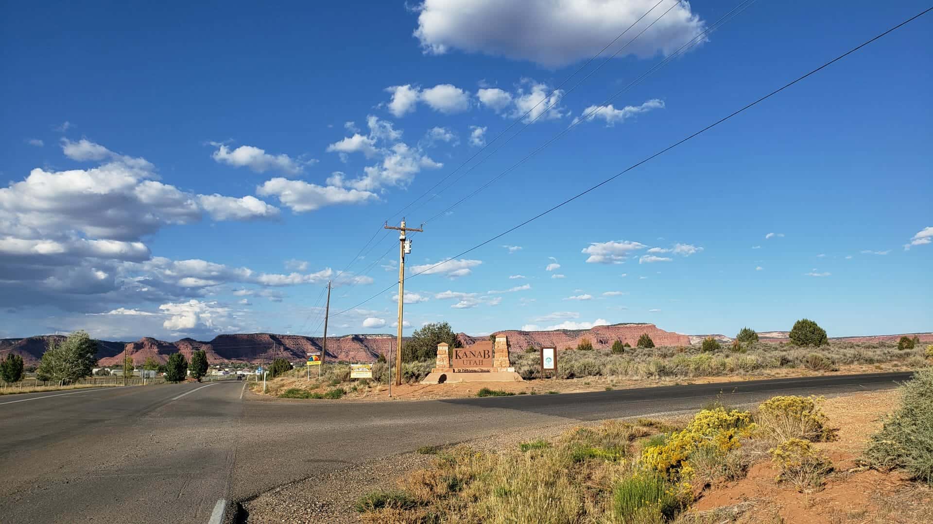
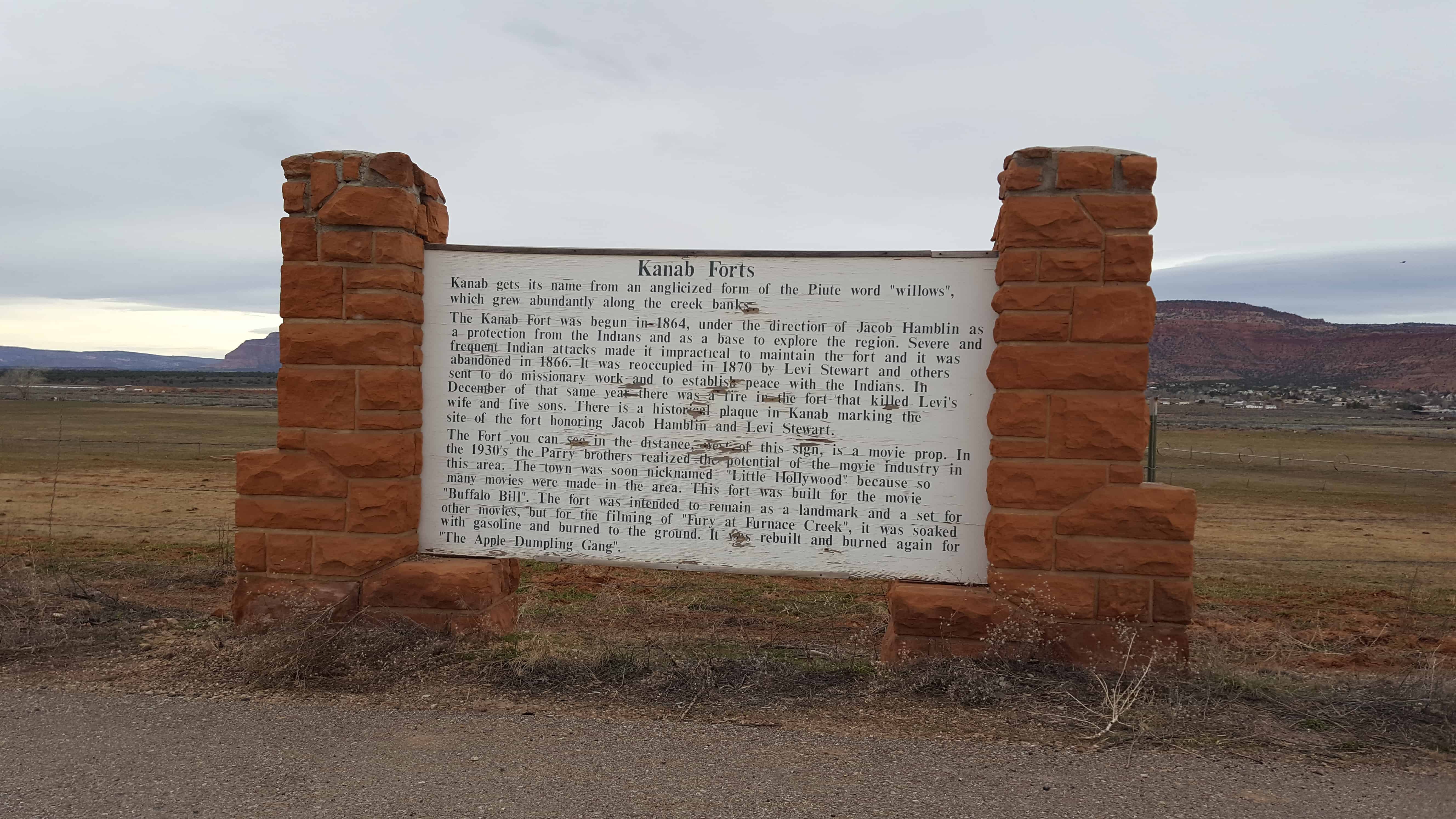
Kanab gets its name from an anglicized form of the Piute word “willows”, which grew abundantly along the creek banks.

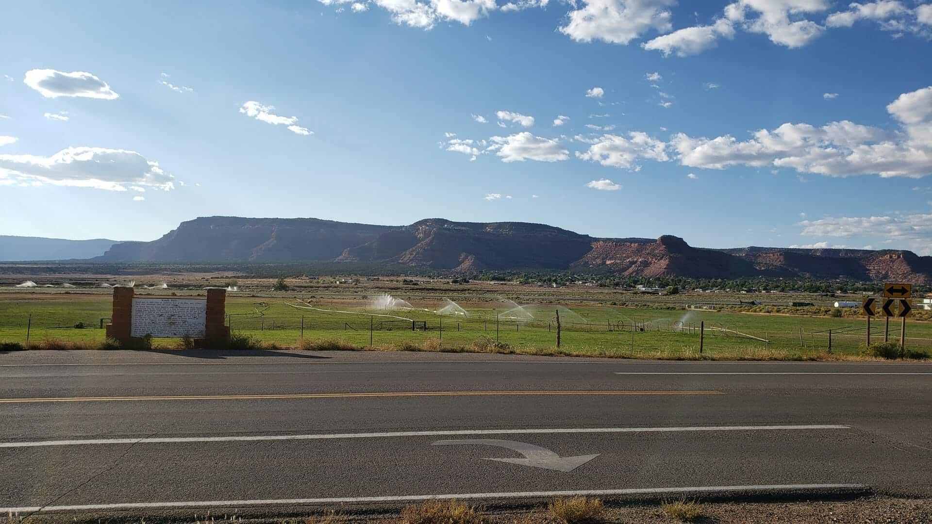
The Kanab Fort was begun in 1864, under the direction of Jacob Hamblin as a protection from the Indians and as a base to explore the region. Severe and frequent Indian attacks made it impractical to maintain the fort and it was abandoned in 1866. It was reoccupied in 1870 by Levi Stewart and others sent to do missionary work and to establish peace with the Indians. In December of that same year there was a fire in the fort that killed Levi’s wife and five sons. There is a historical plaque in Kanab marking the site of the fort honoring Jacob Hamblin and Levi Stewart.

The Fort you can see in the distance, west of this sign, is a movie prop. In the 1930’s the Parry brothers realized the potential of the movie industry in this area. The town was soon nicknamed “Little Hollywood” because so many movies were made in this area. This fort was built for the movie “Buffalo Bill”. The fort was intended to remain as a landmark and a set for other movies, but for the filming of “Fury at Furnace Creek”, it was soaked with gasoline and burned to the ground. It was rebuilt and burned again for “The Apple Dumpling Gang”.
7abfb0e6-4713-4e0d-b9f3-6349161d061b

2017-03-05 10.14.13
Deputy Brian B. Harris

Powell Survey

30 Friday May 2014

Posted by Jacob Barlow in Uncategorized

≈ 1 Comment

Tags

DUP, historic, Kanab, Kane County, utah

picture20sep08-015

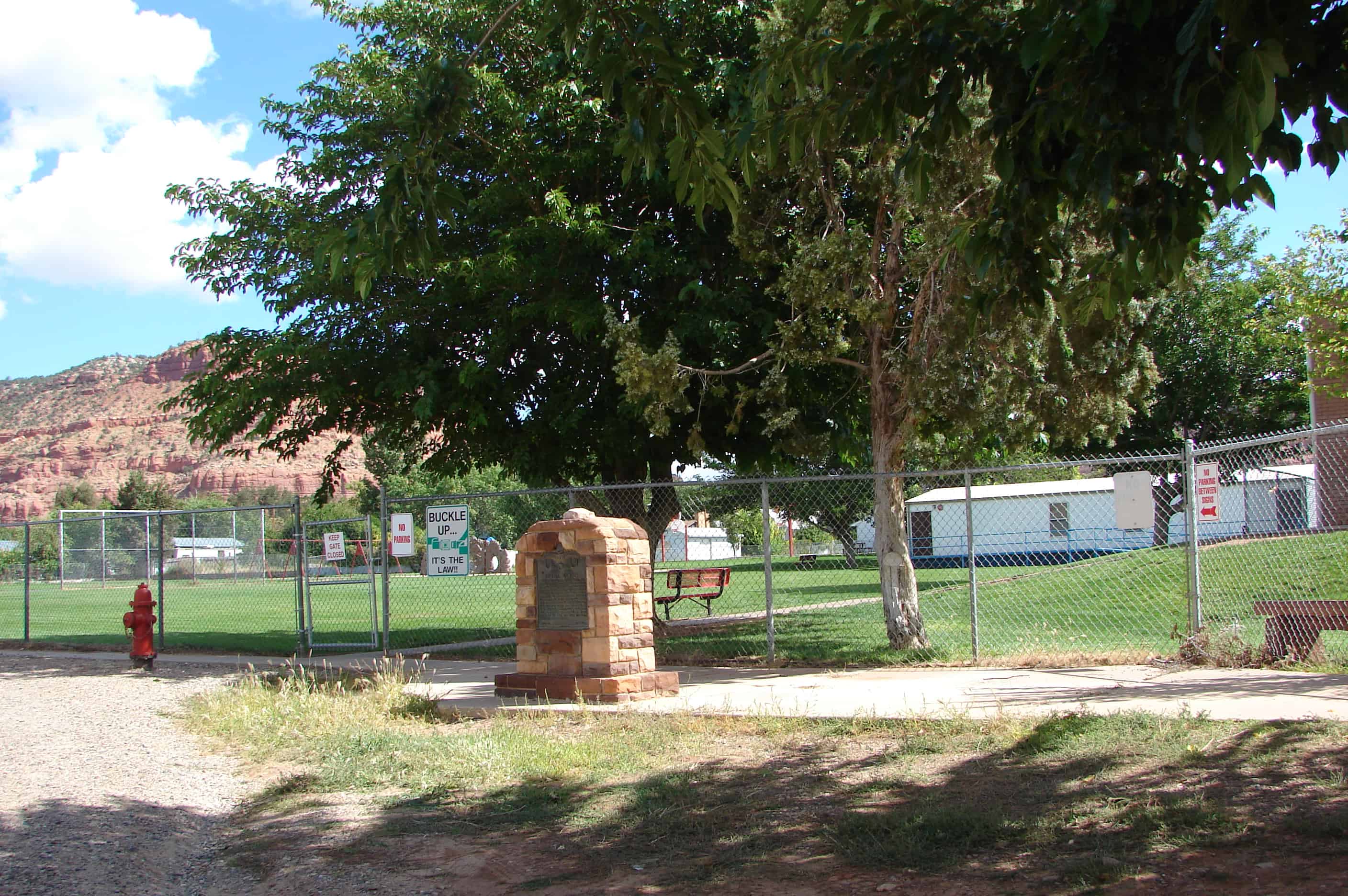
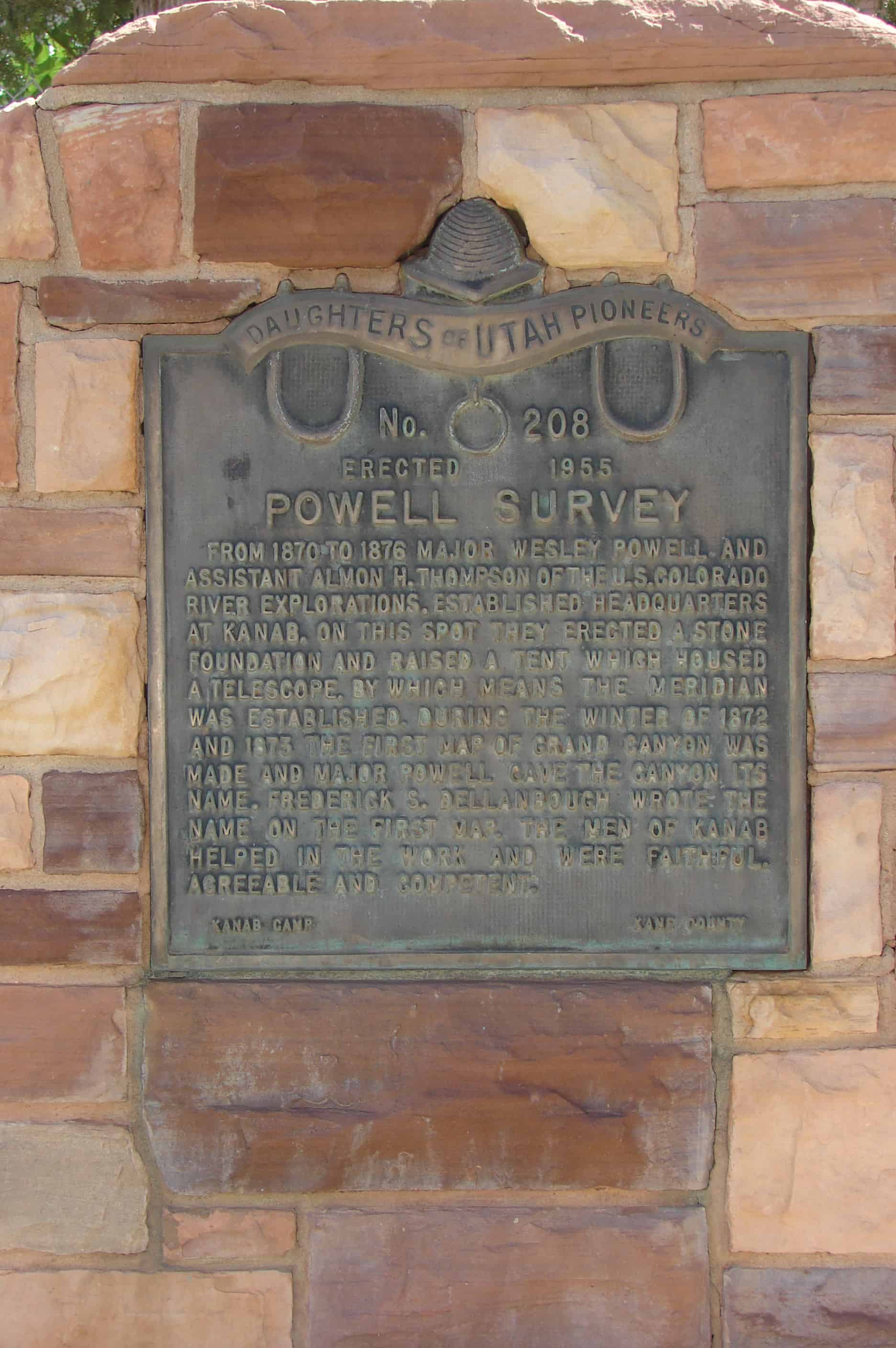
From 1870 to 1876 Major Wesley Powell and assistant Almon H. Thompson of the U.S. Colorado River Explorations, established headquarters at Kanab. On this spot they erected a stone foundation and raised a tent which housed a telescope by which means the meridian was established. During the winter of 1872 and 1873 the first map of Grand Canyon was made and Major Powell gave the canyon its name. Frederick S. Dellanbough wrote the name on the first map. The men of Kanab helped in the work and were faithful, agreeable and competent. Plaque B: (On back) PIONEER WORKMEN ON POWELL SURVEY George Adair, Frank Hamblin, Jacob Hamblin, Lyman Hamblin, Nathan Adams, Fred Hamblin, Joe Hamblin, Will Johnson, Charley Riggs, John Stewart, Brigham Young, John W. Young Paiutes who helped: Chuarumpeck, Kwagunt, Waytoose, Judge Tapeets

picture20sep08-014

ImageImage

Check out all of the historic markers placed by the Daughters of Utah Pioneers at JacobBarlow. com/dup

2017-03-05 10.53.35
2017-03-05 10.53.46
2017-03-05 10.53.51

Old Rock Schoolhouse

23 Thursday Jan 2014

Posted by Jacob Barlow in Uncategorized

≈ 2 Comments

Tags

DUP, historic, Kane County, Orderville, utah

  • Image

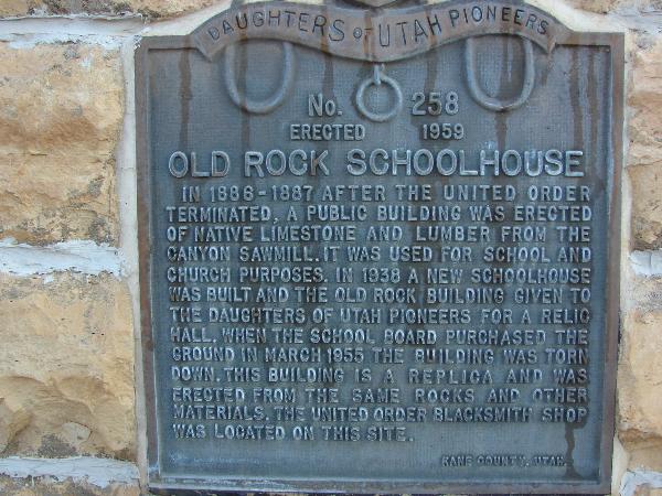
In 1886-1887 after the United Order terminated, a public building was erected of native limestone and lumber from the canyon sawmill. It was used for school and church purposes. In 1938 a new schoolhouse was built and the old Rock Building given to the Daughters of Utah Pioneers for a relic hall. When the school board purchased the ground in March 1955 the building was torn down. This building is a replica and was erected from the same rocks and other materials. The United Order blacksmith shop was located on this site.

  • Image

Located at 110 East State Street in Orderville, Utah at the D.U.P. Museum.

Related:

  • D.U.P. Markers
  • Orderville Bell

United Order Woolen Factory

22 Wednesday Jan 2014

Posted by Jacob Barlow in Uncategorized

≈ 1 Comment

Tags

DUP, Glendale, historic, Kane County, utah

  • 2017-03-05 12.04.55

United Order Woolen Factory

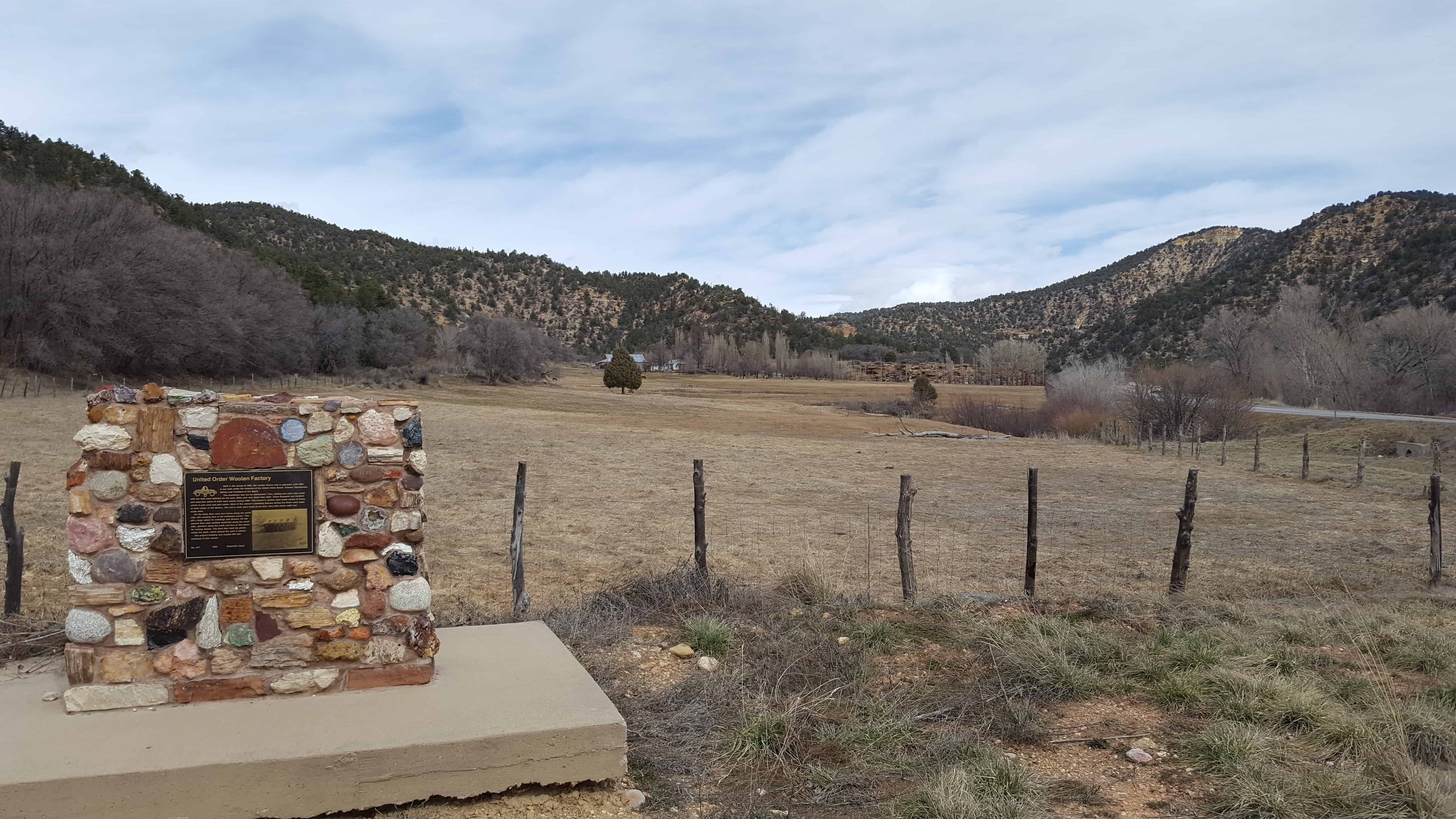
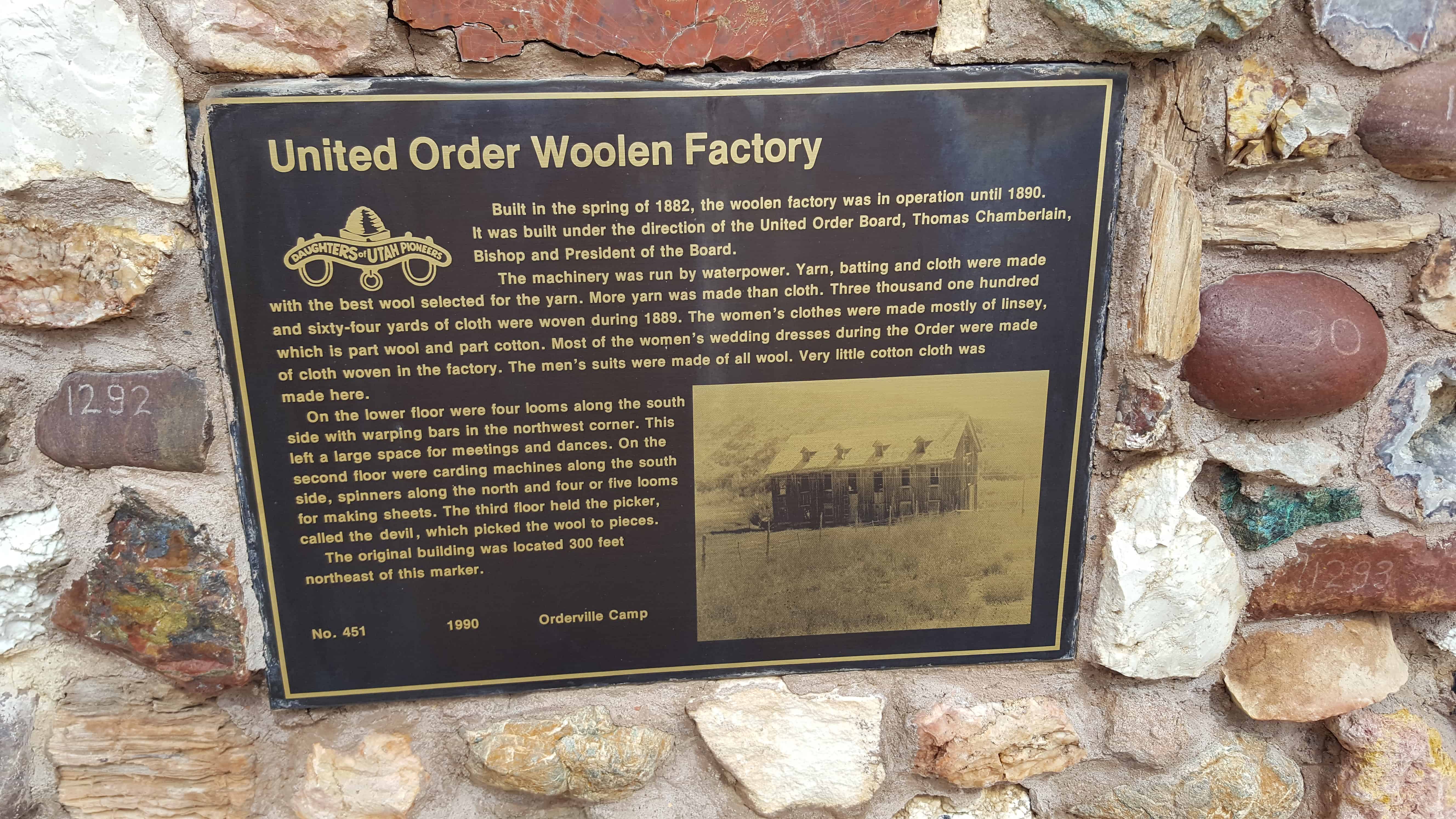
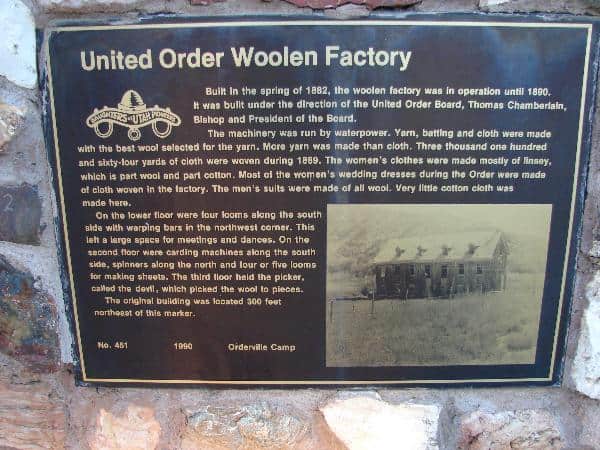
Built in the spring of 1882, the woolen factory was in operation until 1890. It was built under the direction of the United Order Board, Thomas Chamberlain, Bishop and President of the Board.

The machinery was run by waterpower. Yarn, batting and cloth were made with the best wool selected for the yarn. More yarn was made than cloth. Three thousand one hundred and sixty-four yards of cloth were woven during 1889. The women’s clothes were made mostly of linsey, which is part wool and part cotton. Most of the women’s wedding dresses during the Order were made of cloth woven in the factory. The men’s suits were made of all wool. Very little cotton cloth was made here.

On the lower floor were four looms along the south side with warping bars in the northwest corner. This left a large space for meetings and dances. On the second floor were carding machines along the south side, spinners along the north and four or five looms for making sheets. The third floor held the picker, called the devil, which picked the wool to pieces.

The original building was located 300 feet northeast of this marker.

  • 2017-03-05 12.05.02
  • Image
  • Image

Kane County, Utah

06 Wednesday Nov 2013

Posted by Jacob Barlow in Uncategorized

≈ 1 Comment

Tags

Alton, Big Water, Duck Creek, Glendale, Kanab, Kane County, Mt. Carmel, Orderville, utah

picture20sep08-012
  • Belly of the Dragon
  • Bryce Canyon National Park
  • Cascade Falls
  • Cottonwood Canyon Cliff Dwelling
  • Davis Gulch Pictograph Panel
  • Hole-in-the-Rock Trail
    • Chimney Rock
    • Dance Hall Rock
    • Hole-In-The-Rock
    • Hole-in-the-Rock Arch
    • “Hole-In-The-Rock” Crossing
    • Scout Monument
  • Moqui Cave
  • Peek a Boo Trailhead
  • Sand Caves and Rock Art
  • Shingle Creek Rest Area
  • United Order Woolen Factory
  • Zion National Park
    • East Entrance Checking Station
    • East Entrance Residence
    • East Entrance Sign

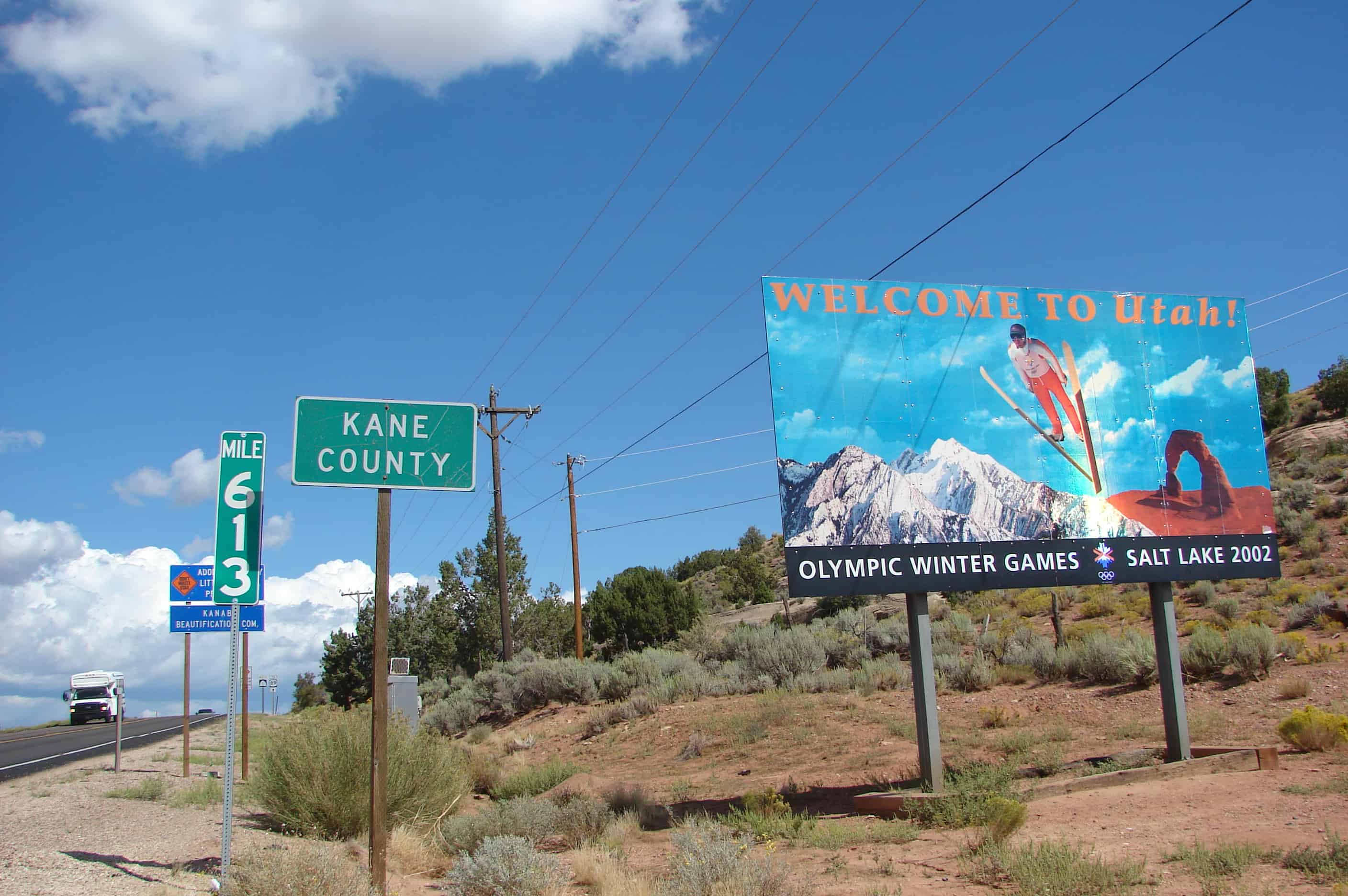
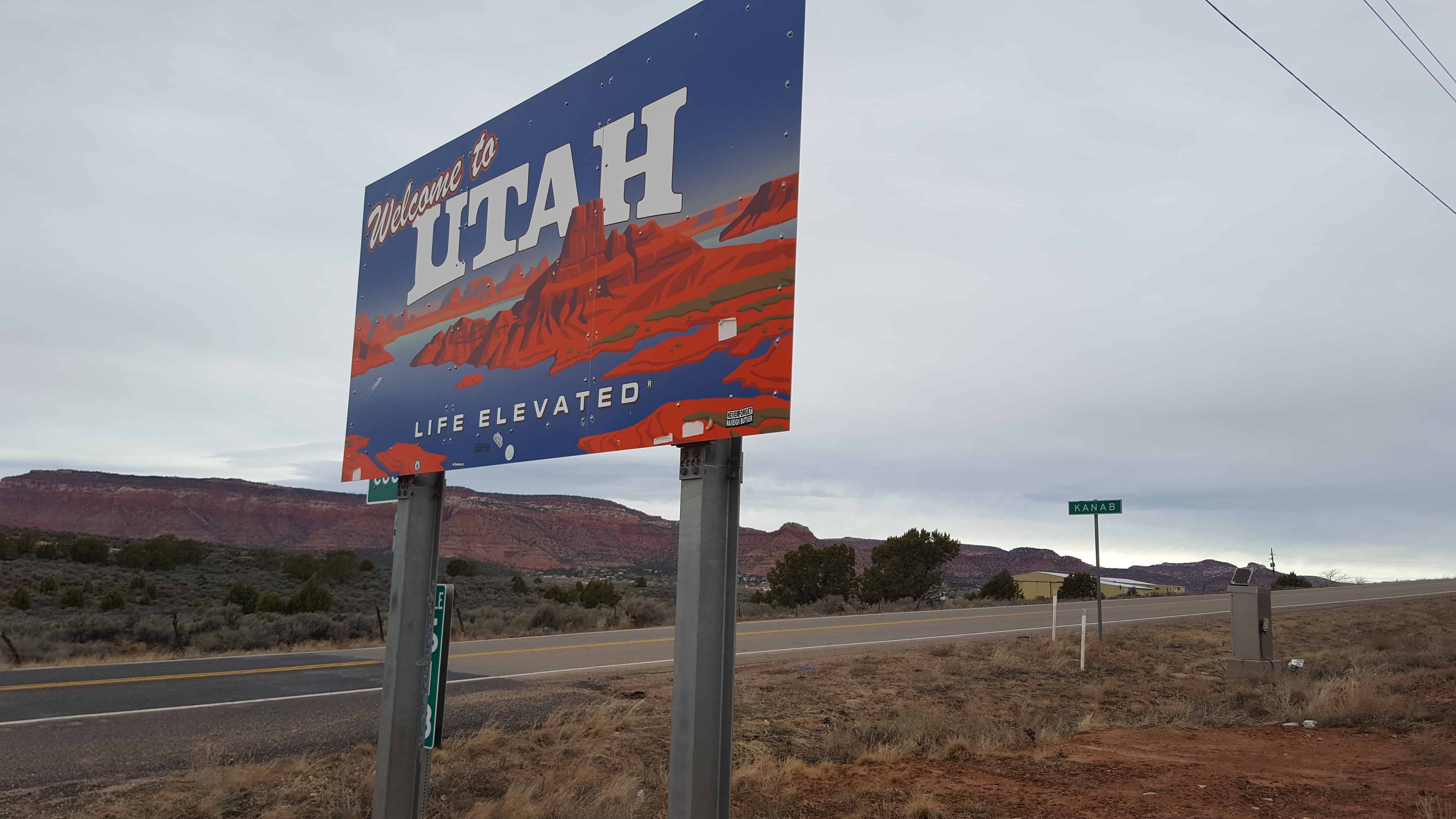
Kane County, named for Col. Thomas L. Kane, a friend of the Mormon settlers. Its county seat and largest city is Kanab.

ARP09 001
dce2b9ad-458e-4492-9b70-9332f2c57718
2016-09-06-17-54-20
3352_75008344233_8216633_n
199571_4311549233_4916_n
10400911_27964539233_6552_n
10400911_27964544233_6980_n

Kane County, Utah

A list of the cities in Kane County from the County’s website.

Kanab
Known as “Utah’s Little Hollywood” for its western movie history, Kanab is Kane County’s largest area of population, as well as the county seat.
Population*: 4,312
Elevation: 4,925 ft.
Founded: 1870

Alton
Nestled in northern Kane County’s high elevations, the tiny town of Alton occupies a scenic peaceful valley, not far from Bryce Canyon.
Population*: 119
Elevation: 7,041 ft.
Incorporated: 1984

Big Water
Minutes from the shores of Lake Powell, Big Water is surrounded by some of the most spectacular scenery in the world.
Population*: 475
Elevation: 4,100 ft.
Incorporated: 1984

Duck Creek
Located on Kane County’s Cedar Mountain, Duck Creek offers year-round activities for the whole family.
Population*:60
Elevation: 8,474 ft.

Glendale
Glendale is located on scenic Highway 89, at the northern end of Long Valley. An entrance to the Grand Staircase-Escalante National Monument is right in the center of town.
Population*: 381
Elevation: 5,800 ft.
Incorporated: 1935

Mt. Carmel
Mt. Carmel, at the junction of highways 9 and 89, is the gateway to Zion National Park’s east entrance.
Population*:116
Elevation: 5,192 ft.
Established: 1865

Orderville
Orderville, initially established under the direct order of Brigham Young, has a rich history which is treasued by modern residents.
Population*: 577
Elevation: 5,250 ft.
Established: 1870

Newer posts →

Follow Jacob

Follow Jacob

Come wander with me on Youtube.

Blog Stats

  • 2,166,543 hits

Social and Other Links

BarlowLinks.com

Recent Posts

  • George and Mary Powelson House
  • 764 E 21st St
  • 728 E 21st St
  • 656 S Egli Court
  • 689 S Egli Court

Archives

Loading Comments...