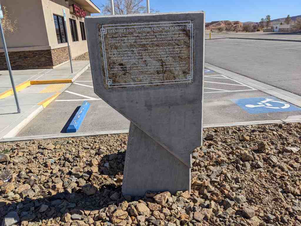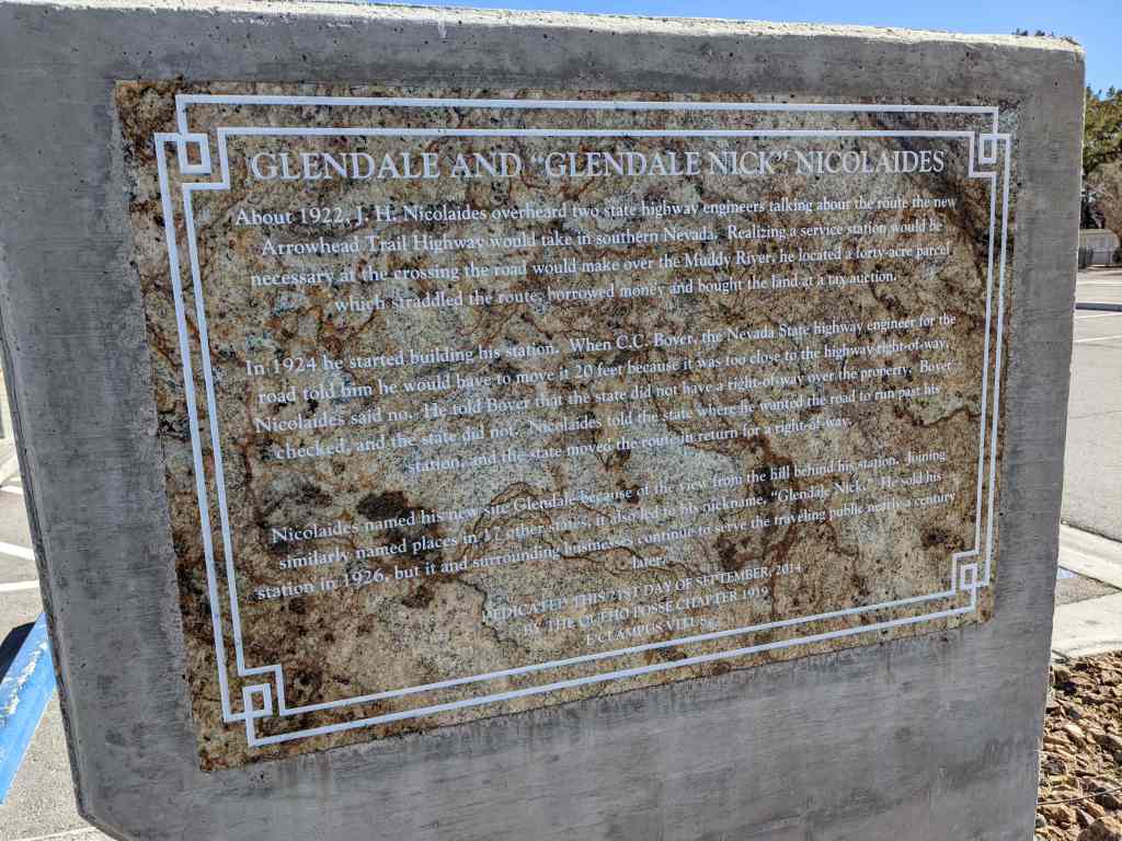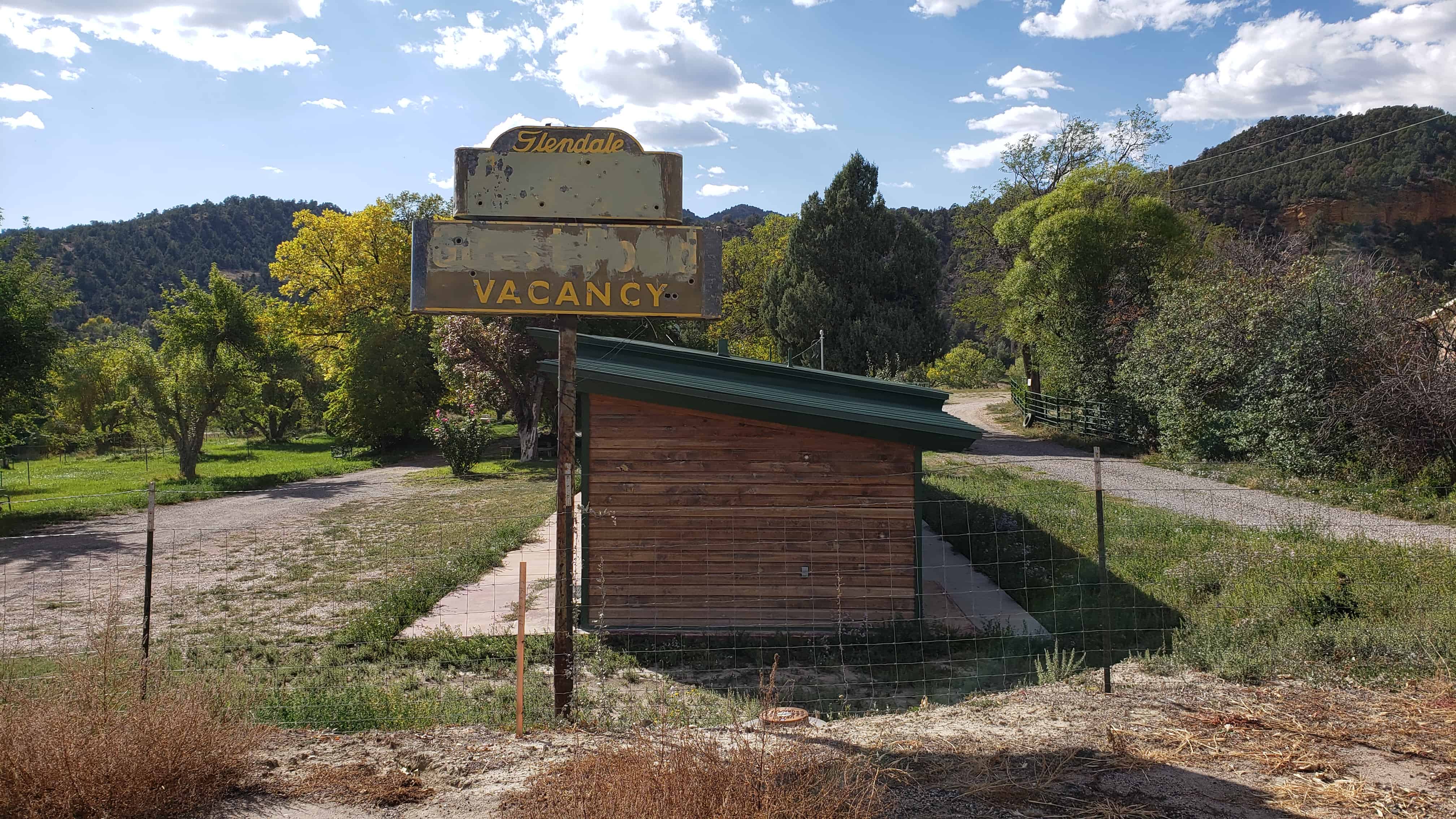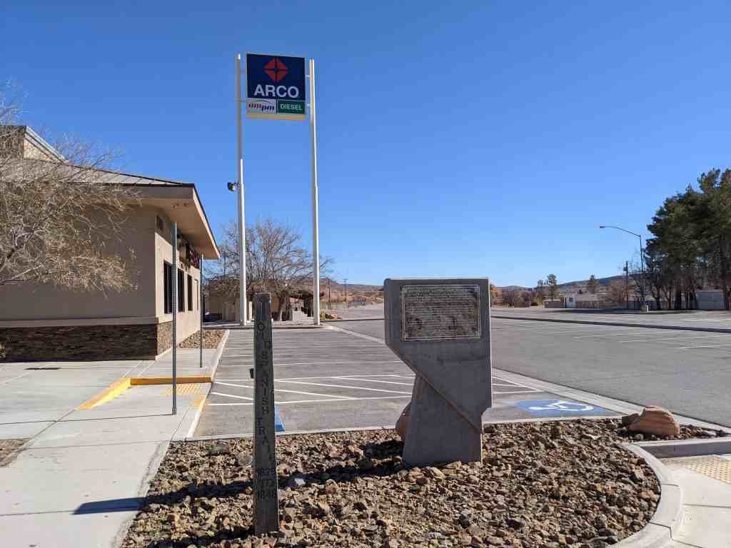
Glendale and “Glendale Nick” Nicolaides
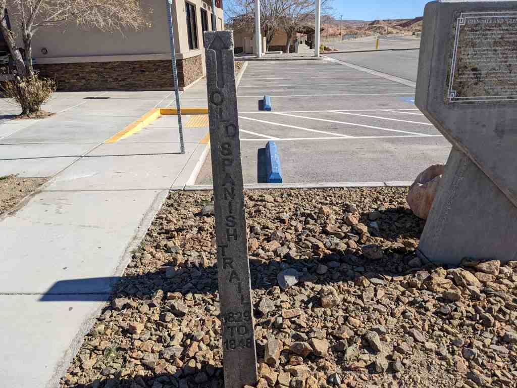
About 1922, J. H. Nicolaides overheard two state highway engineers talking about the new route Arrowhead Trail Highway would take in southern Nevada. Realizing a service station would be necessary at the crossing the road would make over the Muddy River, he located a forty-acre parcel which straddled the route, borrowed money and bought the land at a tax auction.
In 1924 he started building his station. When C. C. Boyer, the Nevada State highway engineer for the road told him he would have to move it 20 feet because it was too close to the highway right-of-way, Nicolaides said no. He told Boyer that the state did not have a right-of-way over the property. Boyer checked, and the state did not. Nicolaides told the state where he wanted the road to run past his station, and the state moved the route in return for a right-of-way.
Nicolaides named his new site Glendale because of the view from the hill behind his station. Joining similarly named places in 17 other states, it also led to his nickname, “Glendale Nick.” He sold his station in 1926, but it and the surrounding business continue to serve the traveling public nearly a century later.
Dedicated this 21st Day of September, 2014 by the Queho Posse Chapter 1919 E Clampus Vitus
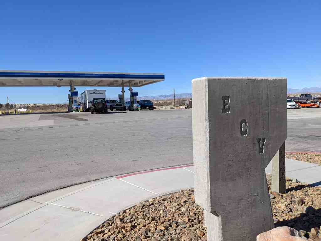
Located at 2300 Glendale Boulevard in Glendale, Nevada