• About JacobBarlow.com
  • Cemeteries in Utah
  • D.U.P. Markers
  • Doors
  • Exploring Utah Email List
  • Geocaching
  • Historic Marker Map
  • Links
  • Movie/TV Show Filming Locations
  • Oldest in Utah
  • Other Travels
  • Photos Then and Now
  • S.U.P. Markers
  • U.P.T.L.A. Markers
  • Utah Cities and Places.
  • Utah Homes for Sale
  • Utah Treasure Hunt

JacobBarlow.com

~ Exploring with Jacob Barlow

JacobBarlow.com

Tag Archives: Magna

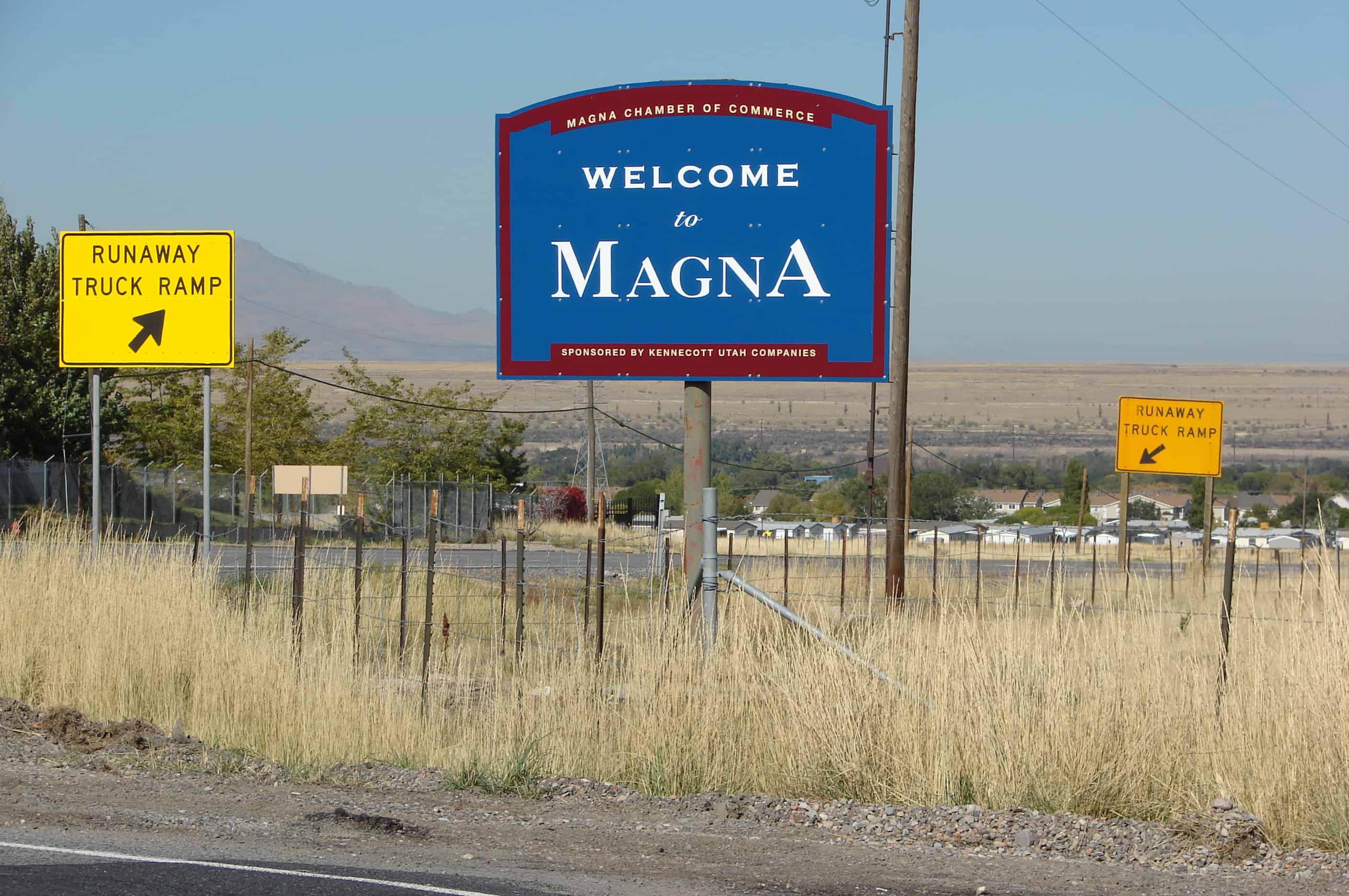
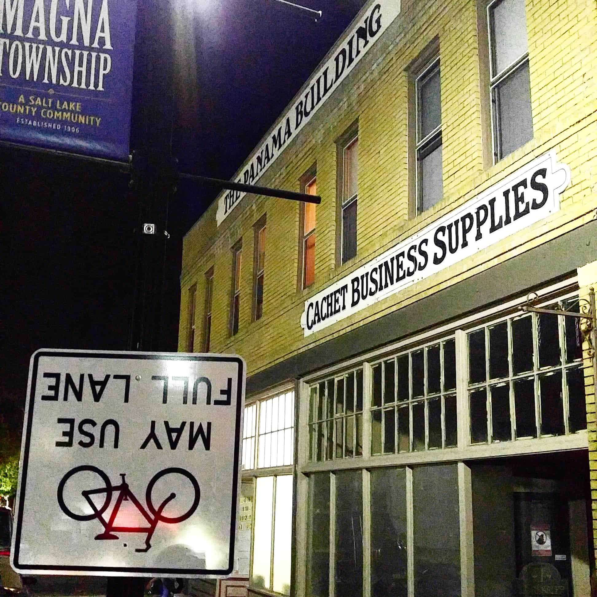
Magna, Utah

01 Monday Aug 2016

Posted by Jacob Barlow in Uncategorized

≈ 7 Comments

Tags

Magna, Salt Lake County, utah

IMG_20160718_223405

Settlement of the area began in 1851 shortly after the Mormon pioneers reached the Salt Lake Valley. Early Farmers settled in 1868 at the base of the northern Oquirrh Mountains and called their community Pleasant Green. By 1900, there were about 20 families in the area.

One of the first Pleasant Green pioneers was Abraham Coon, who established a livestock ranch and settlement called “Coonville” in a canyon mouth at about 5400 South. The canyon is now known as Coon Canyon, and Coon Creek flowing out of it, is one of the major Oquirrh Mountain drainages. Coon Creek flows north and west through Magna to the Great Salt Lake.

In 1897,the first LDS Ward, Pleasant Green Ward, was constructed. Prior to the construction of the ward house church was held in the homes of the settlers. The Pleasant Green Cemetery located in the Oquirrh foothills, about 3500 South, where many community pioneers are buried, was established in 1883.

Related posts:

  • Early Magna Settlements
  • Empress Theatre
  • Historic Main Street
  • Lincoln Highway Marker – Magna, UT
  • Pleasant Green Cemetery
  • Relief Society Granary
  • War Memorial
  •  
  • Magna posts sorted by address
picture19oct08-008
IMG_20160718_223507

In 1890, in response to a law requiring all children to receive a free education, a public school was built at about 4100 South 8450 West This one-room structure, and an existing brick and adobe building at 8600 West 2700 South were known as the District 47 Schools, containing all grades, and served the whole northwestern Salt Lake Valley.

In the early 1900’s, copper mining activity in the Oquirrhs began transforming the Pleasant Green area from an agricultural hamlet to an industrial community. D.C. Jackling established the Utah Copper Company, which later became Kennecott Copper Corp.

In 1906, the company began constructing its Magna Mill. He chose the name “Magna” from the Latin word meaning “great” or “superior.”

Boston Consolidated Copper constructed a second mill in the area in 1909. Two years later the companies merged and the mill was renamed as the Arthur Mill. Construction workers lived in a temporary settlement known as “Ragtown,” that was located north of the present Webster School at the base of the hill on which the mills are still located. Several substantial homes were built in the tent city and later moved to the present community. As the mills began operating, some local farmers traded in their ploughs for a steady company paycheck, and began moving in to work at the mills.

IMG_20160718_230829

In 1906, postal officials complained that “Pleasant Green” was too similar to “Pleasant Grove,” another Utah town. So the community adopted the name “Magna” from the mill.

By 1909, the Hawthorne School (no longer standing) had been built in the eastern Magna area. In 1908, the present Webster School was built at the west end of what is now called Main Street. In 1924, the first building of the present Cyprus High School was completed. Over the years, various new buildings and additions have been constructed to comprise the present school campus.

At the time, automobile commuting to work was not practical, few mining workers had cars and cross valley roads were in marginal condition. Workers lived in the town and walked to the mills. Downtown Magna was scaled to the pedestrian. The area included churches, saloons, fraternal halls, and stores that met residents social, entertainment, and shopping needs. Several small neighborhoods, such as Japtown, Snaketown, and Little Italy developed around main street, all adding to Magna’s colorful history.

Many early residents were immigrants primarily from Eastern Europe. Magna developed a reputation for embodying the American dream – being a town where immigrants’ children gained an education and often moved into professional, business and civic leadership roles in and outside the community.

Between 1915 and 1960, the town’s fortunes fluctuated with the copper industry. During the depression, the mills shut down for a period and workers were laid off. But about 1940, there was resurgence as pending war boosted copper demand and that growth continued through the 1960’s.

By the 1960s, the community was experiencing the first signs of a suburban transition. The Hercules Powder Co., once a small dynamite manufacturing firm, had begun producing rocket motors at its Baccus Works south of the Magna community. The increased jobs were one factor encouraging subdivision development in the Magna, Kearns and West Valley areas.

In 1961, the voters in the Magna Improvement District (now the Magna Water and Sewer District) approved a bond that financed a sewage treatment plant, water storage tanks, pumps and well development. The improvements created sufficient capacity to serve more than double the population at the time and ehlped open the way for development.

Not only did Magna’s population begin shifting southward during the 1960s, but also automobile commuting, both to work and shopping, became common. As business activity moved to other areas, Main Street slowly began to deteriorate. Presently, some of the commercial space there is vacant and in general, ready for businesses that wish to cater to the pedestrian.

During the 1970s, as part of a general west valley suburbanization trend, the community experienced more dramatic growth. Inexpensive land south and east of the historic town center began being developed into moderate priced single-family homes. The new neighborhoods trended to attract middle-income working class couples with younger families. While the community had grown from approximately 8,900 in 1960 to 10,000 in 1970, between 1970 and 2000, population has increased to over 23,000. This increase is about double the countywide growth rate.

For many decades, Magna has maintained its status as one of Utah’s most populous unincorporated communities. With this population come 5 Elementary schools, 2 Jr. High Schools and 1 High School. We have 3 grocery stores and numerous other eating and shopping areas outside of the downtown area.

We have brought about changes in our area that have made us a Township in Salt Lake County. This change alone took over 10 years. Our growth and development continue to be a big part of what makes up Magna. Magna is an area to be watched in the present and future of Utah, as we grow and bring about great things for all.(*)

Saltair, Utah

15 Sunday Feb 2015

Posted by Jacob Barlow in Uncategorized

≈ 4 Comments

Tags

Magna, Salt Lake City, Salt Lake County, Saltair, Tooele, Tooele County, utah

ff03c9fe-e7da-4fe2-9a8b-37e4320a986c

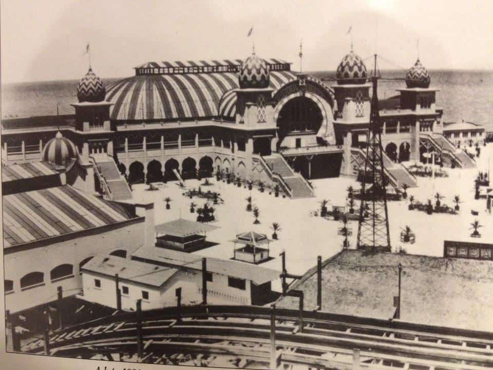
Saltair has been several resorts on the shore of the Great Salt Lake. The first was built in 1893 and designed by Richard K.A. Kletting, resting on over 2,000 posts holding it above the water. It burned down in 1925.

The replacement, Saltair II lasted until it shut down in 1958 and the remains burned by arson in 1970.

In 1981 the third was constructed.

Related:

  • A. E. Tourssen Motor Company Photo Shoot (100 Year Car Tour)
2017-08-23 15.24.56
SaltAir2
SaltAir3
SaltAir4
SaltAir5
SaltAir6

Copperton, Utah

22 Saturday Nov 2014

Posted by Jacob Barlow in Uncategorized

≈ 1 Comment

Tags

Bingham, Bingham Canyon, Copperton, Magna, Salt Lake County, utah

picture19oct08-010

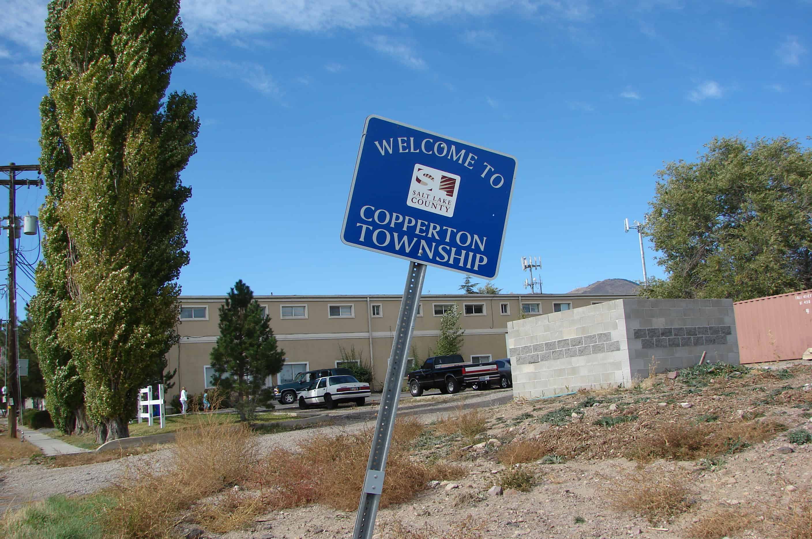
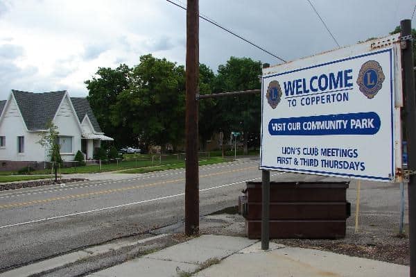
Copperton is a township at the mouth of Bingham Canyon, built as a model city for the employees of the Utah Copper Company. Bingham or Bingham Canyon were names of the mining town in the area before Copperton.

Related:

  • Bingham Canyon Open Pit Copper Mine
  • Copperton Historic District
56d2263c-adb1-49c3-8d72-2931017fa22b

Click here to see my list of other places in Utah.

Related Posts:

  • Bingham B on the mountain
  • Bingham City Cemetery

Bingham Canyon, Utah

20 Thursday Nov 2014

Posted by Jacob Barlow in Uncategorized

≈ Leave a comment

Tags

Bingham Canyon, historic, Magna, Mining, Salt Lake County, utah

  • 4a3bc559-51b1-48c3-90e6-efef85607e02

The geographic feature known as Bingham Canyon received its name from the location’s two first settlers, the brothers Thomas and Sanford Bingham, who arrived in the canyon in 1848. Initially, the area was utilized for livestock grazing and logging, but the region’s economic focus changed with the 1863 discovery of rich gold and silver ore bodies in the canyon. Mining activity in Bingham Canyon boomed after the Bingham Canyon and Camp Floyd Rail Road completed a line to the canyon in 1873, and as the region grew the focus shifted to the high-quality copper ores in the district. As the mines grew, the town of Bingham also expanded, spreading along the narrow and steep canyon floor below the mines.

  • The old city hall building

Early Magna Settlements

05 Tuesday Aug 2014

Posted by Jacob Barlow in Uncategorized

≈ 2 Comments

Tags

historic, Magna, Salt Lake County, SUP, utah

2013-04-09-11-48-17

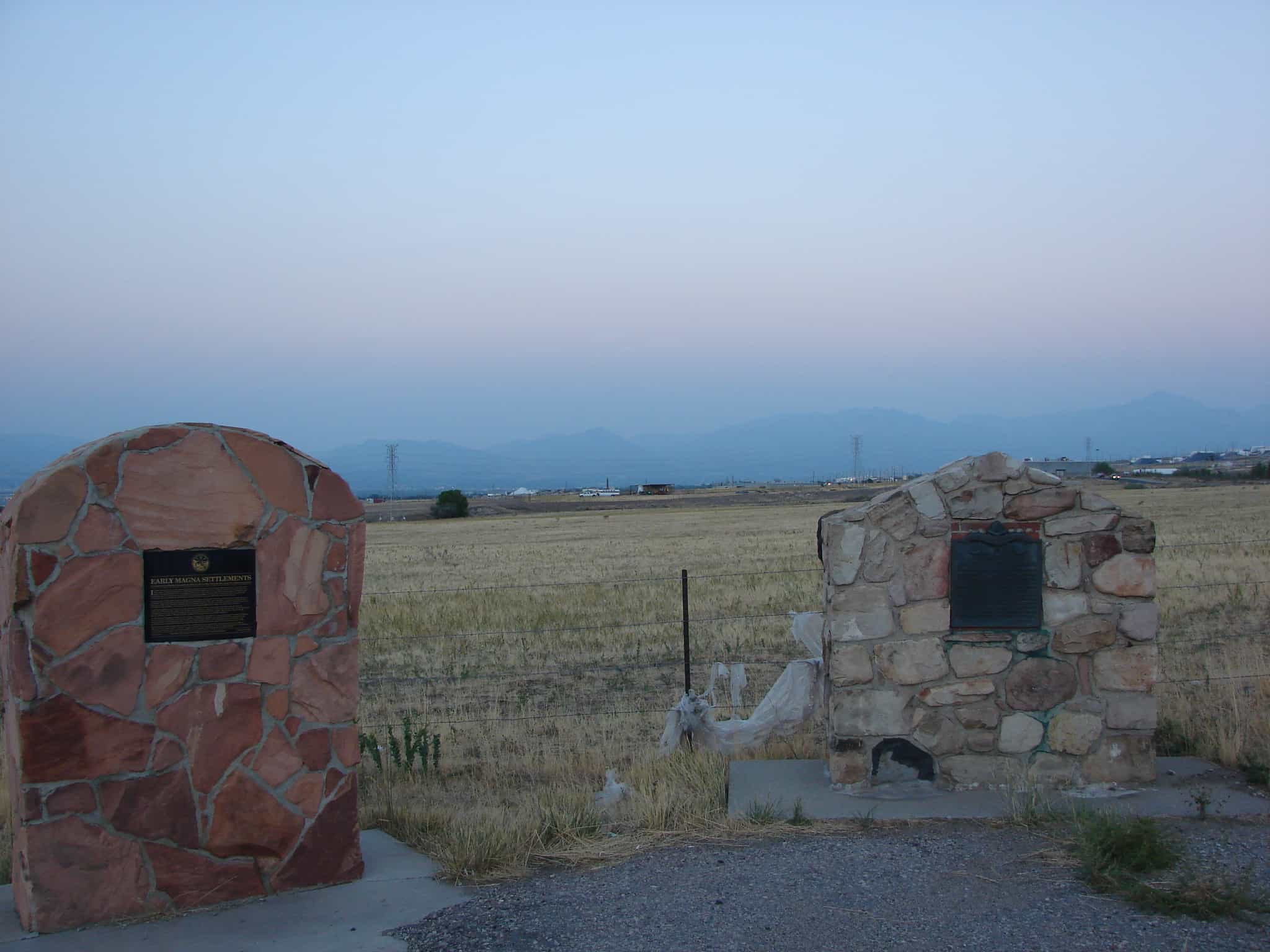
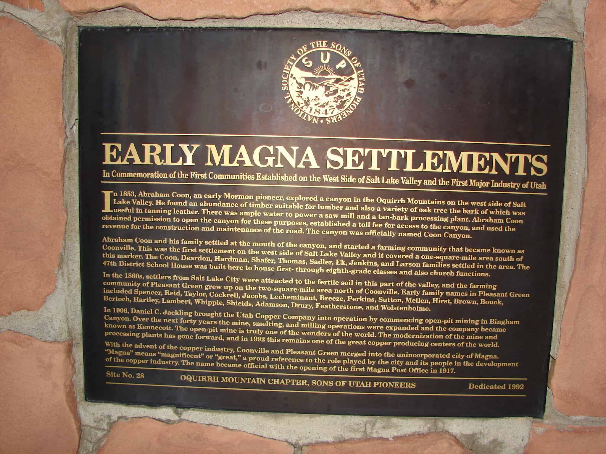
EARLY MAGNA SETTLEMENTS
In Commemoration of the First Communities Established on the West Side of Salt Lake Valley and the First Major Industry of Utah In 1853 Abraham Coon, an early Mormon pioneer, explored a canyon in the Oquirrh Mountains on the west side of Salt Lake Valley. He found an abundance of timber suitable for lumber and also a variety of oak tree the bark of which was useful in tanning leather. There was ample water to power a saw mill and a tan-bark processing plant. Abraham Coon obtained permission to open the canyon for these purposes, established a toll fee for access to the canyon, and used the revenue for the construction and maintainance of the road. The canyon was officially named Coon Canyon. Abraham Coon and his family settled at the mouth of the canyon, and started a farming community that became known as Coonville. This was the first settlement on the west side of Salt Lake Valley and it covered a one-square-mile area south of this marker. The Coon, Deardon, Hardman, Shafer, Thomas, Sadler, Ek, Jenkins, and Larson families settled in the area. The 47th District School House was built here to house first- through eighth-grade classes and also church functions. In the 1860s, settlers from Salt Lake City were attracted to the fertile soil in this part of the valley, and the farming community of Pleasant Green grew up on the two-square-mile area north of Coonville. Early family names in Pleasant Green included Spencer, Reid, Taylor, Cockrell, Jacobs, Lecheminant, Breeze, Perkins, Sutton, Mellen, Hirst, Brown, Bouck, Bertoch, Hartley, Lambert, Whipple, Shields, Adamson, Drury, Featherstone, and Wolstenholme. In 1906, Daniel C. Jackling brought the Utah Copper Company into operation by commencing open-pit mining in Bingham Canyon. Over the next forty years the mine, smelting, and milling operations were expanded and the company became known as Kennecott. The open-pit mine is truly one of the wonders of the world. The modernization of the mine and processing plants has gone forward, and in 1992 this remains one of the great copper producing centers of the world. With the advent of the copper industry, Coonville and Pleasant Green merged into the unincorporated city of Magna. “”Magna” means “magnificent” or “great,” a proud reference to the role played by the city and its people in the development of the copper industry. The name became official with the opening of the first Magna Post Office in 1917.

See other historic markers in the series on this page for SUP Markers.

This marker is located right next to DUP Marker #319.

Pleasant Green Ward

07 Saturday Jun 2014

Posted by Jacob Barlow in Uncategorized

≈ Leave a comment

Tags

DUP, historic, Magna, Salt Lake County, utah

2013-04-09-12-00-29

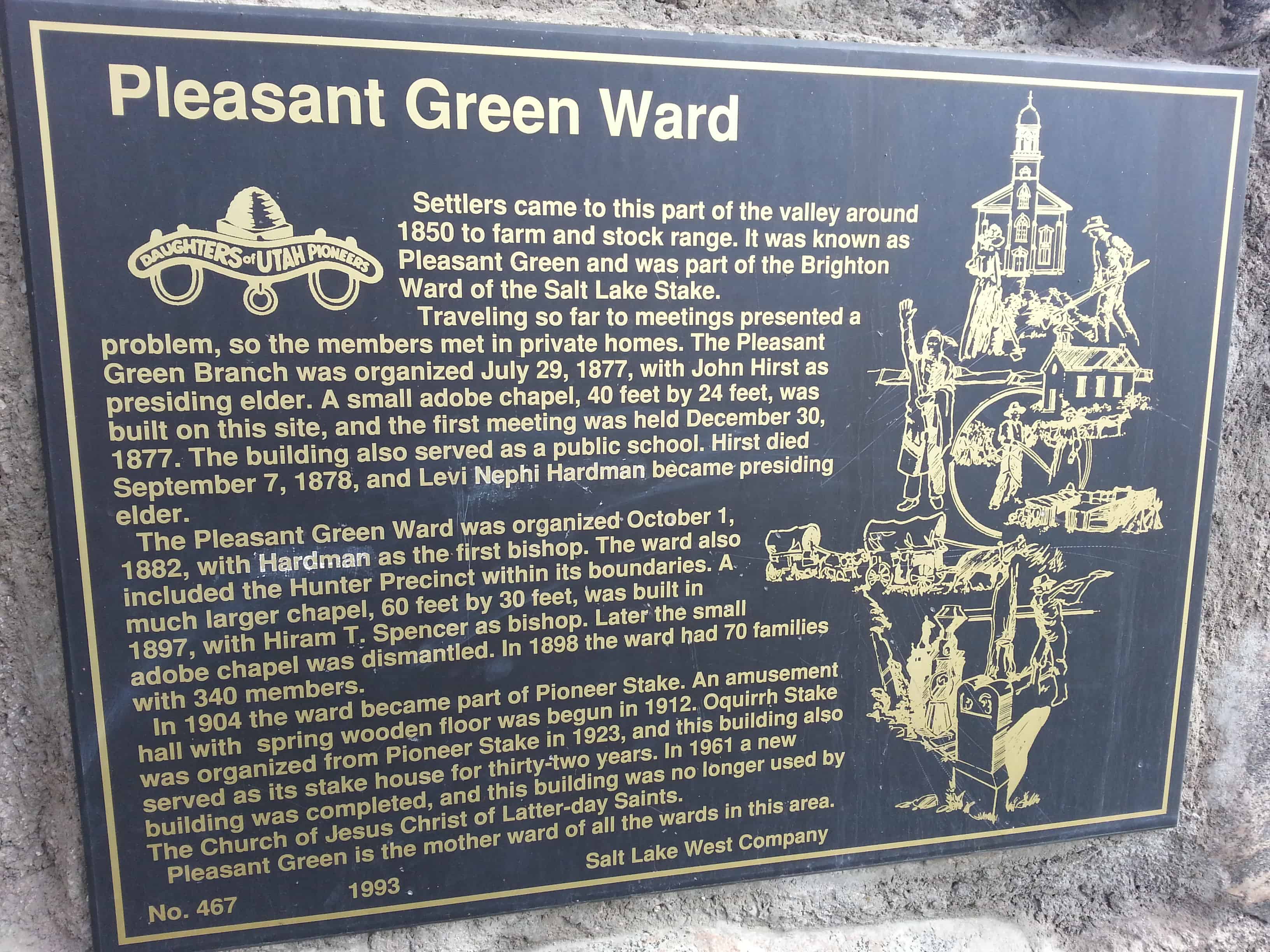
Settlers came to this part of the valley around 1850 to farm and stock range. It was known as Pleasant Green and was part of the Brighton Ward of the Salt Lake Stake.

Traveling so far to meetings presented a problem, so members met in private homes. The Pleasant Green Branch was organized July 29, 1877, with John Hirst as presiding elder. A small adobe chapel, 40 feet by 24 feet, was built on this site, and the first meeting was held December 30, 1877. The building also served as a public school. Hirst died September 7, 1878, and Levi Nephi Hardman became presiding elder.

The Pleasant Green Ward was organized October 1, 1882, with Hardman as the first bishop. The ward also included the Hunter Precinct within its boundaries. A much larger chapel, 60 feet by 30 feet, was built in 1897, with Hiram T. Spencer as bishop. Later the small adobe chapel was dismantled. In 1898 the ward had 70 families with 340 members.

In 1904 the ward became part of Pioneer Stake. An amusement hall with spring wooden floor was begun in 1912. Oquirrh Stake was organized from Pioneer Stake in 1923, and this building also served as its stake house for thirty-two years. In 1961 a new building was completed, and this building was no longer used by The Church of Jesus Christ of Latter-day Saints.

This historic marker is #467 of those erected by the Daughters of Utah Pioneers, erected in 1993 at 8673 West 2700 South in Magna, Utah.

  • D.U.P. Historic Markers
2013-04-09-12-00-18

Relief Society Granary

05 Thursday Jun 2014

Posted by Jacob Barlow in Uncategorized

≈ 3 Comments

Tags

DUP, historic, Magna, Salt Lake County, utah

picture8sep07-021

In 1876 President Brigham Young called the women of the Relief Society to gather and store wheat to be used in times of need. Pleasant Green Relief Society was organized in 1879, Charlotte Hirst, president. June 24, 1885, a rock granary built on land given by Joseph Dearden was dedicated. Most materials and labor were donated. Later it became the property of the American Smelting and Refining Co. Presented to The Daughters of Utah Pioneers, 1964. Destroyed by rural construction, 1964. Monument replica of granary and built of original materials.

Located in Magna, Utah.

picture8sep07-019

Another nearby marker:

Image

Check out all of the historic markers placed by the Daughters of Utah Pioneers at JacobBarlow. com/dup

Cave

27 Tuesday May 2014

Posted by Jacob Barlow in Uncategorized

≈ Leave a comment

Tags

DUP, historic, Magna, Salt Lake County, utah

picture21aug07-094

Cave
In the early days this roadside cave provided travelers with natural and welcome shelter for both man and beast. In 1860 it served as a Pony Express Station; later a stopping place for the Overland Mail. Joseph Toronto was one of the pioneer owners. In 1938, it was explored by a scientific group from the University of Utah, and the artifacts discovered proved to be a rich deposit of archeological material. The American Smelting Company bought it about 1905. Later it was purchase by the Garfield Improvement Group.

picture21aug07-093

garfieldpics07


Update: Above are photos and historic marker text from when I first visited in 2008.  Below is the replaced marker and text on the same stone from when I stopped by in 2018.

2018-05-26 13.33.23

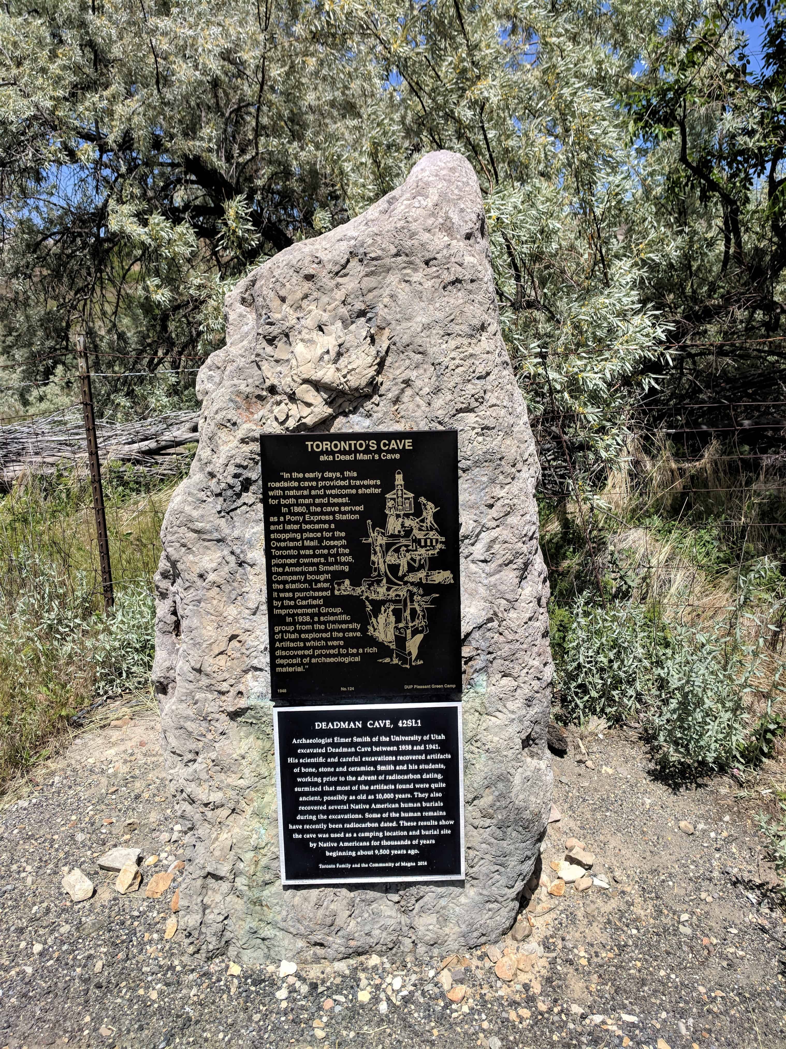
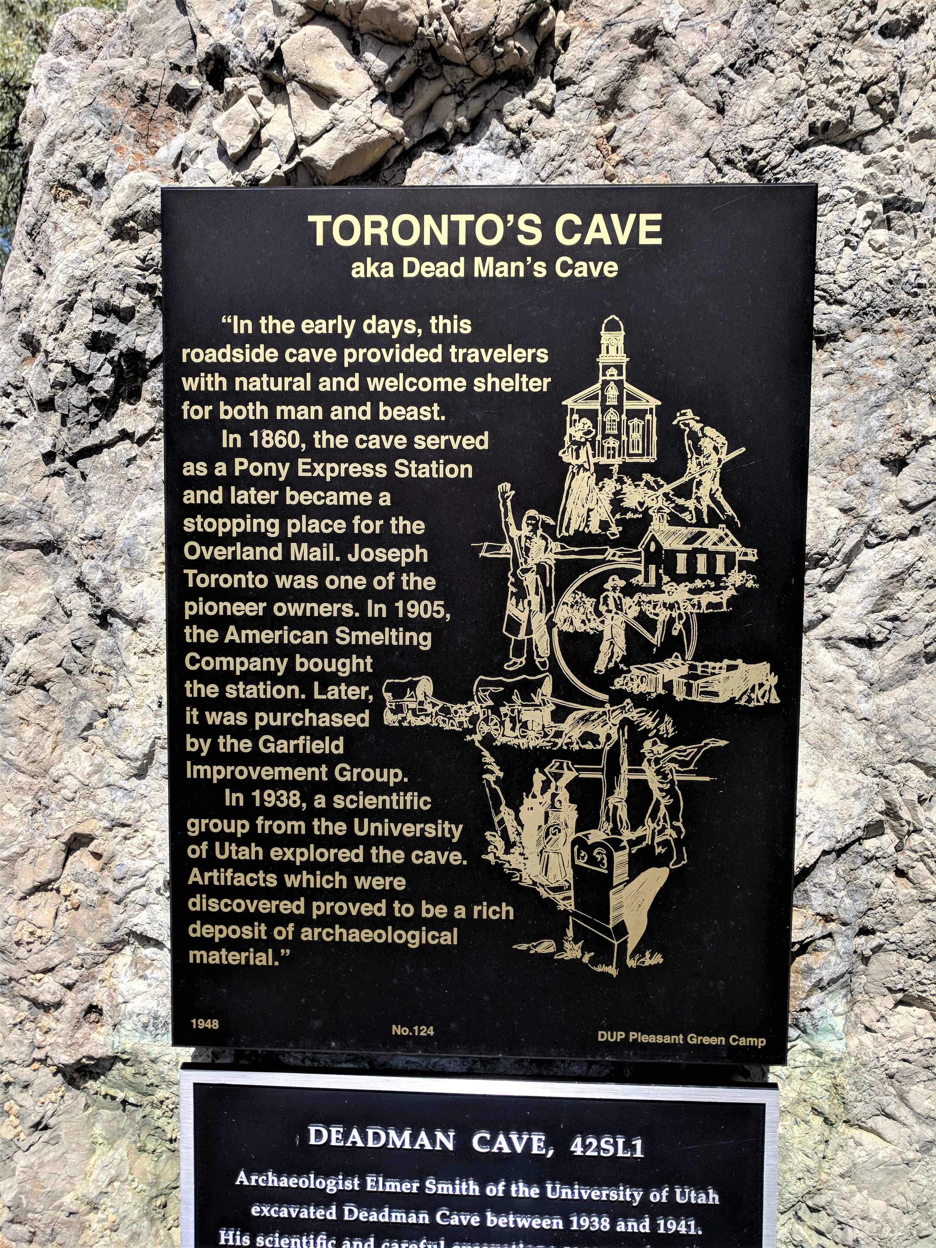
Toronto’s Cave aka Dead Man’s Cave
In the early days this roadside cave provided travelers with natural and welcome shelter for both man and beast. In 1860 the cave served as a Pony Express Station and later became a stopping place for the Overland Mail. Joseph Toronto was one of the pioneer owners. In 1905, the American Smelting Company bought the station.  Later, it was purchased by the Garfield Improvement Group.  In 1938, a scientific group from the University of Utah explored the cave. Artifacts which were discovered proved to be a rich deposit of archaeological material.

Deadman Cave, 42SL1
Archaeologist Elmer Smith of the University of Utah excavated Deadman Cave between 1938 and 1941.  His scientific and careful excavations recovered artifacts of bone, stone and ceramics.  Smith and his students, working prior to the advent of radiocarbon dating, surmised that most of the artifacts found were quite ancient, possibly as old as 10,000 years.  They also recovered several Native American human burials during the excavations.  Some of the human remains have recently been radiocarbon dated.  These results show the cave was used as a camping location and burial site by Native Americans for thousands of years beginning about 9,500 years ago.

2018-05-26 13.33.09

2018-05-26 13.33.13

2018-05-26 13.33.15

2018-05-26 13.33.26

2018-05-26 13.33.29

2018-05-26 13.33.32

2018-05-26 13.36.18

2018-05-26 13.37.59

2018-05-26 13.38.02

Check out all of the historic markers placed by the Daughters of Utah Pioneers at JacobBarlow.com/dup

Newer posts →

Follow Jacob

Follow Jacob

Come wander with me on Youtube.

Blog Stats

  • 2,129,870 hits

Social and Other Links

BarlowLinks.com

Recent Posts

  • Utah Southern Railroad Depot
  • John Ford Point
  • William Capener House
  • Justus Wellington Seeley II House
  • Huntington Roller Mill and Miller’s House

Archives

Loading Comments...