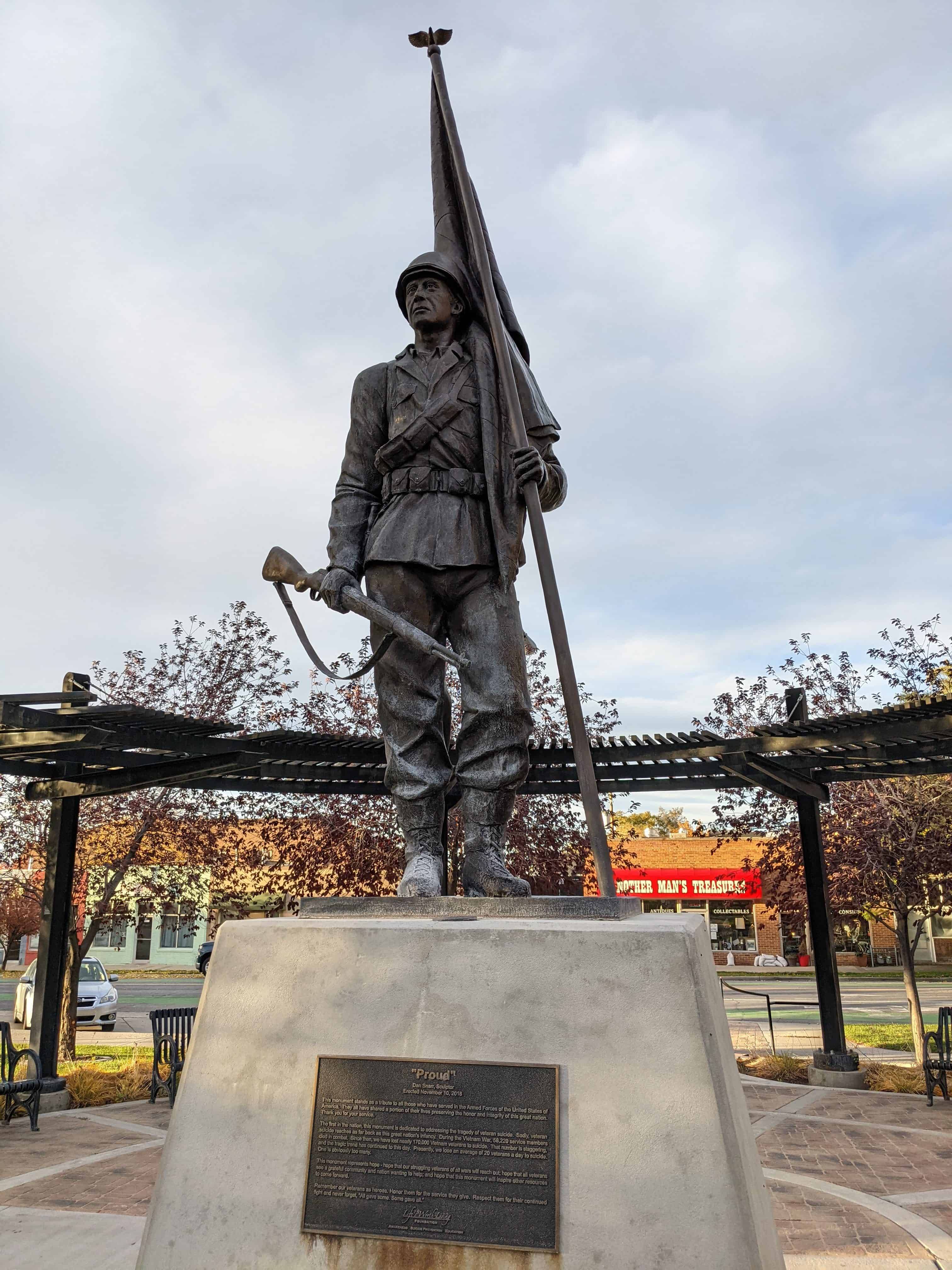
Tags
Tooele Valley Railroad Complex
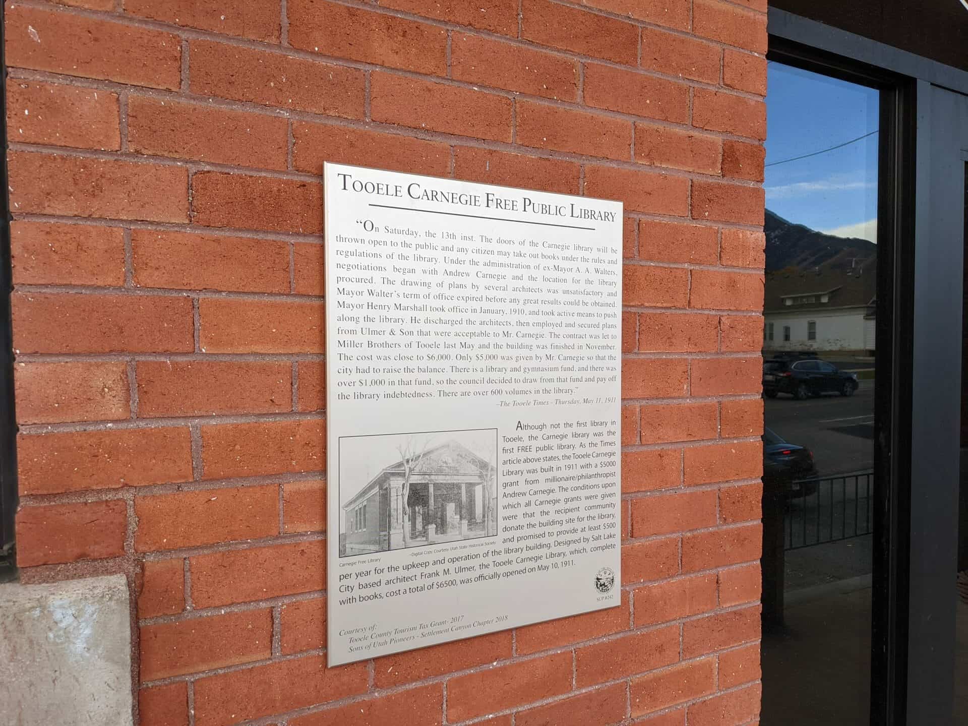
Built in 1909, the Tooele Valley Railroad Complex is historically significant for the integral role it played in the transformation of Tooele from a primarily agricultural community to an industrial based community. For over 60 years the Tooele Valley Railroad transported products from the smelter east of town to the main railway lines west of town. The smelter, constructed in 1909-10 and dismantled in 1972, was one of the major facilities of its kind in the state and served locally as a dominant factor in the growth and economic development of the community. The depot is the only remaining building in Tooele closely associated with the activity of the smelter. During much of the time of its operation, the Tooele Valley Railroad also served as an important local carrier of passengers and freight.
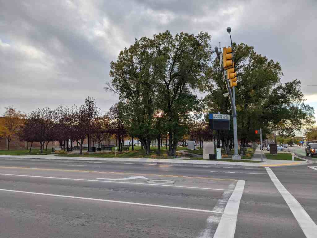
The Tooele Valley Railroad Complex is located at 35 North Broadway Avenue in Tooele, Utah and was added to the National Register of Historic Places (#84002426) on May 17, 1984.
The Tooele Valley Railroad (TVR) was built as a connection between the International Smelting and Refining Company’s plant, (built 1909-1910) located five miles east of Tooele, Utah, and the Union Pacific and Western Pacific railways at Warner, Utah, two miles west of Tooele. The International Smelting and Refining Company brought many new peoples to the Tooele area. By 1912 a new town had been built east of Tooele to house 1,000 people. Most of these new citizens were from the Balkans, Italy, and Mediterranean areas. The TVR transported smelted products from the smelter to the main railway connections in Warner, two miles west of town. For years, the TV (as the railway was called) was a familiar sight as it passed through town several times a day hauling workers to and from the smelter as well as ore and supplies to and from the Warner depot.
The Tooele Valley Depot was built “car door to dock high” to facilitate loading and unloading less-than-car-load (LCD freight for Tooele merchants. Prior to 1909, Tooele merchants had to have their goods hauled by team and wagon from the Warner depot. In 1942 the depot was handling three cars of LCL items each week, but, with the advent of graveled roads, automobiles and trucks gradually took over Tooele Valley Railroad’s LCL business. By 1950 a trucking line had taken over all of the railroad’s small lot shipments.
The depot was the operations center for the railroad. Weigh bills and bills of loading for outgoing freight from the smelter and local shippers were prepared there. The depot issued operating instructions to railroad conductors and section foremen and processed reports received from them. The building provided office space for a telegrapher, station agent, time keeper, paymaster, two accountants, and the TV railroad superintendent as well as a baggage room and scales.
age room and scales. Besides serving the International Smelting & Refining Co. and local merchants, the TVR provided passenger service that matched Union Pacific Railroad’s schedule (tickets were sold at a small office at 18 West Vine). Rail spurs also served coal and oil companies in the area with car load lots. Approximately seven miles of track was serviced by crews working 7 hours a day, three shifts each day. Four steam driven, coal fired engines pulled the freight along the tracks. The last run made by one of these steam locomotives was on May 30, 1963 when they were replaced by two diesel/electric locomotives.
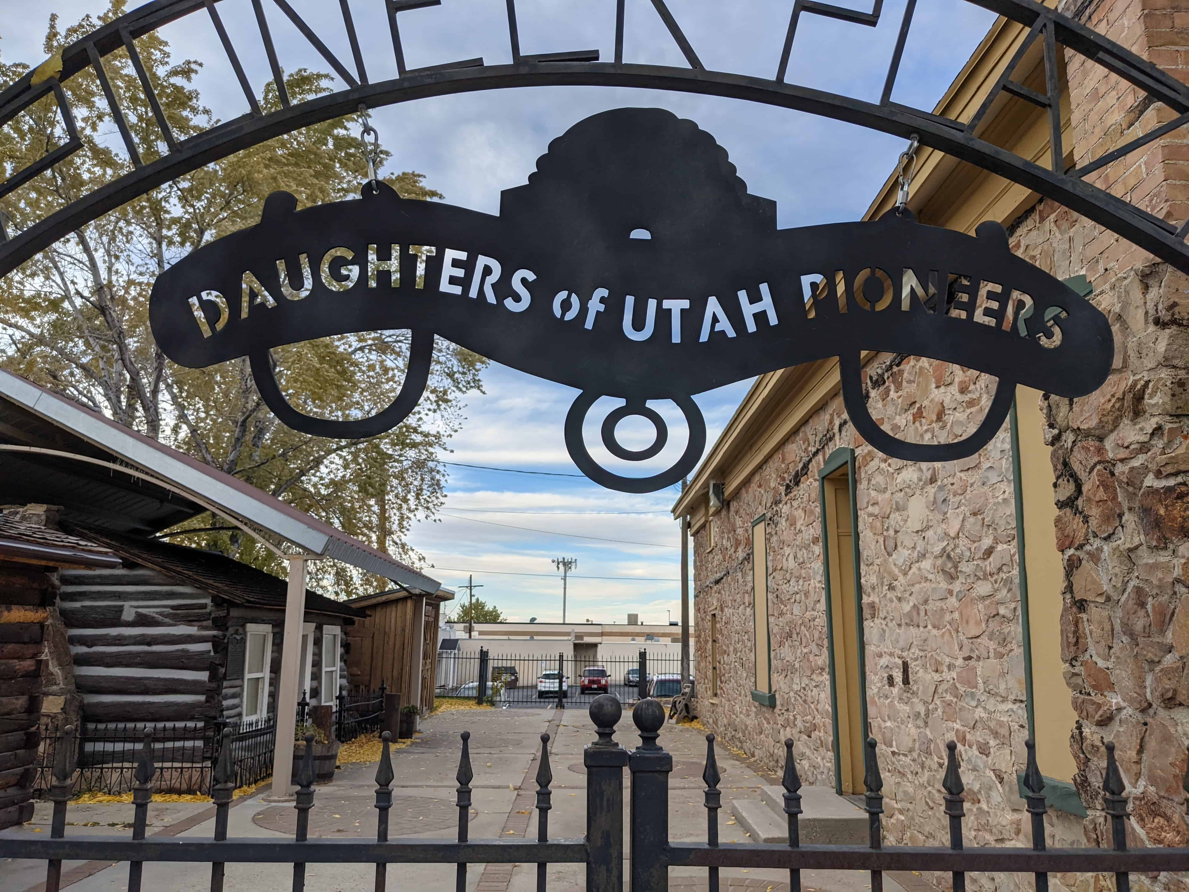
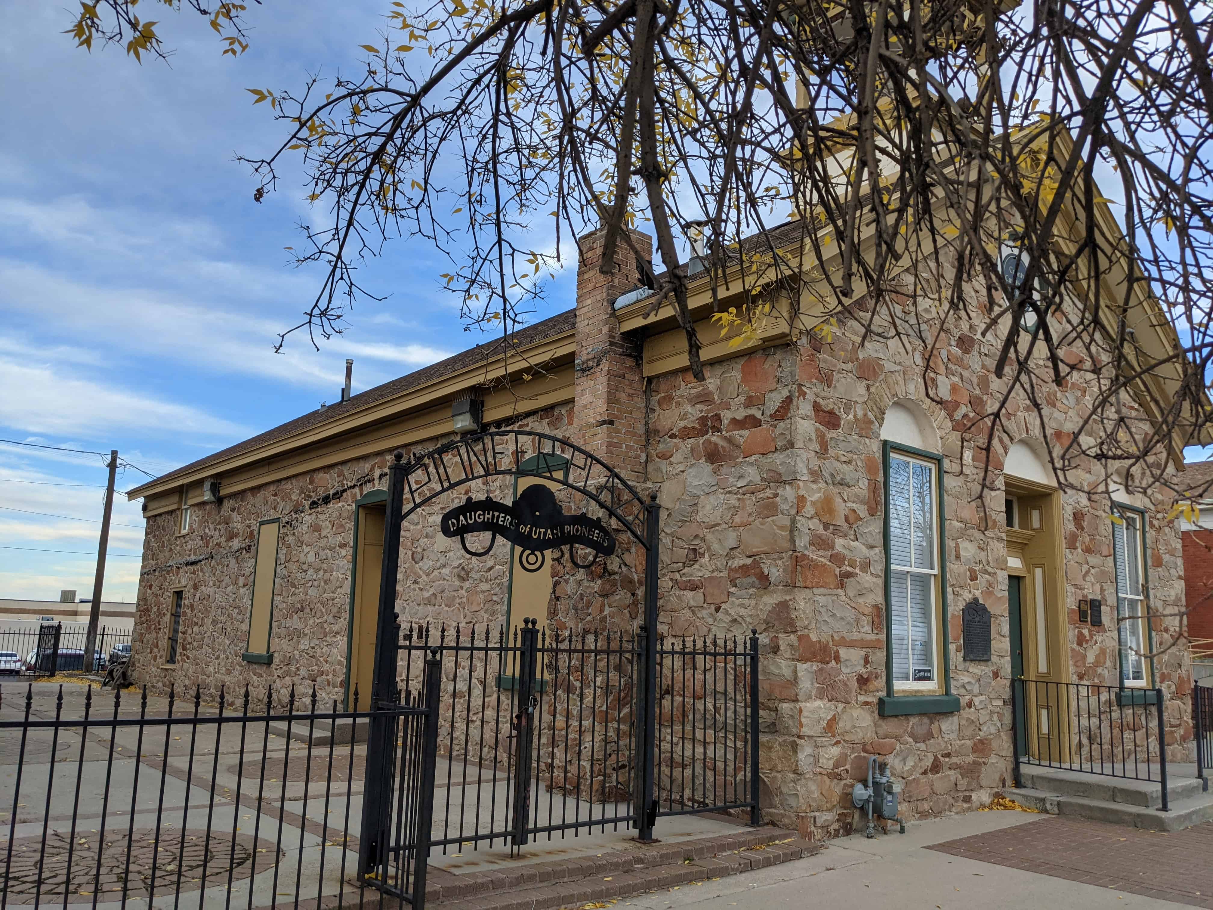
By 1970 the price of lead was 14tf per pound while it cost the International Smelting and Refining smelter 18tf per pound to produce lead. About this time the Environmental Protection Agency was also requiring installation of pollution control devices. Faced with increased production costs and decreasing prices, it was decided that the smelter would be shut down. This was Utah’s last copper-lead and zinc smelter. In 1972 the smelter was dismantled. Without the International Smelting and Refining smelter operating, ore concentrates were trucked to the Union Pacific Railroad for shipment to Japan where they would be smelted. This action made the Tooele Valley Railroad unnecessary. After over sixty years of operation the railroad was abandoned and the tracks, except those near the depot, were torn up. The depot currently houses the Tooele County Museum run by the Settlement Canyon Chapter of the Sons of Utah Pioneers.
———-
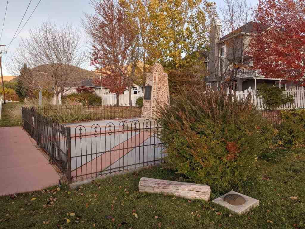
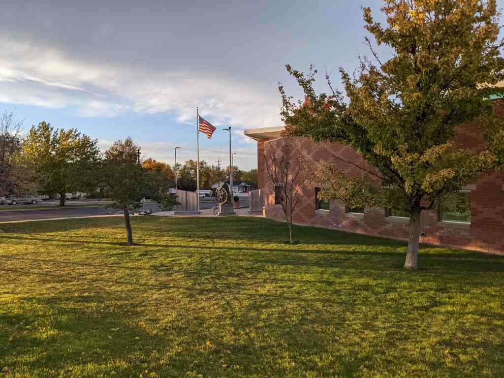
The Tooele Valley Railroad Complex appears very much the way it did at the time of its construction in 1909. A chain link fence currently surrounds the 2.10 acre parcel of land which includes the buildings and some of the railroad cars which served as the vital elements on the railroad’s operations. The property includes the depot, the section head’s house, a frame maintenance shed, and four railroad cars. Also included on the property are two out-of-period outbuildings and three ineligible railroad cars which were not part of the railroad’s operation.
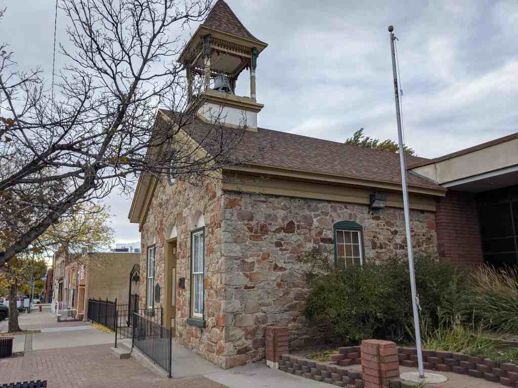
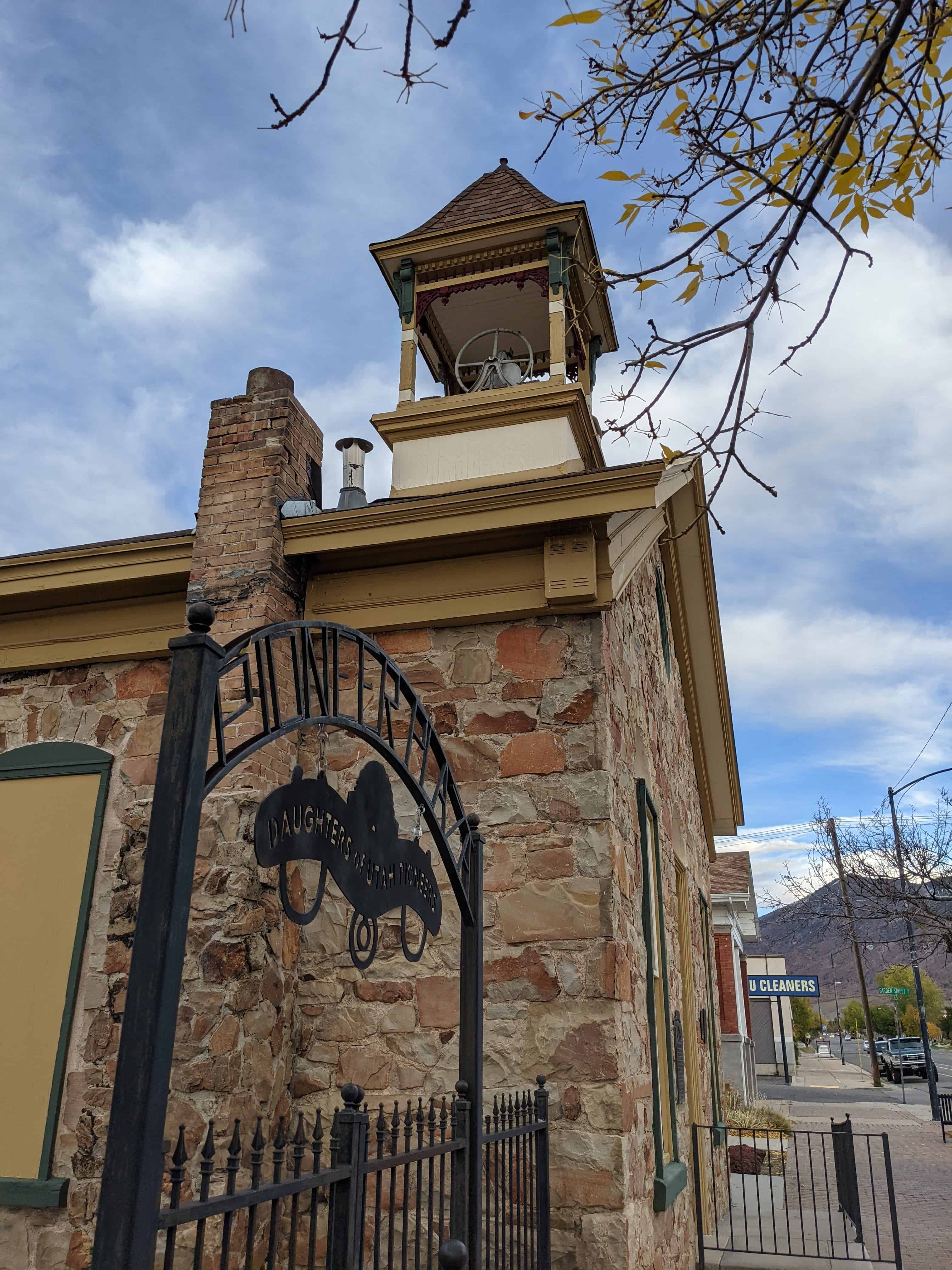
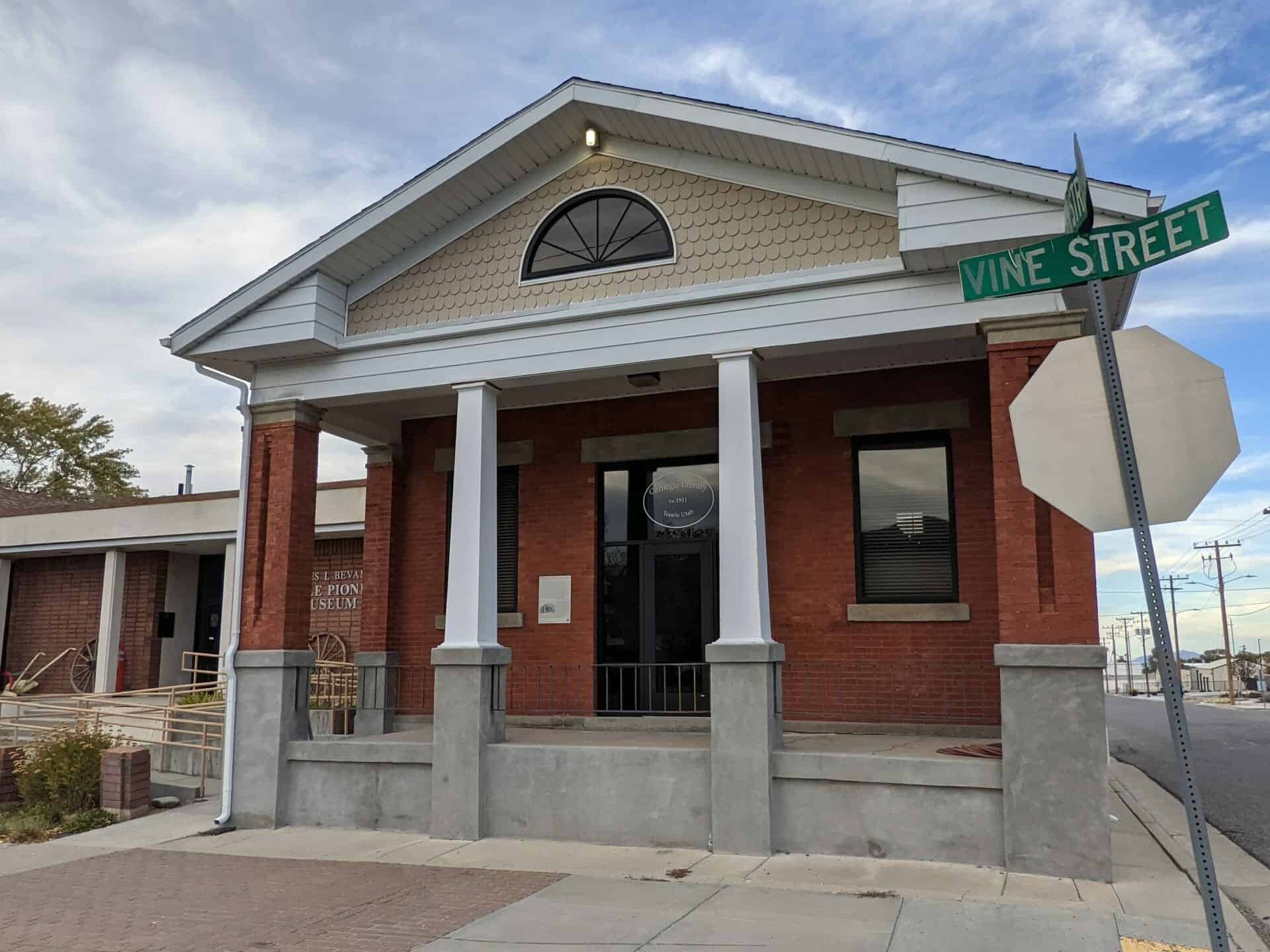
The Tooele Valley Railroad depot, built in 1909, is a one-story brick building on a raised concrete foundation. It is a rectangular building measuring 61′ 4″ by 31′ 3″ on the outside. It is surrounded on the east, north, and south sides by a wooden dock approximately 4 feet high and 8 feet wide. On the south side of the building is a three part bay window, which was used as the work location of the telegrapher. The roof is a gablet roof with overhanging eaves. The detailing of the building is very simple. The windows are two-paned, long and narrow and double hung. They are topped by two rows of radiating arched brickwork while the two doorways are topped by large square transoms. On the west and south sides of the building are two large freight doorways. The building is in good condition. It is unaltered and appears as it did at the time of construction in 1909.
The section head’s house is a 1 1/2 story frame house with a gable roof and horizontal lap siding. A full-width porch spans the gable-end east facade, and a smaller porch is attached on the southwest rear corner of the house. Other features of the house include a central, ridgeline chimney, two-over-two double hung windows, a concrete foundation, and a rear shed extension, possibly original. The house appears to be in a virtually unaltered condition.
The maintenance shed is a one-story frame building with a gable roof and horizontal lap siding. The broad, gable end east facade features returns on the eaves and two openings, a doorway and a window, arranged symmetrically. The building is in good condition and appears to be unaltered.
he four eligible railroad cars include two cabooses, a coal car, and a locomotive which was built c. 1905 and acquired by the Tooele Valley Railroad around 1909.
The complex is currently being used as a museum by the Settlement Canyon Chapter of the Sons of Utah Pioneers.
Commencing at the Northwest corner of the Vine Street and Broadway Avenue intersection, thence North 216 feet, West 423 feet, South 216 feet, and East 423 feet to beginning. This parcel of land was chosen because:
1) it is visually well defined by the fence surroumng it;
2) it is part of the original railroad headquarters property; and
3) it includes all of the resources identified in this nomination.
This 2.10 acre parcel is only part of the overall 3.42 acre parcel of land as legally defined in the county property records. The additional acreage comprises a narrow unfenced piece of land extending to the west of the 2.10 acre parcel, paralleling and including the old railroad grade. The legal description for the overall 3.42 acre parcel of land is as follows:
Beginning South 2031.8 feet and West 1275.4 feet from the Northeast corner of the Northwest quarter of Section 27, Township 3 South, Range 4 West, Salt Lake Base and Meridian on the West line of Broadway Street; thence South 216.58 feet to the Southeast corner of Block 153 of Plat C and the North line Vine Street; thence West 280 feet to the Southwest corner of said Block 153 and the East line of 3rd Street; thence North 13.91 feet; thence North 80 degrees 32 minutes West 143.17 feet; thence North 38.27 feet to the South line of the Tooele Valley Railroad Southerly line; thence South 81 degrees 59 minutes West 379.11 feet to the North line of said Vine Street; thence West 206.42 feet along the North line of said Vine Street to the East line of 1st Street; thence North 83 feet to the South line of Lot 4 of Block 142, Plat C; thence North 81 degrees 59 minutes East 587.87 feet to a point South 2094.41 feet and West 1698.56 feet from said Northeast corner of the Northwest quarter of Section 27; thence North 66.75 feet; thence South 89 degrees 28 minutes East 423.18 feet to the point of beginning. Being situate within Blocks 142, 154, and 153 of Plat C, Tooele City Survey, Tooele City and said Section 27, Township 3 South, Range 4 West, SLB&M.