• About JacobBarlow.com
  • Cemeteries in Utah
  • D.U.P. Markers
  • Doors
  • Exploring Utah Email List
  • Geocaching
  • Historic Marker Map
  • Links
  • Movie/TV Show Filming Locations
  • Oldest in Utah
  • Other Travels
  • Photos Then and Now
  • S.U.P. Markers
  • U.P.T.L.A. Markers
  • Utah Cities and Places.
  • Utah Homes for Sale
  • Utah Treasure Hunt

JacobBarlow.com

~ Exploring with Jacob Barlow

JacobBarlow.com

Tag Archives: Moab

Pinhook, Utah

03 Tuesday May 2016

Posted by Jacob Barlow in Uncategorized

≈ 1 Comment

Tags

Castle Valley, Grand County, Moab, Pinhook, utah, Wilson Mesa

East from Moab, on Wilson Mesa in the La Sal Mountains, was the little village called Mesa. The Town of Pinhook, also in the La Sal Mountains, was a tent village. On June 15, 1881 a bloody battle was fought between the village and a hostile band of Indians. Eight white men were buried at the site in 1 large grave. A historical marker has been erected on this spot.

Wilson Mesa, also known as simply Mesa, was located on the western slope of the La Sal Mountains. It actually consisted of two mesas, North Mesa and South Mesa, which were separated by a small canyon called Left Hand. These mesas, which still contain ranches, are accessible from the present-day La Sal Mountain Loop Road. Wilson Mesa was first settled by Joseph Burkholder and Herbert Day in 1891. Other early settlers included the Shafers, the Johnsons, the Diffendorfs, and the Fillmores. Wilson Mesa took its name from cattleman A.G. Wilson, who grazed about 500 cattle in Spanish Valley, the Sand Flats, and on the mesa itself. A post office existed in Mesa from 1907 to 1923. One notable accomplishment by Mesa settlers was the construction of an impressive tramway to lower 1,200 pounds of produce at a time from South Mesa to the Mill Creek area some 2,000 vertical feet below. The Murphy brothers built the tram around 1916. Supplies could also be hoisted up the tramway, provided that the down-going load was heavier.

Historic Marker:
In memory of those who were massacred by Indians June 15, 1881, buried here

  • L.E. Wilson
  • A.R. Wilson
  • H. Tarter
  • W. Tarter
  • J. Heaton
  • G. Taylor
  • T. Glick
  • J. Galloway

Erected 1940 by Grand Co.(*)

History on the Pinhook Draw Fight: http://digitallibrary.utah.gov/awweb/awarchive?type=file&item=34837

Pinhook Battleground

The Pinhook Battleground Site on the Manti-La Sal National Forest encompasses an 80-acre area and features a 20-foot square plot, which is the location of the common grave of eight men who were killed in the Pinhook confrontation. The Pinhook Battle, one of the largest and bloodiest battles between Anglo Americans and American Indians to occur in southeastern Utah, took place in 1881. The fight resulted in the death of eight Colorado posse members, two Moab cattlemen, and an unknown number of American Indians. The dispute was fueled by competition over the land and resources of southeastern Utah and southwestern Colorado. The National Register nomination and early commemoration efforts of the site were udnertaken by the Moab Lions Club.

Ken’s Lake

25 Monday Apr 2016

Posted by Jacob Barlow in Uncategorized

≈ 2 Comments

Tags

Grand County, Kens Lake, Moab

2018-03-28 12.56.25

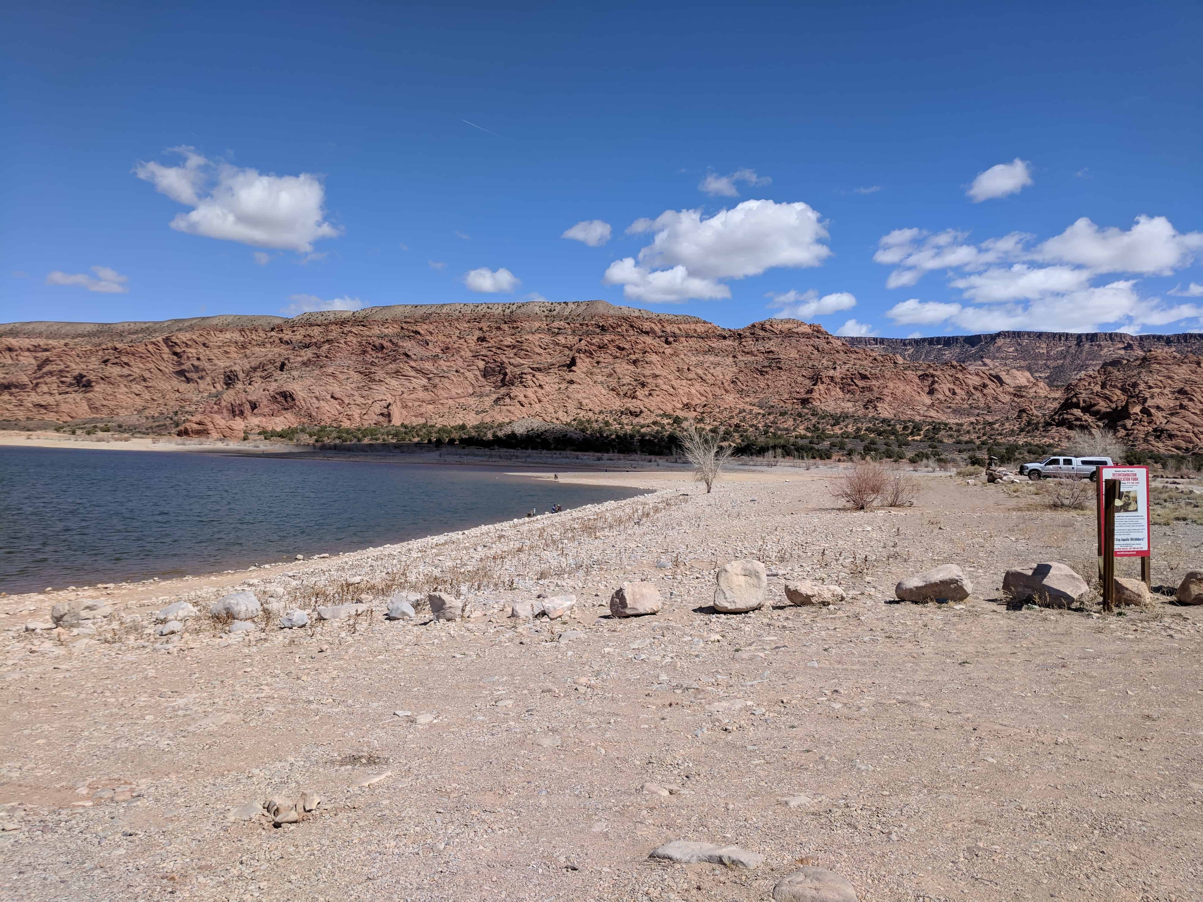
Ken’s Lake is located 10 miles south of Moab. The campground accommodates even the largest motorhomes. Hiking and horseback trails originate at the campground. Fishing in the reservoir is a popular activity. Boating on the reservoir is limited to non-motorized craft. The views from the campground feature the La Sal Mountains and the redrock fins surrounding Moab.
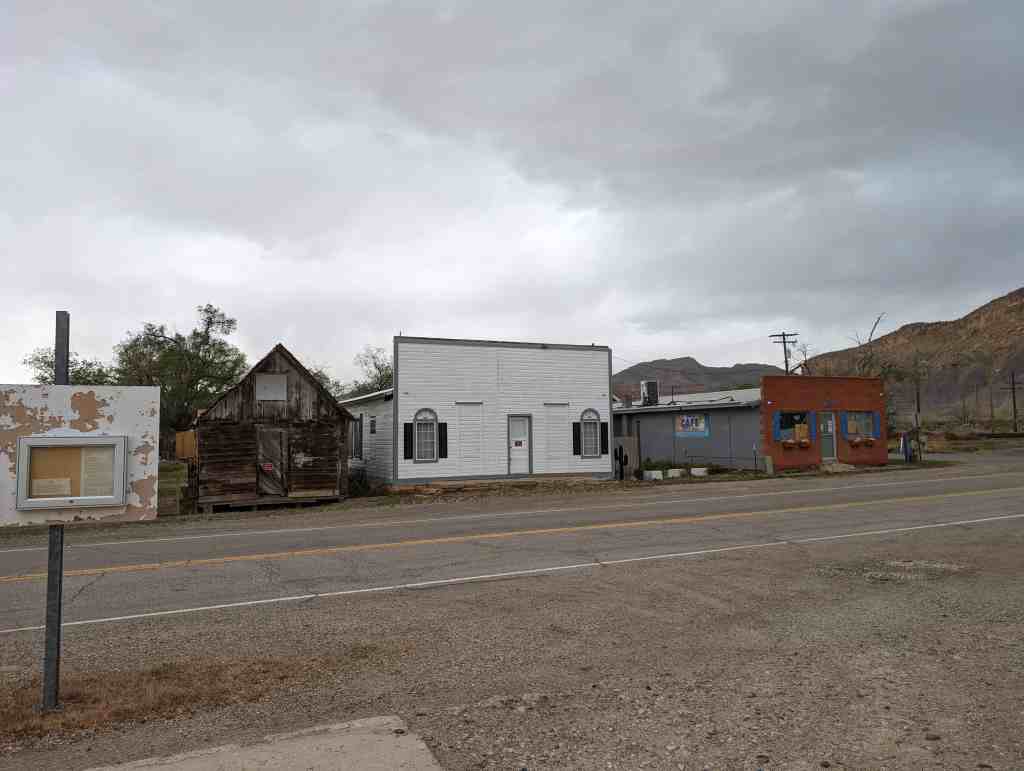
Campgrounds have picnic tables, vault toilets, grills, graveled roads, and trash receptacles.  There is no drinking water at the campground.
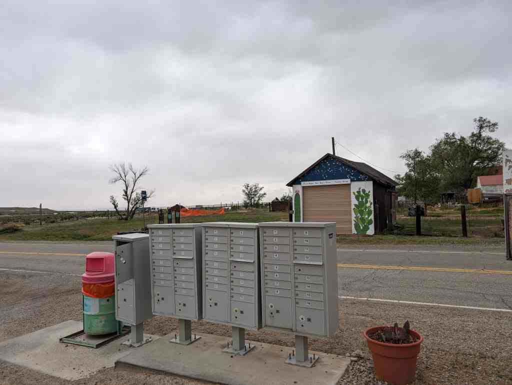
Campsites are available on a first-come, first served basis.

Camping at all sites is limited to 14 days within a 30 day period.

2018-03-28 12.56.27

2018-03-28 12.59.04

2018-03-28 12.56.50

2018-03-28 12.56.55

Plainsfield, Utah

25 Monday Apr 2016

Posted by Jacob Barlow in Uncategorized

≈ 1 Comment

Tags

Grand County, Moab, utah

Plainsfield was located just south of the Grand-San Juan County line in the “Poverty Flats” area of southern Spanish Valley, somewhere near or in between the Old Airport hanger and Ken’s Lake. Virtually no evidence remains of the town’s existence. One of its earliest residents was noted pioneer John Henry Shafer, who settled the Plainsfield area in 1878 along with fellow rancher C.M. Van Buren. A petition for a post office was granted in 1879, but was discontinued the following year. Problems with hostile Native Americans caused the first Plainsfield settlers to close the fort and move closer to town. However, in 1883, four other families (Somerville, McConkie, Newell, and Johnson) moved from elsewhere in San Juan County to the Plainsfield area. Jennie Somerville, daughter of Mr. and Mrs. Andrew Somerville, was reportedly the first baby ever born in the fledgling community. Throughout the 1880s, school was taught and LDS church meetings were held at the McConkie home in Plainsfield. Because water was scarce, Plainsfield residents had to go down the valley three or four miles to the Boren Ranch (now the George White Ranch) to obtain drinking water from the springs. By the early 1900s, however, Plainsfield was nothing more than a memory.(Thanks for moabhappenings)


Castleton, Utah

08 Friday Apr 2016

Posted by Jacob Barlow in Uncategorized

≈ 2 Comments

Tags

Castle Valley, Castleton, Ghost Towns, Grand County, historic, Miners Basin, Moab, utah

Castleton was a bustling mining supply center located not far from the present day town of Castle Valley. It was reportedly first settled by Doby Brown, a prospector, in the early 1880s. A post office was established in Castleton in 1882, and numerous other buildings soon followed. Castleton not only boomed along with Miner’s Basin, it also died along with it when the mines closed in 1907. Today, the remains of Castleton can be seen some 10 miles southeast of the Castle Valley turnoff of state highway 128.(*)

At its peak in 1895, the population exceeded that of Moab. In fact, when Grand County was organized in 1890, Castleton vied with Moab for the chance to be county seat.

Miners Basin

07 Thursday Apr 2016

Posted by Jacob Barlow in Uncategorized

≈ 1 Comment

Tags

Ghost Towns, Grand County, historic, Mining, Moab, utah

Miners Basin, also known as simply Basin, was a mining town at over 10,000 feet elevation on Mt. Waas in the La Sal Mountains. With a peak population of about 75 or 80, the town flourished for about 20 years after gold was discovered there in the late 1880s. The first claims were staked in the area around 1888, and a formal mining district was organized 10 years later. Silver and copper were also mined in limited quantities, in addition to gold. At its heyday, the town boasted a hotel, a store, two restaurants, a blacksmith shop, a post office, and two saloons. However, the mines were closed in 1907 as a result of a nationwide financial panic, and the town died shortly thereafter. Even so, a few diehard miners remained on the mountain for decades afterward. A few log cabins and other structures still remain in the area.(*)

Moab, Utah

05 Tuesday Jan 2016

Posted by Jacob Barlow in Uncategorized

≈ 8 Comments

Tags

Grand County, Moab, utah

picture24jul07-042

Moab Posts:

  • Amasa Back Trailhead
  • The Apache Motel
  • Arthur Taylor House / Moab Springs Ranch
  • Base Jumping in Moab
  • Birthing Panel
  • Castleton
  • Crescent Junction
  • Elk Mountain Mission
  • Fisher Towers
  • John Henry Shafer House
  • Kane Springs Canyon
  • Ken’s Lake
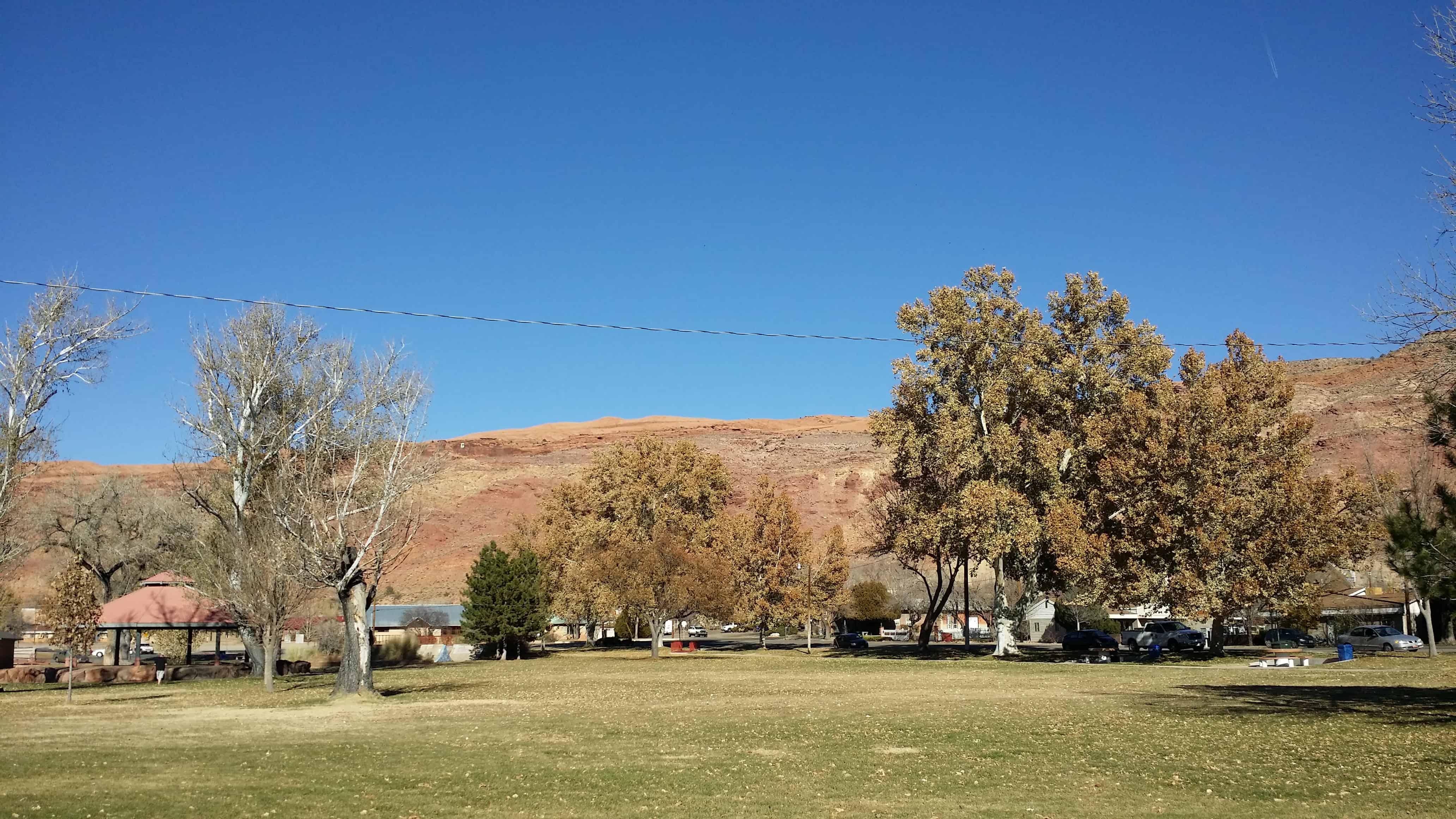
  • Lion’s Park
  • Miners Basin
  • Moab Cabin
  • Moab Giants
  • Moab L.D.S. Church – Early L.D.S. Church
  • Moab’s Sand Hill
  • Monitor and Merrimac
  • Moonflower Panel at the mouth of Moonflower Canyon
  • The Old City Park
  • Pinhook
  • Plainsfield
  • Richardson
  • The Spanish Trail
  • Star Hall
  • Valley City
  • Moab posts sorted by address

During the period between 1829 and the early 1850s, the area around what is now Moab served as the Colorado River crossing along the Old Spanish Trail. Latter-day Saint settlers attempted to establish a trading fort at the river crossing called “Elk Mountain Mission” in April 1855 to trade with travelers attempting to cross the river. Forty men were called on this mission. There were repeated Indian attacks, including one on September 23, 1855 in which James Hunt, companion to Peter Stubbs, was shot and killed by a Native American. After this last attack, the fort was abandoned. A new round of settlers established a permanent settlement in 1878. Moab was incorporated as a town on December 20, 1902.

picture24jul07-043
IMG_20140717_095725

Arches National Park

06 Thursday Aug 2015

Posted by Jacob Barlow in Uncategorized

≈ 2 Comments

Tags

Arches National Park, Grand County, Moab, National Parks, utah

IMG_20140717_090819

Photos from a hiking trip to Arches National Park with Olga Zubova de Rubio and Chris Mosbacker, we drove down from Salt Lake, hiked all the trails and drove back all in one day.

picture12oct08-030
picture12oct08-031
picture12oct08-032
picture12oct08-033
picture12oct08-034
picture12oct08-035
picture12oct08-036
picture12oct08-037
picture12oct08-038
picture12oct08-039
picture12oct08-040
picture12oct08-041
picture12oct08-042
picture12oct08-043
picture12oct08-044
picture12oct08-045
picture12oct08-046
picture12oct08-047
picture12oct08-048
picture12oct08-049
picture12oct08-050
picture12oct08-051
picture12oct08-052
picture12oct08-053
picture12oct08-054
picture12oct08-055
picture12oct08-056
picture12oct08-057
picture12oct08-058
picture12oct08-059
picture12oct08-060
picture12oct08-062
picture12oct08-063
picture12oct08-064
picture12oct08-065
picture12oct08-066
picture12oct08-067
picture12oct08-068
picture12oct08-069
picture12oct08-070
picture12oct08-071
picture12oct08-072
picture12oct08-073
picture12oct08-074
picture12oct08-075
picture12oct08-076
picture12oct08-077
picture12oct08-078

Monitor and Merrimac

18 Saturday Apr 2015

Posted by Jacob Barlow in Uncategorized

≈ 1 Comment

Tags

Geological, Grand County, Moab, utah

  • The Monitor and Merrimac Buttes
    The Monitor and Merrimac Buttes

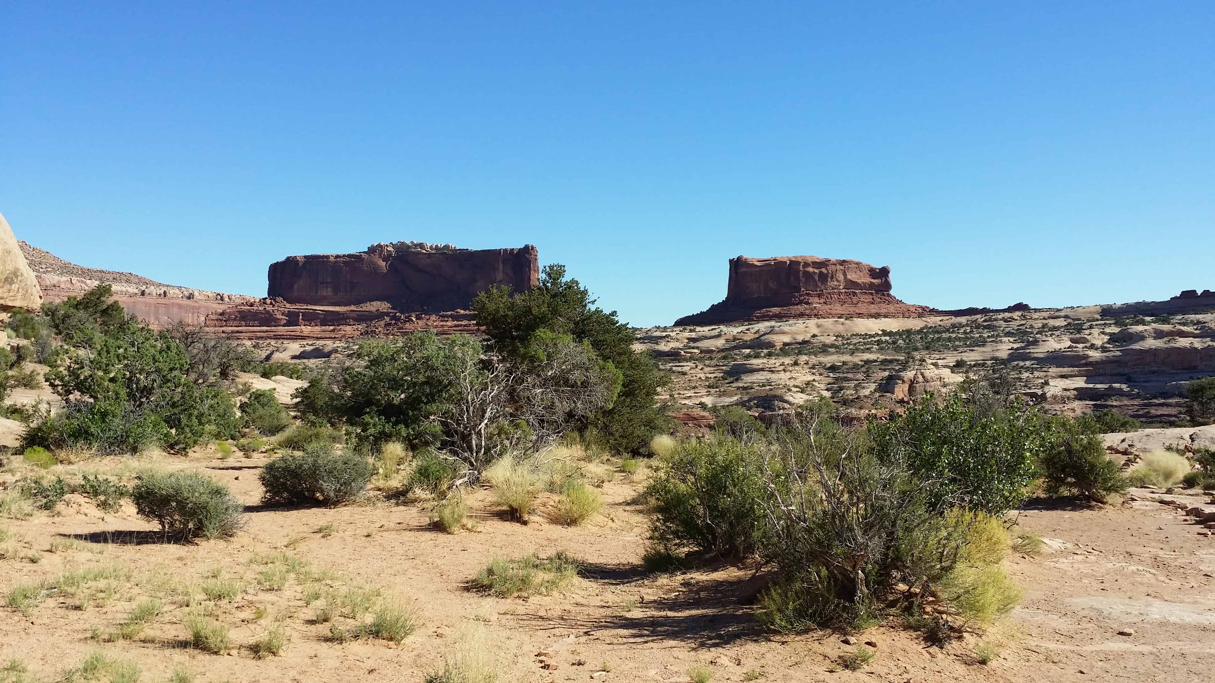
From here you have an excellent view of the Monitor and Merrimac Buttes to the northeast. These prominent land forms tower 600 feet above their Navajo sandstone base. They can be seen from many points as you travel along the highway.

The Monitor and Merrimac Buttes were named after the Civil War ironclad ships of the same names. If you look at a likeness of the old ships, their shapes bear a striking resemblance to these two buttes. The Merrimac (the large rock on your left) was the Confederate ship, called the “Virginia” by the southern forces. The Monitor (on the right) was the Union ship sent to destroy the Merrimac. The resulting sea battle changed maritime warfare forever. Long after both ships lie on the sea bottom, their rock counterparts remain locked in perpetual battle.

The Monitor and Merrimac Buttes are composed of Entrada sandstone. (This is the same rock layer that forms many of the arches in Arches National Park.) This Entrada sandstone is composed of three “members,” or components — Dewey Bridge, Slickrock and Moab Tongue. The different “members” of the Entrada layer erode at varying rates. Specifically, the softer Dewey Bridge member erodes more quickly, causing the Slickrock cliffs to collapse. This process has created the Monitor and Merrimac Buttes, as well as other towering monoliths in the area.

Geological forces have created the stunning landforms that we enjoy today.

  • 2014-06-28 09.02.35
  • 2014-06-28 09.02.43

Thompson Springs, Utah

02 Tuesday Dec 2014

Posted by Jacob Barlow in Uncategorized

≈ Leave a comment

Tags

Floy, Grand County, Green River, Moab, Thompson, Thompson Springs, utah

Related:

  • Thompson Wash Rock Art / Sego Canyon Rock Art

75171bfd-6834-4bbc-8920-5f766ec9648e

The Spanish Trail

10 Tuesday Jun 2014

Posted by Jacob Barlow in Uncategorized

≈ 3 Comments

Tags

DUP, historic, Moab, San Juan County, utah

picture24jul07-046

The Spanish Trail

Kane Springs, San Juan County, was a major water stop along the historic Spanish Trail, in use from 1829 to 1848. Large trade caravans halted here and drank from the abundant spring waters. In autumn months, pack trains carried woolen textiles and raw wool over the trail from the settlements on the upper Rio Grande to the coastal towns of California. On reaching California, wool merchants exchanged their goods for horses and mules, which were driven back to New Mexico the following spring. It took trail riders over two months to complete the journey.

The 1,120-mile route, from Santa Fe, New Mexico, to Los Angeles, California, followed a northward looping course that passed through the rugged southern and central landscapes of Utah. This trail avoided the deep canyons of the Colorado River and the hostile Indians of Arizona.

In 1848, at the end of the Mexican war, the territory encompassing the Spanish Trail became part of the United States. Thereafter, caravan traffic followed direct east-west lines. In the post-trail period, the waters of Kane Springs refreshed weary travelers, cattle drovers, pioneer settlers, and outlaws.

Daughters of Utah Pioneers historic marker #487, located at the Kane Springs Rest Area on Highway 191 in Grand County, Utah.

  • D.U.P. Historic Markers
← Older posts
Newer posts →

Follow Jacob

Follow Jacob

Come wander with me on Youtube.

Blog Stats

  • 2,179,292 hits

Social and Other Links

BarlowLinks.com

Recent Posts

  • Border Crossings
  • First Settlers in Roy
  • First Post Office in Roy
  • Sly Park
  • James Calvin Sly Sr.

Archives

Loading Comments...