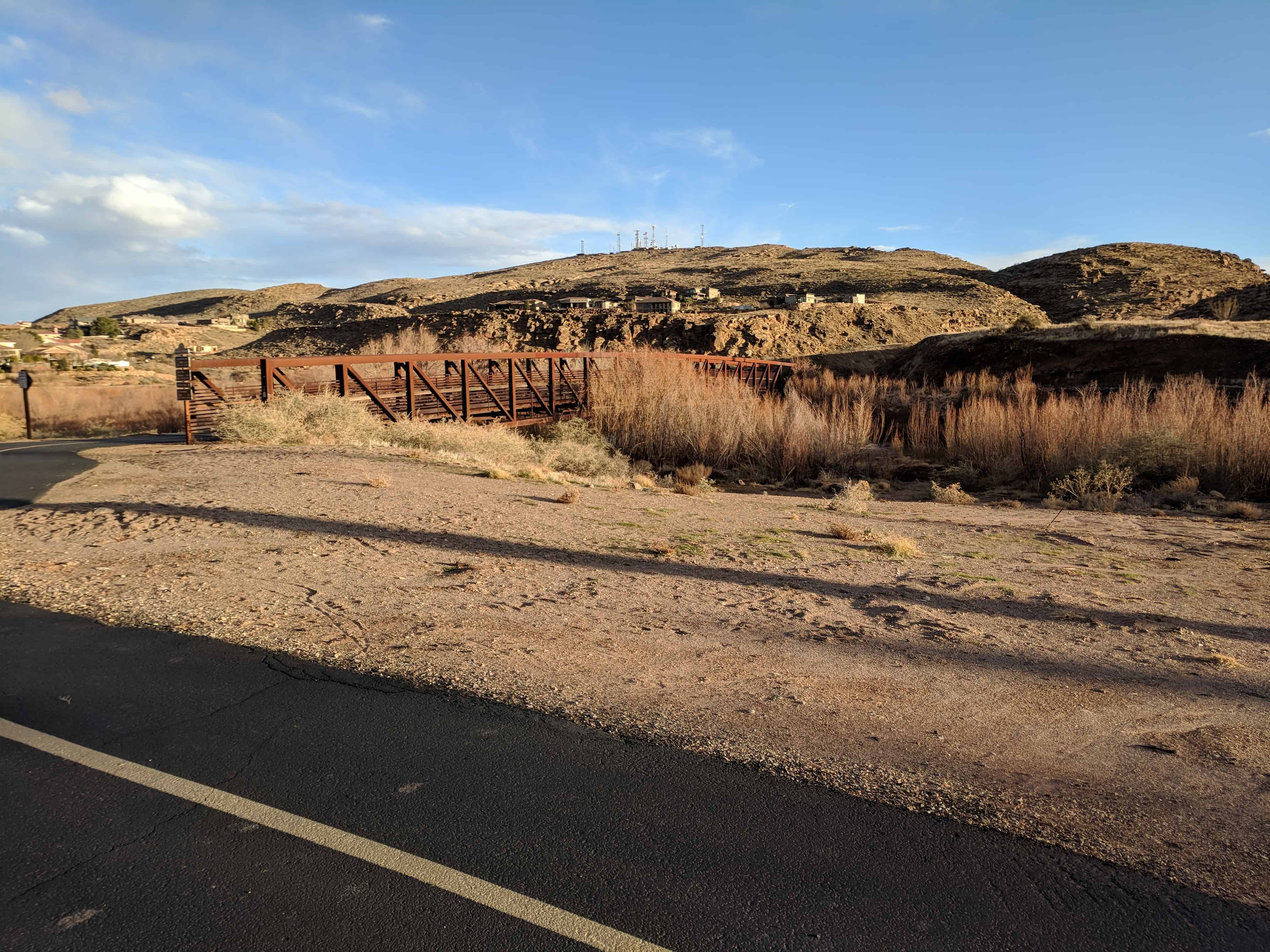
Monument to the flood of 2005
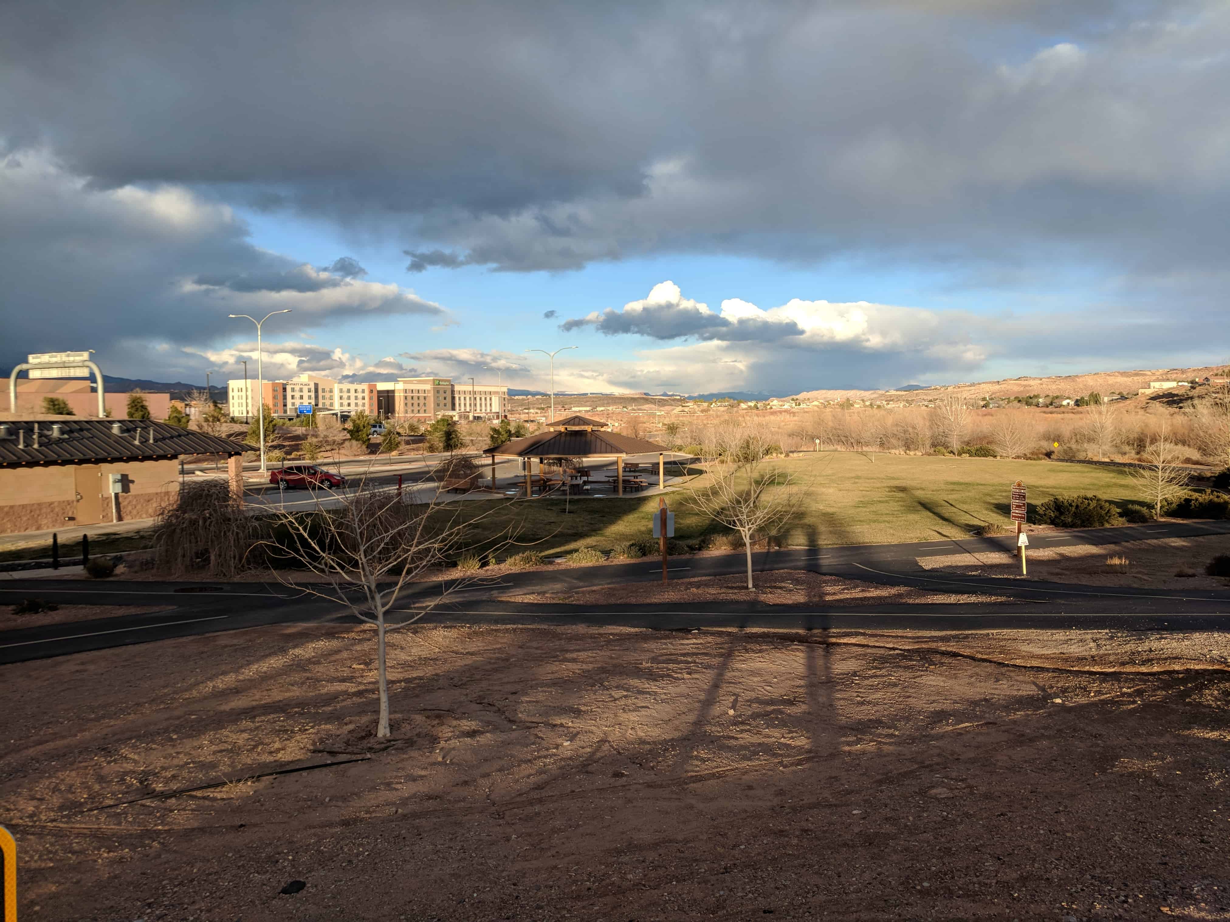
This is a historic marker located in Crosby Family Confluence Park in St. George, Utah.
Warm rain on recently-fallen snow in areas destroyed by wildfires during the summer of 2004 contributed greatly to the flood of January, 2005, which occurred along the Virgin and Santa Clara Rivers. Along with sever bridges in the area such as this bridge, many people lost their homes and belongings. The cost of this flood was great and extremely devastating to many family who lost everything. But the compassion that was shown that winter by the people of Saint George was something to be remembered.
This monument is dedicated to the shoes who lost so much and to those who gave much as well – families helping families, neighbors helping neighbors, and strangers helping stranger. To all who remember this flood or were in any way involved in it, we will not soon forget.
History of the Main Street Bridge
This bridge was original placed across the Ash Creek at the base of the black ridge on the old Arrowhead Trail. In 1942 Washington County decided to move this abandoned bridge ant place it at the end of Main Street in order to provide another access to Bloomington. At that time Interstate 15 was nonexistent and the south end of Main Street went up to this point where the Virgin and Santa Clara Rivers meet.
Elton McArther later know as “Weldin’ Eldon” has not yes finished welding classes when he was asked by Washington County to provide welding serviced. Washington County rented a welding machine from Ashby-McQuaid, an auto repair shop here in Saint Gerge, and along with Eldon’s Older brother Rex, they put together and welded the supporting members of this bridge.
Due to the war effort, it was difficult to find metal, but after several days the laborious task was finished. This bridge would then be used for the next 63 years as an additional access to Bloomington and as part of the bike trail until the flood in January 0f 2005 when it was ripped apart and washed away. This steel truss is all that remains today.
The Last Man Standing on the Main Street Bridge
On Tuesday, January 11th, during the flood of 2005, a citizen called the police and said that this bridge was shaking and that it might collapse. Fortunately, Captain Lorin Johnson was close by. He drove over to the bridge as he spoke with the gentleman who called the police he could see the bridge sinking slowly and the concrete start to crack. Carly, he told everyone to get off the bridge. People came from both directions of the bike trail to see what was happening and Captain Johnson kept them from coming too close. Very quickly the west side collapsed. The steel screamed as it bent. Rivets popped and the bridge dropped three or four feet into the water. The north side of the bridge disconnected, and as the river pulled it downstream, it broke in two. Had of the bridge floated down the river, and the other half wrapped around itself to the south bank. A small part of the bridge was left, including the steel girder you see before you. Thanks to Captain Johnson citizens were spared injury that day.