Tags
Art, Salt Lake County, Statues, UTA Stops, UTA Trax, utah, West Valley City

23 Saturday Sep 2023
Posted in Uncategorized
Tags
Art, Salt Lake County, Statues, UTA Stops, UTA Trax, utah, West Valley City
25 Monday Jul 2022
Posted in Uncategorized
Tags
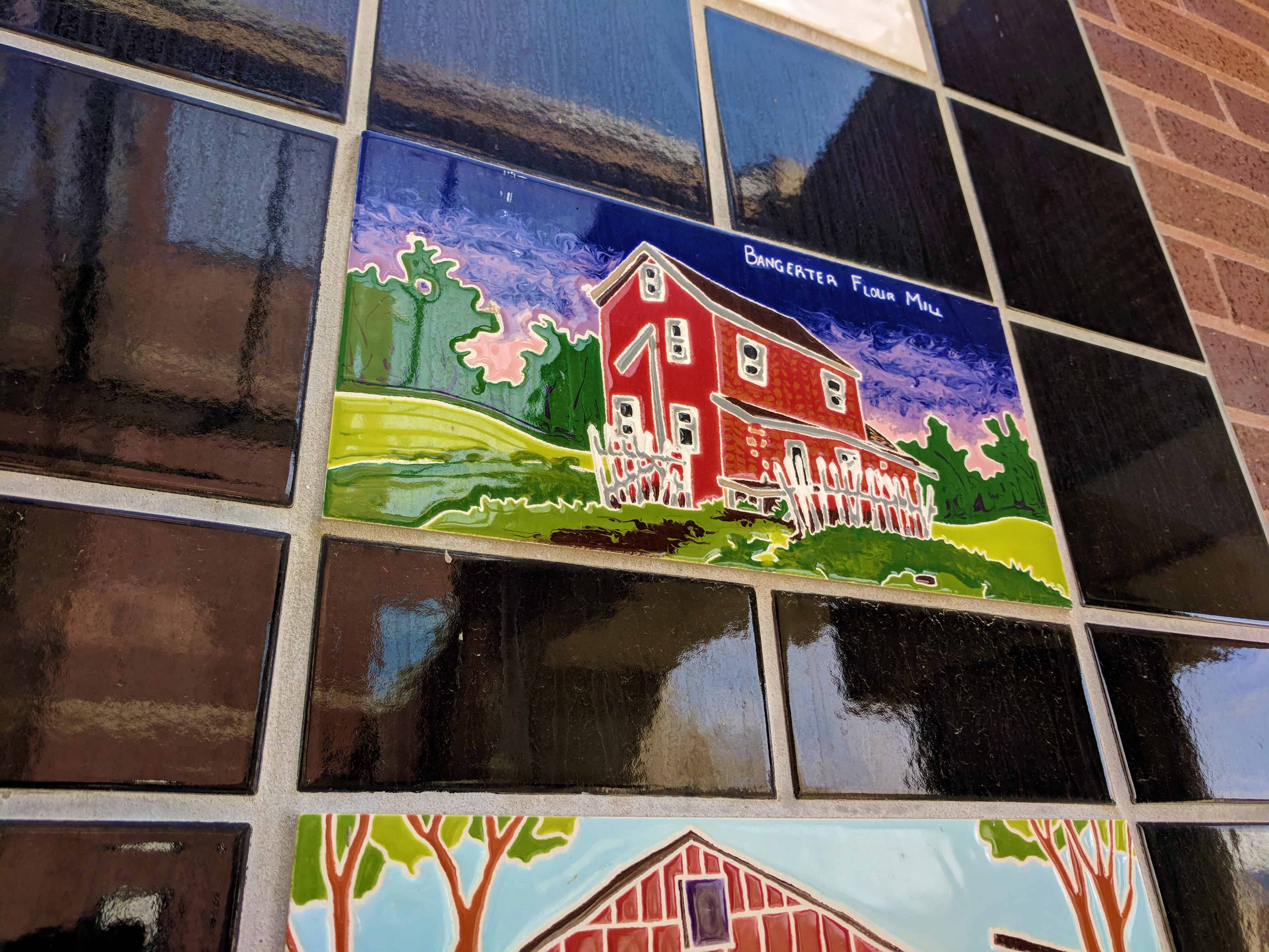
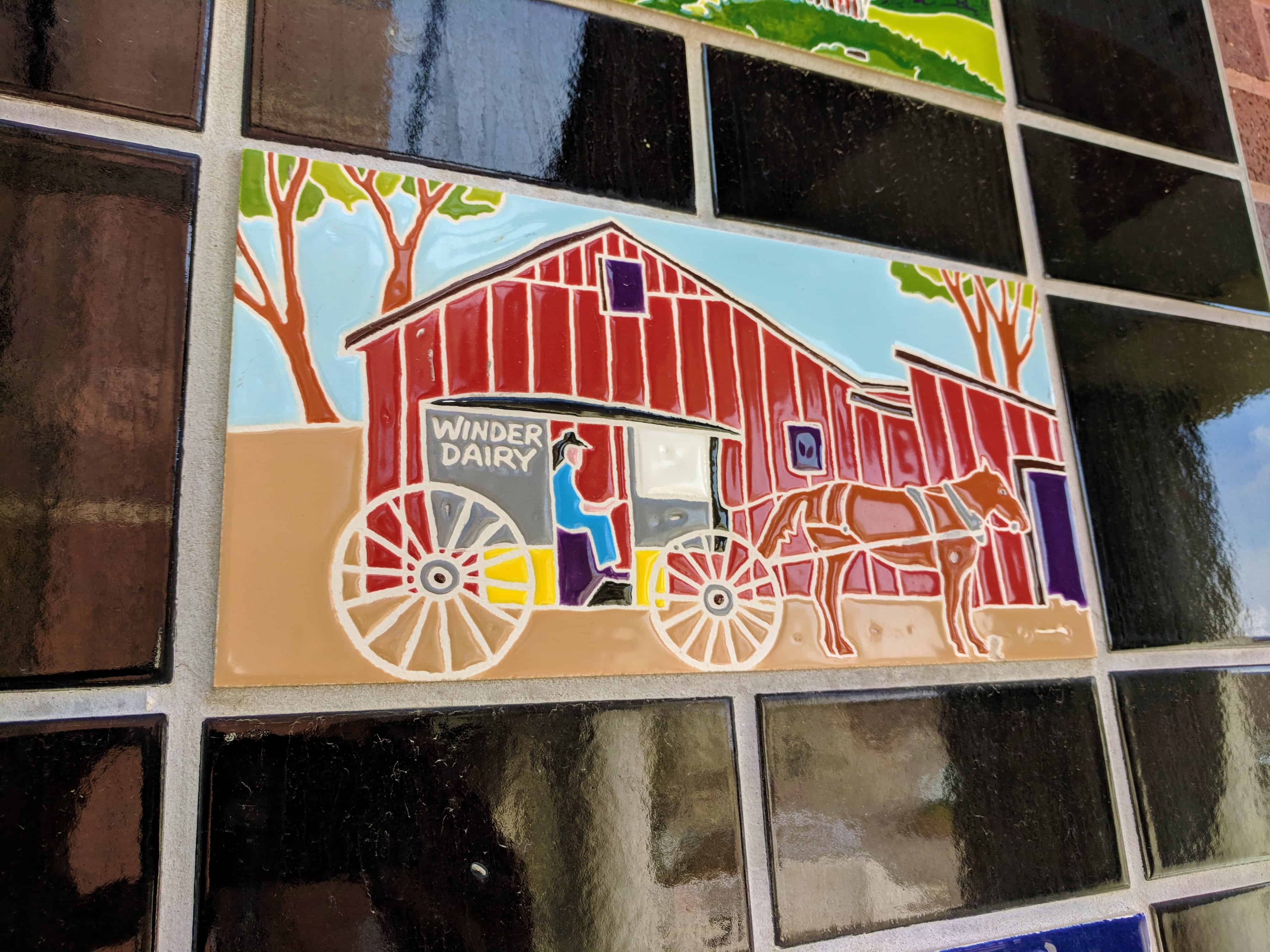
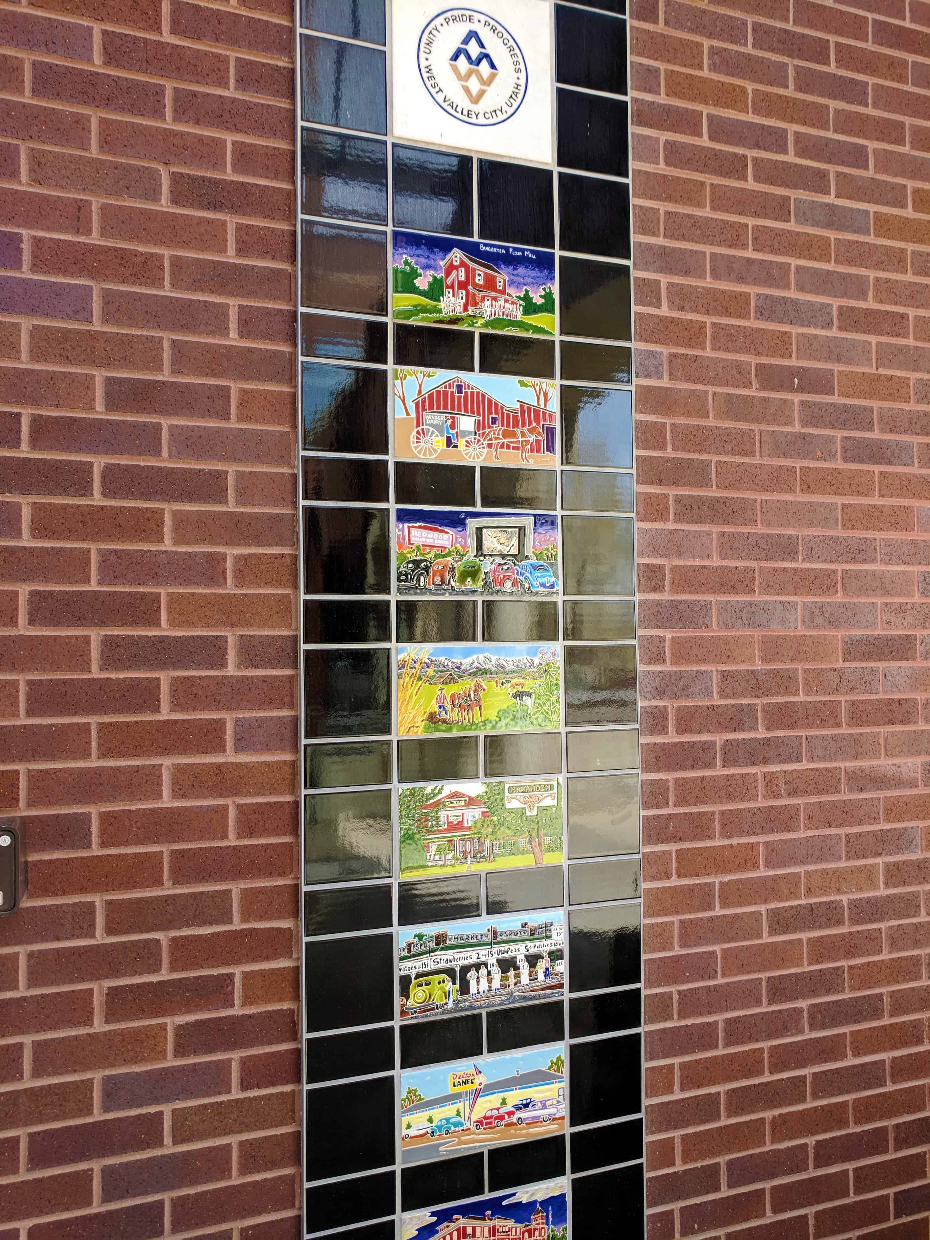
The settlement of the valley west of Salt Lake City was linked to the availability of water. The first settlers to the area came in the fall of 1848. Joseph Harker built a dugout in bluffs along the west bank of the Jordan River at about 3300 South. The following spring, he moved with a dozen other families to the 45th South and Redwood Road area where water was more attainable. Those who followed ranched or farmed along the river bottoms. Acquiring drinking water was a constant concern through the years.
Plans to extend canals from the Jordan River through the dry western two-thirds of the Salt Lake Valley circulated as early as 1860. But those early ventures were stymied by inadequate financing and technical obstacles. In 1872, Salt Lake County began an eight year, $70,000 investment in a series of canals to funnel water to the barren lands. A dam was built at Jordan Narrows, and the South Jordan Canal, excavated between 1870 and 1875, brought the first water to Granger.
The North Jordan Canal was enlarged in 1881 and extended from Gardner’s mill (7800 South) to Granger. Also in 1881, Hunter was provided its first water from Salt Lake County’s longest and largest canal, the Utah and Salt Lake Canal. This canal, 32 miles from Jordan narrows to Magna and 246 cfs, took years to construct. By the turn of the century, the U.S. Census counted 354 residents in Hunter and 617 in Granger (4800 West divided the two districts).
Minor growth followed the canal building, but so did problems. Adding more water to the shallow aquifer caused underground salts and minerals to rise to the surface, forming and alkali crust which was deadly to crops and trees, Between 21st and 27th South, water accumulated into a number of shallow saline lakes which were used for swimming and ice skating. The Riter Canal, first used as a drainage ditch, connects now to the North Jordan Canal at about 3800 South and delivers water to Kennecott Utah Copper Company.
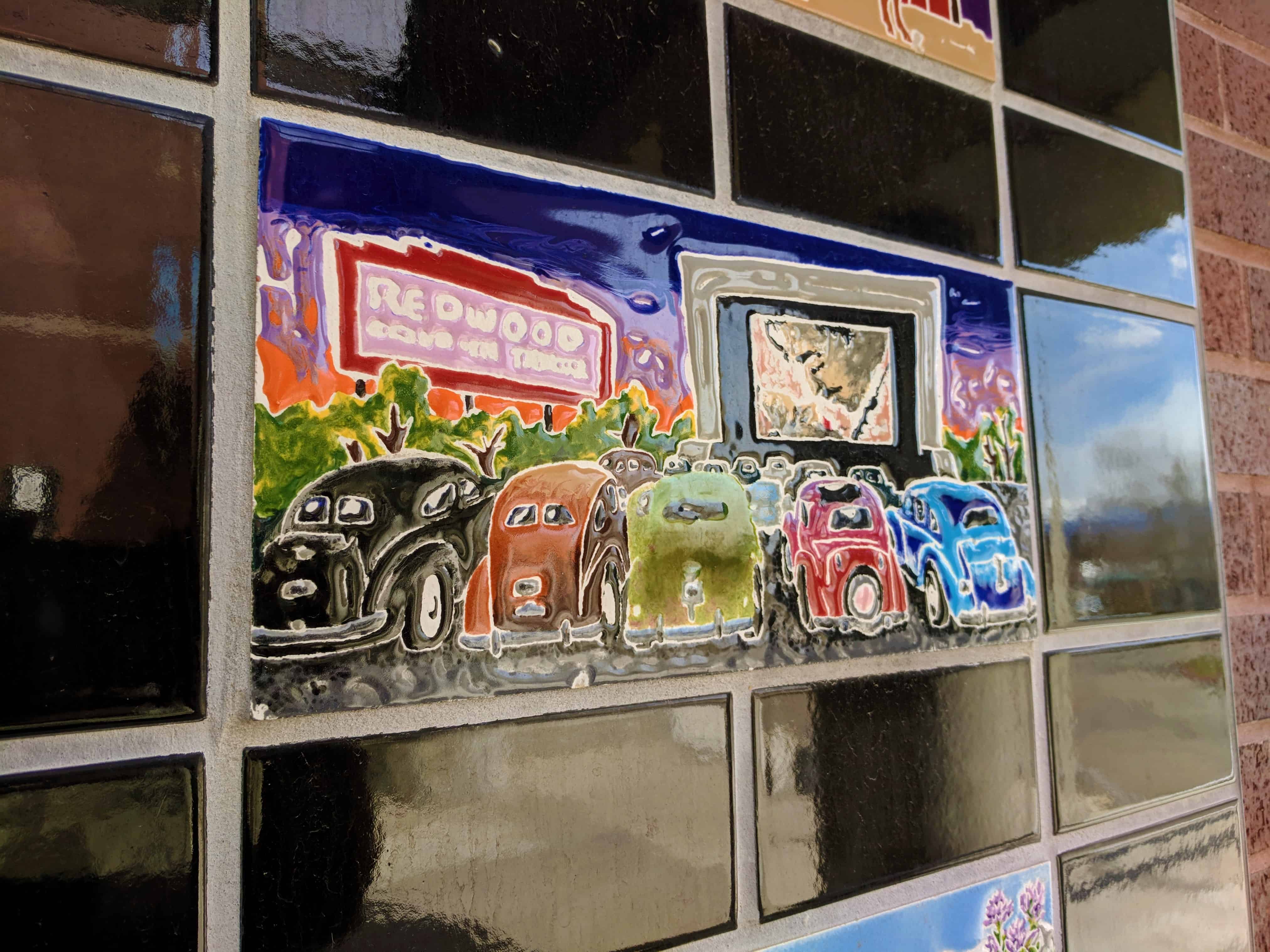
In 1949, the Granger-Hunter Improvement District was established to provide residents with water from Deer Creek Reservoir. Hookups began in 1953, and the area grew as much in 1954 as it had in all the years since the pioneers arrived.
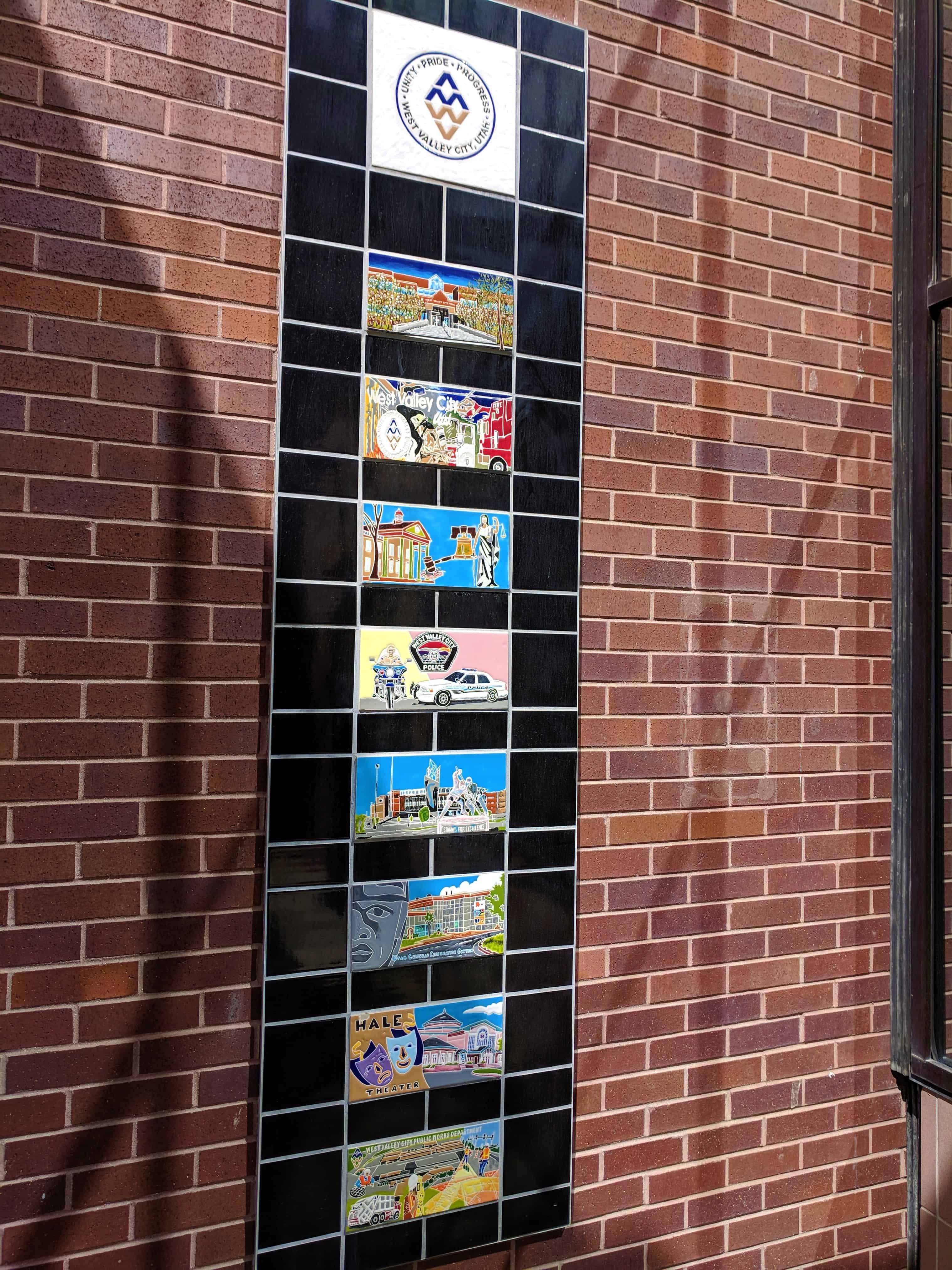
Efforts to incorporate as a new city were defeated in 1978; however, in 1980 West Valley City became Utah’s second largest city.
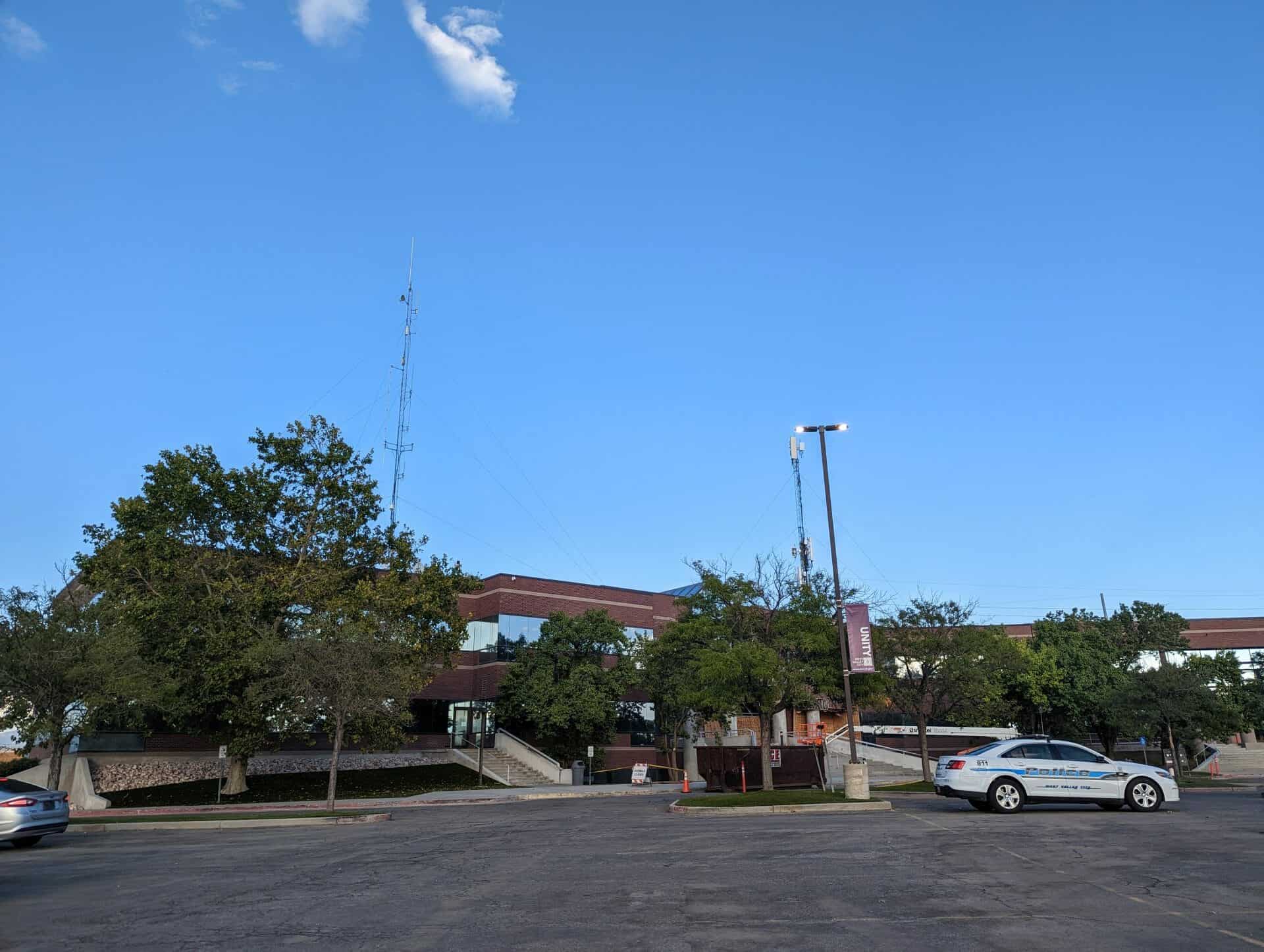
The master list of the S.U.P. Markers has this at N 40.69690 W 111.99980, just outside the West Valley Animal Shelter at West Valley City Park (4522 W 3500 S in West Valley City) but I do not see it in that area and have been trying to figure out where it is now.
08 Wednesday Jun 2022
Posted in Uncategorized

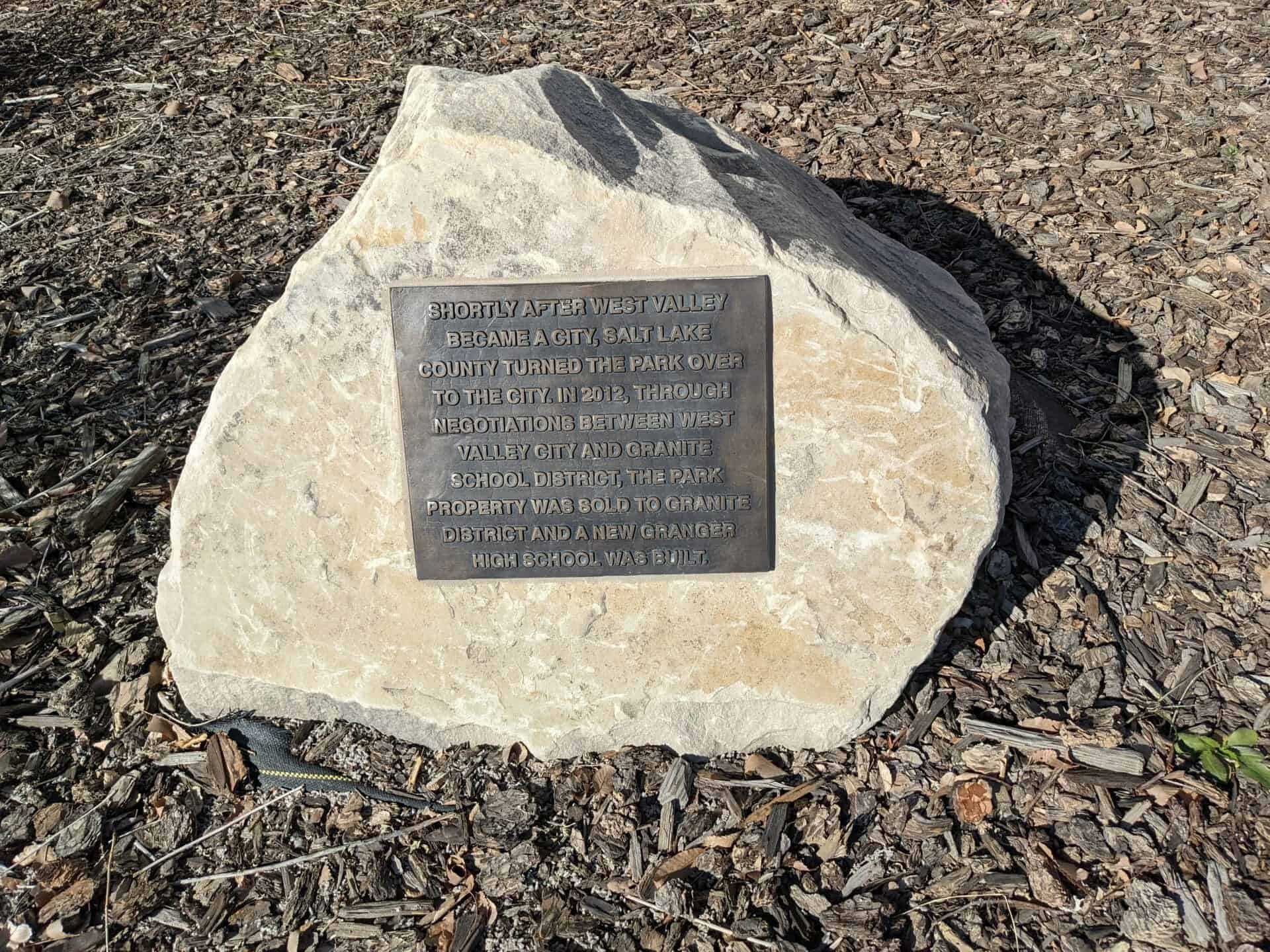
Granger Settlement
First settlers to arrive in this community in 1849 built homes, dug wells, and made canals from Jordan River. The soil’s rich yield prompted Judge Elias Smith to name the area Granger. Churches and schools were situated in various places. In 1884 a ward of the Church of Jesus Christ of Latter-day Saints was organized. Daniel McRae, Bishop. A church building, 6 rods south erected in 1885. Destroyed by gas explosion, was replaced by a two story building. First post office was on this site.
This is Daughter’s of Utah Pioneers marker #361, located at Granger High School at 3580 South 3600 West in West Valley City, Utah and dedicated in 1969.
Related:


22 Wednesday Dec 2021
Posted in Uncategorized
Tags
Farms, Historic Homes, NRHP, utah, West Valley, West Valley City
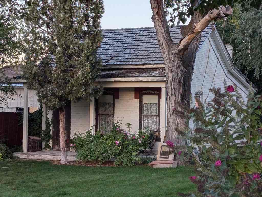
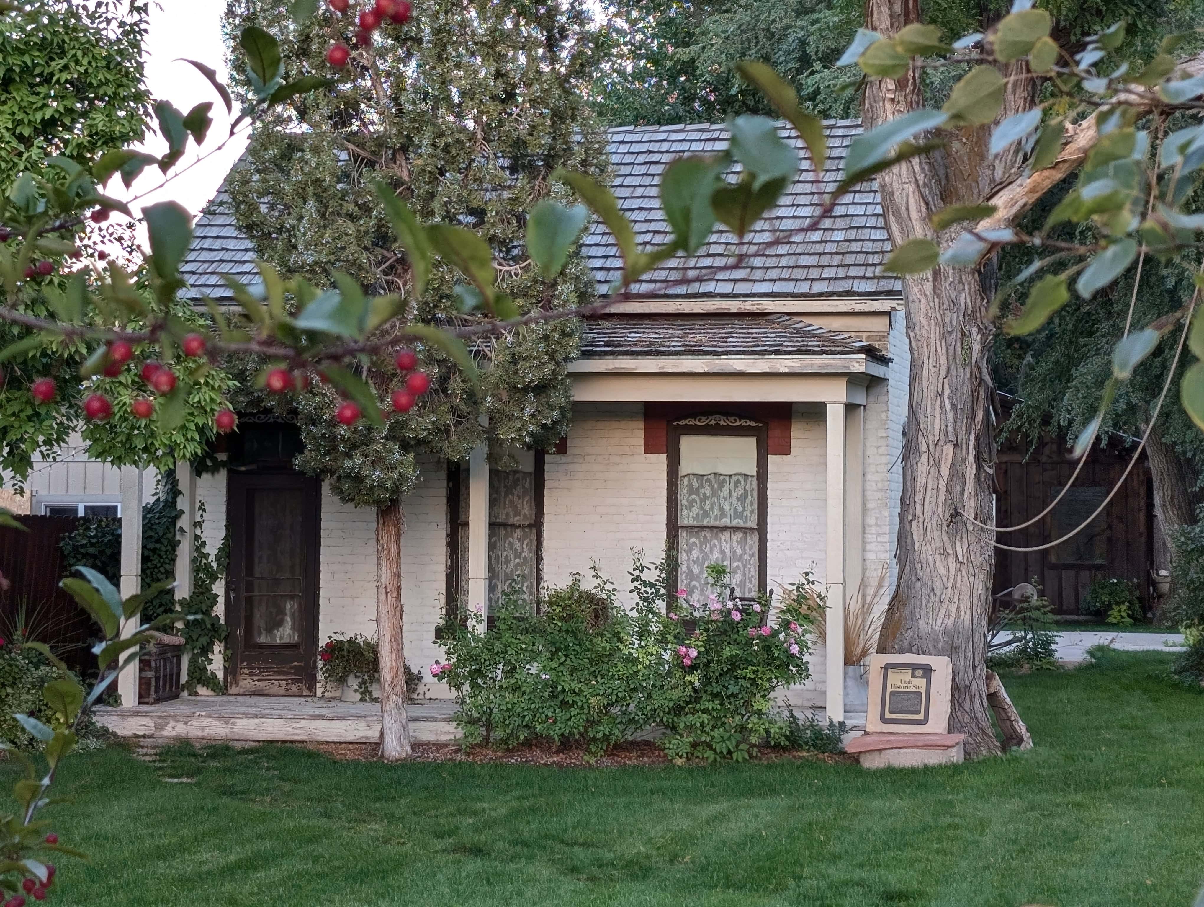
The William McLachlan Farmhouse is located at 4499 South 3200 West in West Valley City, Utah and was added to the National Register of Historic Places (#80003928) on February 14, 1980.
The William McLachlan farmhouse is significant because it is a particularly good example of the small “homestead” farmhouse which was atypical in Mormon settlement areas, where the “farm-village” system of in-town residence coupled with daily commuting to surrounding agricultural areas was generally favored. However, isolated farmsteads did begin to occur in Utah in the 1870’s following the arrival of the general land office. The practice received further impetus in the 1880 ‘s when many polygamists reputedly built homes in out-of-the-way places to shelter plural wives from the raids of the federal “polygamy .hunters”. While there are written and folklore references to this practice, the McLachlan farmhouse is exceptional in the completeness of the documentation of actual construction and of the events that brought it about. The house type is unusual, and the only one known in the Salt Lake Valley region of “over Jordan”.
William McLachlan was born in Thornhill, Dumfrieshire , Scotland, in 1840. Trained as a carpenter and contractor, McLachlan converted to the Mormon Church and immigrated to America in 1863. He was clerk of the Church emigrant company aboard the ship Amazon, assigned to keep a historical record o£ the group. This interest in record keeping persisted throughout his life, as did his high level of activity in the Mormon Church … serving as President of the mission in New Zealand (1875-77) and later as President of the Pioneer Stake.
McLachlan was a polygamist, and like many of the less wealthy polygamists of the period, extremely distressed by the consequences of anti-polygamy raids. In order that his wives not be left penniless should he be arrested and imprisoned, McLachlan purchased land and built this home in a then-remote area “over Jordan”. When it was completed in March 1885 it became home for Maggie Naismith, his second wife, and her five children. McLachlan himself vanished into the underground” for nearly eight years. Part of the time he was employed as a carpenter on the Manti temple and used his earnings there to support his families. His wives were visited as often as it was safe, and Margaret received title to her house in 1886 to protect her and her husband from loss of property should he be caught and prosecuted. Fortunately, McLachlan was never brought to trial.
03 Wednesday Oct 2018
Posted in Uncategorized
24 Tuesday Oct 2017
Posted in Uncategorized
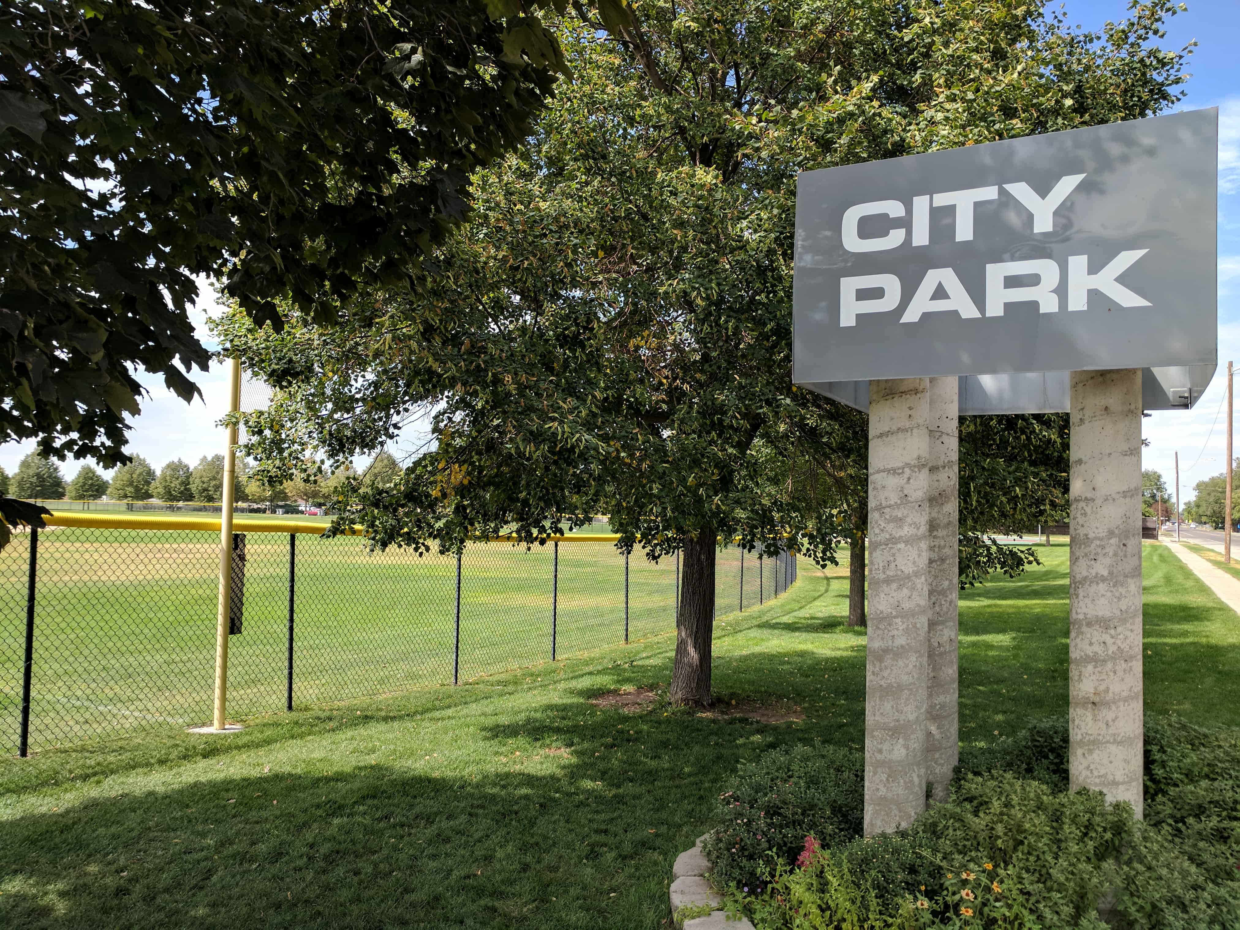
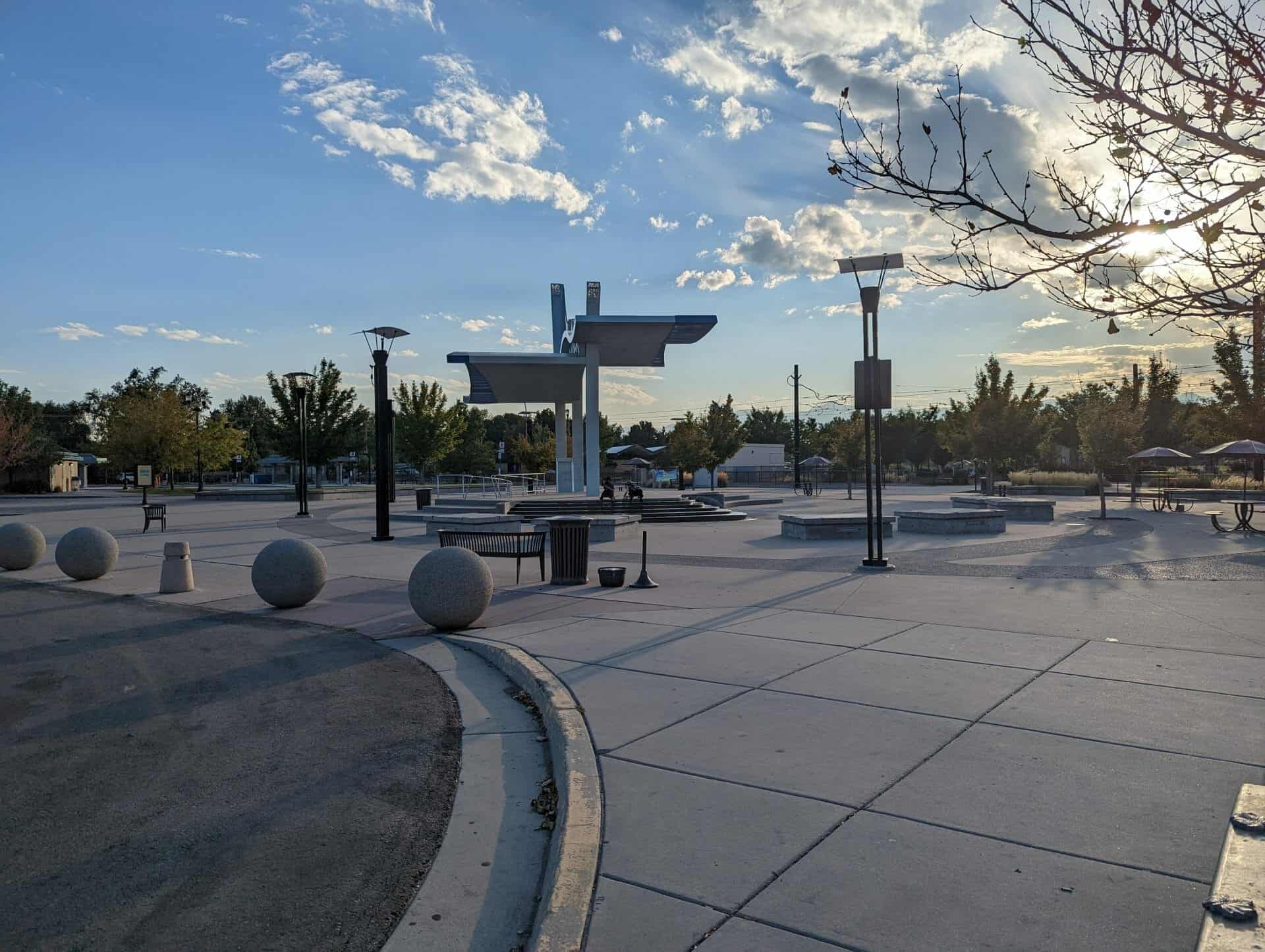
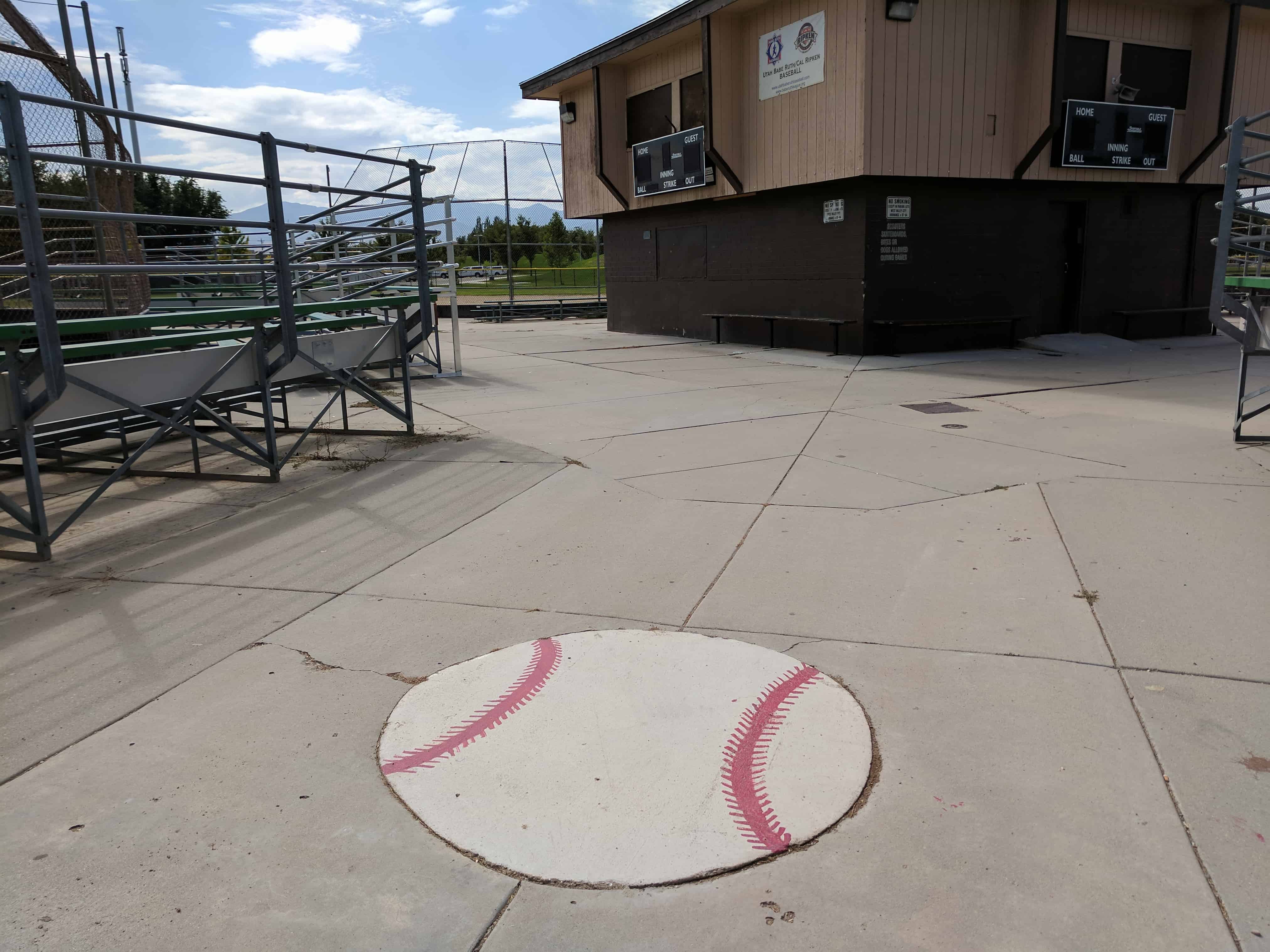
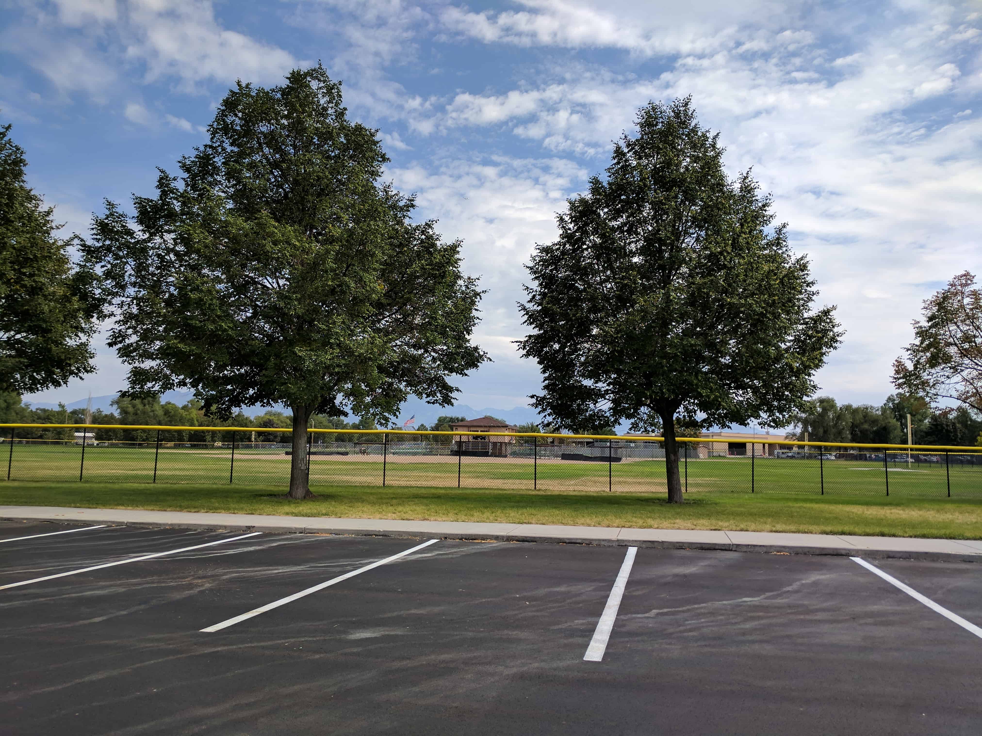
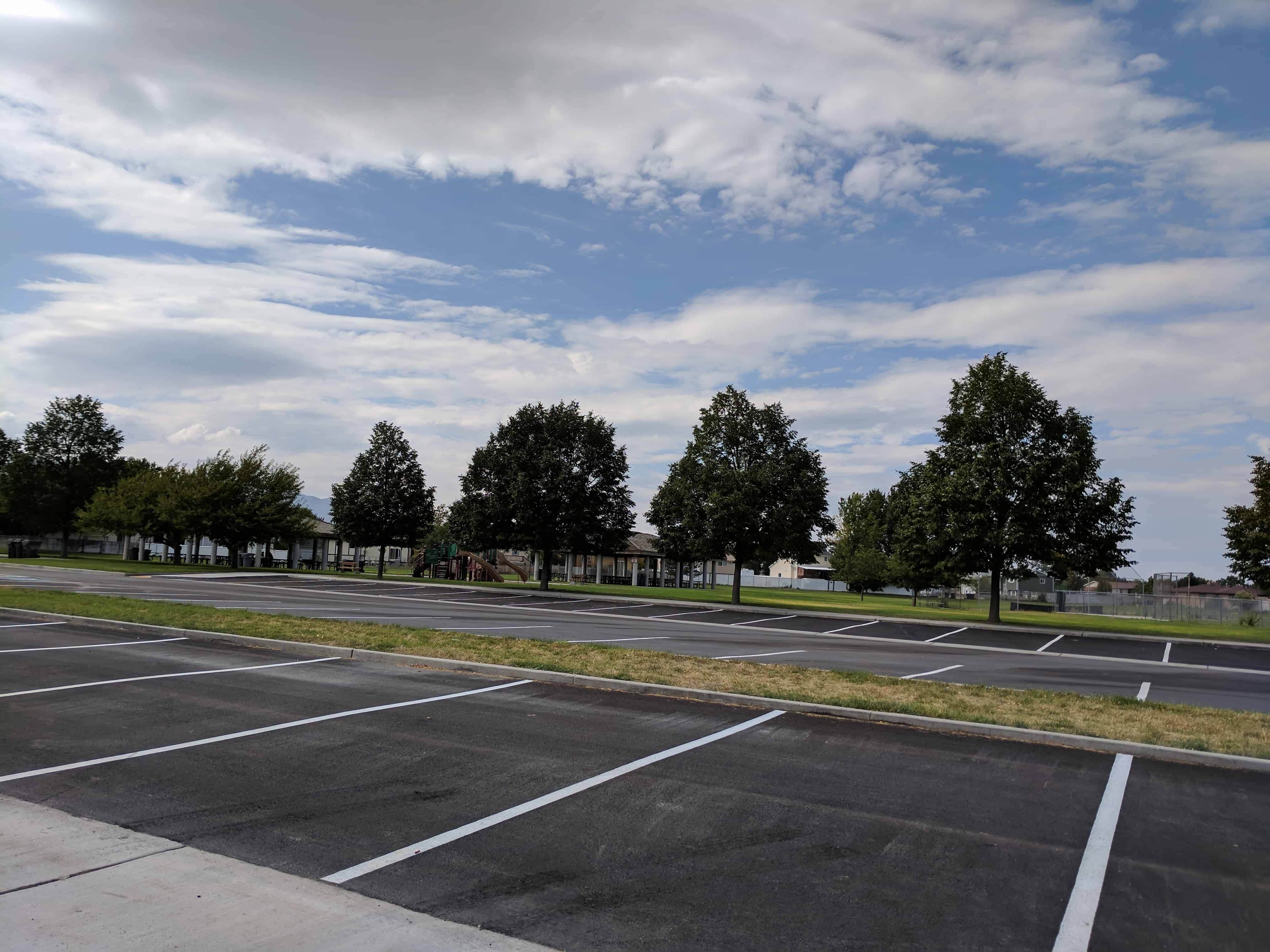
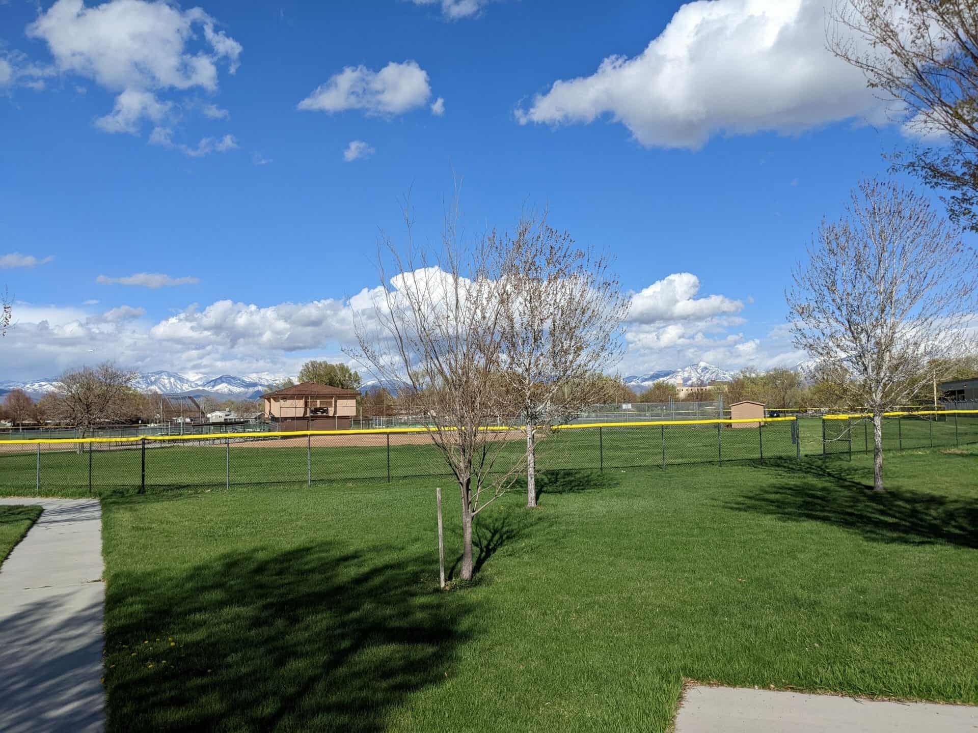
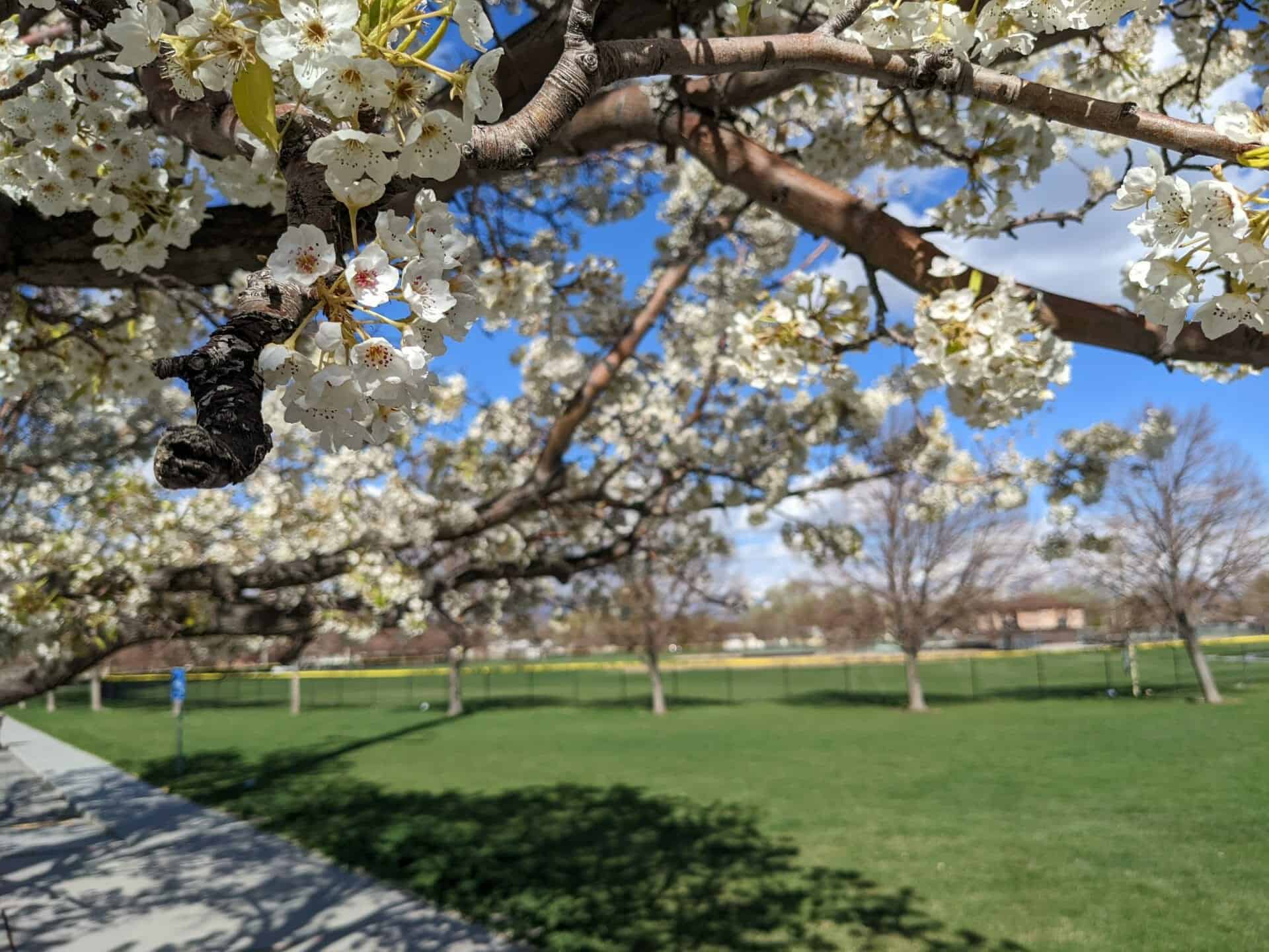
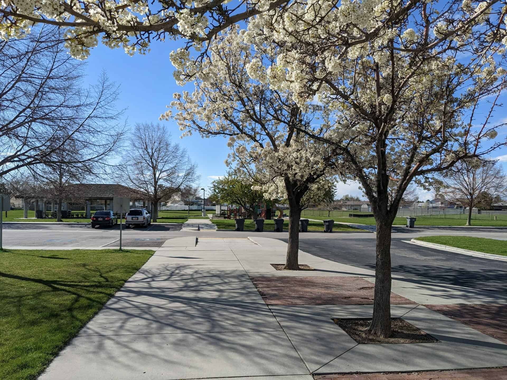
West Valley City Park at 4500 West 3500 South.
See also:


17 Saturday Dec 2016
Posted in Uncategorized

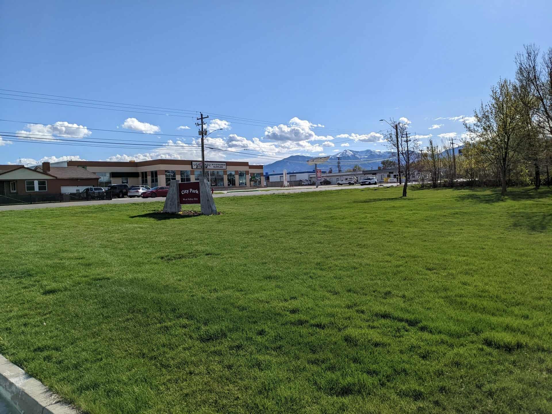
Parks in West Valley

06 Friday Jun 2014
Posted in Uncategorized
Tags
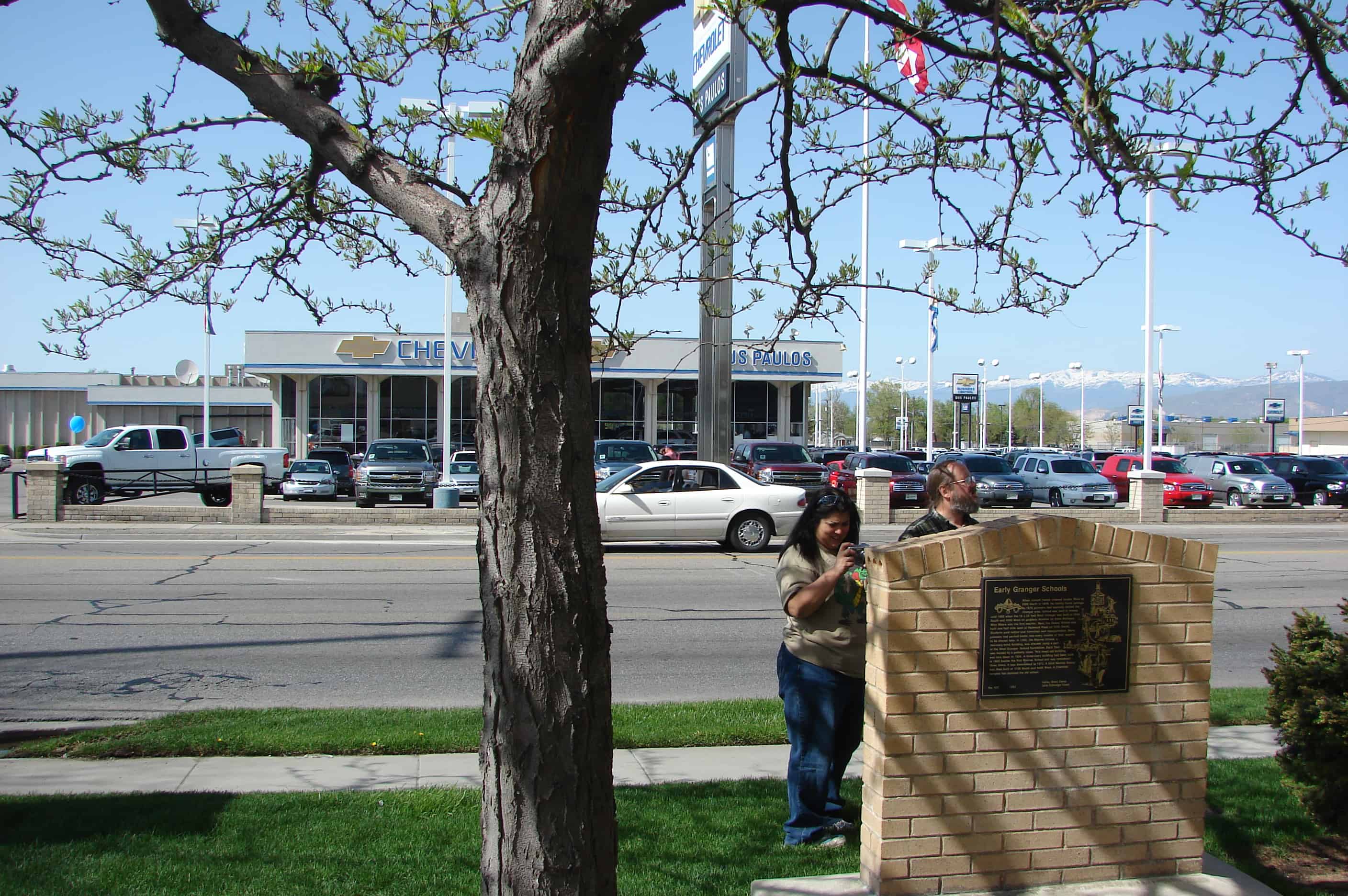
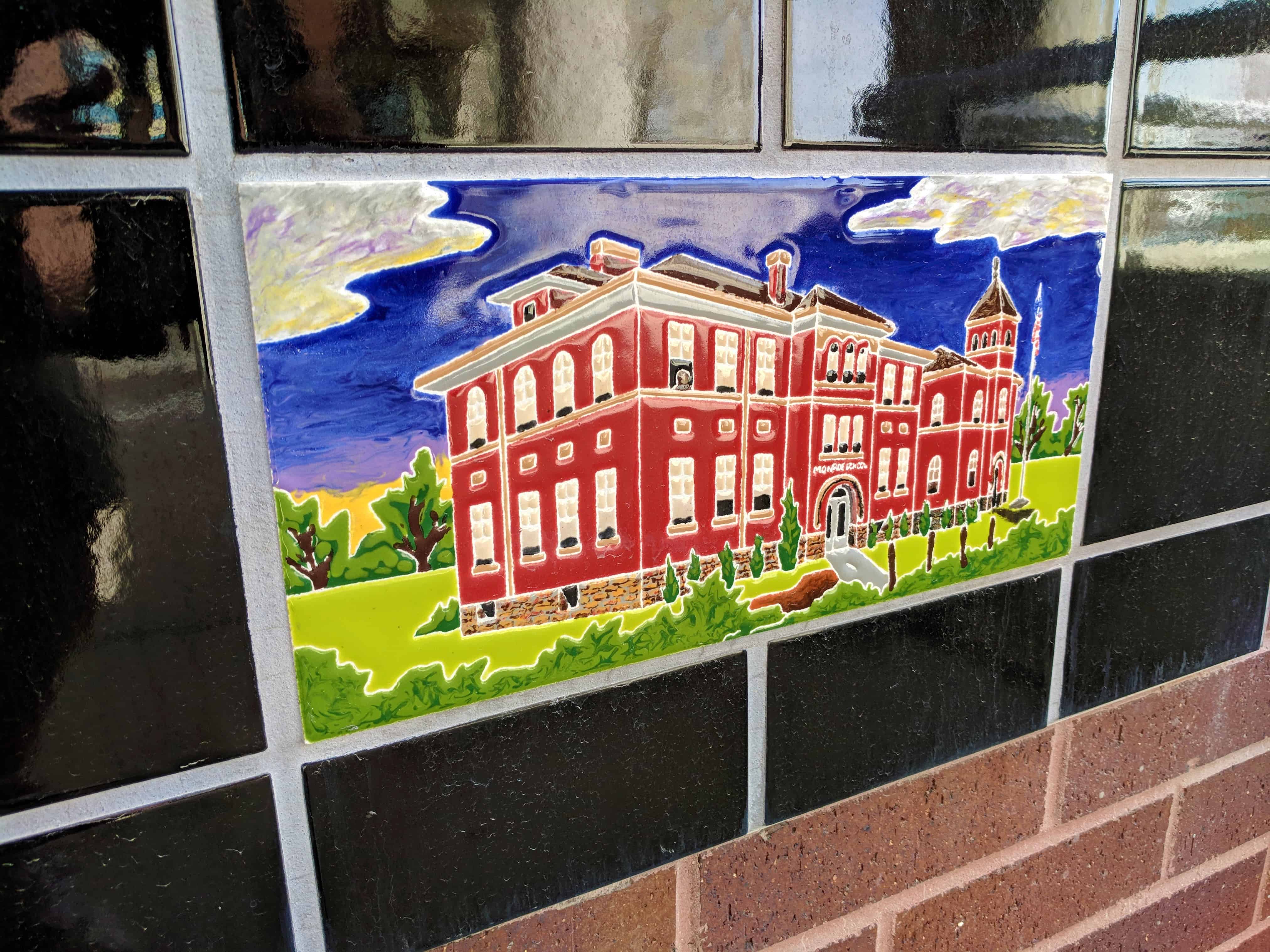
EARLY GRANGER SCHOOLS
When Joseph Harker crossed Jordan River at 3300 South in 1848, he luckily found springs. By 1870 pioneers had sparsely settled the Granger area. School was held in homes until 1882 when the 16 x 24 foot West Granger School was built at 3500 South and 4000 West on property donated by Andrew Mathews. Miss Moore was the first teacher. Next, the Dewey School was built one-half mile west of Redwood Road on 3500 South. Students paid tuition and furnished own transportation. Many pioneers had packed books into every crevice of their wagons to be shared later. In 1893, the Monroe School, a two story brick building was erected, using a part of the West Granger School foundation. Each floor was heated by a potbelly stove. This loved old building was torn down in 1924. A three-story building had been built in 1903 beside the first Monroe School and was remodeled three times. It was demolished in 1972. A third Monroe School was built at 3100 South and 4400 West. A Chevrolet complex has replaced the old school.

Check out all of the historic markers placed by the Daughters of Utah Pioneers at JacobBarlow.com/dup