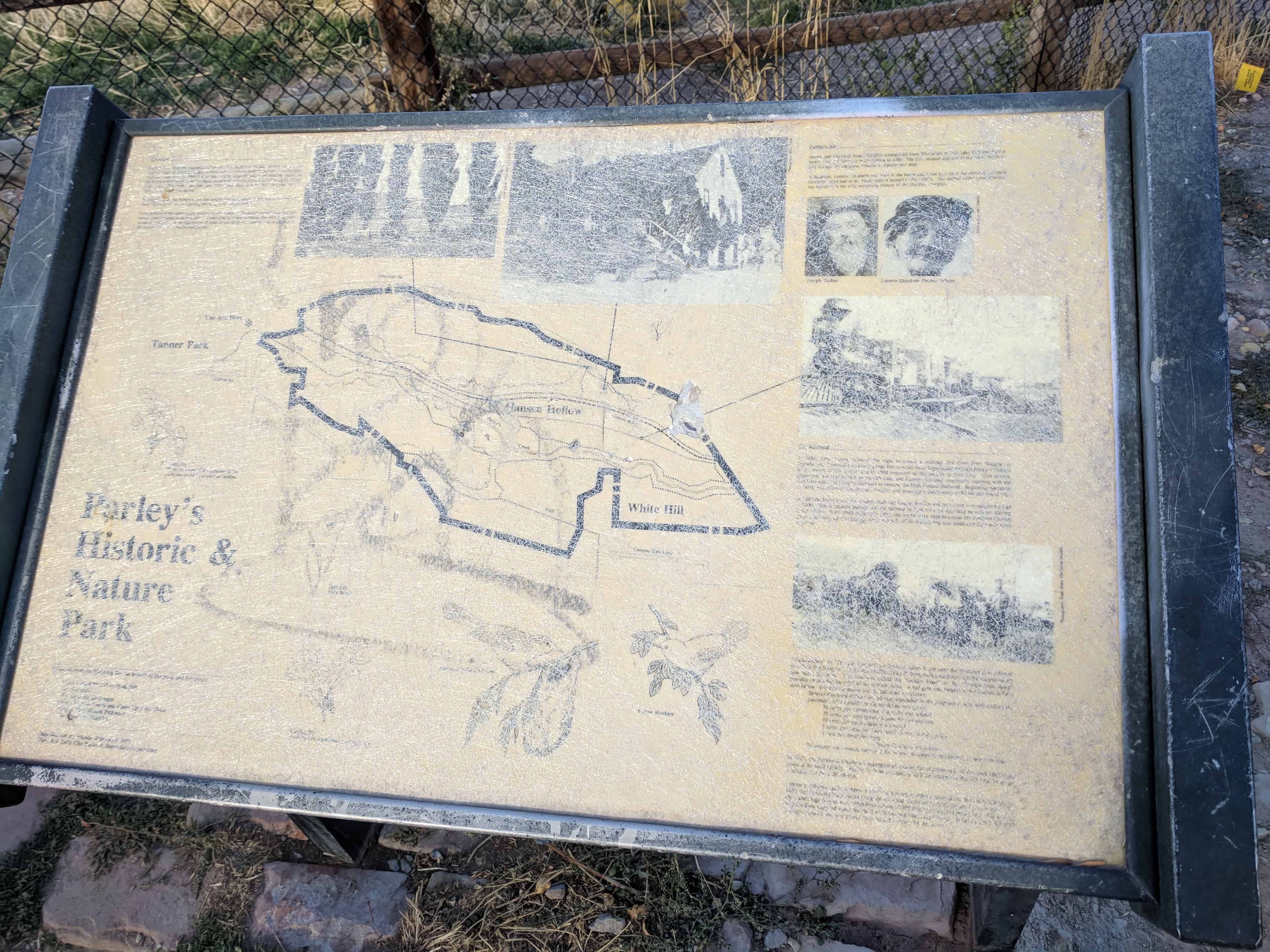
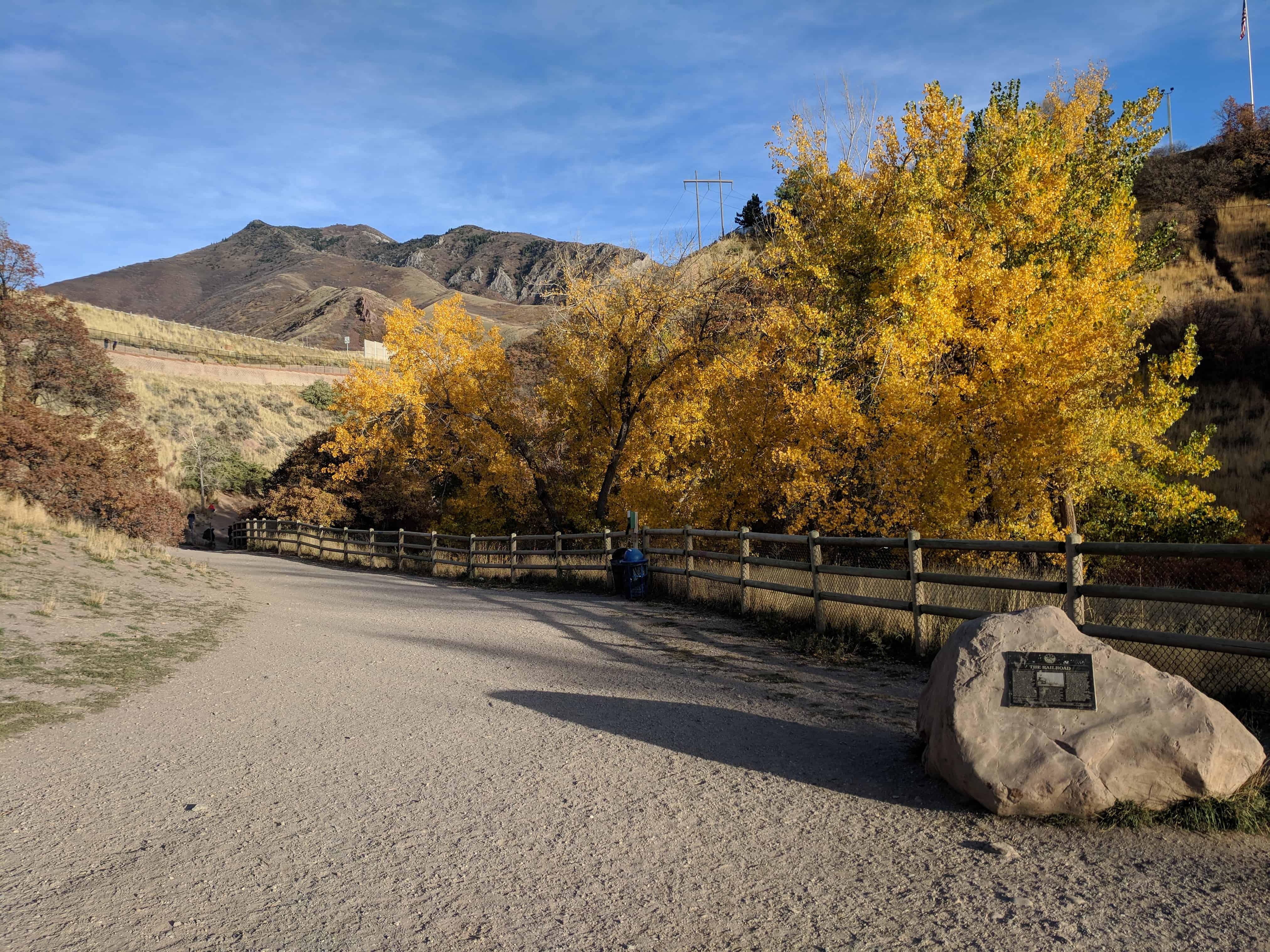
• About JacobBarlow.com
  • Cemeteries in Utah
  • D.U.P. Markers
  • Doors
  • Exploring Utah Email List
  • Geocaching
  • Historic Marker Map
  • Links
  • Movie/TV Show Filming Locations
  • Oldest in Utah
  • Other Travels
  • Photos Then and Now
  • S.U.P. Markers
  • U.P.T.L.A. Markers
  • Utah Cities and Places.
  • Utah Homes for Sale
  • Utah Treasure Hunt

JacobBarlow.com

~ Exploring with Jacob Barlow

JacobBarlow.com

Monthly Archives: December 2017

The Railroad

28 Thursday Dec 2017

Posted by Jacob Barlow in Uncategorized

≈ Leave a comment

Tags

Historic Markers, Railroad, Salt Lake City, Salt Lake County, SUP, utah

2017-10-22 17.29.19

The Railroad

After the opening of the Golden Pass Road through Parley’s Canyon, the canyon became more accessible for the cutting and hauling of wood to be used in construction of homes and industrial ventures. Lamb’s Canyon, near the top of the canon was a prime source for these materials. However, it was soon discovered that the developing industries needed more than wood fuel and water power. Pioneers were sent in various directions to attempt to locate coal deposits. Those sent to the area of the present location of Coalville, Utah, found a brown coal called lignite, east of the townsite up Chalk Creek. Brigham Young immediately formed a coal operation at the site. The coal was dug and hauled by wagon over Silver Creek and Kimball’s Junction, over Parley’s Summit and down the canyon into the valley. A ton of coal then cost $8.00 and the hauling charge was $1.50.

Shortly after the coming of the railroad to the west in 1869, a railroad line connecting Salt Lake and points south was installed from Corinne, in 1869. In 1871, a branch railroad line going north connecting Coalville to the main line at Echo was begun by Summit County Railroad. It was a narrow gage line which served, starting in 1873. The coal was there transferred into the standard gage cars of the UP Railroad which continued thence through Corinne and Ogden, into Salt Lake.

On June 11, 1874, the Eastern Utah Railroad was incorporated to build a narrow gage rail line from Coalville south to the Park City mines. In 1880, the Union Pacific Railroad Co. obtained the lines from Park City north to Echo and replaced them with a standard gage line, which was finally completed in 1888. About this same time, the Salt Lake & Eastern Railroad Co. completed the narrow gage line from Salt Lake City to Park City Mines in 1890. In 1900, the Rio Grande Railroad Co. took over the lines through Parley’s Canyon to Park City and changed them to standard gage. They also acquired the lines from Park City north to Echo. The line through Parley’s Canyon continued not only as a freight train, but carried passengers as well until the service was discontinued from Sugar House through the canyon in the 1940s. Freight service to Sugar House continued for some years after this date.

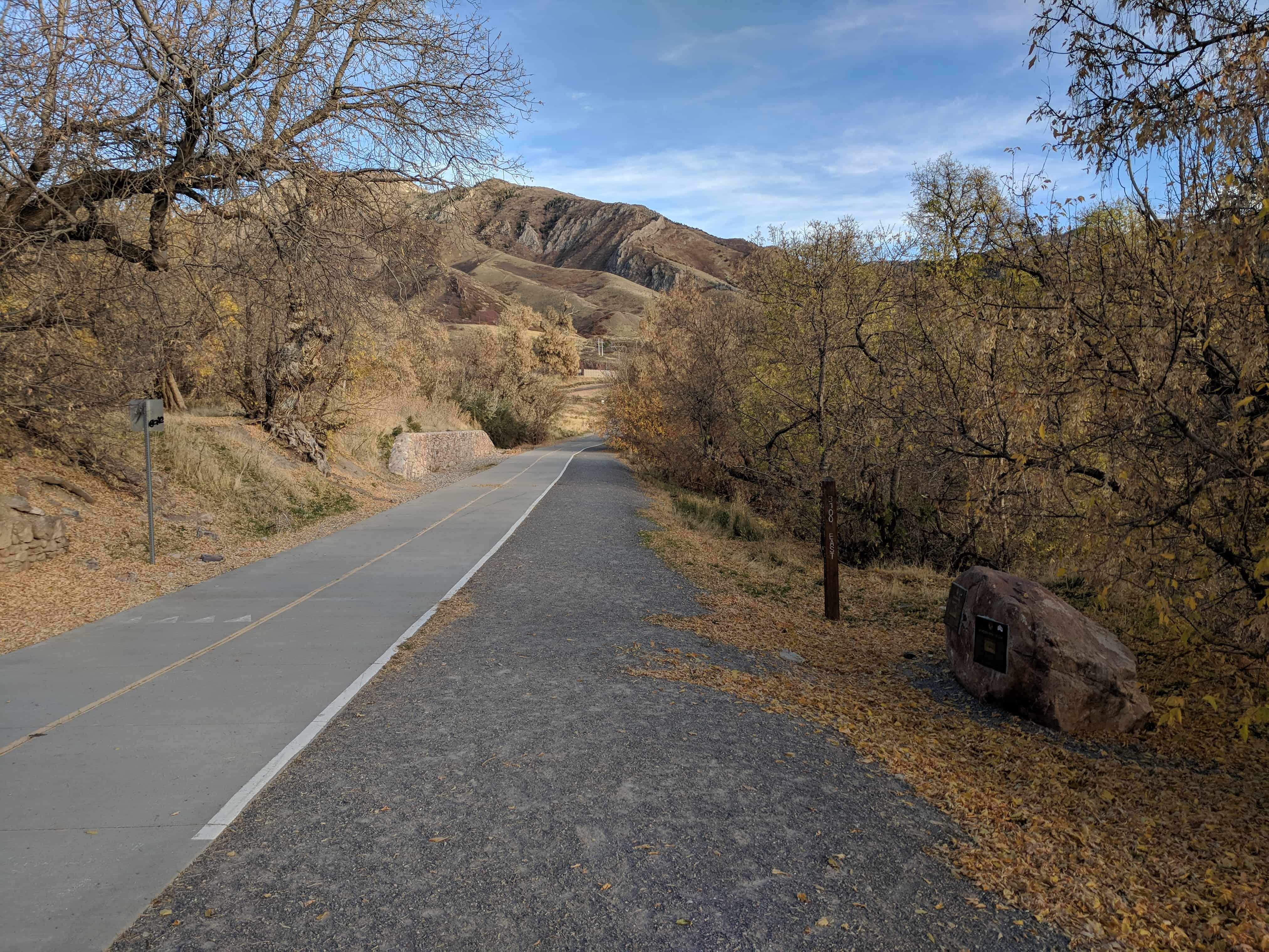
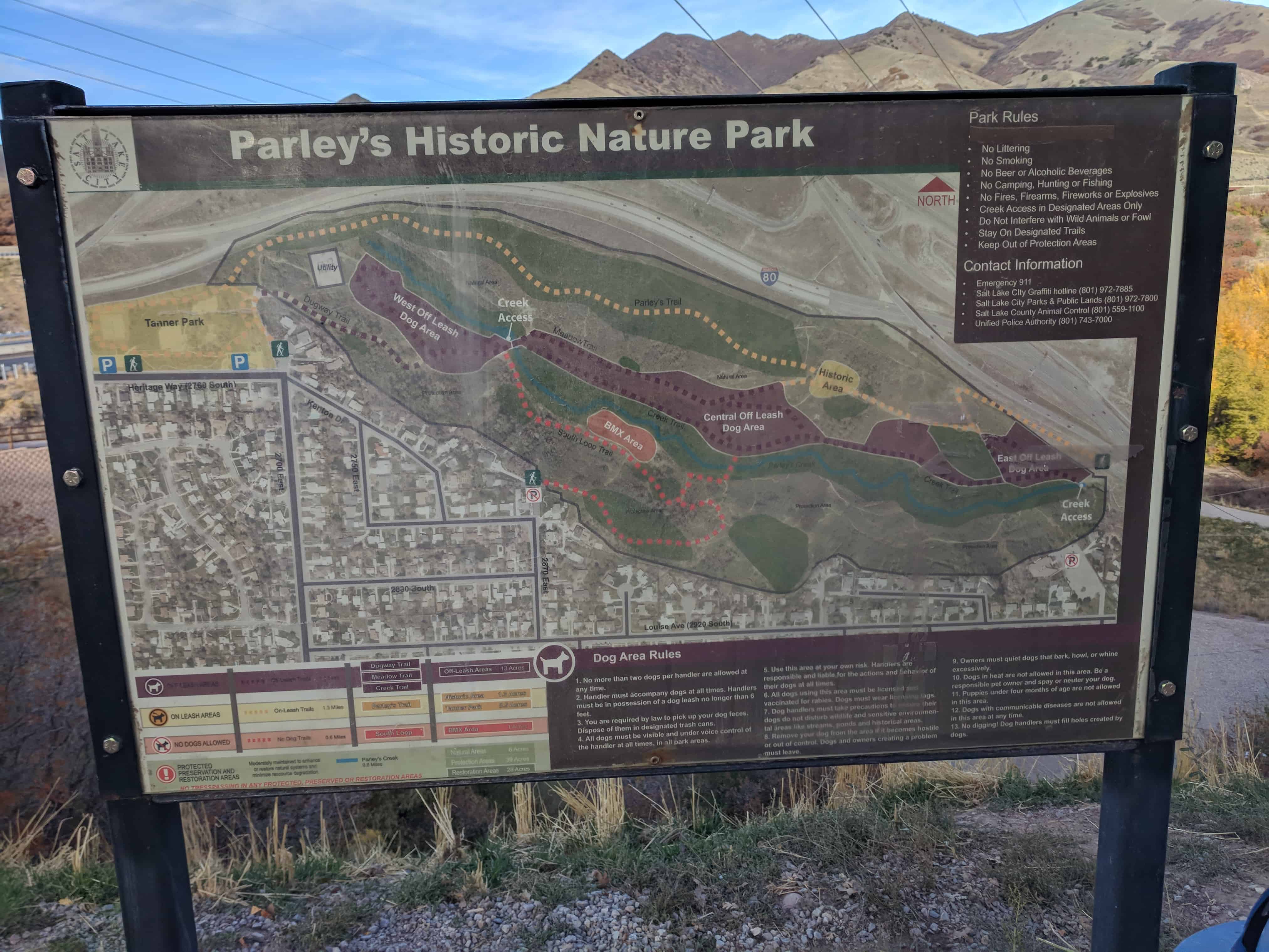
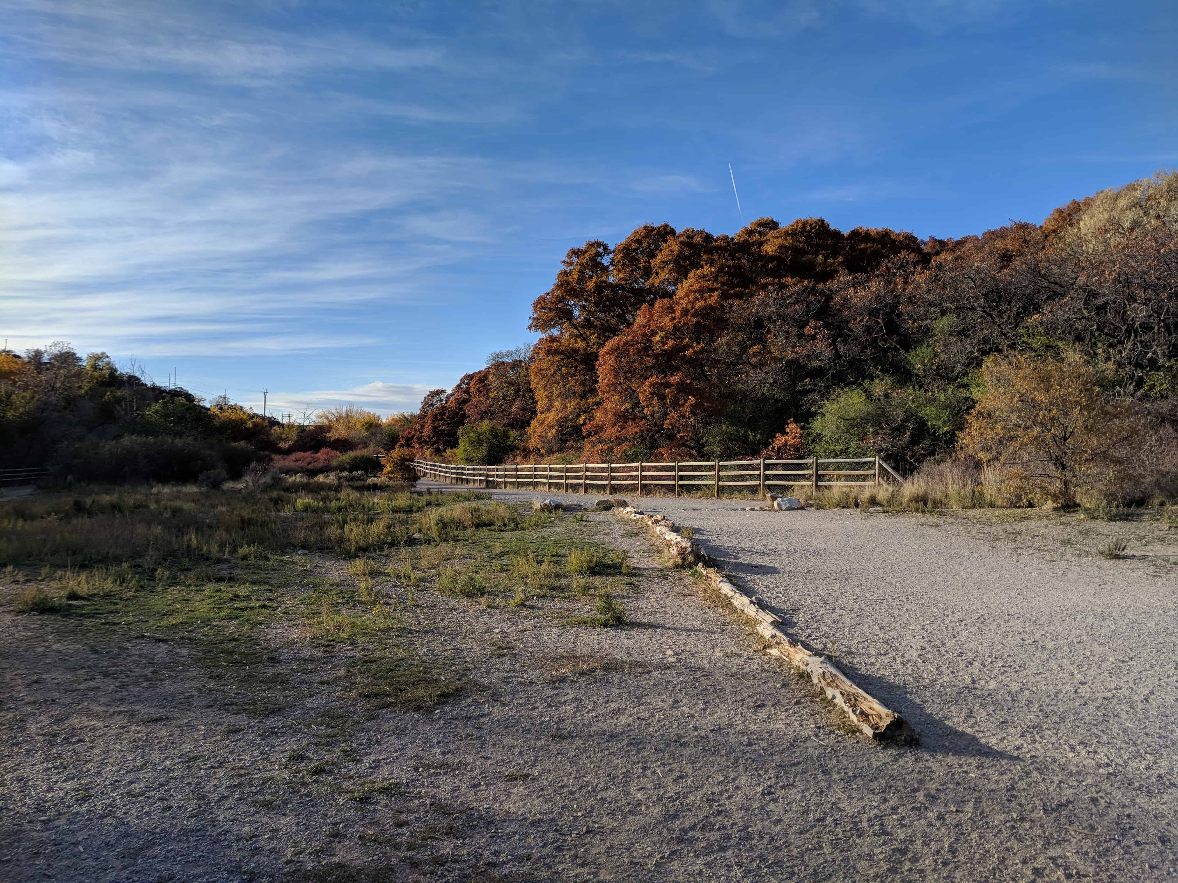
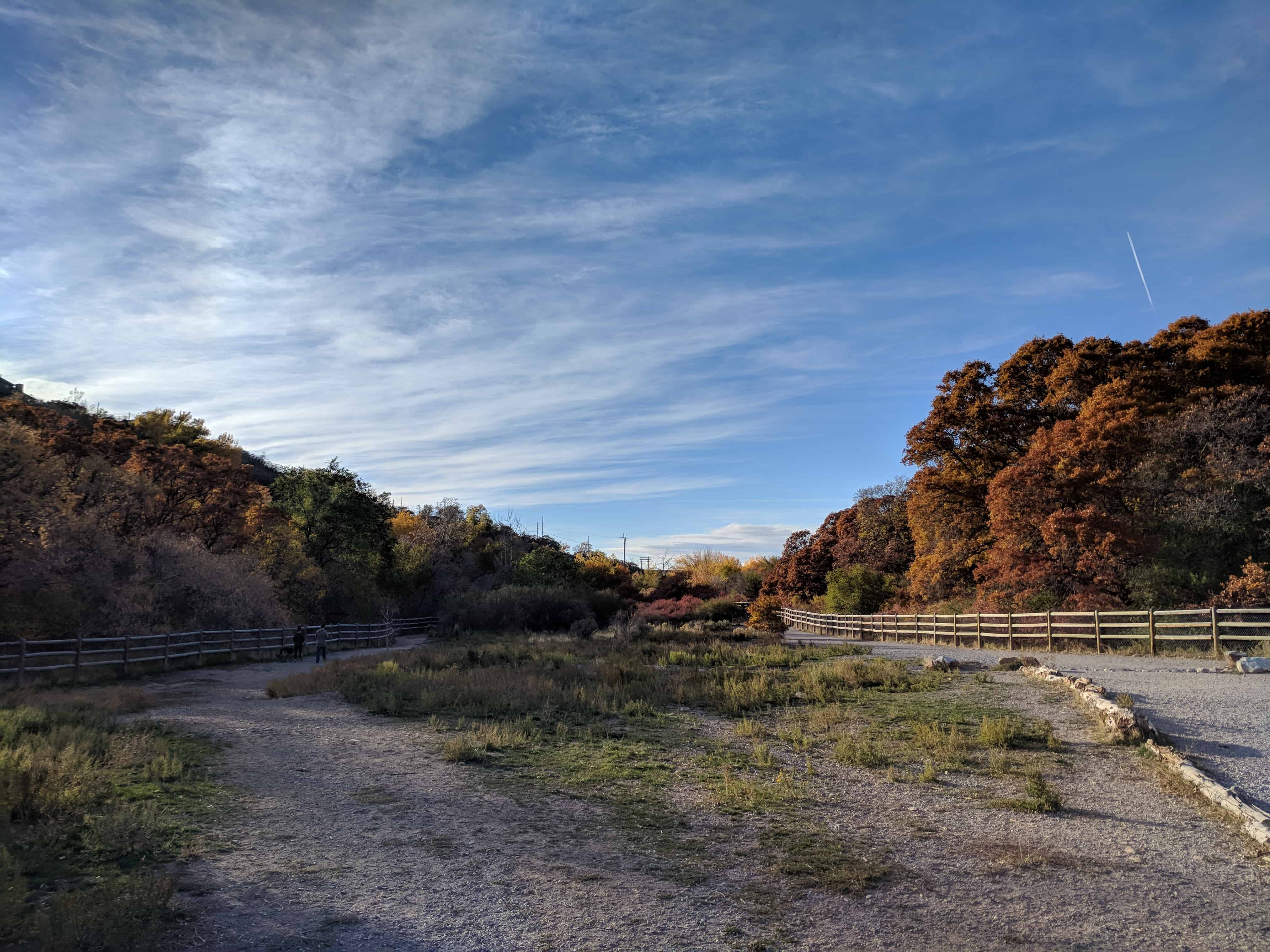
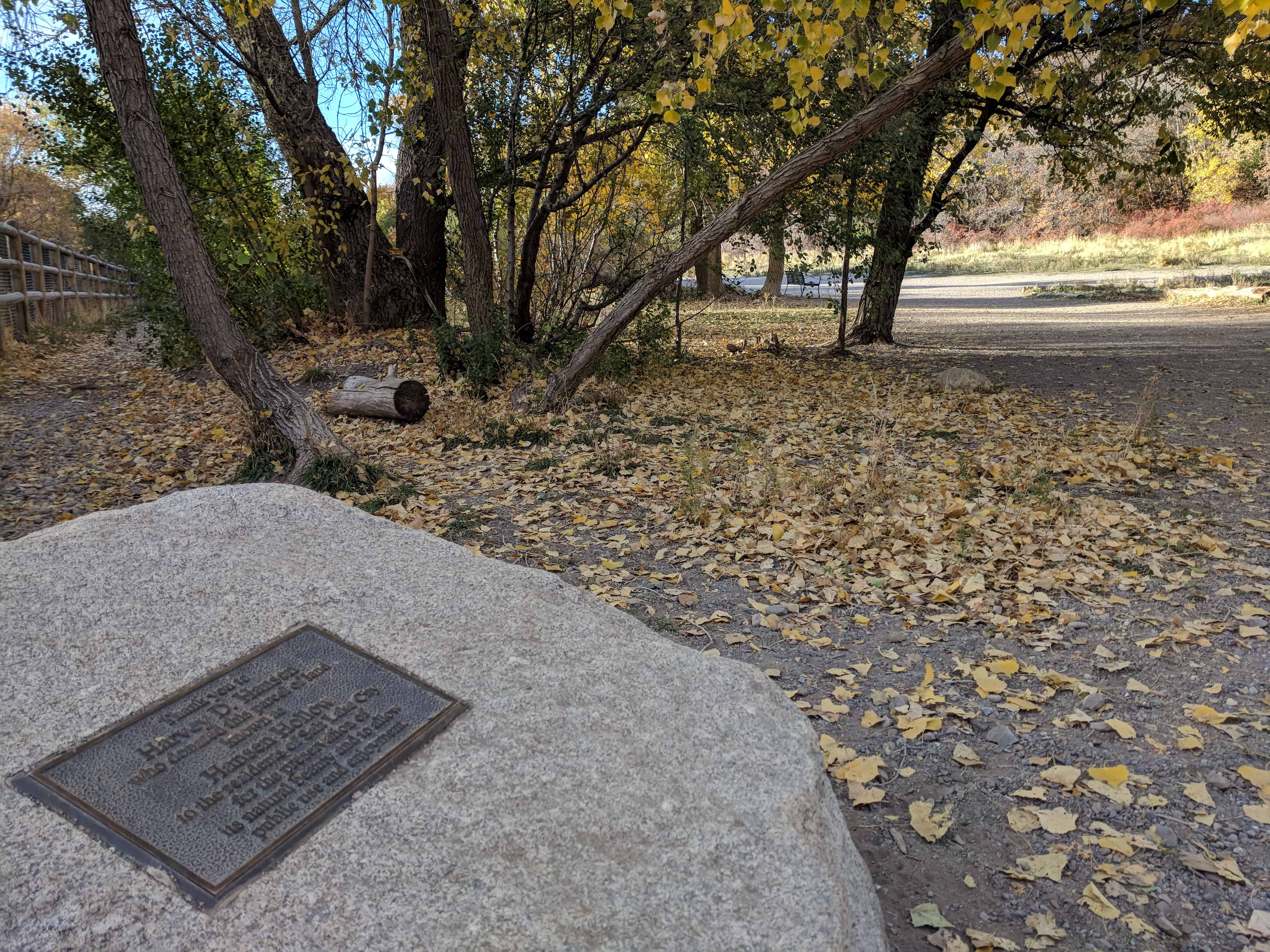
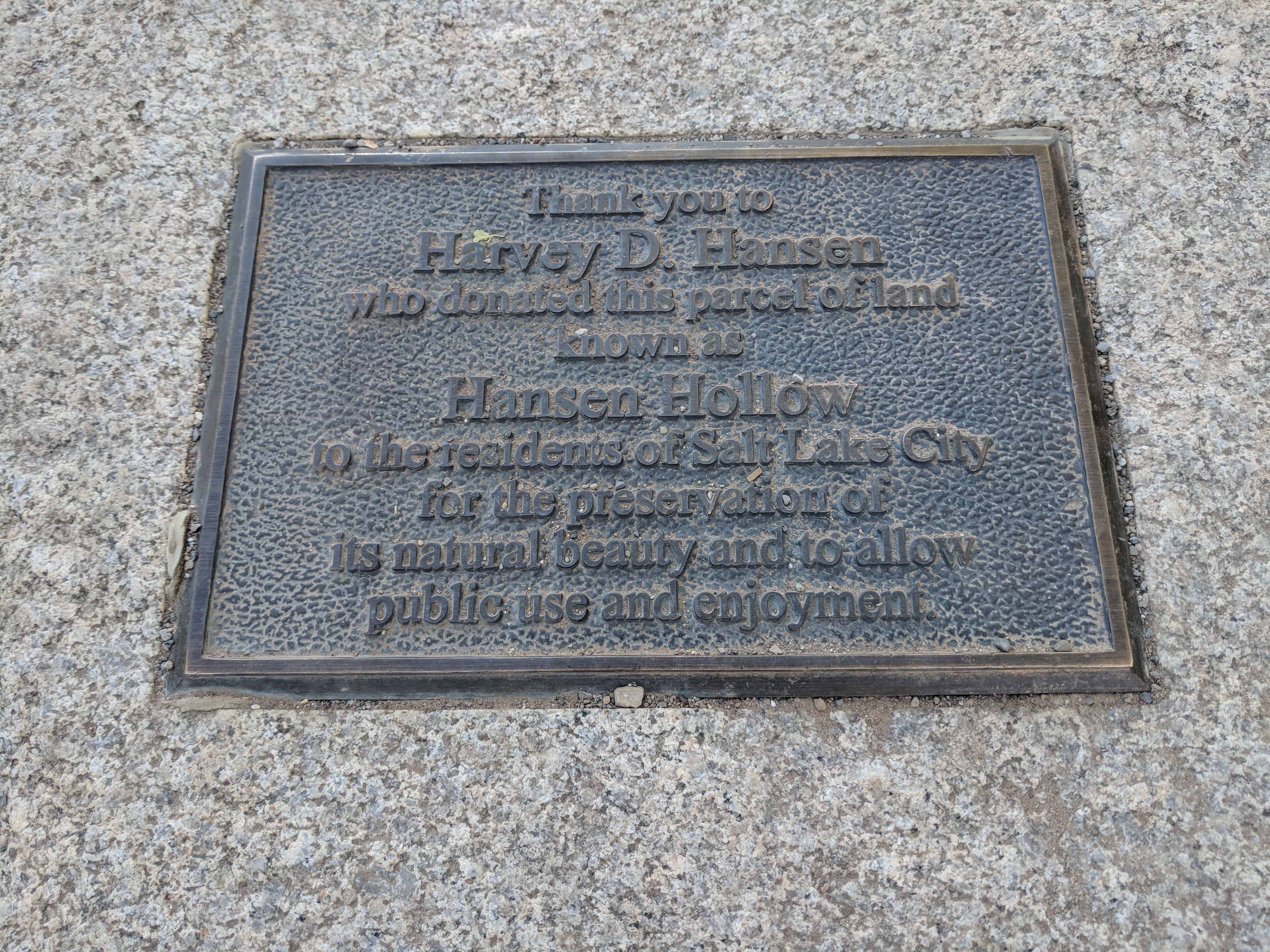
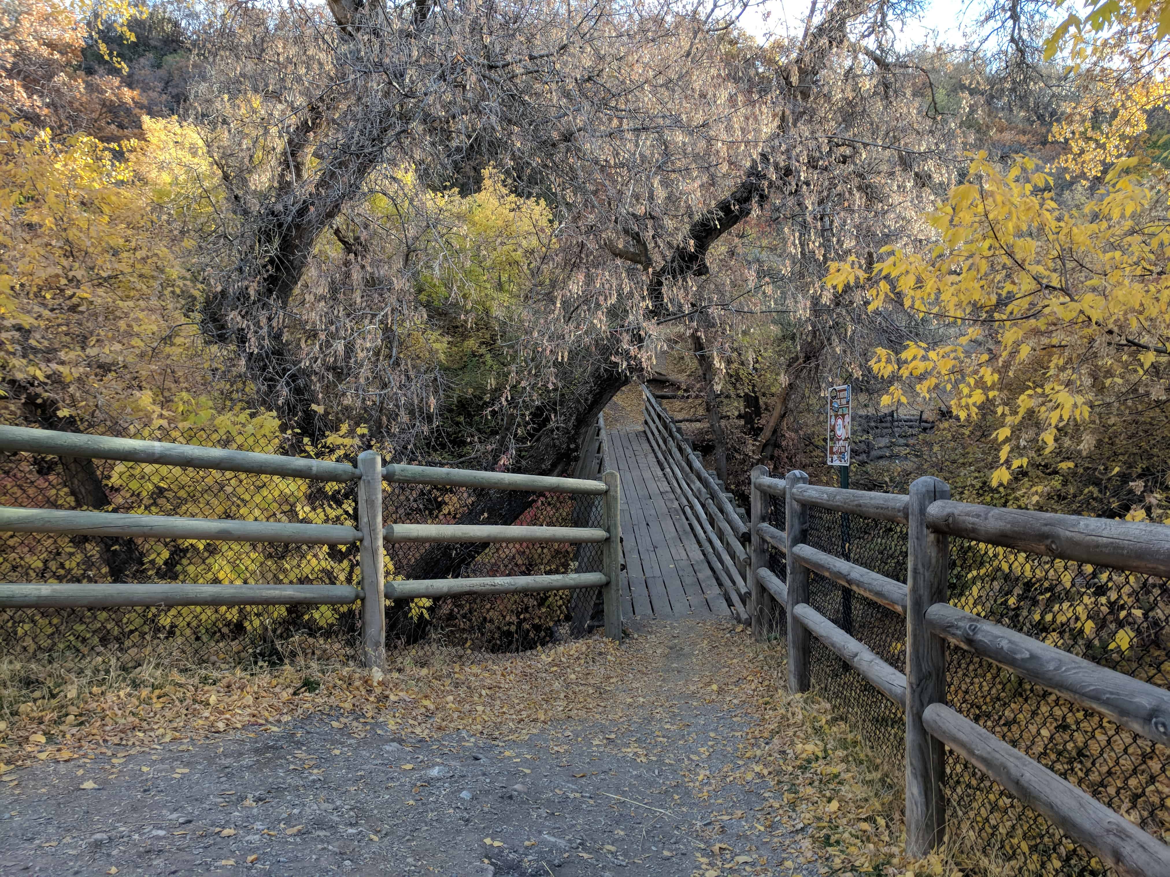
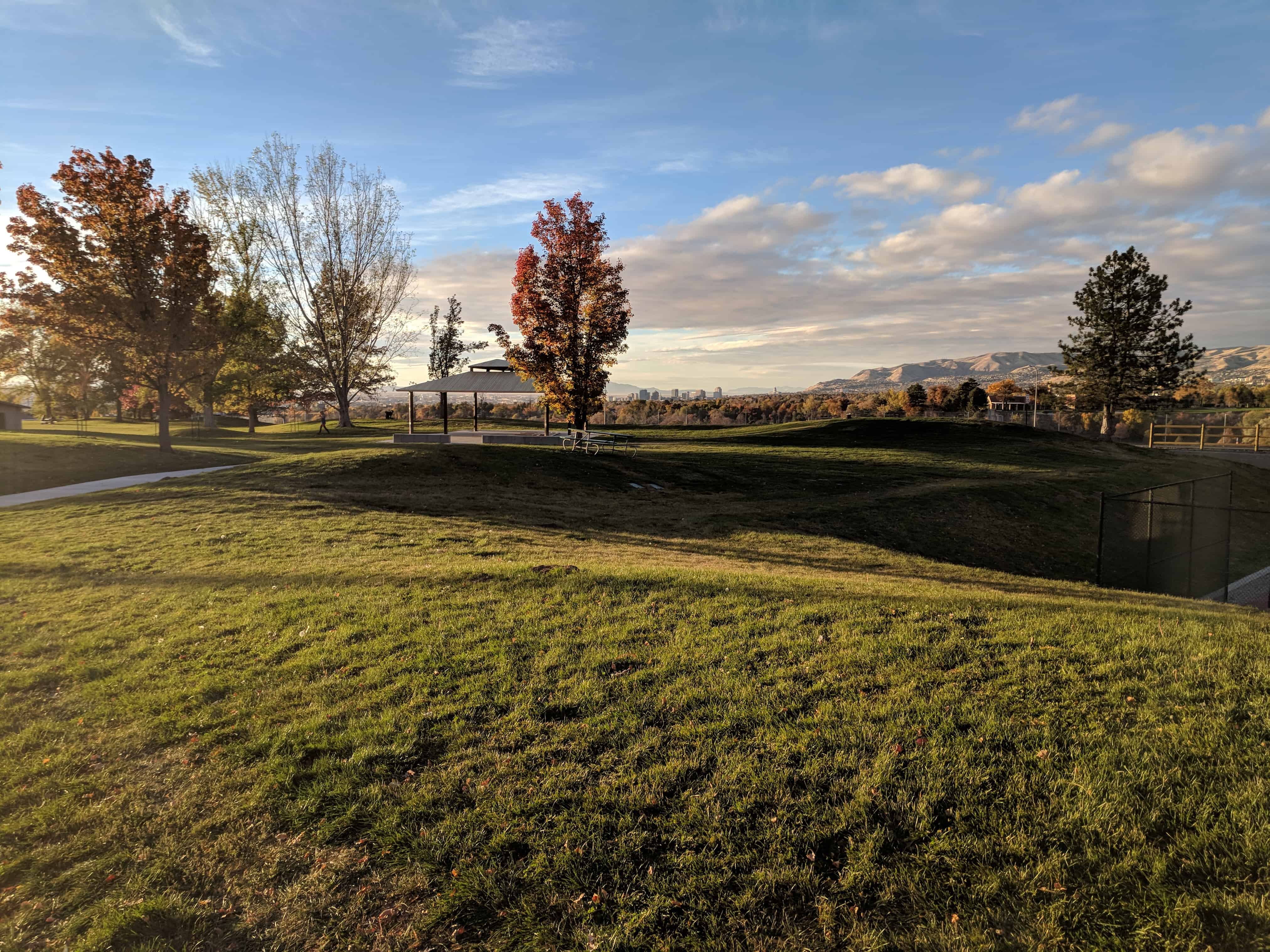
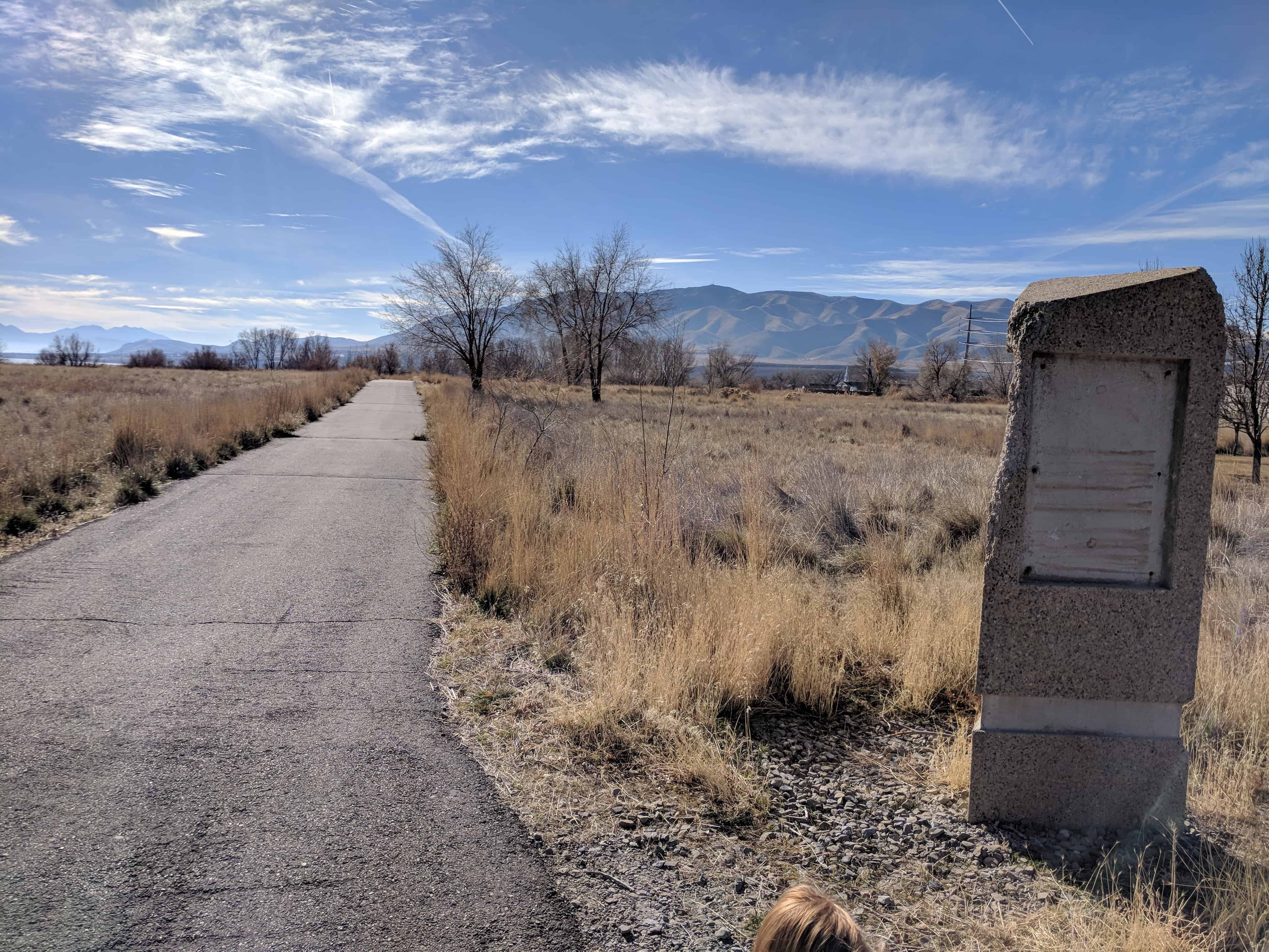
This is SUP Marker #78, to see the other SUP Markers visit this page.  This marker is located in Parley’s Historic Nature Park along with 4 others (listed on the park’s page).

2017-10-22 17.29.28

Dudler’s Wine Cellar

28 Thursday Dec 2017

Posted by Jacob Barlow in Uncategorized

≈ 1 Comment

Tags

Historic Markers, Salt Lake City, Salt Lake County, SUP, utah

2017-10-22 17.40.16

Dudler’s Wine Cellar (see Dudler’s Inn)

Early in 1870, Joseph Dudler, owner and operator of the Inn which was on the ground level of his house, built a brewery in back of his house here in Parley’s Hallow. To Provide for this, in addition to the brewery proper, located on adjacent property west and north of the Inn, he extended his entire earlier building sixteen feet further into the north side of the valley. To this extension he added what came to be known as the wine cellar. He built this rock-walled, underground cellar for a store room as well as storage for the products of his brewery. The walls and roof of the cellar, which still retain their structural integrity, average two-and-one-half feet thick and the walls were ten-feet high. The labor expended to excavate the basement, the cellar, and to erect the two-and-one-half story building of the house and inn, would have been a tremendous task. There were no backhoes, front-end loaders, no dump trucks or cranes in those days to help in the construction; just back-breaking, muscle-straining, hard work. The structure of the cellar was so well designed that over a half-century later, when crews came to clean up what was left of the burned-out building, this stone work that comprises the cellar, supported the weight of the “Cat” when the ground was leveled.

Just to the west and a little bit north of the cellar was a tall brick chimney on the north end of a small frame building which was the brewery proper. This chimney remained for many years having outlasted the frame brewery building, but it too has long since fallen to the ravages of time as did the brewery building itself much earlier. Joe Dudler was a carpenter by trade and a brewer by profession and the following years would prove his proficiency at both.

When Joe first set up his first brewery at this location, he called it the Philadelphia Brewery. He sold his products not only at the inn, but also a little later at his Philadelphia Brewery Saloon in downtown Salt Lake City. His inn was also known for a time as Dudler’s Summer Resort and simply as Dudler’s Saloon.

In the early 1900’s his son Frank and daughter Retta ran the saloon at Parley’s Hollow while their father set up a saloon and ran his famous business in Park City. Joseph Dudler died in 1897.

This is SUP Marker #80, to see the other SUP Markers visit this page.  This marker is located in Parley’s Historic Nature Park along with 4 others (listed on the park’s page).

2017-10-22 17.40.04

Parley’s Historic Nature Park

27 Wednesday Dec 2017

Posted by Jacob Barlow in Uncategorized

≈ 4 Comments

Tags

Parks, Salt Lake City, Salt Lake County, utah

2017-10-22 17.03.01

Parley’s Historic Nature Park

Located at 2740 S 2700 E in Salt Lake, Parley’s Historic Nature Park is a large area with trails for hiking, biking, running, dog walking.  There is a creek and several historic markers and a lot to see.

The land was called Hansen Hollow before Harvey D. Hansen donated it to be used by the public.

Parking for the Nature Park is at Tanner Park.

Related posts:

  • Salt Lake Parks
  • SUP #75 – Dudler’s Inn
  • SUP # 76 – The Golden Pass Road and Tollhouse
  • SUP # 77 – Sandstone Wall & Aquaduct
  • SUP # 78 – The Railroad
  • SUP # 80 – Dudler’s Wine Cellar

2017-10-22 17.09.21

2017-10-22 17.04.03

2017-10-22 17.11.10

2017-10-22 17.03.08

2017-10-22 17.11.17

2017-10-22 17.03.57

2017-10-22 17.12.54

2017-10-22 17.15.15

2017-10-22 17.15.23

2017-10-22 17.17.13

2017-10-22 17.17.16

2017-10-22 17.20.00

2017-10-22 17.24.48

2017-10-22 17.31.10

2017-10-22 17.40.16

2017-10-22 17.43.02

Tanner Park

27 Wednesday Dec 2017

Posted by Jacob Barlow in Uncategorized

≈ 3 Comments

2017-10-22 18.02.34

Tanner Park, at 2695 East Heritage Way (2760 South) in Salt Lake is a beautiful park with a lot to see and do and is also the access point for Parley’s Historic Nature Park.

Related posts:

  • Salt Lake Parks

2017-10-22 18.04.14

2017-10-22 18.05.17

2017-10-22 18.05.14

2017-10-22 18.04.01

2017-10-22 18.03.38

Salt Lake County Parks

27 Wednesday Dec 2017

Posted by Jacob Barlow in Uncategorized

≈ 3 Comments

Tags

Parks, Salt Lake City, Salt Lake County, utah

2017-10-22 18.04.14

Parks maintained by Salt Lake County.  Parks maintained by Salt Lake City can be found here.

  • Big Cottonwood Regional Park
    • Big Cottonwood Area (4300 South 1300 East)
    • Creekside Area (1600 East Murray Holladay Rd)
    • Hillview Area (4189 South 900 East)
    • Holladay Lions Area (1661 E Murray Holladay Rd)
  • Big Bear Park
  • Bruce Field Park
  • Butler Park
  • Canyon Rim Park
  • Central City Recreation Center Park
  • Confluence Park
  • Constitution Park
  • Copperton Park
  • Copperview Recreation Center Park and Skatepark
  • Cougar Park
  • Crestwood Regional Park
  • David Gourley Park
  • Decker Lake
  • Dimple Dell Recreation Center Park
  • Dimple Dell Regional Park
  • Draper Recreation Center and South Mountain Park
  • Elk Run Park
  • Evergreen Park
  • Flight Park
  • Fort Union Plaza
  • Fortuna Park
  • Gary C Swensen Valley Regional Park
  • G.K. Gilbert Geologic View Park
  • Granite Park
  • Harmony Park
  • Hillsdale Park
  • Hunter Park
  • Imperial Park
  • Impressions Park
  • Kearns Linear Parkway
  • Labrum Park
  • Lamplight Park
  • Loder Park
  • Lodestone Regional Park
  • Magna Copper Park
  • Magna Mantle Park 1
  • Magna Mantle Park 2
  • Magna Mini Park
  • Magna Neighborhood Park
  • Marv Jenson Recreation Center Park
  • Mill Hollow Park
  • Millcreek Activity Center
  • Millcreek Canyon
  • Millrace Park
  • Moonlight Park
  • Murray Fields
  • North Park
  • Olympus Hills Park
  • Oquirrh Highland Basin
  • Oquirrh Highland Park
  • Oquirrh Park
  • Pleasant Green Park
  • Prospector Park
  • Redwood Recreation Center Park
  • Riverview Park
  • Scott Avenue Park
  • Skyview Basin
  • South Mountain Park
  • South Park
  • Southridge Park
  • Sugar House Park
  • Sunnyvale Park
  • Tanner Park
  • Taylorsville Park
  • Union Park
  • Vista Park
  • Wardle Fields Regional Park
  • Welby Regional Park
  • Welker Park
  • West Jordan Dog Park
  • Western Springs Park
  • Wheadon Farm Regional Park
  • Wheeler Historic Farm Park
  • Woodstock Meadows
  • WT Geologic View Area

Utah State Parks

27 Wednesday Dec 2017

Posted by Jacob Barlow in Uncategorized

≈ 3 Comments

The State Parks of Utah.

  • Anasazi State Park Museum
  • Antelope Island State Park
  • Bear Lake State Park
  • Camp Floyd State Park Museum
  • Coral Pink Sand Dunes State Park
  • Dead Horse Point State Park
  • Deer Creek State Park
  • East Canyon State Park
  • Echo State Park
  • Edge of the Cedars State Park Museum
  • Escalante Petrified Forest State Park
  • Flight Park State Recreation Area
  • Fred Hayes at Starvation
  • Fort Deseret State Park
  • Fremont Indian State Park and Museum
  • Frontier Homestead State Park Museum
  • Goblin Valley State Park
  • Goosenecks State Park
  • Great Salt Lake State Park
  • Green River State Park
  • Gunlock State Park
  • Historic Union Pacific Rail Trail
  • Huntington State Park
  • Hyrum State Park
  • Jordan River OHV State Recreation Area
  • Jordanelle State Park
  • Kodachrome Basin State Park
  • Lost Creek State Park
  • Millsite State Park
  • Otter Creek State Park
  • Palisade State Park
  • Piute State Park
  • Quail Creek State Park
  • Red Fleet State Park
  • Rockport State Park
  • Sand Hollow State Park
  • Scofield State Park
  • Snow Canyon State Park
  • Steinaker State Park
  • Territorial Statehouse State Park Museum
  • This Is The Place Heritage Park
  • Utah Field House of Natural History State Park Museum
  • Utah Lake State Park
  • Utahraptor State Park
  • Wasatch Mountain State Park
  • Willard Bay State Park
  • Yuba State Park

Link to the above map:

  • https://utstateparks.com/

Saratoga Hot Springs

26 Tuesday Dec 2017

Posted by Jacob Barlow in Uncategorized

≈ Leave a comment

Tags

Hot Springs, Saratoga Springs, utah, utah county

2017-11-25 11.56.42

Saratoga Hot Springs is a lesser known Hot Spring to soak in, located in Saratoga Springs near Lehi, it’s about a 1/4 mile flat walk from Inlet Park.

2017-11-25 11.38.28

(above) This is the start of the trail to the springs from Inlet Park.

2017-11-25 11.39.49

2017-11-25 11.40.35

2017-11-25 11.44.37

2017-11-25 11.51.14

2017-11-25 11.51.21

2017-11-25 11.51.29

2017-11-25 11.51.33

2017-11-25 11.56.30

2017-11-25 12.11.31

Inlet Park

26 Tuesday Dec 2017

Posted by Jacob Barlow in Uncategorized

≈ Leave a comment

Tags

Parks, Saratoga Springs, utah, utah county

2017-11-25 11.36.12

Inlet Park in Saratoga Springs, maintained by Utah County.

2017-11-25 11.36.18

2017-11-25 11.36.23

2017-11-25 11.38.28

2017-11-25 12.11.39

Our Sweet Three Year Old Daughter

26 Tuesday Dec 2017

Posted by Jacob Barlow in Uncategorized

≈ Leave a comment

Tags

Historic Markers, Holladay, Salt Lake City, Salt Lake County, SUP, utah

2017-10-22 16.29.04

Our Sweet Three Year Old Daughter

Name unknown but surely well-loved was in 1848 the first to be laid to rest in this historic Holladay Memorial Park. The cemetery, second in the valley, was begun under the direction of Brigham Young. The streams, rolling hills and mountain views make this a beautiful location.

The Holladay Chapter of the Sons of Utah Pioneers have erected this monument, sculpted by Stan Watts, to honor our pioneer forefathers sent to settle in the area of the Springs, called Spring Creek. The Pioneer Mississippi Company, with its leader John Holladay, first called the settlement Holladay’s Burgh.

The name was later changed to Holladay to honor John Holladay.
This monument is located in Holladay in the Memorial Cemetery and is #154 of the SUP Historic Markers.

Related posts:

  • First Utah Pioneer Cemetery Outside Salt Lake City

2017-10-22 16.29.19

2017-10-22 16.29.24

2017-10-22 16.29.31

2017-10-22 16.29.38

First Utah Pioneer Cemetery Outside Salt Lake City

26 Tuesday Dec 2017

Posted by Jacob Barlow in Uncategorized

≈ 1 Comment

Tags

Cemeteries, Firsts, Historic Markers, LDS Church, Salt Lake City, Salt Lake County, utah

  • 2017-10-22 16.26.04

First Utah Pioneer Cemetery Outside Salt Lake City

In 1848, when the first pioneer death occurred in Holladay, the cemetery knoll southeast of here, overlooking lowland watery meadows of a then meandering Big Cottonwood Creek, was selected as a community cemetery.  Tradition has it that the first burial was a baby.

For 127 years, local LDS Church leadership oversaw this 13-acre cemetery in behalf of the entire community.  In 1975 the cemetery was sold.

In early pioneer Utah times, burial was generally 1 to 2 days after death.  Families themselves often dug the grave 5 to 6 feet deep.  The deceased person was dressed in regular clothing or in a burial shroud (a long nightgown-type of burial dress) and placed in a snug fitting wooden box or in blankets and cloth material.  Funerals were a community affair, most persons participating one way or another – attended the funeral at church, providing food for participants after the service, or helping the bereaved family do their chores.

Related posts:

  • Memorial Holladay Cemetery

This historic marker is #9 of the Historical Walking Tour of Holladay on this page.

  • 2017-10-22 16.26.10
← Older posts
Newer posts →

Follow Jacob

Follow Jacob

Come wander with me on Youtube.

Blog Stats

  • 2,087,391 hits

Social and Other Links

BarlowLinks.com

Recent Posts

  • Provo High School Seminary Building
  • 821 E 100 S
  • 820 E 100 S
  • 817-819 E 100 S
  • 814 E 100 S

Archives

Loading Comments...