The Grand Gulch Archeological District is a 4,240-acre area in southeastern Utah renowned for its dense concentration of Ancestral Puebloan cliff dwellings, rock art, and artifacts. Located within Bears Ears National Monument, this rugged, 50-mile canyon system requires permits for all hiking and backpacking
Grand Gulch Archeological District is located in San Juan County, Utah and was added to the National Register of Historic Places (#82004154) on June 14, 1982.
Lower Bear River Archeological Discontiguous District
The Lower Bear River Archeological Discontiguous District is located near Brigham City, Utah in Box Elder County and was added to the National Register of Historic Places (#86000249) on February 13, 1986.
Flat Canyon Archeological District is located Desolation Canyon in Carbon County, Utah and was added to the National Register of Historic Places (#78002654) on December 12, 1978.
The Aneth Terrace Archeological District is located in San Juan County, Utah and was added to the National Register of Historic Places (#80003937) on August 1, 1980.
The Westwater Canyon Archeological District is located in San Juan County, Utah and was added to the National Register of Historic Places (#80003940) on September 4, 1980.
The Salt Creek Archeological District is in the The Needles district in Canyonlands National Park in San Juan County, Utah. Salt Creek Canyon holds the park’s highest concentration of archeological sites, particularly many structures constructed by the ancestral Puebloan and Fremont people.* The Archeological District was added to the National Register of Historic Places (#75000164) on March 31, 1975.
Home to many “excellent” examples of the “emergence, fluorescence and demise” of prehistoric agriculture in the region from 400 to 1300 AD, according to state historians.*
The Toovuhsuhvooch Archaeological District is located in Nine Mile Canyon in Carbon County, Utah and was added to the National Register of Historic Places on July 21, 2025.
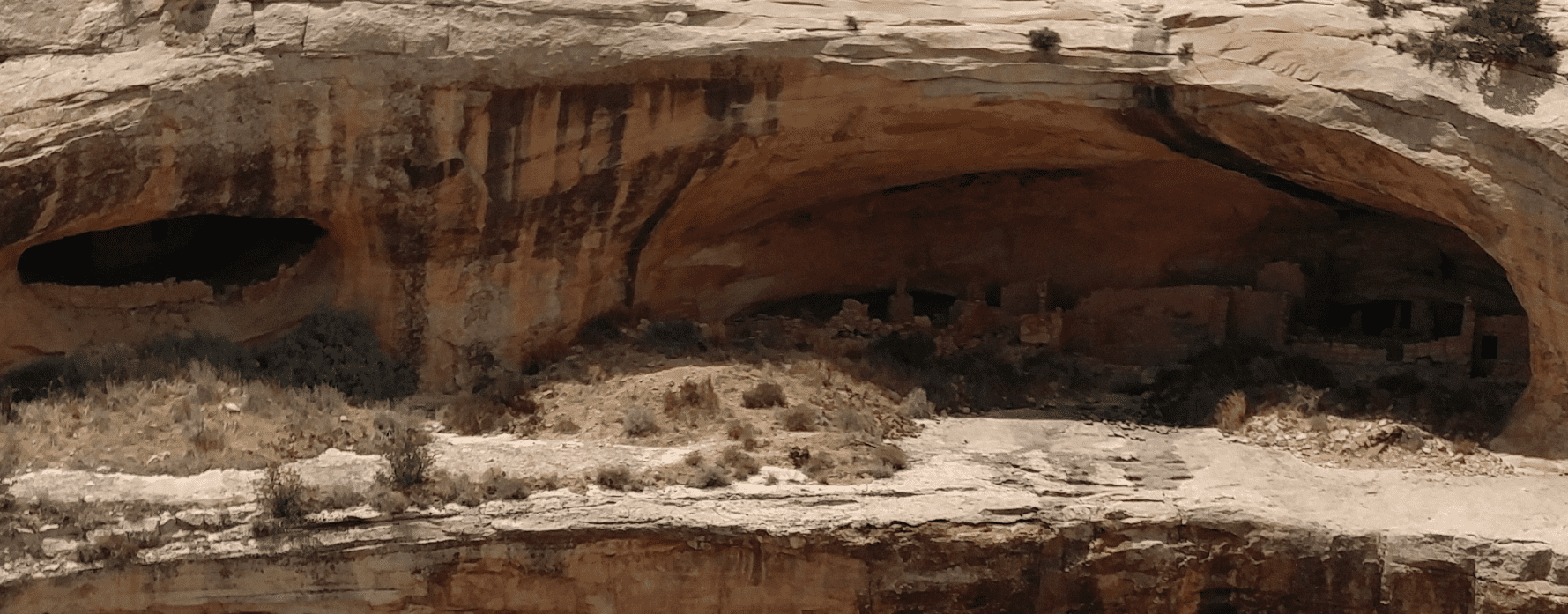
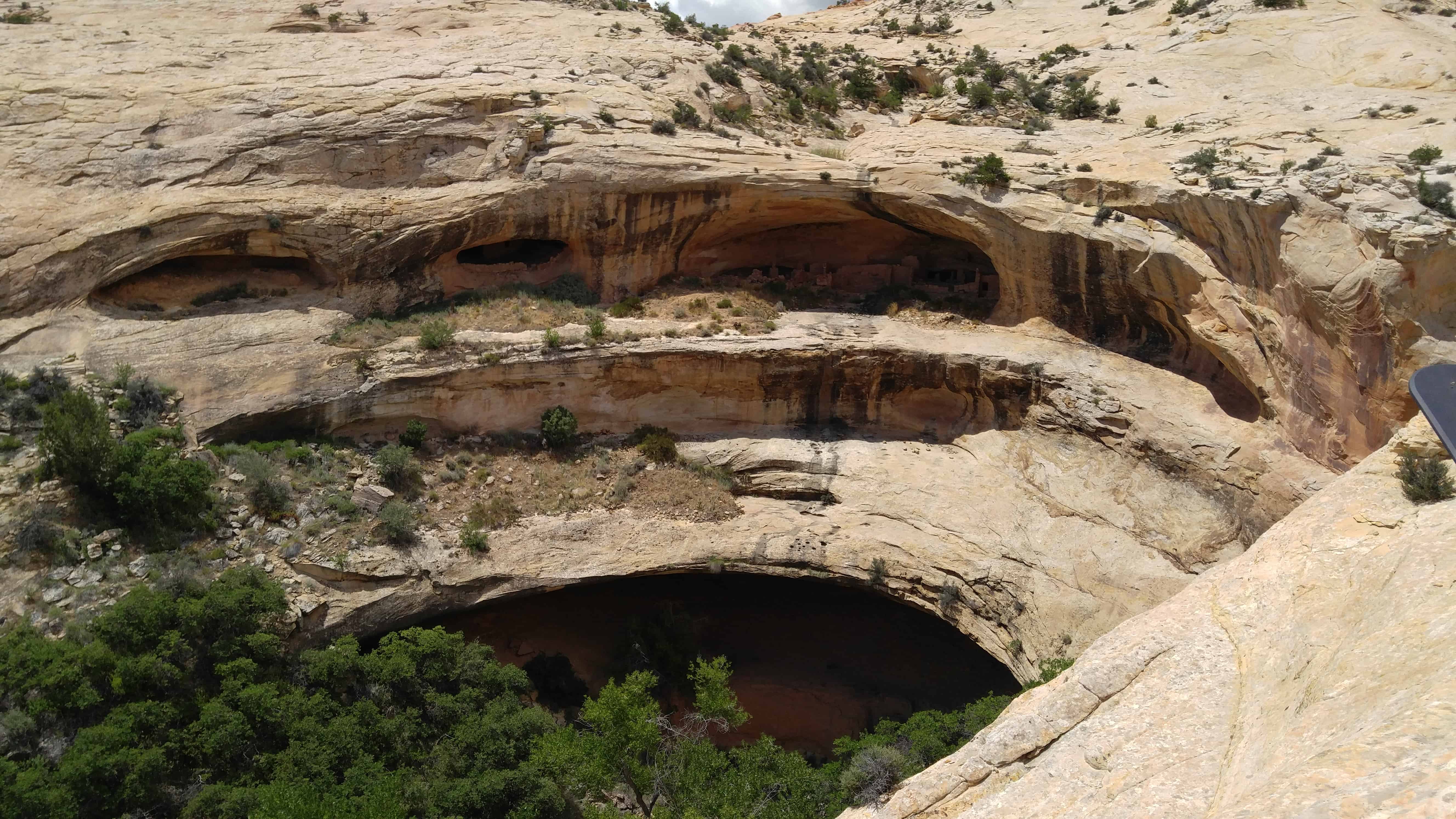
Butler Wash Ruin is a cliff dwelling that was built and occupied by the Ancestral Puebloans, sometimes known as Anasazi, in about 1200 AD. Parts of the site has been stabilized and reconstructed, but most of it remains as it was found in the 1800s. There are habitation, storage and ceremonial structures, including four kivas. This ruin is located in a side canyon of Butler Wash, on the east side of Comb Ridge.
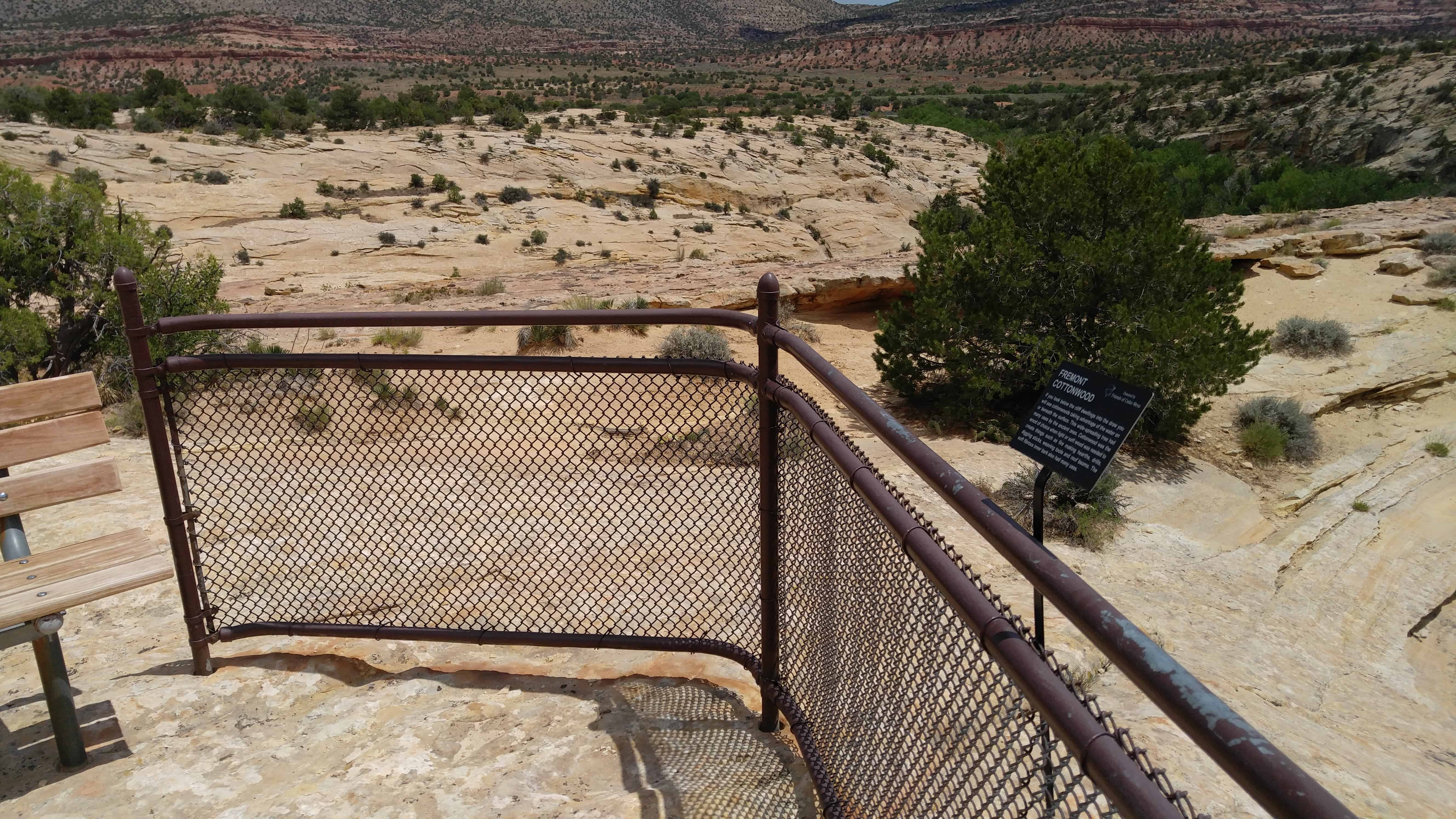
A BLM trail to the site winds its way across slickrock and washes to reach an overlook of the cliff dwelling. Round trip hiking distance is 1 mile and takes approximately a half hour. The difficulty is moderate. An interpretive sign is located at the overlook. Ample parking and a restroom is provided. There is no water at this site, and desert temperatures can be extremely hot and dry. Plan ahead and be prepared. Bring appropriate clothing and lots of water when visiting this site.
The hike from the parking lot to the overlook is an easy one, maybe half a mile to three-quarters of a mile. It was hot and I was out of shape so I whined a bit more than needed. Actually going to the ruins took a bit more effort, working the way south from the overlook down into the canyon and then a little rock climbing and scrambling to get up on the cliff over to the side of the ruins, then straight over.
The Butler Wash Archeological District was added to the National Register of Historic Places (#81000584) on July 11, 1981.