Tags
Boulder, City Hall Buildings, Garfield County, New Deal Funded, NRHP, PWA Moderne, PWA Projects, Schools, utah
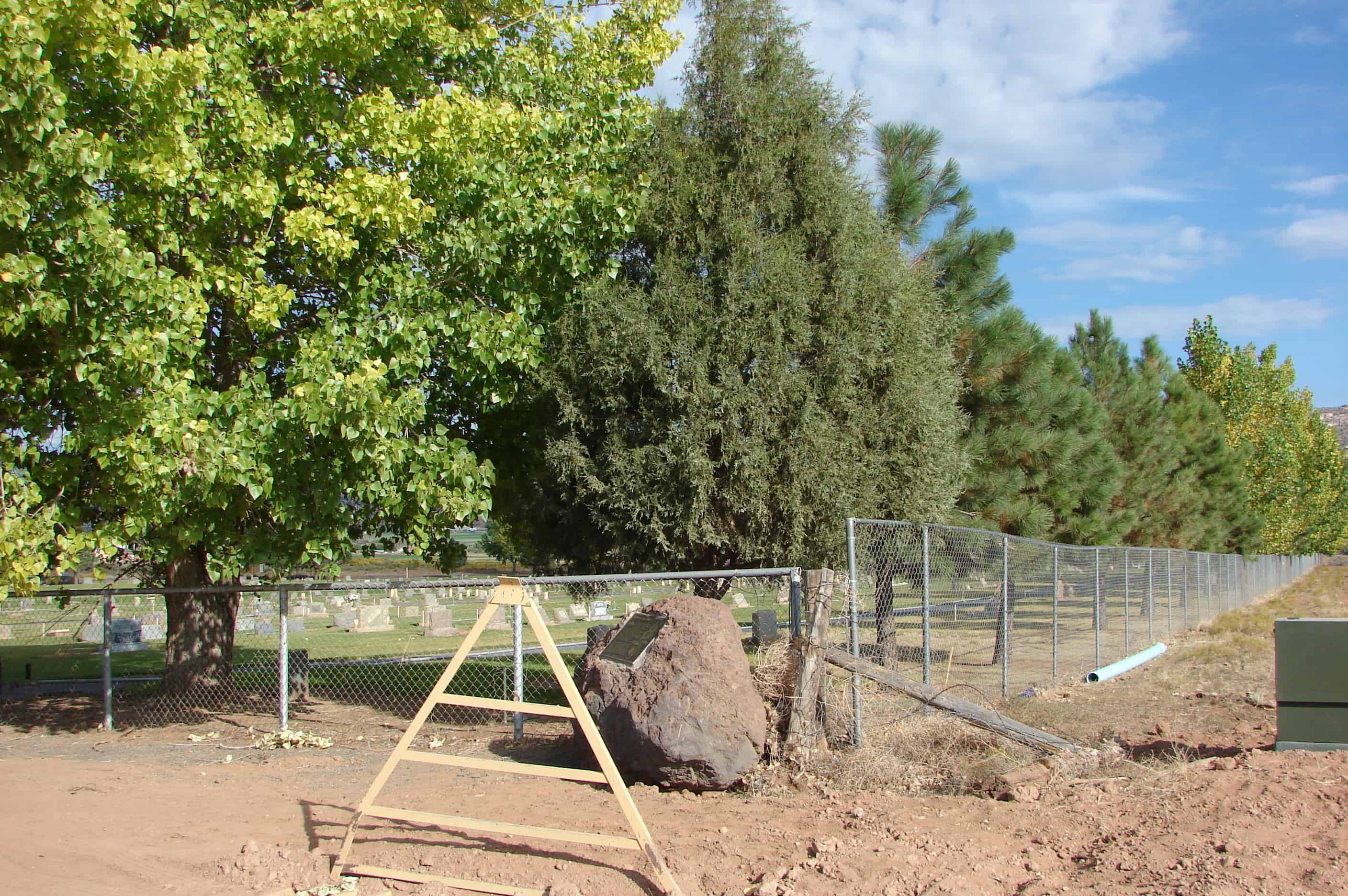
Boulder Elementary School
Built in 1935-36, the Boulder Elementary School is part of the Public o Works Buildings Thematic Resources nomination and is significant because it w helps document the impact of New Deal programs in Utah, which was one of the states that the Great Depression of the 1930s most severely affected. In 1933 Utah had an unemployment rate of 36 percent, the fourth highest in the country, and for the period 1932-1940 Utah’s unemployment rate averaged 25 percent. Because the depression hit Utah so hard, federal programs were extensive in the state. Overall, per capita federal spending in Utah during the 1930s was 9th among the 48 states, and the percentage of workers on federal work projects was far above the national average. Building programs were of great importance. During the 1930s virtually every public building constructed in Utah, including county courthouses, city halls, fire stations, national guard armories, public school buildings, and a variety of others, were built under federal programs by one of several agencies, including the Civil Works Administration (CWA), the Federal Emergency Relief Administration (FERA), the National Youth Administration (NYA), the Works Progress Administration (WPA), or the Public Works Administration (PWA), and almost without exception none of the buildings would have been built when they were without the assistance of the federal government.
Boulder Elementary School is located in 351 North 100 East in Boulder, Utah and was added to the National Register of Historic Places (#85000805) on April 1, 1985.
The Boulder Elementary School is one of 233 public works buildings identified in Utah that were built during the 1930s and early 1940s. Only 130 of the 233 buildings are known to remain today and retain their historic integrity. Of the 233, 107 were public school buildings and 55 of them remain. This is one of 43 elementary schools built, 19 of which remain. In Garfield County 7 buildings were constructed; 5 are left. The Boulder Elementary School was built in 1935 and 1936. Construction began in September of 1935 and was completed in the early spring of 1936. It was a Works Progress Administration (WPA) project. Superintendent of construction was Arthur McNelly of Escalante.
This is a one-story frame school building displaying the blending of classical and moderne elements that characterizes the PWA-sponsored architecture in Utah. It has a hipped roof over a basic rectangular plan. There is a projecting gabled porch on the front that contains a recessed entrance and small flanking windows. A long hipped roof extension on the rear appears to be original. The siding consists of narrow, 4″ clapboards and there is a plain cornice and frieze under the overhanging eaves. Classical motifs dominate the front entrance porch in the form of cornice returns, a pedimented head over the recessed doorway, and a transom above the door itself. The formality of the porch is broken by a zig-zag belt course that circles the building and gives it a sense of the abstract geometric quality associated with the moderne movement. The building remains in excellent original condition.