• About JacobBarlow.com
  • Cemeteries in Utah
  • D.U.P. Markers
  • Doors
  • Exploring Utah Email List
  • Geocaching
  • Historic Marker Map
  • Links
  • Movie/TV Show Filming Locations
  • Oldest in Utah
  • Other Travels
  • Photos Then and Now
  • S.U.P. Markers
  • U.P.T.L.A. Markers
  • Utah Cities and Places.
  • Utah Homes for Sale
  • Utah Treasure Hunt

JacobBarlow.com

~ Exploring with Jacob Barlow

JacobBarlow.com

Tag Archives: Clark County

Fremont Street

20 Sunday Nov 2016

Posted by Jacob Barlow in Uncategorized

≈ 6 Comments

Tags

Clark County, Las Vegas, Nevada

2017-08-02 21.34.47-1
2016-09-04-13-21-07

Fremont Street Posts:

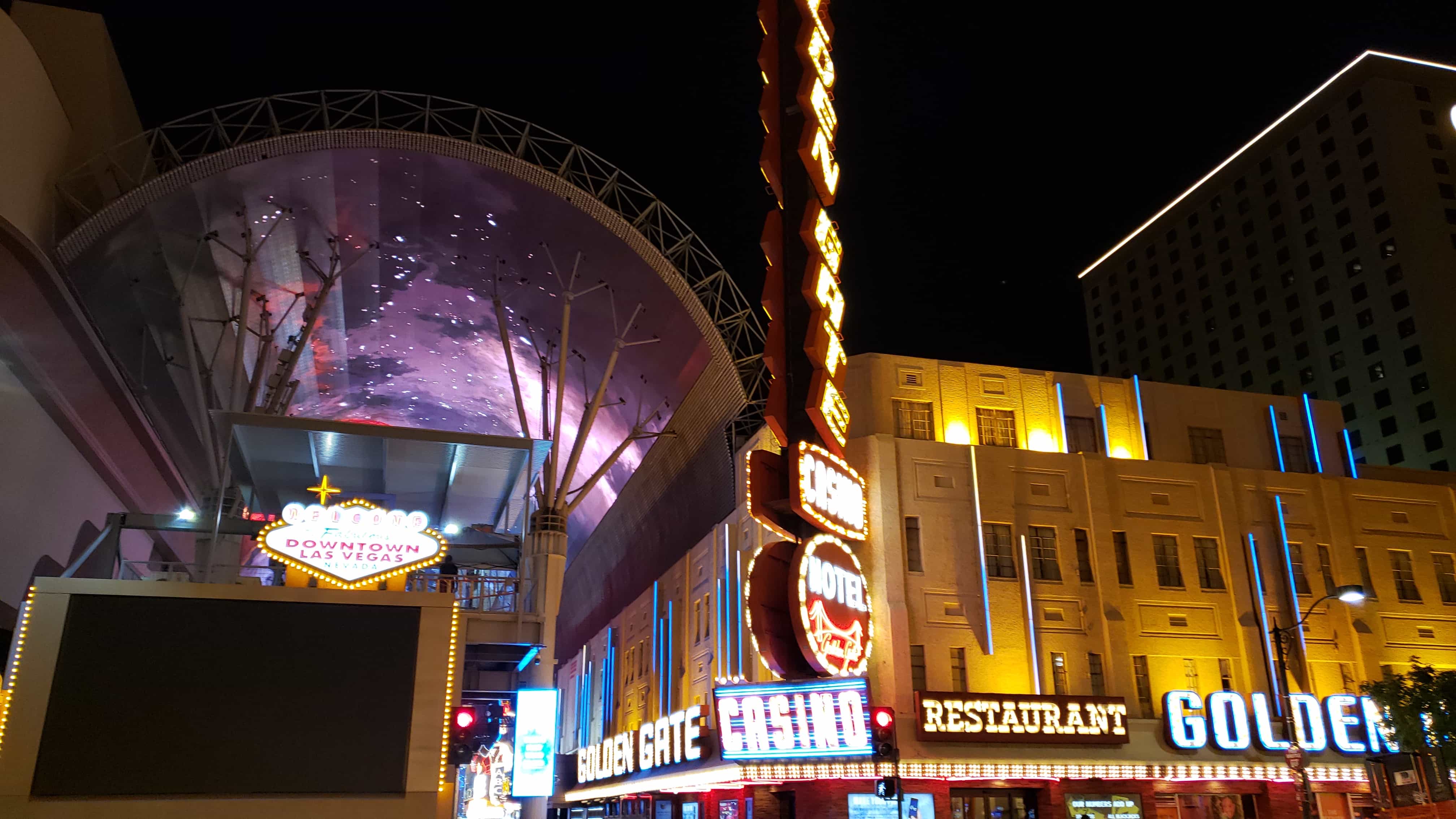
  • 1 – Golden Gate Hotel & Casino
  • 1 – First Phone in Vegas
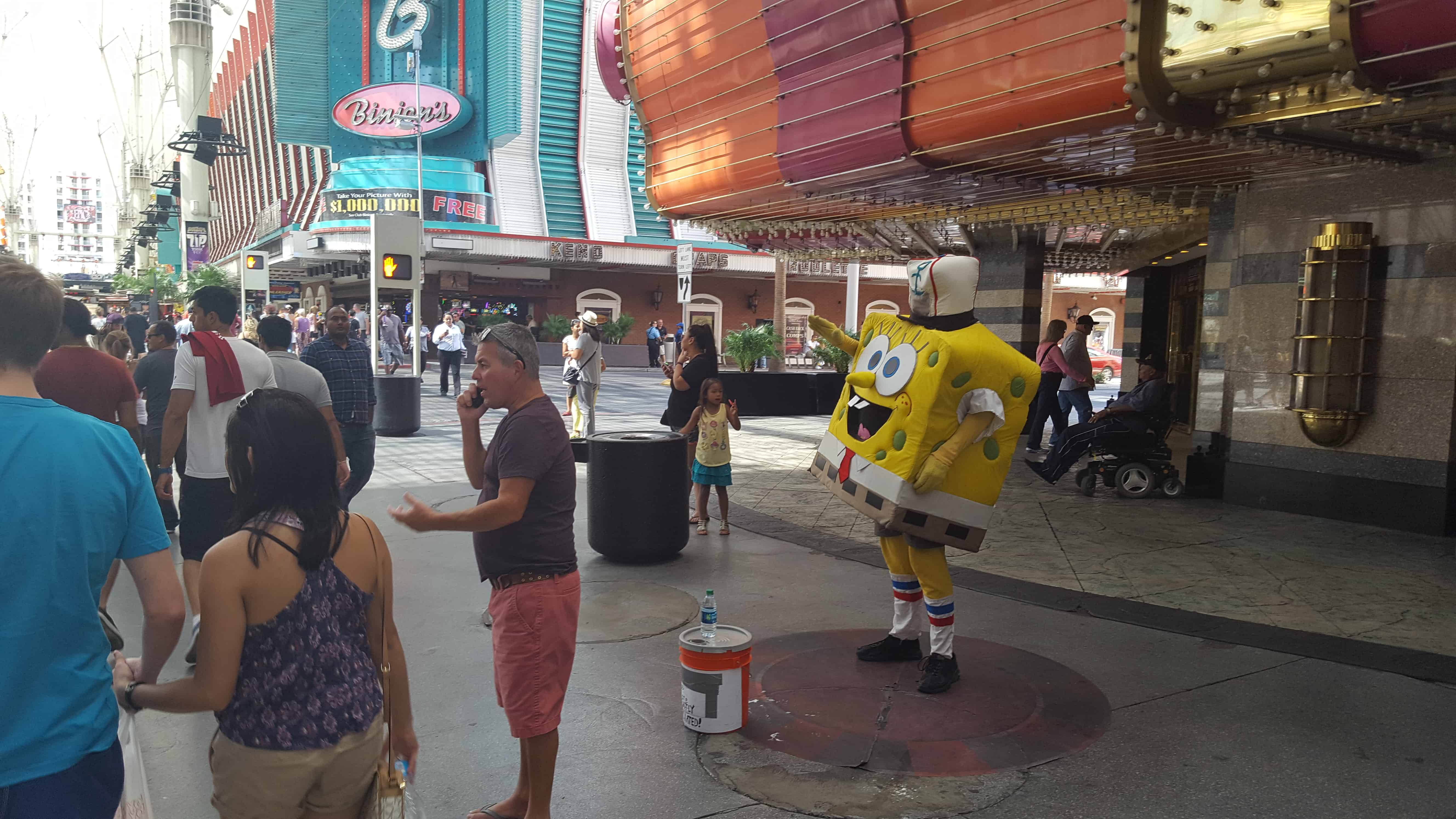
  • 128 Fremont – Binion’s Hotel Casino
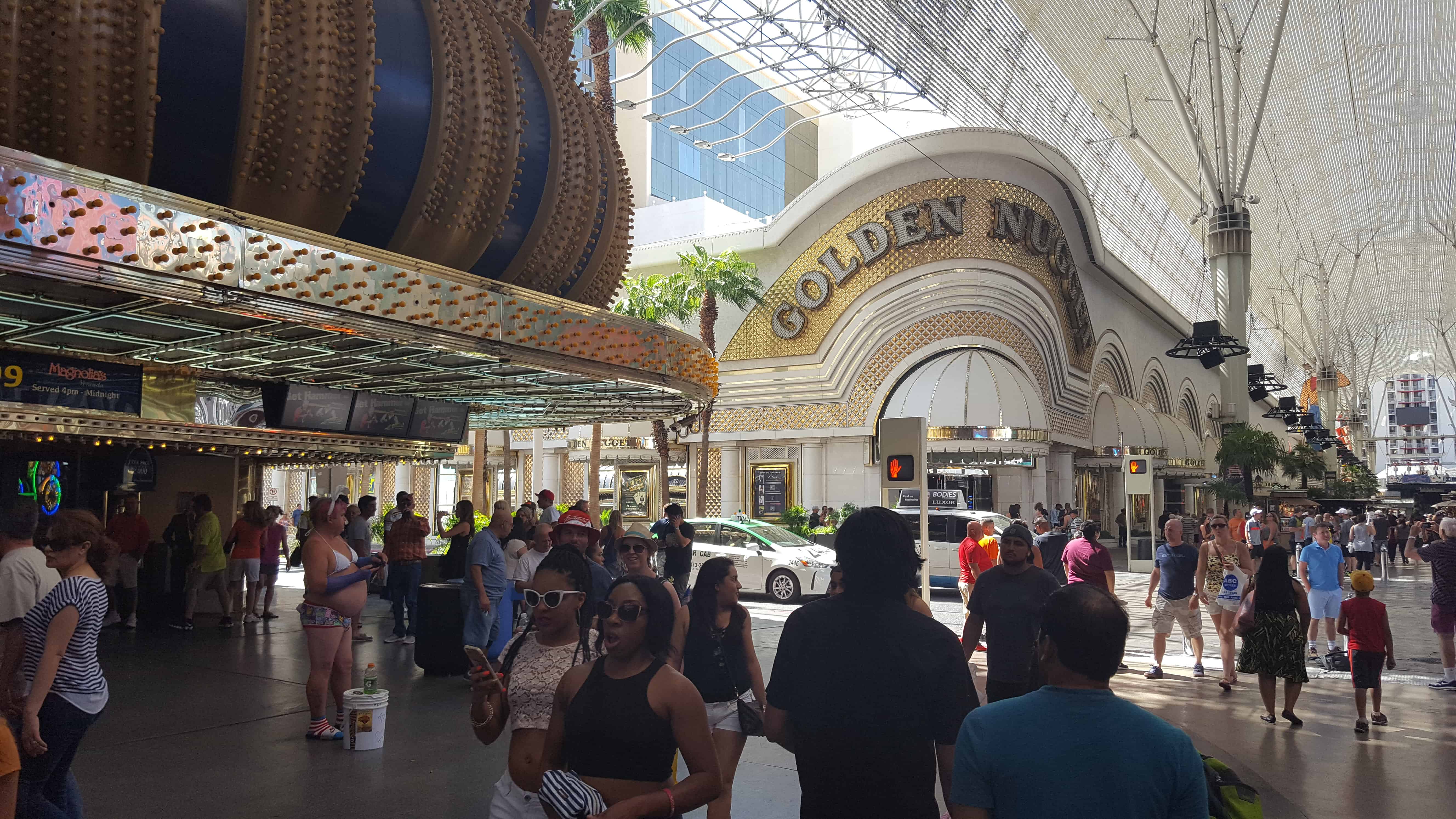
  • 129 Fremont – Golden Nugget
  • 200 Fremont – Fremont Casino
  • 202 Fremont – 4 Queens
  • 301 Fremont – The D
  • 310 – El Portal Theatre
  • 321 Fremont – Crazy Ely Western Village
  • 450 Fremont – Heart Attack Grill
  • 505 Fremont
  • 600 E Fremont St – El Cortez Hotel and Casino

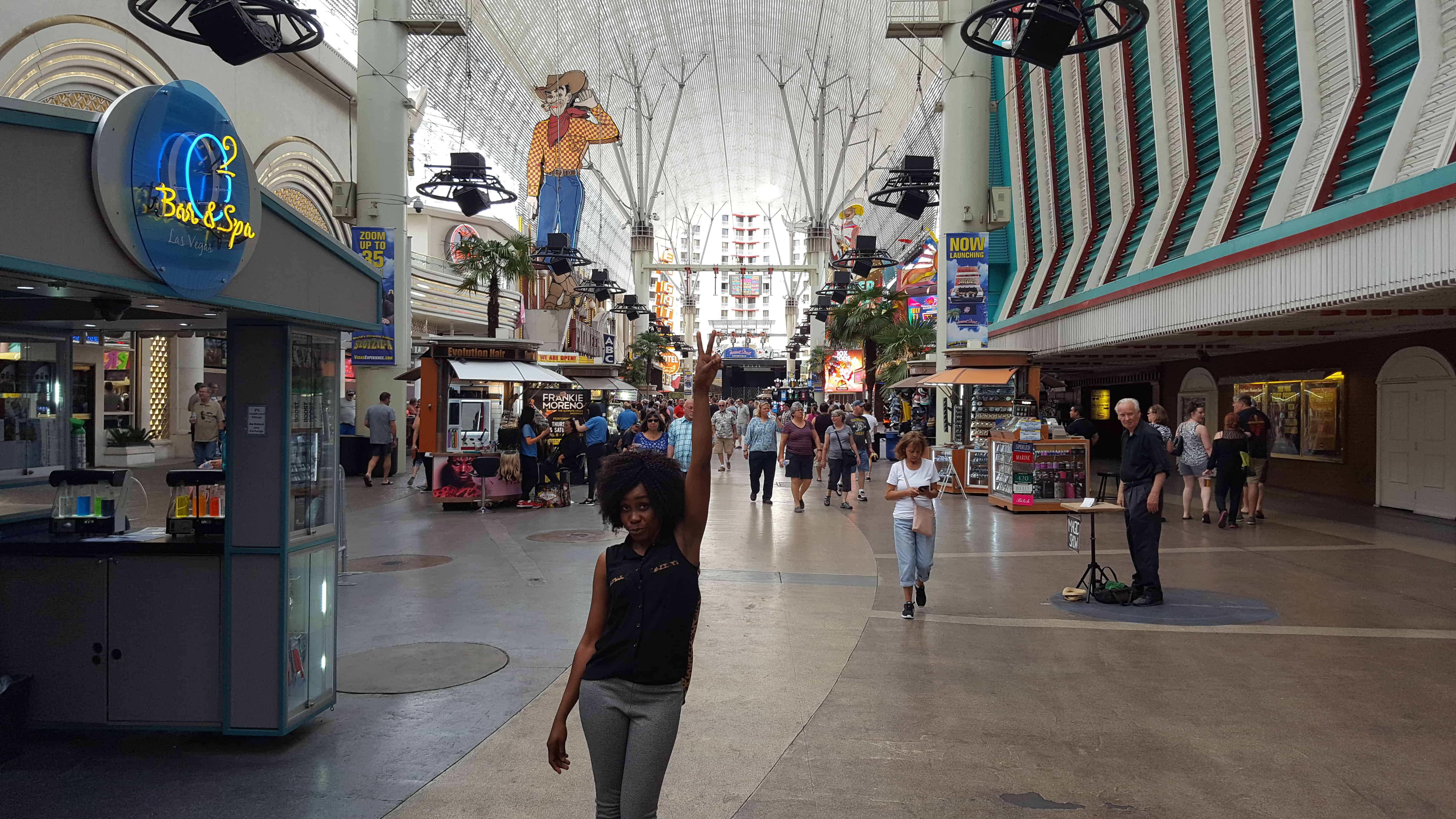
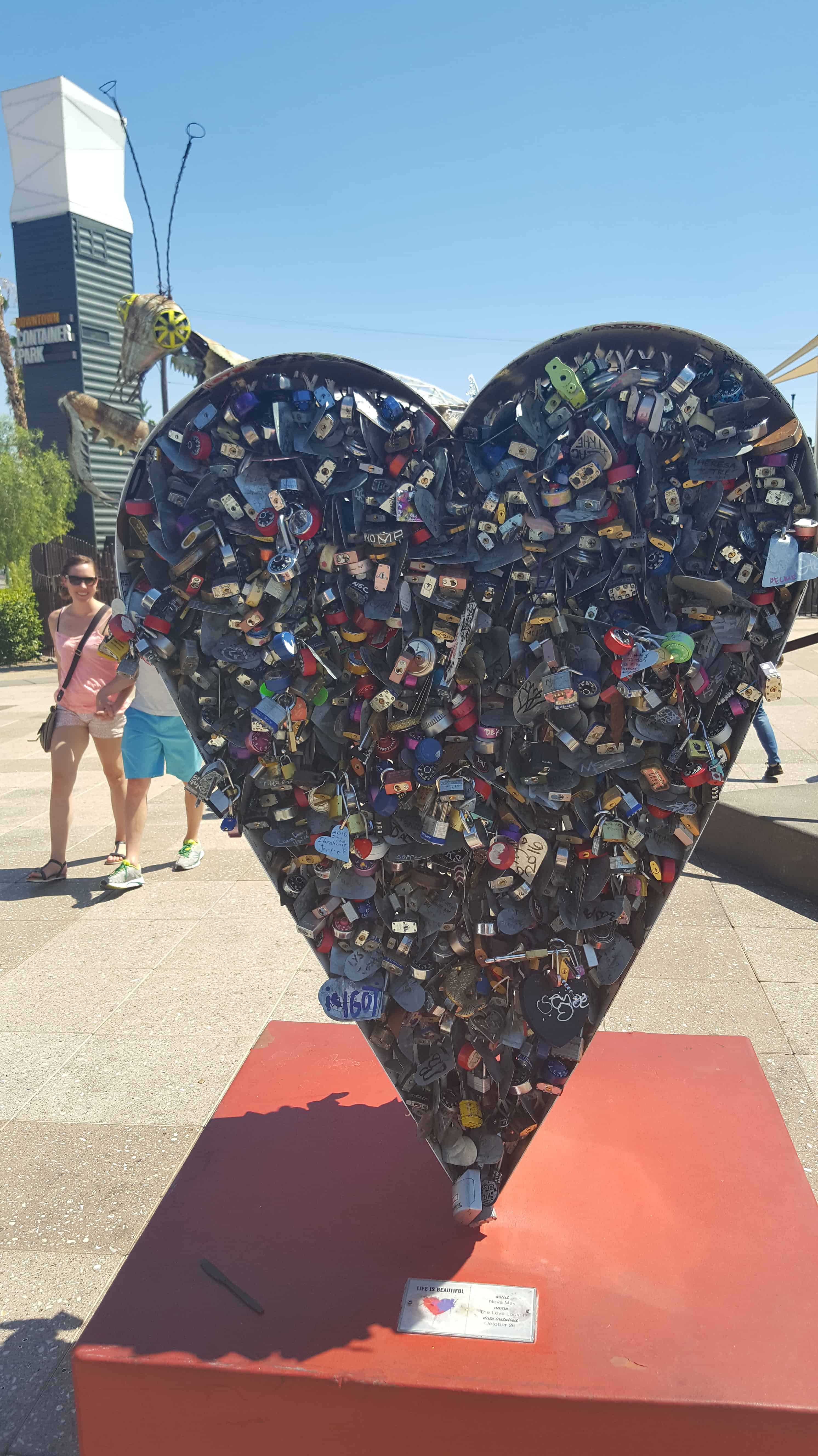
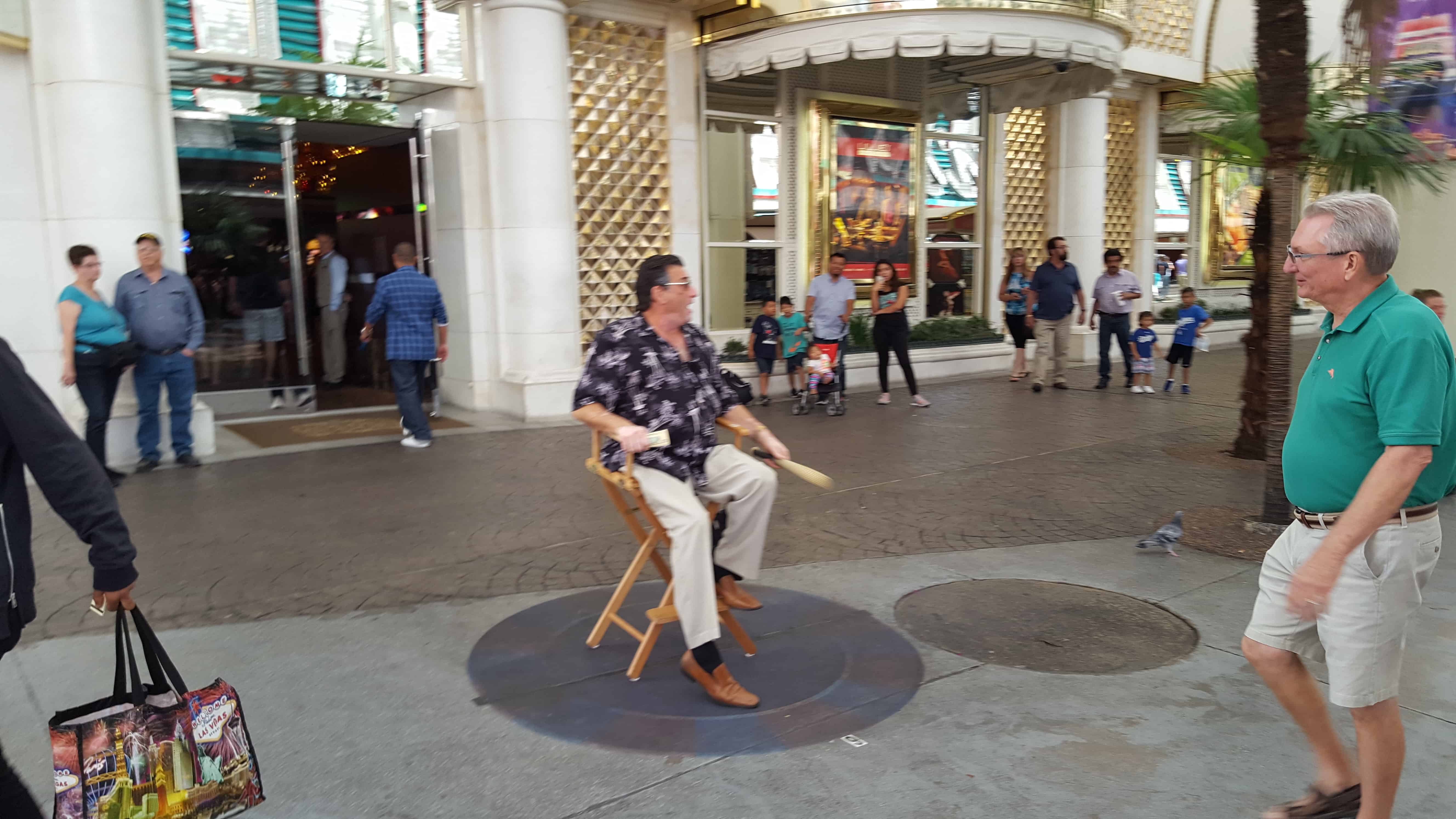
Fremont Street in Las Vegas, Nevada is a popular tourist location. named after John Fremont, an exploring in the area. There are many casinos, hotels, shops and activities and many people entertaining on the street.

2016-09-04-14-17-11
2016-09-04-14-14-26

Fremont Street dates back to 1905, when Las Vegas itself was founded. Fremont Street was the first paved street in Las Vegas in 1925 and received the city’s first traffic light in 1931. Fremont Street also carried the shields of U.S. Route 93 (US 93), US 95, and US 466 before the construction of the interstates.

While gambling was well established prior to being legalized, the Northern Club in 1931 received one of the first 6 gambling licenses issued in Nevada and the first one for Fremont Street.

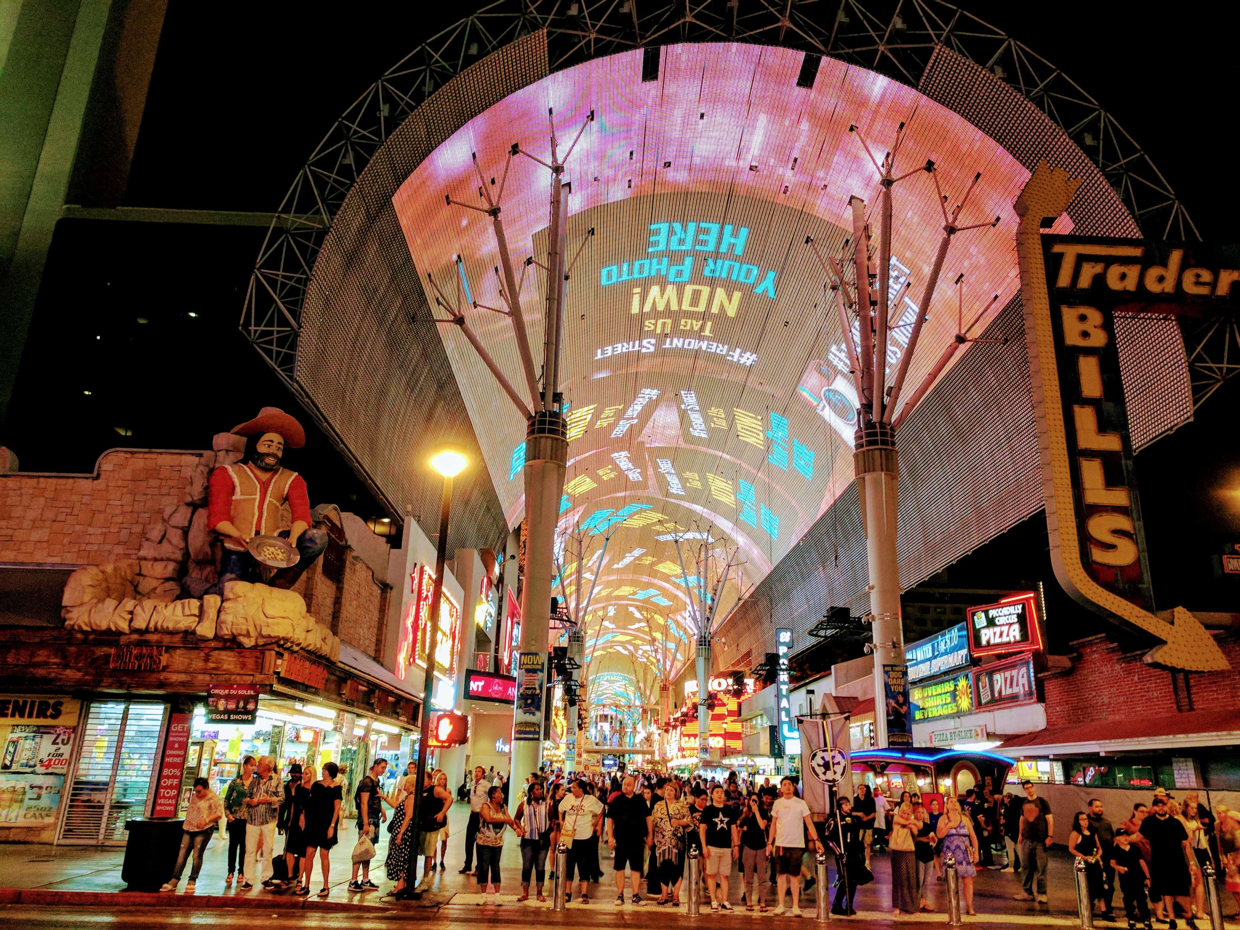
Glitter Gulch was closed to vehicle traffic in September, 1994 to begin construction on the Fremont Street Experience.

2017-05-06 12.34.07
2016-09-04-13-42-53
2017-08-02 21.12.47-1
2017-08-02 21.49.56
2017-08-02 22.04.04

Logandale, Nevada

20 Sunday Nov 2016

Posted by Jacob Barlow in Uncategorized

≈ 2 Comments

Tags

Clark County, Logandale, Nevada

picture27dec07-031

Established on the west side of the Muddy River in 1865, Logandale was originally named West Point. It was enlarged and renamed Saint Joseph in 1868, by settlers driven out of their first town of Saint Joseph, Nevada on the east side of the Muddy River when it burned down. It also acquired the post office established in the old town on August 26, 1867.

The new Saint Joseph like the other Mormon settlements in the Moapa Valley was abandoned in 1871 due to a tax dispute with the state of Nevada. Its post office closed in October 1871 but became active again on in May 1876. Following the Mormon return to Overton in 1880, in November 1883 the post office operations were moved there.

The town was later to begin to revive in 1912 around a railroad station with the name Logan, for a Civil War veteran who settled on the abandoned town site. It was subsequently renamed Logandale to avoid confusion with Logan, Utah.

Graceland Wedding Chapel

02 Wednesday Nov 2016

Posted by Jacob Barlow in Uncategorized

≈ 1 Comment

Tags

Chapels, Clark County, Las Vegas, Nevada

2016-09-04-12-45-24

The Graceland Chapel has been a part of the Las Vegas Strip for almost 70 years and is one of the most prominent chapels for a wedding in Las Vegas. A Las Vegas wedding is one of the most appealing wedding ideas to celebrities too. Jon Bon Jovi was married here and in 2001, actually held a concert in our parking lot with 75 couples who renewed their vows with him!
Other musicians such as Billy Ray Cyrus, Aaron Neville and members of popular groups such as Def Lepard, KISS, Deep Purple and The Thompson Twins have all tied the knot here as well. Last year Jay Leno even stopped by with plenty of entourage to check out the chapel.(*)

2016-09-04-12-44-02
2016-09-04-12-44-21
2016-09-04-12-44-32
2016-09-04-12-45-07

Lost Vegas Antiques

23 Sunday Oct 2016

Posted by Jacob Barlow in Uncategorized

≈ 1 Comment

Tags

Antiques, Clark County, Las Vegas, Nevada

2016-09-04-12-36-30

A pretty cool shop I stopped to take a look at while exploring Las Vegas.

2016-09-04-12-21-51
2016-09-04-12-24-18
2016-09-04-12-35-36
2016-09-04-12-35-55
2016-09-04-12-36-32
2016-09-04-12-36-45
2016-09-04-12-37-28
2016-09-04-12-38-02
2016-09-04-12-38-13
2016-09-04-12-38-46
2016-09-04-12-38-51
2016-09-04-12-40-31

Lake Mead Overlook

16 Sunday Oct 2016

Posted by Jacob Barlow in Uncategorized

≈ 2 Comments

Tags

Boulder City, Clark County, Colorado River, Dams, Hoover Dam, Nevada

2016-09-05-10-13-24

More Lake than the Eye Can See…

The blue water before you is the western end of Lake Mead.  From this overlook, a mere ten percent of the 110-mile long man-made reservoir is visible.  Hoover Dam, seven miles to the east, has turned the sometimes violent Colorado River into the still waters of Lake Mead.  Today, Hoover Dam delivers irrigation, drinking water and hydroelectric power to Nevada, Arizona and Southern California.

Boulder City, the city that built Hoover Dam.

When the U.S. government started dam construction in 1931, on-site housing was needed for thousands of workers.  Boulder City grew out of the desert to meet this demand, becoming the first planned community in the United States.  Historic Boulder City is now the gateway to year-round water sports and backcountry adventures available at Lake Mead National Recreation Area.

Lake Mead National Recreation Area

16 Sunday Oct 2016

Posted by Jacob Barlow in Uncategorized

≈ 2 Comments

Tags

Clark County, Lake Mead, Nevada

2016-09-05-10-17-56

Lake Mead National Recreation Area is a U.S. National Recreation Area located in southeastern Nevada and northwestern Arizona. Operated by the National Park Service, Lake Mead NRA follows the Colorado River corridor from the westernmost boundary of Grand Canyon National Park to just north of the cities of Laughlin, Nevada and Bullhead City, Arizona. It includes all of the eponymous Lake Mead as well as the smaller Lake Mohave – reservoirs on the river created by Hoover Dam and Davis Dam, respectively – and the surrounding desert terrain and wilderness.

See also, Lake Mead Overlook.

Overton, Nevada

01 Saturday Oct 2016

Posted by Jacob Barlow in Uncategorized

≈ 5 Comments

Tags

Clark County, Nevada, Overton

a471d9a2-2764-4a43-81fa-508f8a1faeec

Overton was originally settled in 1869 with Helaman Pratt serving as branch president. A regular LDS branch was organized there in 1883. In the 1880s, Overton was the location of the only store in the lower Moapa Valley and attracted people from neighboring localities who arrived in Overton to buy supplies. In the 1930s, the town of St. Thomas was submerged by water as Lake Mead was being filled, and the majority of its population relocated to Overton. After that, Overton developed as the main core of the business community in the lower Moapa Valley. It also hosted most of the social events in the area.

Related:

  • Bishops Storehouse
  • Hillside Letter M
  • Jones Hotel
  • Lost City Museum
  • Old Hospital
  • Overton (historic marker) at the LDS Moapa Stake Office Building
  • Pueblo Grande de Nevada
  • Overton posts sorted by address
34b53ec8-3fdf-416f-9a62-5efe792c0f24

picture27dec07-020

Jean’s Giant Miner

01 Saturday Oct 2016

Posted by Jacob Barlow in Uncategorized

≈ 1 Comment

Tags

Clark County, Ginormous Everyday Objects, Jean, Mining, Nevada

  • 5b8c5f50-b62b-46ec-978b-00e70b30c878

Jean, Nevada and a huge miner near the parking lot entrance.

445b24b4-d406-4ac4-8db7-893e500bf1c7
a2ae0e3b-cab1-4606-acab-81cc7ab12eb6

Pueblo Grande de Nevada

15 Thursday Sep 2016

Posted by Jacob Barlow in Uncategorized

≈ 4 Comments

Tags

Clark County, historic, Moapa, Moapa Valley, Nevada, Overton

picture27dec07-027

Indians of a highly developed civilization lived throughout Moapa Valley from 300-1100 A.D. Several hundred ancient pithouses, campsites, rockshelters, salt mines and caves of Anasazi people make up what is commonly known as “Lost City.” These people cultivated corn, beans and squash in fields irrigated by river water. They also gathered wild seeds and fruits and hunted widely for deer, antelope, desert bighorn sheep, small mammals and birds. They wove fine cotton cloth, fired beautifully painted and textured pottery and mined and traded salt and turquoise to coastal tribes for seashells. Early dwellings were circular pithouses below ground; later dwellings above ground were single-story adobes having up to 100 rooms.

Lake Mead, created by Hoover Dam, flooded the most intensively developed portion of Lost City.

This is Nevada State Historical Marker #41, located on State Route 169 two miles south of Overton, Nevada. See others on this page:

  • Nevada Historic Markers

picture27dec07-026

Pueblo Grande de Nevada was added to the National Register of Historic Places (#82000612) on October 8, 1982.

The Lost City Museum

12 Monday Sep 2016

Posted by Jacob Barlow in Uncategorized

≈ 3 Comments

Tags

CCC, Clark County, historic, museums, Nevada, NRHP, Overton

6362f5fd-4fbc-497f-9183-465a5874a237

The Lost City Museum occupies a little knoll just south of Overton. This region was once a westernmost outpost of the Anasazi, the Ancient Ones, and the museum exhibits one of the most complete collections of artifacts of the early Pueblo Indians in the Southwest. The exhibit begins with the mammoth hunters of the Desert Culture 10,000 years ago, then continues through successive phases of Pueblo culture as their settlements grew up along the river courses where they farmed. They built irrigation canals, and homes like hives of mud and sticks. Most of their structures were modest, but some were immense and complex. The largest found at “El Pueblo Grande de Nevada” — Lost City — had 94 rooms.

Twelve hundred years ago their flourishing villages stretched up the Virgin and the Muddy Rivers, with El Pueblo Grande de Nevada dominating the peninsula at the joining of the rivers. Five hundred years later they had abandoned their homes and farms and gone.

The exhibits continue with the Paiute people who still live in the area, and with the Mormon farmers who were the first of the present migratory wave to arrive from the east.

In addition to the exhibits, and the store selling nice examples of Native American workmanship, a small Pueblo residence cluster was constructed on an original foundation as a CCC project during the 1930s. It is as exact a replica as governmental hands can build, and as long as you don’t climb on the fragile tops of the structures, you can crawl inside and see life from the Anasazi perspective.

Originally the Boulder Dam Park Museum, it was added to the National Register of Historic Places (#96000126) on February 22, 1996. The address is 721 South Moapa Valley Boulevard in Overton, Nevada.

← Older posts
Newer posts →

Follow Jacob

Follow Jacob

Blog Stats

  • 2,064,993 hits

Social and Other Links

BarlowLinks.com

Recent Posts

  • The Heinrich Gubler Home
  • The Temple Quarry
  • The Old Settler’s “Swallow’s Nest”
  • Arthur Miles Home
  • Navajo Shadehouse Museum

Archives

Loading Comments...