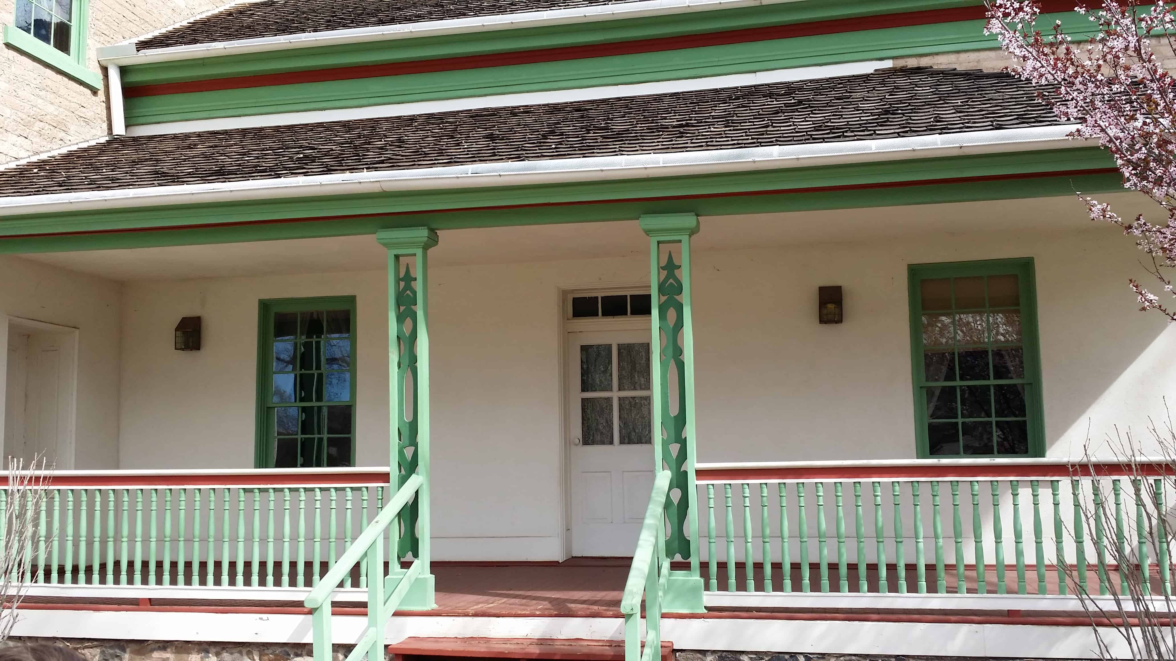
Rockville lies just outside the park boundary for Zion National Park; the park entrance is located approximately 5 miles northeast of the town.
Four miles southwest of Springdale. It was originally settled in late 1860 and early 1861 under the direction of Mormon Apostle Orson Pratt. The original name was Adventure but it was subsequently changed to Rockville because of the rocky soil and surroundings along the Virgin River.
This page is for the Historic Marker that was located here, for a more detailed history of the Mountain Meadows Massacre visit this page.
SUP/UPTLA Marker #17
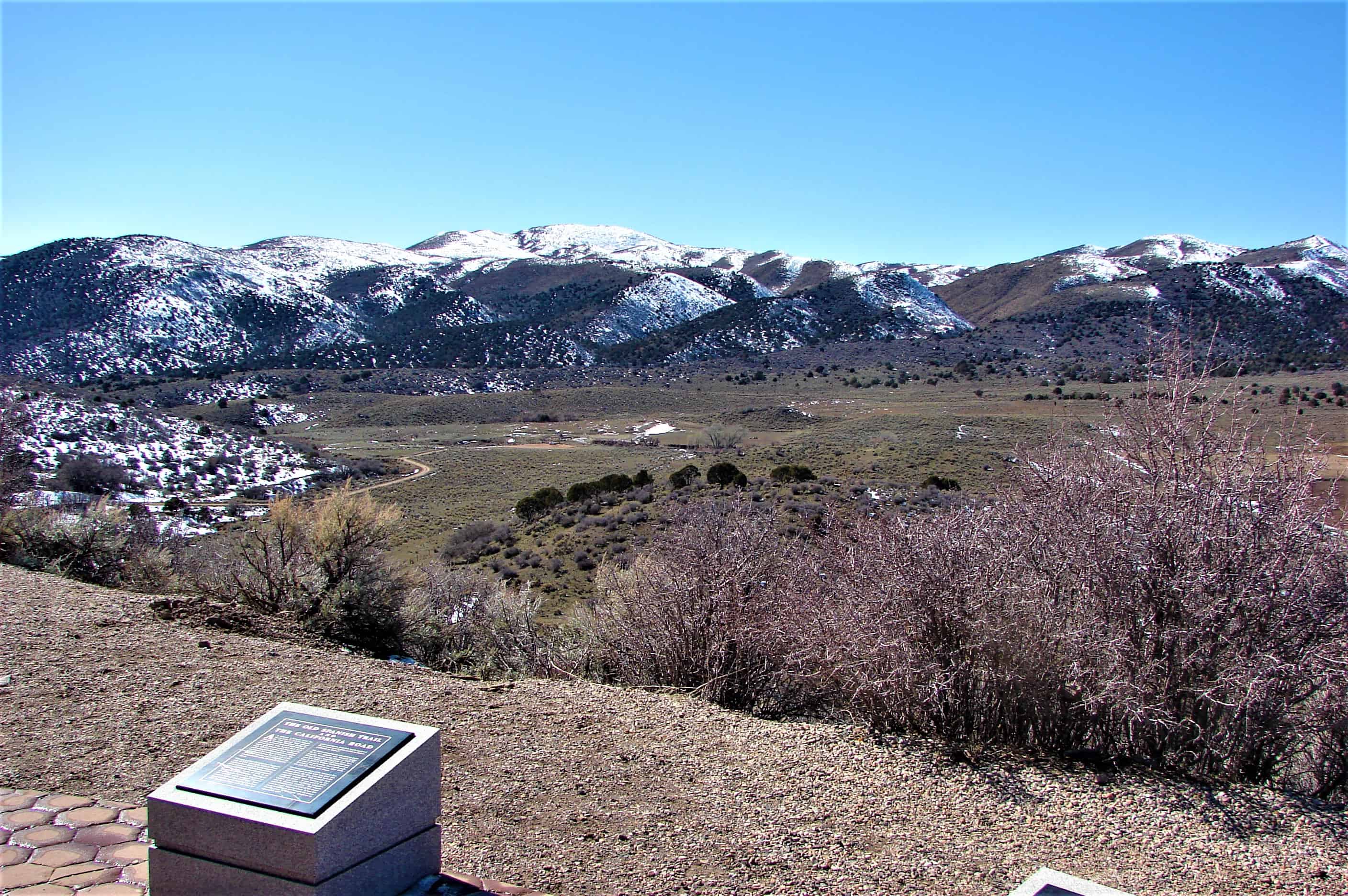
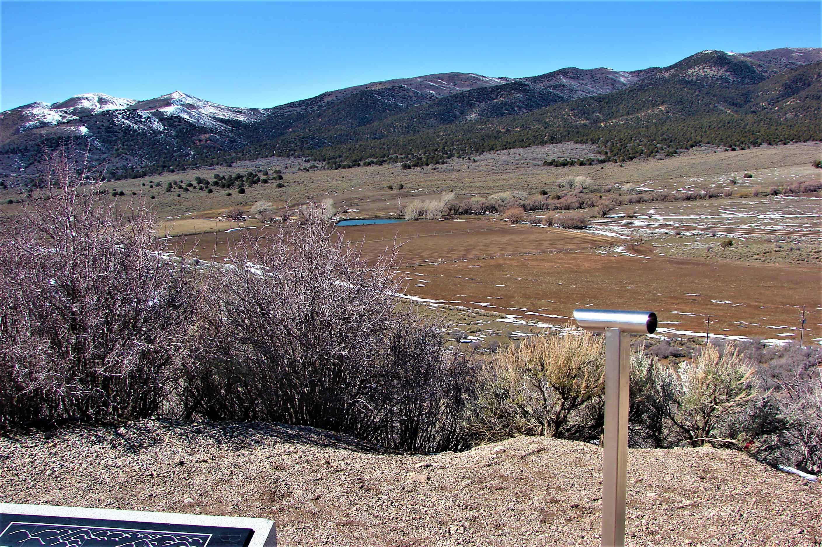
Location: <<Monument is retired)>> This plaque is now in the LDS Museum of Church History and Arts. It was moved when the monument on which it was mounted, was destroyed when remains of the victims were dug up accidentally and reburied in 1999, and new monuments were built and dedicated. Rededicated 1990, removed in 1999. The plaque reads: MOUNTAIN MEADOWS A favorite Recruiting place on the Old Spanish Trail. In this vicinity, September 7 – 11, 1857, occurred one of the most lamentable tragedies in the annals of the west. A company of about 140 Arkansas and Missouri emigrants led by Captain Charles Fancher, enroute to California, was attacked by white men and Indians. All but 17, being small children, were killed. John D. Lee, who confessed participation as leader, was legally executed here March 23, 1877. Most of the emigrants were buried in their own defense pits. This monument was reverently dedicated September 10 – 1932, by the Utah Pioneer Trails and Landmarks Association and the people of Southern Utah.
The Mountain Meadows massacre was a series of attacks on the Baker–Fancher emigrant wagon train at Mountain Meadows in southern Utah. The attacks culminated on September 11, 1857, with the mass slaughter of most in the emigrant party by members of the Utah Territorial Militia from the Iron County district, together with some Paiute Native Americans.
The wagon train, mostly families from Arkansas, was bound for California on a route that passed through the Utah Territory during a conflict later known as the Utah War. After arriving in Salt Lake City, the Baker–Fancher party made their way south, eventually stopping to rest at Mountain Meadows. While the emigrants were camped at the meadow, nearby militia leaders, including Isaac C. Haight and John D. Lee, made plans to attack the wagon train.
The militia, officially called the Nauvoo Legion, was composed of Utah’s Mormon settlers (members of The Church of Jesus Christ of Latter-day Saints or LDS Church). Intending to give the appearance of Native American aggression, their plan was to arm some Southern Paiute Native Americans and persuade them to join with a larger party of their own militiamen—disguised as Native Americans—in an attack. During the militia’s first assault on the wagon train, the emigrants fought back and a five-day siege ensued. Eventually fear spread among the militia’s leaders that some emigrants had caught sight of white men and had likely discovered the identity of their attackers. As a result militia commander William H. Dame ordered his forces to kill the emigrants.
By this time the emigrants were running low on water and provisions, and allowed some approaching members of the militia—who carried a white flag—to enter their camp. The militia members assured the emigrants their protection and escorted them from the hasty fortification. After walking a distance from the camp, the militiamen, with the help of auxiliary forces hiding nearby, attacked the emigrants. Intending to leave no witnesses and thus prevent reprisals, the perpetrators killed all the adults and older children (totaling about 120 men, women, and children). Seventeen children, all younger than seven, were spared.
Following the massacre, the perpetrators hastily buried the victims, leaving the bodies vulnerable to wild animals and the climate. Local families took in the surviving children, and many of the victims’ possessions were auctioned off. Investigations, temporarily interrupted by the American Civil War, resulted in nine indictments during 1874. Of the men indicted, only John D. Lee was tried in a court of law. After two trials in the Utah Territory, Lee was convicted by a jury, sentenced to death, and executed by Utah firing squad on March 23, 1877.
Today historians attribute the massacre to a combination of factors, including war hysteria about possible invasion of Mormon territory, and hyperbolic Mormon teachings against outsiders which were part of the excesses of the Mormon Reformation period. Scholars debate whether senior Mormon leadership, including Brigham Young, directly instigated the massacre or if responsibility lay with the local leaders in southern Utah.
See other historic markers in the series on this page for UPTLA/SUP Markers.
Virgin was first settled by whites in 1857 six miles east of La Verkin. The site is enclosed by red sandstone cliffs and had an early name of pocketville because the local Indian name meant a pocket or hole. The settlement soon took the name of the nearby Virgin River.
In May 2000, a law was passed which required every homeowner to keep and maintain a firearm. This was highlighted in Michael Moore’s 2002 film Bowling for Columbine. Exceptions to this law include “the mentally ill, convicted felons, conscientious objectors and people who cannot afford to own a gun”.
This monument is near the spot where a celebration took place on Aug. 06, 1904. After nearly eleven years of arduous work on the canal, water was ready for diversion onto the land.
“Five or six wagon loads of people came from the little towns nearby. The crowd was solemn but happy.”
They let out a big shout as the water gushed down the hill. Names for the new city to be were discussed and voted upon.
We thank God for these pioneers of our valley.
For the complete story visit Pioneer Park.
See other historic markers in the series on this page for SUP Markers.
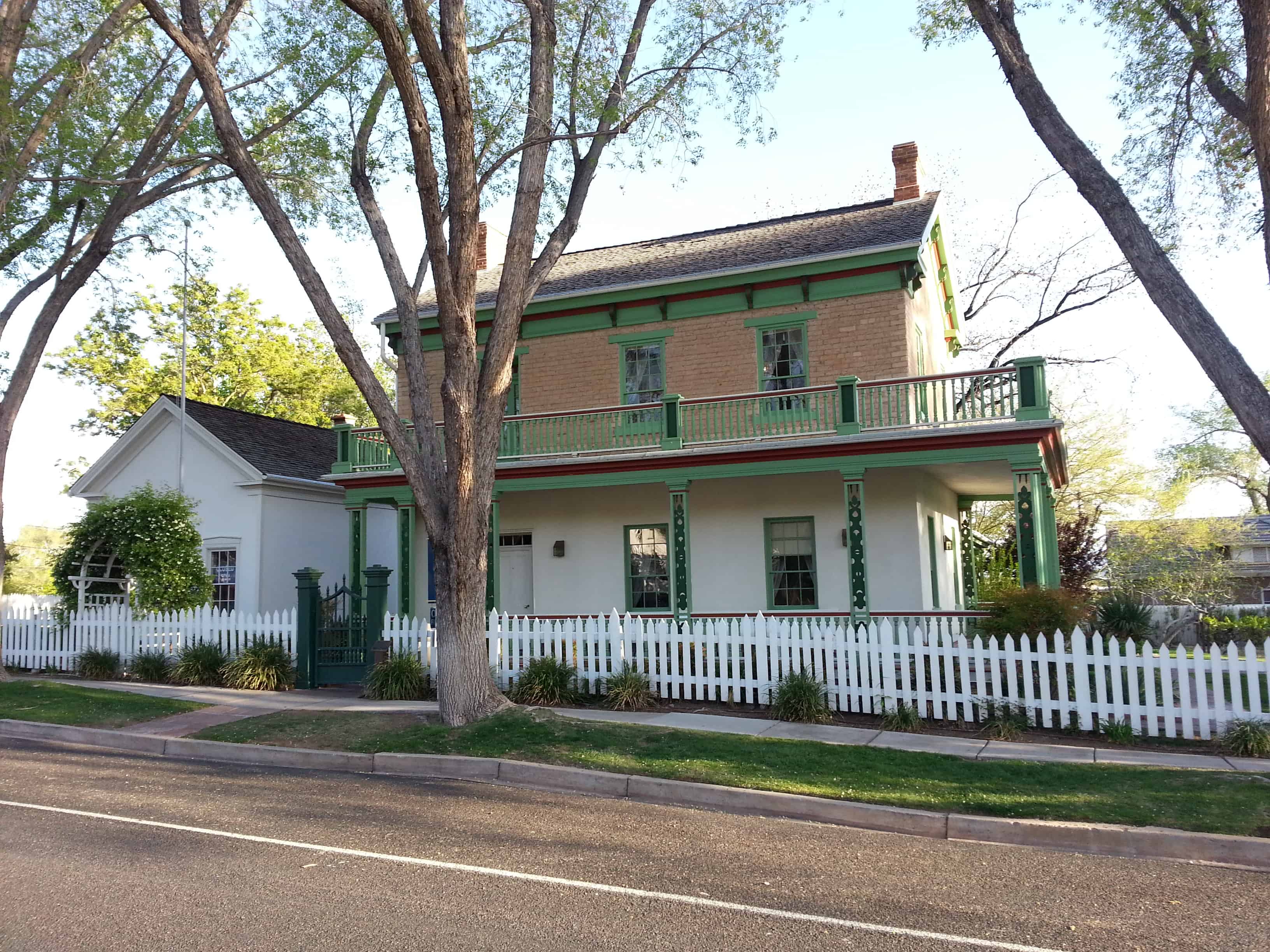
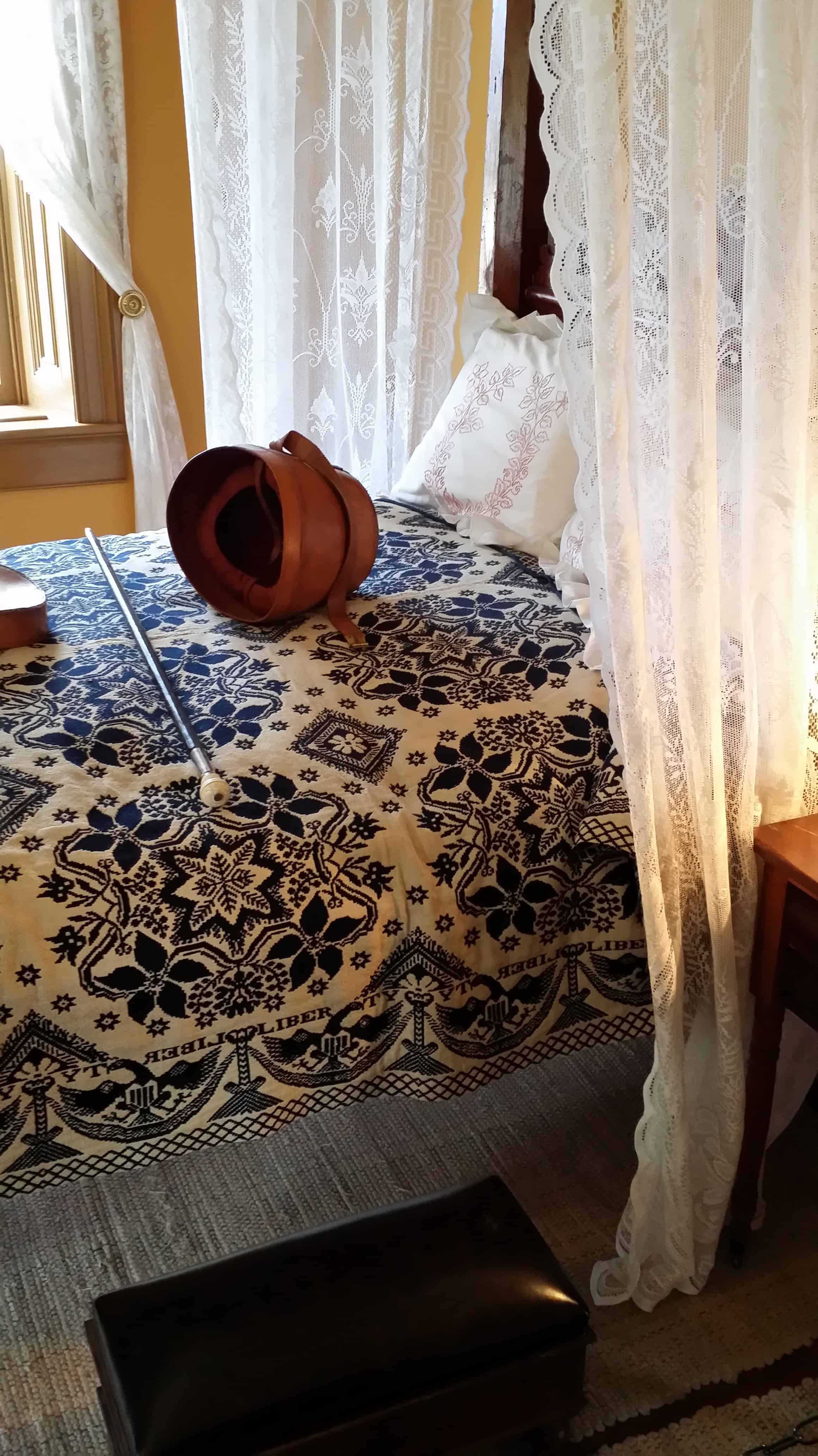
The original portion of this home was begun in 1869 and completed in 1871. When Brigham Young purchased it he added the front addition which was completed in 1873. It served as his winter home from that time until his death in 1877.
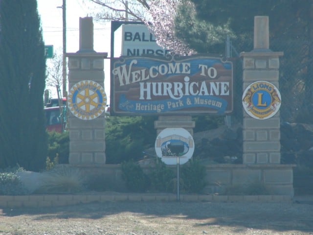
The Paiute Indians called the area Timpoweap, “Rock Canyon”. It is a deep gorge where the Virgin River emerges from the Hurricane Fault. The town of Hurricane lies below the fault to the south of the river and the community of La Verkin. Hot sulphur springs boil up from the bottom and sides of the river on the fault line. About one mile below the hot springs the conjoined streams of Ash Creek and La Verkin Creek make a common confluence with the Virgin River. It is a site of great historical significance.
Dominguez and Escalante in 1776 made the first historical reference to American irrigation as they observed it at this watercourse confluence: it was a Paiute Indian farm and remains a farm to this day. There are those who say that mountain men Jedediah Smith, George C. Yount, and William Wolfskill passed this way. For certain, the Parley P. Pratt southern expedition of 1849-50 and the John Steele–J.C.L. Smith exploration of 1852 along the Markagunt Plateau and Upper Virgin River used this river junction as a landmark. It was a place that could be forded.
The river has cut deep into the volcanic walls of Timpoweap Canyon, thus making it impossible to take water directly to the table-lands above. However, the soil was fertile and there was good forage, so the pioneer residents of Toquerville and Virgin town were able to use the benchland as range for their herds. These users always dreamed that some day they could get irrigation water onto the flat surface.
In December of 1888, Thomas P. Cottam and Thomas Judd made a preliminary survey to determine the probable cost of a canal. Early in 1889, Isaac C. MacFarlane made a working survey, and work was started as soon as his survey was completed.
In June of 1889, the La Verkin Fruit and Nursery Company was incorporated to establish nurseries, orchards, and vineyards and to promote fruit raising, stock raising and general farming, all of which would be benefited by the canal.
The building of this canal was difficult. The canal leaves the Virgin River on the north side about two and one-half miles above the La Verkin hot springs and follows along the precipitous canyon walls for about a mile and a half. The ditch then enters a tunnel through the mountains for about nine hundred feet opening out upon the La Verkin bench. Because most of the canal is built in the rocks, the builders felt it was completely secure.
The first years were difficult because the patches of gypsum in the rocks in the ditch constantly melted away, both in the canyon and in the tunnel. Lack of water when it was most needed threatened to make the project a complete loss. Leaks were plugged with rocks and then “pulled” with dirt. Cotton lint from the Washington Factory, straw, and bagasse were used without much success. Finally the worst places were flumed with lumber, and water became more certain. Water was vital to the western pioneers. The La Verkin canal was an extremely difficult, but successful, solution to this problem.