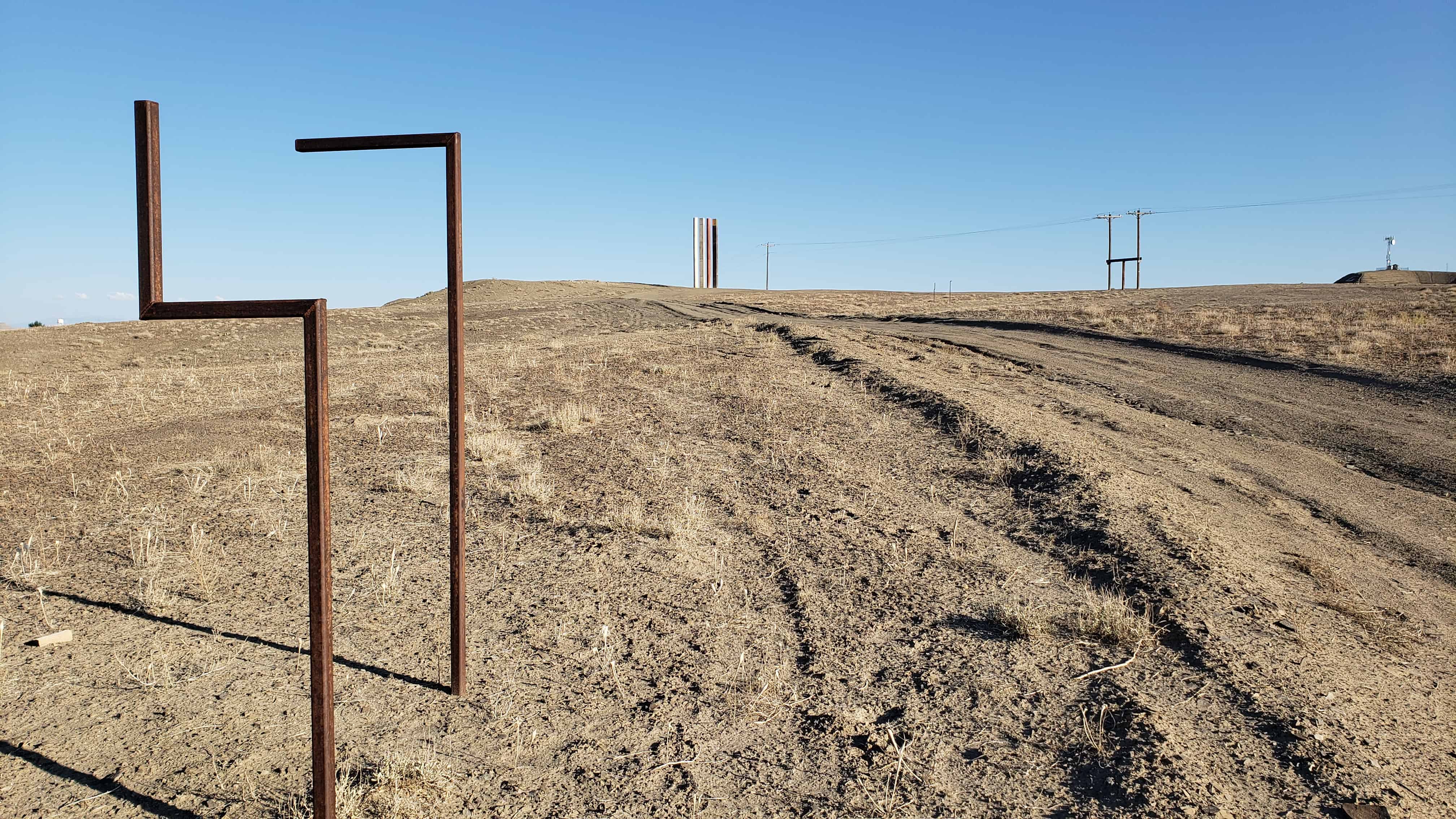
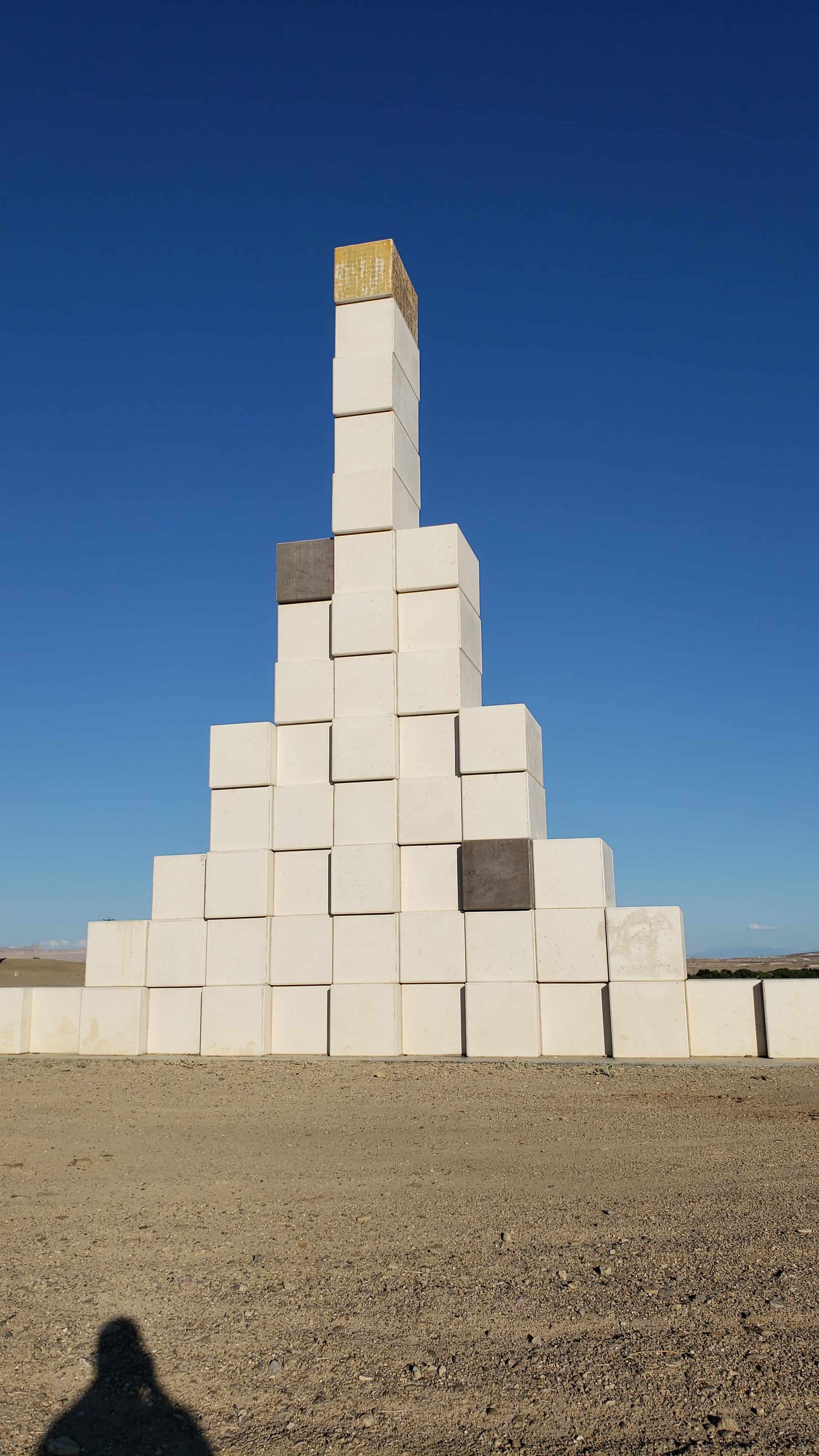
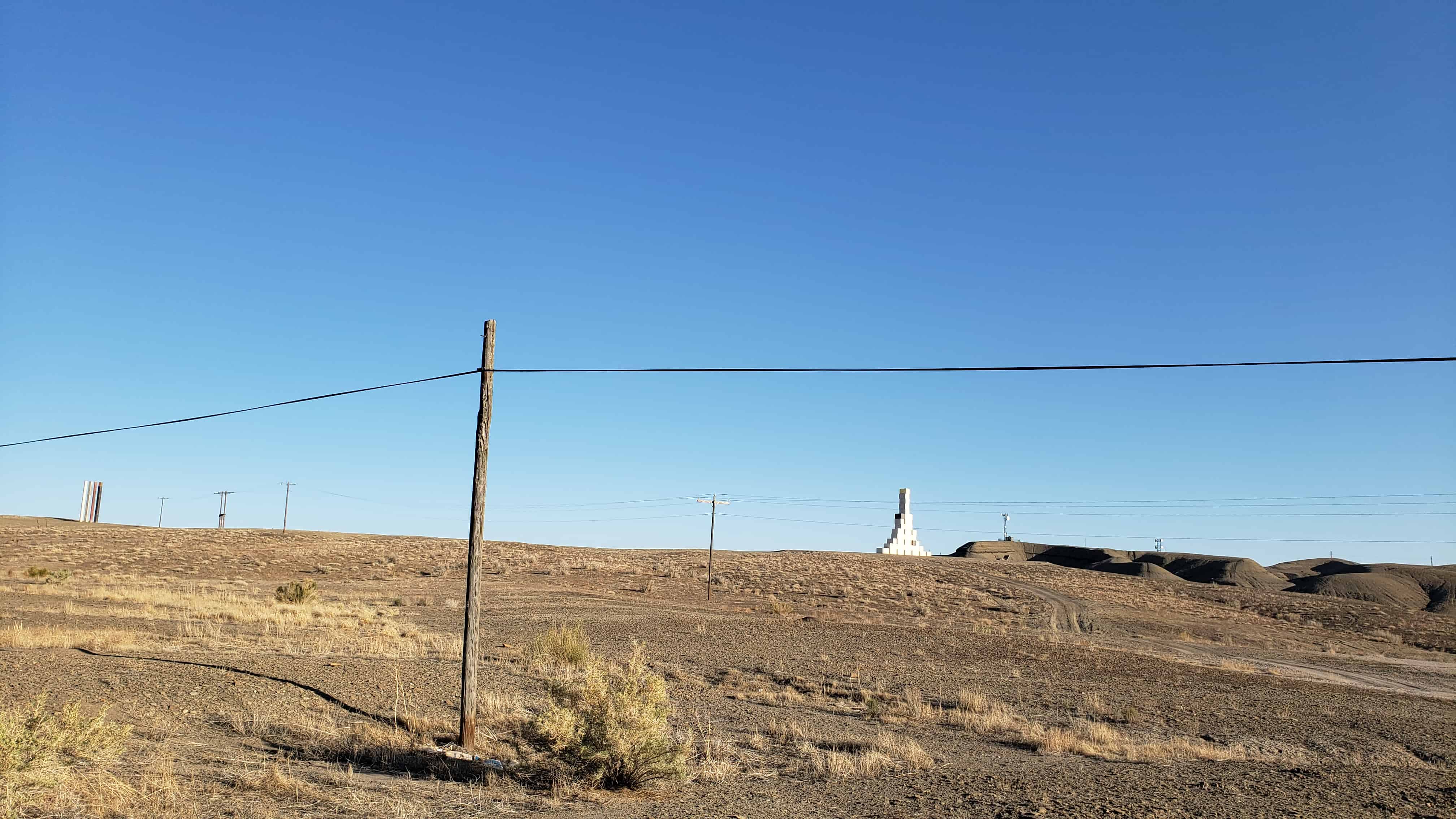
The Fibonacci sequence is a series of numbers where a number is found by adding up the two numbers before it. Starting with 0 and 1, the sequence goes 0, 1, 1, 2, 3, 5, 8, 13, 21, 34, and so forth.
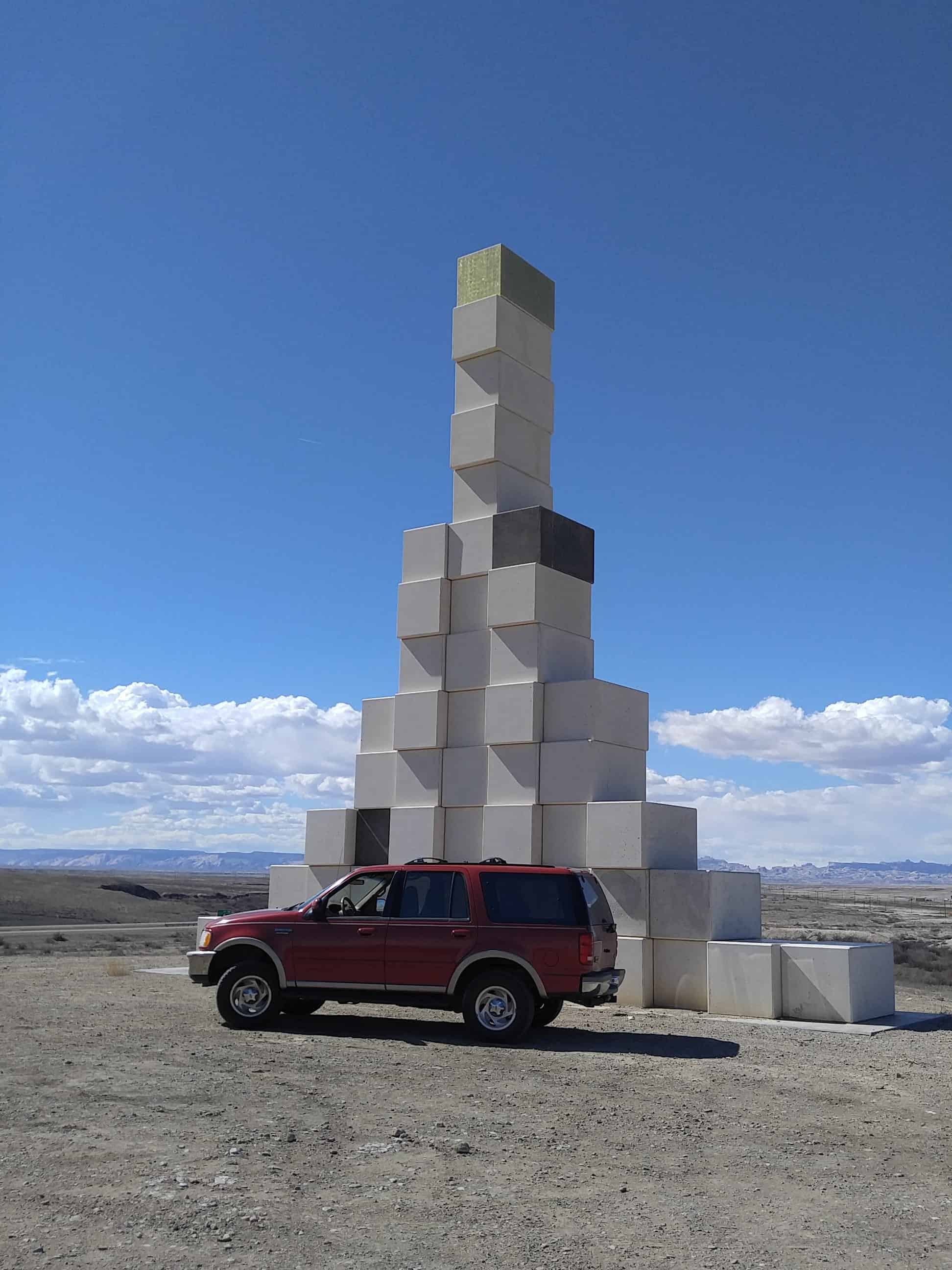
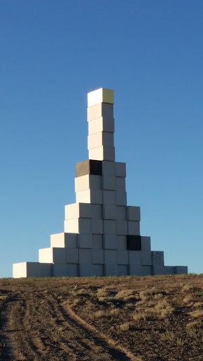
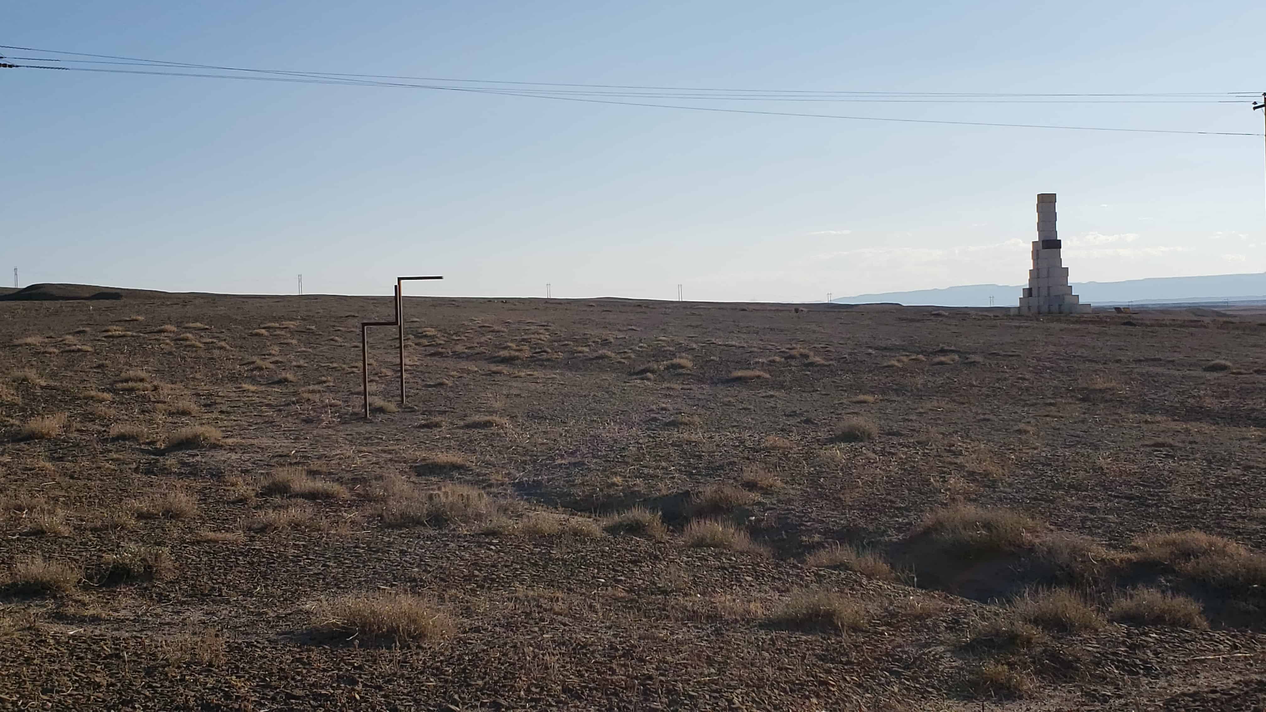
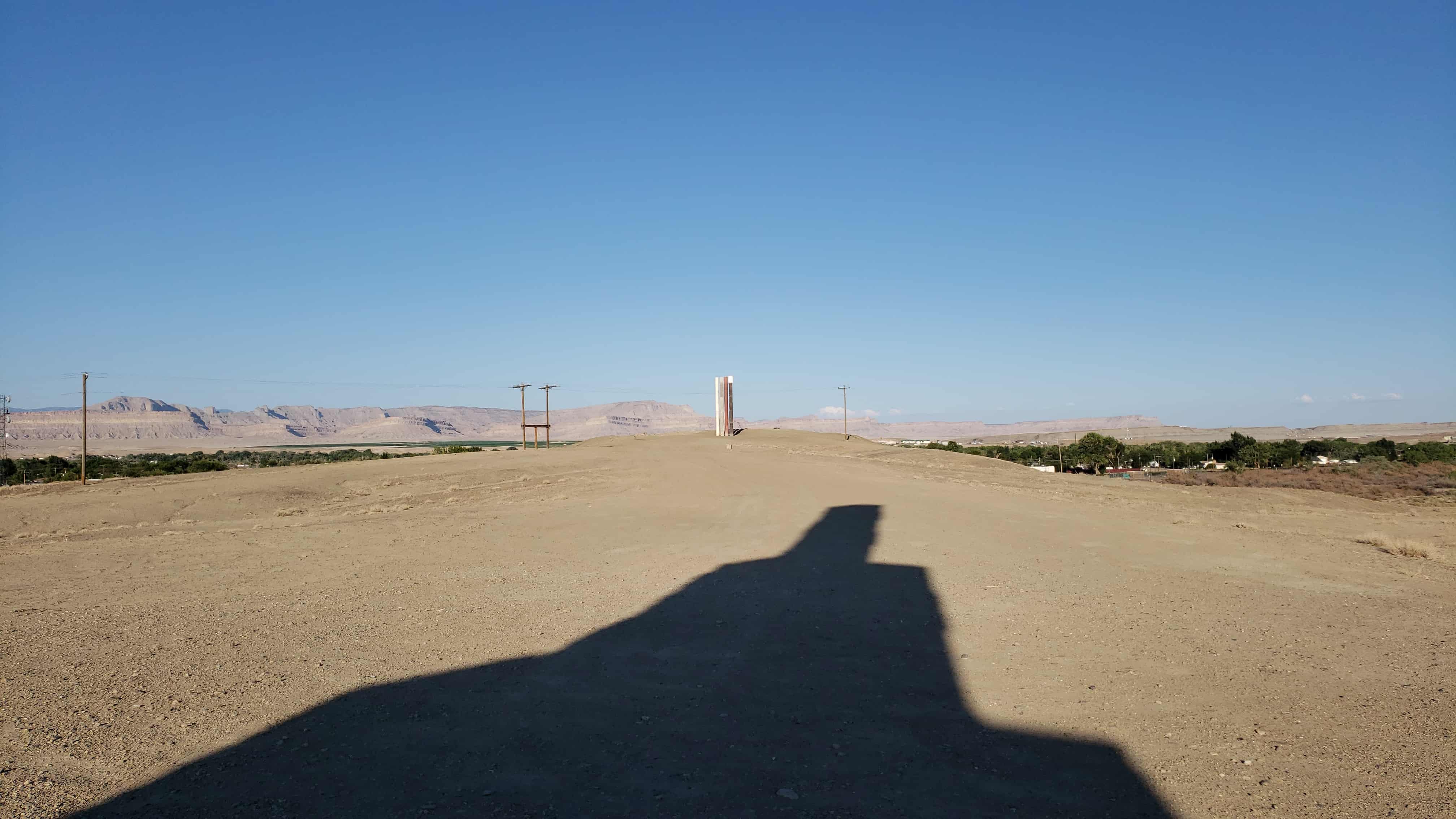
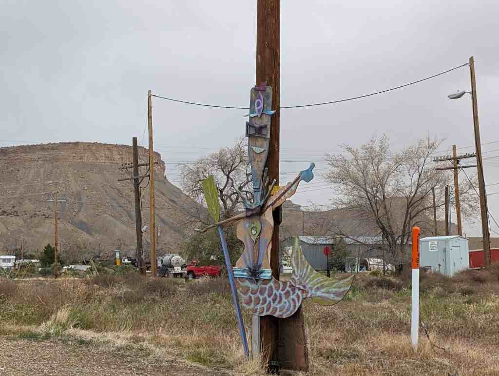
There’s a popular block “sculpture” in Green River that can be seen from the freeway that is based on the sequence.
Apparently it cost $145,292 to build it, there are several other art projects in the area.
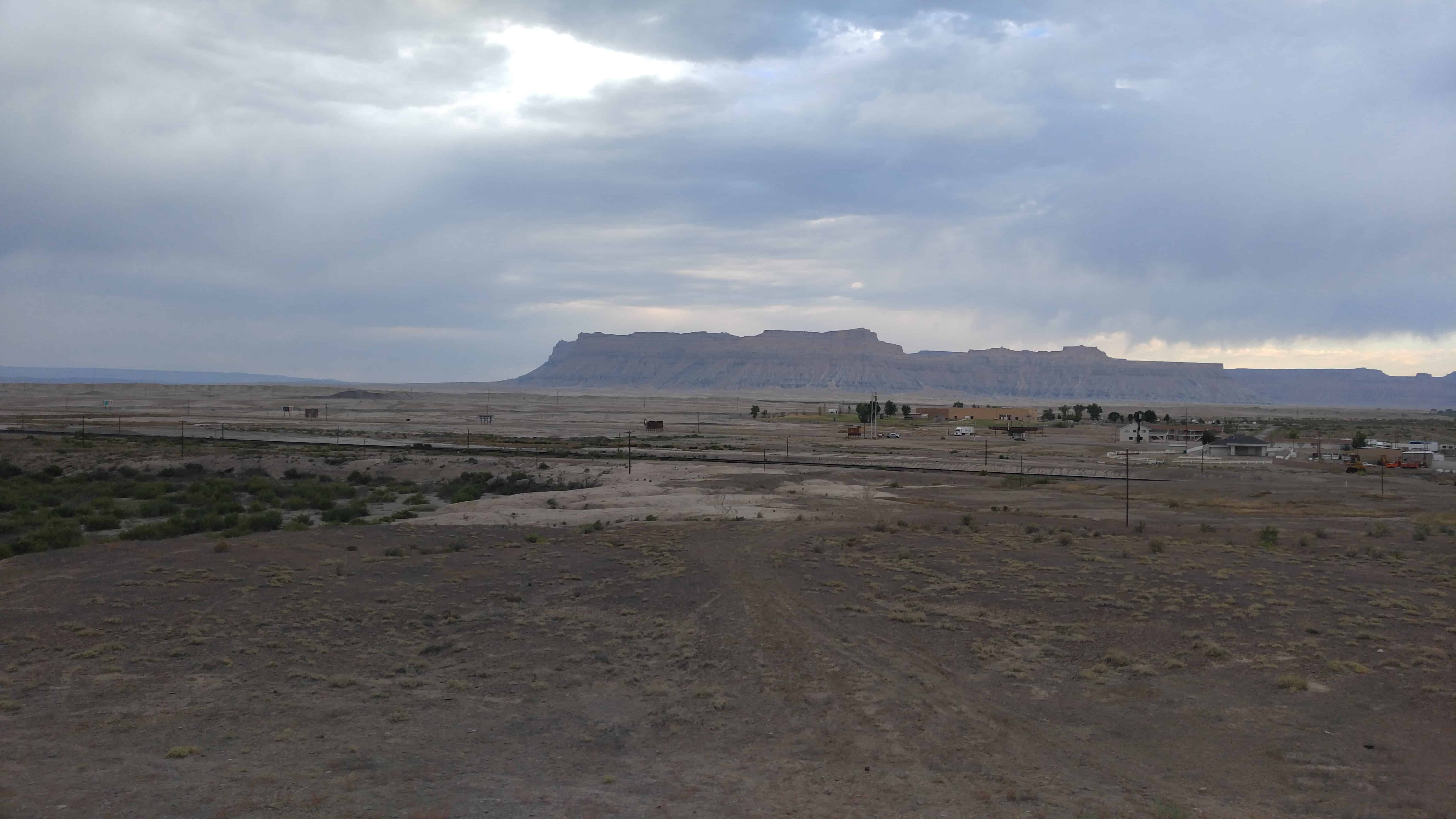
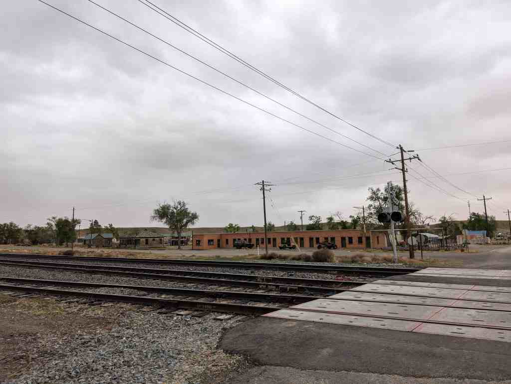
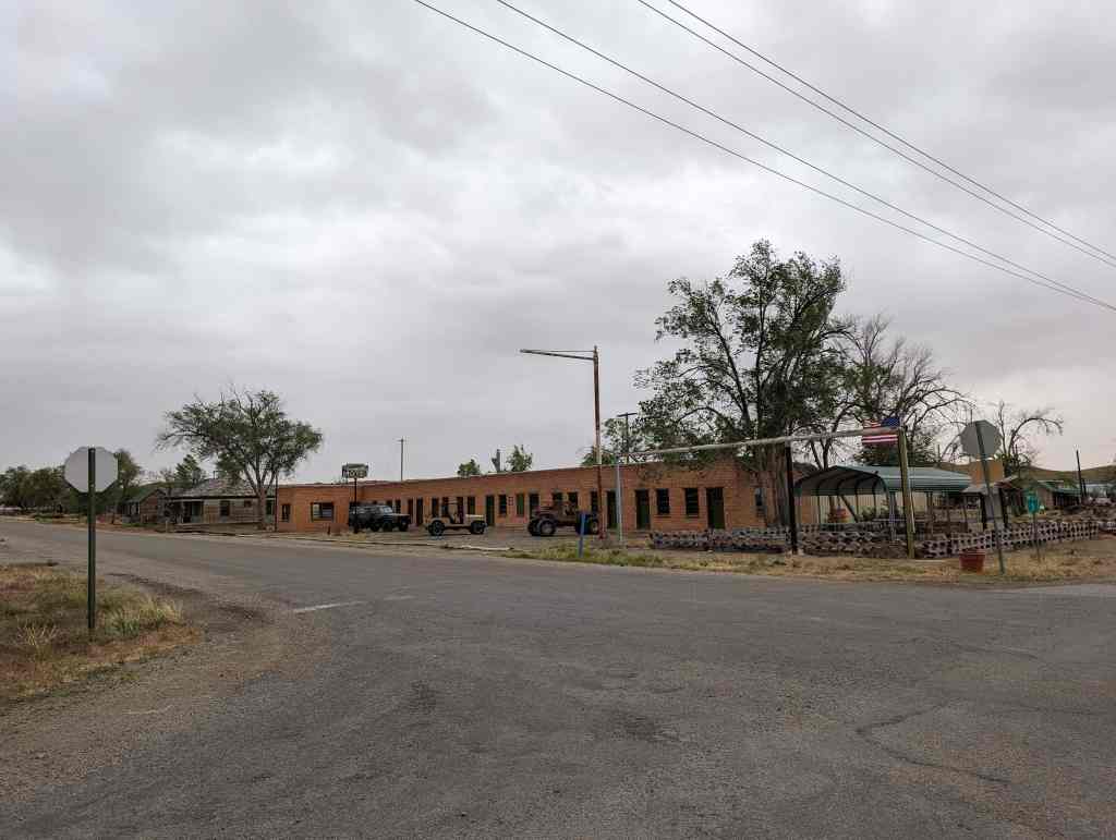
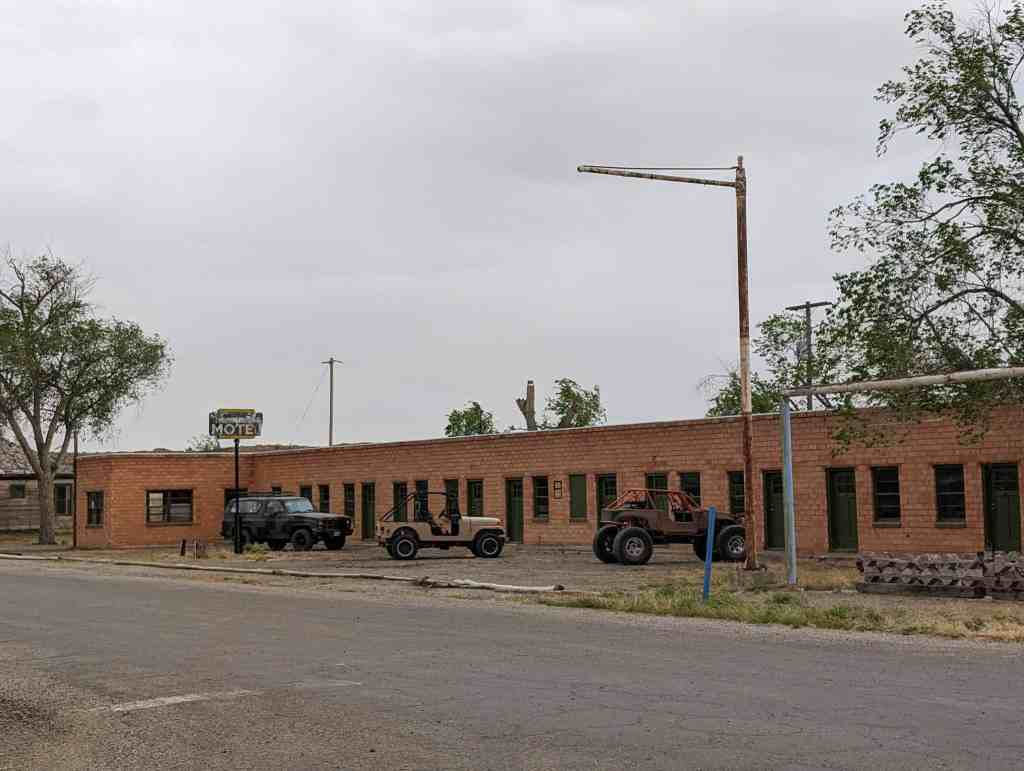
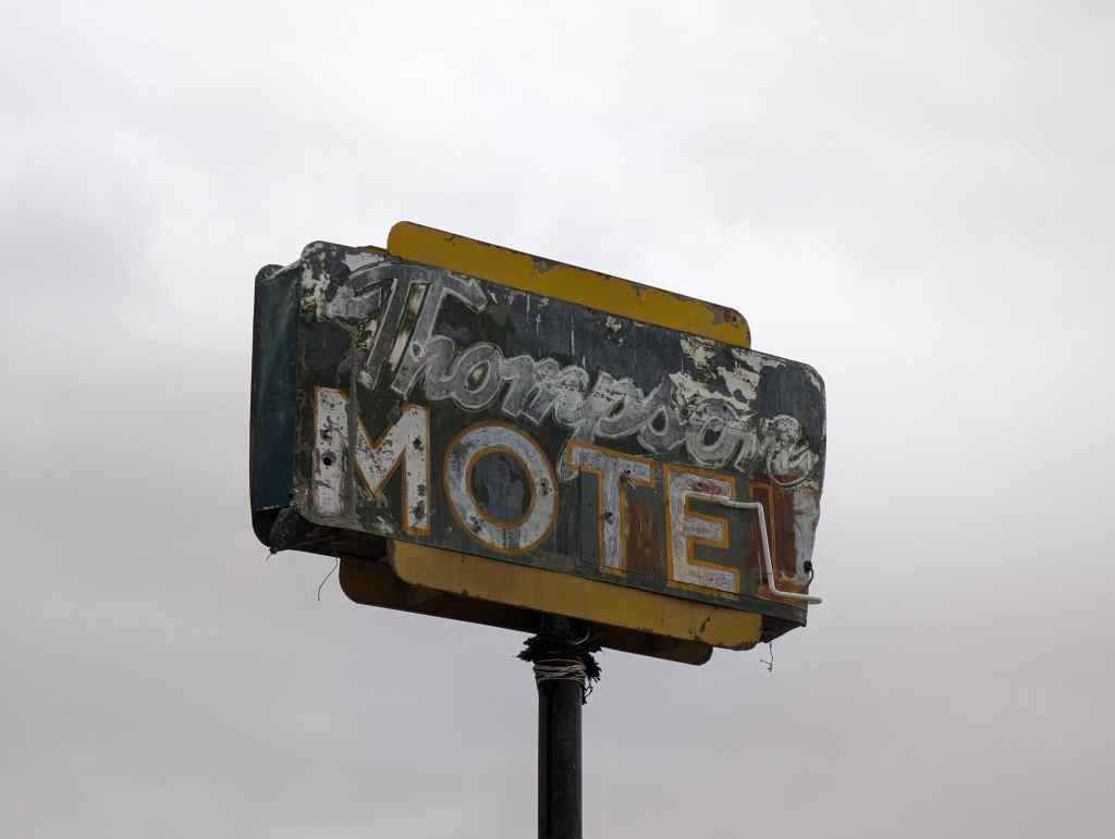
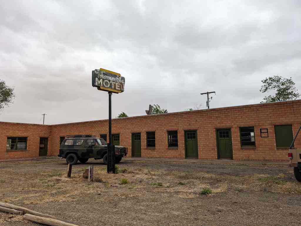
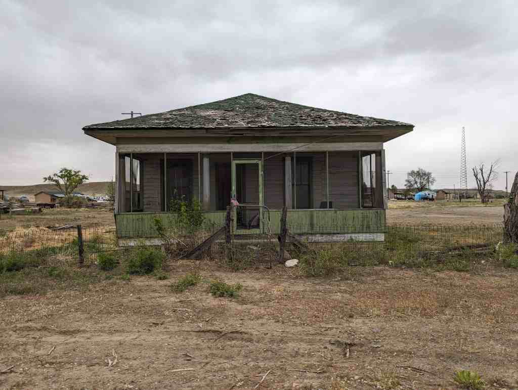
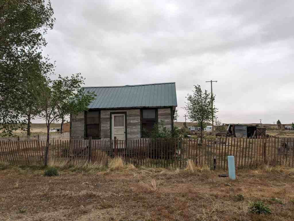
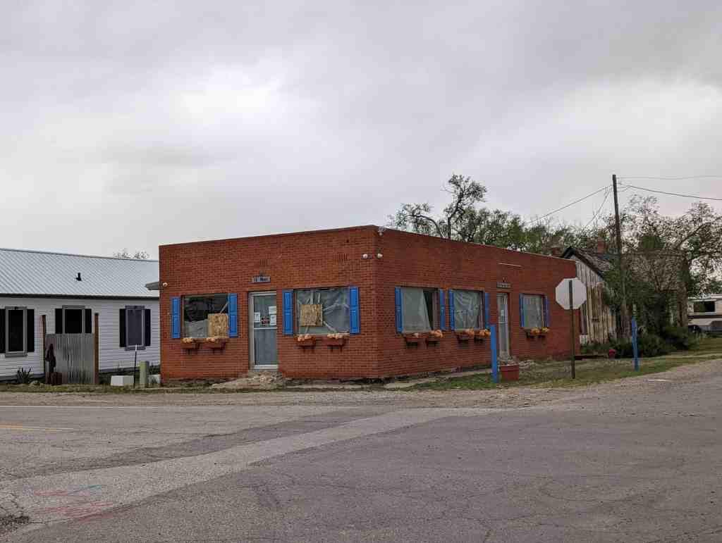
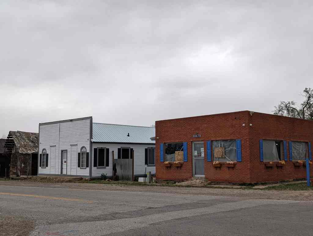
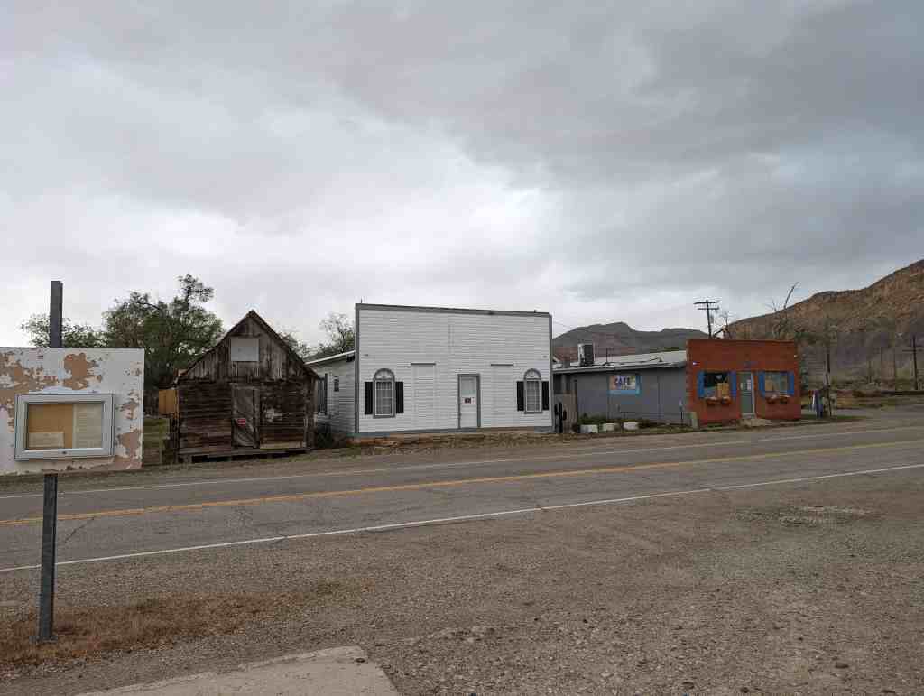
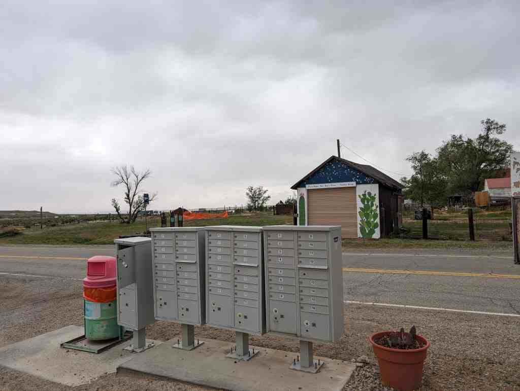
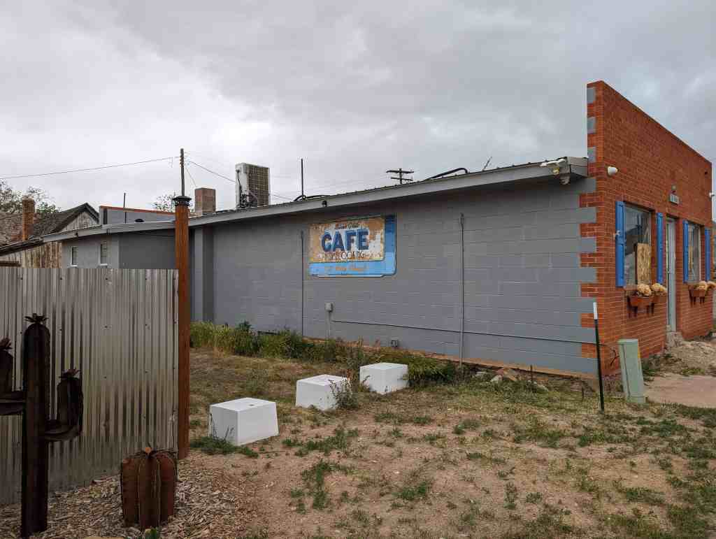
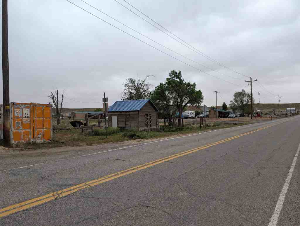
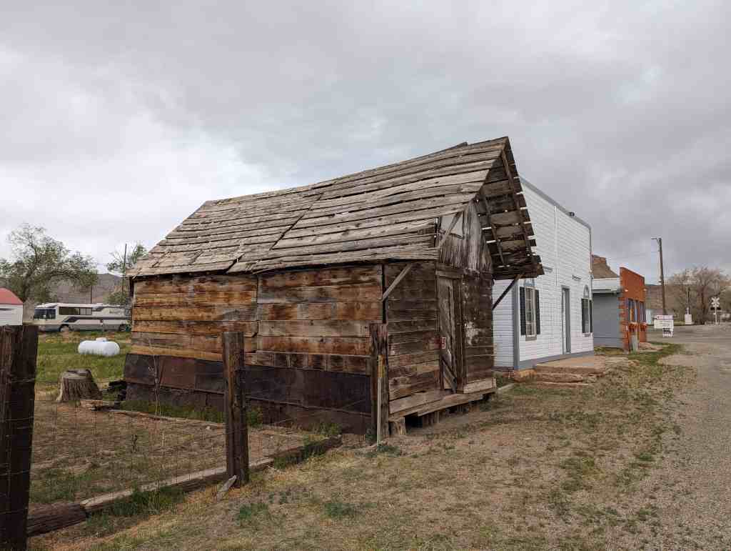
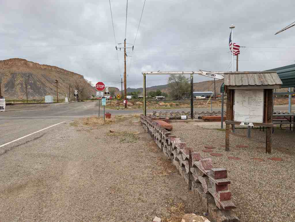
Elgin is on the east side of the Green River across from Green River. In 1905, Elgin was established as a siding on the Denver Rio Grande Western Railroad, and a post office was granted on March 5, 1898. The town quickly became a fruit-growing center, but over the years unexpected freezing periods and the cost of pumping water from the river caused the community to decline. Today the town has been revitalized by the addition of motels and tourist activities. Elgin has now been absorbed into Green River.(*)
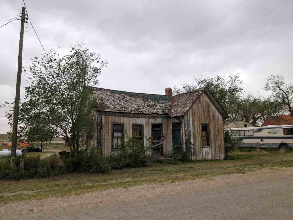
Here are some photos I recently took at the Elgin Cemetery.
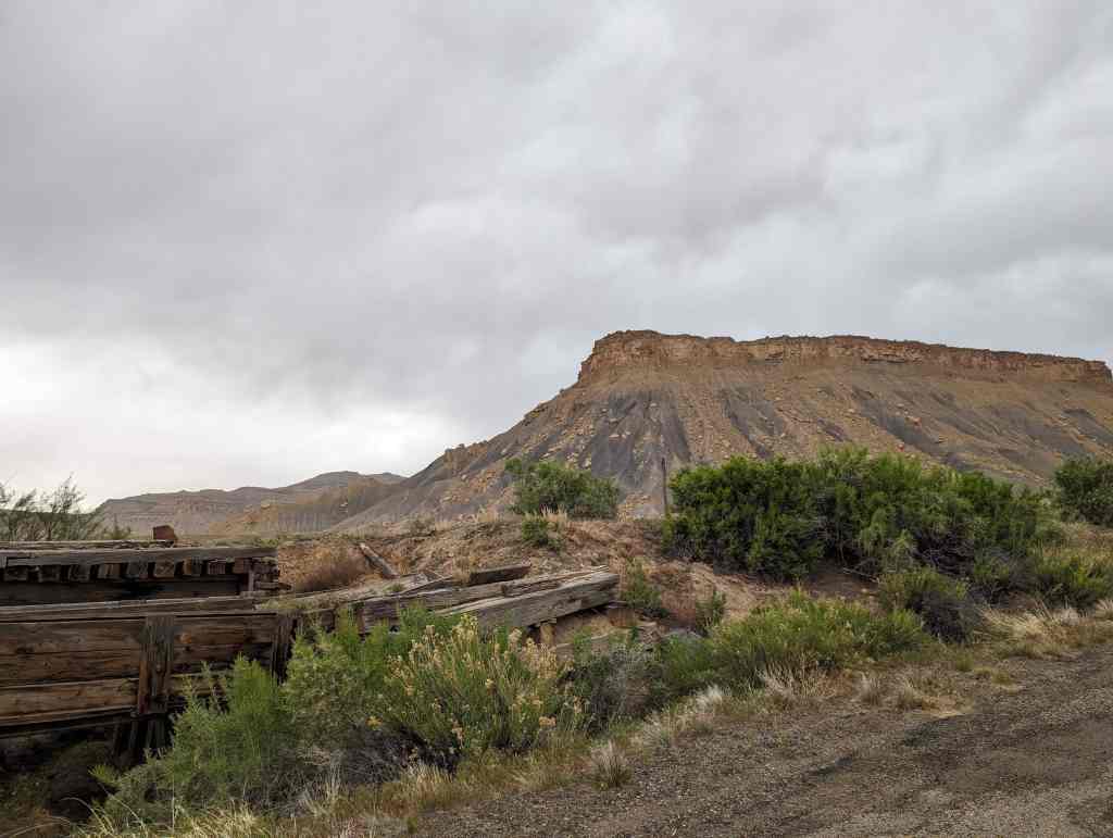
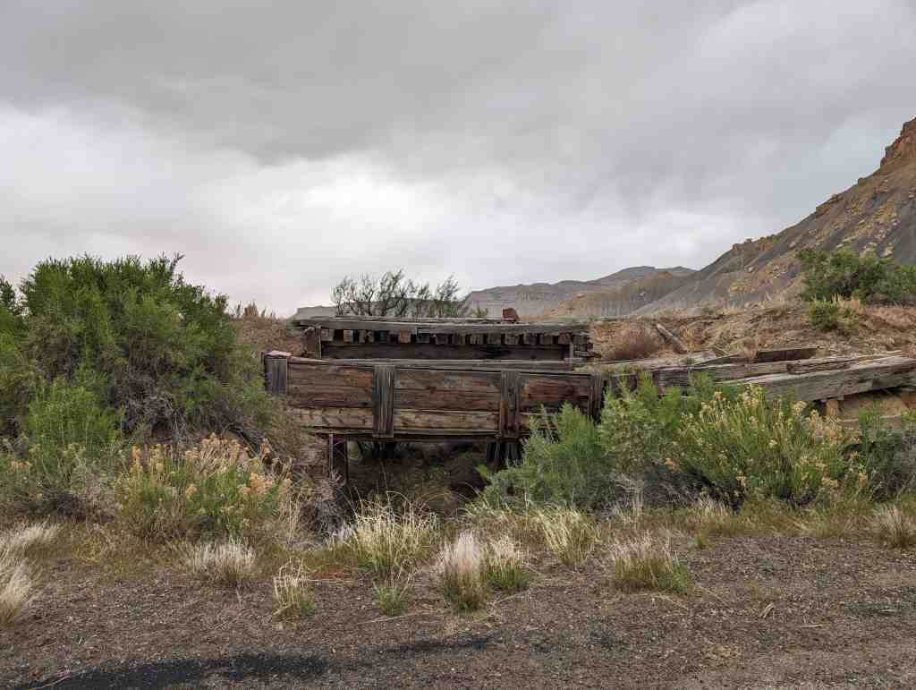
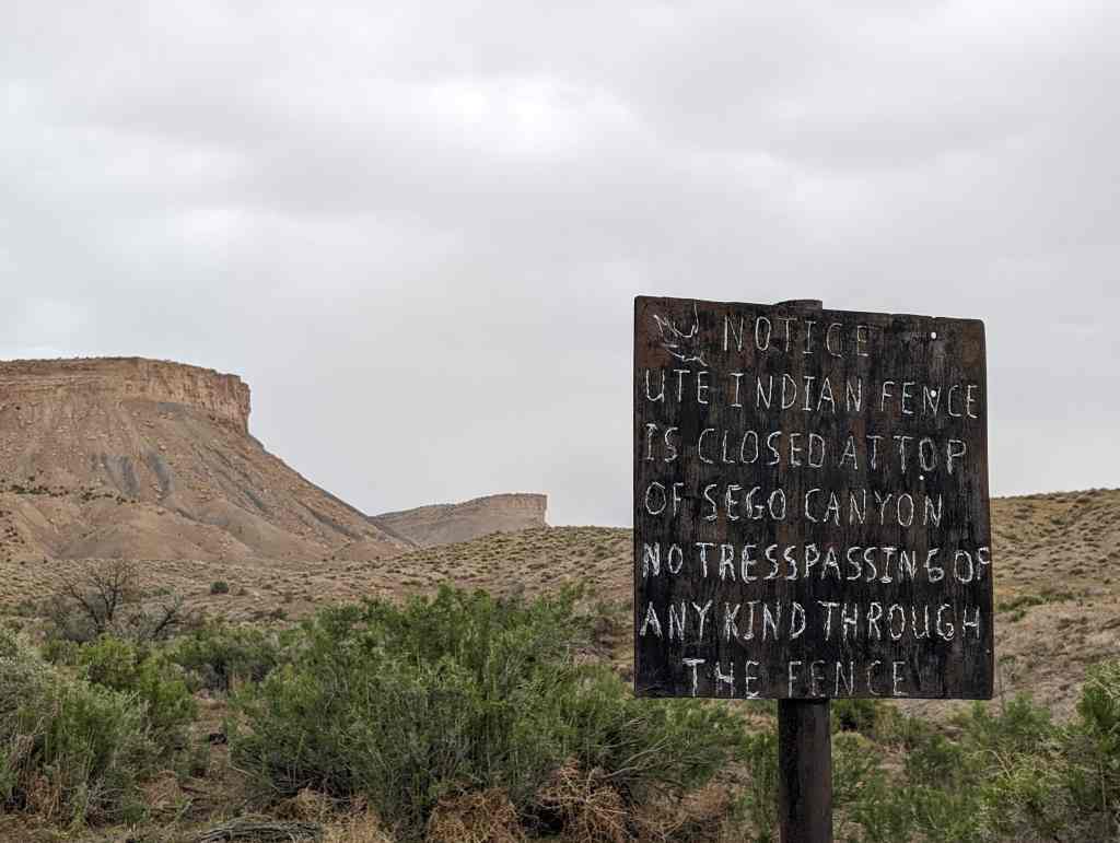
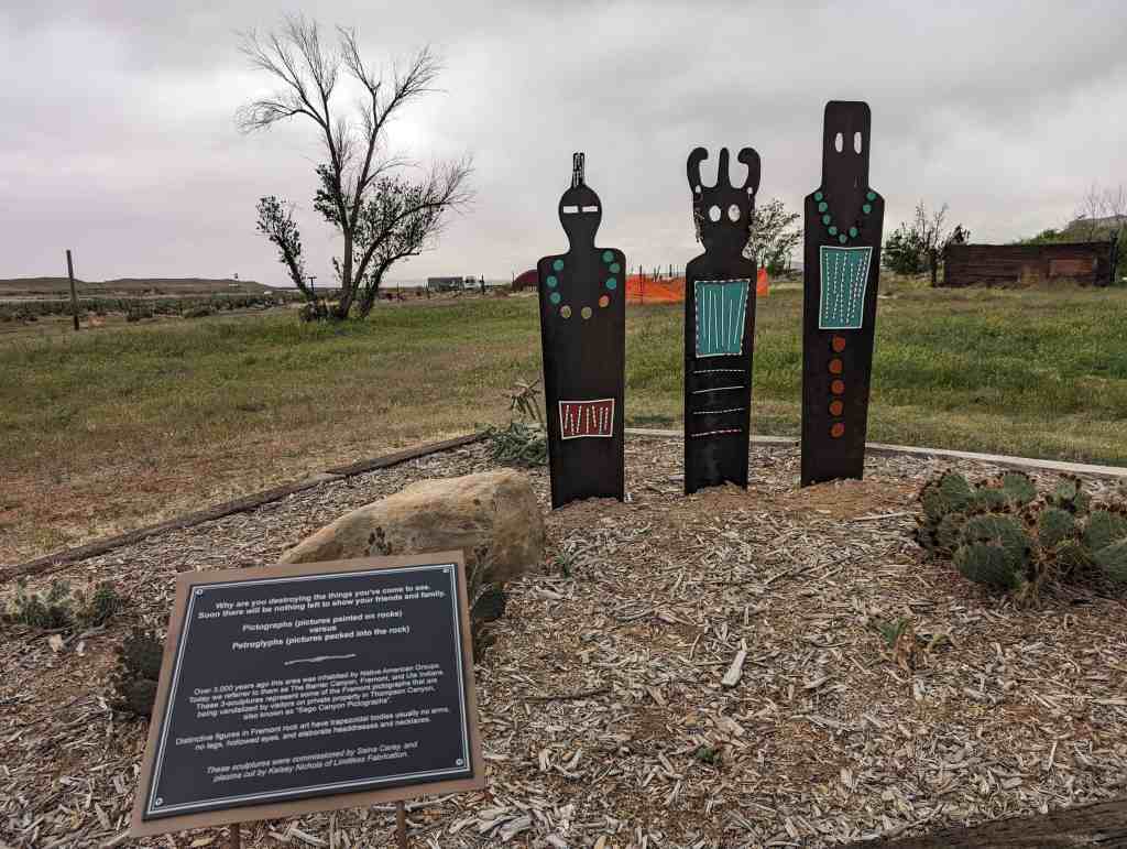
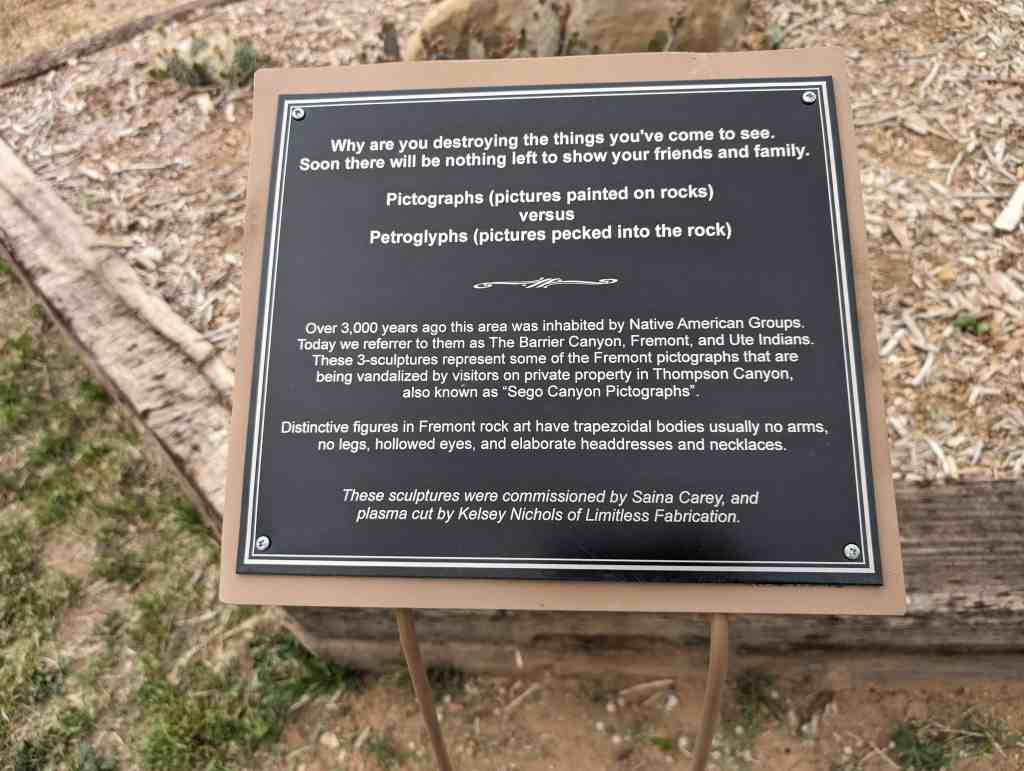
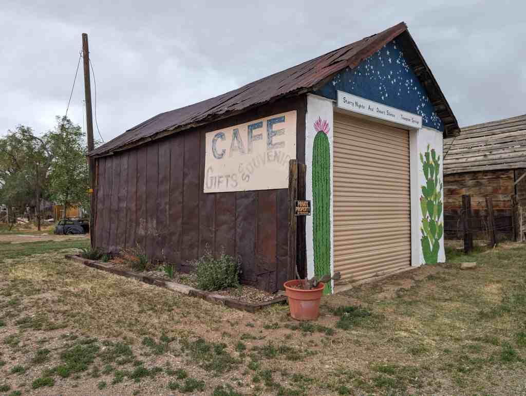
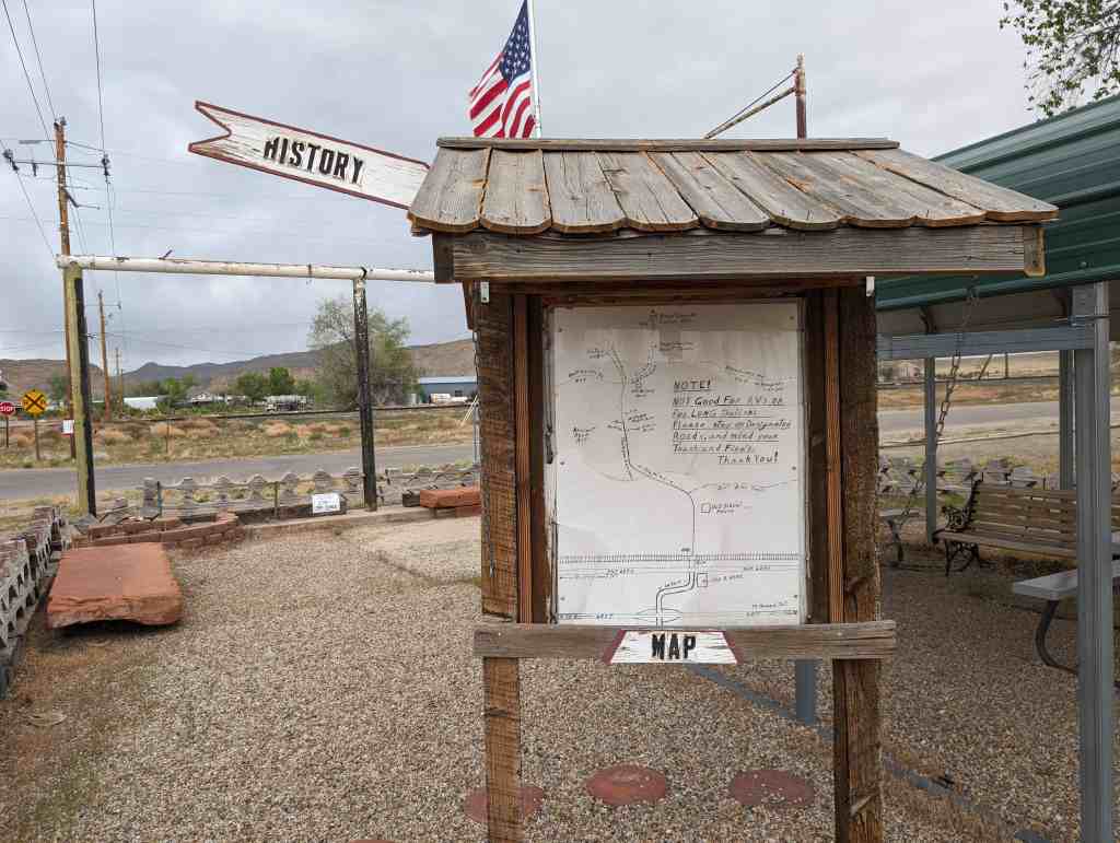
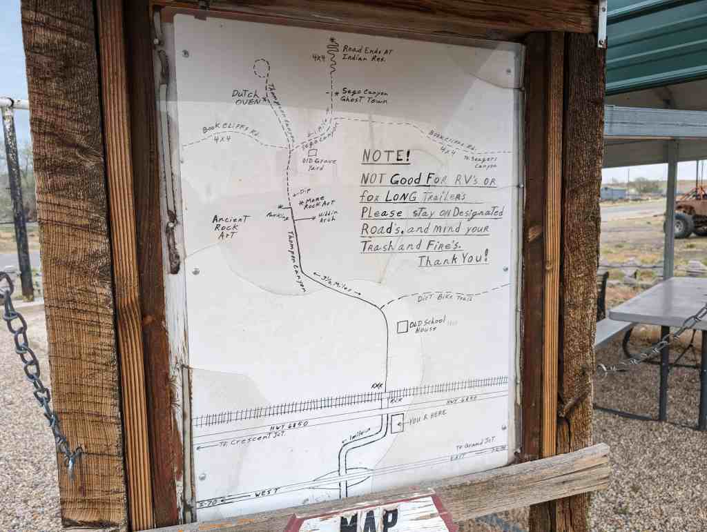
Sego boasted a population of nearly 500 people more than 80 years ago. Located in Sego Canyon five miles north of Thompson Springs, Sego began its existence as a coal mining camp for American Fuel Company workers who had begun working Henry Ballard’s coal mine in the Book Cliffs area around 1912. The coal from the mine was loaded onto railroad cars and transported down a five-and-a-half mile railroad spur to Thompson. The town was originally known as Neslen at first, and was notable for its racially segregated housing. In 1918, the town’s name was changed to Sego (in honor of Utah’s state flower) when Chesterfield Coal Company bought out AFC. The mine, which struggled financially throughout much of its existence, closed for good in 1947. Today, a few ramshackle buildings remain, including the old store, a two-story wooden boarding house, along with a few dugout cabins, an explosives bunker, and several old foundations.(*)
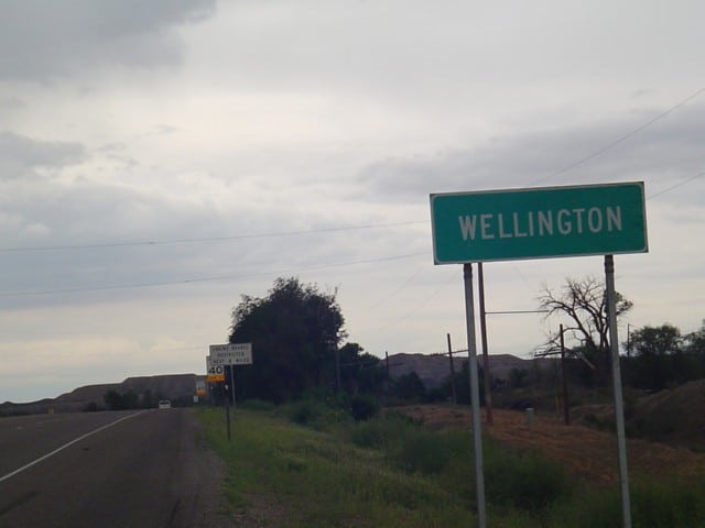
Wellington is a city in Carbon County, Utah, United States. The population was 1,676 at the 2010 census. The community was settled in 1878 by a band of thirteen Mormons led by Jefferson Tidwell. The town was named for Justus Wellington Seeley, Jr., of the Emery County Court. Many residents commute to nearby Price for their jobs, or work in one of the various coal mines in the area.
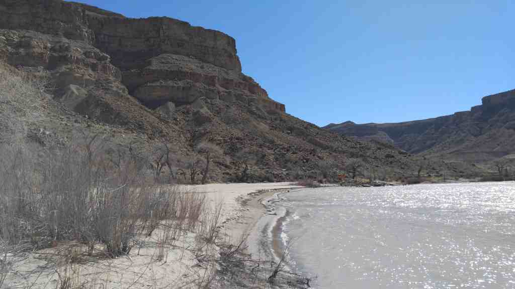
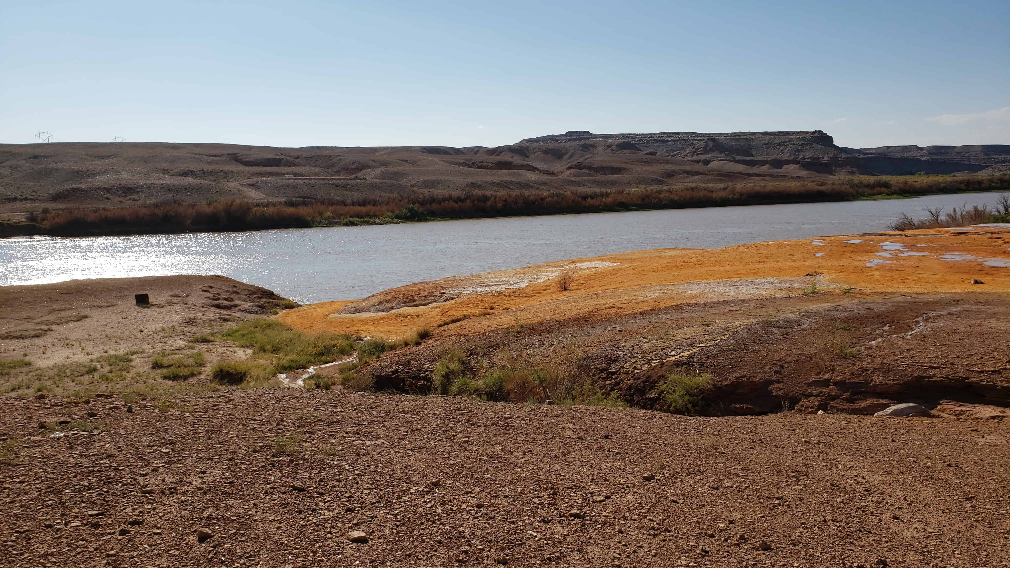
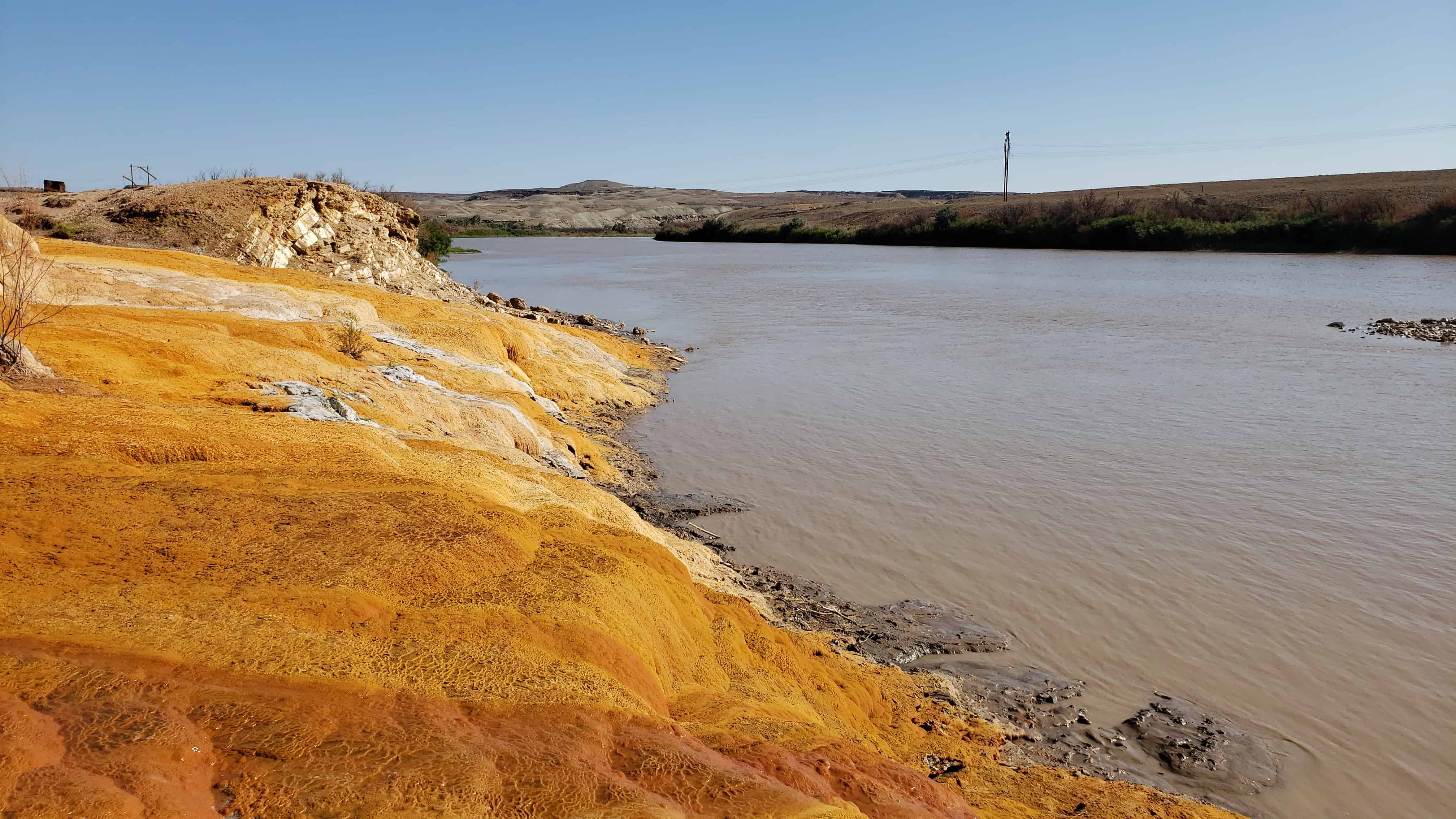
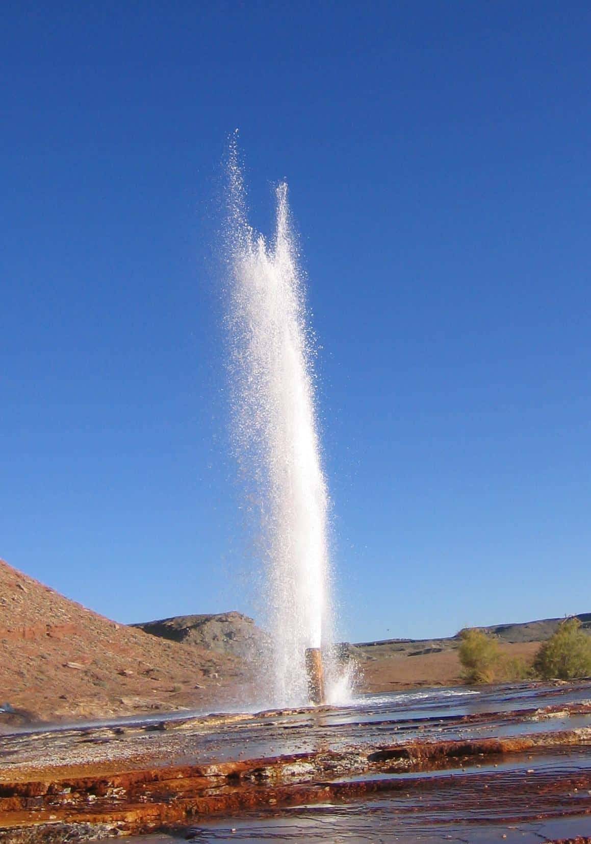
From Wikipedia: Crystal Geyser is located on the east bank of the Green River approximately 4.5 miles downstream from Green River, Utah. It is a rare example of a cold water carbon dioxide driven geyser; geothermal activity does not play a role in the activity of the geyser. The ground water near the geyser has significant quantities of dissolved carbon dioxide, along with substantial underground gas accumulations in the surrounding area. Saturation of the aquifer with CO2 creates enough pressure to force groundwater through the geyser and out on to the surface.
The geyser erupts sometimes to a height of 40 meters or more. During 2005, a study of the timing of the eruptions found them to be bimodal. About 66% of eruptions in the study occurred about 8 hours after the previous eruption, and the rest about 22 hours after. The geyser erupts for an average of one hundred minutes a day, with eruptions either lasting 7–32 minutes, or 98–113 minutes. The bimodal distribution of eruptions is not a well-understood pattern, but is found in other geysers, both cold-water and otherwise.
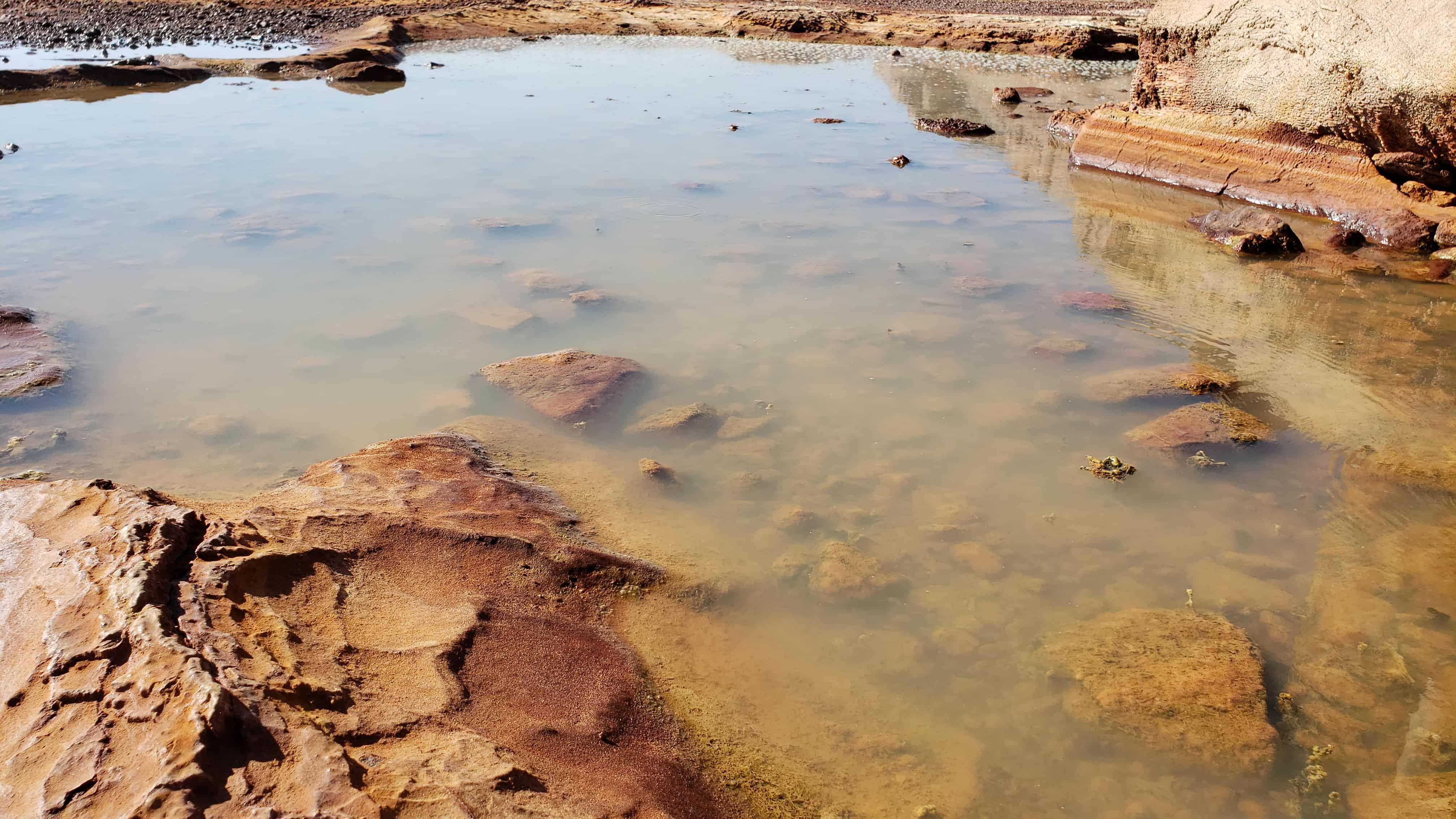
Between eruption events, the water level is approximately seventeen feet below the surface of the geyser—at the level of the water table. In the preface to an eruption, water surfaces, fills the pond around the geyser, and begins to bubble. Bubbling events occur with increasing frequency in the time leading up to an eruption, but are not constant; bubbling events last for a few minutes, with a few minutes of calm in between. Bubbling events at the main geyser also frequently alternate with bubbling events at natural side-pools.
The current form of the geyser was created by an exploration well drilled in 1935 in attempt to locate oil. The well was originally 800 metres deep, but an earlier owner of the land partially filled it in, meaning that the well is now only a couple hundred metres deep.
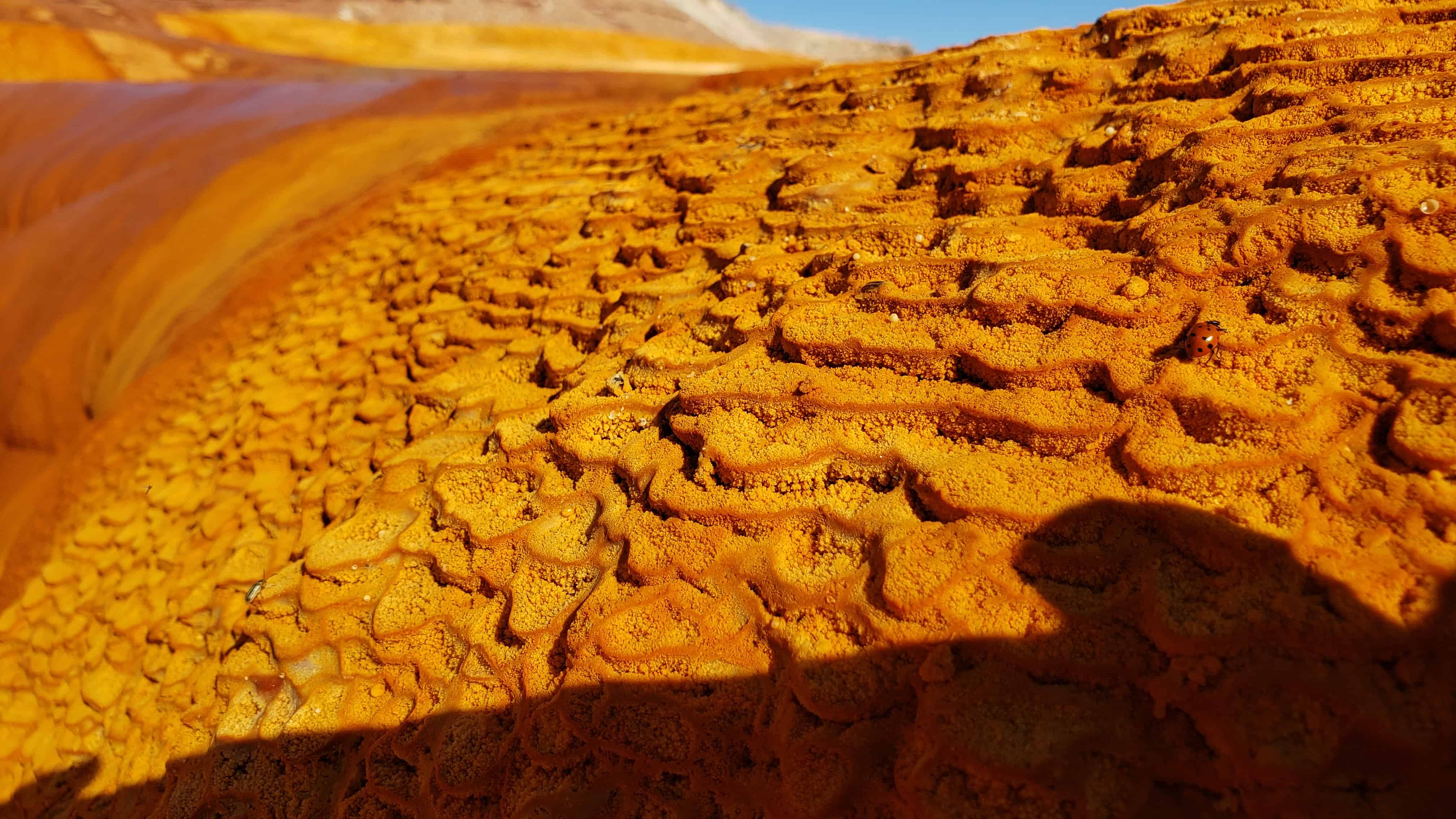
The area surrounding the modern geyser is covered in a thick layer of orange travertine. Near the river, adjacent to the modern orange travertine, are substantial deposits of white travertine, perhaps reflecting the original depositional environment of the geyser (before the exploratory well was drilled.)
The first written record of Crystal Geyser comes from the report of the Powell Geographic Expedition of 1869, July 13, 1869.