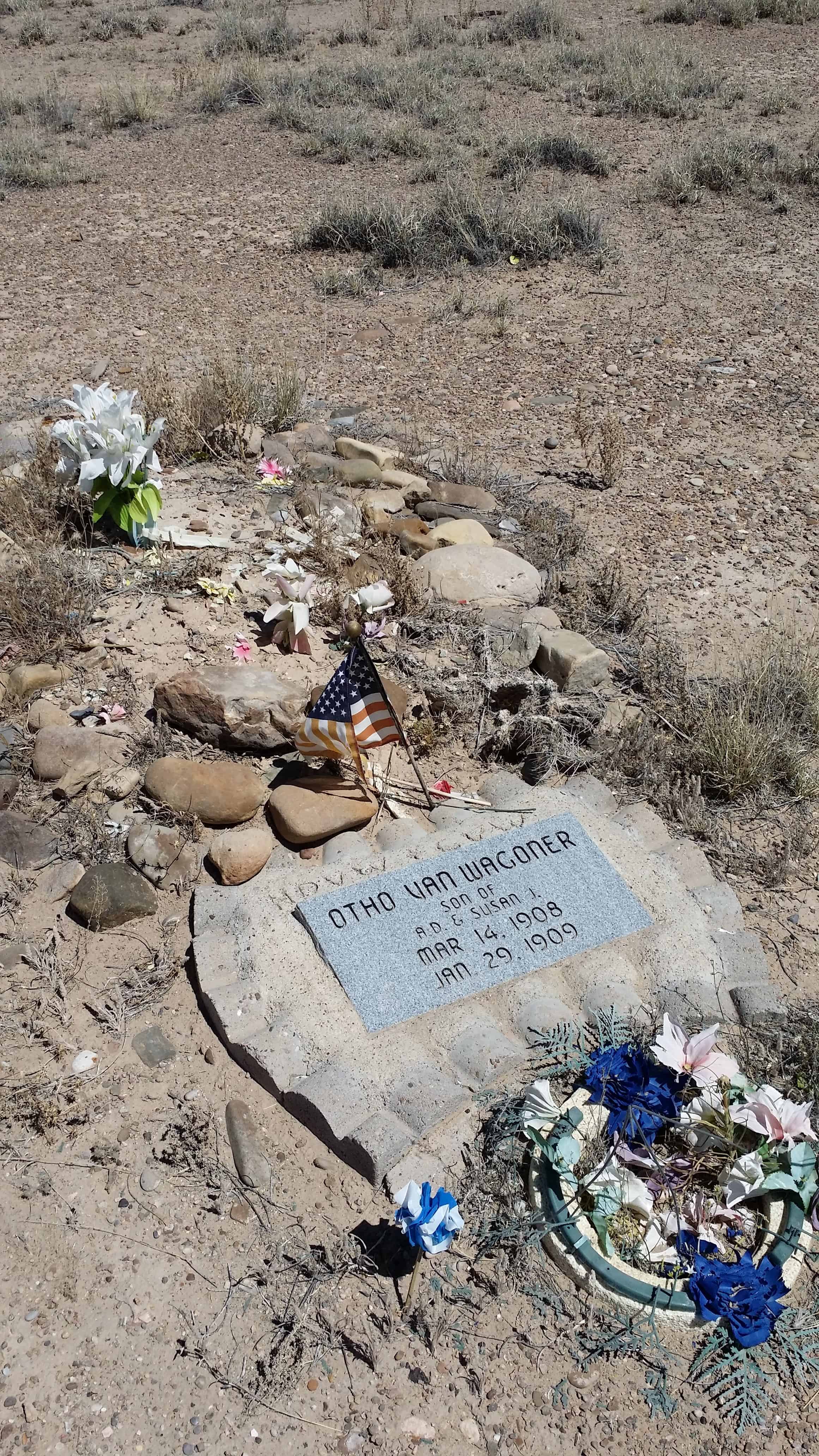
Here stood the lumbermen’s village of Searsville whose first settler, John Sears, came in 1854. Across the road westerly from this monument stood a hotel. The school, store, blacksmith shop, and dwellings were to the southeast, some on the site of the present lake and others overlooking it. Buildings were removed in 1891, as water rose behind the new dam.
State Registered Landmark No. 474 (see others on this page)
Plaque placed by the Board of Supervisors of San Mateo County in cooperation with the San Mateo County Historical Association. Dedicated June 8, 1952
Location: N 37.40264 W 122.24520 (Portola Rd and Sand Hill Rd in Woodside, CA)
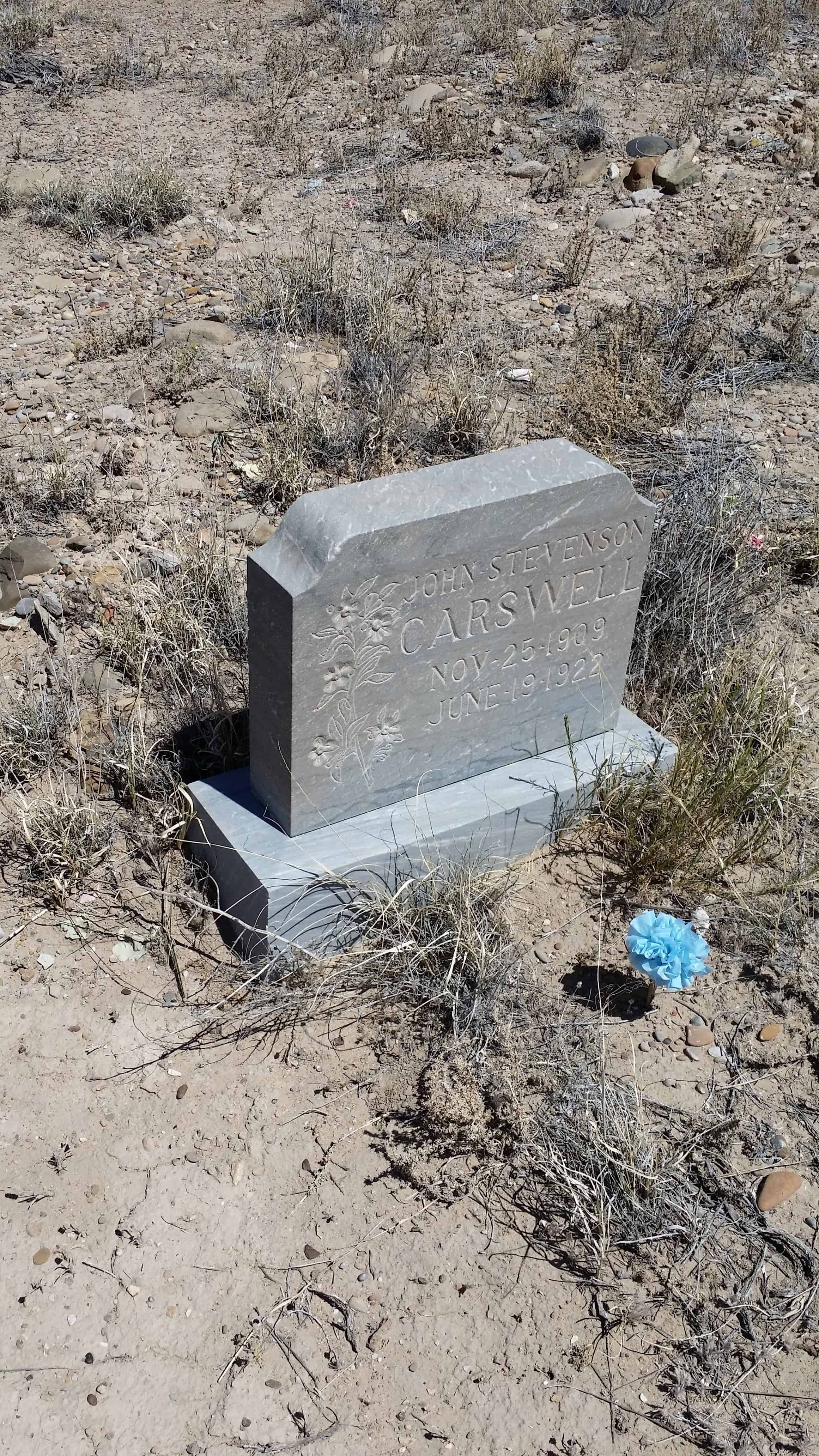
The Post Office Department changed the name of Lower Crossing to Woodside. Among the first settlers were Hentry Hutchenson, Pete Peterson, Scott Miller, Joe Curtis, Bradley Rutts, Walker Carswell, Peter and Abe Liddell, the Sandersons, Colemans, Watertons, Turners, McPhersons, Pressets and Seamountains. The early community consisted of a railroad station, section house, and a water tank. Nearby was a farm owned by three Swiss brothers named Louis, Felix and Bert Presset. Pressets and Petersons raised sugar cane to press into sorghum and molasses. Honey, gathered from wild beehives, along with flour and salt shipped in from Salt Lake City provided their food basics. Poker Pete owned the only commercial establishment. He lived in a two-room cabin along with a stock of overalls, four, coffee, tabacco, salt and a large supply of whiskey and beer. He also had a table for playing poker.
The early population included Chinese section hands. Cattle outfits came to Woodside for their mail and freight. Dances were held in an abandoned log schoolhouse. Candles consisting of a string and Tallow soap (grease, ashes and rabbit brush), provided light. Slickam or fine ground sugar cane provided the floor. Felix Presset played the concertina with Tom Dilly accompanying him on the mouth organ.
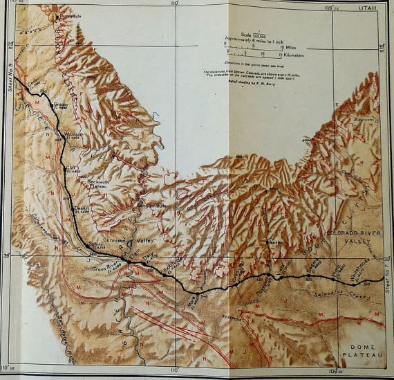
Woodside’s population grew as demands on the railroad continued. Extentions were planned for a shorter route from Woodside to Salina across the San Rafael desert and Cedar Mountain. The population peaked at 300, sometime between 1910 and 1920. At that time the town included a railroad hotel, depot and many railroad houses. Several cattlemen used Woodside as their headquarters or operation, including Preston Nutter, the Mays, Downards and McPhersons.
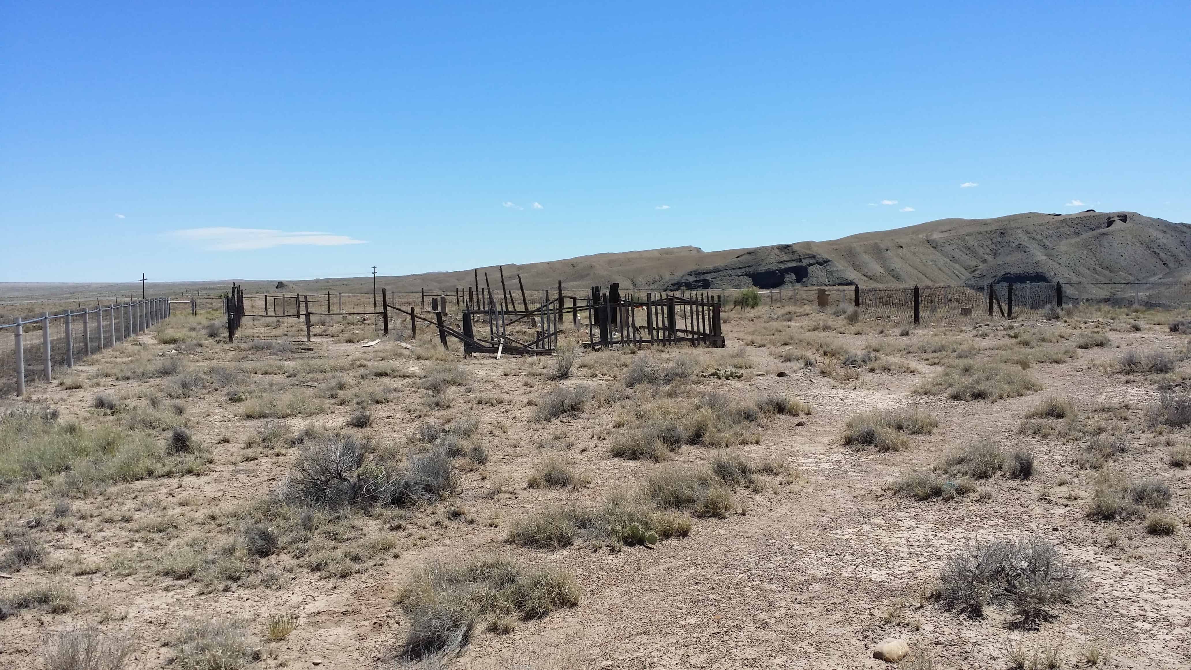
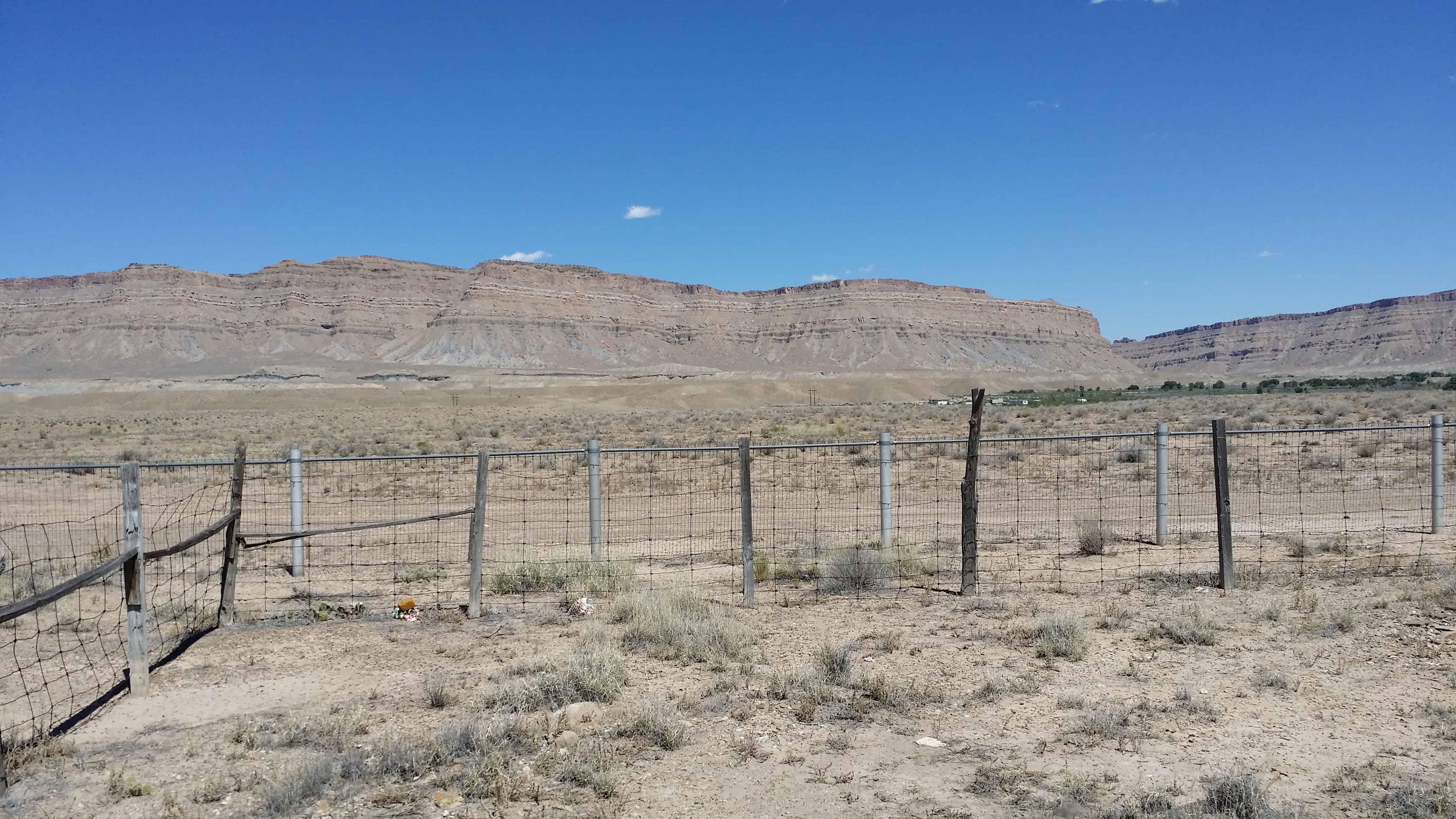
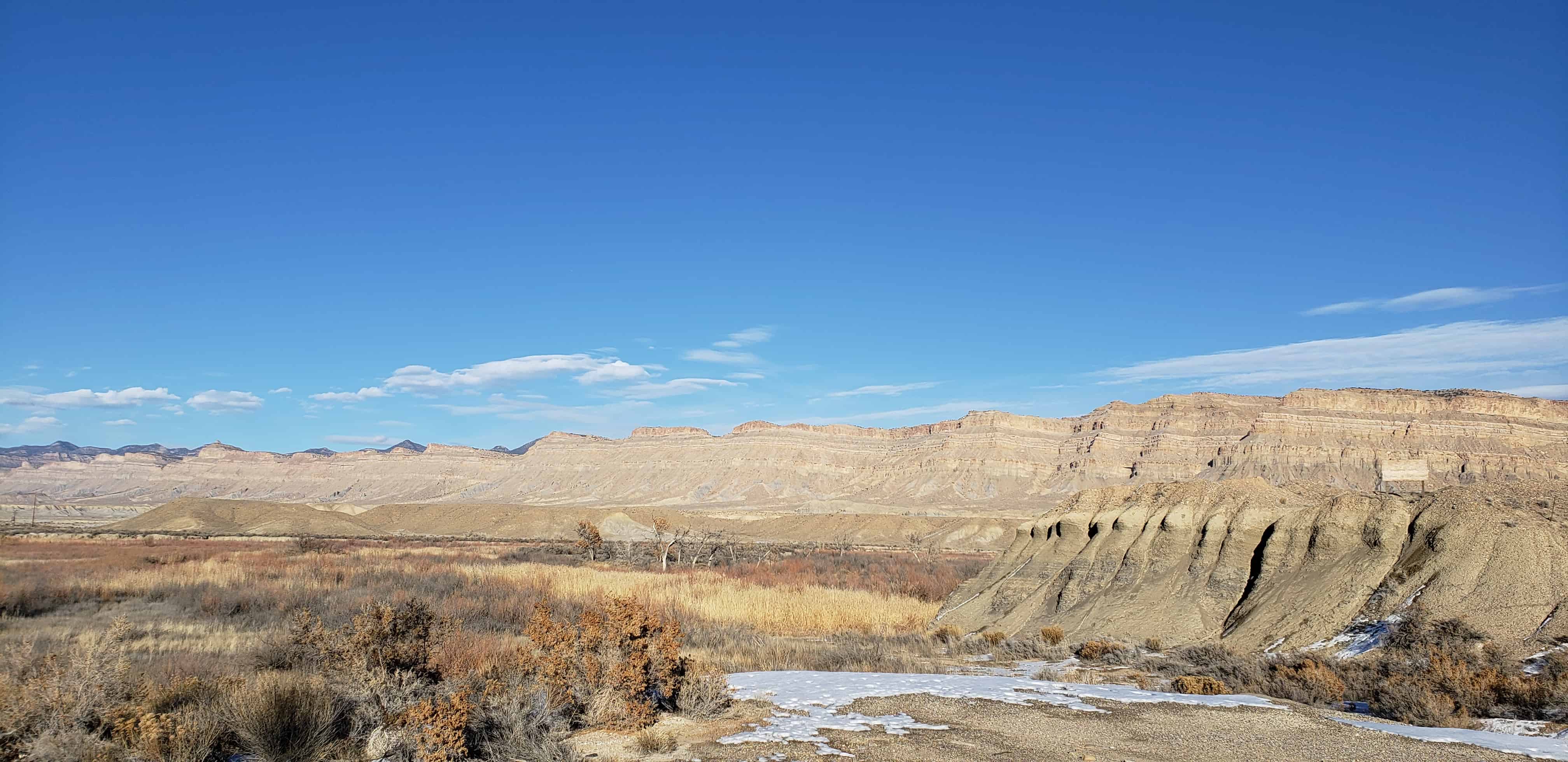
Woodside is one of my favorite Utah ghost towns, thousands speed through it every day on the busy highway but there is a lot of history if you slow town and take a look.
It was settled in 1881 and called Lower Crossing at the time – it looks so barren now it is hard to imagine the livestock, sugar beets, vegetables and more being grown in abundance.
In 1897, following a train robbery at Castle Gate, Butch Cassidy hid in an network of tunnels under one house outside town.(*)
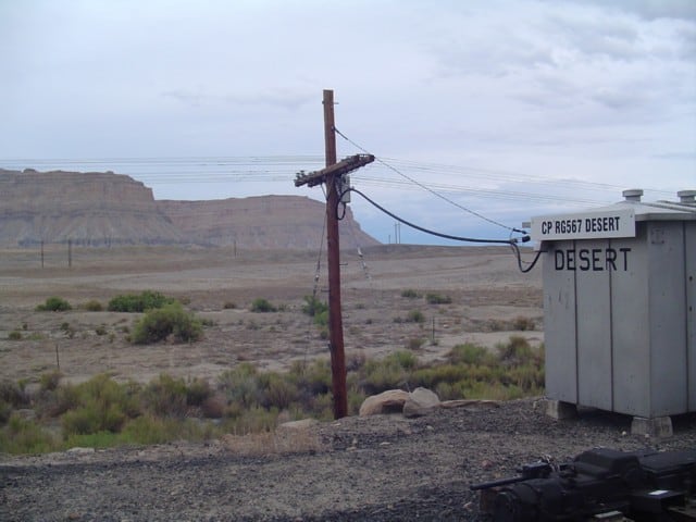
By the 1920s the town had a railroad depot and a hotel.
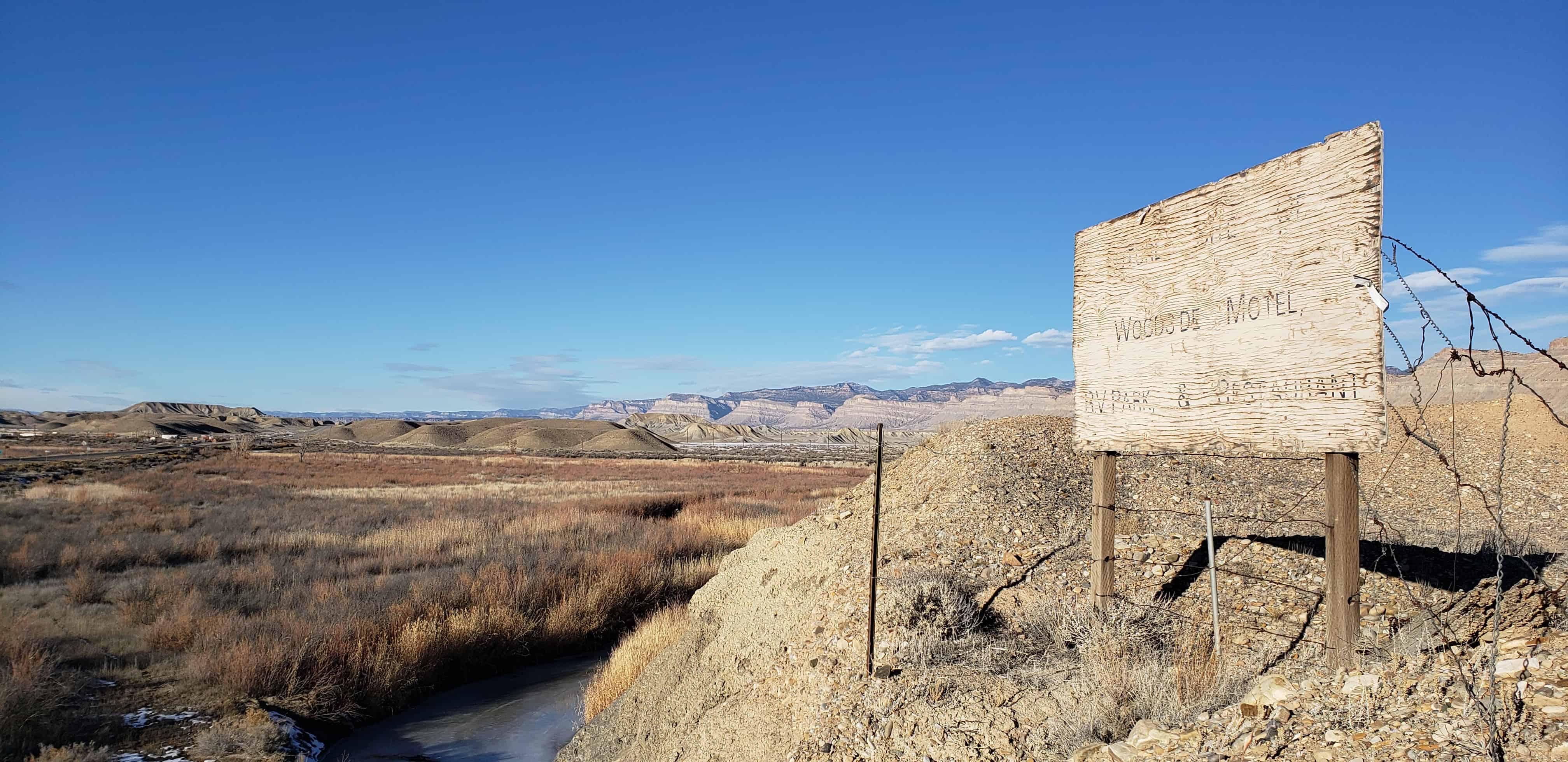
There was a cool geyser behind a store, a cafe, filling station and more. There have been online postings of the town for sale that I’ve seen for $4,000,000 and $2,500,000, stories of a man living in the ruins who would attack people, and a lot of jerky sold along the roadside.