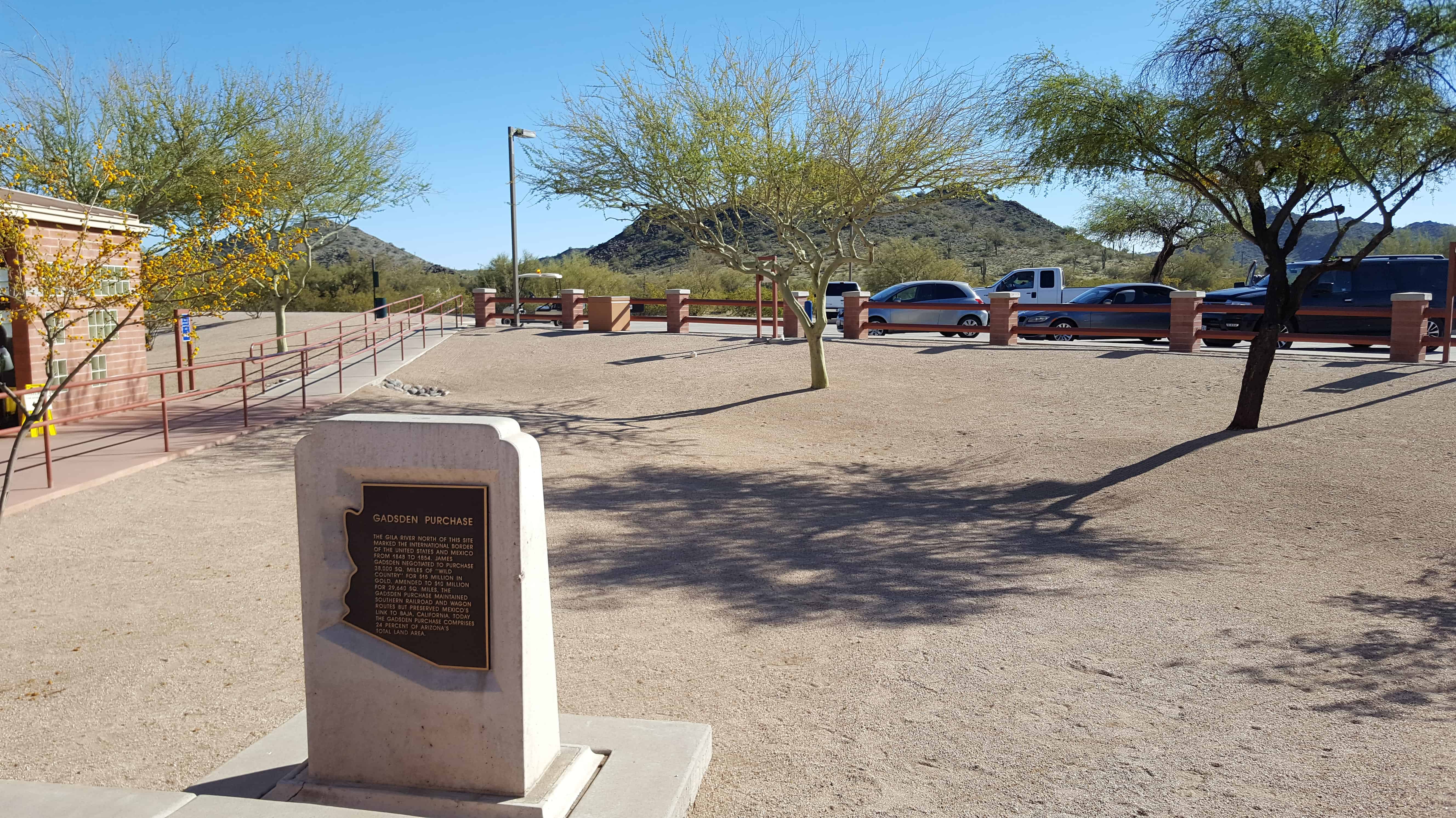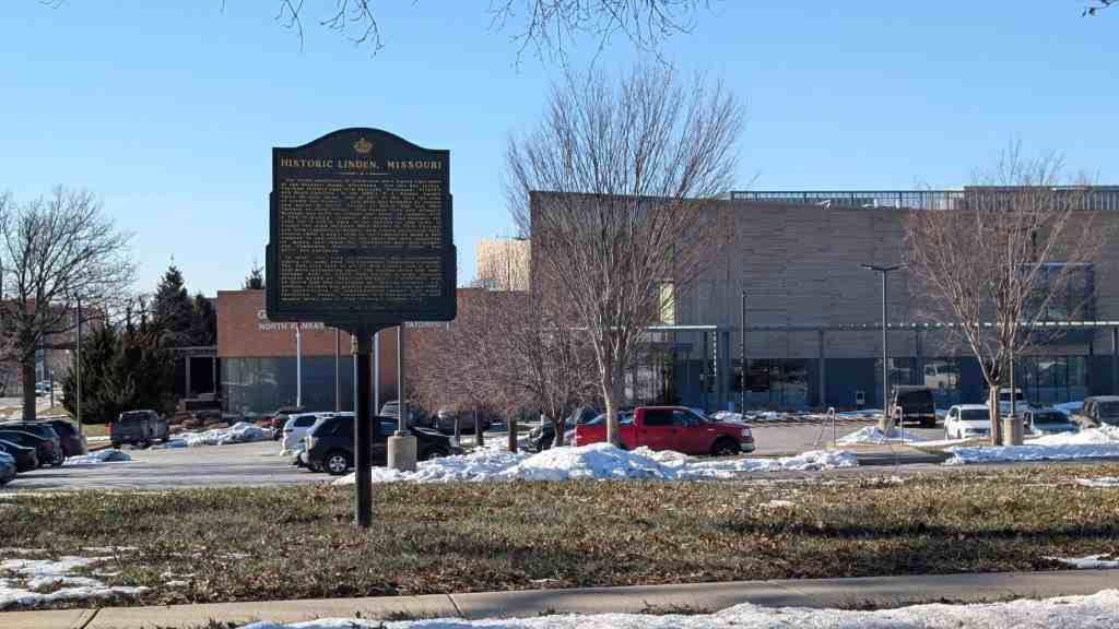
Historic Linden, Missouri
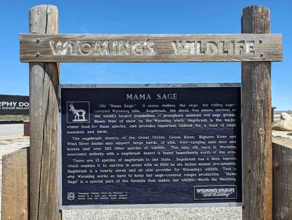
The initial inhabitants of Gladstone were Native Americans of the Missouri Osage, Blackhawk, Fox and Sac tribes. The first settlers came from Kentucky, Tennessee, Virginia and South Carolina. In the 1880’s, W. E. Winner bought three 80-acre farms, and on part of the land the town of Linden was founded. This area was bounded by streets now known as North Troost to North Oak and 68th Terrace to 72nd Street. The Kansas City and Atlantic Railroad was built to Linden and north to connect with a line to Quincy, Illinois. Mr. Winner had foreseen the need for a public park so he deeded to the town of Linden the area between 69th Street to 70th Terrace and from Campbell to Holmes, now known as Central Park. Around 1950, a men’s club in the community made a ball diamond in one corner of the park and with donations of money and labor by interested men and women, the Community Building as it stands today was built and equipped.
In 1952, the City of Gladstone was incorporated, taking its name from the Gladstone Telephone Exchange. The new city took in all of Old Linden and a great deal more surrounding land. The wooded areas and small streams west of North Oak became a huge housing project known as “Hamilton Heights.” A cornfield east of North Oak was developed as “Bolling Heights” subdivision. Growth was greatly stimulated in the mid-1960’s by construction of comprehensive sewer and water facilities. Today, Gladstone is a community of nine square miles and is Clay County’s largest city.

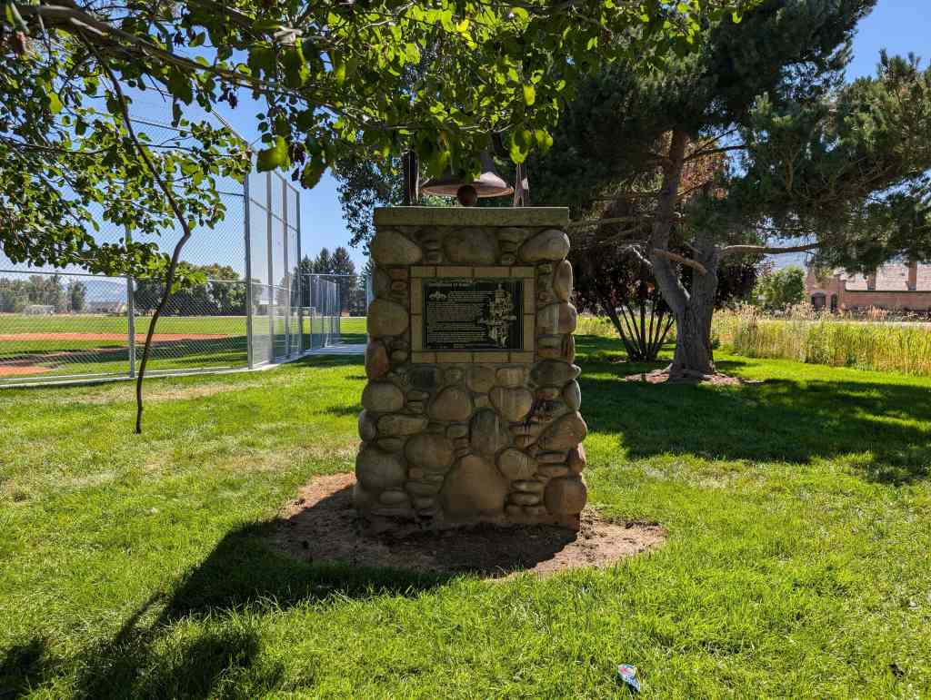
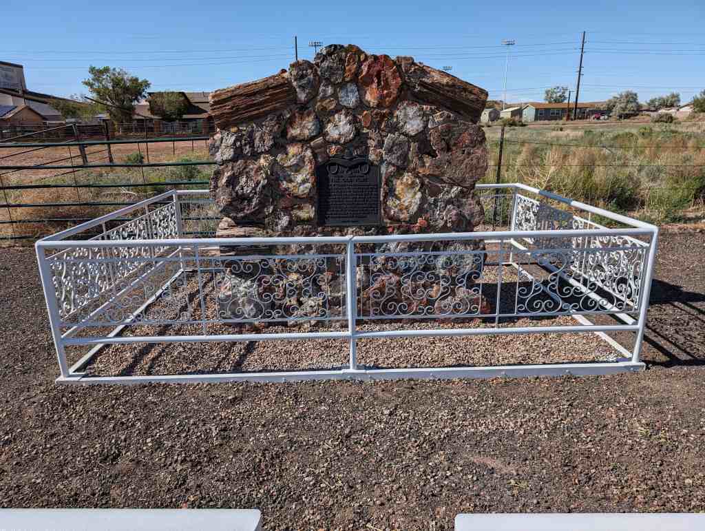
Native Sons of Kansas City historic marker #24, located at 6904 North Campbell Street in Gladstone, Missouri