• About JacobBarlow.com
  • Cemeteries in Utah
  • D.U.P. Markers
  • Doors
  • Exploring Utah Email List
  • Geocaching
  • Historic Marker Map
  • Links
  • Movie/TV Show Filming Locations
  • Oldest in Utah
  • Other Travels
  • Photos Then and Now
  • S.U.P. Markers
  • U.P.T.L.A. Markers
  • Utah Cities and Places.
  • Utah Homes for Sale
  • Utah Treasure Hunt

JacobBarlow.com

~ Exploring with Jacob Barlow

JacobBarlow.com

Tag Archives: historic

420 Second Avenue

15 Sunday Jul 2018

Posted by Jacob Barlow in Uncategorized

≈ 1 Comment

Tags

Avenues, historic, Historic Homes, NRHP, Salt Lake City, Salt Lake County, utah

2018-01-13 15.51.47

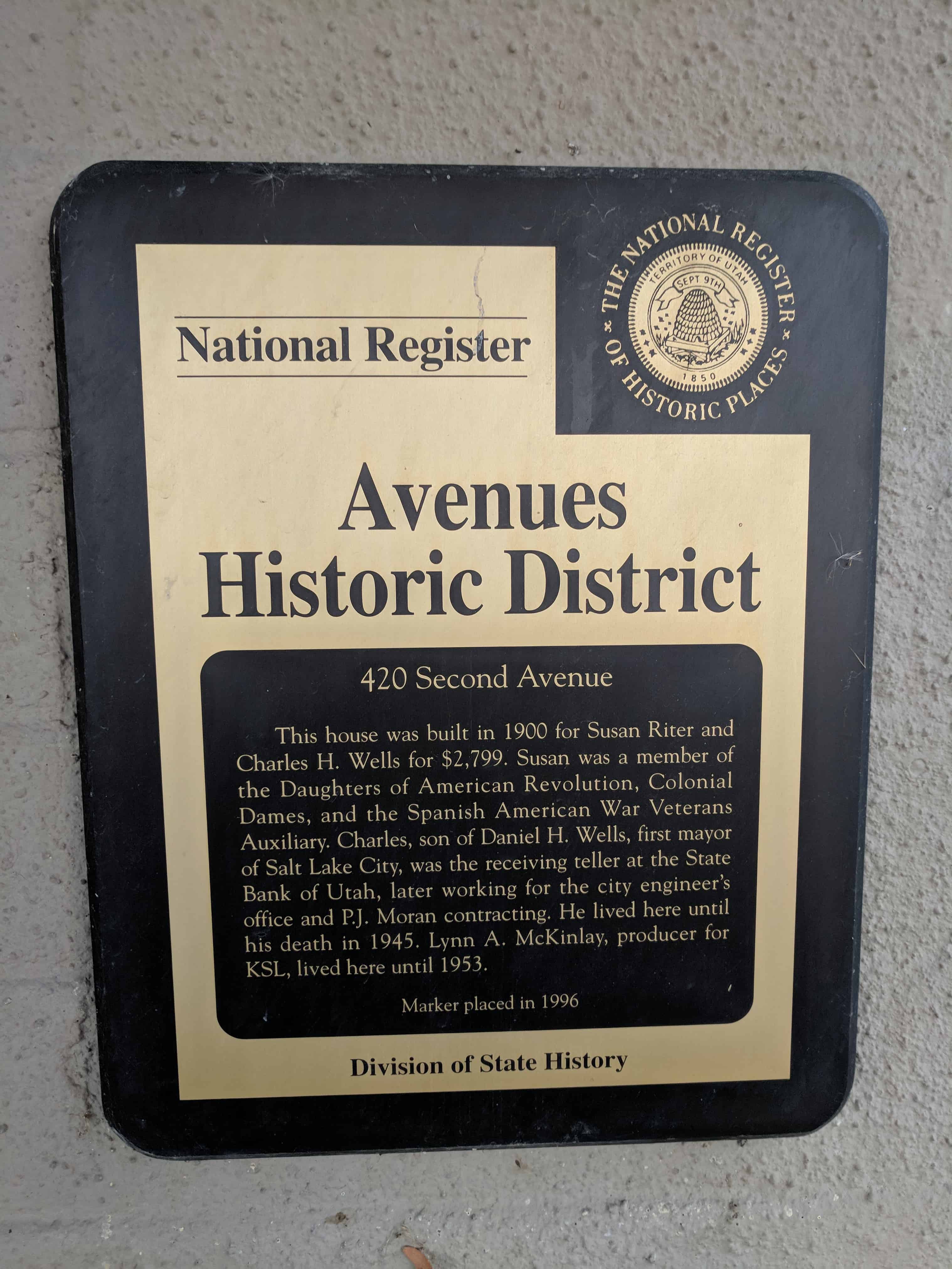
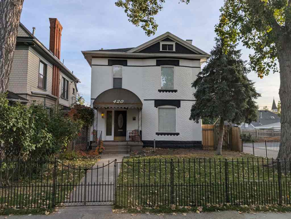
420 Second Avenue

This house was built in 1900 for Susan Riter and Charles H. Wells for $2,799.  Susan was a member of the Daughters of American revolution, Colonial Dames, and the Spanish American War Veterans Auxiliary.   Charles, son of Daniel H. Wells, first mayor of Salt Lake City, was the recieving teller at the State Bank of Utah, later working for the city engineer’s office and P.J. Moran contracting.  He lived here until his death in 1945.  Lynn A. McKinlay, produced for KSL, lived here until 1953.

Located at 420 East Second Avenue in the Avenues of Salt Lake City, Utah.

2018-01-13 15.51.51

2018-01-13 15.51.36

Tonaquint

11 Wednesday Jul 2018

Posted by Jacob Barlow in Uncategorized

≈ Leave a comment

Tags

historic, Historic Markers, St. George, SUP, utah, Washington County

2018-02-19 17.42.52

Tonaquint

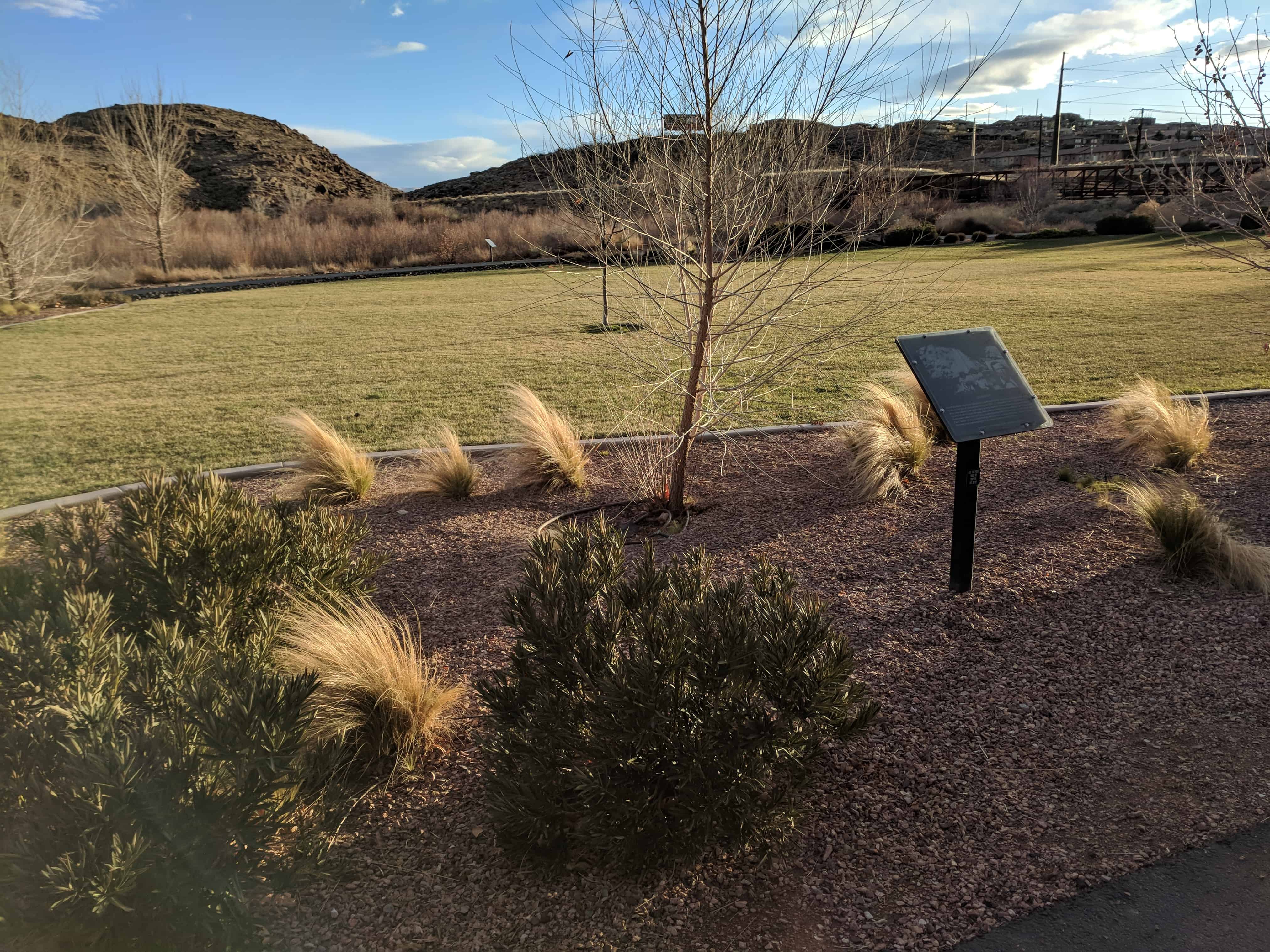
This is a historic marker located in Crosby Family Confluence Park in St. George, Utah.

This is S.U.P. Marker # 173, see the others in the series on this page.

Jacob Hamblin, pioneer, missionary and friend to the Indians, planted cottonseed in the fertile river bottoms near here in 1855. A settlement was established the next year called Tonaquint, after a local band of Indians that were located there. As part of the Cotton Mission, four families built a few log cabins and willow huts. Sometimes called Lower Clara, with nicknames of Seldom Sap, Never Sweat and Lick Skillet, it was abandoned in 1862 due to a series of floods. However, some farming was continued and it was later known as Seep Ditch.

2018-02-19 17.42.57

Brigham Young’s Vision

11 Wednesday Jul 2018

Posted by Jacob Barlow in Uncategorized

≈ Leave a comment

Tags

historic, Historic Markers, St. George, SUP, utah, Washington County

2018-02-19 17.41.10

Brigham Young’s Vision

This is a historic marker located in Crosby Family Confluence Park in St. George, Utah.

This is S.U.P. Marker # 174, see the others in the series on this page.

Near this spot, in the fall of 1859, Brigham Young, statesman and leader of the Mormon people, silently gazed at Pine Valley Mountain, and then the valley and hills of black lava and vermillion rock before him. He saw in vision a thriving community. With a sweep of his arm he spoke: “There will yet be built between those volcanic ridges, a city of spires, towers and steeples, with homes containing many inhabitants.”

2018-02-19 17.41.18

Jedediah Strong Smith

11 Wednesday Jul 2018

Posted by Jacob Barlow in Uncategorized

≈ Leave a comment

Tags

historic, Historic Markers, St. George, SUP, utah, Washington County

2018-02-19 17.40.30

Jedediah Strong Smith

This is a historic marker located in Crosby Family Confluence Park in St. George, Utah.

This is S.U.P. Marker # 176, see the others in the series on this page.

In 1826, Jedediah Smith, searching for a route to California, entered what is now Washington County by crossing the black ridge north of here then following Ash Creek to the Virgin River. He followed the Virgin River through the Virgin River Narrows (present route of I-15) overcoming many dangers associated with the steep, narrow, winding, rugged canyon. In 1827, he returned to California following the same route to the confluence of Santa Clara Creek and the Virgin River. Anxious to avoid a repetition of his experience in the Virgin River Narrows, he proceeded up Santa Clara Creek and turned southwest over the low mountain (present day Old Highway US 91) to a ravine which led him to the Beaver Dam Wash and its confluence with the Virgin River.

2018-02-19 17.40.39

The Southern Exploring Company

11 Wednesday Jul 2018

Posted by Jacob Barlow in Uncategorized

≈ Leave a comment

Tags

historic, Historic Markers, St. George, SUP, utah, Washington County

2018-02-19 17.39.45

The Southern Exploring Company

This is a historic marker located in Crosby Family Confluence Park in St. George, Utah.

This is S.U.P. Marker # 175, see the others in the series on this page.

In the fall of 1849, Brigham Young formed the Southern Exploring Company led by Parley P. Pratt. Through that winter this company of 50 men explored potential town sites and resources from Nephi to present day St. George as part of Young’s plan for a corridor to the sea, also called the Mormon Corridor. Twenty of the company under Pratt reached their further point south at the confluence of the Santa Clara and Virgin Rivers on January 1, 1850, near this monument. Their reports resulted in the settlement of all the towns between Nephi and St. George.

2018-02-19 17.39.55

Monument to the flood of 2005

11 Wednesday Jul 2018

Posted by Jacob Barlow in Uncategorized

≈ Leave a comment

Tags

historic, Historic Markers, St. George, utah, Washington County

2018-02-19 17.38.42

Monument to the flood of 2005

This is a historic marker located in Crosby Family Confluence Park in St. George, Utah.

Warm rain on recently-fallen snow in areas destroyed by wildfires during the summer of 2004 contributed greatly to the flood of January, 2005, which occurred along the Virgin and Santa Clara Rivers. Along with sever bridges in the area such as this bridge, many people lost their homes and belongings. The cost of this flood was great and extremely devastating to many family who lost everything. But the compassion that was shown that winter by the people of Saint George was something to be remembered.

This monument is dedicated to the shoes who lost so much and to those who gave much as well – families helping families, neighbors helping neighbors, and strangers helping stranger. To all who remember this flood or were in any way involved in it, we will not soon forget.

History of the Main Street Bridge

This bridge was original placed across the Ash Creek at the base of the black ridge on the old Arrowhead Trail. In 1942 Washington County decided to move this abandoned bridge ant place it at the end of Main Street in order to provide another access to Bloomington. At that time Interstate 15 was nonexistent and the south end of Main Street went up to this point where the Virgin and Santa Clara Rivers meet.

Elton McArther later know as “Weldin’ Eldon” has not yes finished welding classes when he was asked by Washington County to provide welding serviced. Washington County rented a welding machine from Ashby-McQuaid, an auto repair shop here in Saint Gerge, and along with Eldon’s Older brother Rex, they put together and welded the supporting members of this bridge.

Due to the war effort, it was difficult to find metal, but after several days the laborious task was finished. This bridge would then be used for the next 63 years as an additional access to Bloomington and as part of the bike trail until the flood in January 0f 2005 when it was ripped apart and washed away. This steel truss is all that remains today.

The Last Man Standing on the Main Street Bridge

On Tuesday, January 11th, during the flood of 2005, a citizen called the police and said that this bridge was shaking and that it might collapse. Fortunately, Captain Lorin Johnson was close by. He drove over to the bridge as he spoke with the gentleman who called the police he could see the bridge sinking slowly and the concrete start to crack. Carly, he told everyone to get off the bridge. People came from both directions of the bike trail to see what was happening and Captain Johnson kept them from coming too close. Very quickly the west side collapsed. The steel screamed as it bent. Rivets popped and the bridge dropped three or four feet into the water. The north side of the bridge disconnected, and as the river pulled it downstream, it broke in two. Had of the bridge floated down the river, and the other half wrapped around itself to the south bank. A small part of the bridge was left, including the steel girder you see before you. Thanks to Captain Johnson citizens were spared injury that day.

2018-02-19 17.38.54

2018-02-19 17.38.51

The Confluence of the Santa Clara and Virgin Rivers

11 Wednesday Jul 2018

Posted by Jacob Barlow in Uncategorized

≈ Leave a comment

Tags

historic, Historic Markers, St. George, utah, Washington County

2018-02-19 17.38.15

The Confluence of the Santa Clara and Virgin Rivers

This is a historic marker located in Crosby Family Confluence Park in St. George, Utah.

In November 1849 a little-known expedition was sent by Brigham Young to explore southern Utah for possible future settlement. This fifty-man party was led by Apostle Parley P. Pratt.

On Tuesday, January 1, 1850, twenty horse-mounted members of this party made camp near the confluence of the Santa Clara and Virgin Rivers. This historic event was mentioned in their journals and the union of these rivers can be seen from this mark. After their long difficult winter journeyer that at times requires struggling through snow up to four feet deep, they brought back descriptions and information that soon led to the settling of southern Utah.

In his report to the territorial legislature Pratt wrote:

“I arrived home on Wednesday evening, the 30th of Jan. having been absent ten weeks. The pack company soon after, some with frozen limbs but I believe generally in good health and Spirits.

I now wish to bear witness of the fifty who accompanied me on this expedition, and to have them in honorable remembrance…I Have never seen men placed in circumstances better calculated to try their utmost strength and patience. And at onetime, another half-mile of deep snow intervening between them and camp would have cause every man to sink exhausted without being able to force their way any longer.

They are first-rate men, and I have promised to remember them for the very next undertaking which requires toil, labor and sacrifice.”

I have the honor to subscribe myself your obedience servant,
Parly P. Pratt”

2018-02-19 17.38.20

108 C Street

11 Wednesday Jul 2018

Posted by Jacob Barlow in Uncategorized

≈ 1 Comment

Tags

Avenues, Avenues Historic District, historic, Historic Homes, NRHP, Salt Lake City, Salt Lake County, utah

2018-01-13 15.48.52

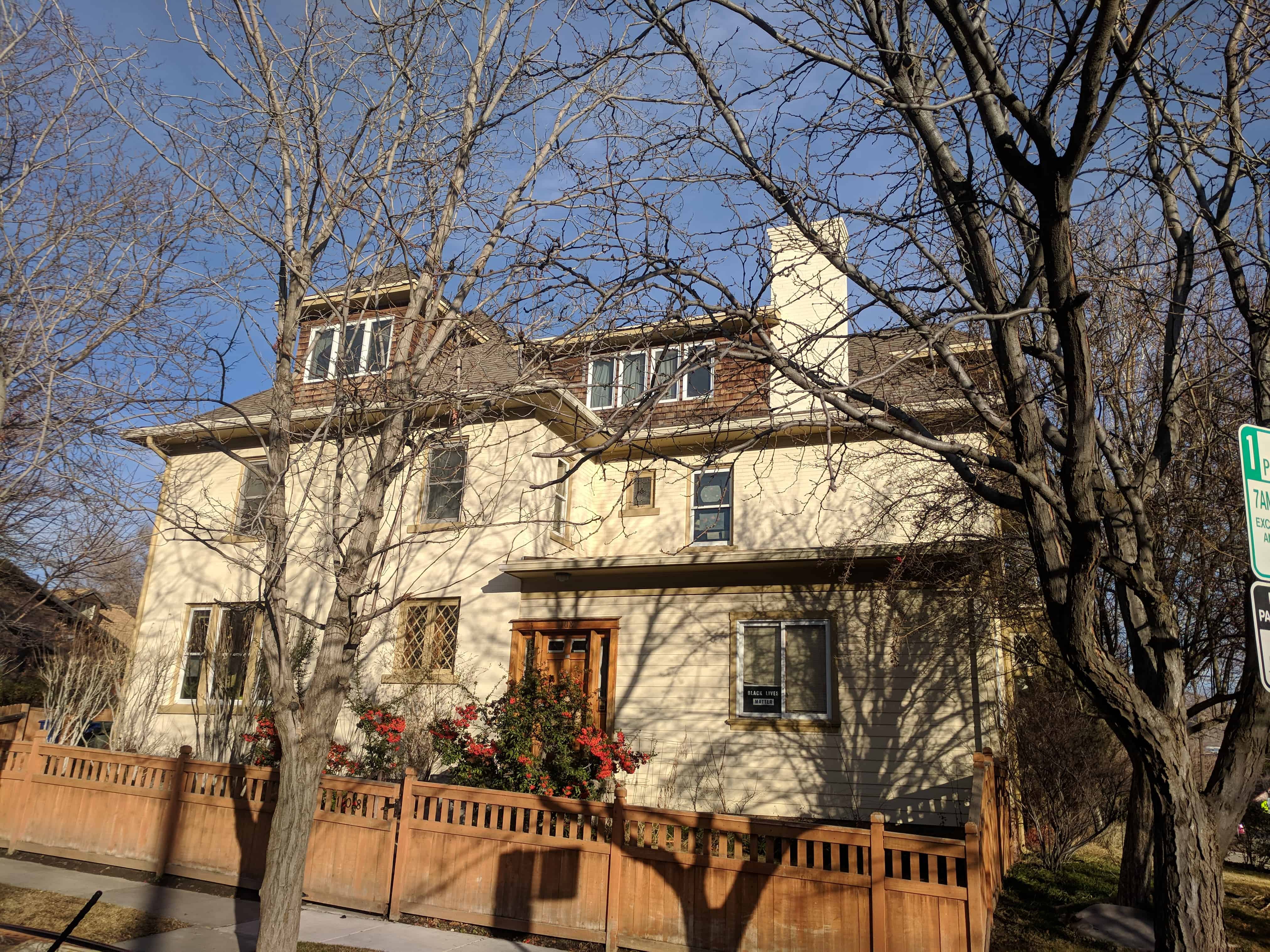
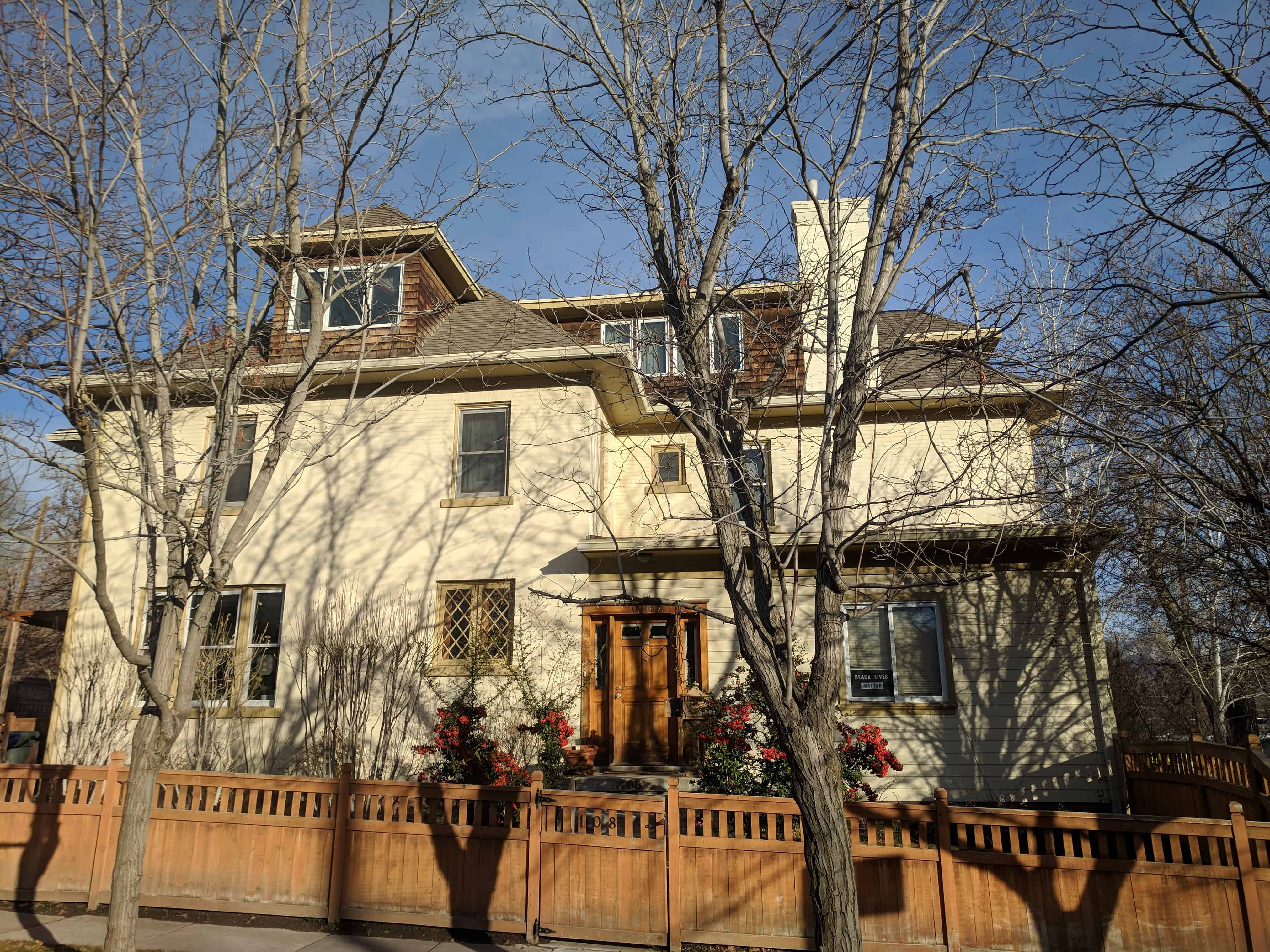
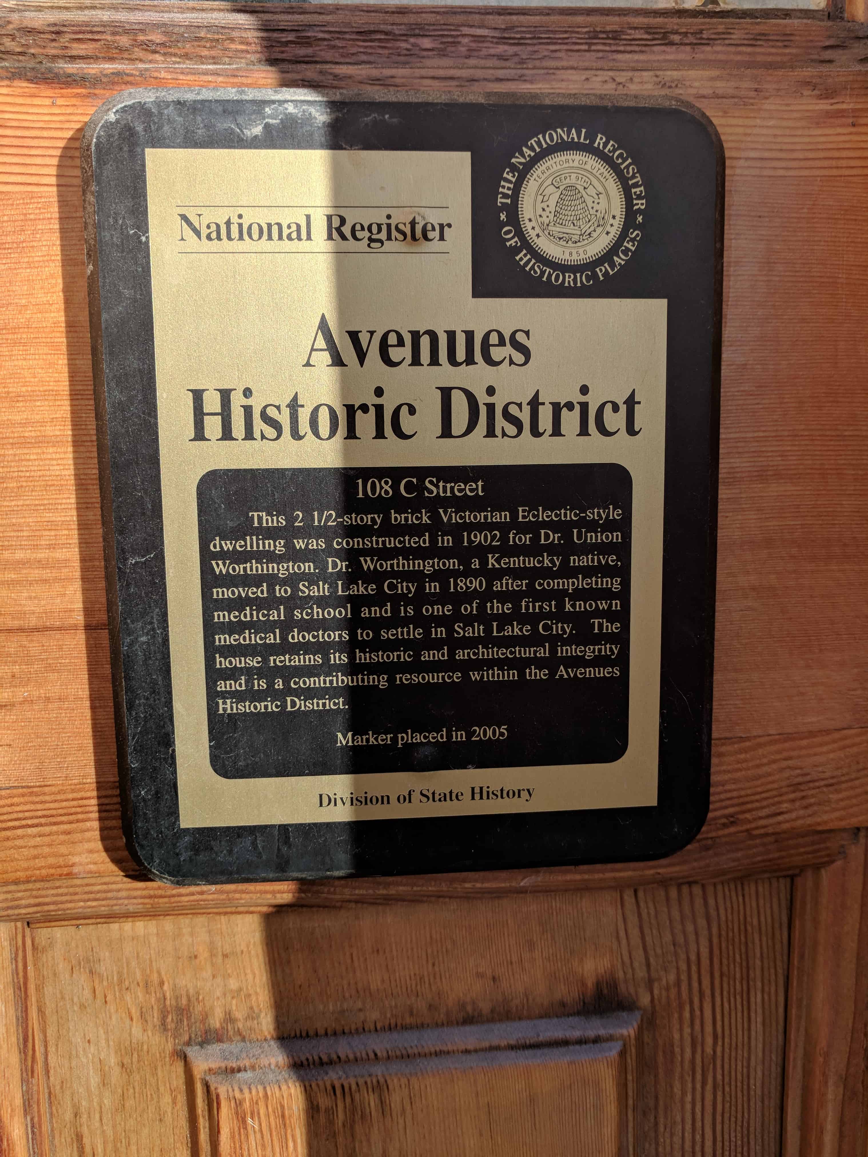
This 2 1/2-story brick Victorian Eclectic-style dwelling was constructed in 1902 for Dr. Union Worthington.  Dr. Worthington, a Kentucky native, moved to Salt Lake City in 1890 after completing medical school and is one of the first known medical doctors to settle in Salt Lake City.  The house retains its historic and architectural integrity and is a contributing resource within the Avenues Historic District.

108 North C Street in The Avenues in Salt Lake City, Utah

2018-01-13 15.48.56

2018-01-13 15.48.20

Saint George City Cemetery

04 Wednesday Jul 2018

Posted by Jacob Barlow in Uncategorized

≈ 2 Comments

Tags

Cemeteries, historic, St. George, utah, Washington County

2018-02-19 17.13.10

Saint George City Cemetery

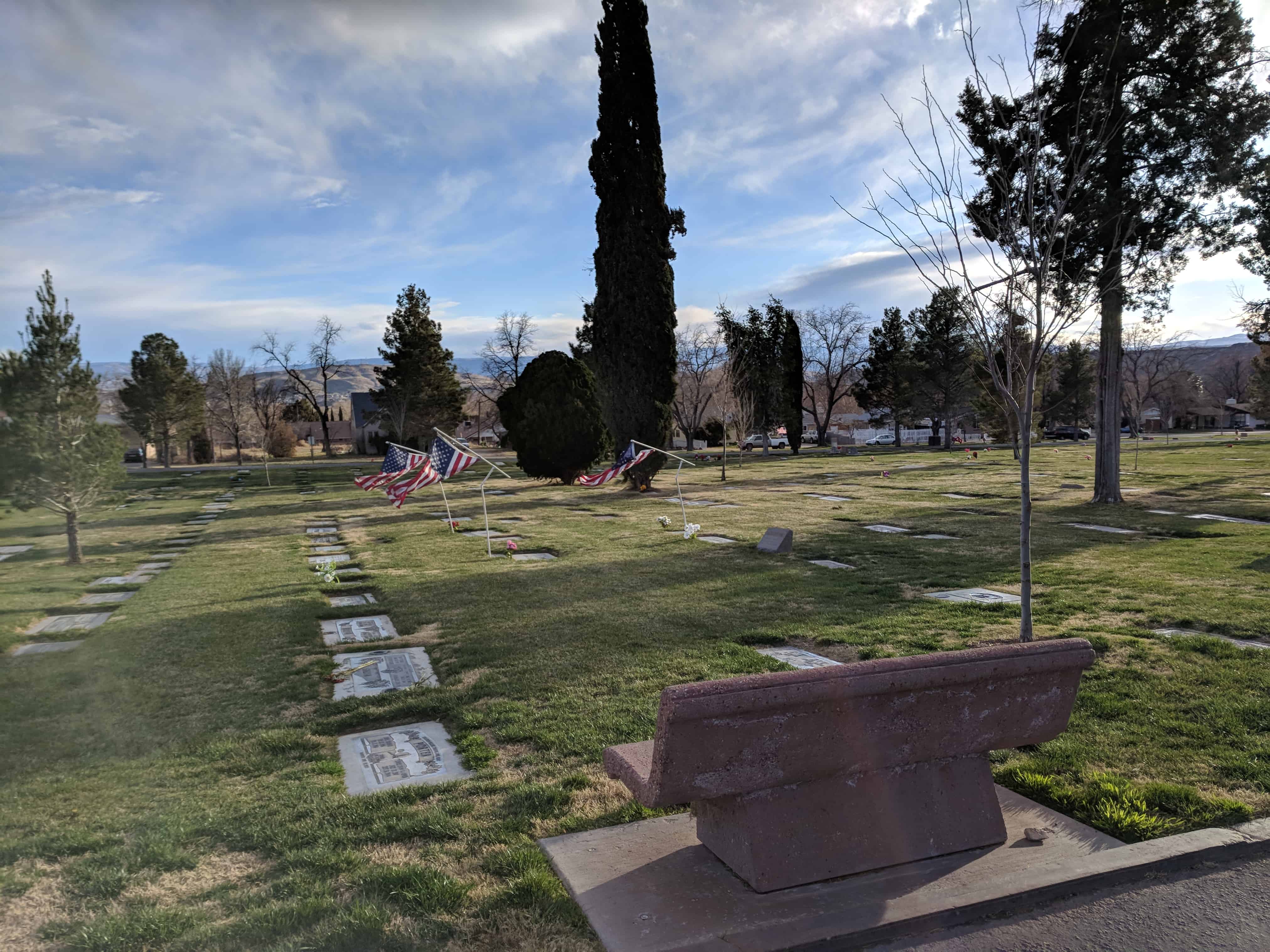
The cemetery in St. George, Utah.

Related posts:

  • Oswald Barlow’s Grave
  • Shem’s Grave

2018-02-19 17.13.28

2018-02-19 17.13.33

2018-02-19 17.18.25

2018-02-19 17.18.27

2018-02-19 17.21.50

2018-02-19 17.21.56

2018-02-19 17.22.04

2018-02-19 17.25.23

Suicide Rock & the Reservoir

29 Friday Jun 2018

Posted by Jacob Barlow in Uncategorized

≈ 1 Comment

Tags

historic, Historic Markers, Parley's Canyon, Salt Lake City, Salt Lake County, SUP, utah

  • 2018-03-03 11.35.47

Suicide Rock & the Reservoir

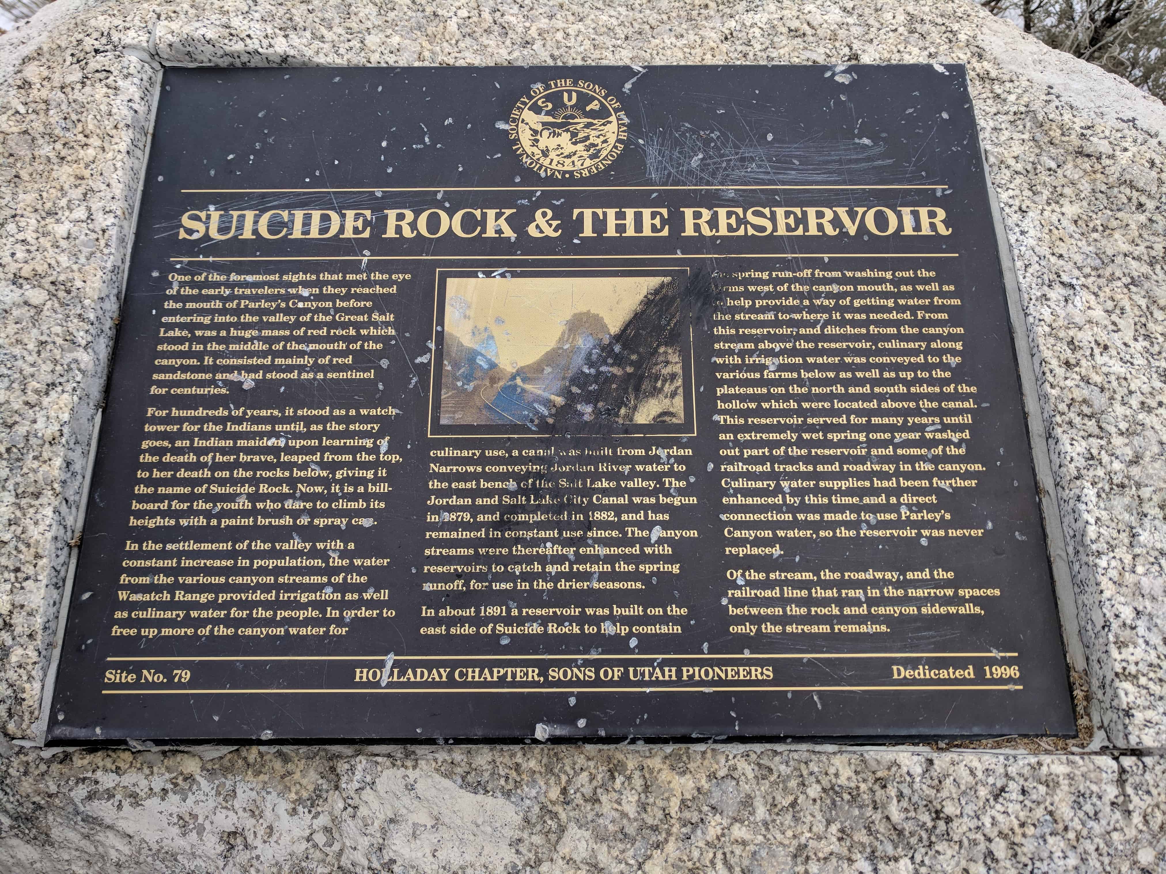
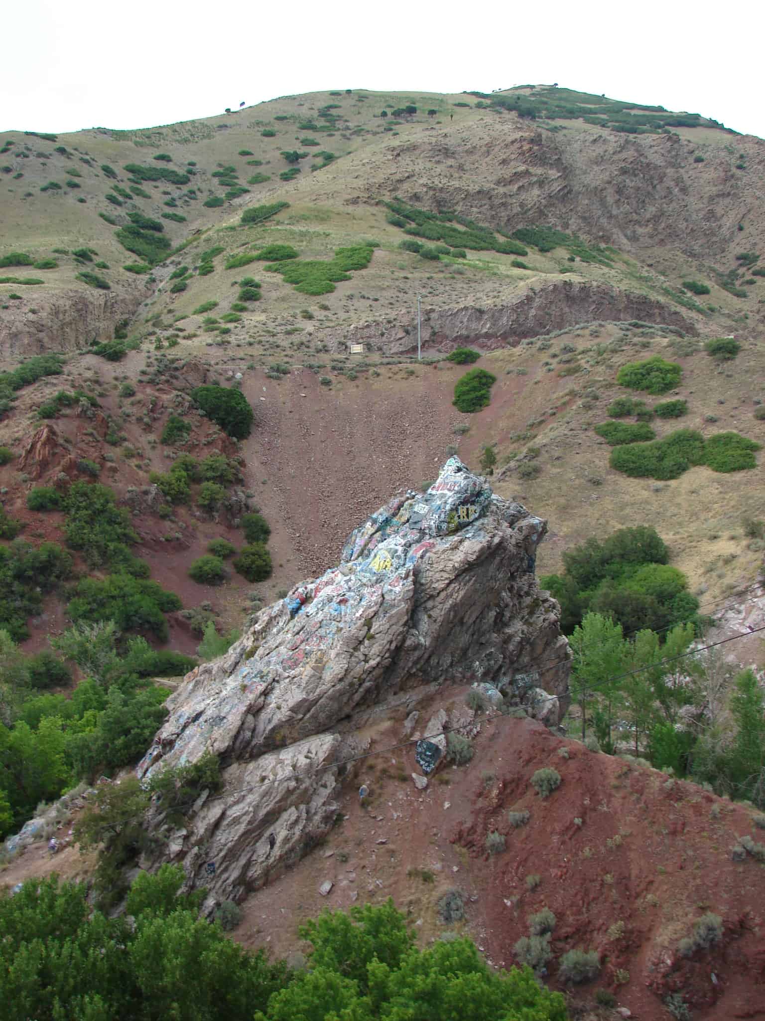
One of the foremost sights that met the eye of the early travelers when they reached the mouth of Parley’s Canyon before entering into the valley of the Great Salt Lake, was a huge mass of red rock which stood in the middle of the mouth of the canyon. It consisted mainly of red sandstone and had stood as a sentinel for centuries.

For hundreds of years, it stood as a watch tower for the Indians until, as the story goes, an Indian maiden upon learning of the death of her brave, leaped from the top, to her death on the rocks below, giving it the name of Suicide Rock. Now, it is a billboard for the youth who dare to climb its heights with paint brush or spray can.

In the settlement of the valley with a constant increase in population, the water from the various canyon streams of the Wasatch Range provided irrigation as well as culinary water for the people. In order to free up more of the canyon water culinary use, a canal was built from Jordan Narrows conveying Jordan River water to the east bench of the Salt Lake valley. The Jordan and Salt Lake City Canal was begun in 1879, and completed in 1882, and has remained in constant use since. The canyon streams were thereafter enhanced with reservoirs to catch and retain the spring runoff, for use in the drier seasons.

In about 1891 a reservoir was built on the east side of Suicide Rock to help contain the spring run-off from washing out the farms west of the canyon mouth, as well as to help provide a way of getting water from the stream to where it was needed. From this reservoir, and ditches from the canyon stream above the reservoir, culinary along with irrigation water was conveyed to the various farms below as well as up to the plateaus on the north and south sides of the hollow which were located above the canal. This reservoir served for many years until an extremely wet spring one year washed out part of the reservoir and some of the railroad tracks and roadway in the canyon. Culinary water supplies had been further enhanced by this time and a direct connection was made to use Parley’s Canyon water, so the reservoir was never replaced.

Of the stream, the roadway, and the railroad line that ran in the narrow spaces between the rock and canyon sidewalks, only the stream remains.

This is S.U.P. Marker # 79, to see the others in the series visit this page.

  • 2018-03-03 11.35.26
  • 2018-03-03 11.35.31
  • 2018-03-03 11.32.36
  • 2018-03-03 11.35.51

← Older posts
Newer posts →

Follow Jacob

Follow Jacob

Come wander with me on Youtube.

Blog Stats

  • 2,197,762 hits

Social and Other Links

BarlowLinks.com

Recent Posts

  • 416 W 3900 S
  • 2005 E 3300 S
  • Effie Louisa Buchanan
  • Kansas State Capitol
  • 93 E 300 S

Archives

Loading Comments...