Jacob Hamblin House
Jacob Hamblin arrived in Santa Clara, Utah as early as 1854 with several other young Indian missionaries. Their task was to convert the Lamanites to the Mormon Church, if possible, and develop peaceful relationships with them in any case.
The Jacob Hamblin House is located at 3400 Hamblin Drive in Santa Clara, Utah and was added to the National Historic Register (#71000860) on March 11, 1971.
By 1856 the missionaries brought their wives to Fort Clara where a meager livelihood was obtained by hard work and irrigation. In 1857 Jacob was appointed president of all the Southern Indian Missions by Brigham Young His duties increased greatly with the unrest associated with the Mountain Meadows Massacre in September 1857. Hamblin and Thales Haskell both were in the north courting and marrying young wives, The foursome returned to Santa Clara via Mountain Meadows, one of the first groups to witness the carnage. Hamblin aided in the recovery and return of the surviving children.
The Buckskin Apostle had a difficult time pacifying the Indians toward the Mormons, while seeking their alliance against Johnston’s Army during the Mormon War of 1857-1858. Jacob Hamblin was trusted by the Indians. He believed in absolute honesty when dealing with them, in showing no fear under any condition, but he also demanded justice from them as well.
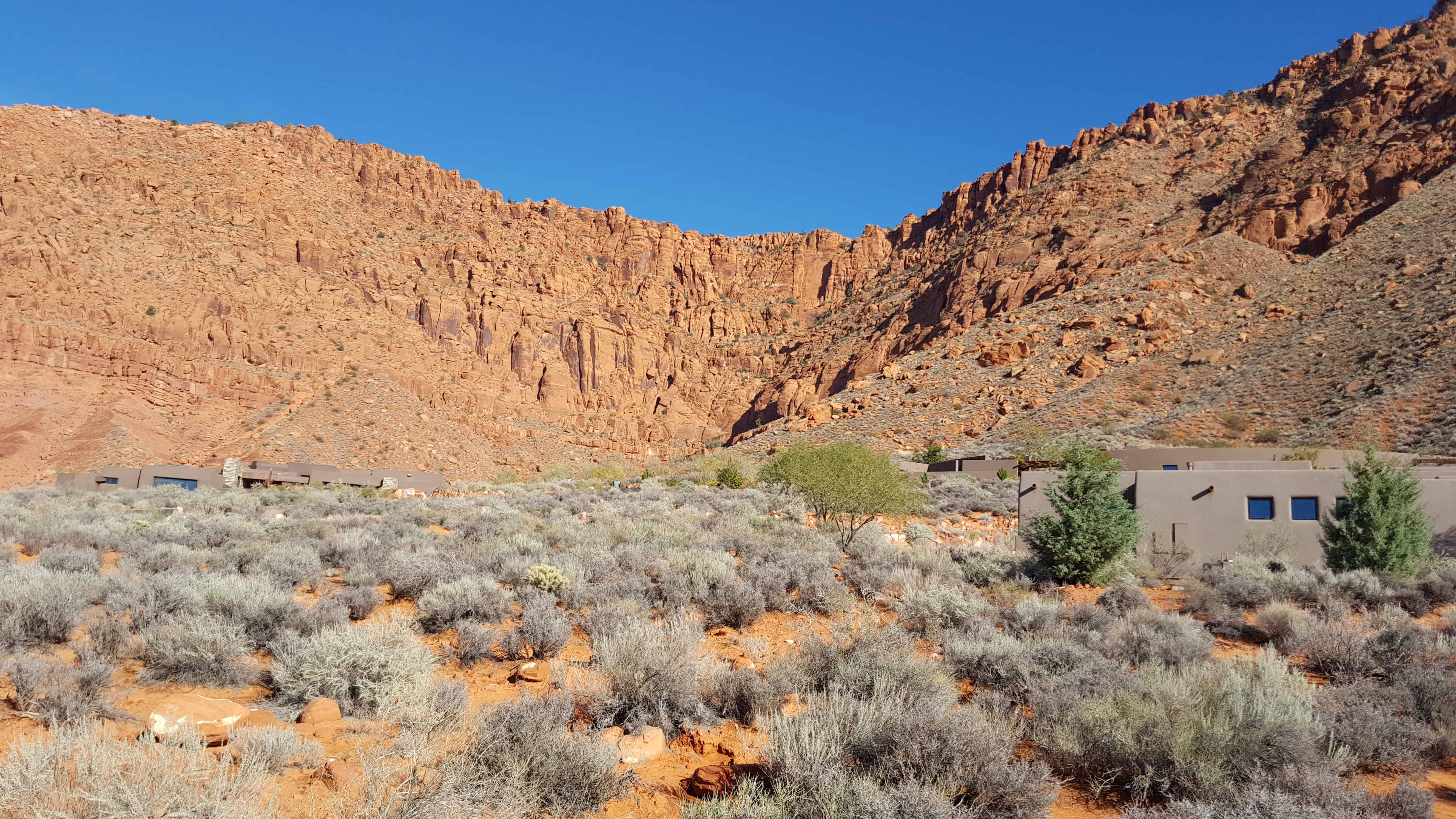
Life at Fort Clara continued difficult. Tragedy came often. In the fall of 1861 Swiss colonists arrived at the new settlements, but barely in time to witness a large flood in the Clara River wipe out the whole settlement early in 1862. As Hamblin was constantly away exploring or negotiating with the Indians, he was unable to provide for his families. Consequently, in 1863 missionaries were called to build Hamblin a home. His two wives moved in as soon as it was finished.
Jacob Hamblin made several exploring trips across the Colorado between 1858-1863, being the first person to circumnavigate the region of the Grand Canyon. He also explored a wagon route to the Colorado River near Callville (Las Vegas area) in 1864. In conjunction with Henry W. Miller and Jesse W. Crosby, Hamblin took a boat to the Colorado River at the mouth of Grand Wash in 1867, and they were the first white men known to have navigated the river from that point to the Virgin Rivers confluence about 75 miles down stream. Hamblin also assisted John Wesley Powell in his surveys of the Colorado River area. Together they helped negotiate a peace treaty with Navajo at Fort Defiance.
When Hamblin moved to Kanab, the home was leased to a Mr. Bauman who used the home to produce wine. Later his daughter married into the Samuel Knight family, which retained control of it until Clara Hamblin Harmon, a granddaughter of Jacob, purchased it. The home was very de lapidated when the State Parks and Recreation Division took custody of it in 1959.
It is fitting that Jacob Hamblin’s church-built home should be preserved as a monument to this southwestern pioneer. Because he was also a polygamist the Buckskin Apostle, when he died August 31, 1886, was a fugitive from justice. His last years were spent in southern Utah, Arizona, New Mexico and Old Mexico.