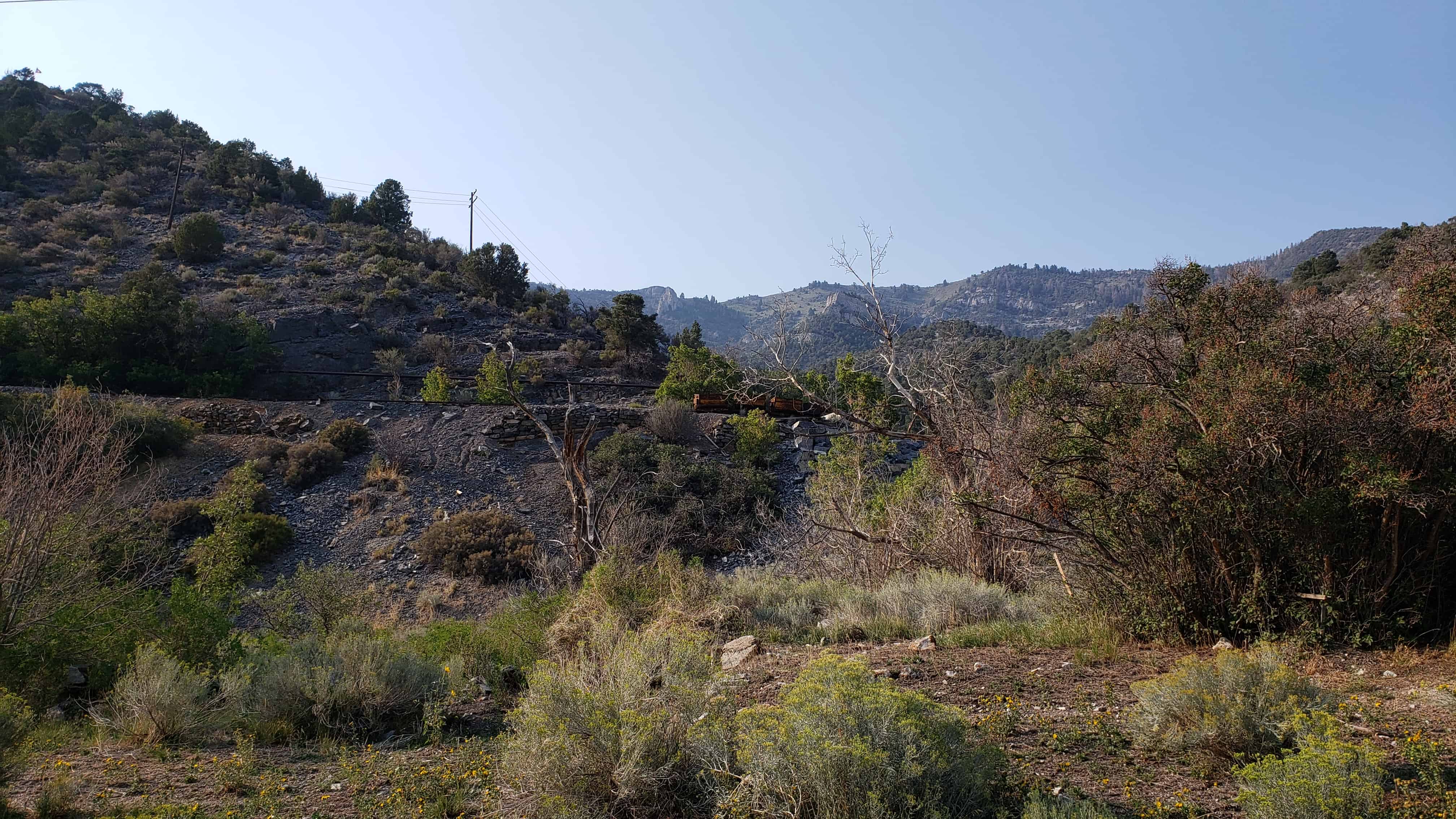
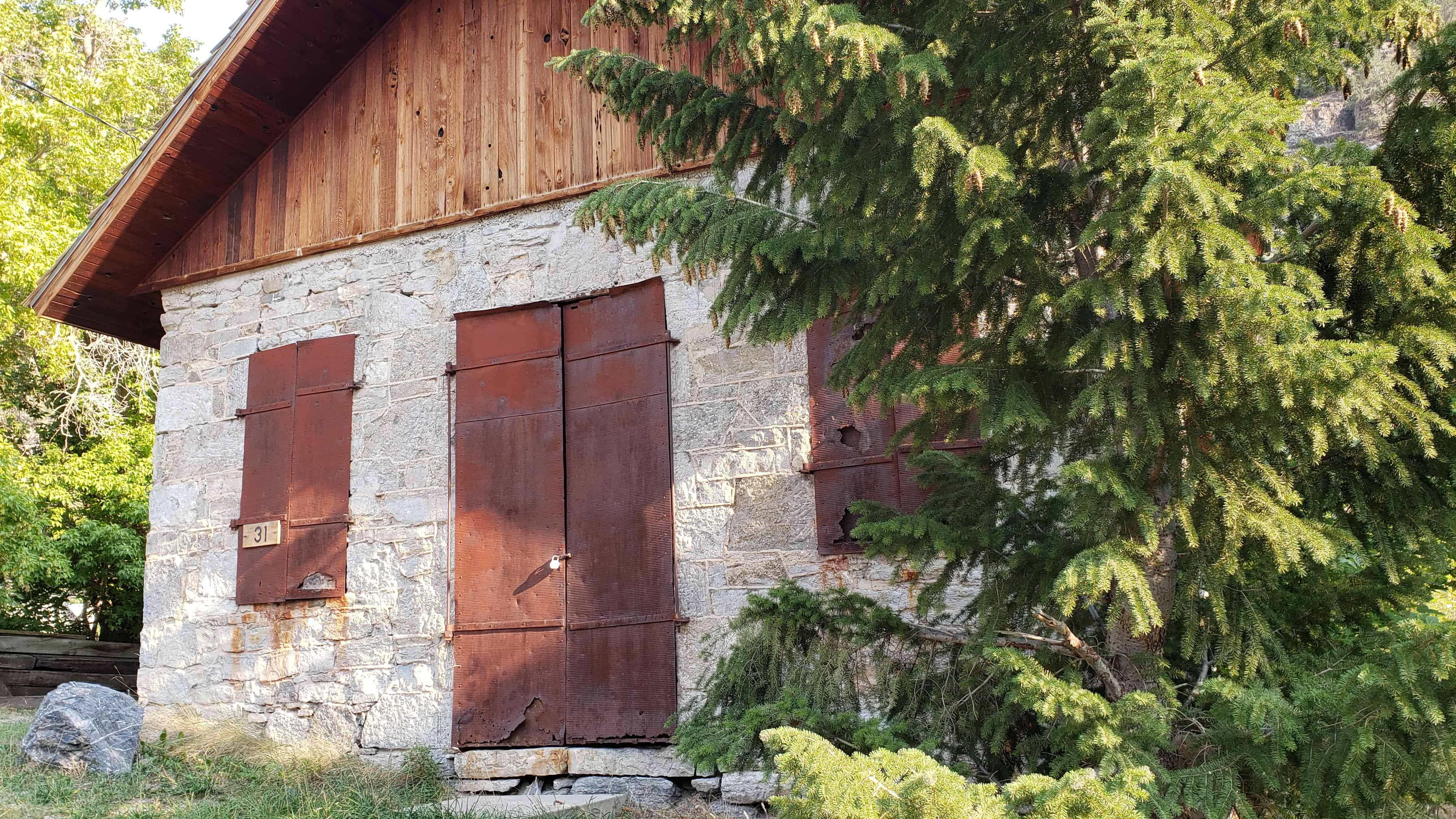
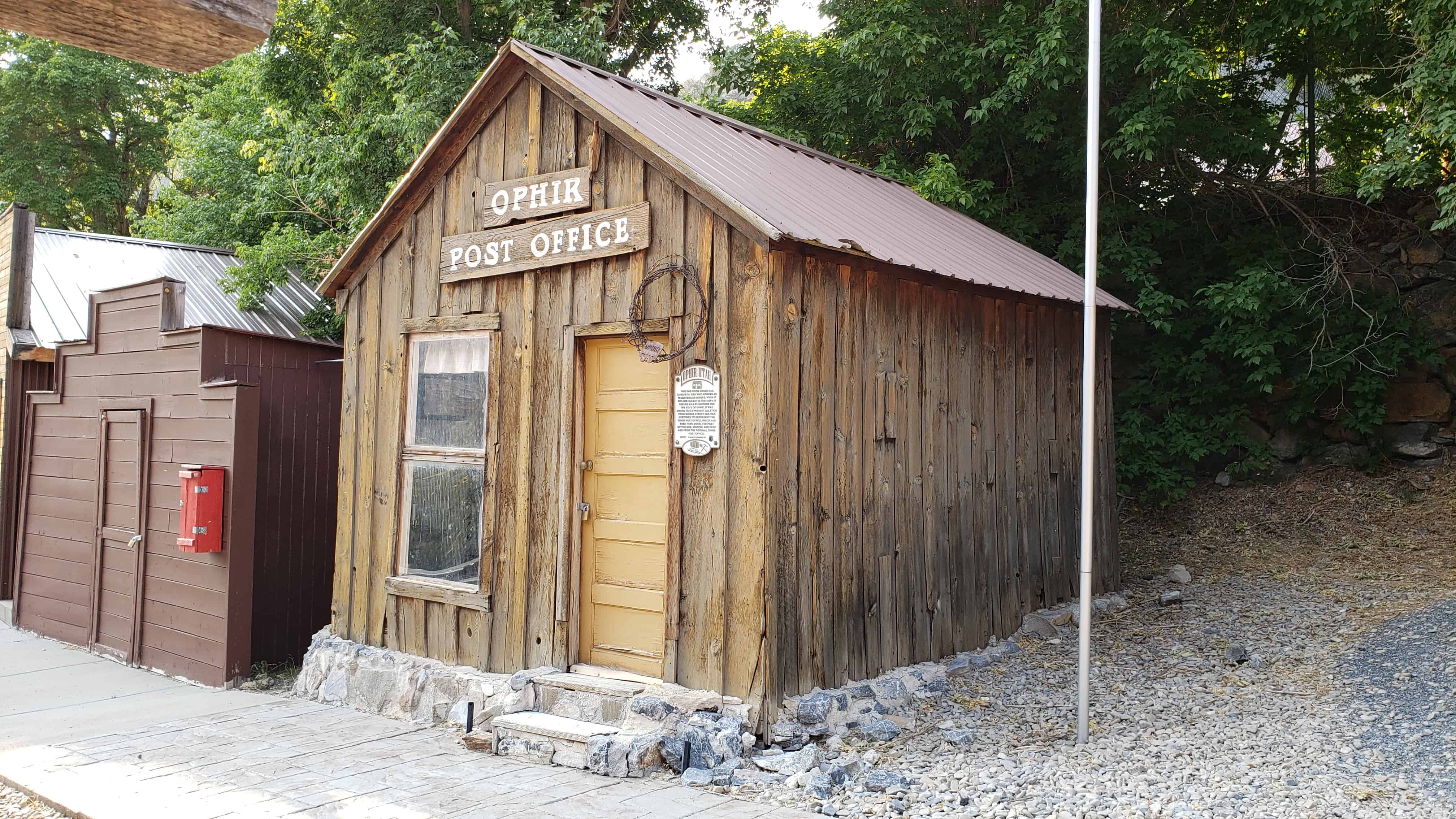
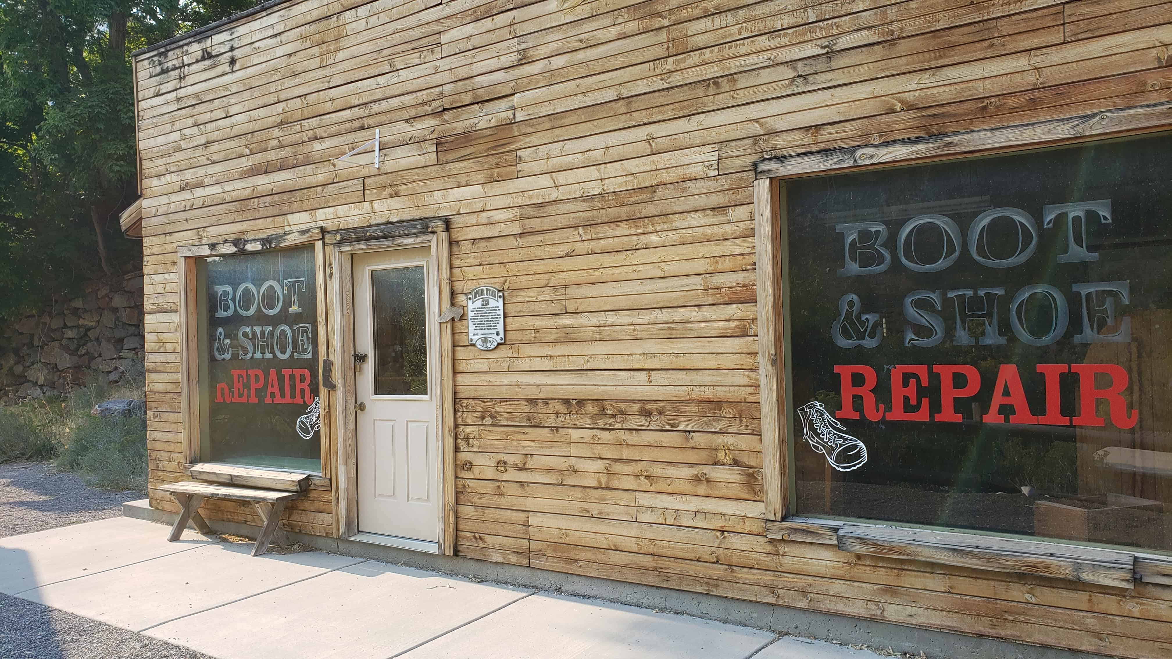
The town was built about 1875 around the mining of Lime Rock which was used by area smelters. The town died in 1937. (These Photos were taken May 16 1990). No one lives here.
Submitted by Bob Bezzant.
Topliff began in 1875 as a joint venture between the local smelters to find a source of Limestone. After the rock was found, a rail line was run down to haul out the crused limestone, a trainload/day. When the quarry was shut down in 1937 all of the homes and rail lines were torn up and hauled up north to Fairfield.
Submitted by Ed Topliff. – (source)
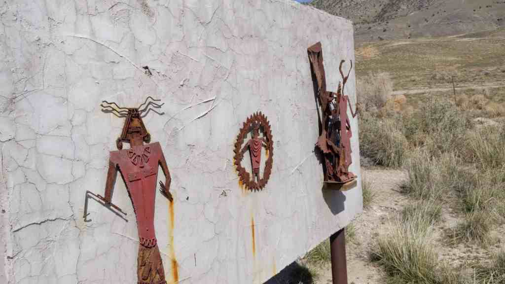
The Iosepa Community developed after Polynesian converts to the Mormon faith were employed as laborers by the Iosepa Agriculture and Stock Company in 1889. After numerous hardships, including bouts with leprosy, the colony attained a degree of financial independence and its population reached 228. In 1915 when the L.D.S. Church began to build the Hawaiian Temple, the need for “gathering” subsided. The Iosepa project was allowed to end and most of the settlers and their children returned to the Islands by 1917.
Mormon Church Converts from Polynesia settled in Skull Valley in 1889-1917. Working for the Church-owned Iosepa Agriculture and Stock Company.
Their settlement was named Iosepa (Joseph) after Joseph F. Smith, then President of the church flourished until 1917 when a Hawaiian Temple was constructed. Most of the Islanders returned to their homeland, many who succumbed to the hardships of the land are buried in this cemetery.
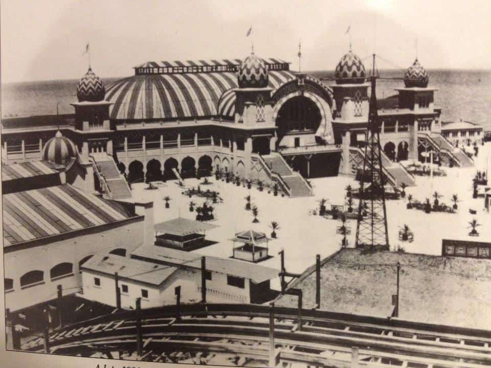
Saltair has been several resorts on the shore of the Great Salt Lake. The first was built in 1893 and designed by Richard K.A. Kletting, resting on over 2,000 posts holding it above the water. It burned down in 1925.
The replacement, Saltair II lasted until it shut down in 1958 and the remains burned by arson in 1970.
Faust is a settlement located in central Tooele County, Utah. It was founded by Henry J. Faust (born Heinrich Jacob Faust), a Mormon immigrant from Germany. In 1860 he managed Faust Station on the Pony Express trail. In 1870 Henry Faust and his wife moved to Salt Lake City. Faust has been used by the Union Pacific Railroad to house workers on the site. The area is popular with campers, mountain bikers, off road vehicle enthusiasts, and hikers during the summer months. Henry J. Faust was an ancestor of James E. Faust.
William and Emma J. Hughes Ajax The unique two-story underground building was established in 1870. Shortly thereafter a post office called “Centre” was added. The building was 80 x 100 feet, in some places the lower floor was 20 feet below ground. The excavation was done by William Ajax using a shovel and wheelbarrow. The building’s support timbers were cut from juniper and pine trees. These trees were located in the mountains west of here where he walked to and from each day to cut the timbers. The roof was constructed of poles covered with juniper boughs, sod and clay. The store was illuminated by sunlight coming through south-facing windows in the roof. Shoppers were offered a wide variety of merchandise, food, clothing, housewares, hardware, tools and medicine. Goods were arranged in department store style. It was estimated the value of the merchandise was in excess of $70,000.
Patrons came from the mining camps, sheep and cattle ranches and the communities of Rush and Vernon Valley. Meals and lodging for travelers were provided. Their livestock was also cared for in sheds and corrals located west of the present highway. Wild grass-hay was cut in nearby meadows. It was sold to miners in Stockton, Ophir and Mercur. The coming of the railroad through Rush Valley made supplies and travel more accessible, thus ending much of the need for a store in the area. William Ajax died in 1899, his family operated the store until 1914 when they liquidated the merchandise.
The building was abandoned, and later it was burned, (perhaps railroad transients camping at the building). All that remains are the mounds of dirt just east of the monument.
This illustration depicts the living quarters where meals and lodging were provided. A portion of the underground store was under this building.
See other historic markers in the series on this page for SUP Markers.
Richville was located between Lake Point and Tooele near the former site of E. T. City. Saw, woolen, and flour mills were built nearby and subsequently names were developed: Mills, Milton, Millvale, and Milltown. For a short period of time Richville was the county seat. After the county seat was moved to Tooele and the mills shut down, the community was abandoned. Today it is Mills Junction.
The U-138 exit from I-80 leads into a brief corridor of gas stations and convenience stores and continues through present-day Lake Point and Mills Junctions, two adjacent communities whose borders essentially overlap. This corridor was an important meeting place in pioneer times.
Near here, Adobe Rock, a large outcrop at the northwest point of the Oquirrh Mountains, was a favorite pioneer rendezvous spot. Its name came from a small adobe house Captain Howard Stansbury (a U.S. surveyer of the area) had built nearby to house his herders. It was the site of many travelers’ camps and a familiar point of reference. The Donner party camped near Adobe Rock in 1846. On July 27, 1847, apostle Orson Pratt and two other men climbed to the top of the rock to get a view of the Tooele Valley. Later, when Brigham Young came to visit the settlements, this was where he was greeted.
Mormon Pioneers quickly took advantage of mountain streams in the area to power their gristmills. The mills were eventually closed, and by 1889 the town of Mills Junction was abandoned. The Benson mill, constructed in 1854 by the grandfather of Ezra Taft Benson, and LDS apostle and two-term secretary of agriculture under President Eisenhower who later became LDS Church president, has been restored and operates as a museum. The mill is open from April through October.(*)
Returning from California, first explorer to cross the Sierra Nevadas and the Great Basin from West to East.
June 27, 1827 … Coming to a point of the ridge which formed the Eastern boundary of the valley I saw an expanse of water extending far to the North and East. The Salt Lake a joyful sight was spread before us.”
Smith traveled more unknown wilderness than any contemporary of the century.
Another Marker about Jedediah is in downtown Ogden here.