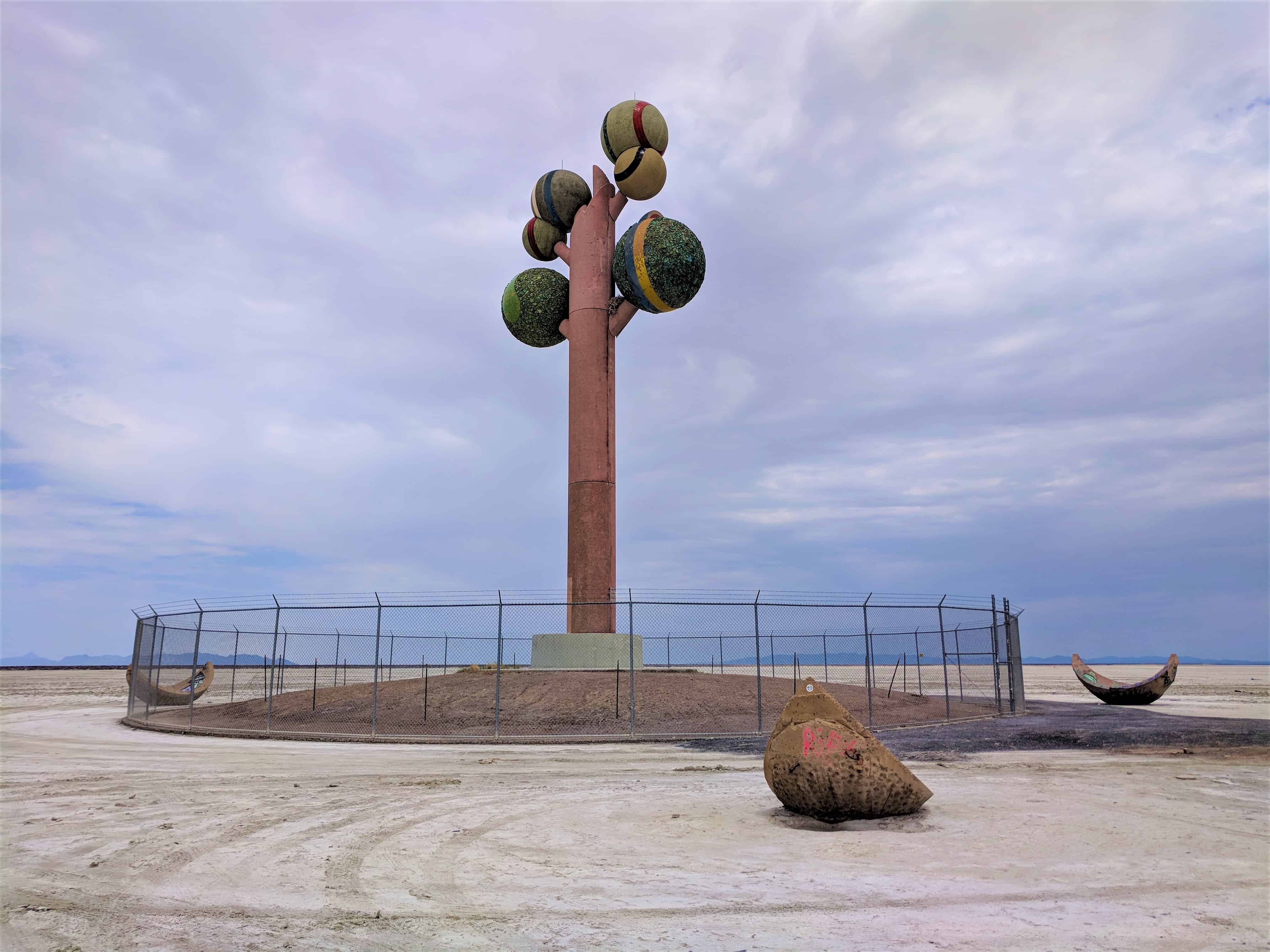
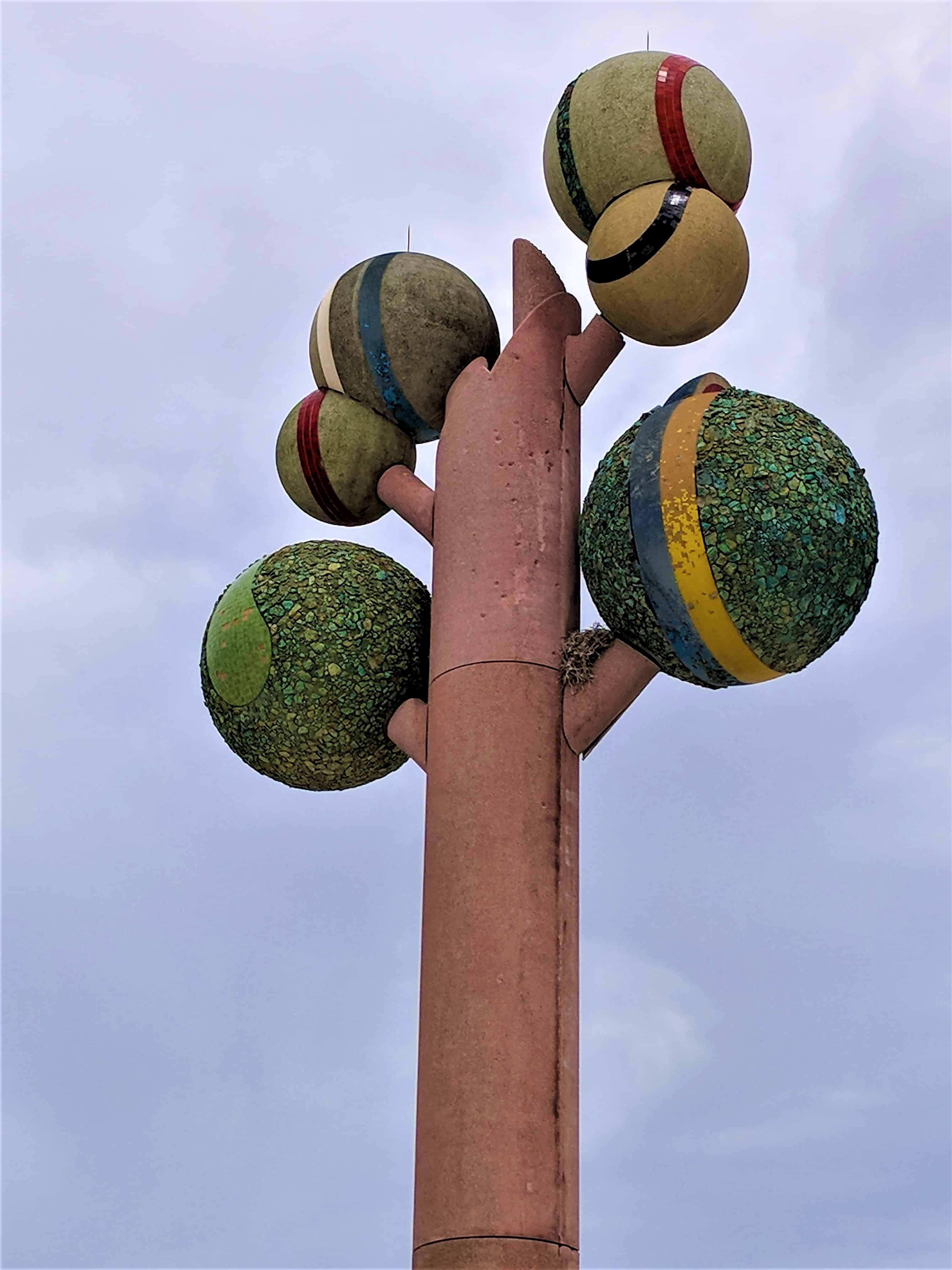
Metaphor: The Tree of Utah, sometimes called the Tree of Life, is an 87-foot-tall sculpture that was created by the Swedish artist Karl Momen in the 1980s and dedicated in 1986. It is located in the desolate Great Salt Lake Desert of Utah on the north side of Interstate 80, about 25 miles east of Wendover and midway between the former railroad communities of Arinosa and Barro. The sculpture, which is constructed mainly of concrete, consists of a squarish ‘trunk’ holding up six spheres that are coated with natural rock and minerals native to Utah. There are also several hollow sphere segments on the ground around the base. The sculpture currently has a fence surrounding the base to protect people from falling tiles.
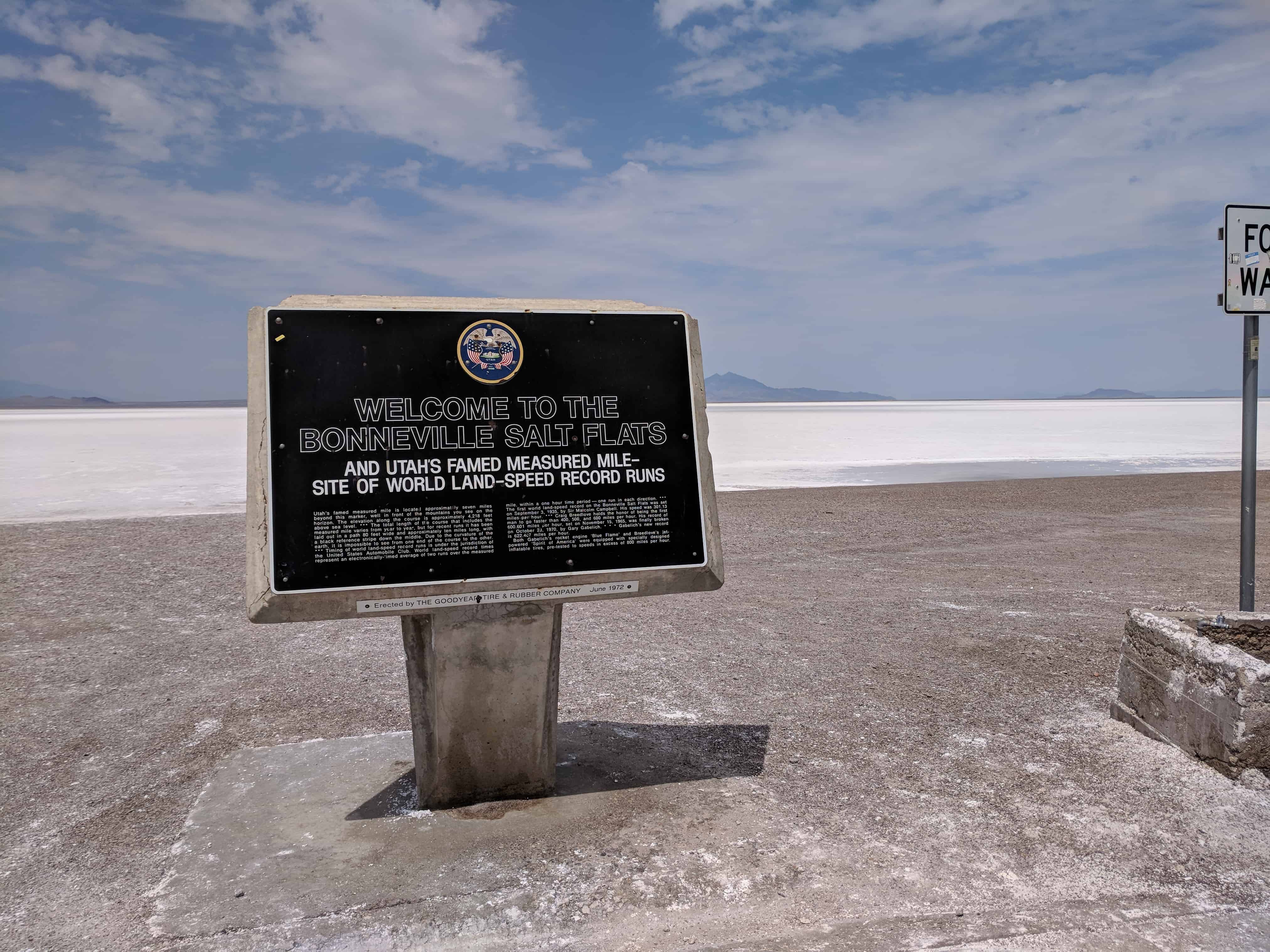
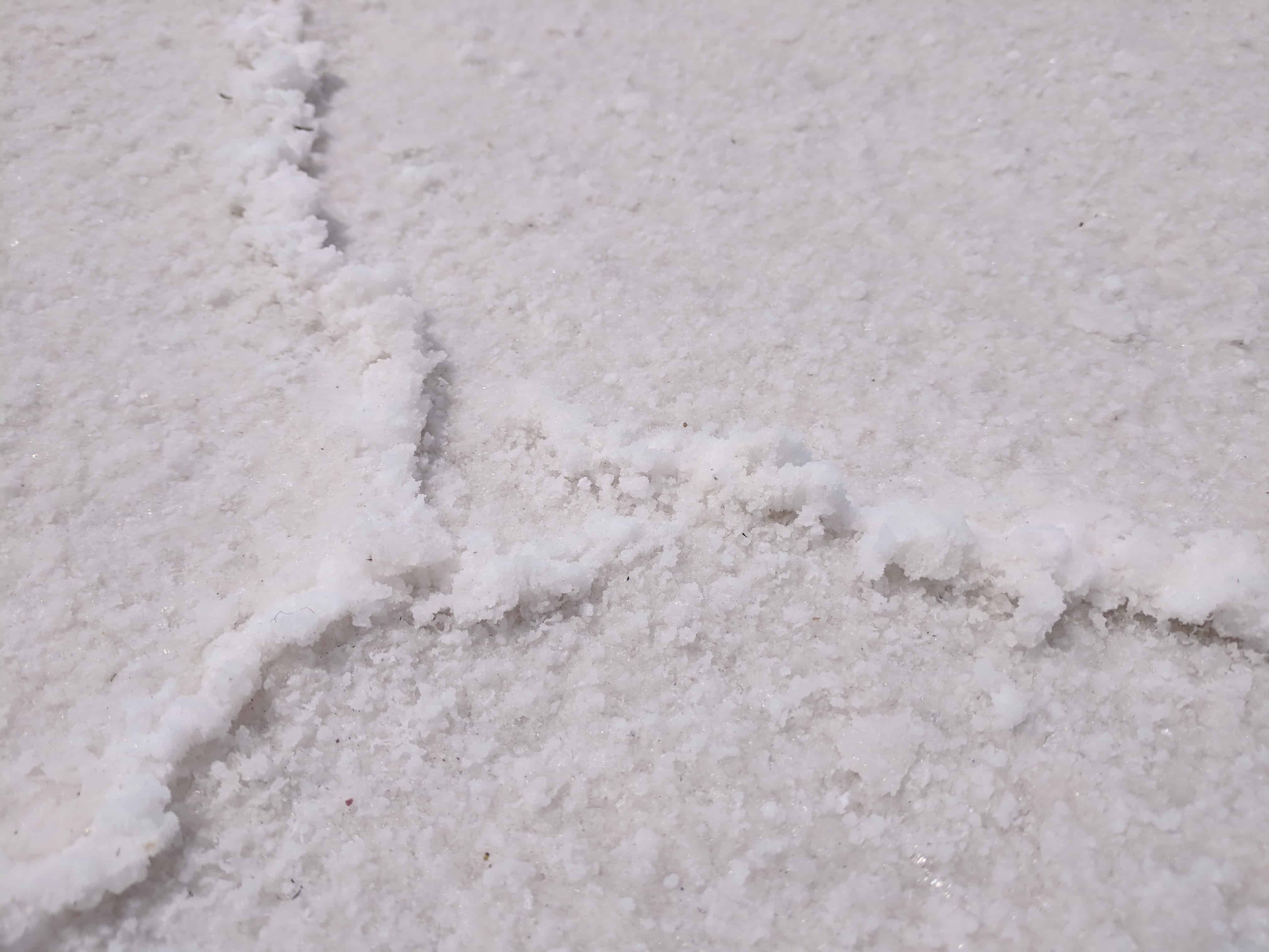
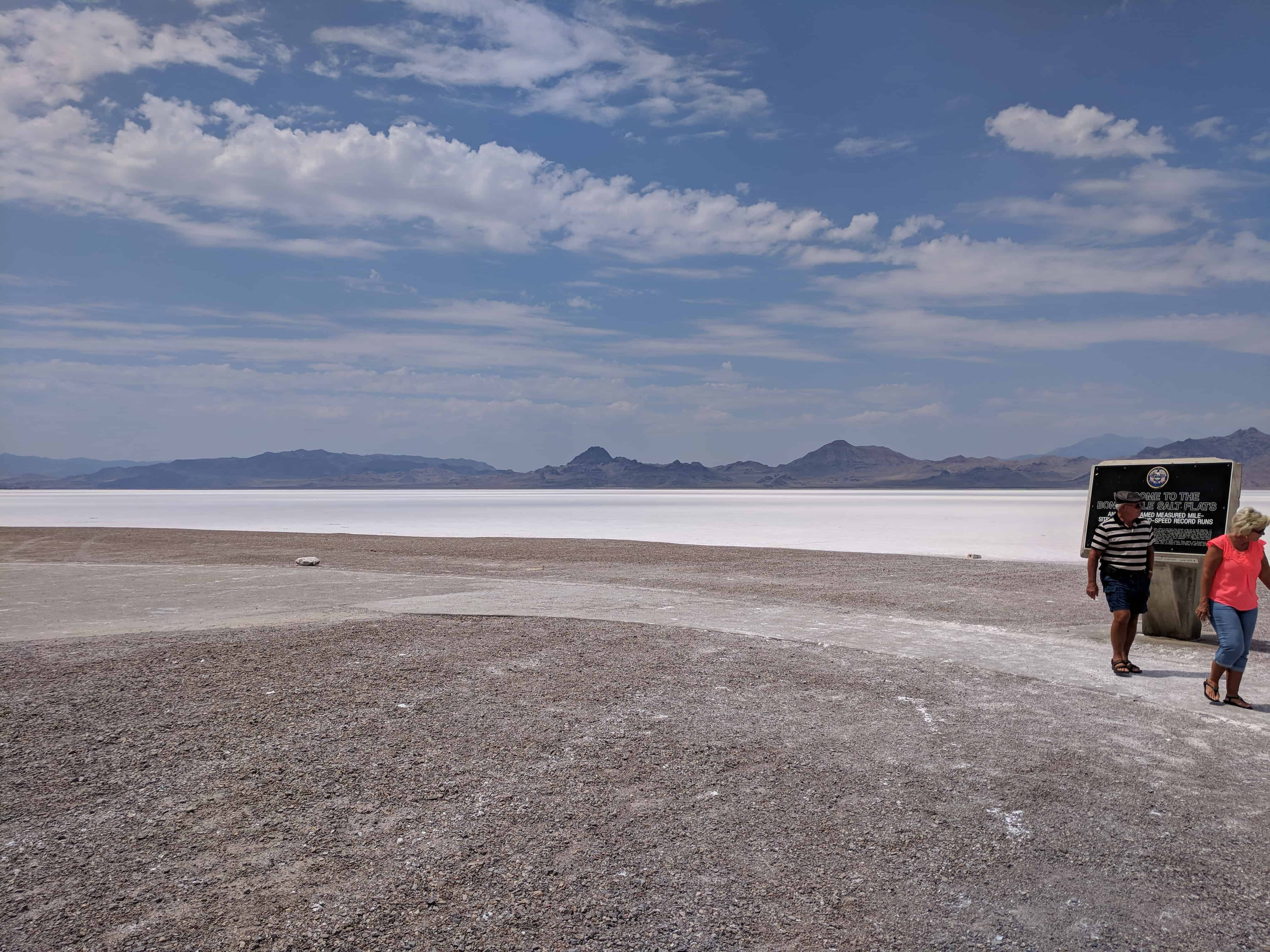
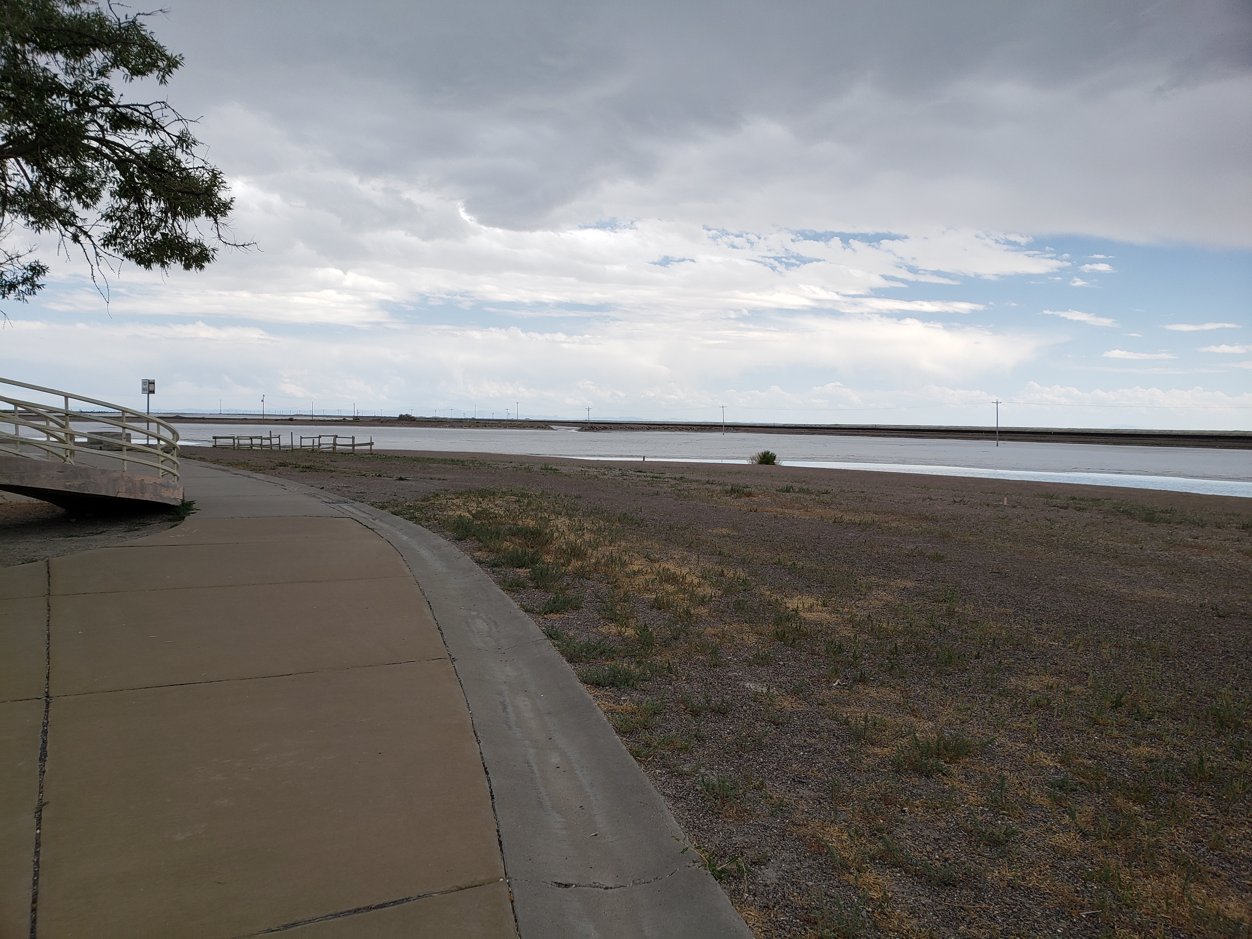
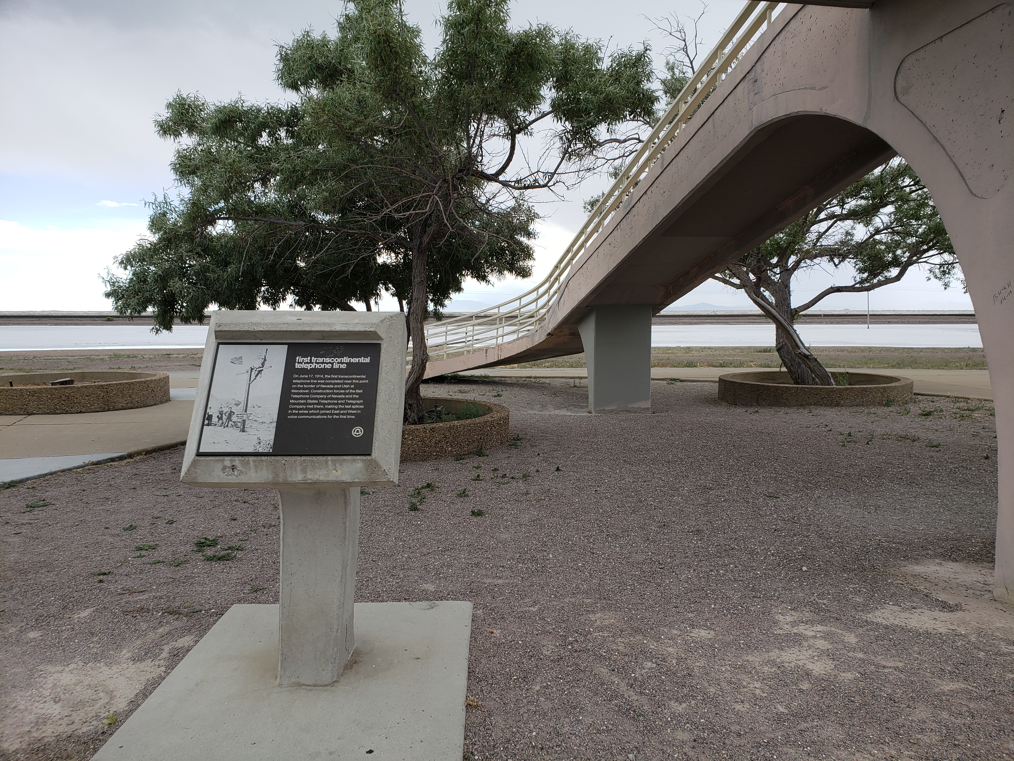
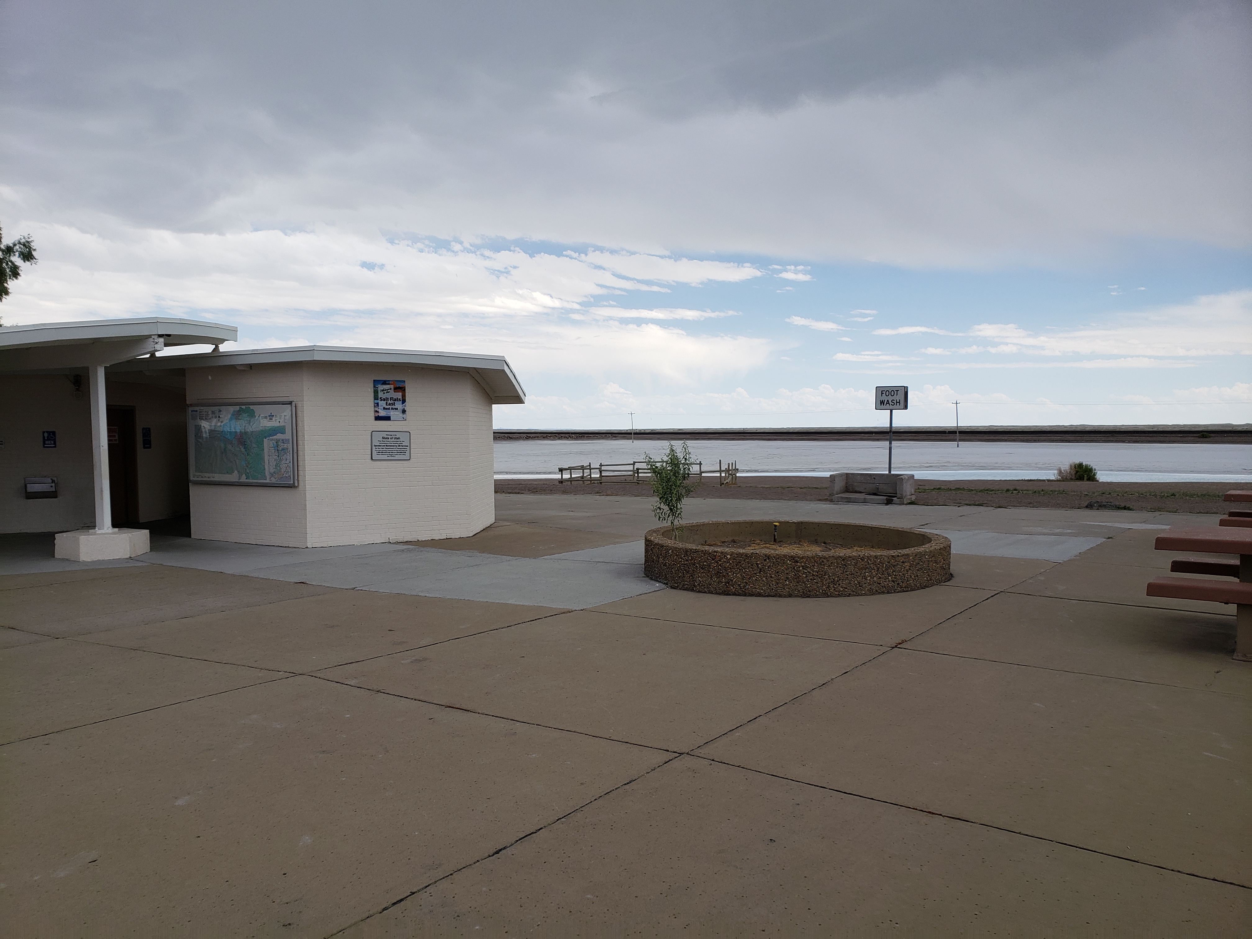
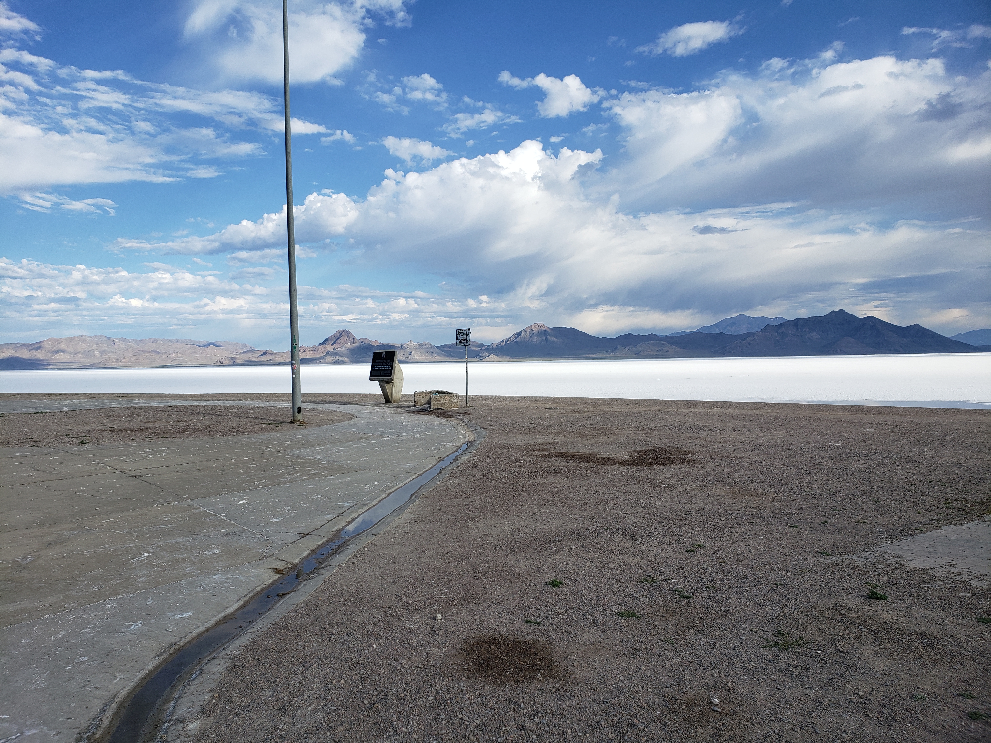
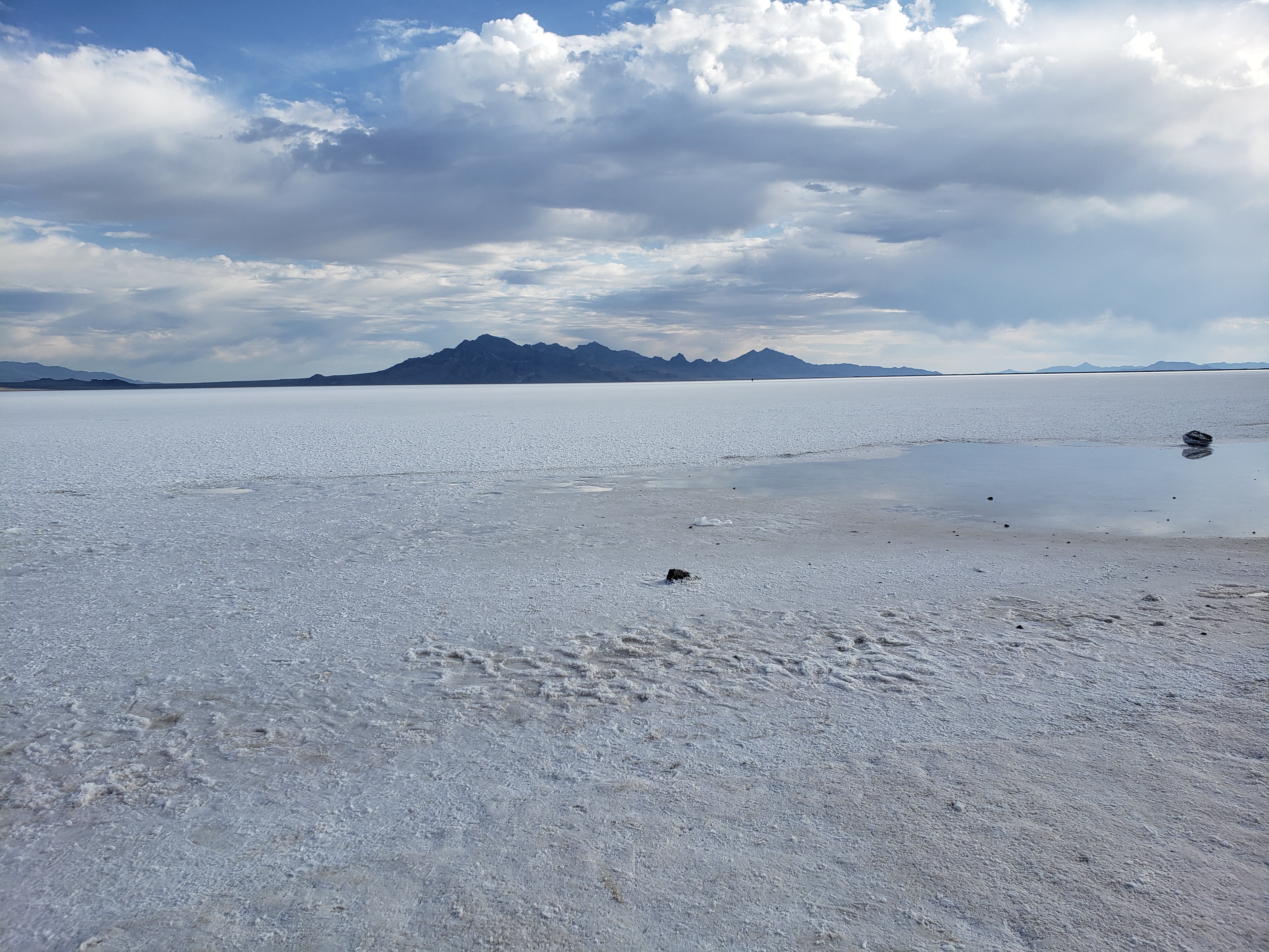
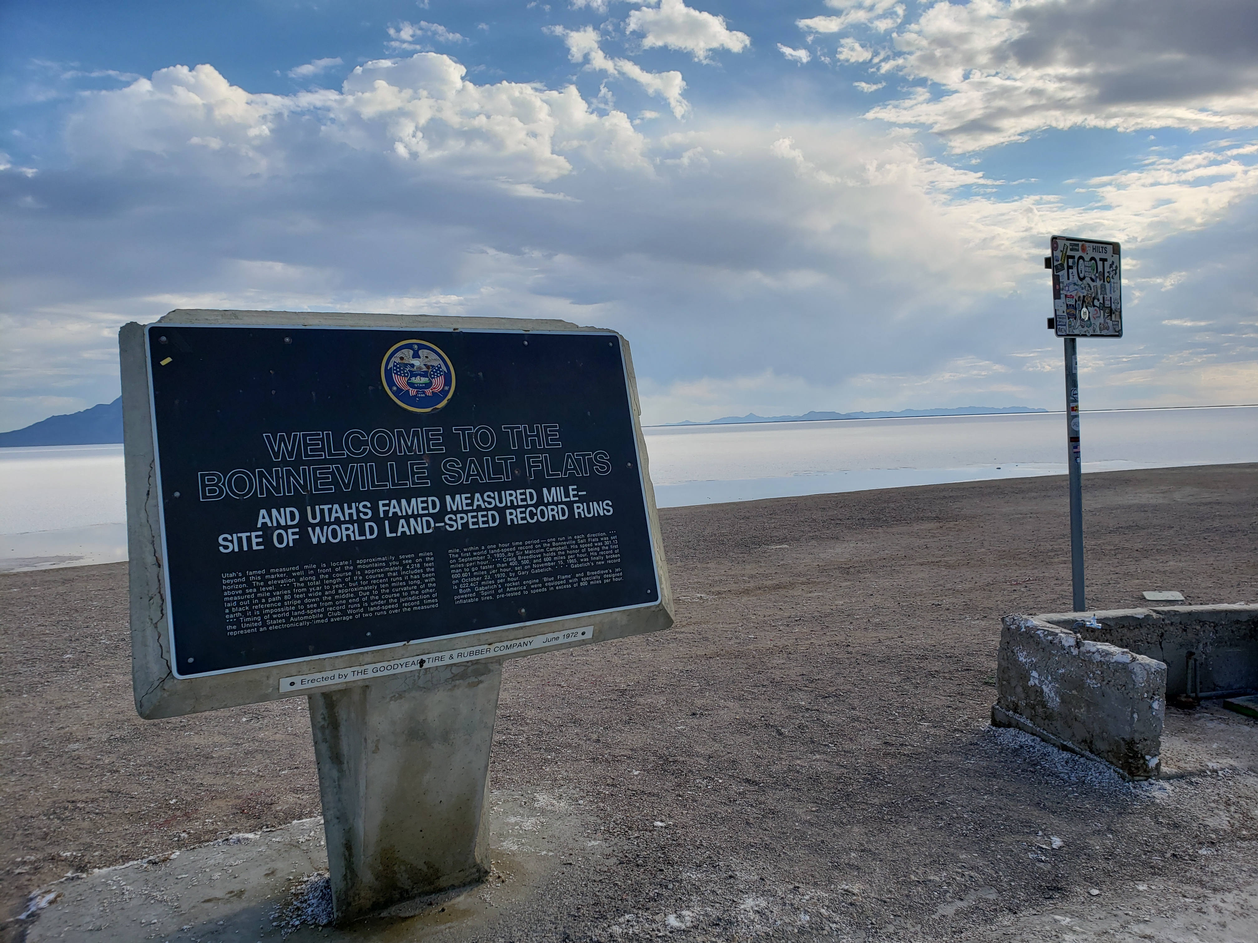
The Bonneville Salt Flats is an interesting area in Utah, as far as you can see it is densely packed salt that is perfectly flat. Because it is so large and flat it has been used as the place to set land speed records.
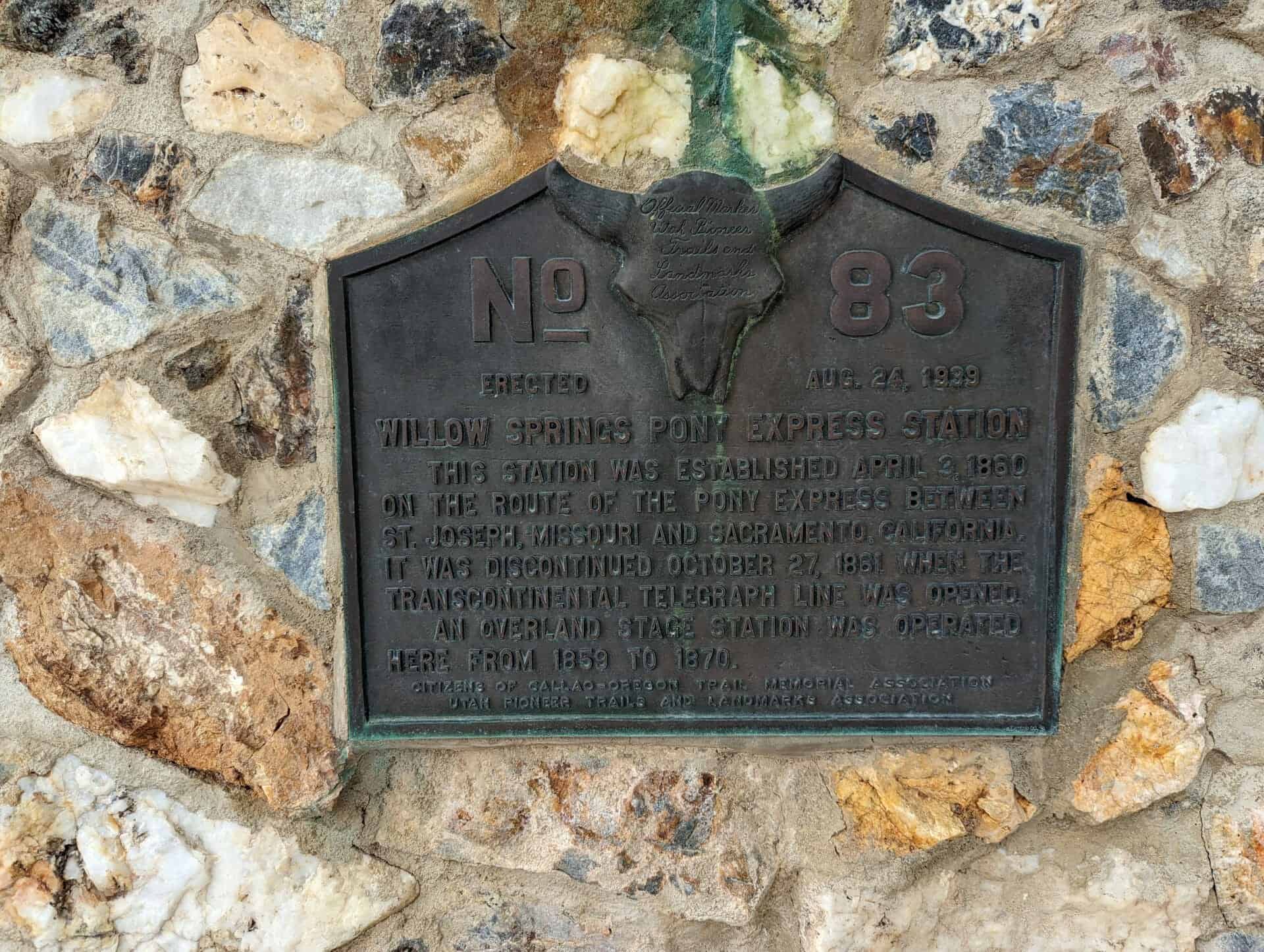
This station was established April 3, 1860 on the route of the Pony Express between St. Joseph, Missouri and Sacramento, California. It was discontinued October 27, 1861 when the transcontinental telegraph line was opened.
An overland stage station was operated here from 1859 to 1870.
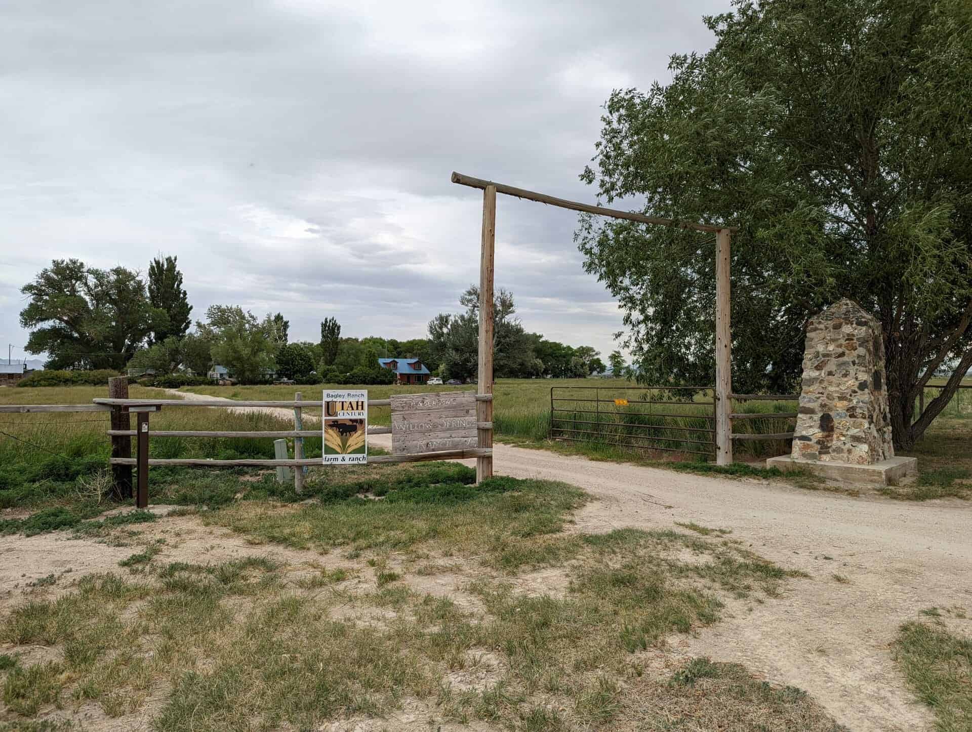
Note: The Willow Springs Home Station, located at the Bagley Ranch on the western end of Callao, shows evidence of a well-used station. The monument and the buildings, which comprised the home station, are still standing and are in good condition. This station is one of the best-preserved stations in the U.S., and is the only existing home station maintained on private property. This station, because of its existing structures, is one of the most interesting and most frequently visited in Utah.
This is Utah Pioneer Trails and Landmarks Association historic marker #83 later adopted by the Sons of Utah Pioneers, located along the pony express trail in Callao, Utah and erected August 24, 1939.
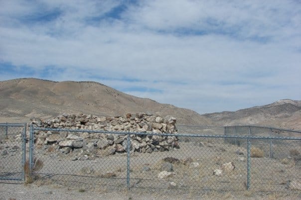
The original “Round Station” Pony Express station, located about three miles west of here, was burned down in an Indian attack, rebuilt with stones on this site, and renamed Canyon Station.
Stories of solitary Pony Express riders valiantly galloping through the western frontier still inspire people around the world. Publishers and editors during the 1860s often developed romanticized tales of the Wild West. Eyewitness accounts paint a more accurate picture of frontier history.
British explorer Sir Richard Burton visited Salt Lake City in September of 1860. His journal entries paint an eerie image of the Overland Stage and Pony Express stations west of the Great Salt Lake. Near the top of Overland Canyon, Burton wrote: “Nothing, certainly, could be better fitted for an ambuscade than this gorge, with its caves and holes in snow-cuts, earth-drops, and lines of strata… in one place we saw the ashes of an Indian encampment; in another, a whirlwind, curling, as smoke would rise from behind a projecting spur, [it] made us advance with the greatest caution.”
When en route to California, author Mark Twain vividly recounts his experience as a Pony Express rider gallops past his stagecoach: “We had a consuming desire from the beginning to see a pony-rider, but somehow or other all that passed us… managed to streak by in the night, and… the swift phantom of the desert was gone before we could get our heads out of the windows. But now we were expecting one… Away across the endless dead level of the prairie a black speck appears against the sky, and it is plain that it moves.”
“In a second or two it becomes a horse and rider, rising and falling, rising and falling – sweeping toward us nearer and nearer – growing more and more distinct, more and more sharply defined – nearer and still nearer, and the flutter of the hoofs comes faintly to the ear… another instant a whoop and a hurrah from our upper deck, a wave of the rider’s hand, but no reply, and man and horse burst past our excited faces, and go winging away like a belated fragment of a storm!”
Atrocities and Hostilities
American Indians inhabited lands along the Pony Express Trail for thousands of years before the Pony began its historic run. From the 1840s through the 1860s, they watched swarms of white settlers cross their homelands – impacting traditional hunting grounds with cattle and oxen grazing prairie grasses down to bare ground, and then the senseless killing of thousands of buffalo.
A long history of hostilities on both sides, combined with the terrible atrocities committed by hordes of miners during the 1859-60 rush for silver and gold at the Comstock Lode Mine in western Nevada, launched several years of conflict throughout the Great Basin area. Emigrant wagon trains, Pony Express riders, and station keepers alike began experiencing the angry reactions of regional tribes.
Pony Express riders and station workers alike were frequent targets of attack. Because they could hide safely behind cabin walls during an attack, one might think that workers in the station were safer than the riders were. Not so – more station workers were killed than riders were. Unlike riders who could usually outrun threats, station keepers were sitting ducks. Most of the stations across western Utah and Nevada were not much more than flimsy shelters – frequently located in remote areas far from help.
British adventurer, Sir Richard Burton, on his way west from Salt Lake City in 1860, made this observation on the stations:
“On this line there are two kinds of stations, the mail stations, where there is an agent in charge of five or six ‘boys,’ and the express station – where there is only a master and an express rider… It is a hard life, setting aside the change of death – no less than three murders have been committed by the Indians during this year.”
The Crowds Cheered On…
In 1845, it took six months to get a message from the east coast of the United States to California. By the time it arrived, the news was old. In the late 1850s, a half million people had migrated west, and they wanted up-to-date news from home. Something had to be done to deliver mail faster and to improve communication in the expanding nation.
“The Central Overland California and Pikes Peak Express Company,” a subsidiary of Russell, Majors, and Waddell, announced the formation of the Pony Express on January 27, 1860. They planned to carry letter mail between St. Joseph, Missouri and Sacramento, California in only ten days. Although the Pony Express was a financially risky enterprise, the company hoped to attract a lucrative contract with the U.S. Postal Service.
Knowing that a healthy horse could run at a full gallop for only 10 to 12 miles, the Pony Express needed stations for its riders to change mounts. They utilized existing stage stations on the eastern end of the route, but needed to build many new station in remote areas across the Great Basin. Alexander Majors said that 400 to 500 mustang horses were purchased, 200 men were hired to manage the station, and 80 riders signed on to begin the run of the Pony Express.
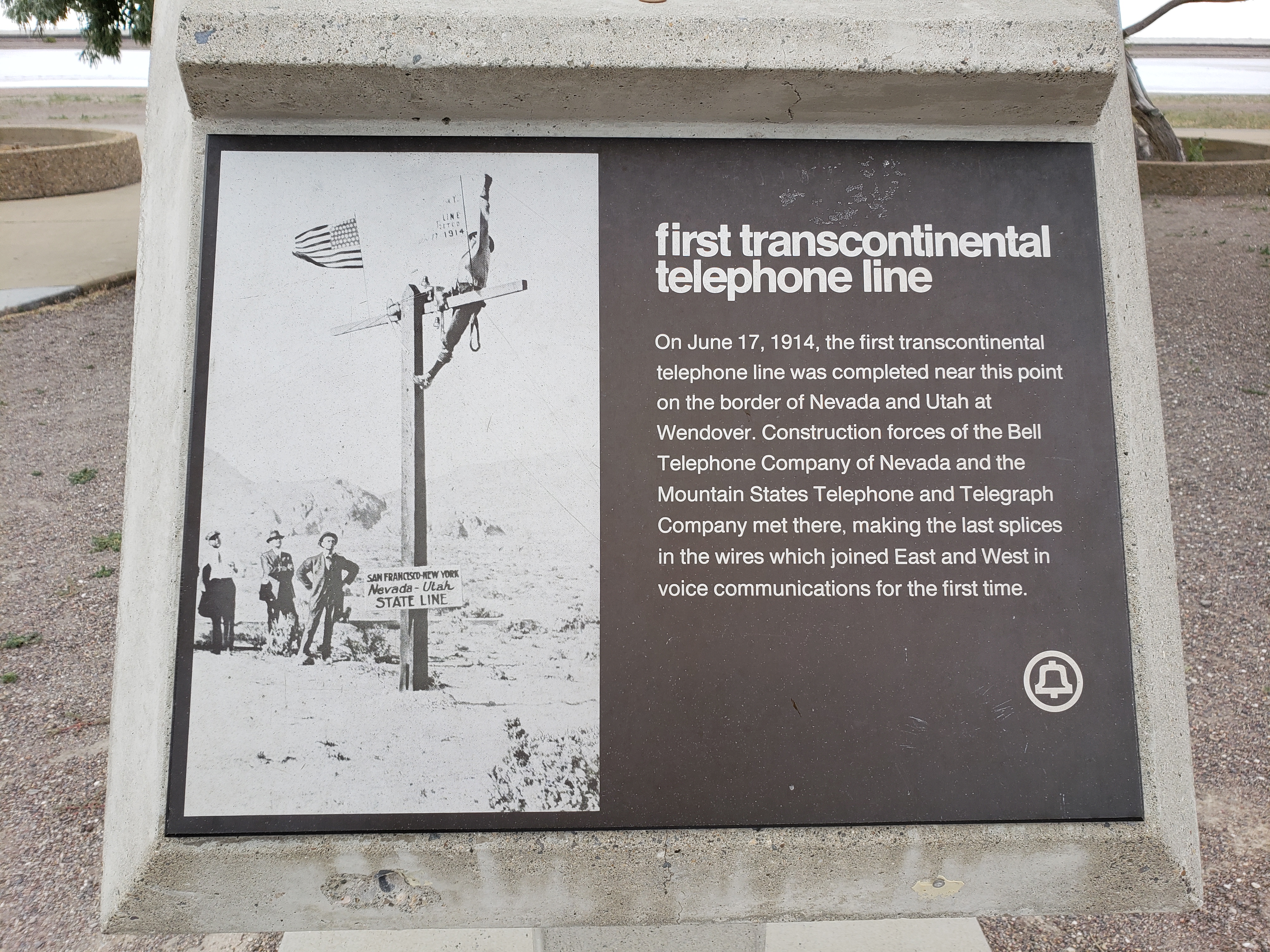
Although the Pony Express captured the admiration, imagination, and hearts of people, it was a financial disaster for its founders. The Pony era, however, was not brought to an end by its financial failure, weather, or even problems with Indians – but by the completion of the Transcontinental Telegraph on October 26, 1861.
“Every neck is stretched, and every eye stained… Across the endless prairie a black spec appears… In a second or two it becomes a horse and rider, rising and falling, rising and falling – sweeping toward us – growing more and more distinct, and the flutter of hoofs comes faintly to the ear – another instant a whoop and a hurrah from our upper deck, a wave of the rider’s hand, but no reply, and man and horse burst past our excited faces, and go winging away like belated fragment of a storm.” – Mark Twain – Roughing It, 1872.
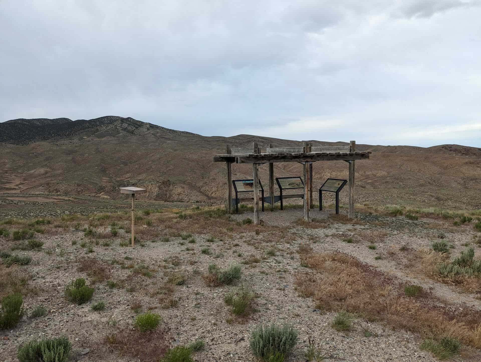
This stabilized fortification, known in modern times as Round Station, was built in 1863 to serve the Overland Stage. It was probably the third incarnation of Canyon Station, the first two having been burned by Indians. The ruin at Round Station is that of a structure probably used for defense, and the foundation of the station is visible to the south and east across the parking lot. The interpretation is the product of a cooperative agreement among the BLM, National Park Service, and the Utah Division of the National Pony Express Association.
Of the canyon ahead, now called Overland Canyon, Burton observed: “Nothing, certainly, could be better fitted for an ambuscade than this gorge, with its caves and holes in snow cuts, earth-drops, and lines of strata, like walls of rudely piled stone; in one place we saw the ashes of an Indian encampment; in another a whirlwind, curling, as smoke would rise, from behind a projecting spur, made us advance with the greatest caution.”
(*)Information provided by Patrick Hearty, NPEA Utah, 2005.
Grantsville was first known by the name Twenty Wells, due to the many sweetwater artesian springs in the area. It was first settled in 1848 as a seasonal livestock grazing site for stock owners in Salt Lake City. The first permanent settlers arrived in 1850 to establish one of Brigham Young’s more than 350 Mormon colonies throughout Utah Territory. By then, the fortified town was known as Willow Creek. Three years later, with almost 30 families living in the settlement, it was renamed Grantsville in honor of George D. Grant, the leader of a detachment of the Nauvoo Legion militia sent to control hostile Native Americans in the Tooele Valley. Grant is also known for leading a group to rescue members of the Martin Handcart Company. The later years of the decade brought many hardships to Grantsville’s citizens, including drought, grasshopper infestations, and the settlement’s temporary abandonment in advance of the arrival of Johnston’s Army. Ironically, the arrival of the army and its construction of Camp Floyd in nearby Cedar Valley ended up greatly benefiting Grantsville’s settlers as they were then able to trade with the army for many needed provisions. By the end of the next decade, the 1860s, Grantsville had become a largely self-sufficient oasis of orchards and shade trees at the edge of the Territory’s western deserts. Brigham Young himself visited Grantsville on several occasions, both officially and unofficially, and dedicated the first permanent church building in 1866. The building stands today, though it is no longer owned by the Church. The Lincoln Highway passed through the city in 1925 after it was realigned to the north, spurring business along Main Street.
Located just off of I-80 in Utah’s west desert is the Knolls Recreation Area. With nearly 36,000 acres of sand dunes, hills, and mud flats, this place is the perfect OHV play area. The dunes are not as large as Jericho but just as fun. If your looking for speed the mud flats are the place, you can drive long distances on these flats and rarely feel a bump.(*)
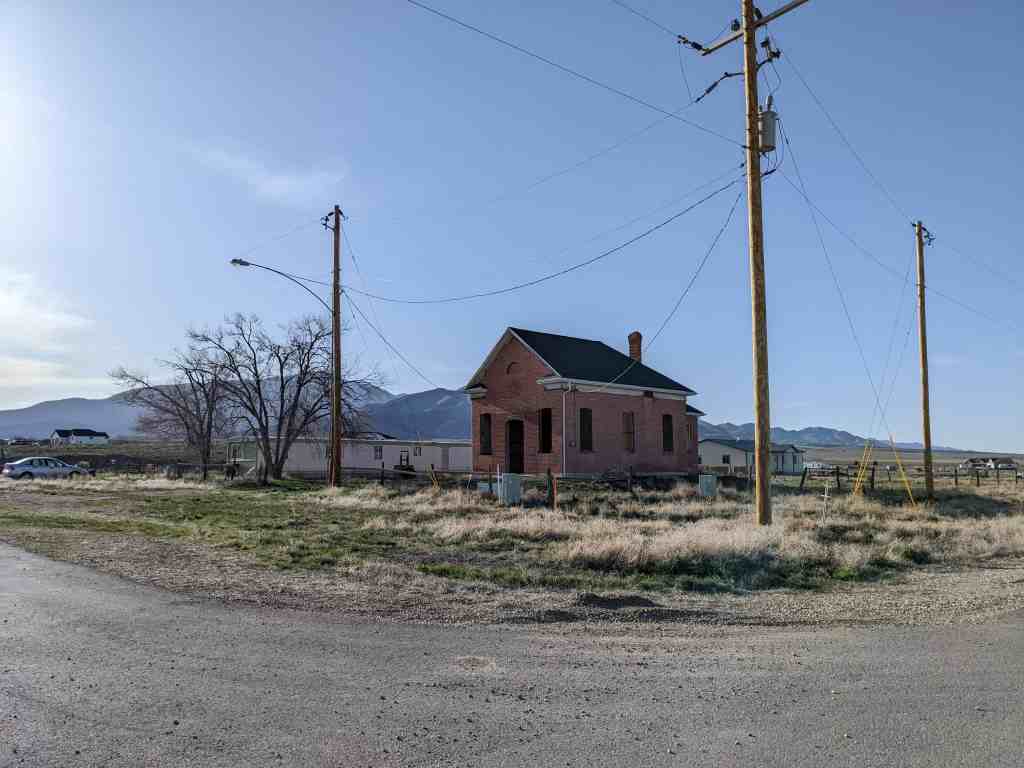
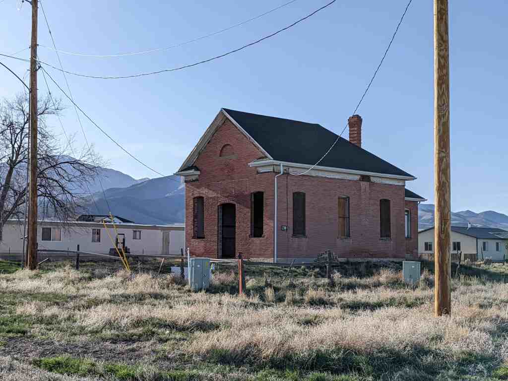
The text on this page is from the nomination form (#85000965) for the National Historic Register, the school was added to the register on May 9, 1985 and is located at 38 West Clark Street in Stockton, Utah.
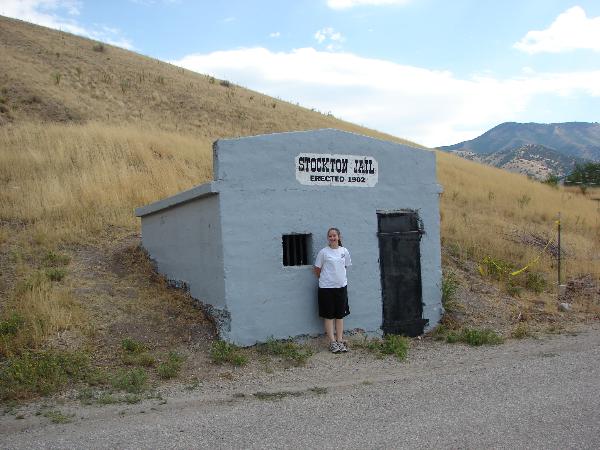
Built in 1902, the Stockton Jail is historically significant as the only building associated with early law enforcement activities in Stockton and as the best preserved public building dating from the early years of the community. The jail was constructed just one year after the town was incorporated, which was a time of considerable community development that saw a number of civic improvements, including the extension of the railroad lines into the town, construction of a railroad depot, the installation of electricity, surveying of the city cemetery, and dedication of a public square.
The decision to erect a jail in Stockton was made at the town meeting held on September 3, 1902. At that same time Town President E.J. Raddatz appointed James H. Spaulding to serve as Marshall and Street Supervisor, with a salary of fifteen dollars per month. The site selected for the jail is located in the northwest part of town at the base of Tabernacle Hill. The property was purchased in November of 1902 and construction began soon after.
Specifications for the building called for a concrete structure measuring 12 x 14 x 8, with three interior compartments, a metal door, and one small window with iron bars. A stove was installed in the outer or south compartment of the building open its completion. Through the years the building has been used primarily either for detoxification or as temporary shelter for hobos passing through on freight trains.
The Stockton Jail was one of a number of civic improvements that were undertaken in the years immediately following the incorporation of the town in 1901. The Oregon Short Line Railroad extended its tracks into the town in 1902. and in 1904-05 a large depot was built. In 1902 the town Board of Trustees set aside a plot of land as a public square and that same year paid five dollars to A.F. Stookey for surveying the cemetery plot. Electricity was brought to Stockton in 1903 by the Clark Electric Power Company and several street lights were installed at that time. The large, brick and adobe IOOF Hall was erected in 1902, and for many years its upper story was used by the town for recreational purposes, including dances, Christmas parties, and even some school functions. The Stockton Jail is the only building to have survived to the present from that era of intensive community development.
Although Stockton was not incorporated until 1901, it was first established as a community in 1864 when precious ores were discovered in the adjacent mountains by U.S. Army soldiers. The Army had established a camp, Camp Relief, at this site in 1862, and under the direction of Col. Patrick E. Connor the soldiers stationed there began prospecting in the surrounding mountains. Their discovery was probably the first significant mineral discovery in Utah and launched the important mining industry in the state. The town of Stockton, though never the nucleus of mining activity in the area, was one of several important mining towns on the west slope of the Oquirrh Mountains. The town was named after Stockton, California, the one-time home of Col. Patrick Connor.
Because only a few older jails have been identified in Utah, little is known about them – their prevalence, range of sizes and architectural styles, or whether they were generally detached buildings or part of a city hall or county courthouse. Jails that have been identified include the Juab County Jail, a separate building located behind the old courthouse, the Park City Jail, located in the basement of the old city hall, and the Garfield County Jail, adjacent to the county courthouse. The Stockton Jail, unlike those, is in an isolated location at the edge of town and is constructed of concrete.
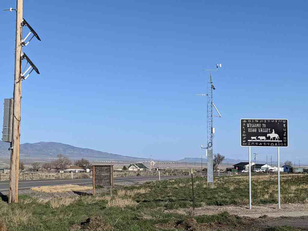
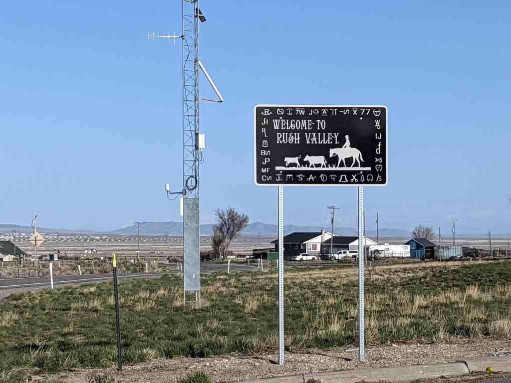
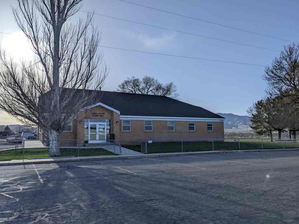
This area was first settled beginning in 1856. In 1934, a large area of some 33 square miles, comprising the settlements of Clover, St. John, and Vernon, was incorporated into a town called Onaqui. The incorporation was essentially a bureaucratic tactic to secure federal aid for development of municipal infrastructure, including from the Rural Electrification Administration. When the people of Vernon were granted a petition to incorporate separately on 22 February 1972, the remaining town was renamed Rush Valley.