Tags
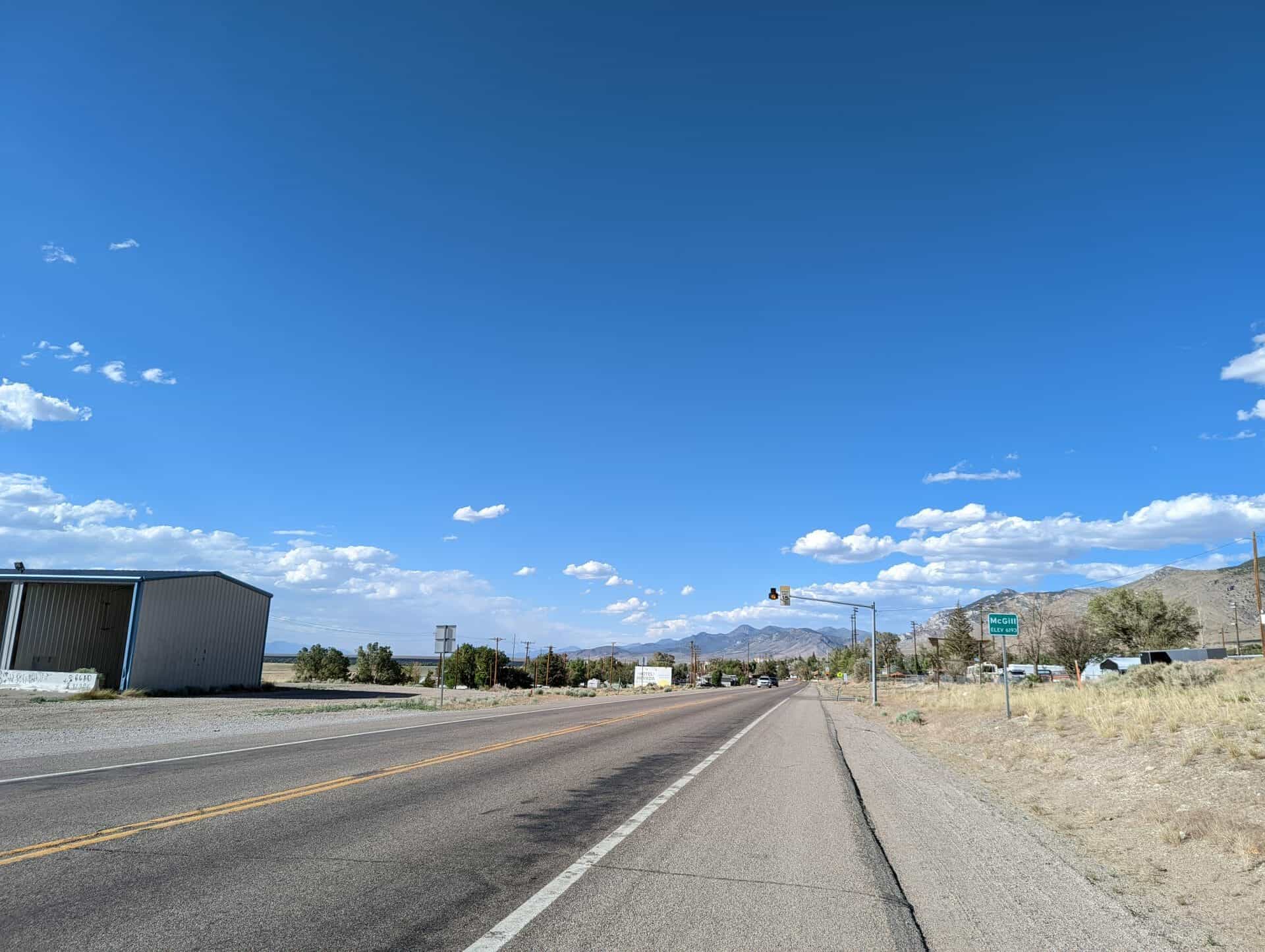
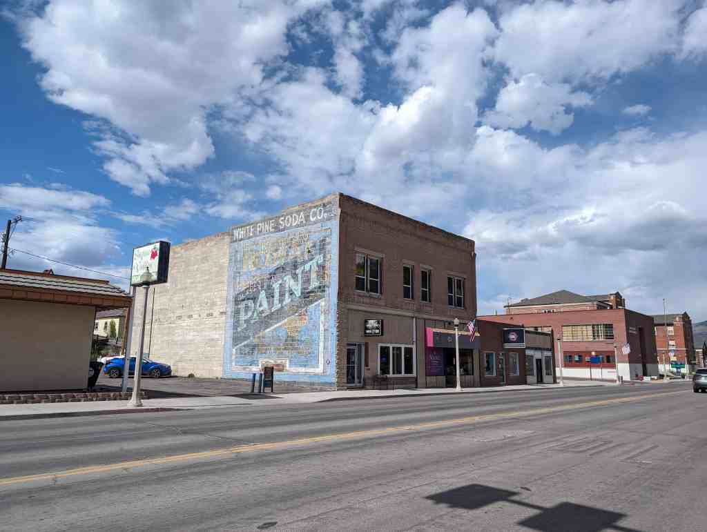
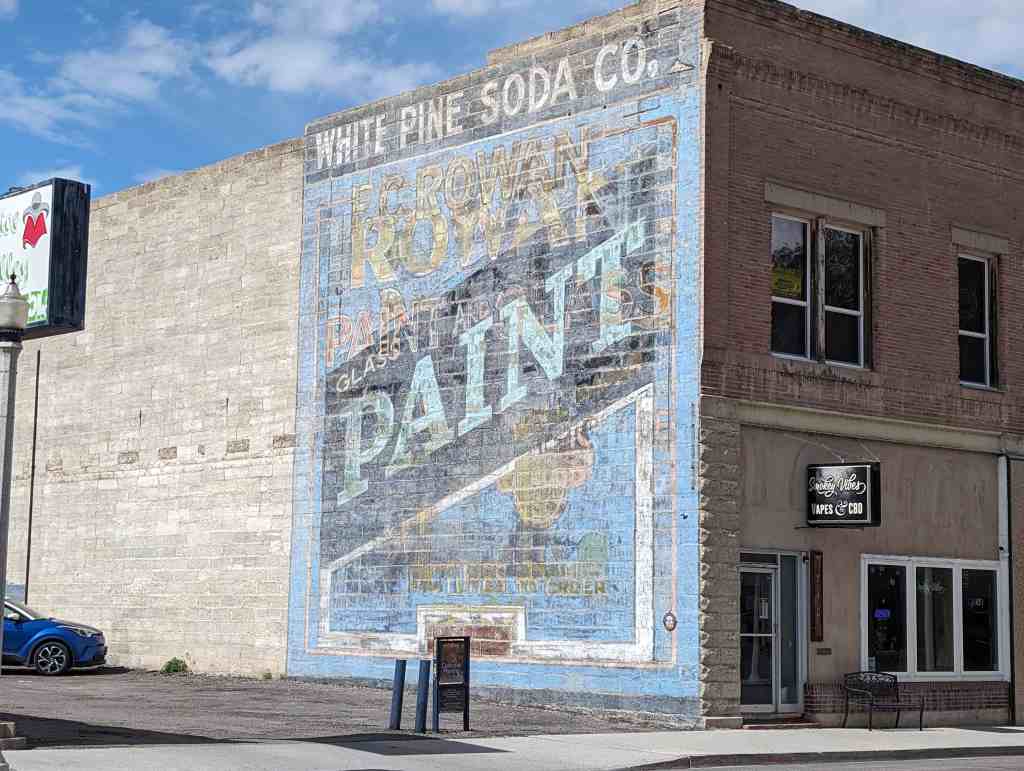
McGill, Nevada

17 Wednesday Aug 2022
Posted in Uncategorized
Tags
McGill, Nevada
17 Wednesday Aug 2022
Posted in Uncategorized
Tags

White Pine Public Museum
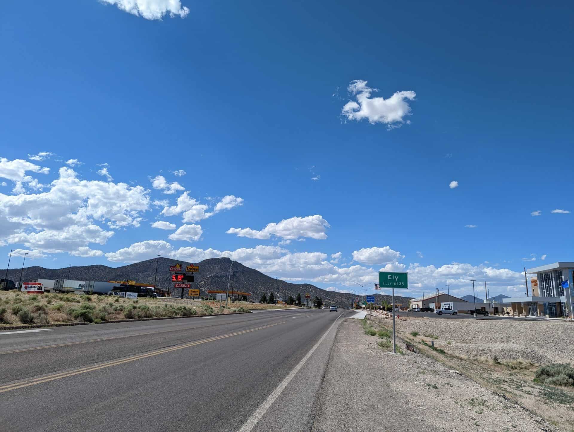
2000 East Aultman Street in Ely, Nevada.
Related:


17 Wednesday Aug 2022
Posted in Uncategorized
Tags

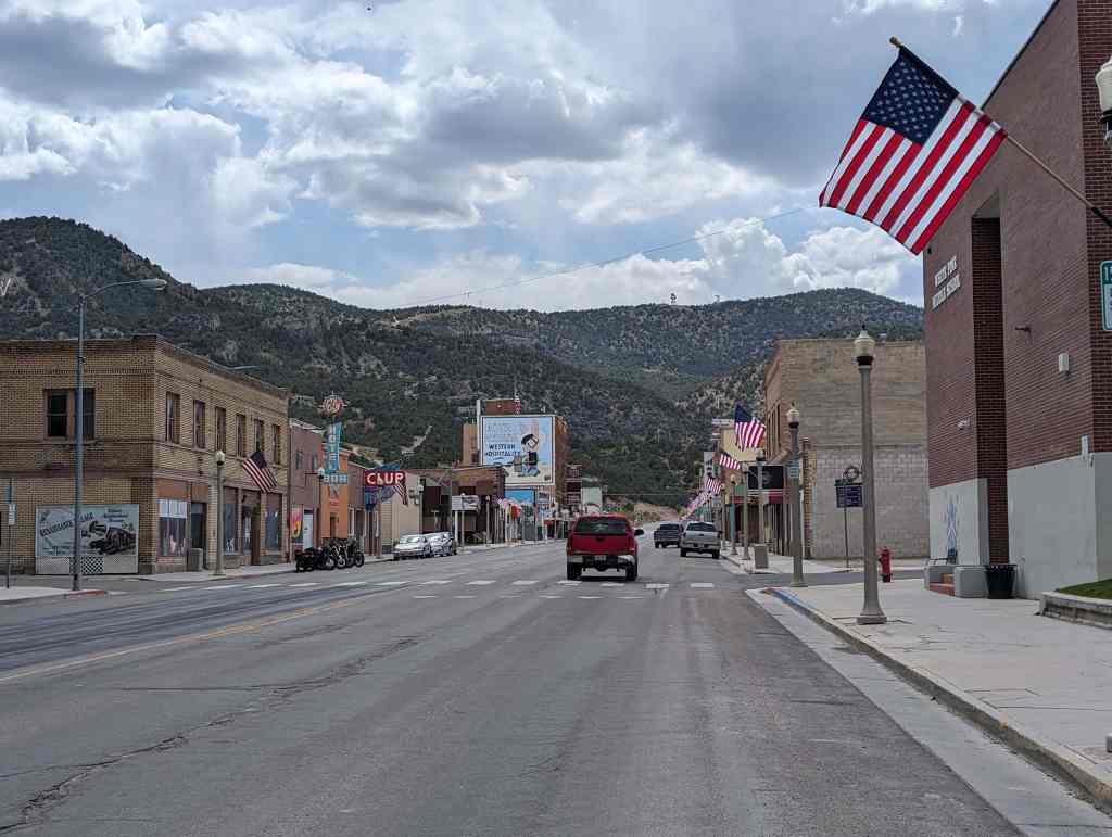
884 East Aultman Street in Ely, Nevada.
15 Monday Aug 2022
Posted in Uncategorized
Tags
While visiting Ely, Nevada I noticed a lot of cool murals and most were part of a numbered series/tour. Below are links to the murals and other parts of the art/memorial series in Ely I have documented so far.
Related:
15 Monday Aug 2022
Posted in Uncategorized
Tags
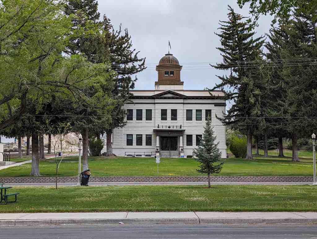
Ely, Nevada in White Pine County
Related:


15 Monday Aug 2022
Posted in Uncategorized
Tags
Casinos, Ely, Neon Signs, Nevada, Vintage Signs, White Pine County
20 Wednesday Jul 2022
Posted in Uncategorized
Tags
Ely, Historic Markers, Lincoln Highway, Nevada, Nevada Historic Markers, Railroad, White Pine County

Nevada Northern Railway
Mark Requa’s Nevada Consolidated Copper Company laid 150-mile of track from Cobre, on the Southern Pacific line, to Ely in 1905-06 to haul ore from the Copper Flat mines west of Ely.
Ore was loaded into railroad gondolas at Copper Flat for the trip to the smelter at McGill, over a double-track trestle that was 1720 feet long. The trestle burned in 1922 and was replaced with an earth-fill span.
Passenger service and the “school train” carrying McGill youth to Ely High School ended in 1941. With the closing of local copper mines in 1983, the railroad ceased operations. Currently, part of the line serves the Nevada Northern Railway Museum for live steam rides. The East Ely shop complex for the Railway was listed as a National Historic Landmark District in 2006.
This is Nevada State Historical Marker #100 located at the White Pine Public Museum at 2000 East Aultman Street in Ely, Nevada.
See others on this page:
Related:


20 Wednesday Jul 2022
Posted in Uncategorized

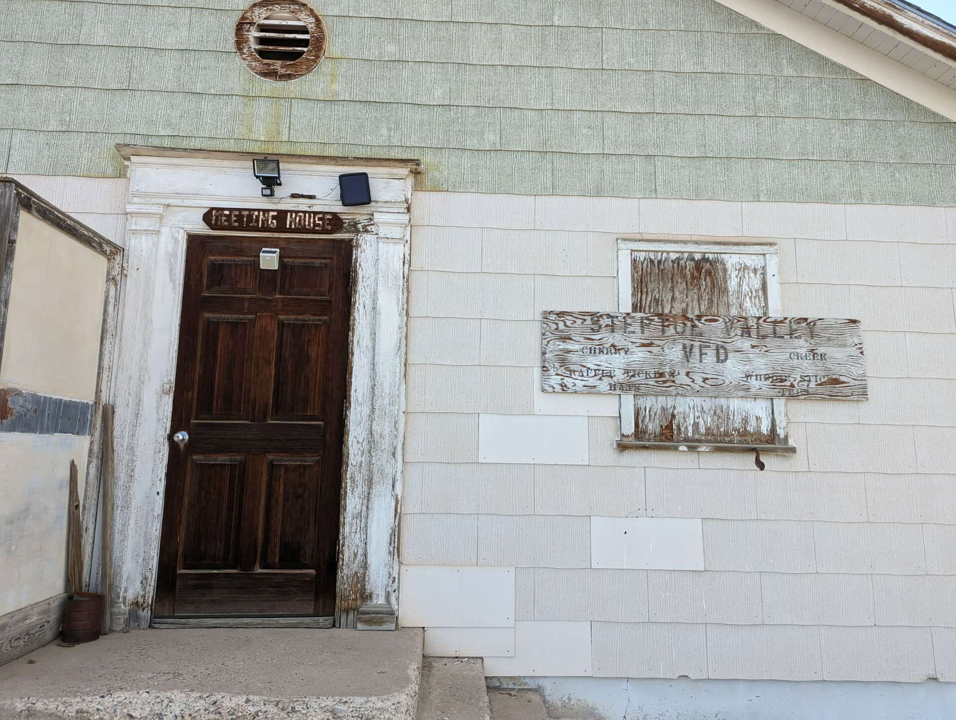
Cherry Creek School
Built when Cherry Creek was founded in 1872, it is one of the two oldest standing Nevada schoolhouses. In November 1894 a dispute between Pat Green and Pat Dolan over the building’s location turned violent with Dolan killing Green in a gunfight. With successful mining operations the area population grew to 6000 people and a peak enrollment of 56 students. In 1901 a lantern was fueled with gasoline and exploded. The fire burned several buildings nearly destroying the schoolhouse. After the last class in 1941, the building was used as a post office until 1971. Acquired by Walter Campbell in 1994, the schoolhouse has been converted into a museum.
This historic marker was dedicated June 12, 1999 by the Lucinda Jane Saunders chapter 1881 of E Clampus Vitus.
Related:


16 Saturday Jul 2022
Posted in Uncategorized

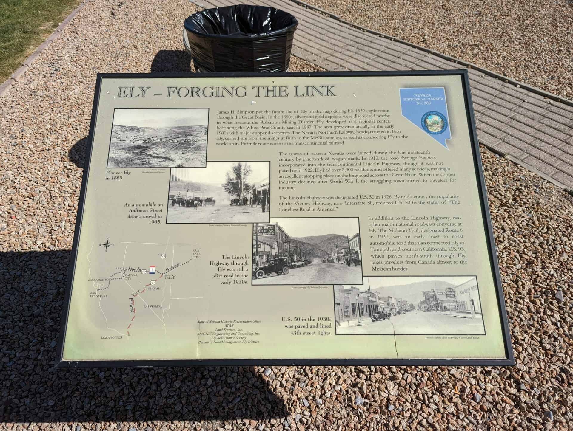
Ely – Forging the Link
James H. Simpson put the future site of Ely on the map during his 1859 exploration through the Great Basin. In the 1860s, silver and gold deposits were discovered nearby in what became the Robinson Mining District. Ely developed as a regional center, becoming the White Pine County seat in 1887. The area grew dramatically in the early 1890s with major copper discoveries. The Nevada Northern Railway, headquartered in East Ely, carried ore from the mines in Ruth to the McGill smelter, as well as connecting Ely to the world on its 150 mile route north to the transcontinental railroad.
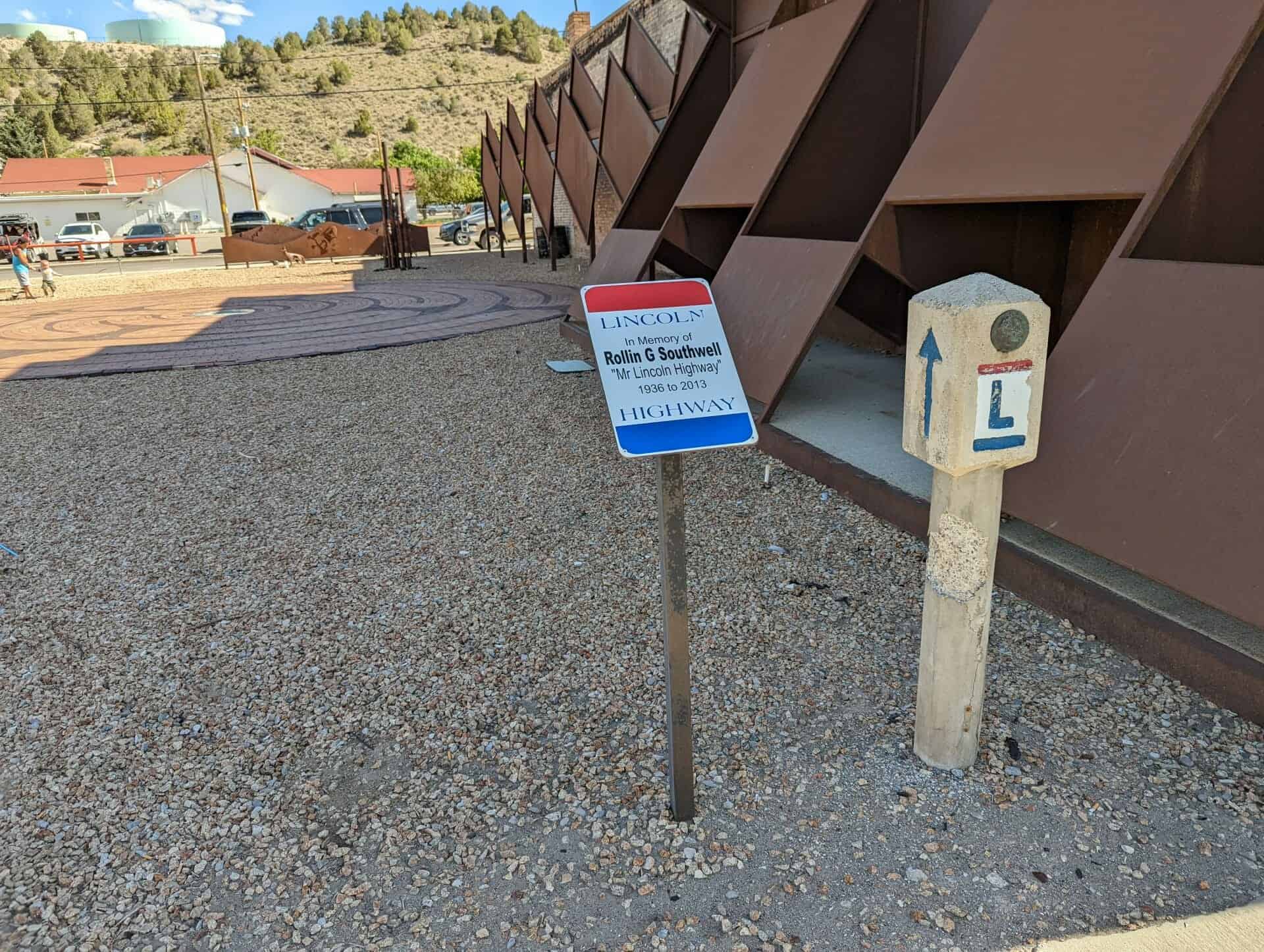
The towns of eastern Nevada were joined during the late nineteenth century by a network of wagon roads. In 1913, the road through Ely was incorporated into the transcontinental Lincoln Highway, though it was not paved until 1922. Ely had over 2,000 residents and offered many services, making it an excellent stopping place on the long road across the Great Basin. When the copper industry declined after World War I, the struggling town turned to travelers for income.
The Lincoln Highway was designated U.S. 50 in 1926. By mid-century the popularity of the Victory Highway, now Interstate 80, reduced U.S. 50 to the status of “The Loneliest Road in America.”
In addition to the Lincoln Highway, two other major national roadways converge at Ely. The Midland trail, designated Route 6 in 1937, was an early coast to coast automobile road that also connected Ely to Tonopah and southern California. U.S 93, which passes north-south through Ely takes travelers from Canada almost to the Mexican border.
This is Nevada State Historical Marker #269, located at 681 East Aultman Street in Ely, Nevada.
See others on this page:
Related:


16 Saturday Jul 2022
Posted in Uncategorized
Tags
Copper, Ely, Historic Markers, Lincoln Highway, Nevada, Nevada Historic Markers, White Pine County

Copper Country
The famed open-pit copper mines of eastern Nevada, including the Liberty Pit, largest in the state, are located two miles south of this point. Through the first half of the twentieth century, this area produced nearly a billion dollars in copper, gold, and silver. The huge mounds visible from here are waste rock, which was removed to uncover the ore.
Two miles east of here, near Lane City, was the Elijah, the first mine discovered in the Robinson Mining District. Lane City, originally called Mineral City, was settled in 1869 and had a population of 400. At Mineral City was the Ragsdale Station, one hotel, and a stage station.
This is Nevada State Historical Marker #9, located outside Ely, Nevada.
See others on this page:
Related:


