• About JacobBarlow.com
  • Cemeteries in Utah
  • D.U.P. Markers
  • Doors
  • Exploring Utah Email List
  • Geocaching
  • Historic Marker Map
  • Links
  • Movie/TV Show Filming Locations
  • Oldest in Utah
  • Other Travels
  • Photos Then and Now
  • S.U.P. Markers
  • U.P.T.L.A. Markers
  • Utah Cities and Places.
  • Utah Homes for Sale
  • Utah Treasure Hunt

JacobBarlow.com

~ Exploring with Jacob Barlow

JacobBarlow.com

Tag Archives: Box Elder County

Promontory, Utah

30 Tuesday Aug 2016

Posted by Jacob Barlow in Uncategorized

≈ Leave a comment

Tags

Box Elder County, Promontory, Railroad, utah

  • PROMONTORY

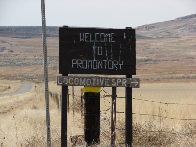
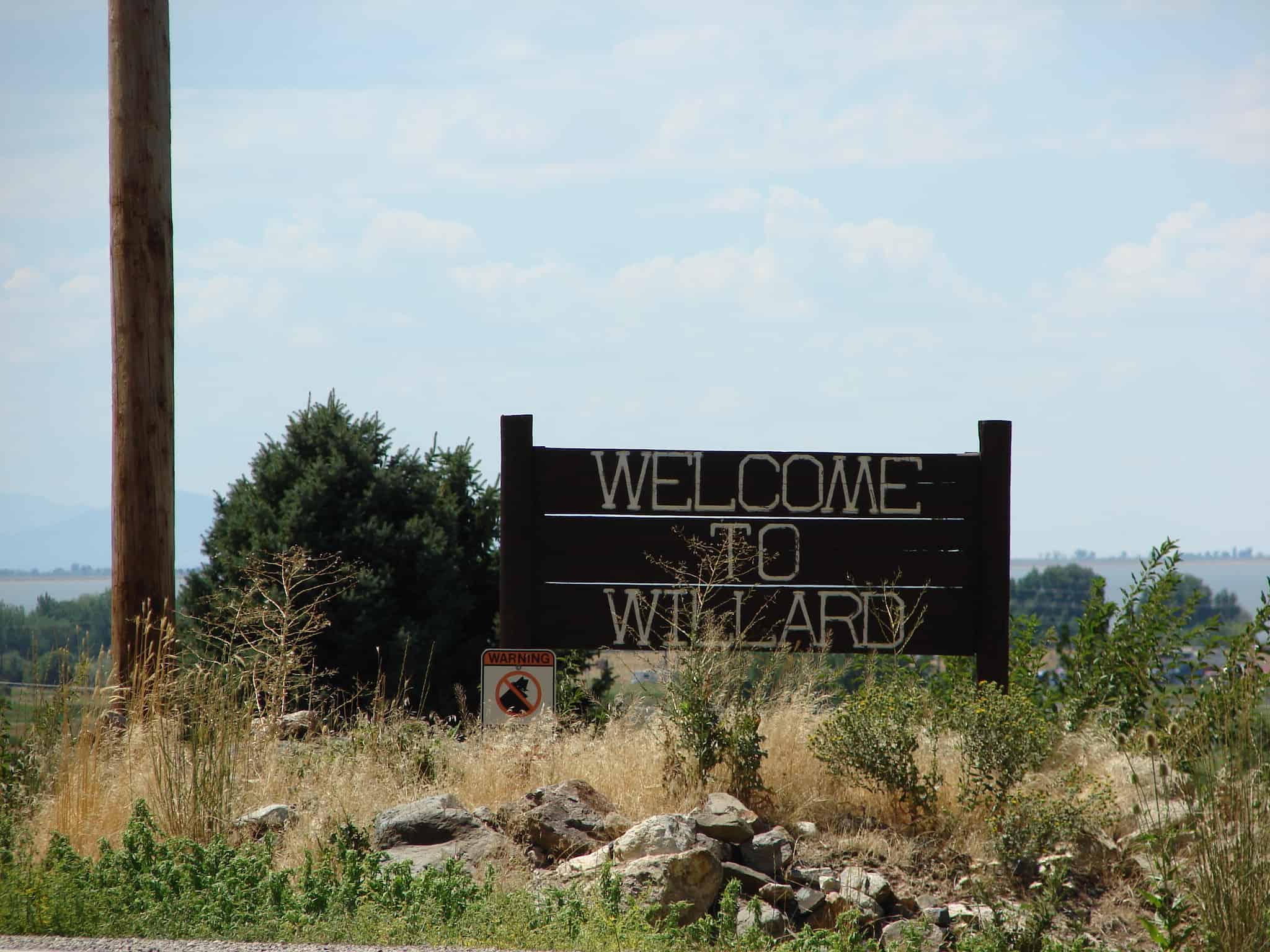
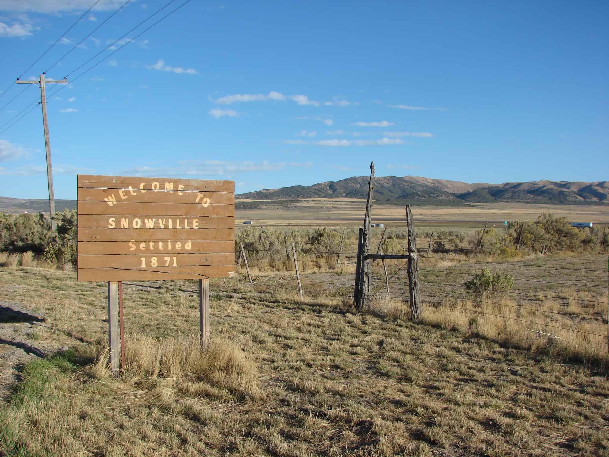
Promontory in Box Elder County, Utah, United States is an area of high ground 32 miles west of Brigham City, Utah and 66 miles northwest of Salt Lake City. Rising to an elevation of 4,902 feet above sea level, it lies to the north of the Promontory Mountains and the Great Salt Lake. It is notable as the location of Promontory Summit, where the First Transcontinental Railroad in the United States was officially completed on May 10, 1869.

By the summer of 1868, the Central Pacific had completed the first rail route through the Sierra Nevada mountains, and was now moving down towards the Interior Plains and the Union Pacific’s line. More than 4,000 workers, of whom two thirds were Chinese, had lain more than 100 miles of track at altitudes above 7,000 feet. In May 1869, the railheads of the Union Pacific and the Central Pacific railroads finally met at Promontory Summit, Utah Territory. A specially-chosen Chinese and Irish crew had taken only 12 hours to lay the final 10 miles of track in time for the ceremony.

Related Posts:

  • DUP412 – Golden Spike Monument
  • Golden Spike Monument
  • Golden Spike National Historic Site
  • Spiral Jetty
  • SUP#B Golden Spike – Joining of the Rails
  • Promontory Ghost Town Tour

Riverside, Utah

26 Friday Aug 2016

Posted by Jacob Barlow in Uncategorized

≈ Leave a comment

Tags

Beaverdam, Box Elder County, Fielding, Riverside, utah

picture16aug07-094

Riverside, Utah in Box Elder County.

Thatcher, Utah

11 Thursday Aug 2016

Posted by Jacob Barlow in Uncategorized

≈ Leave a comment

Tags

Bothwell, Box Elder County, Penrose, Thatcher, Tremonton, utah

picture16aug07-102

Thatcher is a census-designated place in Box Elder County. It is a small farming community, located 3 miles southwest of Bothwell and 7 miles  west of Tremonton.

The population was 789 at the 2010 census.  The community was named for Moses Thatcher, an apostle for the Church of Jesus Christ of Latter-day Saints.

Thatcher was first settled in 1890.

Thatcher Mountain, 2 miles to the west, is named after the community.

Brigham City Utah Temple

20 Wednesday Jul 2016

Posted by Jacob Barlow in Uncategorized

≈ 2 Comments

Tags

Box Elder County, Brigham City, LDS, LDS Church, Temples, utah

2018-09-22 14.54.37

The Brigham City Utah Temple is a temple of The Church of Jesus Christ of Latter-day Saints (LDS Church) in Brigham City, Utah.

2018-09-22 14.54.12

2018-09-22 14.53.39

2018-09-22 14.53.29

2018-09-22 14.53.11

2018-09-22 14.52.39

2018-09-22 14.52.35

2018-09-22 14.52.11

2018-09-22 14.44.02
2018-09-22 14.43.56


IMG_20141226_230433
IMG_20141226_230439

Tremonton, Utah

16 Monday May 2016

Posted by Jacob Barlow in Uncategorized

≈ 2 Comments

Tags

Bear River Valley, Box Elder County, Elwood, Garland, Tremonton

picture16aug07-095
Although the first settlers came to the Tremonton area in 1888, it remained largely uninhabited until just before 1900, when land agents started promoting the Bear River Valley as a place for Midwestern farmers to relocate. Small groups from Nebraska and Illinois began to arrive in 1898. These settlers were a diverse blend of Protestant faiths, in contrast to their mostly Mormon neighbors. Then an Apostolic Christian Church group came in 1901–1904. The main body was from Tremont, Illinois, joined by a few families from Ohio and Kansas. Mostly of German descent, this group was referred to as the “German colony”.

When a townsite was laid out in 1903, the new town was named “Tremont” at the request of the German colony. Within four years, the post office had it renamed “Tremonton” due to confusion with the central Utah town of Fremont. Around 1907 the congregation was caught up in a larger schism of the Apostolic Church. Some moved back to the Midwest, and the German colony came to an end. But the church left a permanent mark in the name of Tremonton, and a nearby cemetery filled with German names.

Related Posts:

  • Holmgren Farmstead (460 N. 300 East)
  • Tremonton by address

Willard, Utah

05 Thursday May 2016

Posted by Jacob Barlow in Uncategorized

≈ Leave a comment

Tags

Box Elder County, utah, Willard

picture16aug07-114

Willard Posts:

  • Millstream Classic Car Museum
  • North Willow Creek Fort
  • Willard Central School Bell
  • Willard Historic District ( 200 W, 200 N, 100 E, 200 S)
  • Willard Pioneer Cemetery

In 1851, several companies of Mormon settlers were sent north from Salt Lake City to a northern bay of the Great Salt Lake, now Willard Bay. A company of nineteen located on North Willow Creek, 7 miles south of the site where Brigham City would be established. Two years later, the infant community relocated two miles further south, and a fort wall was built due to the possibility of attacks by the Shoshone and their allies. Willard’s first settlers were mostly of Welsh, English, Scottish and Dutch descent. Most were farmers, but some were merchants, carpenters, blacksmiths and school teachers. Historically, the economy of Willard centered on agriculture, with fruit crops being the major product. Gravel excavation and worked stone have also been a significant source of income.

Henry G. Sherwood surveyed North Willow Creek in 1851, and the community was renamed Willard in honor of Willard Richards, a recently deceased Apostle of the LDS Church and counselor to Brigham Young, in 1859. Willard received its charter as a city in 1870.

Gifted stonemason Shadrack Jones took advantage of local rock cliffs and the alluvial fan exposed as ancient Lake Bonneville receded. Between 1862 and 1883, he mined the local stone and built single-family homes. Over thirty still stand and many are on the National Register of Historic Places. Other early structures included a brick yard, the first grist mill in Box Elder County, and a number of molasses mills.

http://www.boxeldercounty.org/willard-history.htm

e0a75367-7900-47b4-921e-73cec4e77031

Snowville, Utah

29 Saturday Aug 2015

Posted by Jacob Barlow in Uncategorized

≈ 6 Comments

Tags

Box Elder County, Snowville, utah

picture04oct07-017

Curlew Valley, named after the curlew snipe that nests there, extends from Snowville, Utah, to the Idaho towns of Stone and Holbrook. The first recorded white men were Peter Skene Ogden‘s large party of trappers that camped on Deep Creek December 27, 1828.

Some of the discharged members of the Mormon Battalion, on their way home from California to Salt Lake City on September 18, 1848, camped on Deep Creek and also in a cave one mile (1.6 km) east called Hollow Rock.

The beginning of Deep Creek is a large spring at Holbrook which runs through the center of the valley and has never varied even in dry years. About one mile (1.6 km) southwest is Rocky Ford, where the pioneers were able to pass on solid rock.

In 1869 William Robbins, Thomas Showell, and William M. Harris settled at the Curlew Sinks, ten miles west of here, where Deep Creek sinks into the ground. The old pioneer trail and the stage line went through their ranch.

The first townsite in the Curlew Valley was Snowville. Settled at the direction of Brigham Young and named in honor of Lorenzo Snow an apostle at the time but later to become the President of The Church of Jesus Christ of Latter-day Saints 1898–1901. Snowville was laid out August 14, 1878.

Related:

  • Curlew Valley (historic marker)
  • Snowville posts sorted by address
2015-08-12 10.12.39
2015-08-12 10.12.48
2015-08-12 10.12.54
2015-08-12 10.13.01
2015-08-12 10.13.07
2015-08-12 10.14.57
picture04oct07-018

Perry, Utah

14 Sunday Jun 2015

Posted by Jacob Barlow in Uncategorized

≈ 1 Comment

Tags

Box Elder County, Perry, utah

picture16aug07-113

Perry Posts:

  • Three Mile Creek Settlement
  • Three Mile Creek Ward Chapel
  •  
  • Perry posts sorted by address

Land in the area now known as Perry was first claimed in 1851 by Orrin Porter Rockwell and his brother Merritt, at a place now called Porter Spring. However, they only laid claim to the land and did not build a residence. Settlement by Mormon pioneers began in 1853, when William Plummer Tippets built a cabin at the settlement known as “Three Mile Creek”, there being a creek three miles south of Box Elder (now Brigham City). Another settlement known as “Welsh Settlement” was midway between Three Mile Creek and Box Elder, which joined with Three Mile Creek in 1869. In 1898 the community was renamed Perry after Gustavus Adolphus Perry and his family, who were among the early settlers.

In 1854 Gustavus Adolphus Perry was made LDS branch president at the location. It had various branch presidents from then until 1877. In 1877 it was made a ward with Orrin Alonzo Perry as bishop. In 1930 there were 341 inhabitants in Perry. It still only had enough Latter-day Saints for one ward. In the spring of 2008 the Perry Utah Stake was created by a division of the Willard Utah Stake. This stake consists of nine wards, but one of the wards in the Willard Stake is a Perry Ward as well.

In June 1896 a partially completed reservoir at the mouth of Three Mile Creek Canyon (now Perry Canyon) overflowed, flooding much of the town, destroying homes and covering farms with mud and gravel. A second flood in 1923 caused less damage.

Bothwell, Utah (Formerly Rowville)

07 Sunday Dec 2014

Posted by Jacob Barlow in Uncategorized

≈ Leave a comment

Tags

Bothwell, Box Elder County, Penrose, Thatcher, Tremonton, utah

picture16aug07-096

Bothwell was founded as a farming community in 1894. It was originally named Rowville, after Mormon pioneer William H. Rowe. It was renamed Bothwell in 1918, to honor the builders of the Bothwell Canal, a project that aided farming in the area by bringing irrigation water from the Bear River. John R. Bothwell was president of the waterworks at that time.

Bothwell voted to incorporate as a town in 1937, in order to issue municipal bonds to develop the culinary water system. It was disincorporated sometime in the 1960s.

Click here to see other places in Utah.

Rosette, Utah

15 Saturday Nov 2014

Posted by Jacob Barlow in Uncategorized

≈ 1 Comment

Tags

Box Elder County, Park Valley, Rosette, utah

Rosette is a small ranching community five miles west of Park Valley. Jonathan Campbell, the first postmaster, named it in 1871 for the wild roses in the area.

L2FkL2U2OTVkMjg1LTkxM2YtNDM3Zi1iNGVjLWQwODVjZjlkYmE1Yy5qcGc=
← Older posts
Newer posts →

Follow Jacob

Follow Jacob

Blog Stats

  • 2,018,727 hits

Social and Other Links

BarlowLinks.com

Recent Posts

  • Blue Base – The Stand Filming Location
  • 926 E South Temple
  • 969 E South Temple
  • 1001 E South Temple
  • 211 W Truman Rd

Archives


Loading Comments...