Above Pleasant Grove is a large white block letter G on the mountain. It’s a fun but steep hike a like the many other letters on the mountains around Utah a well known sight.
This monument at the police station tells of its meaning.

12 Monday Mar 2018
Posted in Uncategorized

Above Pleasant Grove is a large white block letter G on the mountain. It’s a fun but steep hike a like the many other letters on the mountains around Utah a well known sight.
This monument at the police station tells of its meaning.


19 Wednesday Jul 2017
Posted in Uncategorized
Tags

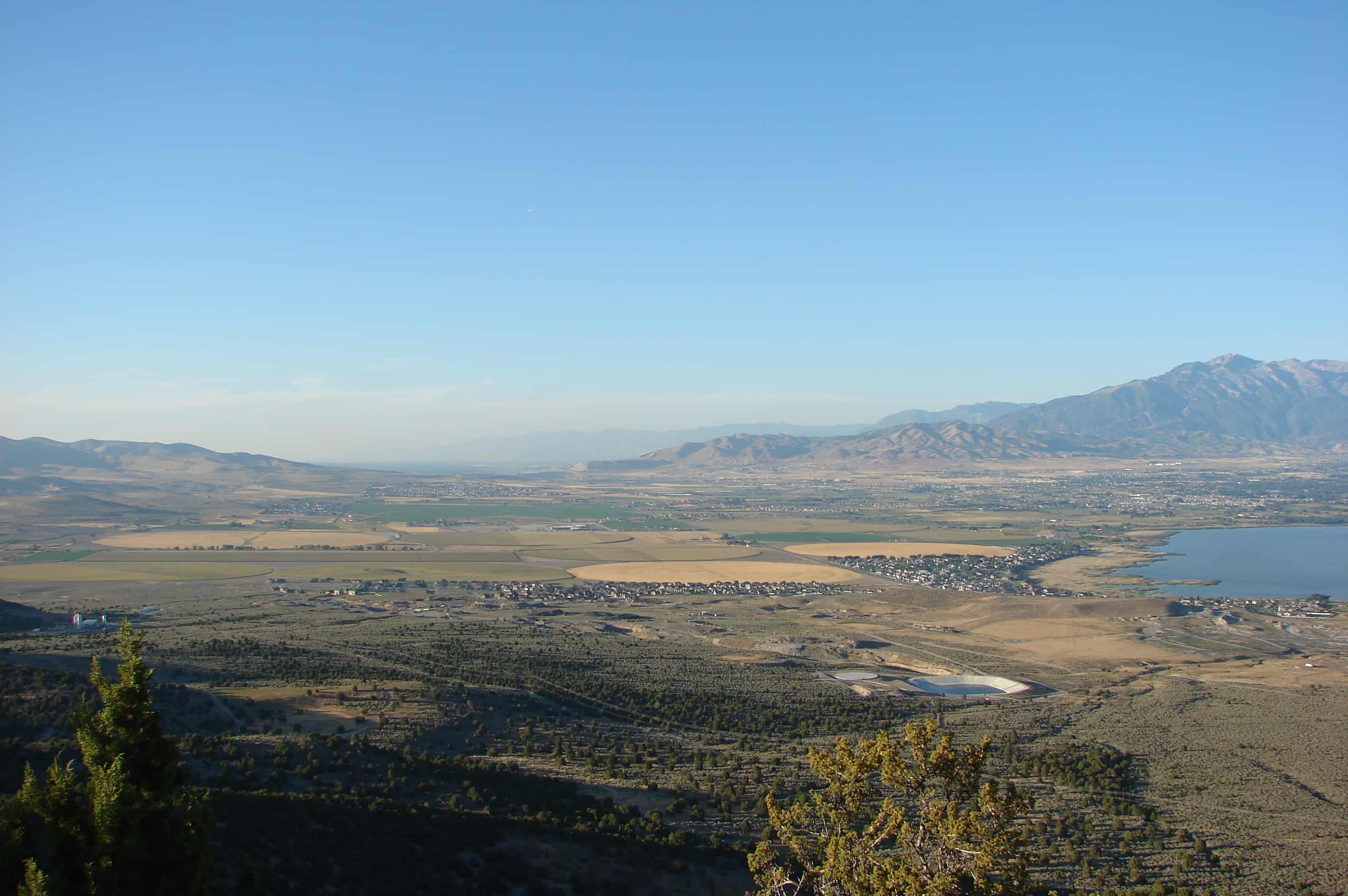
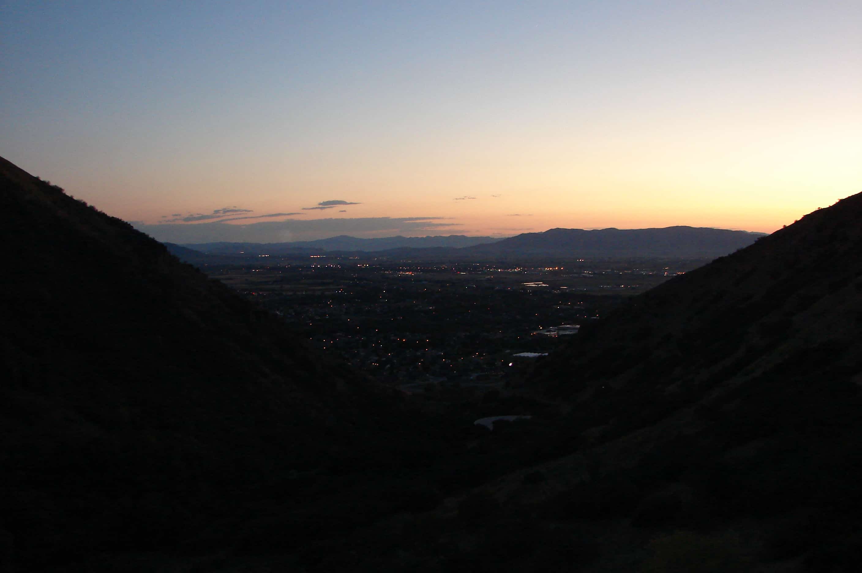
Squaw Peak is a peak above Provo and a popular hike, the high is about 7 miles total (out and back) with about 2,800 feet of elevation gained when you start at the Rock Canyon Trailhead.
09 Tuesday May 2017
Posted in Uncategorized
Tags

From Utah.com:
An easy albeit steep trail runs from the east side of Provo up to the block Y on the mountain. It is a very popular hike for college students and families. From the Y you get great views of the Provo area and Utah Lake.
The Y is made of concrete that is whitewashed regularly. A nearby generator is used to light it up during special BYU activities. The block letter is 380 feet high and 180 feet wide, and is said to be the largest collegiate symbol in the United States.
The trail to the Y is well-marked and easy to hike.


26 Sunday Feb 2017
Posted in Uncategorized
Tags
02 Monday Jan 2017
Posted in Uncategorized
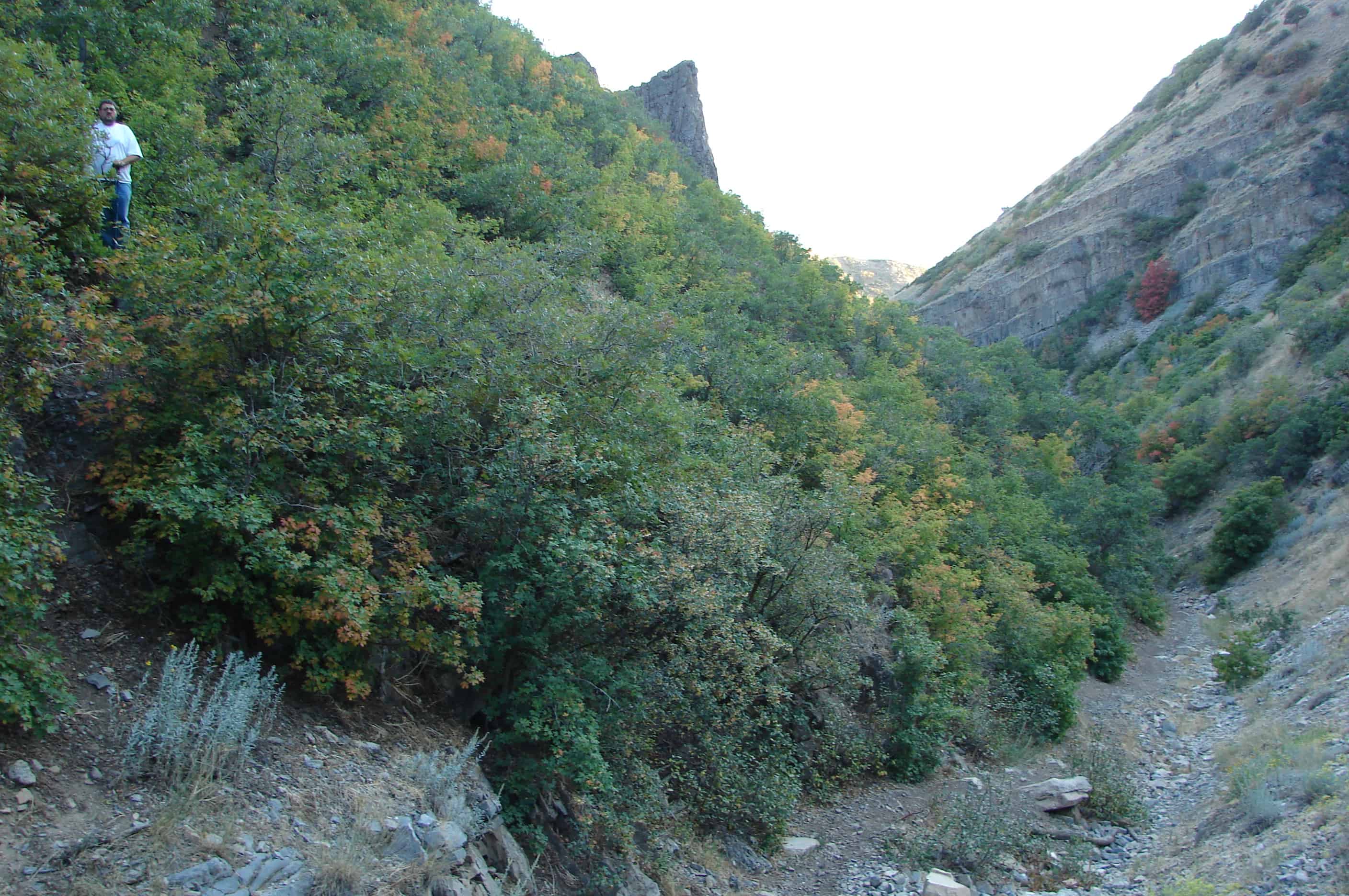
Spring Creek Canyon goes from the foothills of Springville up to Kolob Basin and the Squaw Peak Road. It’s a great hike with a lot of interesting sights.


15 Thursday Dec 2016
Posted in Uncategorized

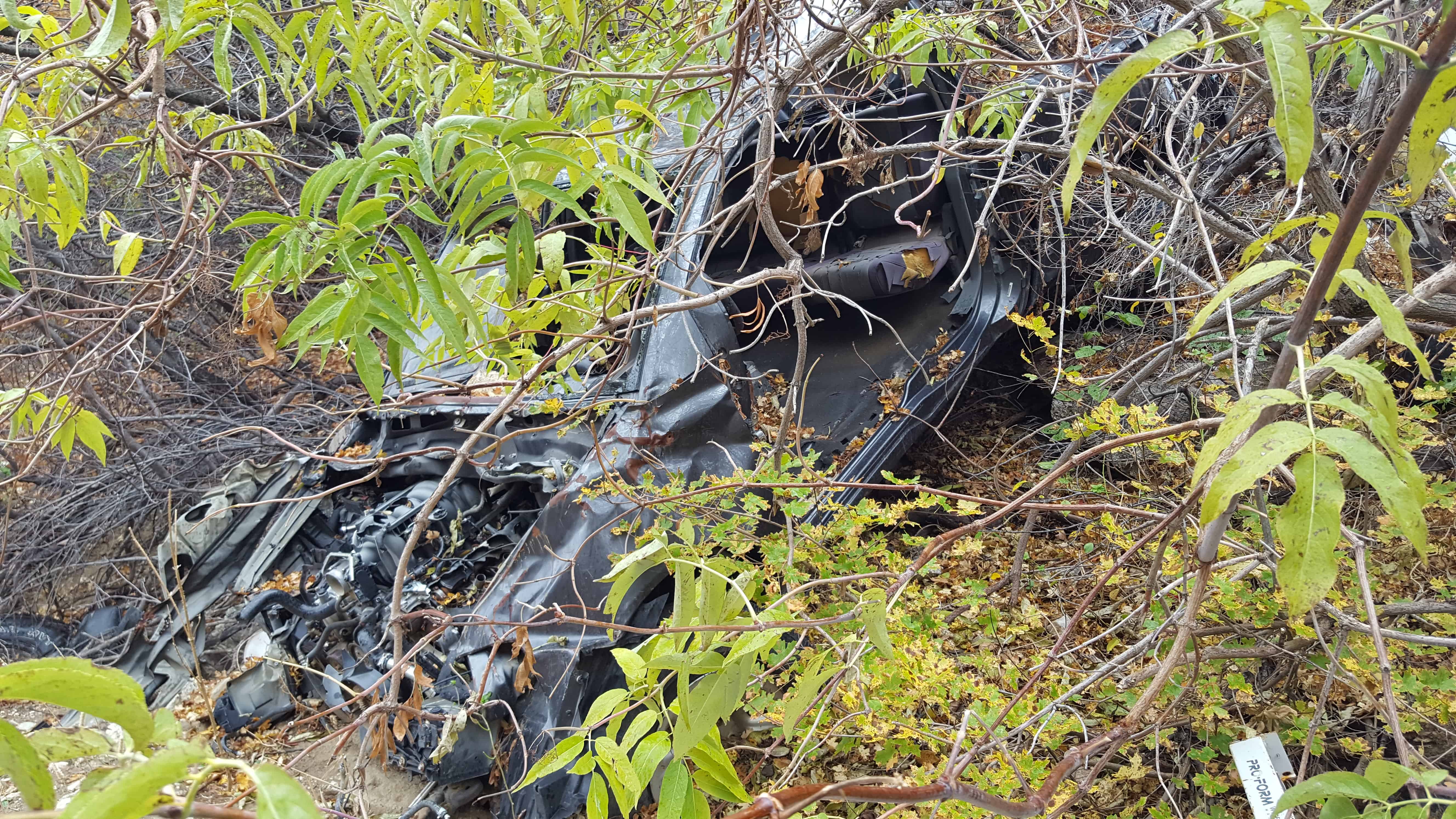
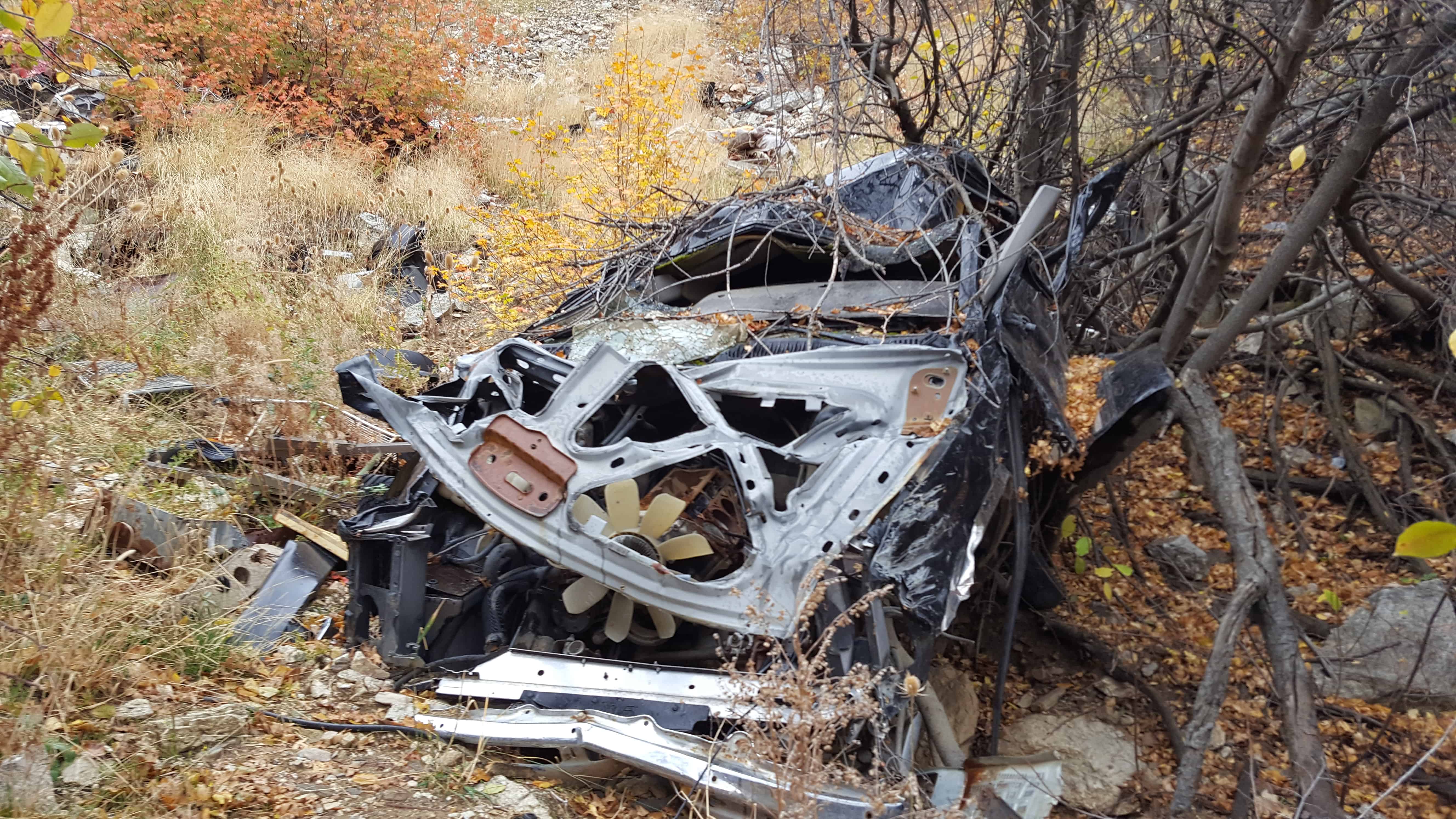
Up exploring Tie Fork, off Spanish Fork Canyon with Brian Walker. We were going for a geocache our friend Russ had hidden.
We went against the Russ’s advice thinking we found a better way (and we still think we did ) but had a couple of obstacles along the way…
The first was those silly beavers who built their pond right at a road crossing, it looked a lot deeper then it was and scared us off at first until we decided to really check by wading out into it, it turned out to be okay and we drove through it.
The main problem was when the road became a 4-wheeler trail we kept going, and kept going and going as it got narrower and narrower, we finally came around a corner and stopped because it got really really narrow, but the thing is, where we stopped we were tilted to the left pretty bad and sliding down further every time we tried to move forward or backwards… and with too much sliding we would end up rolling off the side and all the way down to the river below.
We got out and tried to figure a way out of what I had gotten us into, I really didn’t want to roll my Jeep down a mountain and was very worried. For some reason ( maybe just to help us… ) there was a top shell of an iProvo truck in the creek there… we got 2×4’s and plywood from it, some dead trees and rocks, some dirt dug up using an Ammo Can for a shovel.
THE SPIRIT OF MACGYVER LIVES ON is what Brian said when we got our makeshift road built out of wood and rocks and then it was time to drive on it and hope we built it strong enough, well… we did. All is well.
We hiked the 2 miles from there to the cache and WOW… what an amazing place, I’ve never seen anything like it before! The pictures do not give it justice at all.
We saw elk, we saw bear scat, and we enjoyed a nice 4 mile round trip hike on a beautiful day.


04 Sunday Dec 2016
Posted in Uncategorized

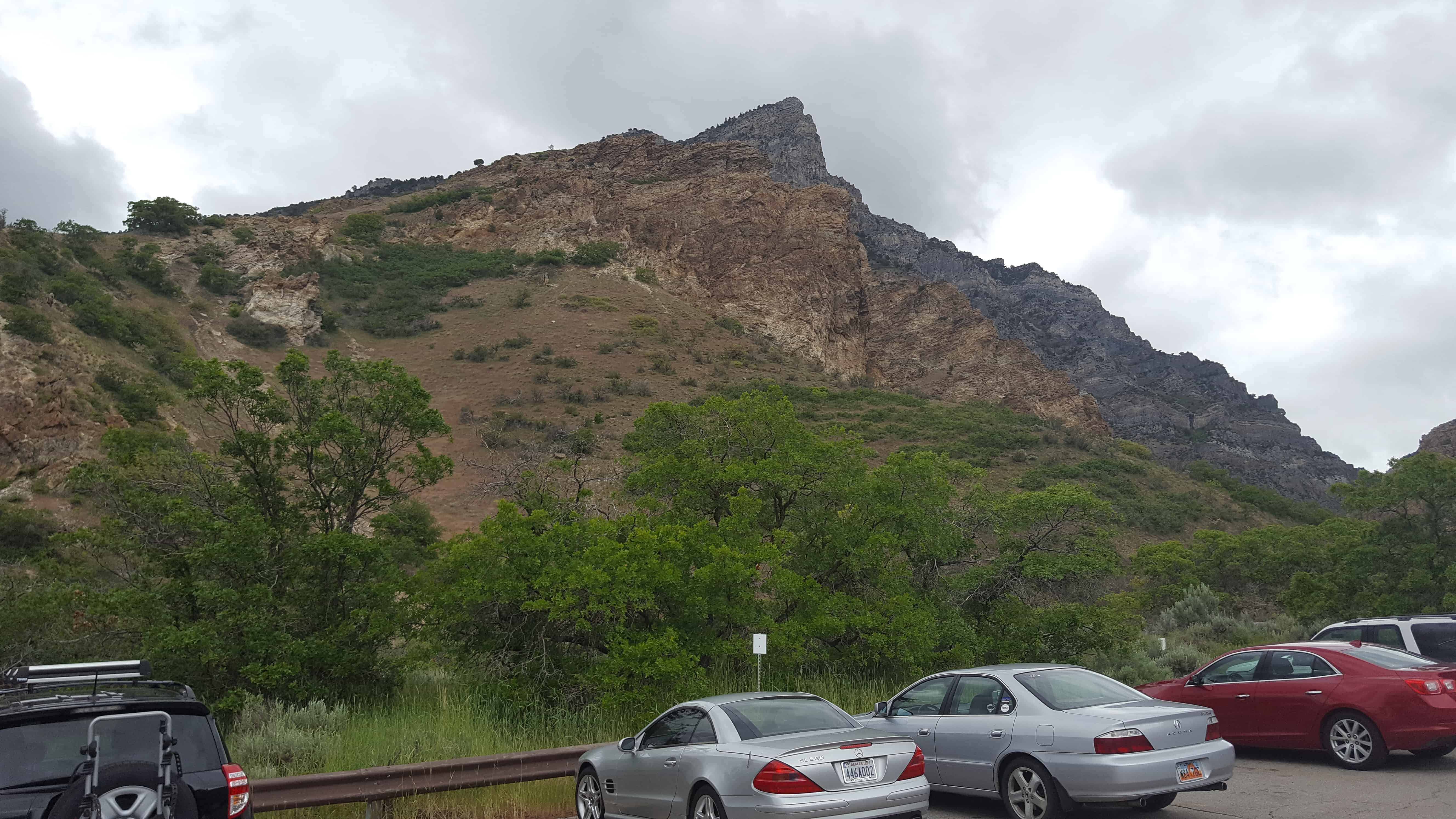
A popular hike above Salt Lake City and the University of Utah, it’s sometimes referred to as the Living Room or the Flintstone’s Living Room but I always called it The Furniture.


The trailhead is located at N 40.75928 W 111.82130
It’s about a thousand feet elevation gain to The Furniture, at N 40.76664 W 111.81170
03 Saturday Dec 2016
Posted in Uncategorized
Tags
03 Saturday Dec 2016
Posted in Uncategorized
Tags

A hike part of the way up Twin Ridges above Round Peak and Springville to find the geocache Wintering Elk.


19 Saturday Nov 2016
Posted in Uncategorized