At the junction of highways 6 and 89 in Spanish Fork Canyon where 89 cuts off to go to Sanpete is a heart made of painted rocks and three crosses memorializing 5 who have lost their lives on the road at that location.
Katie and Taylor Marcus from Ogden tragically lost their lives April 3rd, 2014.
16-year-old Katherine “Katie” Pauline Marcus and her 12-year-old brother, Taylor Zane Marcus were the inspiration for the heart memorial.
The next year, 38-year-old Heather Jacobson and 7-year-old Broc Jacobson of Cleveland, Utah were also killed at the location.
A third cross was added for Merlene Green of Fairview who had been killed at the intersection back on October 2, 2003.
Hopefully we can all be a little extra careful and remember these people who were gone too soon.
The town of Tucker was located near a sharp curve at the bottom of a 5% grade along U.S. Route 6. In 2009, the Utah Department of Transportation closed and buried the Tucker rest area to build a safer alignment, with a banked curve and reduced grade. In 2010, the department dedicated a replacement rest area about 2 miles downstream from Tucker (mile post 202). The structure was named the Tie Fork Rest Area after the side canyon where it was located. The replacement rest area was designed to mimic an early 1900s era train depot to honor the town, including a replica roundhouse and non-functional steam locomotive built by Original Creations of Carbonville, Utah. The buildings were designed by the Archiplex Group of Salt Lake City. The rest area was voted one of the most beautiful buildings in the state of Utah in a contest sponsored by the American Institute of Architects. It is also one of the busiest non-freeway rest areas in the state.
The rest area was officially opened on 16 Aug 2010 and is supported financially by Carbon, Emery, Grand, and Utah counties, as well as the Manti-La Sal National Forest and Utah State Parks (Division of Utah State Parks and Recreation). Each of the sponsors have provided interpretive displays at the rest area and share the estimated annual $17,000 cost of maintenance.
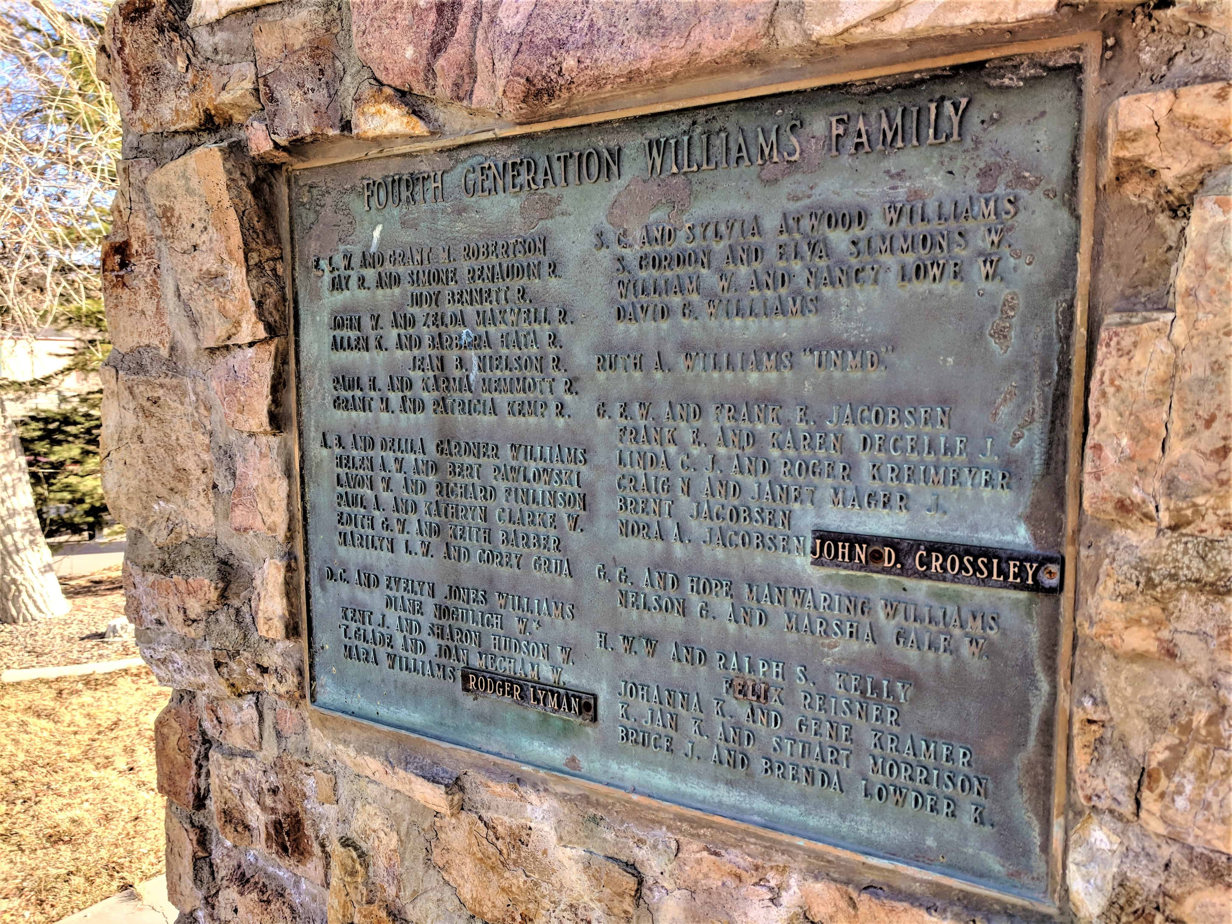
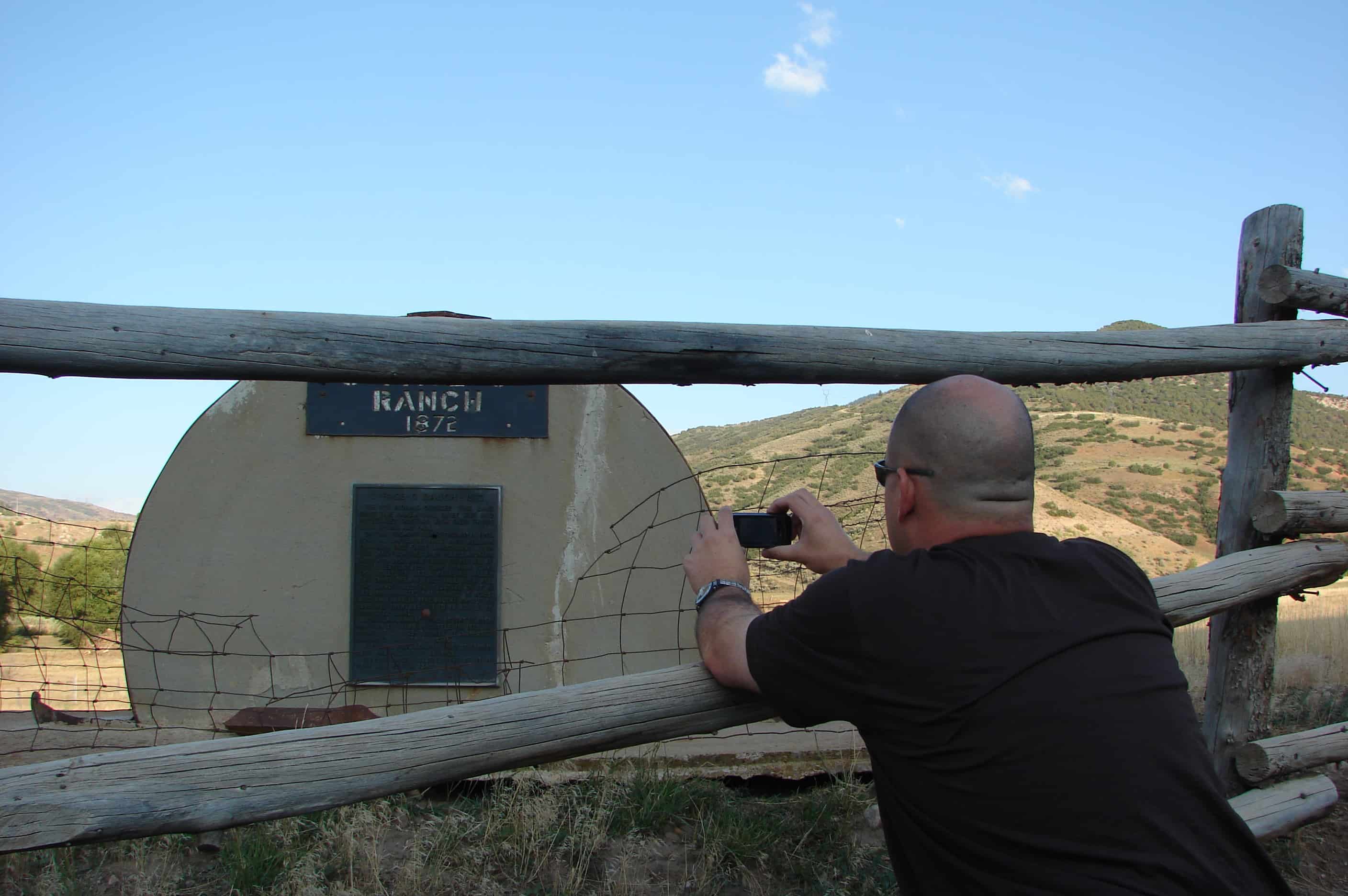
Original homestead at this site by Simeon Comfort & Edith Hannah Cornaby Powell.
Powell children:
Edith Amelia P. “Sackett”
Simeon James P.
Hannah Caroline P. “Williams”
Samuel March P.
Alma J. P.
William T. & Hannah C. P. Williams acquired the original property along with other property totaling 5,000 acres in the Tie Fork and South Side of Canya, include ranch homes at min and west canyon.
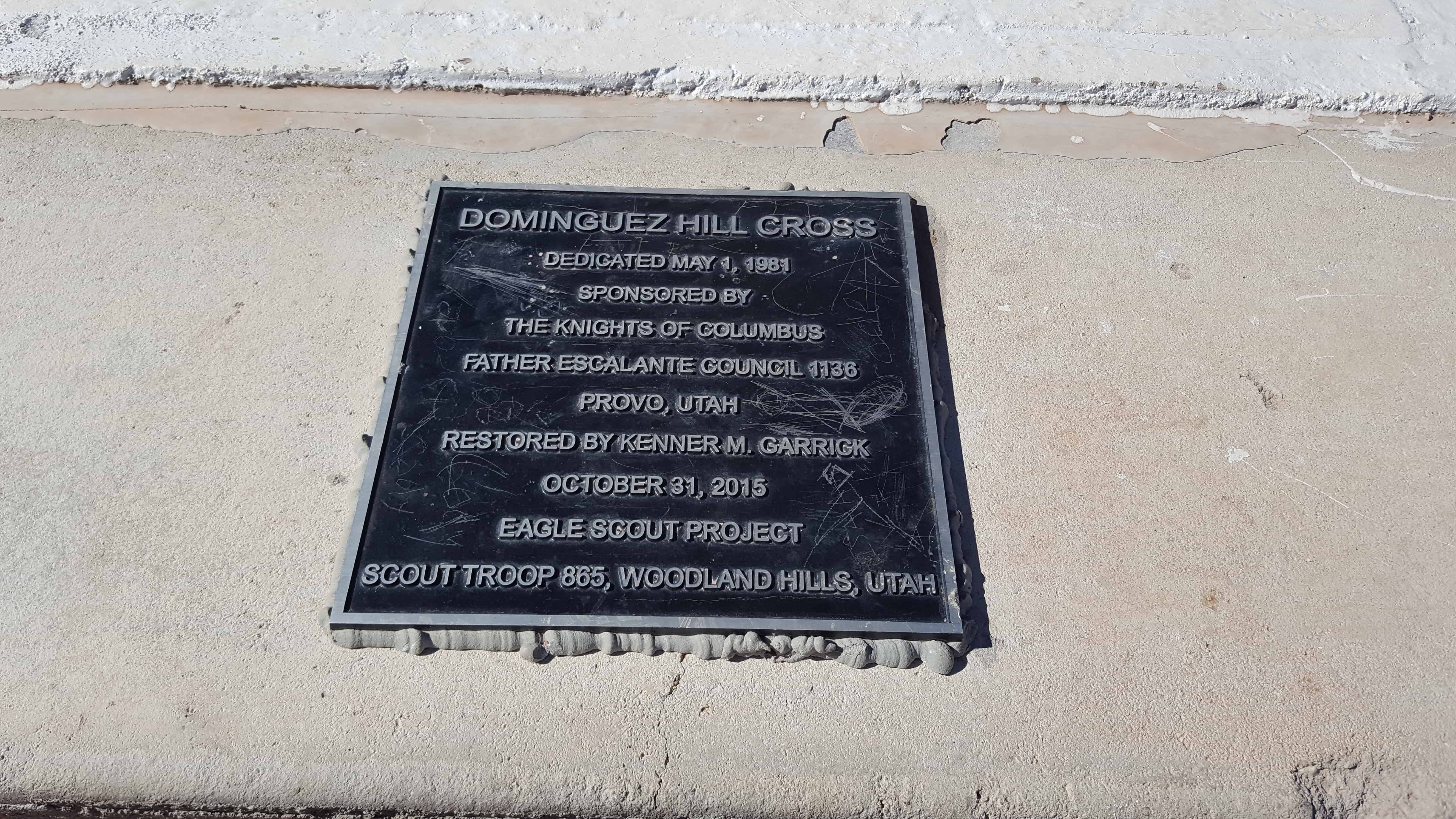
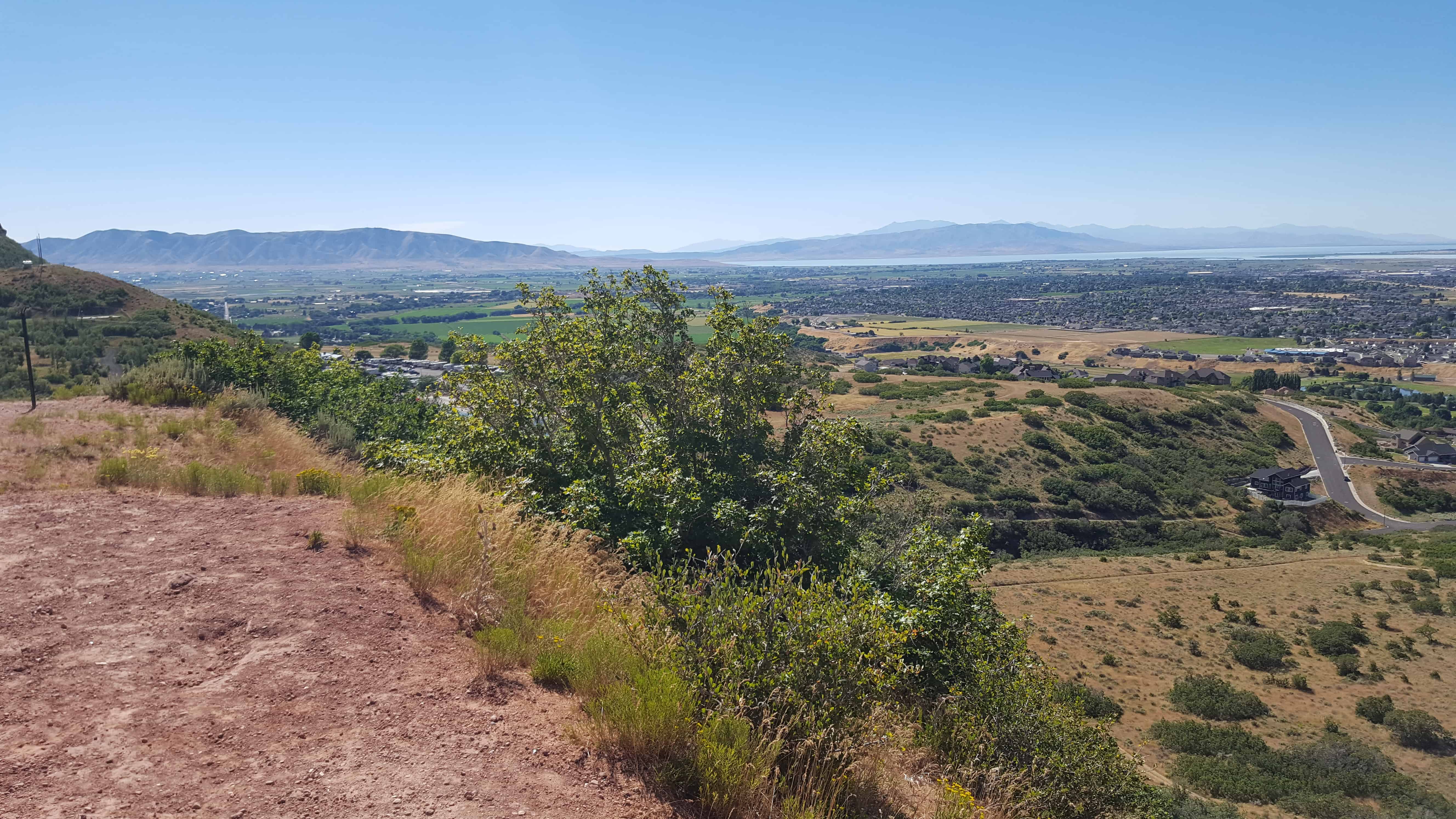
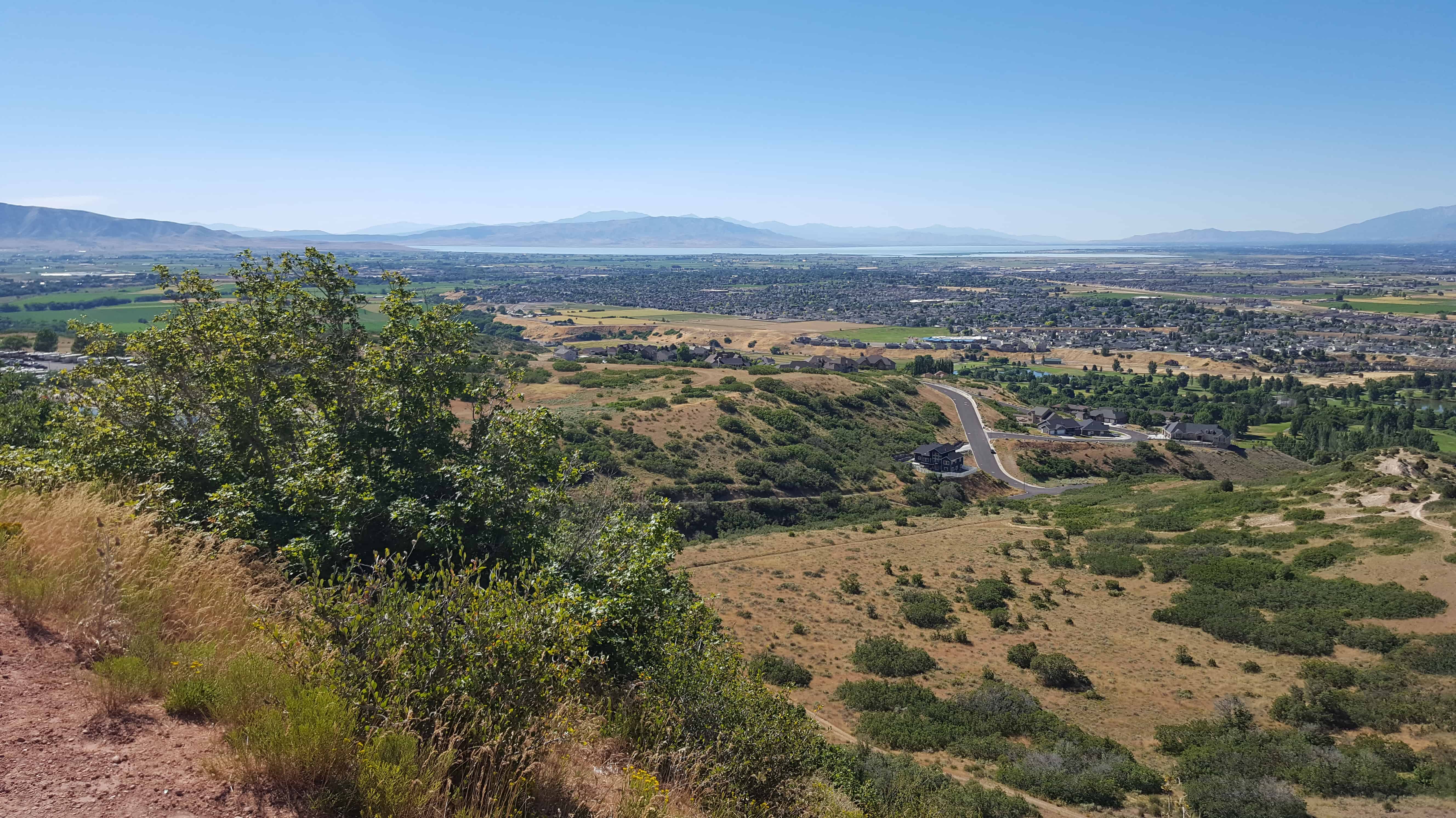
I grew up hiking up to this cross often, it overlooks Spanish Fork and Utah County better than most hikes this short could. We always called it Escalante Cross. Recently (Oct. 2015) an Eagle Scout Project added a plaque calling it Dominguez Hill Cross – I didn’t find anything to back that up but I guess if you add the plaque you can pick the name.
A couple other posts on this site about the cross are:
Up exploring Tie Fork, off Spanish Fork Canyon with Brian Walker. We were going for a geocache our friend Russ had hidden.
We went against the Russ’s advice thinking we found a better way (and we still think we did ) but had a couple of obstacles along the way…
The first was those silly beavers who built their pond right at a road crossing, it looked a lot deeper then it was and scared us off at first until we decided to really check by wading out into it, it turned out to be okay and we drove through it.
The main problem was when the road became a 4-wheeler trail we kept going, and kept going and going as it got narrower and narrower, we finally came around a corner and stopped because it got really really narrow, but the thing is, where we stopped we were tilted to the left pretty bad and sliding down further every time we tried to move forward or backwards… and with too much sliding we would end up rolling off the side and all the way down to the river below.
We got out and tried to figure a way out of what I had gotten us into, I really didn’t want to roll my Jeep down a mountain and was very worried. For some reason ( maybe just to help us… ) there was a top shell of an iProvo truck in the creek there… we got 2×4’s and plywood from it, some dead trees and rocks, some dirt dug up using an Ammo Can for a shovel.
THE SPIRIT OF MACGYVER LIVES ON is what Brian said when we got our makeshift road built out of wood and rocks and then it was time to drive on it and hope we built it strong enough, well… we did. All is well.
We hiked the 2 miles from there to the cache and WOW… what an amazing place, I’ve never seen anything like it before! The pictures do not give it justice at all.
We saw elk, we saw bear scat, and we enjoyed a nice 4 mile round trip hike on a beautiful day.
Across Spanish Fork Canyon from the Mill Fork Cemetery, Mill Fork Canyon goes South up into the mountains with many routes to take to places like Smith’s Reservoir.
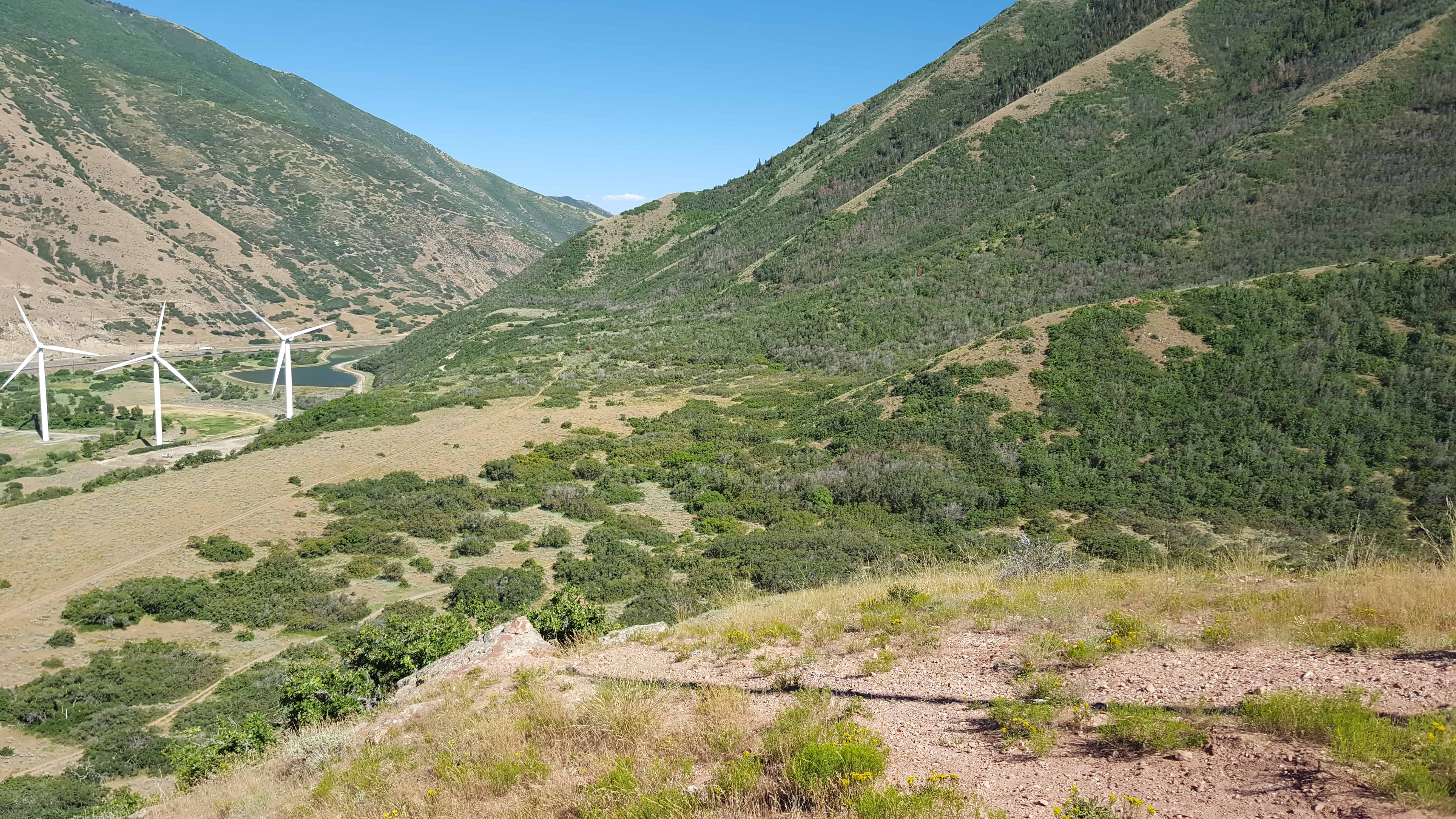
This trail, which is also an ATV route, begins in a grassy meadow and then makes a steep climb through scattered maple and scrub oak, eventually leveling out into a gently climbing trail. This trail provides a panoramic view of Diamond Fork and the surrounding mountain ranges. At the end of the six mile trek, the Monks Hollow Trail ends and the Longs Hollow Trail begins.