Tags
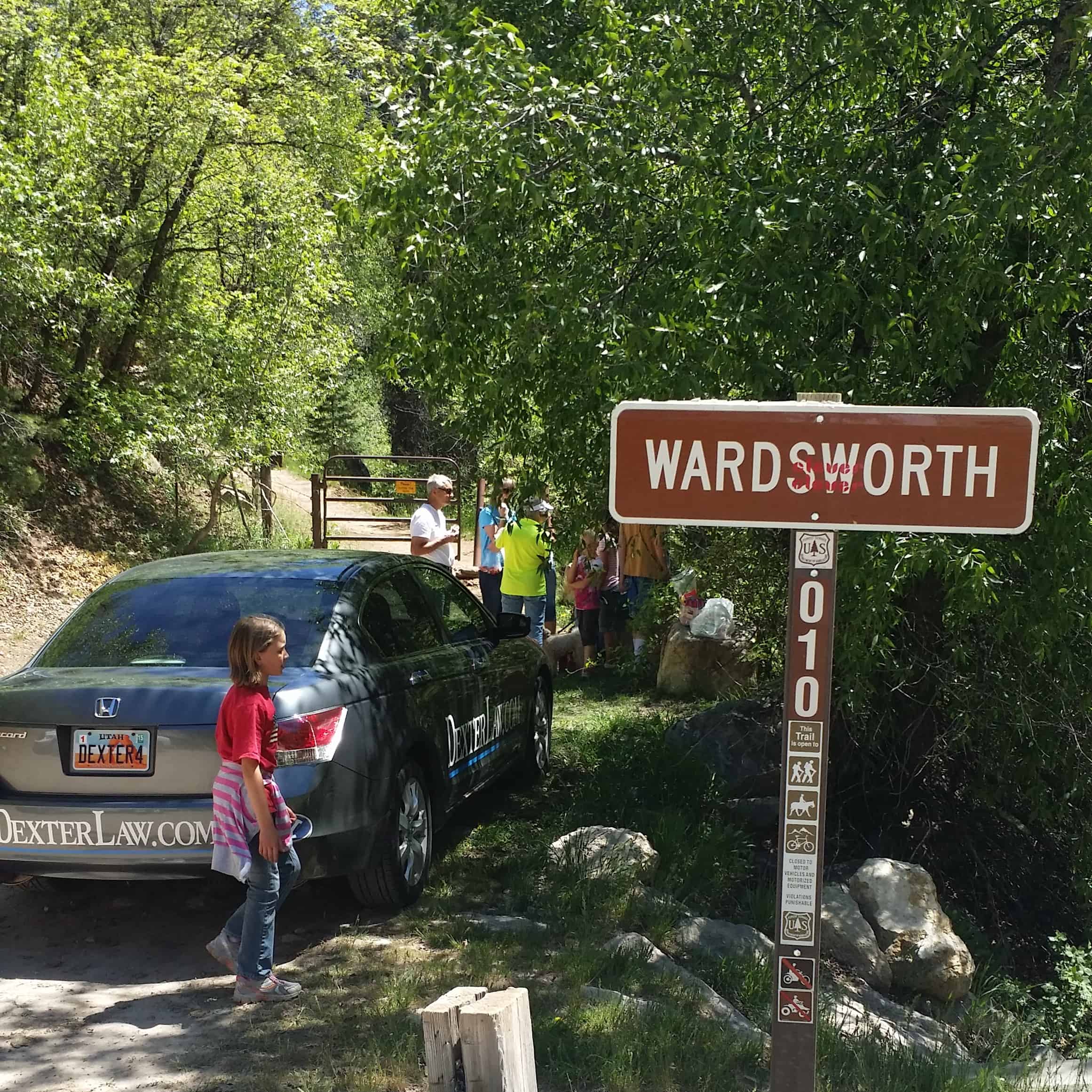
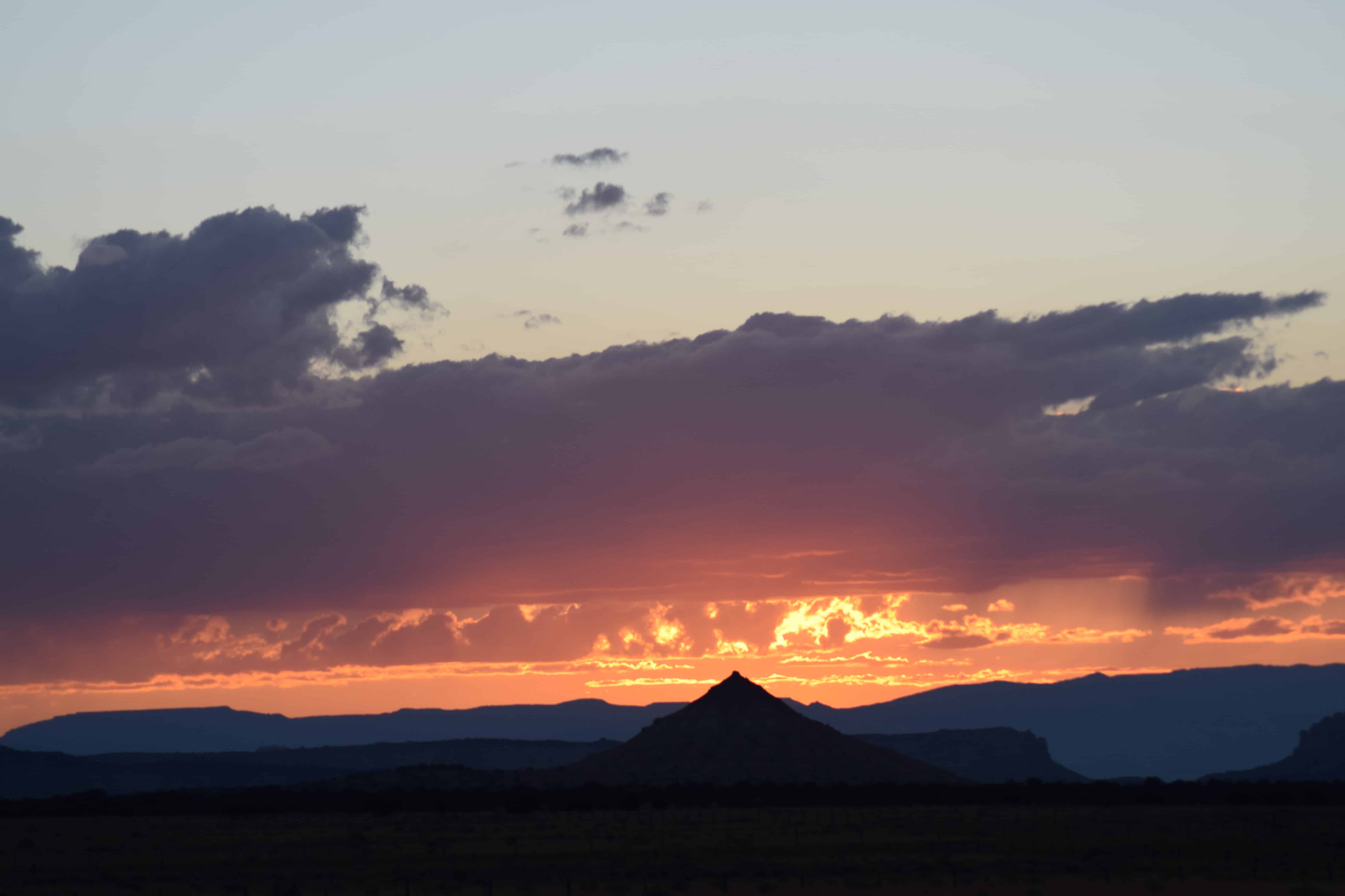
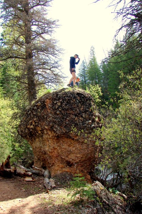
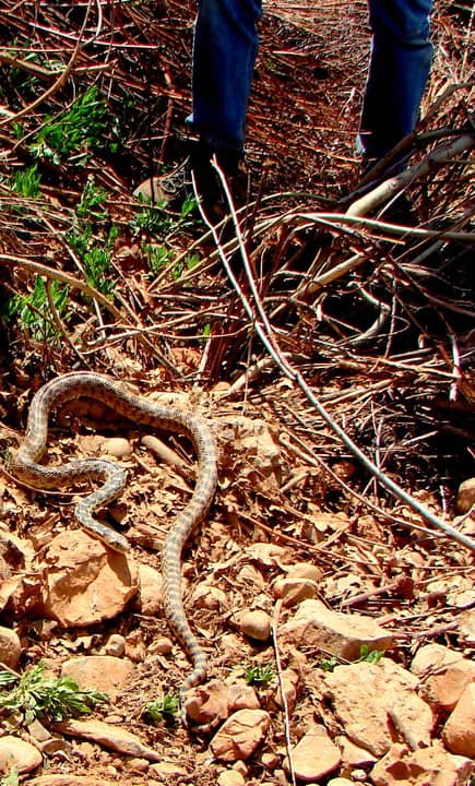
Snell Canyon
19 Saturday Nov 2016
Posted in Uncategorized

19 Saturday Nov 2016
Posted in Uncategorized
Tags
12 Wednesday Oct 2016
Posted in Uncategorized
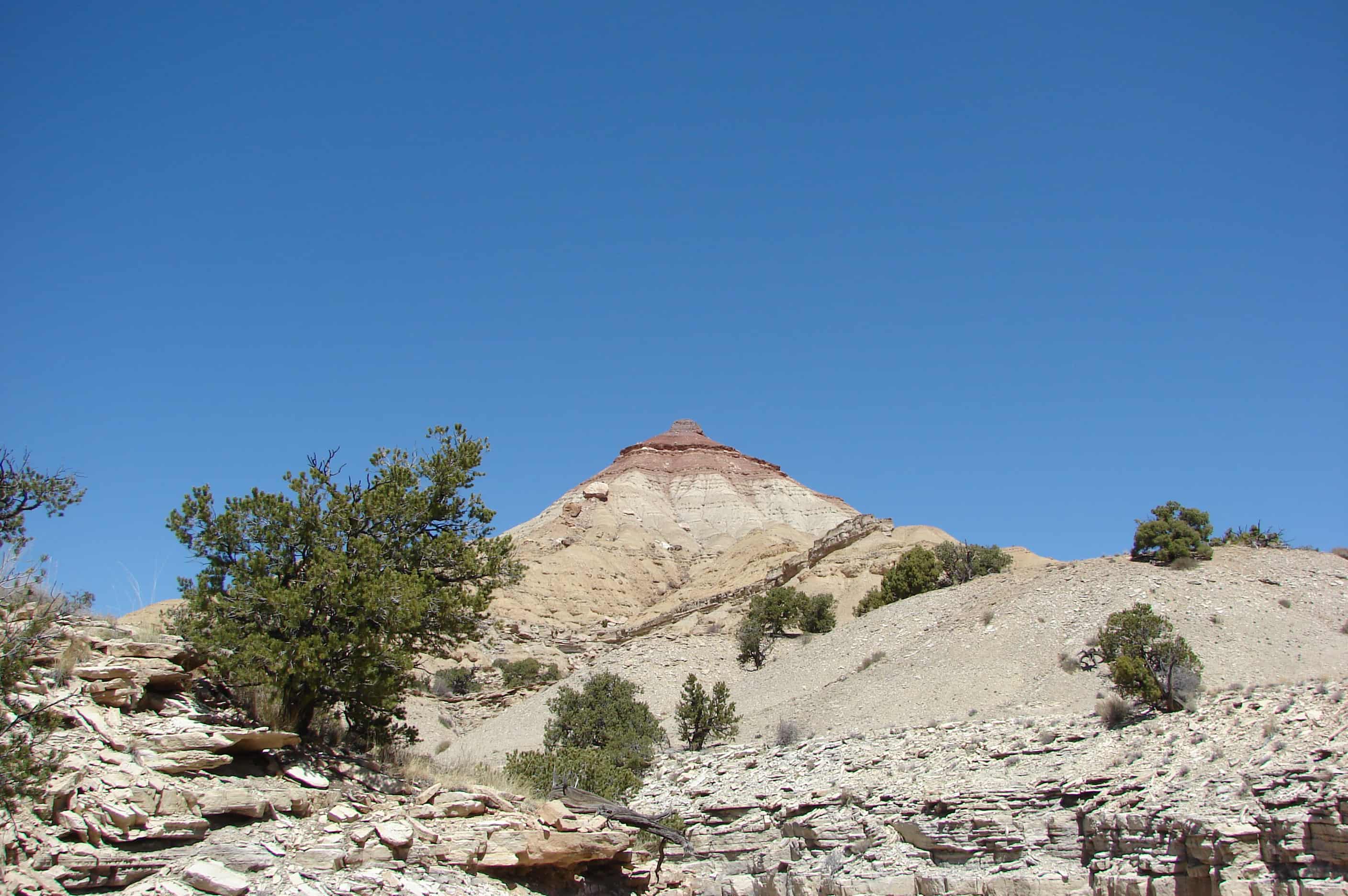
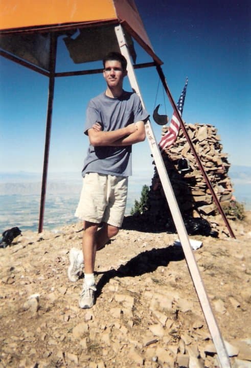
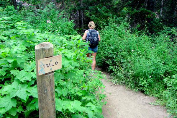
There is a prominent peak in the area called The Wickiup. It stands alone, with layers of color all the way up the cone. You can see it from I-70, and there are two trails that make a loop around it. Combine this trail with Road Hollow and you have a nice loop with The Wickiup in the center.(*)


08 Saturday Oct 2016
Posted in Uncategorized
Tags
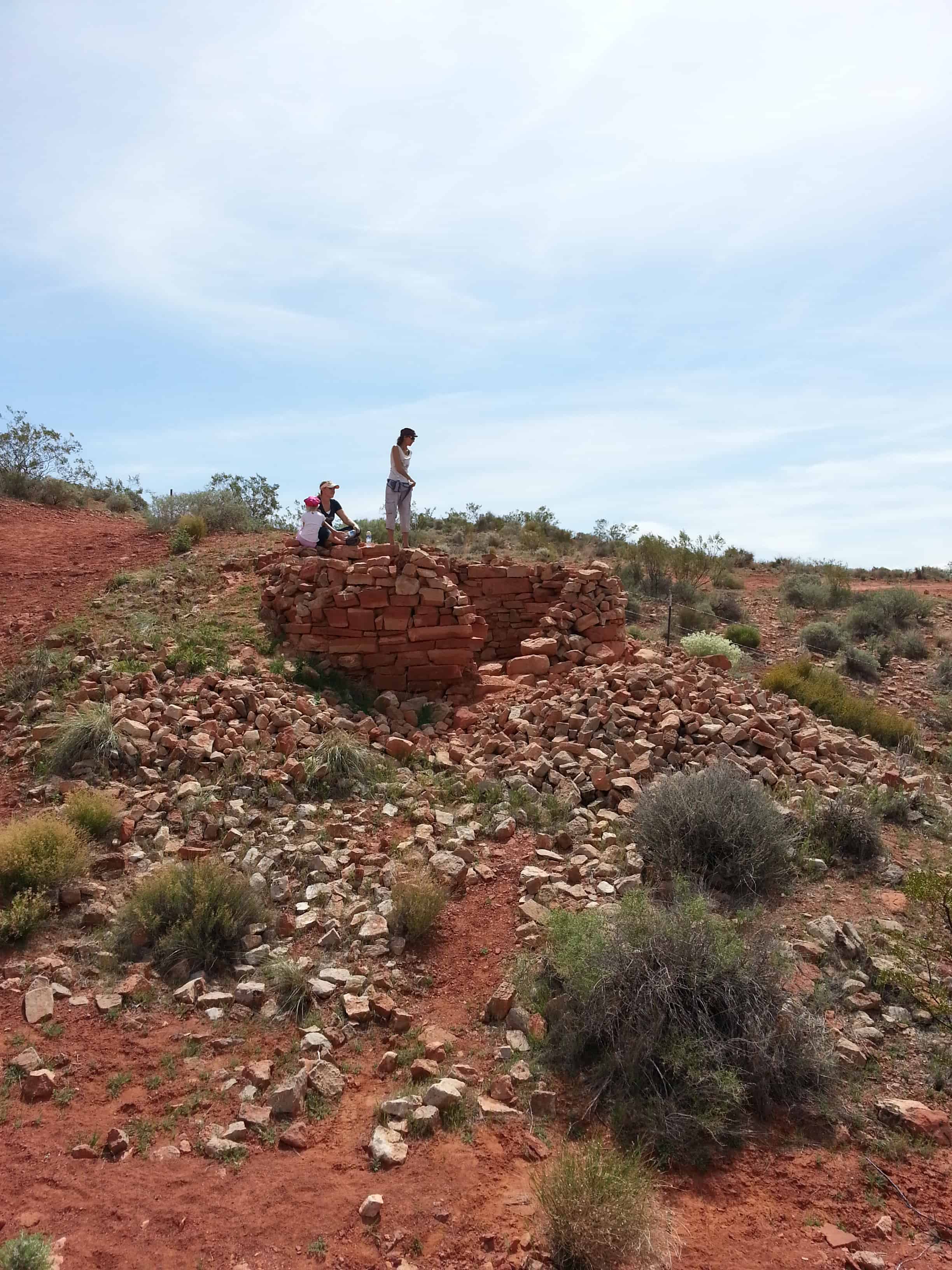
Hiking, Ruins, St. George, utah, Washington, Washington County
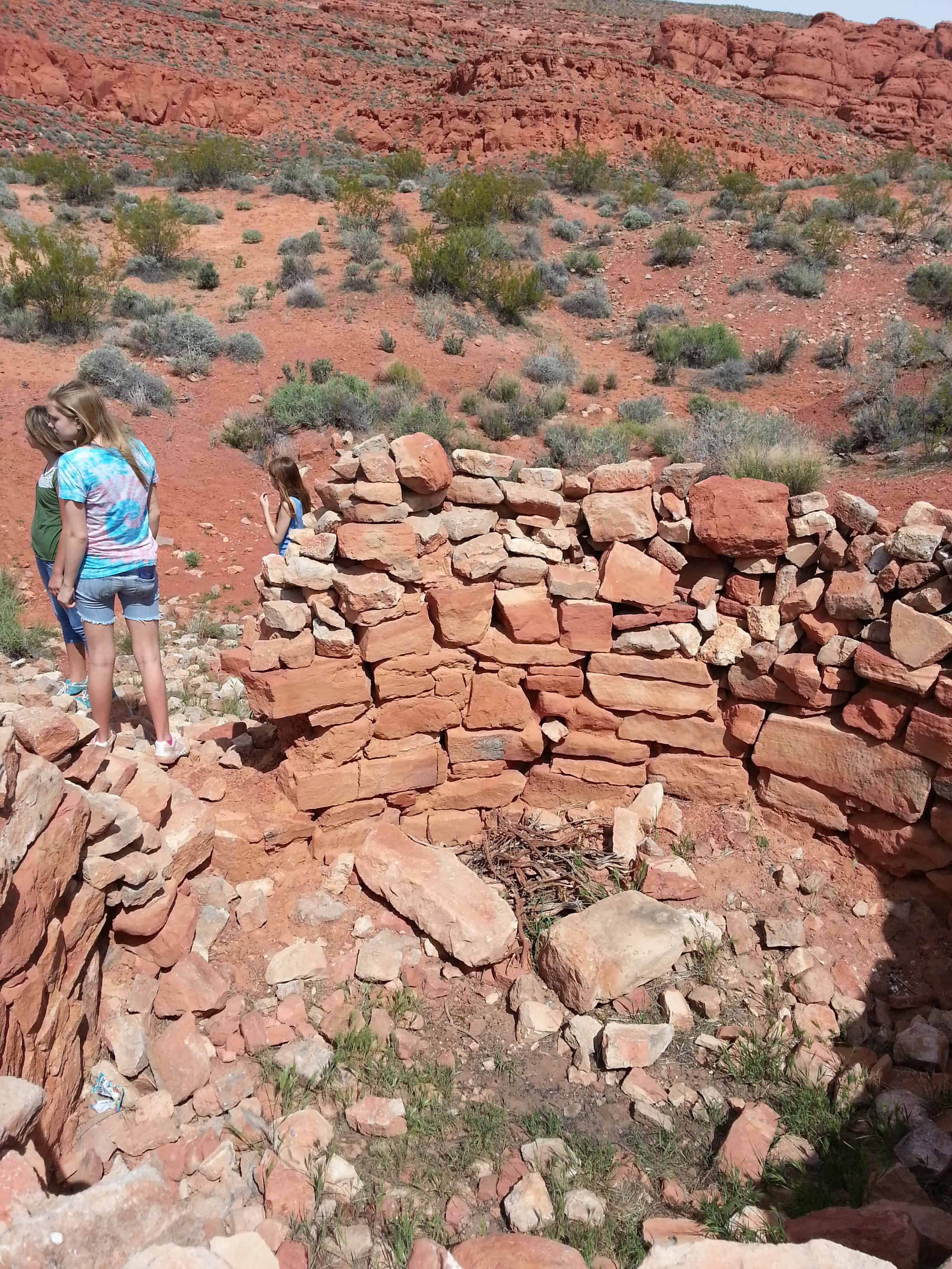
Out geocaching near the Dino Cliffs Trailhead just outside St George and found these cool ruins of round structures.

23 Tuesday Aug 2016
Posted in Uncategorized
Tags
Benchmarks, Hiking, Maple Mountain, Mapleton, spanish fork, Spanish Fork Peak, Springville, utah, utah county
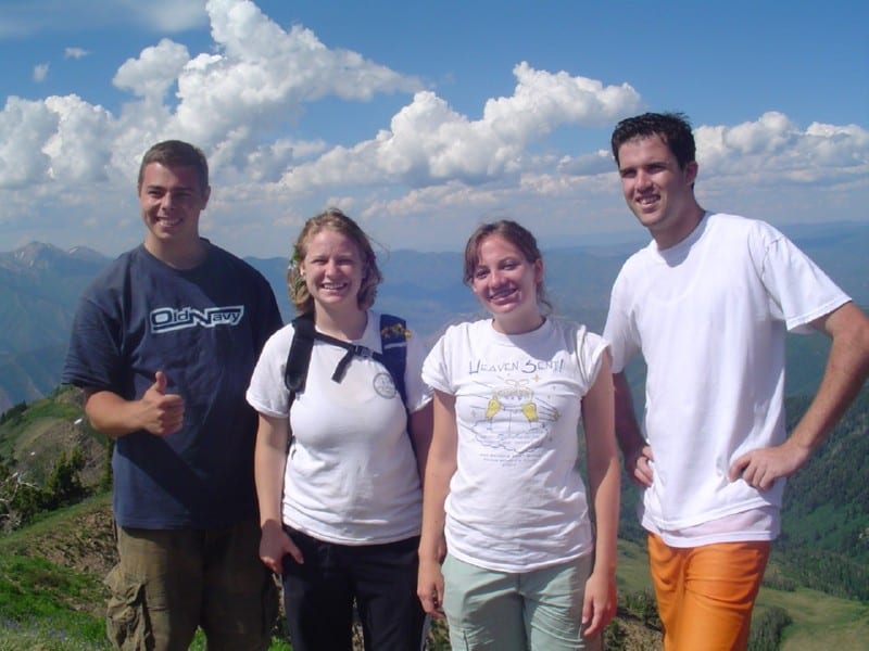
Maple Mountain is above Mapleton and Spanish Fork, I grew up in Mapleton and hiked that mountain more times that I could count or remember. It’s a gorgeous hike but a longer one, there’s a nice pond we call Maple Lake when you’re most of the way up and it’s a great place to stop for a while before finishing.
The trail starts at the top of Whiting Campground, a quarter-mile after that you cross the creek to take trail 007 and can’t miss it from there.
I’ve had the hike take 12 hours up and back many times including time to play in the lake and catch salamanders but when hurrying and when in Shape I’ve gone up in 2 hours and come back down about that quick.
There’s plenty of wildlife and scenery and amazing views of the valley from the saddle (after the lake and before the top.)
Growing up in Mapleton everyone I knew called it Maple Mountain, the same with those in Springville – but over in Spanish Fork I found out that most people called it Flonette. We also called it Sierra Bonita (Beautiful Mountain) regularly. The debate continues because the SF people insist it is Flonette and other insist Maple Mtn. Local landmarks, schools, businesses and such are named for both Maple Mountain and Flonette so trying to use that as “proof” is futile and trying to look to real or official maps doesn’t work because all I’ve seen just identify the peak as Spanish Fork Peak but do not name the mountain. I’ve also heard that in the 50’s and 60’s it was mostly called Front Mountain.
Related posts:


21 Sunday Aug 2016
Posted in Uncategorized
Tags

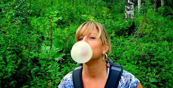
Leah and I were up on the Springville foothills looking at the Sego Lilies, the Sego Lily is Utah’s State Flower.


18 Thursday Aug 2016
Posted in Uncategorized
Tags
Diamond Fork, Diamond Fork Canyon, Fifth Water, Hiking, Hot Springs, spanish fork canyon, utah, utah county, Waterfalls

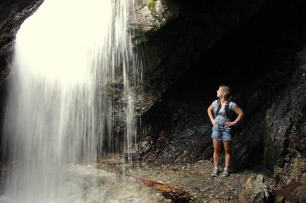
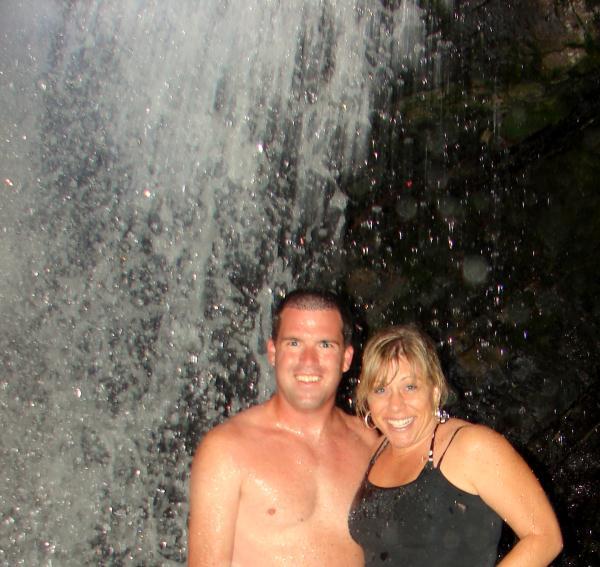
The Fifth Water Hot Springs / Hot Pots and the nearby waterfall are a fun place to relax and play. It’s a couple miles+ one way from the parking lot in Diamond Fork Canyon and a very well used trail. It is often mistakenly called Diamond Fork Hot Springs, Spanish Fork Hot Springs and others but Fifth Water is the real name.


It’s also well known for nudists, lots of rumors that the local law enforcement try to stop it but be warned if you’re offendable.
Related:


Above photos from July 2010 – Below from May 2011


18 Thursday Aug 2016
Posted in Uncategorized

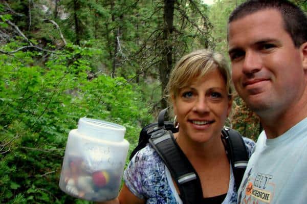
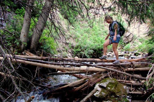
I hiked up to Donut falls with Tammy, the hike up was nice, about three quarters of a mile from parking to the falls. We played around a while at the falls and found a geocache then we decided to find our own way down, that is always a bad idea, why don’t I learn? sliding down hillsides, climbing cliffs, jumping across raging rivers, running into a moose just a few feet away from us…. another good adventure in the books.


22 Sunday May 2016
Posted in Uncategorized
22 Thursday Oct 2015
Posted in Uncategorized
Tags

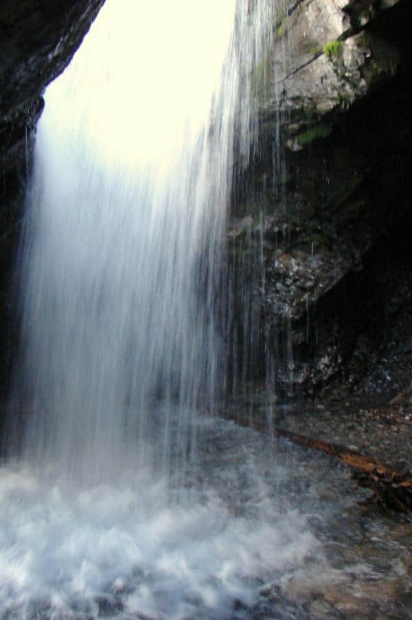
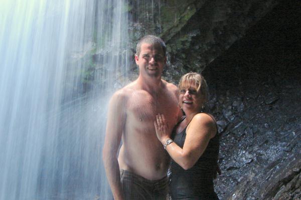
The Grotto is an alcove with a small waterfall, a very popular hike in Payson Canyon because it is short, easy and pretty. It’s only about a quarter mile from the road so bring the kids and come stand under a cold waterfall.
11 Monday Aug 2014
Posted in Uncategorized


July 26, 1847, two days after the Mormon pioneers entered this valley Brigham Young and party climbed to this point and with the aid of field glasses made a careful survey of the mountains, canyons and streams. In the group were Heber C. Kimball, Wilford Woodruff, George A. Smith, Ezra T. Benson, Willard Richards, Albert Carrington and William Clayton.
Wilford Woodruff, first to ascend the peak, suggested it as a fitting place to “set up an ensign” (Isaiah 11:12). It was then named Ensign Peak. Subsequently the Stars and Stripes were raised here.
To start the hike, park at : N 40° 47.514 W 111° 53.300
Ensign Peak related posts: