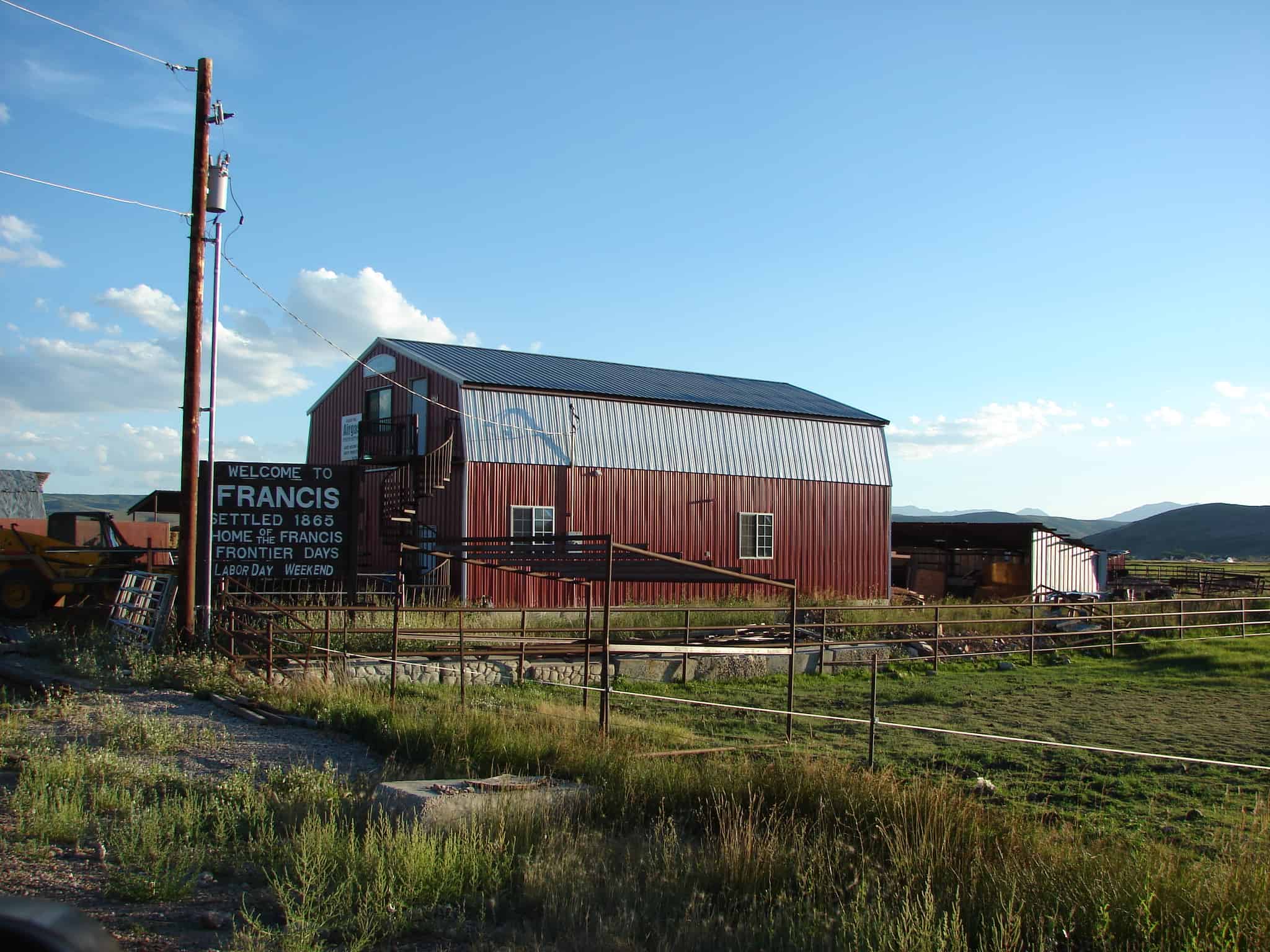
• About JacobBarlow.com
  • Cemeteries in Utah
  • D.U.P. Markers
  • Doors
  • Exploring Utah Email List
  • Geocaching
  • Historic Marker Map
  • Links
  • Movie/TV Show Filming Locations
  • Oldest in Utah
  • Other Travels
  • Photos Then and Now
  • S.U.P. Markers
  • U.P.T.L.A. Markers
  • Utah Cities and Places.
  • Utah Homes for Sale
  • Utah Treasure Hunt

JacobBarlow.com

~ Exploring with Jacob Barlow

JacobBarlow.com

Tag Archives: Kamas

Marion, Utah

03 Monday Oct 2016

Posted by Jacob Barlow in Uncategorized

≈ Leave a comment

Tags

Kamas, Marion, Oakley, summit county, utah

picture16aug07-133

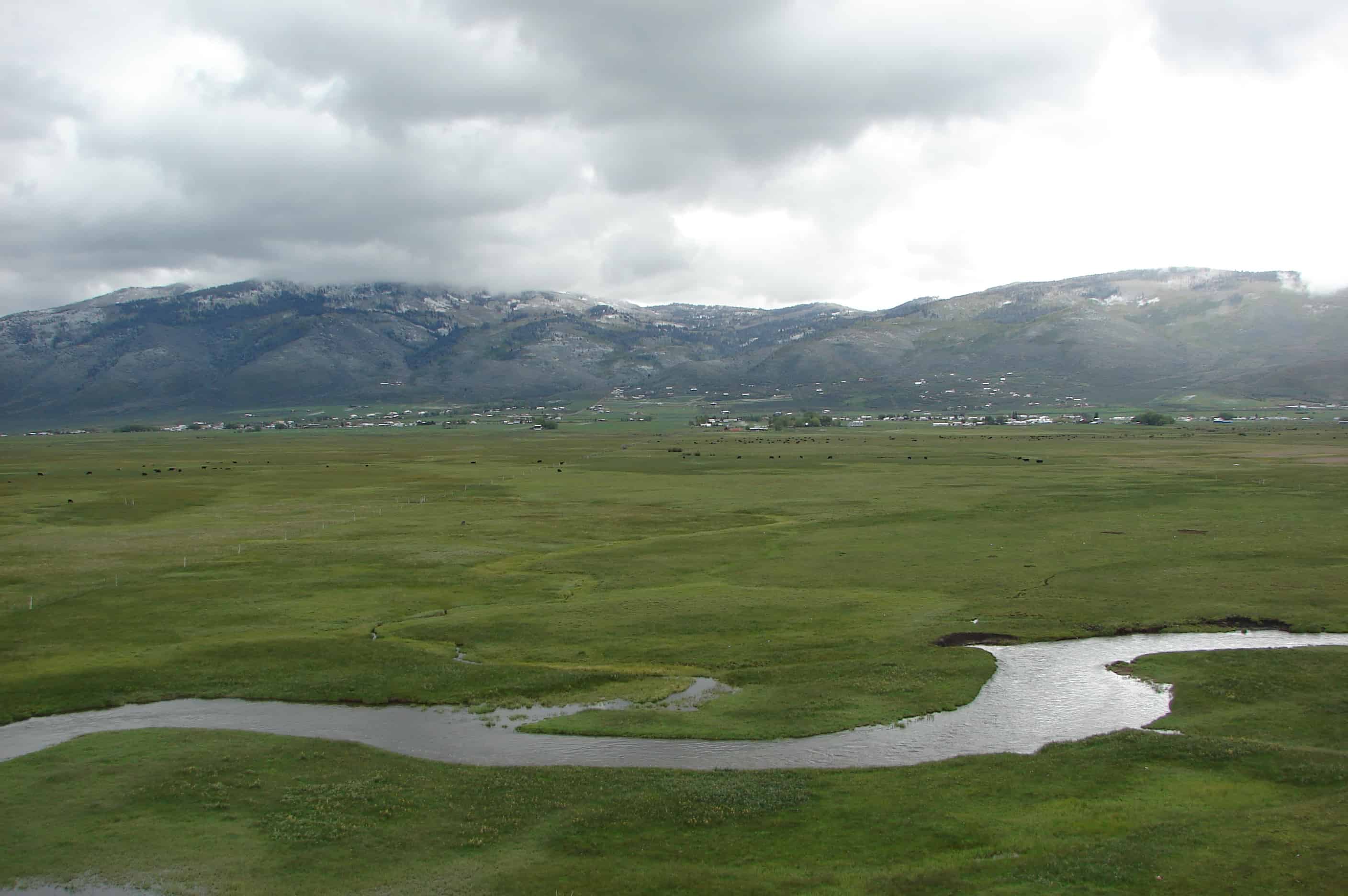
(From Wikipedia) The area that is now Marion was used in the 1860s by rancher Samuel P. Hoyt, whose 600–700 head of cattle grazed over most of Marion’s land. The settlement itself was founded in the mid-1870s and was originally named “Morrell” after William Morrell, who built the first house. A large portion of the early settlers were Danish American immigrants, and the community was also often called “Denmark”.

The name Marion has been credited to two different sources: Francis Marion Lyman, who, as President of the Quorum of the Twelve Apostles of The Church of Jesus Christ of Latter-day Saints, organized the first ward in the area in 1909, and Marion Myrick Sorensen, who settled here with her first husband in 1882. The Marion precinct first appeared under that name in the 1900 census.

Marion made news in 1979 when resident and polygamist homeschooler John Singer was killed while resisting arrest. The community garnered further publicity in 1988 when Singer’s son-in-law, Addam Swapp, bombed the LDS stake center in Marion and was arrested after a 13-day standoff with state and federal law enforcement.

Related Posts:

  • The Myrick House
picture12june08-010
picture12june08-009

Hideout, Utah

24 Wednesday Aug 2016

Posted by Jacob Barlow in Uncategorized

≈ Leave a comment

Tags

Hideout, Kamas, summit county, utah, Wasatch County

  • 2016-05-31 11.47.43

Hideout, Utah, established July 2008, with a population of 820 residents. Hideout encompasses approximately 2,500 acres and borders the shores of the Jordanelle Lake. There are miles of shoreline trails and connections to Park City, and this, along with surrounding area trail systems, makes Hideout an outdoor enthusiast community. Our town boasts breathtaking views of Deer Valley, the Wasatch Mountains, and the Jordanelle Lake. In the short period of time the Town of Hideout has been established, there have been many improvements to the area. This is largely due to the fact that the area now has local representation. The governing body is focused on and concerned about the area and its residents’ needs.(*)

  • 2016-05-31 11.48.44
  • 2016-06-07 13.59.37
  • 2016-06-07 13.59.43

Auerbach Barn

24 Wednesday Aug 2016

Posted by Jacob Barlow in Uncategorized

≈ Leave a comment

Tags

Barns, Francis, historic, Historic Buildings, Kamas, summit county, Wasatch County

2016-05-31 10.53.05

Just outside Francis to the west,  this red and white “classic American barn” with gambrel roof is an example of an 1850s Improvement Era barn, which combined a traditional barn with a milking parlor and loafing shed.
Rasmus R. Larsen, a Danish immigrant, purchased the acreage in 1908 and created one of the first farmsteads in the early 1930s.  The property transferred to Frank Sorenson and Herbert Auerbach in the late 1930s, and the barn has been known as the Auerbach Barn ever since.

2016-05-31 10.52.45
2016-05-31 10.54.11


2016-07-13-12-07-22
2016-07-13-12-07-45


Samak, Utah

21 Sunday Aug 2016

Posted by Jacob Barlow in Uncategorized

≈ Leave a comment

Tags

Francis, Kamas, Samak, summit county, utah

SAMAKHILLS

Samak is a small town in Summit County.

The name is simply the reversal of the name of the nearby city of Kamas.

Samak is home to the Samak Store and Smoke House, a general store known for its homemade smoked meats, including beef and turkey jerky and trout. The store is operated year-round and is a popular destination for tourists headed into the Uinta Mountains.

Kamas, Utah

23 Friday Oct 2015

Posted by Jacob Barlow in Uncategorized

≈ 1 Comment

Tags

Kamas, summit county, utah

One of the earliest descriptions of the Kamas Valley was given in the report written in 1849 by Captain Howard Stansbury of the United States Army Corps of Topographical Engineers. He wrote: “It may be remarked here that the Camass Prairie consists of most excellent land and can be irrigated over its whole extent with comparatively little labor. Water for stock is abundant and timber for ordinary farming is plentiful and convenient.”

The word “Kamas” was derived from an Indian word for a bulbous plant that was a staple of the diet of Native Americans in the area. The word was also said to describe a small grassy plain among the hills, an appropriate portrait of the Kamas Valley.

Kamas is located about eighteen miles east of Park City and about forty-six miles southeast of Salt Lake City in a valley surrounded by the Uinta Mountains to the east, the Wasatch Mountains to the west, the Provo River on the south, and the Weber River to the north. Beaver Creek, a tributary of the Weber, traverses the center of the valley.(*)

The name was originally Rhoades Fort, then Fort Rhoades, then Rhoades Valley, then Kamas Valley and finally Kamas.

Also check out:

  • Rhoades Valley Fort 
36111_403494444233_5954019_n
eefafa72-4f8a-48a1-826d-0066d80db57a
picture16aug07-134

Francis, Utah

25 Thursday Dec 2014

Posted by Jacob Barlow in Uncategorized

≈ 1 Comment

Tags

Francis, Heber City, Kamas, summit county, utah

4952729988_f71b4bb4e9_o

Francis is a town in Summit County. The population was 698 at the 2000 census.

The DUP Marker in Francis says:
Before settlement, Indians had summer camp here as feed for cattle, sheep, and horses was plentiful. Their carvings in caves can be seen near here. In 1870 Nathan Neibour homesteaded land here and built a cabin. He received a patent to the land in 1882 and warranty deed in 1885. These were the first such documents filed in this part of Utah Territory. An LDS Ward was organized Nov. 1889. Daniel J. Mitchell, Bishop. This land was given to local Daughters of Utah Pioneers in 1940 by Byron T. Mitchell.

Related:

  • Francis (historic marker)
picture12june08-006

Rhoades Valley Fort

29 Wednesday Jan 2014

Posted by Jacob Barlow in Uncategorized

≈ 1 Comment

Tags

DUP, Forts, historic, Historic Markers, Kamas, summit county, utah

  • Image

Erected in 1866-67 for protection against hostile Indians. Was 30 rods square with walls 16 feet high built of logs that formed the back walls of the houses, with gates in the east and west walls. There were about 47 families who lived in this fort from the time of its erection until it was abandoned about 1870. The town of Kamas (Rhoades Valley) was surveyed and divided into lots 1869-70.

Provo River Falls

06 Wednesday Nov 2013

Posted by Jacob Barlow in Uncategorized

≈ 2 Comments

Tags

Kamas, Mirror Lake Highway, Mirror Lake Scenic Byway, Provo, Provo River, summit county, Uintas, utah

Along the Mirror Lake Scenic Byway.

Image

Provo River Falls

Provo River Falls is a beautiful location to stop while traveling the Mirror Lake Highway (access from Kamas, Utah or Evanston, Wyoming.)

Cooling off at the high elevations in the summer, wading with kids at the lower areas, taking pictures and enjoying wildlife, these are some of the things you can enjoy there.

The river was originally named the Timpanogotzis (or Tumpanowach) after the American Indian tribe living on its bank. Early settlers changed the name to Provo, after trapper Etienne Provost, for whom the city of Provo, Utah is also named. The old name for the river was instead given to the mountain to the north, which later became known as Mount Timpanogos.

Here are some photos I took at the falls:

ImageImageImage

Another batch of photos can be seen here:


Visit my list of places in Utah.


Follow Jacob

Follow Jacob

Blog Stats

  • 2,061,283 hits

Social and Other Links

BarlowLinks.com

Recent Posts

  • Navajo Shadehouse Museum
  • Impossible Canyons
  • The Old Hurricane Bell
  • Goulds Shearing Corral
  • Morgan Union Pacific Depot

Archives

Loading Comments...