Tags
Geologic, Geological, Geology, Halchita, Mexican Hat, Monument Valley, Rock Formations, San Juan County, utah

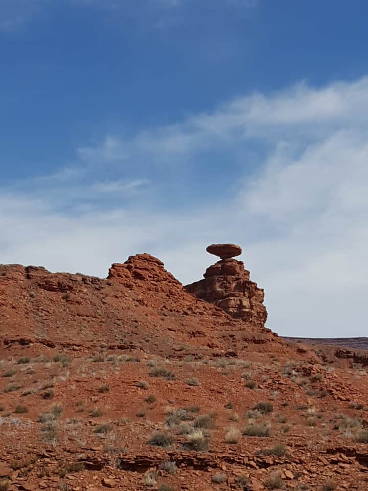
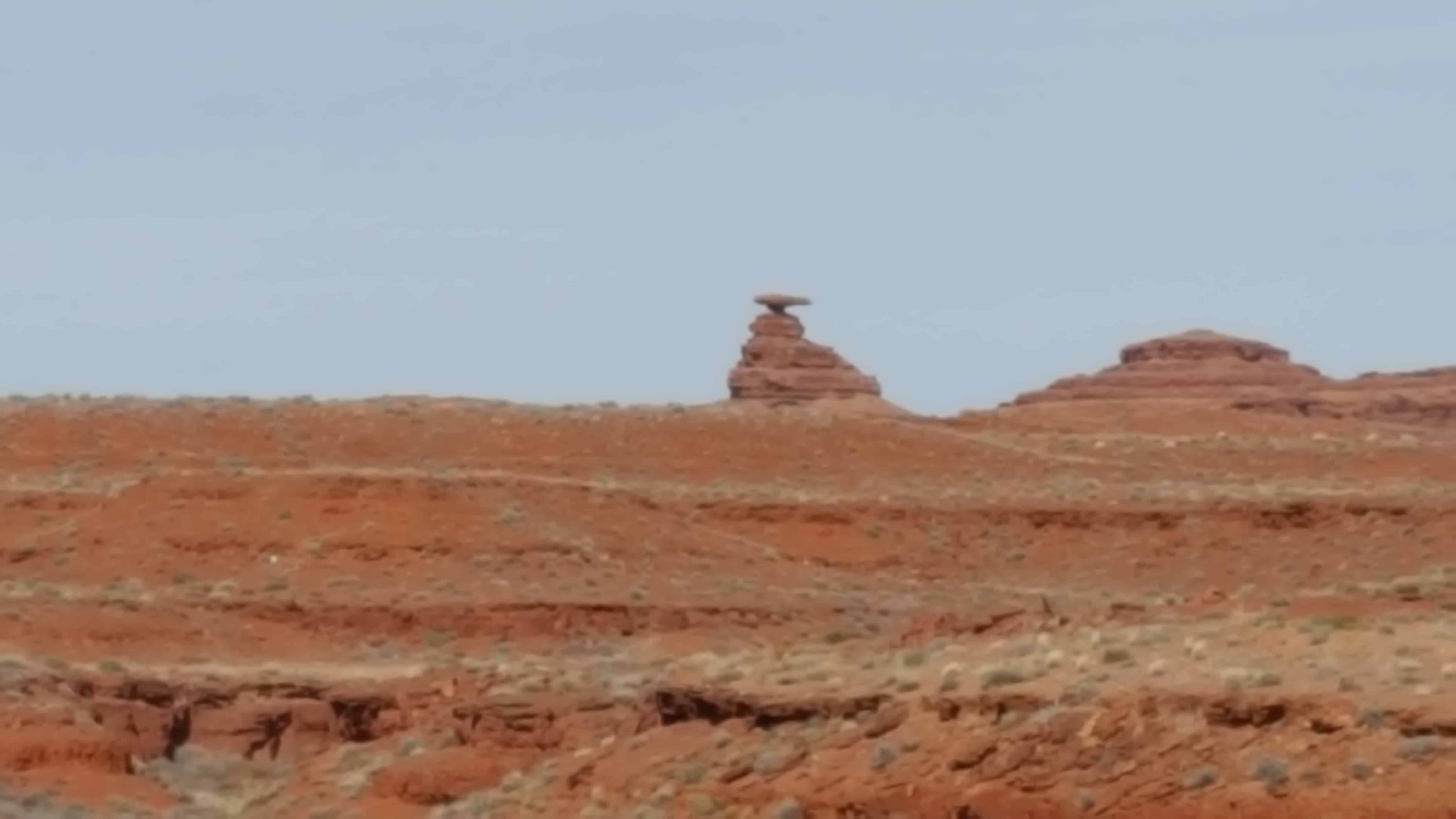
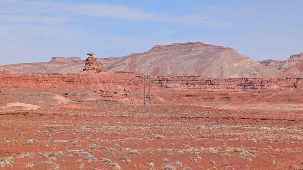
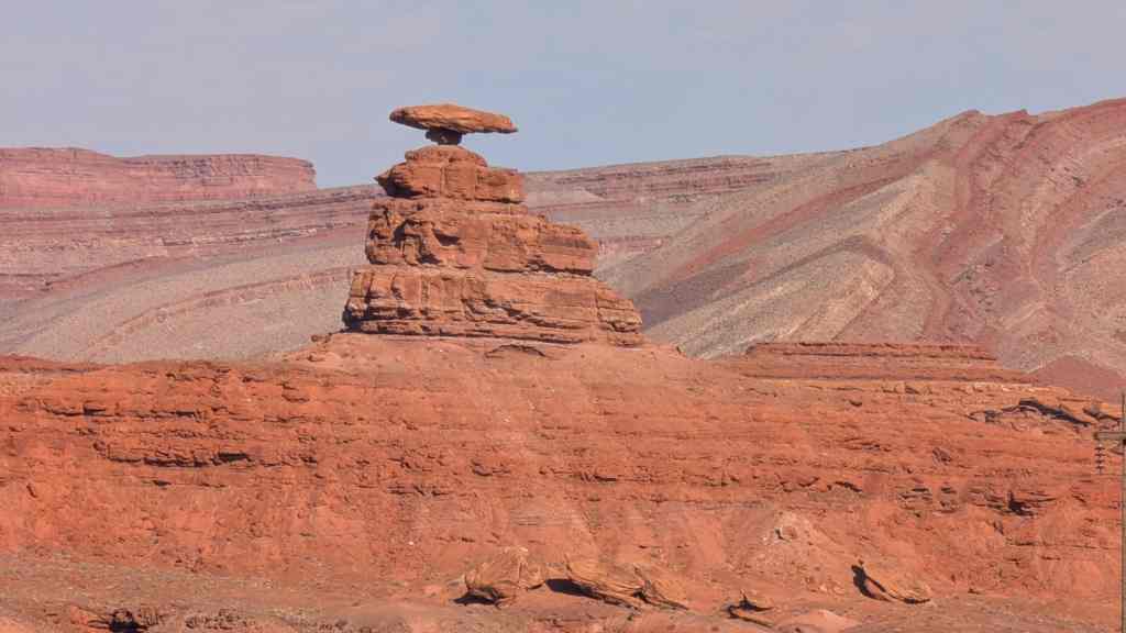
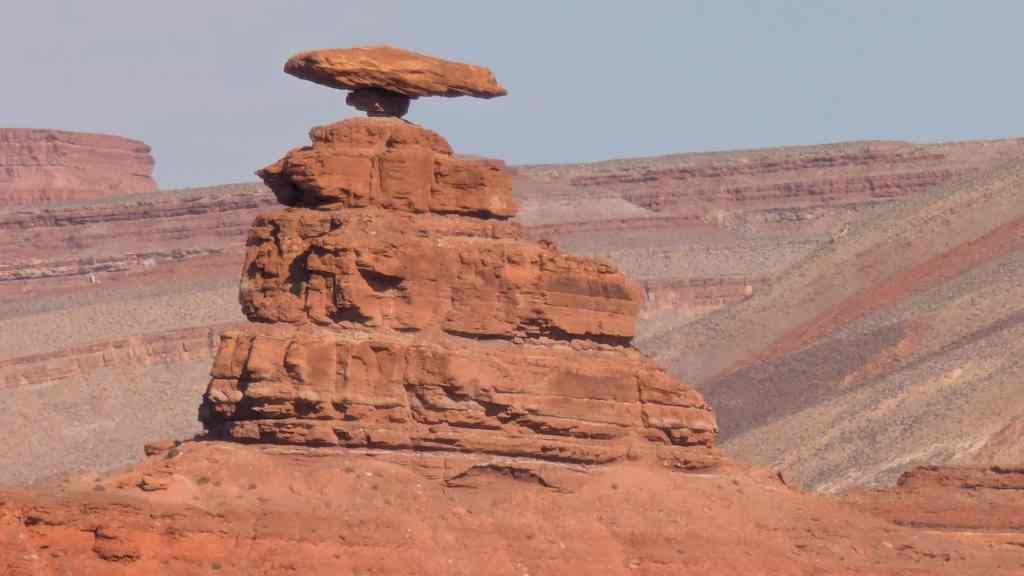
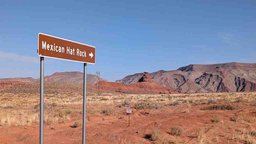
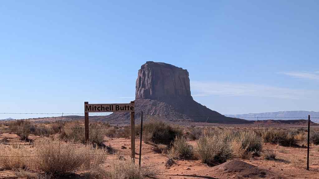
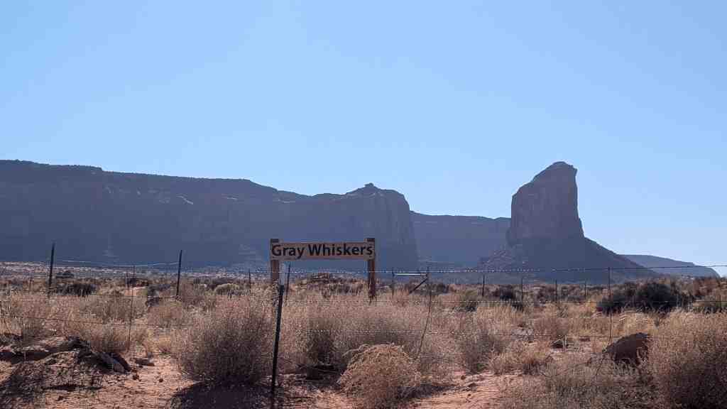
The name “Mexican Hat” comes from a curiously sombrero-shaped, 60-foot wide by 12-foot thick, rock outcropping on the northeast edge of town. The “Hat”‘ has two rock climbing routes ascending it. It has frequently been noted on lists of unusual place names.