Tags
Fairview, Geologic, historic, Huntington, Sanpete County, utah

The Mammoth Discovery of 8-8-88
Just down this hill you will find the site of one of the most unusual discoveries of a Columbian Mammoth ever unearthed.
This Mammoth died at a record-high elevation (9,000 feet) for the species, which is generally regarded as a plains animal. The age of the Huntington Mammoth was roughly 65 years, (based on comparisons of dental wear in modern elephants), and was one of the last Columbian Mammoths to live in North America.
The mud surrounding the mammoth was barely above freezing, acting as a refrigerator for almost 10,000 years.
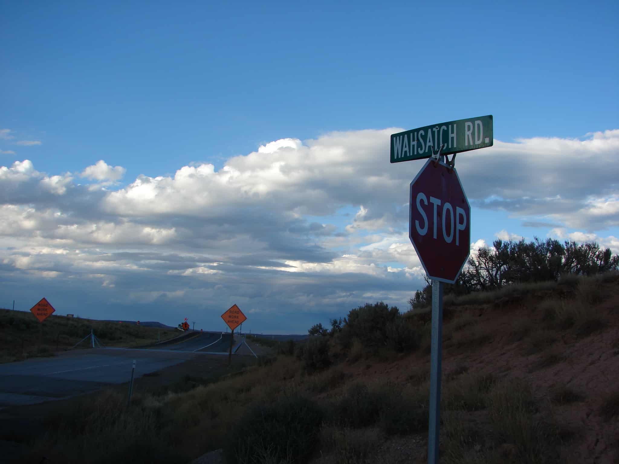
Located at Huntington Reservoir.
By PATSY STODDARD
Editor
A beast who roamed Huntington Canyon 11,000 years ago is still a cause for excitement and interest these many years later. The mammoth was discovered at the Huntington Reservoir in Huntington Canyon on 8-8-88 by Nielson Construction backhoe operator, Chris Nielson.
At first they thought they had dug up an old tree or something, but closer examination revealed the ancient creature. Authorities were notified and an official removal process began.
Visitors again gathered at the site of the mammoth discovery on Friday to dedicate the new kiosk and information center recently constructed at the site. The event brought back many memories of the discovery. The Huntington/Eccles Scenic Byway is a diverse route with magnificent scenery which happens to go past the mammoth discovery site. Jana Abrams is the Energy Loop Byways Coordinator and instrumental in garnering the funds for this mammoth project. She said, “This kiosk is a new visitor attraction. We want visitors to stay a little longer in our communities. We have such a diverse community here along the Energy Loop and Huntington and Eccles Canyons. This byway ties everything together, mining, farming, travel and recreation. This kiosk was made possible with a grant from the Federal Highway division. Bill Broadbear from the US Forest Service worked on the trail down to the kiosk and the slope is ADA accessible. We have had a great partnership with the forest service.”
Abrams pointed out the long process of information gathering and photo gathering of the actual mammoth find to go on the information panels. She appreciates artist Joe Venus for the painted mural which depicts how the area may have looked when the mammoth roamed the country; this painted mural is on one of the panels.
Abrams thanked Dawnette Tuttle from Orangeville for the use of her pictures and the newspaper clippings from the time of the discovery. A second part of the kiosk project has been the installation of low wattage radio antennas which will broadcast information about the area. Information will include: camping info, weather conditions, special activities, etc. This station will be AM 1610.
Abrams introduced the speakers for the program-ribbon cutting ceremony which included: Martha Hayden, Utah Geologic Survey; Don Burge, retired curator for the College of Eastern Utah Prehistoric Museum; Bill Broadbear, Manti-LaSal National Forest Service; Carlos Machado, Federal Highways Administration Utah Division; and Gael Hill, State Scenic Byway coordinator.
Hayden was called to the site of the discovery on Aug. 8, 1988. She worked with Dave Madsen and Dave Gillette in the mammoth removal process. The bones were wrapped in burlap to prevent them from drying out. The bone unearthed by Nielson was a tusk or humerus bone. It was lying on the ground. She said there was great cooperation with Nielson Construction, the forest service and the volunteers at the site. At least 5,000 people visited the site during the time of excavation. She described the find as one of the greatest ice age fossil finds ever as the mammoth was 95 percent complete in its location. A short faced bear was also located at the site. The site had been a bog which was created by a glacier slide and became the mammoth’s resting spot. He was deposited at the end of the ice age and was a very old male, 60-65 years old, at the end of his life. Fur needles were preserved inside his stomach. Which is a poor diet for a mammoth of this size and the mammoth was found to have arthritis.
Burge spoke next saying next August will mark the 20 year anniversary of the mammoth discovery. He said, “The discovery has changed the course of the CEU museum. There have been more than 30 casts made of this mammoth. The South Dakota Mammoth site even has one of our mammoths. There are two in Japan, one in a Los Angeles museum and one in Canada.”
Burge said some of the bones were kept in kiddie pools around the museum to keep them from drying out. There were arguments at first of who owned the mammoth. Who did he belong to? The CEU museum became accredited so it could serve as a repository for the mammoth bones. Burge said the so called experts originally identified the beast as a mastodon and he was glad to point out to them the real identity of the creature. A mammoth has teeth similar to elephant teeth and mastodon teeth are more like human molars. A mammoth cast is at the CEU museum and the original mammoth skeleton is there and available for public viewing. It is stored in a conservation lab where the relative humidity is kept at 30 percent and the room temperature 68 degrees. Burge said that’s hard to do here where the air is so dry. “We did more things right than wrong and the bones are still in good condition,” said Burge.
Broadbear said one day during the discovery period a reporter from the New York Times showed up and wanted to do a story about the mammoth. Interest in the mammoth discovery went worldwide. Broadbear said he is impressed with the kiosk and the informative panels to tell the story of the discovery so visitors to the site come away with an appreciation of the site and the mammoth.
Machado said he works with the scenic byways to help them with grants to do projects. He enjoys these partnerships and the work they do to be good stewards of the natural resources. He believes the scenic byways are the heart and soul of America. He described scenic byways as an extensive collection of special places. He is working to bring additional funds to Utah for projects. “I have never been here before and am surprised with the scenic views.” The Utah Division since 1992, has had $7.3 million procured for 84 projects.
Hill rounded out the program with her description of the scenic byways program. “The byways connect our country. Utah has better byways than many states.” She is proud of the mammoth project and the Scenic highway 89 project from Manti to Kanab.
Abrams encouraged tourists to visit the mammoth kiosks and enjoy the discovery of the mammoth.
Wayne Nielson from Nielson Construction said they were working on a new dam at the time of the discovery. The old dam had begun to leak and was being replaced. His cousin Chris Nielson was excavating when he brought up a bone, it was 50-60 feet down, kind of in a bowl area. The bog area acted as a refrigerator for the skeleton and the cool mud kept it preserved for approximately 11,000 years.
The mammoth and its story will continue to be an asset to the Castle Valley region as its notoriety extends worldwide.
*********************
This is at the site of a discovery very important to helping us understand the Ice Age period. This post focuses on how the earth can preserve bones, plant life, and even whole forests for thousands of years only to be discovered later and teach us of the past. Long ago this land was much different, what was it like?
The Ice Age is also known as the Pleistocene Epoch, which lasted from about 2 million to 10,000 years ago, and was a period of recurring widespread glaciations. Ice ages have actually occurred periodically throughout the history of the Earth. The Pleistocene is the most recent of these ice ages.
Glaciers covered most of the high mountains of Utah periodically during the Ice Age.
Lake Bonneville, a large fresh-water lake, covered most of western Utah from 30,000 to 12,000 years ago. The Great Salt Lake is the remnant of this Ice Age lake.
The animals that lived in Utah during the Ice Age included many of the same animals that we find here today, as well as many extinct forms such as mammoths, mastodons, ground sloths, and saber-toothed cats.
Many of the extinct Pleistocene animals were very large and have living relatives who are usually much smaller. These large, extinct animals are referred to as the “Pleistocene Megafauna”. They became extinct at the end of the Ice Age, about 10,000 years ago.
Mammoths and Mastodons are two types of elephants that lived in Utah during the Ice Age. They differ in the shape and function of their teeth and in the shape of other bones, including the skull. They are related to modern elephants that live in Africa and Asia.
Gravel quarries along the Wasatch Front contain the bones of many Ice Age animals. These gravels were deltaic deposits formed in Lake Bonneville. The animals that roamed the shores of Lake Bonneville included big-horn sheep (Ovis), horses (Equus), and bison (Bison), whose living relatives are found in Utah today, as well as animals such as musk oxen (Bootherium bombifrons), camels (Camelops hesternus), and giant ground sloths (Megalonyx jeffersoni), who have living relatives in other parts of the world.
Early in the Tertiary Period, not long after dinosaurs became extinct, mammals began a long and colorful evolution in North and South America. By late Tertiary time, two million years ago, our continent was occupied by camels, mastodons, horses, ground sloths, armadillos, saber tooth cats, giant wolves, giant beavers, giant bears, and many other exotic animals. The landscape from a distance looked more like today’s Africa than modern North America.
By the late Tertiary, glacial conditions in high latitudes intensified. Enormous quantities of water were bound up by the glaciers, and sea levels fluctuated with each shortlived glacial episode.
About 1,600,000 years ago, the first mammoths emigrated to North America from Asia during one of the low stands of sea level. That event marks the arbitrarily defined beginning of the Pleistocene Epoch of the Quaternary Period. The Ice Age was in full swing.
Glaciation
Mammoths evolved for more than 1.5 million years in North America, adjusting to the fluctuating conditions of the Ice Age. With each cycle of glaciation and deglaciation, habitats were disrupted first, then stabilized, and then disrupted again with renewed glaciation.
Each time the glaciers formed, they coalesced into enormous sheets of ice over central and eastern Canada, eventually pushing southward. These ice sheets, or continental glaciers, were as thick as two miles. They often moved so rapidly that they crushed standing forests.
Climatic Fluctuation
Climatic effects during the Ice Age became drastic by the end of the Pleistocene. Populations of animals and plants that lived in Canada were pushed southward thousands of miles. Intermountain valleys in the West became home to forests, rather than the deserts we have today. Between glacial episodes, forests retreated to higher elevations and desert vegetation returned, only to be replaced with the next glacial episode.
Especially during the latter part of the Ice Age, animals and plants that lived in northern Utah left a wonderful legacy of their history. With each fluctuation of the climate, some old species returned, and some new ones appeared. Some of those animals have been preserved as fossils in sediments deposited during their existence.
The Discovery of an Ice Age Mammoth
New discoveries of fossil vertebrates in northern Utah include several of the extinct megafauna. A nearly complete skeleton of the Colombian mammoth, preserved perfectly, was discovered here in 1988.