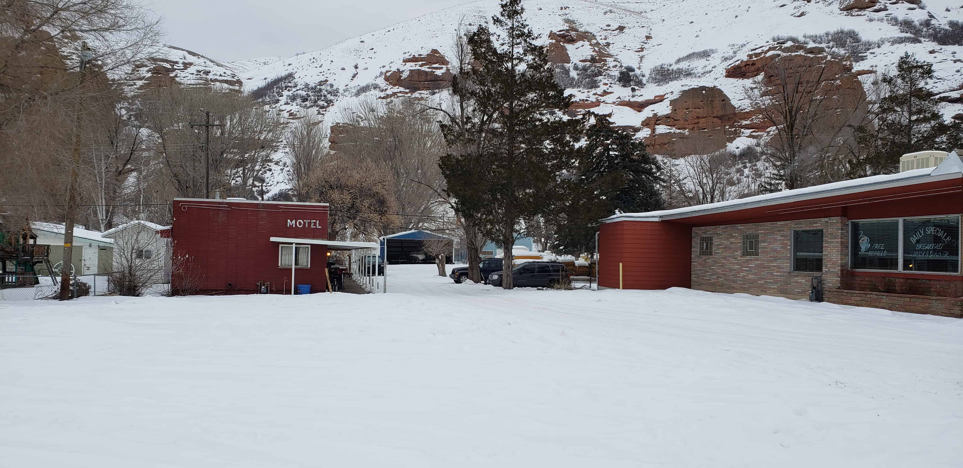
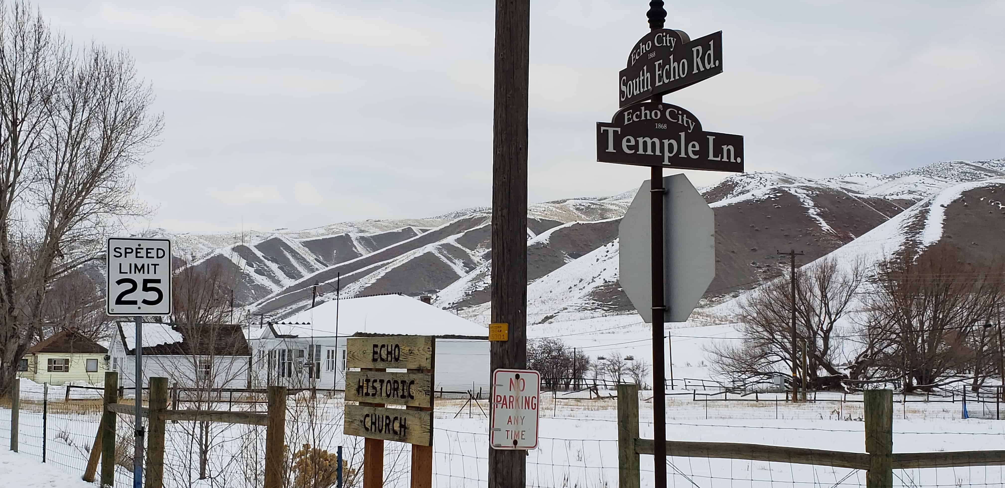
Gilmer and Salisbury Overland Stage Company
The town of Hatton was settled in 1854 on the old immigrant trail leading to southern California. This site identifies one of the stops the Gilmer and Salisbury Overland Stage made on the way from Salt Lake City, Utah to Pioche, Nevada, and on to the coast. Jack Gilmer and Monroe Salisbury purchased the Utah line of Wells, Fargo & Co. and renamed it. By 1880 they became one of the most powerful corporations in the West.
Two spans of horses pulled the heavy stage to the Hatton “Home Station” operated by William George. Frederick M. Bird, Sr. was the caretaker for the horses, and Orson Whitaker was one of the first drivers. They would ready the fresh horses at the sound of a bugle, blown when the stage was within one mile. Refreshments for passengers were provided at the Bird home.
Farming was the main occupation for the settlers, and the stage line provided additional revenue. John Ormond had a store beside the station that sold merchandise, including candy that his wife made. George Hickerson had a thriving business selling feed, hay, and grain to immigrants traveling to California.
Peter Robison, one of the first settlers, originally named the town Corn Creek. When he became postmaster, the town was renamed Petersburg. A few years later, Richard Hatton became postmaster, and the town was named Hatton.
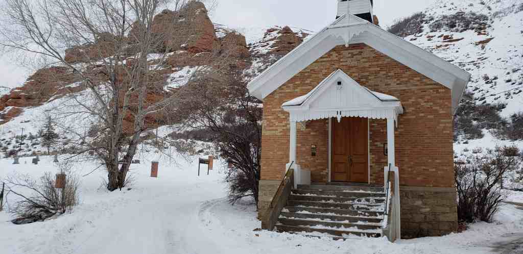
As the town grew, Cornelia Robison taught school in the Robison home. Later Henry Young and William Dameron were teachers. A building was erected in 1867 that served as a school and a church meeting place.
Brigham Young, President of The Church of Jesus Christ of Latter-day Saints, advised the settlers in 1867 to move farther up Corn Creek to conserve water, utilize more fertile soil, and avoid early frosts. Several families heeded his advice, but some stayed. After the railroad came, the stage line was sold and business declined. In a few years, Hatton was almost deserted.

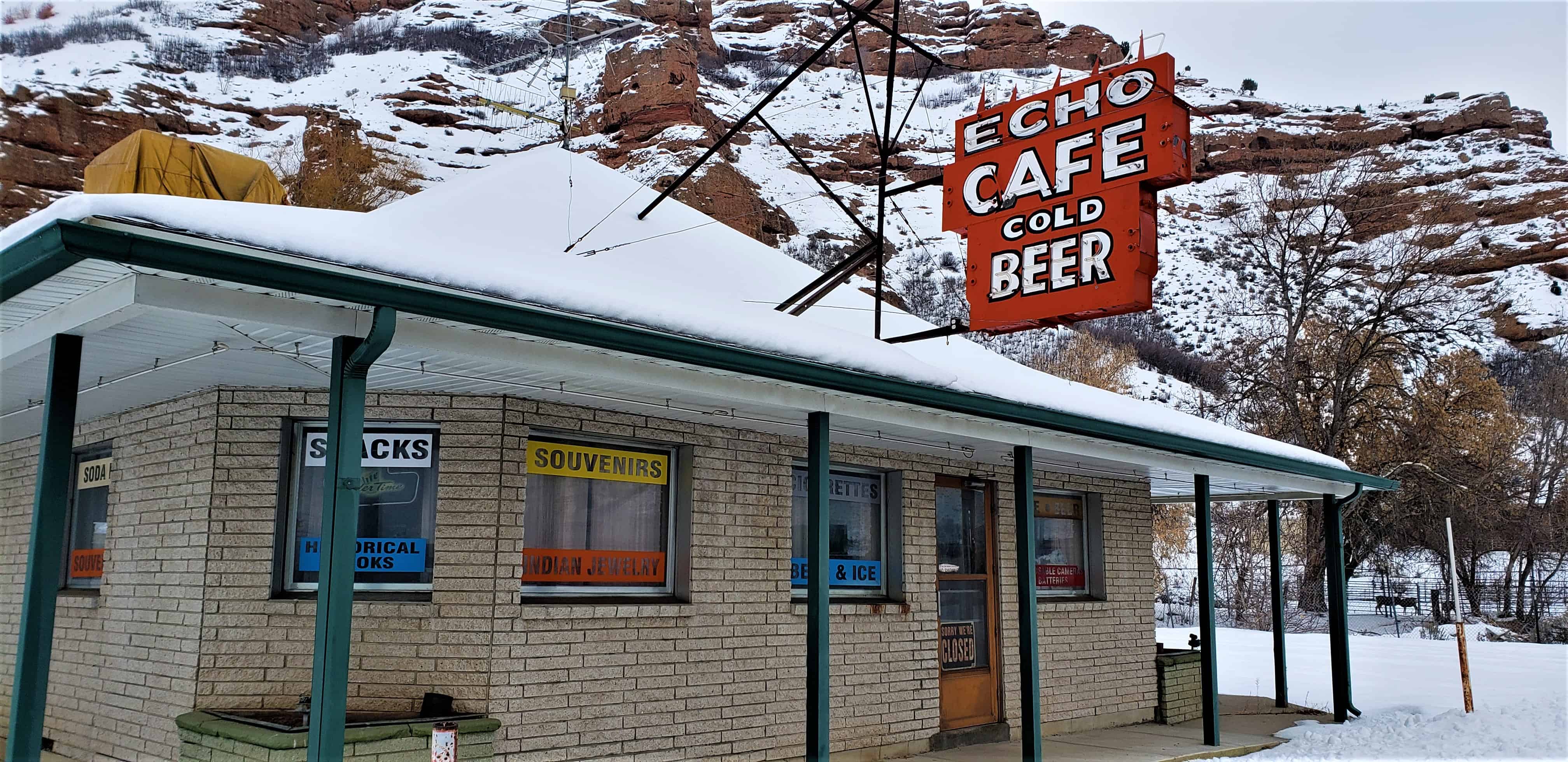
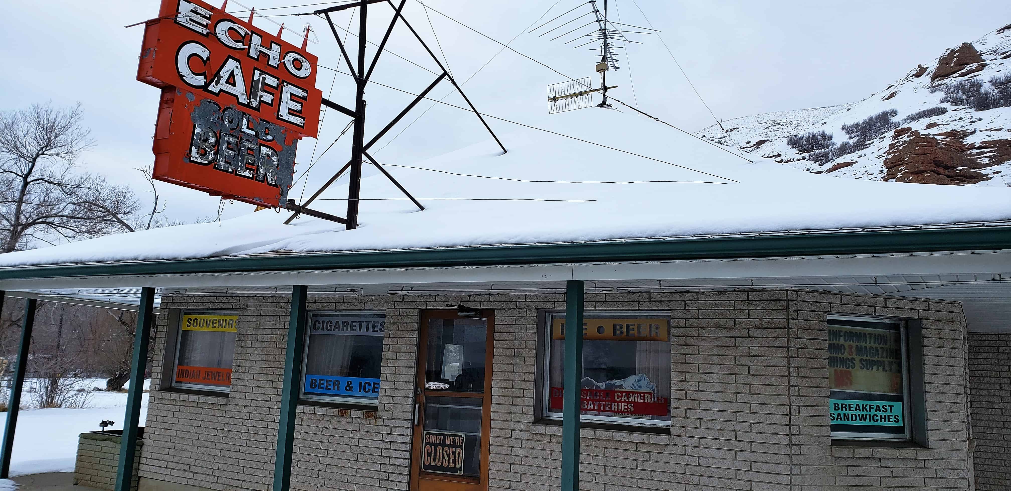
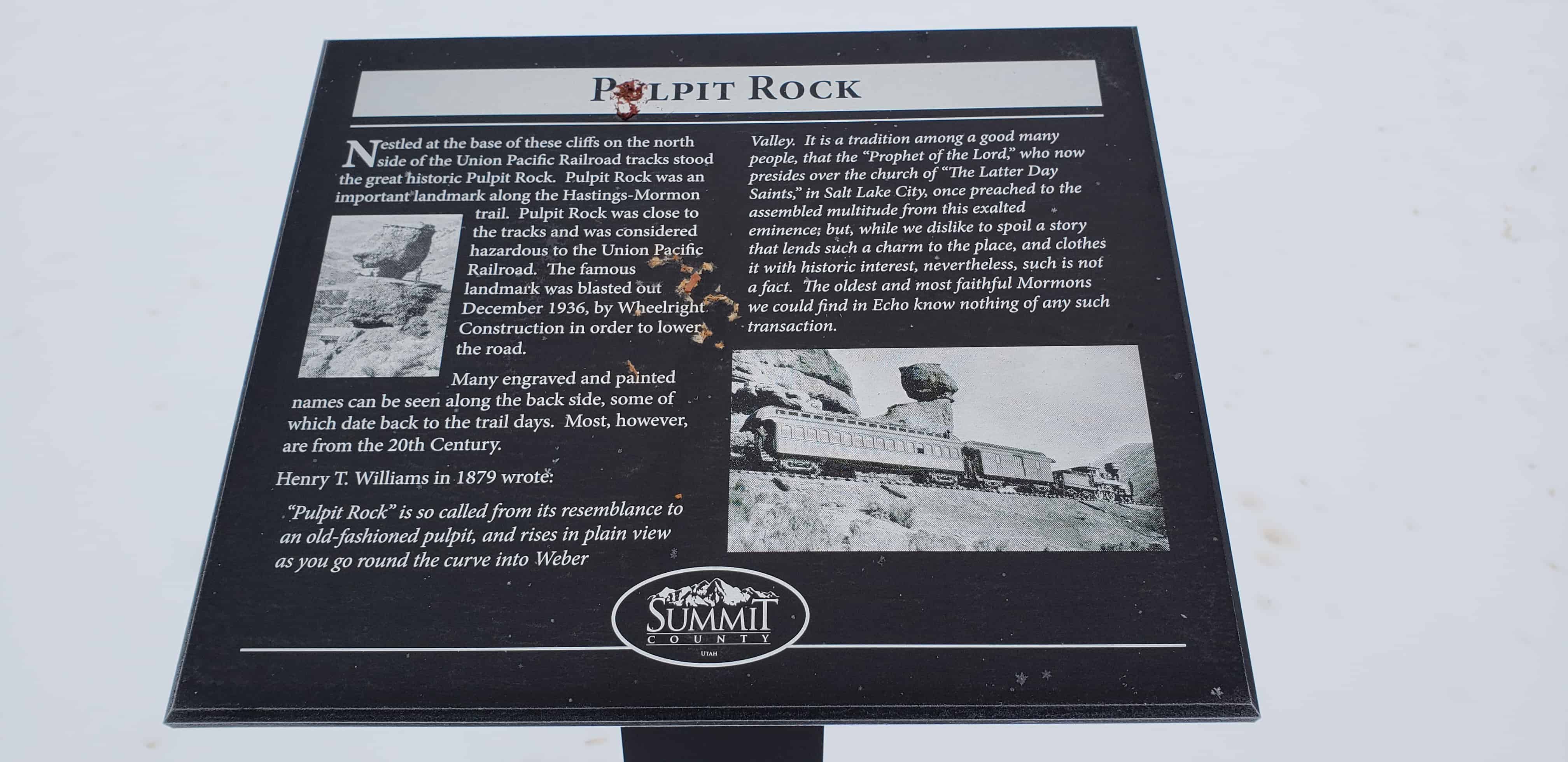
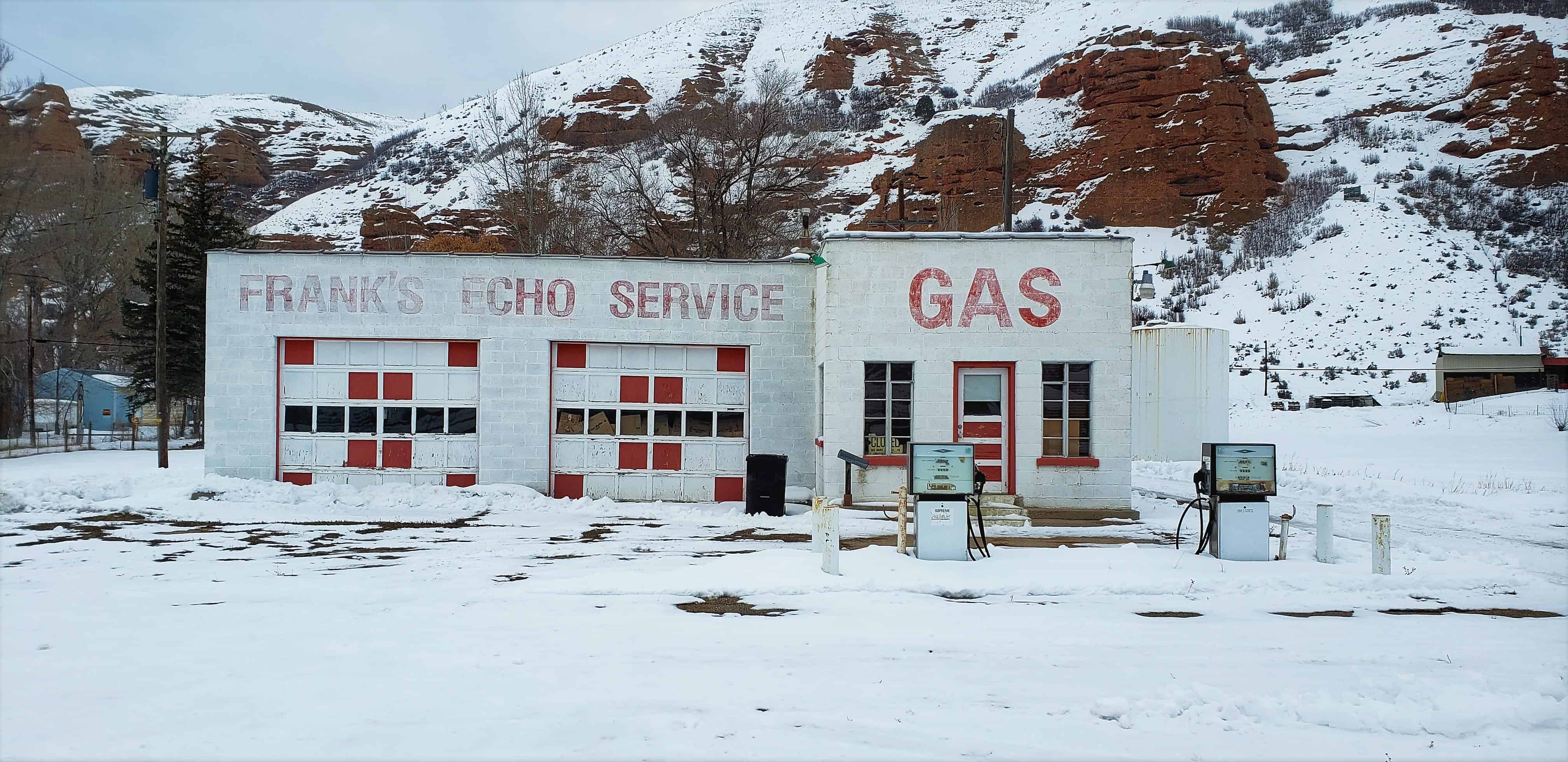
Check out all of the historic markers placed by the Daughters of Utah Pioneers at JacobBarlow.com/dup