• About JacobBarlow.com
  • Cemeteries in Utah
  • D.U.P. Markers
  • Doors
  • Exploring Utah Email List
  • Geocaching
  • Historic Marker Map
  • Links
  • Movie/TV Show Filming Locations
  • Oldest in Utah
  • Other Travels
  • Photos Then and Now
  • S.U.P. Markers
  • U.P.T.L.A. Markers
  • Utah Cities and Places.
  • Utah Homes for Sale
  • Utah Treasure Hunt

JacobBarlow.com

~ Exploring with Jacob Barlow

JacobBarlow.com

Tag Archives: Clark County

Old Hospital / LDS Moapa Stake Office Building

15 Monday Aug 2022

Posted by Jacob Barlow in Uncategorized

≈ Leave a comment

Tags

Clark County, Historic Buildings, Hospitals, Nevada, NRHP, Overton

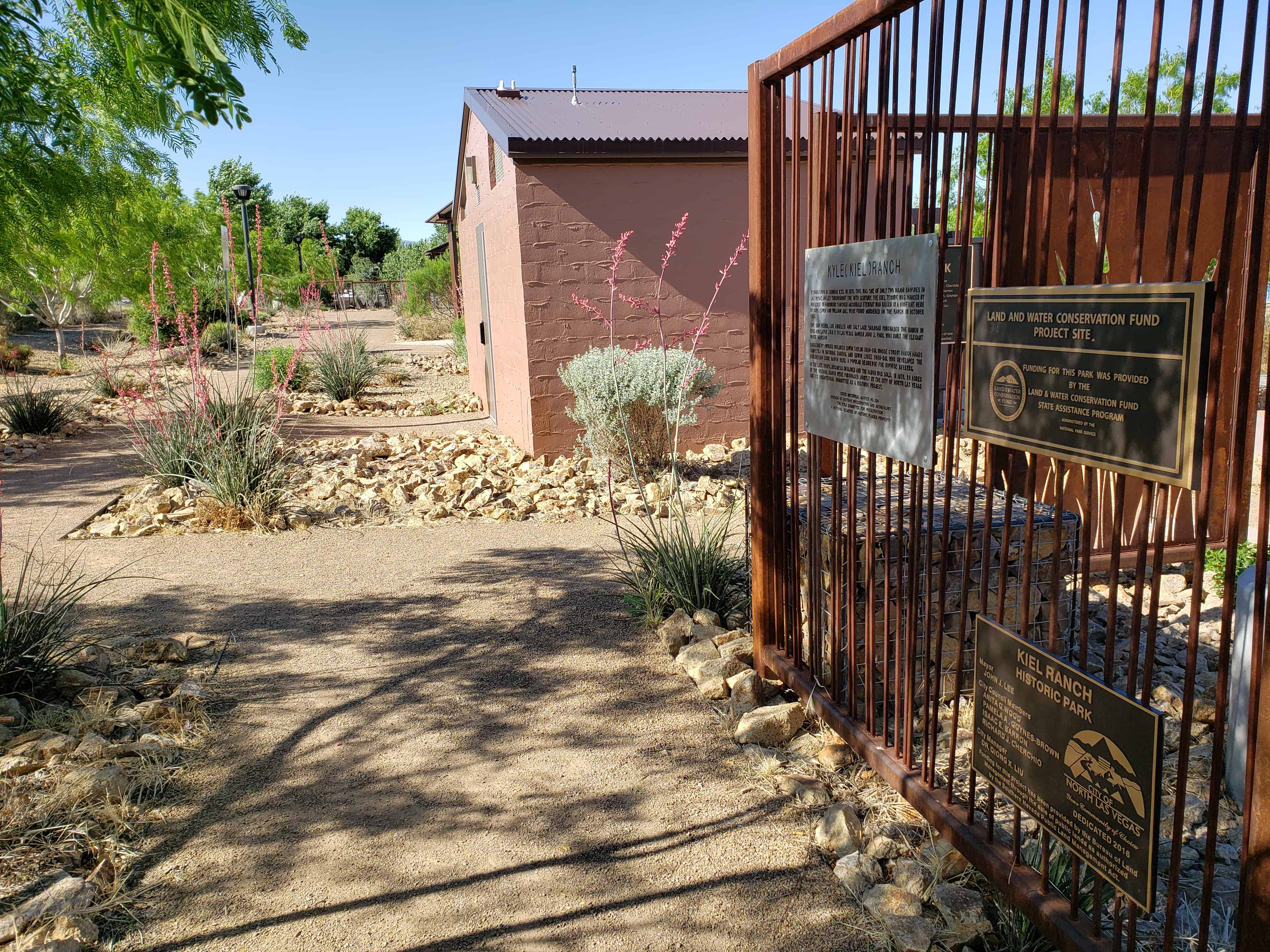
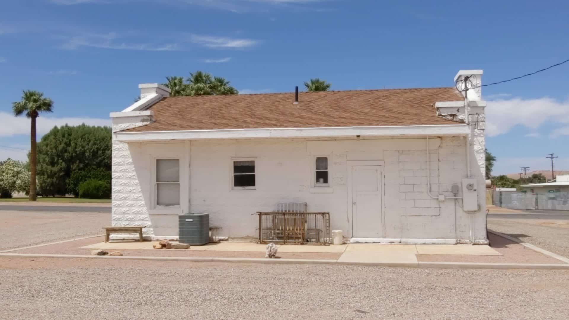
LDS Moapa Stake Office Building / Old Hospital

The LDS Moapa Stake Office Building began as the Virmoa Maternity Hospital in 1941, it is located at 159 W Virginia in Overton, Nevada and was added to the National Register of Historic Places (#02000819) on July 25, 2002.

Also located here is D.U.P. historic marker #385 and behind this building is the bishops storehouse.

From the national register’s nomination form:

The LDS Moapa Stake Office Building/Virmoa Hospital is eligible for the National Register of Historic Places as representative of population growth in the Moapa Valley based on a flourishing agricultural community, and of the continuous influence of the LDS Church in southern Nevada and the western Great Basin. The Church of Jesus Christ of Latter-day Saints (LDS or Mormons) built the LDS Moapa Stake Office Building to serve as an administrative center for church leaders. The term “stake” refers to a stake in the tent of Zion, a biblical connotation of the promised land. As an administrative unit, a stake oversees several wards or geographical groupings of church members with their own meeting centers. From 1919 until 1939, the LDS Moapa Stake Office Building served as a meeting place for church officials, a place to organize welfare work within the community, and for genealogy classes. In 1941, the building was converted into the Virmoa Maternity Hospital to serve the residents of Overton, Logandale, Moapa, and smaller outlying communities.

The LDS Moapa Stake Office Building must be evaluated under Criteria Consideration A: Religious Properties. Although the building served the Mormon Church as an administrative center, its association with the Mormon community in the Moapa Valley transcends mere religious significance. The role of Mormon settlement in southern Nevada cannot go unacknowledged simply because the Mormons came to be there as a result of their religious beliefs. The Mormon presence in southern Nevada is important to the broader history of exploration, settlement, and agricultural practices in the arid Southwest. The Moapa Stake Office Building also represents a rare example of an early Mormon administrative building. A single stake might cover a number of wards, with families spread over vast stretches of agricultural lands. The LDS Moapa Stake Office Building exemplifies the Mormon presence in the Moapa Valley.

Moapa Valley

Moapa Valley is in the southeastern part of Clark County in Southern Nevada. Rising out of springs in the Pahranagat Valley, the 30-mile long Muddy River flows through Moapa Valley to the Virgin River to the north. The Muddy River is virtually the only source of water from the Beaver Dam Mountains in Utah to Vegas Springs in today’s Las Vegas. Summers in the region are unbearably hot, with little relief over night. As inhospitable as the region seems, with irrigation the valley is extraordinarily fertile. American Indians practiced irrigated agriculture in the valley, raising corn, squash, beans, and cotton, from perhaps 1000 BC to 800 A.D. (Elliott and Rowley 1987). Pueblo Grande de Nevada contained a population from 10,000 to 20,000 thousand people. During the third phase of activity known as the Lost City, dating from 700 A.D. to 1100 A.D., agriculture, likely with irrigation, thrived (Elliott and Rowley 1987). These prehistoric activities became known when Moapa Valley received national acclaim with the archeological excavations conducted from 1924 through 1938 in anticipation of the flooding of Lake Mead. As result of this work the Lost City Museum was built in Overton.

Mormon Settlement in Moapa Valley

The Mormons began their westward trek in 1847, choosing to settle in Utah’s Great Salt Lake Valley. The region fit their needs because of its distance from other population centers and because it fit the biblical description of the “Zion of the last days.” Conditions in Great Salt Lake Valley were difficult, but the Mormons persevered through a program of building, planting, and purchasing supplies from Gentiles (non-Mormons) at nearby Fort Bridger. Although some Mormons moved on to the California gold fields or to more populated areas, most remained in Great Salt Lake Valley under the direction of their leader, Brigham Young (Kimball 1987:292).

The Mormons clearly possessed characteristics that allowed them to succeed under extreme conditions, and that would serve them when they arrived in the Muddy River Valley some 20 years hence. Historian Leonard Arrington noted seven principles that guided early Mormon settlements. (1) Gathering the coming together of faithful at selected gathering places (Zions) to prepare for the Second Coming. (2) The Mormon Village the settlement of the gathered people in villages built according to the Plat of Zion, which divided the land into three sections: Village lots, farming lots, and pasturage. (3) Property as Stewardship all property was consecrated to the church for the benefit of the Kingdom. (4) Redeeming the Earth through the development of local resources. (5) Frugality and Economic Independence by achieving total self-sufficiency. (6) Unity and Cooperation, and (7) Equality (Kimball 1987:292-293).

These principles guided the development of the original Mormon settlement in the Great Salt Lake Valley and as they spread into other valleys. A group of Mormon settlers established a mission at Vegas Springs in 1855, but abandoned it in 1857, when Brigham Young called them back to Salt Lake in fear of military reprisals by the U.S. Army. The military action never came to pass and a second Mormon expansion phase began in the 1860s. It was during this second phase that Mormons brought their established ideals to the Muddy River Valley. At the direction of Brigham Young, the first group of Mormon missionaries, led by Thomas Smith, arrived on January 1, 1865, at the confluence of the Muddy and Virgin Rivers. The group established a community they called St. Thomas, after their leader and guide. In June of that year, a second missionary group arrived in the region and set up a second community nine miles north of St. Thomas, which they named St. Joseph. There soon came to be numerous southern Nevada colonies. In addition to St. Thomas and St. Joseph, there were Callville, West Point, Kaolin, Overton, Bunkerville, and Mesquite, all part of a line of settled valleys that stretched from Rexburg, Idaho to southern Nevada (Kimball 1987).

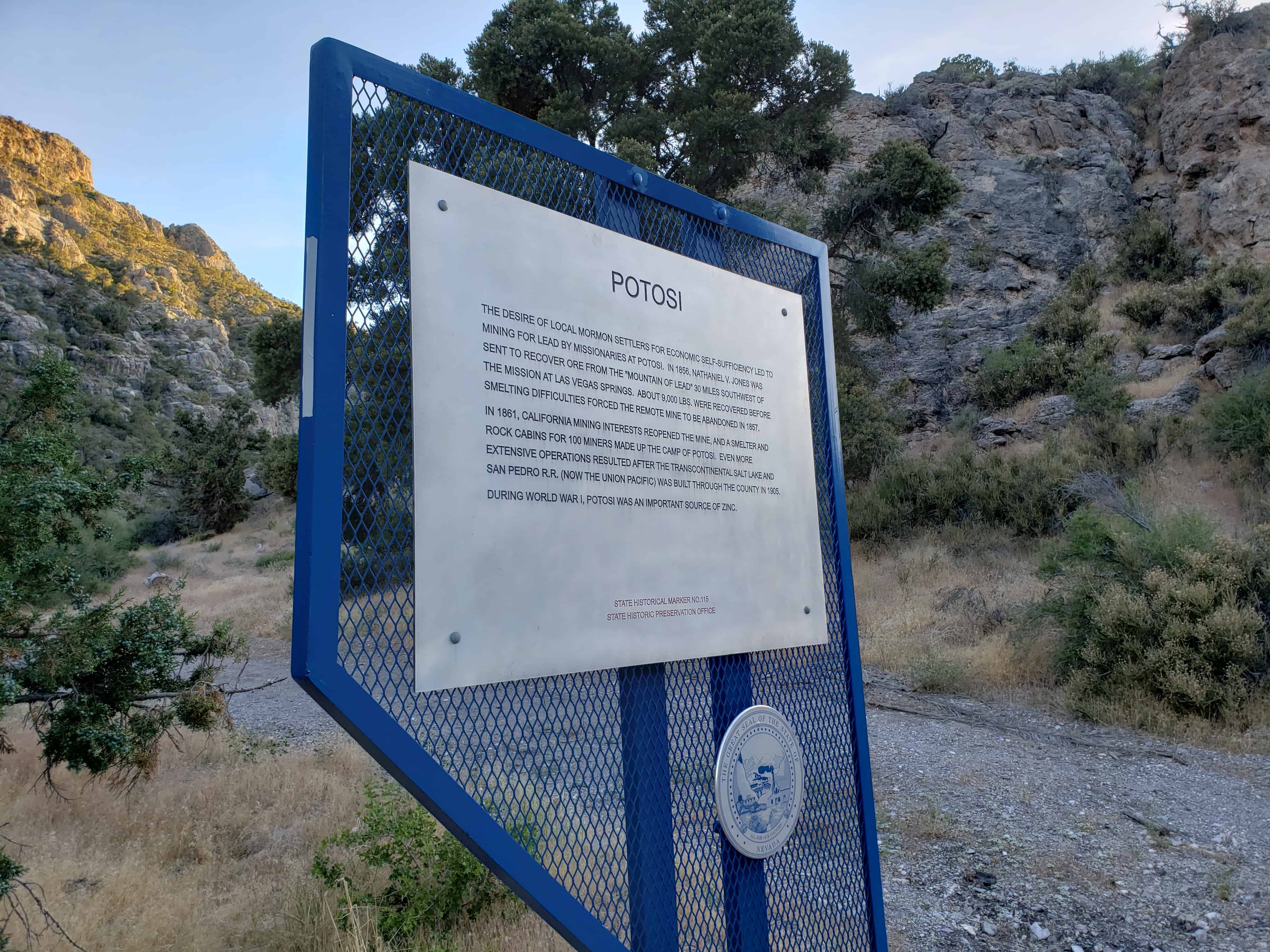
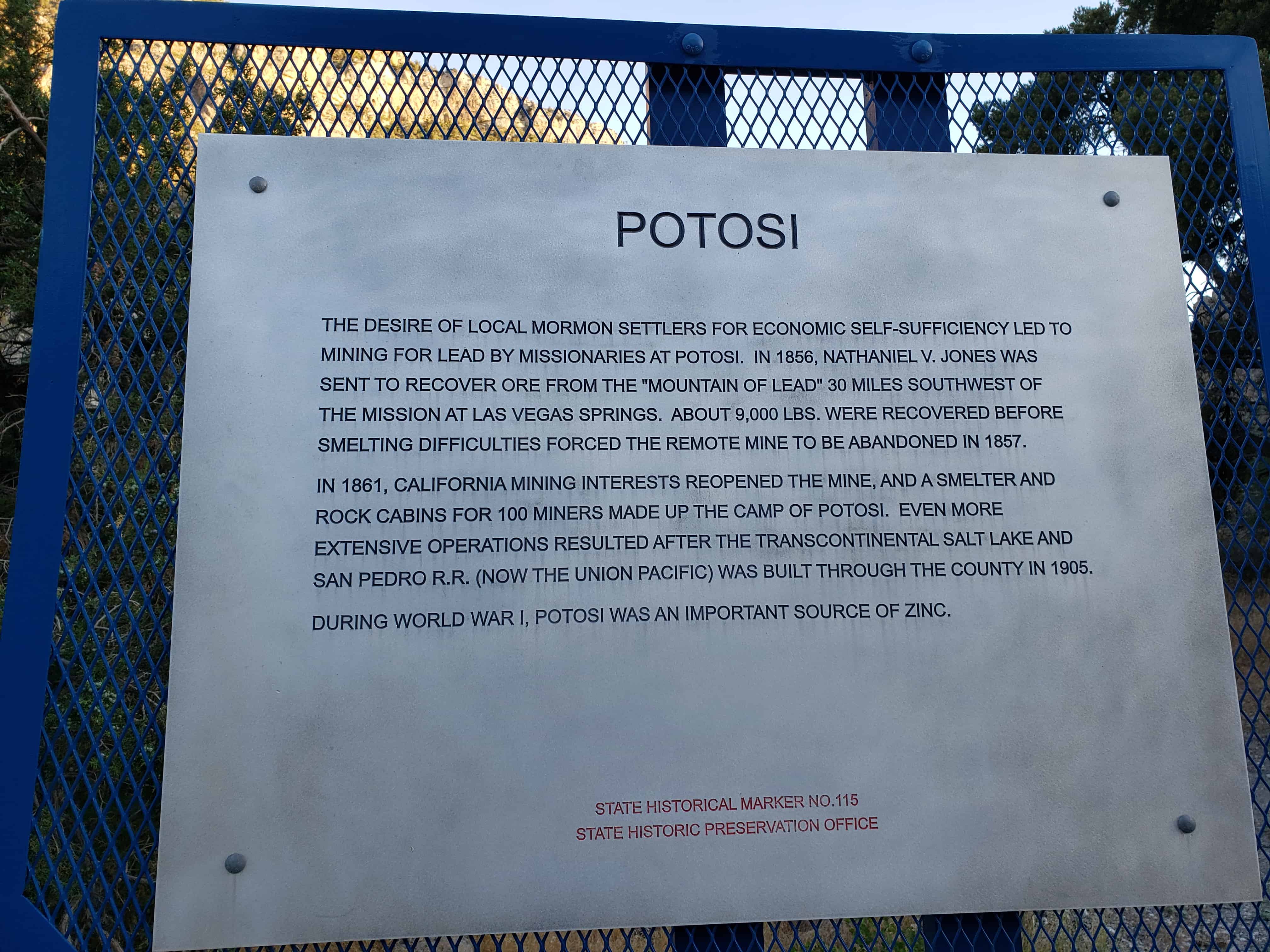
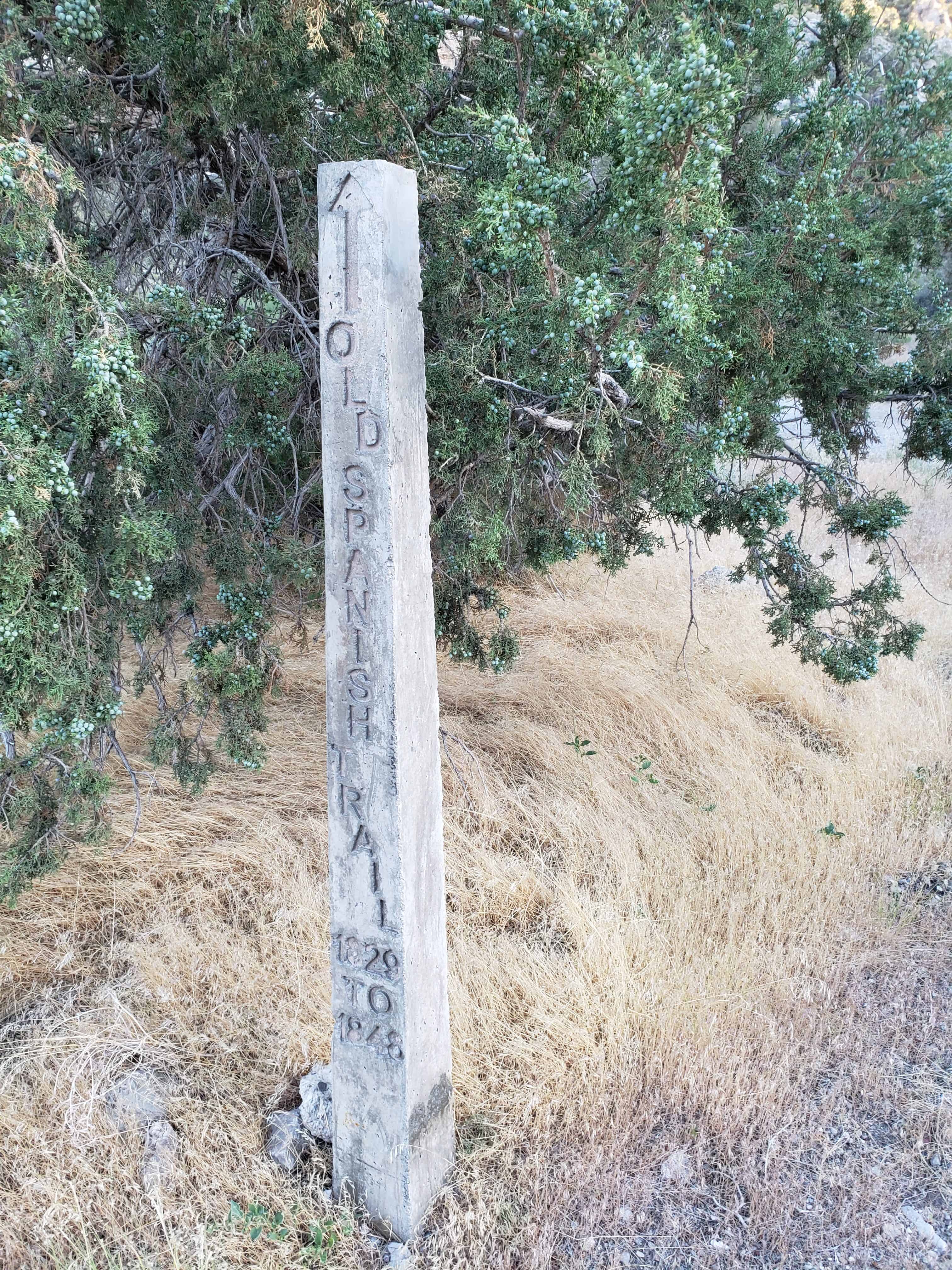
The purpose of the Muddy Mission, following the seven principles mentioned above, was to grow cotton and other semi-tropical products, to convert the Indians to Christianity, and as a stopover for travel and trade on the Colorado River and for California-bound travelers on the Old Spanish Trail, also known as the Mormon Road. The other purpose was to “secure land from the invasion of Gentile miners and cattlemen . . .” (Kimball 1987:293). Ultimately, more than 100 settlers occupied the lands of the Muddy River Valley, growing cotton, wheat, corn, melons, sunflowers, peach trees, grapes, pumpkins, and general garden vegetables. They also raised livestock, including cattle, mules, goats, chickens, ducks, geese, and sheep. Their success is a testament to their devotion to the tenets of their church and to Arrington’s seven principles (Kimball 1987:295).

Conditions were difficult along southern Nevada’s Muddy River. Isolation from markets and needed supplies, along with malaria and high temperatures, drove some settlers away. According to the 1870 U.S. census, 750 people lived in the region. That same year, however, the boundaries of Nevada and Utah were surveyed and it was discovered that the lands of the Muddy Mission were in Nevada, not Utah as originally thought. Nevada demanded payment of back taxes in gold coin, a debt the Mormons were unable to pay. Brigham Young gave the Mormons at Muddy Mission permission to leave Nevada. All but one family relocated in 1871. As was the case with other abandoned Mormon settlements, Gentiles quickly moved in and took over the farmlands and homes left behind. Ten years later, Mormons come back to the Muddy River Valley. They bought property and re-established the communities of Overton, St. Thomas, 1 and St. Joseph, which was re-named Logandale (Corbett 1975).

Heretofore, farming and ranching flourished in Nevada because it served the mining booms. But when the Comstock mines had played out in 1880s, half the state’s population moved to better job opportunities elsewhere. Nevada had fitful starts with Progressive legislation in developing irrigation projects as a means to stimulate the state’s economy from economic depression. In 1889, the Nevada legislature recognized public ownership of unappropriated water of natural springs and allowed it to be used by builders of irrigation projects (Elliott and Rowley 1987). The National Reclamation Act was passed in 1902, but the foremost national project in Nevada was the Newlands Irrigation Project in northern Nevada’s Lahontan Valley.

The Muddy Valley Irrigation Company, formed in 1895, managed water rights along the Muddy River. Levi Syphus, Overton resident and Nevada state senator, wrote the bylaws and operating system for the irrigation company. Water users dug ditches and canals and quit-claimed their water rights to the company in exchange for a water certificate. By 1914, a modern irrigation system was installed and in the mid-1930s a Civilian Conservation Corps project built a dam on Muddy River to control flooding. Syphus helped write Nevada State Water Law, and he later was appointed by the Bureau of Reclamation to a three-man commission to appraise deeded lands excepting mining property lying under the 1150 contour. These lands were subject to condemnation because of the rising the waters of Lake Mead resulting from the construction of Hoover Dam. Syphus was well-liked in Moapa Valley and had influential friends around the state. He had been encouraged to run for governor by State Democratic Party leaders but declined because his religious association with the LDS Church and the fact that he was unmarried. Syphus knew these factors would hurt him in election (Hafner 1967).

The onset of World War I further spurred agriculture in Nevada. Congressional appropriations allowed farmers and ranchers to increase their herds and flocks and promoted the use of irrigated lands as well as much submarginal land. Moapa Valley farms and ranches flourished, producing a wide assortment of fruits and vegetables including sugar beets and nationally-renown variety of cantaloupe. For ten years, beginning in 1920, Norman Shurtliff produced the famous Shurtliff Dollar Box of vegetables. Each package contained lettuce, radishes, green onions, spinach or beet greens, asparagus, carrots, parsley, and a flower, either a rose or sweet peas. Other farmers raised turkeys, hogs and chicken for the Utah, California, and Las Vegas markets (Hafner 1967).

The importance of Mormon agricultural history, which stretched from upstate New York to Navou, Illinois and across to the Great Basin, cannot be overstated. “While Mormonism is not synonymous with agrarianism . . . there has been a historical, if not doctrinal association between Latter-day Saints and agriculture. Mormons continue to maintain a reverence for the biblical image of sower going forth to sow”(Arrington and Bitton 1979). Historian James Hulse (1991) observes, “The history of Nevada is closely intertwined with the story of the Mormons’ westward trek and their settlement in Utah, and Nevada’s social and political life has been much influenced by Mormonism in recent years.”

The LDS Moapa Stake Office Building

When the Moapa Valley was resettled by Mormons in 1880, Overton became the main settlement due to its central location. In 1881, Overton became a branch ward and soon thereafter a ward, under Bishop Isiah Cox, Sr. Following the completion of the railroad between Salt Lake City and Los Angeles in 1905, and a branch line from the town of Moapa to St. Thomas in 1912, the St. George Stake was divided and a new stake was established to include two Nevada counties, Lincoln and Clark. Stake presidency was awarded to Overton resident, Willard L. Jones. As the southern Nevada Mormon center, Overton grew.

By 1917, church leaders recognized the need for a building where Stake officers and the High Council could meet and the activities of the community could be conducted (Anonymous n.d.).

Construction of the building began in 1917, under the direction of Stake president, Willard Jones. Completion took two years and was marked by the dedication ceremony on November 8, 1919. The Moapa Stake Office Building was the first LDS building within the boundaries of the Moapa Stake. Church services were held in school buildings until the Overton Chapel was built in 1950 (Anonymous n.d.). The Moapa Stake High Council and President used the building as an administrative center and for training sessions in spiritual and secular management. The stake as an umbrella organization oversaw the administration of several wards and was equivalent to a diocese overseeing the operations of several parishes or congregations. Welfare work conducted at the office building included gathering provisions for the needy within the church community and for non-members. A welfare system established by the church grew out of the Great Depression and included the distribution of locally grown food. Franklin Roosevelt commended church officials hoping their work would inspire other groups to establish similar programs (Arrington and Bitton 1979).

In 1939, after 27 years of service, Stake president Jones asked to be released from his duties. By this time, most of the Stake officers lived in Las Vegas. Good roads and new cars allowed for easy travel between Overton and Las Vegas, and it was decided to move Stake administration to the bigger town, thus leaving the little office building without a purpose.

The Virmoa Maternity Hospital

The little office building would not stand vacant long. Southern Nevada Memorial Hospital leased the LDS Moapa Stake Office Building in 1940 to house the first hospital in the Moapa Valley. Willard Jones LDS stake president in Overton and assemblyman in the Nevada legislature, assisted in bringing the branch hospital to Overton. The Virmoa Maternity Hospital opened for business on January 9, 1941. The name is a combination of the words Virgin and Moapa representing the two valleys in the region. Combining two names to form one is a Mormon folk practice. The first baby born at Virmoa Maternity Hospital was Mary Louise Fox, at 10:05 A.M. on January 29, 1941. Over the course of the next 25 years, more than 200 babies were born at the small hospital, including six pairs of twins (Anonymous n.d.).

After World War II, the church had developed a plan to bring hospitals to areas with majority populations of church members. The Latter-day Saints Church Hospital System established seventeen hospitals in Utah, Idaho, and Wyoming2 (Arrington and Bitton 1980). The Virmoa Maternity Hospital was a forerunner of this hospital plan. Before the establishment of the hospital some women traveled either 65 miles to Las Vegas or 75 miles to Saint George, Utah to have their babies. Others gave birth at home or visited the local doctor’s office, which was usually in his home, with the doctor’s wife serving as a nurse assistant (Anonymous n.d.).

When a hospital unit was built in Mesquite, the name of the Moapa building was changed to Emergency Unit of the Southern Nevada Memorial Hospital. An additional room was added to the building for x-ray work. This room has since been removed. The Emergency Unit operated in Overton until 1966, when it was downsized to a once-a-month well-baby clinic. In 1970, after the clinic was moved to another location in town, the Daughters of the Utah Pioneers (DUP) requested permission to use two rooms in the building, and they began a remodel project: “A wall was removed to make a larger room, a cupboard was moved to a smaller room, and repairs were made where needed” (Lyman 1972). LDS Church headquarters in Salt Lake City requested either payment for the building, which had been appraised at $2,000, or a lease agreement. To raise the needed purchase money, the DUP used $1,000 from the sale of their book, One Hundred Years on the Muddy, and $600 that had been donated by the LDS Moapa Stake. Additional book sales, food and rummage sales, and the sale of a “quilt or two” allowed the DUP to purchase the property. Today, the DUP plans to use the building for monthly meetings, and as a museum to house artifacts depicting the days of the pioneers.

Summary

The Moapa Stake Office Building/Virmoa Maternity Hospital stands as a testament to the tenacity, hardwork, and religious principles of the Mormons who settled the Muddy River Valley in the 1860s and to those who returned in 1880 to fully realize the possibilities of the region. The area’s significance was recognized by the church through the presidency of Overton resident Willard Jones, which resulted in the need for the office building. Later, when Stake business moved to Las Vegas, the building fulfilled another mission as the first hospital in the area.

Henderson, Nevada

29 Friday Jul 2022

Posted by Jacob Barlow in Uncategorized

≈ 2 Comments

Tags

Clark County, Henderson, Nevada

Henderson, Nevada

Related:

  • Hillside Letters, Letter B, Letter D, Letter Q
  • Lake Las Vegas
  • Henderson posts sorted by address

The Moapa M

02 Saturday Jul 2022

Posted by Jacob Barlow in Uncategorized

≈ Leave a comment

Tags

Clark County, Hillside Letters, Nevada, Overton

Another in my series of hillside letters, see the others on this page:

  • Hillside Letters

This letter M is above the town Overton, Nevada and is for Moapa Valley High School.

Nevada Test Site

28 Tuesday Jun 2022

Posted by Jacob Barlow in Uncategorized

≈ Leave a comment

Tags

Clark County, Historic Markers, Nevada, Nevada Historic Markers

Nevada Test Site

Tests of devices for defense and for peaceful uses of nuclear explosives have been conducted here since the 1950s. The nation’s principal nuclear explosives testing laboratory was located within this 1,350 square mile, geologically complex area in the isolated valleys of Jackass, Yucca, and Frenchman flats. Selected as the North American test site in 1950, the first test took place on Frenchman Flat in January 1951. Today, the Nevada Test Site is one of the nation’s most important expressions of the Cold War.

Archeological studies of the Nevada Test Site have revealed continuous occupation over the past 9,500 years. Several American Indian cultures are represented. Southern Paiutes were the most recent group to occupy the area.

Related:

  • Nevada Historic Markers

This is Nevada State Historical Marker #165 located on Highway 95 just west of Cactus Springs and Indian Springs.

The Old Spanish Trail – Armijo’s Route

11 Saturday Jun 2022

Posted by Jacob Barlow in Uncategorized

≈ Leave a comment

Tags

Clark County, Nevada, Nevada Historic Markers, Old Spanish Trail, The Old Spanish Trail

The Old Spanish Trail – Armijo’s Route

On January 8, 1830, the first pack train to pass from Santa Fe, New Mexico to Los Angeles crossed Las Vegas Valley. Antonio Armijo, a merchant in Santa Fe, commanded the train and roughly sixty men. The successful completion of the journey opened a trade route between the two Mexican provinces of New Mexico and California.

Following the “longest, crookedest, most arduous pack mule route in the history of America,” Armijo’s party and others brought woolen goods to Los Angeles and returned to Santa Fe driving herds of valuable mules and horses. Later termed the Old Spanish Trail, this route was the principal means of transportation between the two Mexican territories, until the end of the Mexican War in 1848.

This is Nevada State Historical Marker #141, see others on this page:

  • Nevada Historic Markers

Original Homesite of “Pop” Squires

29 Friday Apr 2022

Posted by Jacob Barlow in Uncategorized

≈ Leave a comment

Tags

Clark County, Historic Markers, Las Vegas, Nevada, Nevada Historic Markers, North Las Vegas

Original Homesite of a Las Vegas Pioneer
Charles “Pop” Squires
1865-1958

Charles “Pop” Squires, often referred to as “the Father of Las Vegas,” lived at this location, with his wife Delphine, from 1931 until his death in 1958.

Squires first arrived in the Las Vegas Valley in February 1905. He and his partners established a lumberyard, a tent hotel, a real estate firm, and the First State Bank. In March 1906, “Pop” assisted in the formation of the Consolidated Power & Telephone Company, bringing electricity and phone service to the new town.

In 1908, Squires and his wife purchased the community’s only newspaper, the Las Vegas Age. Squires campaigned for the creation of Clark County in 1909. He subsequently worked on incorporating Las Vegas into a city. With his wife and the voice of their newspaper, the couple became advocates for women’s suffrage. As a member of the League of the Southwest and the Colorado River Commission, Squires helped advance plans that eventually led to the construction of Hoover Dam.

Upon “Pop’s” passing, Las Vegas Sun reporter Bob Faiss wrote, “It seems strange that Las Vegas, a modern boomtown … should owe so much to the foresight of one man. But there is little we have today that wasn’t given an initial shove by ‘Pop’ Squires.”

This is located at 400 South 7th Street, Las Vegas, Nevada.

Binion’s Hotel Casino

03 Wednesday Nov 2021

Posted by Jacob Barlow in Uncategorized

≈ Leave a comment

Tags

Casinos, Clark County, Fremont Street, Las Vegas, Neon Signs, Nevada

128 Fremont Street in Las Vegas, Nevada

Kyle (Kiel) Ranch

06 Thursday Aug 2020

Posted by Jacob Barlow in Uncategorized

≈ Leave a comment

Tags

Clark County, Las Vegas, Nevada, Nevada Historic Markers

Kyle (Kiel) Ranch

Established by Conrad Kiel in 1875, this was one of the only two major ranches in Las Vegas Valley throughout the 19th century. The Kiel tenure was marked by violence. Neighboring rancher Archibald Stewart was killed in a gunfight here in 1884. Edwin and William Kiel were found murdered on the ranch in October 1900.

The San Pedro, Los Angeles and Salt Lake Railroad purchased the ranch in 1903 and later sold it to Las Vegas banker John S. Park, who built the elegant white mansion.

Subsequent owners included Edwin Taylor (1924-39), whose cowboy ranch hands competed in national rodeos, and Edwin Losee (1939-58), who developed the Boulderado Dude Ranch here, a popular residence for divorce seekers.

In the late 1950’s, business declined and the ranch was sold. In 1976, 26 acres of the original ranch were purchased jointly by the City of North Las Vegas and its Bicentennial Committee as a historic project.

Nevada State Historic Marker # 224

Related Posts:

  • Las Vegas, Nevada
  • Nevada State Historic Markers

The Ranch was added to the National Register of Historic Places (#75001107) on October 6, 1975 – the nomination form said:

When Conrad Kiel and his sons opened the trading post at the ranch, it gave the mining camps to the south and east a much needed source for supplies and helped initiate Las Vegas Valley as a center of commerce for southern Nevada. Water from the springs on the ranch made it possible to grow hay for beef cattle and dairy cows, raise horses and grow limited amounts of wheat for their own use. They planted vineyards and produced wine for sale to the miners throughout the area. The adobe hut they constructed and used as a trading post remains as a dwindling example of adobe construction, one of only three in the Las Vegas Valley dated to this era.

Senator William Clark bought the ranch in 1903. He wanted the water for his Salt “Lake Railroad. As plans for rail connections to the rich mining^areas in Tonopah and Rhyolite progressed, Las vegas attained greater significance as a rail hub. Soon the ranch was producing fresh fruit for communities along the rail routes, as well as for local residents. There were orchards of pears and apricots, melon fields and vineyards of several grape varieties imported from Europe. To facilitate irrigation, Clark had the spring dammed and constructed a small reservoir. Extending from the reservoir was a rather sophisticated network of concrete channels carrying water for the orchard and vineyards. Some of the pear trees and portions of a concrete channel remain today.

About 1910, John S. Park constructed for Senator Clark the large ranch house (White House) that is the principle remaining structure on the ranch. The house was a marked departure from the existing structures in the valley. While towns such as Goldfield, Tonopah and Rhyolite were expounding their riches with up-to-date hotels and banks, Las Vegas had remained primarily a tent community with only a scattering of false-front wood structures. This house, featuring central heating from a furnace in the cellar, interior plumbing and spacious rooms, helped bring a sense of permanency to the community.

With the burgeoning interest in nostalgia spurred on by the country’s bicentennial celebration, the ranch has become a point of interest for educational groups. The Department of Anthropology, University, of Nevada, Las Vegas, recently exhumed the remains of three persons from the burial plot found on the ranch and have them under study. The White House will be restored as a museum, both for itself and to contain artifacts of the area. It will serve the educational programs of the local schools and historical society.

Social humanitarian significance-for years the Kyle Ranch had been the social center of Las Vegas though known by different names. At one time there was a small theater on the ranch for quests; however, on further inquiry, we deem that it has “no particular historic significance.”

Description:

The original adobe brick hut, the seven, frame houses, a cement block house, various outbuildings, and a swimming pool form the core of a guest ranch considered to be, at one time, the showplace of the entire southwest.

The “Showplace” description was justified despite the fact that no one building was an architectural masterpiece nor were the grounds the work of a master landscape architect. What justified the description were the well-maintained buildings set amid equally we11-maintained grounds, orchards and vineyards. Beyond the borders of the ranch stretched the vast, barren Mojave Desert and the crude village known as Las Vegas just over the brow of a nearby hill.

Recently urban growth encroached on the ranch and in 1966 ranching operations were abandoned. An ever-lowering water table dried the surface spring. The city of North Las Vegas utility department drilled a well and pumped the remaining subterranean water into the city system. The ranch then returned to desert and fell prey to encroaching sands and vandalism.

The property was purchased by the city of North Las Vegas Bicentennial Committee and it is under the administration of the city of North Las Vegas, Department of Parks and Recreation. Cleanup of the site has begun; .restoration of historic structures and demolition of non-historic ones are planned. The object is to develop a historic park to explain local history.

Since its beginning, the ranch has been known by the following names:

  • 1. Indian Ranch
  • 2. Kiel Ranch (“Kyle” is actually a misnomer; however, it is the name by which it is known locally.)
  • 3. Park Ranch
  • 4. Taylor Ranch “Boulderado”
  • 5. Losee Ranch

Descriptions of the buildings:

1. Adobe hut-a two-room adobe brick structure, one story high with a cellar. The gable end roof has rolled asphalt sheathing over cedar shingles. No records show the original roofing, but it is presumed to be willow bundles sealed with clay, as was the practice in southern Nevada at that time. A narrow stoop across the front appears to be a later addition and is also constructed of adobe brick. Light was admitted by two small windows on the north and east sides; entry was via one door. The cabin was built in 1867 by Paiute Indians under the direction of Conrad Kiel and his son, Edward. They were later joined by Kiel’s other son, William. They lived’ in the cabin until 1894 when the father died. It continued to be occupied by Edward and William until Edward shot William and then himself in 1900. This building will be restored as a display model.

2. White House-built by John S. Park, Manager of the Las Vegas Land and Water Company. The company was formed by Senator William Clark to acquire land and water sources for his San Pedro, Los Angeles and Salt Lake Railroad. He acquired the ranch from the Kiel estate in 1903 and Park began construction of a large, single story, frame house with clapboard siding in 19/07. The style is unique, with a deep porch under a common roof across the front. The structure features a high, semiopen cellar underneath and a double roof separated by a crawl (vent) space. The lower roof is of hip-frame construction and the upper structure is a flat built-up roof. The house is in poor condition, appearance wise, but it is structurally sound. It will be rehabilitated and utilized by the city of North Las Vegas, Department of Parks and Recreation as a museum of local history.

3. Brown House-In 191/0, Dr. William Park, son of John Park, finished constructing the large frame guest house, then known as the Willow House. The style, like that of the White House, is unique as there are two houses connected by an enclosed passageway. The structure has a gable roof. Vertical board and batten siding are broken by horizontal accent strips above and below the windows and across the toe of the gables. Roofing material is asphalt shingles overlaid on wood shingles. Both the roof and supporting structure are in poor shape. Tentative plans call for restoration of this six-bedroom house.

4. Foreman’s House-Fourteen years after construction of the Brown House, the next structure was constructed by Edwin Taylor, a new owner. This is a simple gable end frame structure with a large glass and screen porch across the front. The siding is vertical board without battens. Roofing is rolled asphalt over shingles. This structure and the adjoining ranch hands house will be torn down as being without architectural or historical merit.

7. Blue House-This was originally a schoolhouse. It was moved onto the site, enlarged and converted into a duplex by Edwin Losee in 1939. It is a single story, frame structure with a gable roof, board and batten siding on three sides and clapboard on the third. Roofing is rolled asphalt and felt. The house is in poor condition and will be demolished as not having historical or architectural merit.

6. Cement Brick House-Another duplex built in 1939 by Edwin Losee. It is similar in outline to the Blue House, but features a full porch across the front as part of the concrete slab under the structure. The styling is Western Ranch. A simple rectangle with a low pitch roof featuring a massive cement lock chimney serving both sides. Window frames and mullens are metal hinged to open from the sides. The structure is in poor condition and will be torn down as it does not have historical or architectural merit.

Potosi

03 Monday Aug 2020

Posted by Jacob Barlow in Uncategorized

≈ Leave a comment

Tags

Clark County, Nevada, Nevada Historic Markers, NRHP

The desire of local Mormon settlers for economic self-sufficiency led to mining by missionaries for lead at Potosi. In 1858, Nathaniel V. Jones was sent to recover ore from the “mountain of lead” 30 miles southwest of the mission at Las Vegas Springs. About 9,000 lbs. were recovered before smelting difficulties forced the remote mine to be abandoned in 1857. Potosi became the first abandoned mine in Nevada.

In 1861, California mining interests reopened the mine, and a smelter and rock cabins for 100 miners made up the camp of Potosi. Even more extensive operations resulted after the transcontinental Salt Lake and San Pedro R.R. (now the union pacific) was built through the county in 1905.

During World War I, Potosi was an important source of zinc.

Nevada Historic Marker #115

  • Nevada Historic Markers

Potosi was added to the National Historic Register (#74001144) on November 13, 1974.

The Potosi lead-silver mine is probably the oldest lode mine in Nevada. The desire of the Mormon settlements f6r economic self-sufficiency led to prospecting by missionaries for lead. In April 1856, Nathaniel V. Jones was sent by Mormon leader, Brigham Young, to recover ore from the “mountain of lead” 30 road miles southwest of the church’s mission at Las Vegas Springs.

Wood was plentiful and running water was 12 miles away. A spring for camp purposes was located within 1 1/2 miles. On August 21, 1856, Jones started his lead mining operation. By the 10th of September a furnace had been built and smelting started. It was soon found that the material from which the furnace was constructed could not stand the blast. Jones, with the first wagon load of ore, set out to obtain supplies in Salt Lake City. He returned to the mine on December 9 and, beginning on Christmas Day, the new furnace began smelting ore.

Mining difficulties, however, beset them. The richer ore was soon gone and the poor grade, too flaky and brittle, was hard to process. Fuel was fast becoming scarce, as it was then necessary to haul wood a distance of seven miles to keep the furnace going. A shortage of provisions both for men and animal vas a constant problem and supplies had to be hauled 230 miles from Parowan and Cedar City, Utah.

Not more than a dozen loads of lead, or about 9,000 pounds, were recovered before processing difficulties forced the remote mining camp to be abandoned in January 1857. Potosi thus became the first abandoned mine in Nevada.

Briefly reopened from 1861-1863 as a source of silver, more extensive operations were made possible in 1905 by construction nearby of the Los Angeles, San Pedro and Salt Lake Railroad (now the Union Pacific).

Between the years 1913-1917 Potosi was Nevada’s largest zinc producer and during World War I it was an important source of :his product.

Activity by lessors in later years helped push Potosi production to an estimated $41.5 million. The mine at Potosi supplied lead, silver, zinc, and other valuable ores over more than a century of development.

Blue Diamond, Nevada

29 Wednesday Jul 2020

Posted by Jacob Barlow in Uncategorized

≈ Leave a comment

Tags

Blue Diamond, Clark County, Nevada

Blue Diamond is a small community just outside of Las Vegas in the beautiful desert mountains.

Related:

  • The Old Spanish Trail (Nevada Historic Marker #33)

← Older posts
Newer posts →

Follow Jacob

Follow Jacob

Blog Stats

  • 2,061,388 hits

Social and Other Links

BarlowLinks.com

Recent Posts

  • Arthur Miles Home
  • Navajo Shadehouse Museum
  • Impossible Canyons
  • The Old Hurricane Bell
  • Goulds Shearing Corral

Archives

Loading Comments...