• About JacobBarlow.com
  • Cemeteries in Utah
  • D.U.P. Markers
  • Doors
  • Exploring Utah Email List
  • Geocaching
  • Historic Marker Map
  • Links
  • Movie/TV Show Filming Locations
  • Oldest in Utah
  • Other Travels
  • Photos Then and Now
  • S.U.P. Markers
  • U.P.T.L.A. Markers
  • Utah Cities and Places.
  • Utah Homes for Sale
  • Utah Treasure Hunt

JacobBarlow.com

~ Exploring with Jacob Barlow

JacobBarlow.com

Tag Archives: Clark County

The Last Spike

07 Tuesday Jul 2020

Posted by Jacob Barlow in Uncategorized

≈ Leave a comment

Tags

Clark County, Historic Markers, Nevada, Nevada Historic Markers, Railroad

This site is near where workers drove the last spike which completed the railroad between Salt Lake City, Utah, and Los Angeles, California. It was driven on January 30, 1905. This was the last “transcontinental” line to Southern California and one of the last lines built to the Pacific Coast. There was no formal celebration at the time of the last spike. The men on the spot gave some recognition to the event.

Las Vegas owes its existence to the railroad, then known as the San Pedro, Los Angeles and Salt Lake Railroad, as the men in charge laid out the town and established a division point there, taking advantage of a good supply of water.

Located at N 35.82381 W 115.28747

Related Posts:

  • Nevada State Historic Markers

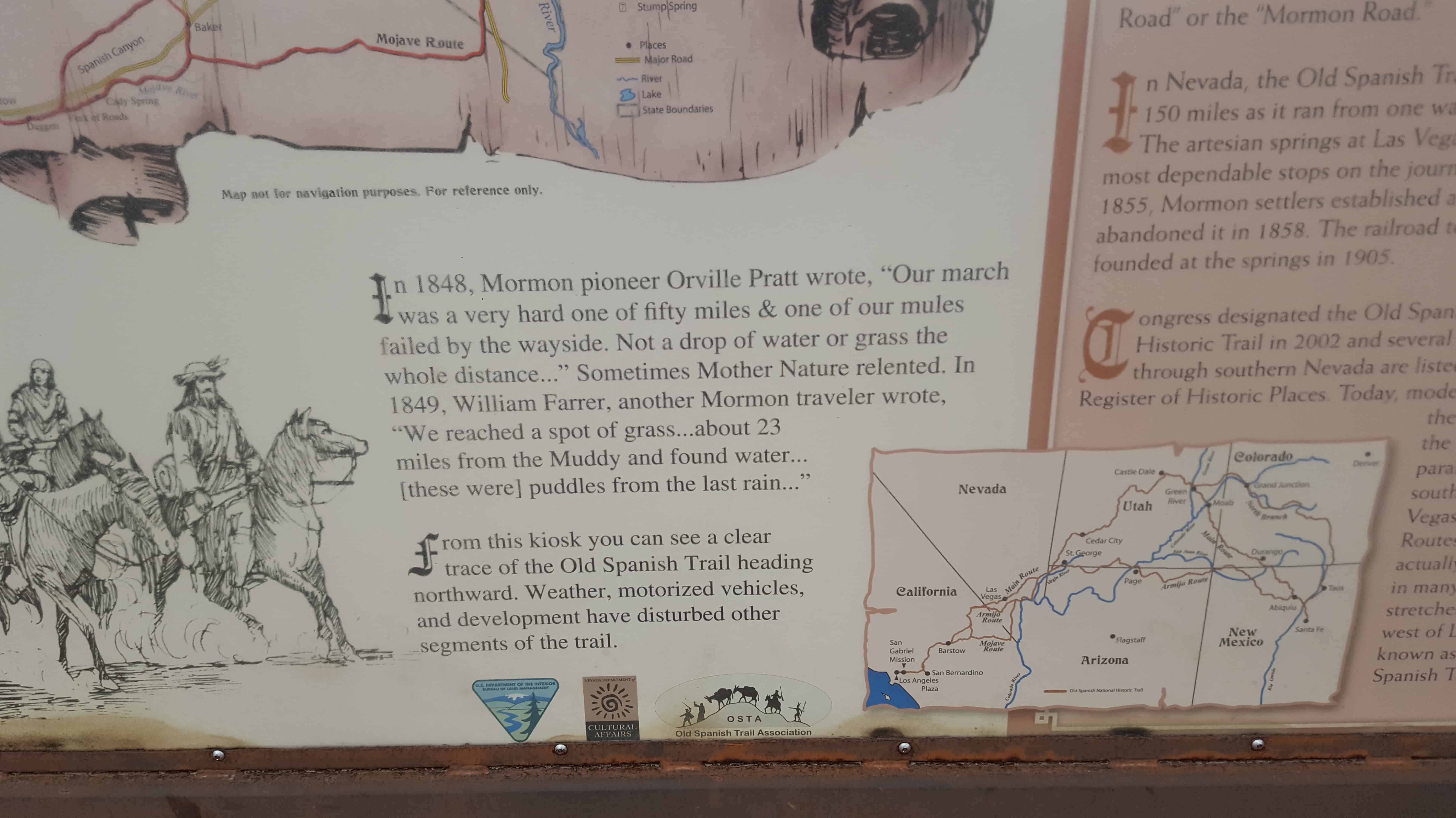
Another historic marker about the same thing located nearby, from what I can tell at the actual location is this one:

The Last Spike

Track crews constructing west from Salt Lake City met track crews constructing east from Los Angeles January 30, 1905.

Located at N 35.84096 W 115.27352

The Yellow Pine Mining Company Railroad

05 Sunday Jul 2020

Posted by Jacob Barlow in Uncategorized

≈ Leave a comment

Tags

Clark County, E Clampus Vitus, Historic Markers, Jean, Nevada, Railroad

The Yellow Pine Mining Company Railroad, a historic marker in Jean, Nevada.

Built in 1911, the Yellow Pine Mining Company Railroad was a twelve and a half mile long narrow-gauge railroad connecting the town of Goodsprings to the Union Pacific Railroad here at Jean. The railroad was built from material purchased from the defunct Quartette Mine Railroad in Searchlight, Nevada. The Yellow Pine Mining District covered the area around Goodsprings and the Sandy Valley area. The primary ores mined were zinc and lead. Other mines produced gold, silver, platinum, palladium, copper, vanadium, molybdenum, nickel, cobalt, and uranium. The district went through several booms and busts, and be 1930 the railroad was out of business. The rails were torn up in 1934, but the right-of-way can still be seen along the road between Jean and Goodsprings.

The Arrowhead Trail Highway

05 Friday Jun 2020

Posted by Jacob Barlow in Uncategorized

≈ Leave a comment

Tags

Arrowhead Trail Highway, Clark County, E Clampus Vitus, Historic Markers, Jean, Nevada

A historic marker in Jean, Nevada.

The first automobile road to connect Los Angeles and Las Vegas was the Arrowhead Trail Highway. Planned, promoted and built beginning i the second decade of the twentieth century, this was one of the named interstate highways of the Good Roads movement. The Arrowhead Trail Highway eventually connected Los Angeles, across the desert to Las Vegas, and then north to Salt Lake City. The road was later numbered Highway 91, and parts of the road are now part of Interstate 15. The final route of the Arrowhead Trail Highway entered Nevada at today’s Primm, and followed a dirt road to Las Vegas. In Las Vegas, it became Fifth Street, and later Las Vegas Boulevard. You can still follow the 1920s route from Jean through Las Vegas, by taking Las Vegas Boulevard from here.

Related Posts:

  • Arrowhead Trail 1914-1924
  • From Native American Trail to Interstate Exit

Concrete Arrow – Jean

01 Monday Jun 2020

Posted by Jacob Barlow in Uncategorized

≈ Leave a comment

Tags

Benchmarks, Clark County, Concrete Arrows, Nevada

I love the old navigation concrete arrows, see this page for more info.

This is one I came across while geocaching near Jean, Nevada.

N 35.74019 W 115.35232

Venetian Hotel

28 Tuesday Aug 2018

Posted by Jacob Barlow in Uncategorized

≈ 1 Comment

Tags

Clark County, Las Vegas, Las Vegas Strip, Nevada

DSC_0021
DSC_0029

The Venetian Hotel 3355 S Las Vegas Blvd in Las Vegas.

Related:

  • The Rat Pack
DSC_0022
DSC_0023
DSC_0028
DSC_0018
DSC_0030
DSC_0031
DSC_0032
DSC_0033
DSC_0034
DSC_0035
DSC_0038
DSC_0039
DSC_0041
DSC_0043
DSC_0044
  • DSC_0042

Seven Magic Mountains

14 Thursday Jun 2018

Posted by Jacob Barlow in Uncategorized

≈ 2 Comments

Tags

Clark County, Land Art, Nevada

  • 2018-02-19 12.41.07
  • 2018-02-19 12.42.53

Seven Magic Mountains

Almost like a fluorescent Stonehenge in the desert near Jean, Nevada (South of Las Vegas along Interstate 15),  Seven Magic Mountains is a Land Art installation that draws many for photo opportunities.

“Seven Magic Mountains is an artwork of thresholds and crossings, of balanced marvels and excessive colors, of casting and gathering and the contrary air between the desert and the city lights.” – Ugo Rondinone

This is an example of Land Art, for more info and examples visit this page.

  • 2018-02-19 12.44.47
  • 2018-02-19 12.43.18
  • 2018-02-19 12.43.31
  • 2018-02-19 12.43.41
  • 2018-02-19 12.43.55
  • 2018-02-19 12.39.09
  • 2018-02-19 12.41.50

Plaza Hotel & Casino

20 Thursday Jul 2017

Posted by Jacob Barlow in Uncategorized

≈ 1 Comment

Tags

Clark County, Fremont Street, Las Vegas, Nevada

  • 2017-06-06 20.36.38

Located at Main Street and Fremont Street is the Plaza, prior to the construction of the casino, part of the site was used for the first train station in Las Vegas, a Spanish style depot, constructed in 1906. It was replaced in 1940 with a Streamline Moderne train station designed by H. L. Gogerty, with a Union Pacific shield, and “Streamliners & Challangers” neon sign. This station was demolished in 1970 and replaced by the Union Plaza Hotel, which included a small waiting room to be used as a station for Amtrak trains.

  • 2017-06-06 21.12.40
  • 2017-06-06 20.36.55

Golden Gate Hotel & Casino

19 Wednesday Jul 2017

Posted by Jacob Barlow in Uncategorized

≈ 1 Comment

Tags

Clark County, Fremont Street, Las Vegas, Nevada

  • 2017-06-06 20.36.30

The Golden Gate Hotel & Casino is located at One Fremont Street in Las Vegas, Nevada, in the United States. A part of the Fremont Street Experience, it is the oldest and smallest hotel (106 rooms) on the Fremont Street Experience.

John F. Miller initially opened a temporary tent hotel – the Miller Hotel – on the property in 1905, while he planned to construct a permanent hotel structure, which opened as the Hotel Nevada on January 13, 1906. A casino operated within the hotel until a statewide gambling ban took effect in 1909. In 1931, the property was expanded and renamed as Sal Sagev (“Las Vegas” spelled backwards). The casino reopened that year when gambling in Nevada was legalized again. In 1955, the casino was renamed as the Golden Gate. The entire property was renamed as the Golden Gate Hotel and Casino in 1974. The Golden Gate was known for its cheap shrimp cocktails, served from 1959 to 2017.

Located at 1 Fremont Street in Las Vegas, Nevada

  • 2017-06-06 21.12.40

El Portal Theatre

17 Monday Jul 2017

Posted by Jacob Barlow in Uncategorized

≈ 1 Comment

Tags

Clark County, Historic Buildings, Las Vegas, Nevada, Theaters

2017-06-06 11.30.51

El Portal Theatre

“The Gateway”

Built: 1927-28

Architect: Charles Alexander MacNelledge

Opened: June 21, 1928

Located on Fremont Street, this building was Las Vegas‘ cultural center for many years.  Its 700seat auditorium and elegant Spanish motif lobby were used for films, plays, music recitals, vaudeville shows, high school graduations and other social events.

This was also the first Air-conditioned building in Las Vegas.

310 Fremont Street in Las Vegas, Nevada

2017-06-06 11.31.01

Here are a few old photos I found online:

8323dec62a11a99dd337eff49ed5a128
El Portal Theatre, Exterior, Las Vegas, NV.

The Old Spanish Trail 1829-1848: The Journey of Death

21 Wednesday Jun 2017

Posted by Jacob Barlow in Uncategorized

≈ 2 Comments

Tags

Clark County, historic, Nevada, Old Spanish Trail

2017-05-07 13.25.02

At this location on the Old Spanish Trail you are standing at the midpoint of the infamous jornada el muerte or journey of death.  Many travelers regarded the parched landscape as the most difficult stretch of the entire journey.  This 55 mile stretch began at Muddy River near Glendale and ended at Las Vegas Springs.  It was the longest, driest stretch of the entire trail.

In 1844, John C. Fremont and his party traveled north from Las Vegas Springs.  He wrote about it in his journal.  “We crossed a gap in the surrounding ridge and the appearance of skeletons of horses very soon warned that we were engaged in another dry jornada, which proved to be the longest we had in all our jounrey — between fifty and sixty miles without a drop of water…  Hourly expecting to find water, we continued to press on until towards midnight, when, after a hard and uninterrupted march of sixteen hours, our wild mules began running ahead; and in a mile or two we came to a bold running stream…”

2017-05-07 13.24.53

2017-05-07 13.24.18

2017-05-07 13.23.45

← Older posts
Newer posts →

Follow Jacob

Follow Jacob

Blog Stats

  • 2,064,930 hits

Social and Other Links

BarlowLinks.com

Recent Posts

  • The Heinrich Gubler Home
  • The Temple Quarry
  • The Old Settler’s “Swallow’s Nest”
  • Arthur Miles Home
  • Navajo Shadehouse Museum

Archives

Loading Comments...