This cabin, believed to be the oldest on Price Townsite, was built by Leander Clifford in 1884. The Daughters of the Utah Pioneers purchased the home in 1928 and moved it to the Price Tabernacle site where it was used as an historical relics hall. It was moved to this site approximately 1936.
This historic marker is located in Pioneer Park in Price, Utah and was dedicated by the Utah Outpost Mountain Charlie Chapter No. 1850 of E Clampus Vitus on July 26, 1980.
This cabin, believed to be one of the oldest in Castle Valley, was built on Gordon Creek by Albert Grames in the early 1880’s. It was moved to Price in the year 1900 and used as a Grames family residence until 1964. Albert Grames, in addition to being one of the first settlers in Castle Valley, was also the first mail carrier and worked in many public service capacities including sexton. The cabin was restored on this site by Utah Outpost in 1985.
This historic marker is located in Pioneer Park in Price, Utah and was dedicated by the Utah Outpost Mountain Charlie Chapter No. 1850 of E Clampus Vitus on August 3, 1985.
The Carbon Hotel was built in the early 1900’s. It was first owned by C. A. Bartolino. The building was used as a hotel, bar, café and sporting house throughout the years. Due to the large number of single male immigrants into the local mines, the bordello on the upper floor was very popular, though somewhat illegal, during Helper’s heydays. Due to increasing pressure from the authorities during the 1970’s the doors were closed. Matt Warner Chapter purchased the building in 1987 with the help of Helper City. The building was restored and is presantly used as a meeting hall for the organization.
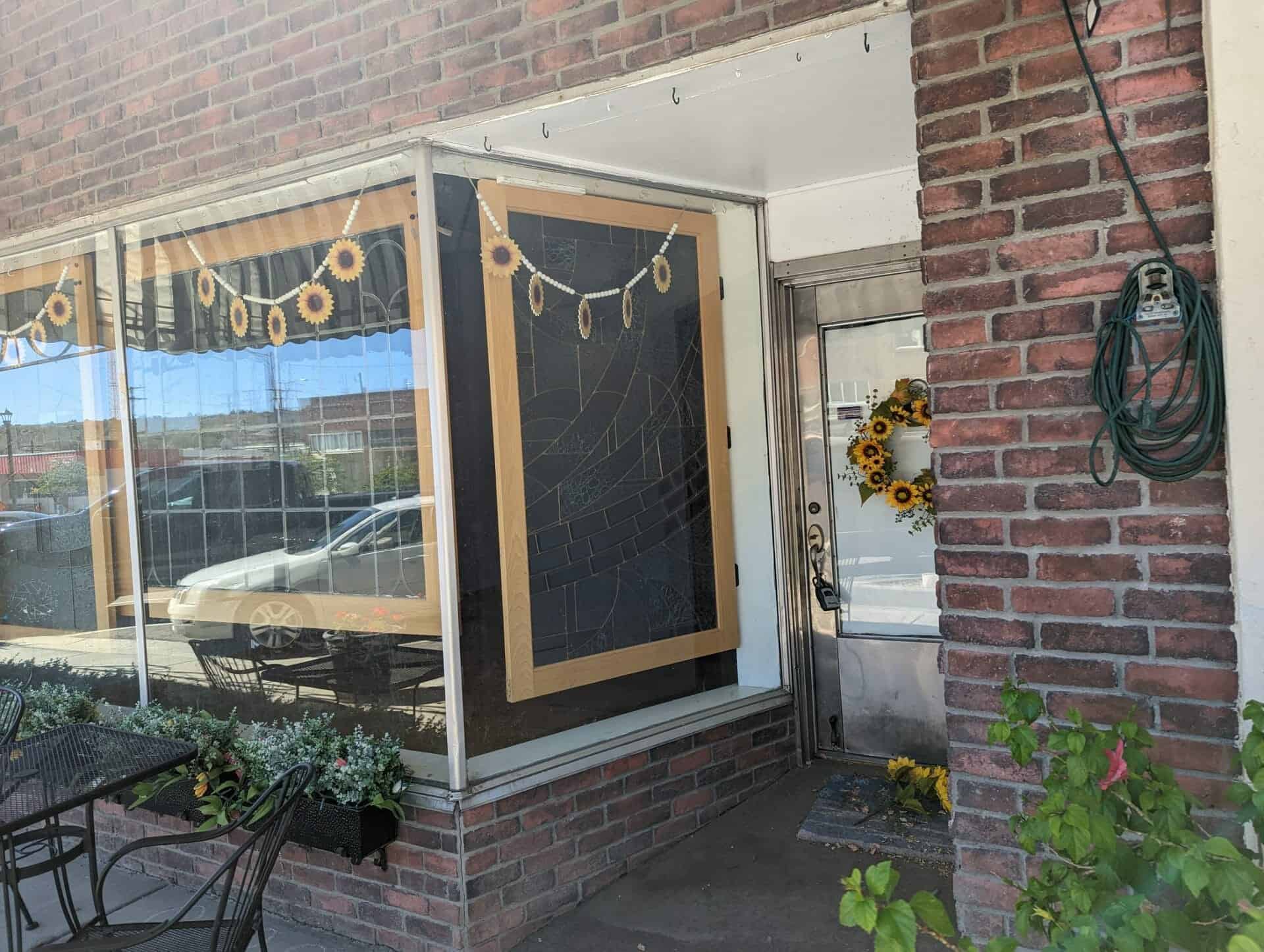
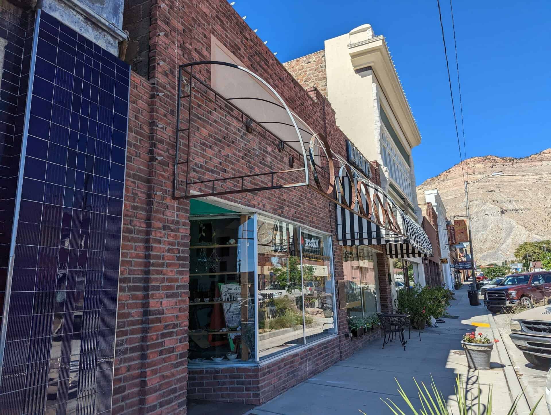
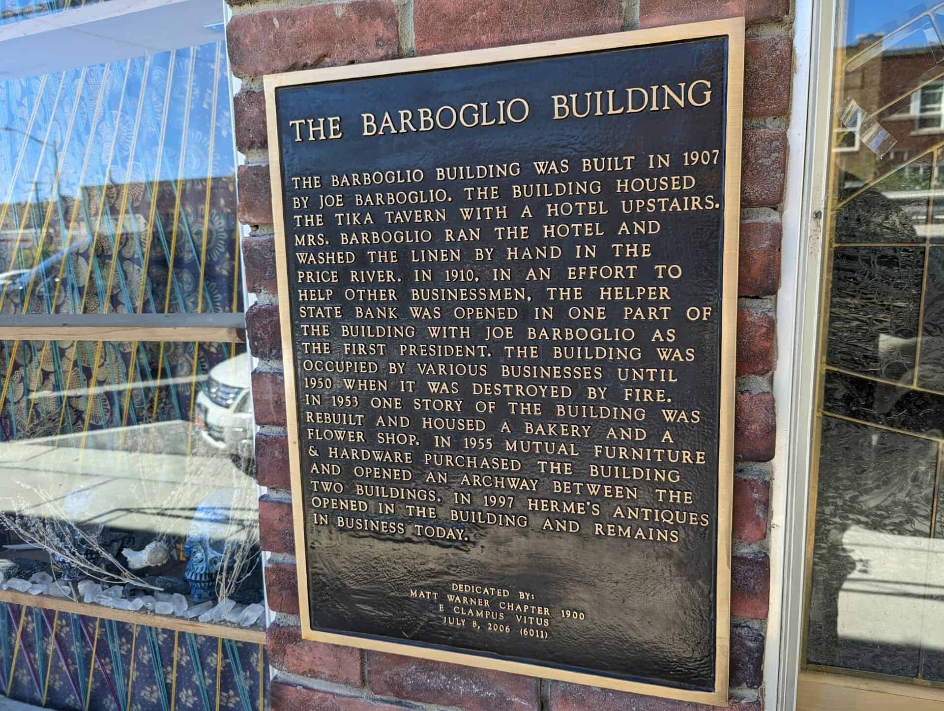
The Barboglio Building was built in 1907 by Joe Barboglio. The building housed the Tika Tavern with a hotel upstairs. Mrs. Barboglio ran the hotel and washed the linen by hand in the Price River. In 1910, in an effort to help other businessmen, the Helper State Bank was opened in one part of the building with Joe Barboglio as the first president. The building was occupied by various businesses until 1950 when it was destroyed by fire. In 1953 one story of the building was rebuilt and housed a bakery and a flower shop. In 1955 Mutual Furniture & Hardware purchased the building and opened an archway between the two buildings. In 1997 Herme’s Antiques opened in the building and remains in business today.
One story commercial building located on the site of the original Barboglio building known as the Tika Tavern. Present building houses an annex of the Mutual Furniture Company and bakery.
In 1973 local Girl Scout Cadette Troop 555, consisting of 39 girls ages 12-15, envisioned a place for Helper Senior Citizens to rest and enjoy their day.
This valley was originally settled in 1881 by Teancum Pratt. The original Pratt Survey still predominates on maps of this area. He sold land to the Rio Grande Western Railroad for a right of way. By the fall of 1887 the railroad had built 27 frame residences and from this start the town continued to grow. With the completion of the standard gauging of track in 1891, a terminal was established in this area.
It took extra engines to push trains over Soldier Summit, these extra locomotives were called “Helpers” and it was from this source that Helper was named.
With a mixed population of practically every nationality, Helper grew into a booming town. In 1907 Helper Township was incorporated.
This historic marker is located at the old Helper City Hall Building at 73 South Main Street in Helper, Utah and was dedicated by the Matt Warner Chapter 1900 of E Clampus Vitus on July 11, 1987 and remounted and rededicated July 8, 1995.
This one-story red brick flat roof building was built as the Helper City Hall in 1927. This building has classical “tin” cornices, columns and pediment. The project architect was Walter E. Ware of Salt Lake City.
The City Hall has been a center of community events since it was built. The building has always served as Helper’s City Hall, maintains its original appearence and contributes to the historic qualities of the Helper Historic District.
Marker Placed in 1997 by Division of State History. ( CR-07-735.)
Star Dancing Erected June 1, 2010 The Star of Helper represents the sky like the town and has no bounds. The Star also represents Helper as Utah’s Christmas Town. Donated by: Marie Camille Truscott Lentsch (a former Helper resident) Kirt E. Mascaro Helper City Councilman, 2010
Presented to Helper City We pledge allegiange to the flag of the United States of America and to the Republic for which it stands one Nation, Indivisible, with Liberty and Justice for all.
Presented and dedicated by Price Lodge No. 1550, B. P. O. Elks June 14 – 1952
Matt Warner left home in 1879 at age 15, thinking he had killed a rival in a fight over a girl. He lived his early life on the outlaw trail as a bandit and rustler and was sent to prison on September 21, 1896.
Matt was pardoned by Governor Wells on January 21, 1900. He settled in Price and spent his remaining 38 years as a productive member of society; serving as deputy Sheriff, Justice of the Peace, detective and night policeman. In 1912 he ran for Sheriff but was defeated because he ran under his real name of Willard Christiansen and nobody knew who that was. Matt lived in this house until his death on December 21, 1938.
This historic marker was dedicated by the Matt Warner Chapter 1900 of E Clampus Vitus on July 19, 1997 and is located at 55 South 200 East in Price, Utah
The Rainbow Inn is located at 305 N Mains St, Helper, Utah and was built in 1922. Originally owned by Lena Fodero, the building was used as a hotel, bar, and sporting house. It was known for the bordello on the upper floor. The railroad which serviced the Spring Canyon coal mining towns went directly past the Rainbow Inn. It’s location drew many single male immigrants who were working on the railroad, at the power plants and in the coal mines.
It was purchased by Stephen M. Johnson on May 1, 1980 and used as a bar. On July 23, 1983, The Rainbow Inn became the first official watering hole of the Utah out post, known as Matt Warner, of the Mountain Charlie Chapter of E Clampus Vitus. The Rainbow Inn closed its doors in 1987.
This marker was erected in 2017 by Matt Warner Chapter 1900 E Clampus Vitus.
Near this site stood the Pleasant Valley Coal Company office and store.
On April 21, 1897, in of of the most daring daylight robberies, Butch Cassidy, Elsa Lay and Bob Meeks robbed paymaster E. L. Carpenter and made off with over $8000.00 in gold and silver of which only approximately $1000.00 was ever recovered.
This historic marker is located at the Castle Gate Historic Marker Highway Pull-Off with several others (listed on this page) and was erected July 24th, 1982 by the Utah Outpost, Mountain Charlie Chapter No. 1850, E Clampus Vitus
The Daggett Garage began life in the 1880s at the borax town of Marion, located on the northeast shore of Calico Dry Lake, as a locomotive repair roundhouse for the narrow-gauge Borate and Daggett Railroad. Daggett blacksmith Seymour Alf used a twenty-mule team to move the building to the Waterloo Mill and mine, southwest of Calico, circa 1896, where it served a similar purpose for a silver ore narrow-gauge railroad. Walter Alf, Seymour Alf’s son, moved the building to its current location in Daggett circa 1912.
The building was an auto repair shop on the National Old Trails Highway until World War II, when it became a mess hall for United States Army troops guarding the local railroad bridges. The Fouts brothers bought the building in 1946 and operated an automotive garage and machine shop in the building until the mid-1980s. The building is currently owned and operated by the Golden Mining and Trucking Company.
This plaque (located in Daggett, California) was dedicated May 4, 2003, by the Billy Holcomb chapter of E Clampus Vitus and the Daggett Historical Society, Inc.