• About JacobBarlow.com
  • Cemeteries in Utah
  • D.U.P. Markers
  • Doors
  • Exploring Utah Email List
  • Geocaching
  • Historic Marker Map
  • Links
  • Movie/TV Show Filming Locations
  • Oldest in Utah
  • Other Travels
  • Photos Then and Now
  • S.U.P. Markers
  • U.P.T.L.A. Markers
  • Utah Cities and Places.
  • Utah Homes for Sale
  • Utah Treasure Hunt

JacobBarlow.com

~ Exploring with Jacob Barlow

JacobBarlow.com

Tag Archives: Garfield County

Pioneers of Antimony

04 Thursday Nov 2021

Posted by Jacob Barlow in Uncategorized

≈ Leave a comment

Tags

Antimony, DUP, Garfield County, Historic Markers, utah

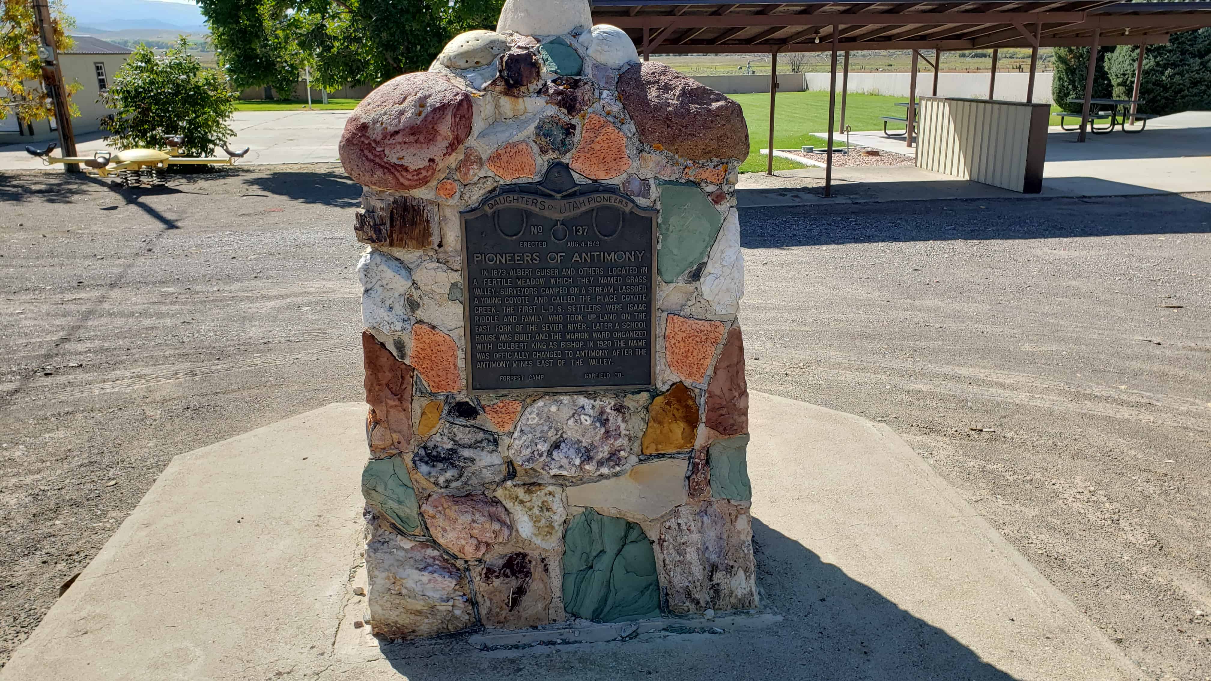
Pioneers of Antimony

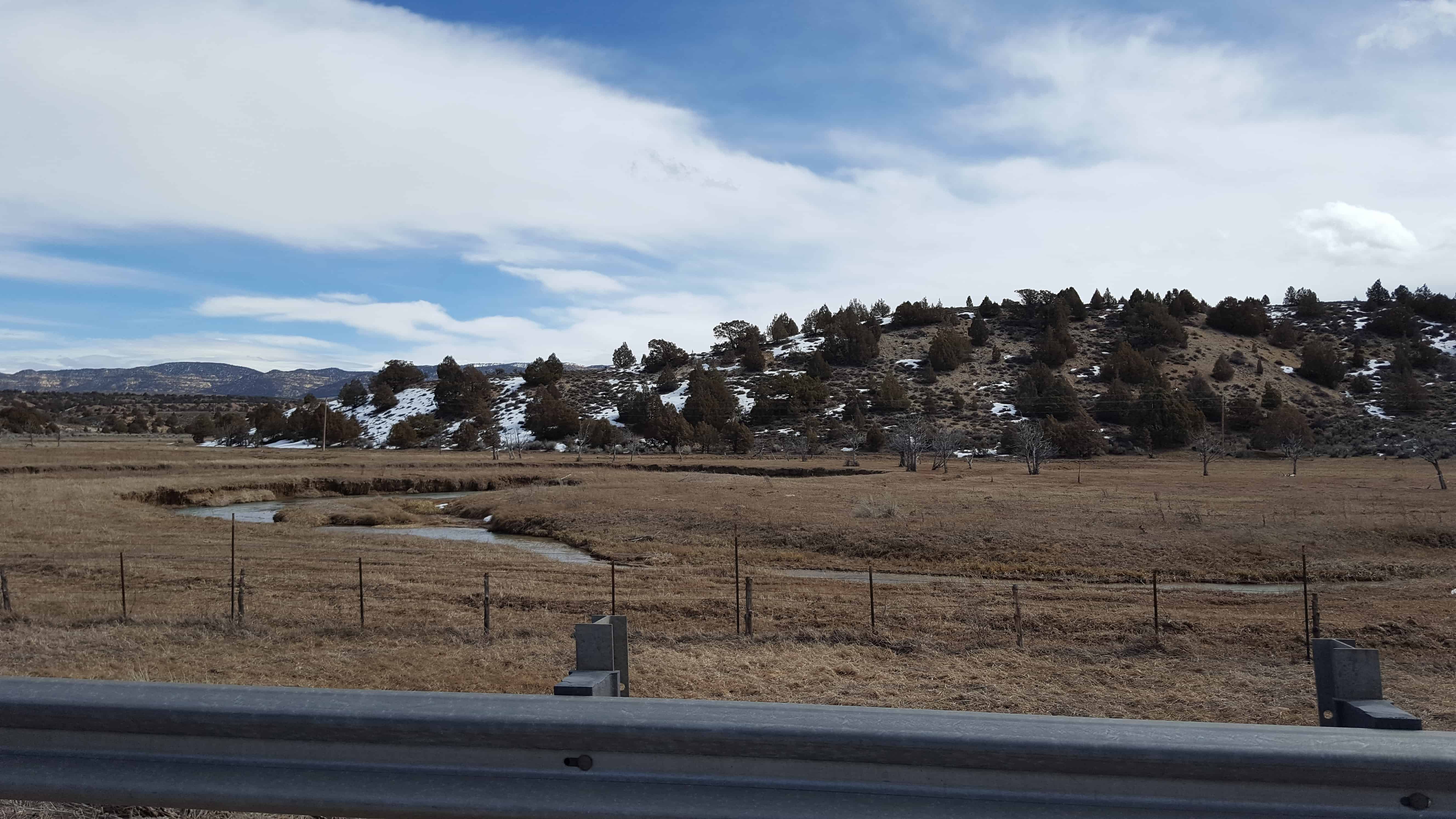
In 1873, Albert Guiser and others located in a fertile meadow which they named Grass Valley. Surveyors camped on a stream, lassoed a young coyote and called the place Coyote Creek. The first L.D.S. settlers were Isaac Riddle and family who took up land on the east fork of the Sevier River. Later a school house was built, and the Marion Ward organized with Culbert King as Bishop. In 1920 the name was officially changed to Antimony after the antimony mines east of the valley.

This is D.U.P. historic marker #137, located at 160 E Center Street (Highway 22) in Antimony, Utah

Related:

  • DUP Markers

Osiris, Utah

17 Saturday Apr 2021

Posted by Jacob Barlow in Uncategorized

≈ Leave a comment

Tags

Garfield County, Osiris, utah

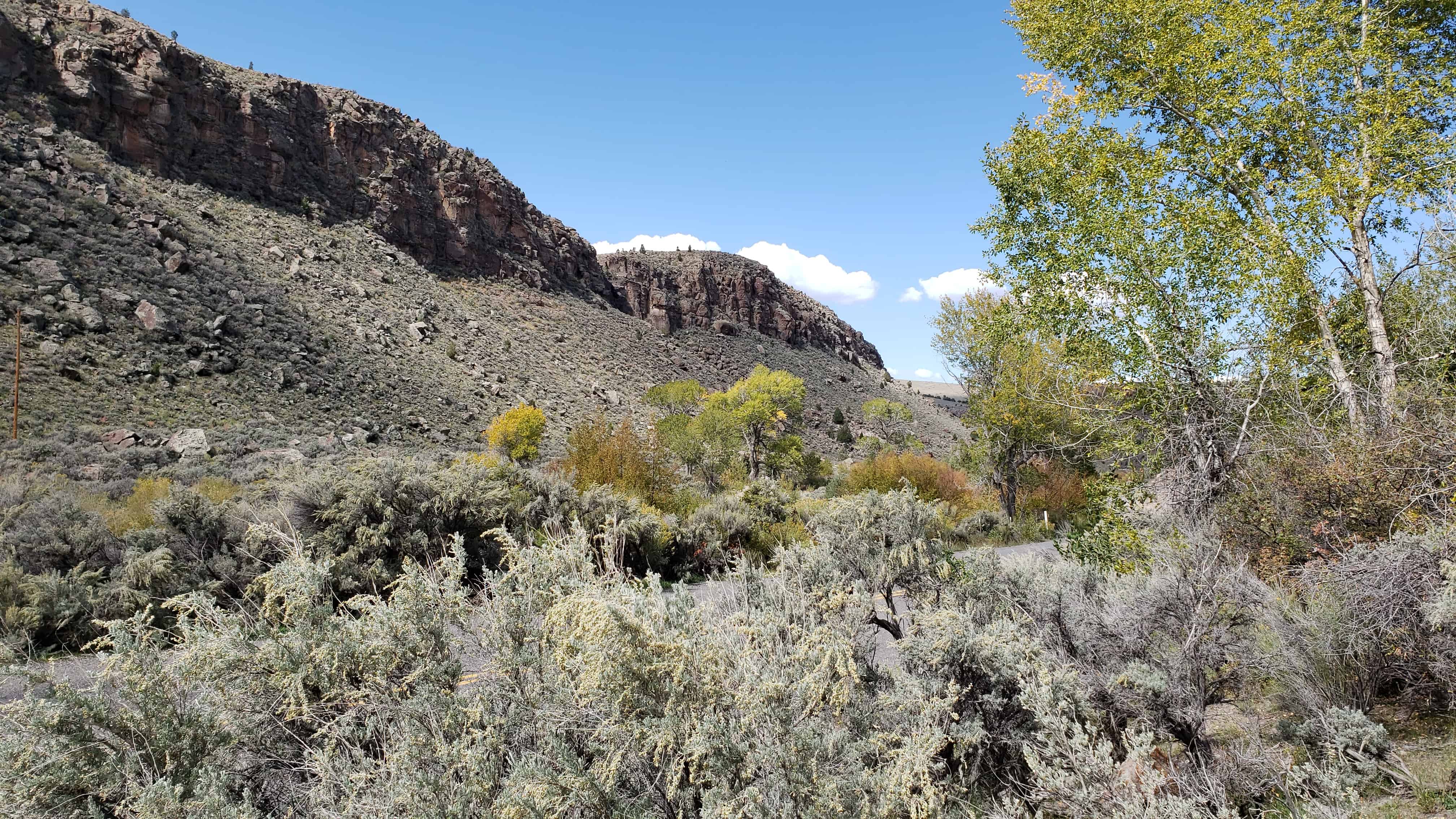
Osiris, Utah is in Garfield County in a beautiful winding canyon and is mostly known for the old abandoned creamery.

The former town was established in 1910 and first called Henderson.

Related:

  • Osiris Creamery

Osiris Creamery

16 Friday Apr 2021

Posted by Jacob Barlow in Uncategorized

≈ Leave a comment

Tags

Abandoned, Creameries, Garfield County, Osiris, utah

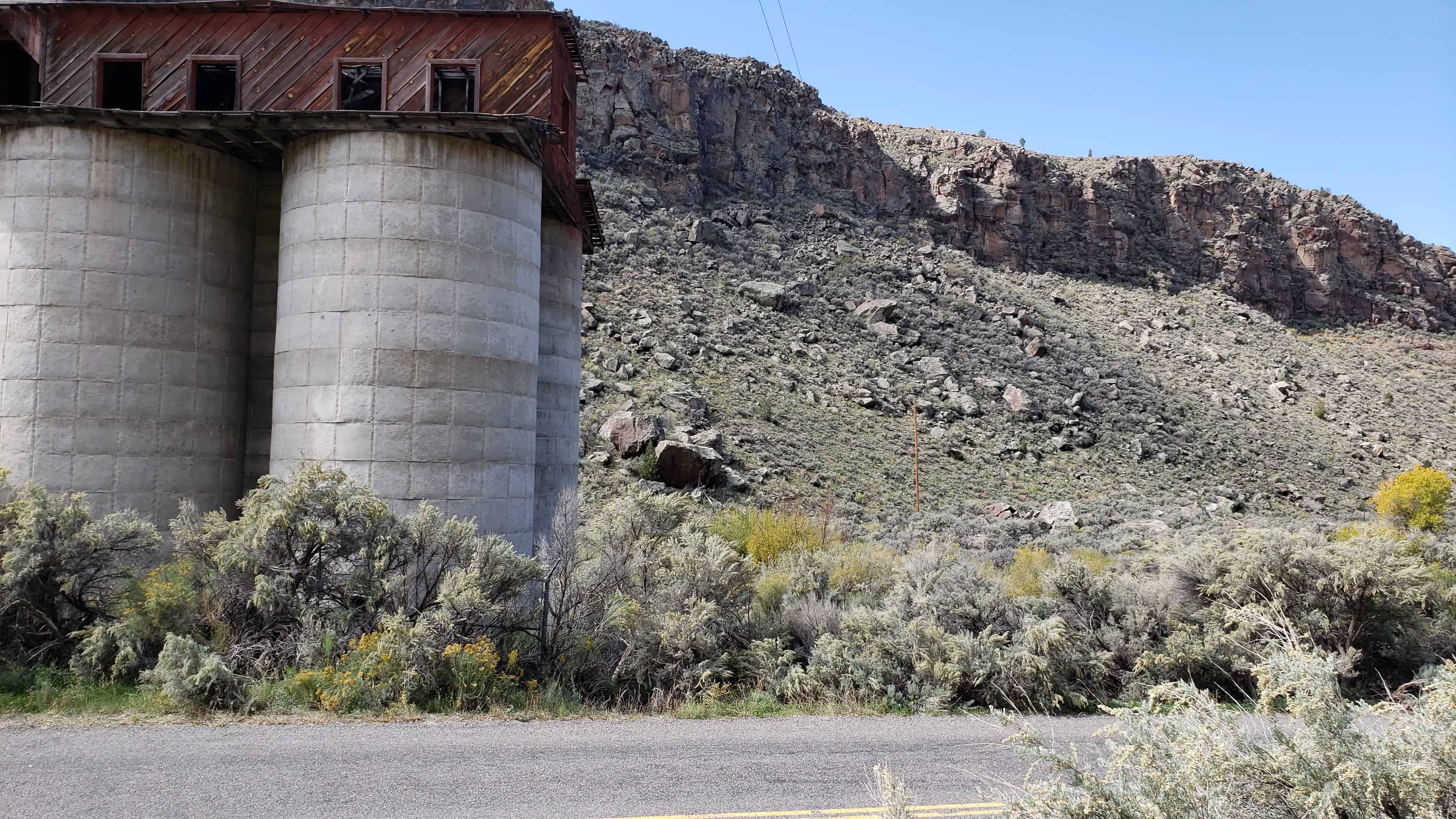
This abandoned creamery along with a home and flour mill located in Osiris, Utah were built by W. E. Holt.

Antimony, Utah

18 Saturday Jul 2020

Posted by Jacob Barlow in Uncategorized

≈ Leave a comment

Tags

Antimony, Garfield County, utah

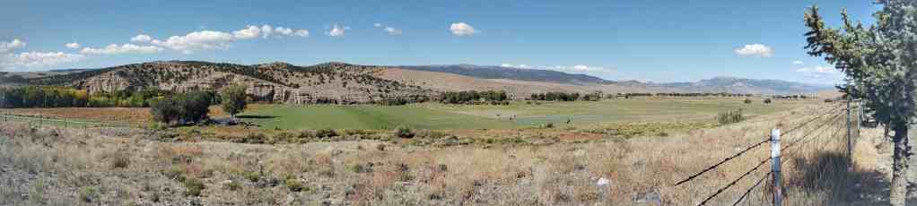
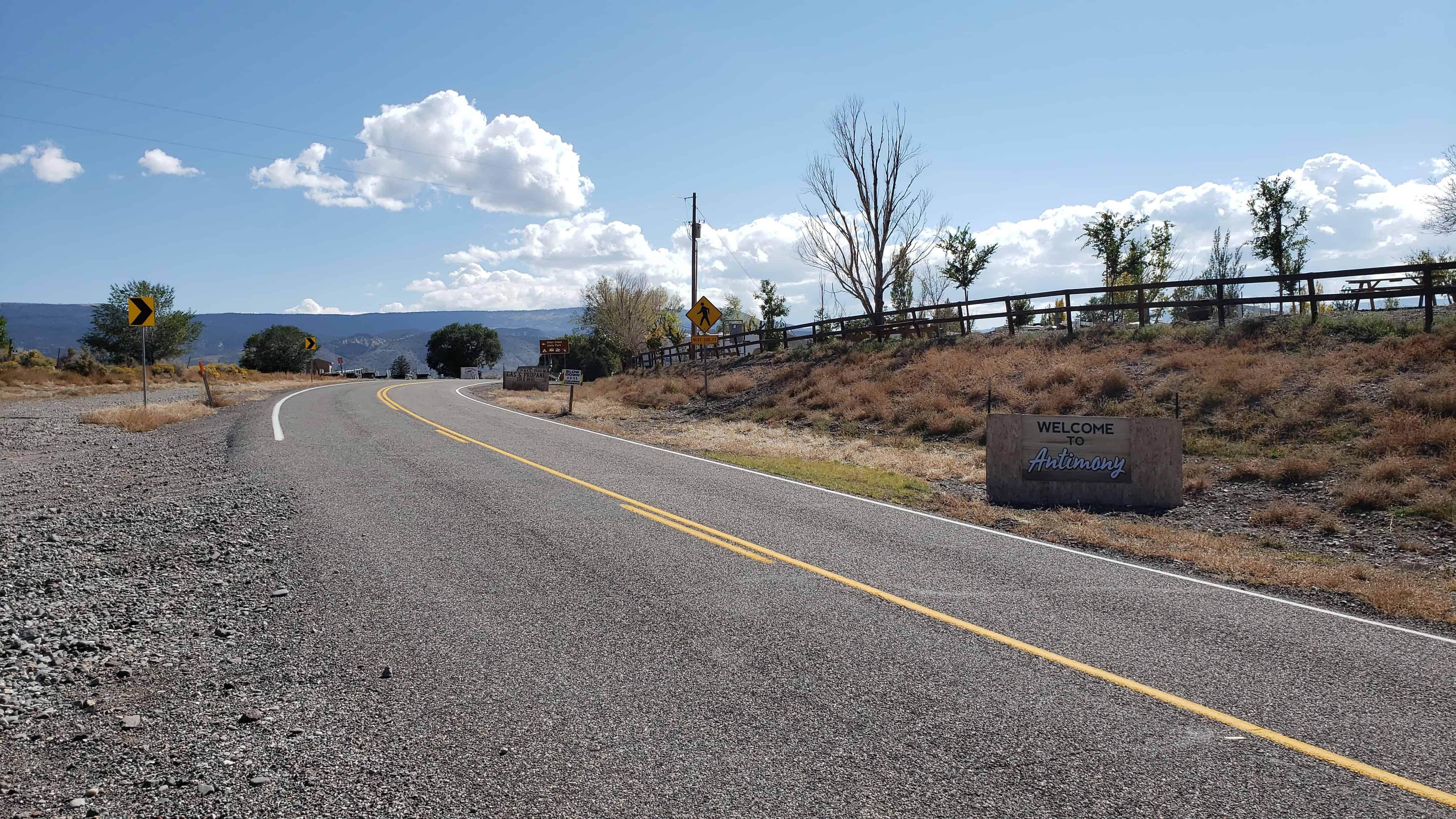
Antimony was originally settled in 1873 and called Coyote, in 1880 they began mining the ore antimony and in 1921 renamed the town to Antimony.

Related:

  • Cemetery
  • Chapel and War Memorial
  • Pioneers of Antimony
  • Post Office

Widtsoe, Utah

27 Thursday Jul 2017

Posted by Jacob Barlow in Uncategorized

≈ Leave a comment

Tags

Garfield County, utah, Wistsoe

  • 103498979233

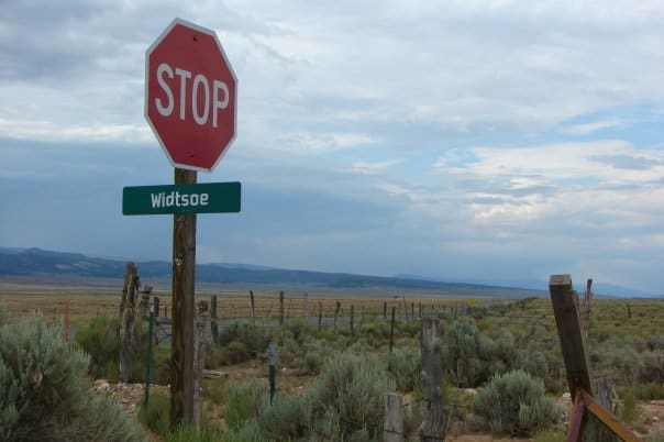
In 1872 the area that would become the later ghost town of Widtsoe was just an open range with James Houston running cattle on it. 1902 brought the Adair family and it became Adairville (not to be confused with Adairville in Kane County). In 1910 it became Winder when the Winder family but because there were already several other places in Utah named Winder the postal service wouldn’t allow it and they changed the name to Houston. 1915 brought the last name change to Widtsoe and by 1920 the settlers gave up on the poor soil and moved away.

Hatch Ward Building & Bell

06 Thursday Apr 2017

Posted by Jacob Barlow in Uncategorized

≈ 2 Comments

Tags

Bells, DUP, Garfield County, Hatch, historic, Historic Markers, utah

  • 2017-03-05 12.41.49

Hatch Ward Building & Bell

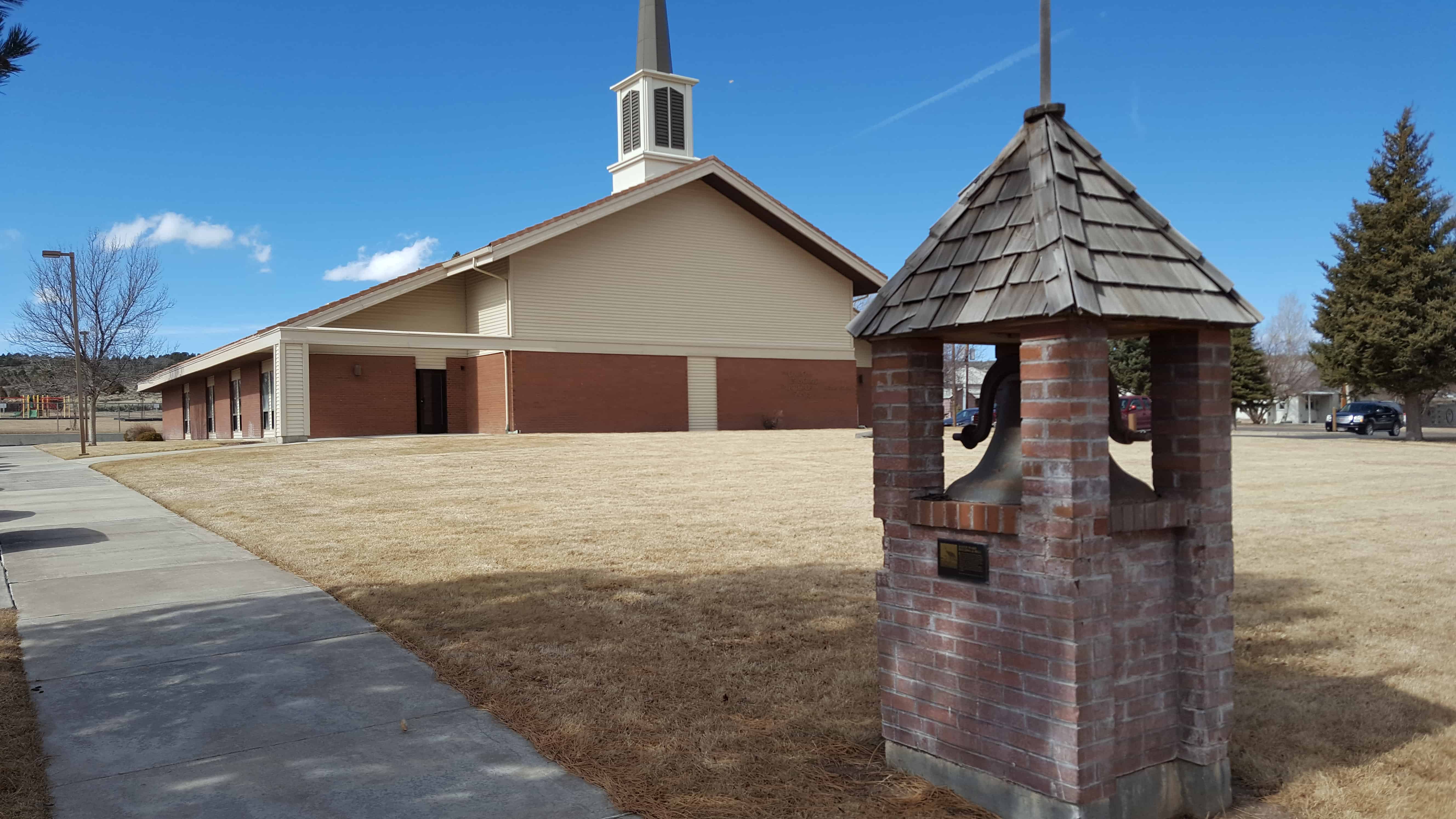
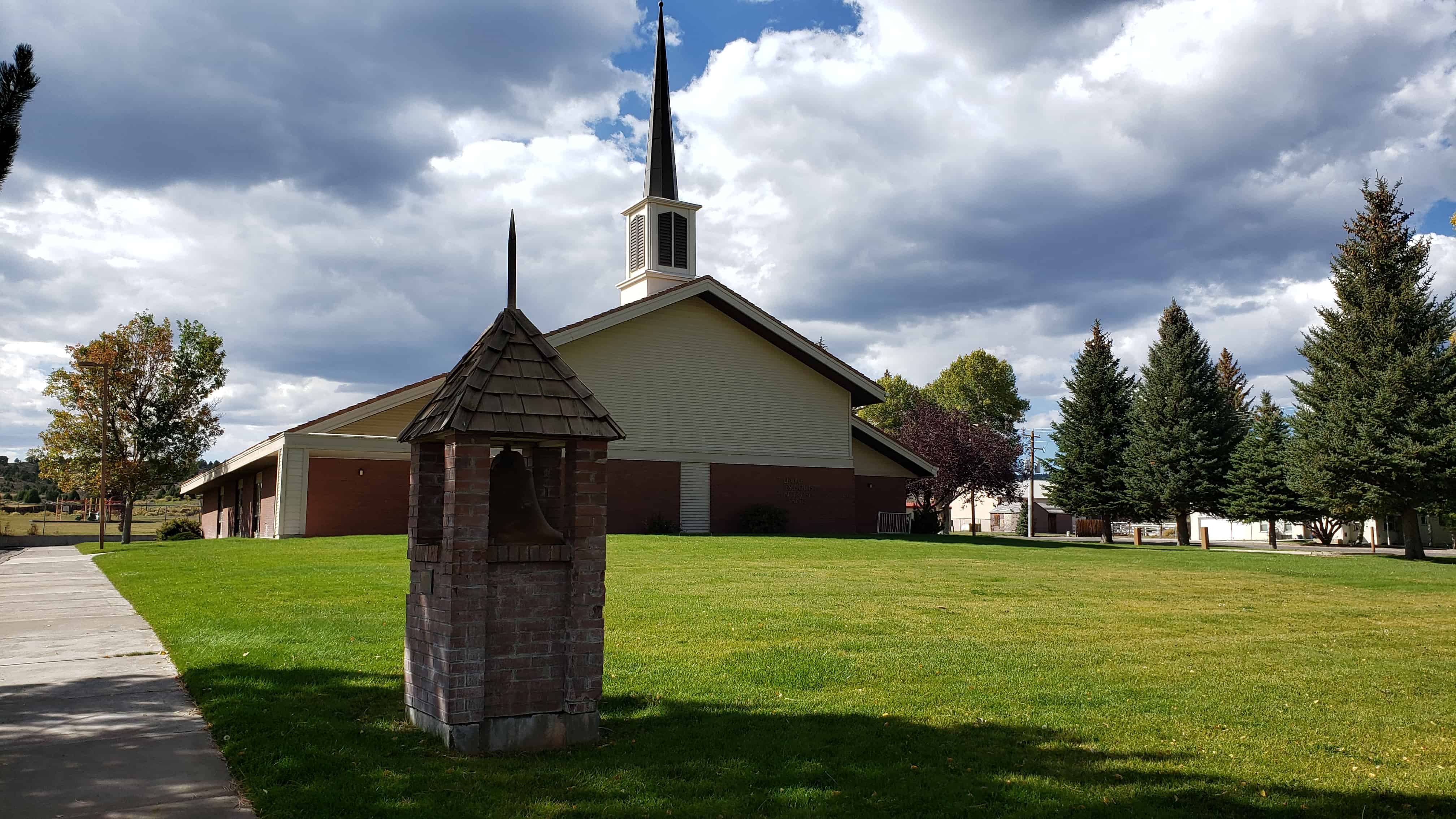
In 1904 the Hatch LDS Ward building was erected on this lot. A vestibule was added in  1901, and the bell was purchased with donations from ward members. For many years it hung in the tower and rang out for all civic, social and church activities. School was held in the building until 1913. The building was razed March 3, 1983, when the new ward meetinghouse was built.

Hatch Camp/Daughters of Utah Pioneers/1988

Asay Settlement

05 Wednesday Apr 2017

Posted by Jacob Barlow in Uncategorized

≈ Leave a comment

Tags

Asay, Garfield County, Ghost Towns, Hatch, Highway 89, historic, Historic Markers, utah

  • 2017-03-05 12.33.01

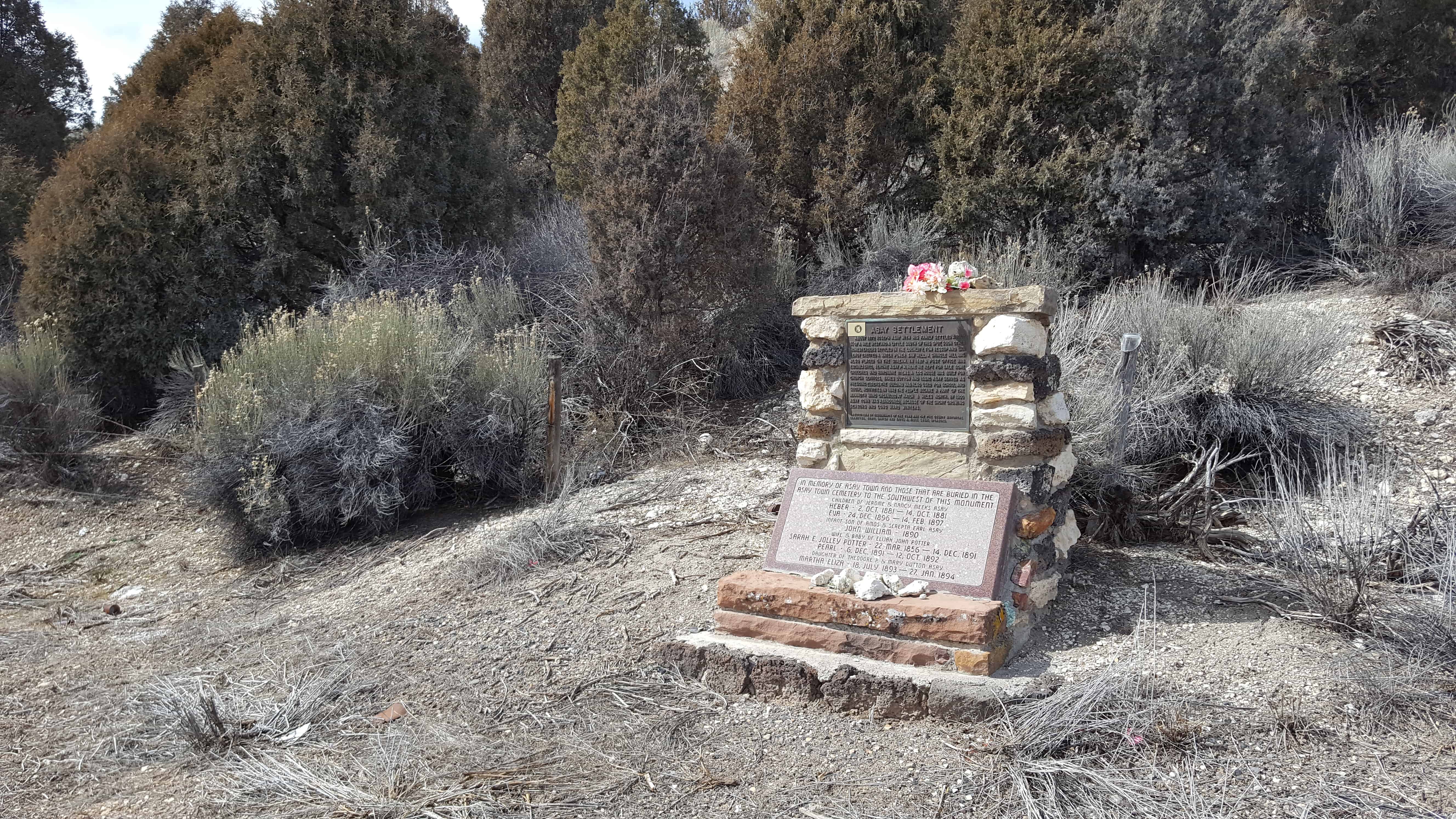
About 1872 Joseph Asay with his family settled about 3/4 of a mile west and a little south of this spot.  Soon other homesteaders settled in the locality.  Tom Jessup and Dan LeRoy erected a water power saw mill.  A shingle mill was established, Jerome Asay P.M.  Here he kept for sale some groceries and hardware items.  A log house was built for church services, James Dutton and Issac Asay served as presiding elders.  The building was also used for school and social activities.  In 1892 the people became a part of the Mammoth Ward organized at Hatch 8 miles north.  By 1900 Asay Town was abandoned, because of the short growing seasons and long hard winters.

Asay was also known as Aaron for time, named for Aaron Asay.

  • 2017-03-05 12.36.00

Hell’s Backbone

21 Saturday Jan 2017

Posted by Jacob Barlow in Uncategorized

≈ 1 Comment

Tags

Boulder, Escalante, Garfield County, utah

picture27sep08-080

Hell’s Backbone Road is a 38-mile  gravel road that was built by the Civilian Conservation Corps in the 1930s, and connects the towns of Boulder, Utah and Escalante, Utah. Halfway along the road is Hell’s Backbone Bridge, which is 109 feet long, and 14 feet wide. A 1,500-foot  drop is on either side. Near the bridge are spectacular views of the Box-Death Hollow Wilderness. From late spring to autumn, the road, which climbs to more than 9,000 feet elevation, is easily passable by ordinary passenger vehicles, but it is very narrow and winding, and not for the faint of heart.

picture27sep08-079


picture27sep08-078

Georgetown, Utah

21 Saturday Jan 2017

Posted by Jacob Barlow in Uncategorized

≈ 1 Comment

Tags

Cannonville, Garfield County, Georgetown, Kodachrome, utah

picture27sep08-070

Georgetown is a ghost town, there was a store, a school and a post office.  Like nearby Cannonville it was named for George Q. Cannon.

Bryce Canyon National Park

21 Saturday Jan 2017

Posted by Jacob Barlow in Uncategorized

≈ 4 Comments

Tags

Bryce Canyon National Park, Garfield County, Kane County, National Parks, utah

picture27sep08-066

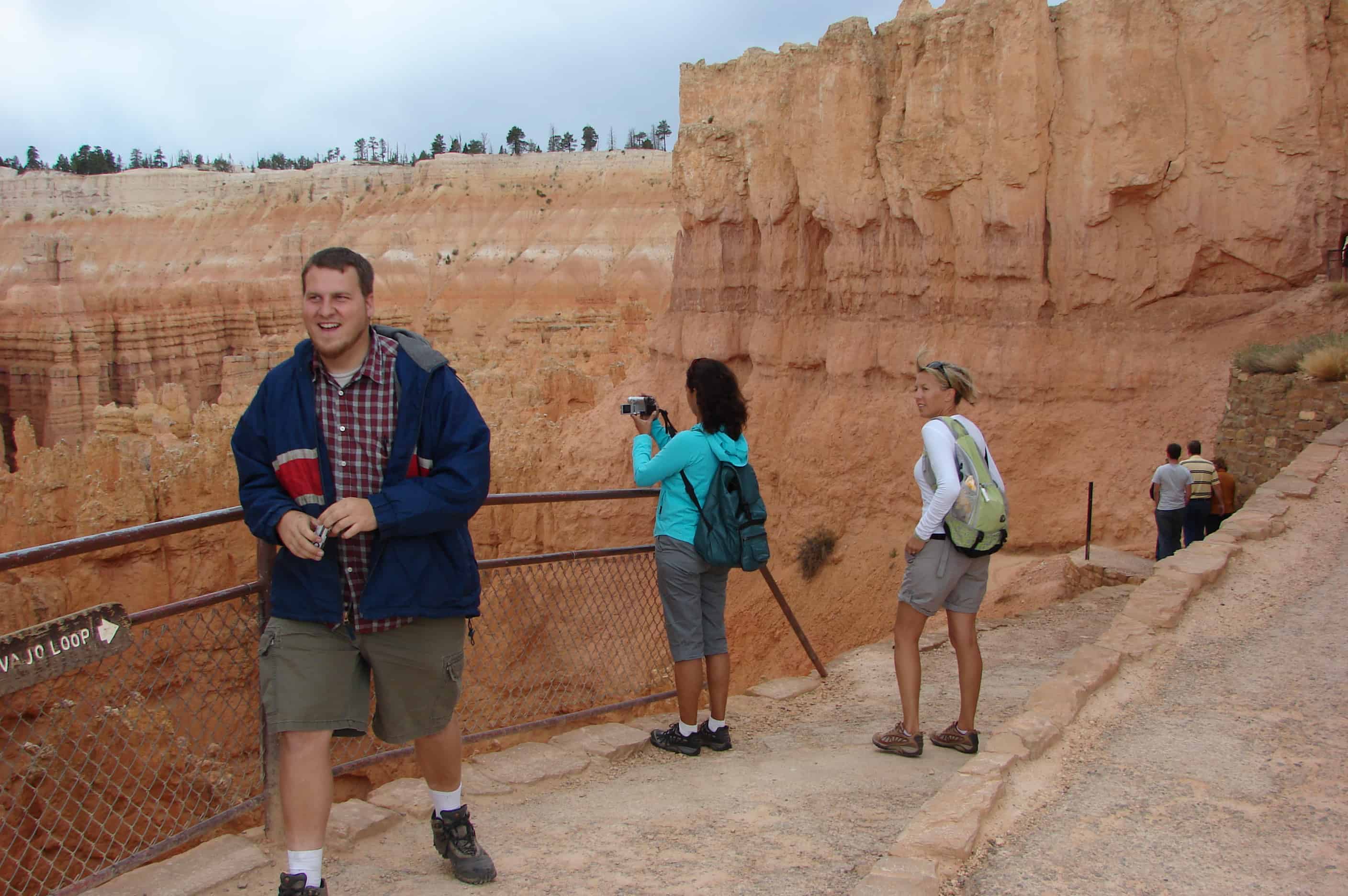
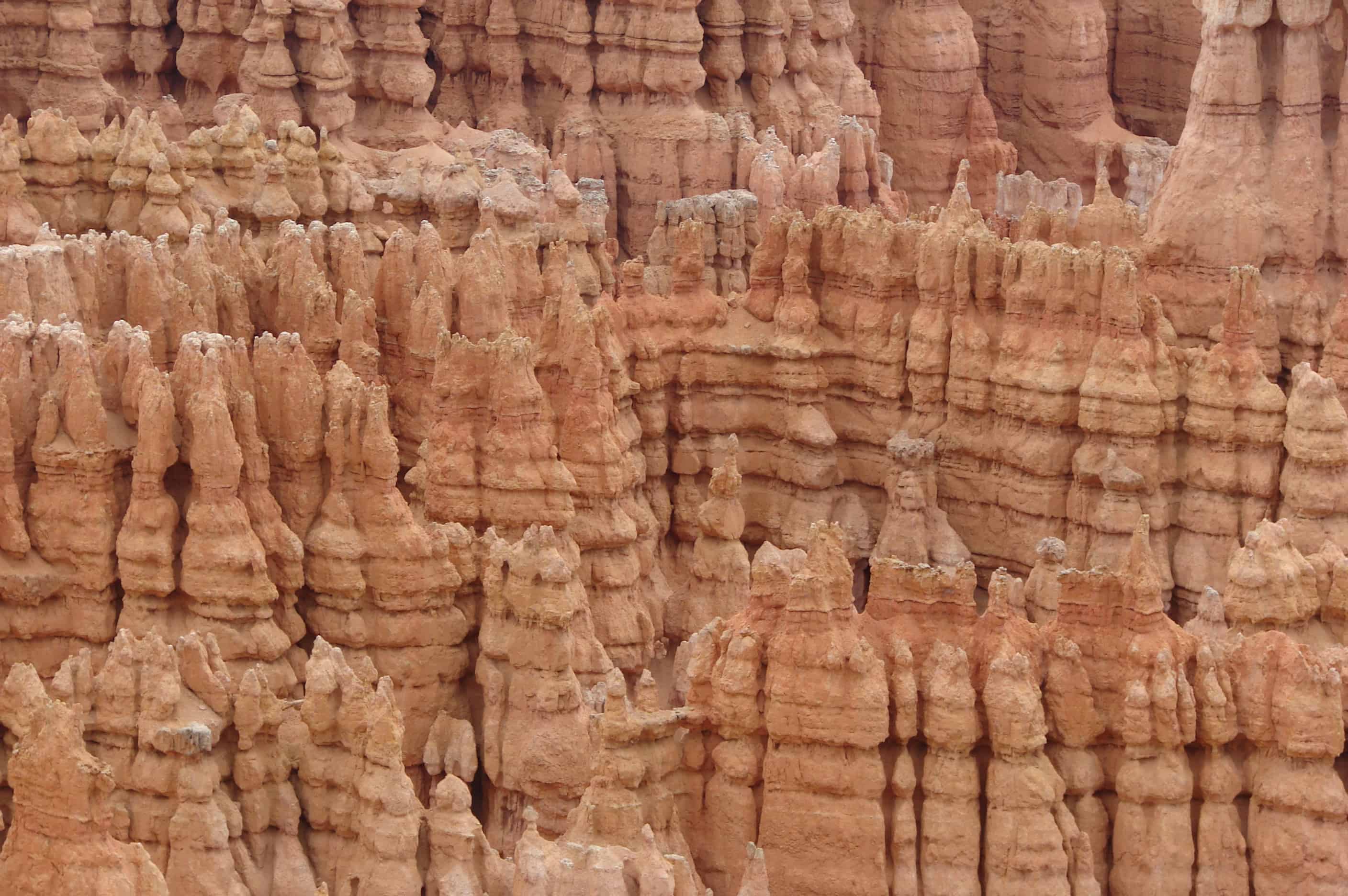
There is no place like Bryce Canyon. Hoodoos (odd-shaped pillars of rock left standing from the forces of erosion) can be found on every continent, but here is the largest collection of hoodoos in the world! Descriptions fail. Photographs do not do it justice. An imagination of wonder will serve you when visiting Bryce Canyon National Park.(*)

Related:
  • Bryce Canyon, Utah
  • Rainbow Point Comfort Station and Overlook Shelter
  • Red Canyon
  • Sunset Point

Bryce Canyon National Park is located partly in Garfield County and partly in Kane County, Utah.

← Older posts
Newer posts →

Follow Jacob

Follow Jacob

Come wander with me on Youtube.

Blog Stats

  • 2,129,004 hits

Social and Other Links

BarlowLinks.com

Recent Posts

  • Utah Southern Railroad Depot
  • John Ford Point
  • William Capener House
  • Justus Wellington Seeley II House
  • Huntington Roller Mill and Miller’s House

Archives

Loading Comments...