• About JacobBarlow.com
  • Cemeteries in Utah
  • D.U.P. Markers
  • Doors
  • Exploring Utah Email List
  • Geocaching
  • Historic Marker Map
  • Links
  • Movie/TV Show Filming Locations
  • Oldest in Utah
  • Other Travels
  • Photos Then and Now
  • S.U.P. Markers
  • U.P.T.L.A. Markers
  • Utah Cities and Places.
  • Utah Homes for Sale
  • Utah Treasure Hunt

JacobBarlow.com

~ Exploring with Jacob Barlow

JacobBarlow.com

Tag Archives: Garfield County

Red Canyon

21 Saturday Jan 2017

Posted by Jacob Barlow in Uncategorized

≈ 1 Comment

Tags

Garfield County, Red Canyon, utah

picture27sep08-028

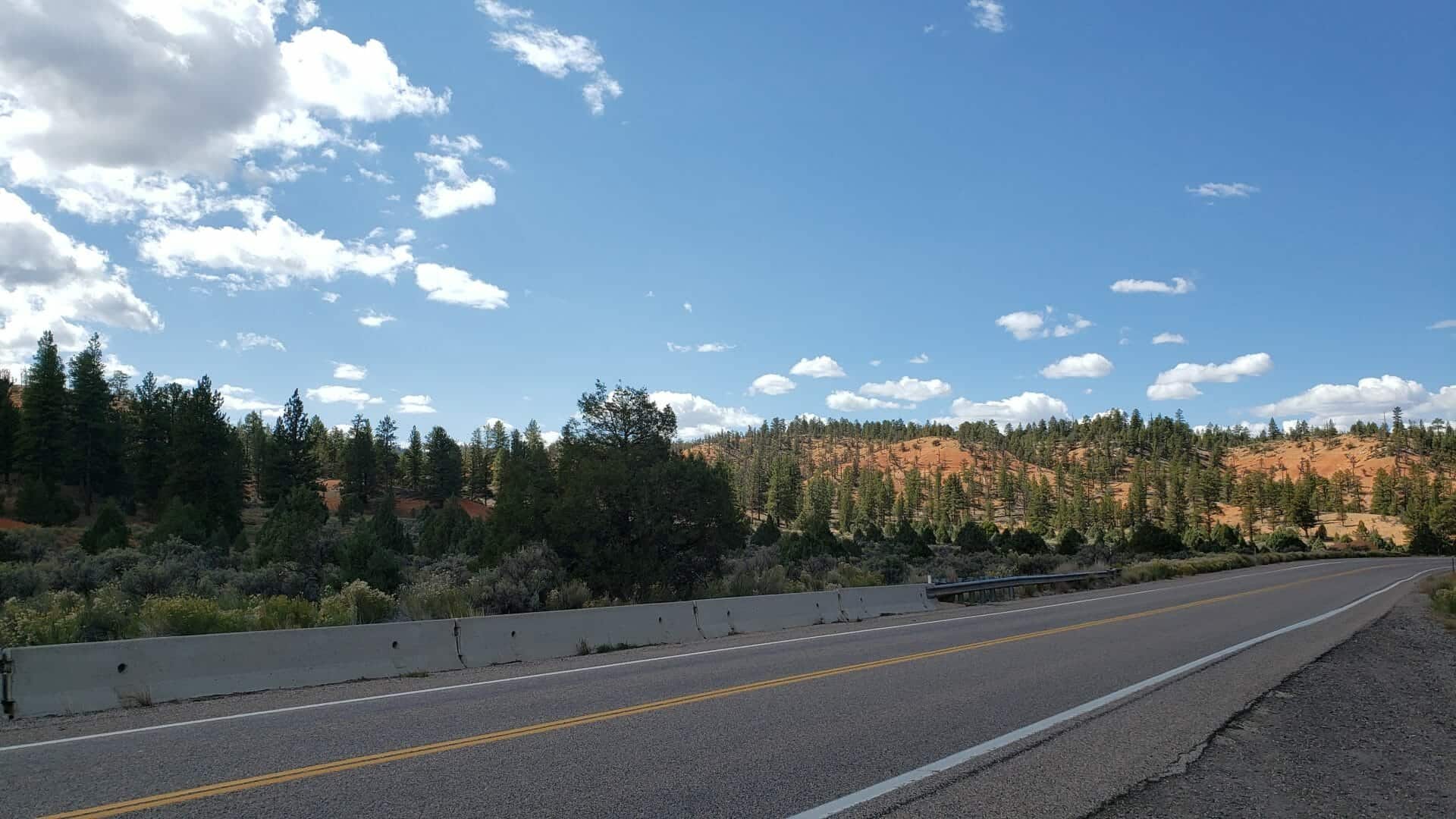
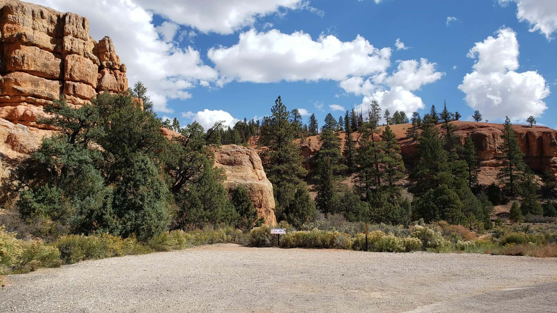
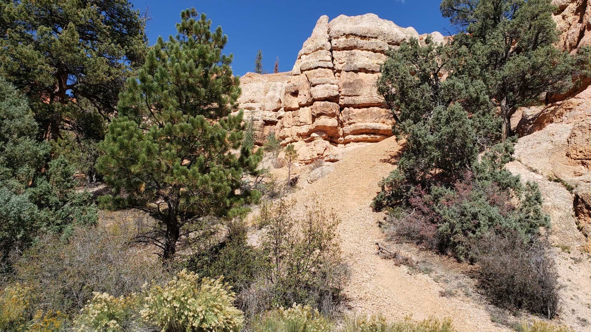
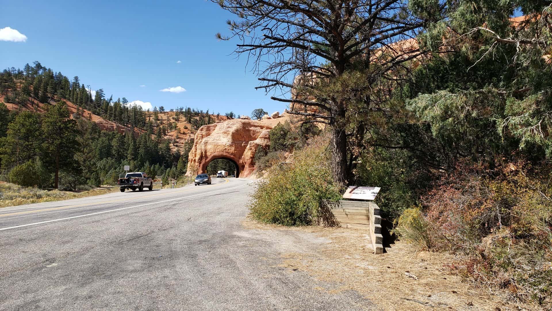
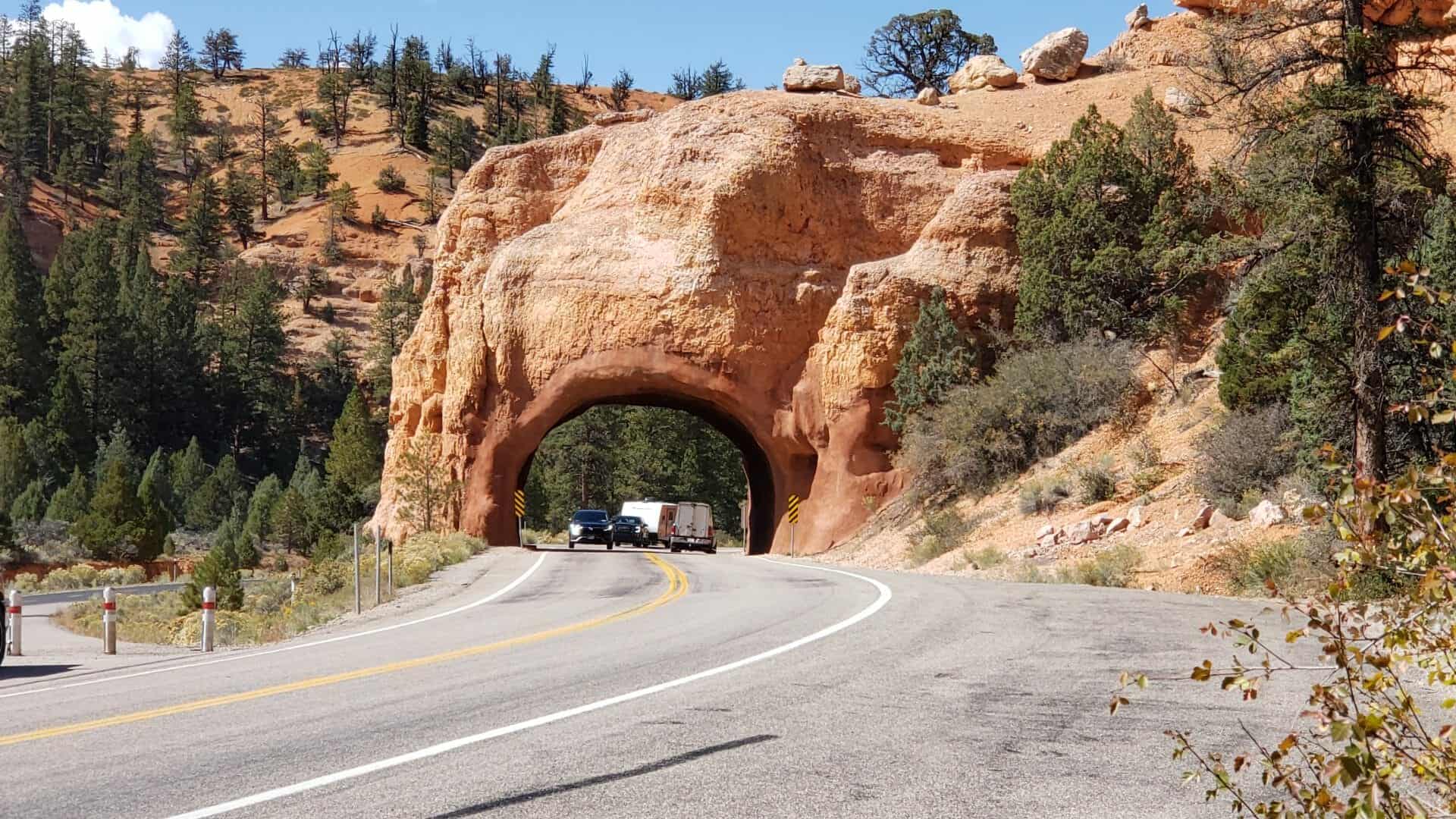
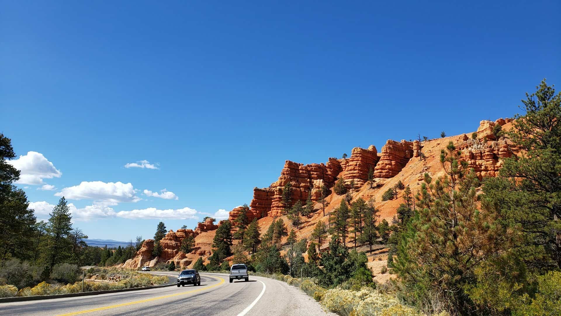
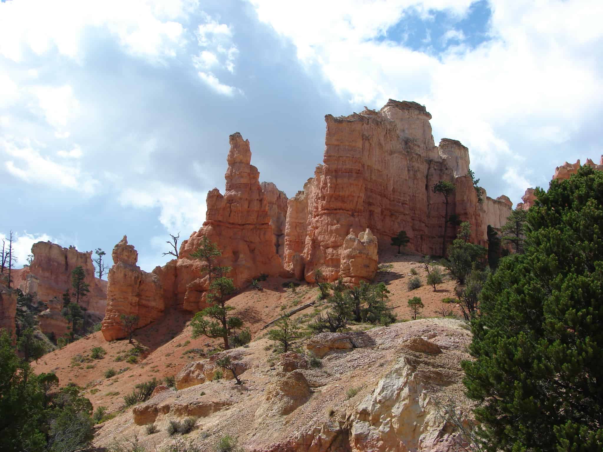
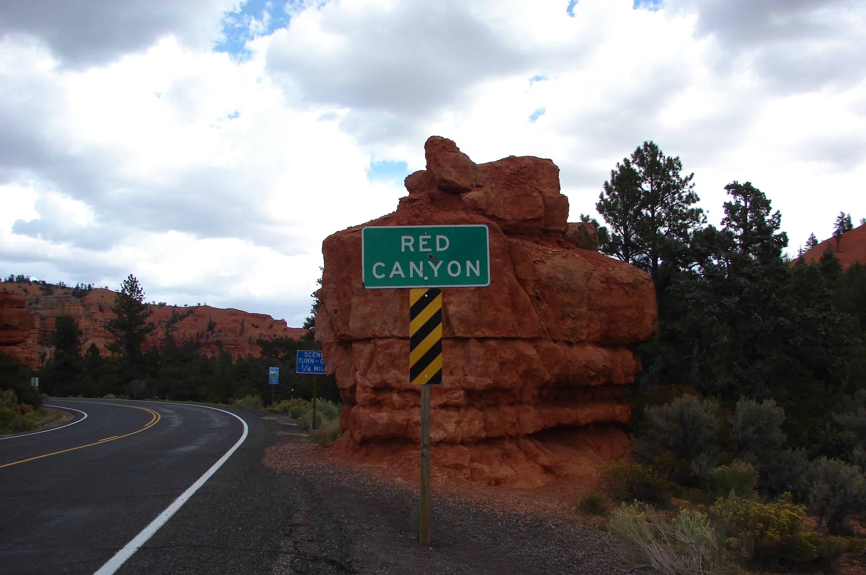
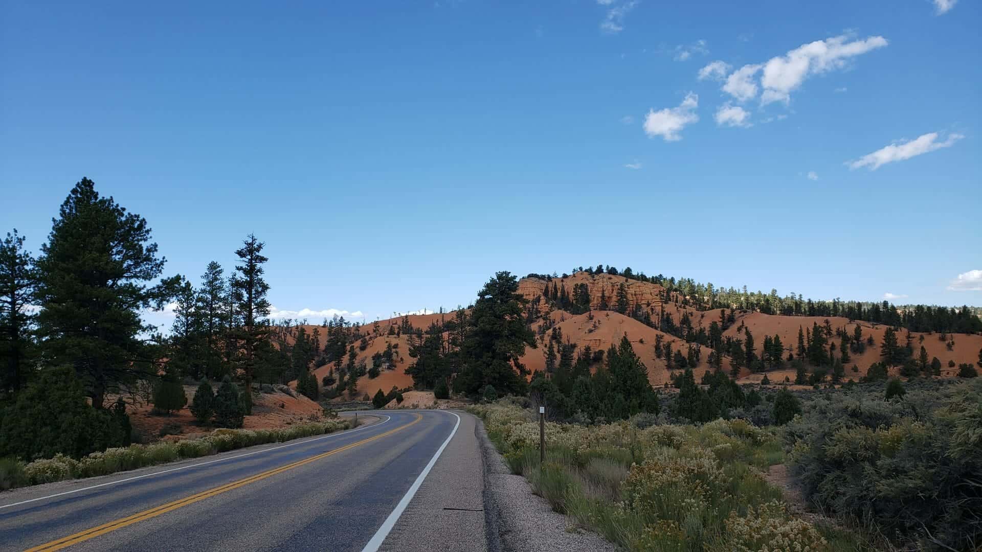
From the Native Americans who traveled the canyons, to people like J.W. Humphry who constructed the tunnels, Red Canyon on the Dixie National Forest has fascinated people for centuries. Unique vermilion-colored rock formation and stands of Ponderosa pines make the canyon exceptionally scenic. Take time to discover all that Red Canyon has to offer.

The first stop when touring Highway 12 is the Scenic Byway Information Kiosk located at the mouth of Red Canyon. This information pavilion provides an overview of the entire byway and highlights significant features.

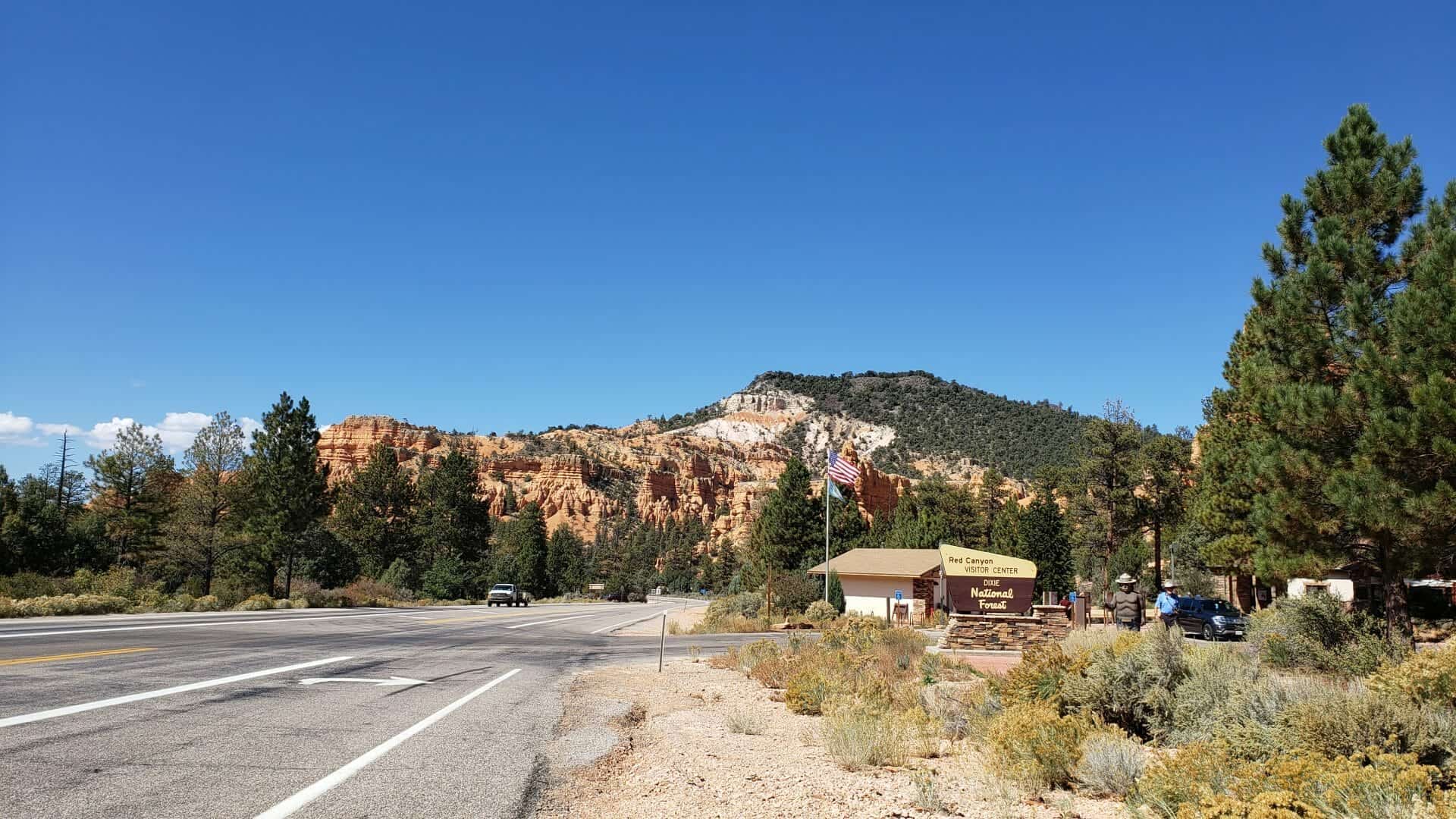
The Red Canyon Visitor Center, open from Memorial Day to Labor Day, has information on hiking, camping, picnicking, and sightseeing. A U.S. Forest Service campground is across the road from the visitor center.

For a closer look at the unique scenery, Red Canyon features an extensive and well-maintained trail system that provides something for everyone. The Birdseye Trail is a moderate .8-mile hike offering spectacular close-up views of the red rock formations. The 3-mile Losee Canyon Trail provides a more rugged look at some of the Red Canyon area “crown jewels”. Off-highway vehicle (OHV) use is allowed on the Casto Canyon Trail. Please check with the visitor center for trail use.

The Red Canyon Trailhead Kiosk, located a short drive east of the visitor center, accesses five different trails with are open to hiking, biking and horses. Less-traveled trails provide a chance to get away from the crowds and see areas saturated with geologic treasures.

Trails in Red Canyon are open year round. When snow-covered some of the trails are perfect for touring on cross-country skis or snowshoes.

Services are available at the junction of Highways 12 and 89, in the nearby towns of Panguitch and Hatch on U.S. 89, and 15 minutes east on Highway 12.(*)
Related:

  • Red Canyon Arch
  • Red Canyon Tunnels: Gateway to Natural Wonders
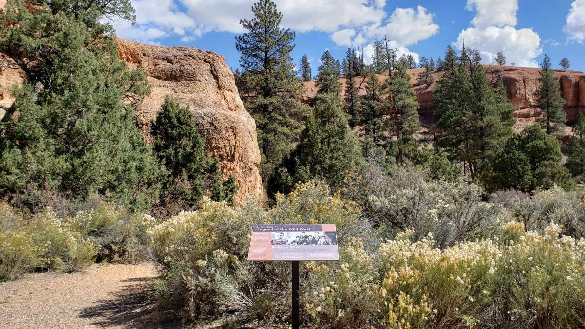
  • Butch Cassidy: Legend of the Wild West
  • Podunk Guard Station

video

Garfield County

21 Saturday Jan 2017

Posted by Jacob Barlow in Uncategorized

≈ 1 Comment

Tags

Garfield County, utah

ARP09 002
  • Boulder Elementary School
  • Bryce Canyon Airport
  • Bryce Canyon National Park
  • Escalante
  • Friendship Cove Pictograph
  • Hole-in-the-Rock Trail
  • Johnson Ranch House
  • Loseeville
  • Mount Hillers
  • Panguitch
  • Pole Hollow Archeological Site
  • Spud Valley
  • Starr Ranch
picture27sep08-026
picture27sep08-083

Head of the Rocks Overlook

14 Wednesday Dec 2016

Posted by Jacob Barlow in Uncategorized

≈ 1 Comment

Tags

Boulder, Escalante, Garfield County, Highway 12, Overlooks, utah

picture24jul07-124

An overlook with breathtaking views, as the sign at the location says, on a clear day you can see forever.

This is a pull-out on Highway 12 between Escalante and Boulder.

picture24jul07-121
picture24jul07-122
picture24jul07-123
picture24jul07-125

Anasazi State Park Museum

14 Wednesday Dec 2016

Posted by Jacob Barlow in Uncategorized

≈ 3 Comments

Tags

Anasazi, Boulder, Garfield County, museums, NRHP, State Parks, utah

picture24jul07-118

Anasazi State Park Museum (formerly Anasazi Indian State Park) is a state park and museum in Southern Utah, United States, featuring the ruins of an ancient Anasazi village referred to as the Coombs Village Site.

The Coombs Site is the site of one of the largest Anasazi communities known to have existed west of the Colorado River. The name Anasazi, Navajo for “Ancient Enemies,” or “Enemies of Our Ancestors” describes the Pueblo culture that existed in the Four Corners area from about 1 AD to 1300 AD. This village is believed to have been occupied from 1160 AD to 1235 AD. As many as 250 people lived there.

The village is largely unexcavated, though there was a brief excavation during 1958 and 1959, conducted by the University of Utah as part of the Glen Canyon Dam Project. During that excavation, archaeologists uncovered thousands of artifacts, and discovered a community of about 90 rooms divided into two separate one-story apartment complexes. An L-shaped building has been reconstructed and can be entered into by visitors. The cluster featured open shelters for working in the shade, storage pits, and adobe pit houses large enough for five or six residents. All together, about 100 structures have been found.

  • Utah State Parks

The Coombs Village Site is part of Anasazi State Park Museum at 460 North Highway 12 in Boulder, Utah and was listed on the National Historic Register on (#76001815) on January 1, 1976

Larb Hollow Overlook

14 Wednesday Dec 2016

Posted by Jacob Barlow in Uncategorized

≈ 1 Comment

Tags

Garfield County, utah

picture24jul07-115

A great view of the San Rafael, Capitol Reef National Park, Lasal Mountains, the Henry Mountains off SR 12 (Scenic Byway) on Boulder Mountain.  Located above Grover, Utah.

picture24jul07-114
picture24jul07-113
picture24jul07-112
picture24jul07-111

Glenwood Hot Springs

08 Tuesday Nov 2016

Posted by Jacob Barlow in Uncategorized

≈ Leave a comment

Tags

Colorado, Garfield County, Glenwood Springs, Hot Springs

picture26apr08-004

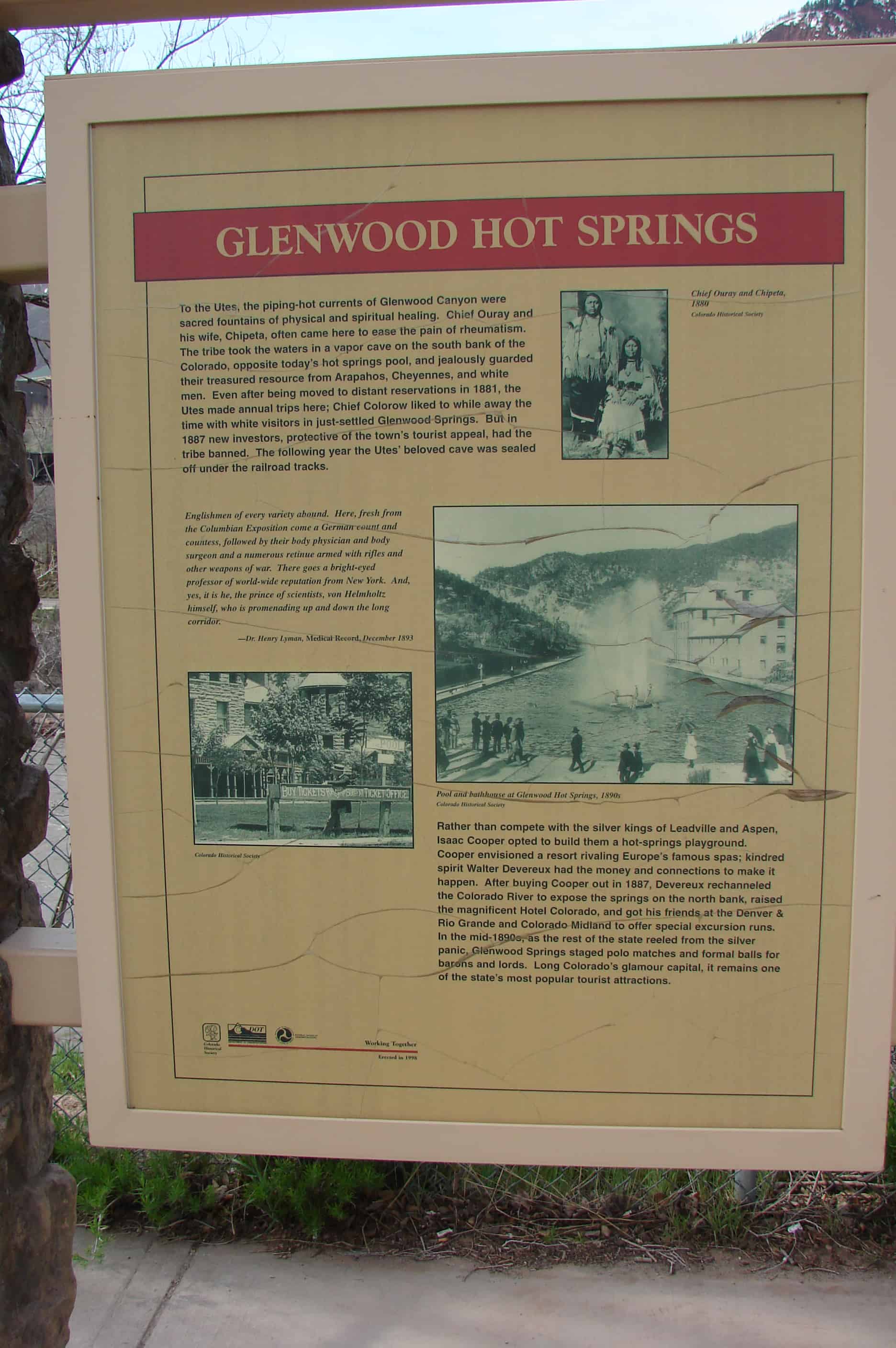
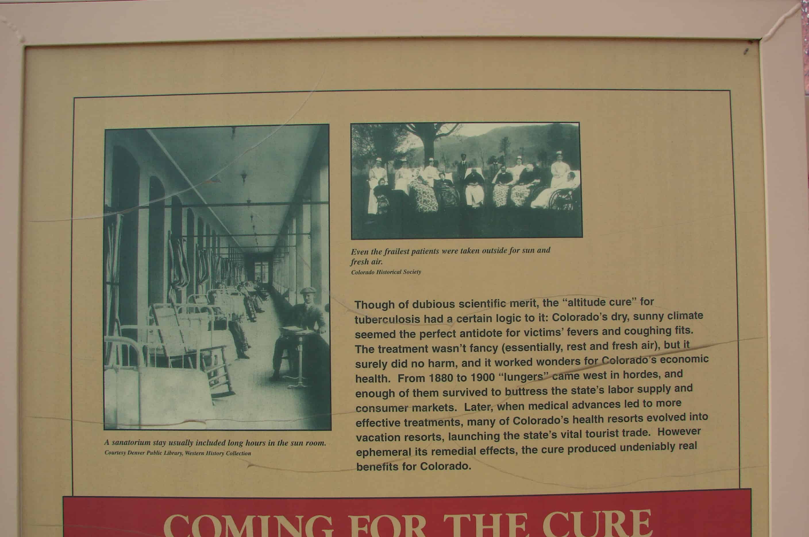
To the Utes, the piping-hot currents of Glenwood Canyon were sacred fountains of physical and spiritual healing. Chief Ouray and his wife, Chipeta, came often to ease the pain of rheumatism. The tribe took the waters in a vapor cave on the south bank of the Colorado, opposite today’s hot springs pool, and jealously guarded their treasured resource from Arapahos, Cheyennes, and white men. Even after being moved to distant reservations in 1881, the Utes made annual trips here; Chief Colorow liked to while away the time with white visitors in just-settled Glenwood Springs. But in 1887 new investors, protective of the town’s tourist appeal, had the tribe banned. The following year the Utes’ beloved cave was sealed off under the railroad tracks.

“Englishmen of every variety abound. Here, fresh from the Columbian Exposition come a German count and countess, followed by their body physician and body surgeon and a numerous retinue armed with rifles and other weapons of war. There goes a bright-eyed professor of world-wide reputation from New York. And, yes, it is he, the prince of scientists, von Helmhotz himself, who is promenading up and down the long corridor.” — Dr. Henry Lyman, December 1893, Medical Record

Rather than compete with the silver kings of Leadville and Aspen, Isaac Cooper opted to build them a hot-springs playground. Cooper envisioned a resort rivaling Europe’s famous spas; kindred spirit Walter Devereux had the money and connections to make it happen. After buying Cooper out in 1887, Devereux rechanneled the Colorado River to expose the springs on the north bank, raised the magnificent Hotel Colorado, and got his friends at the Denver & Rio Grande and Colorado Midland to offer special excursion runs. In the mid-1890s, as the rest of the state reeled from the Silver Panic, Glenwood Springs staged polo matches and formal balls for barons and lords. Long Colorado’s glamour capital, it remains one of the state’s most popular tourist attractions.

picture26apr08-005

Mossy Cave Trail

04 Tuesday Oct 2016

Posted by Jacob Barlow in Uncategorized

≈ 1 Comment

Tags

Bryce Canyon, Bryce Canyon National Park, Garfield County, Mossy Cave, National Parks, Tropic, utah

picture24jul07-151

picture24jul07-148

The Mossy Cave Trail in Bryce Canyon National Park.

This short trail takes hikers to a small overhang and a waterfall.

picture24jul07-149
picture24jul07-150

Ticaboo, Utah

25 Sunday Sep 2016

Posted by Jacob Barlow in Uncategorized

≈ Leave a comment

Tags

Garfield County, Hanksville, Lake Powell, Ticaboo, utah

2016-07-30-09-54-40

Ticaboo gets its name from Ticaboo Creek, which was named by Cass Hite in the 1880s, for a Paiute word meaning “friendly.”

The Ticaboo townsite is a master-planned community that was organized in the late 1970s to both provide housing to the then booming uranium mining industry in southeastern Garfield County, and tap into the tourism potential of nearby Lake Powell. The Ticaboo Resort was developed to provide accommodations to guests visiting the remote area as well as to encourage the development of a tourism base outside of Bullfrog in the northern Lake Powell area.

The first inhabitants of Ticaboo were Kayenta Anasazi. In October 1981, the Division of Utah State History conducted an excavation of a small settlement known as the Ticaboo Town Ruins, located directly west of the town of Ticaboo.

Ticaboo Resort is one of many master development lease holders tasked with the development of Ticaboo by the Utah School and Trust Lands Administration (SITLA). Previous master development lease holders have included mining companies who also owned mines in the Henry Mountain Complex, or the Shootaring Mill. Originally established in 1977, Plateau Resources Limited was the master development lease holder and constructed the infrastructure that still exists today for electric, water, and wastewater.

2016-07-30-09-55-38

Maidenwater Spring

23 Friday Sep 2016

Posted by Jacob Barlow in Uncategorized

≈ Leave a comment

Tags

Garfield County, Springs, utah

2016-07-30-09-09-00

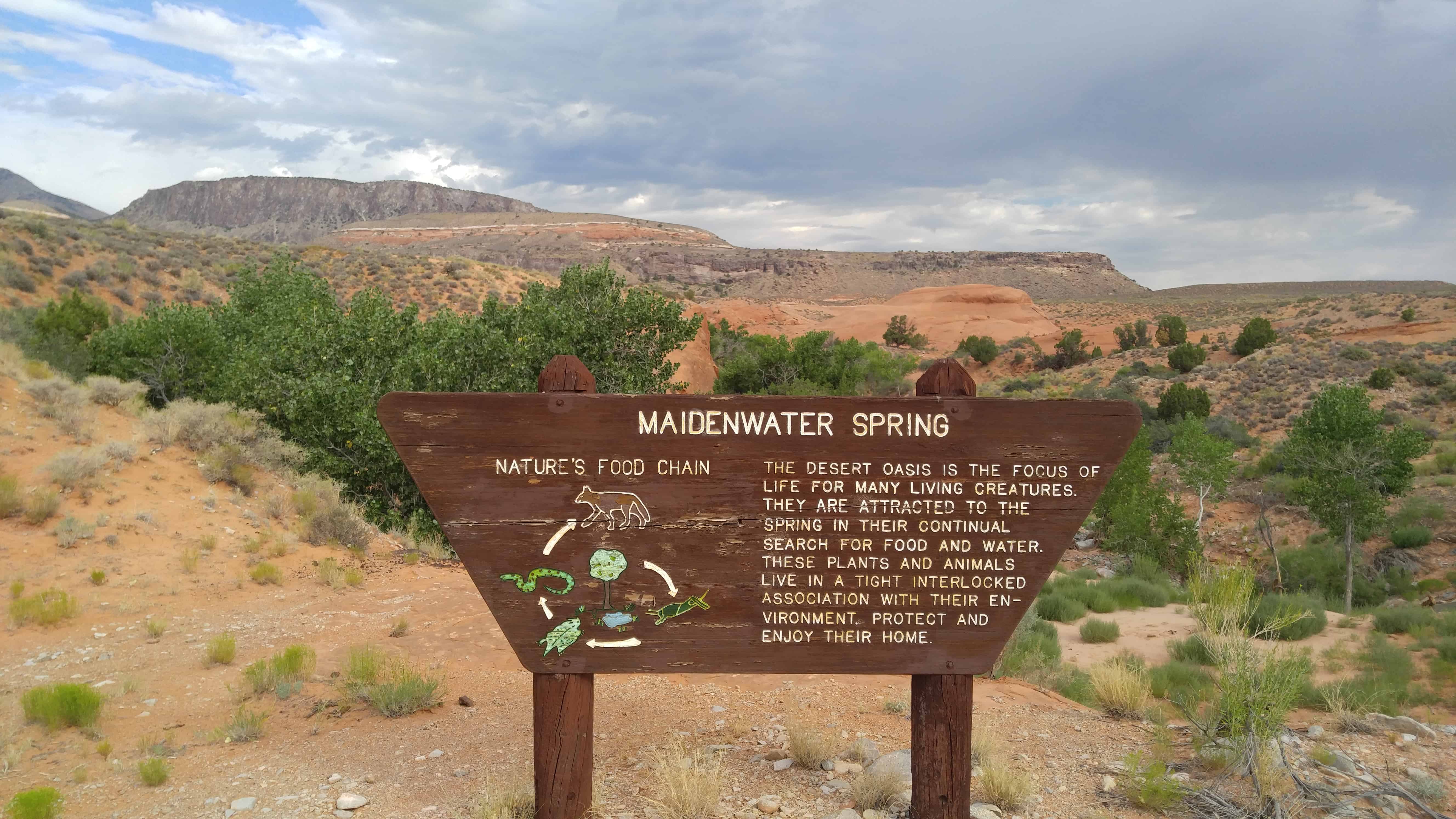
Maidenwater Spring – The desert oasis is the focus of life for many living creatures.  They are attracted to the spring in their continual search for food and water.  These plants and animals live in a tight interlocked association with their environment.  Protect and enjoy their home.

Just south of here is Maidenwater Canyon, slot canyons and amazing areas to explore.

2016-07-30-09-09-03
2016-07-30-09-09-05
2016-07-30-09-11-40
2016-07-30-09-11-47
2016-07-30-09-11-50


N 37.90736 W 110.57301

Hatch, Utah

18 Thursday Feb 2016

Posted by Jacob Barlow in Uncategorized

≈ 3 Comments

Tags

Garfield County, Hatch, utah

  • d9dd1059-5799-4c86-b711-ab094f05387d

Hatch Posts:

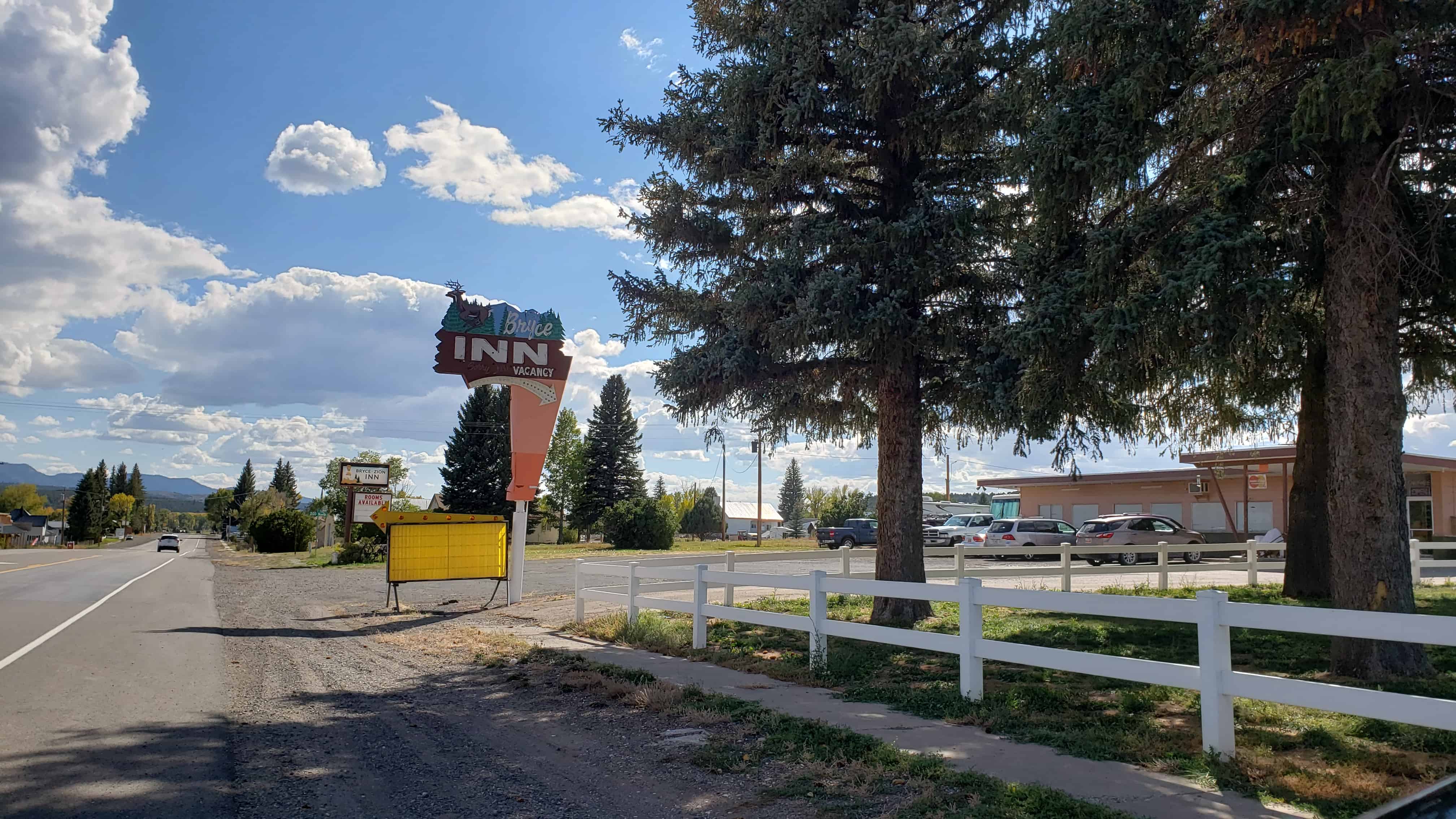
  • Bryce Zion Inn
  • The Galaxy Motel/Diner
  • Hatch Station
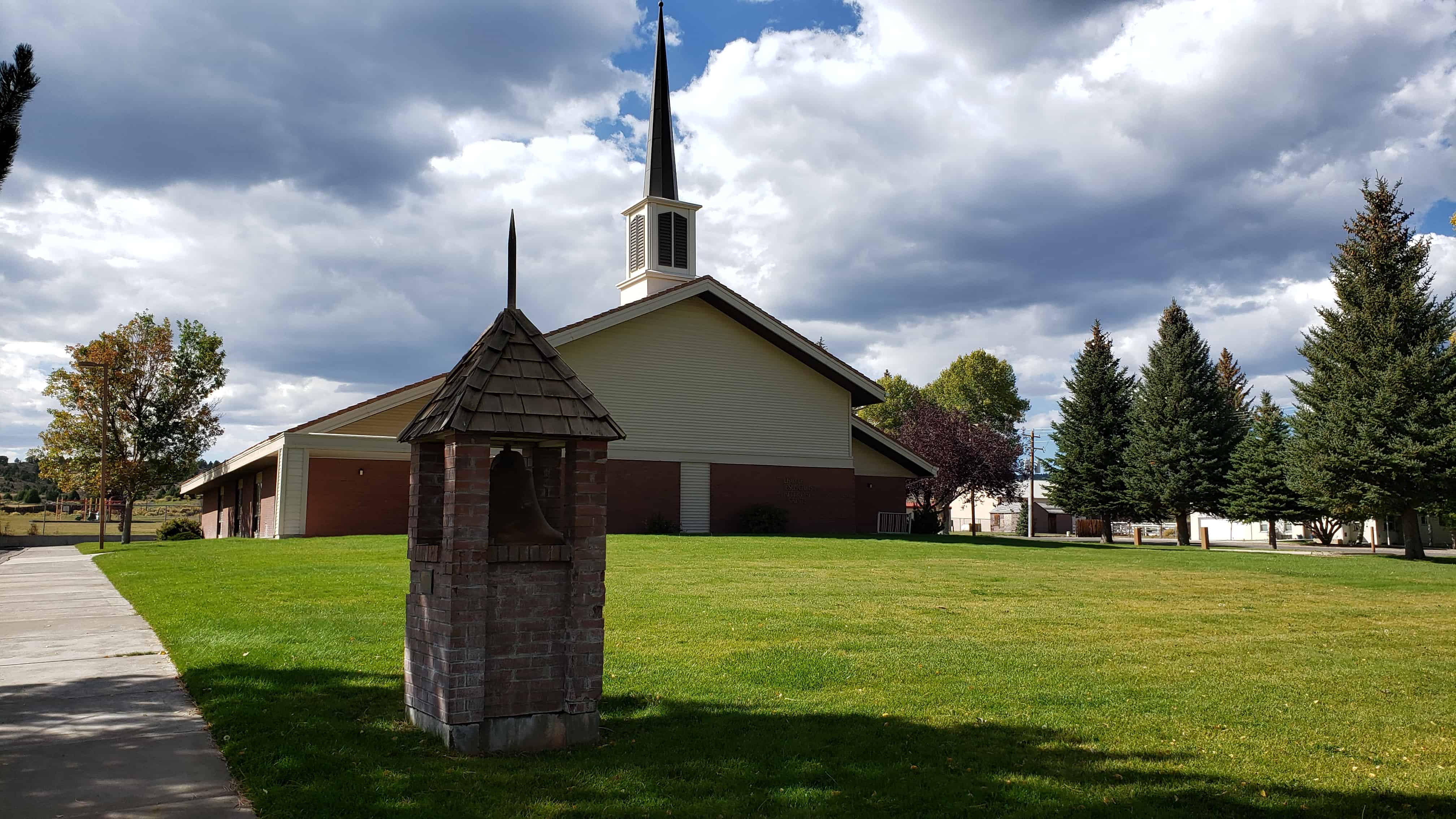
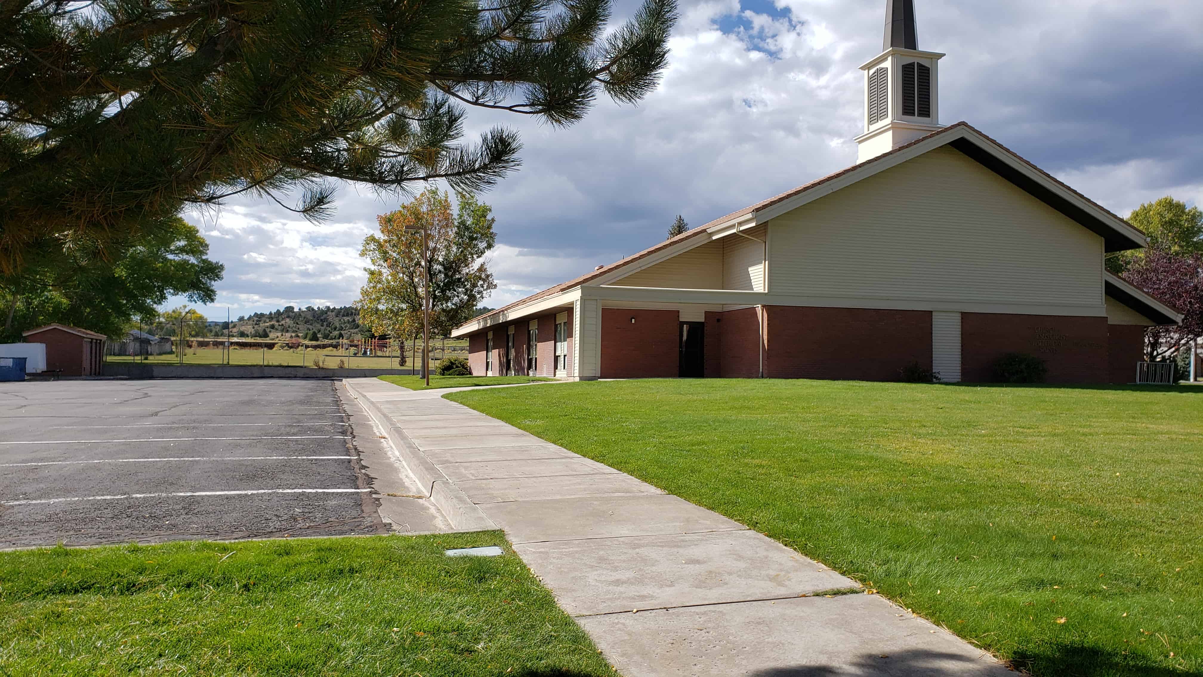
  • Hatch Ward Building & Bell
  • Settlement of Hatch
  •  
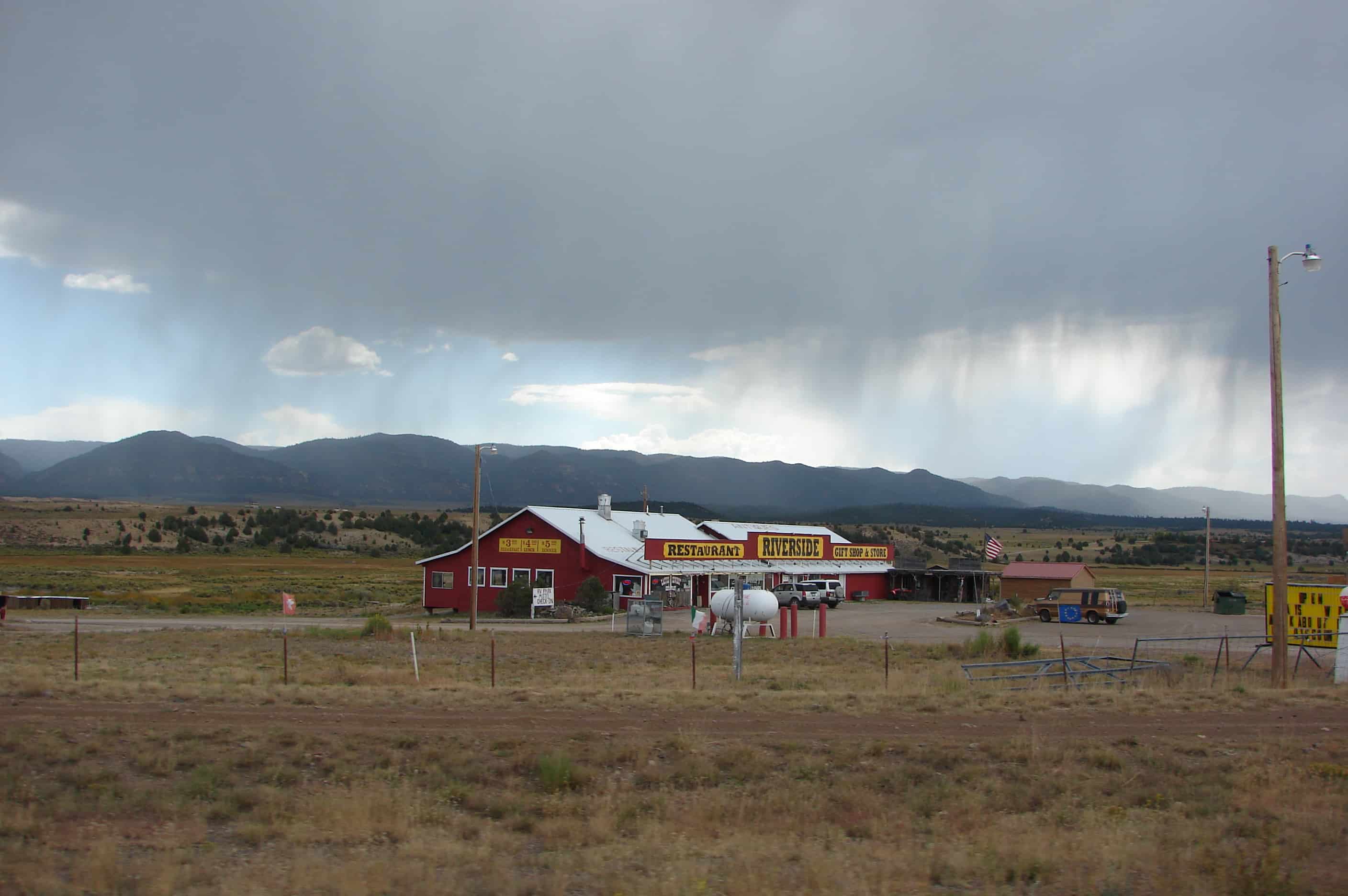
  • picture27sep08-024
  • picture27sep08-029
← Older posts
Newer posts →

Follow Jacob

Follow Jacob

Come wander with me on Youtube.

Blog Stats

  • 2,129,015 hits

Social and Other Links

BarlowLinks.com

Recent Posts

  • Utah Southern Railroad Depot
  • John Ford Point
  • William Capener House
  • Justus Wellington Seeley II House
  • Huntington Roller Mill and Miller’s House

Archives

Loading Comments...