Tags
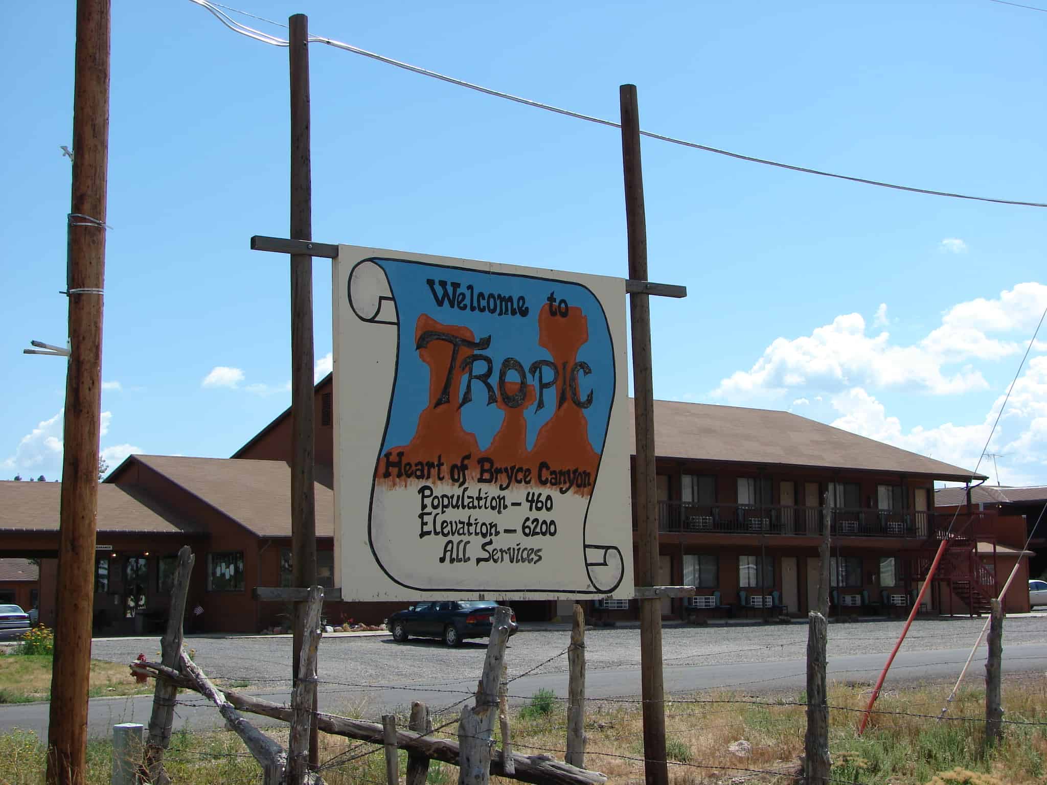
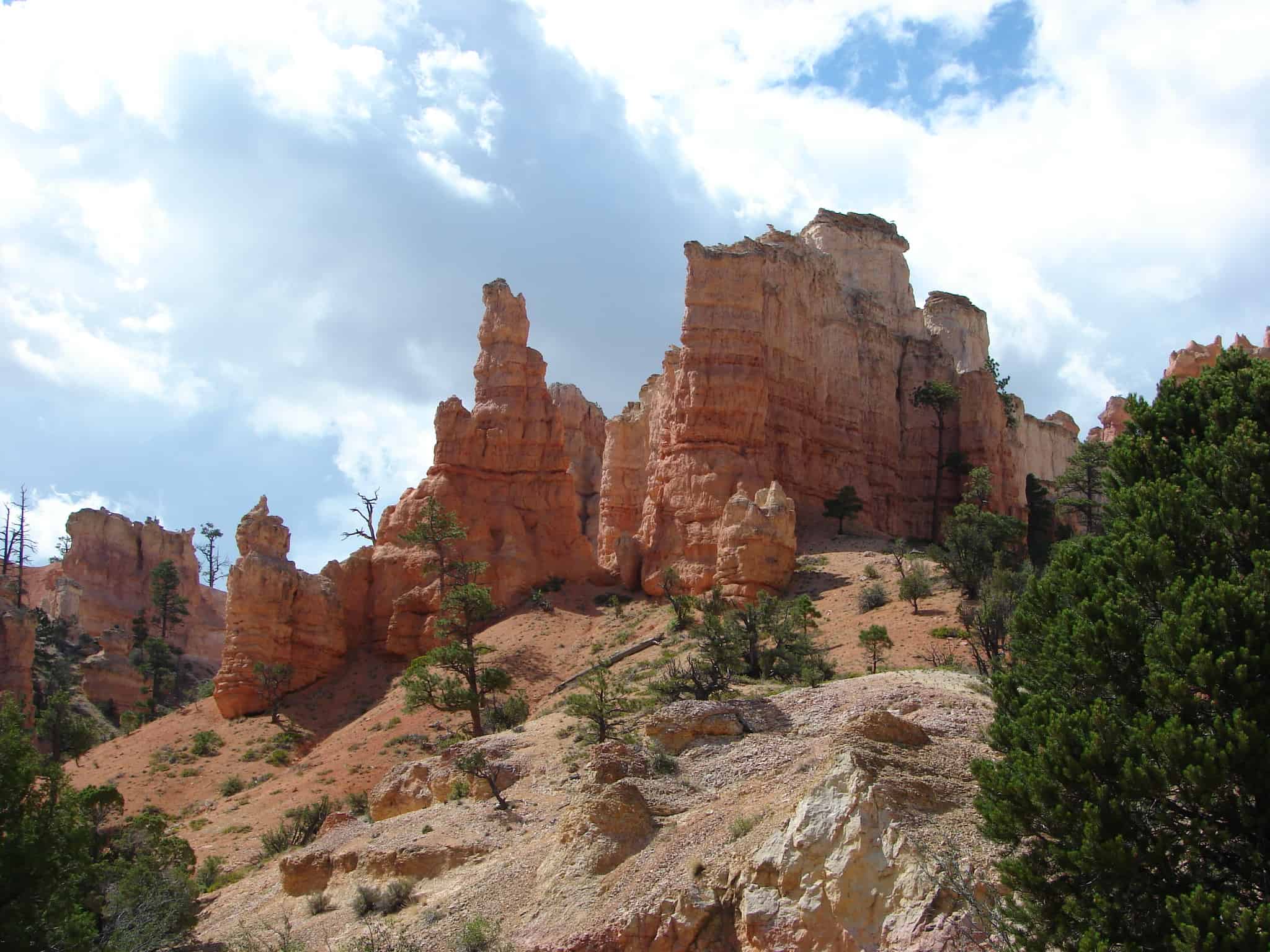
Tropic is on U-12, east of Bryce Canyon National Park. The original settlers came from Panguitch and named their new community Tropic because the region had a milder climate in comparison to Panguitch.
Tropic Posts:



10 Sunday May 2015
Posted in Uncategorized
Tags
Tropic is on U-12, east of Bryce Canyon National Park. The original settlers came from Panguitch and named their new community Tropic because the region had a milder climate in comparison to Panguitch.
Tropic Posts:
12 Friday Dec 2014
Posted in Uncategorized
Tags

Cannonville Posts:
Cannonville is a town in Garfield County along Utah Scenic Byway 12. In the 2000 census, the population was 148, a small increase over the 1990 figure of 131.
Cannonville is five miles south southeast of Tropic and one-half mile west of Henrieville. It was established in 1874 by James L. Thompson and others with their families. An early name was Clifton in recognition of the surrounding cliffs and rugged terrain. The name was changed to Cannonville for George Q. Cannon, a Mormon church official. It was humorously called Gunshot because it was not large enough to be a cannon.*


Click here to see other places in Utah.
10 Wednesday Dec 2014
Posted in Uncategorized
Tags

Boulder Posts:
Boulder is a town in Garfield County, Utah, United States, 27 miles (44 km) northeast of Escalante on Utah Scenic Byway 12 at its intersection with the Burr Trail. As of the 2000 census, the town population was 180, a modest increase over the 1990 figure of 126.
Boulder, quite isolated until the Civilian Conservation Corps built a road from Escalante, did not get electric power until 1947. The town marks the western terminus of Burr Trail, a mostly paved road that runs eastward through spectacular red rock country to the Waterpocket Fold in Grand Staircase-Escalante National Monument. Boulder is the home of Anasazi Indian State Park.


Click here to see other places in Utah.
26 Wednesday Nov 2014
Posted in Uncategorized

Henrieville is a town in Garfield County along Utah Scenic Byway 12. As of the 2000 census, the town population was 159.
Henrieville is three miles east east of Cannonville on U-12. The settlement was named for James Henrie, early Mormon settler and the first president of the Mormon Panguitch Stake. The first settlers arrived from Cannonville in 1878.


Click here to see the other places in Utah.
22 Tuesday Jul 2014
Posted in Uncategorized
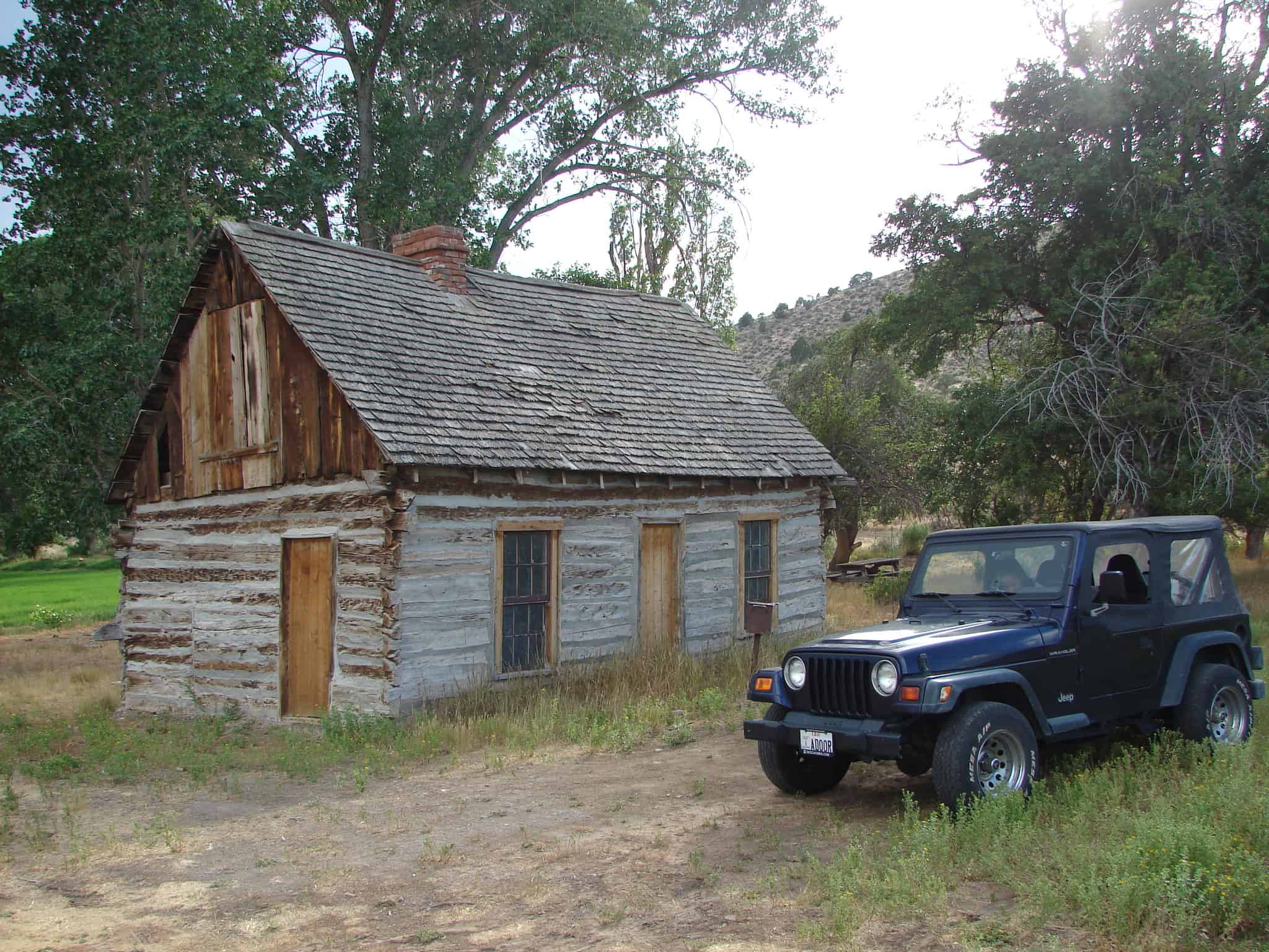
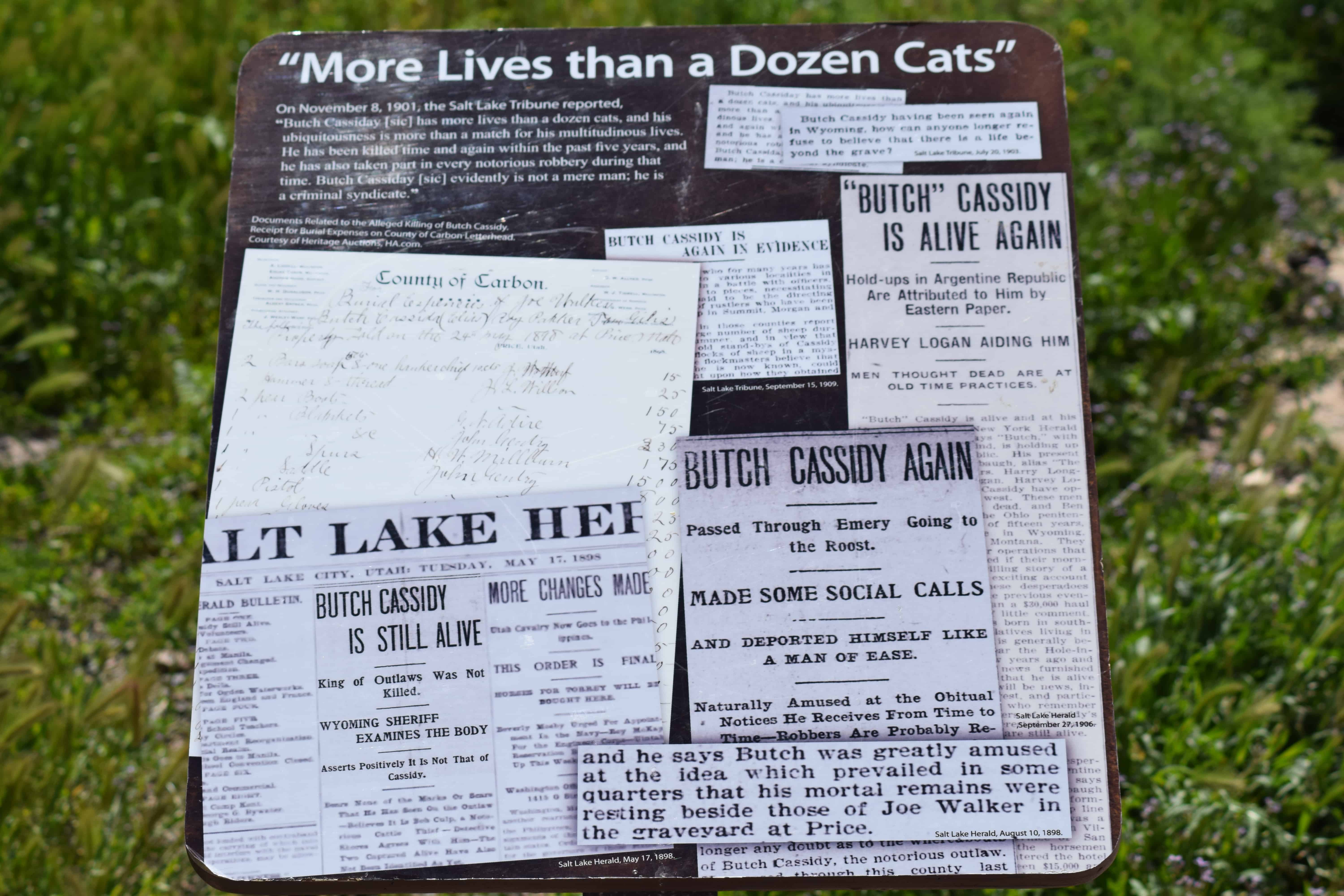
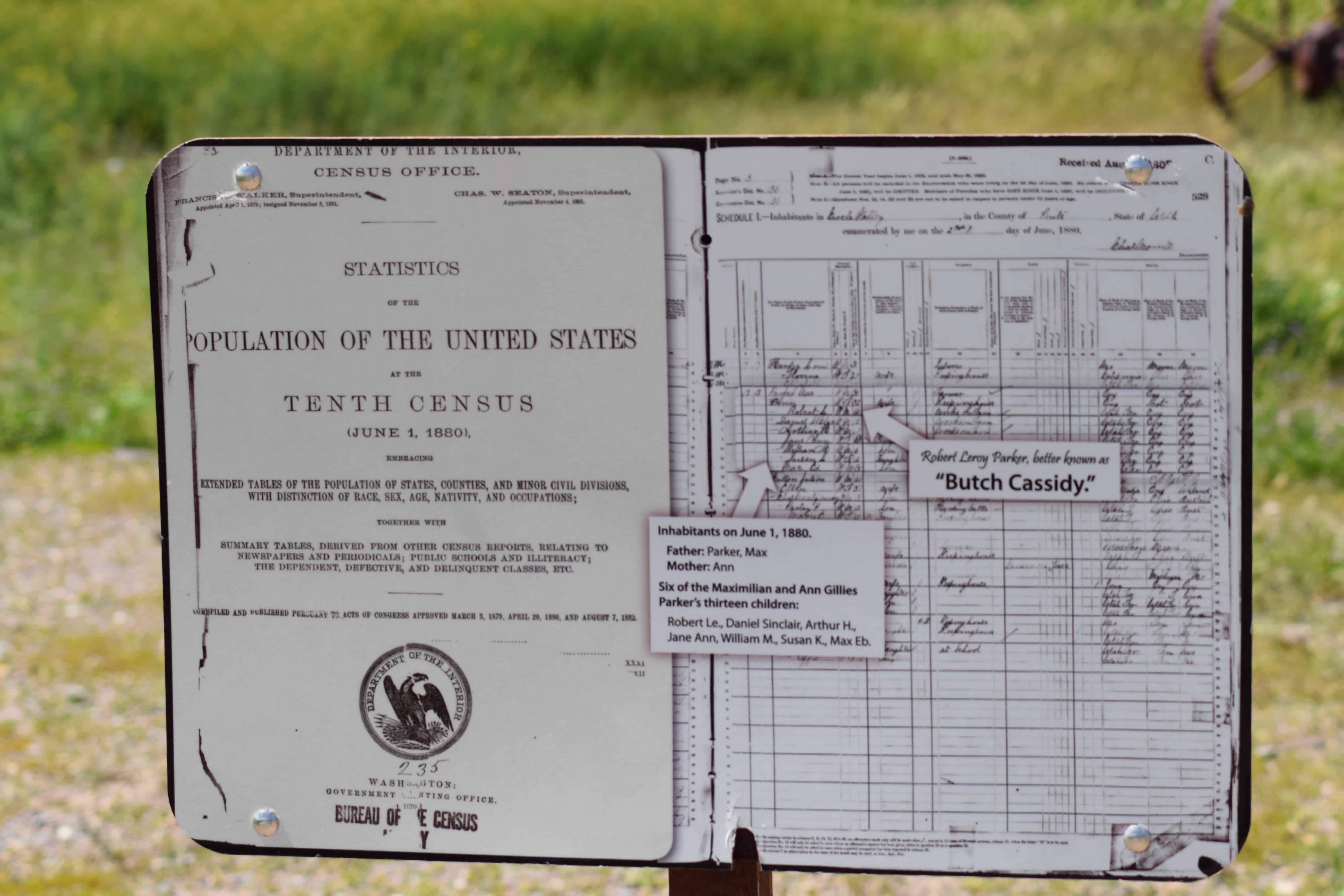
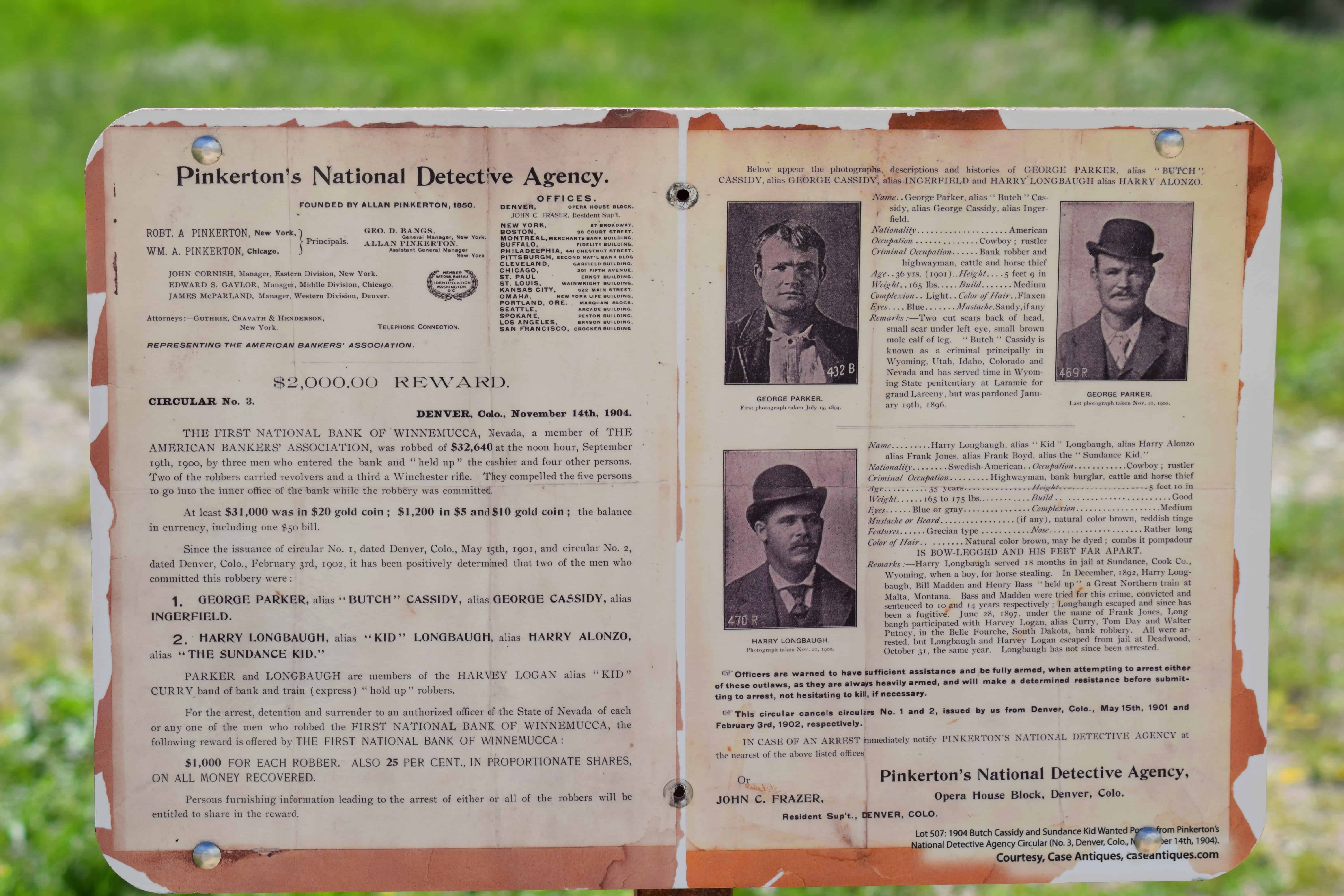
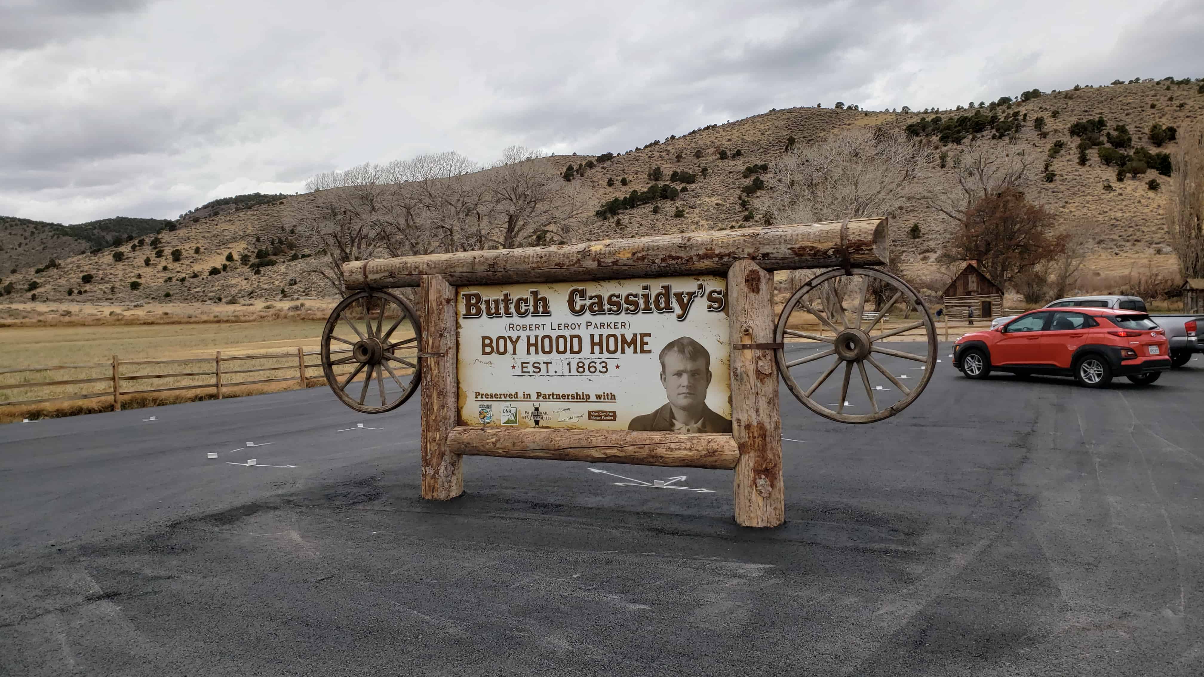
I’ve always been a huge fan of Robert LeRoy Parker (Butch Cassidy.)
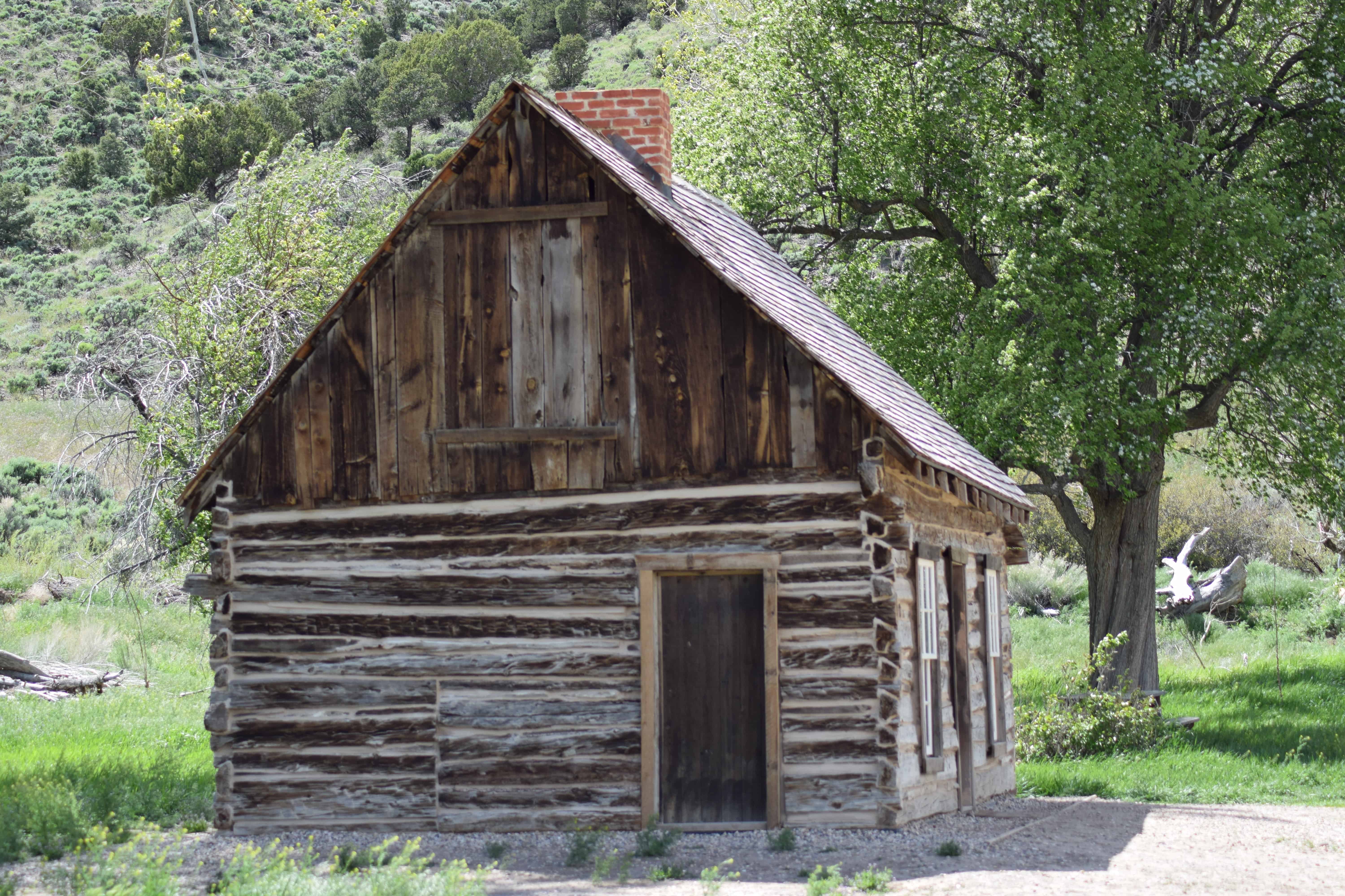
I’ve heard over the years that this was his childhood home, but I’ve heard that about a couple of places. Either way it’s fun to dream and they’ve transformed this from just a cabin in a field to a place with signs and a parking lot and officially calling it his boyhood home.
Location, N 38.14477 W 112.30479 (just south of Circleville, Utah)
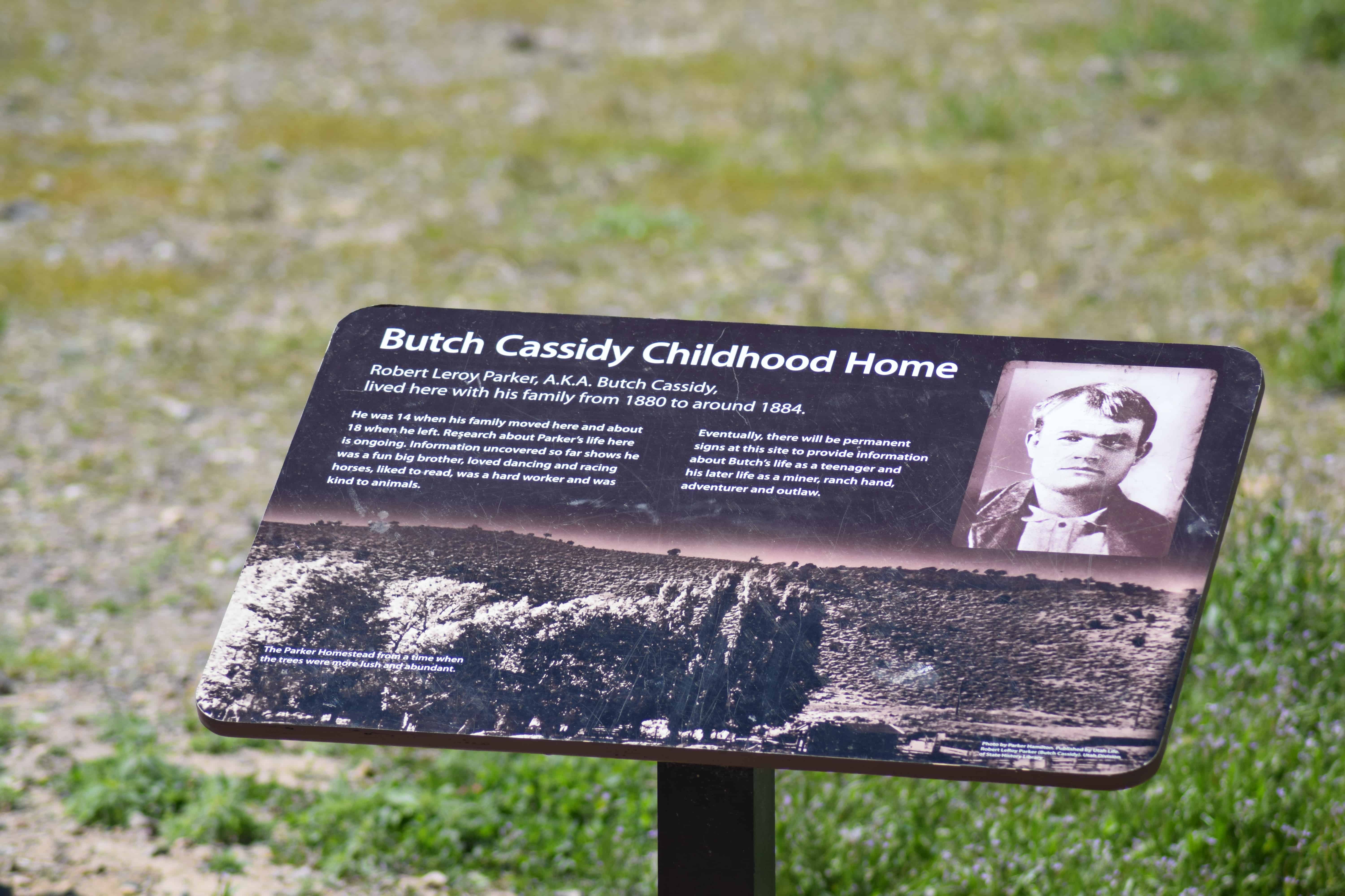
Text below from a a sign on site:
Butch Cassidy Childhood Home
Robert LeRoy Parker, A.K.A. Butch Cassidy, lived here with his family from 1880 to around 1884.
He was 14 when his family moved here and about 18 when he left. Research about Parker’s life here is ongoing. Information uncovered so far shows he was a fun big brother, loved dancing and racing horses, liked to read, was a hard worker and was kind to animals.
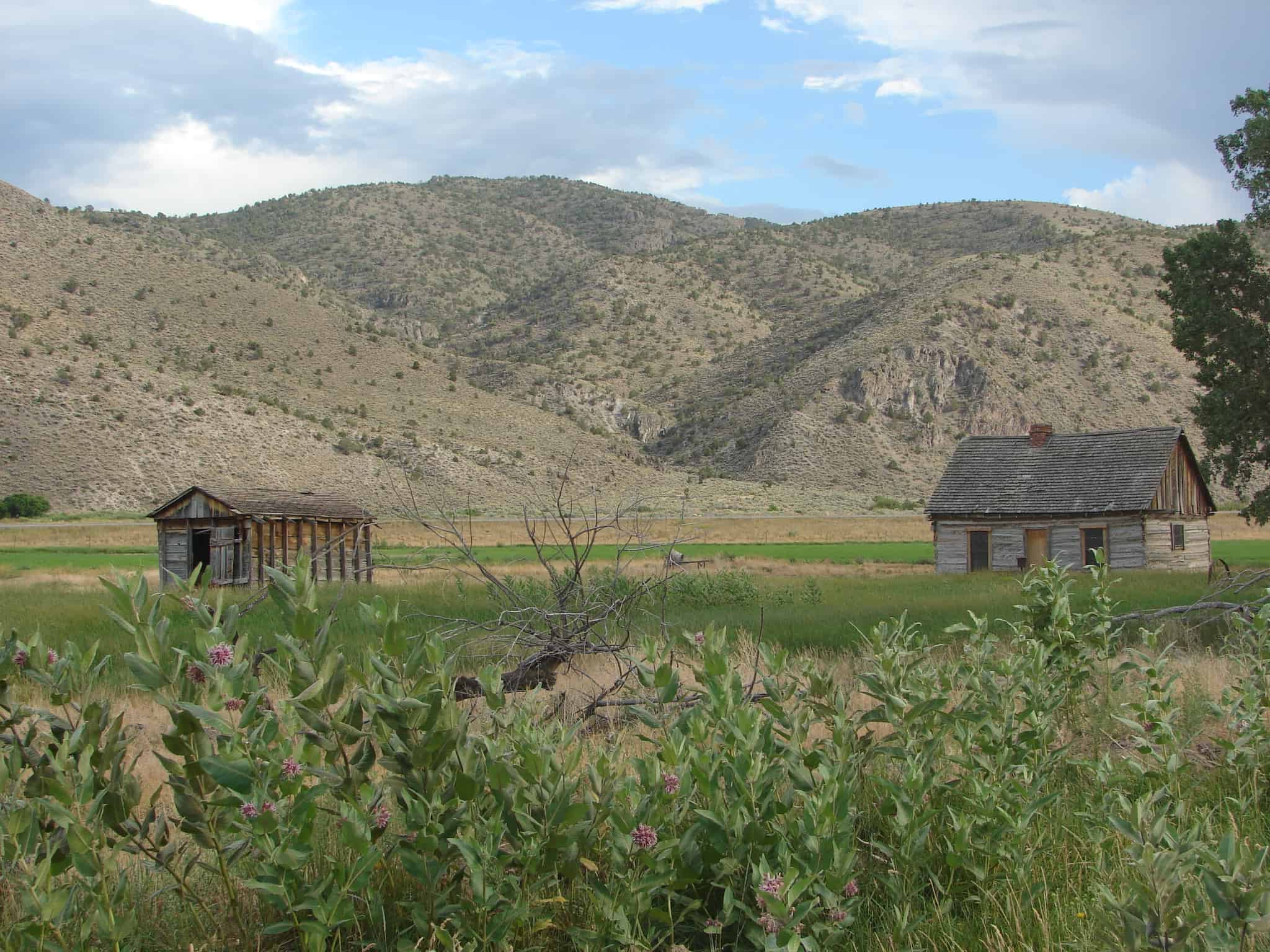


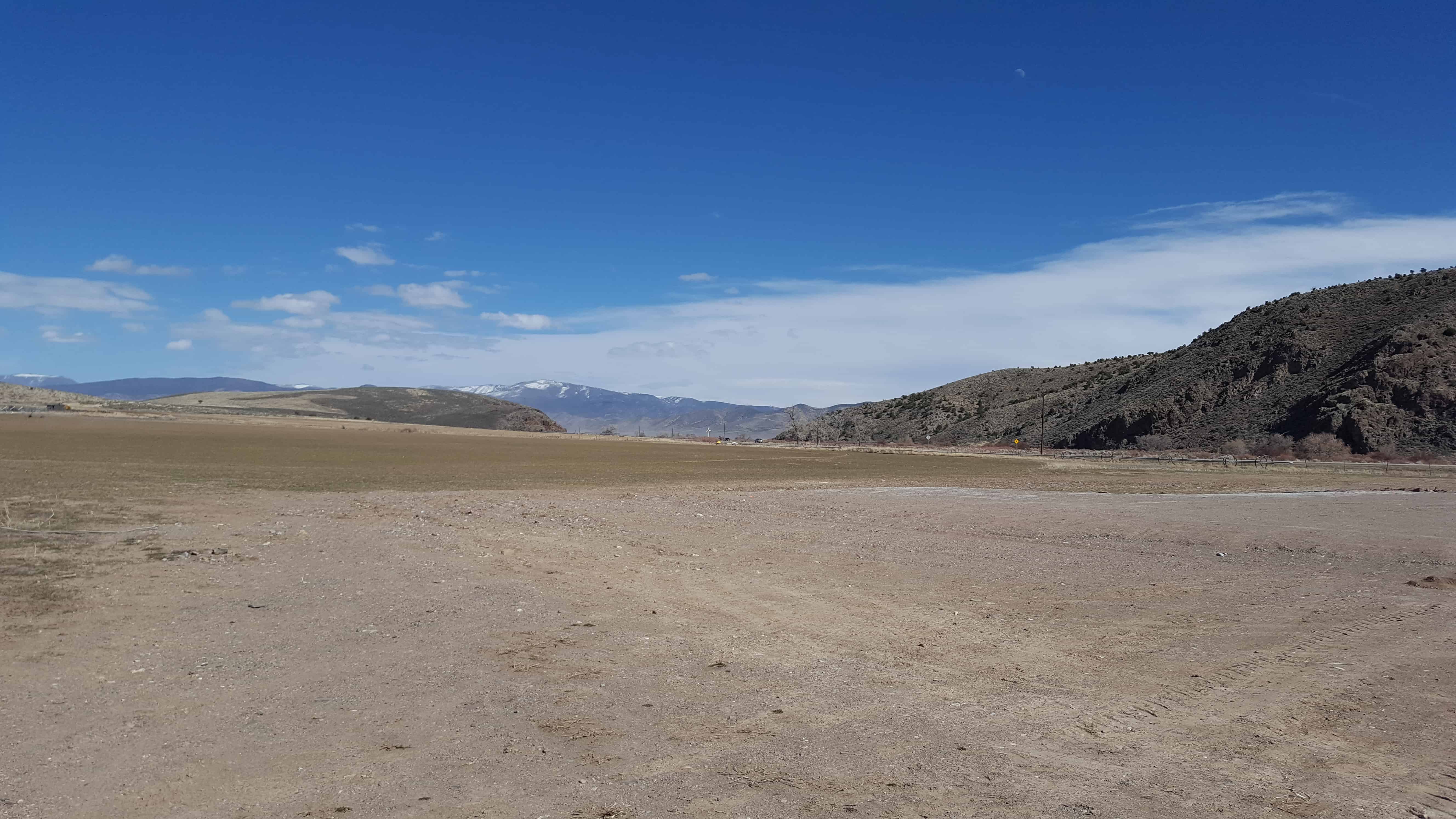


Update: 2019 – I stopped by again, they’ve really upgraded the place. They put in a bathroom, a parking lot with fencing around it, some old farm equipment and plaques and signs about Butch Cassidy. They’ve also closed up the cabin so you can’t just go in whenever you want like I could when I took the above photos.

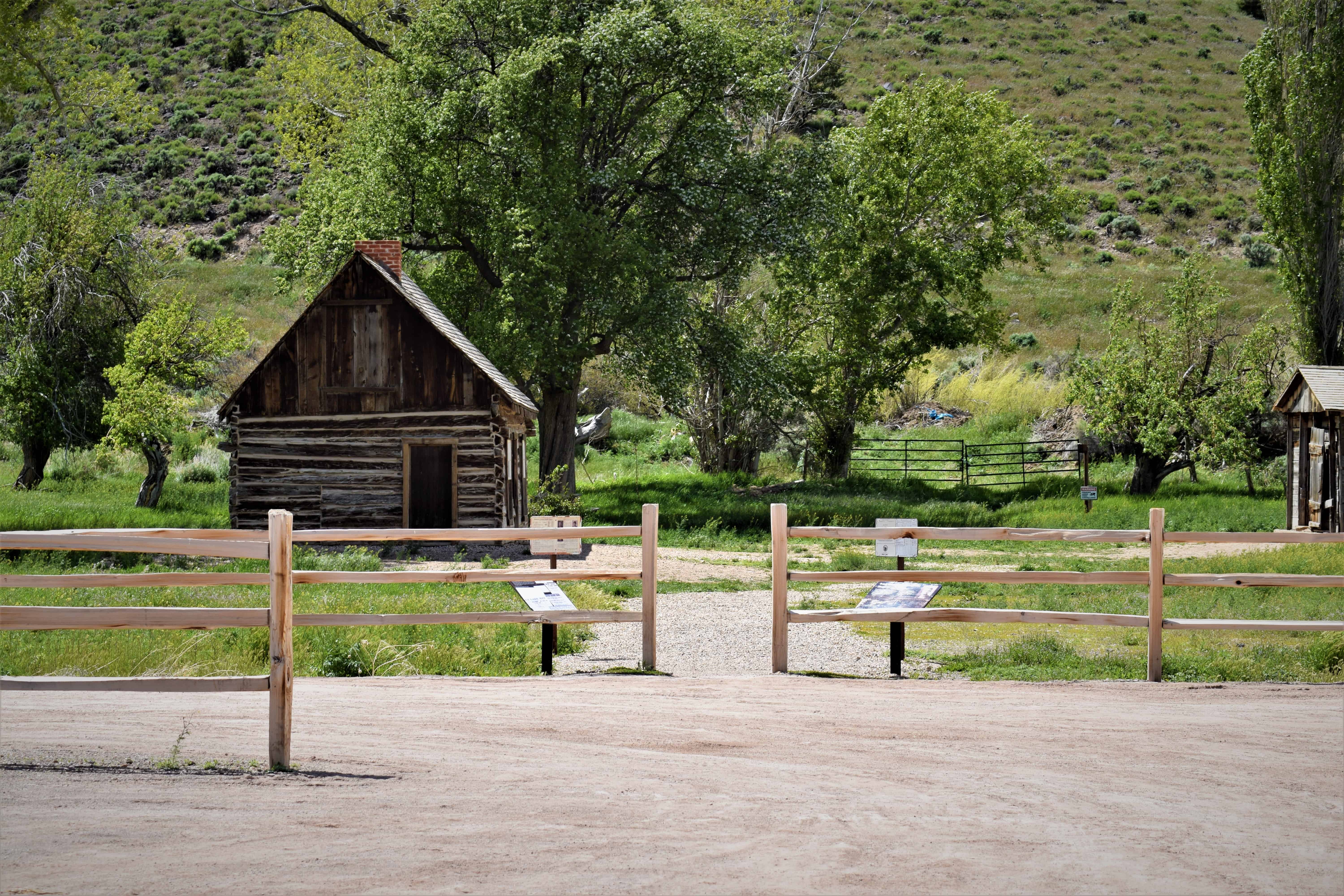

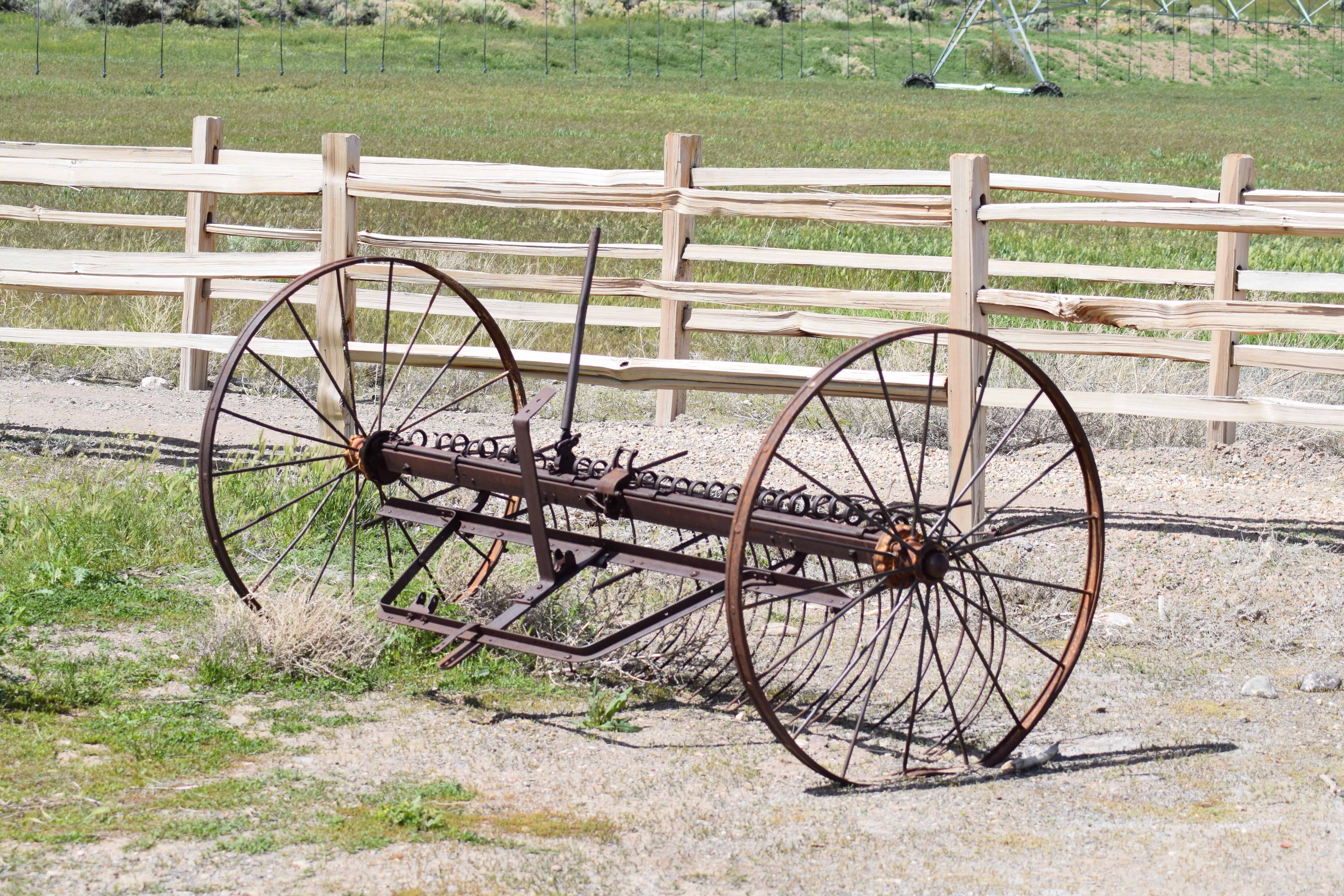



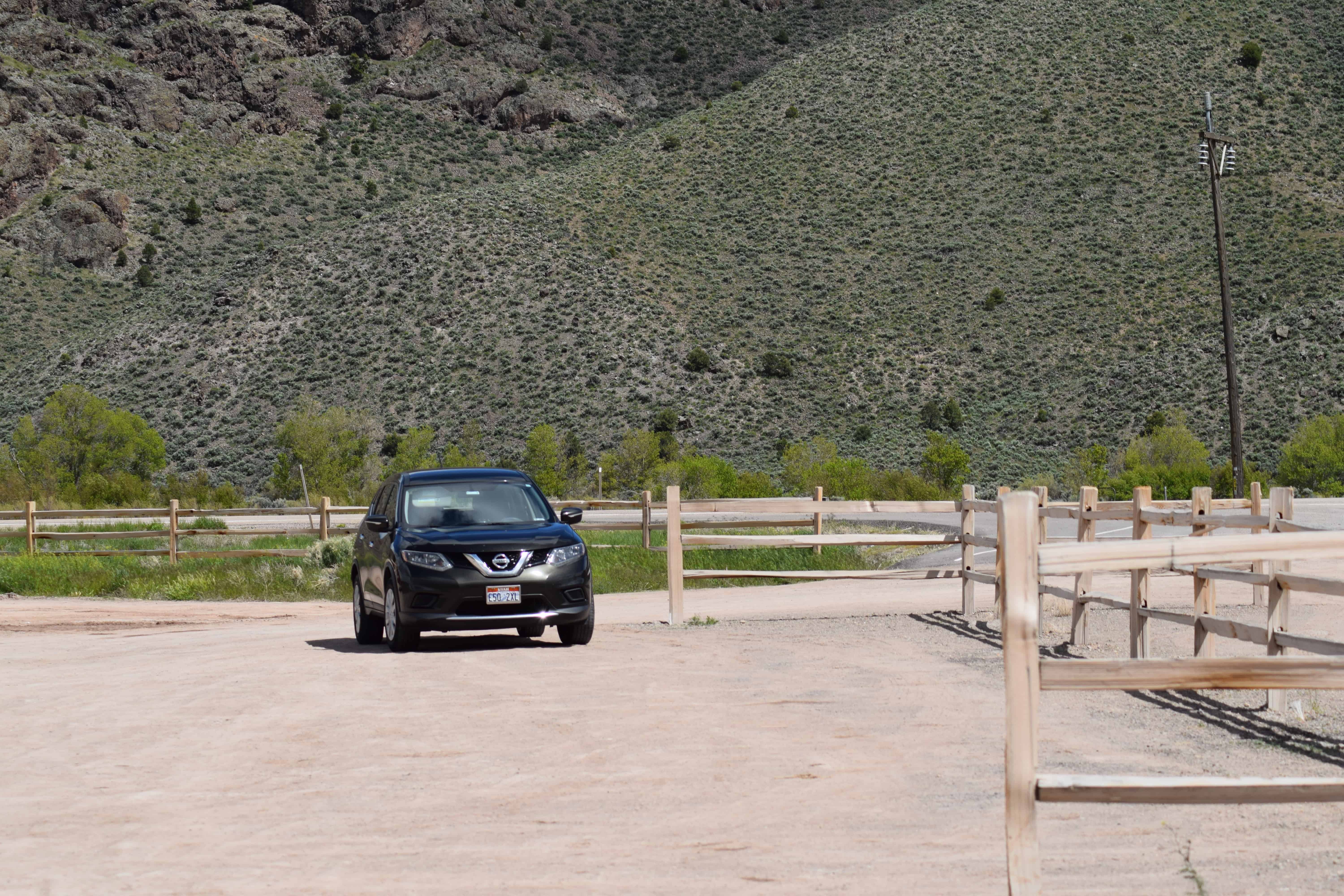
Update 2020:
They’ve upgrade even more, it’s come a long way from the cabin in the field I stopped by in 2007.



04 Wednesday Jun 2014
Posted in Uncategorized
Tags

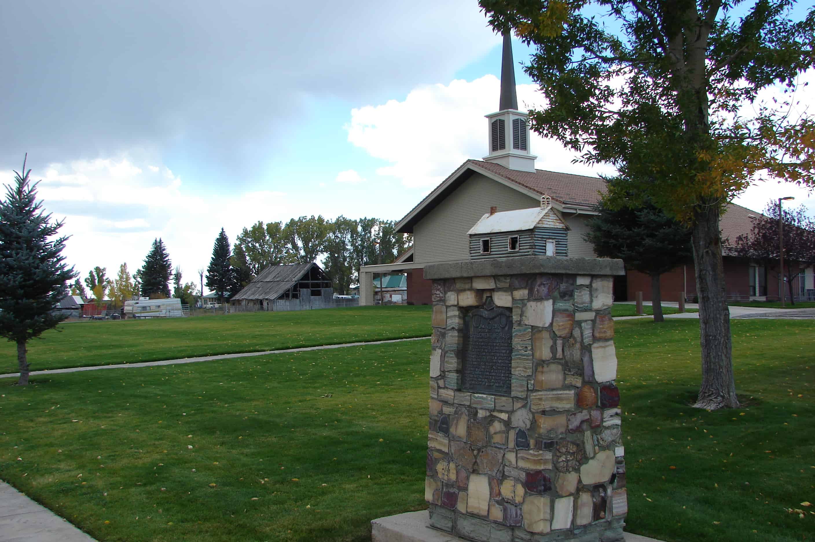
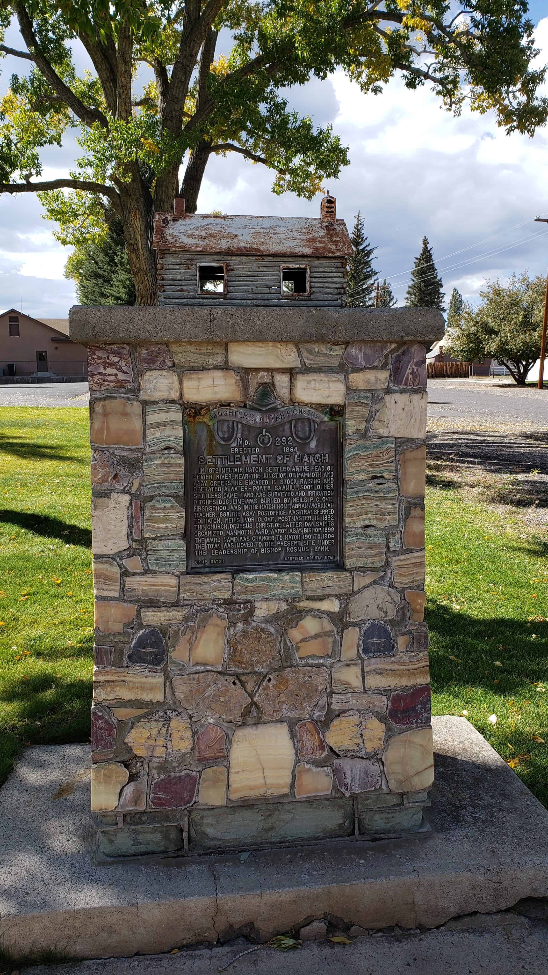
In 1872 Meltiar Hatch settled at the head of Sevier River, near the junction of Mammoth and Asay creeks. He engaged in stock raising and operated a water-power sawmill. Soon other settlers came. Land was surveyed and irrigation ditches dug. Lime was burned by Neils P. Clove. First school was in the Hatch home, Abram Workman teacher. 1888 the Asay post office was transferred to Hatch, Neils Ivor Clove, Postmaster. In 1892 the Church of Jesus Christ of Latter-day Saints organized Mammoth Ward, Aaron Asay, Bishop. 1899
the Ward name was changed to Hatch. 1901 to 1904 the town was moved to the present site under the leadership of Bishop Rosmus Lynn.





20 Monday Jan 2014
Posted in Uncategorized
Tags

This structure, the second public building in Escalante, was erected in 1884 of native stone by Mormon pioneers under the direction of Bishop Andrew P. Schow, Edwin Twitchell and Thomas Heaps. The stone mason was Morgan Richards. It was used to receive and house the tithing of the people, which was paid in kind and consisted chiefly of produce from the farms and gardens. Potatoes and perishable foods were stored in the basement. The building is now used as a D.U.P. Relic Hall.


20 Monday Jan 2014
Posted in Uncategorized
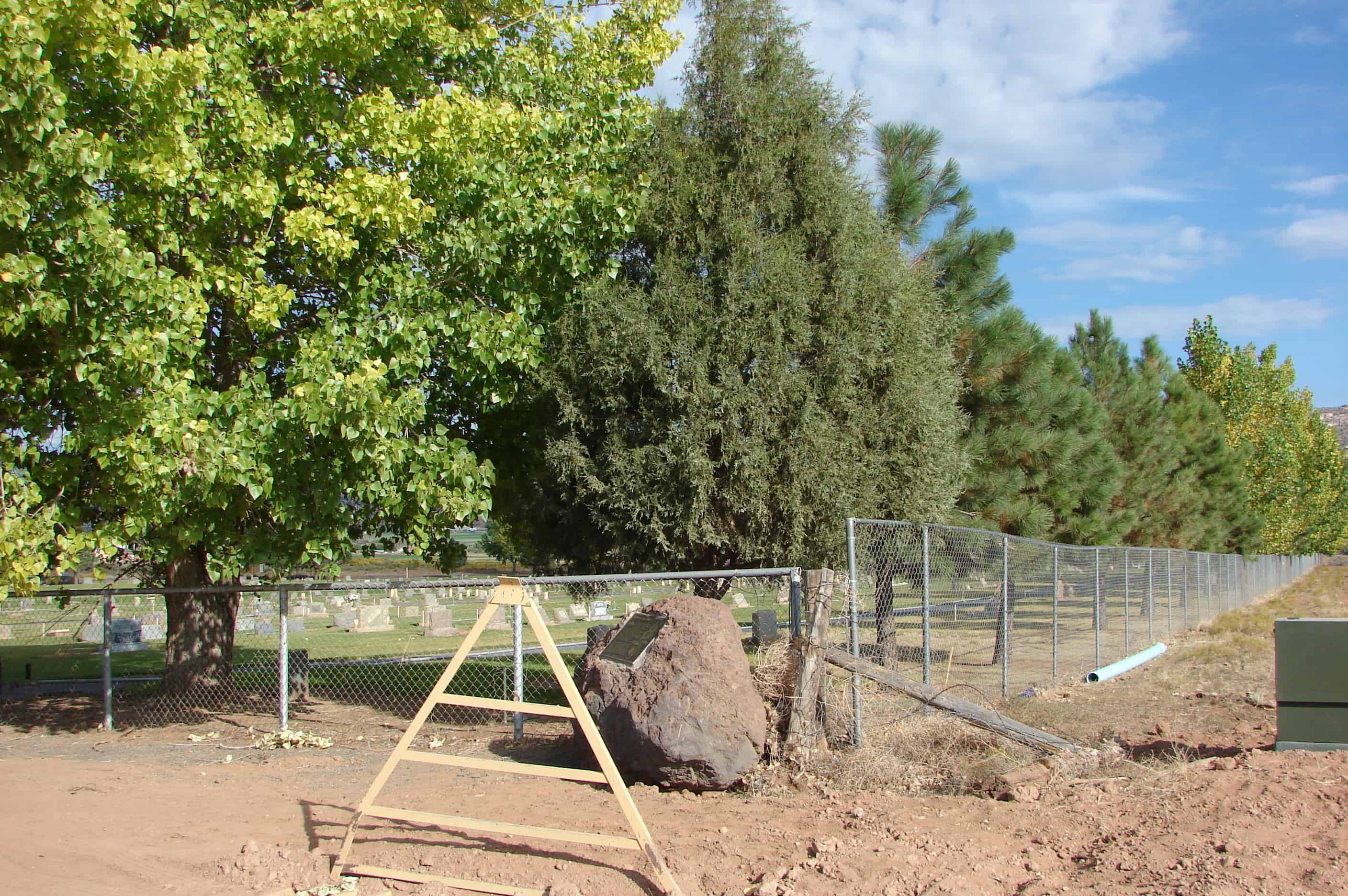
The isolated trails between Boulder and Escalante, Utah, were important in the history of the two towns. The foot trail, used by Indians for centuries, connected the two areas and was known as the Death Hollow Trail. Mules, horses, or people traversed this steep and dangerous area.
In 1902 a contract at $200 per year by the U.S. Postal Service was given to James Schow for the twice-weekly mail delivery over the shorter Indian trail. He used two to ten mules to carry mail, medicine, and occasional travelers. This Old Boulder Mail Trail left Escalante, crossed the creek, and climbed the hill on the white rocks seen just above the dark ridge. In some places steps were cut into the rocks. At the top of the hill, going was easier across the Antone Flat, then became more perilous at the famous descent into Death Hollow. The trail crossed Mamie Creek and Sand Creek, then arrived at New Home Bench where mail for Salt Gulch was left in a wooden box nailed to a tree.
In 1910 the U.S. Forest Service ran a telephone line along the trail to Boulder, attaching the wires to rocks and trees. Some of the glass insulators can still be seen in the treetops. In 1924 Parcel Post became available, and the mules carried in sewing machines, boots, pots, pans, machine parts, and cans of cream which were sent on to the creamery.
In the early 1930s, the Civilian Conservation Corps built better roads, and when the Hell’s Backbone Bridge was completed, this mail trail was unnecessary. The trail was still a shortcut and was often used by young men hurrying to a dance in either town. This monument is a tribute to those who endured the trail.

17 Friday Jan 2014
Posted in Uncategorized
Tags

Clifton (Loseeville) was situated in East Valley one mile east of the Pahreah River and four miles north of Cannonville. The first settlers were Ebenezer Bryce in 1876 and Daniel Goulding in 1878. They built a ditch to bring water to the valley from Pine Creek which rises on the west side of the Escalante Mountain. Within five years both men grew discouraged and moved.
The first permanent settlers came in 1886. Because there was another Clifton in the state, the name of the town was changed to Loseeville after early settler Isaac H. Losee. Church meetings and a school were started for the twenty or more families who made Loseeville their home.
In 1891, the Clifton Irrigation Company was organized to regulate the use of Pine Creek and Henderson Canyon water. Within ten years, the unreliable water supply and drought forced the people to abandon the town.
Today, only a few old buildings and this small cemetery remain. The picturesque spot north of this marker contains several unidentified and seven identified graves with the earliest dated in 1889. The seven are: Isadora Allen, Elizabeth Richards, Thomas Elwin Smith, Isaac Huff Losee, Sarah Gilbert Losee, Eliza Jane Losee Cox, John G. Losee.
Productive farms in the valley are now irrigated with water from East Fork and Henderson Canyon.


18 Wednesday Dec 2013
Posted in Uncategorized
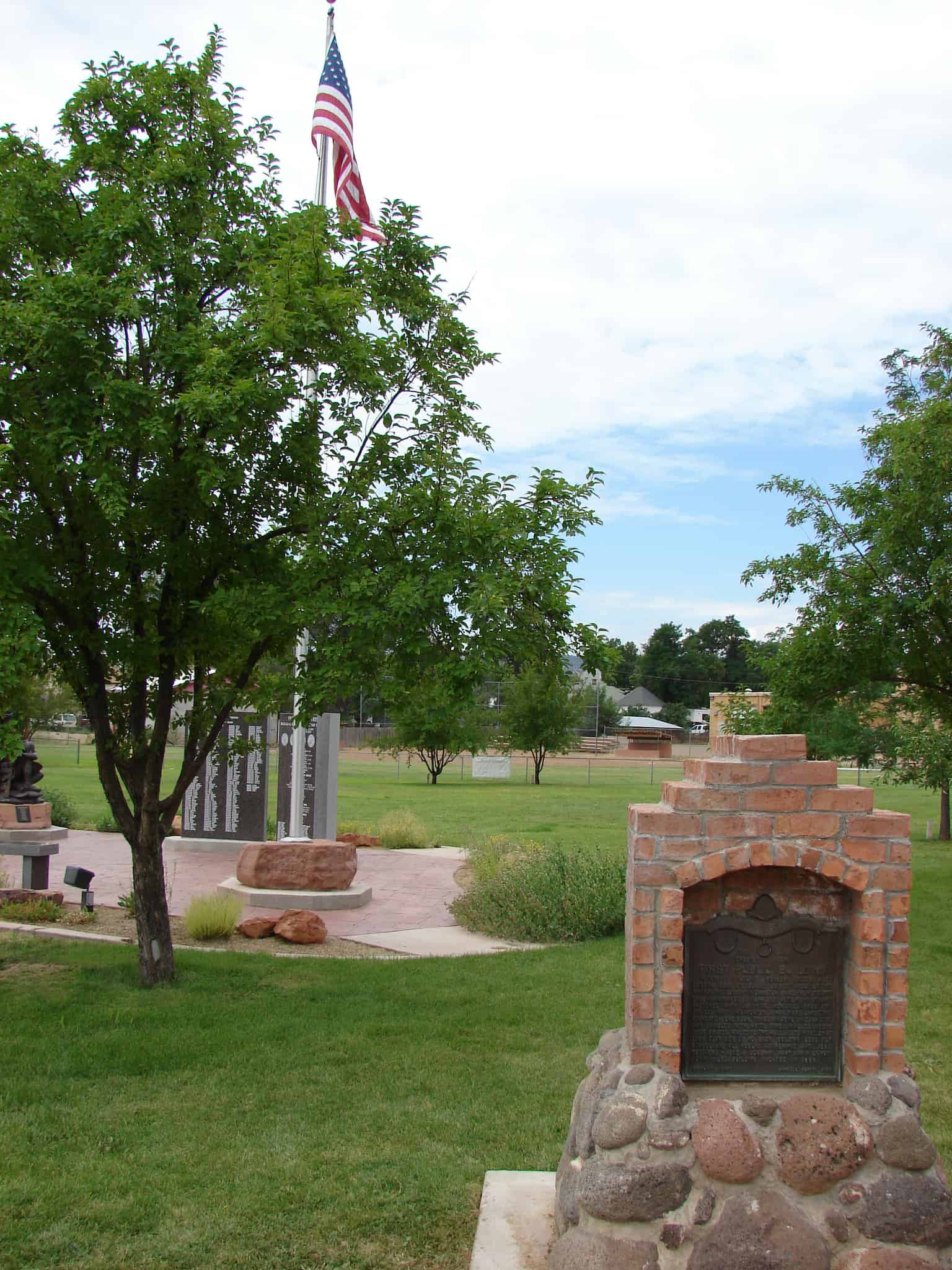
In 1876-77 Escalante Pioneers erected a log building, 36×18 ft., located 20 feet west of this marker. The logs 18″ in diameter, came from Cyclone Lake Mountain by ox team. They were hewn by hand, fastened with oak pins, morticed ends and chinked with lime mortar. It had white sandstone foundation, one door, three windows on each side, and shingled with white pine shingles. Desks were boards hinged to the wall. Seats were split logs, flat side up, no back. Building used for school and all public gatherings until 1885. Teachers – Jane S. Coleman, Mary Ann P. Schow, John Miles. Building vacated in 1898.

Other DUP Markers are listed at JacobBarlow.com/dup