Tags

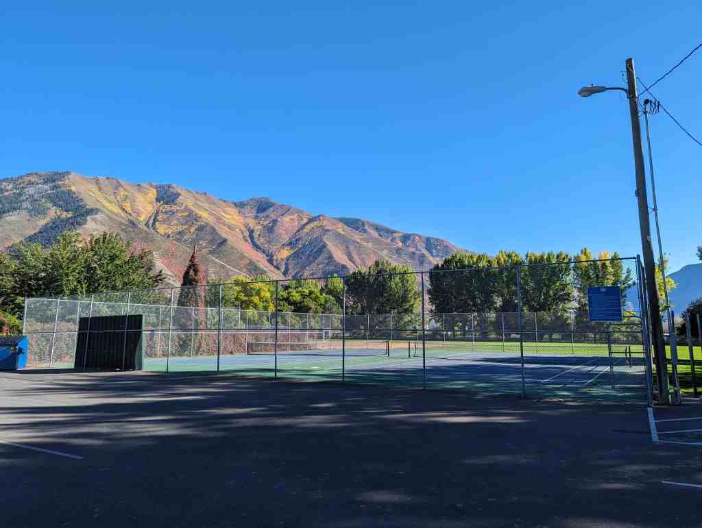
Mapleton City Park.
Related Posts:
- Historic Town Square
- Mapleton, Utah
- The Roswell Darius Bird Home/Mapleton Heritage Museum.
- Scarecrow Spectacular


Mapleton School Bell – 1907/1932


Veterans Memorial


19 Saturday Nov 2016
Posted in Uncategorized
Tags
Mapleton City Park.
Related Posts:
Mapleton School Bell – 1907/1932
Veterans Memorial
19 Saturday Nov 2016
Posted in Uncategorized
11 Tuesday Oct 2016
Posted in Uncategorized
Tags

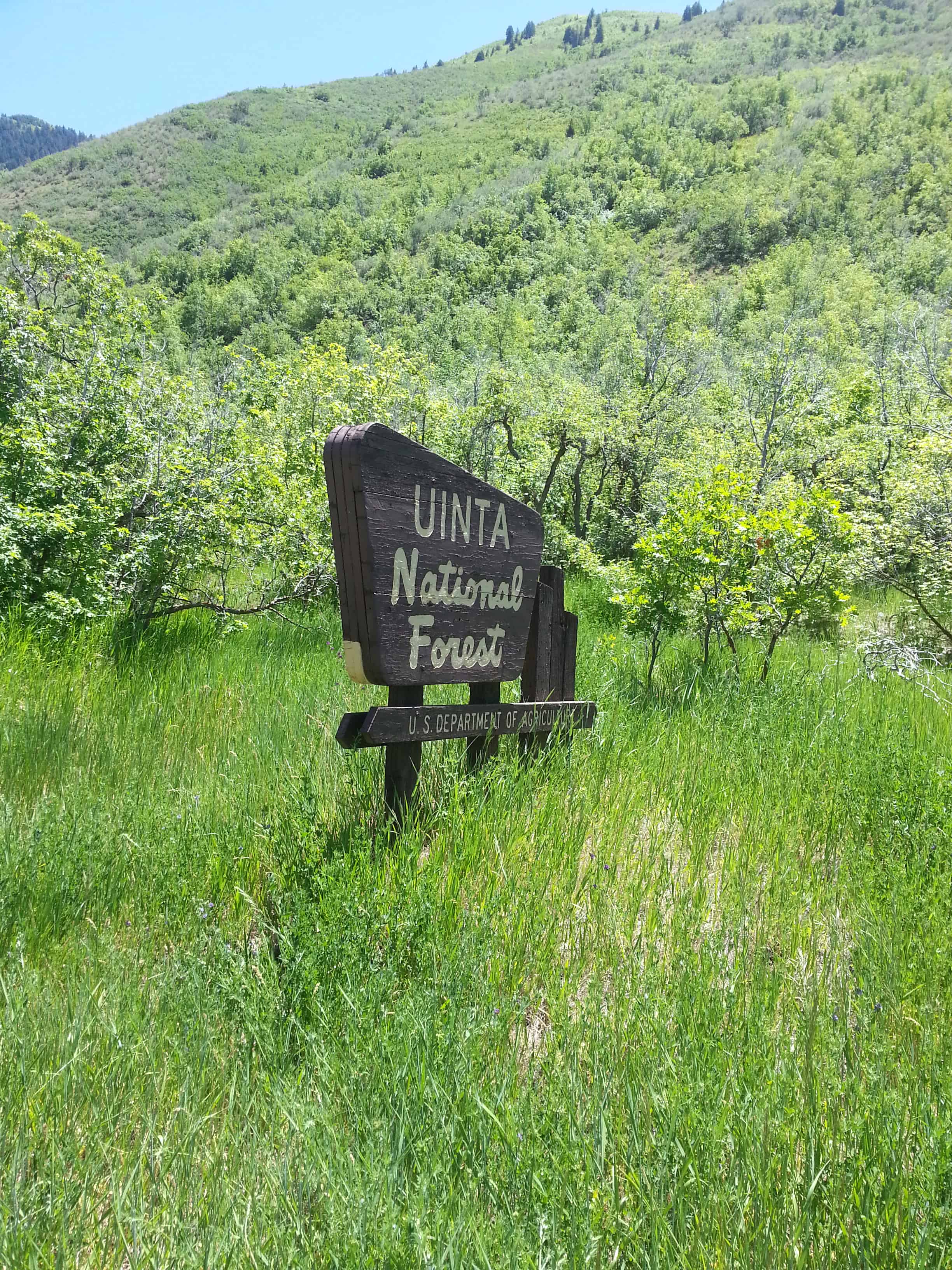
There’s a trail that parallels the road going up the Canyon, it’s an access trail to the Great Western Trail and is popular for hiking, biking and horseback riding.
We always called it Maple Canyon growing up here but I’ve heard it called Mapleton Canyon too and the maps don’t say either one.


30 Friday Sep 2016
Posted in Uncategorized
Tags
Mapleton, Movie Locations, Movies, Provo, Springville, utah, utah county


Located at 595 N Main Street, Mapleton, Utah, this is the filming location for the scenes set at Sheriff Clayton’s house in the movie Brigham City.
For other Brigham City filming locations visit this page.
For other Movies visit this page.


23 Tuesday Aug 2016
Posted in Uncategorized
Tags
Benchmarks, Hiking, Maple Mountain, Mapleton, spanish fork, Spanish Fork Peak, Springville, utah, utah county
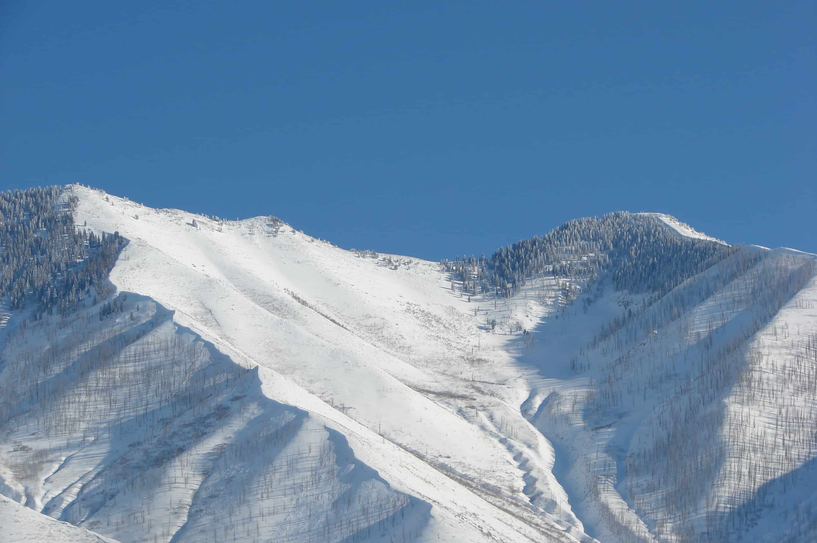
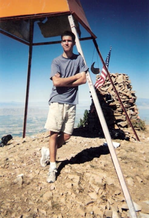
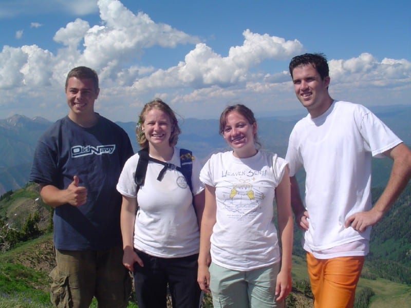
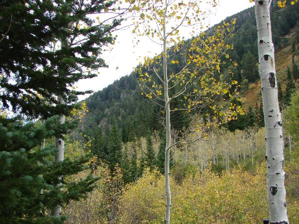
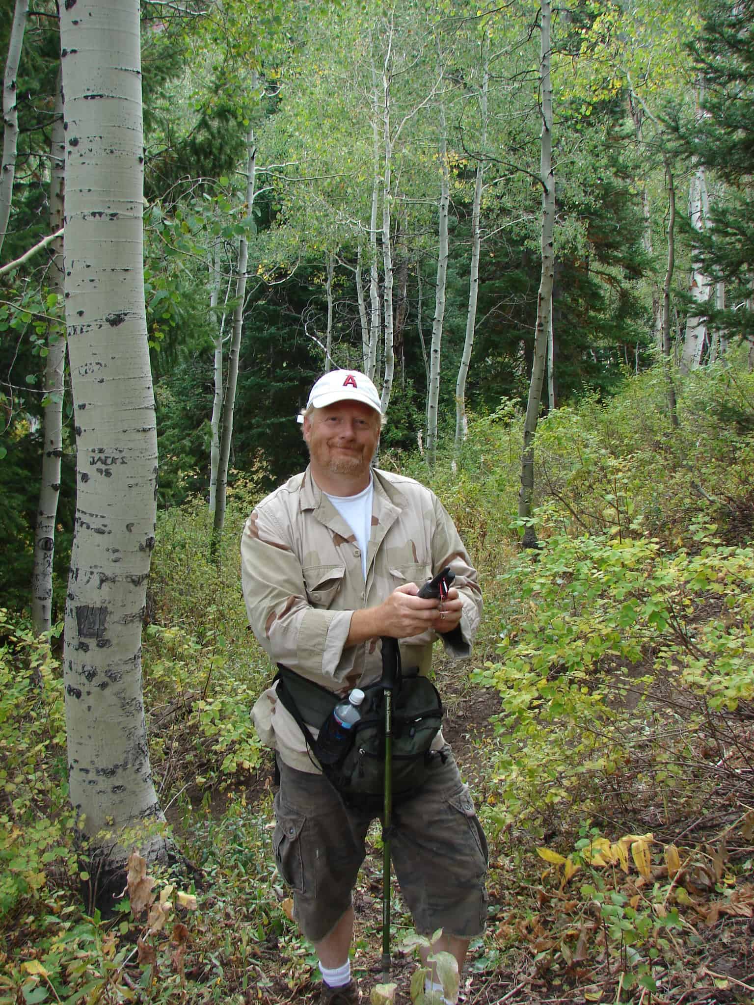
Maple Mountain is above Mapleton and Spanish Fork, I grew up in Mapleton and hiked that mountain more times that I could count or remember. It’s a gorgeous hike but a longer one, there’s a nice pond we call Maple Lake when you’re most of the way up and it’s a great place to stop for a while before finishing.
The trail starts at the top of Whiting Campground, a quarter-mile after that you cross the creek to take trail 007 and can’t miss it from there.
I’ve had the hike take 12 hours up and back many times including time to play in the lake and catch salamanders but when hurrying and when in Shape I’ve gone up in 2 hours and come back down about that quick.
There’s plenty of wildlife and scenery and amazing views of the valley from the saddle (after the lake and before the top.)
Growing up in Mapleton everyone I knew called it Maple Mountain, the same with those in Springville – but over in Spanish Fork I found out that most people called it Flonette. We also called it Sierra Bonita (Beautiful Mountain) regularly. The debate continues because the SF people insist it is Flonette and other insist Maple Mtn. Local landmarks, schools, businesses and such are named for both Maple Mountain and Flonette so trying to use that as “proof” is futile and trying to look to real or official maps doesn’t work because all I’ve seen just identify the peak as Spanish Fork Peak but do not name the mountain. I’ve also heard that in the 50’s and 60’s it was mostly called Front Mountain.
Related posts:


10 Friday Jun 2016
Posted in Uncategorized
Tags
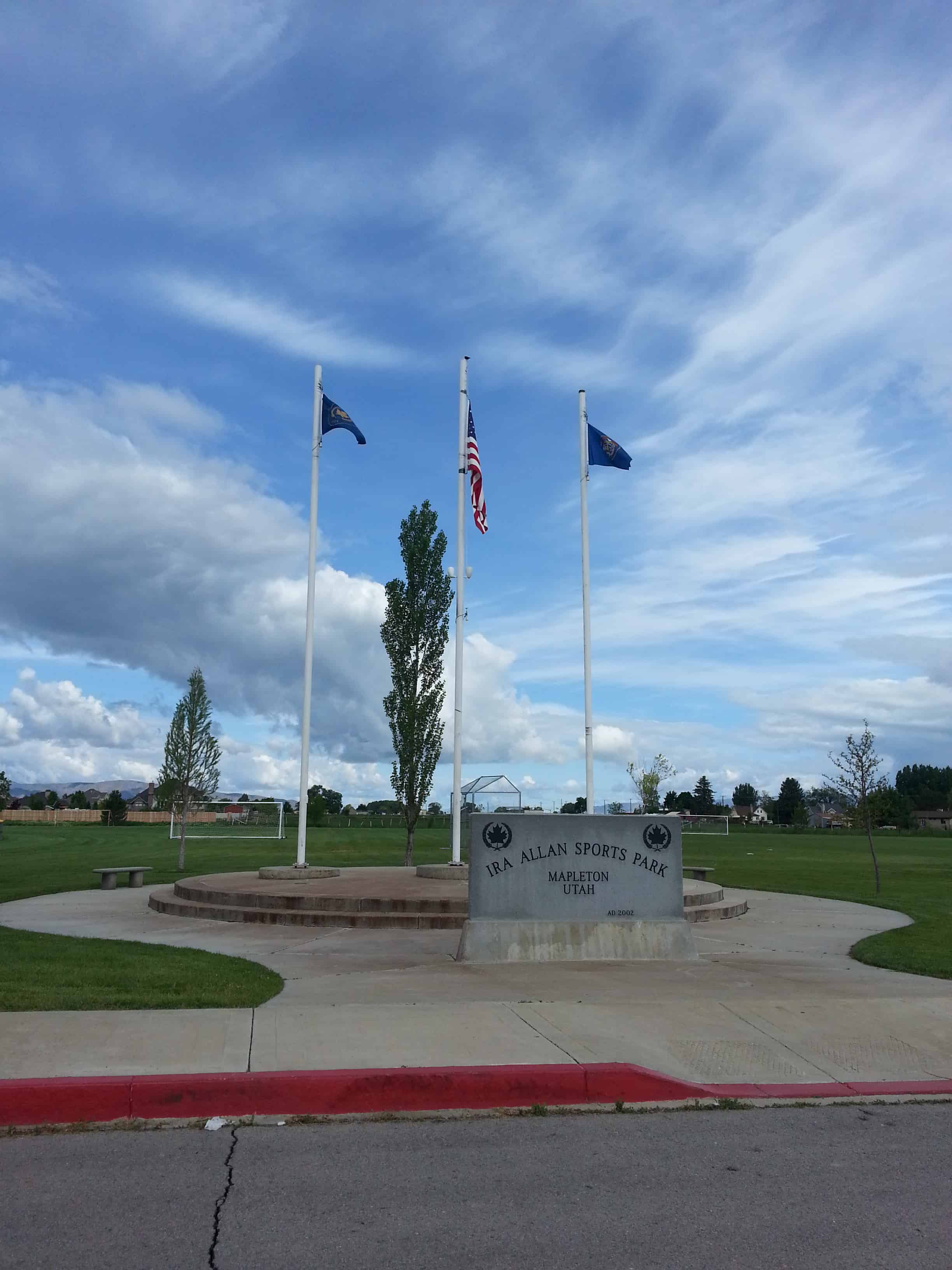
Ira Allen Park in one of the newer parks in Mapleton, popular for sports and the annual firework show in July.

14 Monday Dec 2015
Posted in Uncategorized
Tags
Mapleton, Railroad, Railroad Sidings, spanish fork, spanish fork canyon, Springville, utah, utah county

Moark Junction is the name for where Highway 89 and Highway 6 meet at Mapleton / Spanish Fork – just outside Spanish Fork Canyon.
11 Friday Dec 2015
Posted in Uncategorized
Tags
Sutro is a railroad siding at Spanish Fork / Mapleton, Utah

20 Friday Nov 2015
Posted in Uncategorized
Tags

Clyde Park in Mapleton, Utah. The area was called “Jap’s Hill” when I was a kid and was a really fun place to do some off road mountain biking. It was turned into a park in 2008.
Related:

04 Wednesday Feb 2015
Posted in Uncategorized

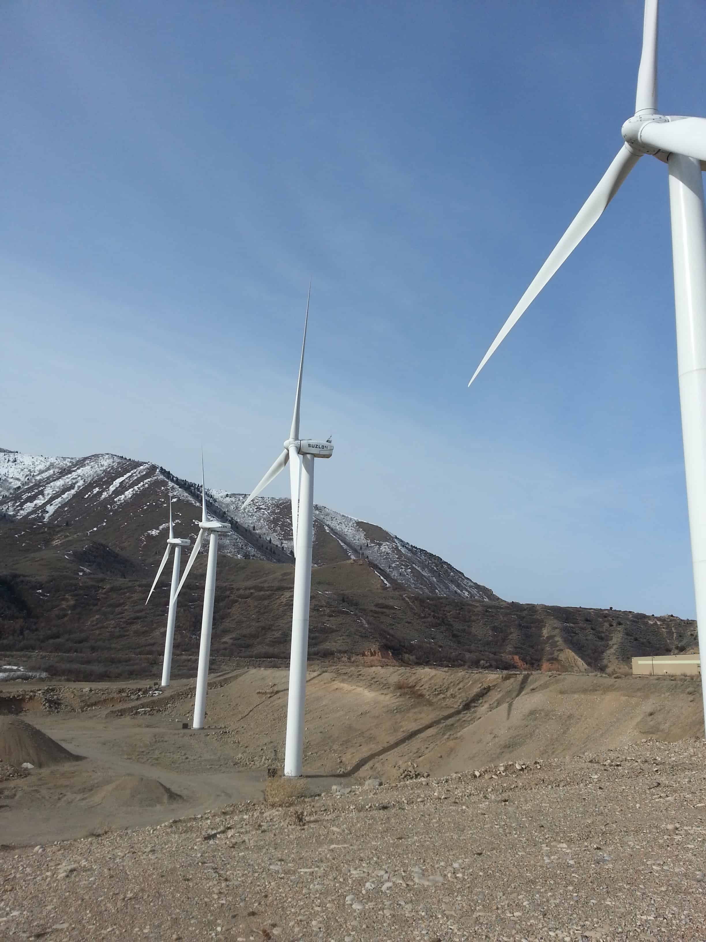
The huge windmills at the mouth of Spanish Fork Canyon are quite a sight and well known to travelers of the area and generate electricity as they rotate.
How is electricity generated?
The wind’s kinetic energy is converted into rotation by turbine rotor blades, which rotate at speeds between 17-24 rpm (revolutions per minute). The rotor hub is connected to the main shaft which leads into the gear box where a set of gears increases the rotational speed to approximately 120 times the rotor speed. The gear box output shaft is connected to the generator where, using magnetic fields, the rotation is converted into electricity. This electricity is transported down the tower through a set of large copper cables to the transformer. The transformer boosts the voltage to feed the wind generated electricity into the transmission grid and on to homes and businesses.
The 18.9 megawatt (MW) wind park uses canyon winds to generate approximately 55 million kilowatt hours of electricity each year, providing enough energy to meet the needs of about 6,000 households.
Electricity generated by this project is delivered to Rocky Mountain Power customers. The project also creates Renewable Energy Credits (RECs). PacifiCorp’s Blue Sky program participants were the first to purchase these credits. Wasatch Wind of Park City, Utah developed the project. Spanish Fork Wind Park is a subsidiary of Edison Mission Energy of Irvine, California, one of the nation’s largest owners of wind projects.
What is a Renewable Energy Credit?
A Renewable Energy Credit (REC), also known as a green tag, is a trad-able commodity denoting that 1 megawatt hour of electricity has been generated from a qualifying renewable source, such as wind, solar, geothermal, biomass or small hydro. These RECs are purchased by utilities, power marketers and retailers, corporations, governments, and individual power users who want to demonstrate a commitment to sustainability.
What is wind energy?
Wind energy is created by unequal heating of the earth by the sun. Temperature differences create air pressure differences, which cause air to move from high to low pressure. Air is nearly always in motion; wind parks like Spanish Fork take advantage of places where winds blow strongly and consistently.
Why are the Spanish Fork turbines usually working at night and not during the day?
The sun warms the ground during the day causing the air to warm and rise. The wind actually moves upslope, but weakens as it disperses through the canyon. In the evening, air near the ground cools quickly, especially in high mountains where the air is thin. The cool air rushes to the bottom of these canyons, and gravity accelerates it into a river of downslope flow (called nocturnal drainage flow.) This “river of wind” empties out of Spanish Fork Canyon throughout the night with maximum force at the wind park location. These nocturnal drainage winds typically taper off in the morning. This is why uou will see the turbines turning more in the evening, through the night and in the early morning, rather than during the day.
How large is the airshed?
The Spanish Fork airshed is 1,650 square miles (see map), the largest in the Wasatch Mountains. This its winds are stronger than all other canyons from Provo north to Brigham City, which is why is was chosen as the location for the wind park.