Tags

Gaviota Rest Area (southbound)



10 Wednesday Oct 2018
Posted in Uncategorized
Tags
Gaviota Rest Area (southbound)
09 Tuesday Oct 2018
Posted in Uncategorized
Tags
05 Friday Oct 2018
Posted in Uncategorized
Tags
27 Thursday Sep 2018
Posted in Uncategorized

The town of Tucker was located near a sharp curve at the bottom of a 5% grade along U.S. Route 6. In 2009, the Utah Department of Transportation closed and buried the Tucker rest area to build a safer alignment, with a banked curve and reduced grade. In 2010, the department dedicated a replacement rest area about 2 miles downstream from Tucker (mile post 202). The structure was named the Tie Fork Rest Area after the side canyon where it was located. The replacement rest area was designed to mimic an early 1900s era train depot to honor the town, including a replica roundhouse and non-functional steam locomotive built by Original Creations of Carbonville, Utah. The buildings were designed by the Archiplex Group of Salt Lake City. The rest area was voted one of the most beautiful buildings in the state of Utah in a contest sponsored by the American Institute of Architects. It is also one of the busiest non-freeway rest areas in the state.
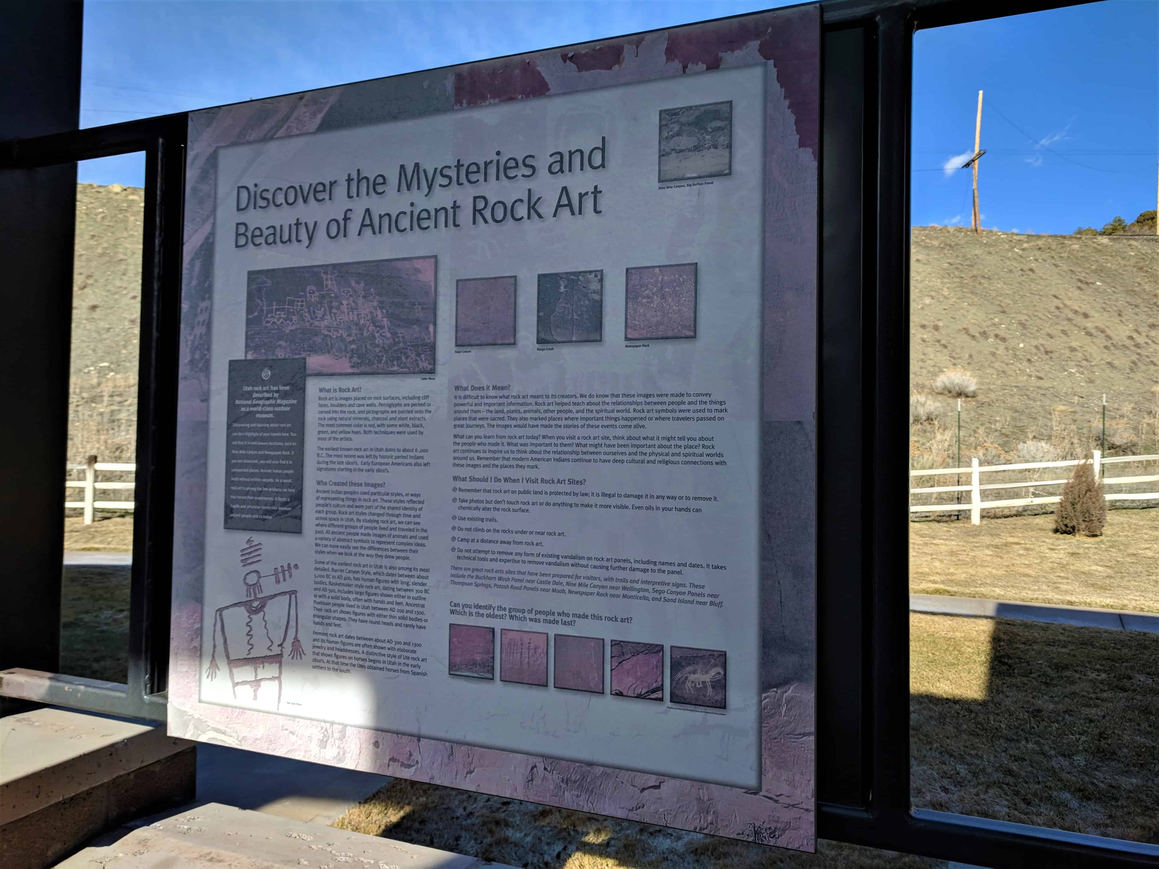
The rest area was officially opened on 16 Aug 2010 and is supported financially by Carbon, Emery, Grand, and Utah counties, as well as the Manti-La Sal National Forest and Utah State Parks (Division of Utah State Parks and Recreation). Each of the sponsors have provided interpretive displays at the rest area and share the estimated annual $17,000 cost of maintenance.
Related Posts:





27 Thursday Sep 2018
Posted in Uncategorized

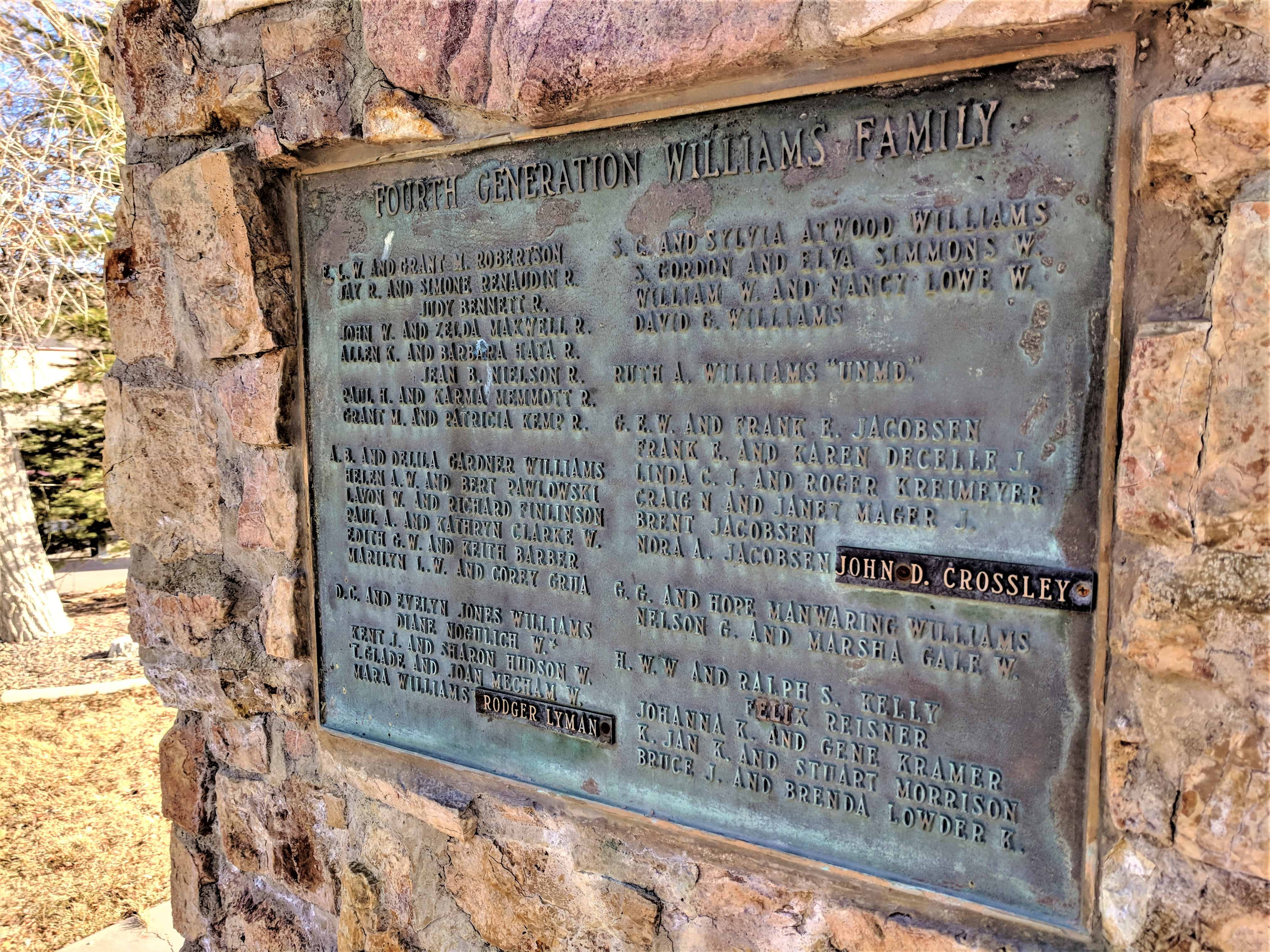
Williams & Powell Ranch
Homesteaded 1885
Original homestead at this site by Simeon Comfort & Edith Hannah Cornaby Powell.
Powell children:
Edith Amelia P. “Sackett”
Simeon James P.
Hannah Caroline P. “Williams”
Samuel March P.
Alma J. P.
William T. & Hannah C. P. Williams acquired the original property along with other property totaling 5,000 acres in the Tie Fork and South Side of Canya, include ranch homes at min and west canyon.
Williams children born or reared here:
| Edith Last W. “Robertson” | Roth Amelia W. |
| Ann Rees W. “Twin-Died in Infancy” | Grace Emily W. “Jacobsen” |
| Thomas Cornaby W. “died in Infancy” | Dora C. W. “Died in Infancy” |
| Allen Berry W. | Grant Griffiths W. |
| David Clark W. | Doris Pearl W. “Died in Infancy” |
| Samuel Coraby W. | Hannah Willett W. ” Kelly-Reisner” |
Monument erected 1980.
Located at the Tie Fork Rest Area.

24 Friday Aug 2018
Posted in Uncategorized
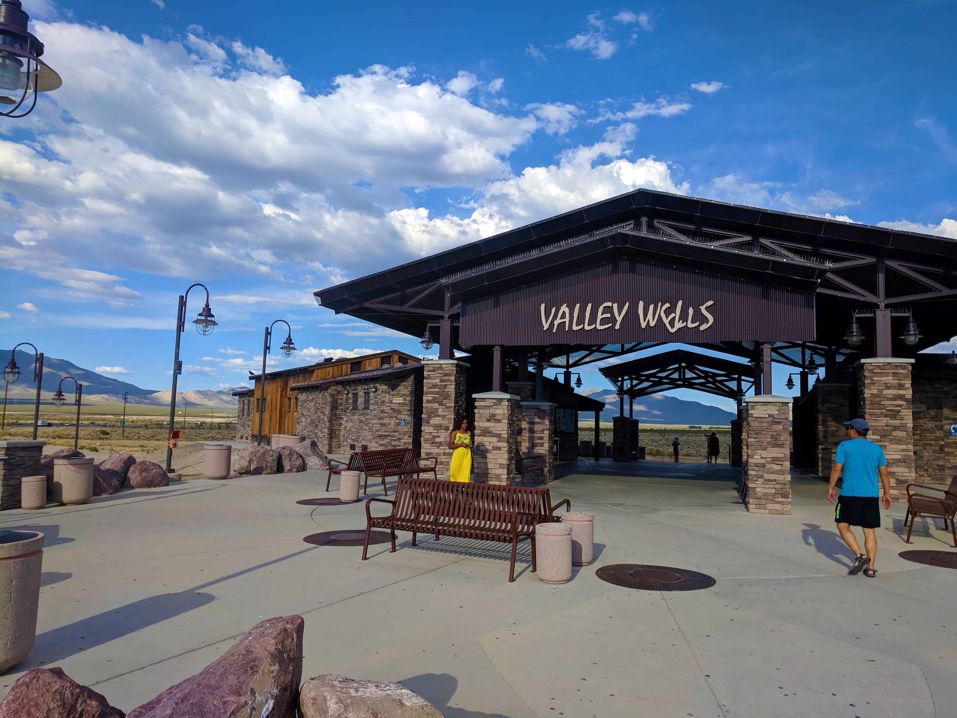
Valley Wells Rest Area Northbound, for the Southbound rest area across the freeway from this one visit this page.


29 Monday Jan 2018
Posted in Uncategorized
Tags
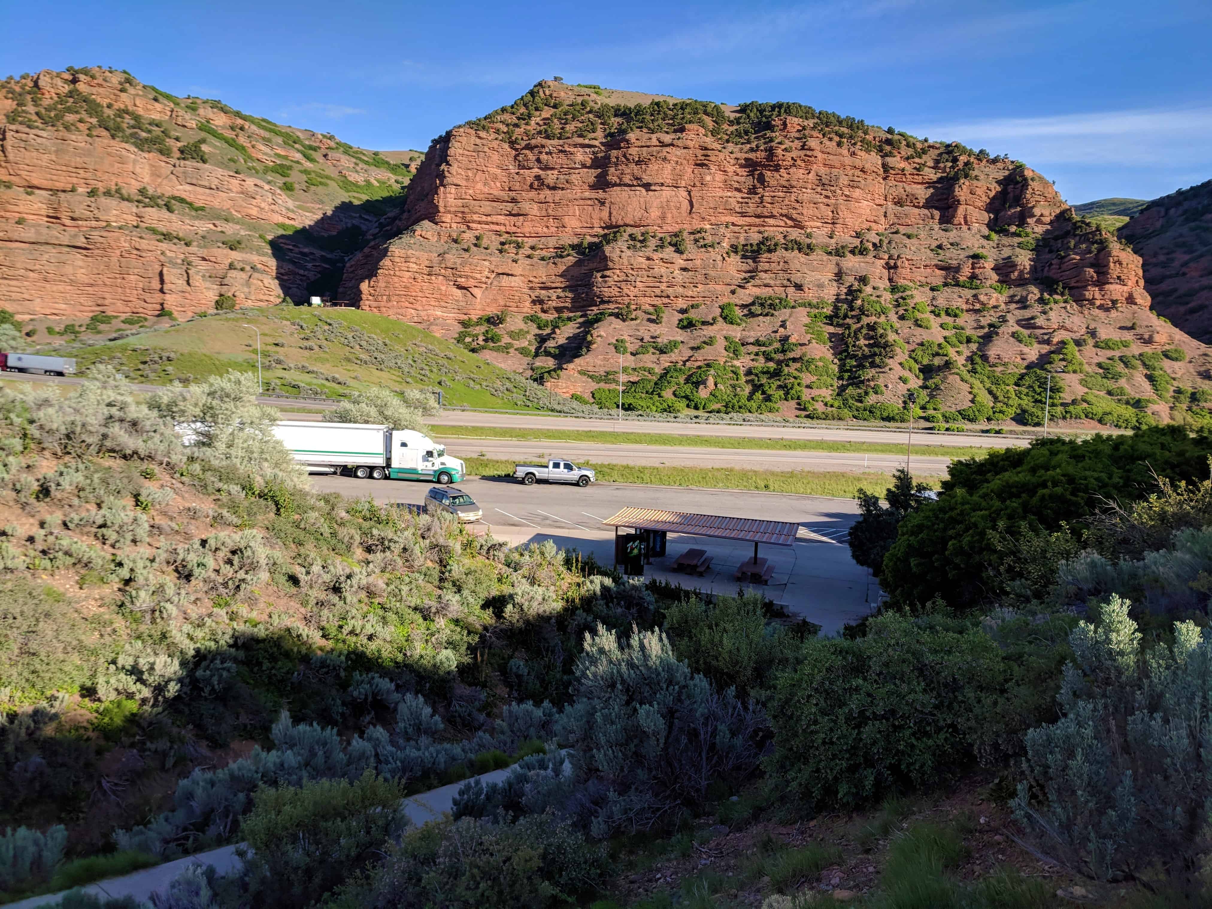
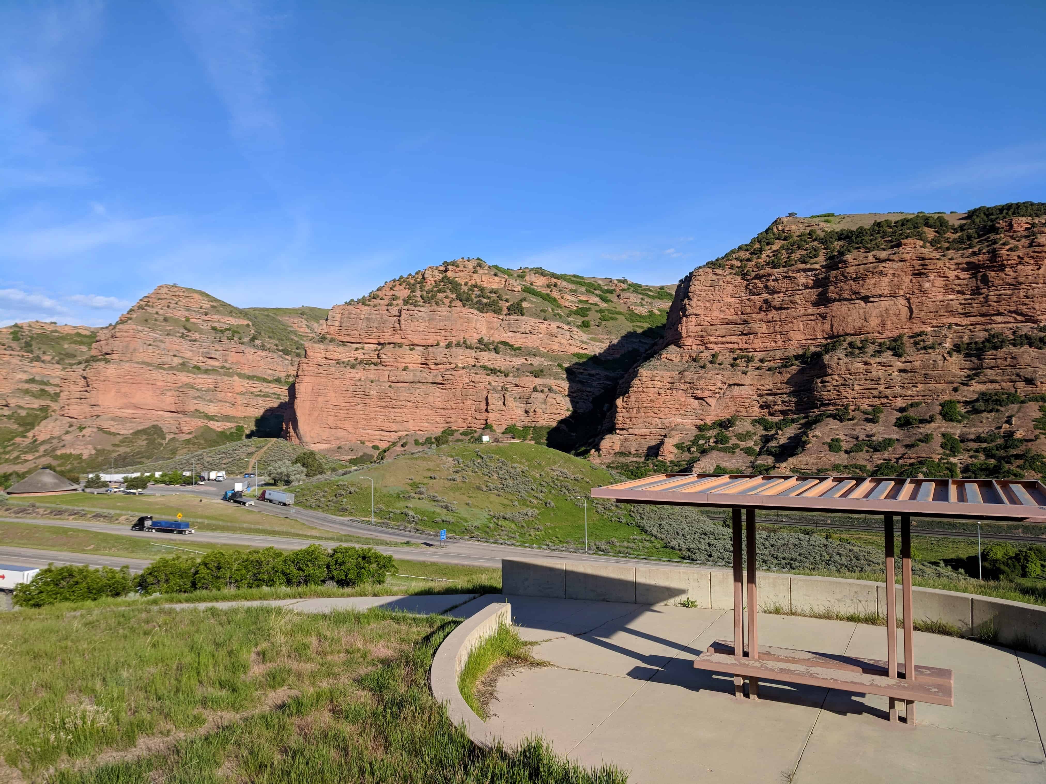
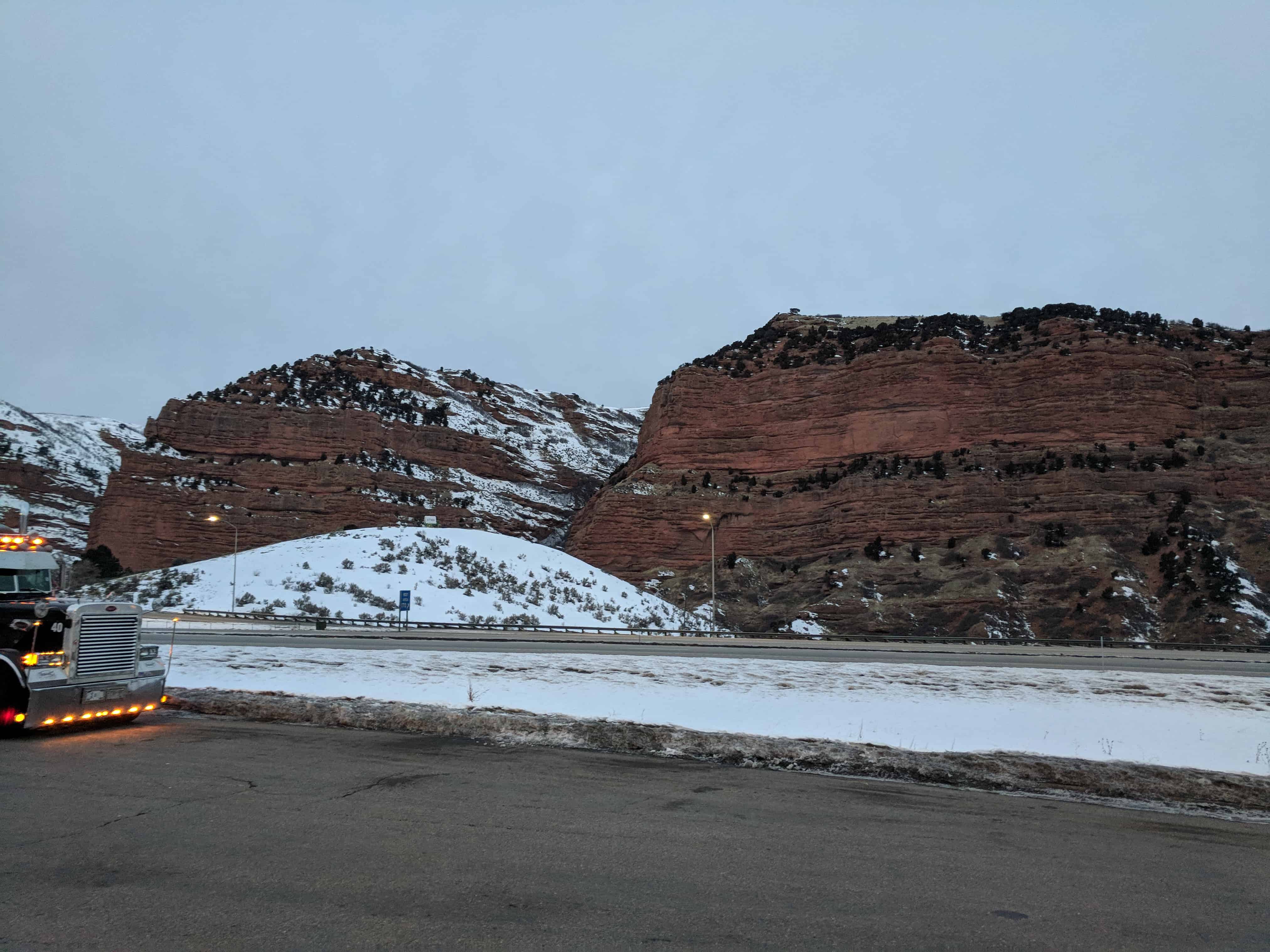
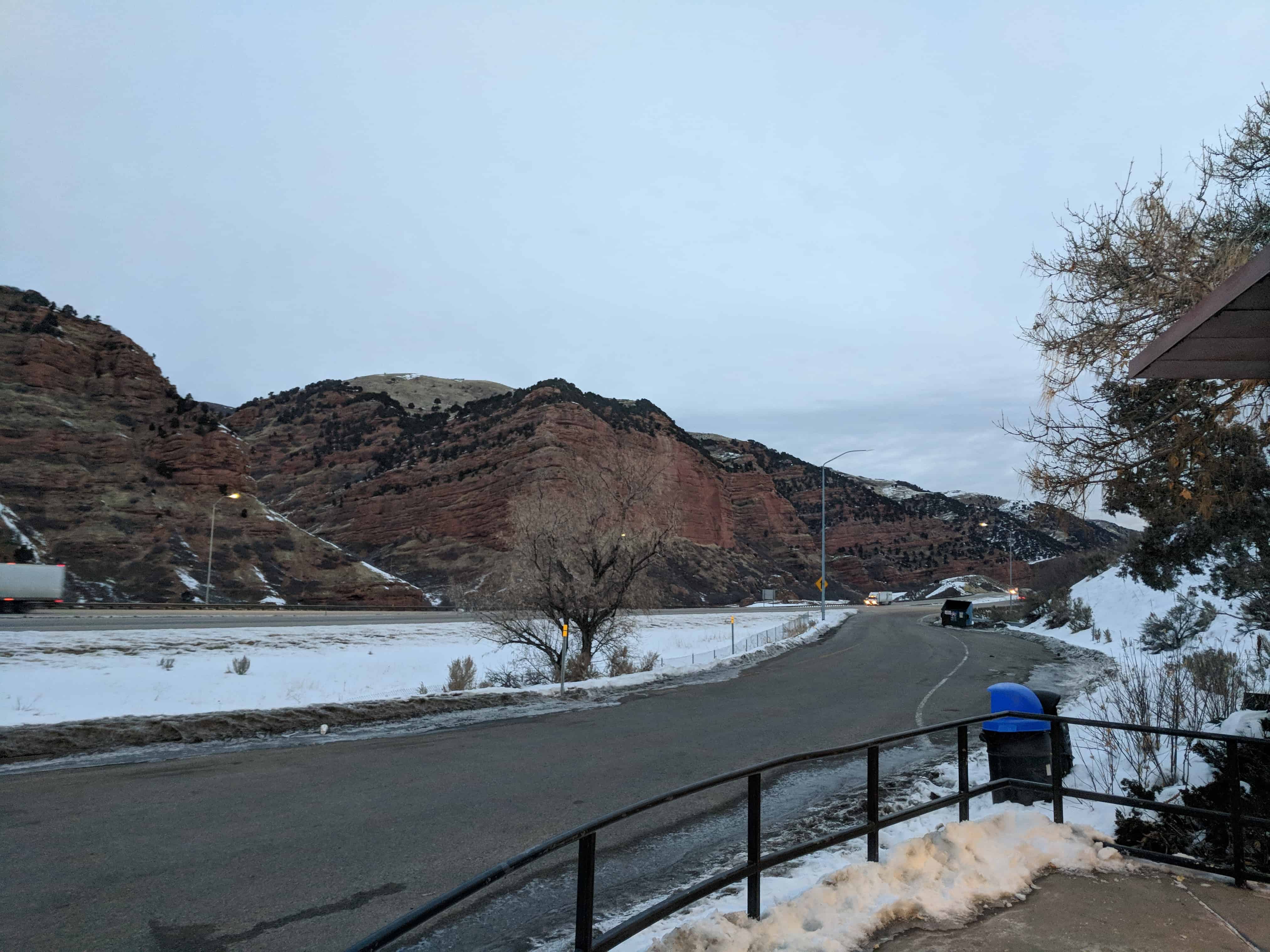
Echo Canyon – Eastbound Rest Area
This is the rest stop near the mouth of Echo Canyon for eastbound travel, westbound is on this page.
There is a restroom and a small hiking path, some friendly potguts who like to beg for food and a cluster of historic markers:


20 Thursday Jul 2017
Posted in Uncategorized

The Hassayampa River Riparian Area or Hassayampa River Preserve is a highway rest area just south of Wickenburg, Arizona.


18 Tuesday Apr 2017
Posted in Uncategorized
Tags
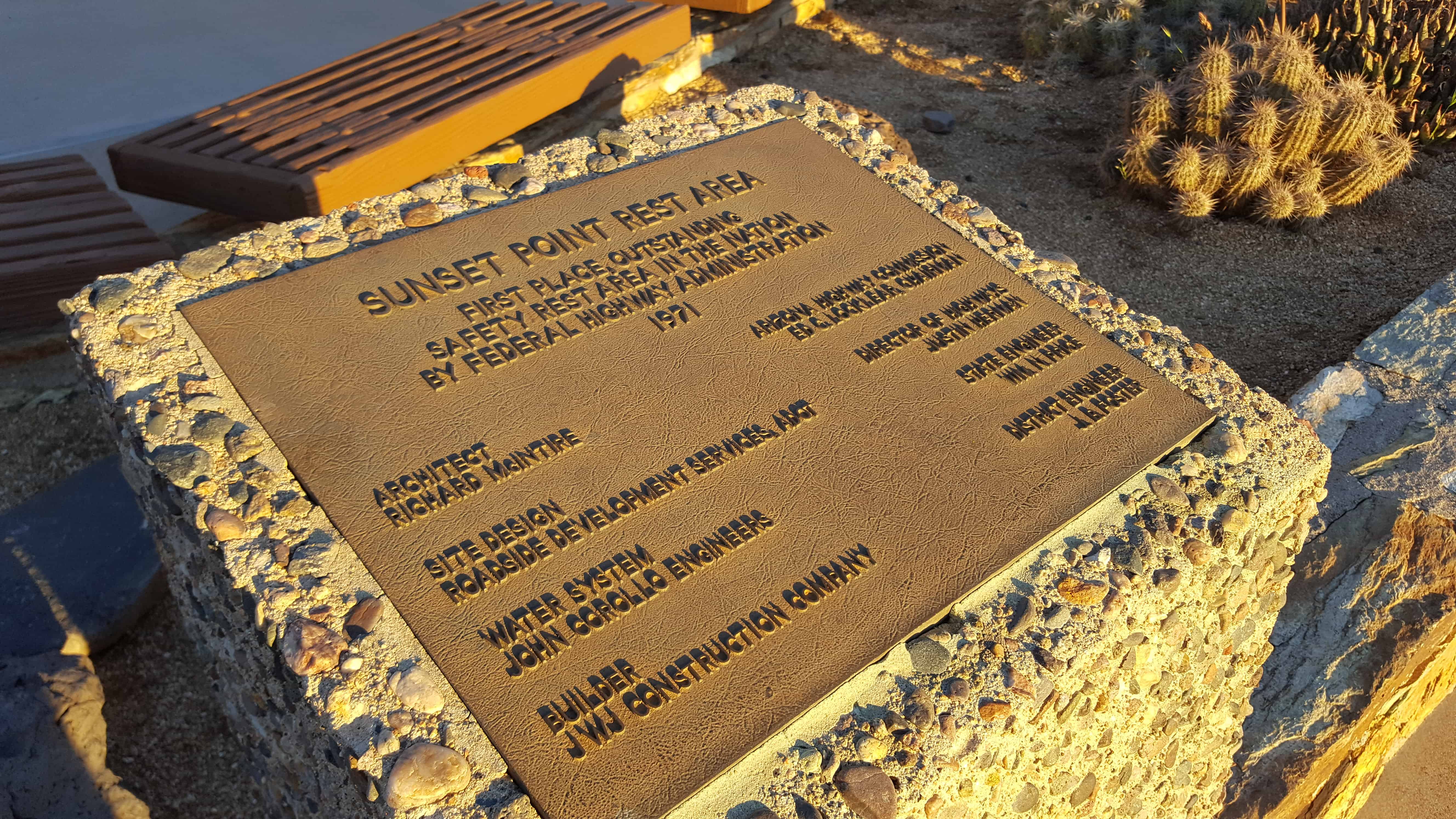
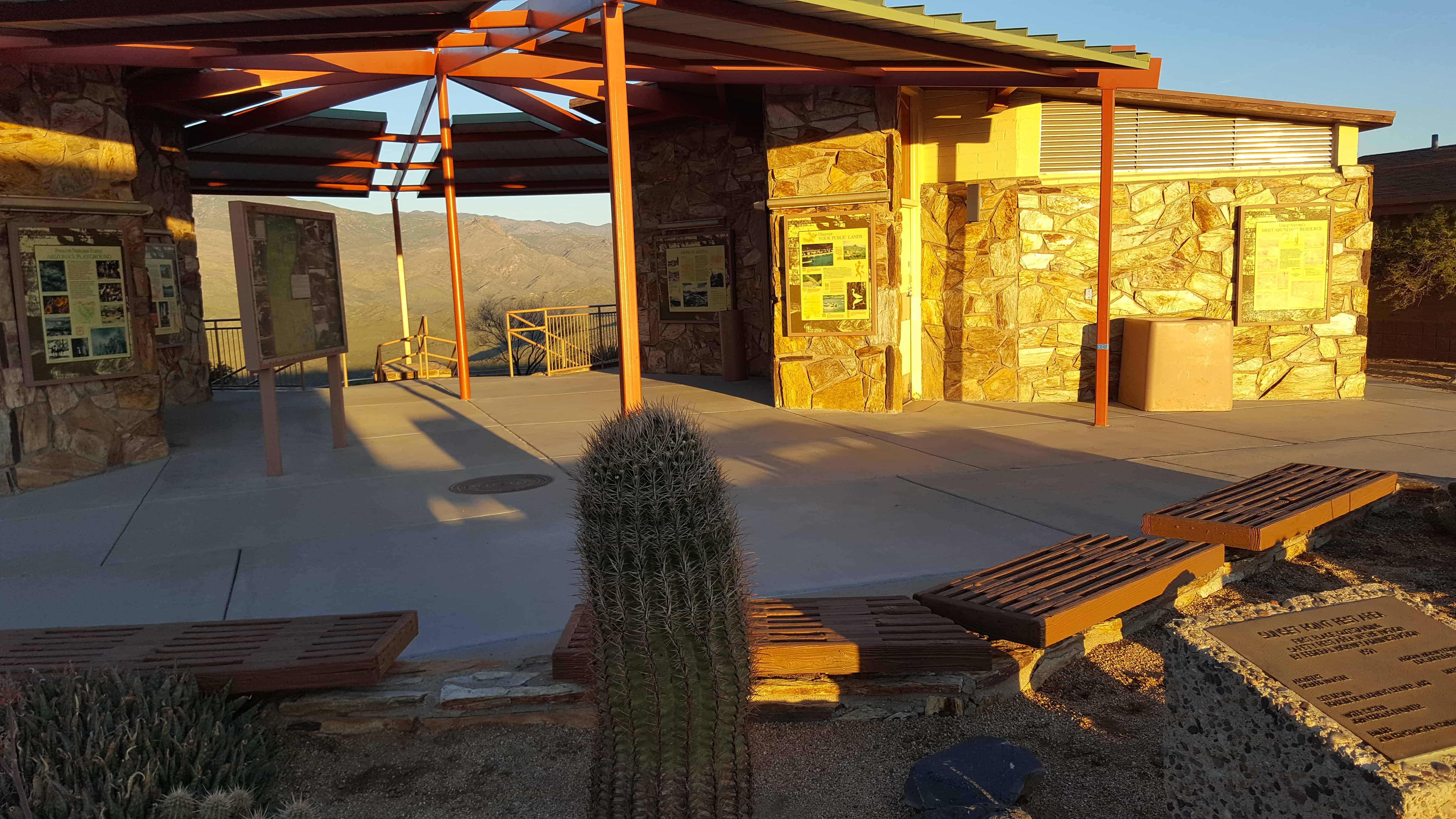
 The Sunset Point Rest Area on I-17 has some great views and is a good place to take a rest.


17 Monday Apr 2017
Posted in Uncategorized
Tags
Arizona, historic, Historic Markers, I-10, Pinal County, Rest Areas, Sacaton

The Sacaton Rest Areas on I-10 are pretty nice, clean and full of informative signs.
The historic markers for the Gadsden Purchase and the Gila River Indian Reservation are some of the things to read.
Sacaton Rest Area Eastbound (Southbound):