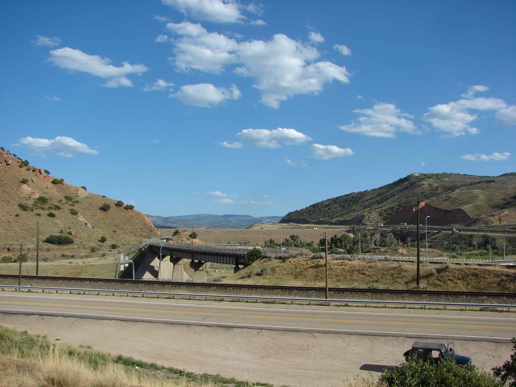
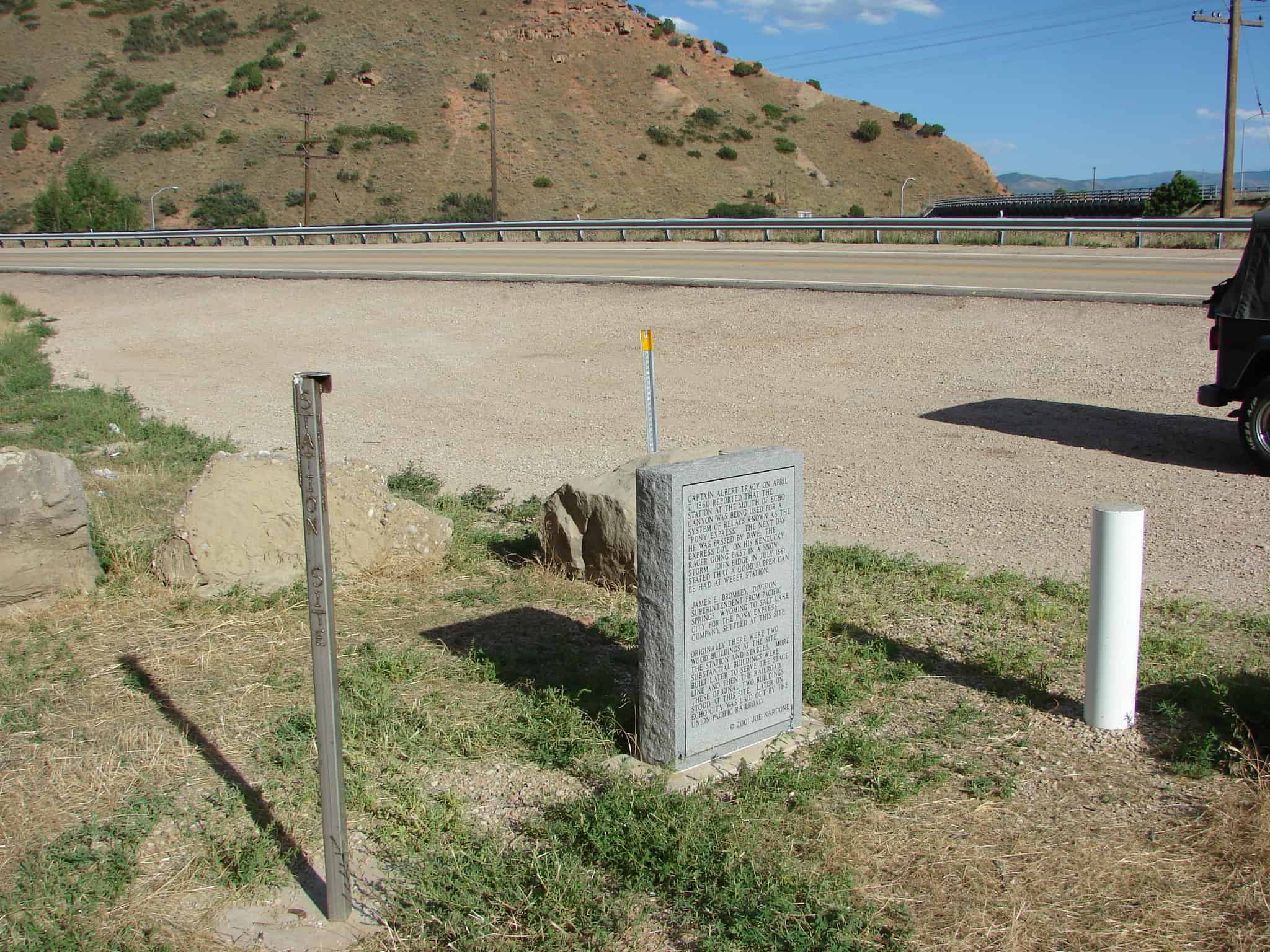
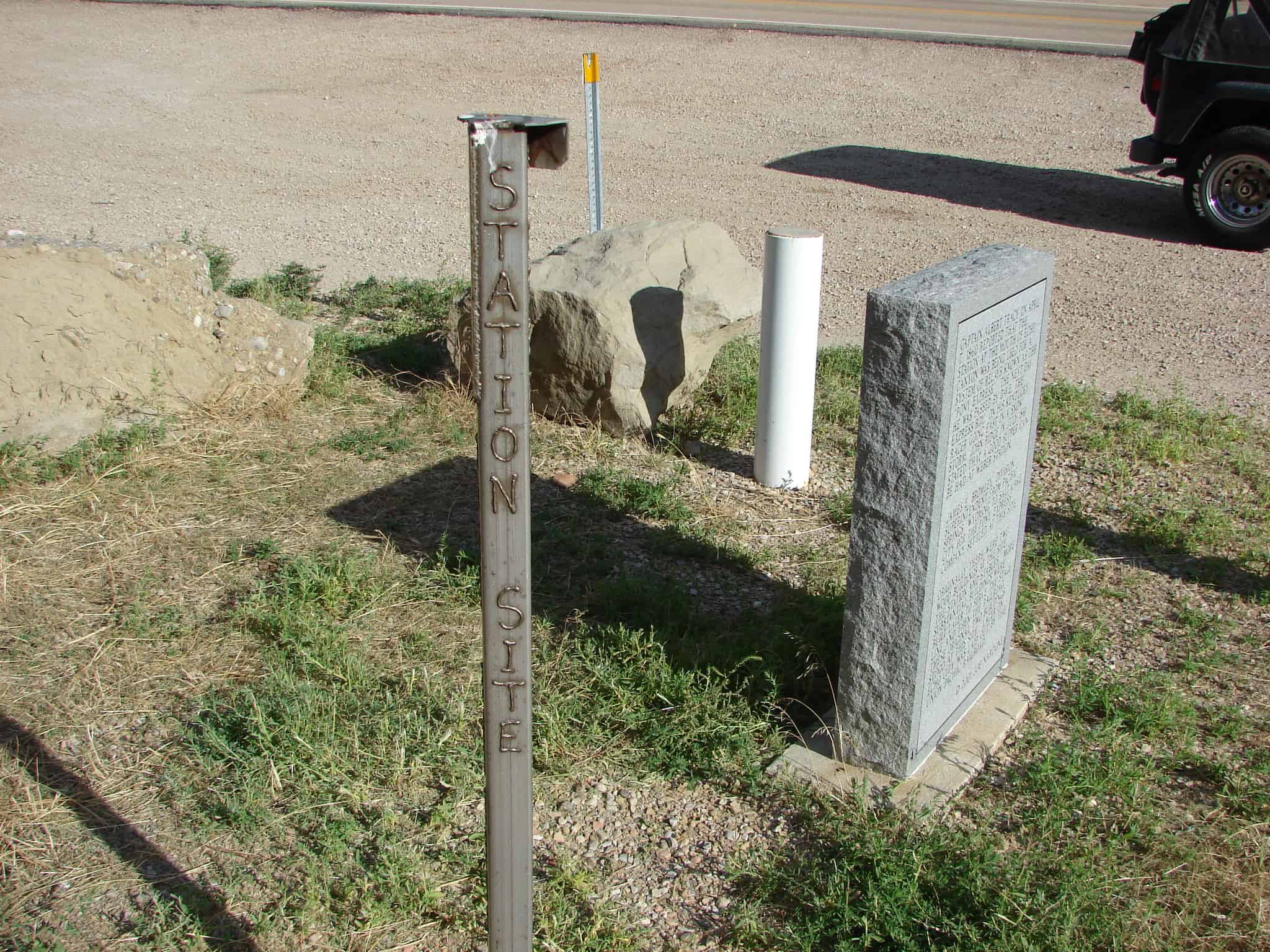
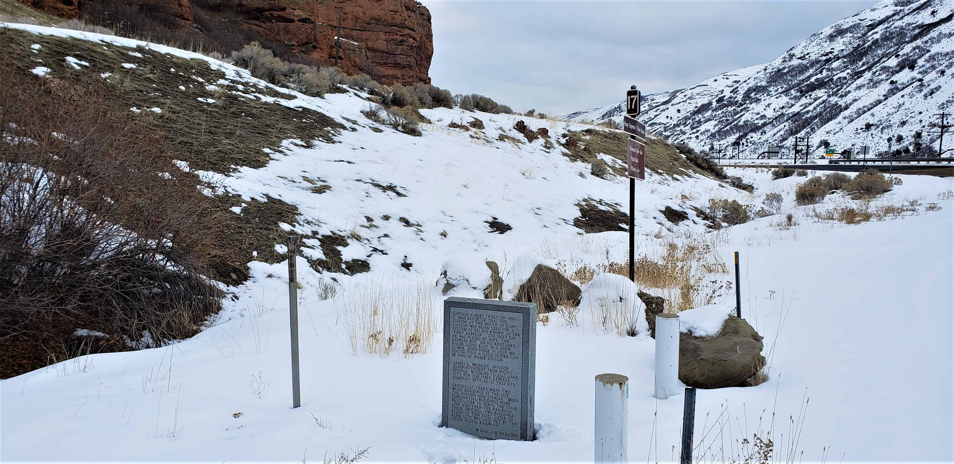
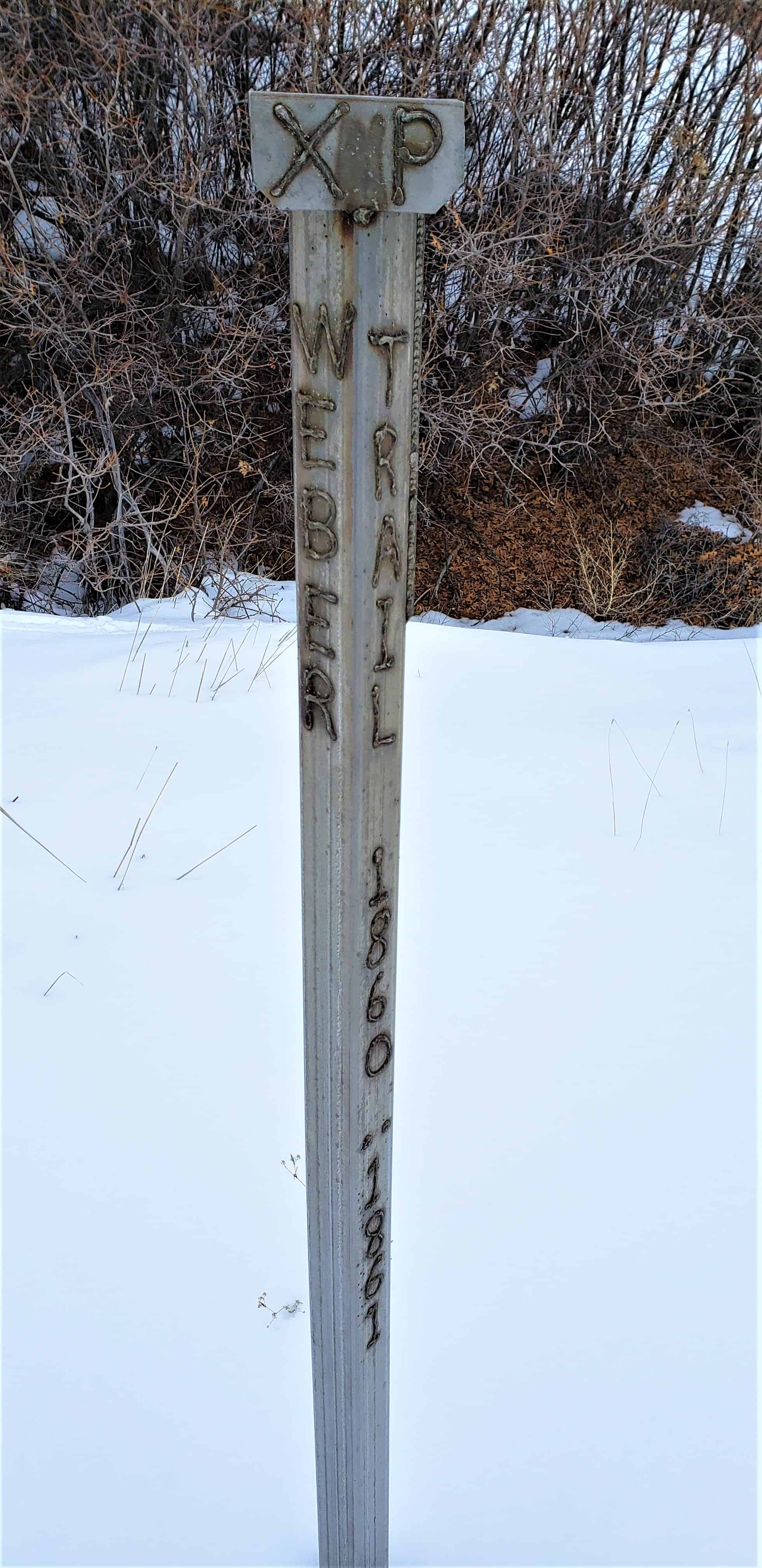
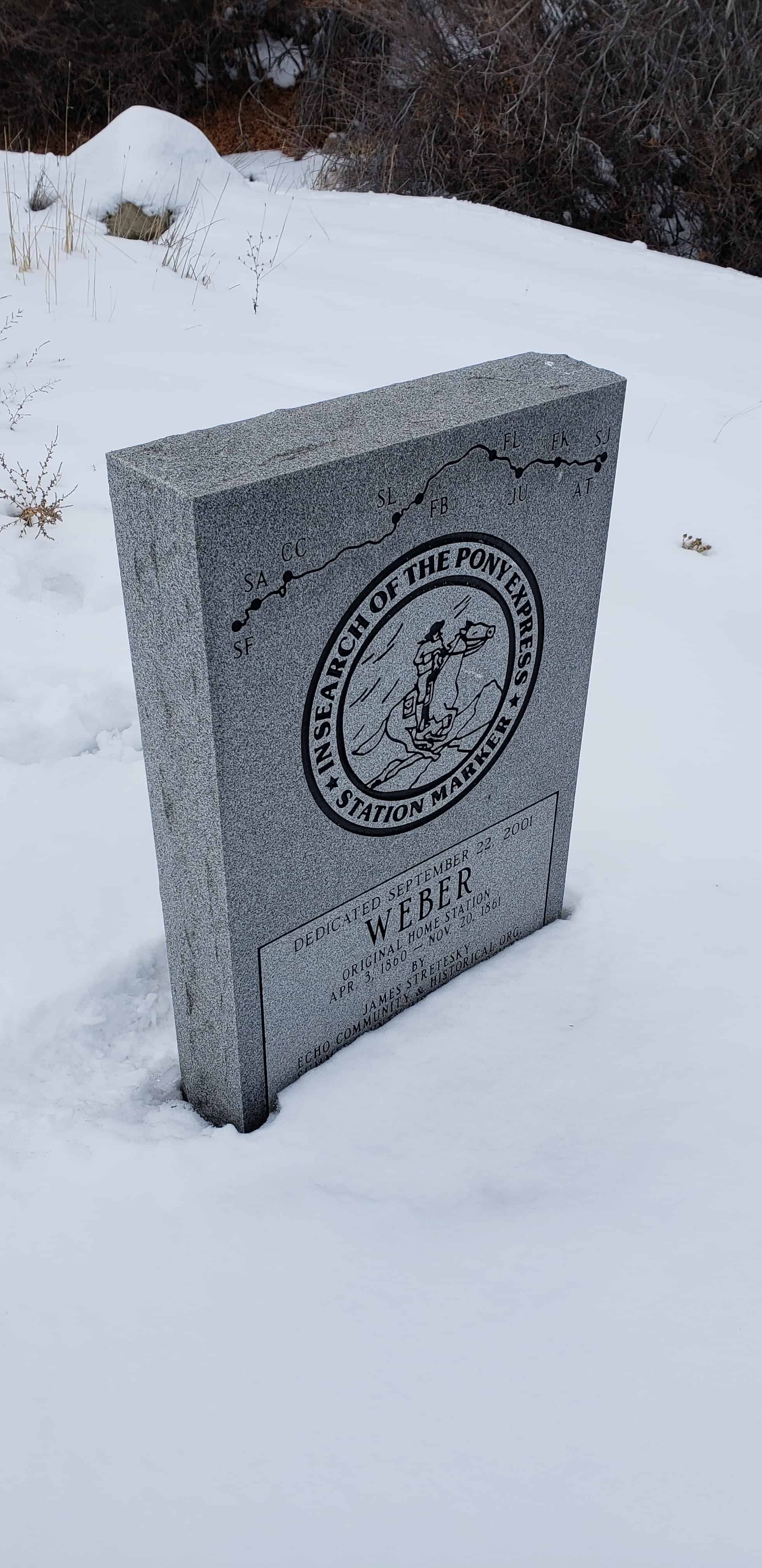
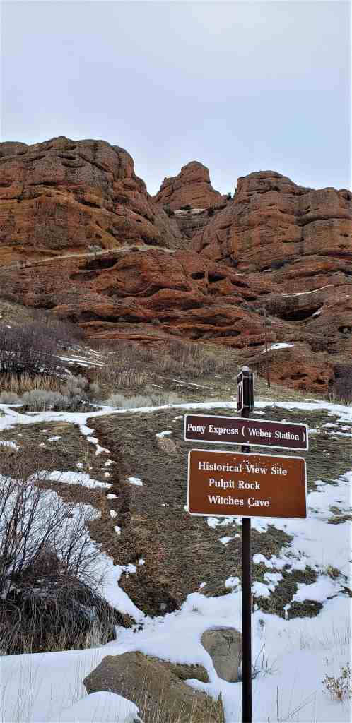
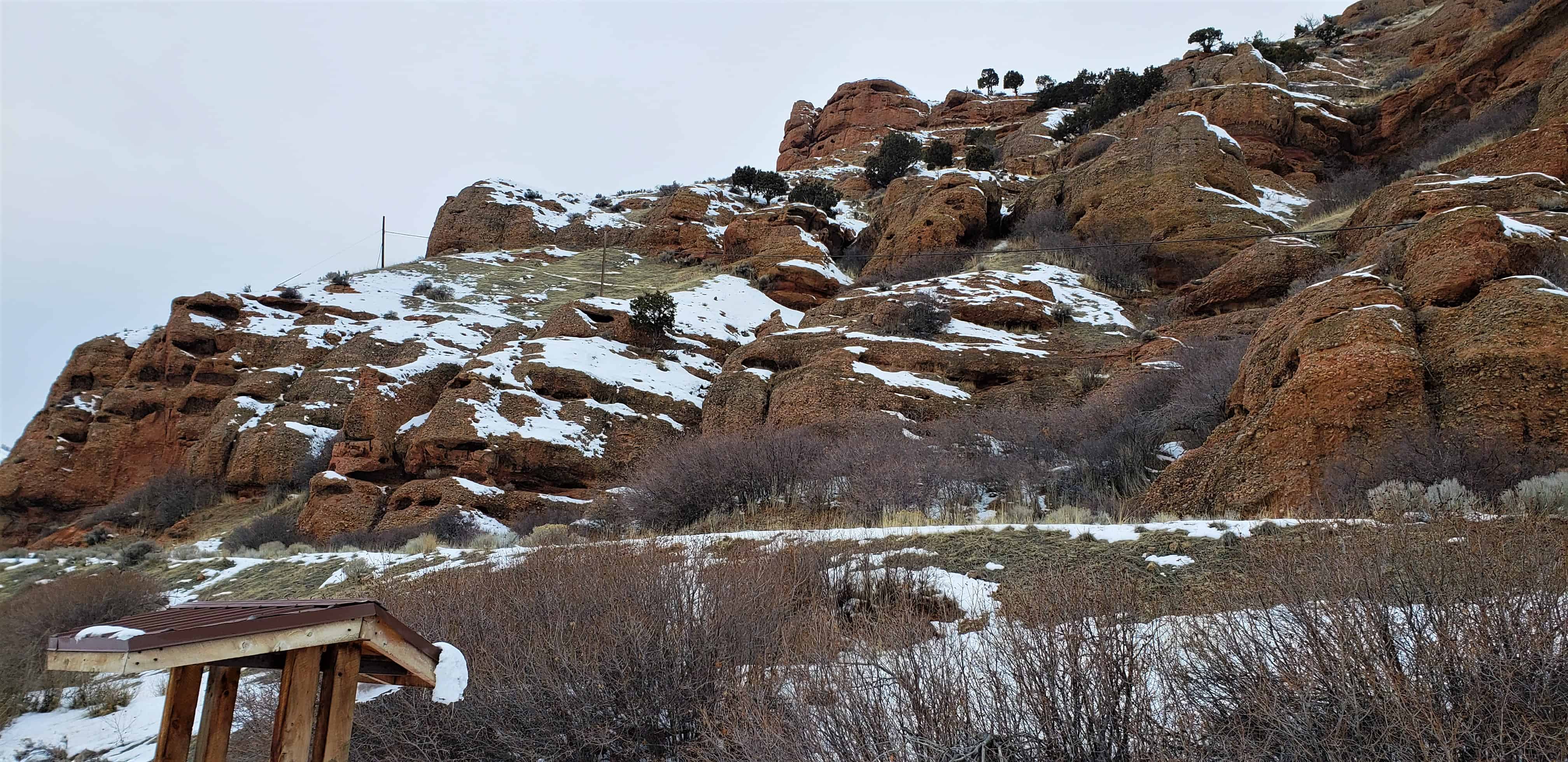
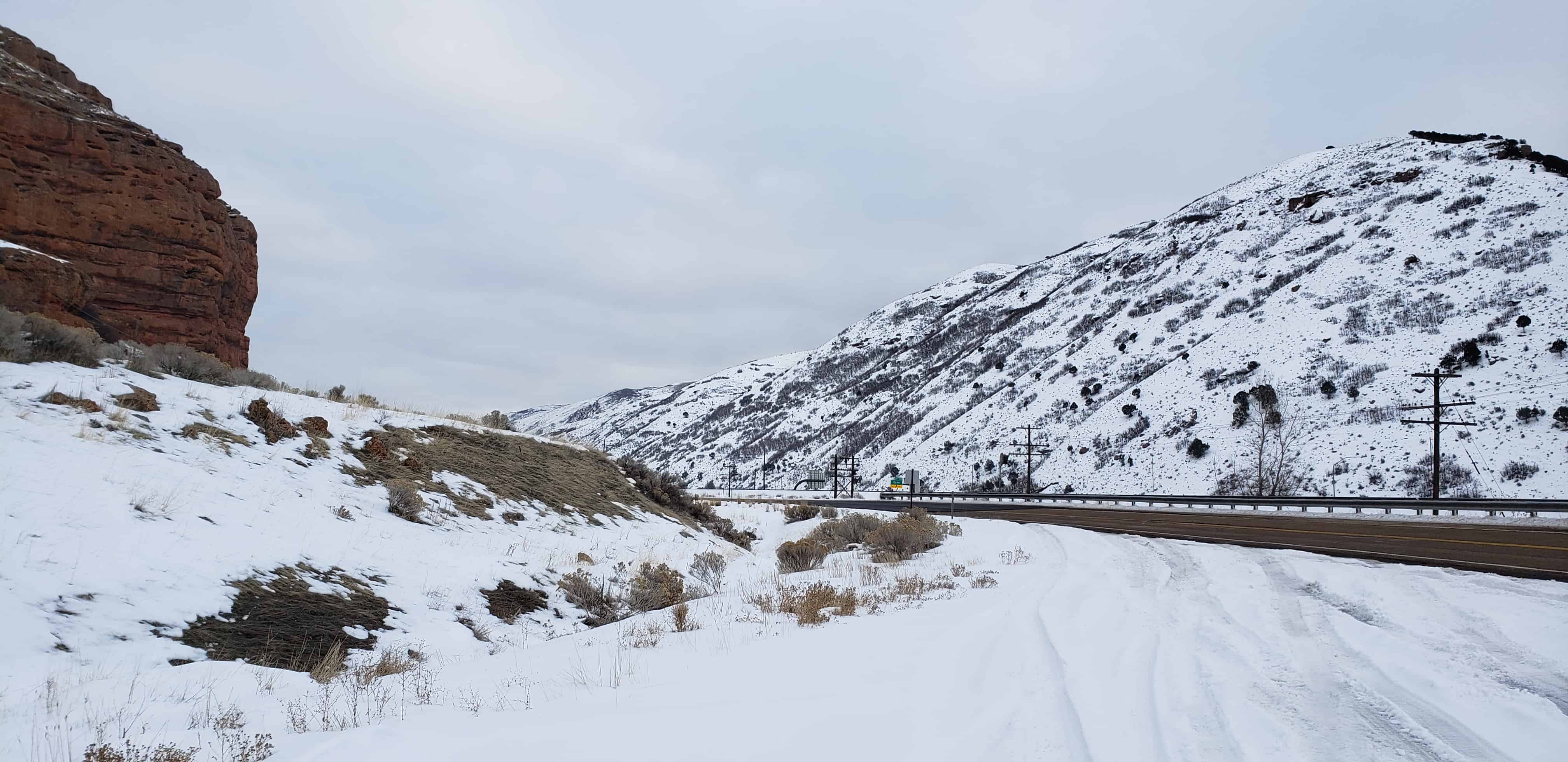
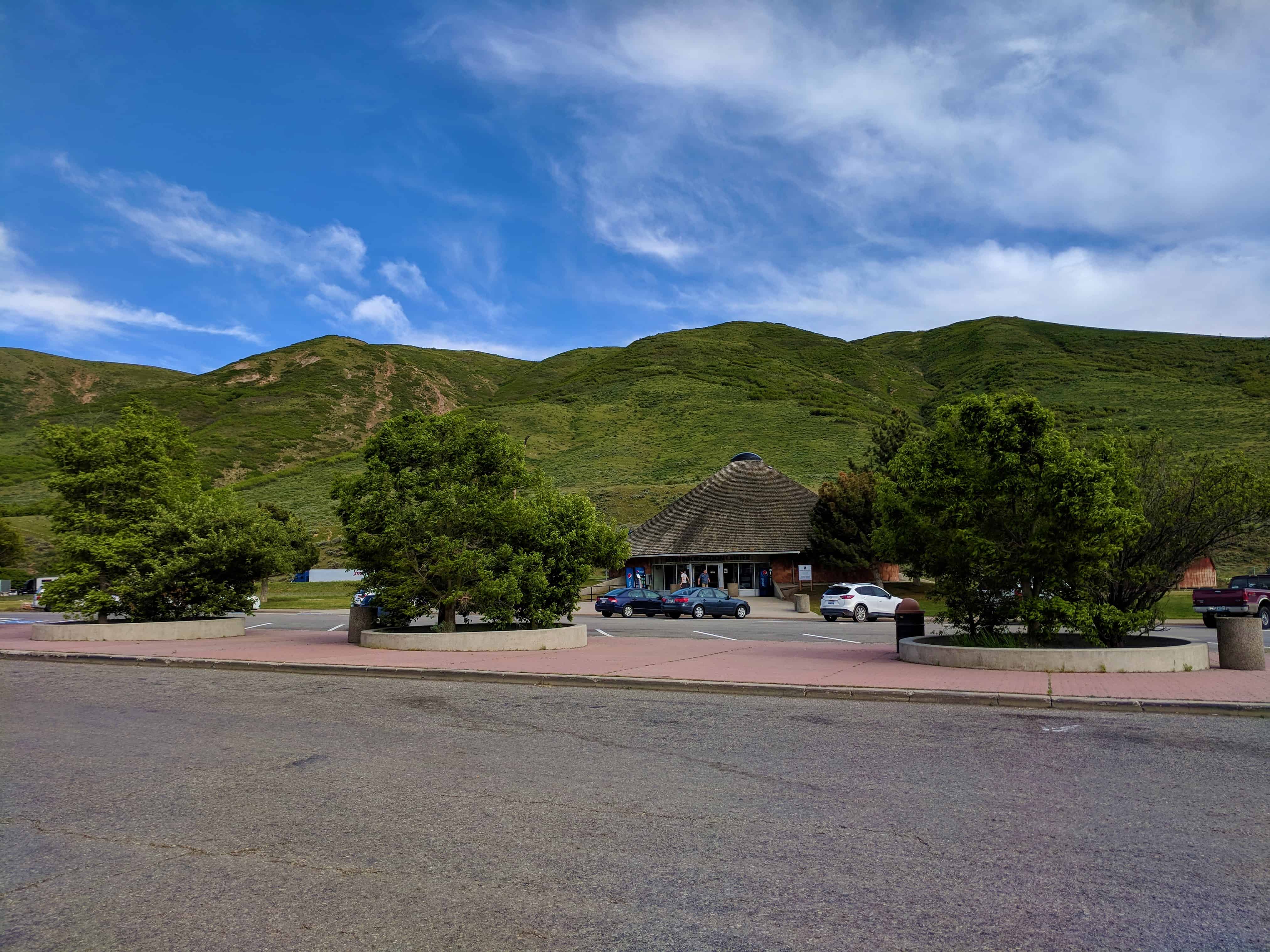
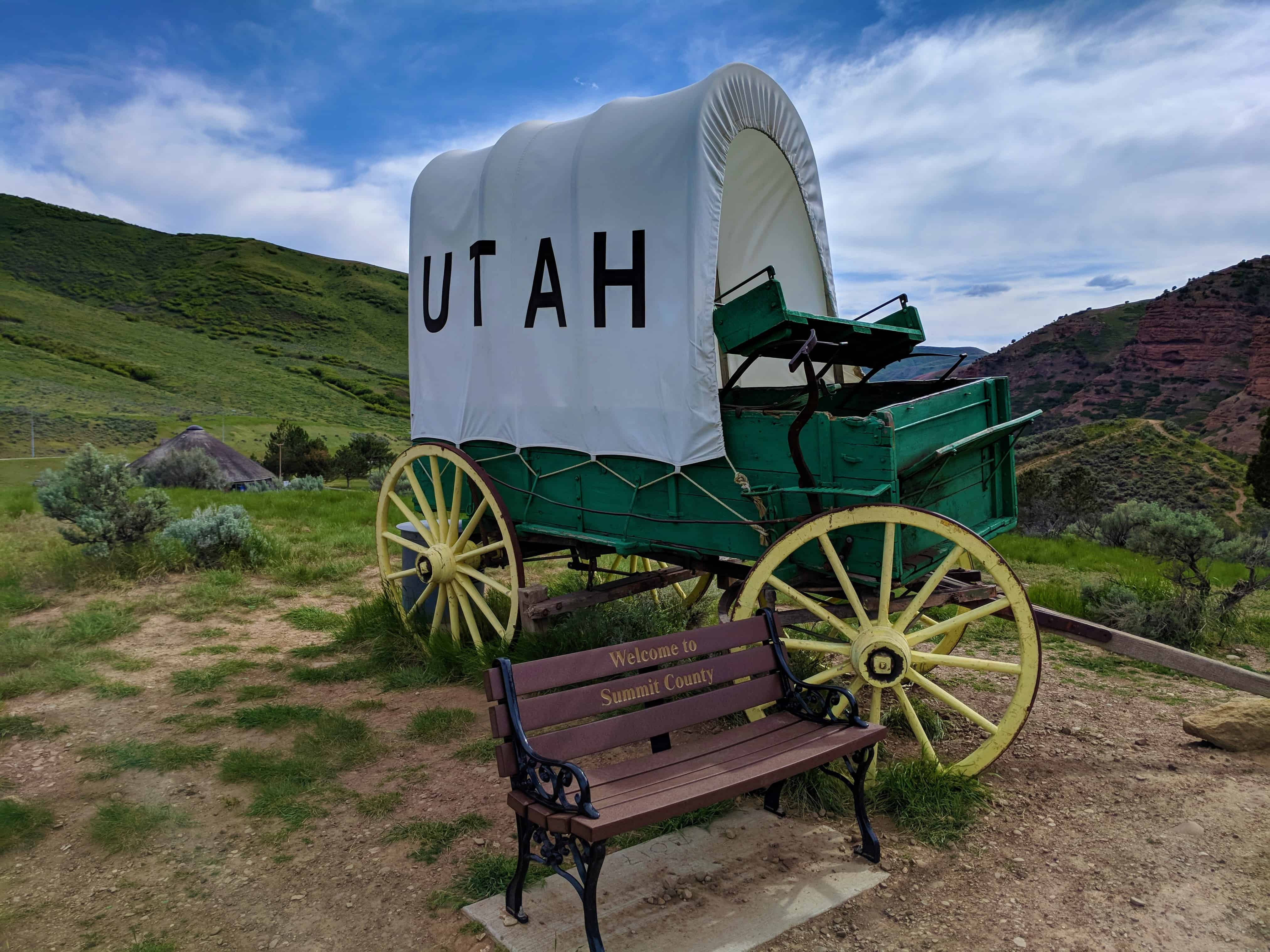
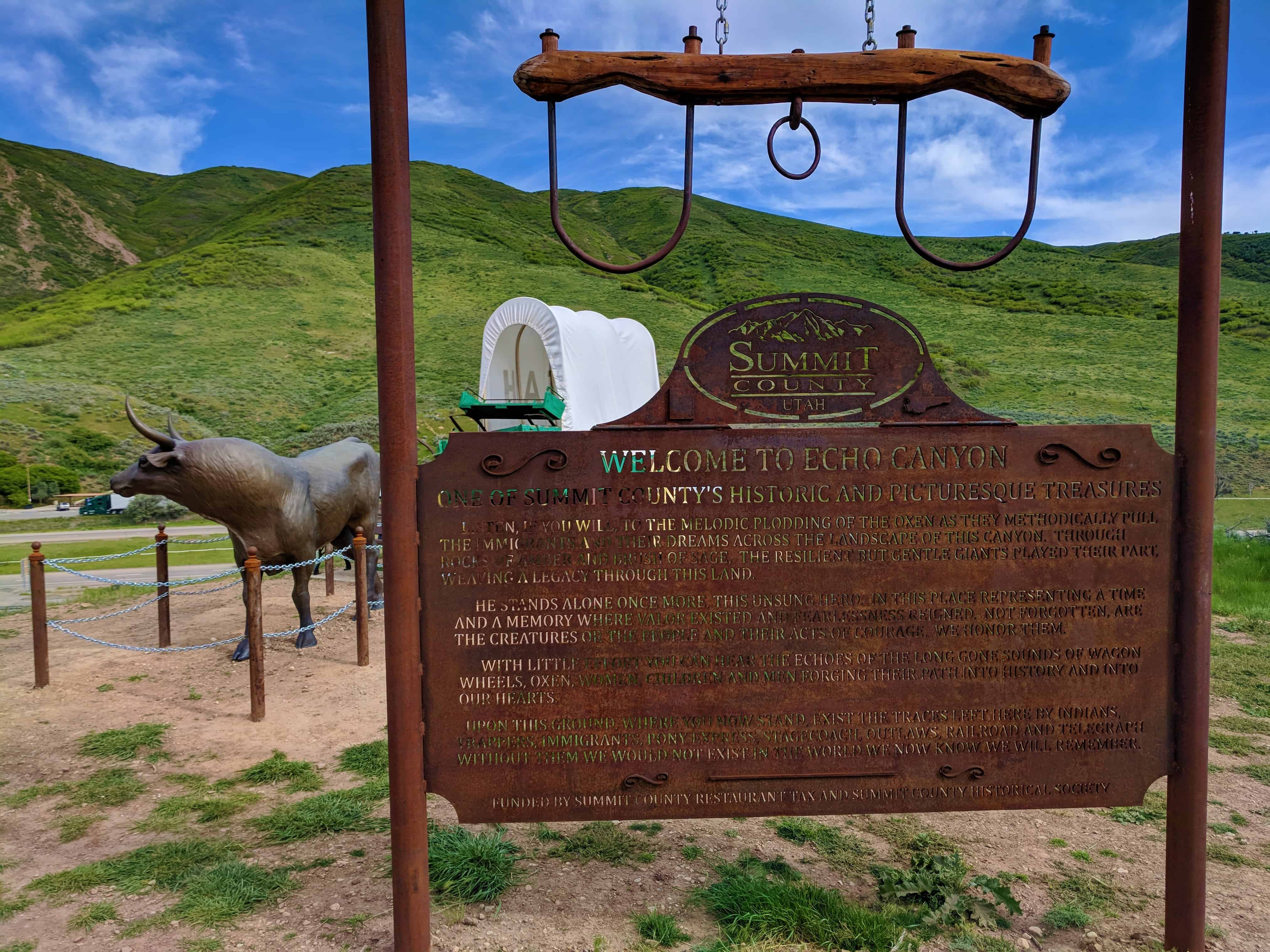
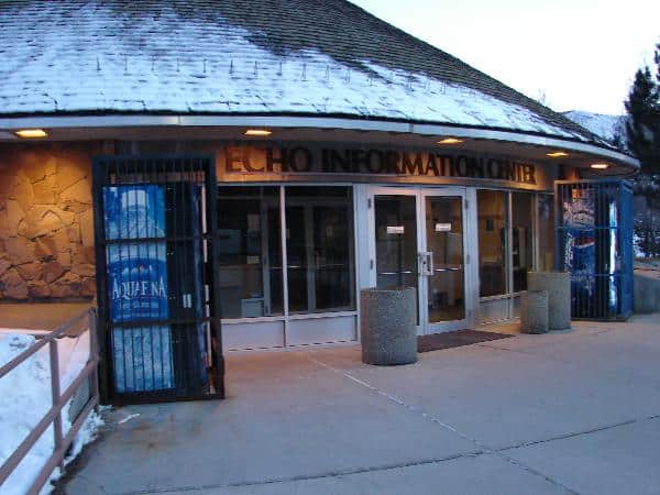
Captain Albert Tracy on April 7, 1860 reported that the station at the mouth of Echo Canyon was being used for a system of relays known as the “Pony Express.” The next day he was passed by Dave, the Express Boy, on his Kentucky Racer going east in a snow storm. John Ridge in July 1861 stated that a good supper can be had at Weber Station.
James E. Bromley, division superintendent from Pacific Springs, Wyoming to Salt lake City for the Pony Express Company settled at this site.
Originally there were two wood buildings at the site, the station and the stables. More substantial buildings were built later to serve the stage line and then the railroad. These original two buildings stood at this site. Later on Echo City was laid out by the Union Pacific Railroad.
Along the entire trail, from St. Joseph, Missouri to Sacramento, California, “horse stations” were established every 40 to 80 miles, providing riders with meals, lodging, and fresh mounts. “Swing stations” were 8 to 12 miles apart, offering water and a change of horses.
Russell, Majors, and Waddell, owners of the Central Overland California & Pike’s Peak Express Company, employed James E. Bromley to establish and operate Weber Station. The station was located about 5 miles to the southeast, at the mouth of Echo Canyon. Local residents James and William Hennefer or Charles and Louisa Richins would have seen young riders William Page and George Little gallop by on the way to and from “Bromley’s Station.”
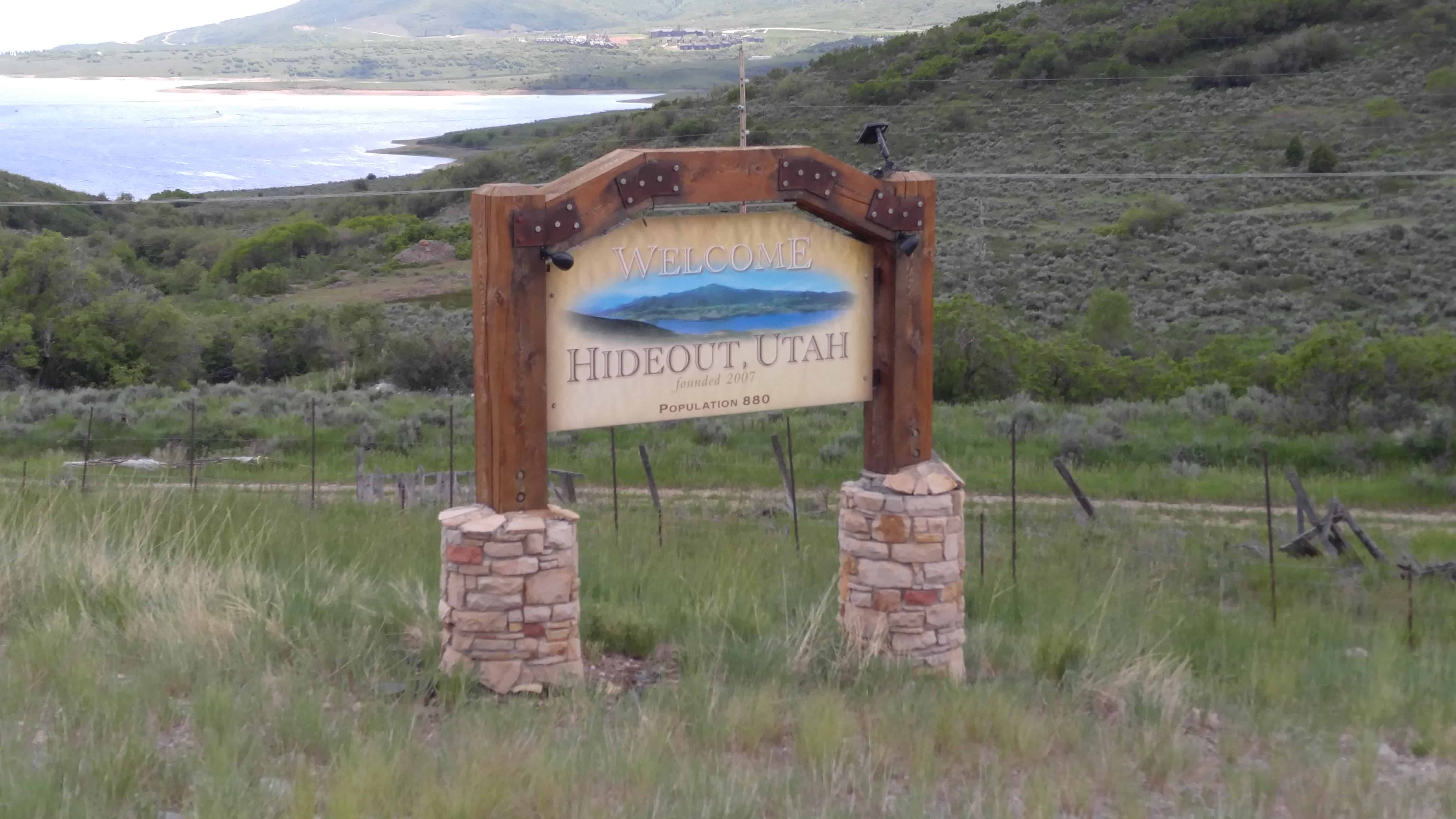
Hideout, Utah, established July 2008, with a population of 820 residents. Hideout encompasses approximately 2,500 acres and borders the shores of the Jordanelle Lake. There are miles of shoreline trails and connections to Park City, and this, along with surrounding area trail systems, makes Hideout an outdoor enthusiast community. Our town boasts breathtaking views of Deer Valley, the Wasatch Mountains, and the Jordanelle Lake. In the short period of time the Town of Hideout has been established, there have been many improvements to the area. This is largely due to the fact that the area now has local representation. The governing body is focused on and concerned about the area and its residents’ needs.(*)
Just outside Francis to the west, this red and white “classic American barn” with gambrel roof is an example of an 1850s Improvement Era barn, which combined a traditional barn with a milking parlor and loafing shed.
Rasmus R. Larsen, a Danish immigrant, purchased the acreage in 1908 and created one of the first farmsteads in the early 1930s. The property transferred to Frank Sorenson and Herbert Auerbach in the late 1930s, and the barn has been known as the Auerbach Barn ever since.
The name is simply the reversal of the name of the nearby city of Kamas.
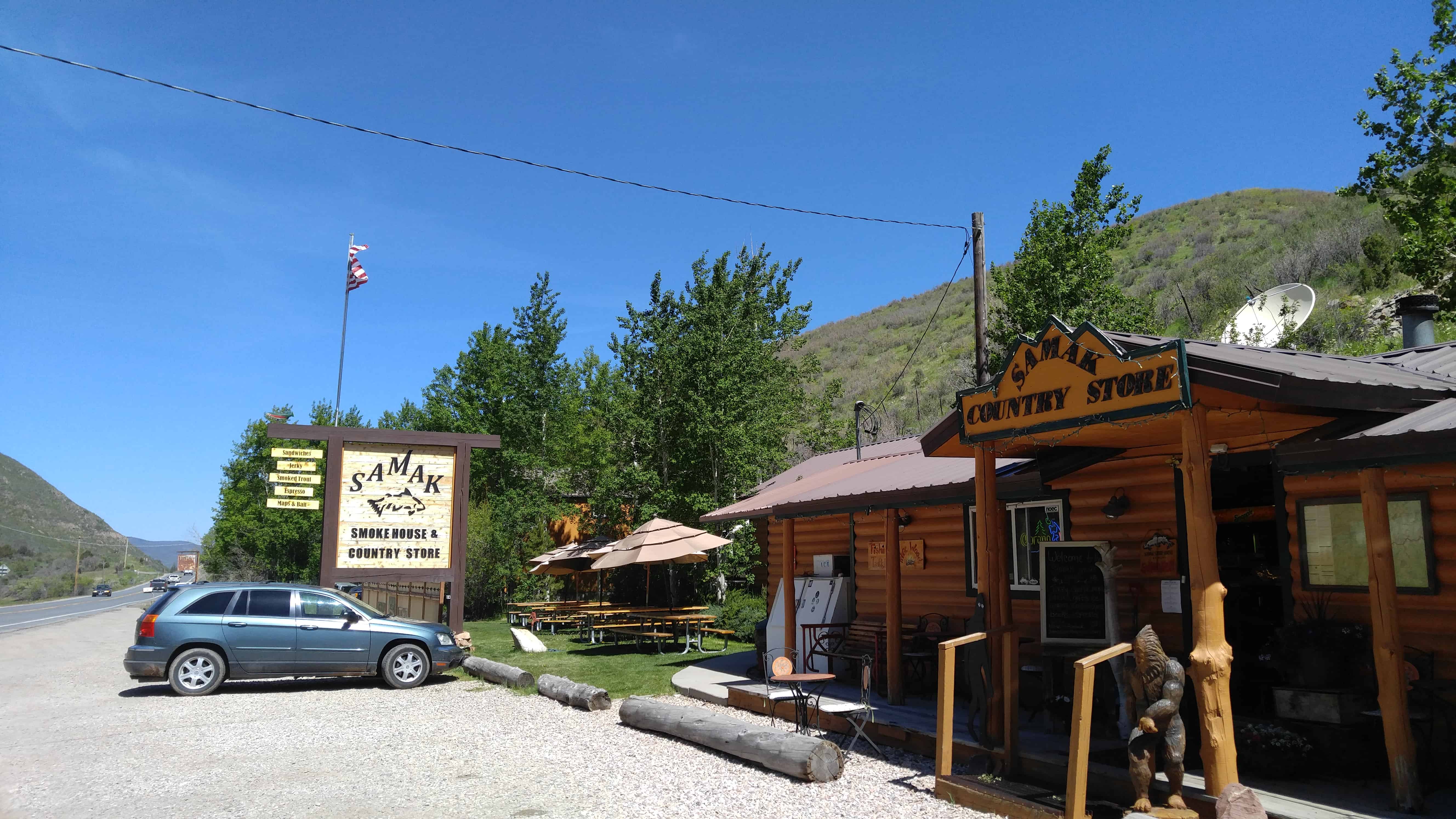
Samak is home to the Samak Store and Smoke House, a general store known for its homemade smoked meats, including beef and turkey jerky and trout. The store is operated year-round and is a popular destination for tourists headed into the Uinta Mountains.
Henefer is located between Echo and Morgan. It was first settled by two brothers, James and Richard (William) Hennefer. They established a blacksmith shop there in 1859 on the old Overland Stage Road. It was originally called Henneferville.
In 1860 a pony express station was built here which started the town. A school was built in 1872 and continued until 1937.
The site of the former town of Castle Rock and the former Pony Express Station is at N 41.11238 W 111.20466, a little down the canyon from the current junkyard and freeway exit with the same name.
The station at the head of Echo Canyon was also known as Frenchies and Castle Rock. It was a contract station on the Pony Express and Stage route. Jabusch believes that the station originally stood in the abandoned town called Castle Rock, which was located about a mile and a half down the canyon from the present junk yard site known as Castle Rock. The structure was apparently built of logs, and after being sold to a French trapper in 1867, was moved up to the canyon to the junk yard site, owned in recent years by the late Curtis Moore.Traveler and author Horace Greeley did not enjoy the ride through Echo Canyon. His description:
“The canyon reminded me afresh that evil and good are strongly interwoven in our earthly lot. Throughout the desolate region which stretches from the Sweetwater River nearly or quite to Bridger, we had in the main the best natural road I ever traveled…. But in this fairly-grassed ravine, hemmed in by steep, picturesque bluffs… we found the ‘going decidedly bad,’ and realized that in the dark it could not be but dangerous.”
Burton, who often found little to praise on the western frontier, seemed to be fascinated with the “picturesque bluffs.” Despite a team of unbroken and rather fractious mules he wrote,
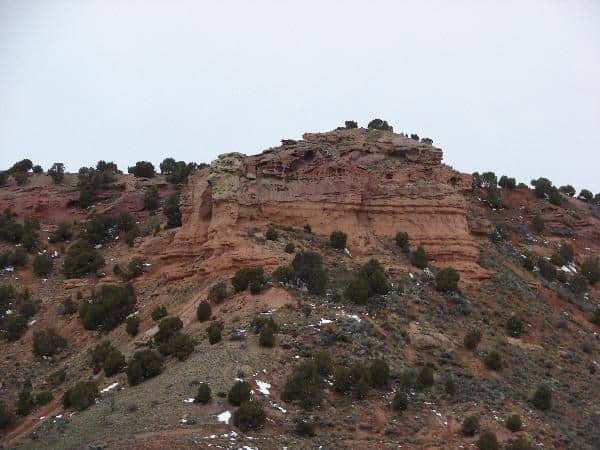
“A whole Petra was there, a system of projecting prisms, pyramids, and pagoda towers, a variety of form that enabled you to see whatever your peculiar vanity might be; columns, porticoes, facades and pedestals. Twin lines of bluffs, a succession of buttresses all fretted and honey-combed, a double row of steeples slipped from perpendicularity, frowned at each other across the gorge. And the wondrous variety was yet more varied by the kaleidoscopic transformation caused by change of position: at every different point the same object bore a different aspect.”Echo Canyon has but one fault: its sublimity will make all other similar features look tame.”
Back to the southeast, and unfortunately on private land, one finds the well-known trail landmark called Cache Cave. The cave was a popular camping spot on the emigrant trail, and, high up on the cave walls where livestock cannot rub, the names of many Mormon Pioneers can still be seen.Information provided by Patrick Hearty, NPEA Utah, 2005.
The transformation of the town into a ski resort is primarily attributed to the silver need during (and after) World War I economy. The war and Great Depression were crippling the economy. Once the site of the largest silver-mining camp in the country, the town was virtually destroyed by fire in 1898. Tragedy struck again in 1902 when 34 miners were killed in an explosion in the Day West Mine. The mining community never fully recovered and the miners resorted to desperate measures. These desperate measures were based on the need to revive the economy, and in doing so the miners gave up their mining heritage, turning to the rising interest in the West and skiing. The silver industry was suffering severely, and the town was hanging by a thread when ‘Parkite’ miners presented to Utahns Inc. a proposal for a ski resort called Treasure Mountain which ended up saving the town. This ski resort opened in 1963 on 10,000 acres of land the miners owned with mineral rights. This is said to be when tourists first largely began to visit Park City. This marks the beginning of the ski industry largely promoted by the Utah State Legislation as a destination resort.
Since the rise of the skiing and tourist economy, Park City houses more tourists than residents. It has become a place of fame through the 2002 Winter Olympic games and provides more attractions than ever before. In the 1950s, Utah began to feed on Park City as a mountain getaway, and not until D. James Canon promoted winter sports in Utah, with the promotional scheme of “Ski Utah” and “The Greatest Snow on Earth” did many drive to see the city. Utah drew in over 648,000 tourists in 1970 and now a yearly average of 4 million tourists. In a small town with a population of 8,000, the average number of tourists in Park City is 600,000 per year. This significant increase in visitors could be credited to promotional material that is carefully planned and distributed by the Utah Publicity and Tourist Council. Growth has accelerated in the last few decades, and Park City is now one of the most affluent and lively resort towns in the United States.
The tourist industry now contributes over one third of the total economic value to the state of Utah. In particular, Park City draws in 3,006,071 average annual visitors; in the winter 1,603,775, and in the summer 1,402,296. Park City prospers from the average nightly visitor spending ranging from $100 to $350. Currently, Park City primarily relies on its tourist industry from skiing to restaurants to hiking and biking. The makeover of Park City has stimulated an entirely different culture of expenditure, adventure, and wealth, and their promotional material indulges it.
As long ago as the 1920s, miners in Park City were using underground trains and shafts to gain access to the mountain for skiing. Aerial trams once used for hauling ore were converted into chairlifts. To this day, there are still more than 1,000 miles of old silver-mine workings and tunnels beneath the slopes at Park City Mountain Resort and neighboring Deer Valley. Park City might be a fairly nondescript-appearing town were it not for its colorful and evocative Main Street, where 64 Victorian buildings are listed in the National Register of Historic Places. There are many remaining mine buildings, mine shafts (most blocked off from outsiders with large steel doors), and hoists, including the weathered remains of the California-Comstock and Silver King Mines and the water towers once used to hydrate one of the biggest mines, the Silver King, provide a hint of the history of this mining town transformed in economic upheaval into a skiing resort.
One of the earliest descriptions of the Kamas Valley was given in the report written in 1849 by Captain Howard Stansbury of the United States Army Corps of Topographical Engineers. He wrote: “It may be remarked here that the Camass Prairie consists of most excellent land and can be irrigated over its whole extent with comparatively little labor. Water for stock is abundant and timber for ordinary farming is plentiful and convenient.”
The word “Kamas” was derived from an Indian word for a bulbous plant that was a staple of the diet of Native Americans in the area. The word was also said to describe a small grassy plain among the hills, an appropriate portrait of the Kamas Valley.
Kamas is located about eighteen miles east of Park City and about forty-six miles southeast of Salt Lake City in a valley surrounded by the Uinta Mountains to the east, the Wasatch Mountains to the west, the Provo River on the south, and the Weber River to the north. Beaver Creek, a tributary of the Weber, traverses the center of the valley.(*)
The name was originally Rhoades Fort, then Fort Rhoades, then Rhoades Valley, then Kamas Valley and finally Kamas.