
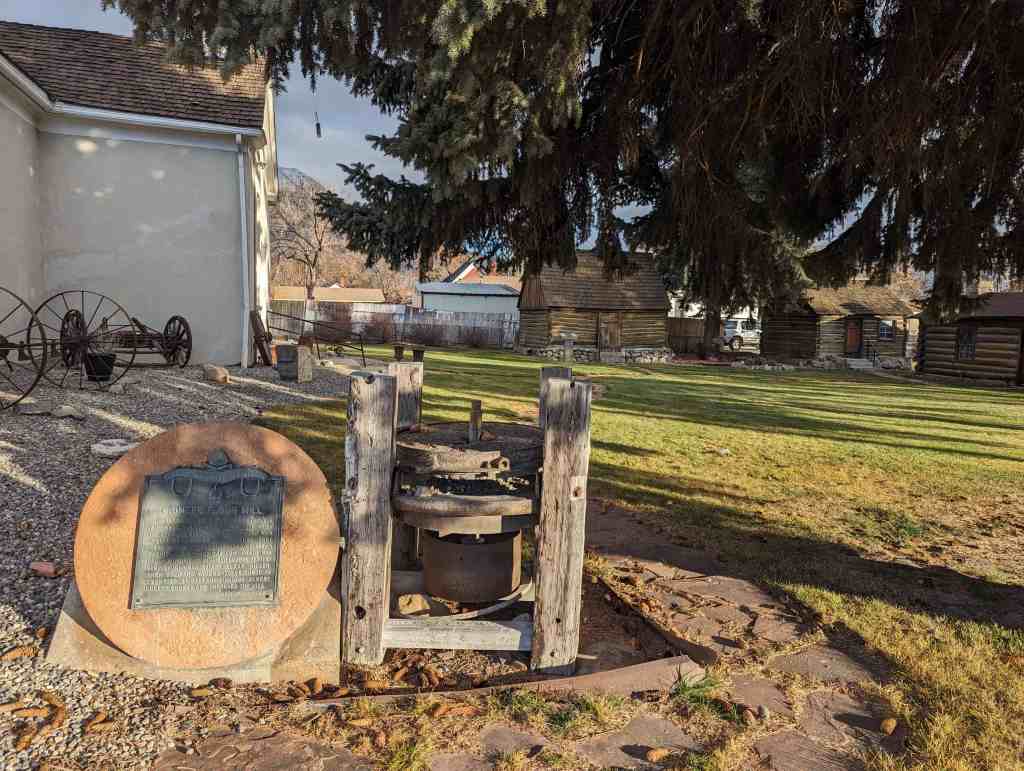
This wagon wheel display was an Eagle Scout Project by Brigham Porter in 2014, the wagon wheels were donated by the Nyle Green family.
This is located in Pioneer Park in Pleasant Grove, Utah.


27 Saturday Jan 2018
Posted in Uncategorized
This wagon wheel display was an Eagle Scout Project by Brigham Porter in 2014, the wagon wheels were donated by the Nyle Green family.
This is located in Pioneer Park in Pleasant Grove, Utah.
26 Friday Jan 2018
Posted in Uncategorized
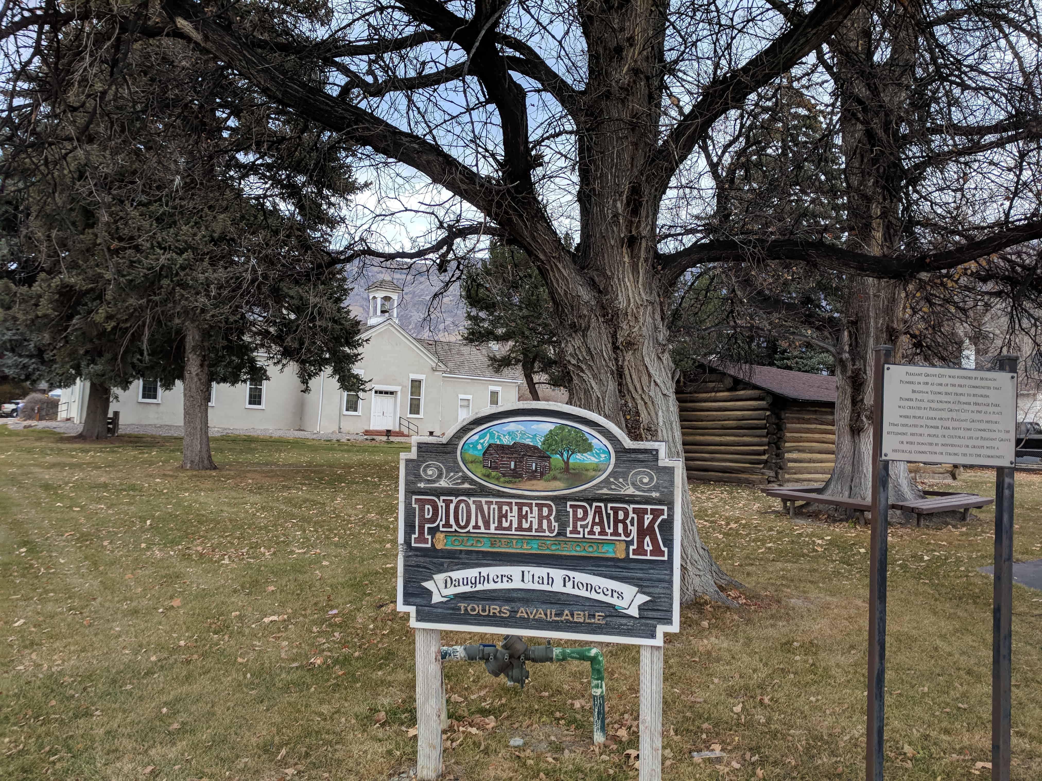
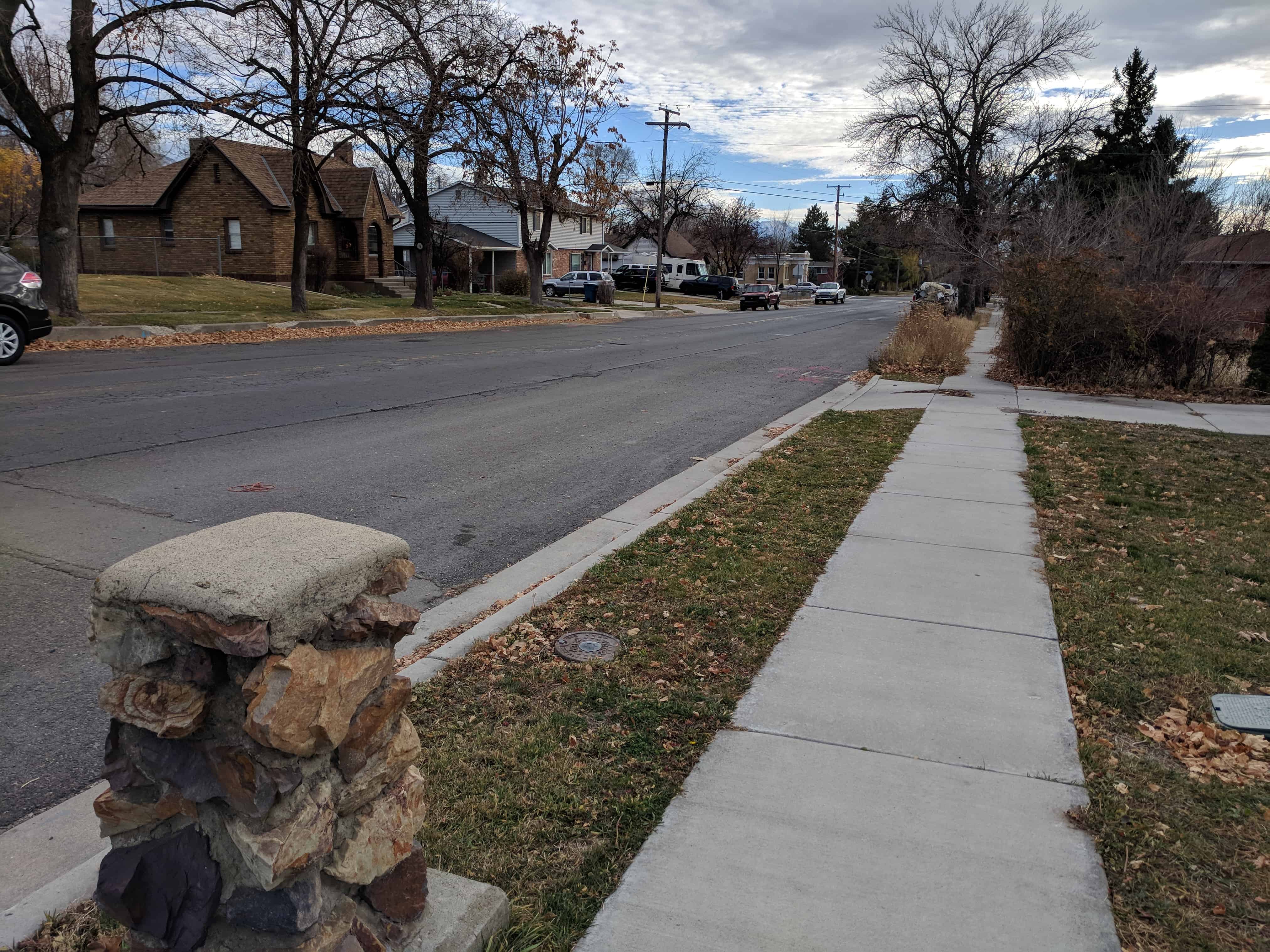
Pioneer Park, one of the parks in Pleasant Grove.
The park is in two different sections (two different city blocks), the southern one is sometimes called Rose Garden Park.
Related posts of things in Pioneer Park:
Related posts of things in Rose Garden Park:
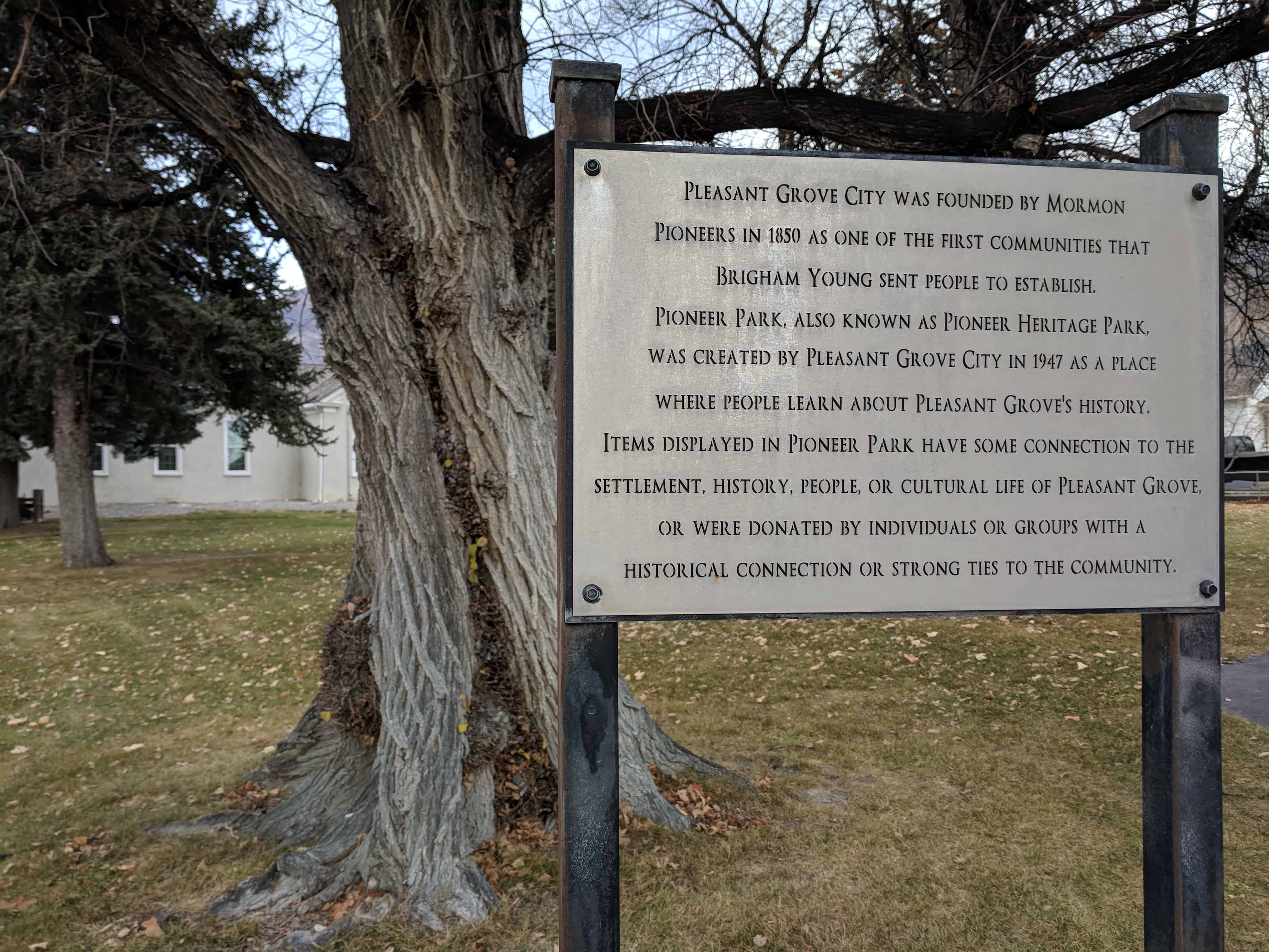
Pleasant Grove City was founded by Mormon Pioneers in 1850 as one of the first communities that Brigham Young sent people to establish. Pioneer Park, also known as Pioneer Heritage Park, was created by Pleasant Grove City in 1947 as a place where people learn about Pleasant Grove’s history. Items displayed in Pioneer Park have some connection to the settlement, history, people or cultural life of Pleasant Grove, or were donated by individuals or groups with a historical connection or strong ties to the community.


26 Friday Jan 2018
Posted in Uncategorized
Tags

The Parks in Pleasant Grove, Utah
26 Friday Jan 2018
Posted in Uncategorized
Tags
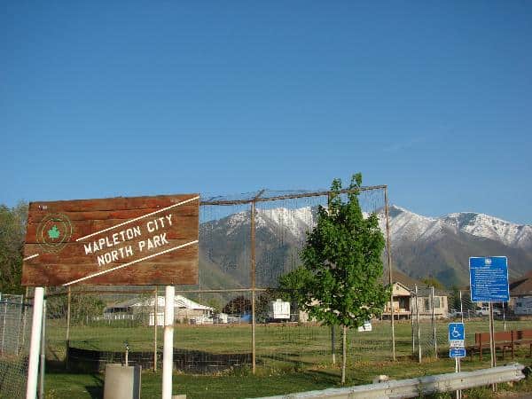
Parks located in Mapleton, Utah.

26 Friday Jan 2018
Posted in Uncategorized
Tags
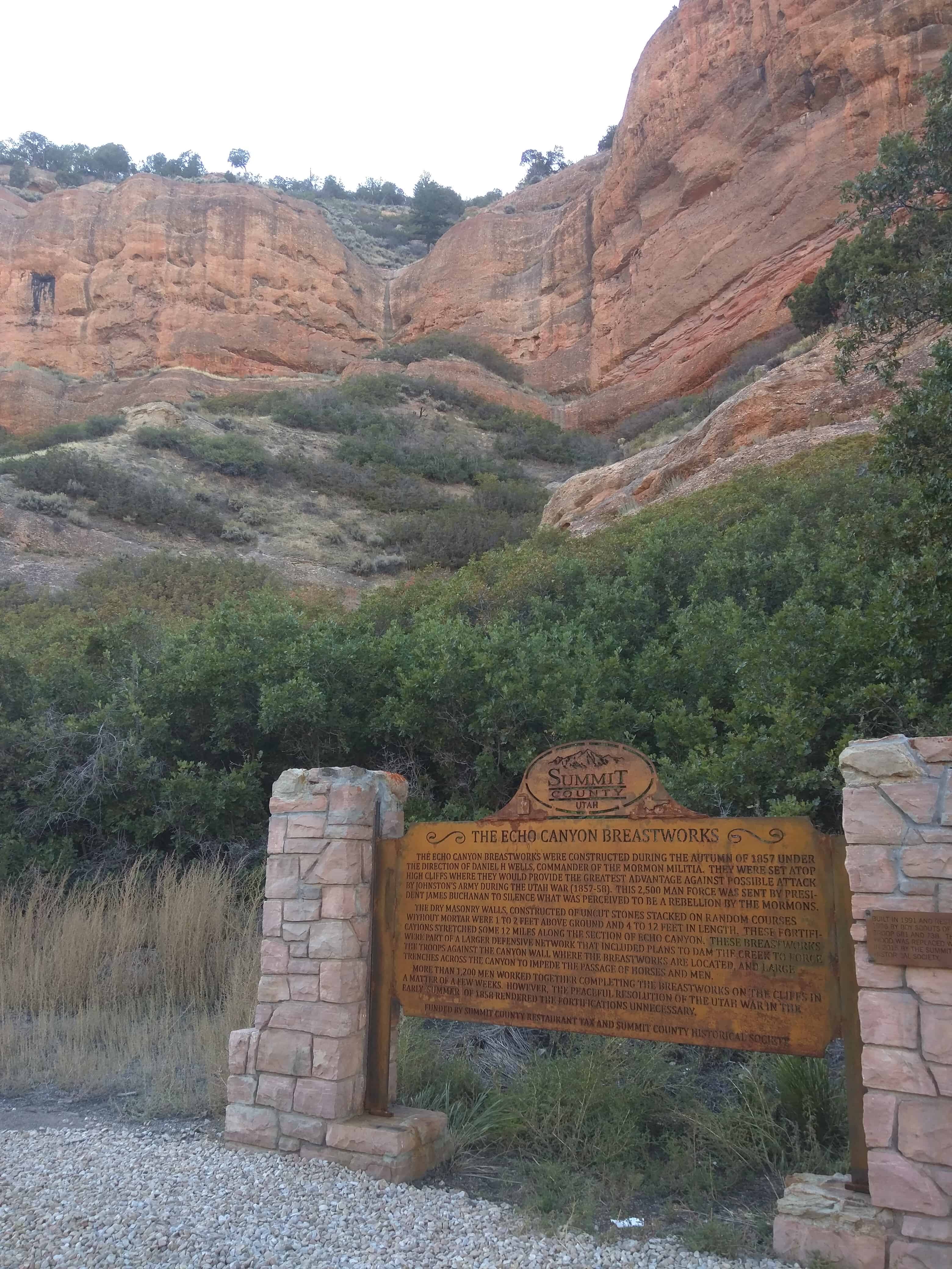
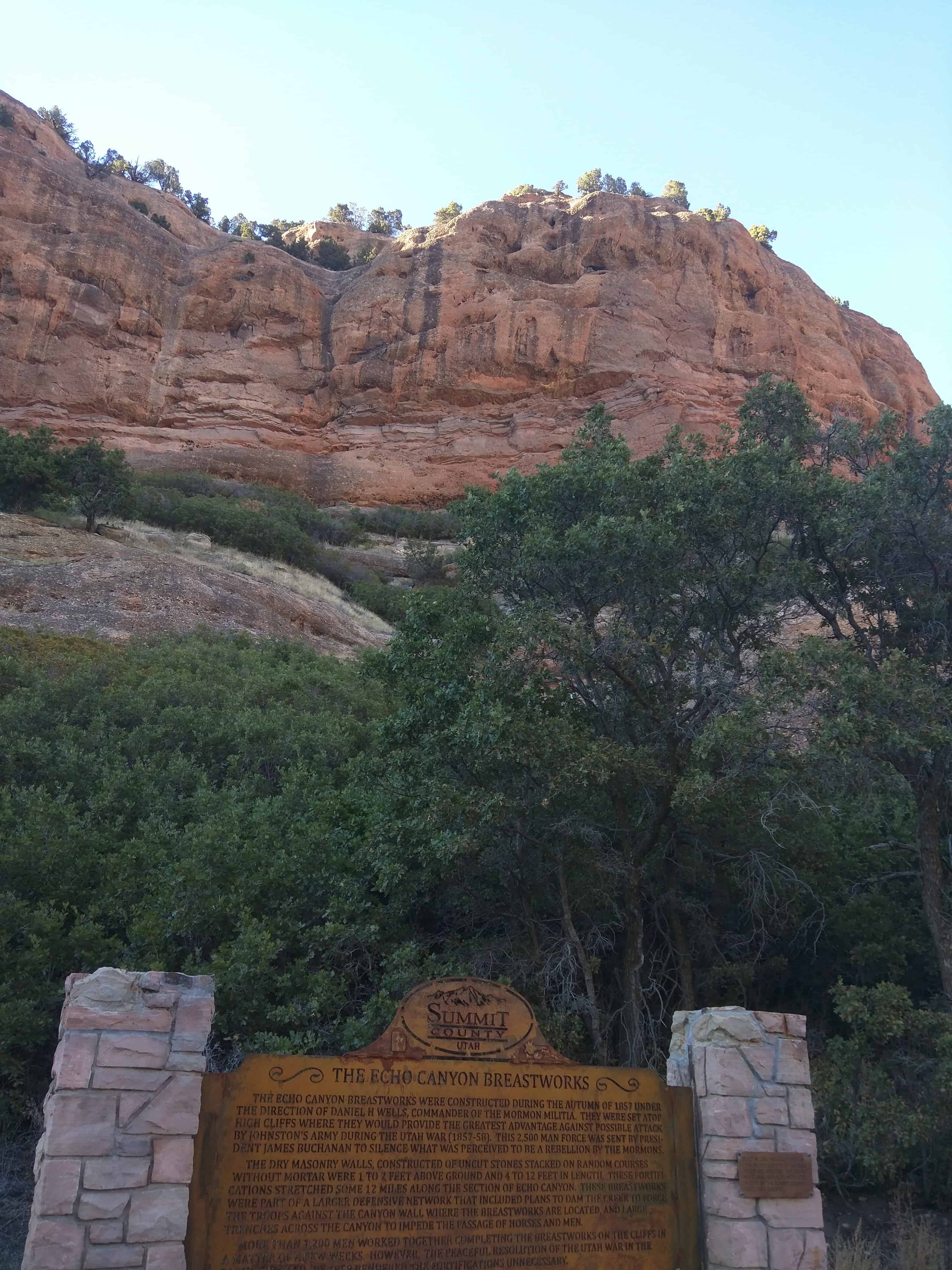
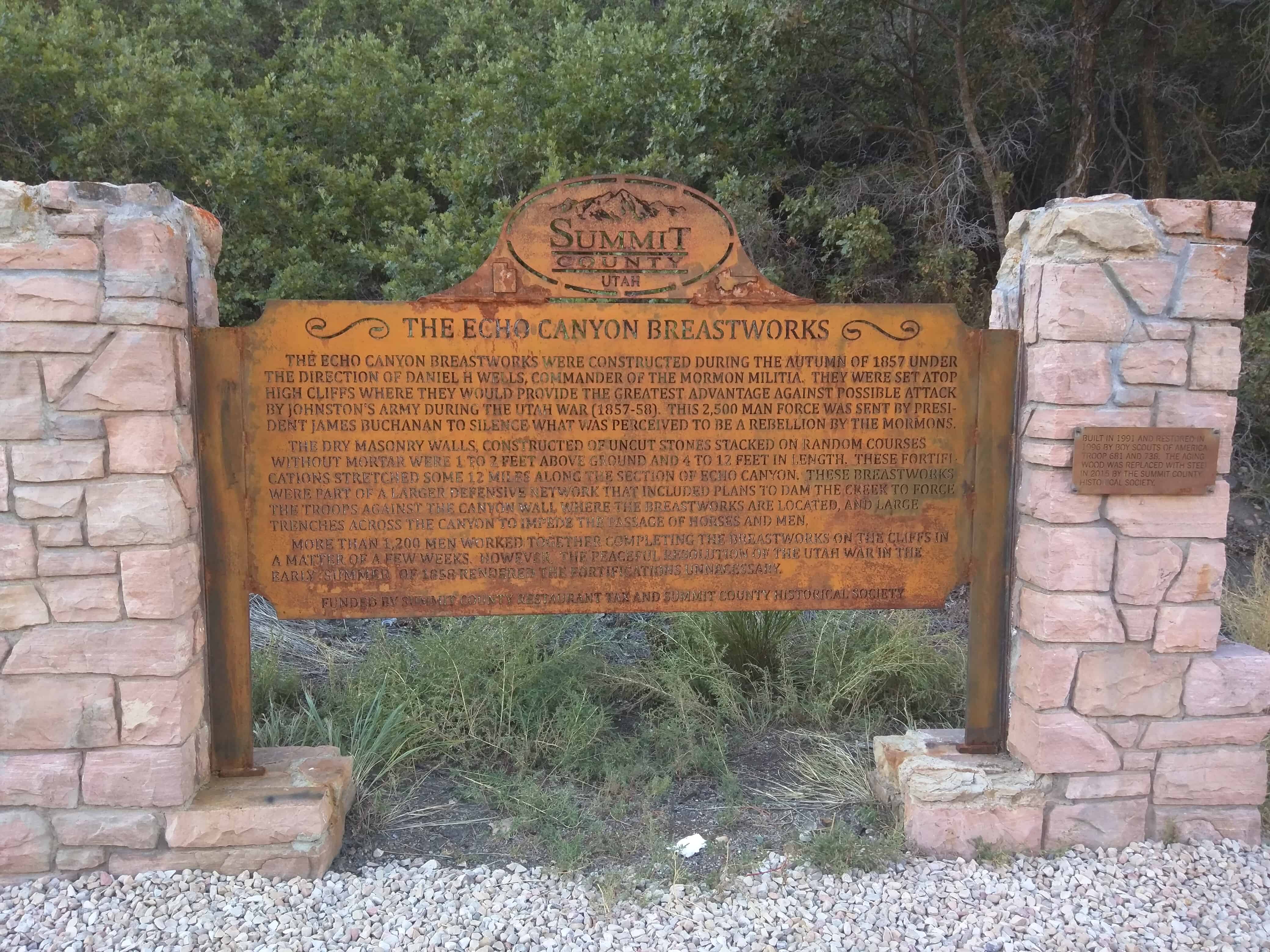
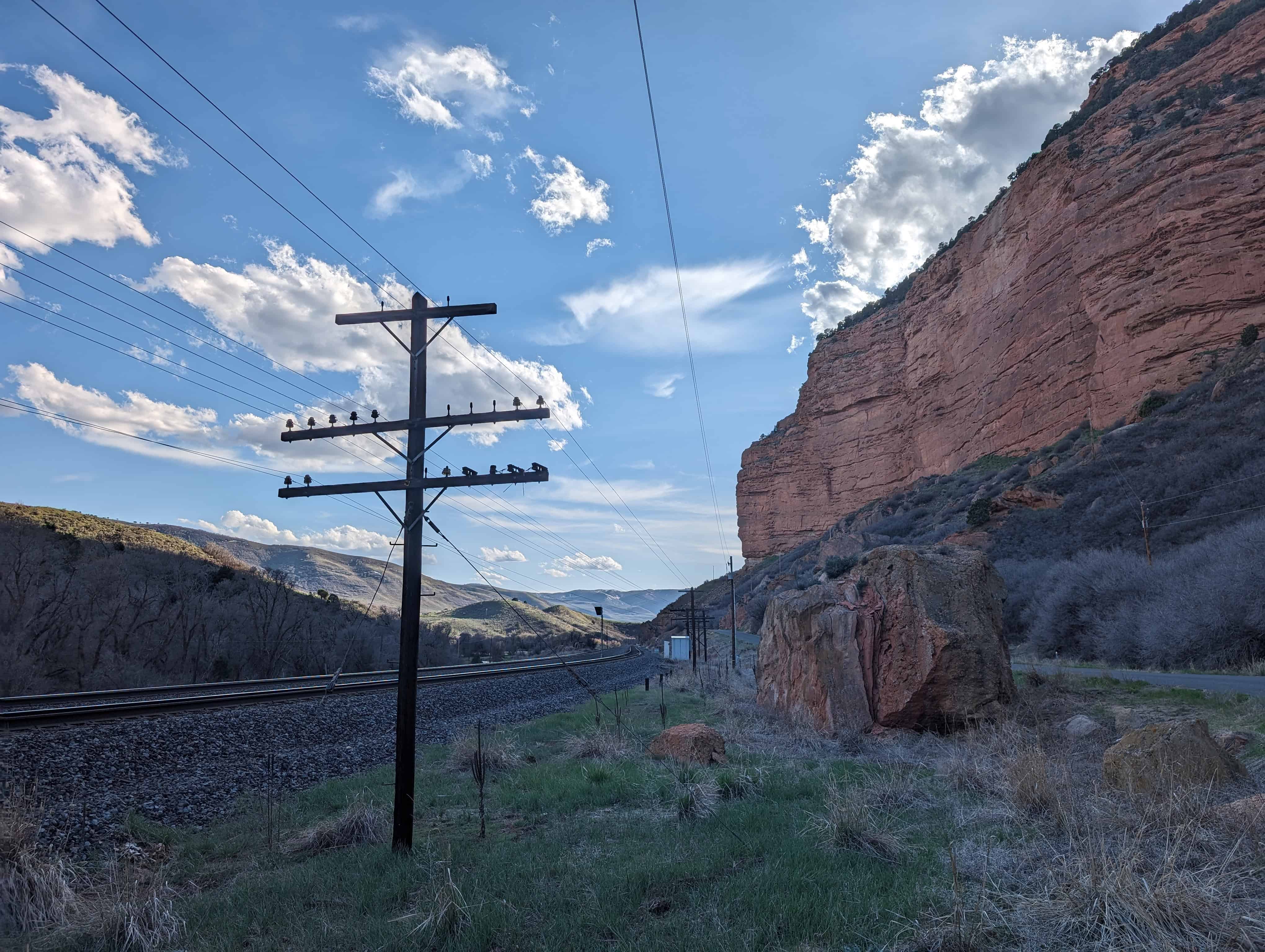
The Echo Canyon Breastworks
The Echo Canyon Breastworks were constructed in August of 1857 under the direction of General Daniel H. Wells, commander of the Mormon Militia. They were set atop high cliffs where they would provide the greatest strategic advantage against possible attack by Johnson’s Army during the war 1857-58. This 2500 man force was sent to the territory by President James Buchanan to silence what was perceived to be a rebellion by the Mormons.
The dry masonry walls constructed of uncut stones stacked in random courses without mortar were two feet above ground and four to twelve feet in length. These fortifications stretched some twelve miles along the narrowest sections of the canyon. These breastworks were part of a larger offensive network that included plans to dam the creek to force the troops against the canyon wall where the breastworks are located, and large trenches across the canyon to impede the passage of horses and men.
More than twelve hundred men worked together completing the breastworks on the cliffs in a matter of a few weeks. However, the peaceful resolution of the Utah War in the early summer of 1858 rendered the fortifications unnecessary.


26 Friday Jan 2018
Posted in Uncategorized
Tags
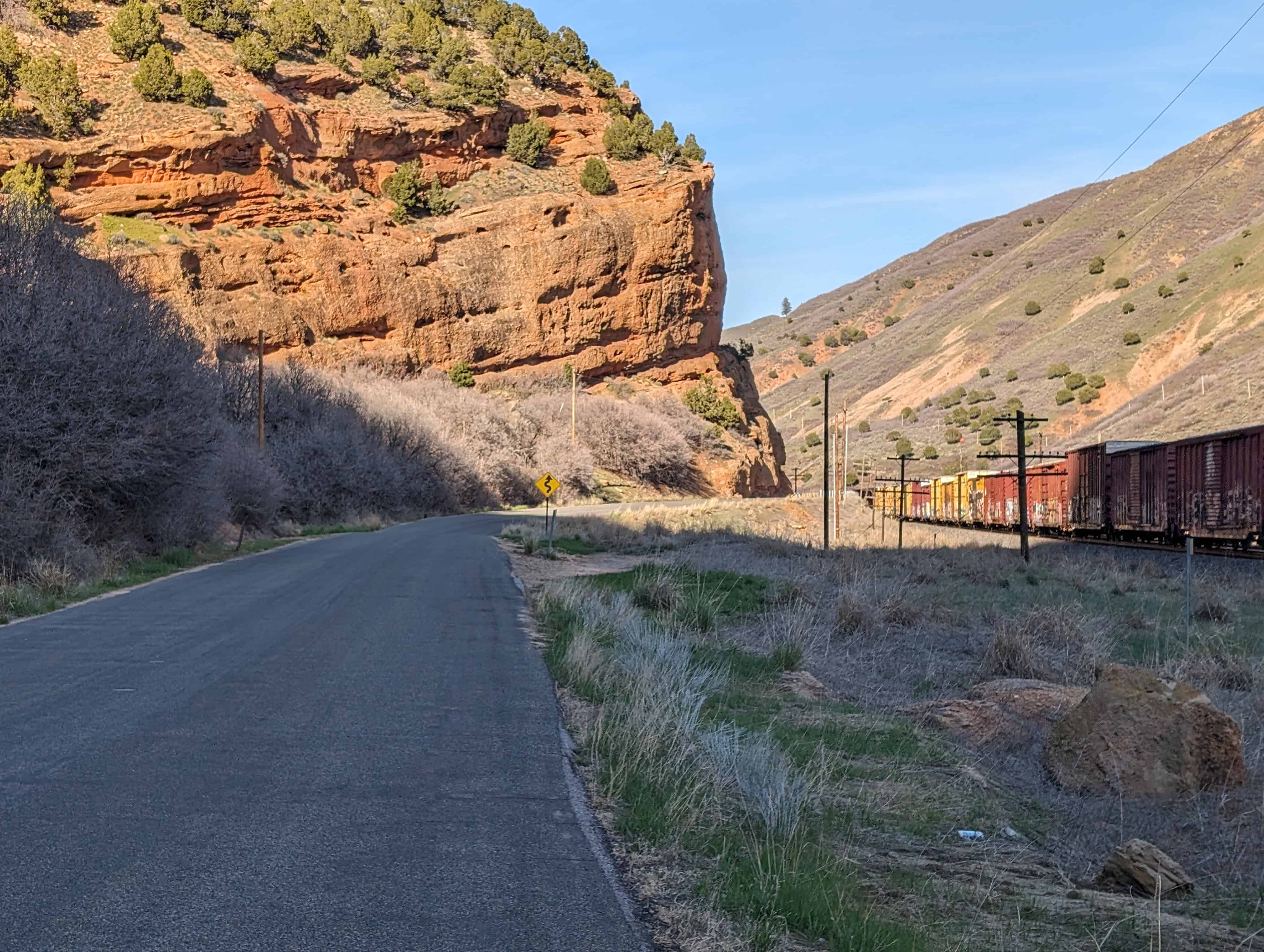
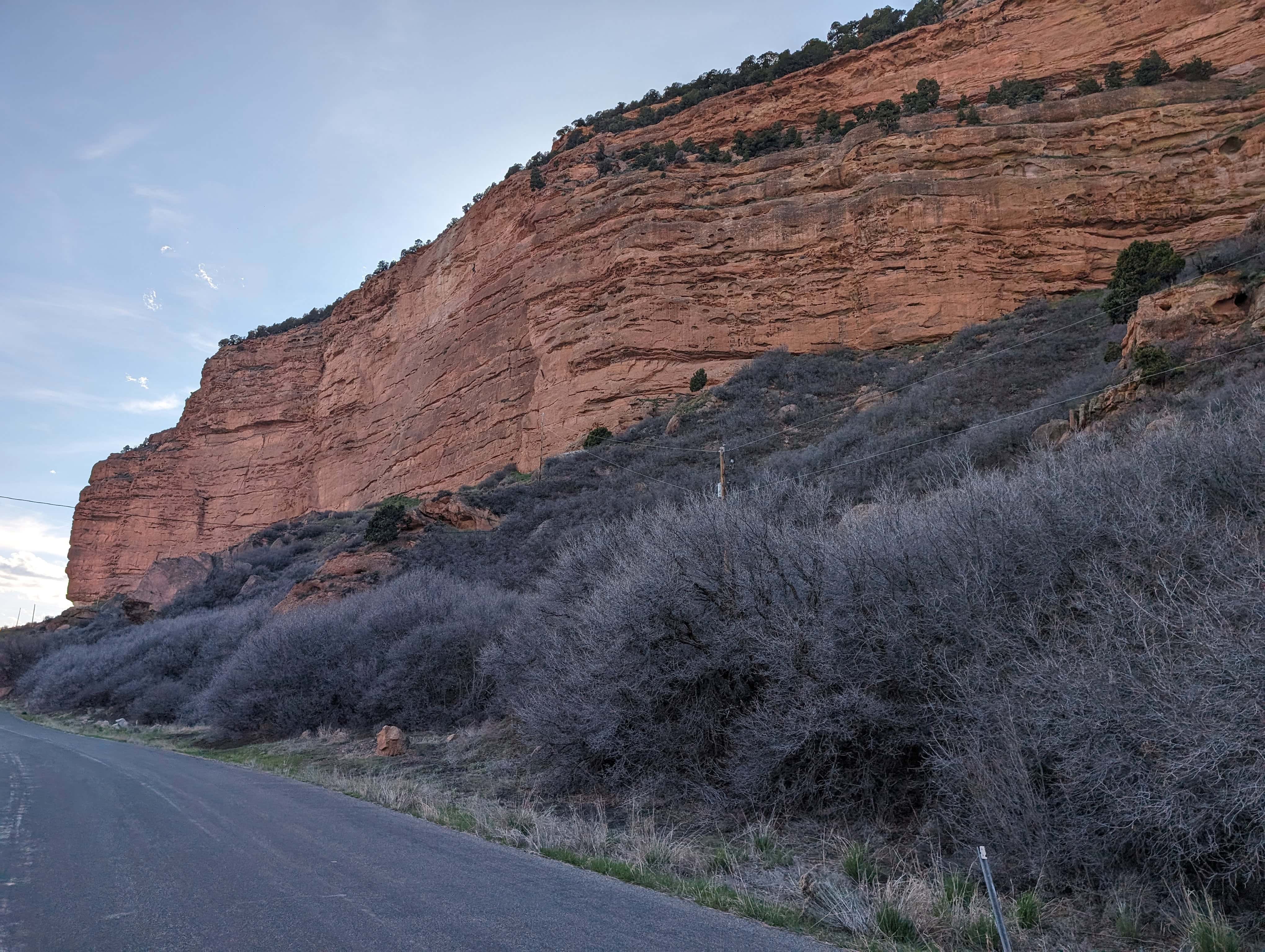
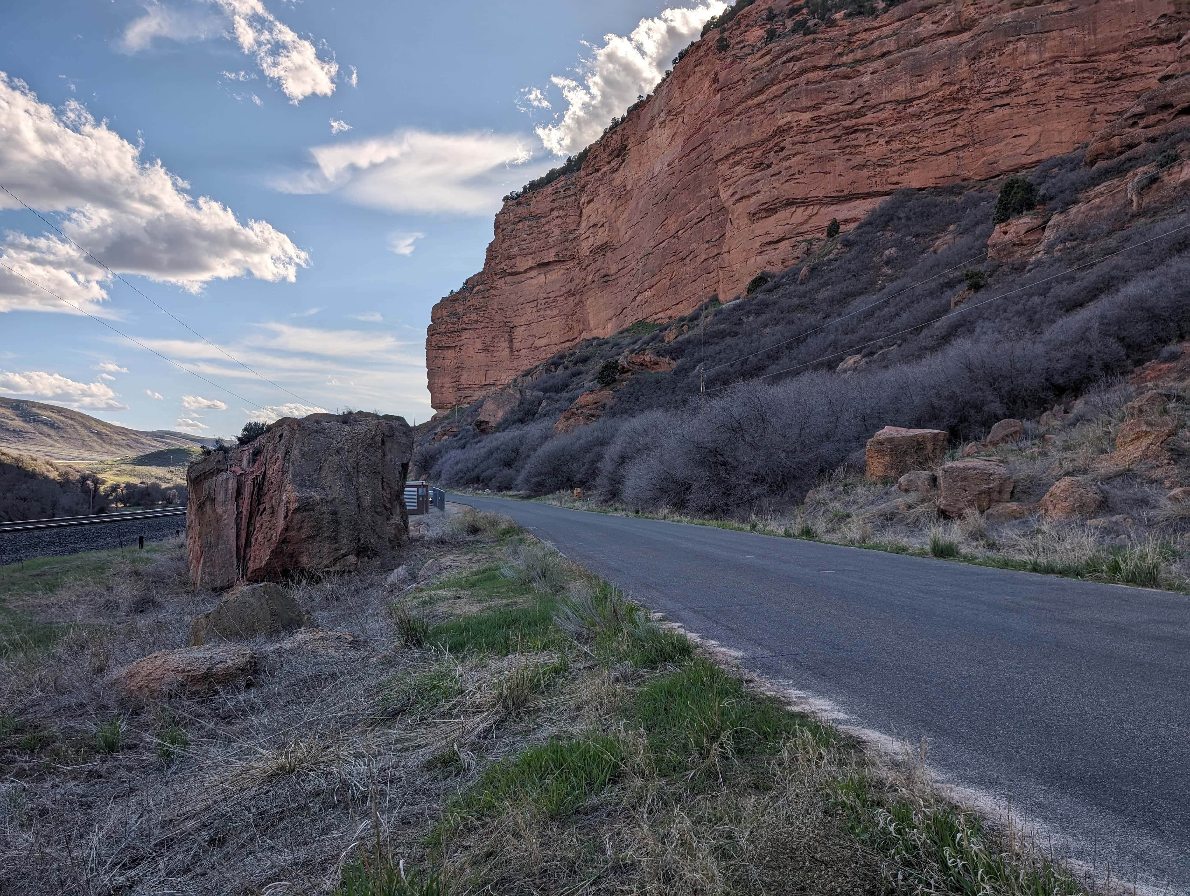
Posts related to Echo Canyon:
Movie / TV Show filming locations in Echo Canyon:
25 Thursday Jan 2018
Posted in Uncategorized
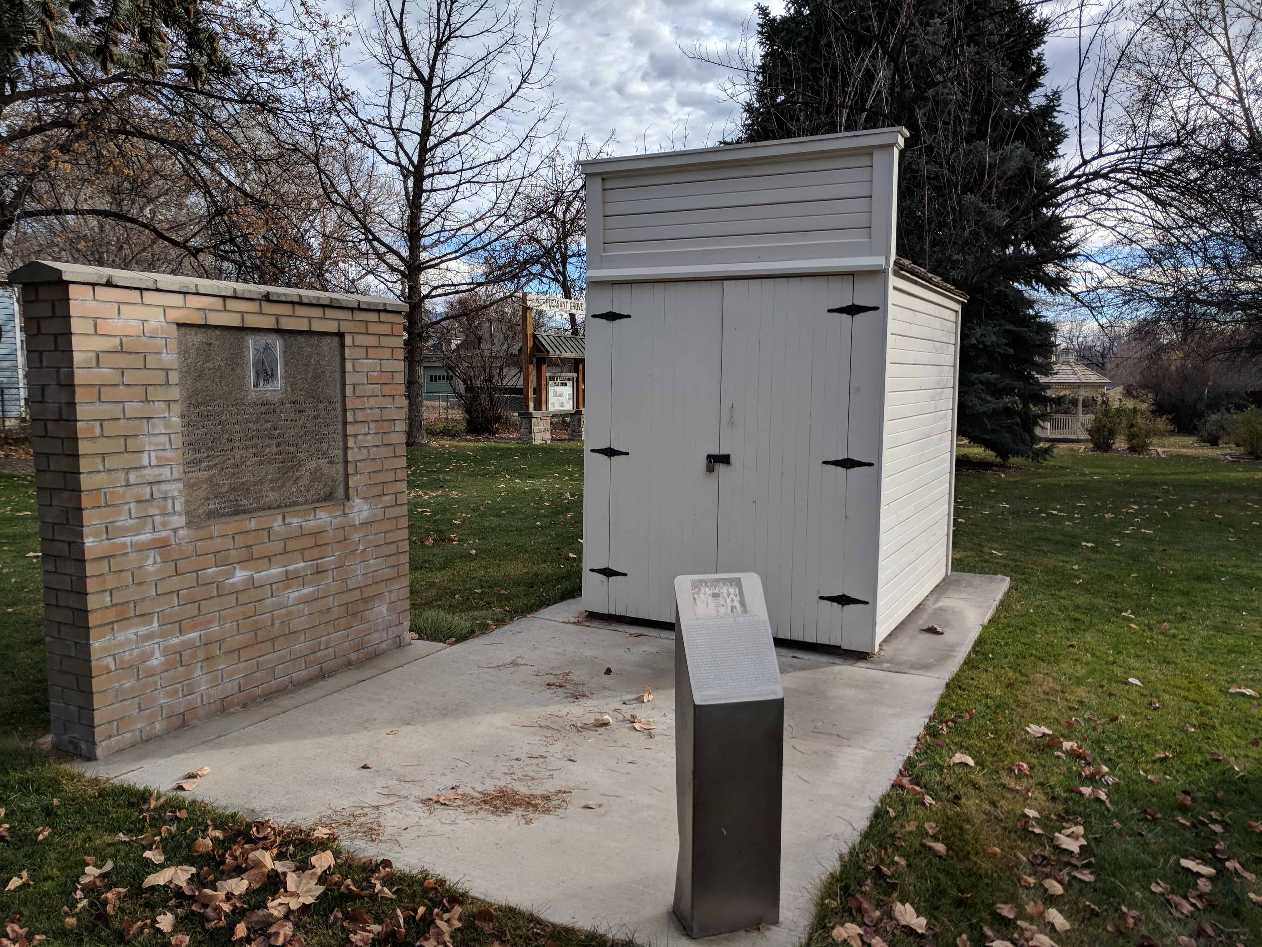
Pleasant Grove’s First Fire Station
Pleasant Grove’s Fire Department was first organized in 1906. A hand drawn hose cart with 300 feet of hose, and one nozzle was purchased from ZCMI for the price of $210.75. After unsuccessfully recruiting citizens to man the hose cart, the city council appointed Josiah “Si” Kemp on February 21, 1910 to oversee the Fire Department with Hans Williamson, Assistant Fire Chief, and Henry Jeppson, Chris Williamson, Anton Hecker, Clarence Christiansen and Ole Christiansen as charter firemen. In 1910, three chemical fire extinguishers, and an up-to-date nozzle were purchased and the original hose cart was reconstructed to carry these new items. In 1912 Chief Kemp recommended to the City Fathers that the hose cart be moved from a warehouse to a more convenient location. The City Council approved construction of the fire station in 1912, and directed that it be built near the city hall. Two years later the city purchased the Old Bell School from the Pleasant Grove School District. The south door of the building was enlarged so fire fighting apparatus could be stored in the old school. The school bell was rung to summon firemen. On October 19, 1914 the City declared the building surplus and sold it to Chris and Delilah Fugal. The Fugals moved this little fire station to their property and used it as a storage shed for the next 85 years. Mary Fugal Howes, daughter of Chris and Delilah Fugal, donated the little fire station to the Pleasant Grove Fire Department, and in 1999, members of the Pleasant Grove Fire Department transported it to their facility for restoration. Fireman Lyman Smith spent many hours restoring the original wood to exact historic specifications. After restoration, this little fire station was placed in Pioneer Park near it’s original site.
This marker was made possible by the Pleasant Grove Volunteer Fire Department and the Pleasant Grove Historic Preservation Commission.
This historic marker is located in Rose Garden Park/Pioneer Park at 107 South 100 East in Pleasant Grove, Utah


23 Tuesday Jan 2018
Posted in Uncategorized
Tags

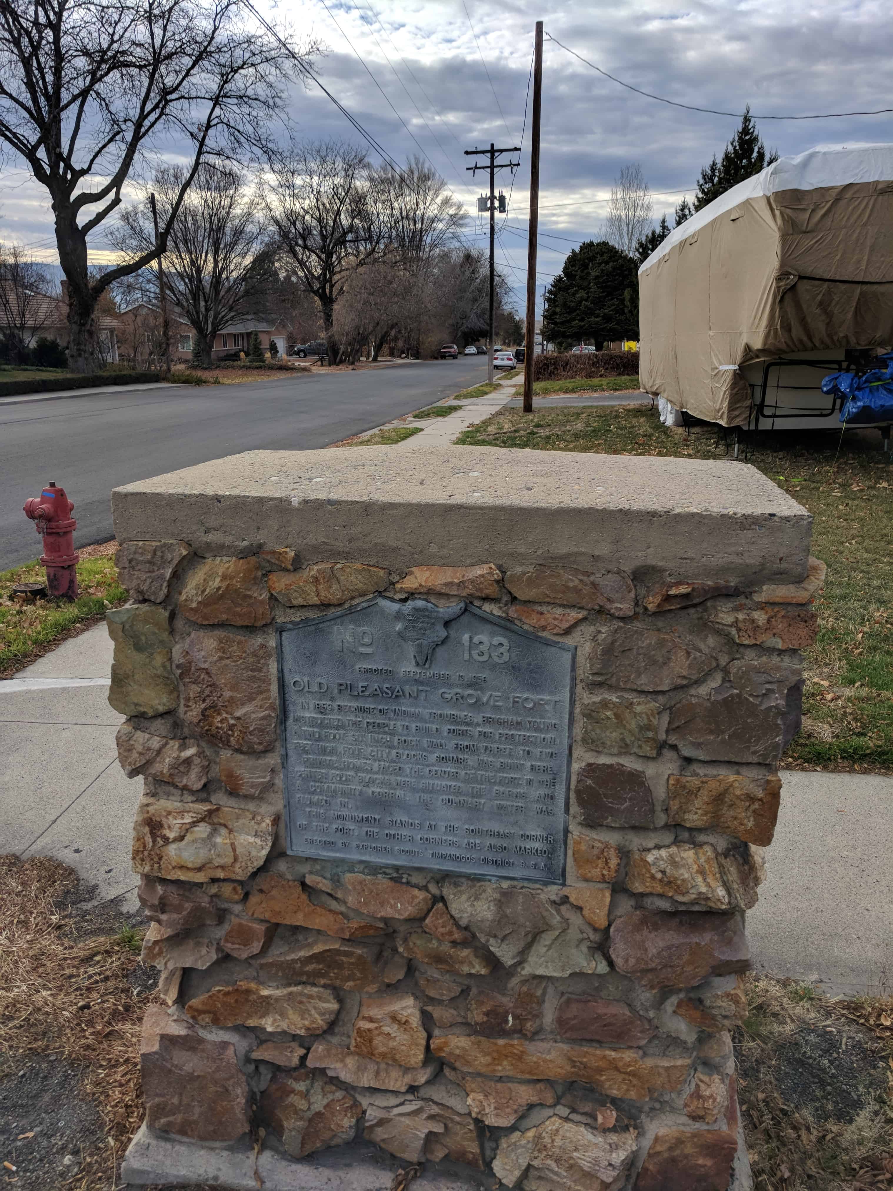
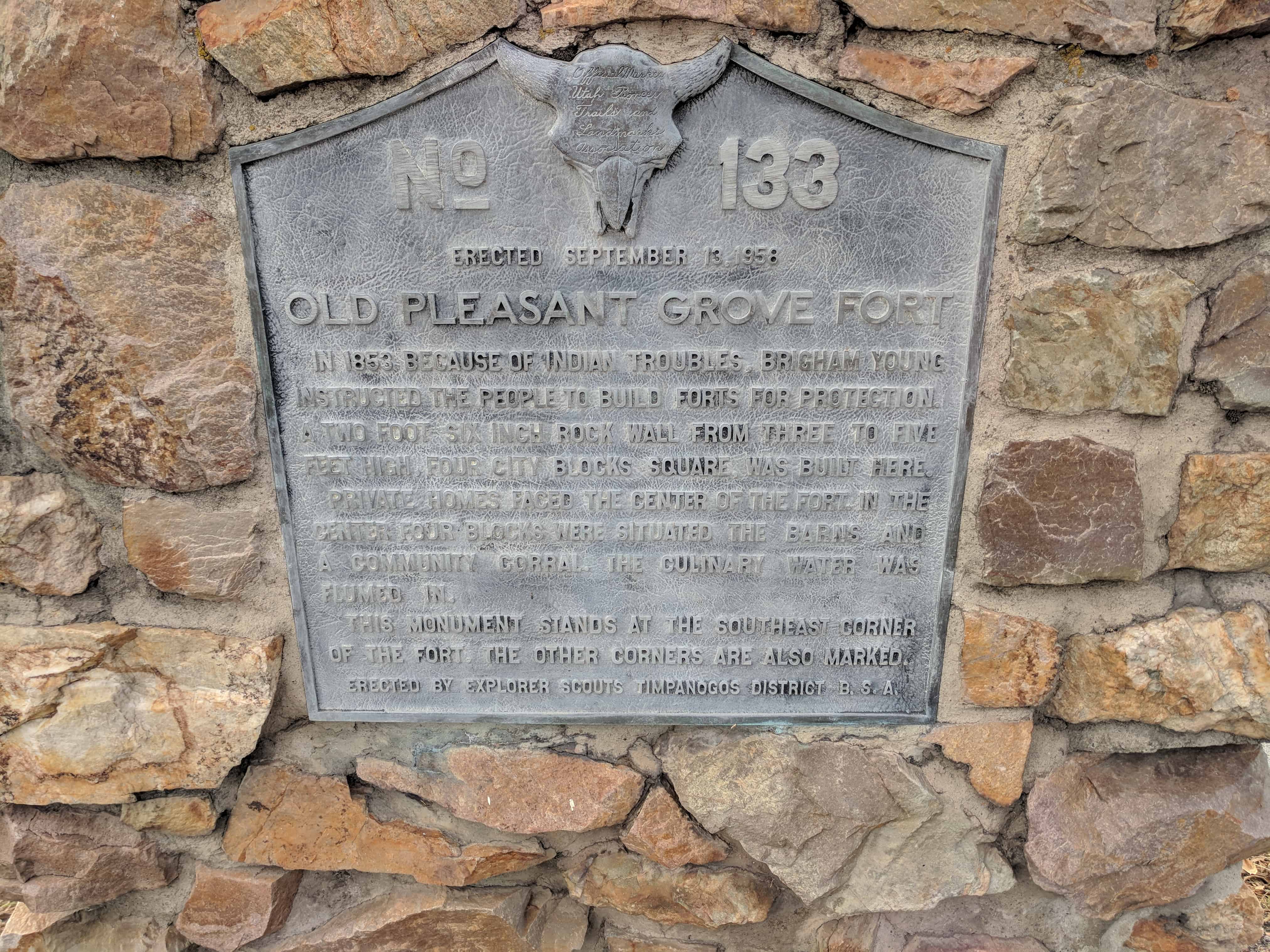
U.P.T.L.A. Marker #133 – Old Pleasant Grove Fort
Located at 300 South 300 East in Pleasant Grove, Utah
See also Pleasant Grove Fort.
In 1853 because of Indian troubles, Brigham Young instructed the people to build forts for protection. A two foot six inch rock wall from three to five feet high, four city blocks square, was built here.
Private homes faced the center of the Fort. In the center four blocks were situated the barns and a community corral. The culinary water was flumed in.
This monument stands at the southeast corner of the Fort. The other corners are also marked.
See other U.P.T.L.A./S.U.P. Markers here.
23 Tuesday Jan 2018
Posted in Uncategorized
Tags
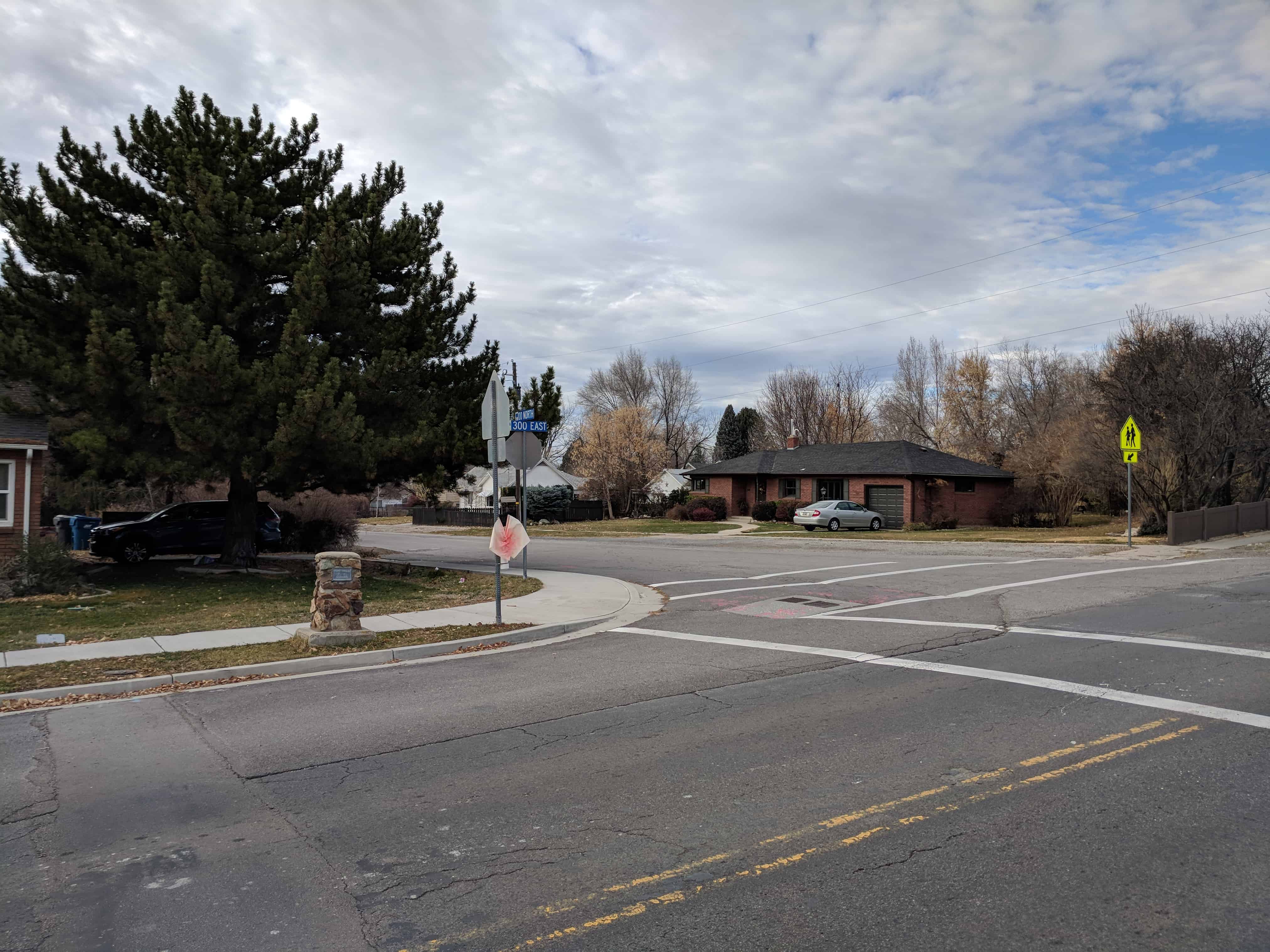
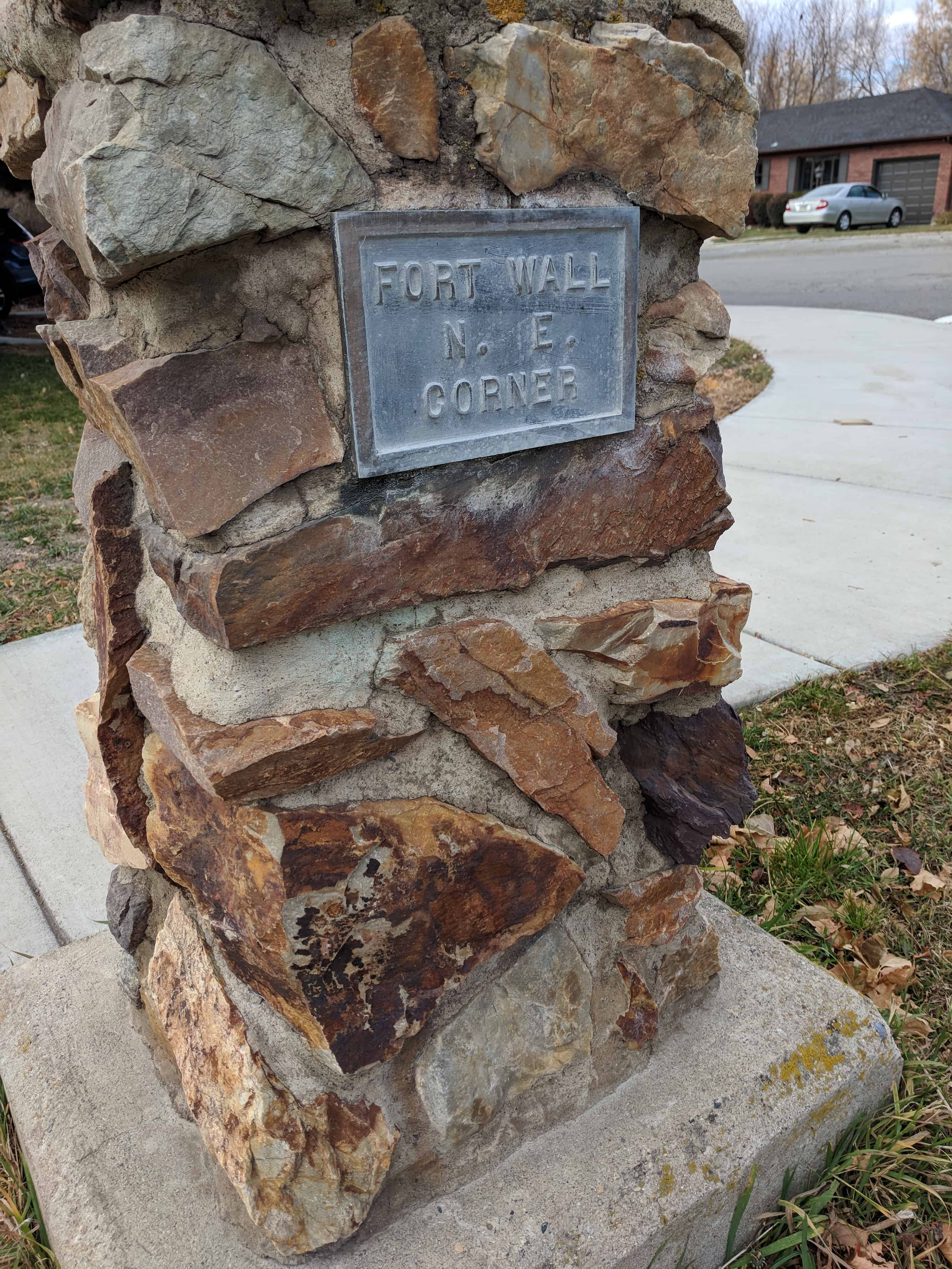
Pleasant Grove Fort – Northeast Corner
The old Pleasant Grove Fort was located here, this was the site of the northeast corner.
23 Tuesday Jan 2018
Posted in Uncategorized
Tags
The old Pleasant Grove Fort.
U.P.T.L.A. Marker #133 – Old Pleasant Grove Fort gives some details about the fort and is located at the southeast corner.
The corners of the fort were located at: