• About JacobBarlow.com
  • Cemeteries in Utah
  • D.U.P. Markers
  • Doors
  • Exploring Utah Email List
  • Geocaching
  • Historic Marker Map
  • Links
  • Movie/TV Show Filming Locations
  • Oldest in Utah
  • Other Travels
  • Photos Then and Now
  • S.U.P. Markers
  • U.P.T.L.A. Markers
  • Utah Cities and Places.
  • Utah Homes for Sale
  • Utah Treasure Hunt

JacobBarlow.com

~ Exploring with Jacob Barlow

JacobBarlow.com

Tag Archives: Forts

Old Fort Site

12 Monday Nov 2018

Posted by Jacob Barlow in Uncategorized

≈ 1 Comment

Tags

Forts, historic, Historic Markers, Holladay, Salt Lake County, SUP, utah

  • 2018-11-10 09.15.46

Old Fort Site

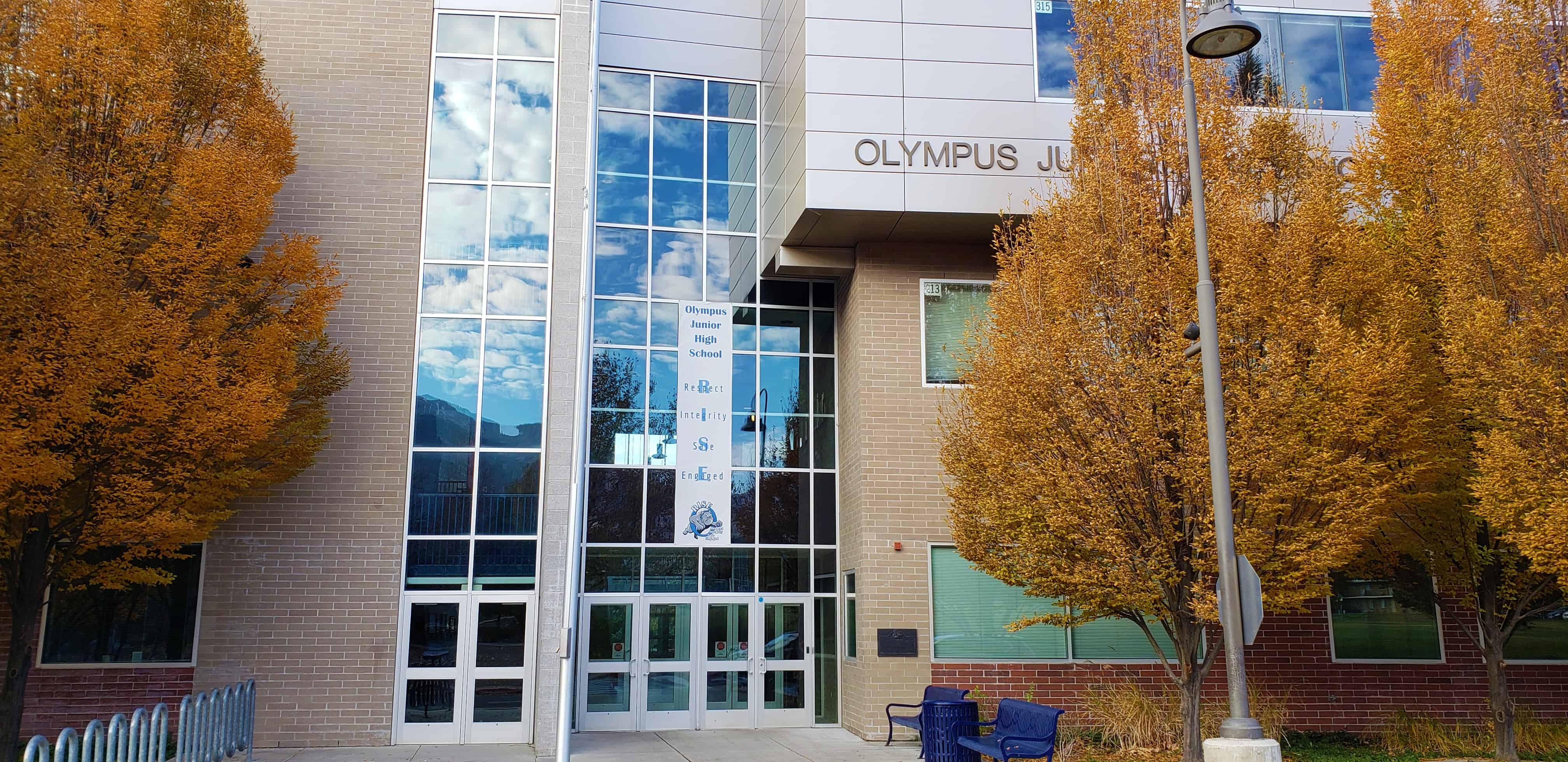
During the Walker Indian War in 1853, 161 settlers on Big Cottonwood Creek built a fort at this location.

The fort enclosed four acres, but was not needed as the Indians proved to be friendly.

S.U.P. Marker #B-1, other S.U.P. Markers here.

This historic marker is located on Olympus Jr High School in Holladay.

  • 2018-11-10 09.16.08
  • 2018-11-10 09.16.16
  • 2018-11-10 09.16.28
  • 2018-11-10 09.16.31

Box Elder Fort

26 Friday Oct 2018

Posted by Jacob Barlow in Uncategorized

≈ 1 Comment

Tags

Box Elder County, Brigham City, Forts, Historic Markers, SUP, utah

2018-10-20 09.54.24

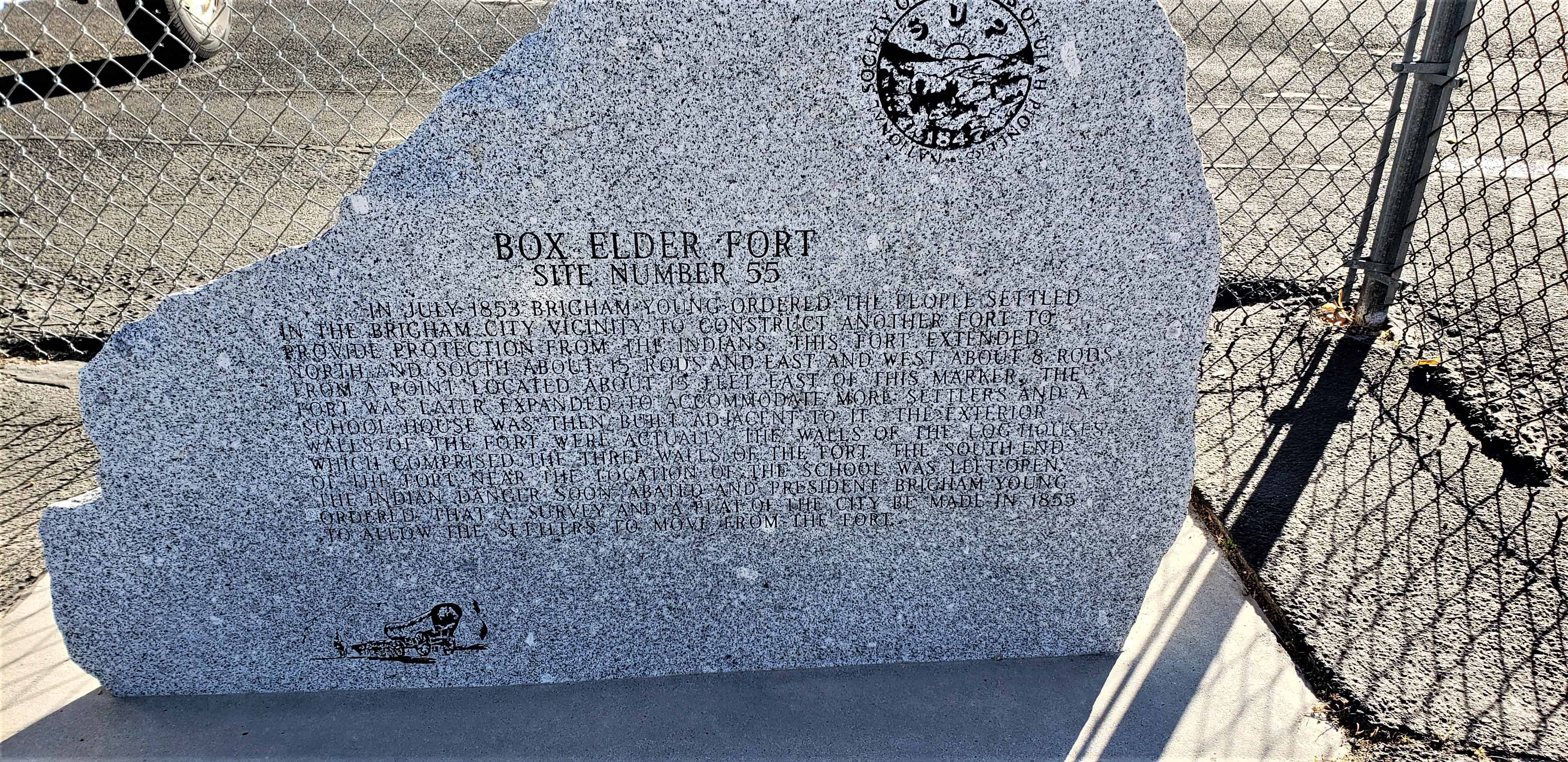
Box Elder Fort

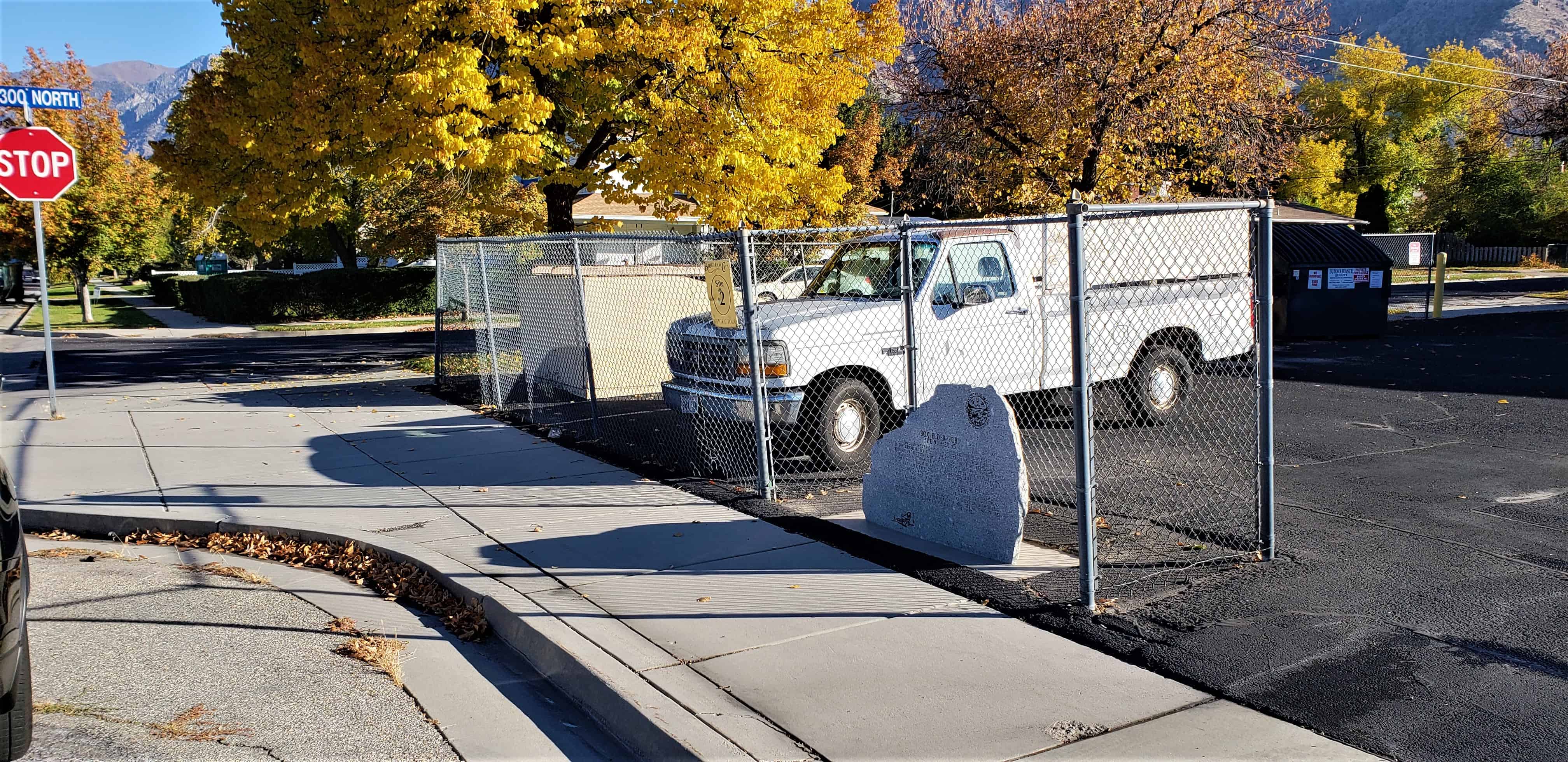
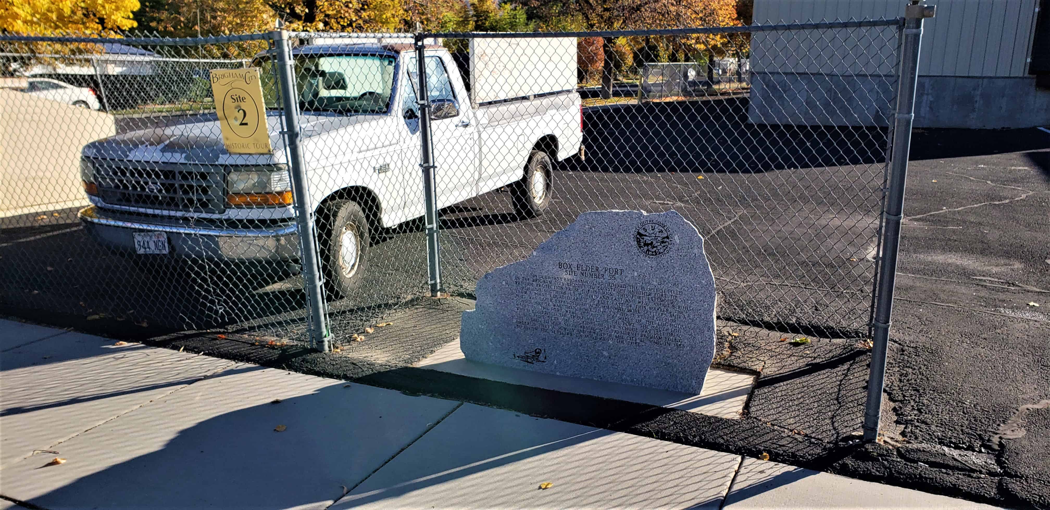
In July 1853 Brigham Young ordered the people settled in the Brigham City vicinity to construct another fort to provide protection from the Indians. This fort extended north and south about 15 rods and east and west about 8 rods from a point located about 15 feet east of this marker. The fort was later expanded to accommodate more settlers and a school house was then built adjacent to it. The exterior walls of the fort were actually the walls of the log houses which comprised the three walls of the fort. The south end of the fort near the location of the school was left open. The Indian danger soon abated and President Brigham Young ordered that a survey and a plat of the city be made in 1855 to allow the settlers to move from the fort.

2018-10-20 09.54.30

This historic marker is located at 280 North 200 West in Brigham City, Utah and is #2 in the Brigham City Historic Tour and #55 of the S.U.P. historic markers.

2018-10-20 09.54.45
2018-10-20 09.54.37

Pleasant Grove Fort – Northwest Corner

23 Tuesday Oct 2018

Posted by Jacob Barlow in Uncategorized

≈ Leave a comment

Tags

Forts, historic, Pleasant Grove, utah, utah county

2018-08-31 19.37.45

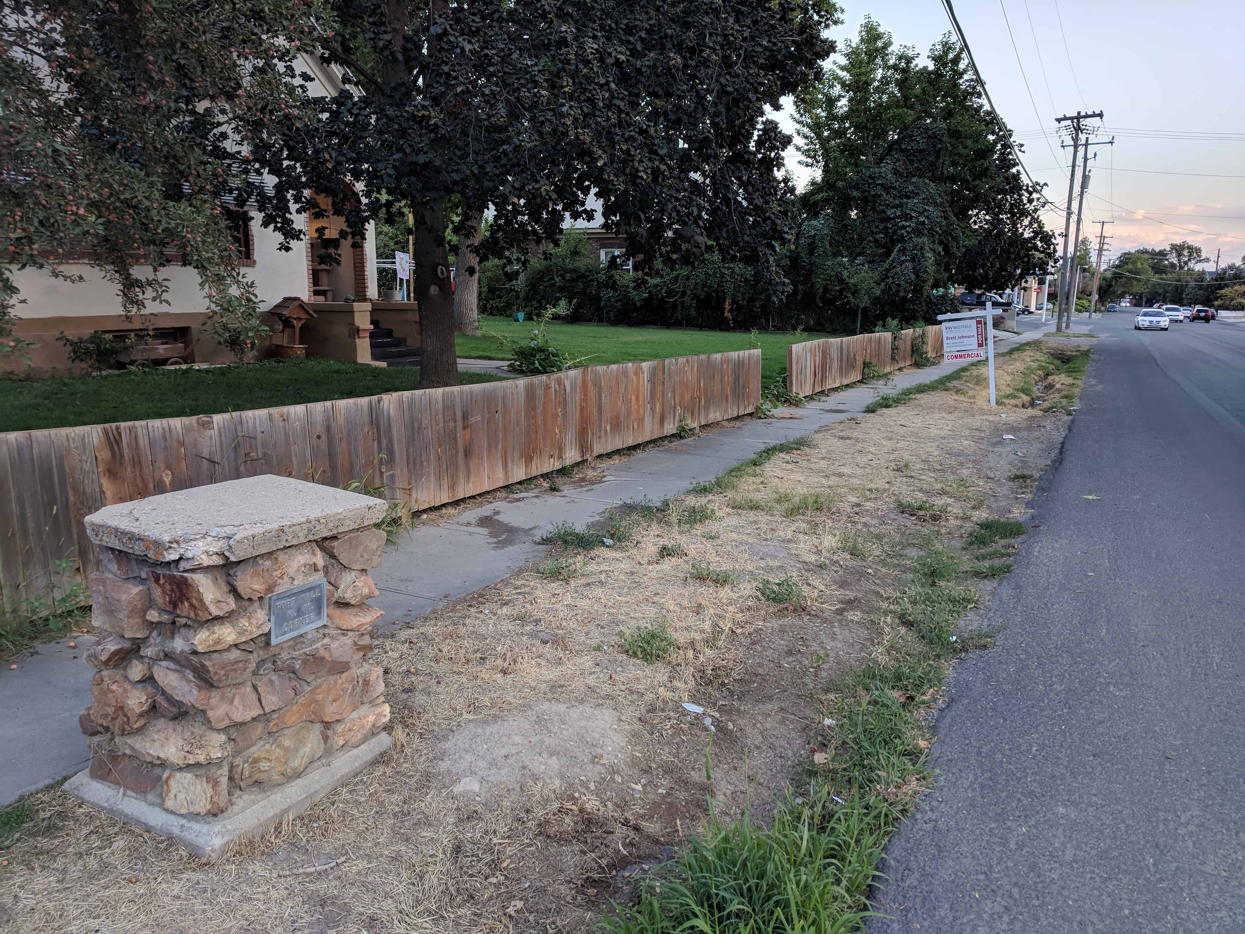
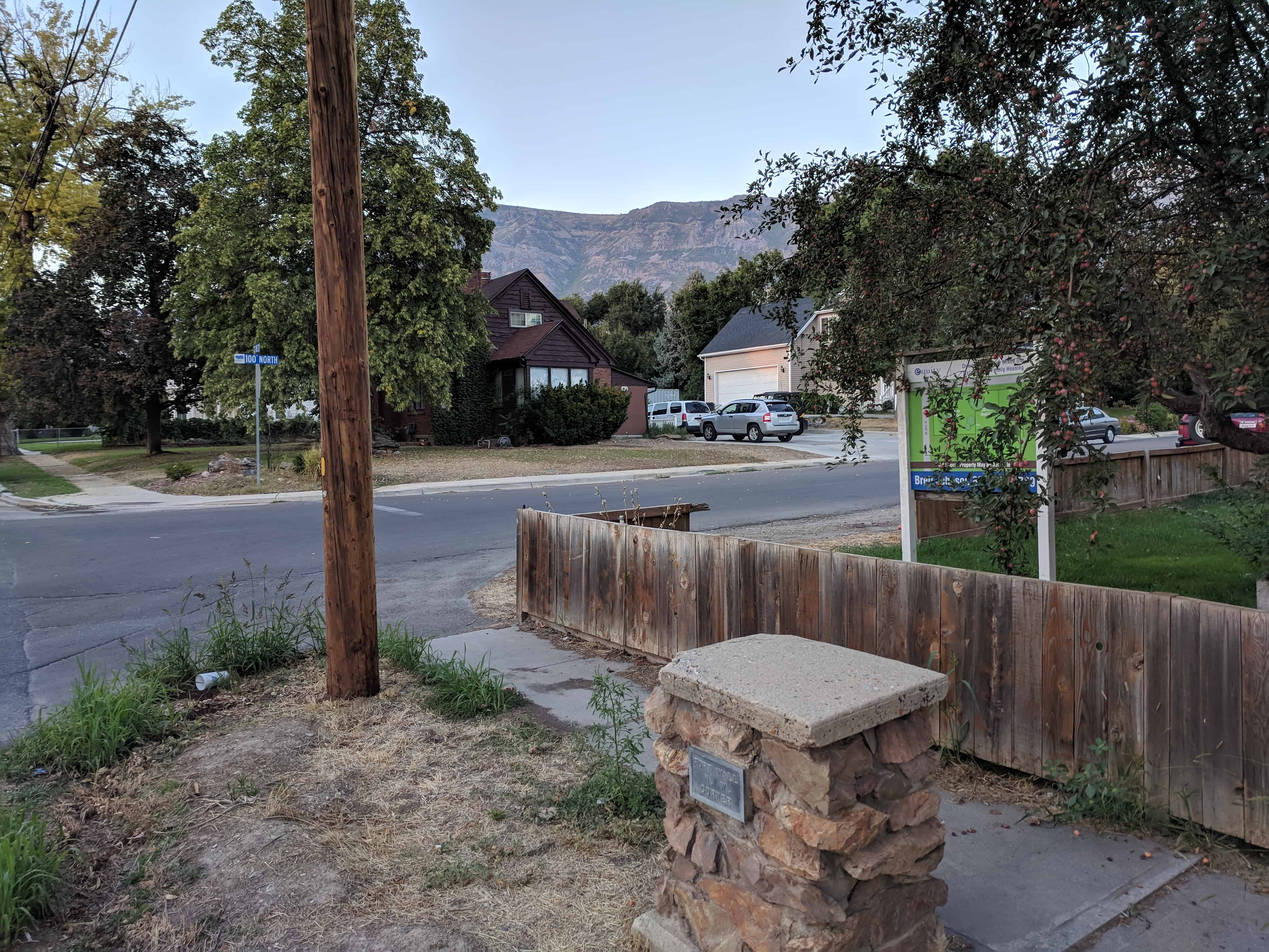
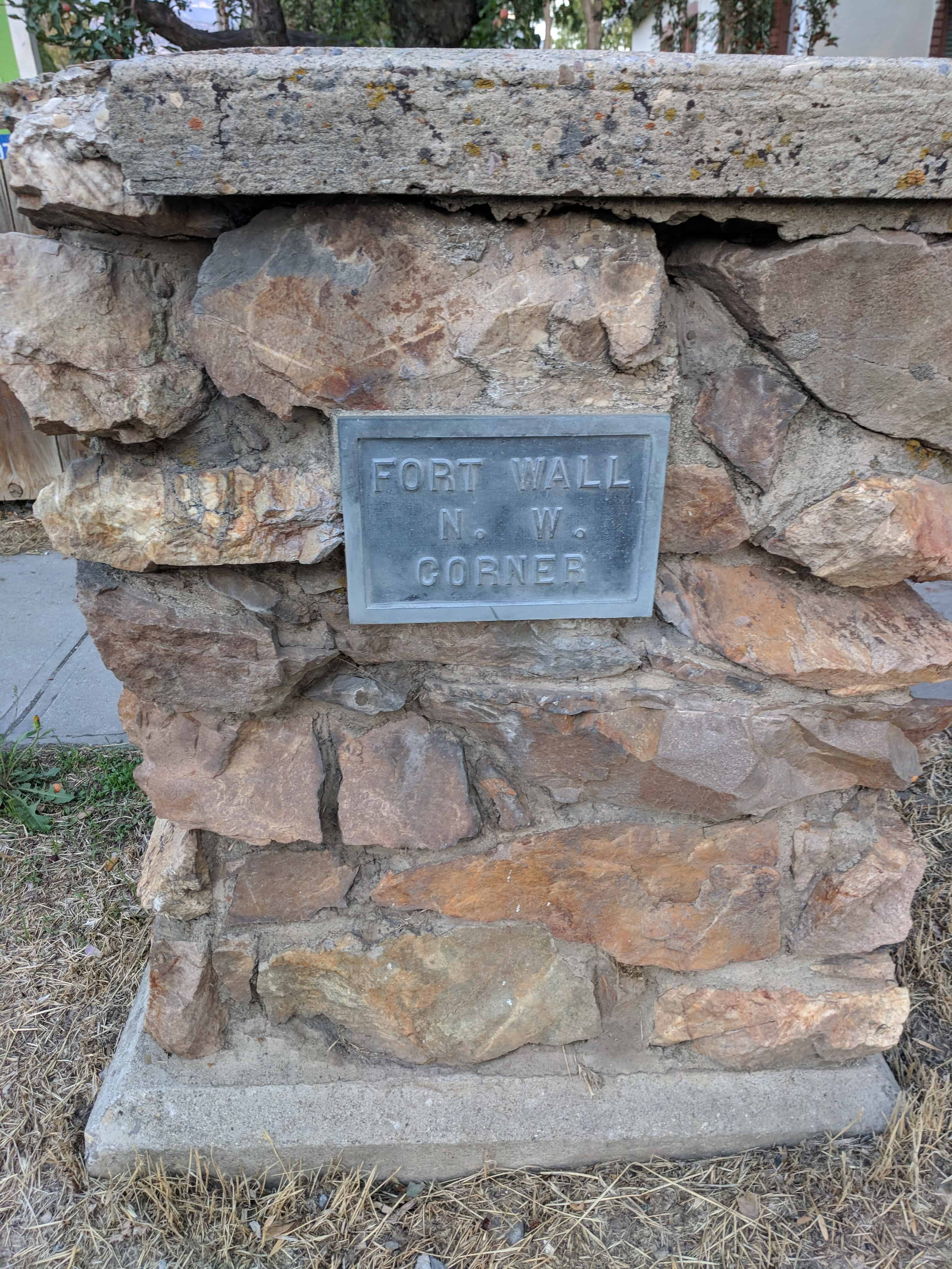
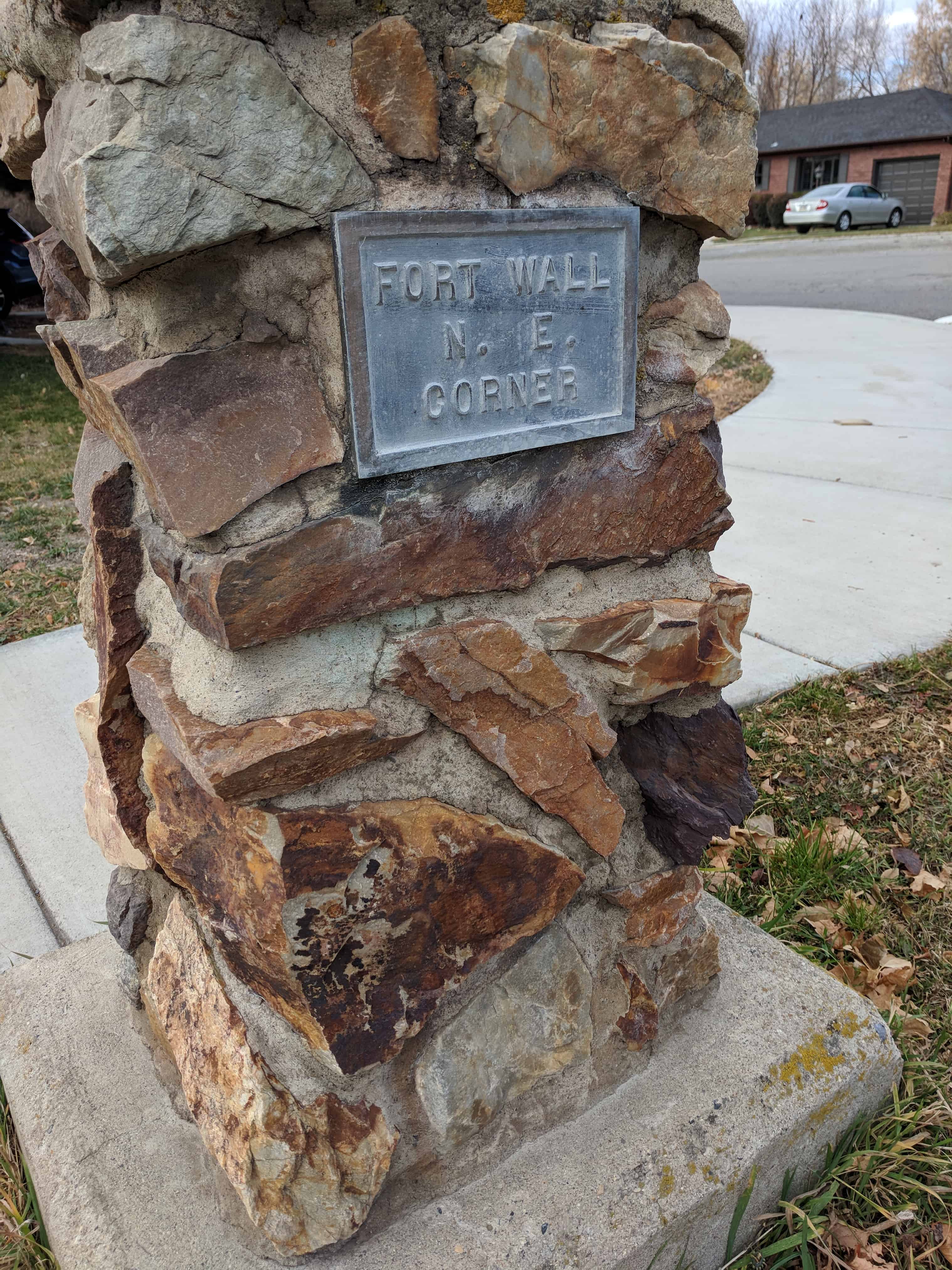
Pleasant Grove Fort – Northwest Corner

Located at 300 South 300 East in Pleasant Grove, Utah

See also Pleasant Grove Fort.

2018-08-31 19.37.58.jpg

2018-08-31 19.37.50.jpg

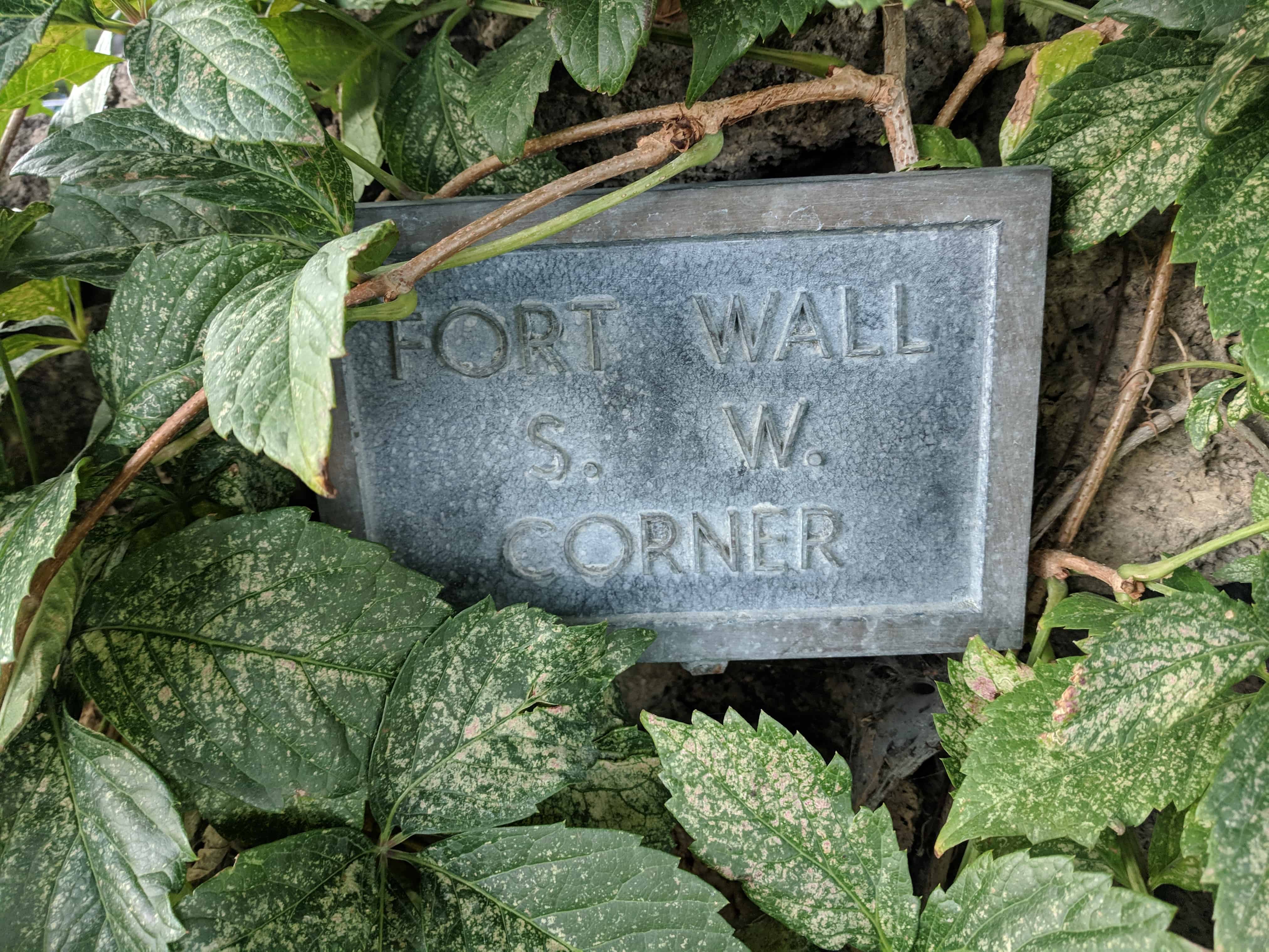
Pleasant Grove Fort – Southwest Corner

23 Tuesday Oct 2018

Posted by Jacob Barlow in Uncategorized

≈ Leave a comment

Tags

Forts, historic, Pleasant Grove, utah, utah county

2018-08-31 19.33.17

Pleasant Grove Fort – Southwest Corner

Located at 300 South 300 East in Pleasant Grove, Utah

See also Pleasant Grove Fort.

2018-08-31 19.33.25

2018-08-31 19.33.34

The Utah War – The Mormon Response

29 Monday Jan 2018

Posted by Jacob Barlow in Uncategorized

≈ Leave a comment

Tags

Echo Canyon, Fort Bridger, Fort Supply, Forts, Historic Markers, summit county, SUP, The Utah War, utah, Utah Militia, War

2018-01-05 07.37.33

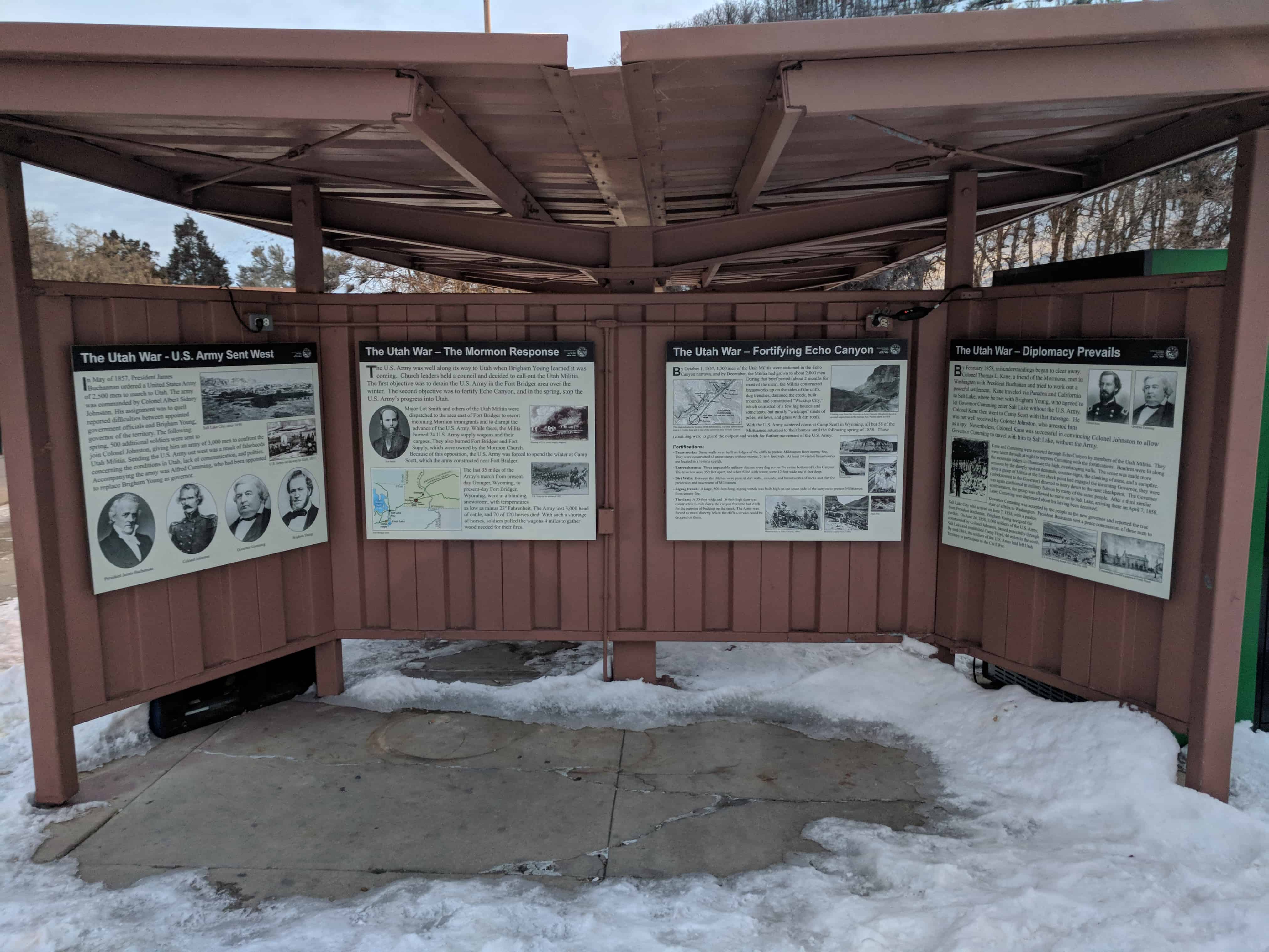
The Utah War – The Mormon Response

The U.S. Army was well along its way to Utah when Brigham Young learned it was coming. Church leaders held a council and decided to call out the Utah Militia. The first objective was to detain the U.S. Army in the Fort Bridger area over the winter. The second objective was to fortify Echo Canyon, and in the spring, stop the U.S. Army’s progress into Utah.

Major Lot Smith and others of the Utah Militia were dispatched to the area east of Fort Bridger to escort incoming Mormon immigrants and to disrupt the advance of the U.S. Army. While there, the Militia burned 74 U.S. Army supply wagons and their cargoes. They also burned Fort Bridger and Fort Supply, which were owned by the Mormon Church. Because of this opposition, the U.S. Army was forced to spend the winter at Camp Scott, which the army constructed near Fort Bridger.

The last 35 miles of the Army’s march from present- day Granger, Wyoming, to present-day Fort Bridger, Wyoming, were in a blinding snowstorm, with temperatures as low as minus 23° Fahrenheit. The Army lost 3,000 head of cattle, and 70 of 120 horses died. With such a shortage of horses, soldiers pulled the wagons 4 miles to gather wood needed for their fires.

This is part of a cluster of S.U.P. Historic Markers, #185-A, 185-B, 185-C, 185-D located at the eastbound rest stop in I-80 in Echo Canyon.   For other S.U.P. Historic Markers see this page.
2018-01-05 07.37.45

2018-01-05 07.39.48

Old Pleasant Grove Fort

23 Tuesday Jan 2018

Posted by Jacob Barlow in Uncategorized

≈ 1 Comment

Tags

Forts, Pleasant Grove, SUP, utah, utah county

2017-11-25 14.48.38

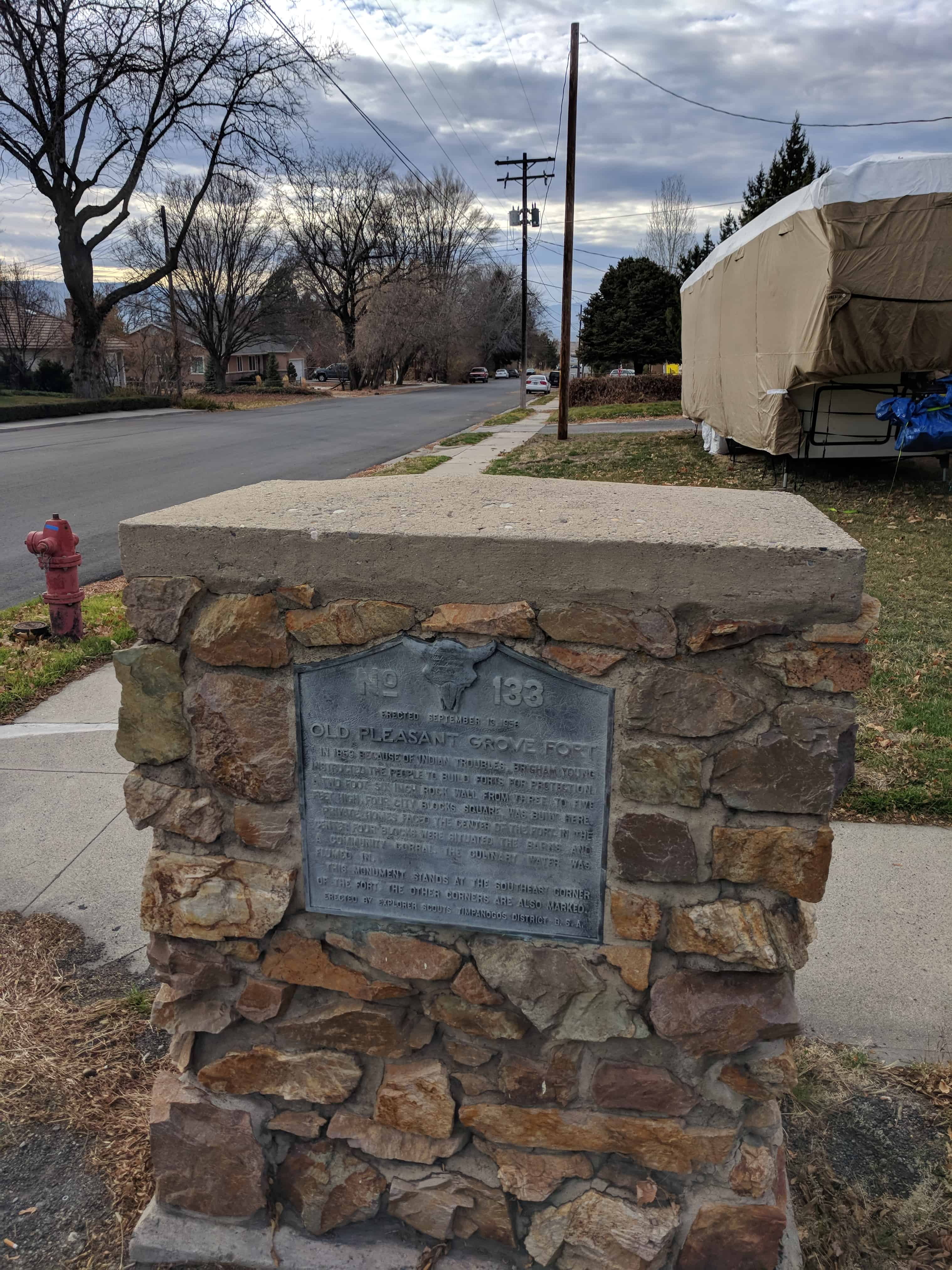
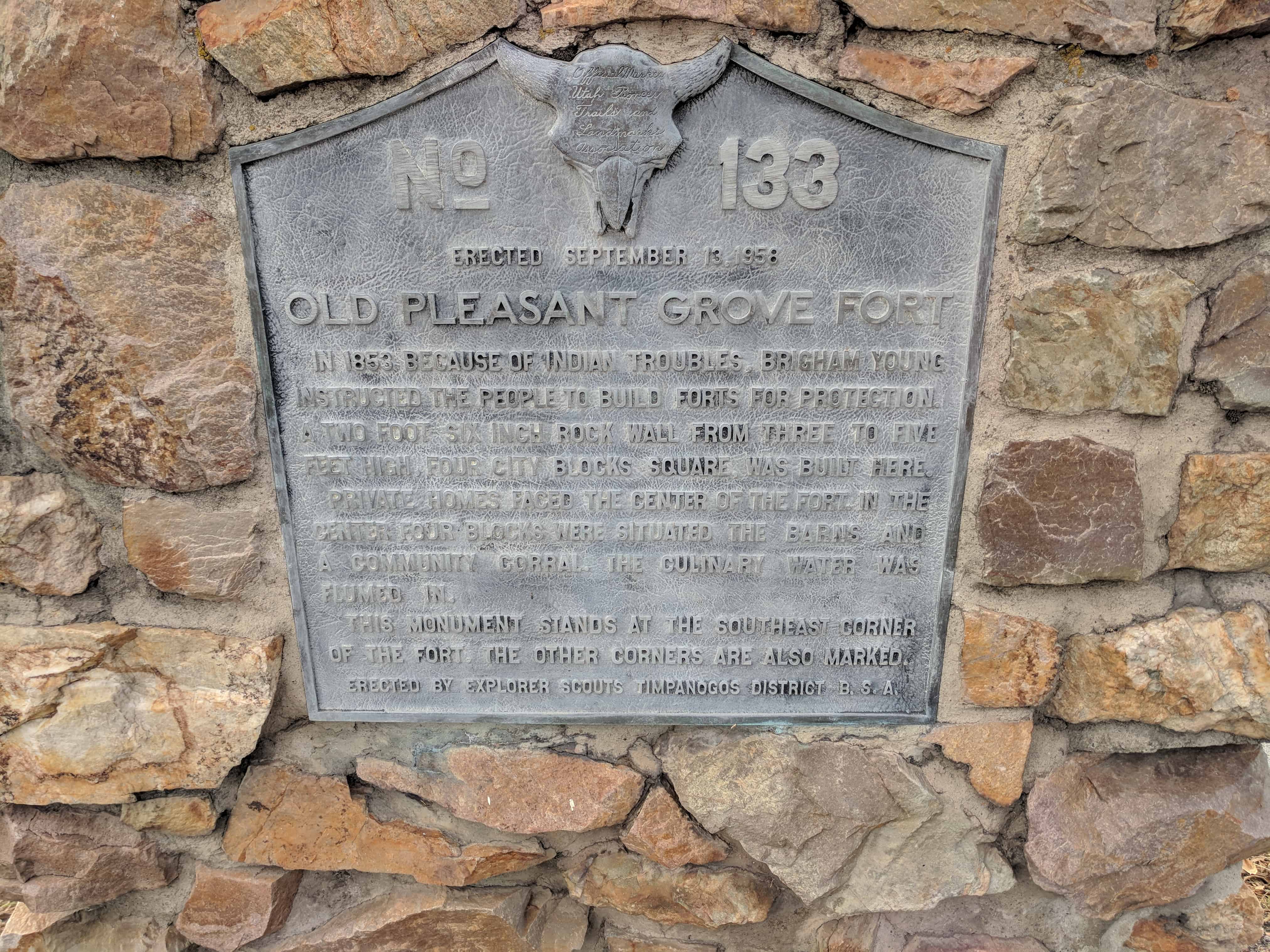
U.P.T.L.A. Marker #133 – Old Pleasant Grove Fort

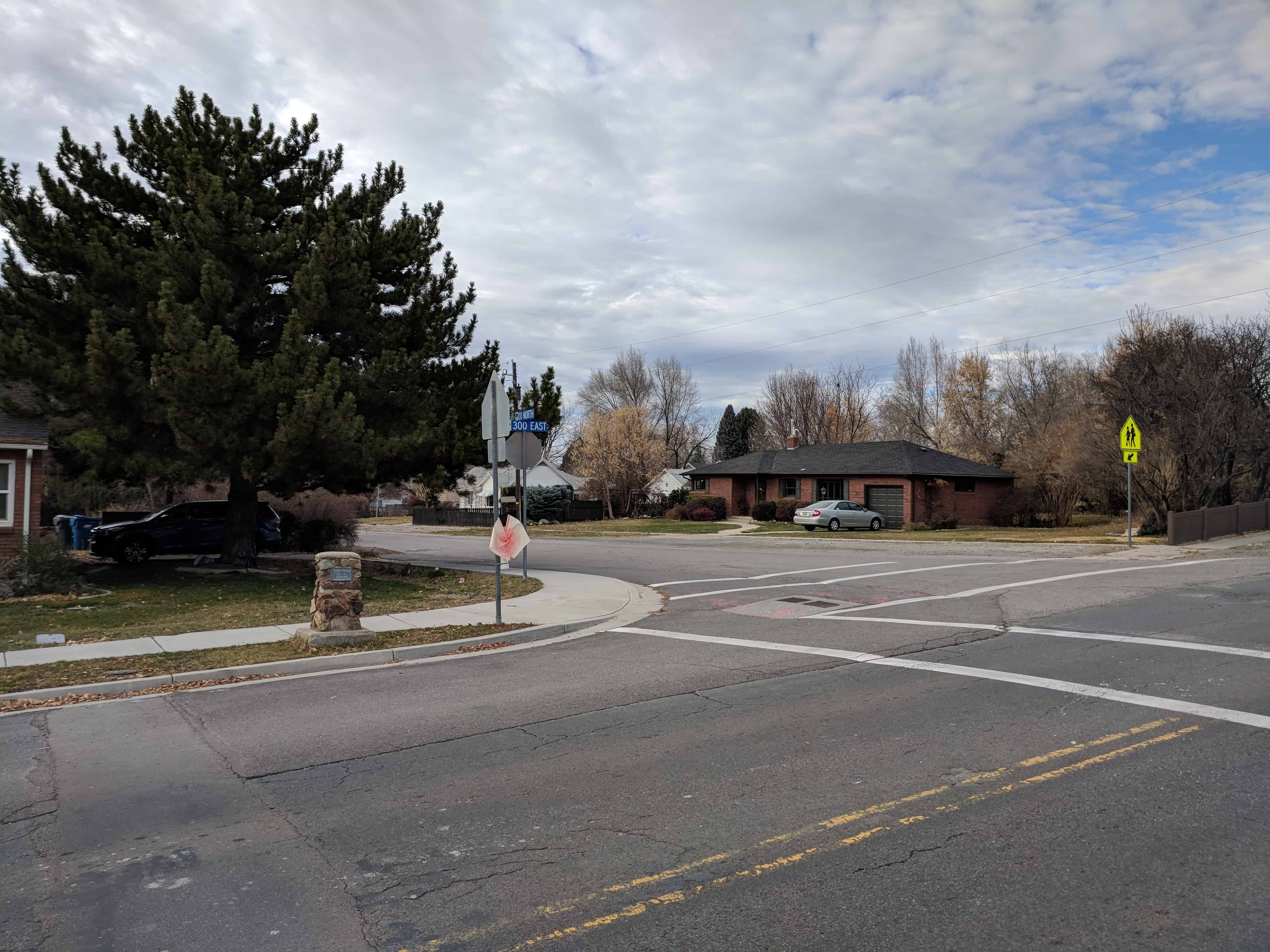
Located at 300 South 300 East in Pleasant Grove, Utah

See also Pleasant Grove Fort.

In 1853 because of Indian troubles, Brigham Young instructed the people to build forts for protection. A two foot six inch rock wall from three to five feet high, four city blocks square, was built here.

Private homes faced the center of the Fort. In the center four blocks were situated the barns and a community corral. The culinary water was flumed in.

This monument stands at the southeast corner of the Fort. The other corners are also marked.

See other U.P.T.L.A./S.U.P. Markers here.

2017-11-25 14.48.47

2017-11-25 14.48.43

Pleasant Grove Fort – Northeast Corner

23 Tuesday Jan 2018

Posted by Jacob Barlow in Uncategorized

≈ Leave a comment

Tags

Forts, Pleasant Grove, utah, utah county

2017-11-25 14.45.28

Pleasant Grove Fort – Northeast Corner

The old Pleasant Grove Fort was located here, this was the site of the northeast corner.

2017-11-25 14.45.40

2017-11-25 14.45.48

Pleasant Grove Fort

23 Tuesday Jan 2018

Posted by Jacob Barlow in Uncategorized

≈ 2 Comments

Tags

Forts, Pleasant Grove, utah, utah county

2017-11-25 14.48.43

The old Pleasant Grove Fort.

U.P.T.L.A. Marker #133 – Old Pleasant Grove Fort gives some details about the fort and is located at the southeast corner.

The corners of the fort were located at:


  • (Southeast) 300 South 300 East
  • (Southwest) 300 South 100 West
  • (Northwest) 100 North 100 West
  • (Northeast) 100 North 300 East


Fort Cameron

23 Friday Jun 2017

Posted by Jacob Barlow in Uncategorized

≈ 2 Comments

Tags

Beaver, Beaver County, Forts, historic, Historic Markers, SUP, UPTLA, utah

2017-05-13 19.44.37

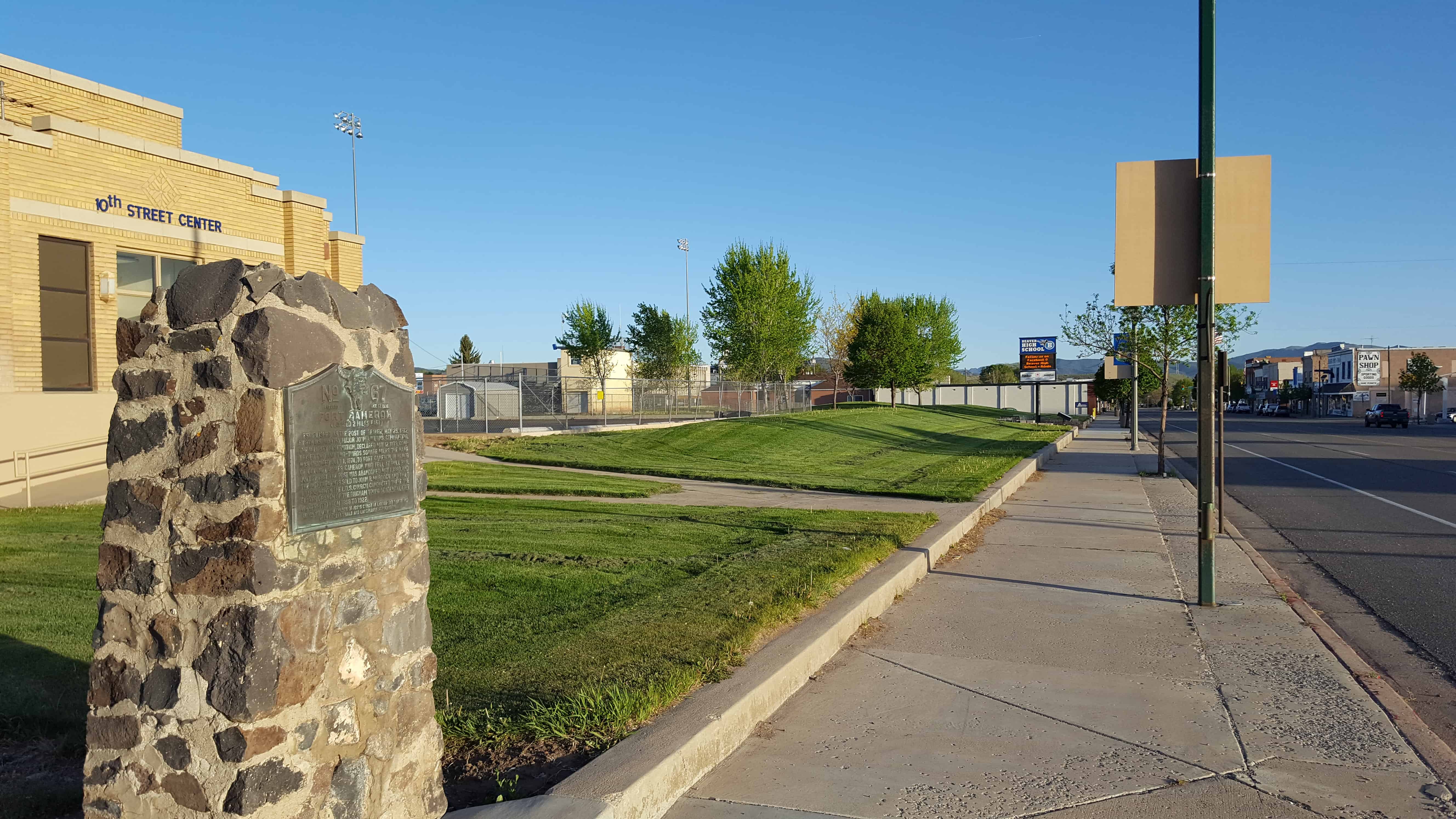
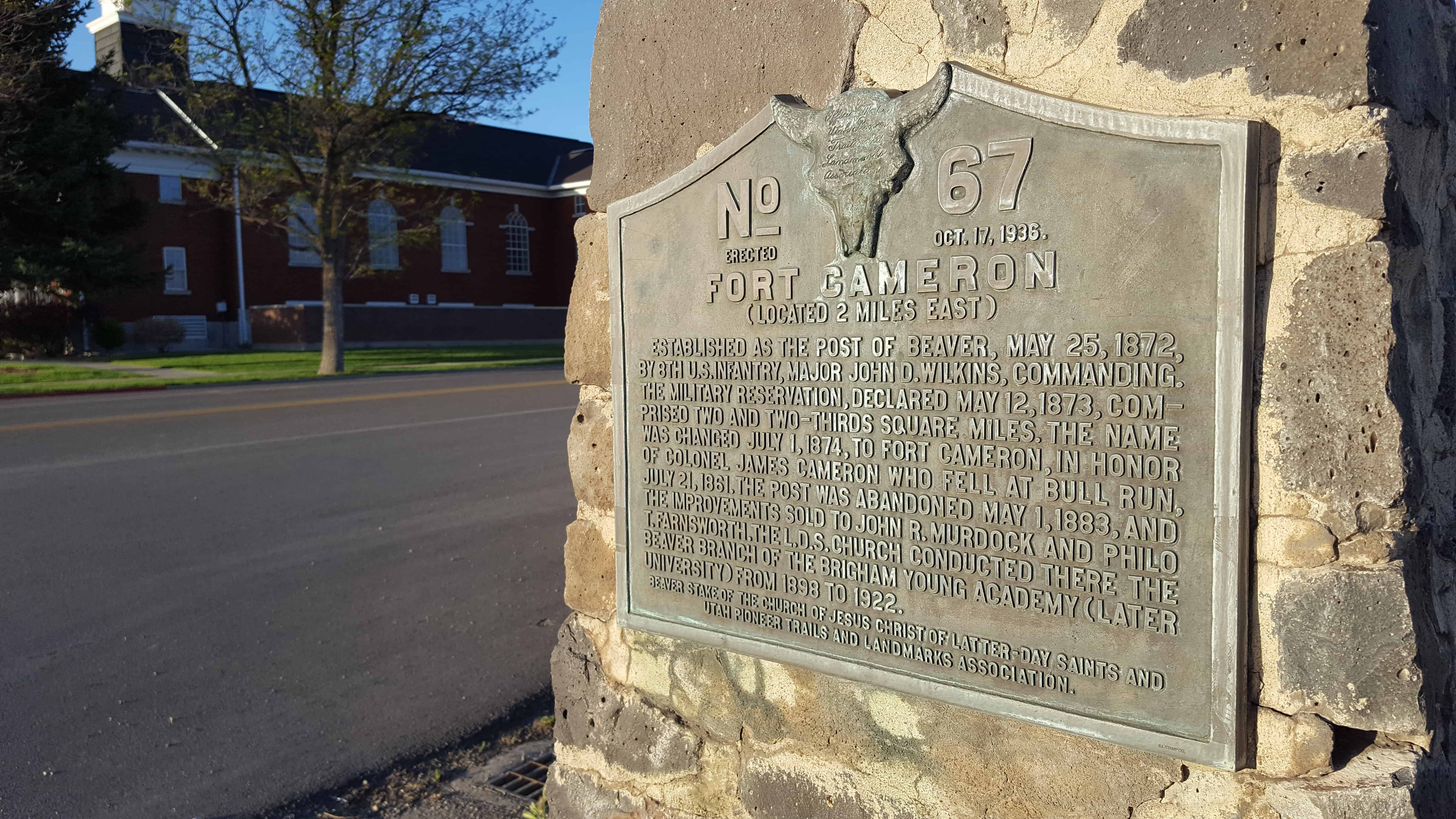
Established as the Post of Beaver, May 25, 1872, by 8th U.S. Infantry, Major John D. Wilkins, commanding. The military reservation, declared May 12, 1873, comprised two and two-thirds square miles. The name was changed July 1, 1874, to Fort Cameron, in honor of Colonel James Cameron who fell at Bull Run, July 21, 1861. The post was abandoned May 1, 1883, and the improvements sold to John R. Murdock and Philo T. Farnsworth. The L.D.S. Church conducted there the Beaver Branch of the Brigham Young Academy (later University) from 1898 to 1922.

See other historic markers in the series on this page for UPTLA/SUP Markers.

2017-05-13 19.44.47

Springville Fort

01 Thursday Jun 2017

Posted by Jacob Barlow in Uncategorized

≈ 6 Comments

Tags

Forts, historic, Springville, utah, utah county

18671474_985950221508561_683366220095604508_o

I’m still looking for information on the Springville Fort / Hobble Creek Fort but I found a couple old renditions of it.  It was apparently near 200 N 200 W.

18671534_985967828173467_2790418687512619006_o

18699609_985361341567449_4928998617515984496_o

← Older posts
Newer posts →

Follow Jacob

Follow Jacob

Come wander with me on Youtube.

Blog Stats

  • 2,225,873 hits

Social and Other Links

BarlowLinks.com

Recent Posts

  • Weber State W
  • Brigham Young and Elsa Maria Jessen Lee Home
  • 231 S 100 E
  • 222 S 100 E
  • Nancy Elizabeth Winchester Proctor Home

Archives

Loading Comments...