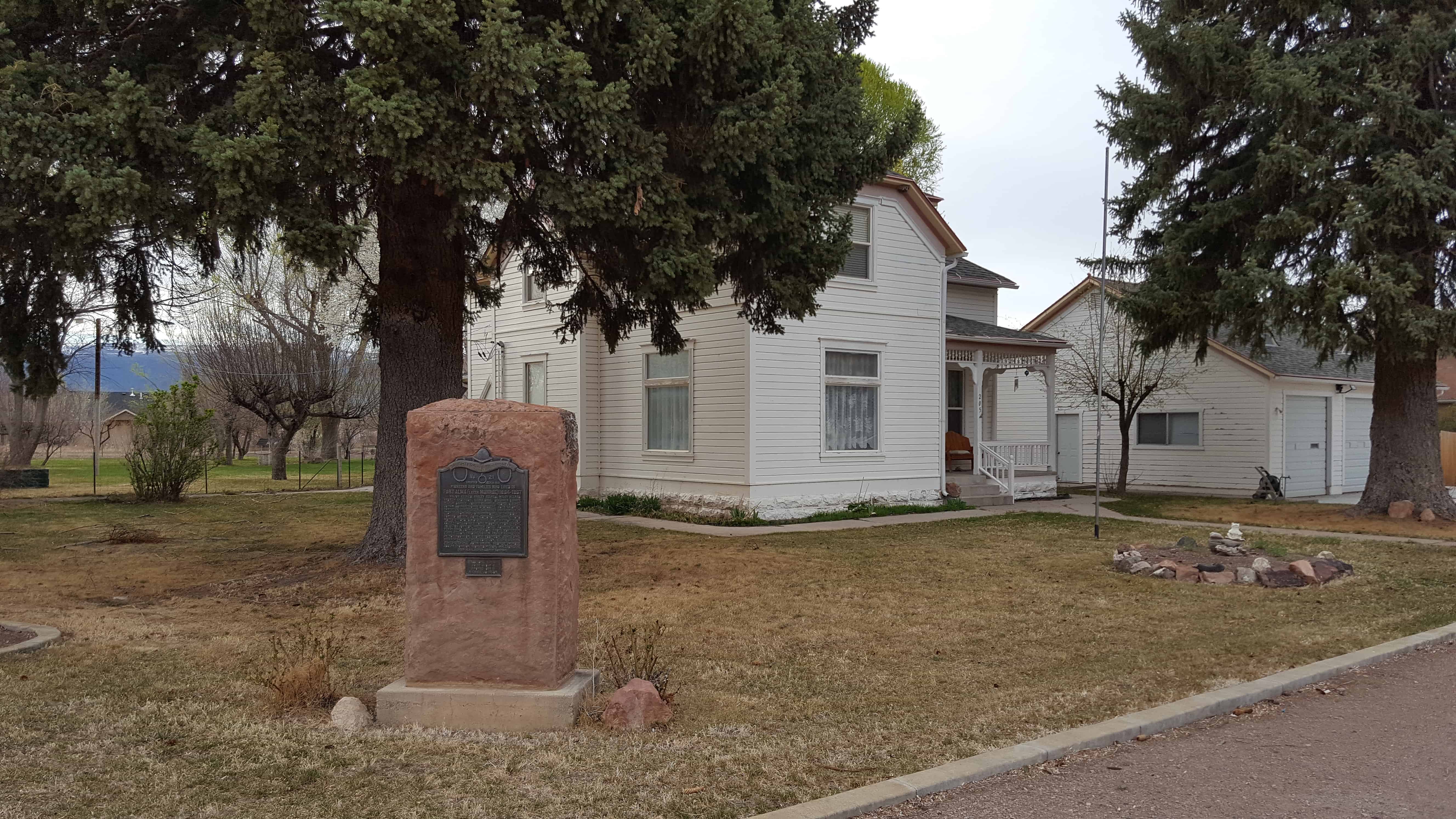
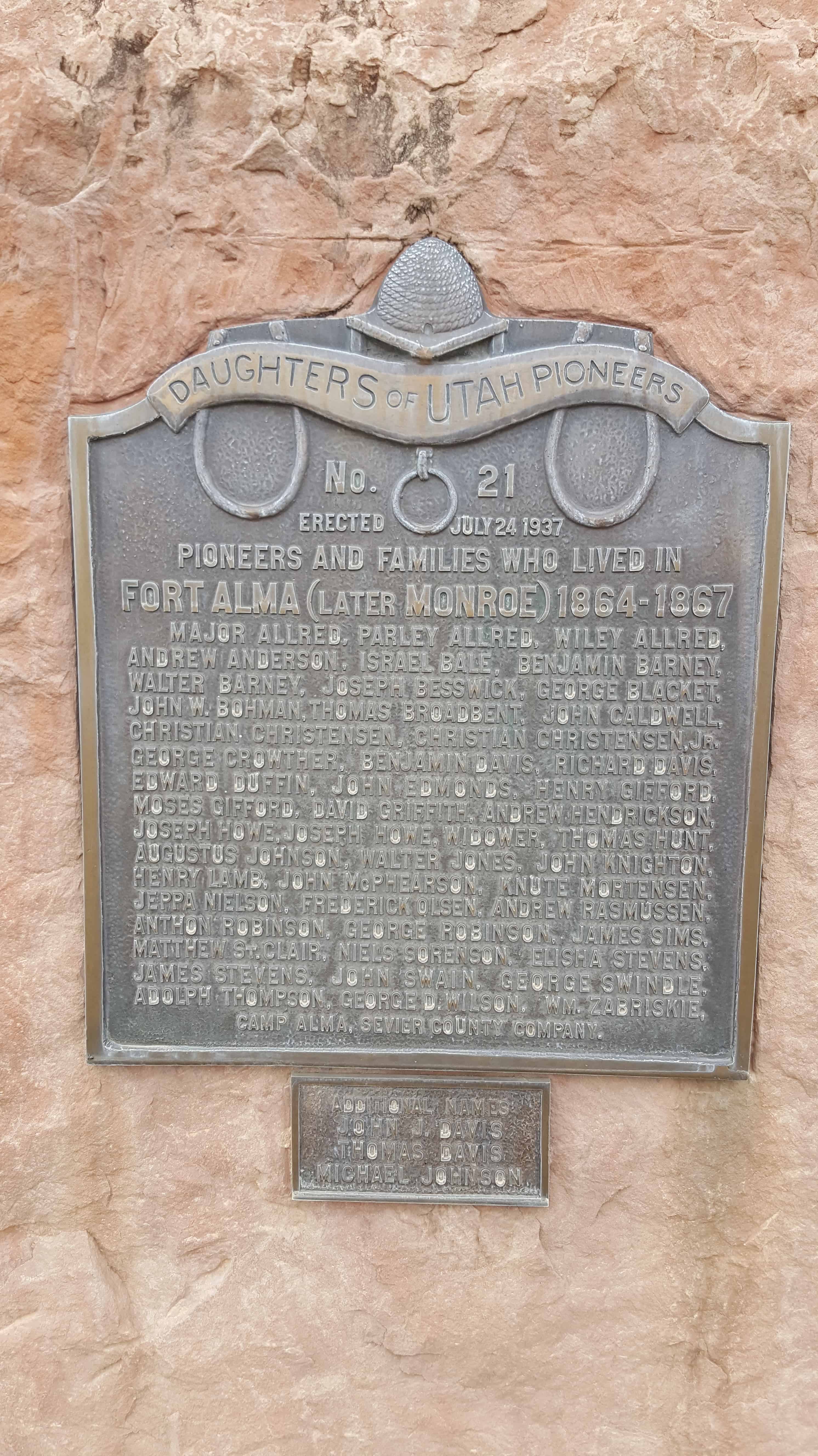
Pioneers and Families who lived in Fort Alma (later Monroe) 1864-1867
Major Allred, Parley Allred, Wiley Allred, Andrew Anderson, Israel Bale, Benjamin Barney, Walter Barney, Joseph Besswick, George Blacket, John W. Bohman, Thomas Broadbent, John Caldwell, Christian Christensen, Christian Christensen Jr., George Crowther, Benjamin Davis, Richard Davis, Edward Duffin, John Edmonds, Henry Gifford, Moses Gifford, David Gifford, Andrew Hendrickson, Joseph Howe, Joseph Howe, widower, Thomas Hunt, Augustus Johnson, Walter Jones, John Knighton, Henry Lamb, John McPhearson, Knute Mortensen, Jeppa Nielson, Frederick Olsen, Andrew Rasmussen, Anthon Robinson, George Robinson, James Sims, Matthew St. Clair, Niels Sorenson, Elisha Stevens, James Stevens, John Swain, George Swindle, Adolph Thompson, George D. Wilson, Wm. Zabriskie.
The Indians called the site Pa-Hump-Pa (Cove Creek); Mormon emigrants named it Cove Creek. Cove Fort is located at a crossroads of early western trails. Jed Smith reached the site enroute to California in 1826; the old Spanish Trail also passed it. Both California-bound emigrants and Mormons passed by and camped on Cove Creek. However, not until i860 did Charles Willden and his son Elliot establish the first permanent residence there, known as Will den’s Fort.
Because of Indian hostilities in the Black Hawk War, and because Mormons needed protection for their newly completed telegraph lines to southern Utah, Brigham Young purchased the site for the church and called Ira N. Hinckley from Coalvi1le, Utah, to settle there and construct a fort. Hinckley moved his family and immediately began to raise the fort in the spring of 1867, which was completed by November of that year.
Cove Fort continued to be used by travelers and freighters through the region. Brigham Young stopped at the fort frequently on one occasion (1872) accompanied by Col. Thomas L. Kane who had helped mediate the Mormon conflict in 1858.
Ira Hinckley removed from Cove Fort after ten years, but the Mormon Church retained ownership until the Twentieth Century. During this period stages stopped regularly and freighters camped overnight nearby. W. H. Kesler leased the fort and property in December 1903. By April 1904 he had moved his family into the fort, and later (1911) purchased it. The Kesler family still owns the property.
At the time Mr. Kesler moved in, the fort was abandoned. The north quarter had been completely burned out but was restored in 1917. Since that time Cove Fort has served as a private residence, as a motel, and currently as a historic site and museum operated by the Kesler family.
It remains an excellent example of an unusually well-constructed Mormon fortification.
The text on this page is from the nomination form for the national historic register, Cove Fort was added to the National Historic Register (#70000623) on October 6, 1970.
Cove Fort was built of black volcanic rock laid in with lime mortar, burned nearby. Ira N. Hinckley directed the work and was assisted by Hans Hansen, Horace Owens, James Owens, Albert Shales, Nathan Baldwin, Christian Hansen, Alien Russell, and Dorus and Orange Warner. The estimated construction cost was about $23,000.
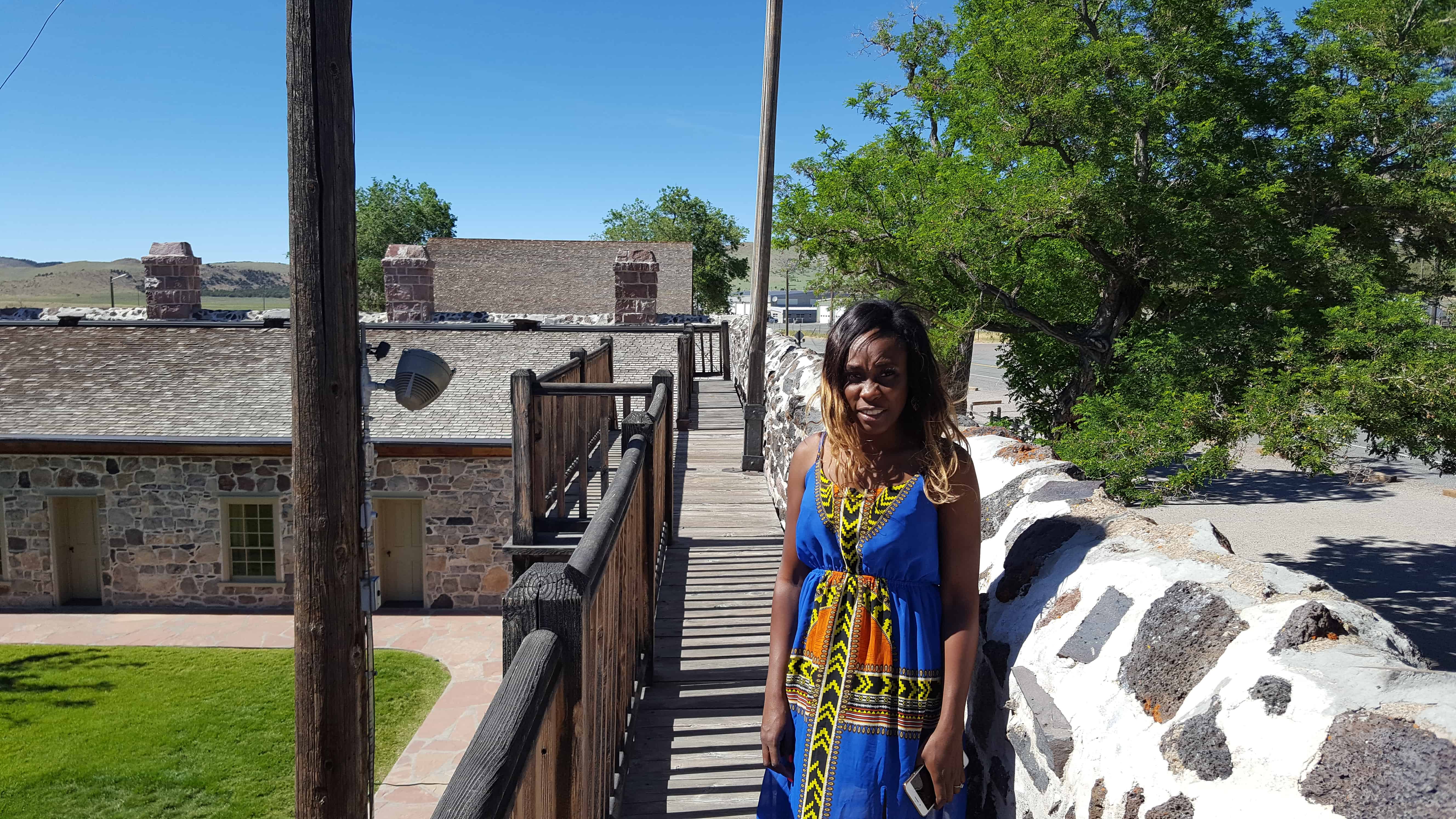
The fort consisted of a square – – four walls 18′ high from the base of the foundation, 4′ thick at the foundation, and 2′ thick at the top, and 100′ long. The main gateway in the east wall was approximately 14′ square and closed with two large, hinged doors, originally filled with sand between the outside planking to prevent burning by flaming arrows. The west door was similarly constructed but 8′ x 4′. Six apartments (about 16′ x 14′ x 9′ ) lined each of the north and south walls, with chimneys for each room projecting 6′ above the walls. The heavy beams were hand hewn. Local timber was used for shingles and lumber.
Teams, stage coaches and covered wagons could be driven into the fort if necessary. A well was dug for water without success. However, the inhabitants felt secure when forted up.
By 1902 the fort had been abandoned and the north interior burned. Sizeable restoration efforts have been made by the Kesler family, and generally the integrity of the fort remains. Although the fabric of the walls remains excellent, there is still need for extensive restoration.
Completed April 12, 1867, by direction of Brigham Young, with L.D.S. Church funds, as a travelers way station and refuge from Indians. Ira N. Hinckley built and maintained it as a hostelry and residence until 1877. A well within the fort provided culinary water. Cove Creek supplied irrigation. One of its 12 original room s was used as a telegraph station. Early in 1861 Charles Willden built 3 rooms and a dugout, known as Willden’s Fort. This was a convenient campsite for President Young and other travelers.
In April 1855, forty-one men under the leadership of Alfred N. Billings were called to establish a mission in the Elk Mountains. They left Salt Lake City May 7, 1855, arriving at Grand River June 11, and selected the site for a fort. By July 15, they had built a fort 64 feet square, with stone walls, 12 feet high, 4 feet at the base and 1 & 1/2 feet at the top. Three of the pioneers, James. W. Hunt, Edward Edwards and William Behunin were buried within the fort which was located about 800 feet from this monument.
This monument was relocated in April 2006. The monument was formerly located at 995 North Highway 191 (Main Street), which is 1.5 miles northwest of where the monument now stands. The location of the Old Fort was 3000 feet west, 1320 feet from the Northwest corner of Section 35 Township 25 South, Range 21 East, Salt Lake Base Meridian.
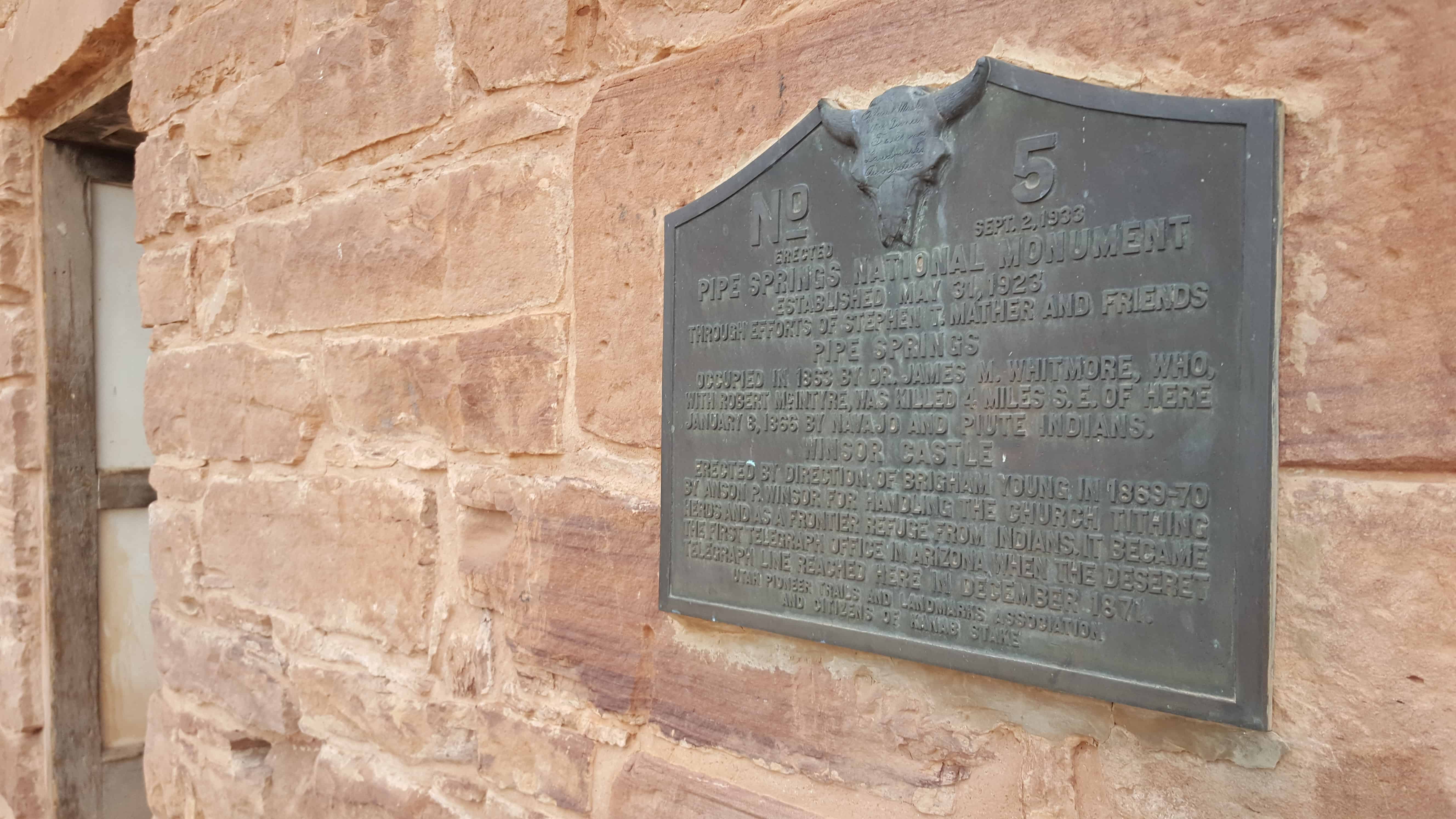
PIPE SPRINGS NATIONAL MONUMENT, Established May 31, 1923, through efforts of Stephen T. Mather and friends. PIPE SPRINGS, occupied in 1863, by Dr. James M Whitmore, who, with Robert McIntire was killed 4 miles S.E. of Pipe Springs January 8, 1866, by Navajo and Piute Indians.
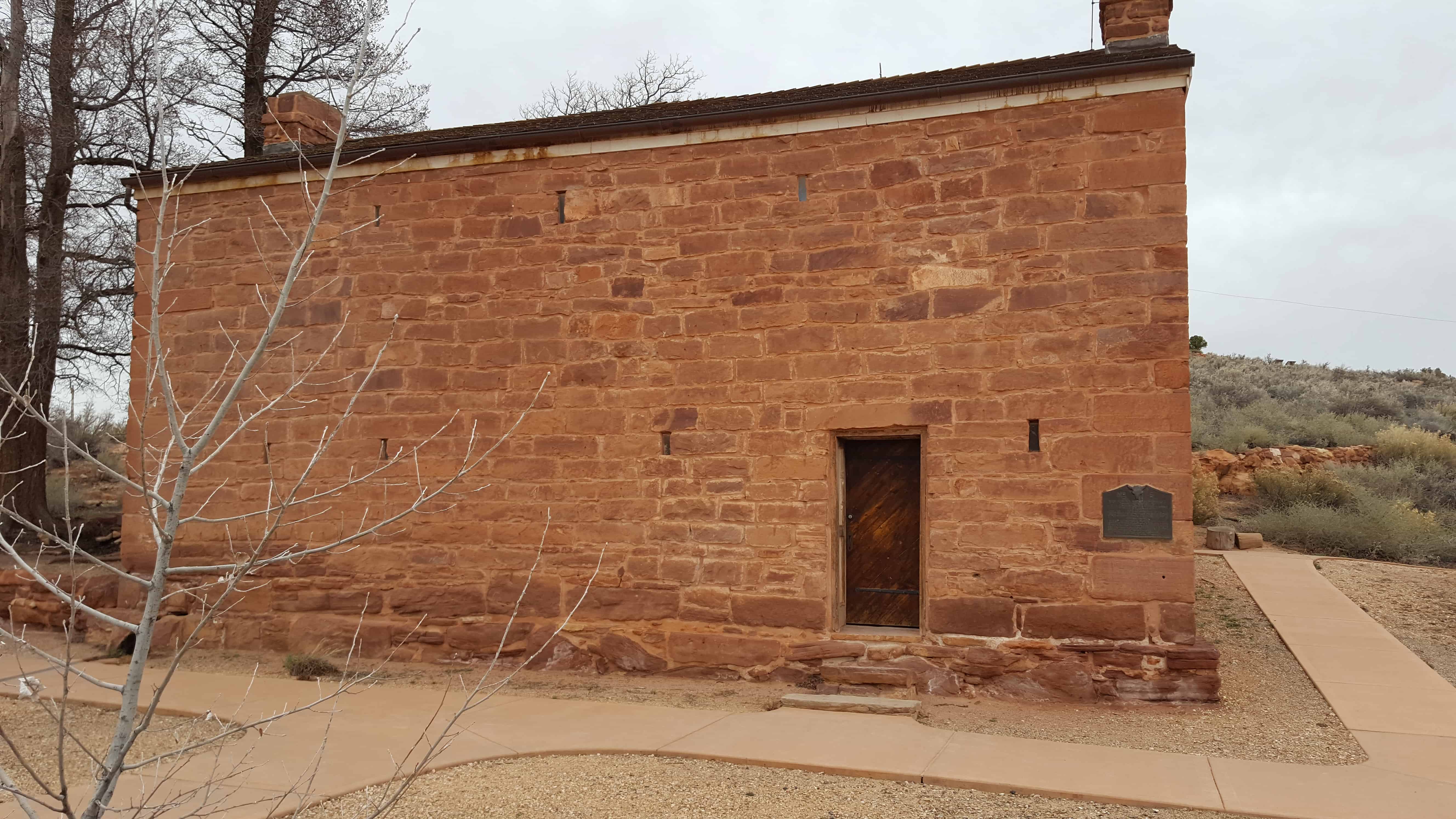
WINDSOR CASTLE Erected by direction of Brigham Young in 1869 – 70 by Anson Windsor for handling the Church tithing herds and as a frontier refuge from Indians. It became the first telegraph office in Arizona when the Deseret Telegraph Line reached here in December 1871.
See other historic markers in the series on this page for UPTLA/SUP Markers.
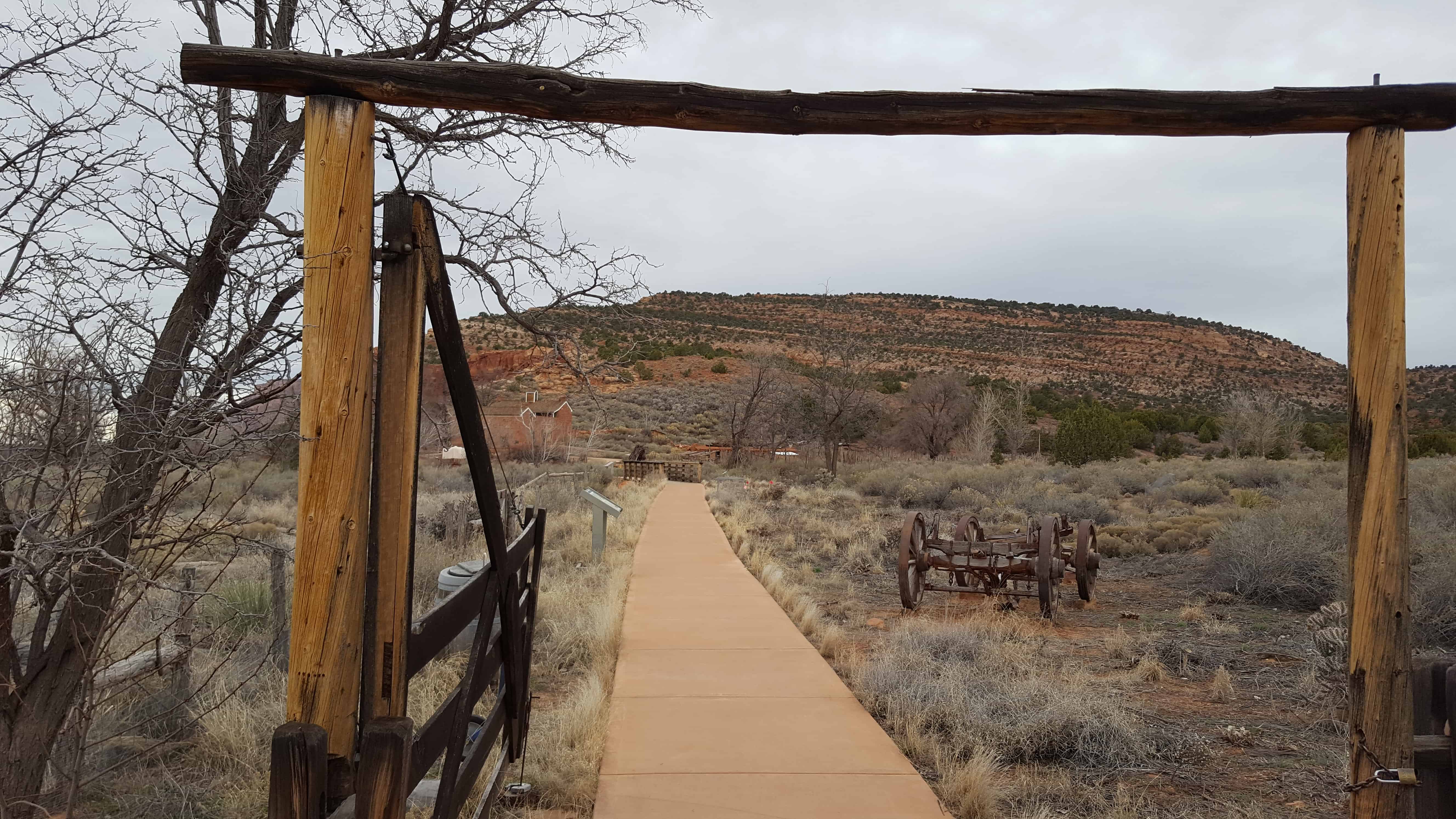
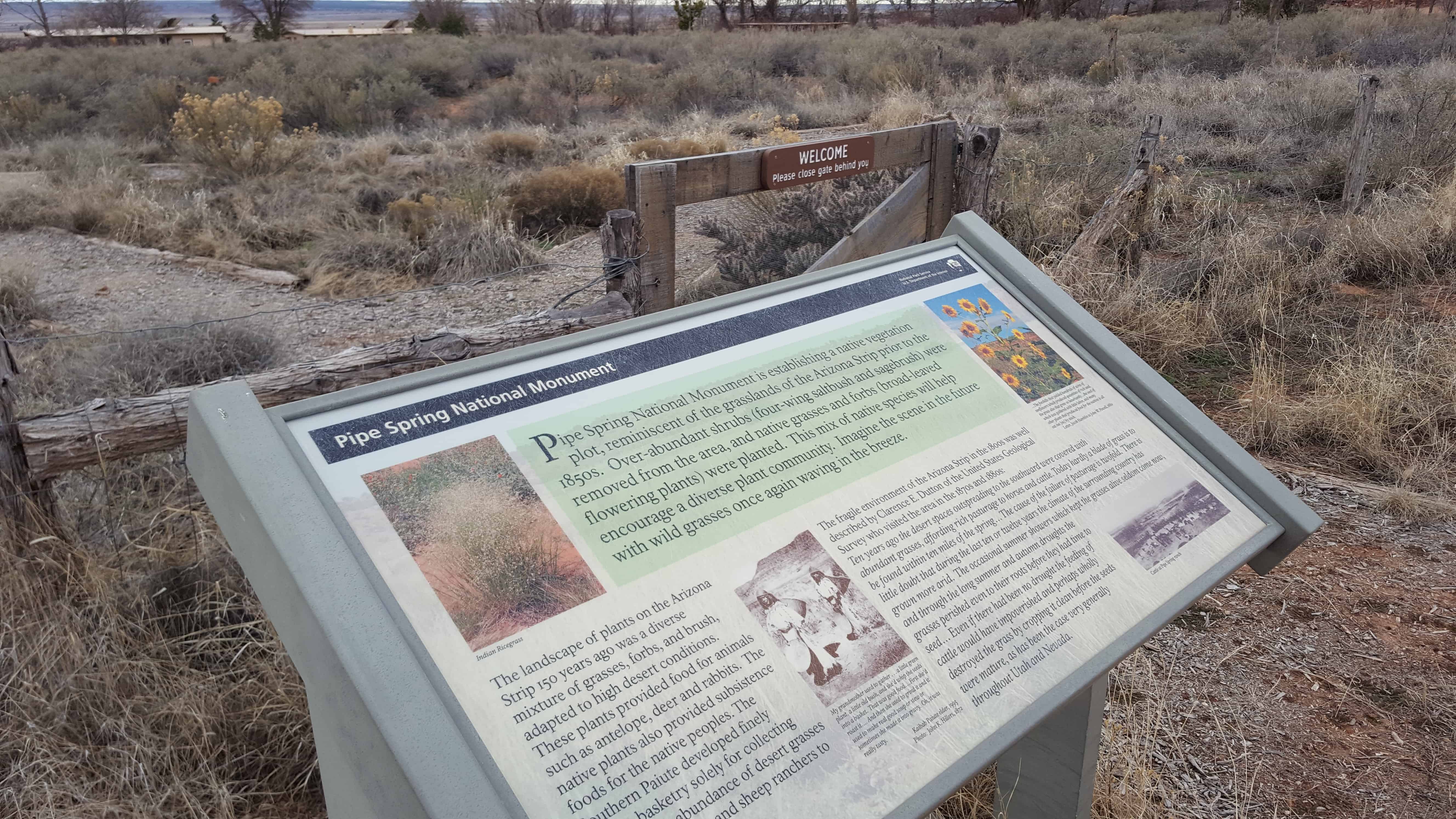
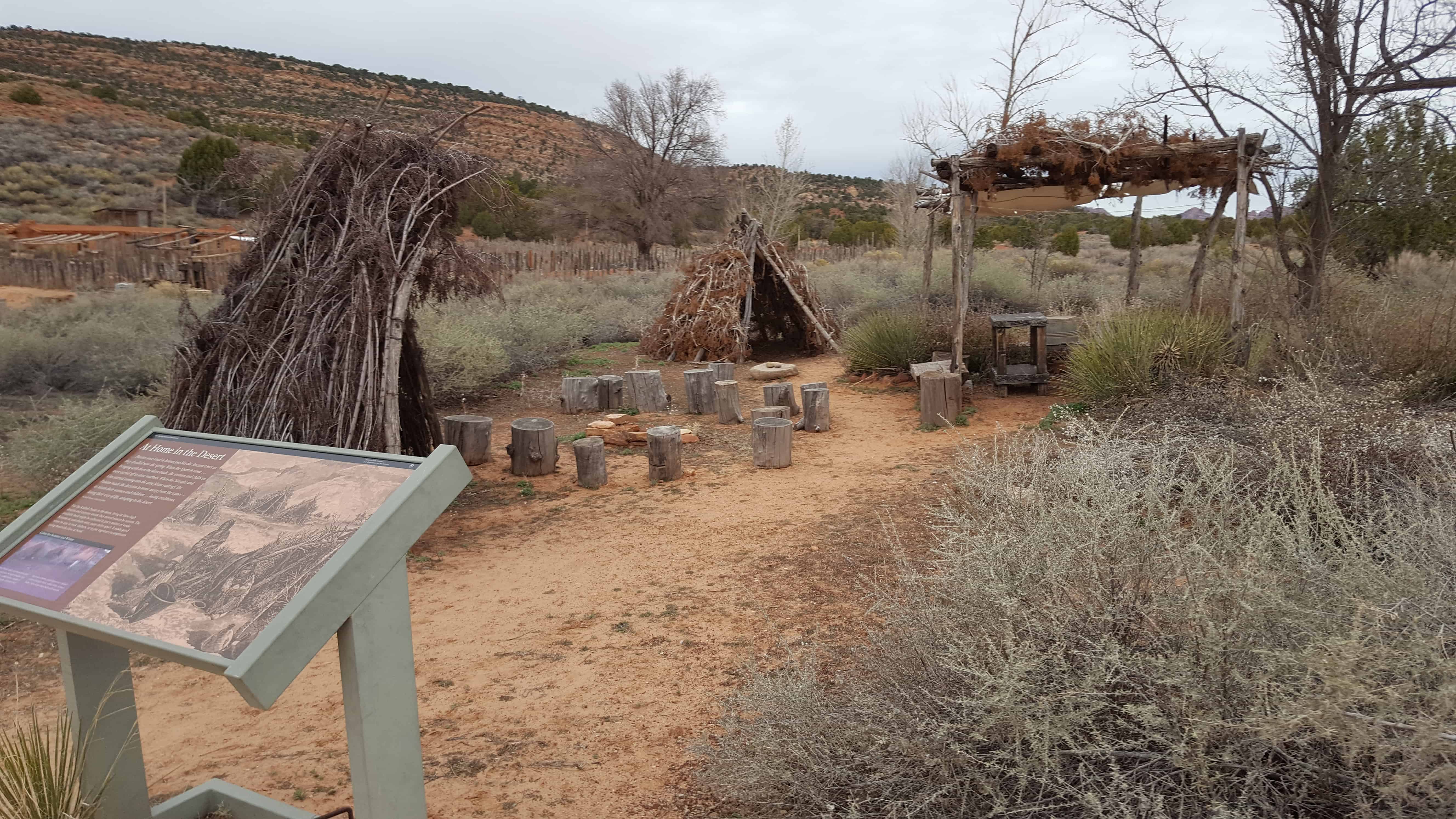
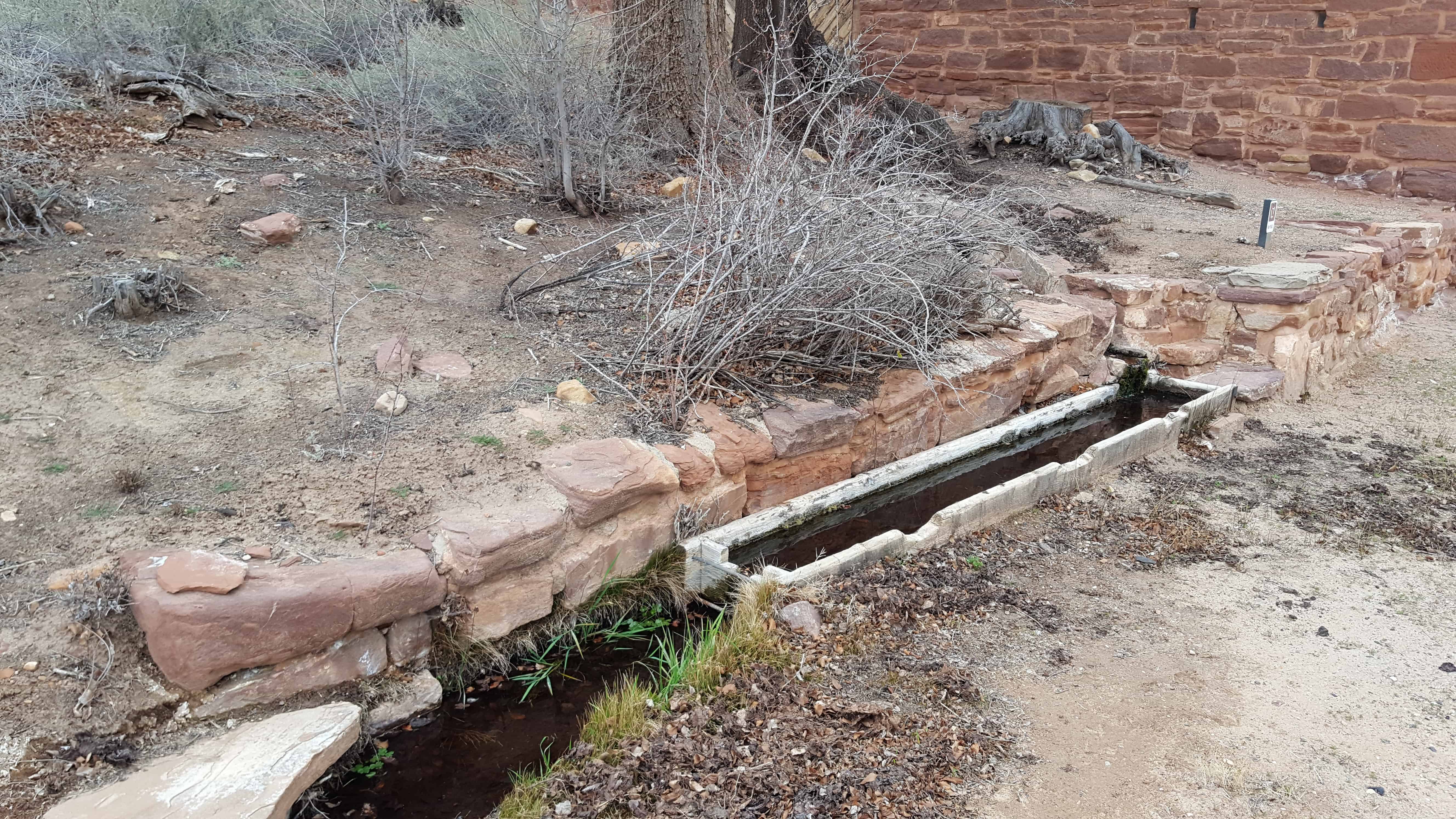
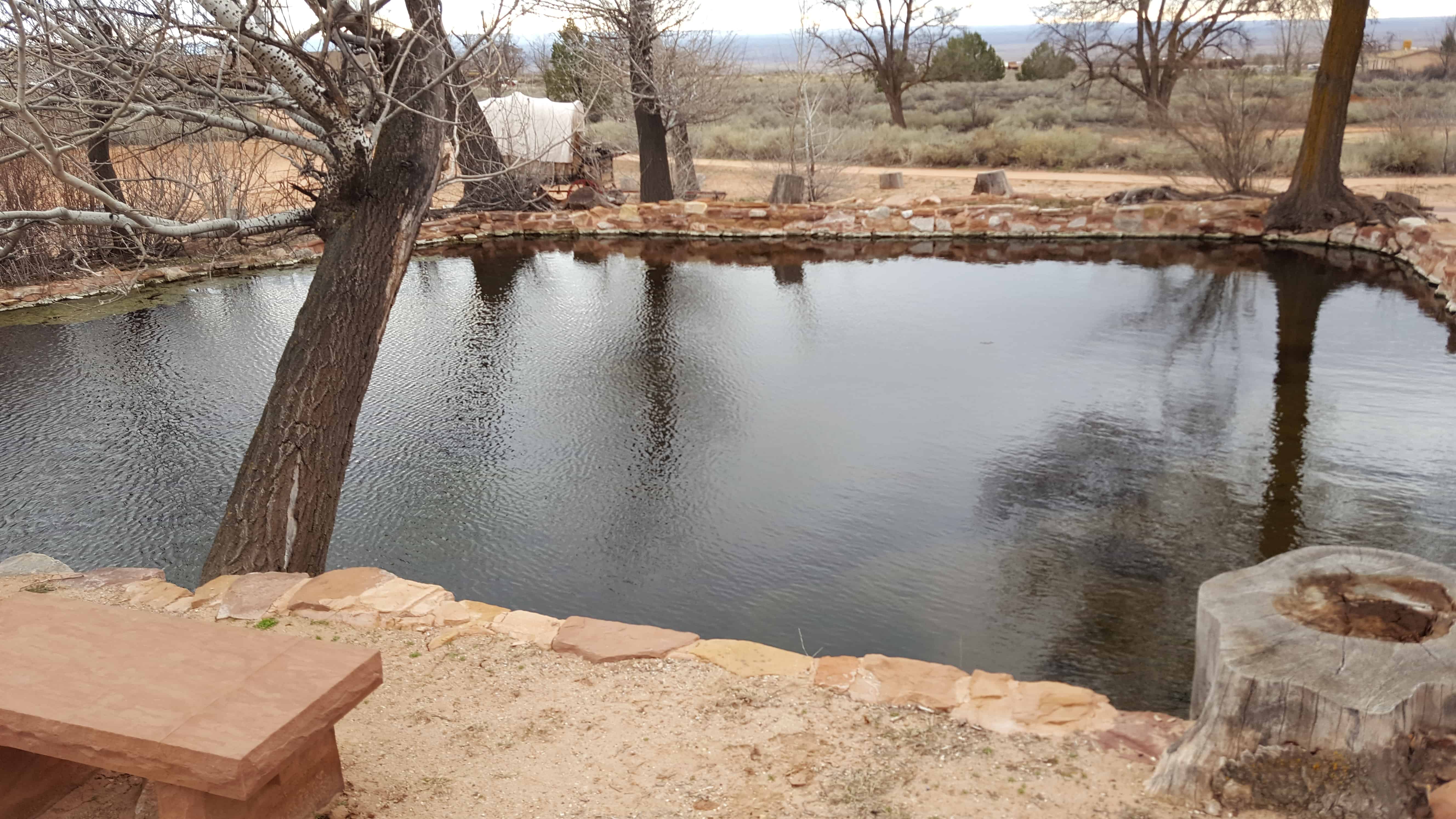
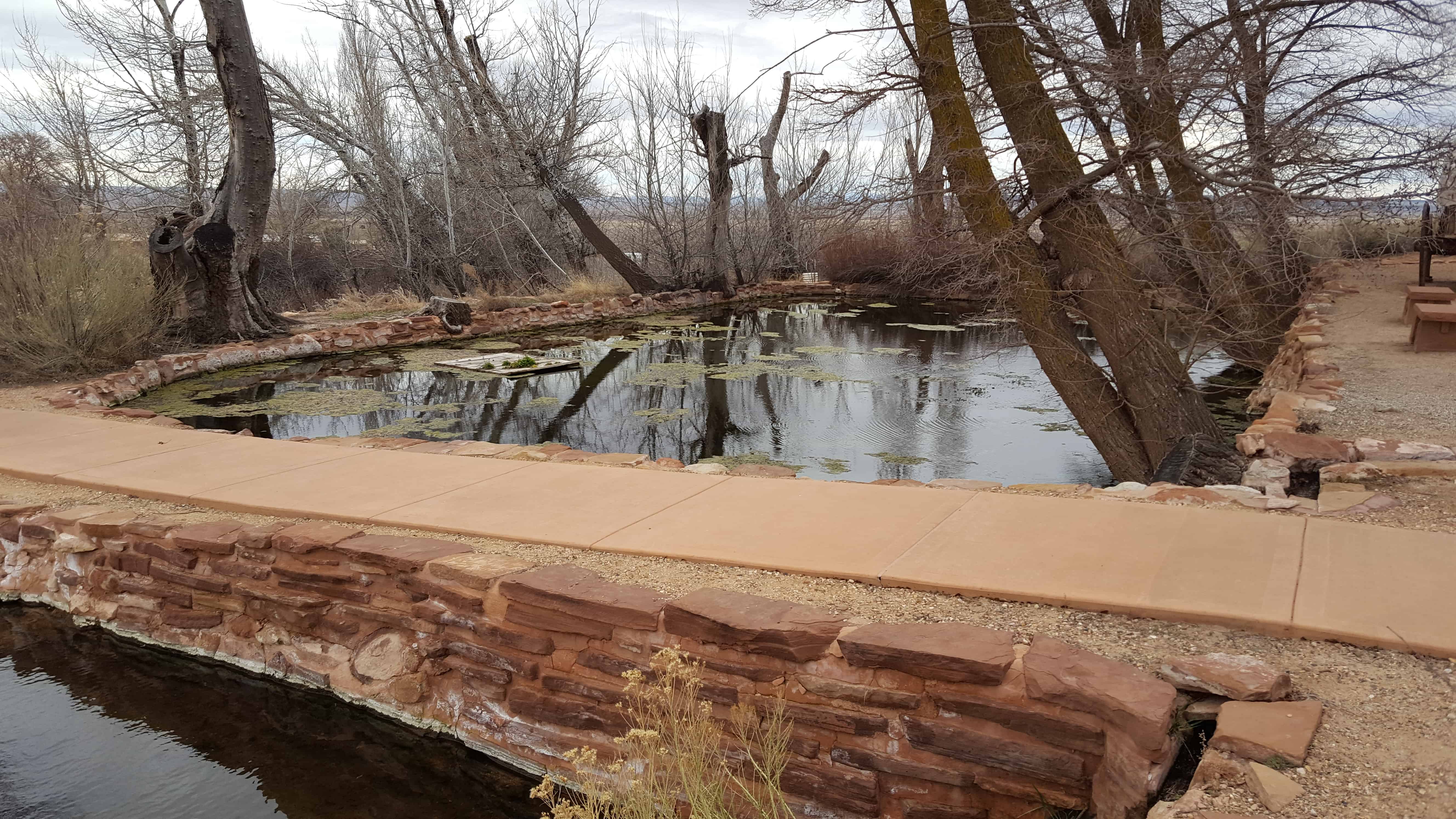
The water of Pipe Spring has made it possible for plants, animals, and people to live in this dry desert region. Ancestral Puebloans and Kaibab Paiute Indians gathered grass seeds, hunted animals, and raised crops near the springs for at least 1,000 years.
Antonio Armijo discovered the springs when he passed through the area in 1829, when he established by the Armijo Route of the Old Spanish Trail.
Pipe Spring was named by the 1858 Latter-day Saint missionary expedition to the Hopi mesas led by Jacob Hamblin. In the 1860s Mormon pioneers from St. George, Utah, led by James M. Whitmore brought cattle to the area, and a large cattle ranching operation was established. In 1866 the Apache, Navajo and Paiute tribes of the region joined the Utes for the Black Hawk War, and, after they raided Pipe Spring, a protective fort was constructed by 1872 over the main spring. The following year the fort and ranch was purchased by Brigham Young for The Church of Jesus Christ of Latter-day Saints (LDS Church). The LDS Bishop of nearby Grafton, Utah, Anson Perry Winsor, was hired to operate the ranch and maintain the fort, soon called Winsor Castle. This isolated outpost served as a way station for people traveling across the Arizona Strip, that part of Arizona separated from the rest of the state by the Grand Canyon. It also served as a refuge for polygamist wives during the 1880s and 1890s. The LDS Church lost ownership of the property through penalties involved in the federal Edmunds-Tucker Act of 1887.
Although their way of life was greatly impacted by Mormon settlement, the Paiute Indians continued to live in the area and by 1907 the Kaibab Paiute Indian Reservation was established, surrounding the privately owned Pipe Spring ranch. In 1923, the Pipe Spring ranch was purchased and set aside as a national monument to be a memorial to western pioneer life.
Lehi City was incorporated on 5 February 1852, making it Utah’s sixth oldest community. The peopling of Utah Valley by Mormon settlers was followed by two decades of tumultuous relations with Native Americans. The area was the ancestral homeland of Ute Indians. For centuries they had dwelt around Utah Lake, fishing, hunting, and harvesting native plants for food. Their way of life was dramatically upended by the arrival of white settlers.
Mormons believed that Indians were a “remnant of scattered Israel,” a fallen race whose ancestors history was outlined in the Book of Mormon. Utah Territorial Governor Brigham Young initially viewed Native Americans as “people of destiny” whom Latter-day Saints were obligated to redeem. But his position changed after unending disputes with Native Americans who were forced by starvation to raid white settlements for food. Ultimately, Indians in Utah Valley fared no better than they did elsewhere in America. All Utes were removed from the area by 1865.
During the Walker War of 1854 Lehi settlers were advised by Mormon church leaders to “fort up.” Eventually the sixteen-block Lehi City was surrounded with a eight-foot high protective adobe wall 7m425 feet in length. After 1858 the wall, no longer needed, began to deteriorate. The last remaining section was demolished in 1905.
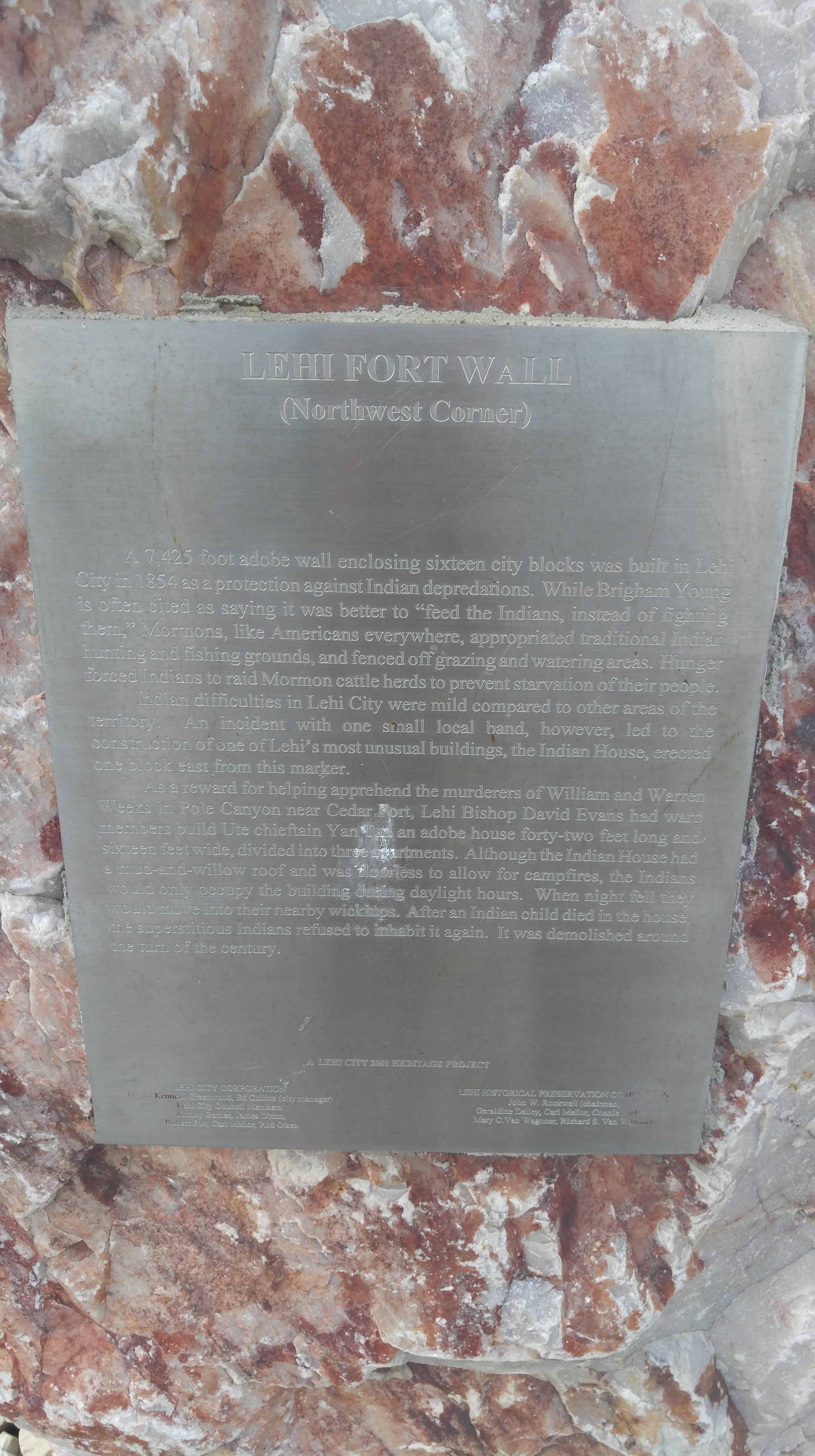
A 7,425 foot adobe wall enclosing sixteen city blocks was built in Lehi City in 1854 a a protection against Indian depredations. While Brigham Young is often cited as saying it was better to “feed the Indians, instead of fighting them,” Mormons, like Americans everywhere, appropriated traditional Indian hunting and fishing grounds, and fenced off grazing and watering areas. Hunger forced Indians to raid Mormon cattle herds to prevent starvation of their people.
Indian difficulties in Lehi City were mild compared to other areas of the territory. An incident with one small local band, however, led to the construction of one of Lehi’s most unusual buildings, the Indian House, erected one block east from this marker.
As a reward for helping apprehend the murderers of William and Warren Weeks in Pole Canyon near Cedar Fort, Lehi Bishop David Evans had ward members build Ute chieftain Yan Tan an adobe house forty-two feet long and sixteen feet wide, divided into three apartments. Although the Indian House had a mud-and-willow roof and was floorless to allow for campfires, the Indians would only occupy the building during daylight hours. When night fell they would move into their nearby wickiups. After an Indian child died in the house, the superstitious Indians refused to inhabit it again. It was demolished around the turn of the century.
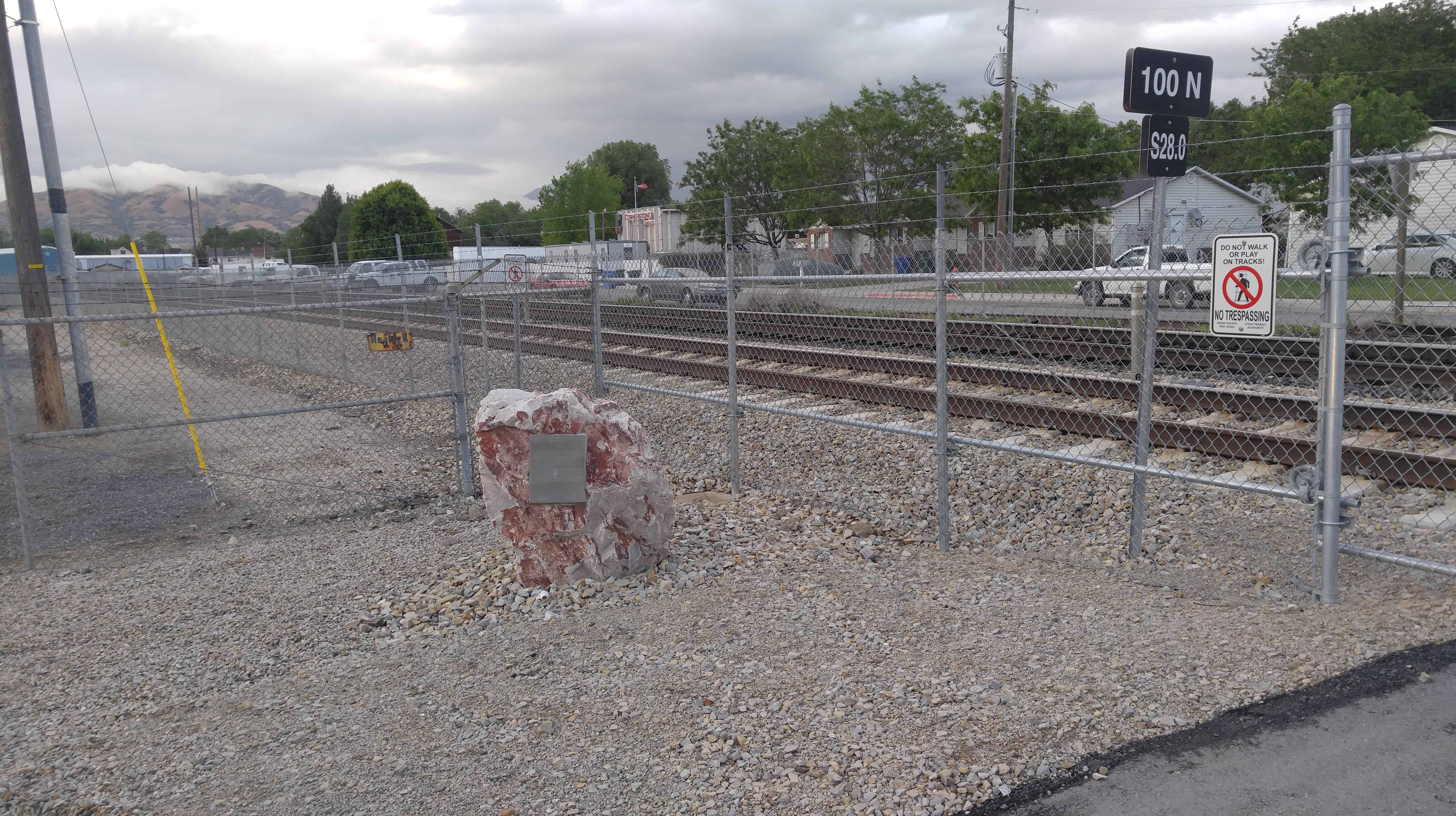
See posts on the other corners here: N.E., S.E., S.W.
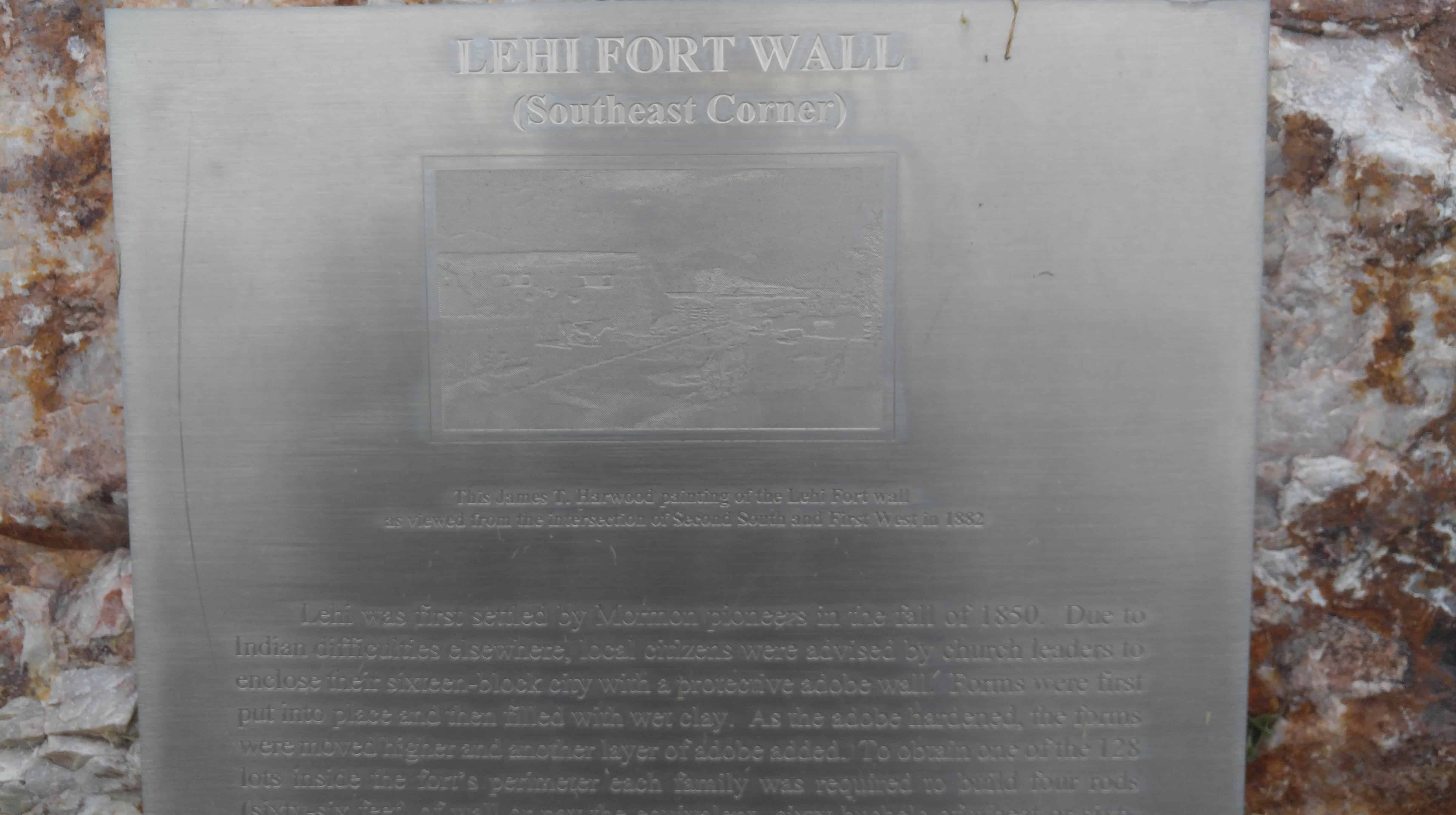
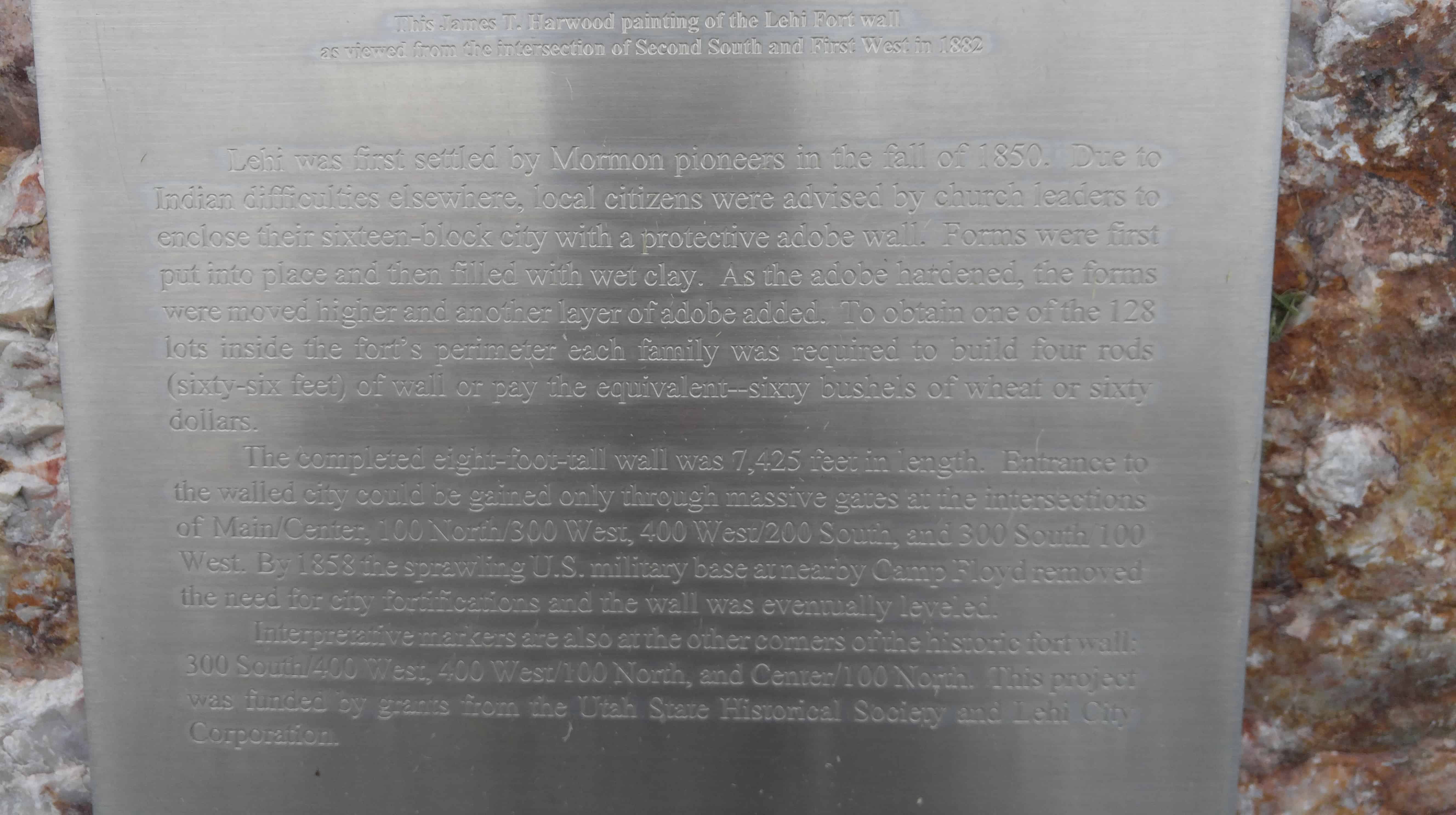
Lehi was first settled by Mormon pioneers in the fall of 1850. Due to Indian difficulties elsewhere, local citizens were advised by church leaders to enclose their sixteen-block city with a protective adobe wall. Forms were first put into place then filled with wet clay. As the adobe hardened the forms were moved higher and another layer of adobe added.”
(To obtain one of the 128 lots inside the fort’s perimeter each family was required to assist in the building of the wall. )
The completed eight-foot tall wall was 7,425 feet in length. Entrances to the walled city could be gained only through massive gates at four intersections
By 1858 the sprawling U.W. Military base at nearby Camp Floyd removed the need for city fortifications and the wall was eventually leveled. Interpretive markers are also at the other corners of the historic fort wall.
This project was funded by grants from the Utah State Historical Society and Lehi City Corporation.
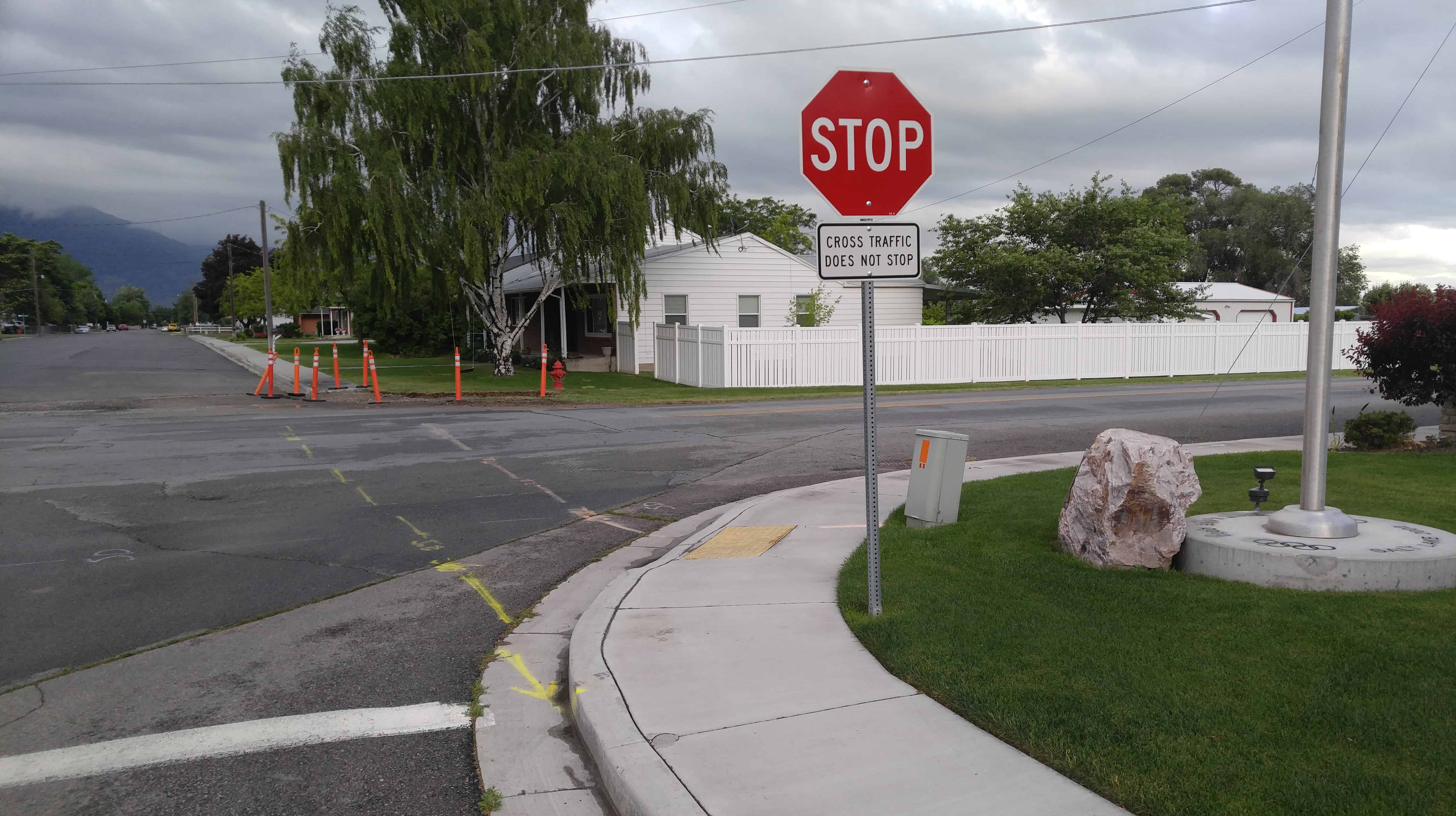
See posts on the other corners here: N.E., N.W., S.W.