• About JacobBarlow.com
  • Cemeteries in Utah
  • D.U.P. Markers
  • Doors
  • Exploring Utah Email List
  • Geocaching
  • Historic Marker Map
  • Links
  • Movie/TV Show Filming Locations
  • Oldest in Utah
  • Other Travels
  • Photos Then and Now
  • S.U.P. Markers
  • U.P.T.L.A. Markers
  • Utah Cities and Places.
  • Utah Homes for Sale
  • Utah Treasure Hunt

JacobBarlow.com

~ Exploring with Jacob Barlow

JacobBarlow.com

Tag Archives: Forts

Lehi Fort Wall – Northeast

11 Saturday Jun 2016

Posted by Jacob Barlow in Uncategorized

≈ 4 Comments

Tags

Forts, historic, Lehi, utah, utah county

2017-11-25 13.15.23

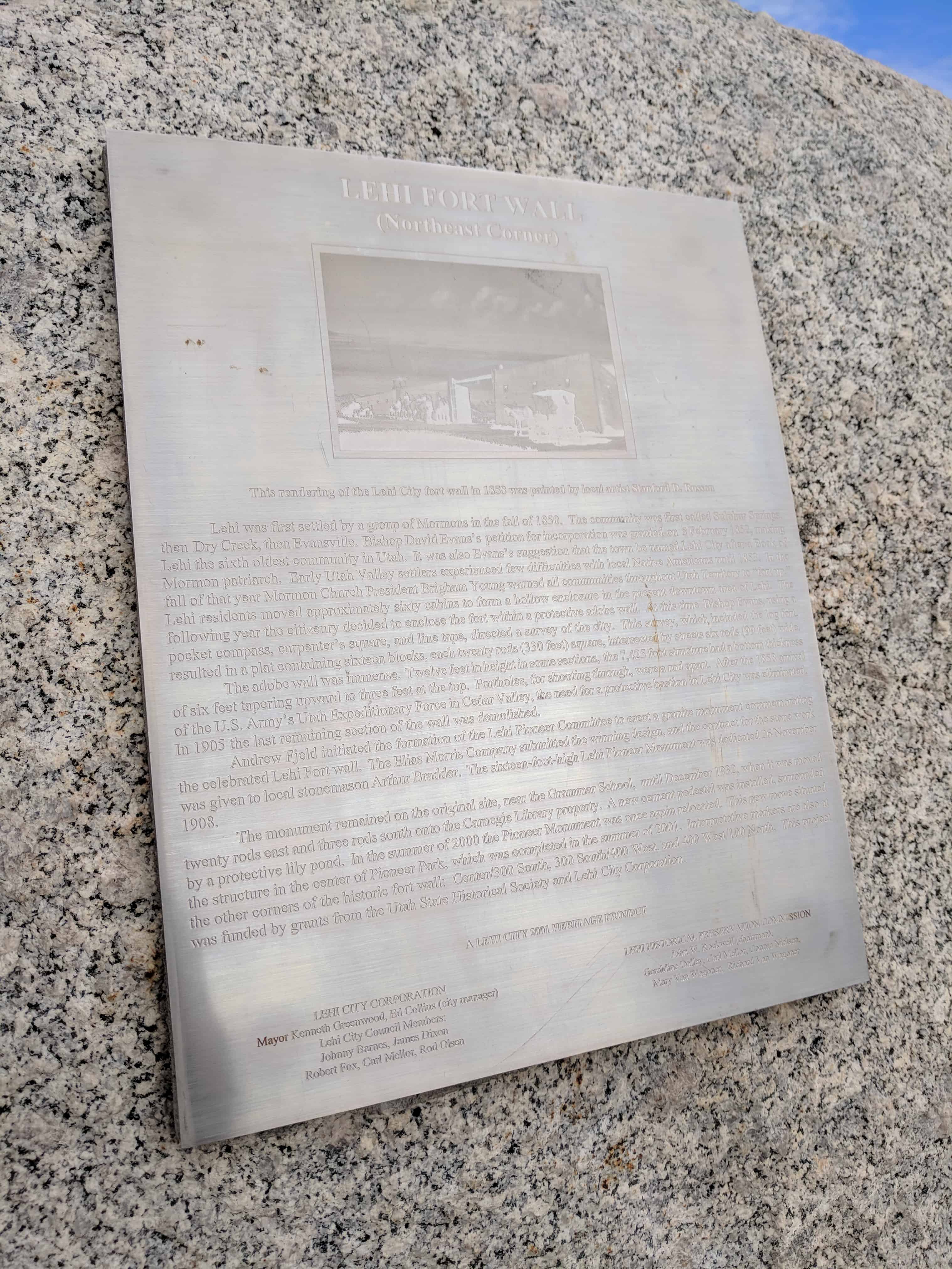
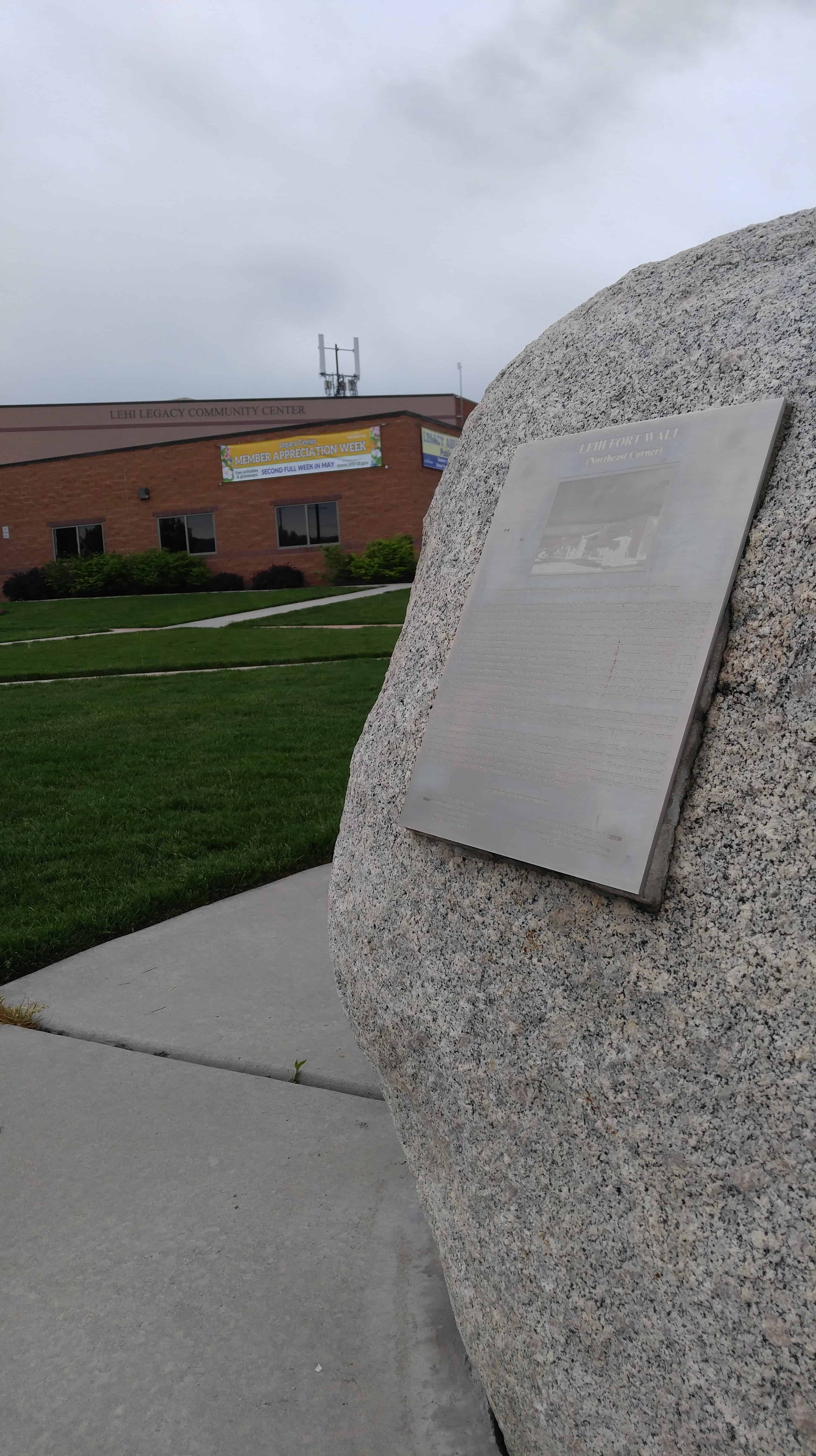
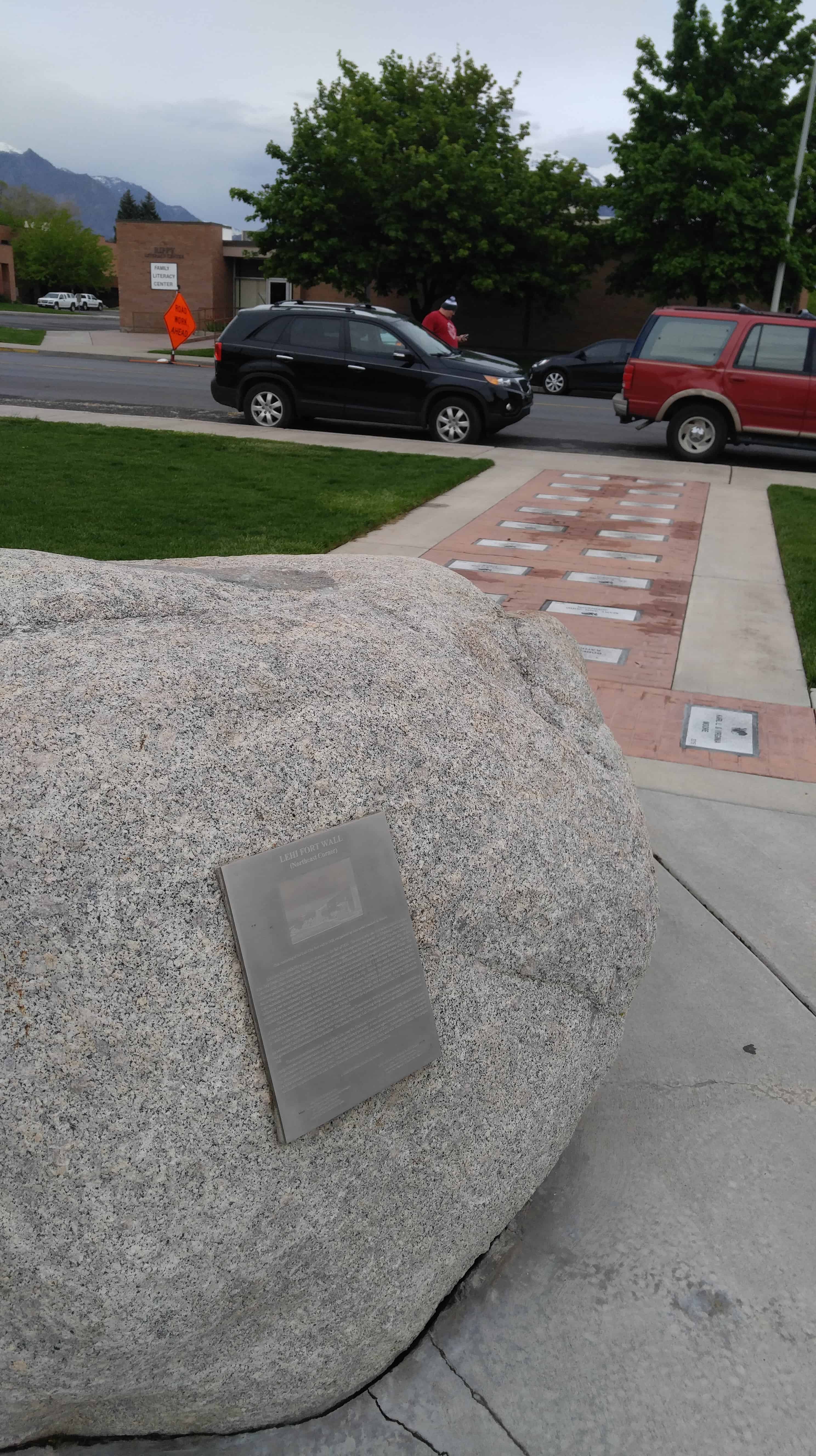
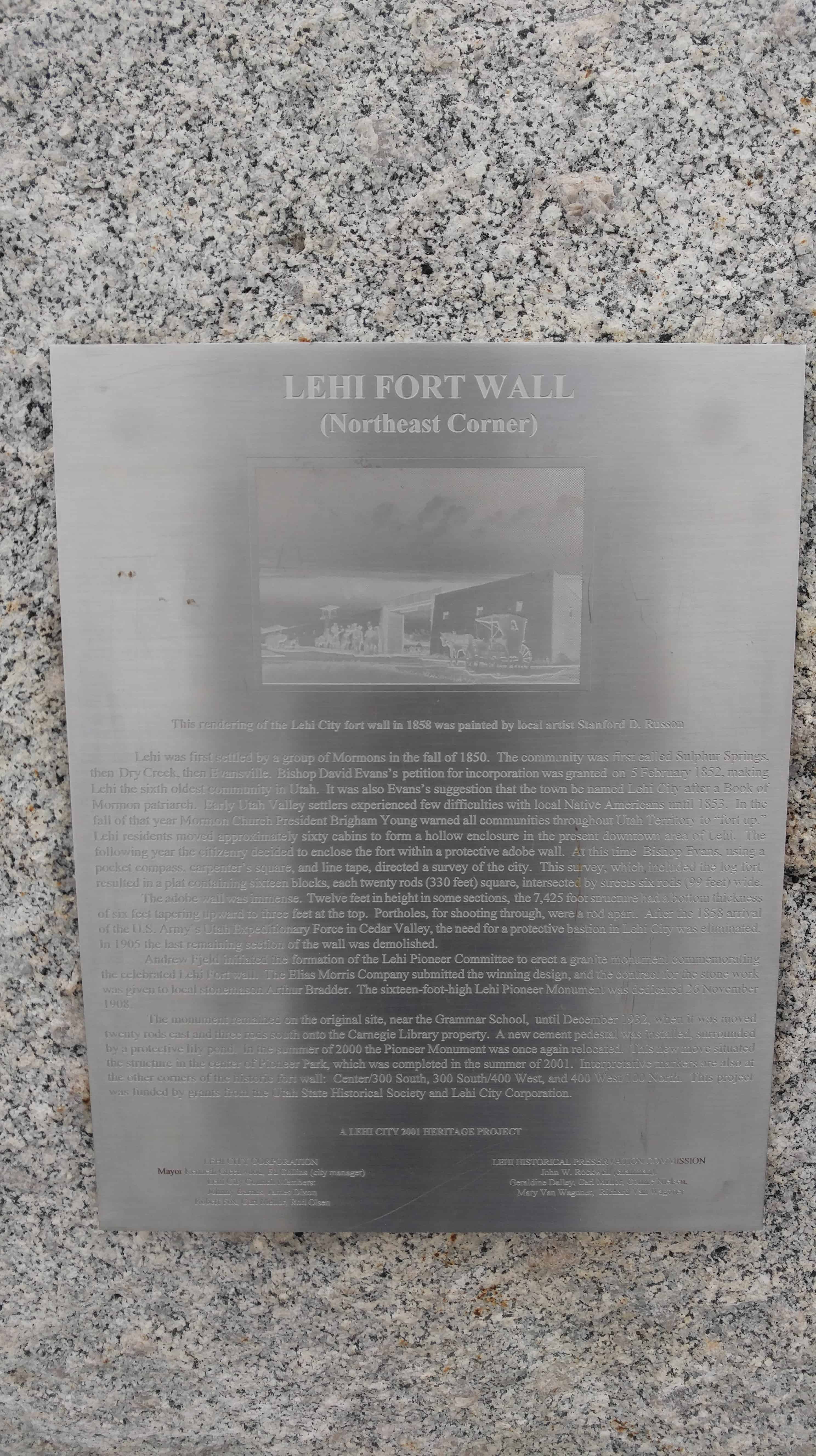
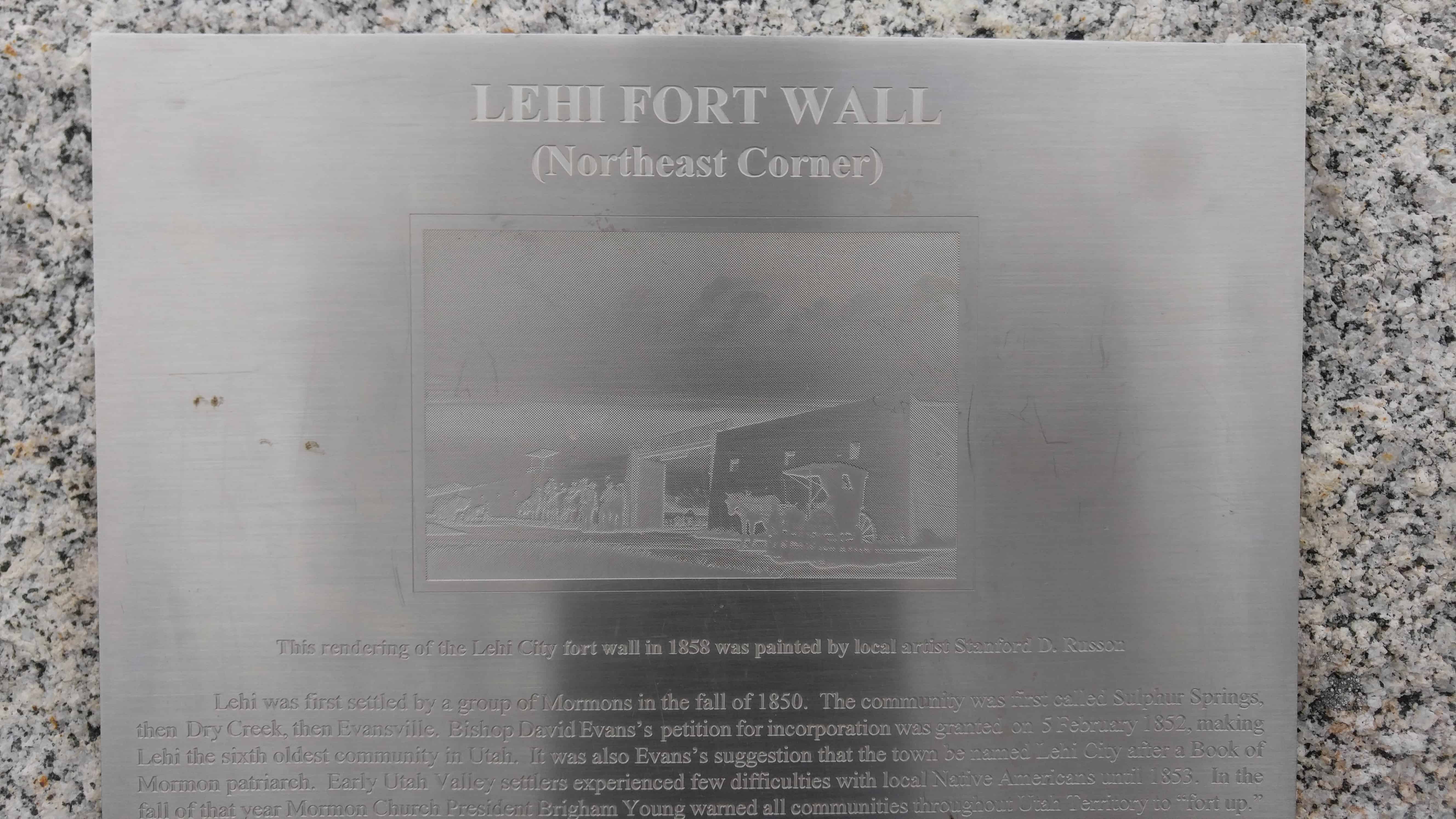
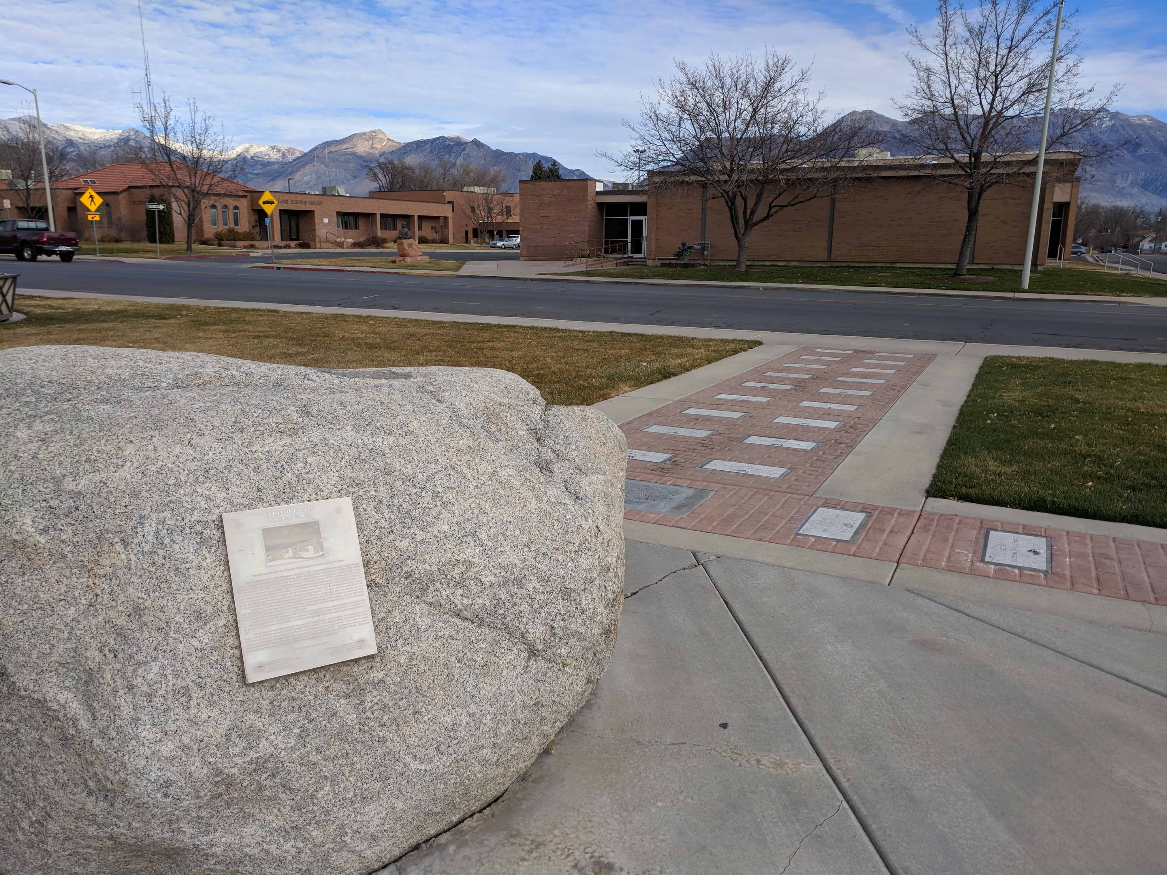
Lehi Fort Wall

Northeast Corner

Lehi was first settled by a group of Mormons in the fall of 1850.  The community was first called Sulphur Springs, the Dry Creek, then Evansville.  Bishop David Evans‘ petition for incorporation was granted in 5 February 1852, making Lehi the sixth oldest community in Utah.  It was also Evans’ suggestion that the town be named Lehi City after a Book of Mormon patriarch.  Early Utah Valley settlers experienced few difficulties with local Native Americans until 1853.  In the fall of that year Mormon Church President Brigham Young warned all communities throughout Utah Territory to “fort up.”   Lehi residents moved approximately sixty cabins to form a hollow enclosure in the present down area of Lehi.  The following year the citizenry decided to enclose the fort within a protective adobe wall.  At this time Bishop Evans, using a pocket compass, carpenter’s square, and line tape, directed a survey of the city.  This survey, which included the log fort , resulted in a play containing sixteen blocks, each twenty rods (330 feet) square, intersected by streets six rods (99 feet) wide.

The adobe wall was immense.  Twelve feet in height in some sections, the 7,425 foot structure had a bottom thickness of six feet tapering upward to three feet at the top.  Portholes, for shooting through, were a rod apart.  After the 1858 arrival of the U.S. Army’s Utah Expeditionary Force in Cedar Valley, the need for a protective bastion in Lehi City was eliminated.   In 1905 the last remaining section of the wall was demolished.

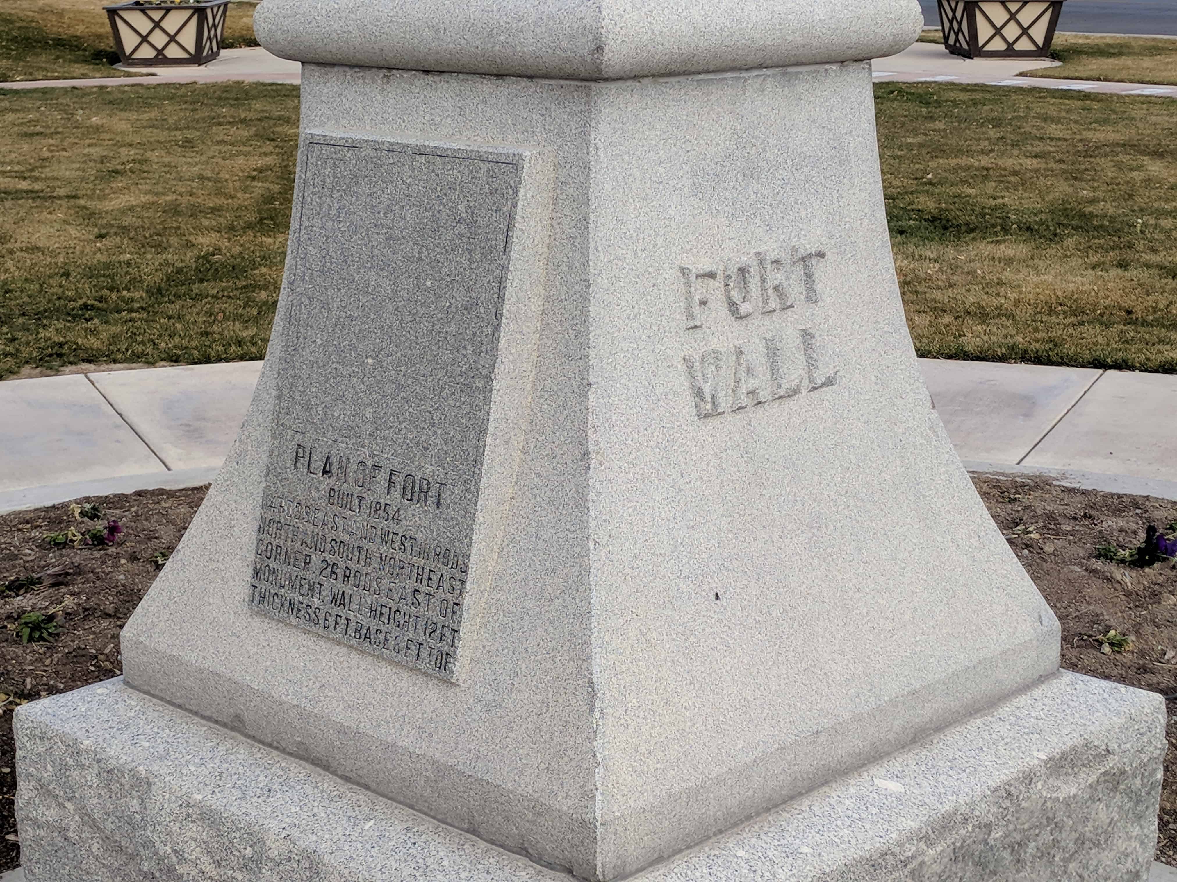
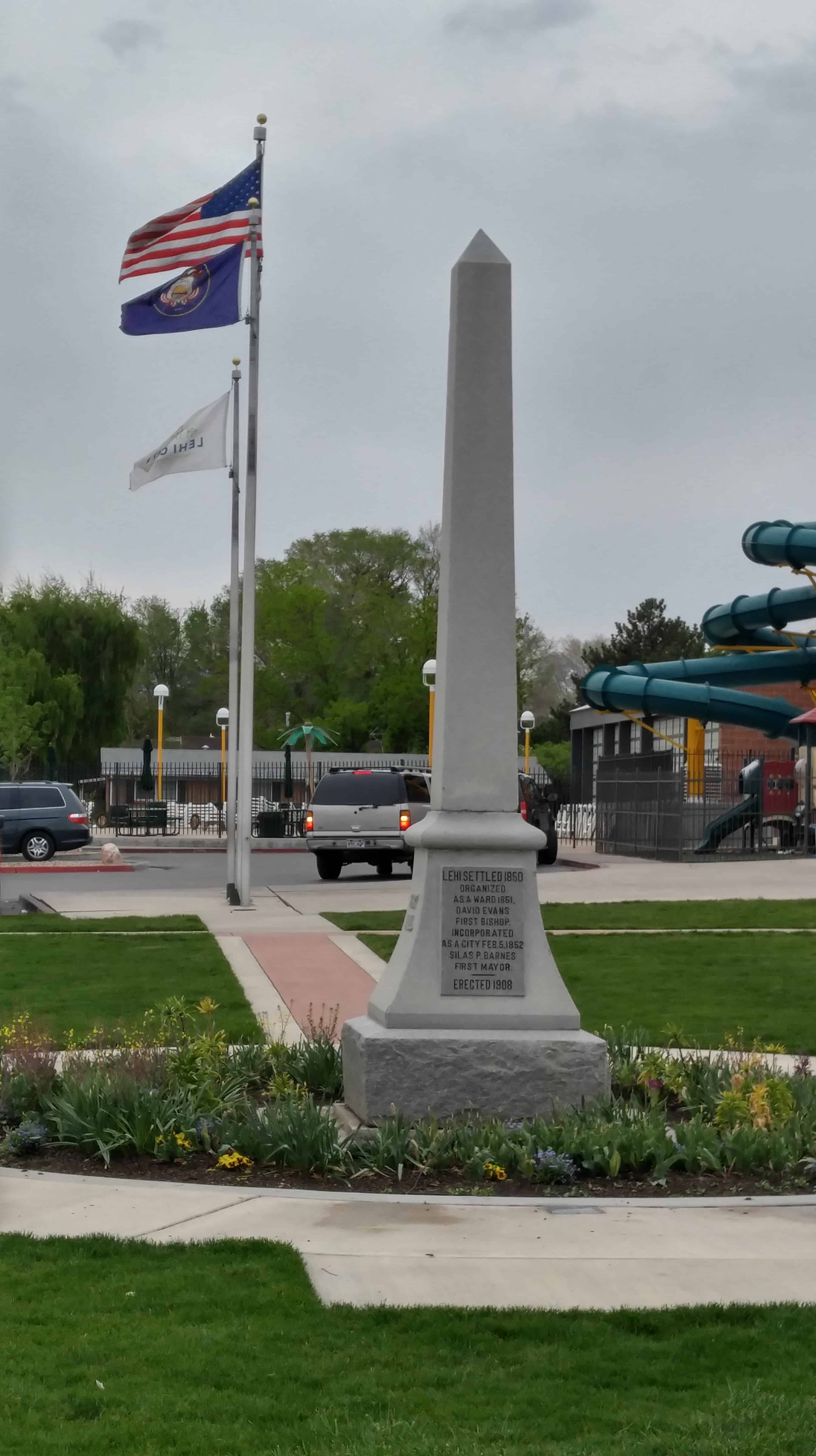
Andrew Fjeld initiated the formation of the Lehi Pioneer Committee to erect a granite monument commemorating the celebrated Lehi Fort wall.  The Elias Morris Company submitted the winning design, and the contract for the stone work was given to local stonemason Arthur Bradder.  The sixteen-foot-high Lehi Pioneer Monument was dedicated 26 November 1908.

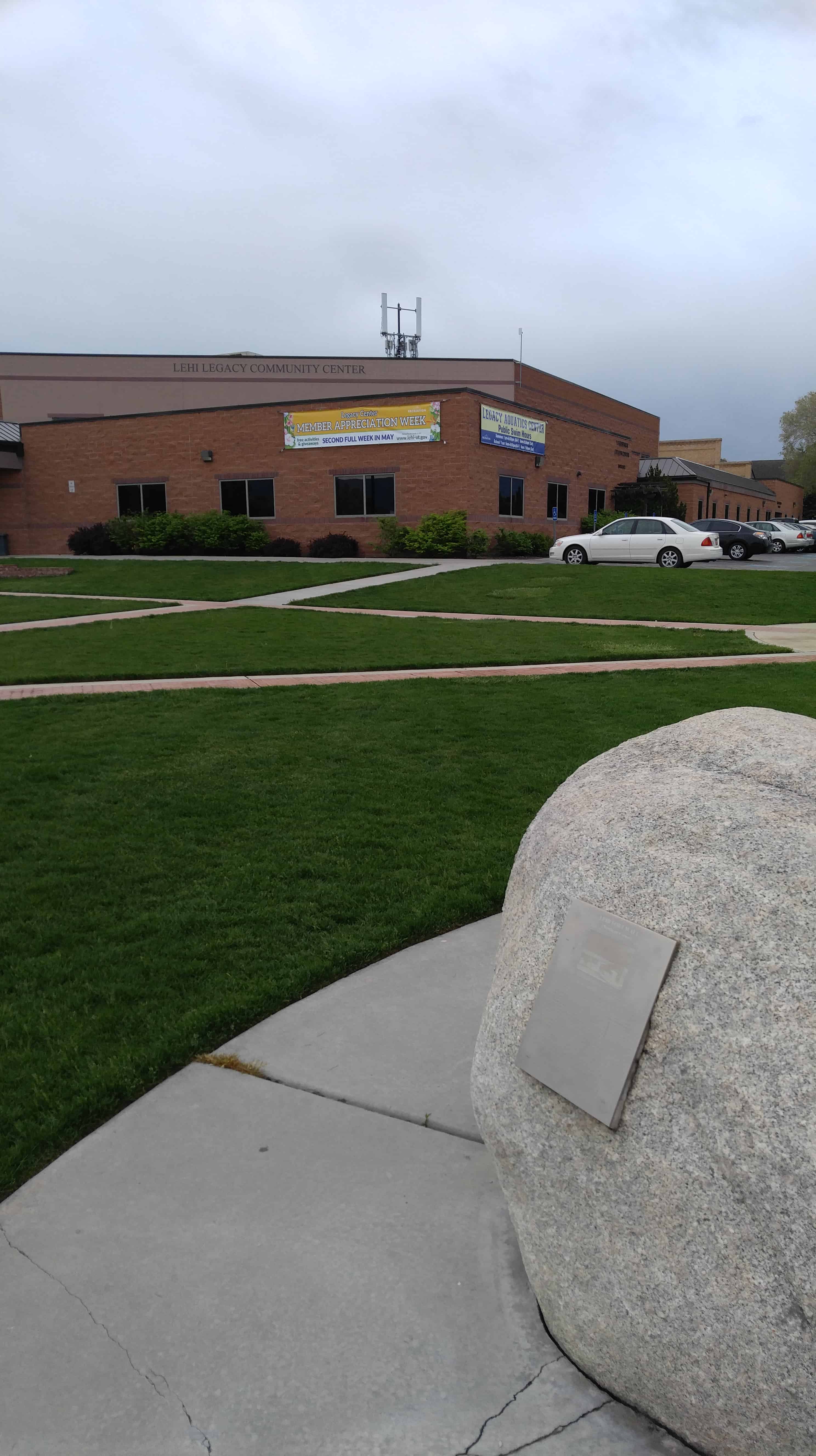
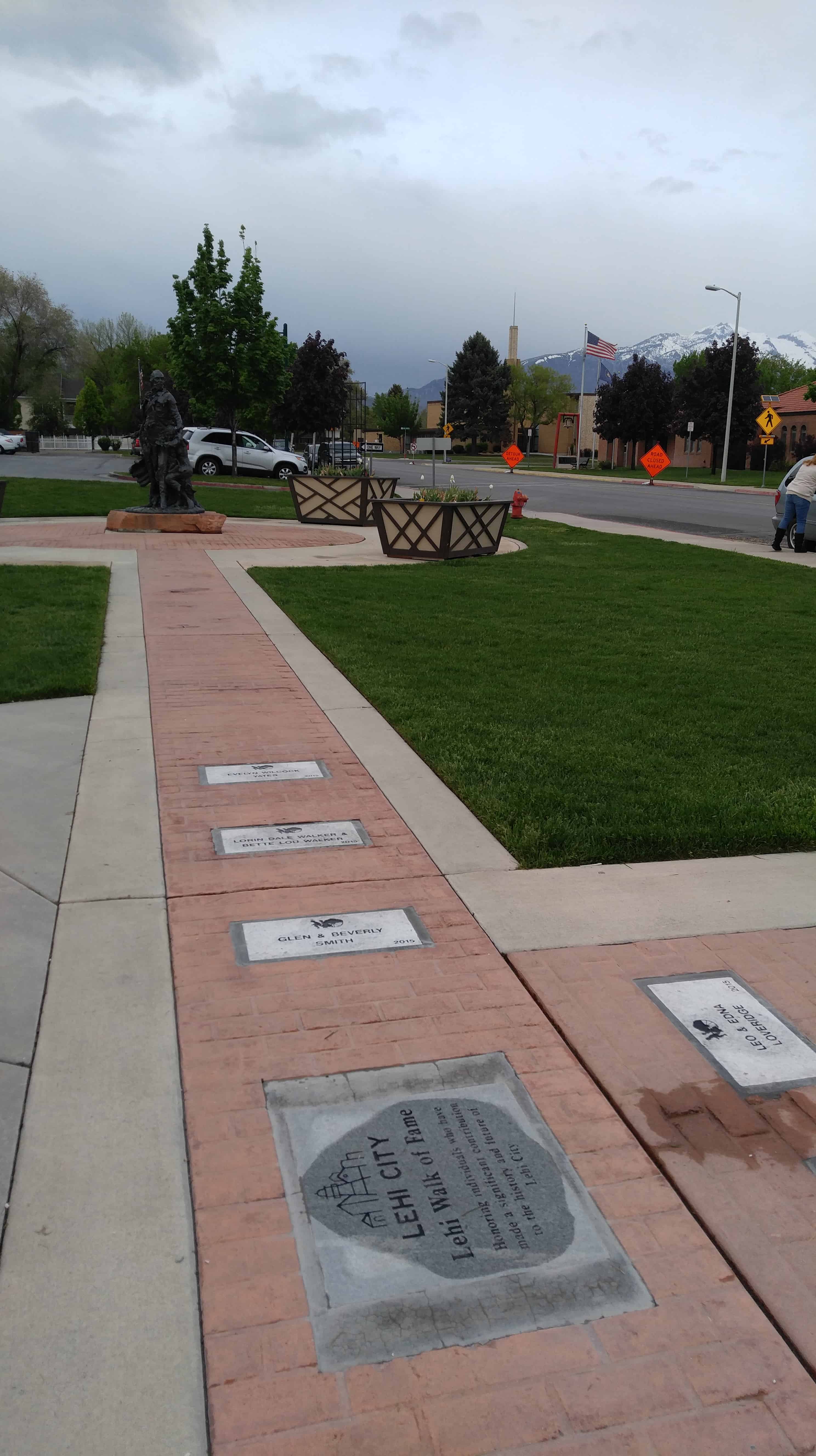
The monument remained on the original site, near the Grammar School, until December 1932, when it was moved twenty rods south onto the Carnegie Library property.  A new cement pedestal was installed, surrounded by a protective lily pond.  In the summer of 2000 the Pioneer Monument was once again relocated.  This new move situated the structure in the center of Pioneer Park, which was completed in the summer of 2001.  Interpretative markers are also at the other corners of the historic fort wall: Center/300 South, 300 South 400 West, and 400 West/100 North.  This project was funded by grants from the Utah State Historical Society and Lehi City Corporation.

2017-11-25 13.13.20
2017-11-25 13.13.52
2017-11-25 13.13.57
2017-11-25 13.16.02

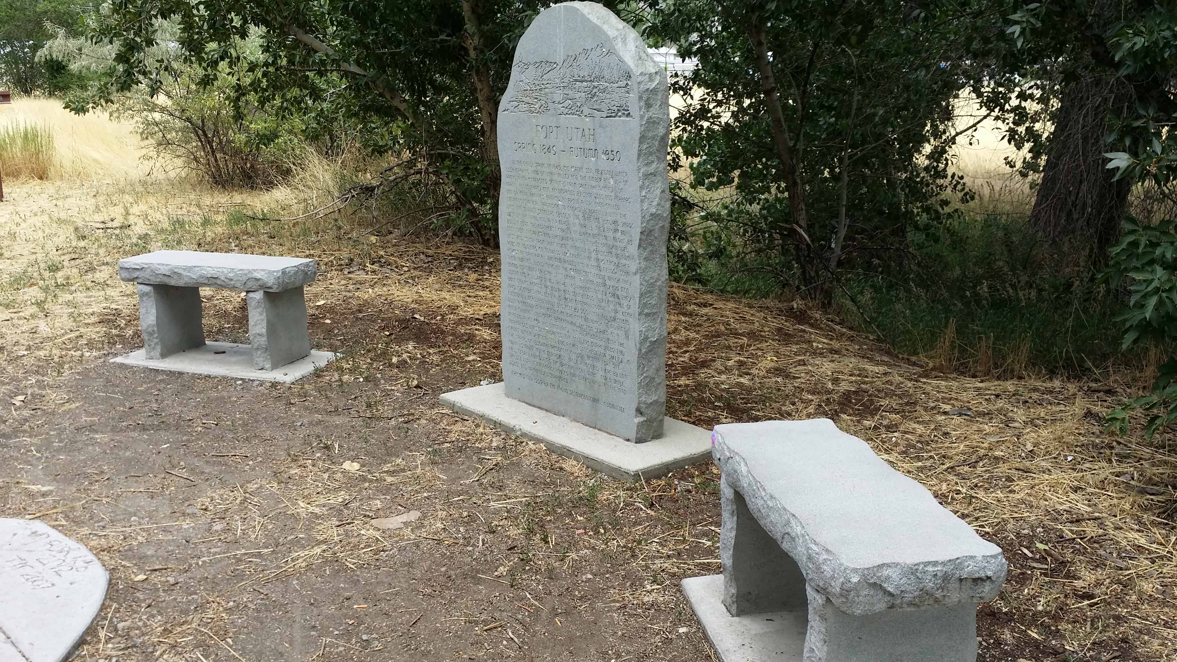
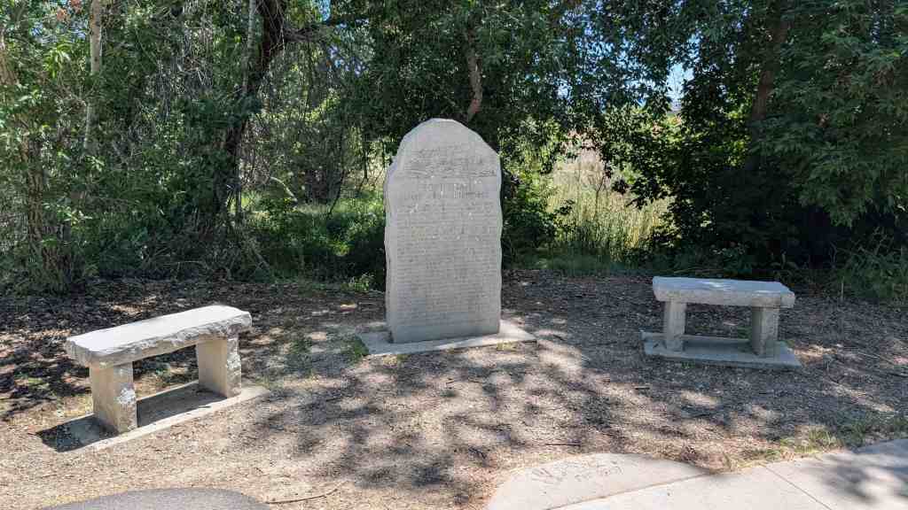
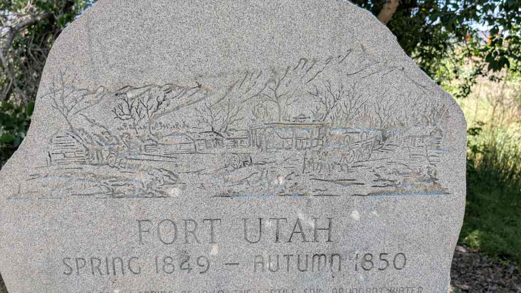
Fort Utah Marker

30 Sunday Aug 2015

Posted by Jacob Barlow in Uncategorized

≈ 10 Comments

Tags

Forts, Hiistoric, Provo, utah, utah county

2017-09-23 14.26.50

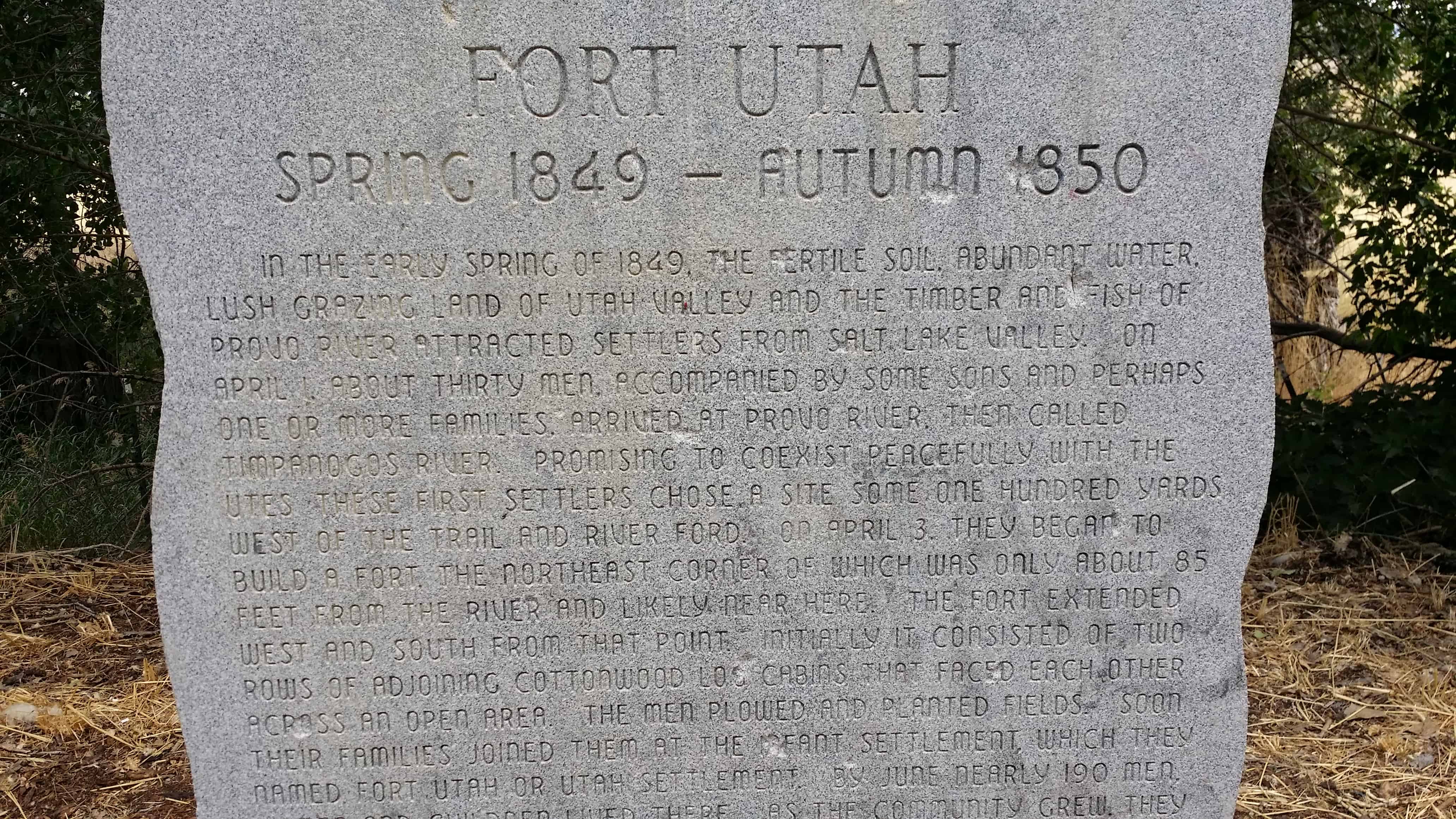
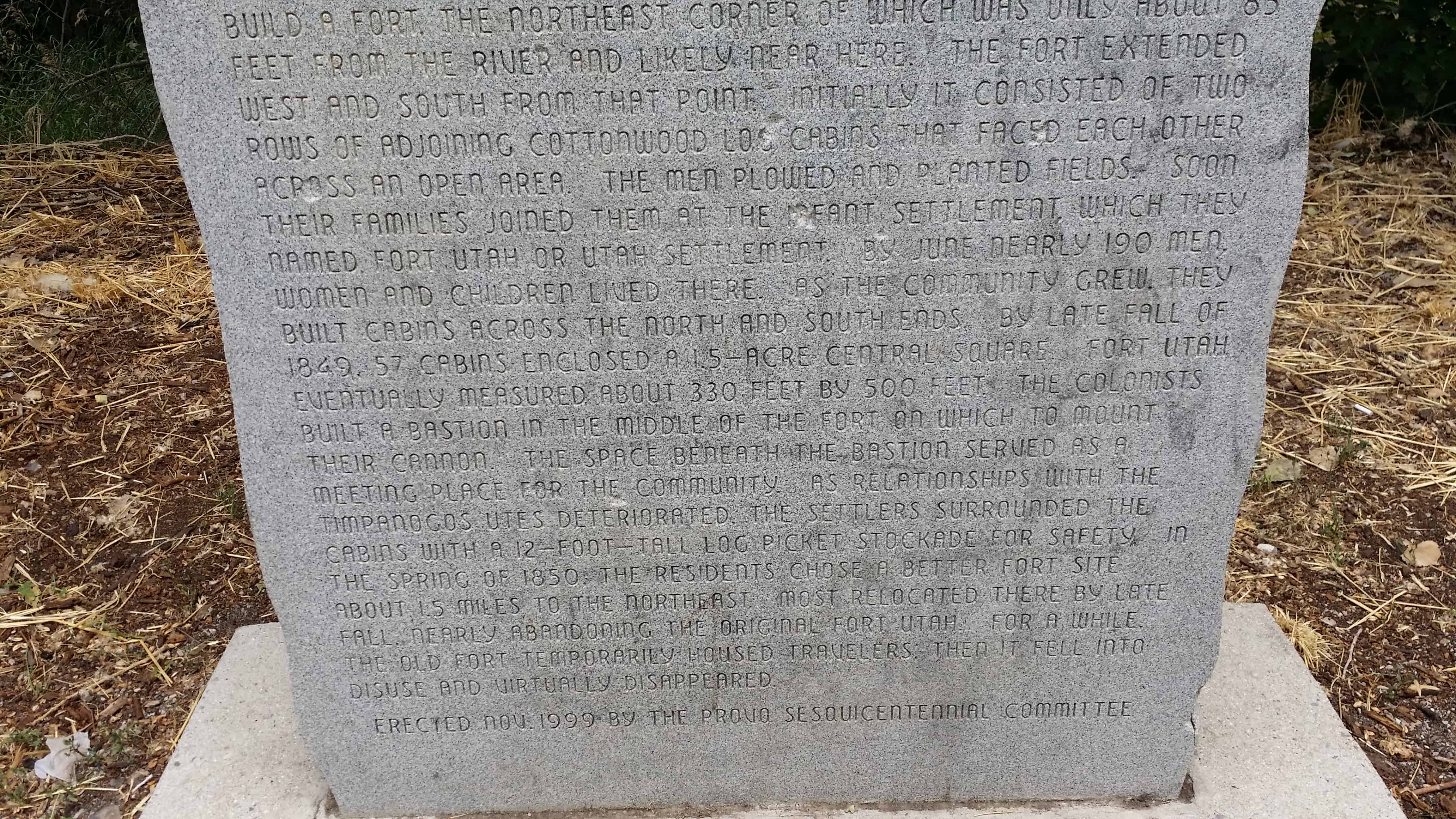
In the early spring of 1849, the fertile soil , abundant water, lush grazing land of Utah Valley and the timber and fish of Provo River attracted settlers from Salt Lake Valley. On April 1, about thirty men, accompanied by some sons and perhaps one or more families, arrived at Provo River, then called Timpanogos River. Promising to coexist peacefully with the Utes, these first settlers chose a site some one hundred yards west of the trail and rover ford. On April 3, they began to build a fort, the Northeast corner of which was only about 85 feet from the river and likely near here.

The fort extended west and south from that point, initially it consisted of two rows of adjoining cottonwood log cabins that faced each other across an open area. The men plowed and planted fields. Soon their families joined them at the infant settlement, which they named Fort Utah or Utah Settlement. By June nearly 190 men, women and children loved there. As the community grew, they built cabins across the north and south ends. By late fall of 1849 57 cabins enclosed a 1.5-acre central square. Fort Utah eventually measured about 330 feet by 500 feet. The colonists build a bastion in the middle of the fort on which to mount their cannon. The space beneath the bastion served as a meeting place for the community. As relationships with the Timpanogos Utes deteriorated the settlers surrounded the cabins with a 12-foot-tall log picket stockade for safety. In the spring of 1850 the residents chose a better fort site about 1.5 miles to the North-east. Most relocated there by late fall nearly abandoning the original Fort Utah. For a while the old fort temporarily housed travelers , then it fell into disuse and virtually disappeared.

See also:

  • Fort Utah DUP Marker
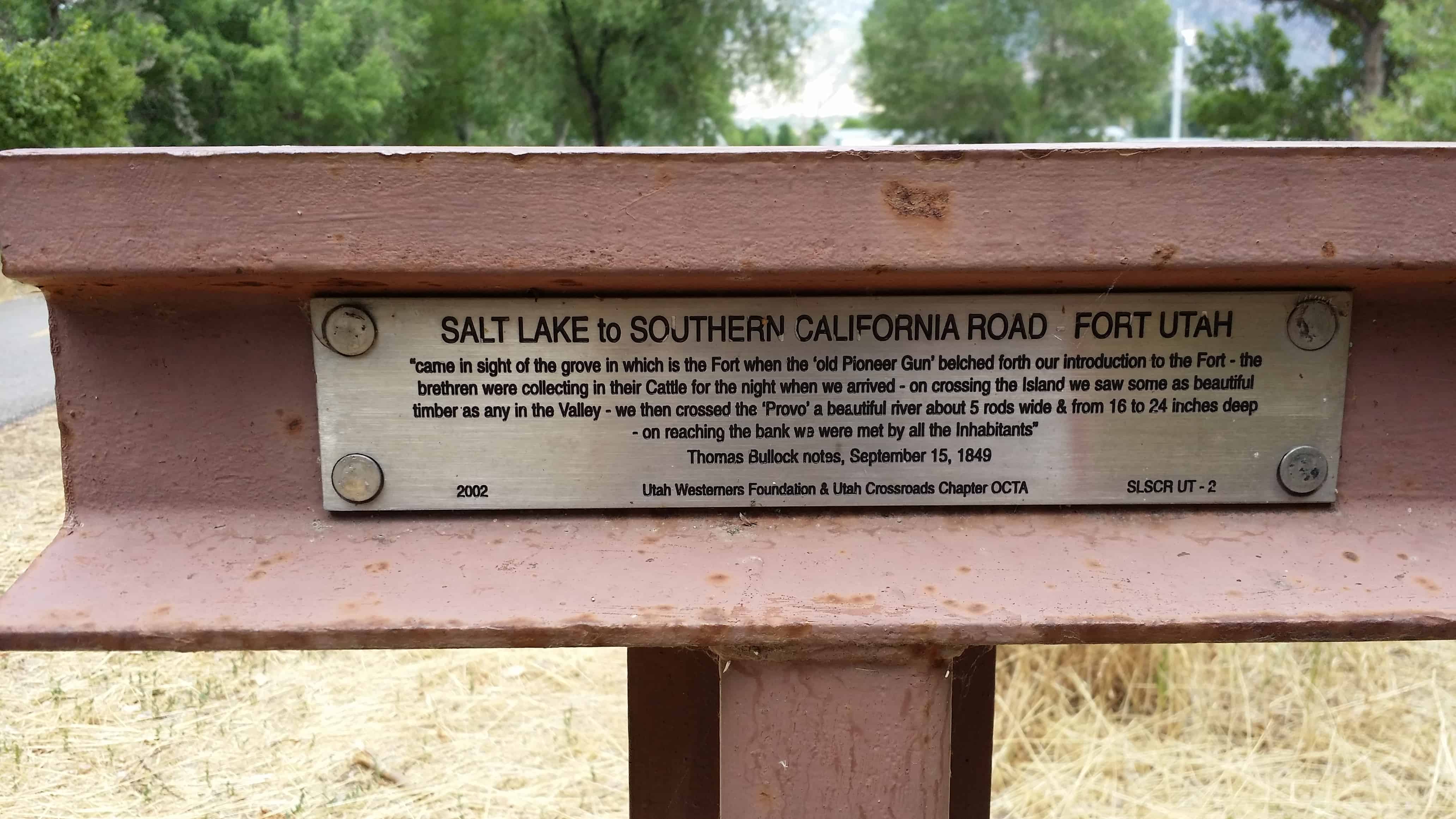
  • SLC to SoCal – Fort Utah
2017-09-23 14.26.53
2017-09-23 14.26.57
2017-09-23 14.27.20
2014-07-24 14.48.43
2014-07-24 14.48.50
2014-07-24 14.48.54
2014-07-24 14.48.57
2014-07-24 14.49.32
2014-07-24 14.49.38

Wallsburg Fort

22 Sunday Feb 2015

Posted by Jacob Barlow in Uncategorized

≈ 1 Comment

Tags

Forts, Heber City, historic, utah, utah county, Wallsburg, Wasatch County

picture30jul08-019

WALLSBURG FORT

This monument stands 62 feet south, 2 feet east of the center of the fort built in 1862 by William M. Wall and the pioneers of Wallsburg. 20 families lived in the fort which was 400 feet square. This valley known to the Indians as Little Warm Valley, was later called Round Valley and finally Wallsburg, honoring its founder.

See other historic markers in the series on this page for UPTLA/SUP Markers.

See other Wallsburg related posts here.

2014-02-11 11.47.07
2014-02-11 11.47.14
2014-02-11 11.47.17

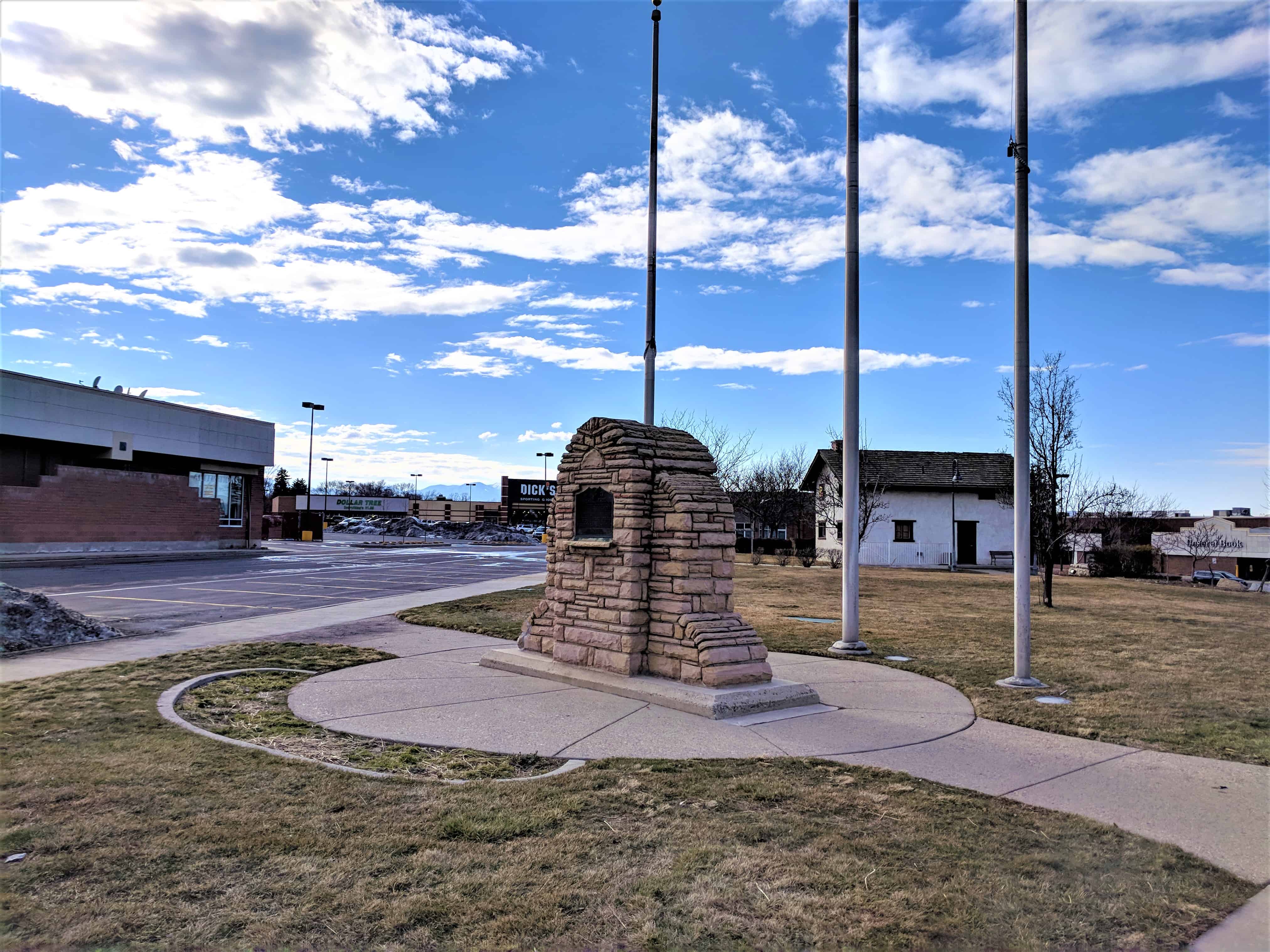
Union Fort

23 Tuesday Dec 2014

Posted by Jacob Barlow in Uncategorized

≈ Leave a comment

Tags

Fort Union, Forts, historic, Salt Lake City, Salt Lake County, SUP, Union Fort, utah

  • 2018-03-11 16.58.17

Union Fort
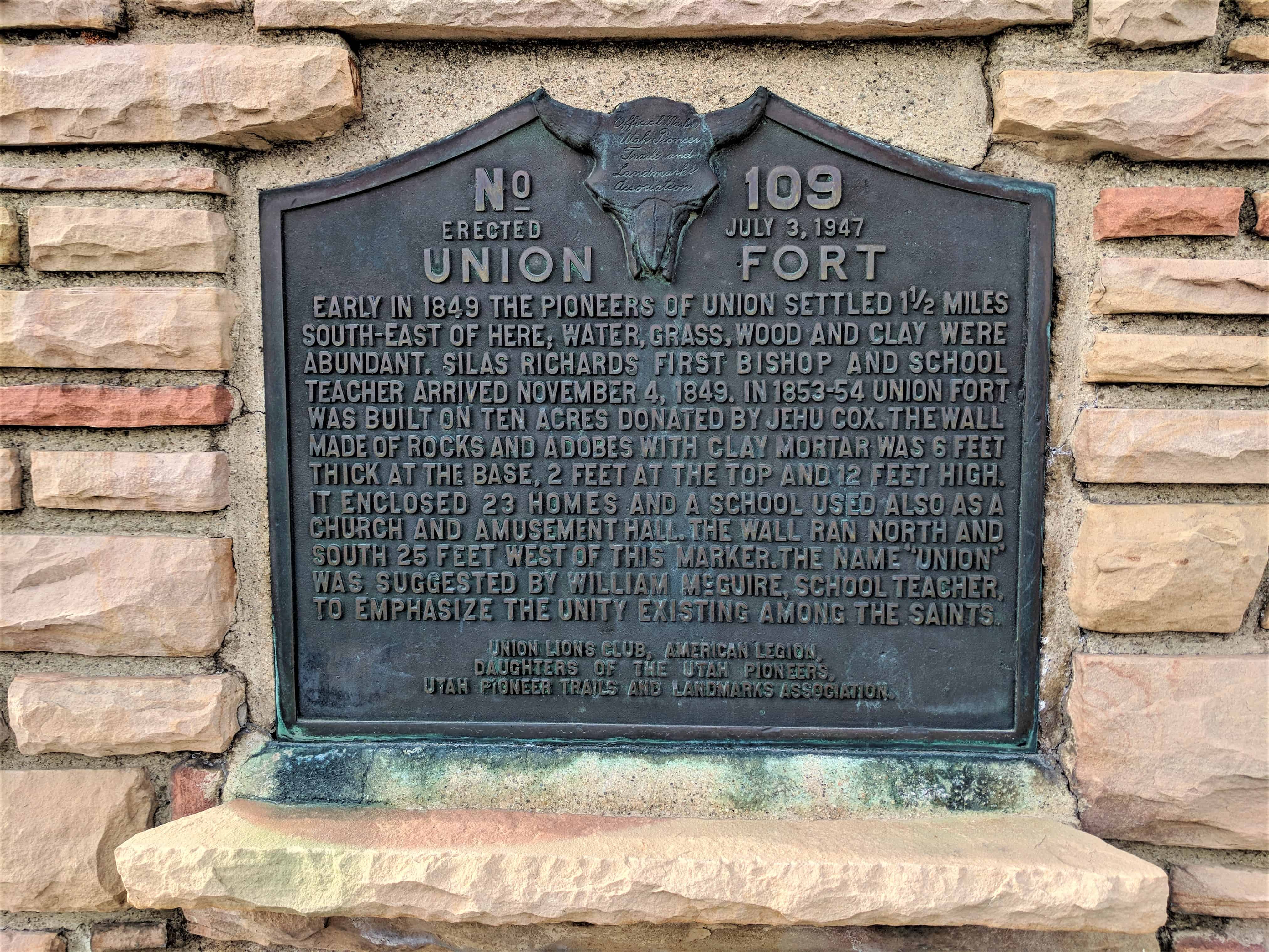
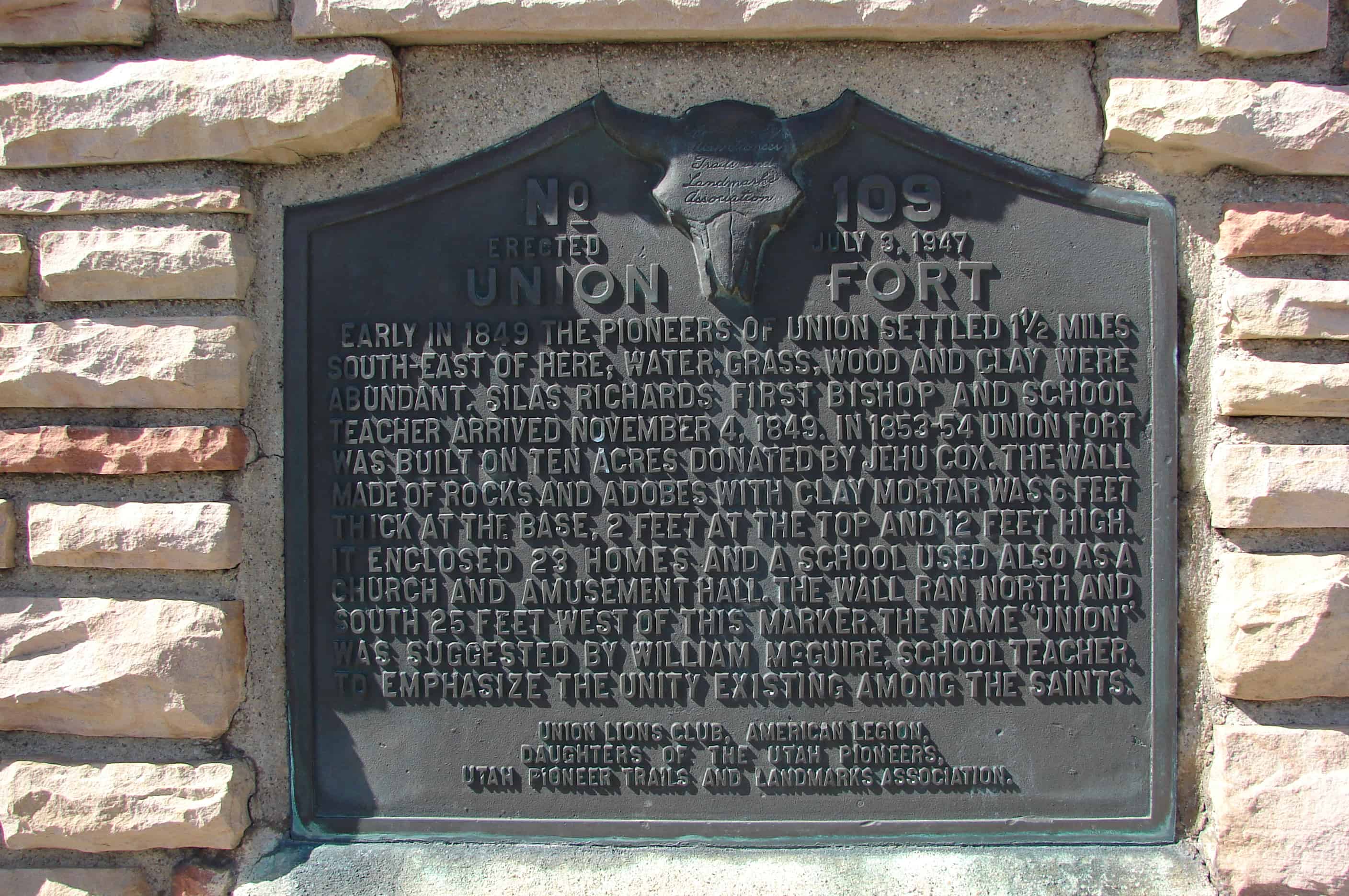
Early in 1849, the pioneers of Union settled 1 1/2 miles south-east of here; water, grass, wood and clay were abundant. Silas Richards first Bishop and school teacher arrived November 4, 1849. In 1853-54 Union Fort was built on ten acres donated by Jehu Cox. The wall made of rocks and adobes with clay mortar was 6 feet thick at the base, 2 feet at the top and 12 feet high. It enclosed 23 homes and a school used also as a church and amusement hall. The wall ran north and south 25 feet west of this marker. The name “Union” was suggested by William McGuire, school teacher to emphasize the unity existing among the Saints.

Located in Midvale, Utah.

See other historic markers in the series on this page for UPTLA/SUP Markers.

  • 2018-03-11 16.58.30
  • 2018-03-11 17.00.07
  • 2018-03-11 16.58.36
  • picture31march08-019
  • picture31march08-018
  • https://newspapers.lib.utah.edu/ark:/87278/s6d51wc1/17334448

Payson Fort Wall

15 Saturday Nov 2014

Posted by Jacob Barlow in Uncategorized

≈ 1 Comment

Tags

Forts, historic, Payson, utah, utah county, Walker War

Several of the towns in Utah started out as forts as protection for the people, many of those have the location of the fort marked, some of those have the location of the corners of the forts marked.  Here are the markers placed to mark where the corners of the Payson Fort was.

The Main Gate:     N 40° 02.629 W 111° 43.774


picture16dec07-033
picture16dec07-034

This road has remained open since 1853.  Just inside was a stagecoach inn & Pony Express station which operated until the telegraph came in 1861.  Alexander Keele, while on voluntary guard duty, was killed on 18 July 1853 by Indians as they left the Fort.

The Southeast Corner: N 40° 02.621 W 111° 43.775


picture16dec07-031
picture16dec07-032

The Fort was 60 rods square with corners built of logs forming a buttress.  Adobe, rock and mud walls stood 8 feet tall.  4 feet wide at the bottom and 2 feet wide at the top on a rock foundation with a deep 4 foot trench around the outside.   It was built during the Walker Indian War 1853-54.

The Southwest Corner: N 40° 02.622 W 111° 44.105


picture16dec07-028
picture16dec07-029
picture16dec07-030

The Northwest Corner: N 40° 02.875 W 111° 44.105


picture16dec07-037
picture16dec07-038

The Northeast Corner: N 40° 02.868 W 111° 43.775


picture16dec07-035
picture16dec07-036

Old Palmyra

02 Wednesday Jul 2014

Posted by Jacob Barlow in Uncategorized

≈ 2 Comments

Tags

DUP, Forts, historic, Palmyra, spanish fork, SUP, utah, utah county

picture7sep07-065

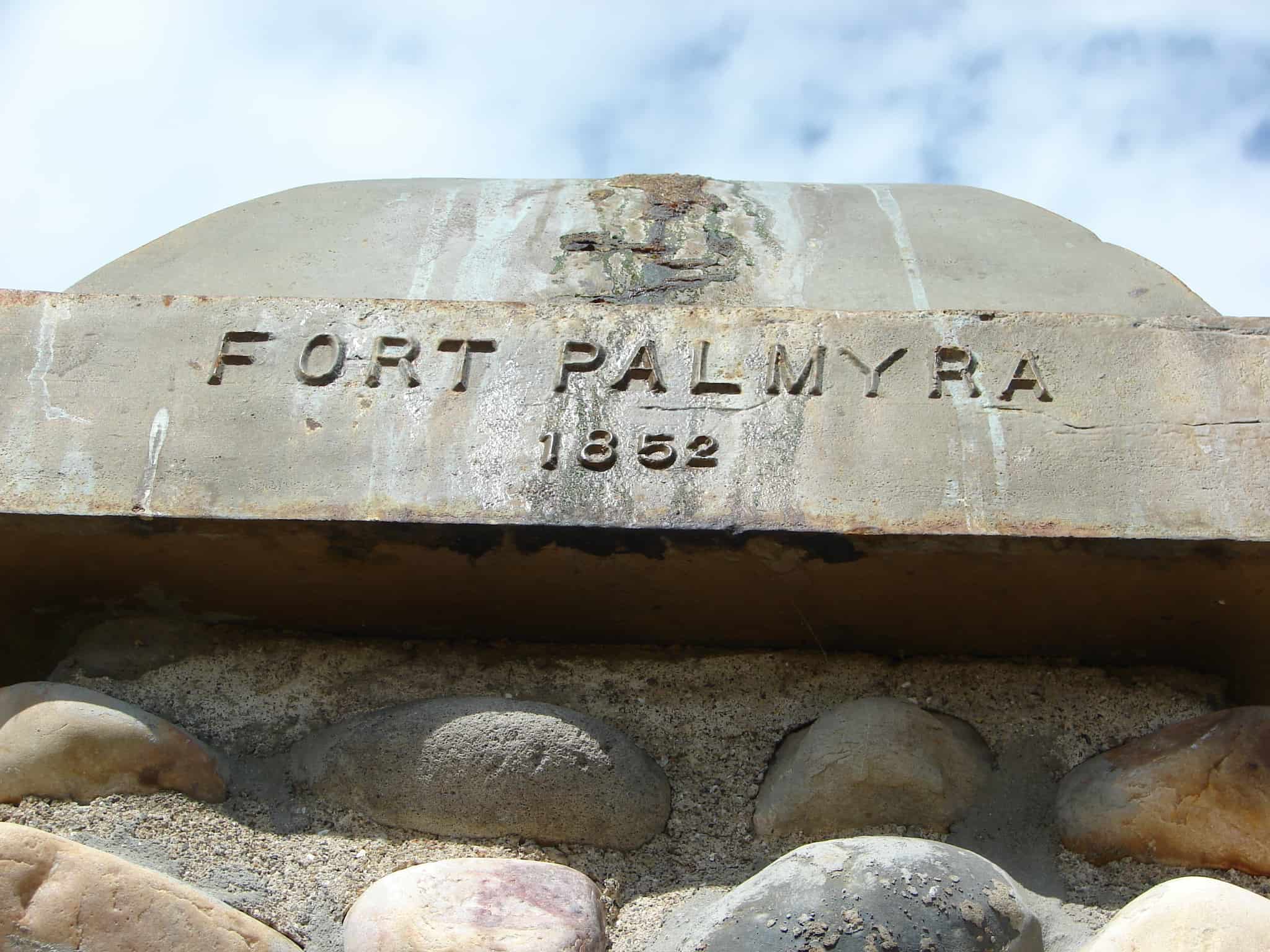
This Monument marks the South-West corner of Fort Palmyra. This Fort was built by the settlers for protection. Palmyra was selected in 1852 as a suitable place to build a city by Apostle Geo. A. Smith. The first home was built in August of that year. W.W. Willis was its first Mayor. The first bishop was Stephen Markam. Silas Hillman was the first school teacher. Upon advice from President Brigham Young, the settlers of Palmyra moved to Spanish Fork, in 1856.

This marker was placed in 1933 and the D.U.P. didn’t start numbering their historic markers until 1934 so it is not in the numbered list.

Related Posts:

  • Fort Palmyra Pioneer Settlement
  • Palmyra, Utah
Picture 018
Picture 019
Picture 020

Mt. Pleasant Fort

07 Saturday Jun 2014

Posted by Jacob Barlow in Uncategorized

≈ 1 Comment

Tags

DUP, Forts, historic, Historic Markers, Mt. Pleasant, Sanpete County, utah

picture24aug07-005

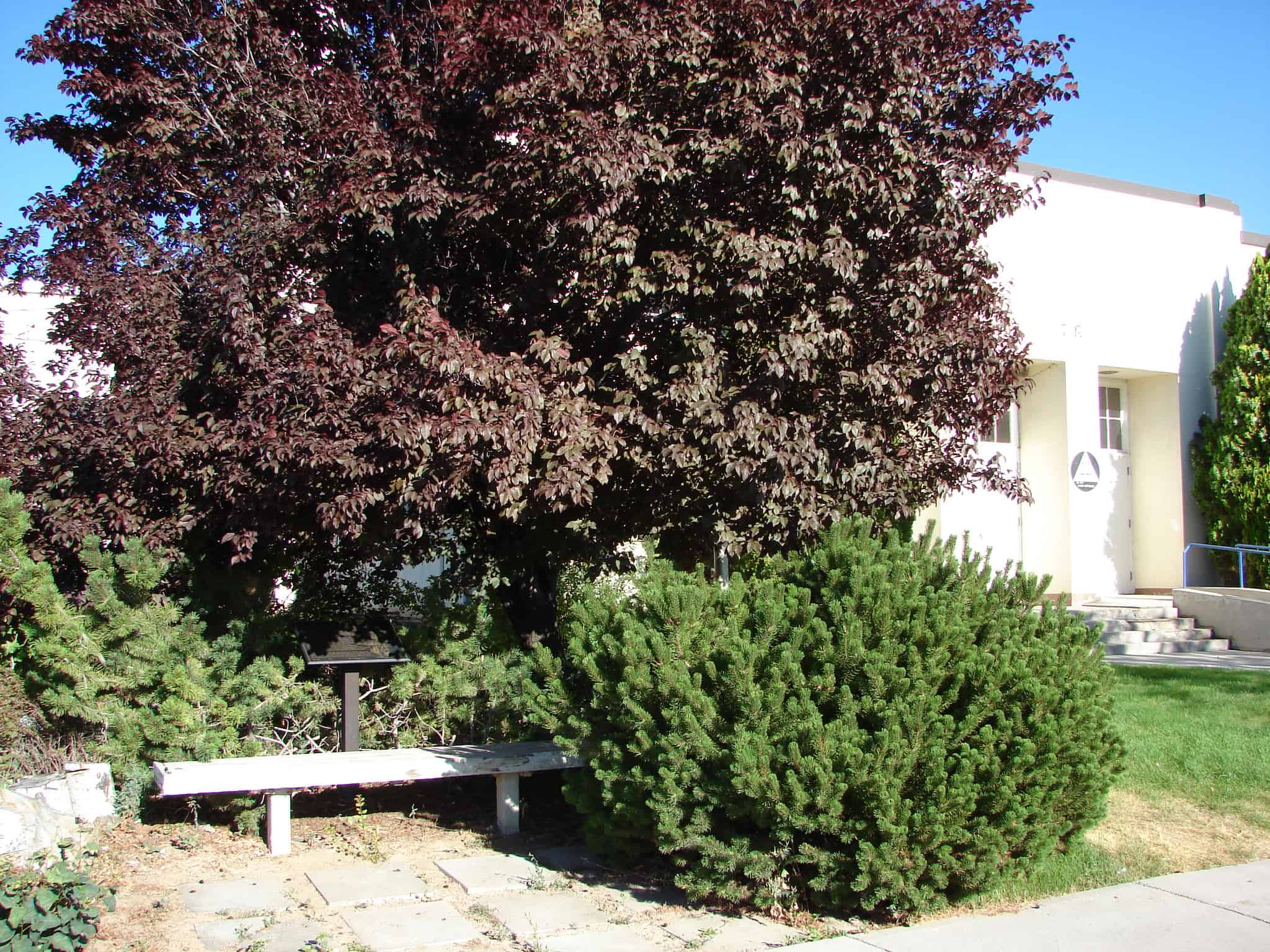
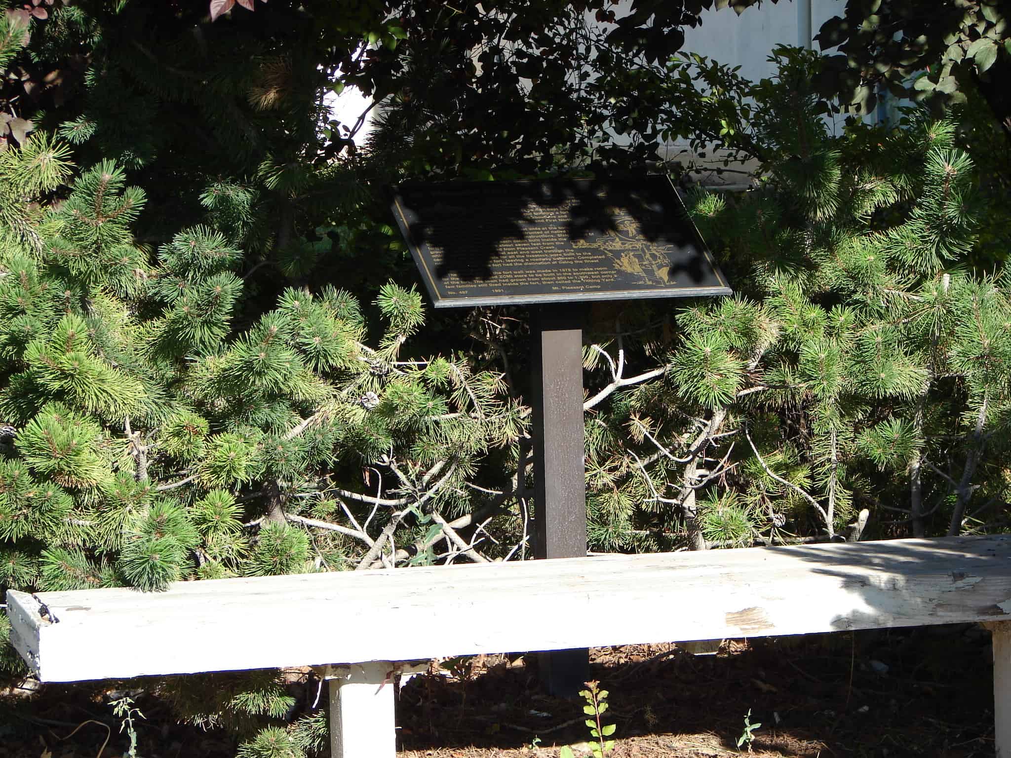
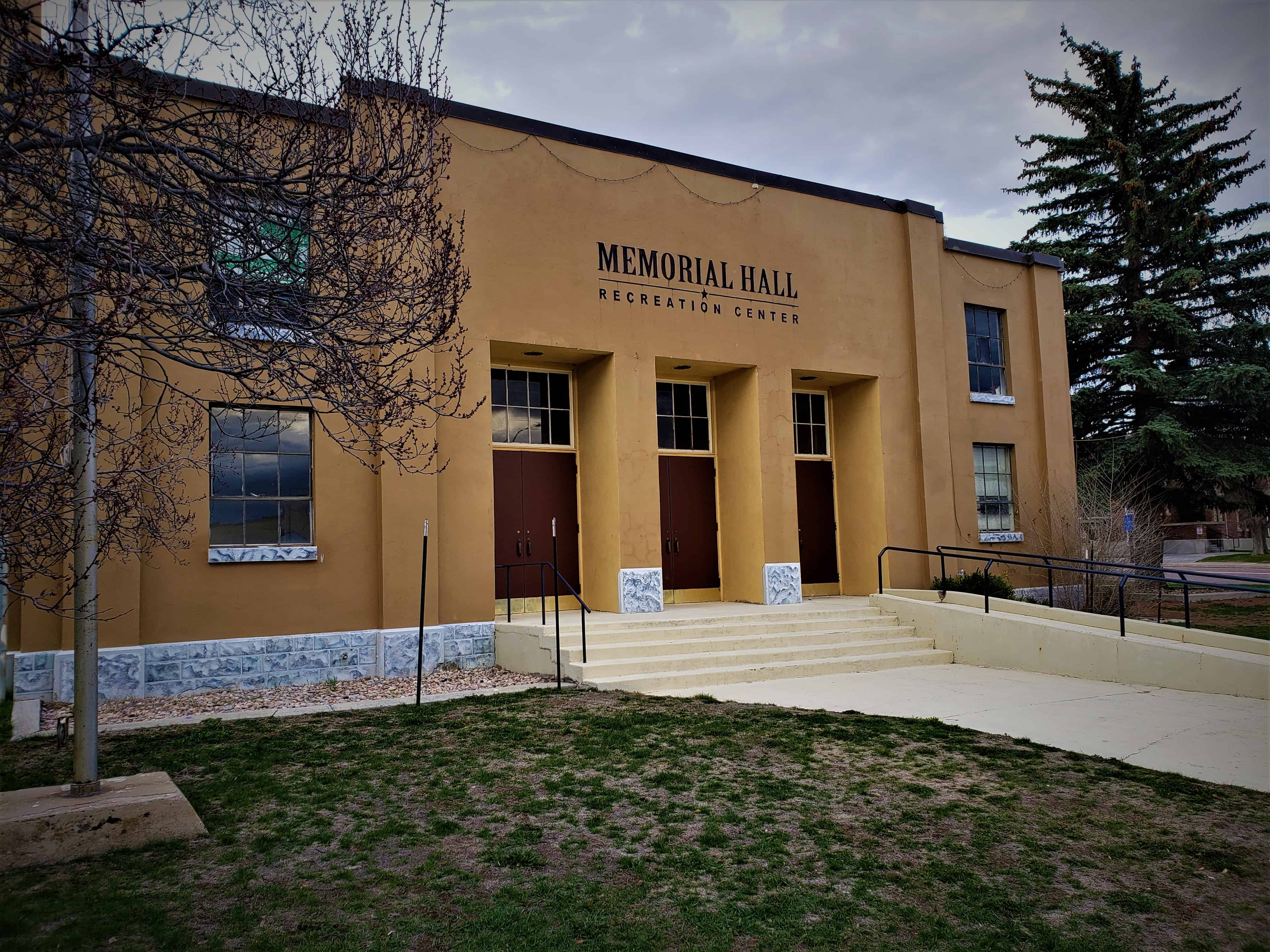
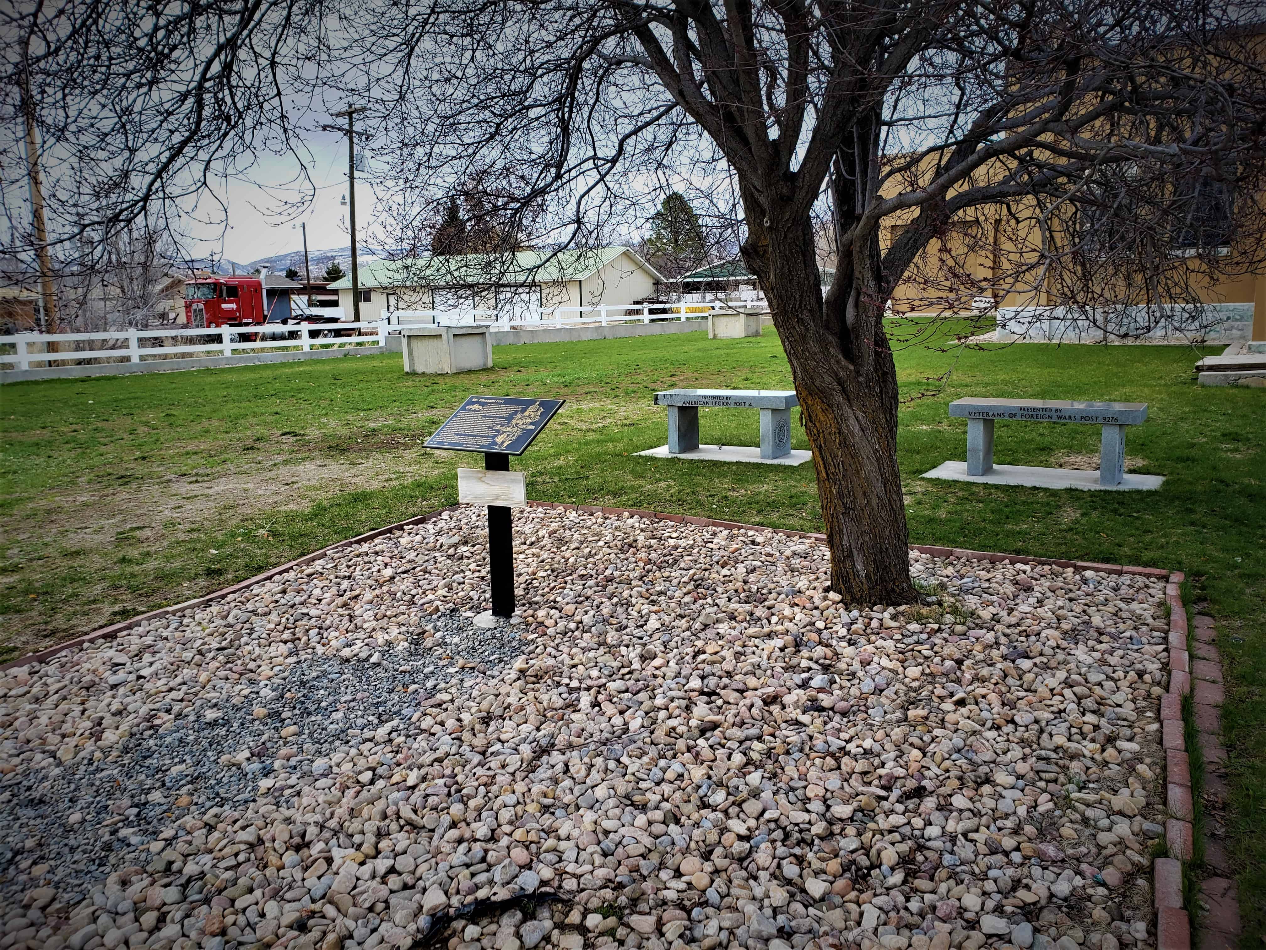
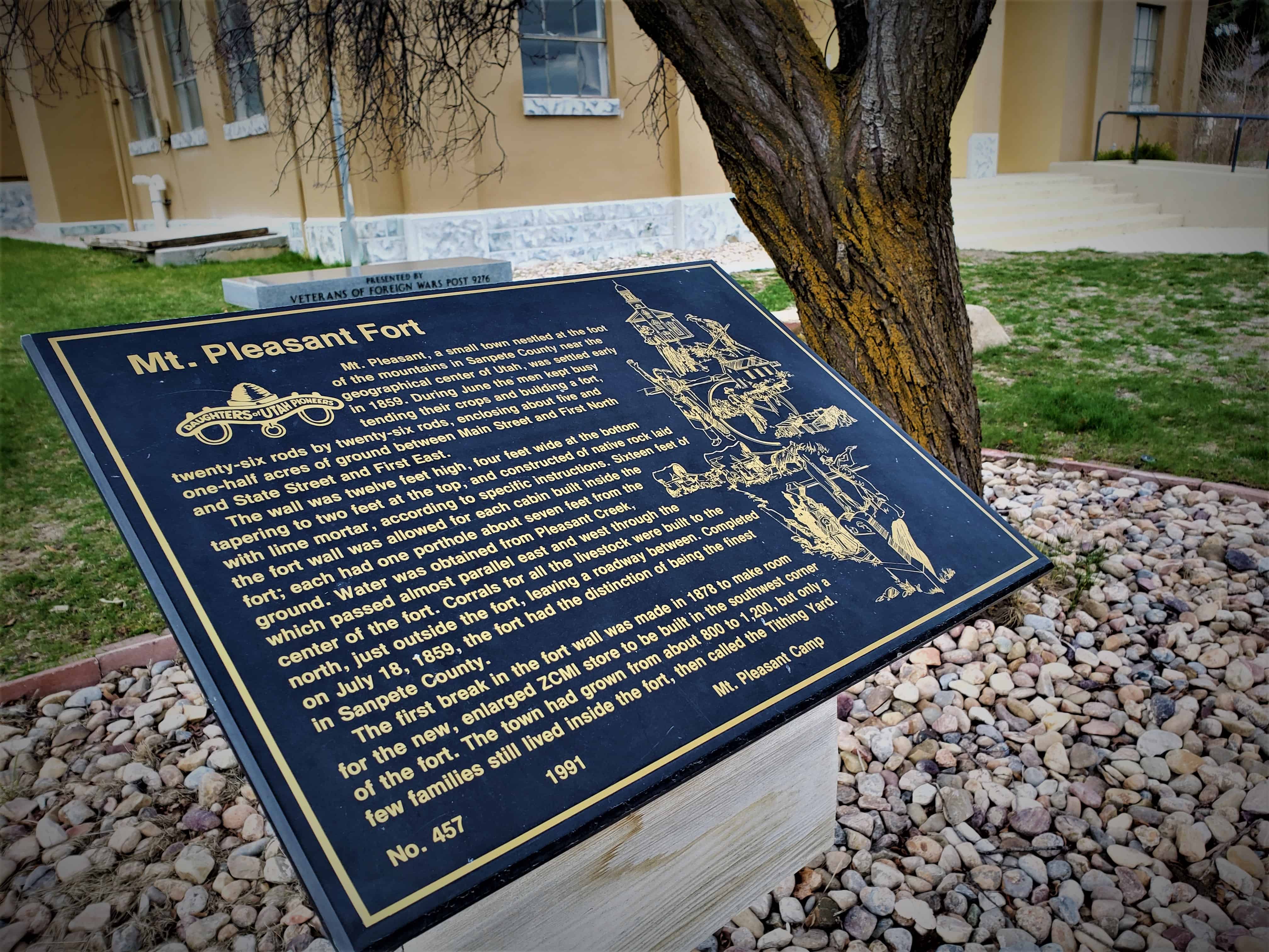
Mt. Pleasant, a small town nestled at the foot of the mountains in Sanpete County near the geographical center of Utah, was settled early in 1859. During June the men kept busy tending their crops and building a fort, twenty-six rods by twenty-six rods, enclosing about five and one-half acres of grounds between Main Street and First North and State Street and First East.

The wall was twelve feet high, four feet wide at the bottom tapering to two feet at the top, and constructed of native rock laid with lime mortar, according to specific instructions. Sixteen feet of the fort wall was allowed for each cabin built inside the fort; each had one porthole about seven feet from the ground. Water was obtained from Pleasant Creek, which passed almost parallel east and west through the center of the fort. Corrals for all the live-stock were built to the north, just outside the fort, leaving a roadway between. Completed on July 18, 1859, the fort had the distinction of being the finest in Sanpete County.

The first break in the fort wall was made in 1878 to make room for the new, enlarged ZCMI store to be built in the southwest corner of the fort. The town had grown from about 800 to 1,200, but only a few families still lived inside the fort, then called the Tithing Yard.

Related Posts:

  • Mt Pleasant, Utah
  • Other D.U.P. Markers

Mt. Pleasant Fort 1859 ~ Sketch by Thomas W. Woodbury and Google ~ Layout by Walter Woodbury

Layton’s Little Fort

06 Friday Jun 2014

Posted by Jacob Barlow in Uncategorized

≈ 1 Comment

Tags

Davis County, DUP, Forts, historic, Layton, utah

The pioneers who settled what is now Layton, Utah, established a fort in 1854-55 on the road then called Little Fort Lane. This road extended from Five Points, north to Little Fort and joined the Kays Creek roads from the east.

In those years the families of Billa Dickson, John Green, William Lindsey, Mark and Pratt Whitesides, and the Shipley and Croft families, lived in “The Little Fort.” It was given this name because a large fort had already been established in the center of Kaysville.

This little fort, to protect the people from the Indians, was built on the south bank of Kays Creek overlooking the sandridge road from the Morris Town Hill. The fort served mainly as a lookout point on the Indian camp area. Friendly Indians lived along the hollow.

Little Fort was built in the shape of a square with the houses forming the outside walls which were built of rock, dried mud and mortar. Vegetable gardens which provided necessary food were raised in the center court of this fort and were tended for several years after the fort was abandoned. One cabin that was moved from Little Fort can still be found at 400 North Fort Lane, near the Layton High School. This cabin had a single room and a saddle-notched construction.

Located at Layton Commons Park at 437 N Wasatch Drive in Layton, Utah

Image
(the previous location, same park, farther north)
Image

Fort Buena Ventura

05 Thursday Jun 2014

Posted by Jacob Barlow in Uncategorized

≈ 2 Comments

Tags

DUP, Forts, historic, Ogden, utah, Weber County

picture13nov07-044

Soon after arrival of the ’47 Pioneers, Capt. James Brown, who was on his way to California, visited Fort Buena Ventura, located 1290 feet S.E. of this site belonging to Miles Goodyear, whom the original pioneers had met near Bear Lake. The area consisted of a stockade enclosing a few log houses and sheds, a herd of cattle, horses, goats and a garden. Upon his return Capt. Brown purchased Goodyear’s holdings with money received as wages for the Mormon Battalion. The name was changed to Brown’s Fort, Brownville, and later “Ogden“.

picture13nov07-043

Check out all of the historic markers placed by the Daughters of Utah Pioneers at JacobBarlow. com/dup

Hamilton Fort

05 Thursday Jun 2014

Posted by Jacob Barlow in Uncategorized

≈ 1 Comment

Tags

Cedar City, DUP, Forts, historic, Historic Markers, Iron County, utah

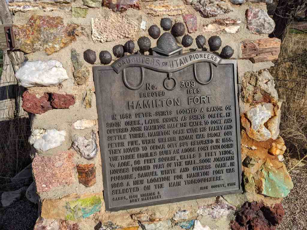
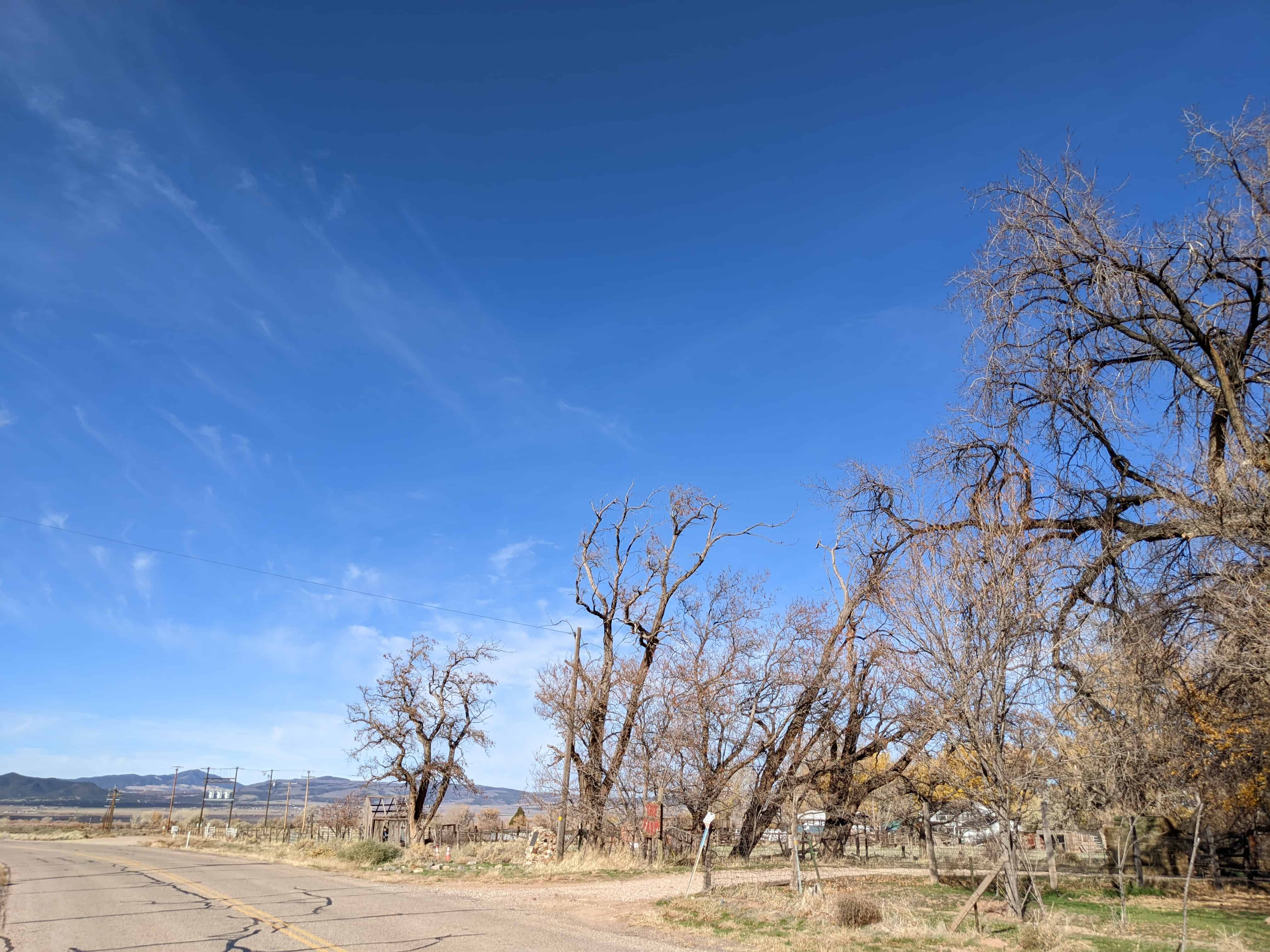
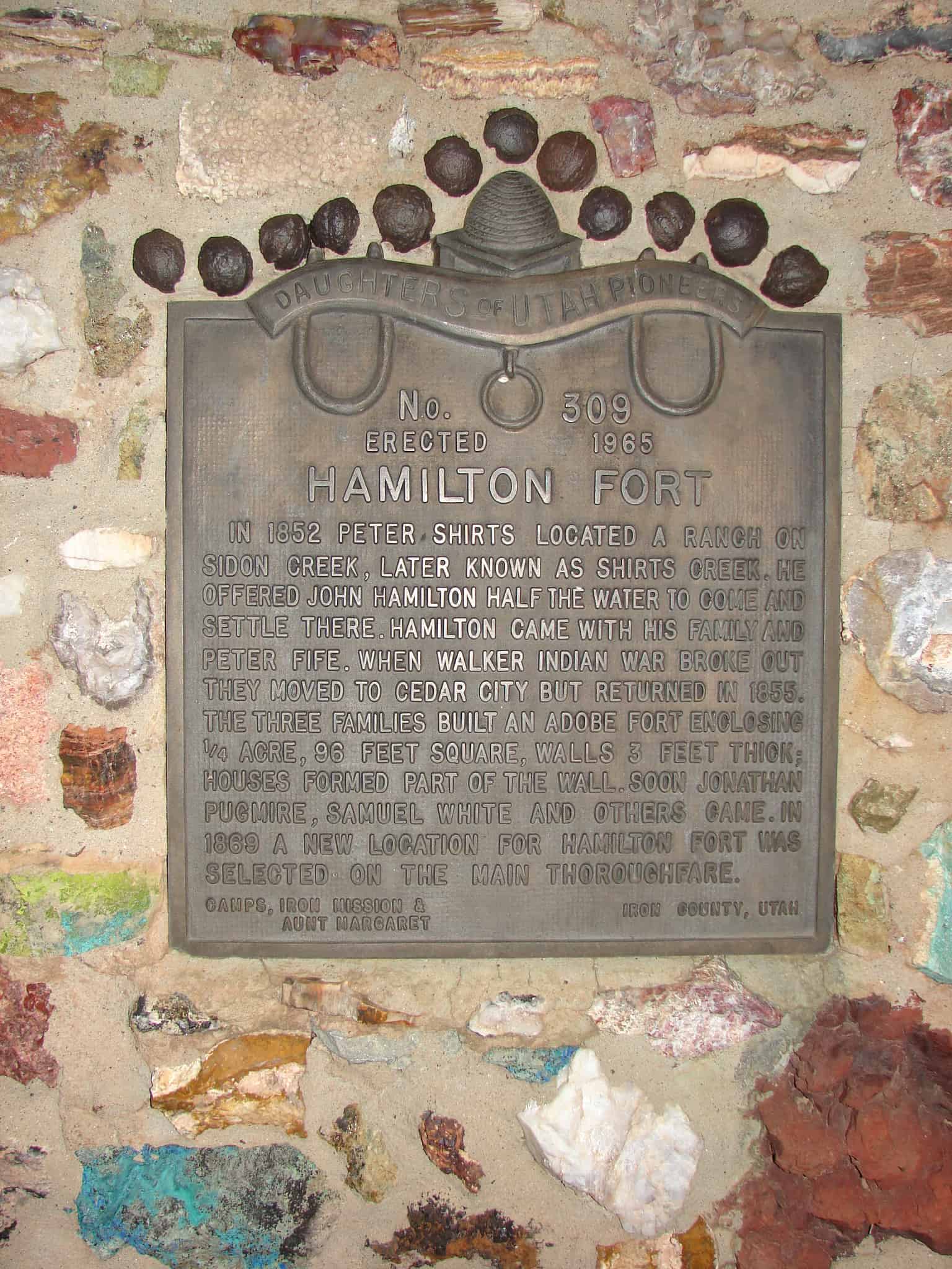
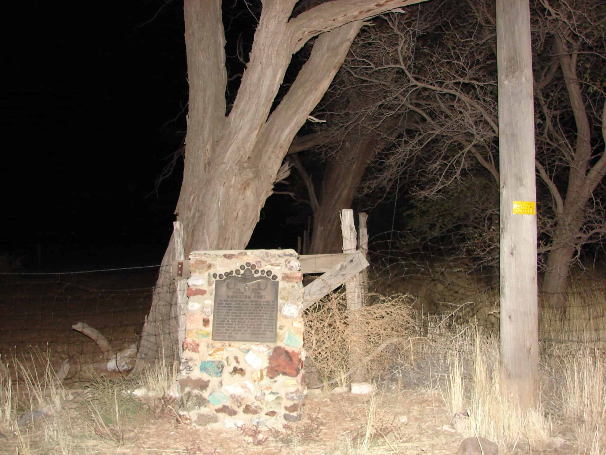
In 1852 Peter Shirts located a ranch on Sidon Creek, later known as Shirts Creek. He offered John Hamilton half the water to come and settle there. Hamilton came with his family and Peter Fife. When Walker Indian War broke out they moved to Cedar City but returned in 1855. The three families built an adobe fort enclosing one-fourth acre, 95 feet square, walls three feet thick; houses formed part of wall. Soon Jonathan Pugmire, Samuel White and others came. In 1869 a new location for Hamilton Fort was selected on the main thoroughfare.

Located on old Highway 91 at approximately 3700 West 2700 South in Cedar City, Utah

Related:

  • Other DUP Markers
  • Pioneer Forts
picture13oct07-015
picture13oct07-016
← Older posts
Newer posts →

Follow Jacob

Follow Jacob

Come wander with me on Youtube.

Blog Stats

  • 2,225,954 hits

Social and Other Links

BarlowLinks.com

Recent Posts

  • Weber State W
  • Brigham Young and Elsa Maria Jessen Lee Home
  • 231 S 100 E
  • 222 S 100 E
  • Nancy Elizabeth Winchester Proctor Home

Archives

Loading Comments...