Near this spot in 1865 a rock fort was built as a protection from Indians. It was a cooperative project. Each man who owned a city lot built one rod of the wall which was 3 l/2 feet at base, 12 feet high, 1 foot at top. There were portholes at intervals, wooden gates on east side. Men stood guard at all times. They gave signals, using a white flag by day and a drum by night. After 1878 the bell atop this monument hung in Academy Hall. It rang for church, school, and other occasions.
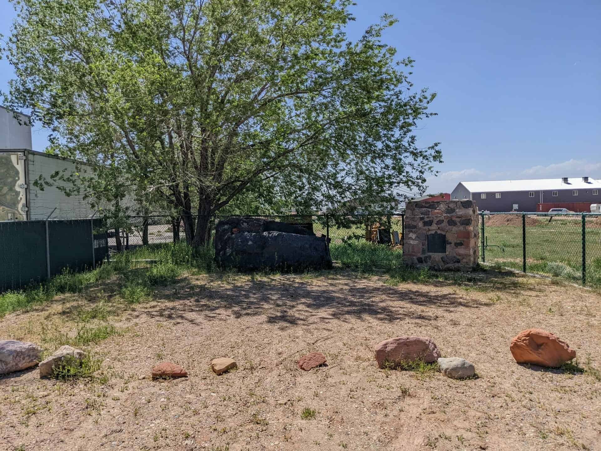
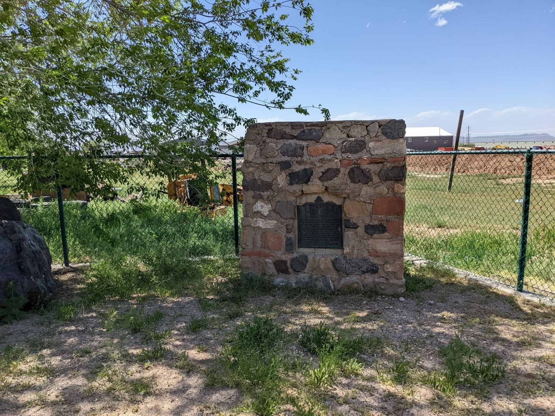
SUP #60: This 20,000 lb. block of iron ore was formerly located five miles west of Cedar City and listed as “Iron Mines” monument by the SUP. The SUP moved the iron ore, rebuilt the monument beside it upon which the DUP plaque #222 is mounted at this current site, which was the location of the old Cedar Iron Mission Fort. The block of iron ore has no plaque.
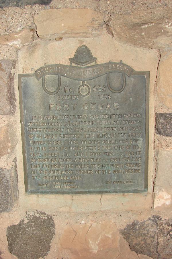
DUP #222: In November 1851, thirty-five men from Parowan settled Cedar City. A unique temporary encampment, composed of their wagon boxes and sage brush walls, sheltered them through the first winter. In 1853, a fort 100 rods square was built on this site. Its walls were 3 feet wide at the base, nine feet high and one foot wide on top. It covered 63 acres of ground. A city plat of 120 lots was laid out inside the walls. This monument stands on the south west corner of the fort, beside the John D. Lee Gate.
Original DUP plaque #222, on rebuilt monument #60 by SUP Cedar City Chapter 1992
In 1865 a fort was erected one mile and a quarter north from this spot, on the west bank of the Spanish Fork River. It was a square and covered one acre of ground. The walls were four feet thick at the base and tapered to about two and a half feet at the top. It was nine feet high with a porthole in each corner. It first served as a resting place for travelers and a refuge from the Indians. In later years Thomas Draper made a dugout inside the fort and lived there with his family.
Check out all of the historic markers placed by the Daughters of Utah Pioneers at JacobBarlow. com/dup
Near this spot February 7, 1854, twenty-five men organized in military order, began the construction of a small fort for protection from the Indians. The walls, made of rock were seven feet high, almost two feet thick, and formed the outer wall of the homes of thirty-nine families. The fort enclosed one and one-half acres of land with a gate at the west side, a Post Office in the south, and Tithing Office in the northwest corner. It was completed in March 1854.
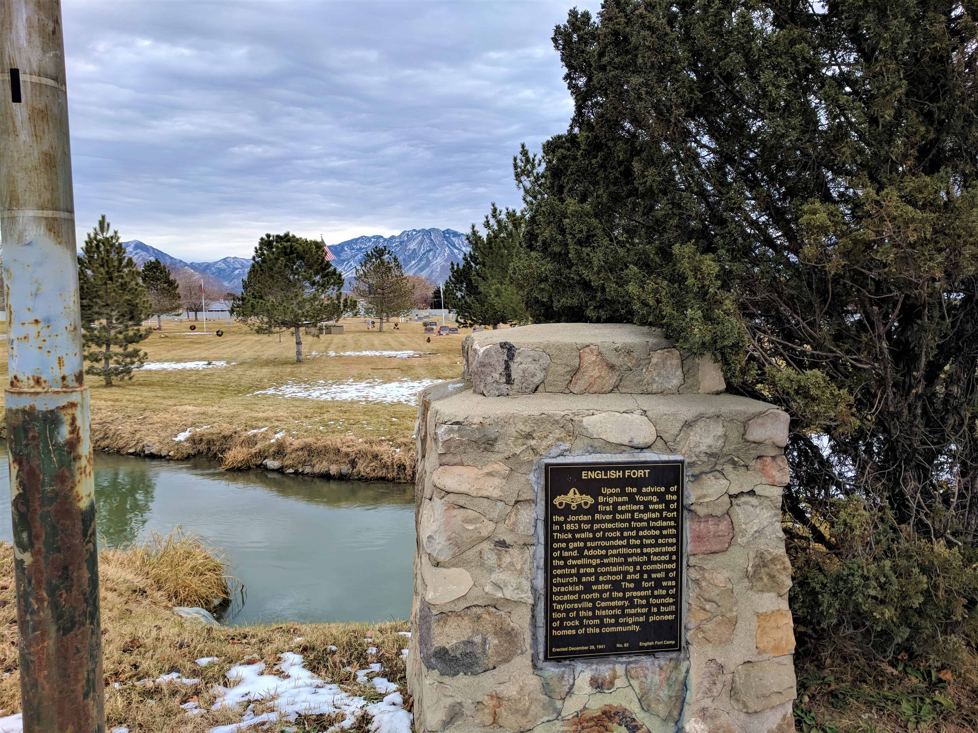
In 1853 the settlers west of the Jordan River were advised by President Brigham Young to build a fort, to protect them from Indians. Thick walls of rock and adobe, with one gate surrounded two acres of land. Adobe partitions separated dwellings that faced a central area containing a combined church and school and a well of brackish water. The fort was located north of the present site of Taylorsville Cemetery. The foundation of this marker is built of rock from pioneer homes of this community.
Above: The historic marker that was there from 1941 until at least 2007 when I took the photos.
Below: I returned in 2017 and the plaque is replaced with a new look and slightly rearranged wording.
Upon the advice of Brigham Young, the first settlers west of the Jordan River built English Fort in 1853 for protection from Indians. Thick walls of rock and adobe with one gate surrounded the two acres of land. Adobe partitions separated the dwellings within which faced a central area containing a combined church and school and a well of brackish water. The fort was located north of the present site of Taylorsville Cemetery. The foundation of this historic marker is built of rock from the original pioneer homes of this community.
Check out all of the historic markers placed by the Daughters of Utah Pioneers at JacobBarlow. com/dup
In 1855 Pres. Brigham Young appointed a company of men under the leadership of William Bringhurst to establish a colony at Las Vegas. The company left Salt Lake May 10 and arrived at Las Vegas June 14, 1855 and camped near this site. William Bringhurst was appointed President. Wm. S. Covert and Ira S. Miles, counselors. Sunday, June 17 they built a bowery and held their first religious services. The next day they began to build the fort, 150 feet square, with walls 14 feet high, 2 feet wide at base and 1 foot at top.
In 1851 David Fairbanks and David Crockett located land adjacent to a small stream at the head of Salem Lake and built a dam. In 1856 Eli Ashcraft, Royal Durfey, Silas Hillman, Acquilla Hopper, Jacob Killian, Truman Tryon and their families settled Pond Town and began the fort for protection against Indians. The fort was 160 feet north and south and 150 feet east and west. Robert David and Thomas Killian arrived later in the same year. The name of Pond Town was changed to Salem (the City of Peace) by Lyman Curtis.
The text above is from Daughters of Utah Pioneers historic marker #36, located at Salem Pond at 99 South 300 West in Salem, Utah
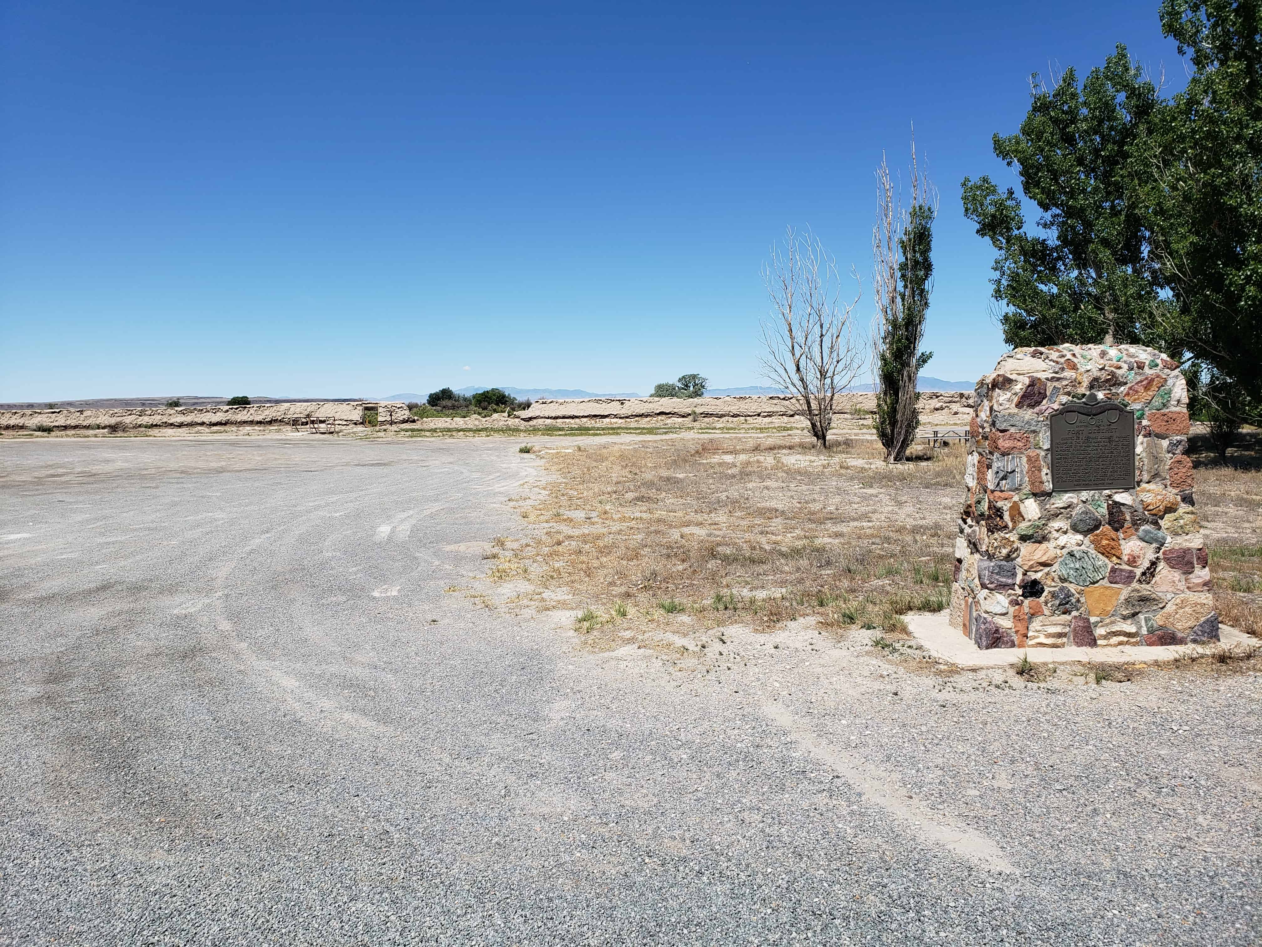
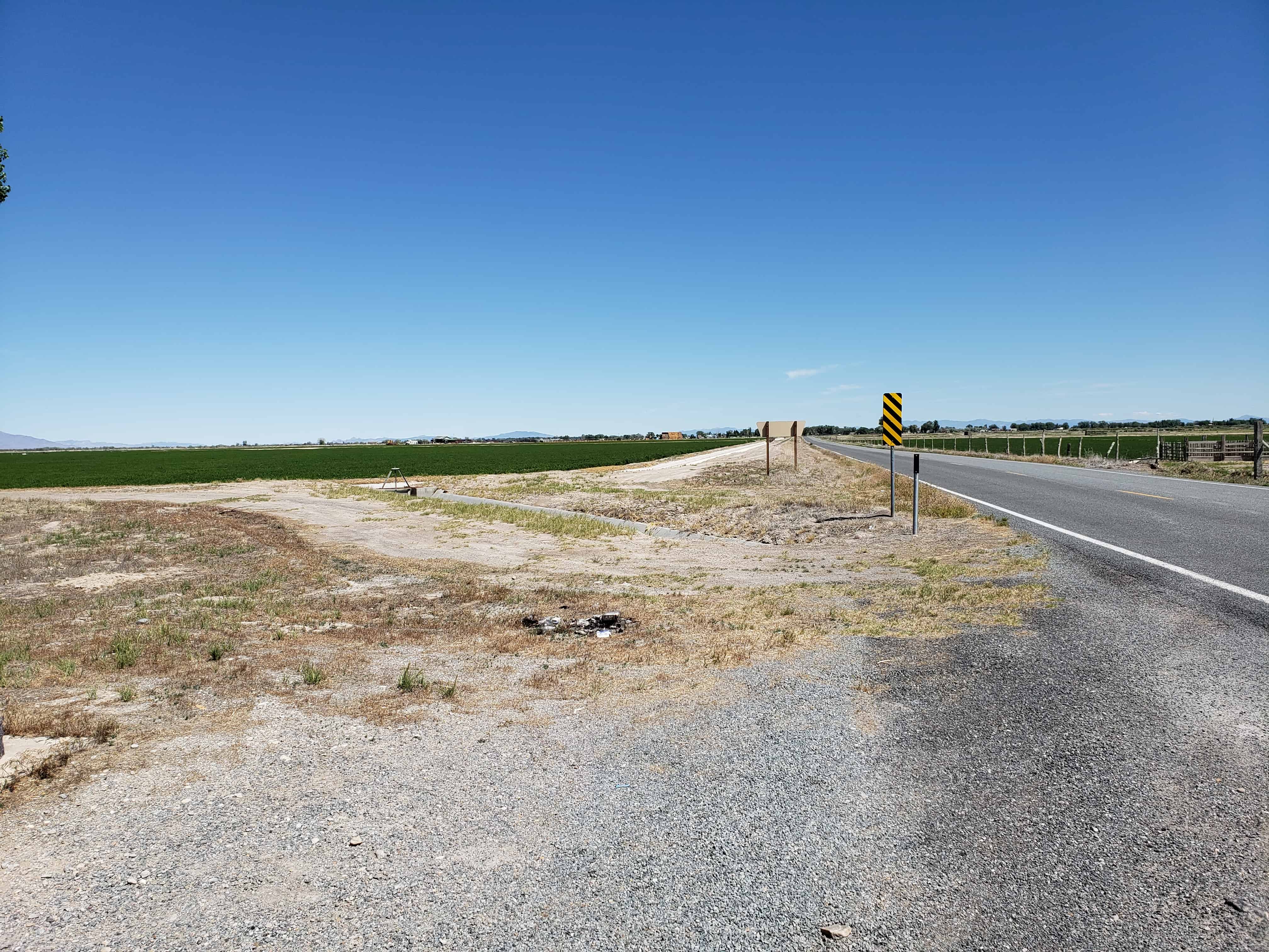
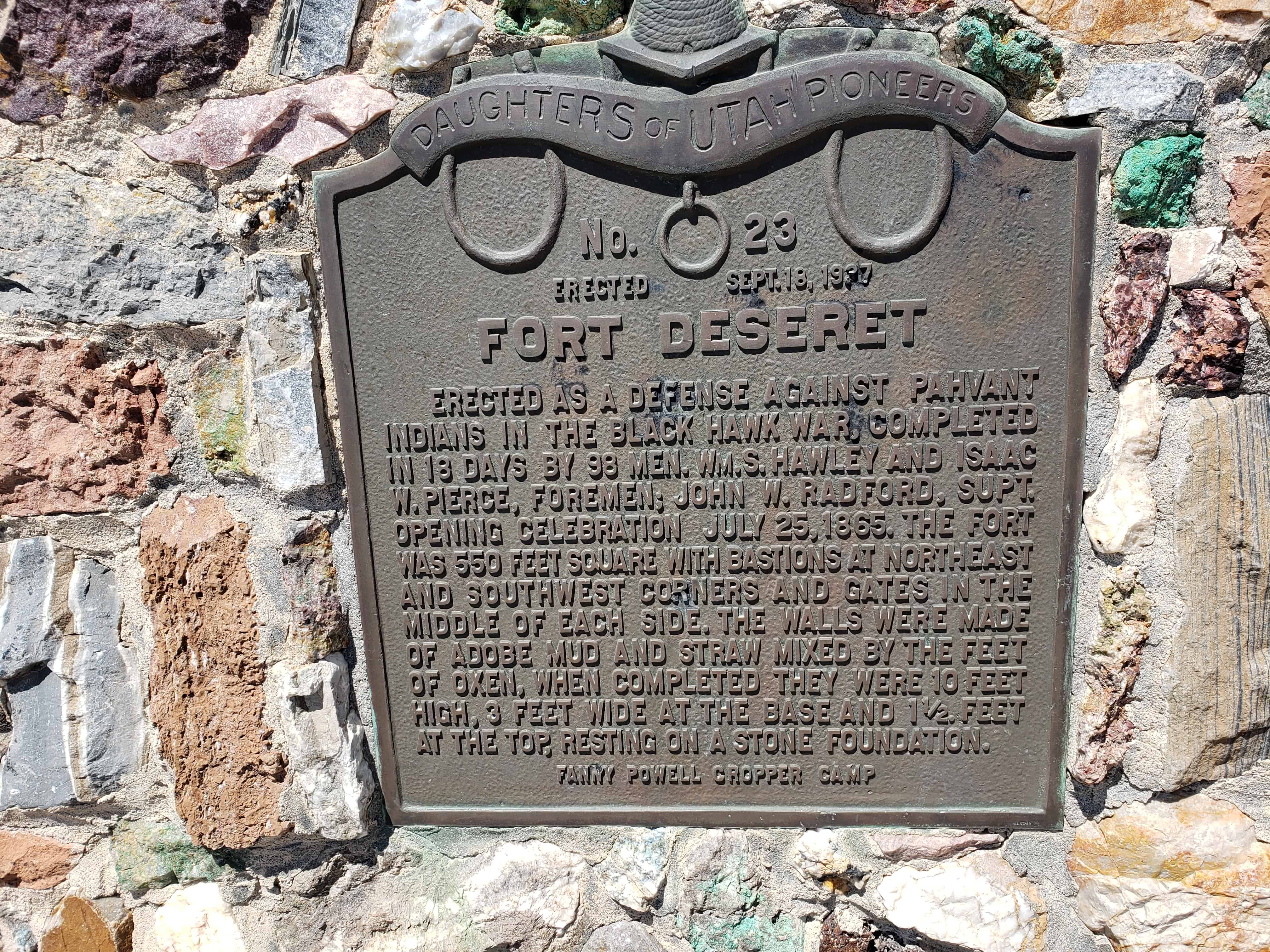
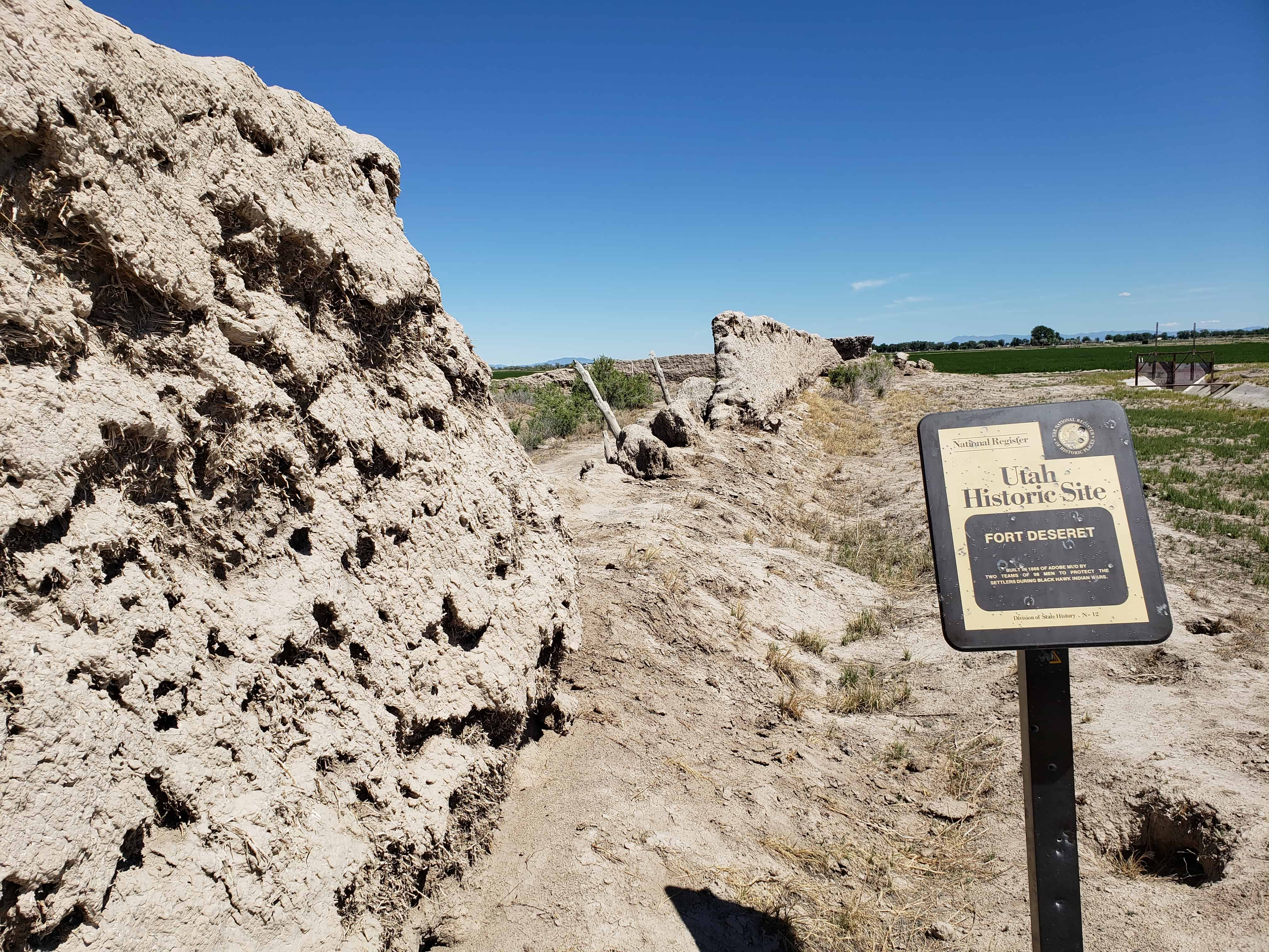
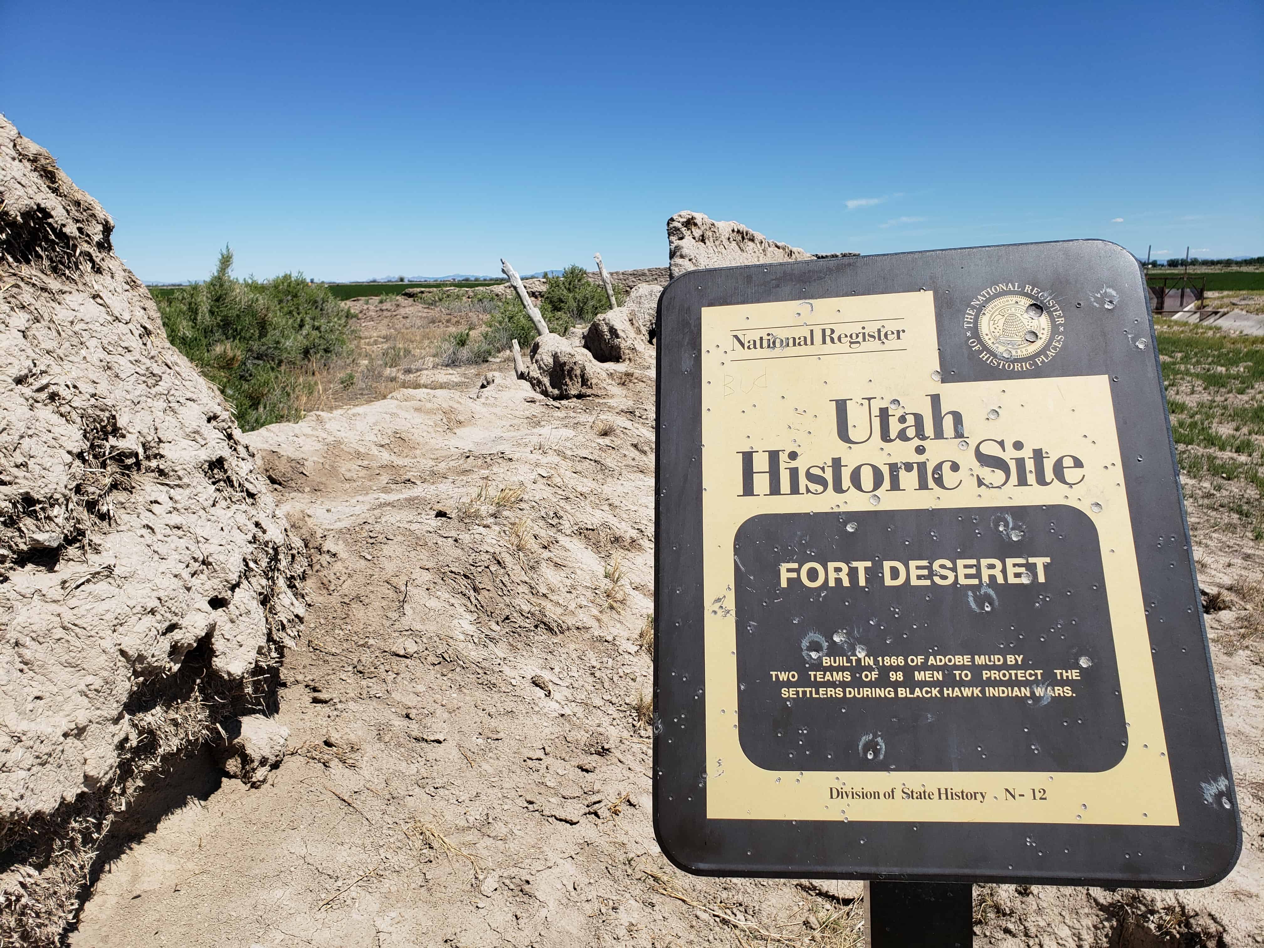
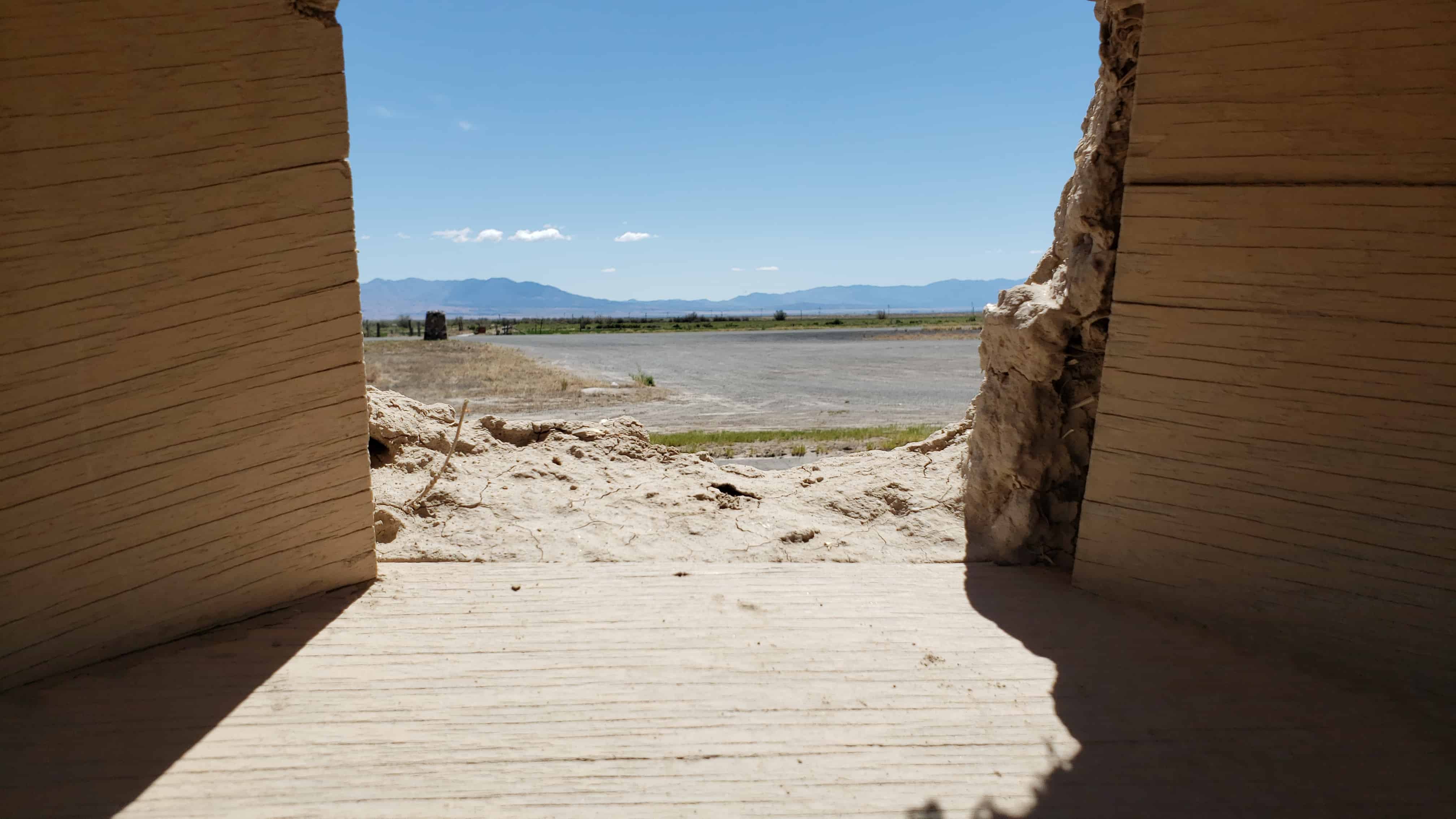
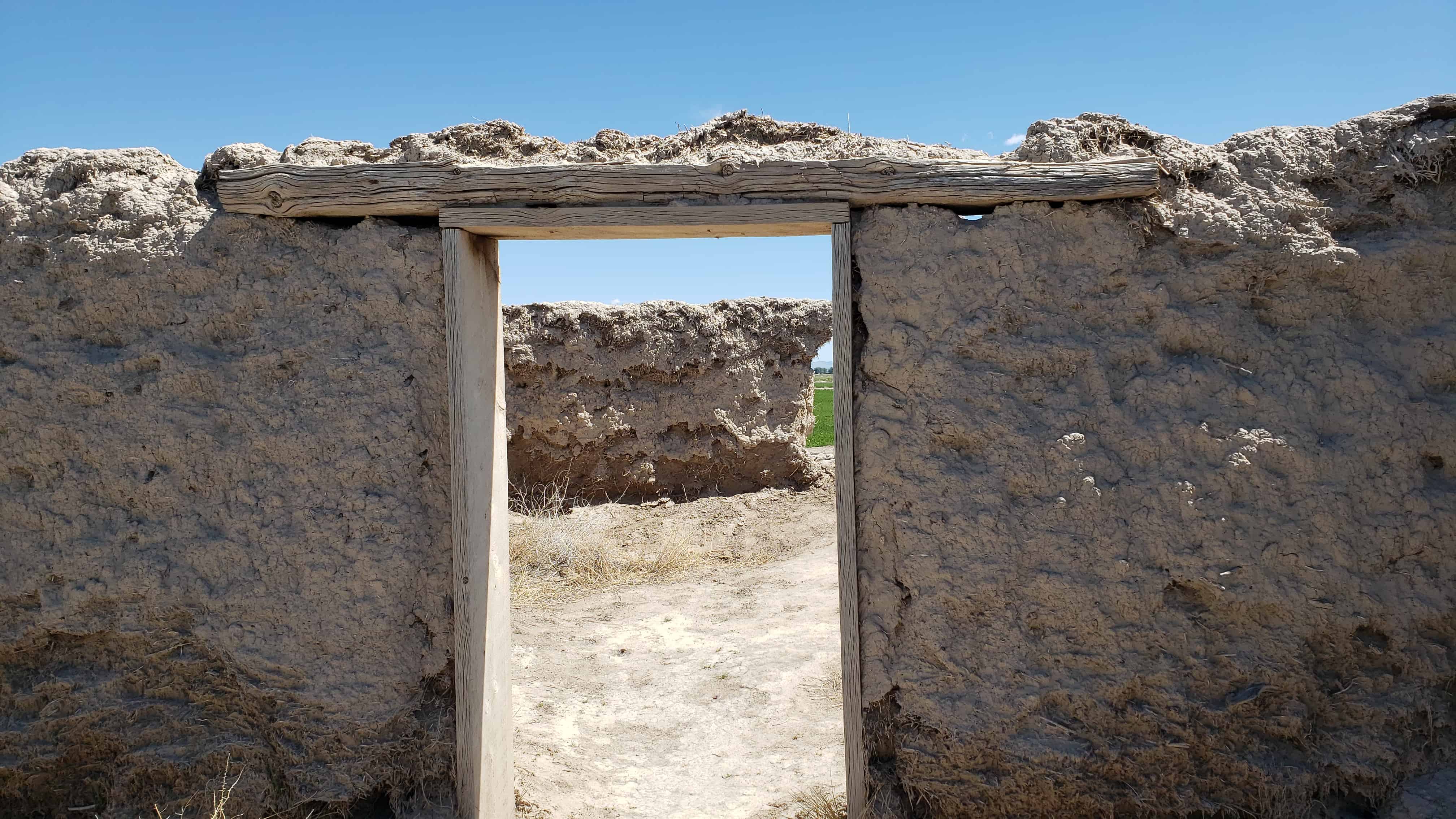
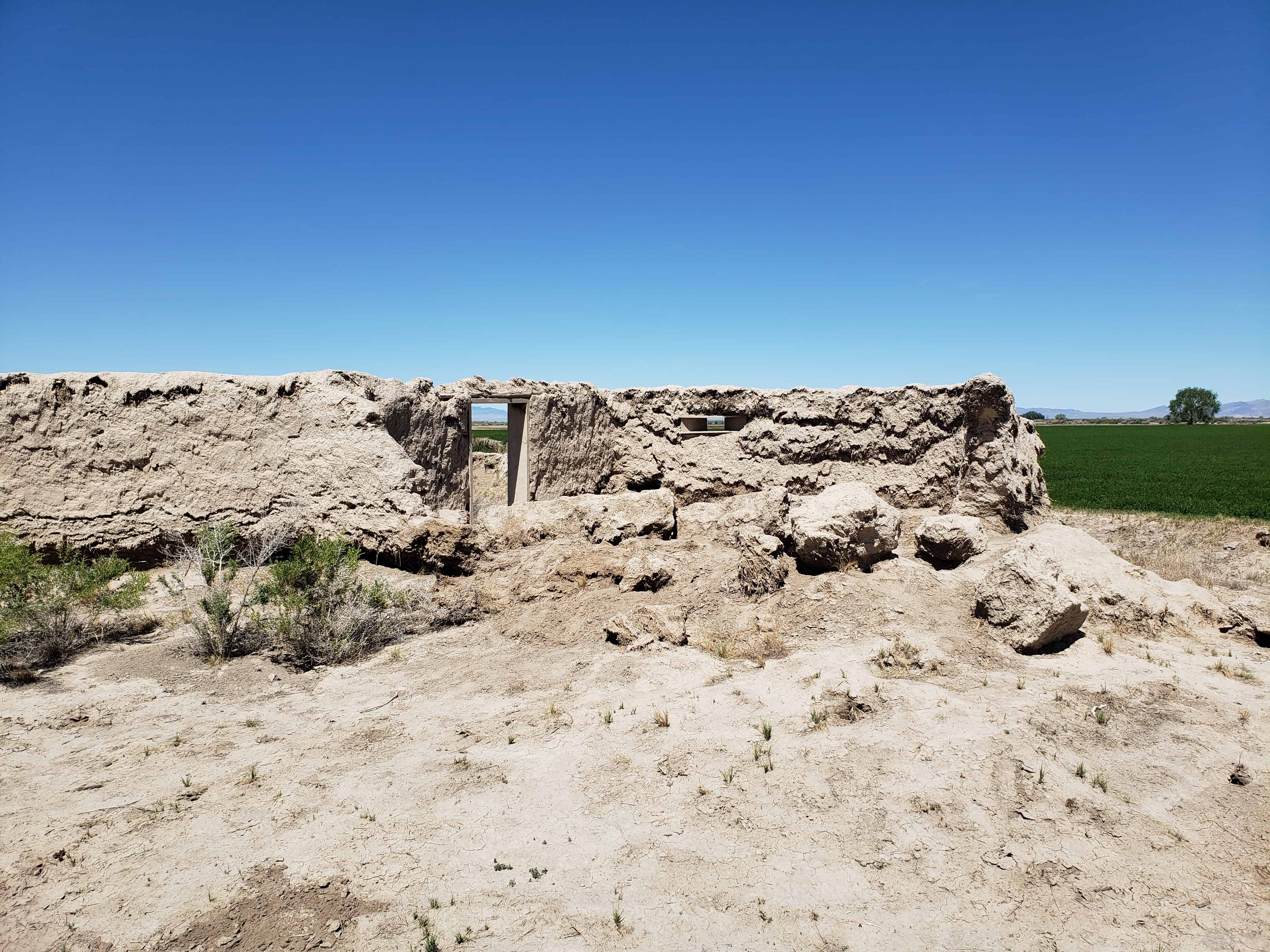
Erected as a defense against Pahvant Indians in the Black Hawk War, completed in 18 days by 98 men. Wm. S. Hawley and Isaac W. Pierce, foremen; John W. Radford, Supt. Opening celebration July 25, 1865. The fort was 550 feet square, bastions at Northeast and Southwest corners and gates in the middle of each wall. Made of adobe mud and straw mixed by the feet of oxen, when completed were 10 feet high, 3 feet wide at base and 1 1/2 feet at top, resting only on a stone foundation.
The below text is from the nomination form from when the fort was added to the National Historic Register (#70000624) on October 9, 1970.
The first white settlers reached the lower drainages of the Sevier River, Pahvant Valley, in 1860, and established the community of Deseret, By 1865 they were fairly well established. With the Indian unrest of the Blackhawk war, Brigham Young advised all outlying Mormon settlements to “fort up.” His mandate was reinforced by the early summer visit of Bishop Thomas Callister and Apostle Amasa M. Lyman, Immediately the community set about building a fort, with John W. Radford in charge.
Men with teams were organized to haul lava rock from across the valley to the west and lay the four-foot wide footings. To build the walls themselves, the men divided into two groups, led by William S. Hawley and Isaac W. Pierce, Each team was to build half the wall, with the winning team to be given a party by the losers.
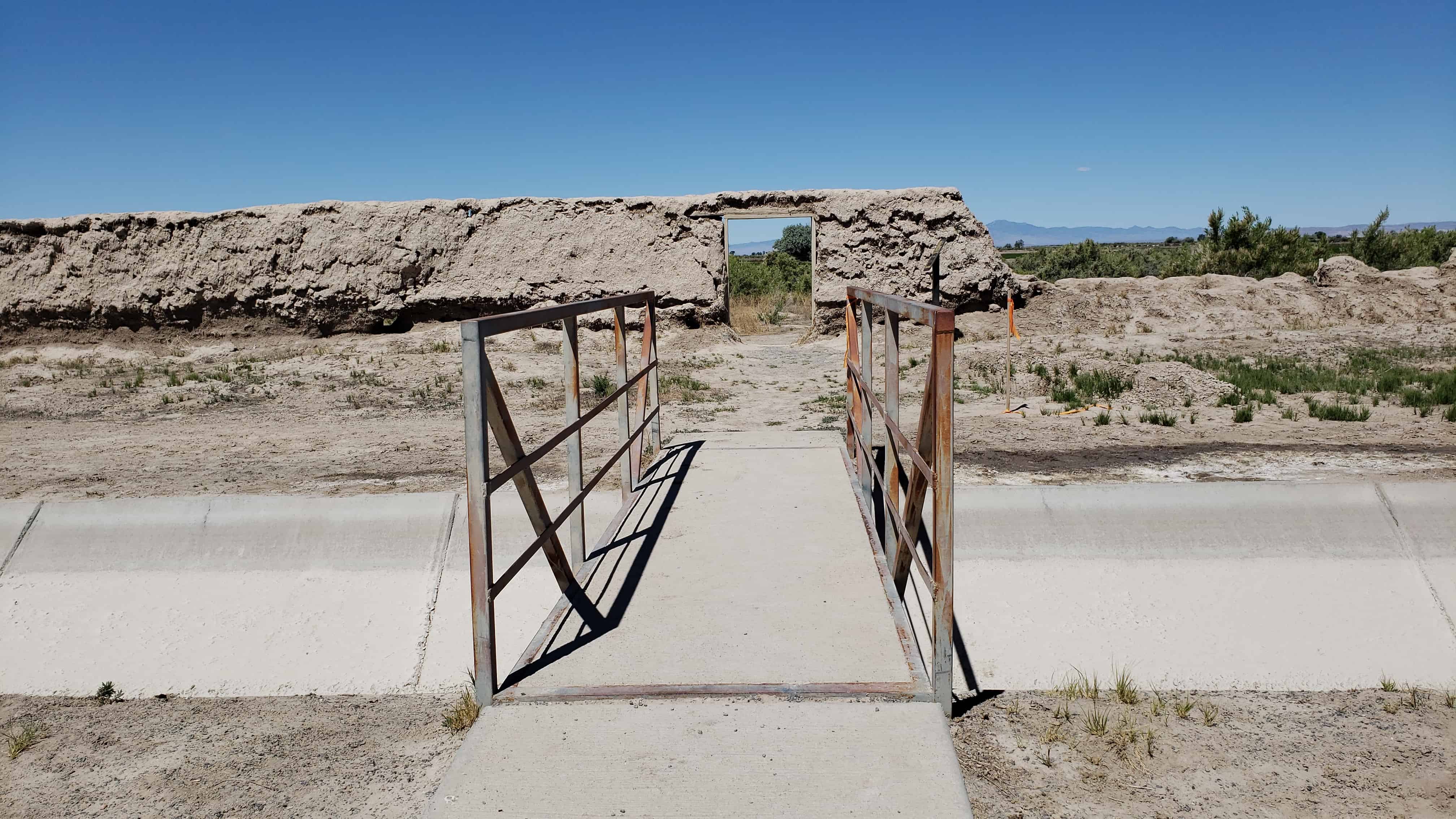
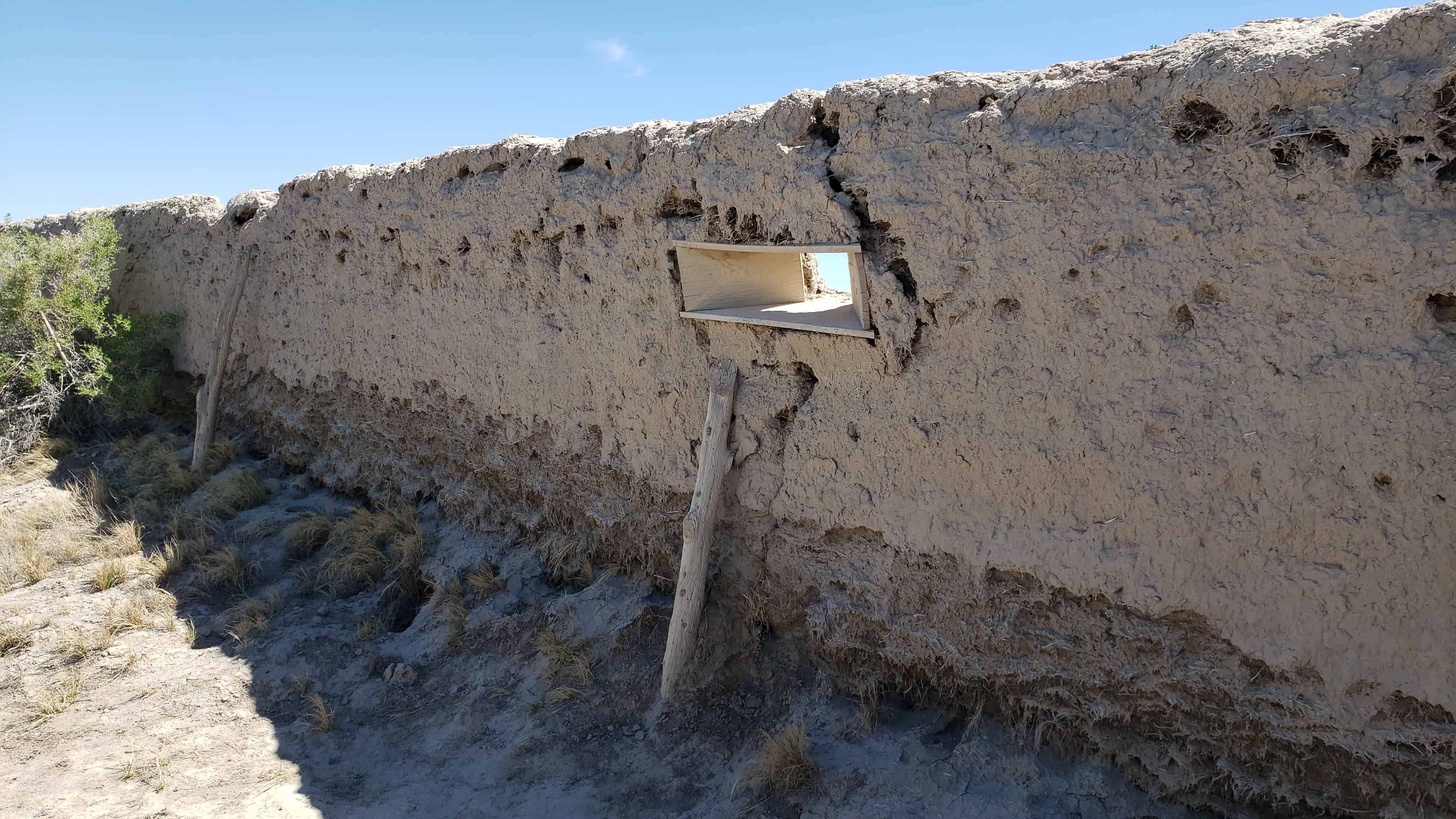
The walls were constructed of adobe mud made by running water into trenches into which dirt and straw were thrown and then mixed by having oxen tromp it. The mud mixture was then stacked up in ten-foot walls three feet wide at the base, tapering to one-and-one-half feet at its top. The center of the walls were high to cause the rain water to drain outward.
The race to construct the fort took the 98 men 18-1/2 days –9- 1/2 days for Pierce’s group and 9 days for Hawley’s; however, as a portion of Hawley’s wall fell, a tie was declared, A big celebration was held July 24, 1866, to commemorate the fort’s completion. It had cost about $3,706 in materials and labor.
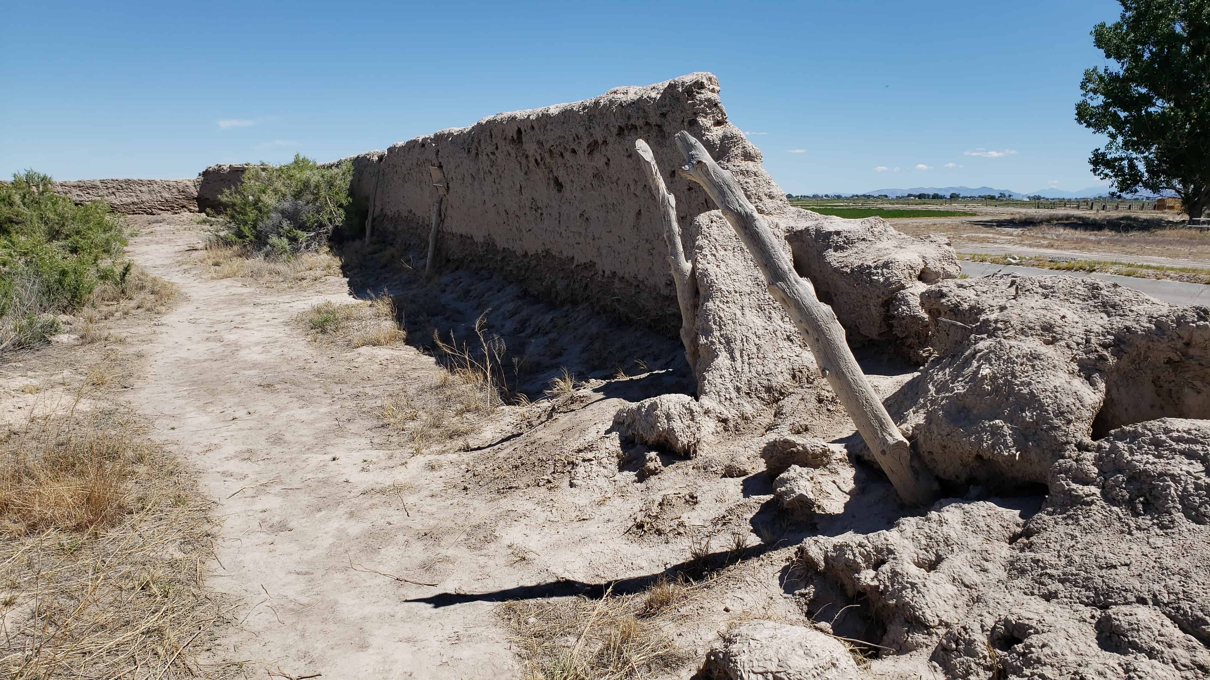
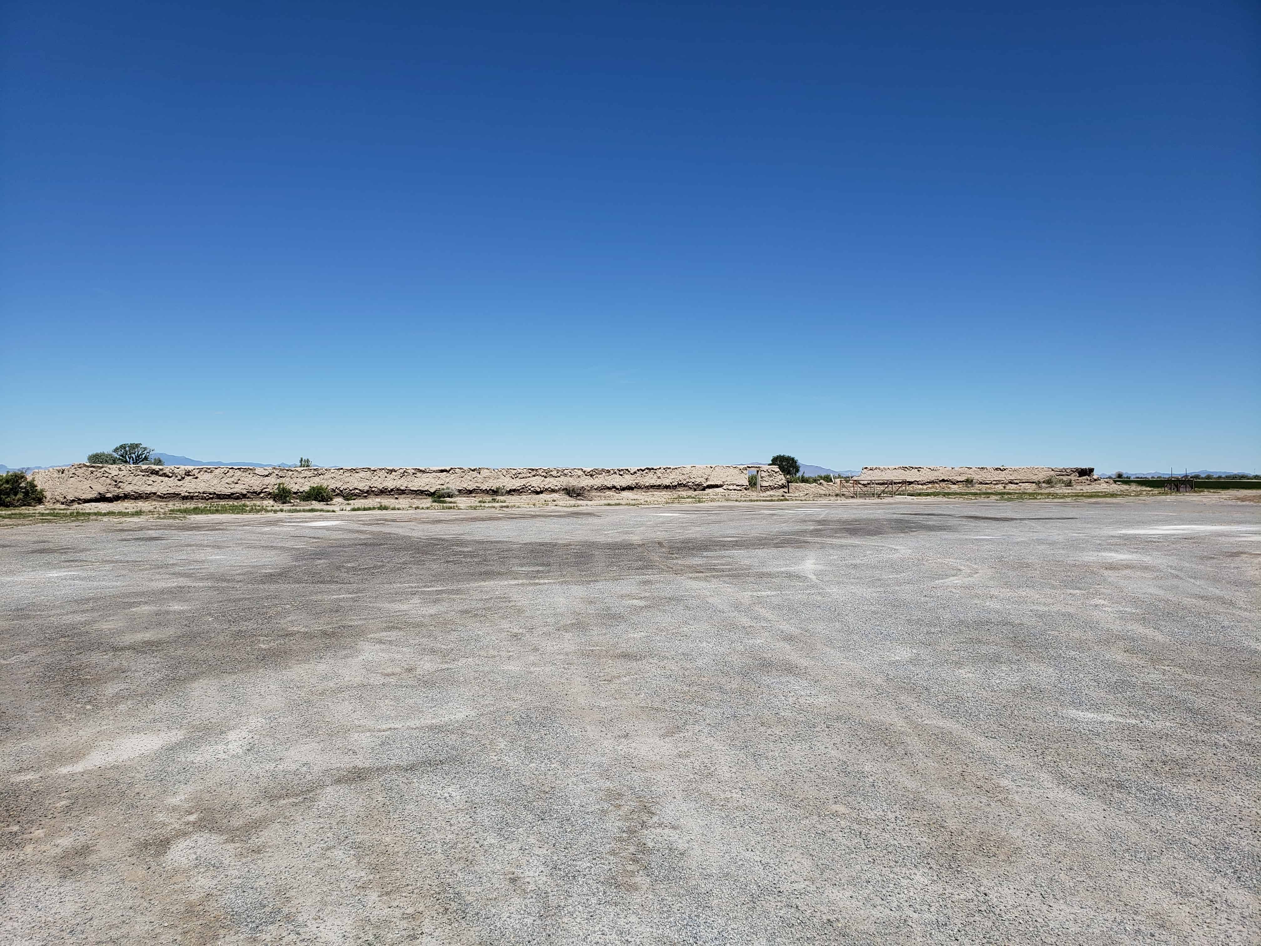
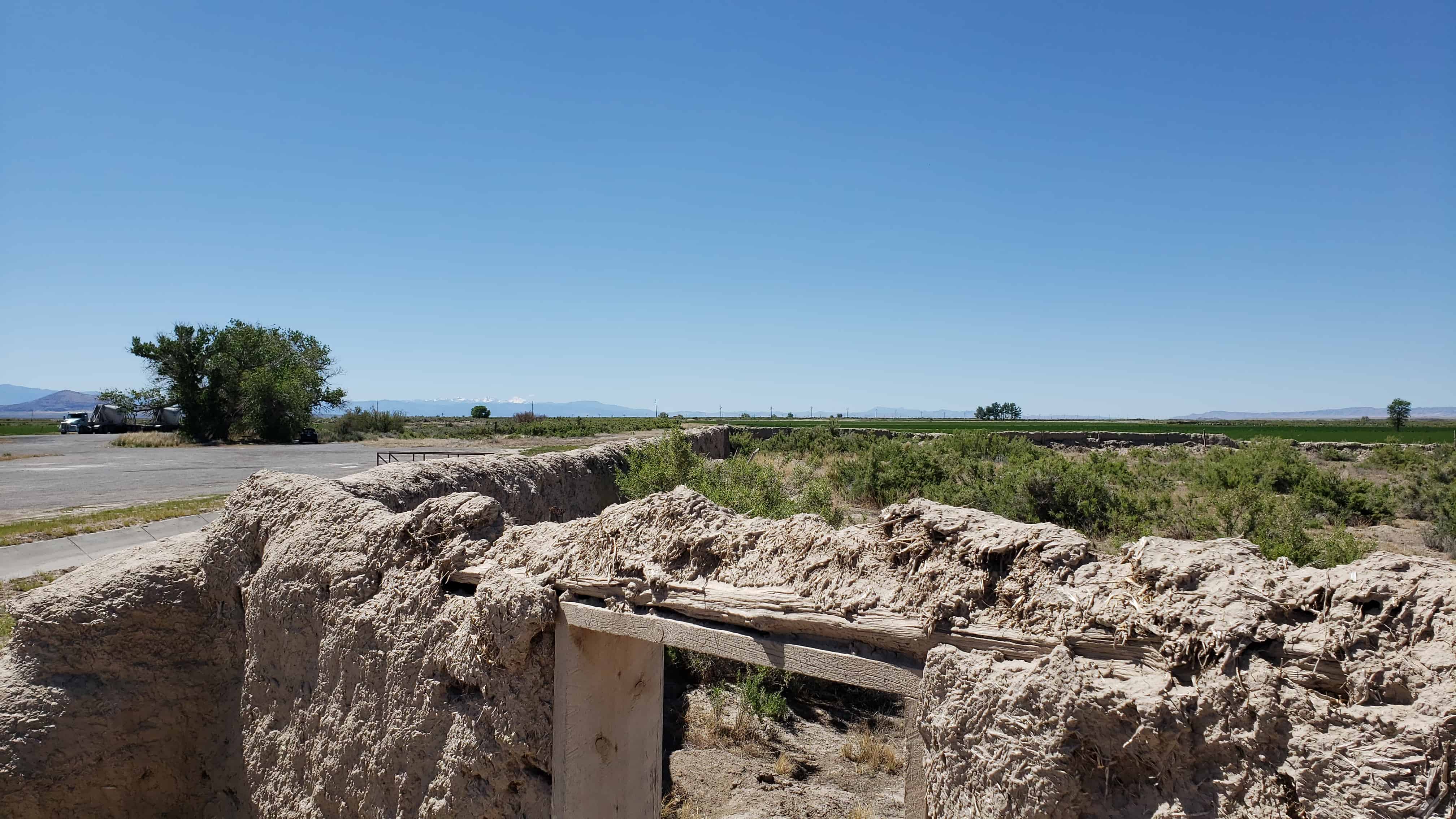
Actually the fort was never used to defend against the Indians, although it did offer security to the small isolated colony during a crucial period of Indian unrest; and cattle from the settlement were frequently corralled in the fort to avoid their being stolen by the Indians. In fact in later years the Indians themselves often used the abandoned fort. The community of Deseret was abandoned in 1868 because of water difficulties and was not reoccupied until 1874. The old mud fort remained a landmark but has slowly eroded during its more than one-hundred-year existence. Today less than half its walls remain standing.
Not only does Fort Deseret remain as a landmark in Mormon pioneering history, but it is the only remaining example of an “adobe mud” fort in Utah. Further, it was built entirely as a community project of materials at hand, thus typifying the cooperative nature of Mormon settlement. Its preservation needs are acute.
Description:
Fort Deseret was laid out in a square 550* x_55.p l . The foundations for the walls were made with 3-foot wide lava rock footings. Adobe mud for the walls was made by turning water into a big trench, then adding clay and straw which was mixed by foot of both humans and oxen. The mud was stacked on the footings to form walls 10′ high, 3′ wide at the base, and 1-1/2′ wide at the top. The center of the wall was the highest, to allow drainage outward.
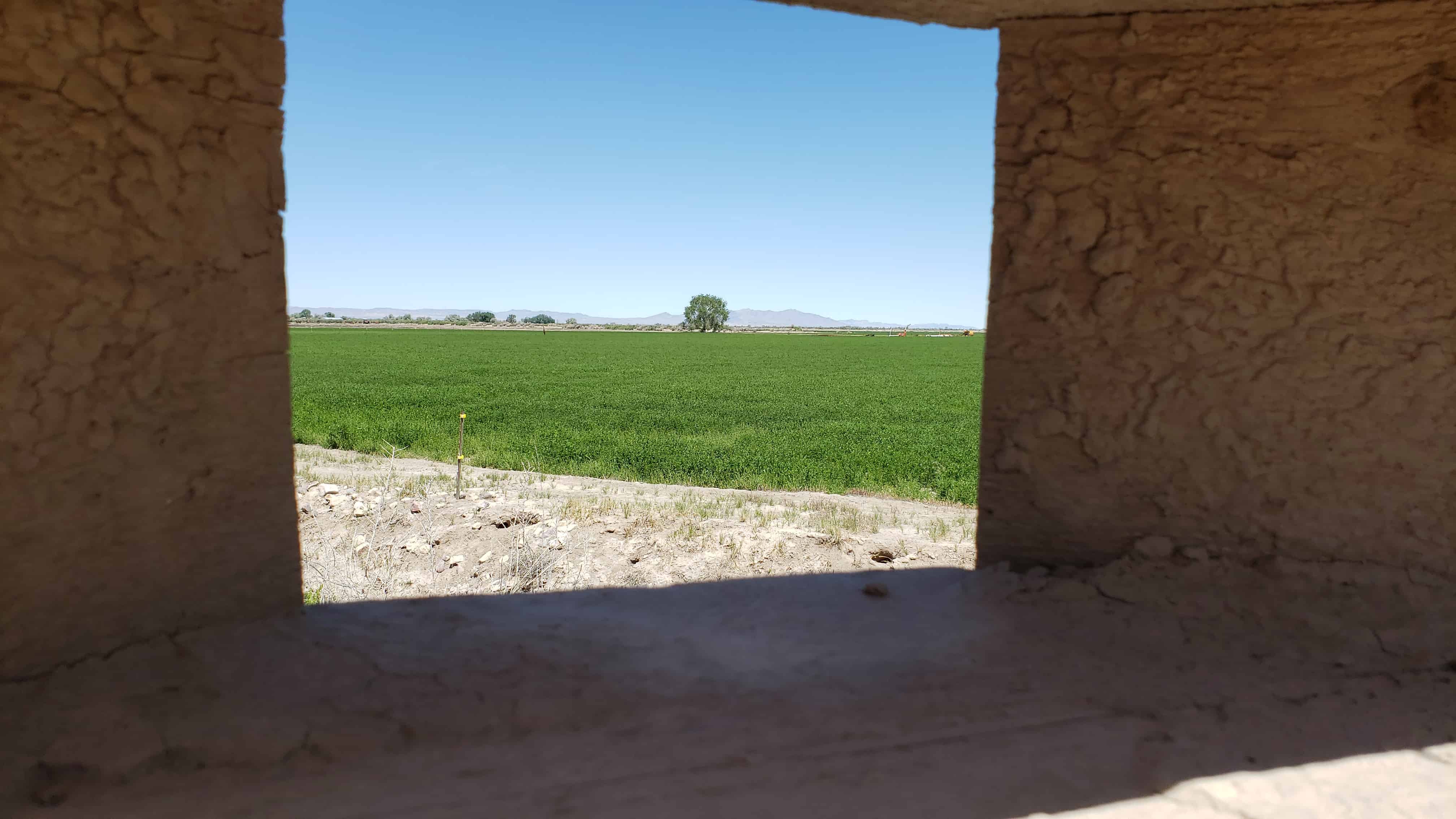
Taller bastions were constructed in the northeast and southwest corners extending beyond the walls. Rough hewn lumber was used to make the portals through which guns could be fired with a minimum of exposure to the defenders. Three portals were placed in each bastion, several on each side. The main gates were in the north and south walls, with small gates in the east and west walls.
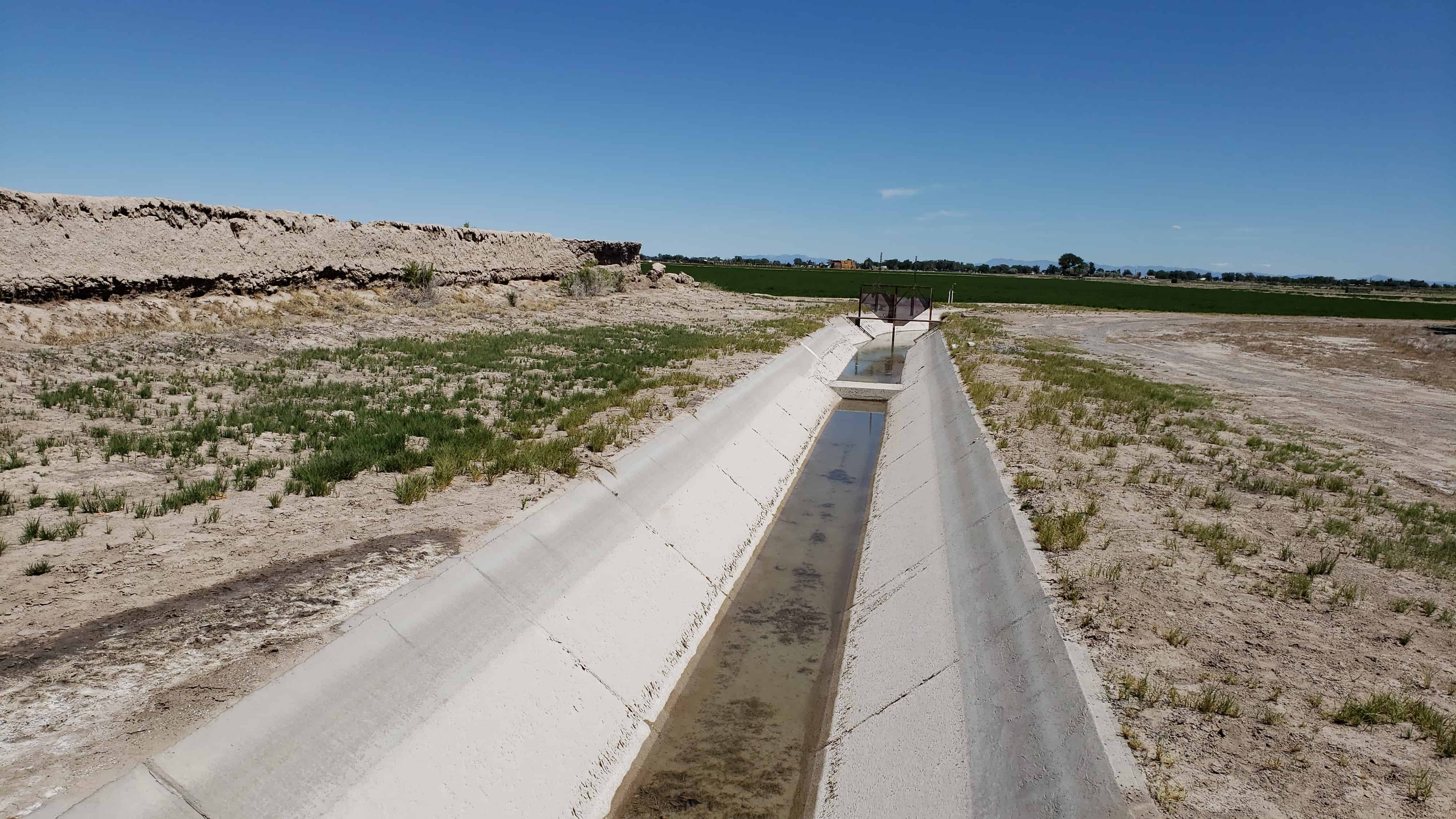
Rain and wind erosion has reduced the walls severely. Only portions remain, mainly on the east wall, the bastions and corners. One can see in the fallen portions of the wall the kind of adobe construction a layer of mud, a layer of straw. The remaining walls are from 6 to 7 feet high and badly eroded.
Greasewood and other brush have grown up around the walls. A ditch runs near the north wall and a large lateral in front of the east wall.
The site is near the old Sevier River channel, long since changed by man’s needs. Now owned by Utah State Parks and Recreation, both its preservation and development are being planned.
Nephi, like many other towns in Utah started out as a fort to keep the people safe. There are markers showing where the corners of the fort were and a section of the old fort wall.
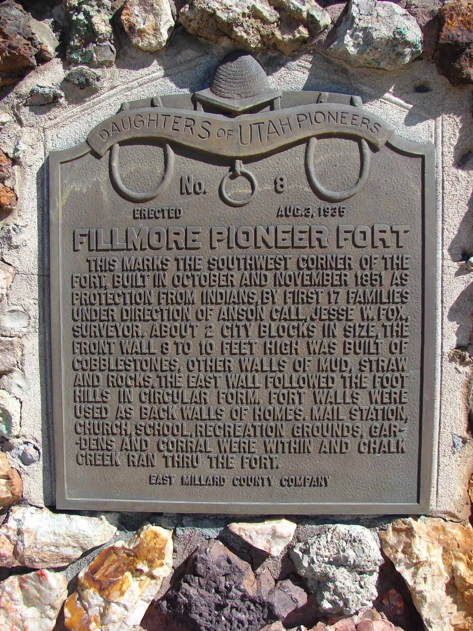
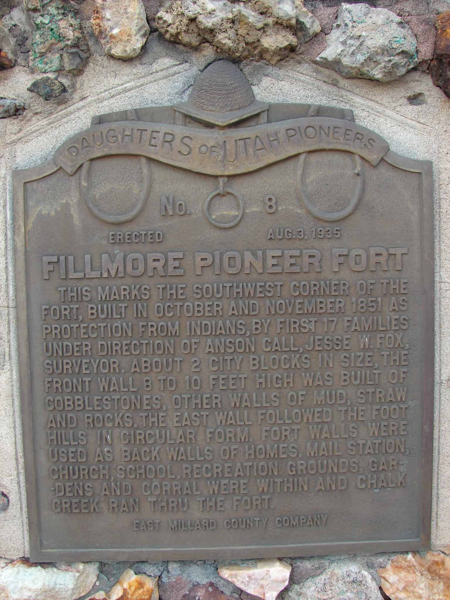
Fillmore Pioneer Fort This marks the Southwest corner of the Fort, built in October and November 1851 as protection from the Indians, by first 17 families under direction of Anson Call, Jesse W. Fox, surveyor. About 2 city blocks in size, the front wall 8 to 10 feet high was built of cobblestones, other walls of mud, straw and rocks. The East wall followed the foot hills in circular form. Fort walls were used as back walls of homes. Mail station, Church, School, recreation grounds, gardens, and corral were within and Chalk Creek ran through the Fort.
Check out all of the historic markers placed by the Daughters of Utah Pioneers at JacobBarlow.com/dup