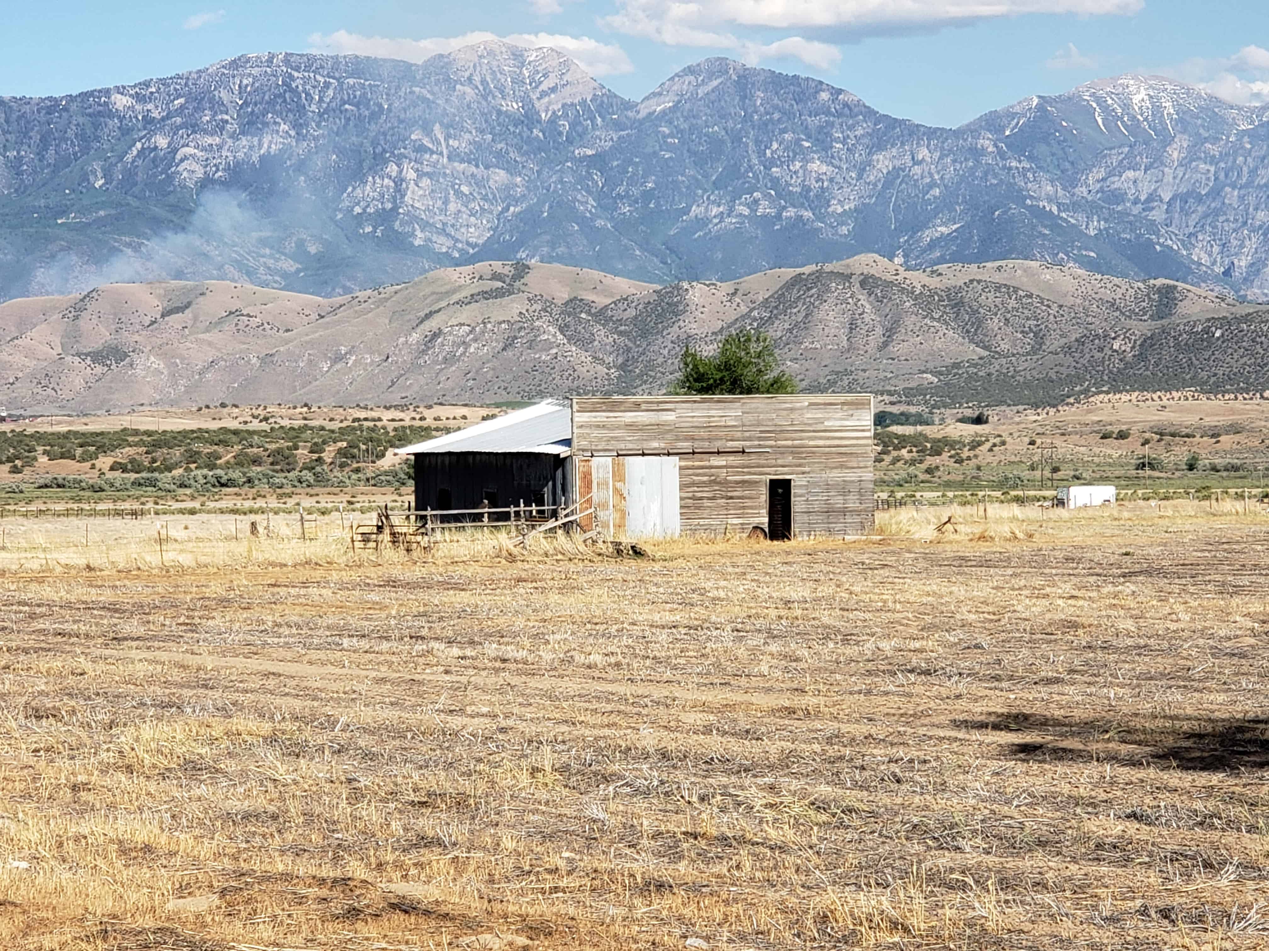
The Goshen Valley is a 17-milelong valley located in southern Utah County.
A southern arm (Goshen Bay), of Utah Lake bisects the valley, with western shore valley areas extending north to Mosida, at the south end of Lake Mountain.
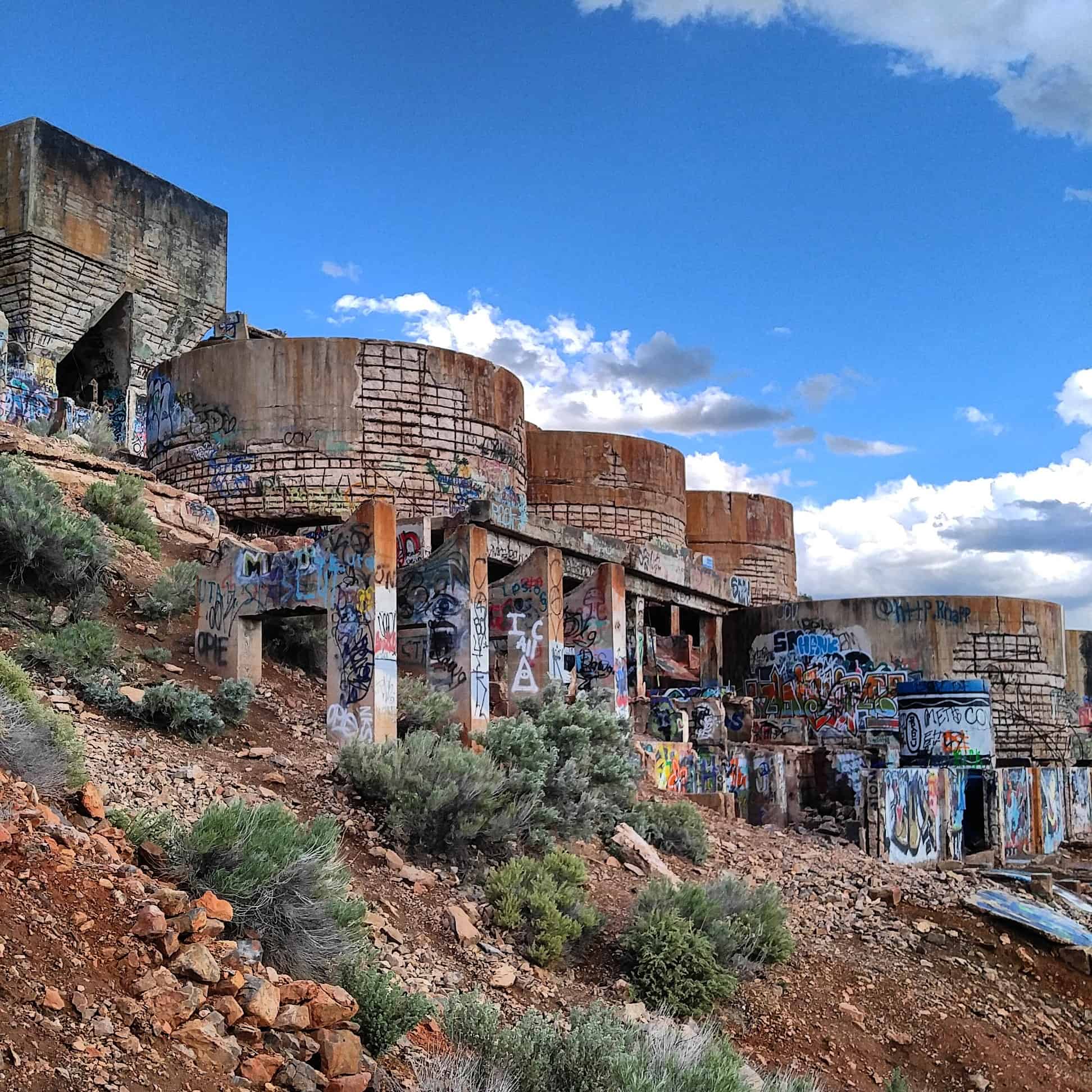
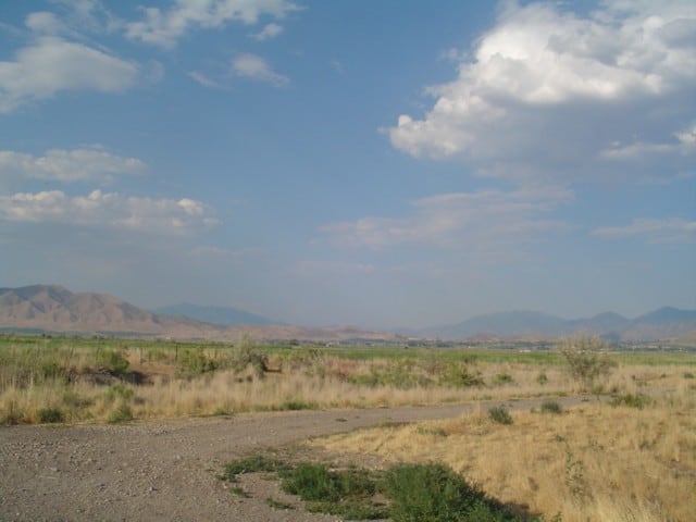
Adjacent just south of West Mountain is another mountain, Warm Springs Mountain, its western flank is the site of the abandoned mining operation, the Tintic Standard Reduction Mill, (Known as Harold, Utah) and adjacent west is Warm Springs.
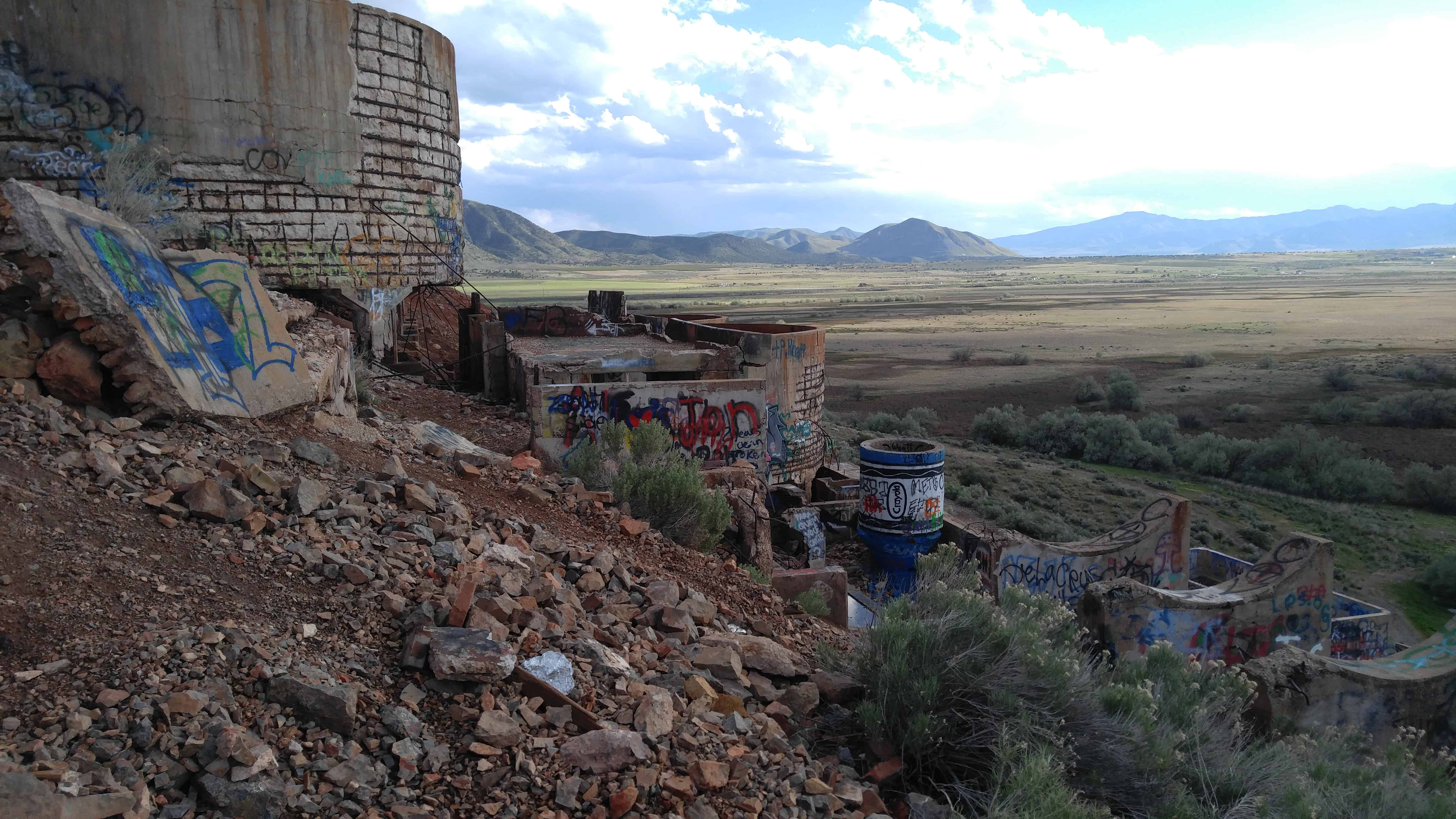
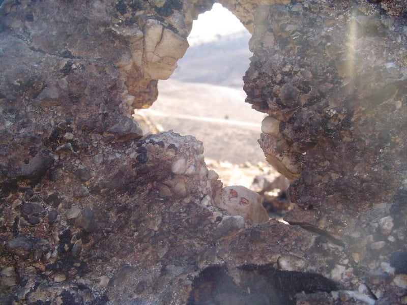
The Tintic Standard Reduction Mill presently stands in partial ruin. Drawings prepared by the HAER survey show front and side elevations, as well as a general plan of the mill’s remains. Enough exists to identify the structure as a mill, and to visualize the procedures involved in the milling process. It remains at the original location, Warm Springs, Utah, some two miles east of the town of Goshen in Utah County. The mill was erected on a hillside for gravity purposes.
Originally the mill contained water tanks, ore bins, crushing rolls, Holt-Dern roasters, iron boxes, leaching tanks, and to the side, drain boxes for lead precipitate. While the actual machinery is gone, the shell of the structure remains.
The Tintic Standard Reduction Mill (Harold Mill) was constructed during the 1919-1921 period by the Tintic Standard Mining Company, under Emil John Raddatz, prominent Utah mining entrepreneur. It served as the mill for the Tintic Standard, which became one of the nation’s leading silver producers, operating from 1916 to approximately 1945.
The significance of the mill, in addition to its place as a part of Tintic Standard’s operation, is attributable to its importance in the themes of engineering and industry. W. C. Madge designed and constructed the mill after having consulted with Theodore P. Holt and George H. Bern, Utah developers of the Holt-Dern Roaster. It was built at a cost of $580,000. The Tintic Standard Reduction Mill was the only use of the “antiquated” Augustin process in the United States during the early years of the 1920s. The plant was an acid brine chloritizing and leaching mill. Ore was first roasted with salt, then leached in a strong brine solution and finally precipitated with copper. Recovery rates were fairly high, as in 1924, when the mill recovered 88% of the silver, 60% copper. 32% lead and 7% of the gold held in the ore.
As related to industry, the mill was an important part of Tintic Standard’s operation. In addition, the construction of the plant also reflected the battle, then waging, over railroad transportation rates, which mine owners believed were too high. By milling the ore themselves, owners could save the shipping costs. By 1925, the mine could no longer supply ore of the grade for which the mill was designed. Also, by then, shipping rates declined, therefore, in the fall of that year, the plant shut down.
A town grew up near the mill, named “Harold” after Raddatz’s son. Only the site remains, nevertheless, the town site and especially the mill, aids both in the documentation of mining history and also in the affect this operation had upon nearby small fanning communities such as Goshen, causing them to experience “Boom periods” in their development,
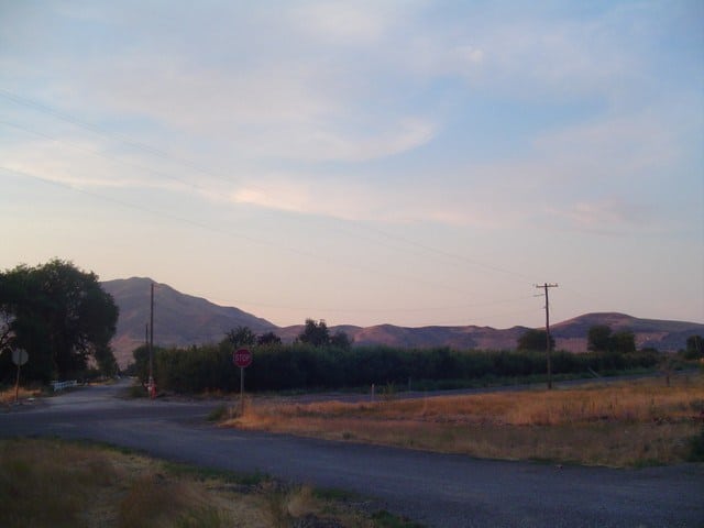
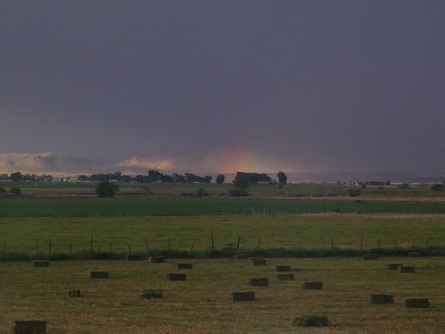
Many people driving from Goshen towards Genola and Santaquin see the Mill up on the mountain and wonder what it is, it is quite curious looking.
The Tintic Standard Reduction Mill is located on the hillside above Genola, Utah and was added to the National Register of Historic Places (#78002700) on September 13, 1978.
Here are my photos from a trip on 09 May 2016:
The Tintic Standard Reduction Mill (Harold Mill) was constructed during the 1919-1921 period by the Tintic Standard Mining Company, under Ernie J. Raddatz, prominent Utah mining entrepreneur. It served as the mill for the Tintic Standard, which became one of the nation’s leading silver producers, operating from 1916 to approximately 1945.
The significance of the mill, in addition to its place as a part of Tintic Standard’s operation, is attributable to its dunportance in the themes of engineering and industry. W. C. Madge designed and constructed the mill after having consulted with Theodore P. Holt and George H. Bern, Utah developers of the Holt-Dern Roaster. It was built at a cost of $580,000. The Tintic Standard Reduction Mill was the only use of the “antiquated” Augustin process in the United States during the early years of the 1920s. The plant was an acid brine chloridizing and leaching mill. Ore was first roasted with salt, then leached in a strong brine solution and finally precipated with copper. Recovery rates were fairly high, as in 1924, when the mill recovered 88% of the silver, 60% copper. 32% lead and 7% of the gold held in the ore.
As related to industry, the mill was an important part of Tintic Standard’s operation. In addition, the construction of the plant also reflected the battle, then waging, over railroad transportation rates, which mine owners believed were too high. By milling the ore themselves, owners could save the shipping costs. By 1925, the mine could no longer supply ore of the grade for which the mill was designed. Also, by then, shipping rates declined, therefore, in the fall of that year, the plant shut down.
A town grew up near the mill, named “Harold” after Raddatz’s son. Only the site remains, nevertheless, the town site and especially the mill, aids both in the documentation of mining _ history and also in the affect this operation had upon nearby small fanning communities such as Goshen, causing them to experience “Boom periods” in their development,
As early Latter-day Saint pioneers came to the Goshen Valley, they settled in areas then known as Sandtown, The Bend, and The Fort. Later, President Brigham Young urged the settlers to form the township of Goshen and predicted that a new highway would be built near the existing cemetery. He instructed the pioneers to relocate farms, homes, and their cemetery to higher solid ground believed to be more fertile. Many moved their cabins, and several of those buried in the original cemetery were interred in the new Goshen Cemetery, located south of the newly established town. No record exists of those whose remains were moved. After 1880, no new burials were made in this cemetery.
The original Goshen Pioneer Cemetery is located 300 yards north of this monument made sacred by the sacrifice of original and native pioneers who gave their all for their faith. The following eighteen men, women, and infants are buried herein: Louisa Jane Bigelow, 1858; Diana Dall, 1859; John Shields Gardner, 1862; William Edward Martin 1865; Julia Ann Gardner, 1865; Riley Stewart, 1866; Gertrude Sorensen, 1868; Henry Lyman Cook, 1869; Hyrum Cook, 1869; Mary Ann Weech, 1873; Mary Ellen Finch, 1876; Soren Christensen Sorenson, 1876; Henry David Dall, 1876; Samuel Weech, 1877; Hyrum Finch, 1879; Annie Marie Sorensen, 1880; Nelce Sorensen, 1880; Soren Sorensen, Jr., 1880. We have not forgotten their lives and determined spirits; they play an important part of a vibrant heritage.
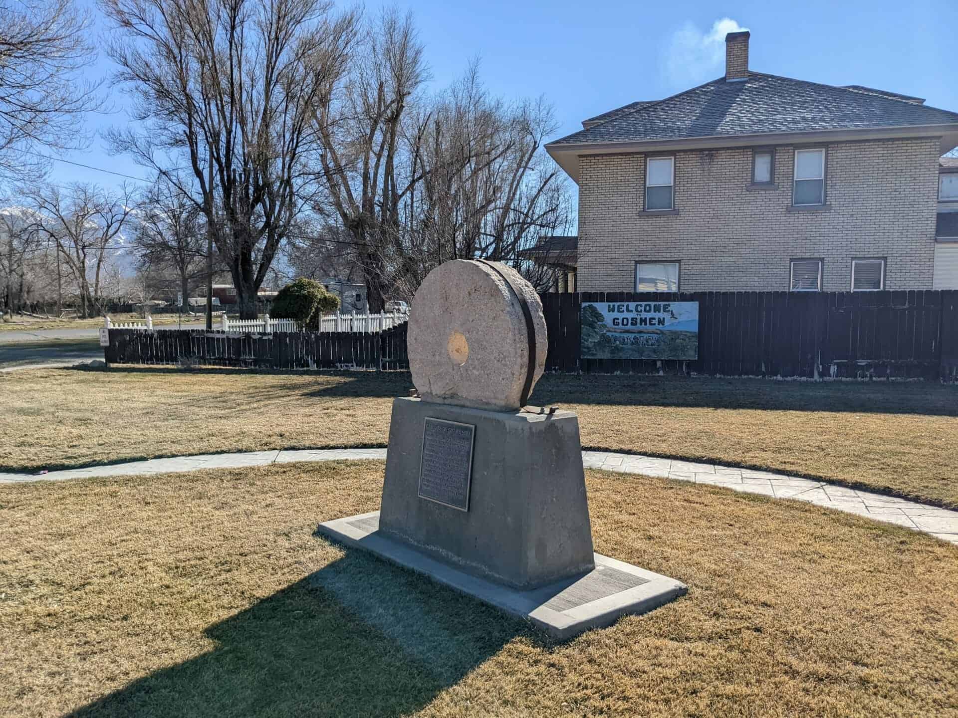
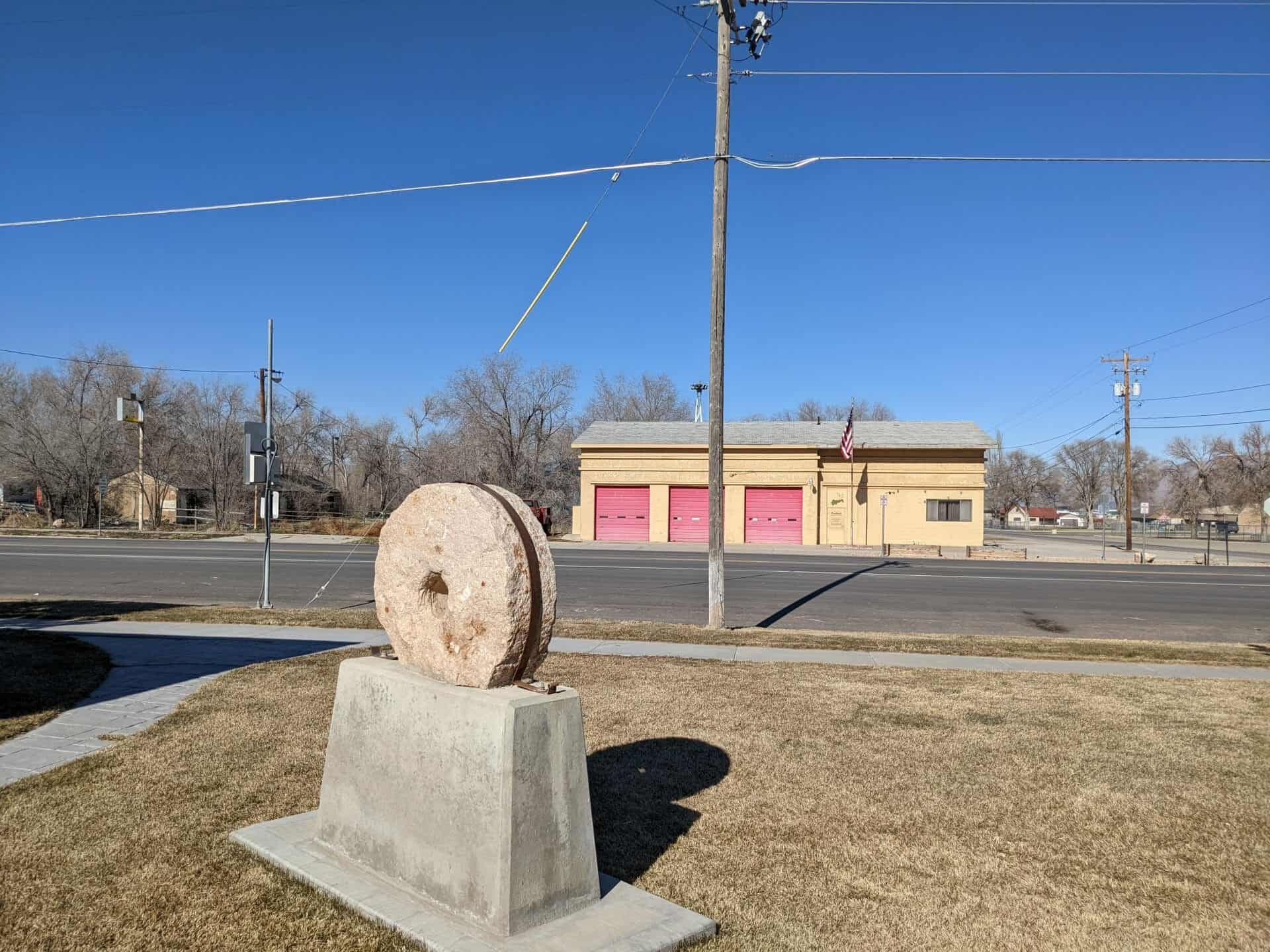
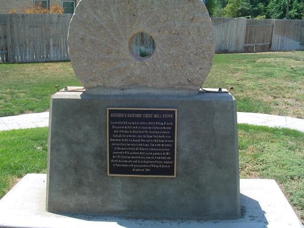
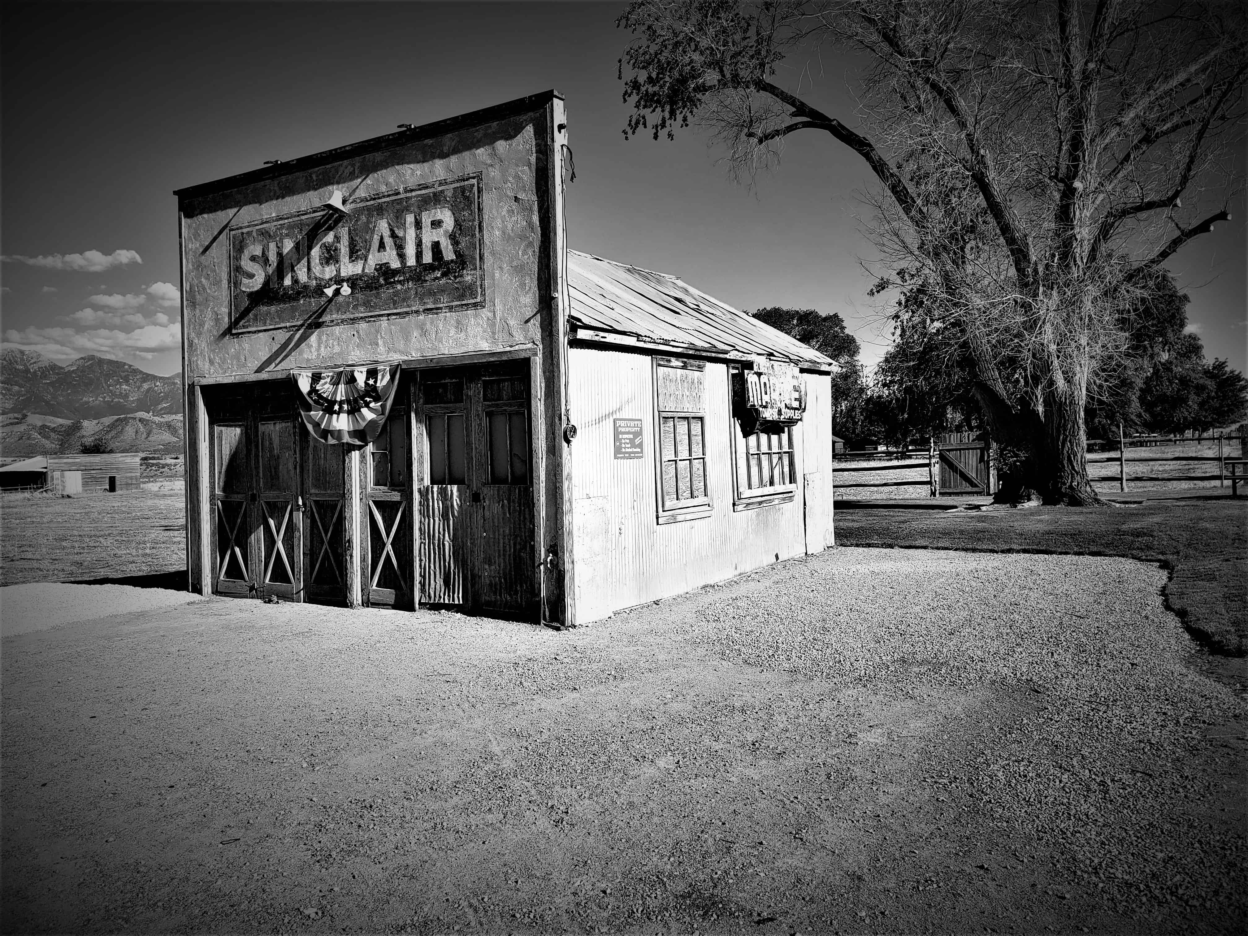
Goshen Grist Mill was built in 1864 or 1865 by William W. Smith. He operated the Mill south of present day Goshen on the creek until 1866 when the Black Hawk War forced him to move to Santaquin for protection. Later the Edgar Finch family ran a farm where the mill was located. They used the Mill Stone for many years as a front door step to their house. That is why the bottom of the stone is broken off. Historical information has been preserved by William Morris Smith a great grandson. In 2003 the LDS Church purchased the farm from the Finch family and allowed this stone to be used for an Eagle Scout Project, organized by Vance Garner a 4th great grandson of William W. Smith in the spring of 2004.
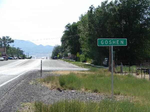
Goshen is the slowest growing city or town in Utah County and is the smallest city or town in the County by land size and has 952 residents. It was incorporated in 1910. It was previously known as Sodom, Mechanicsville, Lower Goshen and also Sandtown before being named after Goshen, Connecticut by Phineas Cook.
Big Canyon takes you from the West end of Goshen Valley (west of Elberta) up to Eureka, there are many mines in the hills and a lot of fun area to explore. A favorite place to stop with the kids is the old railroad bridge on the abandoned railroad line that goes through there, you can’t miss it just off to the left as the Canyon starts if you’re going up it (west).
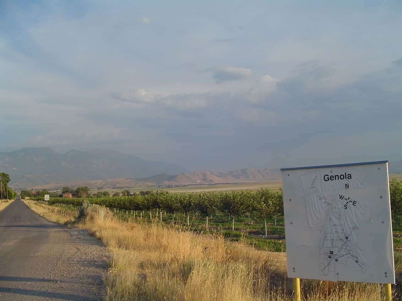
Previously known as Warm Creek and then Townsend, it was renamed to Genola in 1916 and was incorporated in 1935. There was a Townsend Hotel, a Townsend rock quarry and more named after Byron Townsend but now it is almost all farming and residential.
Townsend, UtahWhen I lived there (2006) there was a cool old “Merc” located at N 39° 59.355 W 111° 50.040, it’s gone now.I have several pictures of the town from back then, it’s slowly changing so I’m glad I have them.
Elberta was originally established in the early 1900′s as two separate settlements Elberta and also Verda, four miles south of this location. The surrounding 15,000 acres were purchased in 1892 by Gilbert Payton and Ernest Rigdon with visions of a fruitful valley and an opportunity to make their fortune in mining. In 1907 Matthew B. Whitney purchased the project from Payton and Rigdon and named Elberta after the delicious Elberta peaches that were growing here.
It was founded as “Mt. Nebo”. After the water failed in 1901 most of the early settlers moved away.