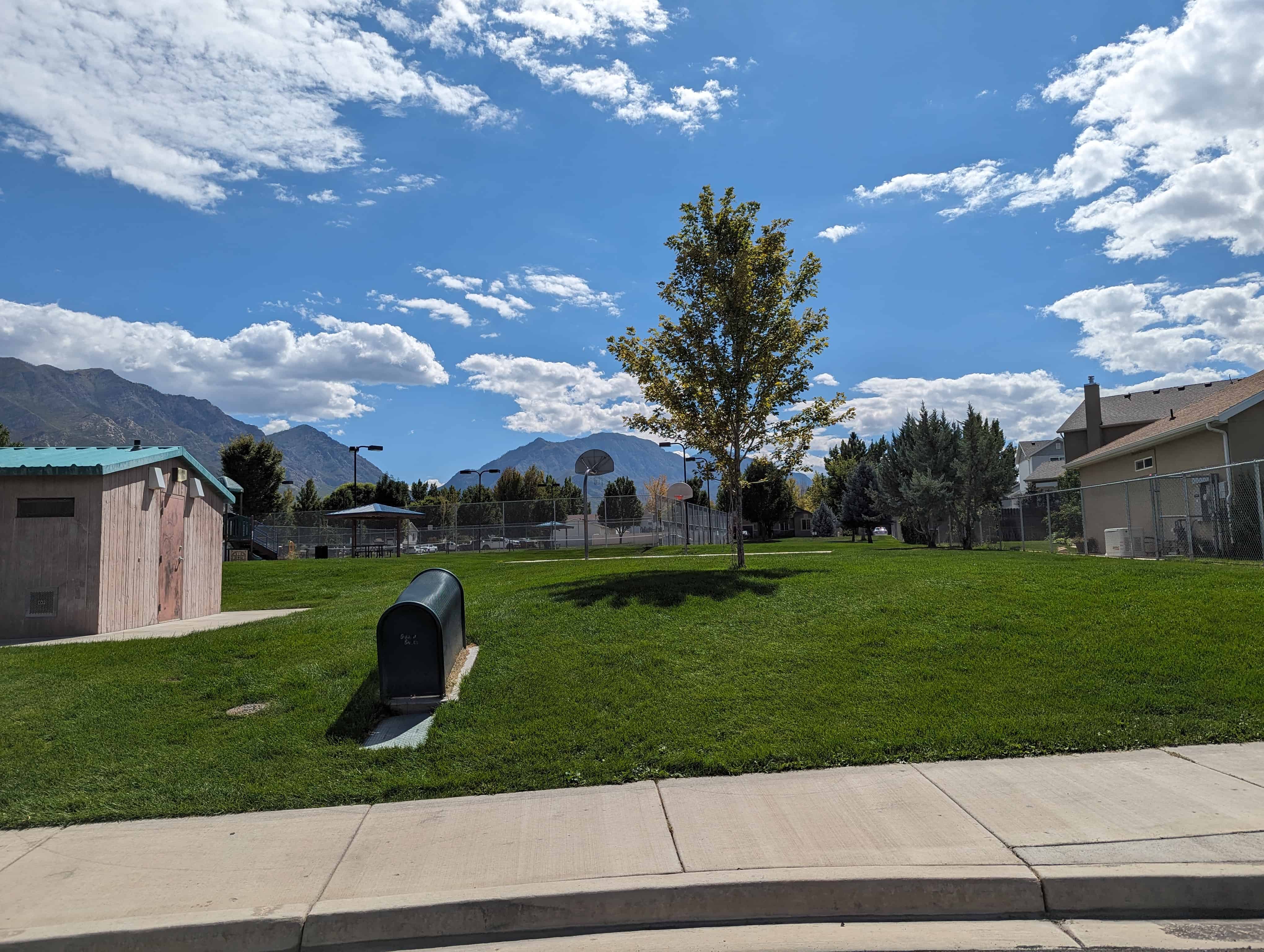
Orchard Cove Park
24 Tuesday Sep 2024
Posted in Uncategorized

24 Tuesday Sep 2024
Posted in Uncategorized
10 Sunday Jul 2022
Posted in Uncategorized

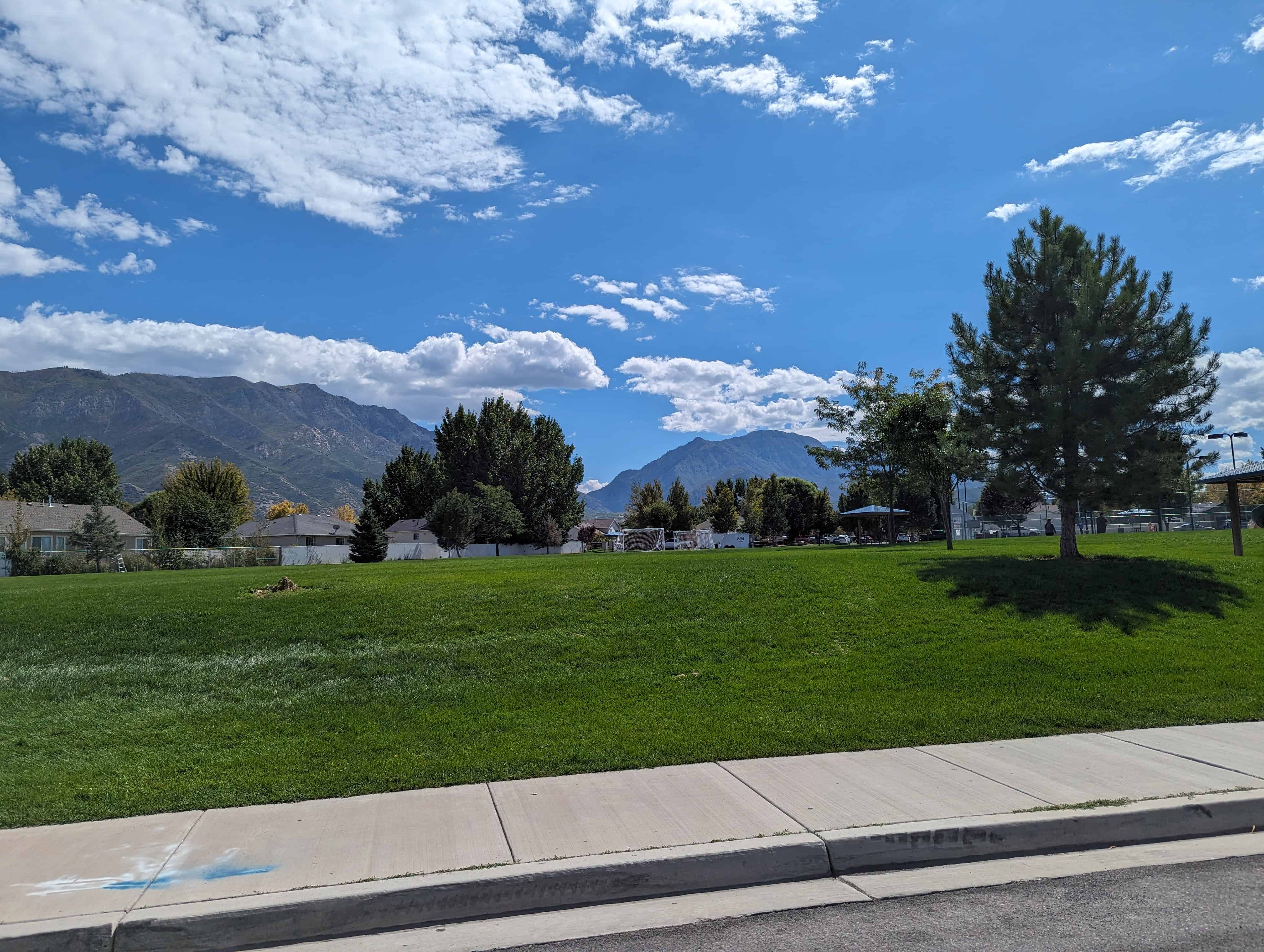
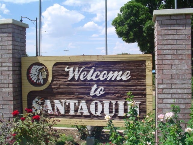
Parks in Santaquin, Utah
10 Sunday Jul 2022
Posted in Uncategorized
Tags
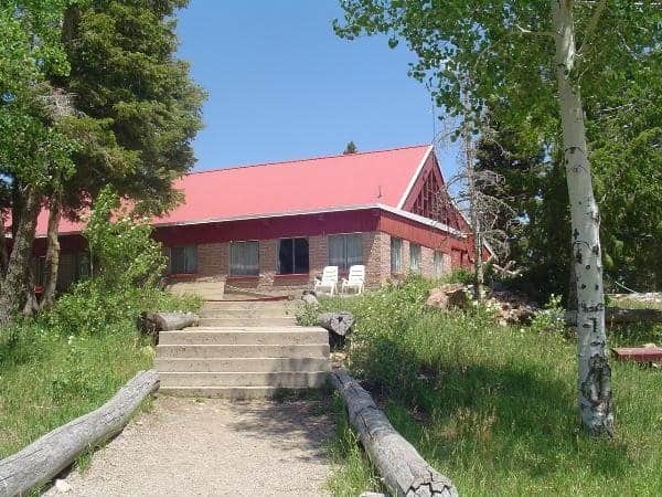
Squash Head Memorial Park
45 East Main Street in Santaquin, Utah.
Related:


12 Wednesday May 2021
Posted in Uncategorized
Tags

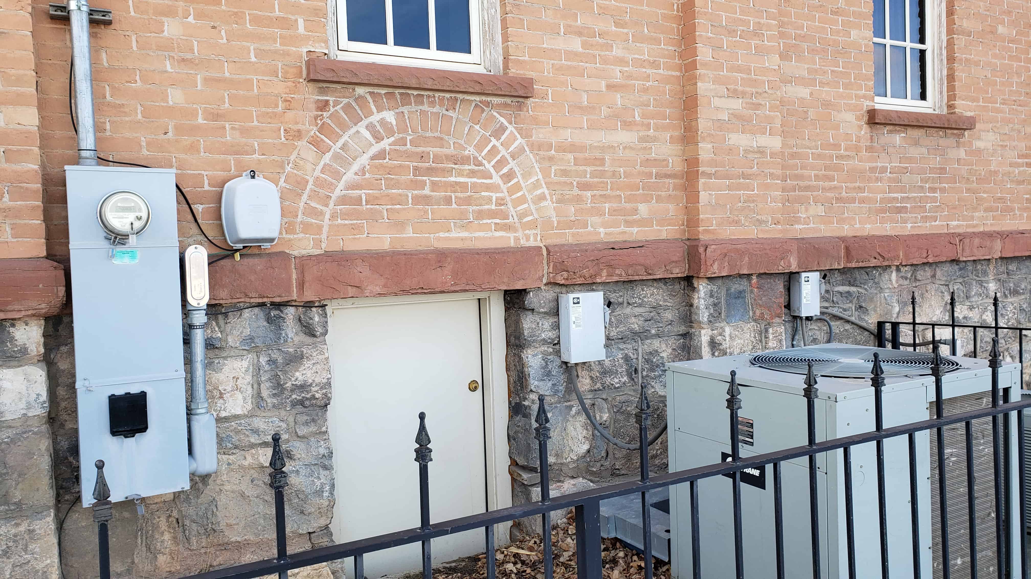
The Santaquin Ward Chapel was built in 1901 and is now the Santaquin City Library.
Located at 20 West 100 South in Santaquin, Utah.


09 Sunday May 2021
Posted in Uncategorized
Tags
New Deal Funded, NRHP, Santaquin, Schools, utah, utah county

Santaquin Junior High School was built in 1935 as one of the many Public Works Administration New Deal Funded projects.
Located at 75 West 100 South in Santaquin, Utah.
Related:


08 Saturday May 2021
Posted in Uncategorized

Central School, built in 1903 in Santaquin, Utah.
Related:
Located at 95 West 100 South in Santaquin, Utah.


29 Tuesday Nov 2016
Posted in Uncategorized
Tags
25 Thursday Aug 2016
Posted in Uncategorized
Tags

The O. Doyle Crook Memorial Rose Garden is in Santaquin, just outside the Chieftan Museum.


Oscar Doyle Crook, 68, of Santaquin, beloved husband, father, grandfather, died April 26, 1992, at Mountain View Hospital, Payson, Utah, of heart failure.
He was born December 11, 1923, at Santaquin, Utah, a son of Oscar Frederick and Ida Fay Patten Crook. He married Idonna Walker, September 14, 1946, in Santaquin. The marriage was later solemnized in Saint George LDS Temple.He retired from Nebo School District after 28 years of service. He was Bishop of Santaquin 2nd Ward for eight years. He served in stake and ward positions. He was mayor of Santaquin for eight years. In 1974 he received the Distinguished Service Award from Utah County Council Government; 1975 Citizen of the Year recipient from the Utah County Council of Government. He was United States Army Veteran, serving in World War II in the South Pacific. Former commander and adjutant of the Santaquin American Legion Post 84, and a member for 38 years.
22 Sunday Mar 2015
Posted in Uncategorized
Tags
“Grandfather”
Once again, you return home to this valley you roamed, “in peace.”
These valleys were plentiful with food, water, these mountains were home to you as well.
Once again you see your home as you rest.
Your long journey at last fulfilled as you return back to Mother Earth.
Rest in peace, “Grandfather”
Richard Mountain Sr. & Family, Sylvia R Mountain & family, Arlene M. Appah & Family.
A child destined to be a Ute war chief was born very near here in about 1830. Antonguer, later called Blackhawk, watched Anglo-American settlers arrive in this valley as a young man. With them came disease, starvation, and the loss of his peoples land.
In 1865, he commenced the “Blackhawk War” against white expansion, Blackhawk led an effective campaign but offered peace in 1867 in exchange for the promise of land for his people.
He died here and was buried in the nearby mountains on Sept. 29, 1870.
Four decades later, miners without respect exhumed his bones and displayed them in a museum. On May 4, 1996 he was given back the honor due a great northern Ute chief when he family reburied him here in the place he loved and called home.


20 Friday Jun 2014
Posted in Uncategorized
Tags
Santaquin Posts:
Santaquin is located in Utah County, about seventy miles south of Salt Lake City in a picturesque and beautiful site with a view of Utah Lake and Mount Timpanogos to the north. Originally called Summit City because of its location at the summit dividing line between Utah and Juab valleys, it was settled in late 1851 by pioneers who were helping settle Payson, located about six miles to the north. Abundant water, plenty of fertile land for farming, and abundant groves of trees for firewood, fence posts, and cabin logs made this an ideal place for a community.
A friendship developed between local Indian chief Guffich and Benjamin F. Johnson, leader of the original pioneers, which enabled the whites to settle peacefully in the area. By 1853 the settlement had grown sufficiently to become known as Summit Creek Precinct No. 7. Soon after, however, the Walker War broke out, and the settlers were forced to move for safety to Payson, where they remained until 1855.
Around this time a fort was built according to plans furnished by architect Truman O. Angell. After its completion, the settlers moved back to the town in the spring of 1856. One night soon after resettlement Chief Guffich came secretly to warn Johnson of an impending raid by young braves, including his son Santaquin. The settlers quickly left, and when the raiders found the fort deserted Chief Guffich explained to them that the white men were good people and that the Great Spirit had warned them of the attack. It was claimed that from that day peace was made between the local Indians and the Mormon pioneers. It was decided to name the town after Guffich, but he declined the honor and asked that the settlement be named “Santaquin” for his son.
A rock schoolhouse was built in the fort in 1856. It was stoutly built and served the public for many years, still being used into the 1980s. It was not until 1896 that the first local church building was constructed, religious meetings having been conducted in the school building, which now serves as a senior citizens’ center and a veterans’ memorial hall.
In addition to farming, early industries included sawmills, a flour mill, a molasses mill, and a furniture shop. A silk industry was started with the planting of mulberry trees, some of which still remain in the city. Horse and buggy were the only means of transportation available until 1875, at which time the Utah Southern Railroad completed a line to Santaquin. About that time, rich ore was discovered in the Tintic area. Several mines were discovered on Santaquin ridge, or Dry Mountain, with some copper, lead, silver, and zinc being mined; the Union Chief mine was the most prosperous.
Following serious flooding in 1949, the Summit Creek Canal and Irrigation Company was given approval to construct a reservoir west of the city; on several occasions it has prevented disastrous damage to the community. A diversion dam was completed and more than 10,000 feet of concrete pipe laid in 1971, which proved to be an efficient method of conserving valuable water resources. Irrigation methods changed to sprinkling systems or drip systems, enabling farmers to efficiently irrigate land that was not level, bringing more farmland into production. Natural gas service was brought to Santaquin in 1954, and marked a major development in the modernization of the community.
With the construction of the steel plant at Geneva and the rapid growth in the Provo–Orem area to the north, many fruit farmers relocated to the Santaquin area. Large orchards were planted, replacing wheat fields and pasture land. The construction of huge cold storage facilities for the fruit created many jobs in the community. Another boast to the economy and population came in 1968 with the completion of Interstate 15 through the town.