• About JacobBarlow.com
  • Cemeteries in Utah
  • D.U.P. Markers
  • Doors
  • Exploring Utah Email List
  • External and Referral Links
  • Geocaching
  • Historic Marker Map
  • Movie/TV Show Filming Locations
  • Oldest in Utah
  • Other Travels
  • S.U.P. Markers
  • U.P.T.L.A. Markers
  • Utah Cities and Places.
  • Utah Homes for Sale
  • Utah Treasure Hunt

JacobBarlow.com

~ Exploring with Jacob Barlow

JacobBarlow.com

Tag Archives: Genola

Santaquin, Utah

20 Friday Jun 2014

Posted by Jacob Barlow in Uncategorized

≈ 5 Comments

Tags

Genola, Payson, Santaquin, utah, utah county

Image

Santaquin Posts:

  • Central School
  • City Center Park
  • First Relief Society Hall
  • O. Doyle Crook Memorial Rose Garden
  • Parks in Santaquin
  • Santaquin DUP Marker
  • Santaquin Junior High
  • Santaquin Ward Chapel
  • Southern Utah Valley Historic Marker
  • Santaquin posts sorted by address

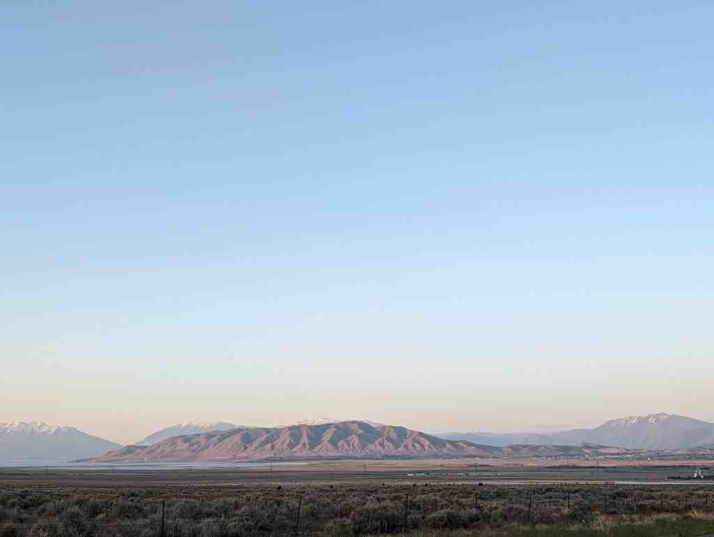
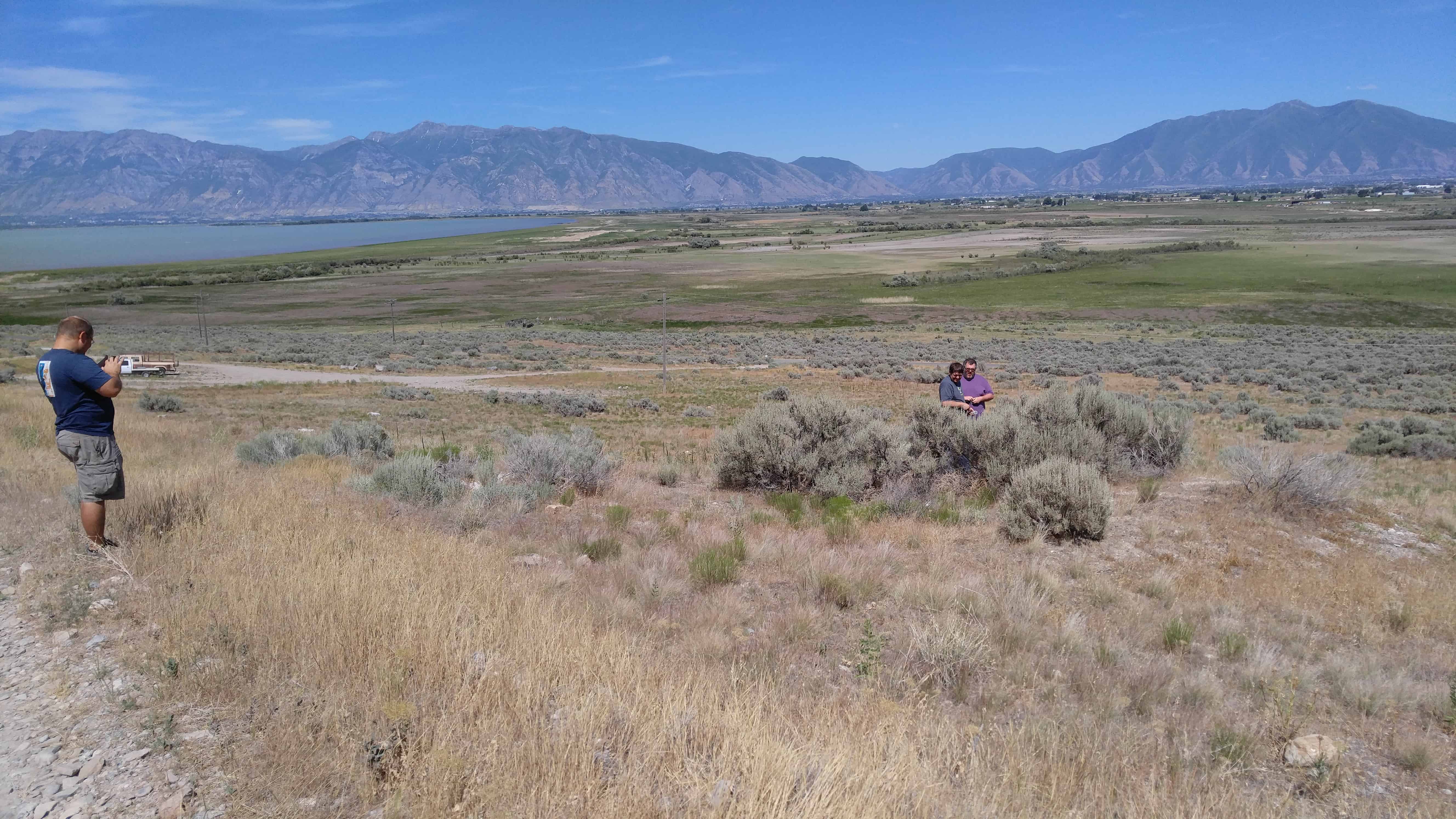
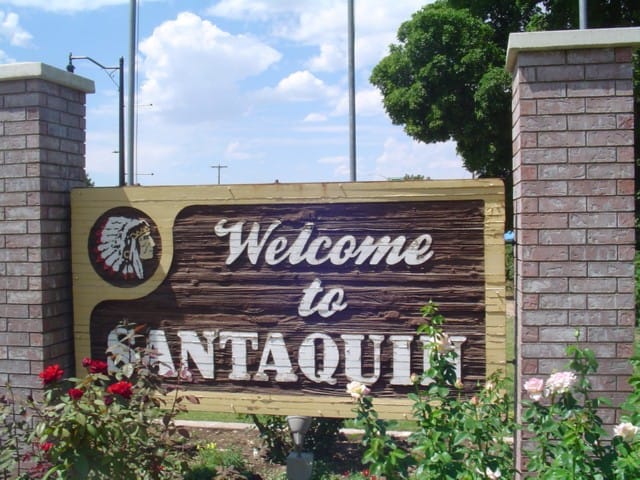
Santaquin is located in Utah County, about seventy miles south of Salt Lake City in a picturesque and beautiful site with a view of Utah Lake and Mount Timpanogos to the north. Originally called Summit City because of its location at the summit dividing line between Utah and Juab valleys, it was settled in late 1851 by pioneers who were helping settle Payson, located about six miles to the north. Abundant water, plenty of fertile land for farming, and abundant groves of trees for firewood, fence posts, and cabin logs made this an ideal place for a community.

A friendship developed between local Indian chief Guffich and Benjamin F. Johnson, leader of the original pioneers, which enabled the whites to settle peacefully in the area. By 1853 the settlement had grown sufficiently to become known as Summit Creek Precinct No. 7. Soon after, however, the Walker War broke out, and the settlers were forced to move for safety to Payson, where they remained until 1855.

Around this time a fort was built according to plans furnished by architect Truman O. Angell. After its completion, the settlers moved back to the town in the spring of 1856. One night soon after resettlement Chief Guffich came secretly to warn Johnson of an impending raid by young braves, including his son Santaquin. The settlers quickly left, and when the raiders found the fort deserted Chief Guffich explained to them that the white men were good people and that the Great Spirit had warned them of the attack. It was claimed that from that day peace was made between the local Indians and the Mormon pioneers. It was decided to name the town after Guffich, but he declined the honor and asked that the settlement be named “Santaquin” for his son.

A rock schoolhouse was built in the fort in 1856. It was stoutly built and served the public for many years, still being used into the 1980s. It was not until 1896 that the first local church building was constructed, religious meetings having been conducted in the school building, which now serves as a senior citizens’ center and a veterans’ memorial hall.

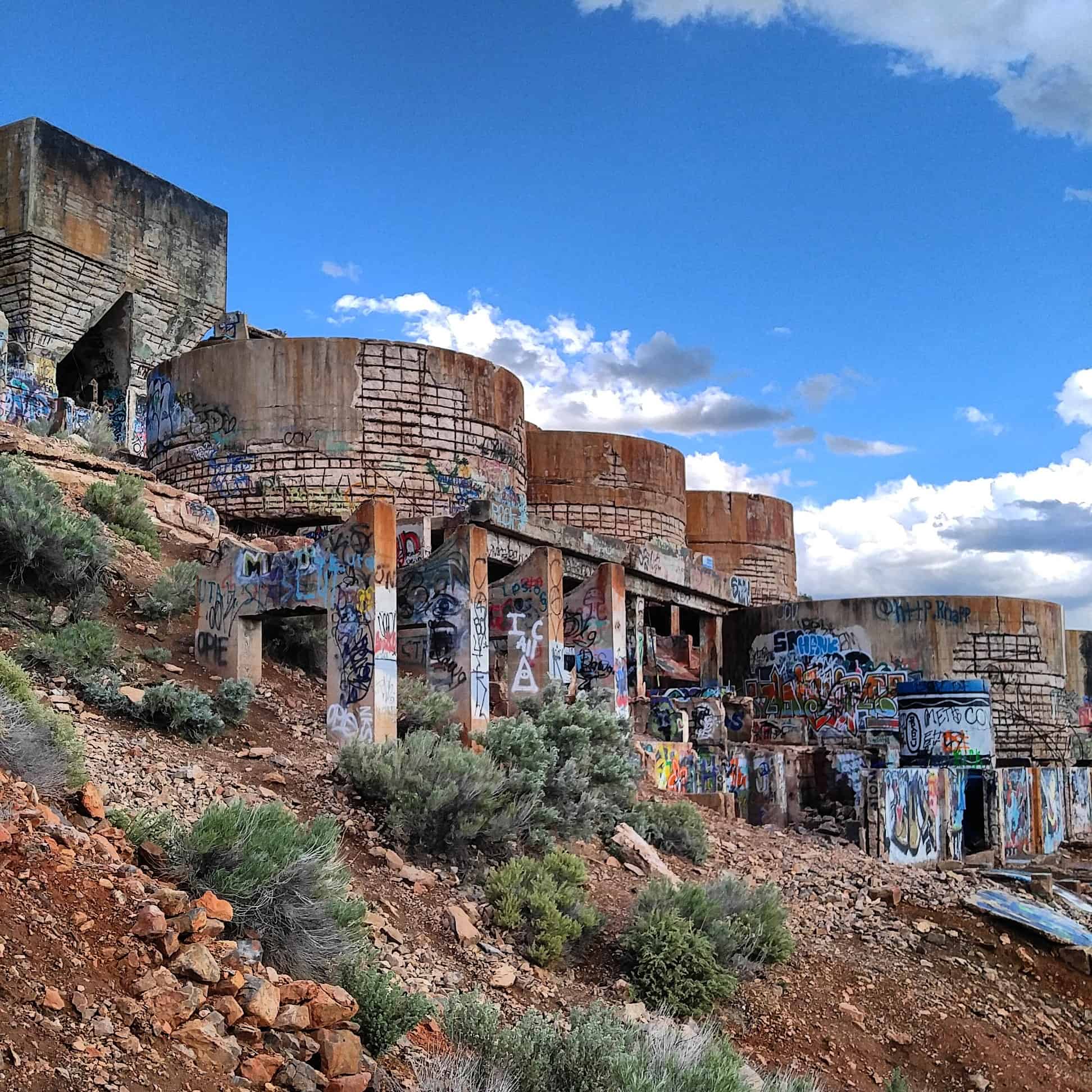
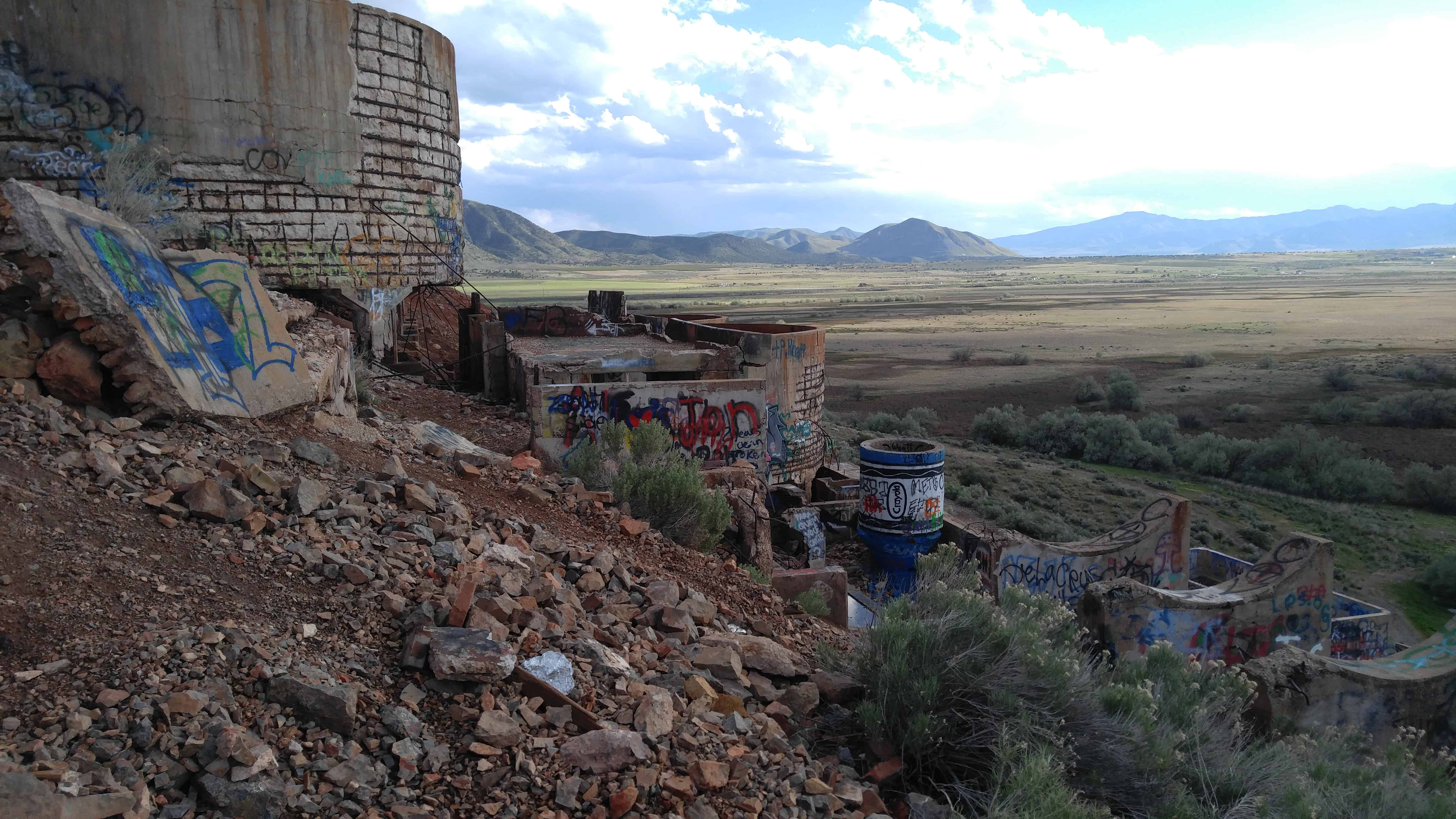
In addition to farming, early industries included sawmills, a flour mill, a molasses mill, and a furniture shop. A silk industry was started with the planting of mulberry trees, some of which still remain in the city. Horse and buggy were the only means of transportation available until 1875, at which time the Utah Southern Railroad completed a line to Santaquin. About that time, rich ore was discovered in the Tintic area. Several mines were discovered on Santaquin ridge, or Dry Mountain, with some copper, lead, silver, and zinc being mined; the Union Chief mine was the most prosperous.

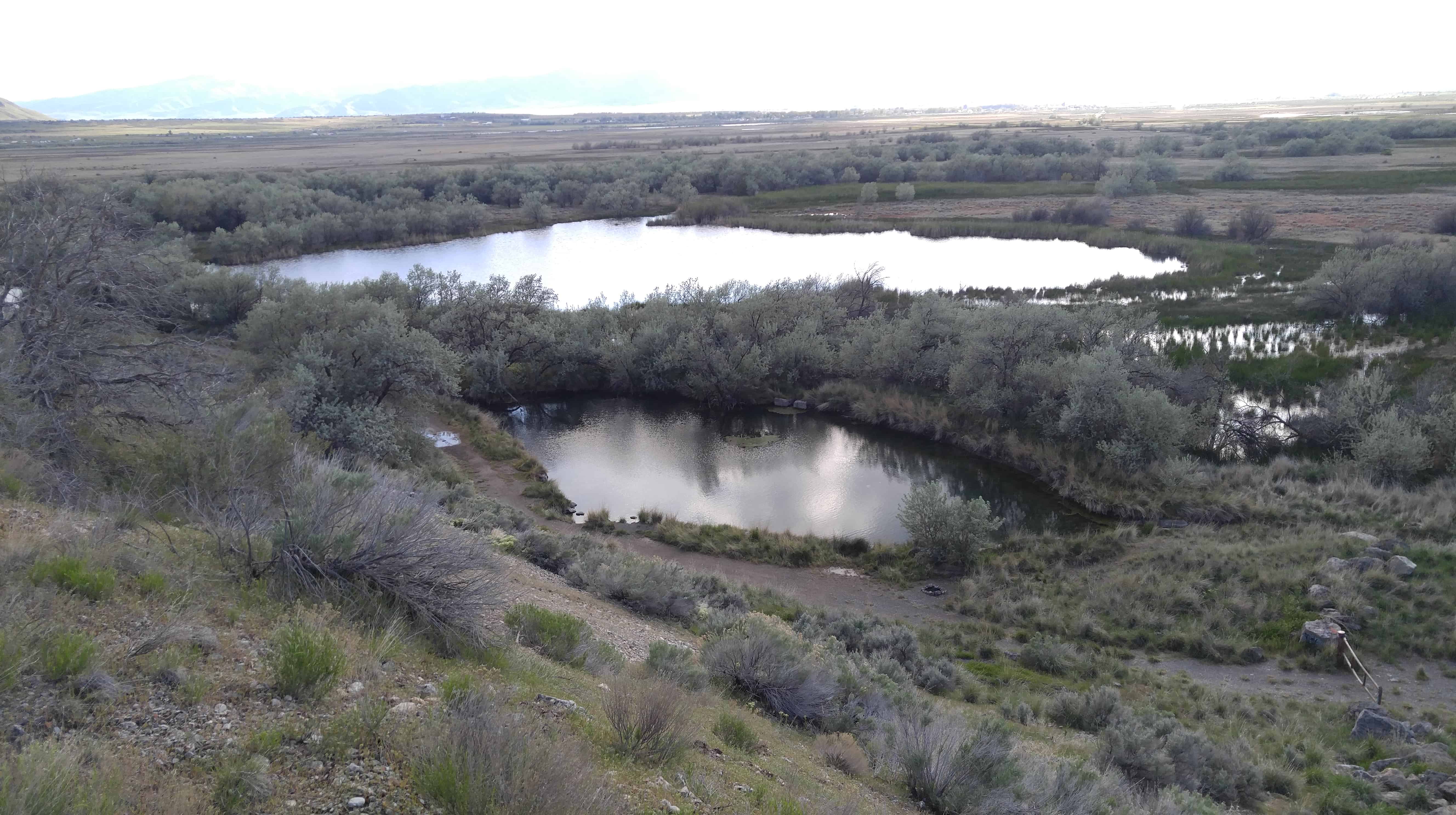
Following serious flooding in 1949, the Summit Creek Canal and Irrigation Company was given approval to construct a reservoir west of the city; on several occasions it has prevented disastrous damage to the community. A diversion dam was completed and more than 10,000 feet of concrete pipe laid in 1971, which proved to be an efficient method of conserving valuable water resources. Irrigation methods changed to sprinkling systems or drip systems, enabling farmers to efficiently irrigate land that was not level, bringing more farmland into production. Natural gas service was brought to Santaquin in 1954, and marked a major development in the modernization of the community.

With the construction of the steel plant at Geneva and the rapid growth in the Provo–Orem area to the north, many fruit farmers relocated to the Santaquin area. Large orchards were planted, replacing wheat fields and pasture land. The construction of huge cold storage facilities for the fruit created many jobs in the community. Another boast to the economy and population came in 1968 with the completion of Interstate 15 through the town.

Grandpa’s Cave

21 Thursday Nov 2013

Posted by Jacob Barlow in Uncategorized

≈ Leave a comment

Tags

Caves, Genola, utah, utah county

Image

When I moved to Genola back in 2006 I started exploring a little and came across this really cool mine/cave.   I learned that it was called “Grandpa’s Cave.”   I just love finding stuff like this.    It has a hole in the top like a small “skylight” and a huge entrance I could have driven into.  One big room and it looked like people enjoyed having campfires in there.

Image
Image

Genola Utah Fire

21 Thursday Nov 2013

Posted by Jacob Barlow in Uncategorized

≈ Leave a comment

Tags

Fires, Genola, utah, utah county

One day in church back in 2006 when I lived in Genola it was announced that the mountain was on fire, we all went out and fought it, I got some cool pictures and I went up and explored a little when it was done.   Here’s the photos.

  • Image
  • Image
  • Image
  • Image
  • Image
  • Image
  • Image
  • Image

Goshen Valley

19 Tuesday Nov 2013

Posted by Jacob Barlow in Uncategorized

≈ 1 Comment

Tags

Elberta, Genola, Goshen, Goshen Valley, Mosida, Santaquin

The Goshen Valley is a 17-milelong valley located in southern Utah County.

A southern arm (Goshen Bay), of Utah Lake bisects the valley, with western shore valley areas extending north to Mosida, at the south end of Lake Mountain.

Adjacent just south of West Mountain is another mountain, Warm Springs Mountain, its western flank is the site of the abandoned mining operation, the Tintic Standard Reduction Mill, (Known as Harold, Utah) and adjacent west is Warm Springs.

Tintic Standard Reduction Mill – Harold, Utah

19 Tuesday Nov 2013

Posted by Jacob Barlow in Uncategorized

≈ 1 Comment

Tags

Elberta, Eureka, Genola, Goshen Valley, Mining, Silver City, utah, utah county

12-5dd8dbf1fa

The Tin-tic Standard Reduction Mill presently stands in partial ruin. Drawings prepared by the HAER survey show front and side elevations, as well as a general plan of the mill’s remains. Enough exists to identify the structure as a mill, and to visualize the procedures involved in the milling process. It remains at the original location, Warm Springs, Utah, some two miles east of the town of Goshen in Utah County. The mill was erected on a hillside for gravity purposes.

Originally the mill contained water tanks, ore bins, crushing rolls, Holt-Dern roasters, iron boxes, leaching tanks, and to the side, drain boxes for lead precipitate. While the actual machinery is gone, the shell of the structure remains.

The Tintic Standard Reduction Mill (Harold Mill) was constructed during the 1919-1921 period by the Tintic Standard Mining Company, under Ernie J. Raddatz, prominent Utah mining entrepreneur. It served as the mill for the Tintic Standard, which became one of the nation’s leading silver producers, operating from 1916 to approximately 1945.

The significance of the mill, in addition to its place as a part of Tintic Standard’s operation, is attributable to its importance in the themes of engineering and industry. W. C. Madge designed and constructed the mill after having consulted with Theodore P. Holt and George H. Bern, Utah developers of the Holt-Dern Roaster. It was built at a cost of $580,000. The Tintic Standard Reduction Mill was the only use of the “antiquated” Augustin process in the United States during the early years of the 1920s. The plant was an acid brine chloritizing and leaching mill. Ore was first roasted with salt, then leached in a strong brine solution and finally precipitated with copper. Recovery rates were fairly high, as in 1924, when the mill recovered 88% of the silver, 60% copper. 32% lead and 7% of the gold held in the ore.

As related to industry, the mill was an important part of Tintic Standard’s operation. In _ addition, the construction of the plant also reflected the battle, then waging, over railroad transportation rates, which mine owners believed were too high. By milling the ore themselves, owners could save the shipping costs. By 1925, the mine could no longer supply ore of the grade for which the mill was designed. Also, by then, shipping rates declined, therefore, in the fall of that year, the plant shut down.

A town grew up near the mill, named “Harold” after Raddatz’s son. Only the site remains, nevertheless, the town site and especially the mill, aids both in the documentation of mining history and also in the affect this operation had upon nearby small fanning communities such as Goshen, causing them to experience “Boom periods” in their development,

Many people driving from Goshen towards Genola and Santaquin see the Mill up on the mountain and wonder what it is, it is quite curious looking.

See also https://ejraddatz.wordpress.com/mining-in-utah/harold-mill/

tintic-reduction-mill-goshen-utah

Here are my photos from a trip on 09 May 2016:

IMG_20160509_184724
IMG_20160509_184557
IMG_20160509_184007

Keigley, Utah

19 Tuesday Nov 2013

Posted by Jacob Barlow in Uncategorized

≈ Leave a comment

Tags

Genola, Keigley, Payson, Santaquin, utah, utah county, West Mountain

  • 2013-07-06 17.22.59
  • unnamed
  • keigley
  • Image
  • Image

Keigley is a quarry and gravel pit between Payson and Genola.

40.0055096-111.8093786

Original Goshen Pioneer Cemetery

19 Tuesday Nov 2013

Posted by Jacob Barlow in Uncategorized

≈ 1 Comment

Tags

Cemeteries, Genola, Goshen, Goshen Valley, utah, utah county

As early Latter-day Saint pioneers came to the Goshen Valley, they settled in areas then known as Sandtown, The Bend, and The Fort. Later, President Brigham Young urged the settlers to form the township of Goshen and predicted that a new highway would be built near the existing cemetery. He instructed the pioneers to relocate farms, homes, and their cemetery to higher solid ground believed to be more fertile. Many moved their cabins, and several of those buried in the original cemetery were interred in the new Goshen Cemetery, located south of the newly established town. No record exists of those whose remains were moved. After 1880, no new burials were made in this cemetery.

The original Goshen Pioneer Cemetery is located 300 yards north of this monument made sacred by the sacrifice of original and native pioneers who gave their all for their faith. The following eighteen men, women, and infants are buried herein: Louisa Jane Bigelow, 1858; Diana Dall, 1859; John Shields Gardner, 1862; William Edward Martin 1865; Julia Ann Gardner, 1865; Riley Stewart, 1866; Gertrude Sorensen, 1868; Henry Lyman Cook, 1869; Hyrum Cook, 1869; Mary Ann Weech, 1873; Mary Ellen Finch, 1876; Soren Christensen Sorenson, 1876; Henry David Dall, 1876; Samuel Weech, 1877; Hyrum Finch, 1879; Annie Marie Sorensen, 1880; Nelce Sorensen, 1880; Soren Sorensen, Jr., 1880. We have not forgotten their lives and determined spirits; they play an important part of a vibrant heritage.

Related: 

  • Current Goshen Cemetery

  • Image
  • Image

Goshen, Utah

19 Tuesday Nov 2013

Posted by Jacob Barlow in Uncategorized

≈ 4 Comments

Tags

Elberta, Genola, Goshen, Goshen Valley, utah, utah county

  • 48c59f34-0033-4d09-a57a-a83b80bd7b33

Goshen is the slowest growing city or town in Utah County and is the smallest city or town in the County by land size and has 952 residents. It was incorporated in 1910. It was previously known as Sodom, Mechanicsville, Lower Goshen and also Sandtown before being named after Goshen, Connecticut by Phineas Cook.

Related:

  • Cemetery
  • Chapel
  • Goshen’s Historic Grist Mill Stone
  • Gymnasium
  • Original Goshen Pioneer Cemetery
  • Post Office
  • Senior Center
  • Goshen posts sorted by address
  • Image
  • Image
  • Image

Genola, Utah

11 Monday Nov 2013

Posted by Jacob Barlow in Uncategorized

≈ 3 Comments

Tags

Genola, Goshen, Goshen Valley, Santaquin, Townsend, utah, utah county

Genola

Previously known as Warm Creek and then Townsend, it was renamed to Genola in 1916 and was incorporated in 1935. There was a Townsend Hotel, a Townsend rock quarry and more named after Byron Townsend but now it is almost all farming and residential.

Lake Road takes you around to Lincoln Beach.

Related:

  • Ekins Quarry
  • Genola Utah Fire
  • Goshen Valley
  • Grandpa’s Cave
  • Tintic Standard Reduction Mill
  • Genola posts sorted by address
Townsend
Townsend, Utah

Image
When I lived there (2006) there was a cool old “Merc” located at N 39° 59.355 W 111° 50.040, it’s gone now.

ingress_20140317_221603_26
I have several pictures of the town from back then, it’s slowly changing so I’m glad I have them.
Image
Image
Image
Image

West Mountain

31 Thursday Oct 2013

Posted by Jacob Barlow in Uncategorized

≈ 4 Comments

Tags

Benjamin, Genola, Palmyra, Payson, Santaquin, spanish fork, utah, utah county, West Mountain

  • West Mountain Observatory
    West Mountain Observatory

West Mountain is a mountain west of Spanish Fork, Palmyra, Benjamin, West Mountain and Salem, it is North of Genola and it is bordered on the west and north by Utah Lake.

  • Image

There are plenty of geocaches up there to keep you entertained, but be careful what time of year you go if you’re going to hike around at all because we call it spider mountain for a good reason, every bush, tree or rock has a spider on it, some bushes have hundreds. That was in July.

There’s a fun road that takes you up to the top, it’s a dirt road but it’s graded and you can take pretty much anything up there.

  • 5968880557_abc7b2eb71_z
  • 5969442752_30d4c7c179_z

Follow Jacob

Follow Jacob

Social and Other Links

BarlowLinks.com

Blog Stats

  • 752,239 hits

Recent Posts

  • 245 S 600 E
  • Murray City Library
  • 60 W Center St
  • 509 W 300 N
  • 1497 N State St

Archives


Loading Comments...