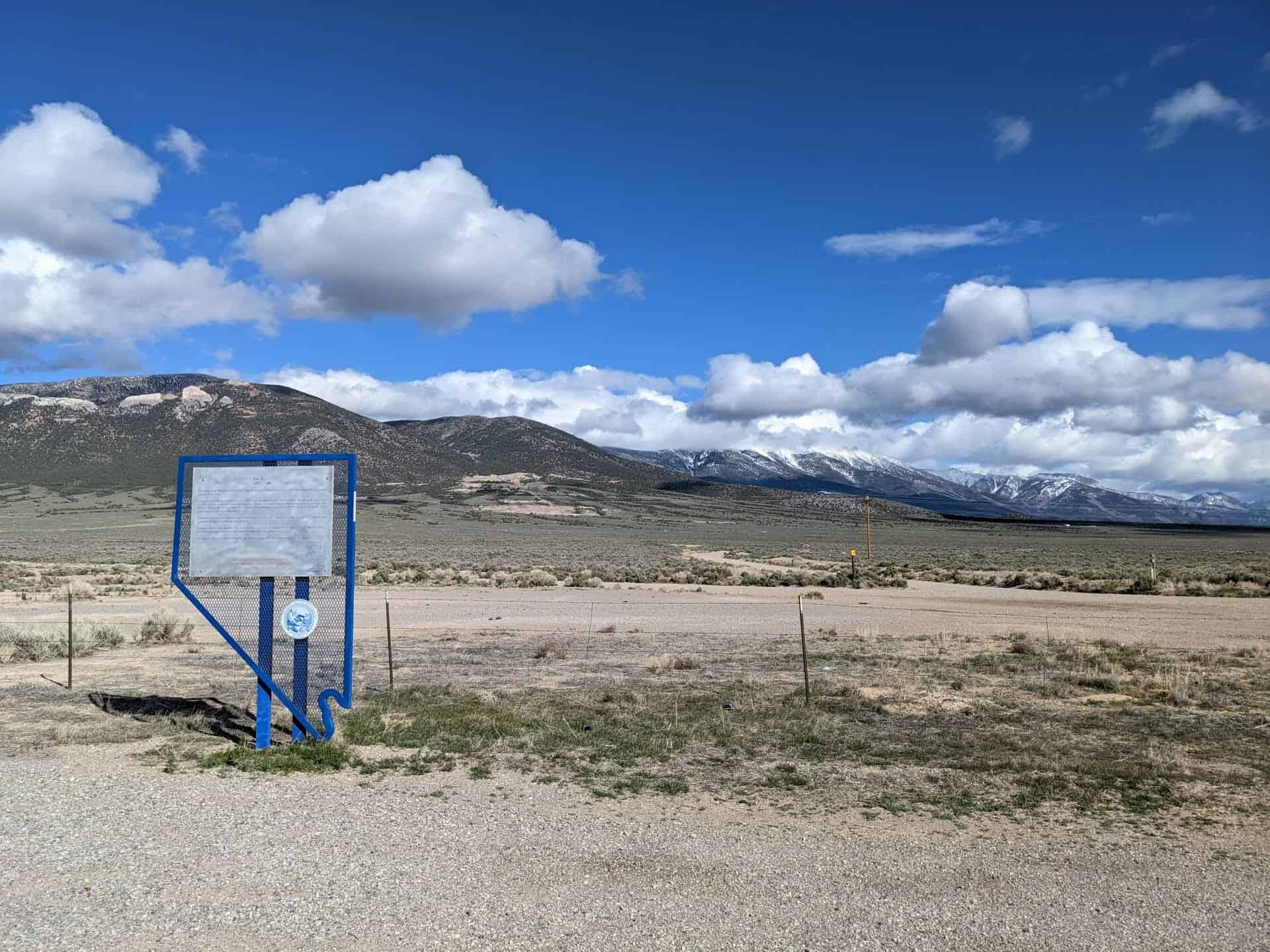
John and Olivia Ferguson discovered gold twelve miles south of here around 1891. The original name of the camp they established was Ferguson. However, it was eventually renamed “Delamar” after John DeLamar, an entrepreneur who bought the best mining claims in 1893 for $150,000. Eventually, over 1500 residents settled in this isolated place. The town contained a newspaper, hospital, school, churches, saloons, stores, a theater and professionals. Entertainment included brass bands, dance orchestras, and stage attractions at the opera house.
Water came from Meadows Valley Wash 12 miles away. All other materials were hauled through the mountains by mule team 150 miles from a railroad head at Millard, Utah. For 16 years, most of the bullion was hauled out in the same manner.
The dry milling processes used prior to the introduction of wet methods created a fine silica dust, or “death” dust, causing the deaths of many residents and gave the town its nickname, “The Widow Maker”.
Delamar produced $25,000,000 in gold and was Nevada’s leading producer at the turn of the twentieth century.
This is Nevada State Historical Marker #90, located on Highway 93 west of Caliente, Nevada. See others on this page:
Joshua trees are native to the arid southwestern United States (Arizona, California, Nevada, and Utah) and to northwestern Mexico. Seedlings can grow up to three inches per year for the first ten years. After that, their growth slows down to about 1 1/2 inches per year. Joshua trees can grow as tall as 49 feet with roots reaching down to 36 feet below ground. The trees grow from seeds although sometimes they sprout from rhizomes (rootstalks) which spread out from the parent tree. The tree flowers from February to late April. However, like most desert plants, it does not flower every year. In order to produce flowers, they need a winter freeze before they bloom and rainfall at the appropriate time. The trunk of the Joshua tree consists of thousands of small fibers and lacks annual growth rings which makes it difficult to determine the tree’s age. However, if the trees survive the rigors of the desert, they can live 100s of years, and some can live up to 1000 years.
Osceola, most famous of the White Pine County gold producers, was one of the longest-lived placer camps in Nevada.
The gold-bearing quartz belt found in 1872 was 12 miles long by 7 miles wide. Placer gold was found in 1877 in a deep ravine indenting the area. Miners first used the simple process of the common 49” rocker. Hydraulic monitors later were used to mine the gold from the 10’ to 200’ thick gravel beds. One gold nugget found was valued at $6,000.
Osceola was a good business town because of its location near the cattle and grain ranches and gardens in the Spring and Snake Valleys.
Famous district mines were the Cumberland, Osceola, Crescent and Eagle, Verde, Stem-Winder, Guilded Age, Grandfather Snide, Red Monster, and the Saturday Night.
The camp produced nearly $5 million, primarily in gold, with some silver, lead, and tungsten.
This is Nevada State Historical Marker #98, see others on this page: – Nevada Historic Markers
Crystal Spring was used as a watering place and campsite on an alternate route of the Mormon Trail in the mid-nineteenth century. The town site was designated as the provisional County Seat for Lincoln County in 1866. With the intention of organizing the new county, Governor Henry G. Blasdel left Carson City in April 1866, accompanied by over 20 people. After a perilous journey through Death Valley, California, they ran out of supplies and food. One man died; the others survived on lizards and other desert animals. The Governor and another man raced to Logan City to obtain supplies and returned lathe party so they reached Crystal Spring. The Governor found that the region lacked the number of voters necessary to meet the requirements to become a county. A year later the county government was organized at Hiko.
This is Nevada State Historical Marker #205, see others on this page: – Nevada Historic Markers
Pahranagat Valley is named after a local Shoshone Native American Tribe. Three local springs fill the valley’s lakes, which farmers have used for irrigation since the mid-nineteenth century.
In the late 1860s, outlaws pastured hundreds of head of stolen cattle in the valley meadows.
In 1865, ore was discovered in the area. The following year, a stamp mill was established at Hiko, twenty miles to the north to crush the ore. Hiko became the center of activity for the valley and the county seat between 1866 and 1871, when local mining declined and Pioche claimed the county seat.
The valley received international notoriety in 1867 when Dan De Quille of the Territorial Enterprise published an article titled “The Rolling Stones of Pahranagat,” about magnetic traveling stones. De Quille was notorious for publishing comedy and satire, sometimes mistaken by his readership for truth. In this case, De Quille described these round stones as having a magical quality that, when scattered on the floor, would immediately began travelling toward a common center. De Quille published similar articles on the stones in 1876, 1879, and 1892.
The town of Alamo before you, established in 1900, is the valley’s largest present-day settlement. Watered by Pahranagat Creek, the area includes several ranches and the Pahranagat Valley National Wildlife Refuge.
This is Nevada State Historical Marker #38, see others on this page: – Nevada Historic Markers
The 37th degree north latitude marked at this point the dividing line between the territories of Utah and New Mexico under the provisions of the Compromise of 1850, which originally organized the land ceded by Mexico in 1848.
When the territory of Nevada was carved from western Utah in 1861, this line became the southern boundary of the new territory and continued to serve as such when the territory and state were enlarged by extensions to the east in 1862 and 1866, respectively.
In 1867, the Nevada legislature approved the action of Congress to add the portion of the territory of Arizona which lay to the south of this line, west of the 114 degree west longitude and the Colorado River, and to the east of the boundary of California. This action, taken on January 18, 1867, gave the state of Nevada the permanent boundaries as they are today.
This is Nevada State Historical Marker #58, see others on this page:
Original Homesite of a Las Vegas Pioneer Charles “Pop” Squires 1865-1958
Charles “Pop” Squires, often referred to as “the Father of Las Vegas,” lived at this location, with his wife Delphine, from 1931 until his death in 1958.
Squires first arrived in the Las Vegas Valley in February 1905. He and his partners established a lumberyard, a tent hotel, a real estate firm, and the First State Bank. In March 1906, “Pop” assisted in the formation of the Consolidated Power & Telephone Company, bringing electricity and phone service to the new town.
In 1908, Squires and his wife purchased the community’s only newspaper, the Las Vegas Age. Squires campaigned for the creation of Clark County in 1909. He subsequently worked on incorporating Las Vegas into a city. With his wife and the voice of their newspaper, the couple became advocates for women’s suffrage. As a member of the League of the Southwest and the Colorado River Commission, Squires helped advance plans that eventually led to the construction of Hoover Dam.
Upon “Pop’s” passing, Las Vegas Sun reporter Bob Faiss wrote, “It seems strange that Las Vegas, a modern boomtown … should owe so much to the foresight of one man. But there is little we have today that wasn’t given an initial shove by ‘Pop’ Squires.”
This is located at 400 South 7th Street, Las Vegas, Nevada.
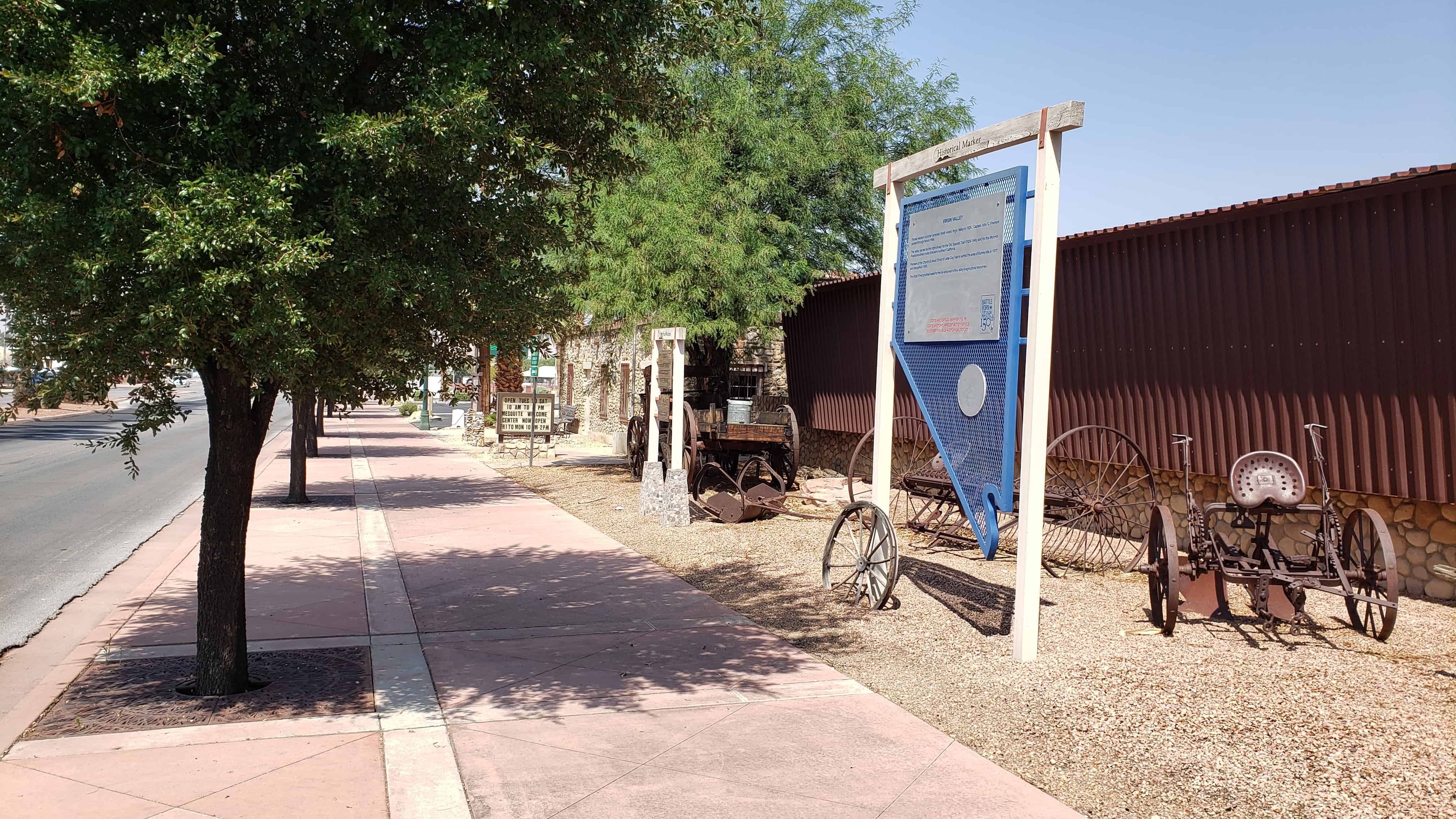
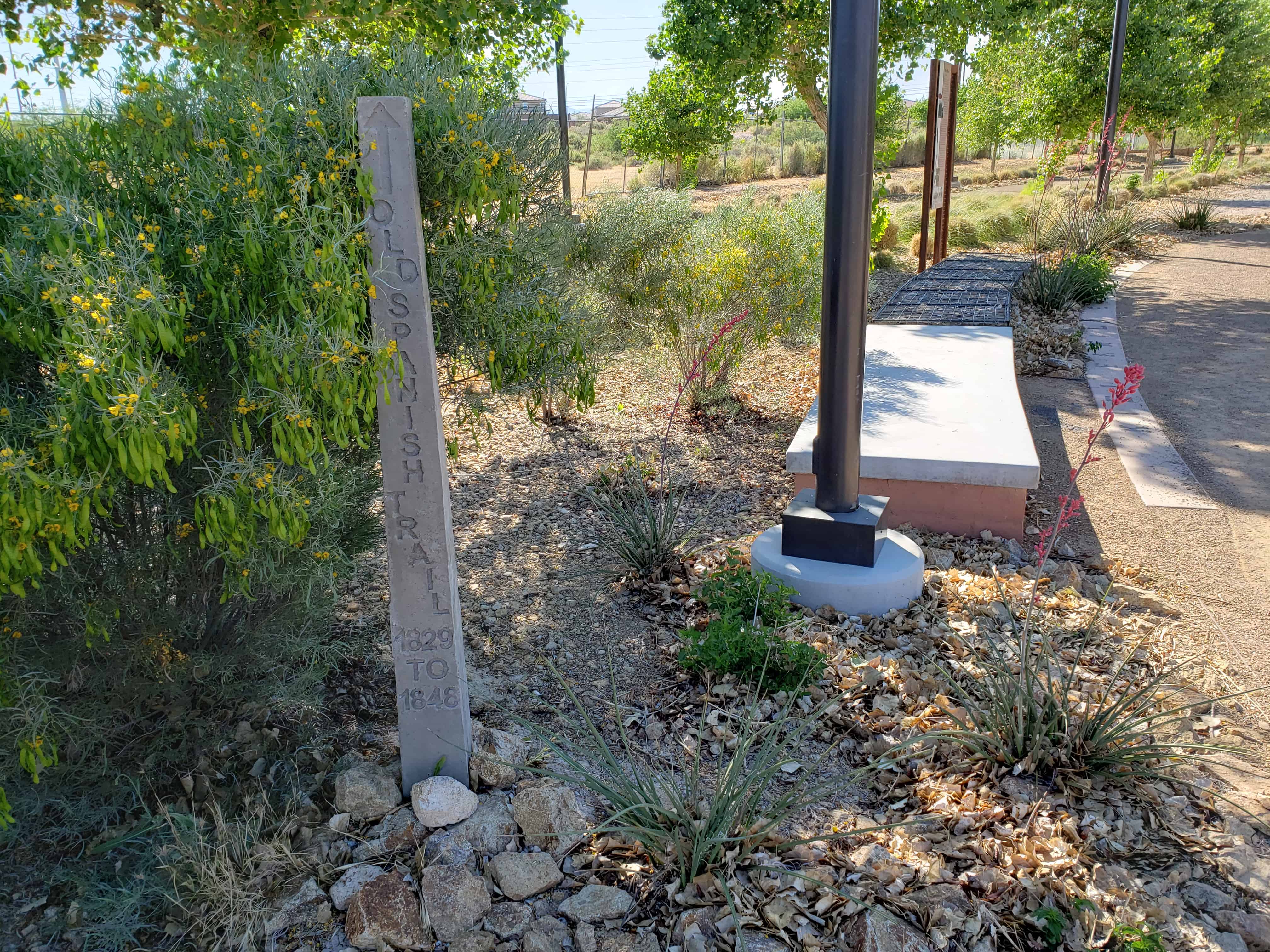
The valley served as the right-of-way for the Old Spanish Trail (1829-1848) and for the Mormon Road or southern route of travel to southern California.
Pioneers of the Church of Jesus Christ of Latter-Day Saints settled the area of Bunkerville in 1877 and Mesquite in 1880.
The Virgin River provided water for the development of the valley’s agricultural resources.
Nevada Historic Marker #56, located at 15 West Mesquite Blvd in Mesquite, Nevada.
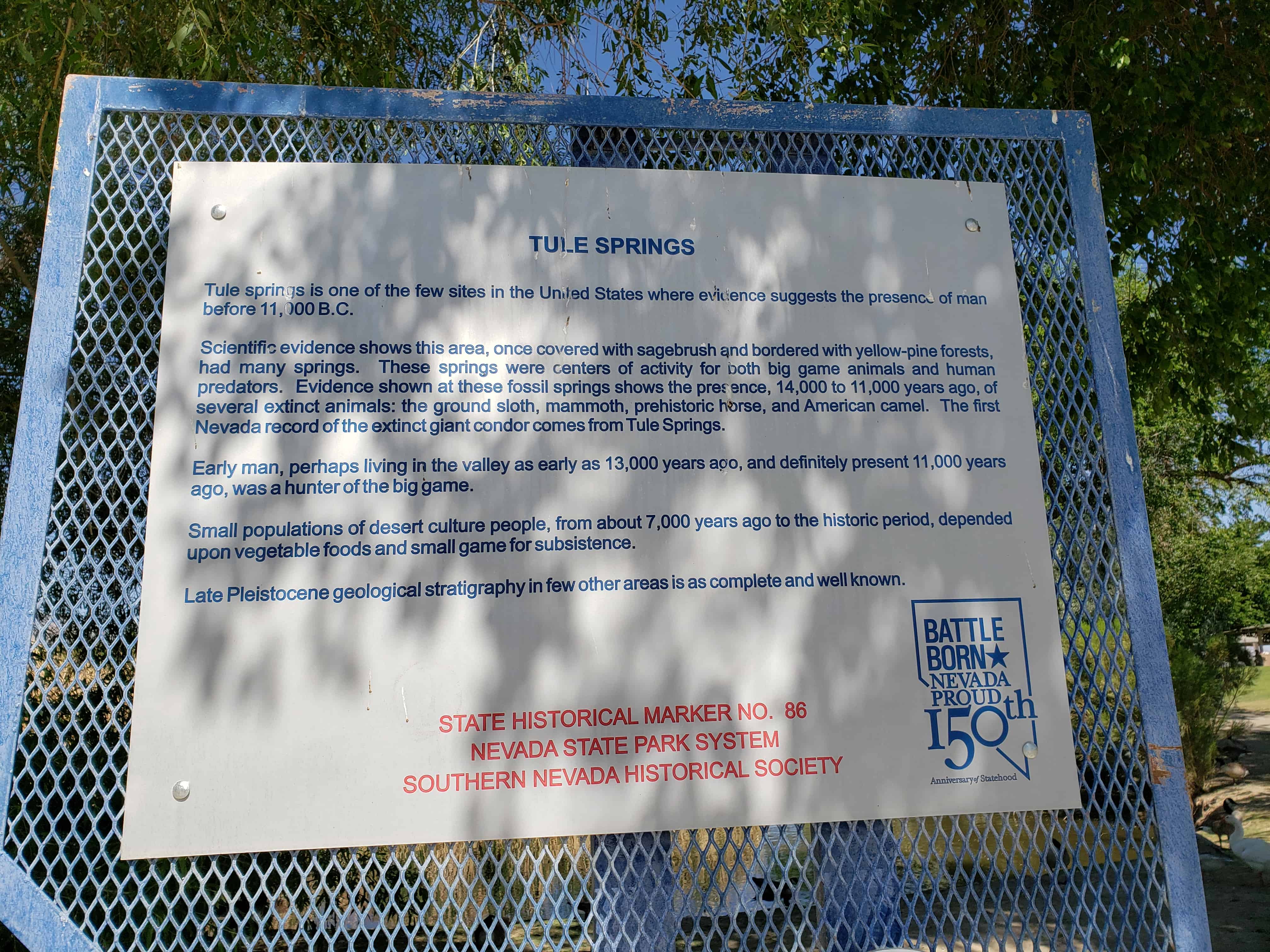
Tule Springs is one of the few sites in the U.S. where evidence suggest the presence of man before 11,000 B.C.
Scientific evidence shows this area, once covered with sagebrush and bordered with yellow-pine forests, had many springs. These springs were centers of activity for both big game animals and human predators. Evidence found at these fossil springs shows the presence, 14,000 to 11,000 years ago, of several extinct animals; the ground sloth, mammoth, prehistoric horse and American camel. The first Nevada record of the extinct giant condor comes from Tule Springs.
Early man, perhaps living in the valley as early as 13,000 years ago, and definitely present 11,000 years ago, was a hunter of the big game.
Small populations of desert culture people, about 7,000 years ago to the historic period, depended upon vegetable foods and small game for subsistence.
Late Pleistocene geological stratigraphy in few other areas is as complete and well known.
State Historical Marker No.86 (see others on this page) Nevada State Park System Southern Nevada Historical Society
The Morelli House, relocated and restored by the Junior League of Las Vegas and placed on the National Register of Historic Places on June 3rd, 2012. (#11001086)
Located at 861 E. Bridger Ave in Las Vegas, Nevada
The Morelli House is a classic example of Las Vegas, mid-century, residential architecture. It was built in 1959 by the Sands Hotel orchestra leader, Antonio Morelli, and his wife Helen. Originally located at 52 Country Club Lane in the former Desert Inn Country Club Estates, now the Wynn Resort, the modernistic house then featured an open plan that integrated interior and exterior spaces, natural materials, and the latest innovative home appliances. In 2001, the Junior League of Las Vegas related the Morelli House to its present site and completed restoration in 2009.
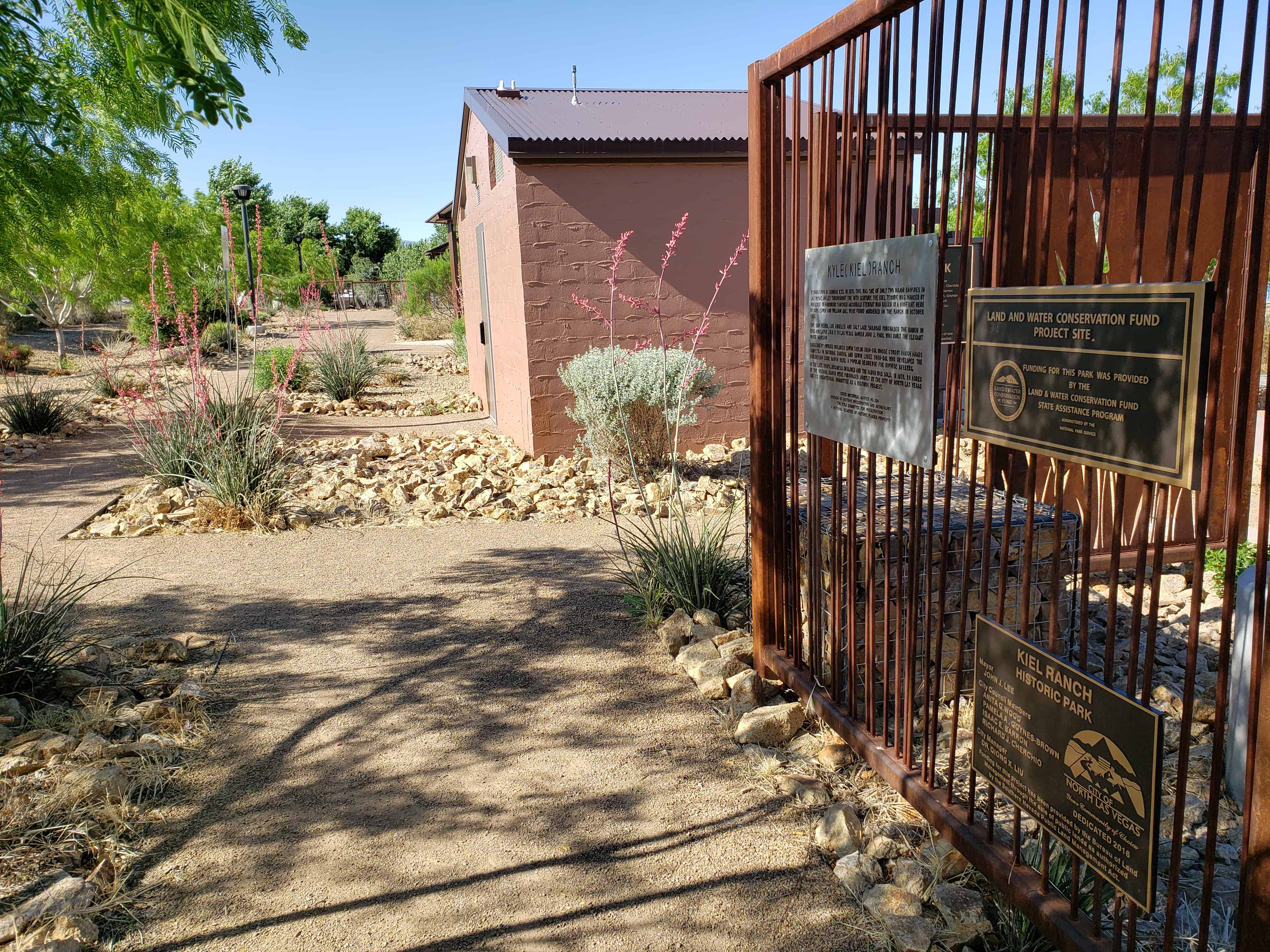
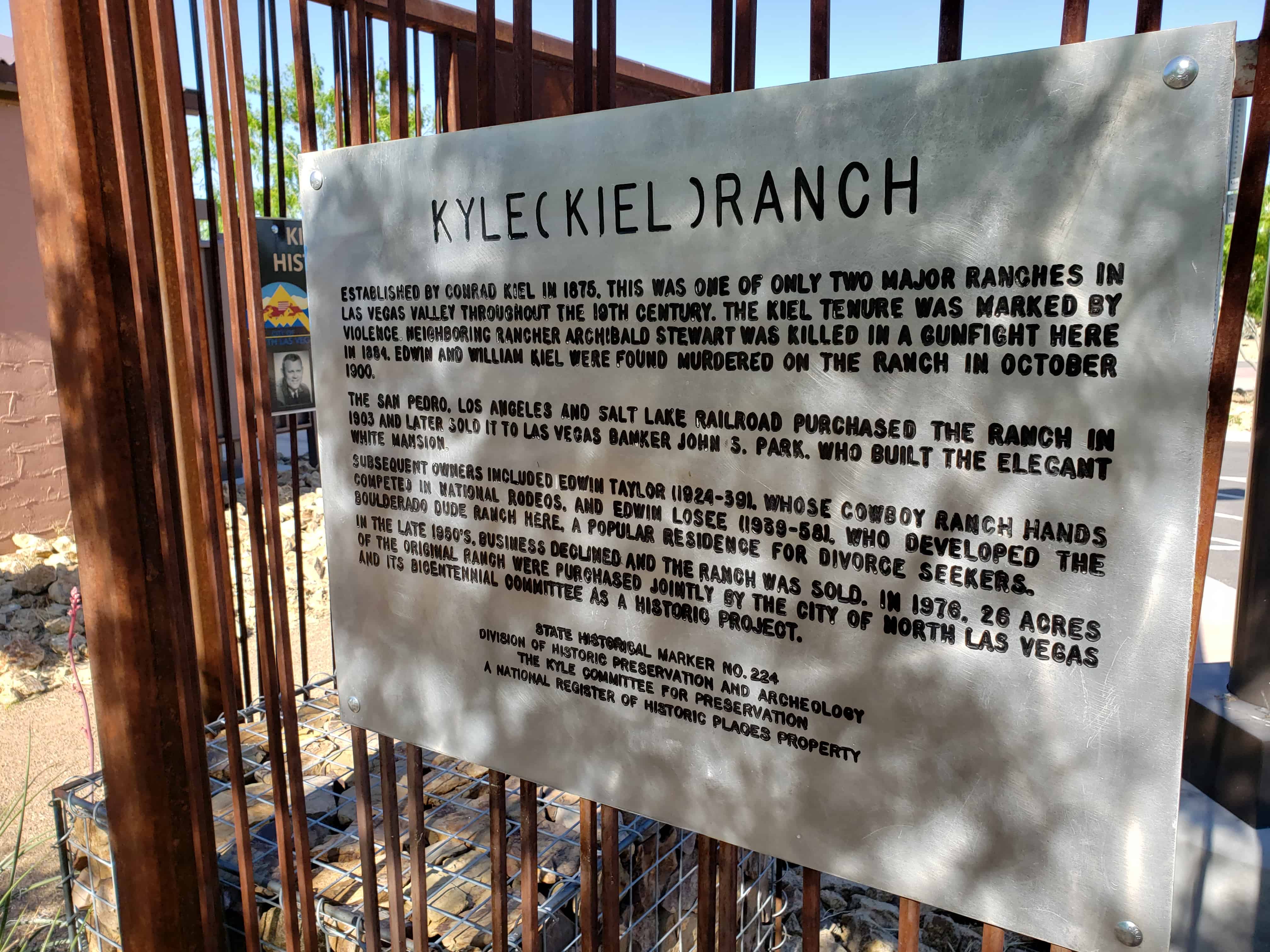
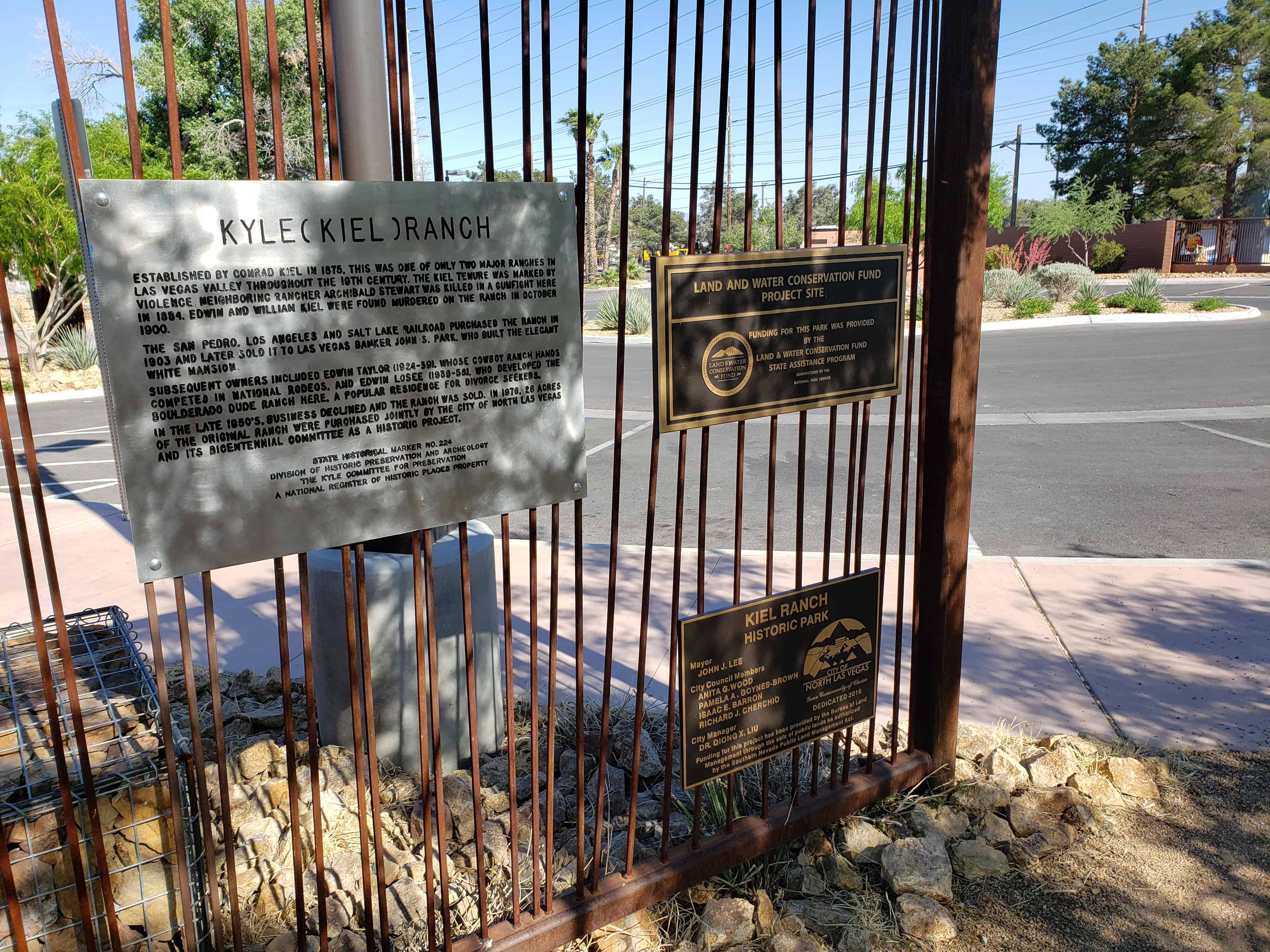
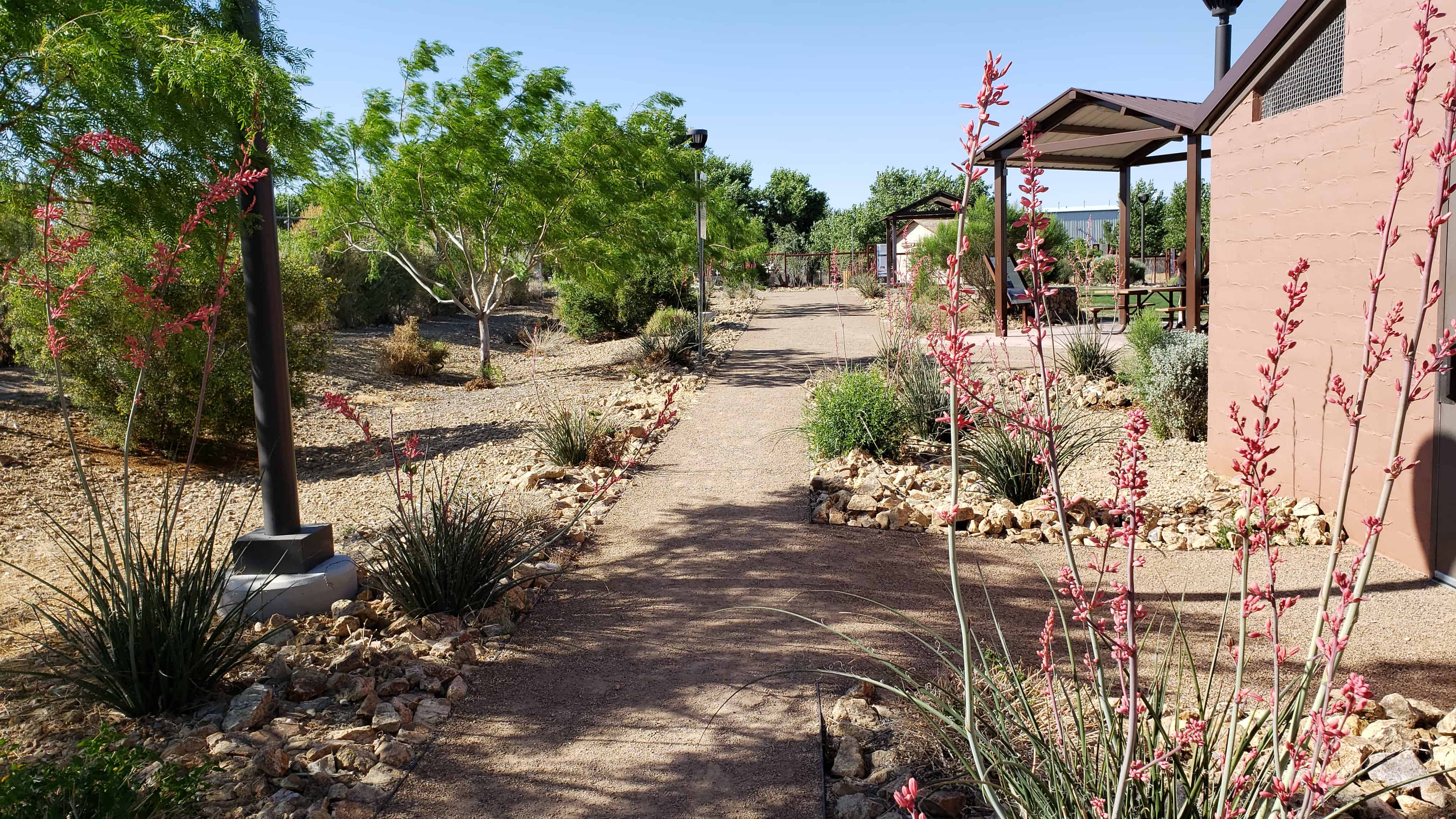
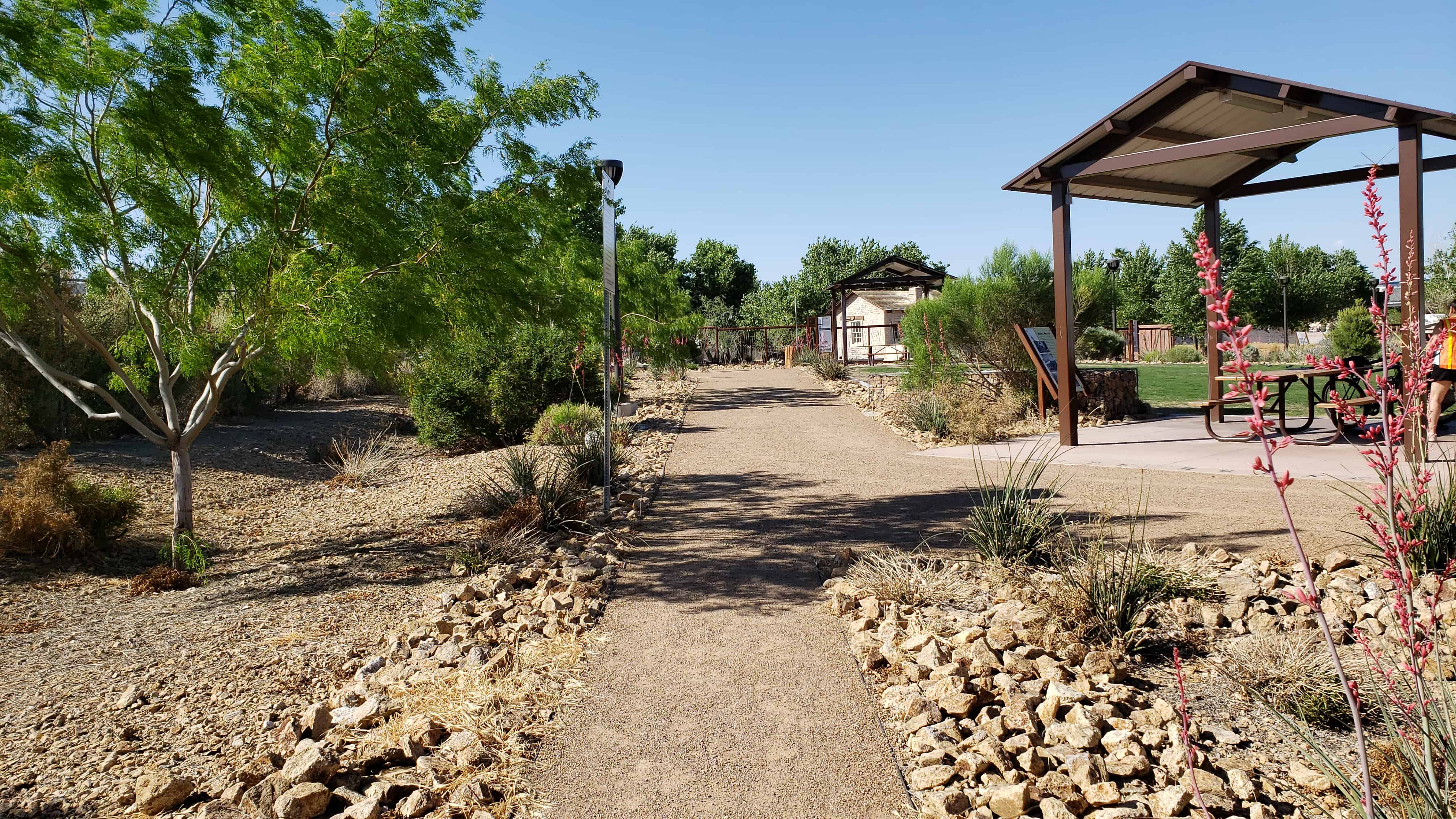
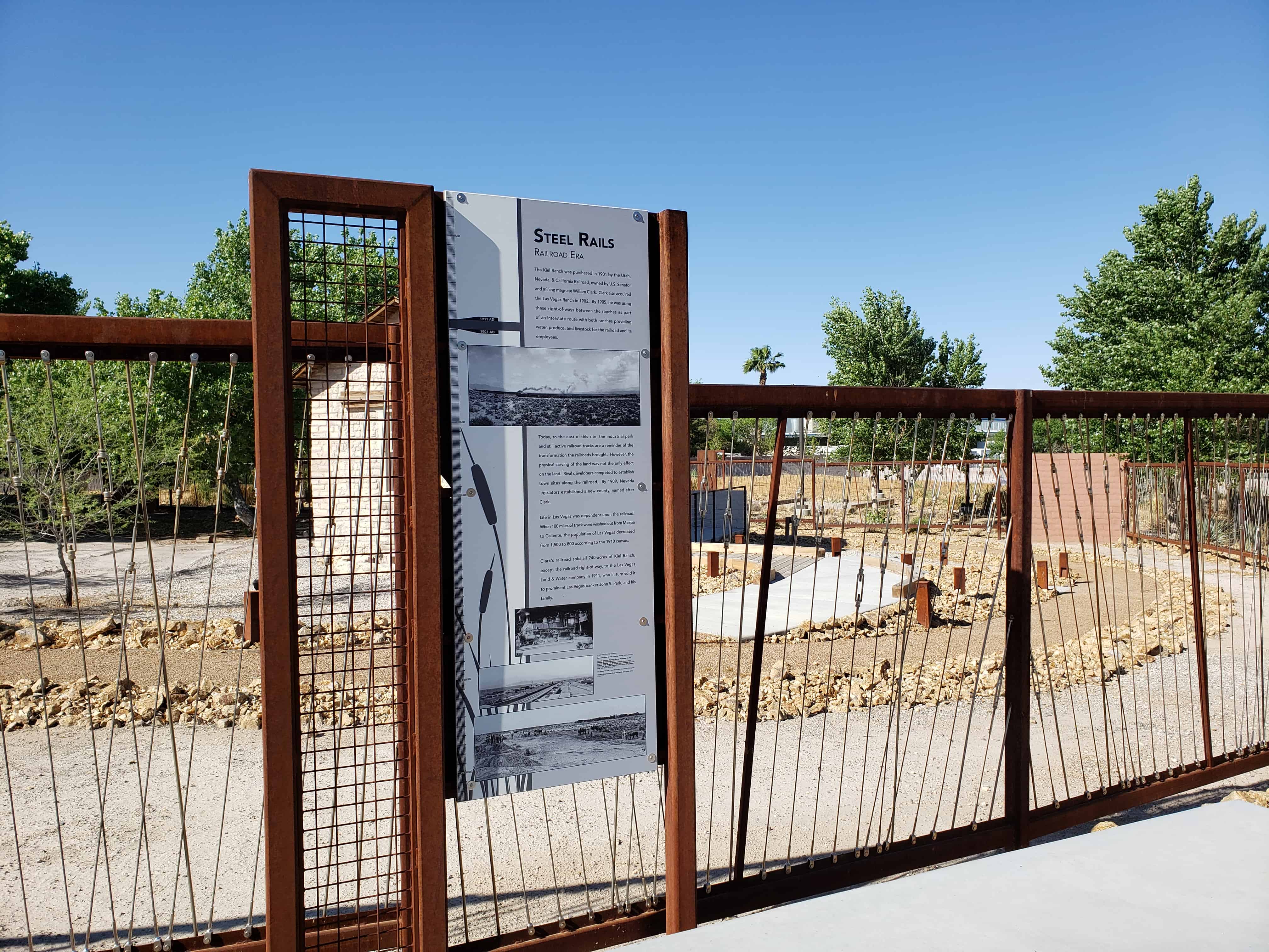
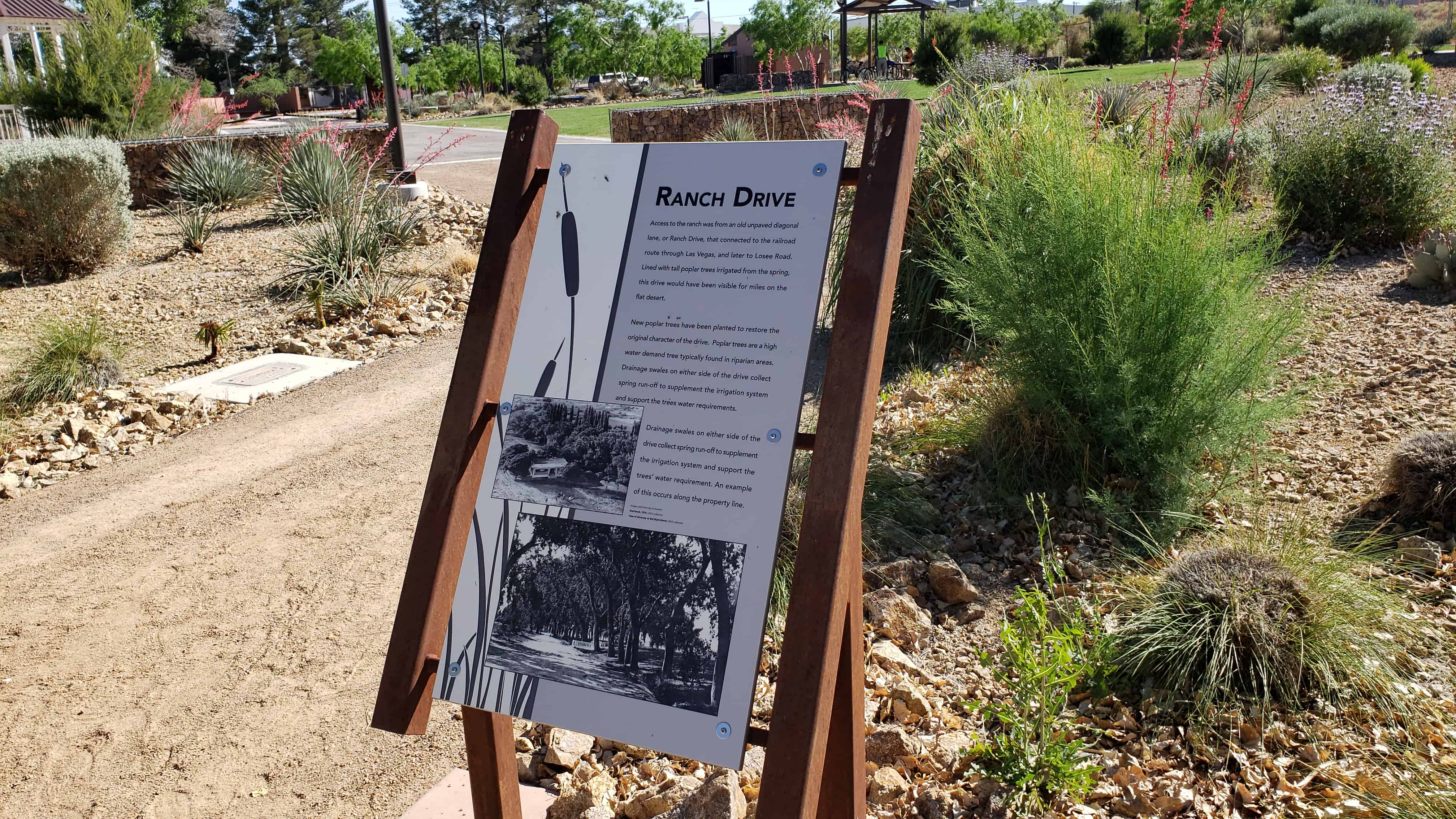
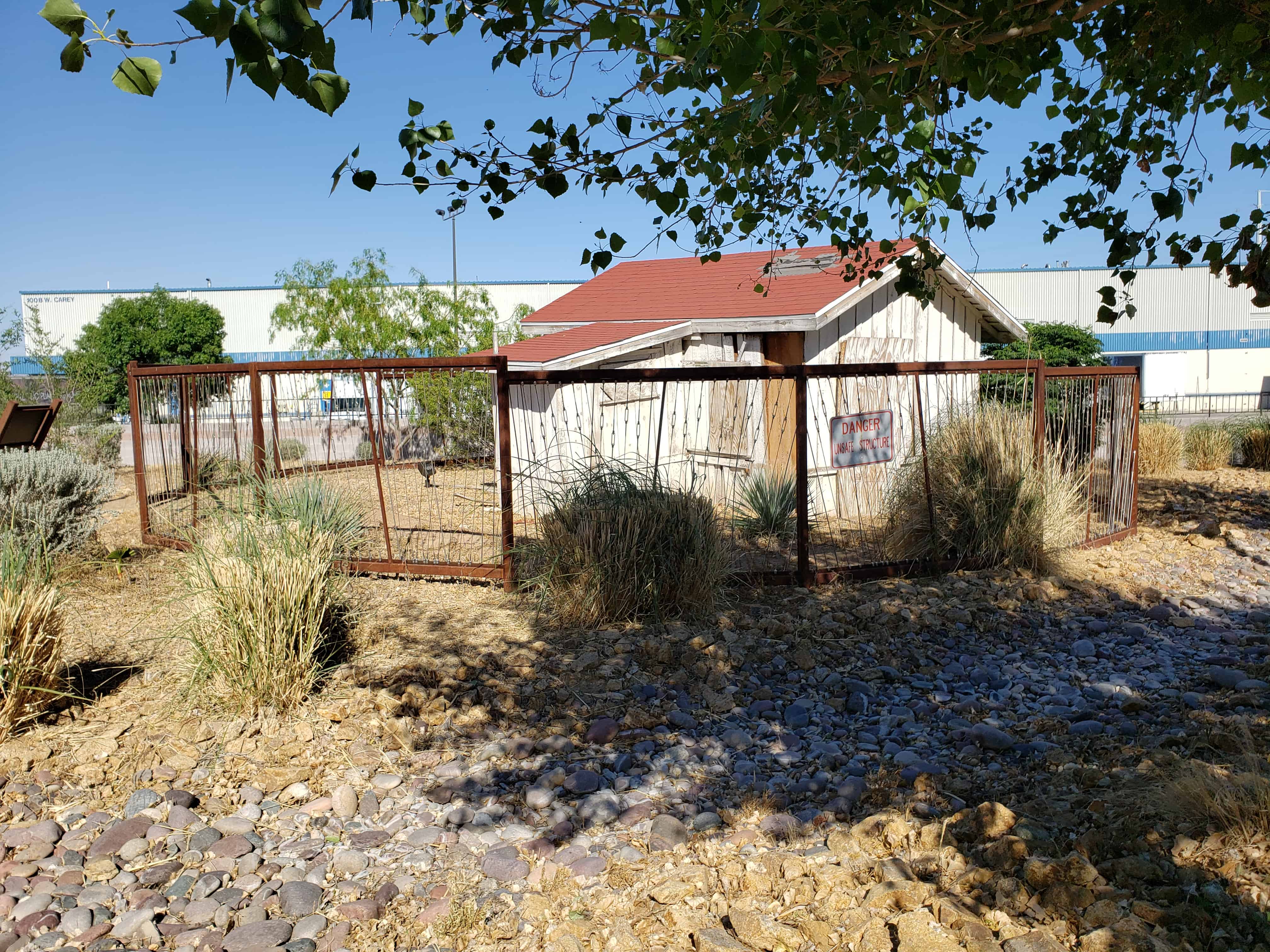
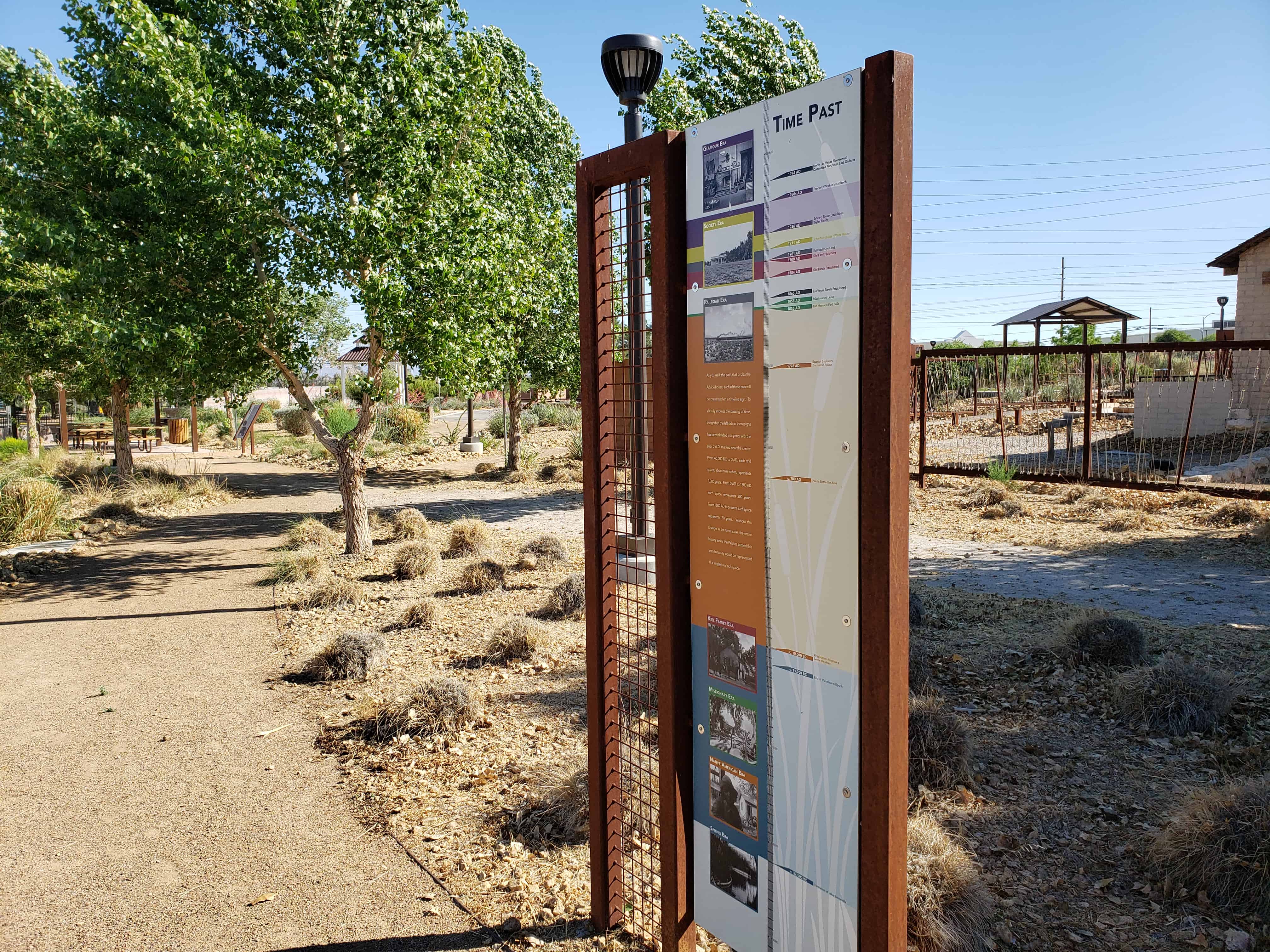
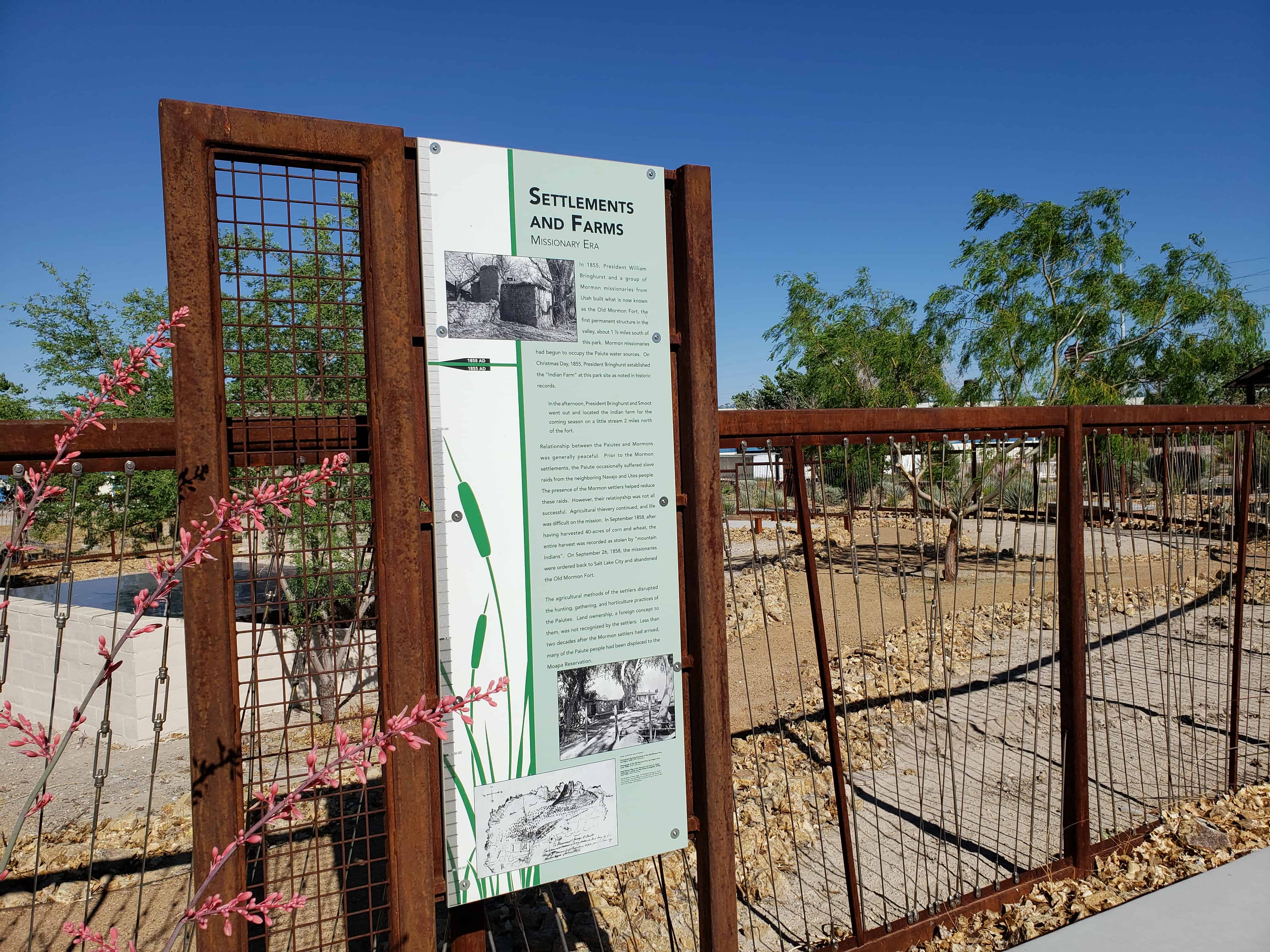
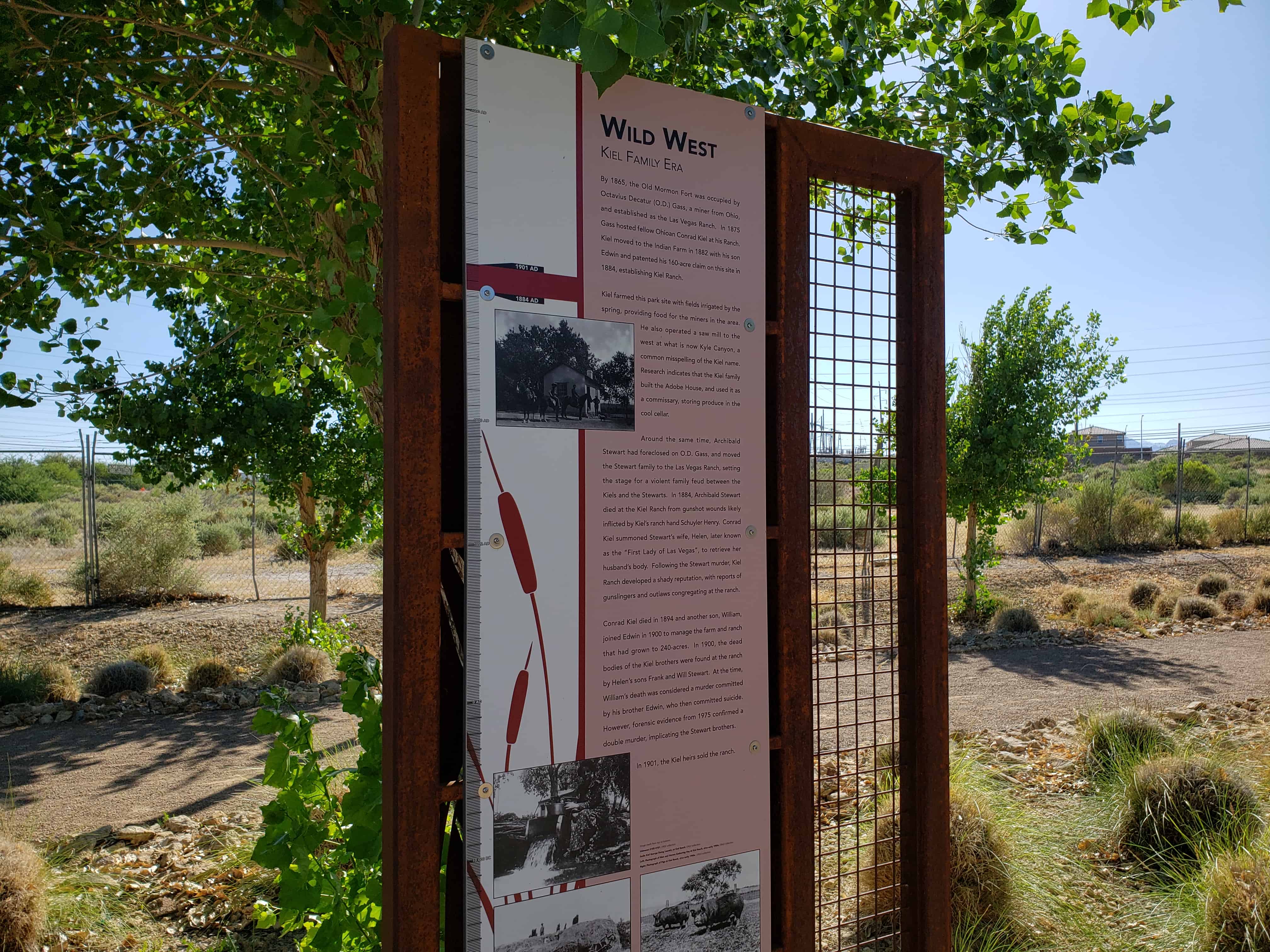
Established by Conrad Kiel in 1875, this was one of the only two major ranches in Las Vegas Valley throughout the 19th century. The Kiel tenure was marked by violence. Neighboring rancher Archibald Stewart was killed in a gunfight here in 1884. Edwin and William Kiel were found murdered on the ranch in October 1900.
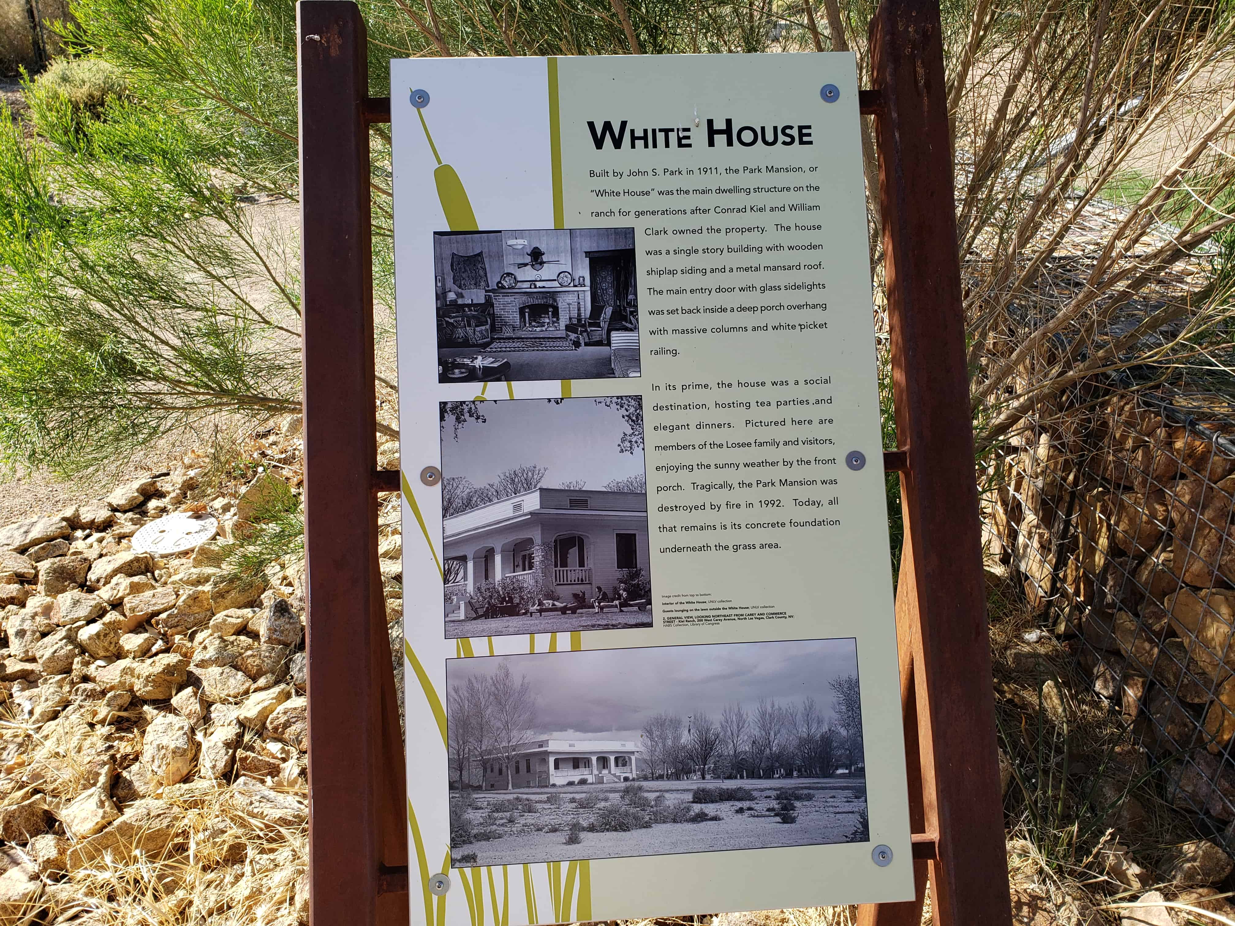
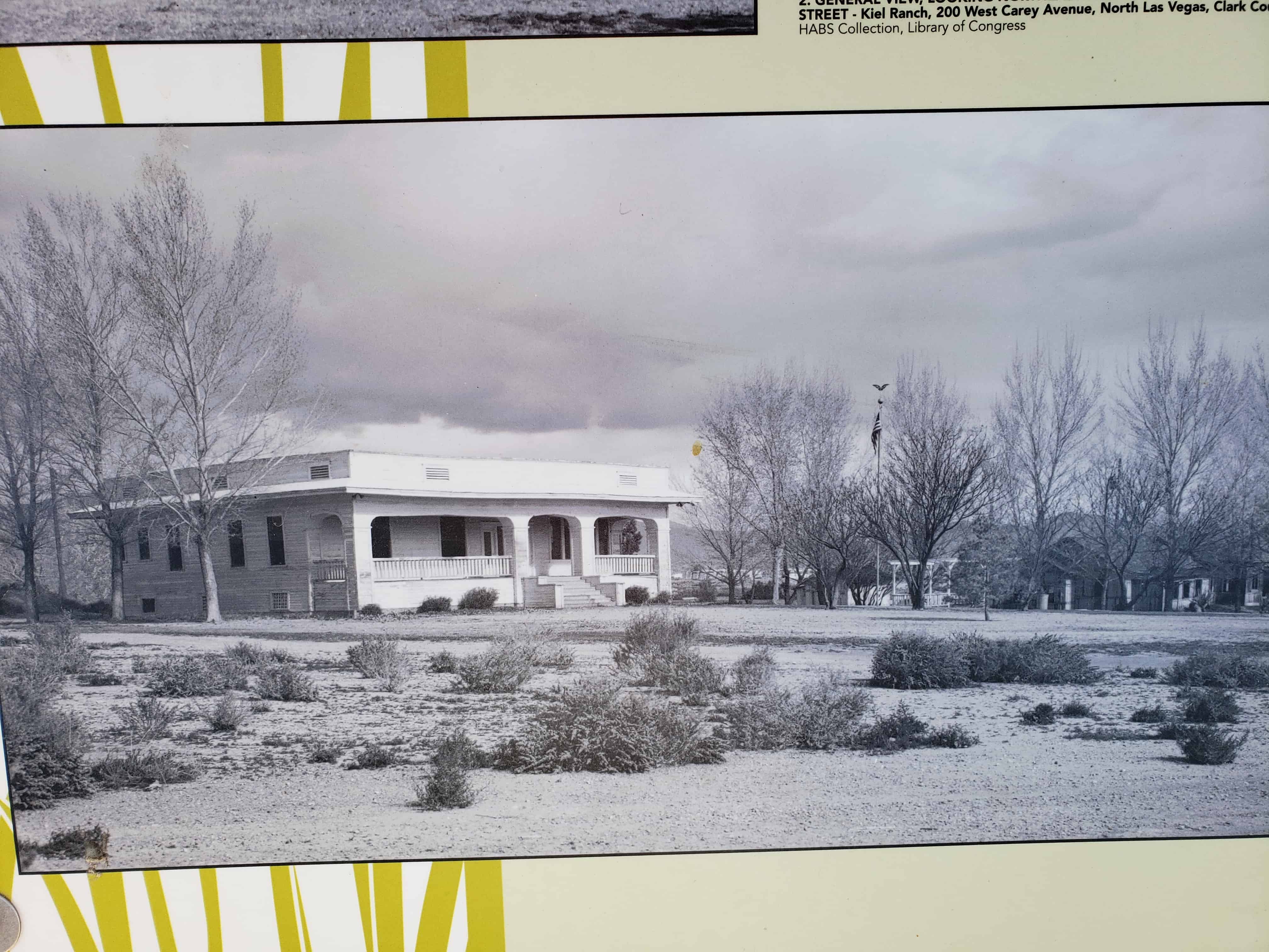
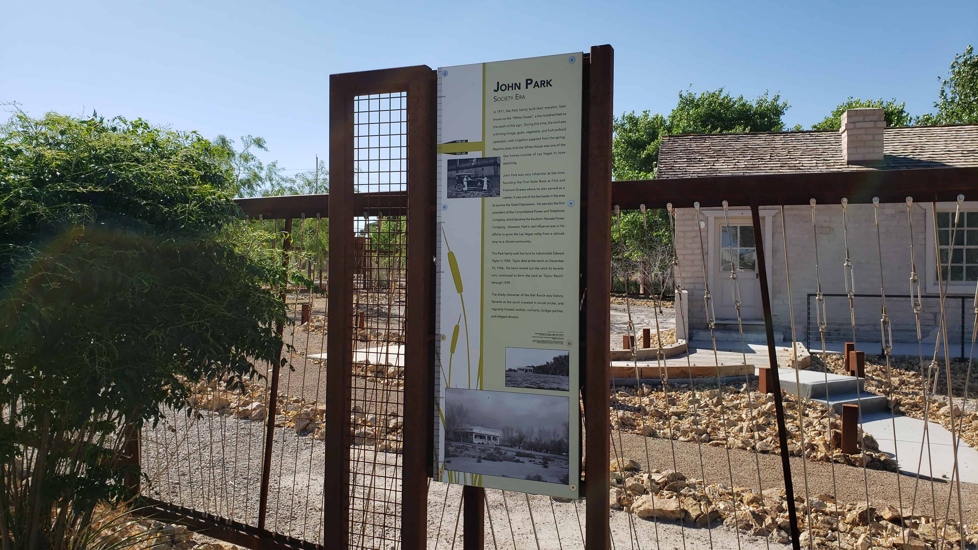
The San Pedro, Los Angeles and Salt Lake Railroad purchased the ranch in 1903 and later sold it to Las Vegas banker John S. Park, who built the elegant white mansion.
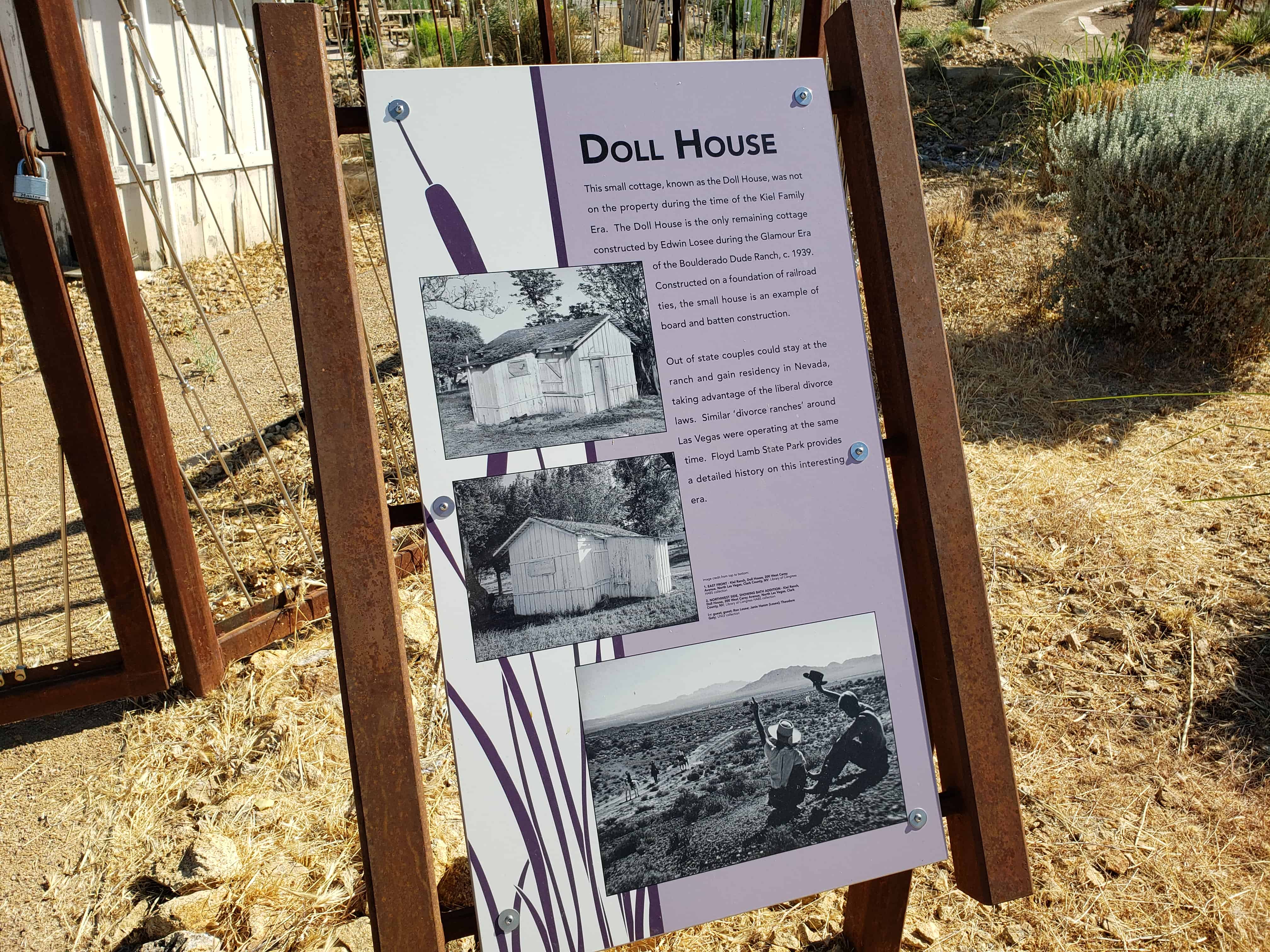
Subsequent owners included Edwin Taylor (1924-39), whose cowboy ranch hands competed in national rodeos, and Edwin Losee (1939-58), who developed the Boulderado Dude Ranch here, a popular residence for divorce seekers.
In the late 1950’s, business declined and the ranch was sold. In 1976, 26 acres of the original ranch were purchased jointly by the City of North Las Vegas and its Bicentennial Committee as a historic project.
The Ranch was added to the National Register of Historic Places (#75001107) on October 6, 1975 – the nomination form said:
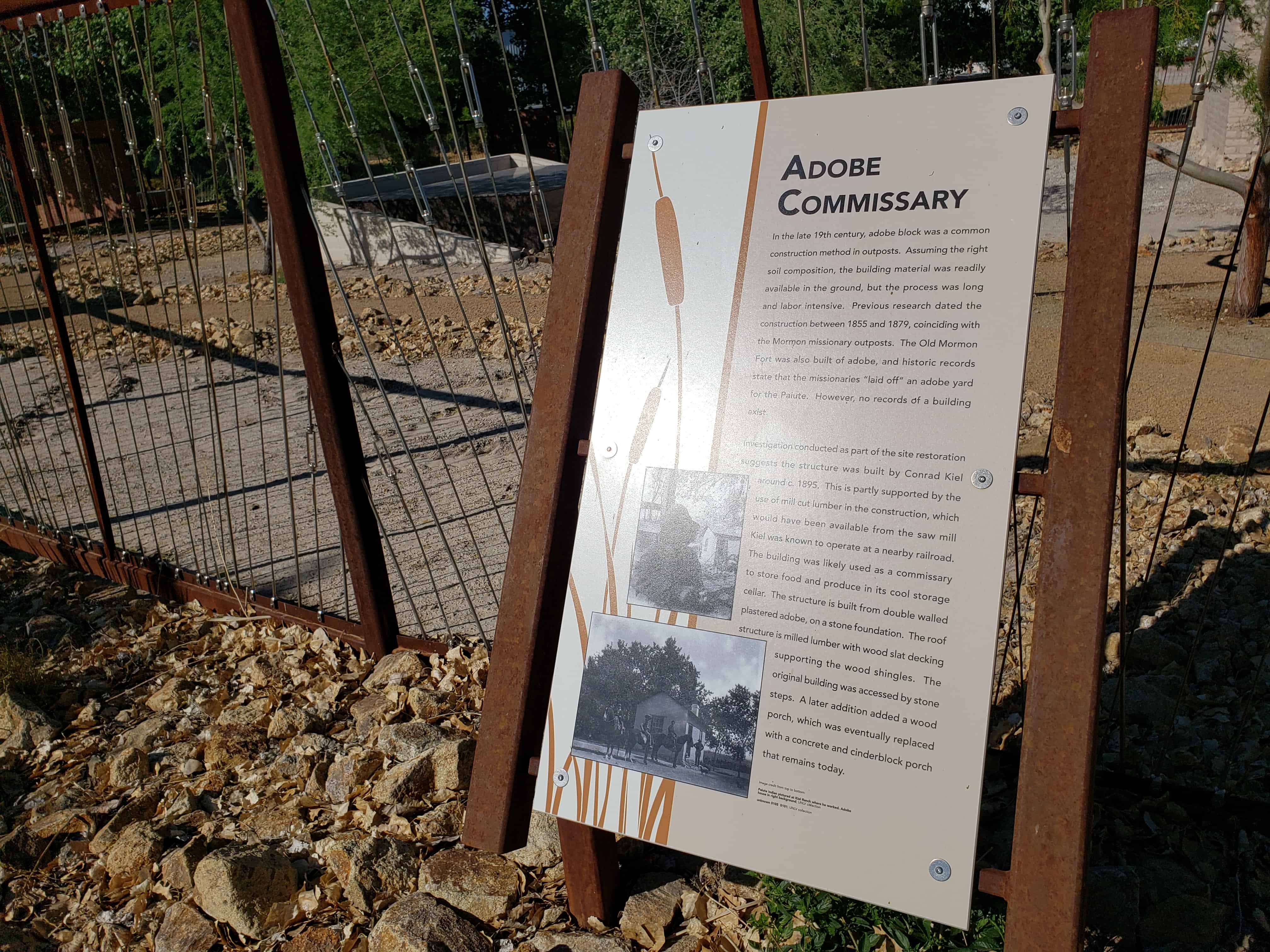
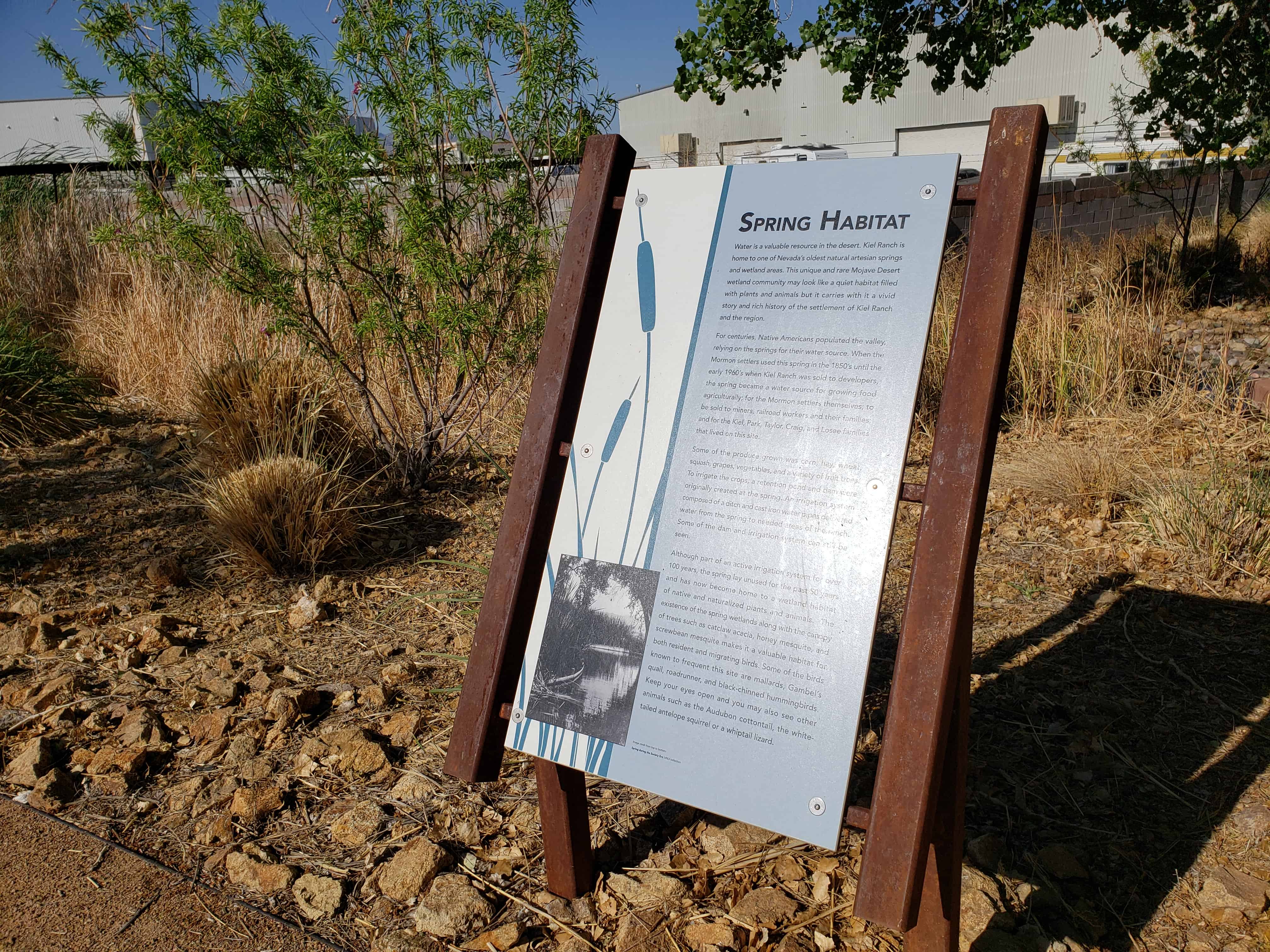
When Conrad Kiel and his sons opened the trading post at the ranch, it gave the mining camps to the south and east a much needed source for supplies and helped initiate Las Vegas Valley as a center of commerce for southern Nevada. Water from the springs on the ranch made it possible to grow hay for beef cattle and dairy cows, raise horses and grow limited amounts of wheat for their own use. They planted vineyards and produced wine for sale to the miners throughout the area. The adobe hut they constructed and used as a trading post remains as a dwindling example of adobe construction, one of only three in the Las Vegas Valley dated to this era.
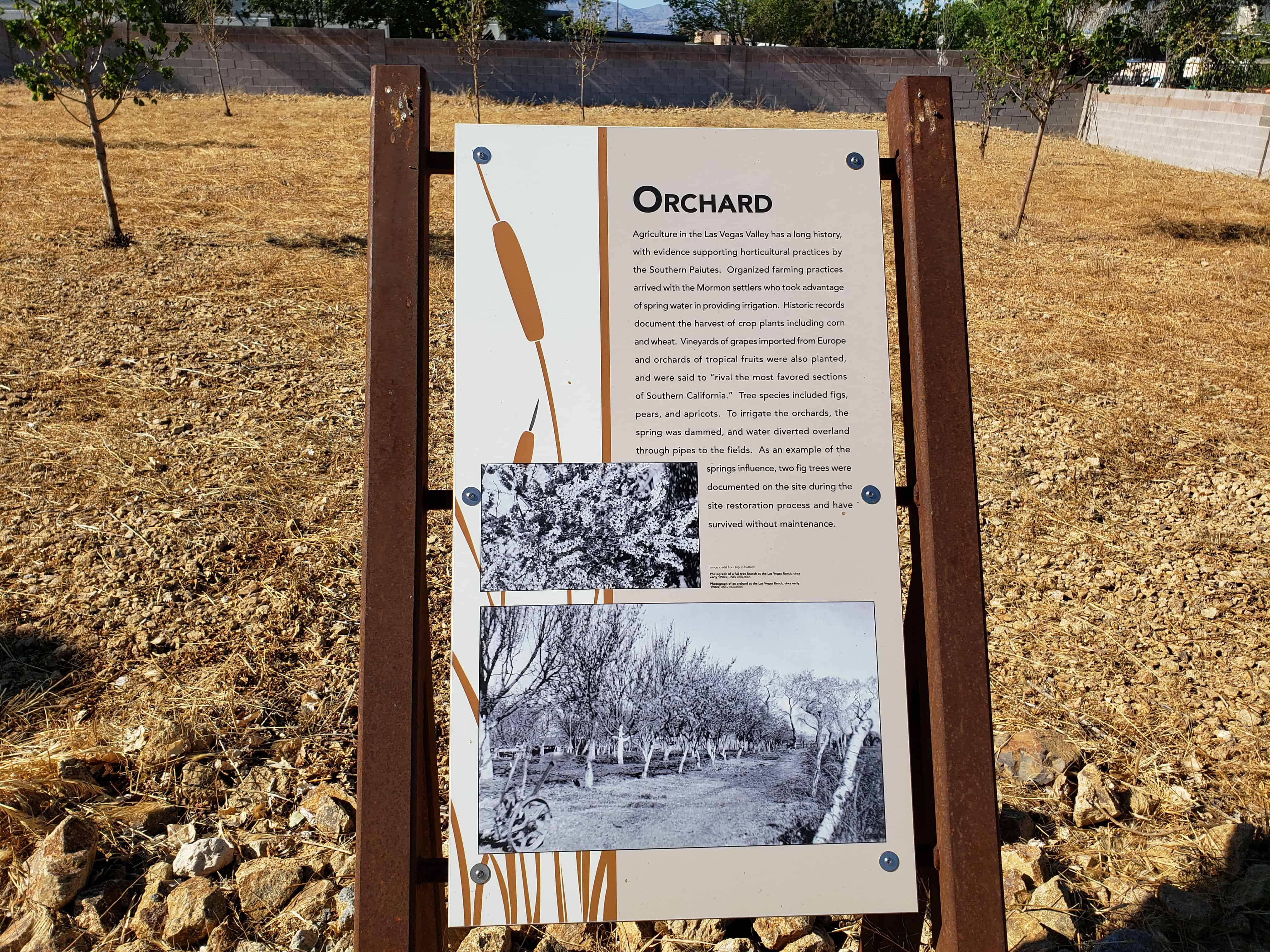
Senator William Clark bought the ranch in 1903. He wanted the water for his Salt “Lake Railroad. As plans for rail connections to the rich mining^areas in Tonopah and Rhyolite progressed, Las vegas attained greater significance as a rail hub. Soon the ranch was producing fresh fruit for communities along the rail routes, as well as for local residents. There were orchards of pears and apricots, melon fields and vineyards of several grape varieties imported from Europe. To facilitate irrigation, Clark had the spring dammed and constructed a small reservoir. Extending from the reservoir was a rather sophisticated network of concrete channels carrying water for the orchard and vineyards. Some of the pear trees and portions of a concrete channel remain today.
About 1910, John S. Park constructed for Senator Clark the large ranch house (White House) that is the principle remaining structure on the ranch. The house was a marked departure from the existing structures in the valley. While towns such as Goldfield, Tonopah and Rhyolite were expounding their riches with up-to-date hotels and banks, Las Vegas had remained primarily a tent community with only a scattering of false-front wood structures. This house, featuring central heating from a furnace in the cellar, interior plumbing and spacious rooms, helped bring a sense of permanency to the community.
With the burgeoning interest in nostalgia spurred on by the country’s bicentennial celebration, the ranch has become a point of interest for educational groups. The Department of Anthropology, University, of Nevada, Las Vegas, recently exhumed the remains of three persons from the burial plot found on the ranch and have them under study. The White House will be restored as a museum, both for itself and to contain artifacts of the area. It will serve the educational programs of the local schools and historical society.
Social humanitarian significance-for years the Kyle Ranch had been the social center of Las Vegas though known by different names. At one time there was a small theater on the ranch for quests; however, on further inquiry, we deem that it has “no particular historic significance.”
Description:
The original adobe brick hut, the seven, frame houses, a cement block house, various outbuildings, and a swimming pool form the core of a guest ranch considered to be, at one time, the showplace of the entire southwest.
The “Showplace” description was justified despite the fact that no one building was an architectural masterpiece nor were the grounds the work of a master landscape architect. What justified the description were the well-maintained buildings set amid equally we11-maintained grounds, orchards and vineyards. Beyond the borders of the ranch stretched the vast, barren Mojave Desert and the crude village known as Las Vegas just over the brow of a nearby hill.
Recently urban growth encroached on the ranch and in 1966 ranching operations were abandoned. An ever-lowering water table dried the surface spring. The city of North Las Vegas utility department drilled a well and pumped the remaining subterranean water into the city system. The ranch then returned to desert and fell prey to encroaching sands and vandalism.
The property was purchased by the city of North Las Vegas Bicentennial Committee and it is under the administration of the city of North Las Vegas, Department of Parks and Recreation. Cleanup of the site has begun; .restoration of historic structures and demolition of non-historic ones are planned. The object is to develop a historic park to explain local history.
Since its beginning, the ranch has been known by the following names:
1. Indian Ranch
2. Kiel Ranch (“Kyle” is actually a misnomer; however, it is the name by which it is known locally.)
3. Park Ranch
4. Taylor Ranch “Boulderado”
5. Losee Ranch
Descriptions of the buildings:
1. Adobe hut-a two-room adobe brick structure, one story high with a cellar. The gable end roof has rolled asphalt sheathing over cedar shingles. No records show the original roofing, but it is presumed to be willow bundles sealed with clay, as was the practice in southern Nevada at that time. A narrow stoop across the front appears to be a later addition and is also constructed of adobe brick. Light was admitted by two small windows on the north and east sides; entry was via one door. The cabin was built in 1867 by Paiute Indians under the direction of Conrad Kiel and his son, Edward. They were later joined by Kiel’s other son, William. They lived’ in the cabin until 1894 when the father died. It continued to be occupied by Edward and William until Edward shot William and then himself in 1900. This building will be restored as a display model.
2. White House-built by John S. Park, Manager of the Las Vegas Land and Water Company. The company was formed by Senator William Clark to acquire land and water sources for his San Pedro, Los Angeles and Salt Lake Railroad. He acquired the ranch from the Kiel estate in 1903 and Park began construction of a large, single story, frame house with clapboard siding in 19/07. The style is unique, with a deep porch under a common roof across the front. The structure features a high, semiopen cellar underneath and a double roof separated by a crawl (vent) space. The lower roof is of hip-frame construction and the upper structure is a flat built-up roof. The house is in poor condition, appearance wise, but it is structurally sound. It will be rehabilitated and utilized by the city of North Las Vegas, Department of Parks and Recreation as a museum of local history.
3. Brown House-In 191/0, Dr. William Park, son of John Park, finished constructing the large frame guest house, then known as the Willow House. The style, like that of the White House, is unique as there are two houses connected by an enclosed passageway. The structure has a gable roof. Vertical board and batten siding are broken by horizontal accent strips above and below the windows and across the toe of the gables. Roofing material is asphalt shingles overlaid on wood shingles. Both the roof and supporting structure are in poor shape. Tentative plans call for restoration of this six-bedroom house.
4. Foreman’s House-Fourteen years after construction of the Brown House, the next structure was constructed by Edwin Taylor, a new owner. This is a simple gable end frame structure with a large glass and screen porch across the front. The siding is vertical board without battens. Roofing is rolled asphalt over shingles. This structure and the adjoining ranch hands house will be torn down as being without architectural or historical merit.
7. Blue House-This was originally a schoolhouse. It was moved onto the site, enlarged and converted into a duplex by Edwin Losee in 1939. It is a single story, frame structure with a gable roof, board and batten siding on three sides and clapboard on the third. Roofing is rolled asphalt and felt. The house is in poor condition and will be demolished as not having historical or architectural merit.
6. Cement Brick House-Another duplex built in 1939 by Edwin Losee. It is similar in outline to the Blue House, but features a full porch across the front as part of the concrete slab under the structure. The styling is Western Ranch. A simple rectangle with a low pitch roof featuring a massive cement lock chimney serving both sides. Window frames and mullens are metal hinged to open from the sides. The structure is in poor condition and will be torn down as it does not have historical or architectural merit.