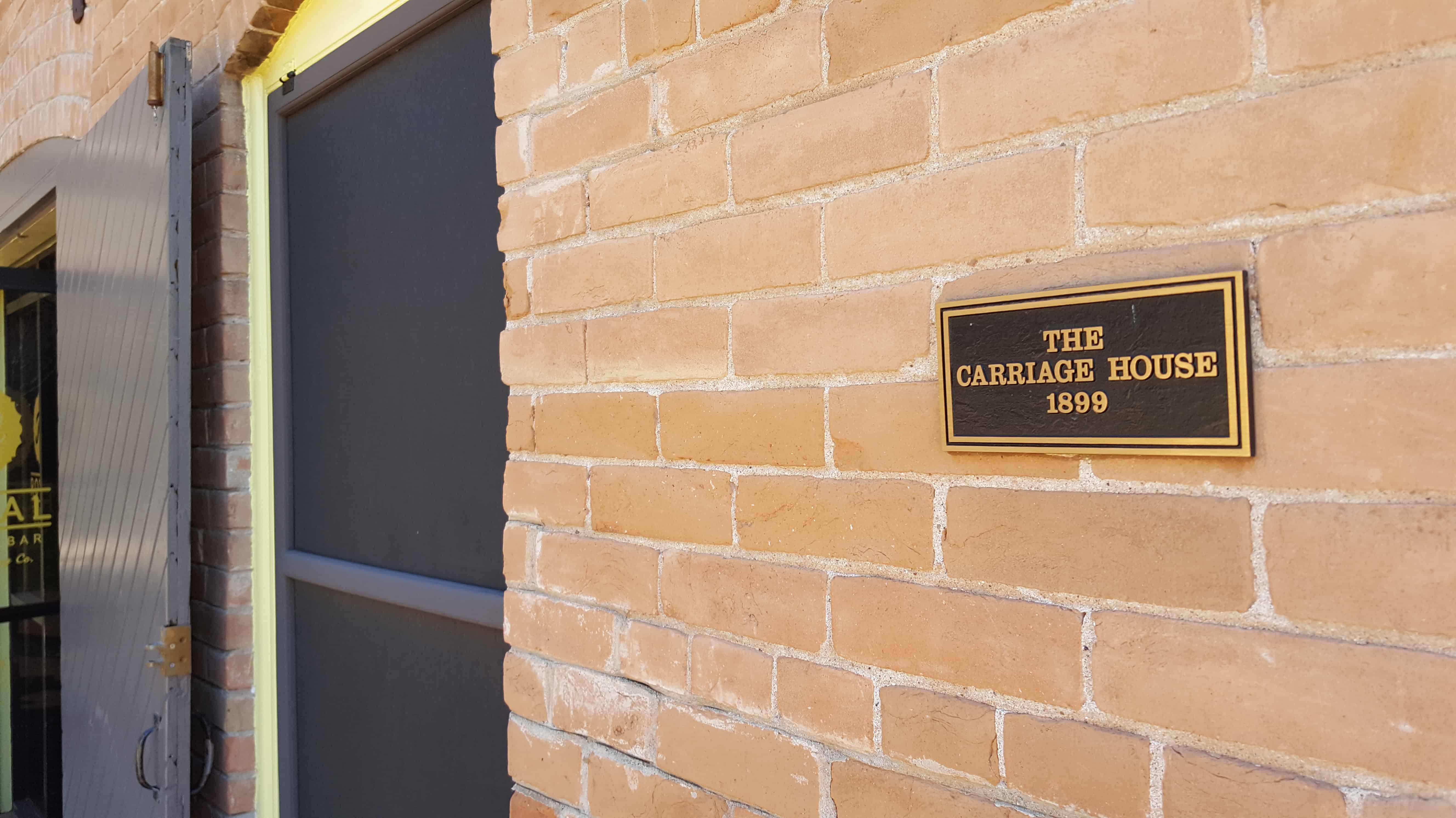
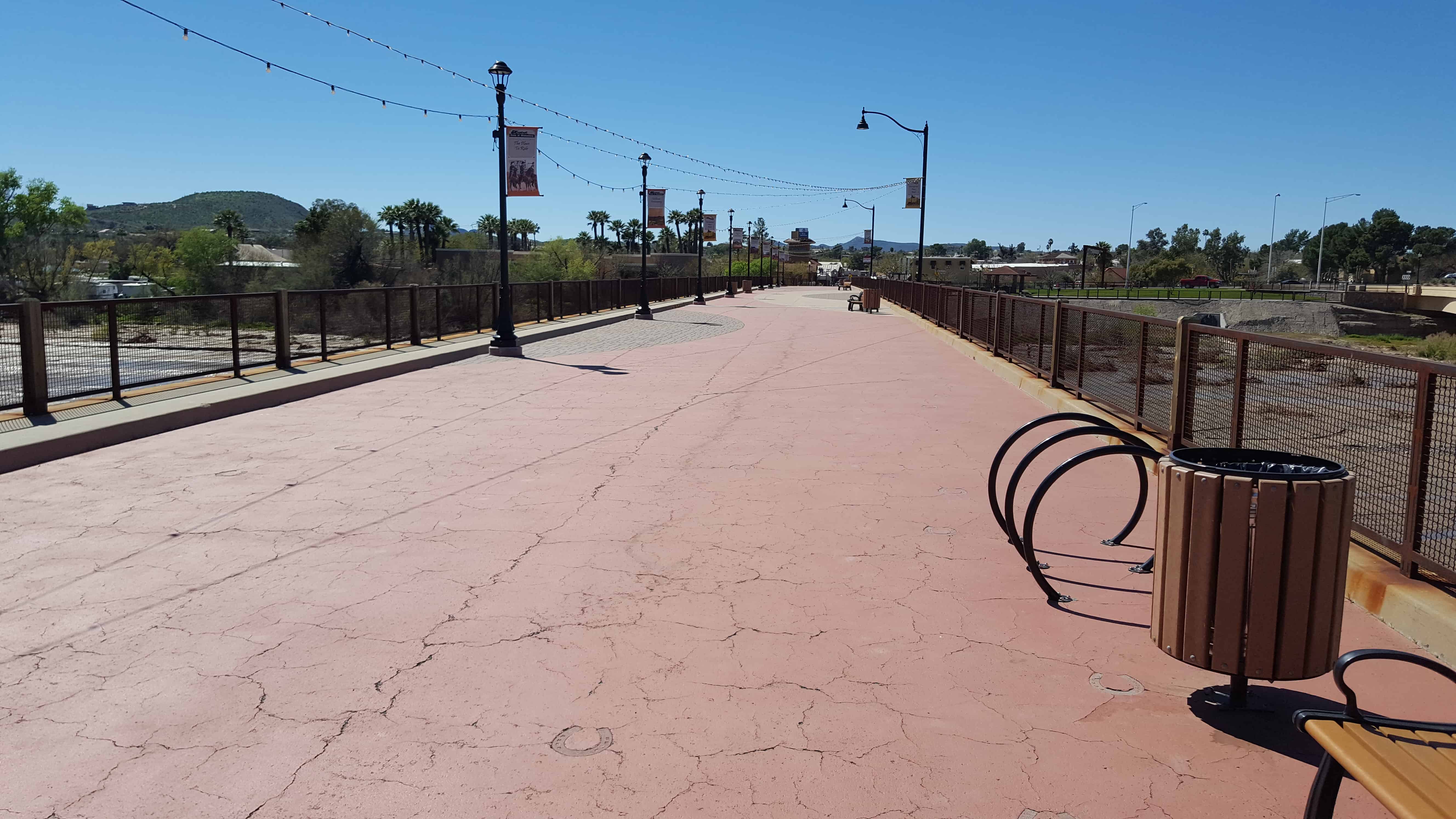
The Teeter Carriage House …was built in 1899 as the mule barn for the Bouvier-Teeter House. It is typical of the traditional carriage house structure, with vehicle, animal and tack storage below, and a loft for feed above. Detached carriage houses were common before garages and carports became popular. Today the Carriage House is home to Royal Coffee Bar.
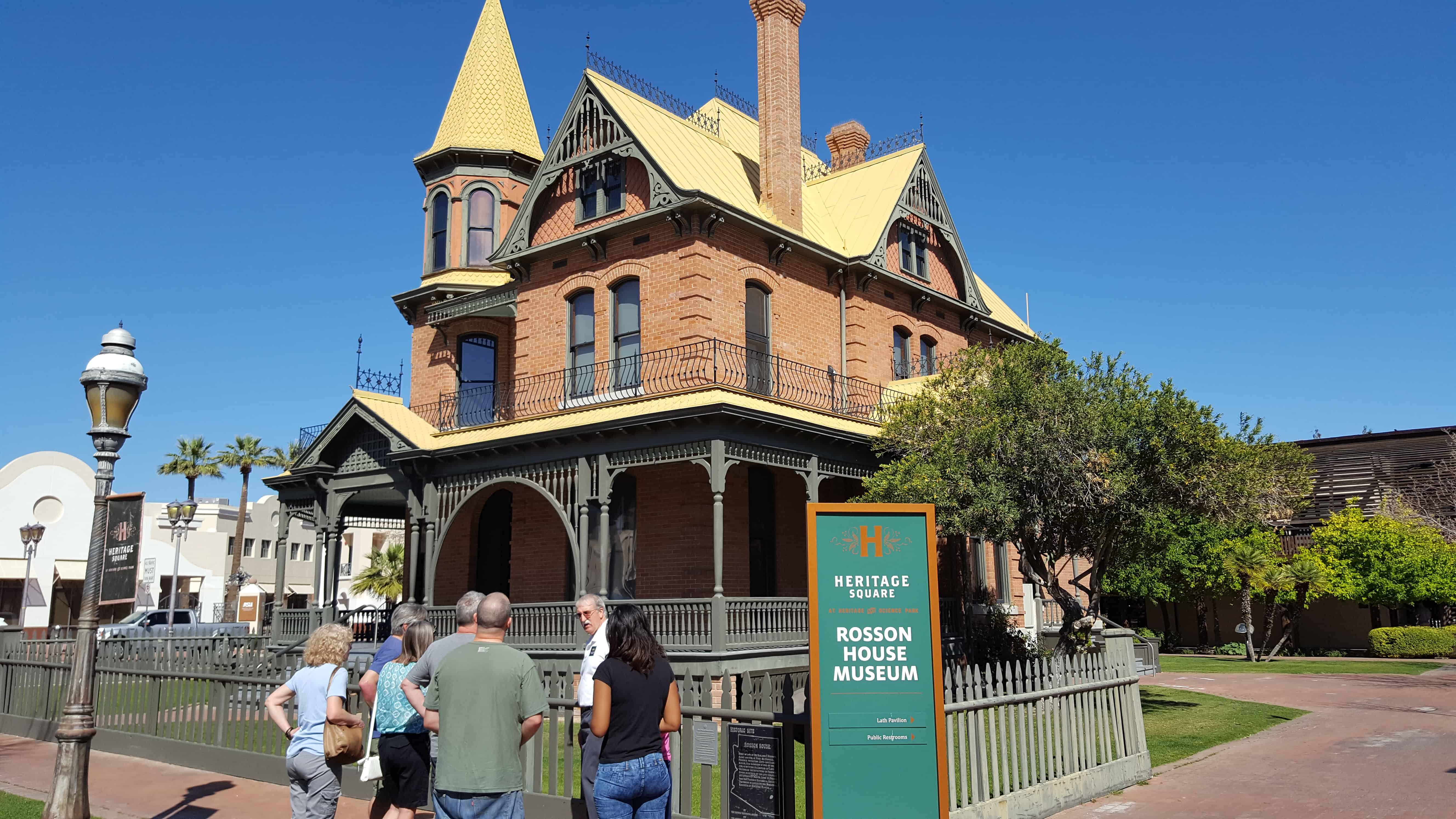
The Rosson House was built between 1894 and 1895 and still sits in its original foundation in downtown Phoenix. Named for Dr. Roland Lee Rosson and his wife Flora Murray Rosson, the house changed hands numerous times before being purchased by the City of Phoenix and restored to its original condition. It now serves as a historic house museum located in Phoenix’s Heritage Square.
Dr. Roland Rosson came to Phoenix in 1879 where he established himself as a general physician and surgeon. Rosson practiced medicine on and off in Phoenix from 1879 until 1897. In addition to his career as a physician, Rosson was also involved in politics. In 1882 he was listed on the Democratic primary ticket. In 1884 he was elected Maricopa County coroner and public administrator. In 1890 he won the office of county treasurer. In 1892 he was elected for a second term and later unsuccessfully attempted to secure the Democratic nomination for sheriff. On May 7, 1895, Rosson was elected Mayor of Phoenix. He served as a Democrat in this unpaid position along with four Republican councilmen. Rosson’s position as mayor was short lived. After difficulties with the city council, he resigned his office on April 6, 1896, before his term was over. Rosson appears to have stayed active in the political scene in Phoenix and his name appears in multiple issues of The Arizona Republican newspaper.(*)
Roland Rosson married Flora B. Murray in Phoenix on August 11, 1880. The Rossons had a total of seven children – Irene, Vivien, Floy, Norma, and Clyde lived to adulthood. Their two other children died in infancy – their first son Roland Lloyd died at age five weeks, and an unnamed daughter died at birth.
The Wickenburg area with much of the Southwest became part of the United States by the 1848 treaty that ended the Mexican-American War. The first extensive survey was conducted by Gila Rangers who were pursuing hostile Indians who had raided the Butterfield Overland Mail route and attacked miners at Gila City.
In 1862, a gold strike on the Colorado River near present-day Yuma brought American prospectors, who searched for minerals throughout central Arizona. Many of the geographic landmarks now bear the names of these pioneers, including the Weaver Mountains, named after mountain man Pauline Weaver, and Peeples Valley, named after a settler.
A German named Henry Wickenburg was one of the first prospectors. His efforts were rewarded with the discovery of the Vulture Mine, from which more than $30 million worth of gold has been dug.
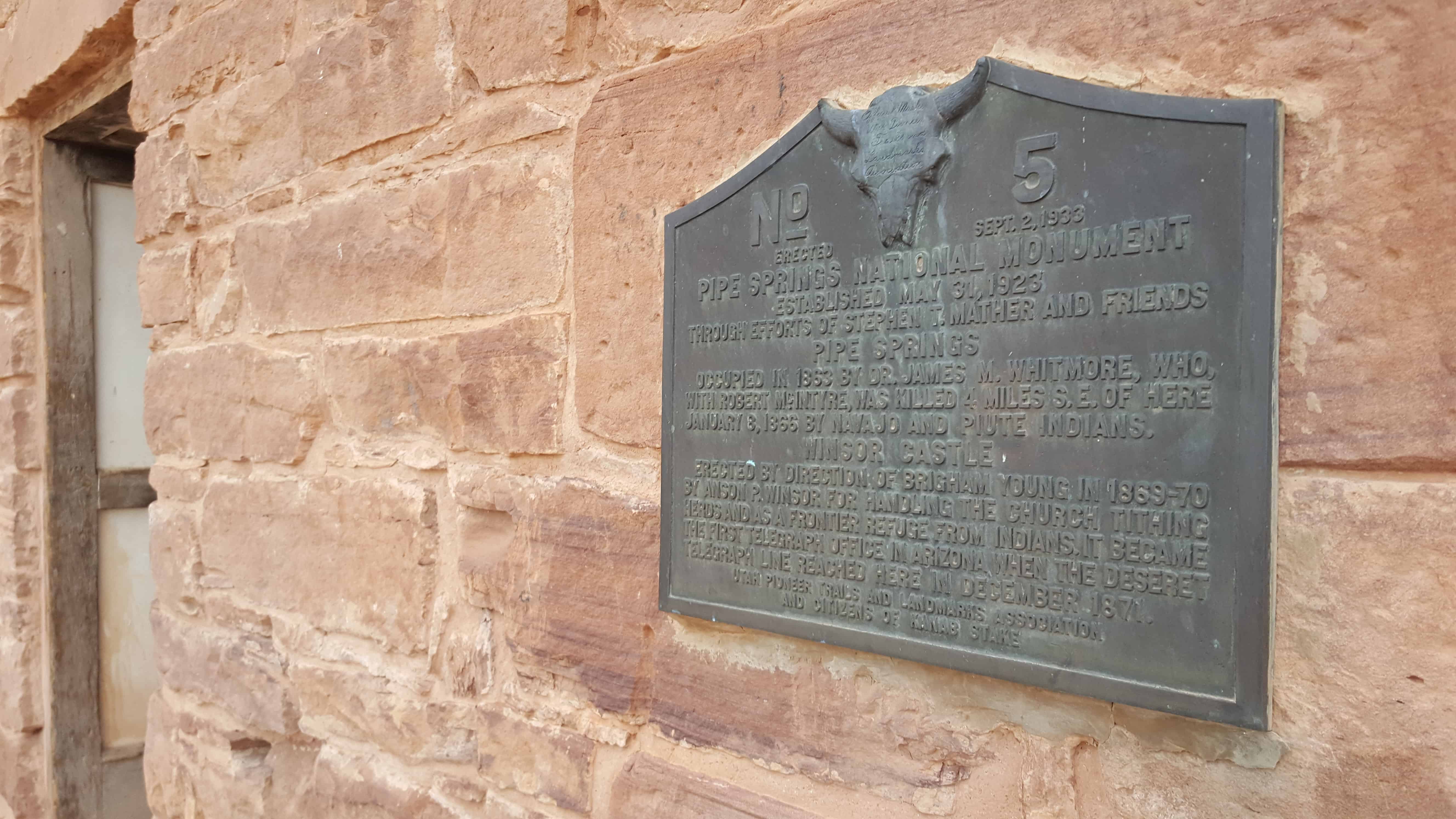
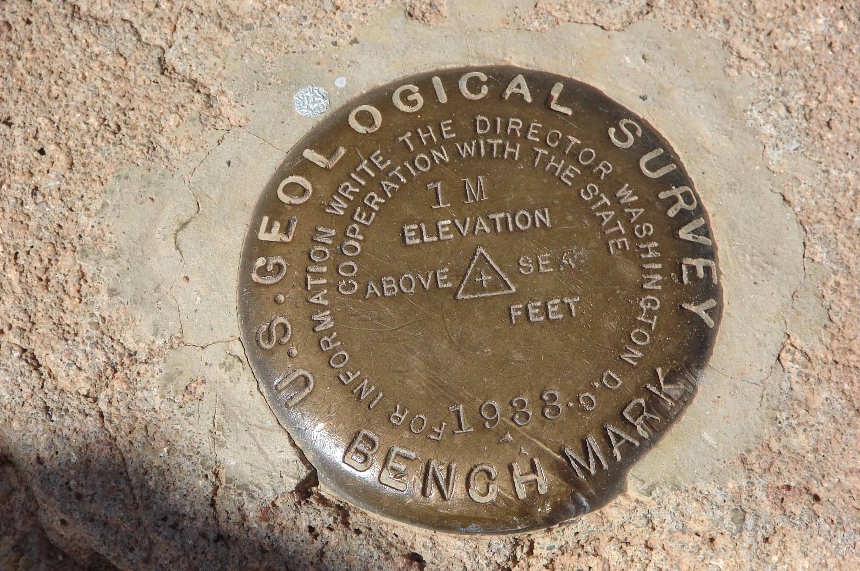
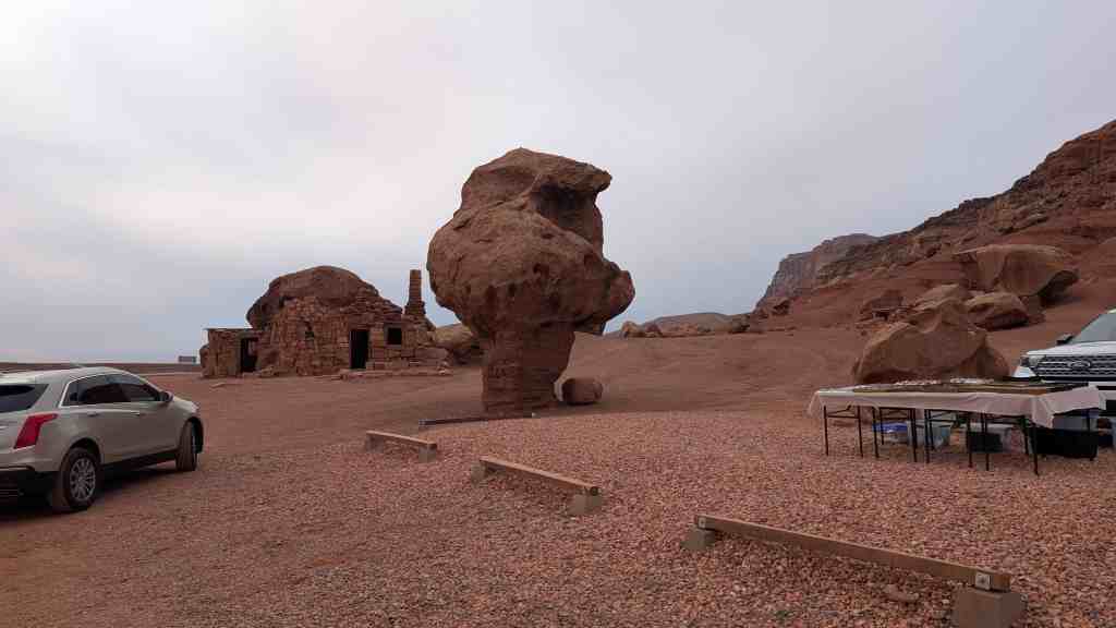
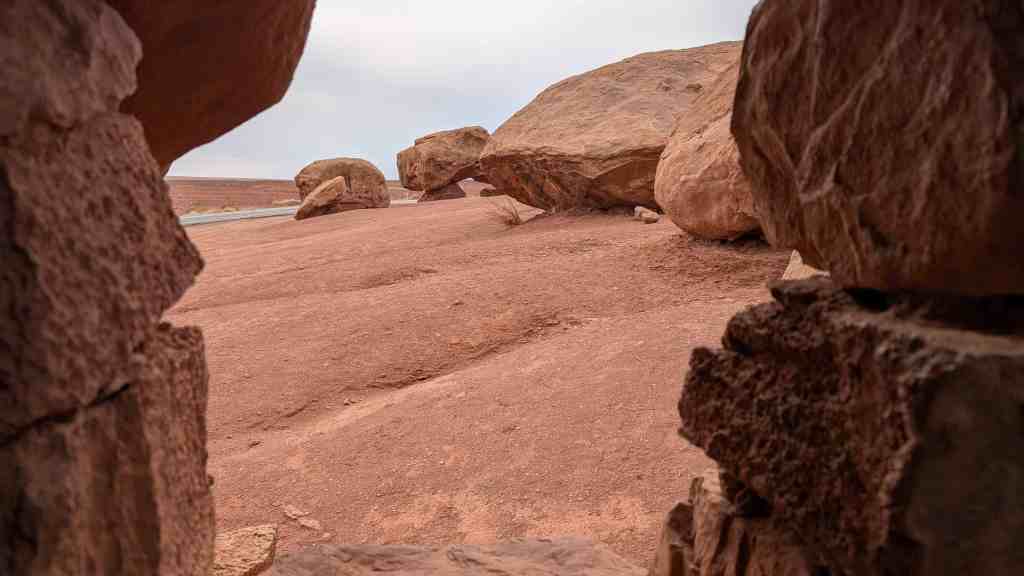
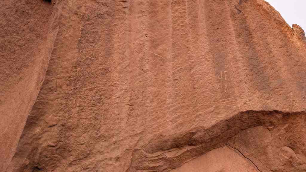
PIPE SPRINGS NATIONAL MONUMENT, Established May 31, 1923, through efforts of Stephen T. Mather and friends. PIPE SPRINGS, occupied in 1863, by Dr. James M Whitmore, who, with Robert McIntire was killed 4 miles S.E. of Pipe Springs January 8, 1866, by Navajo and Piute Indians.
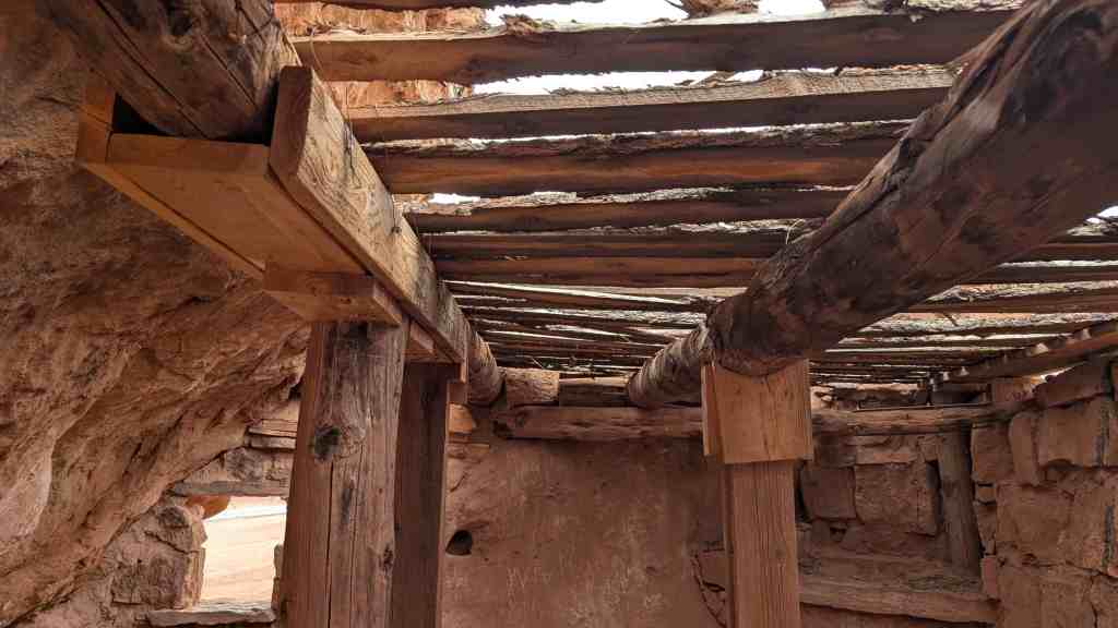
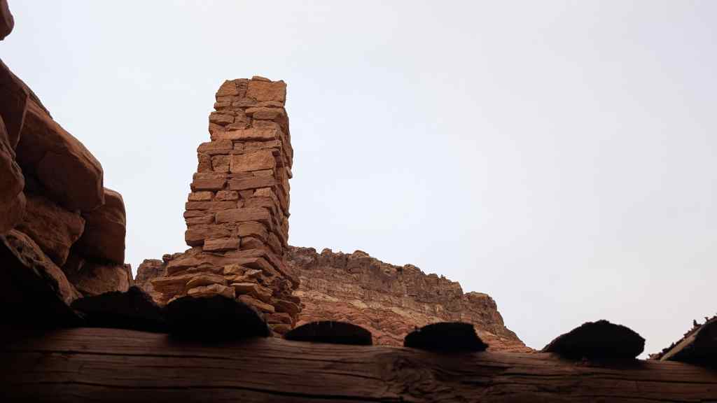
WINDSOR CASTLE Erected by direction of Brigham Young in 1869 – 70 by Anson Windsor for handling the Church tithing herds and as a frontier refuge from Indians. It became the first telegraph office in Arizona when the Deseret Telegraph Line reached here in December 1871.
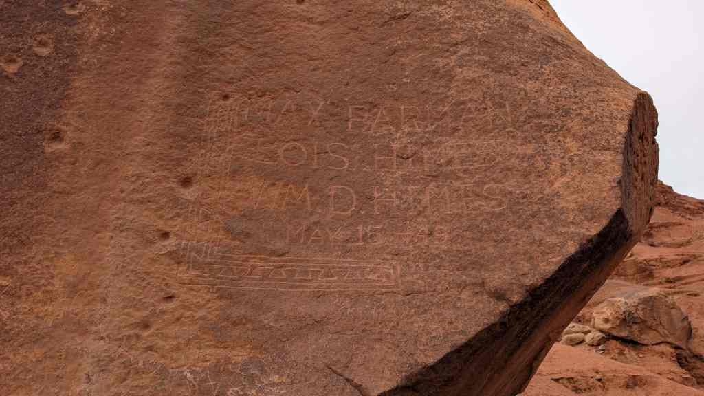
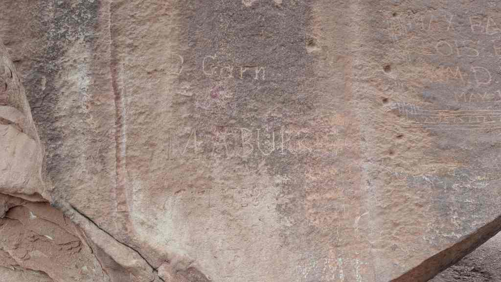
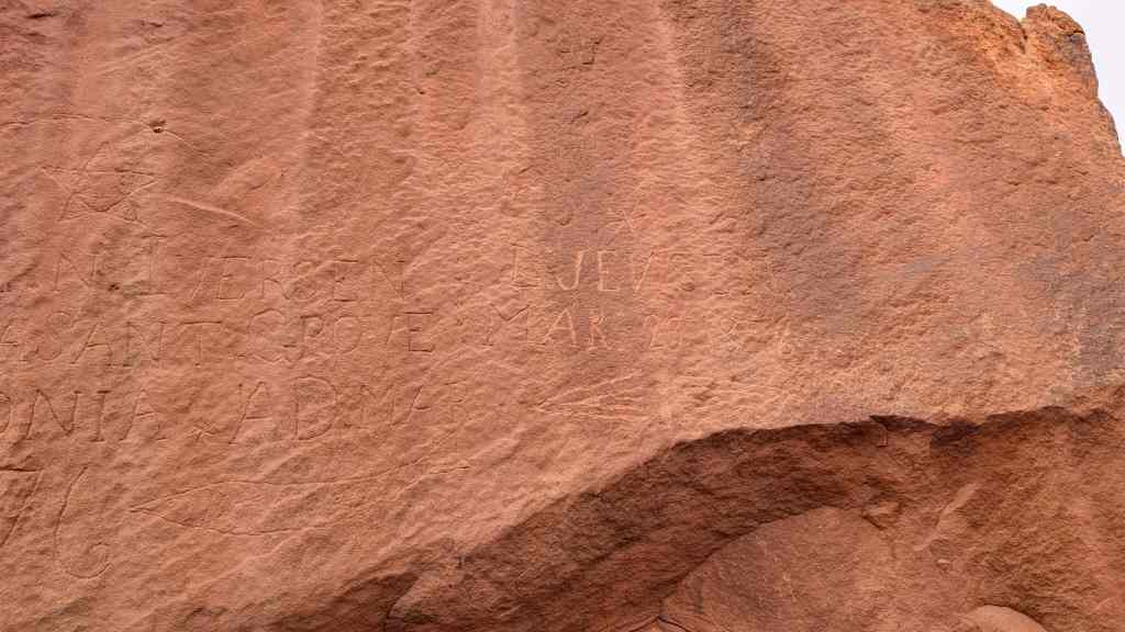
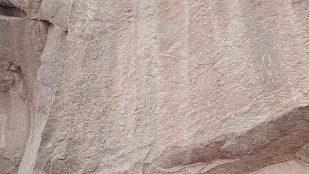
See other historic markers in the series on this page for UPTLA/SUP Markers.
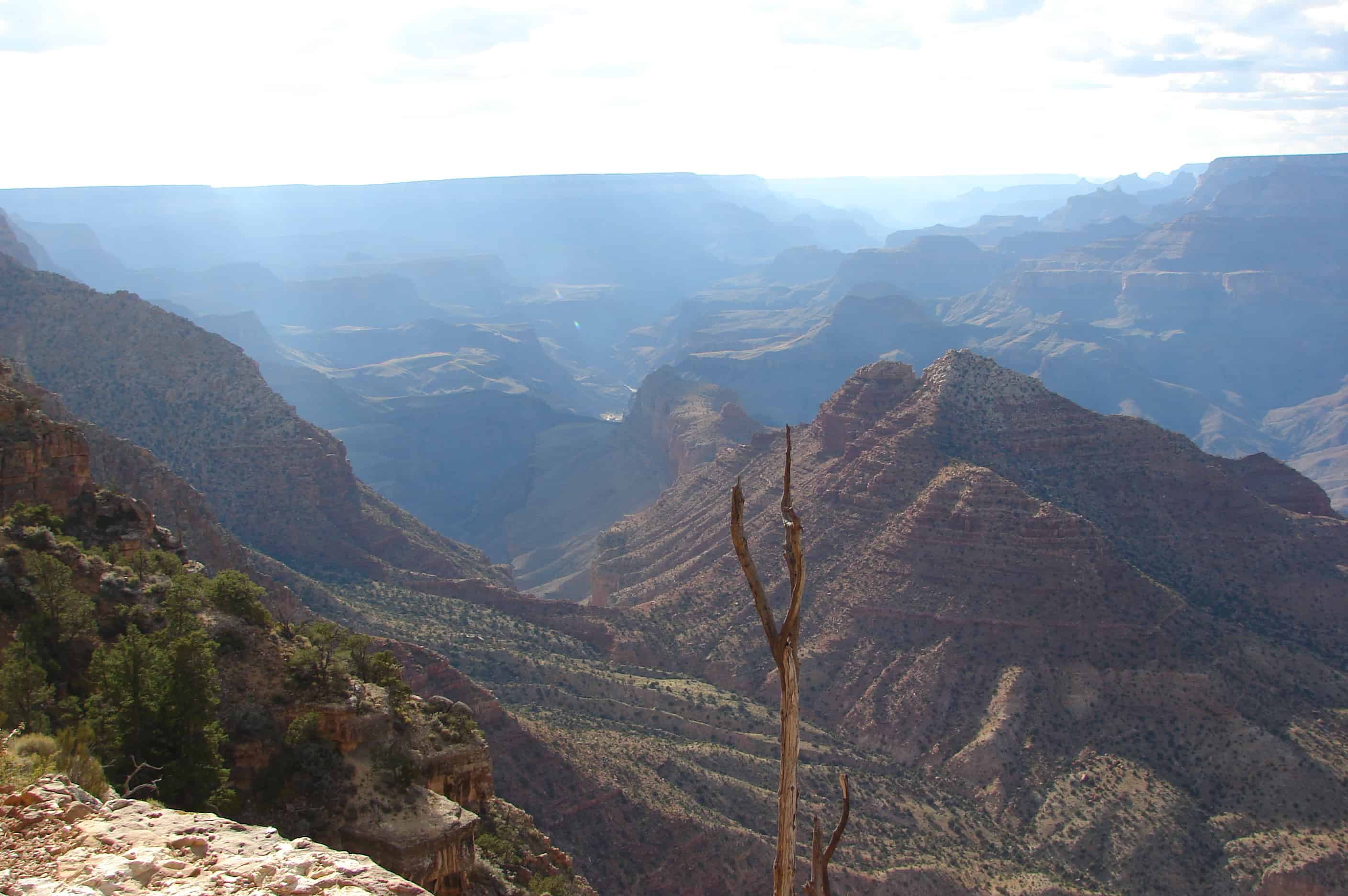
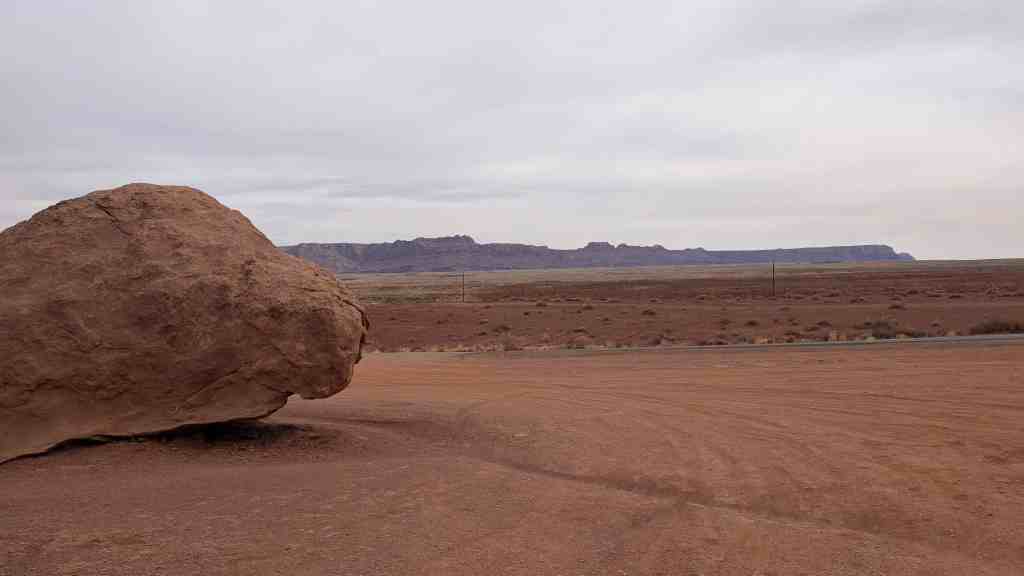
Between the Grand Canyon and Utah lies the Arizona Strip, a sparsely populated area with few roads and fewer towns. The Strip was originally in Utah territory, but the northern boundary of the Arizona Territory became a hotly debated issue in 1848.
From 1878 to 1928, Mormon couples traveled for weeks through the Strip along the “Honeymoon Trail,” a route blazed by Jacob Hamblin, from central Arizona through Lees Ferry and Pipe Springs to St. George, Utah, to have their marriages performed in the temple.
The final decision created a part of Arizona geographically separated from the rest of the state, posing some unusual challenges for residents. For example, a visit to the Mohave County seat in Kingman means a journey through southern Utah, a tip of Nevada and back into Arizona.
In 1946, the grazing Service merged with the General Land Office to form the Bureau of Land Management (BLM), within the Department of Interior. The Arizona Strip BLM manages 2.8 million acres of public lands for a variety of uses.
When folks at Wold Hole wanted their own post office, they generated a flurry of mail to themselves to convince the postal service of their need.
Desert View Watchtower, also known as the Indian Watchtower at Desert View, is a 70-foot-high stone building located on the South Rim of the Grand Canyon within Grand Canyon National Park in Arizona, United States. The tower is located at Desert View, more than 20 miles to the east of the main developed area at Grand Canyon Village, toward the east entrance to the park. The four-story structure, completed in 1932, was designed by American architect Mary Colter, an employee of the Fred Harvey Company who also created and designed many other buildings in the Grand Canyon vicinity including Hermit’s Rest and the Lookout Studio. The interior contains murals by Fred Kabotie.
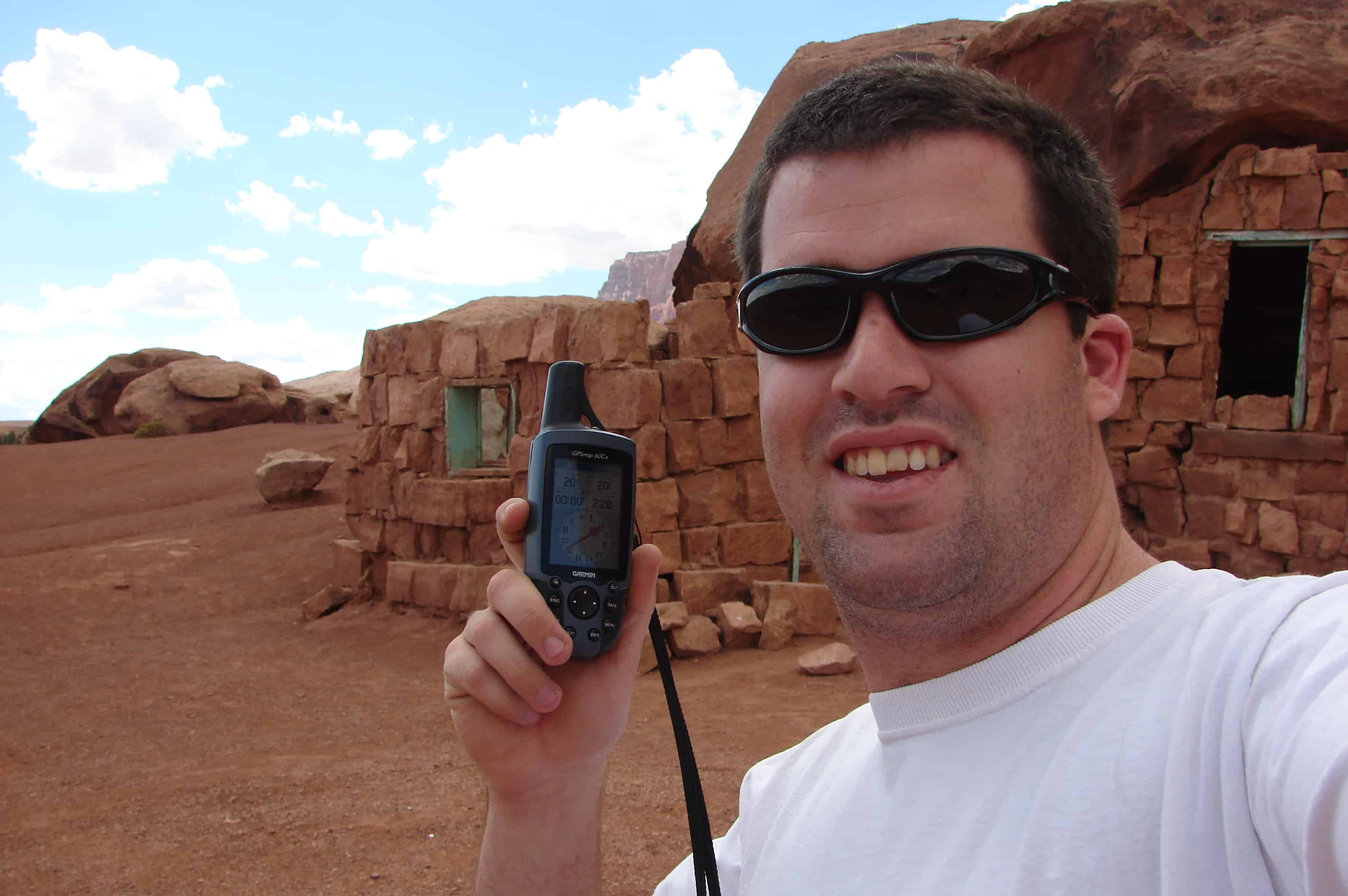
NAVAJO BRIDGE, sometimes called Marble Canyon or Grand Canyon Bridge, is the only highway bridge crossing the turbulent Colorado for approximately a thousand miles–from Boulder Dam to Moab, Utah. An engineering accomplishment and an object of great beauty, it is 834 feet long, has a single arch with a span of 616 feet, and measures 467 feet between its floor and the surface of the river–about the height of a forty-story building. Since its completion in 1929 the bridge as superseded the old Lee’s Ferry nearby. The Colorado River is the western boundary of the Navajo Reservation, largest in the United States.
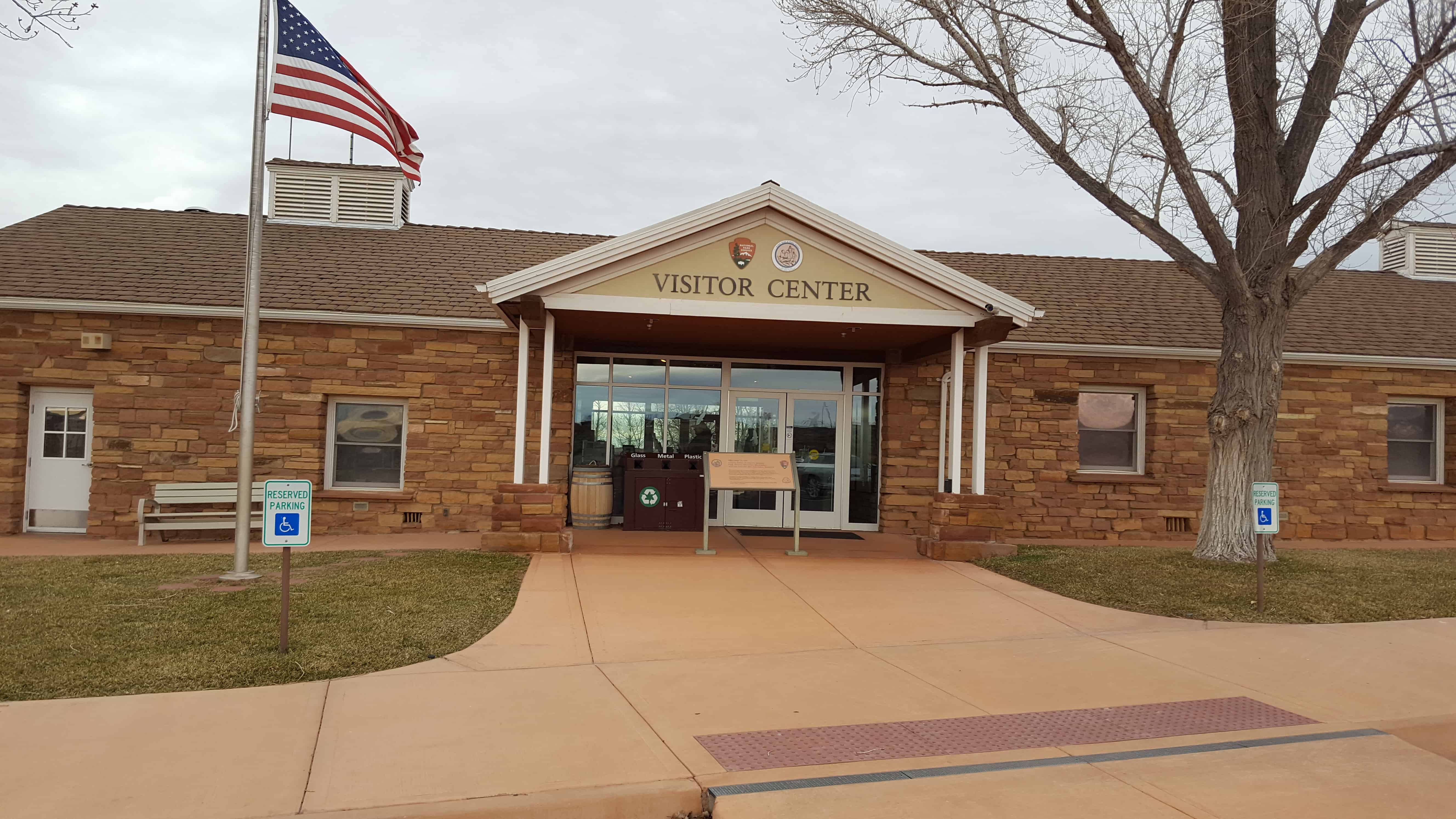
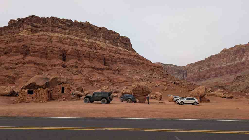
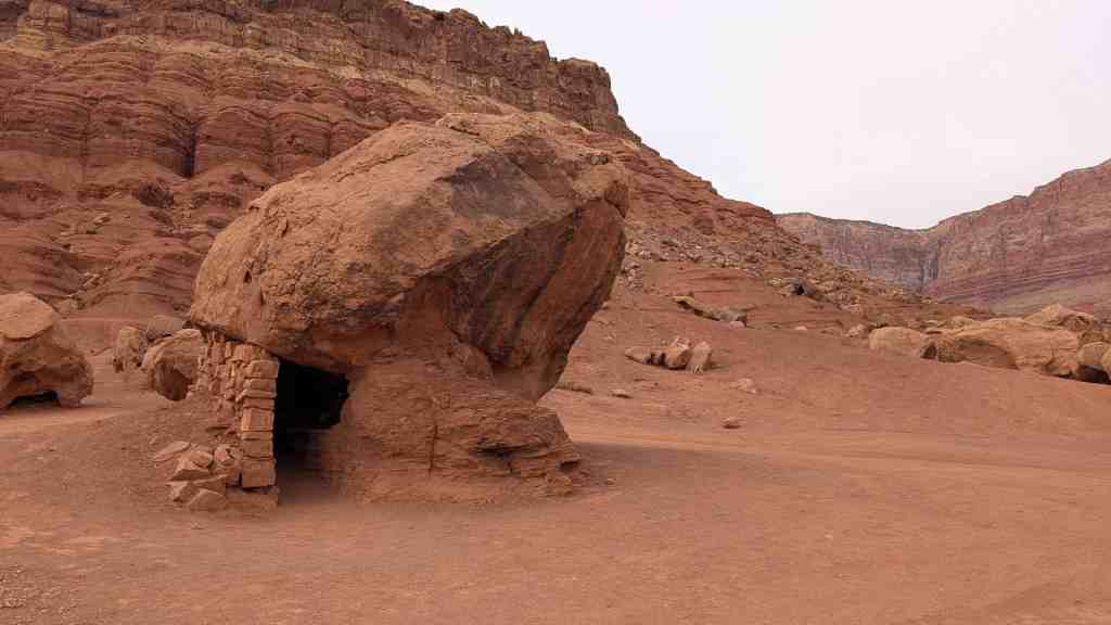
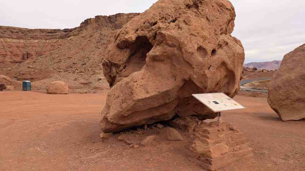
Since the American Guide was published, a second bridge was built to withstand today’s traffic, the original bridge is now only open to pedestrians, and a visitor’s center replaced the rest area.
“After completion of the new bridge, the old rest area on the west side of the bridge was remodeled and expanded to include an interpretive center. On the Navajo Nation (east) side of the bridge, there is an area for Native American craft vendors. The Navajo Bridge Interpretive Center opened for business in April of 1997 and was dedicated on June 17, 1997.” Source: NPS Navajo Bridge Interpretive Center (visit link)
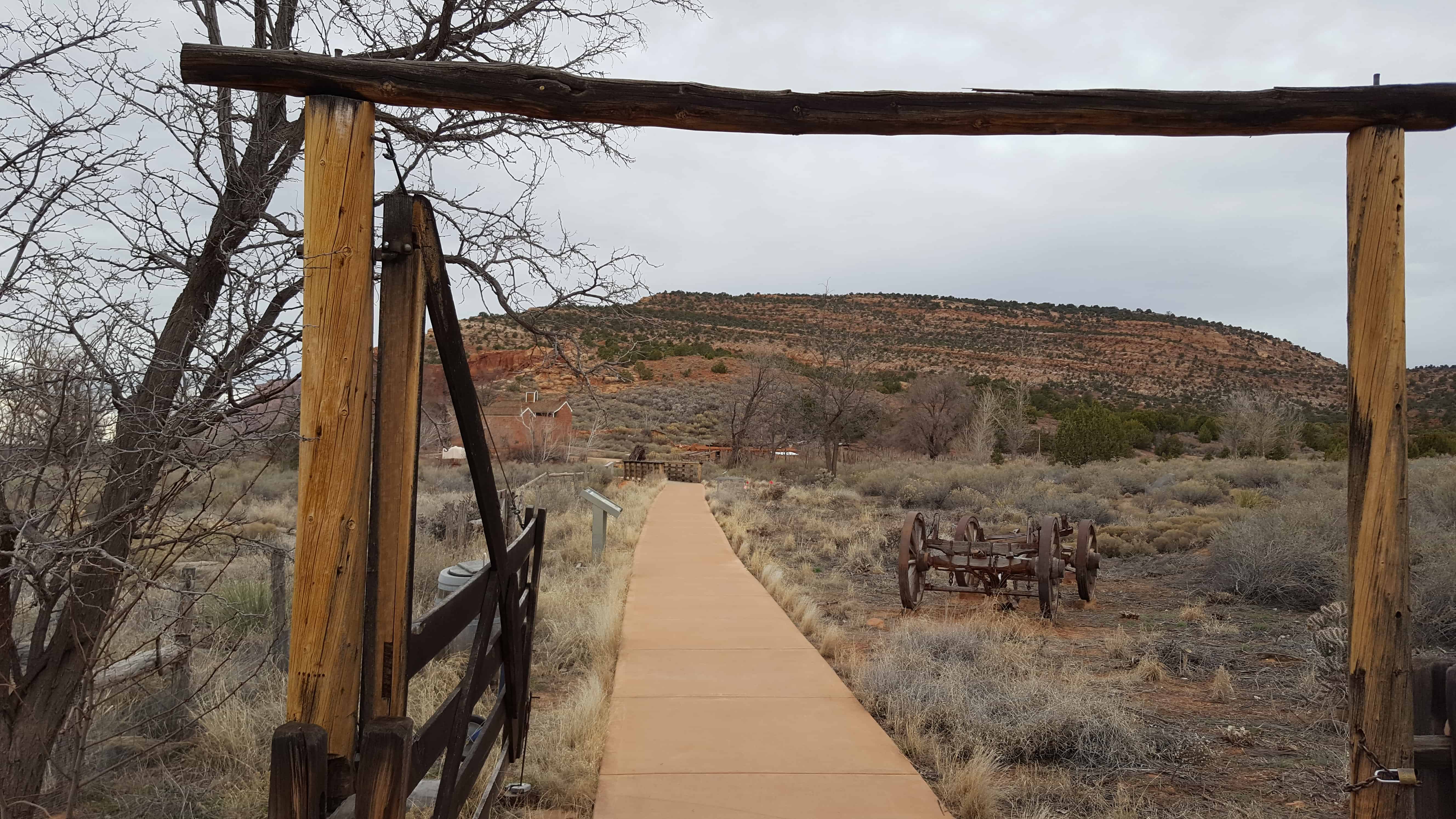
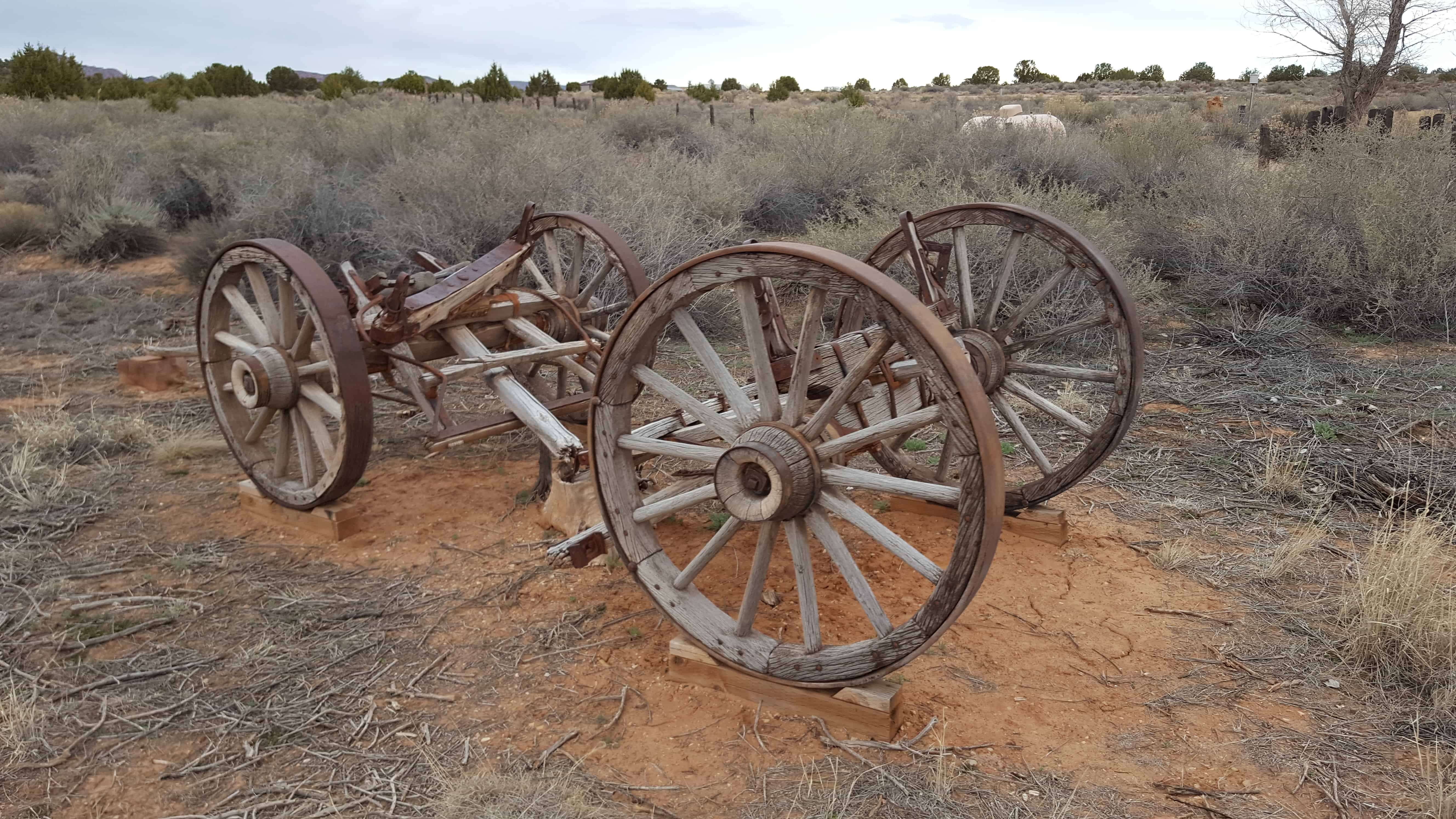
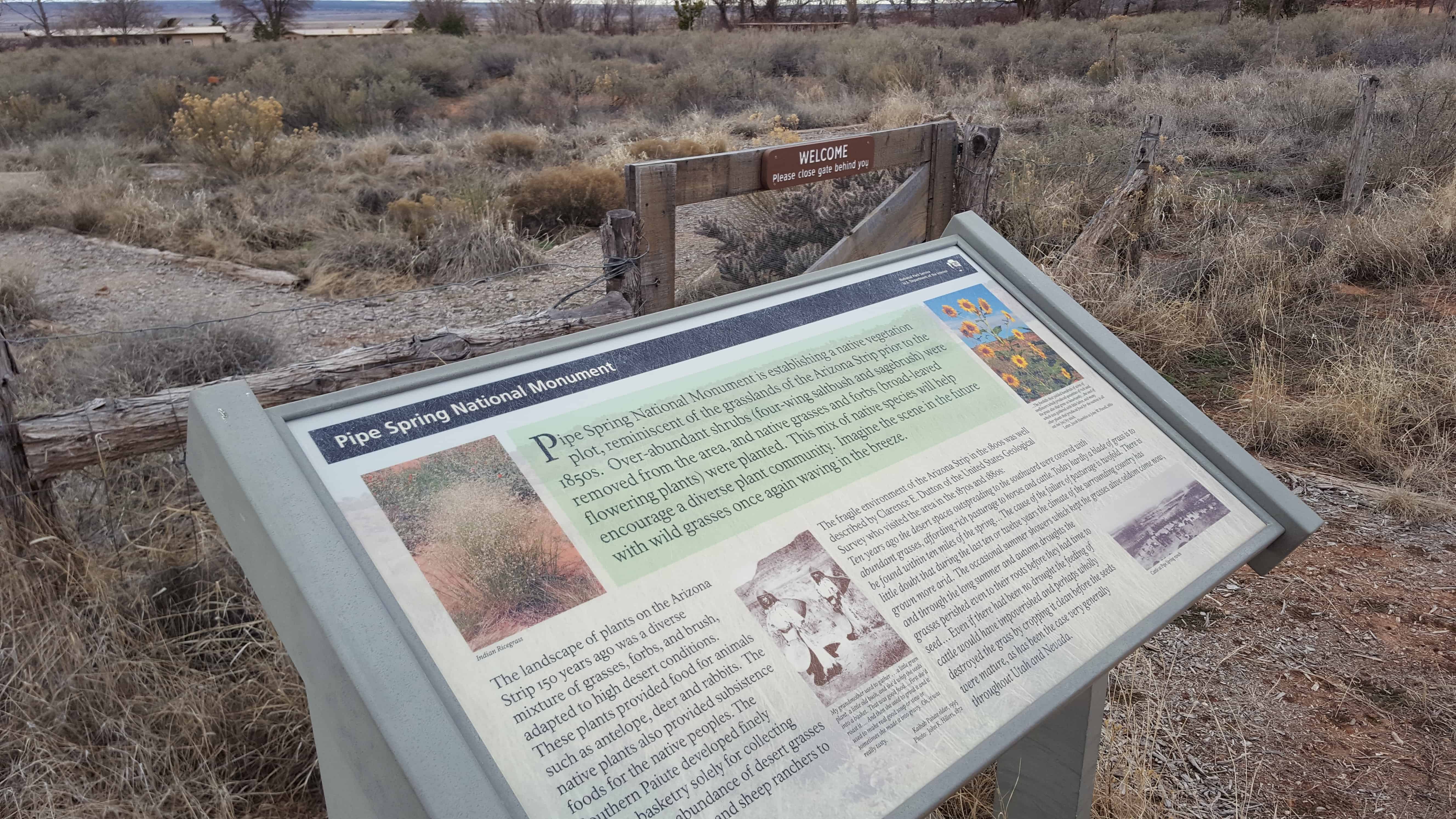
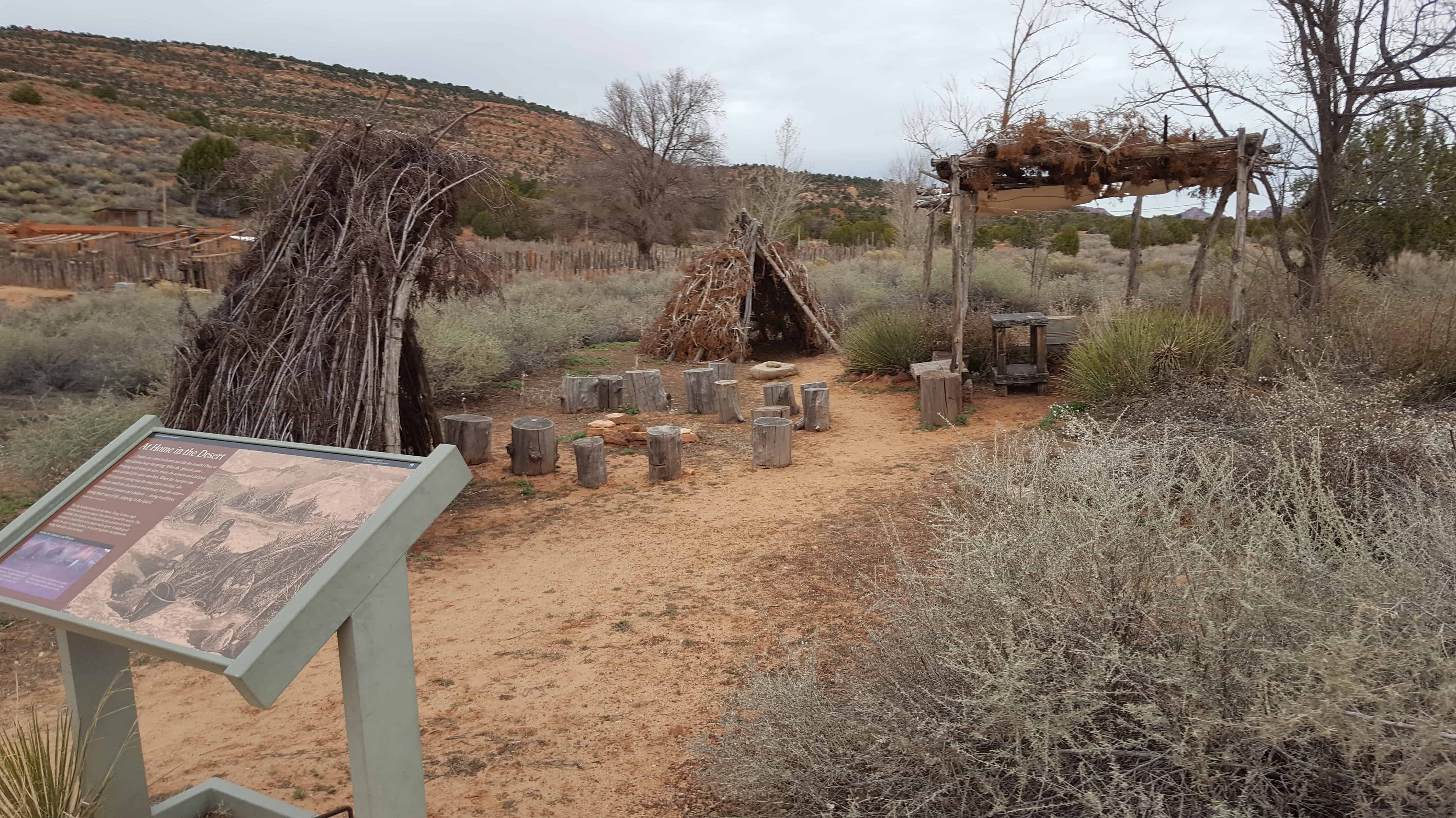
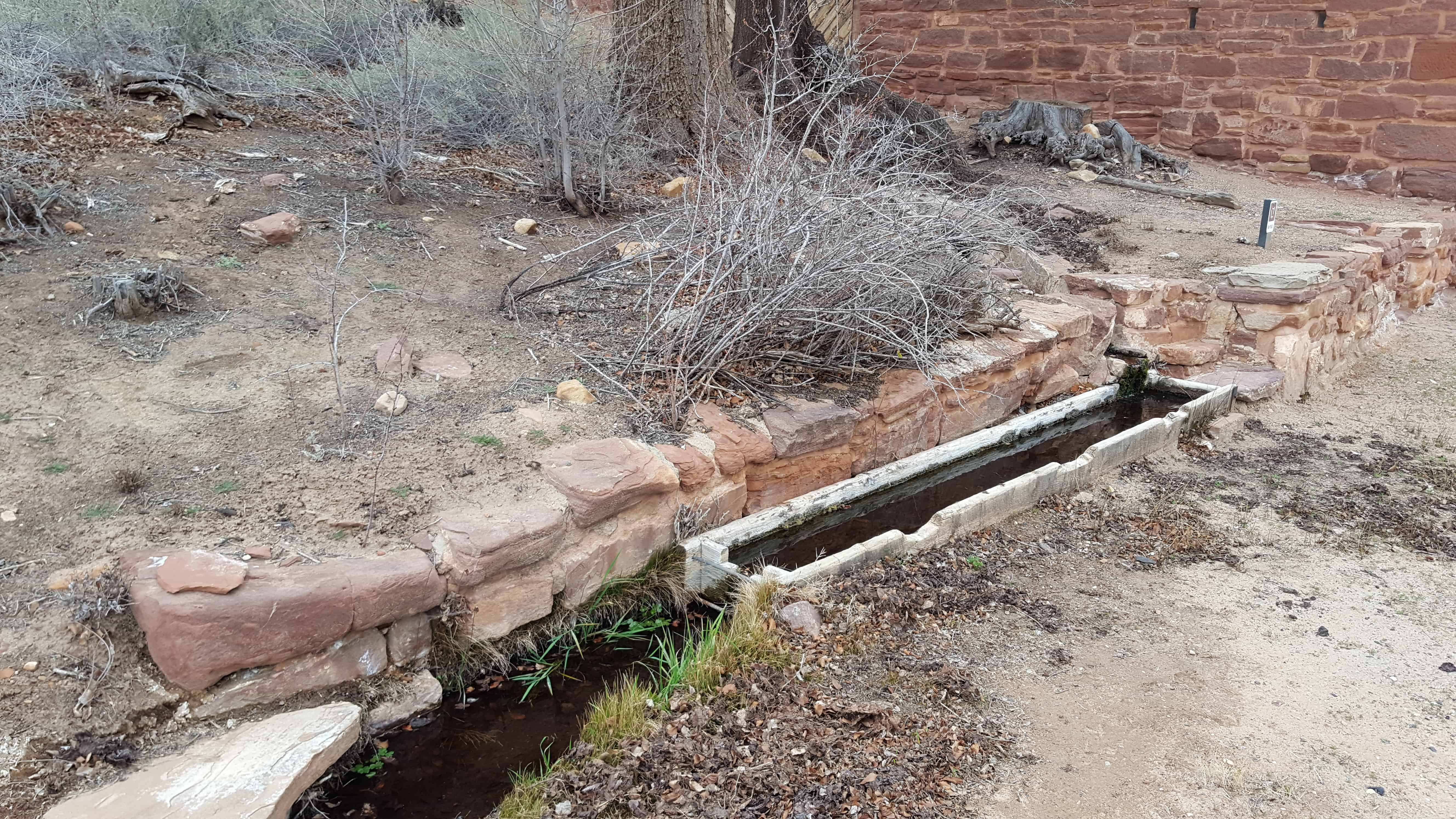
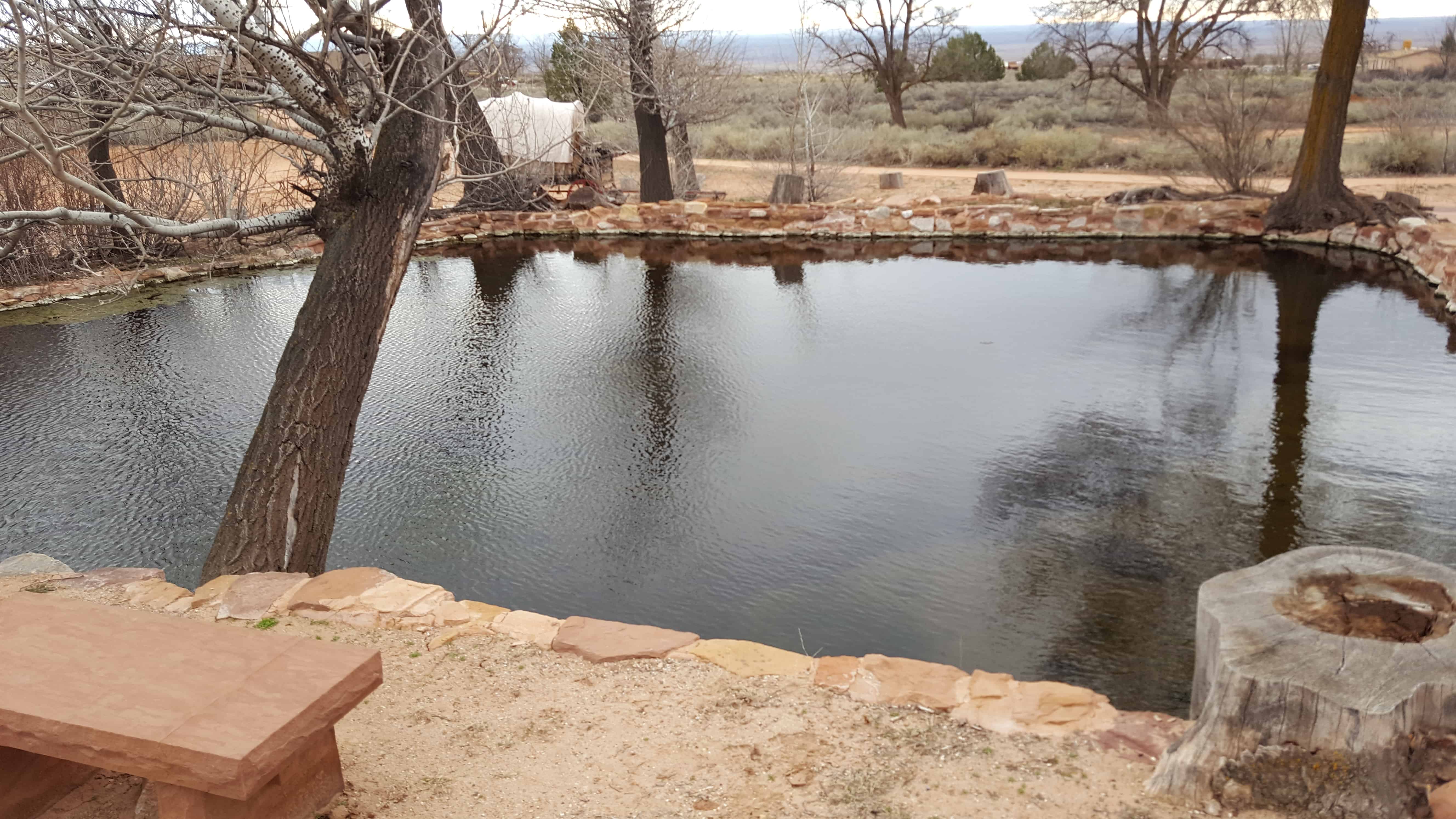
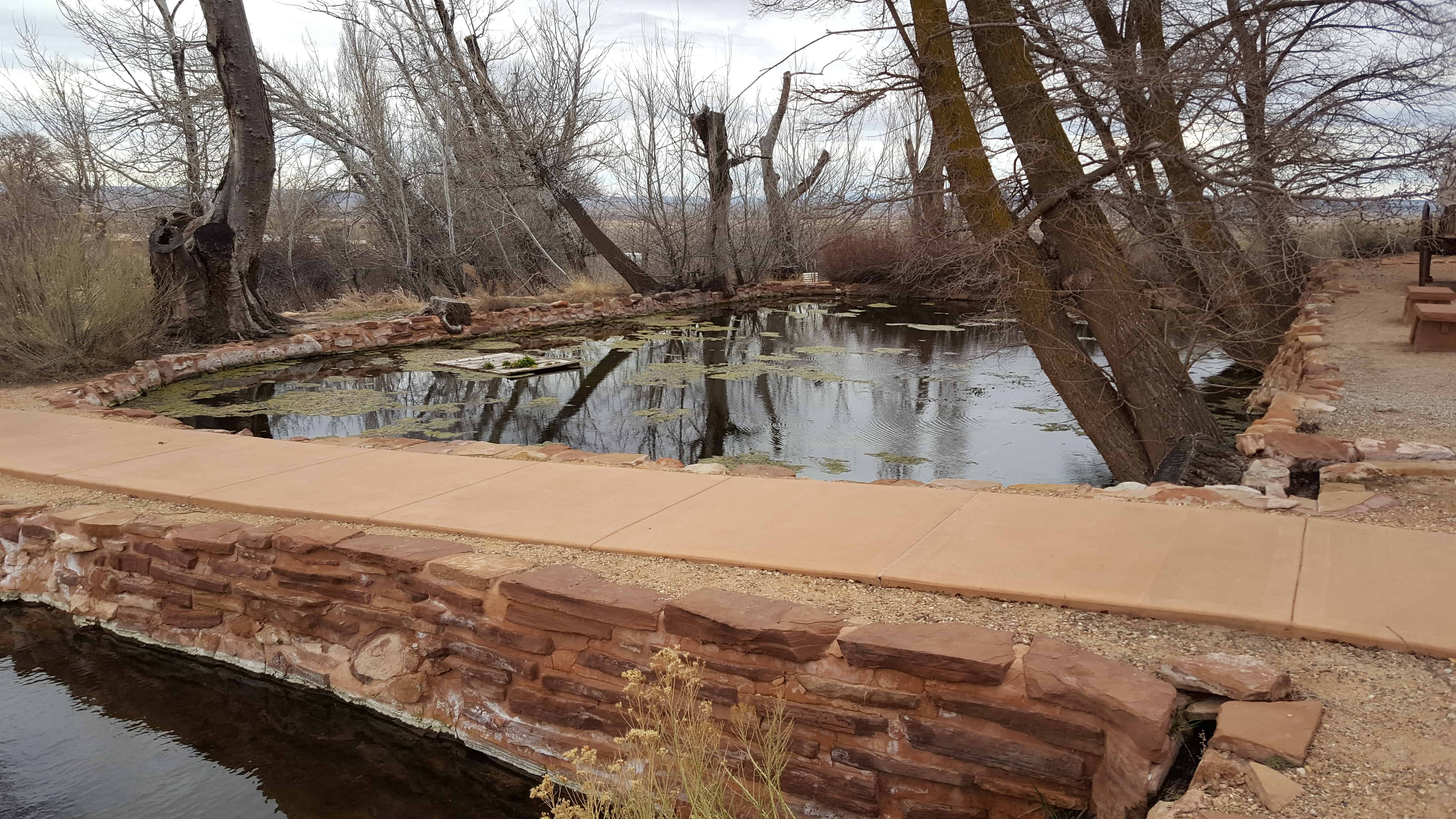
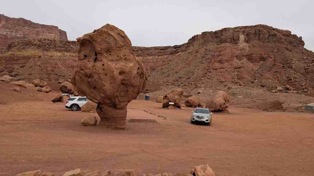
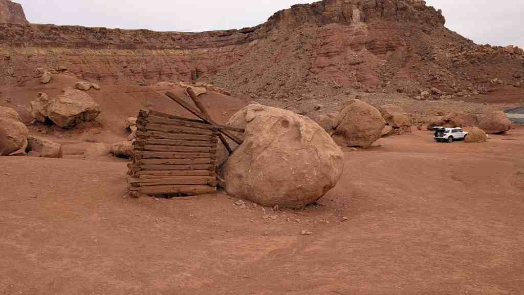
The water of Pipe Spring has made it possible for plants, animals, and people to live in this dry desert region. Ancestral Puebloans and Kaibab Paiute Indians gathered grass seeds, hunted animals, and raised crops near the springs for at least 1,000 years.
Antonio Armijo discovered the springs when he passed through the area in 1829, when he established by the Armijo Route of the Old Spanish Trail.
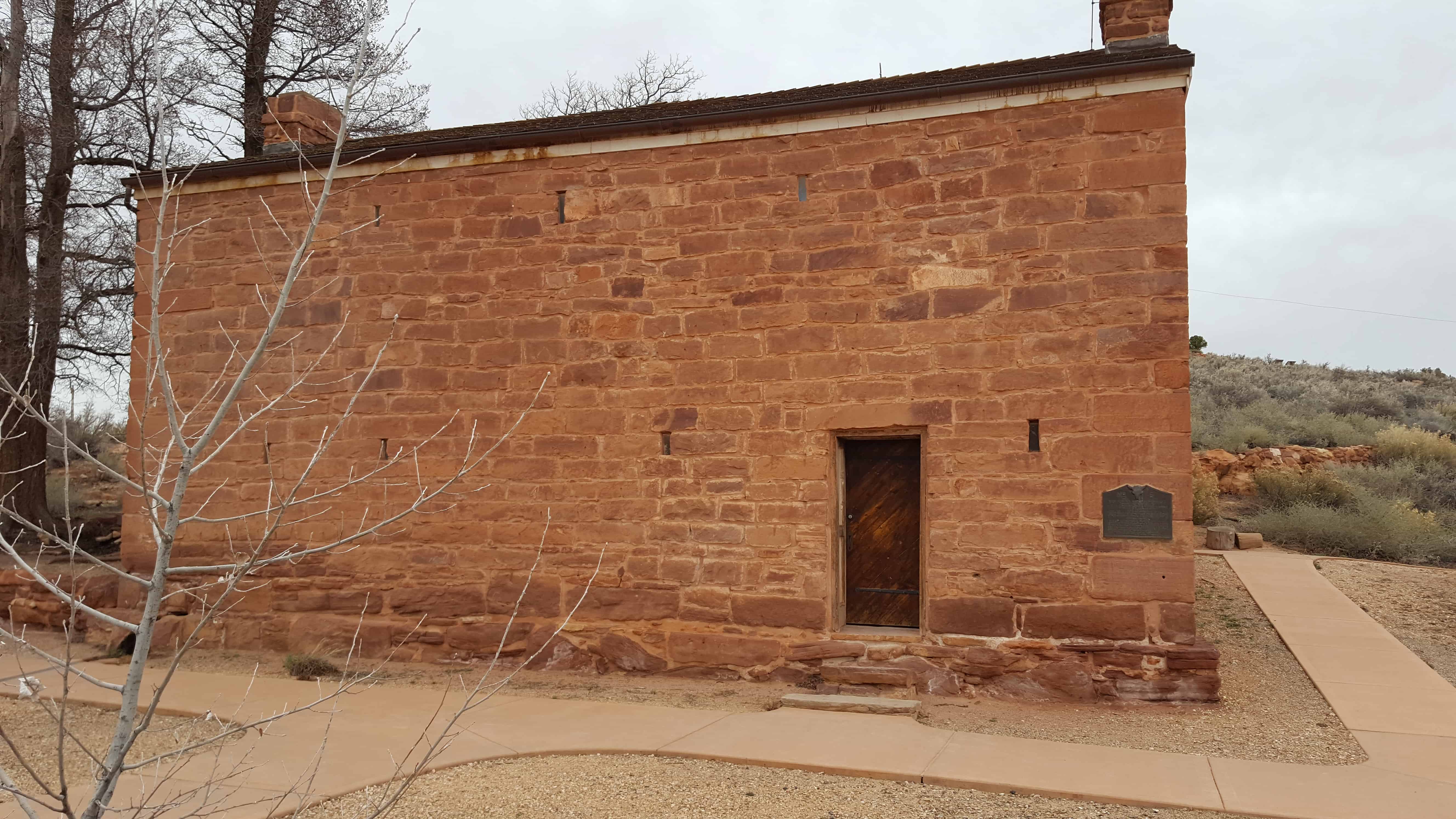
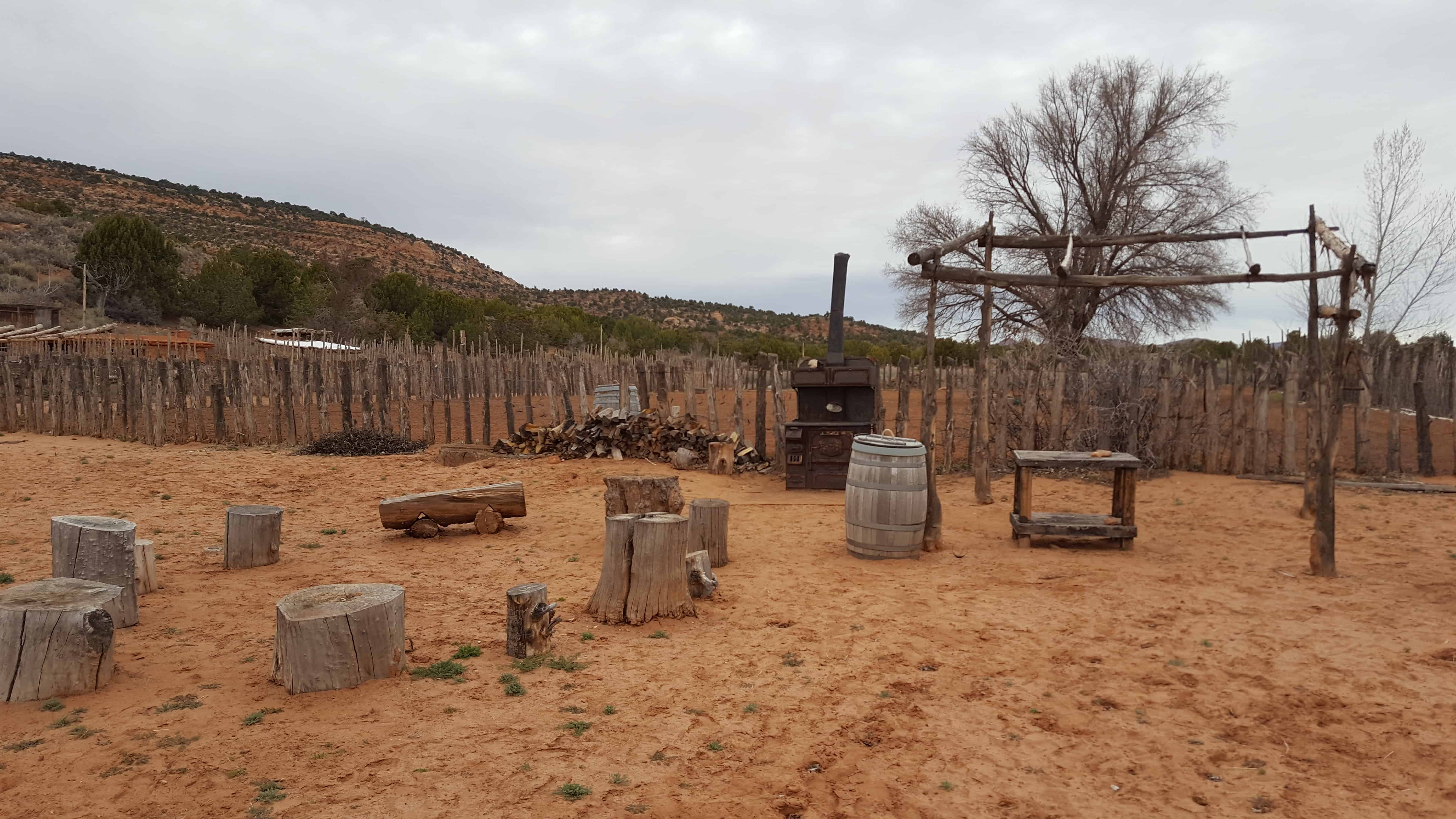
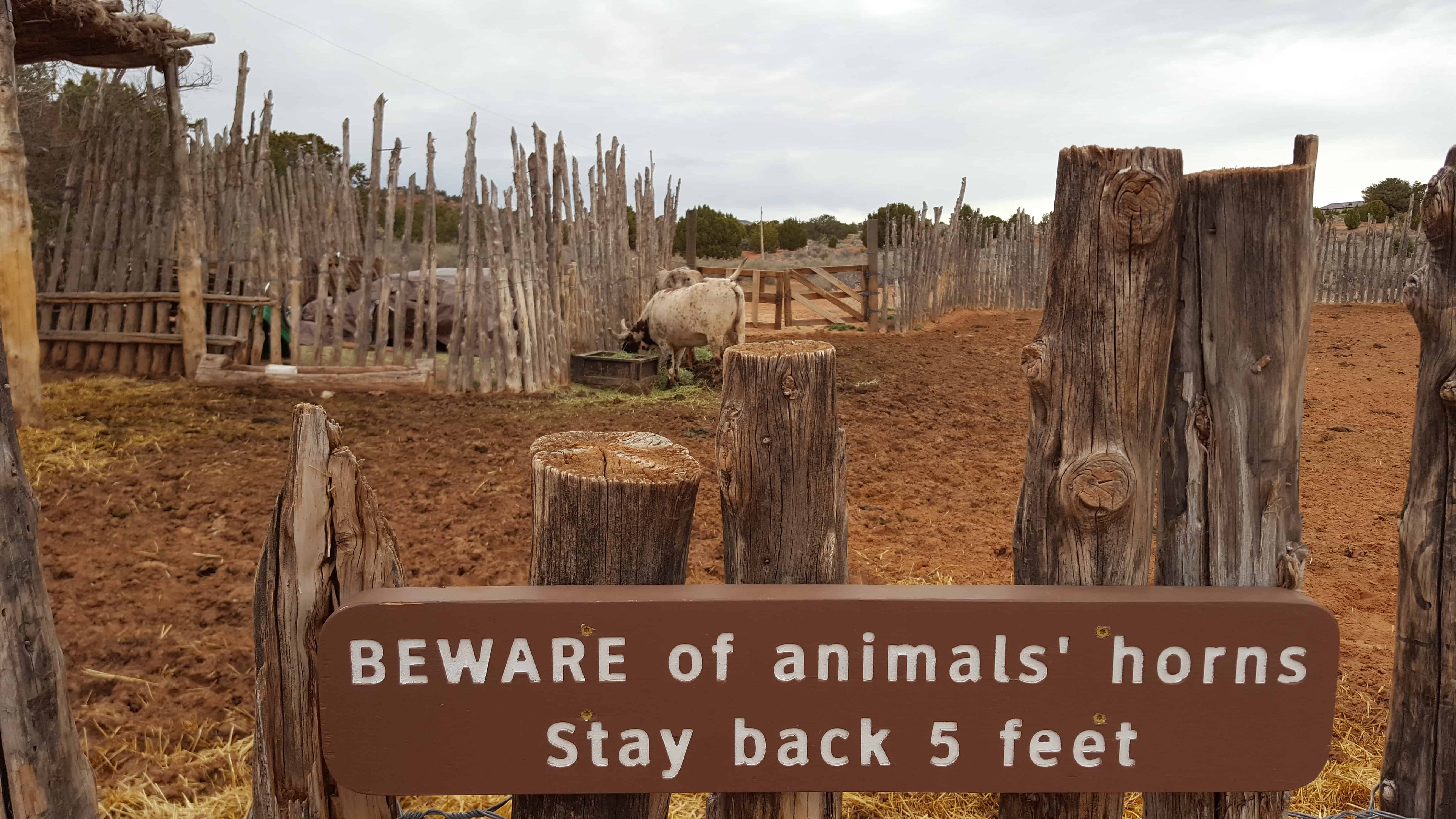
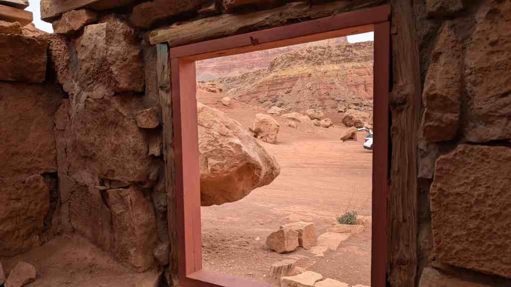
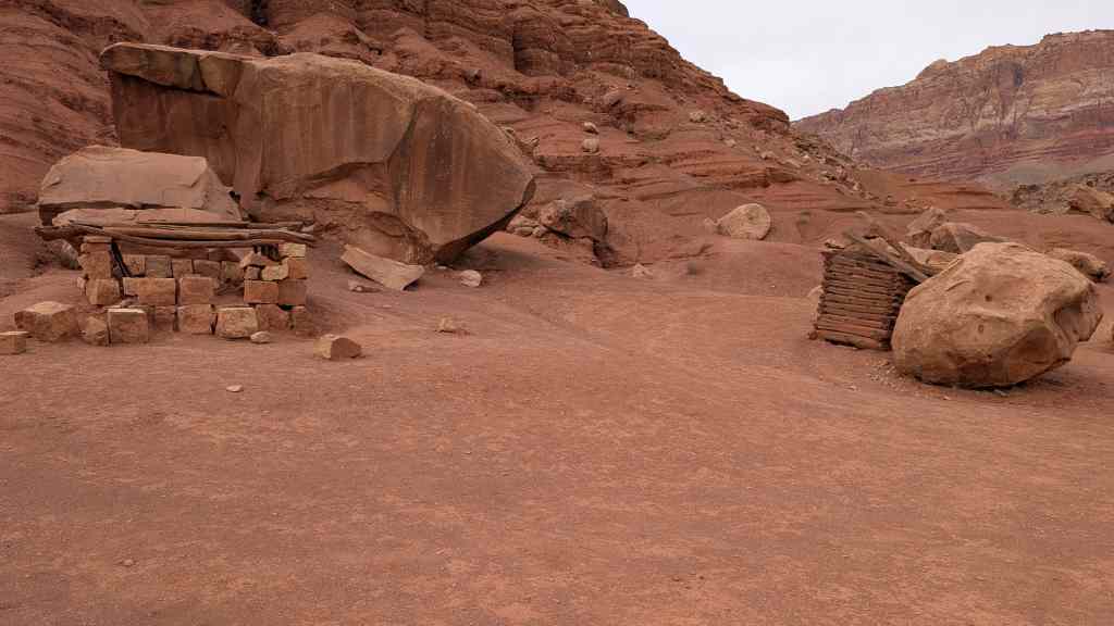
Pipe Spring was named by the 1858 Latter-day Saint missionary expedition to the Hopi mesas led by Jacob Hamblin. In the 1860s Mormon pioneers from St. George, Utah, led by James M. Whitmore brought cattle to the area, and a large cattle ranching operation was established. In 1866 the Apache, Navajo and Paiute tribes of the region joined the Utes for the Black Hawk War, and, after they raided Pipe Spring, a protective fort was constructed by 1872 over the main spring. The following year the fort and ranch was purchased by Brigham Young for The Church of Jesus Christ of Latter-day Saints (LDS Church). The LDS Bishop of nearby Grafton, Utah, Anson Perry Winsor, was hired to operate the ranch and maintain the fort, soon called Winsor Castle. This isolated outpost served as a way station for people traveling across the Arizona Strip, that part of Arizona separated from the rest of the state by the Grand Canyon. It also served as a refuge for polygamist wives during the 1880s and 1890s. The LDS Church lost ownership of the property through penalties involved in the federal Edmunds-Tucker Act of 1887.
Although their way of life was greatly impacted by Mormon settlement, the Paiute Indians continued to live in the area and by 1907 the Kaibab Paiute Indian Reservation was established, surrounding the privately owned Pipe Spring ranch. In 1923, the Pipe Spring ranch was purchased and set aside as a national monument to be a memorial to western pioneer life.