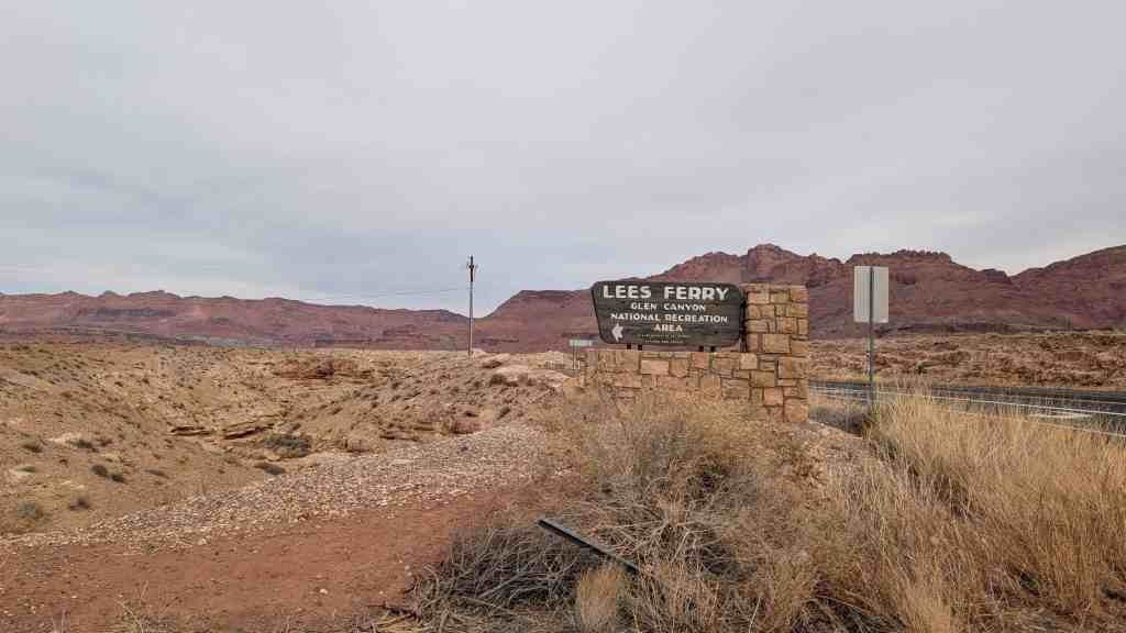
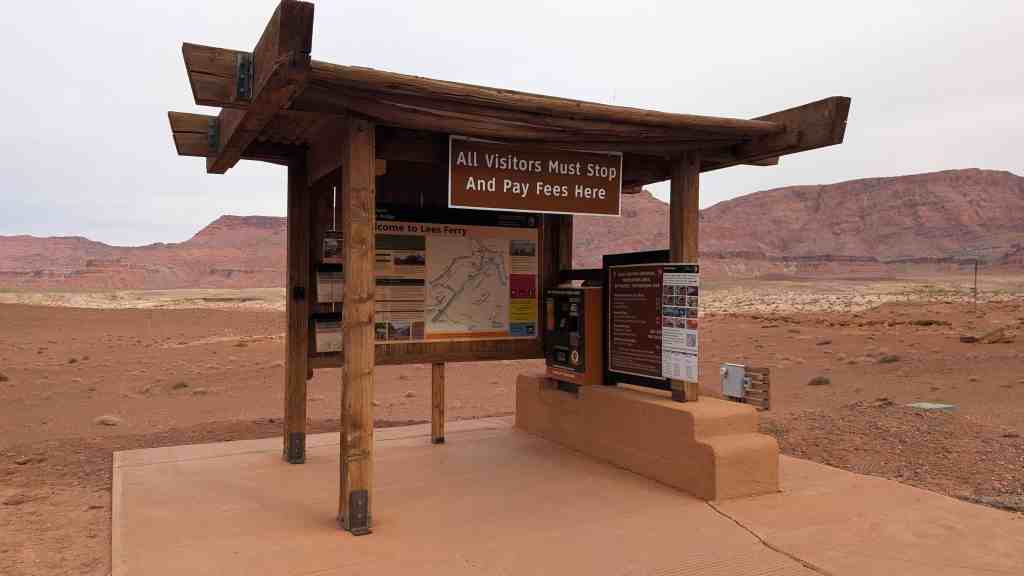
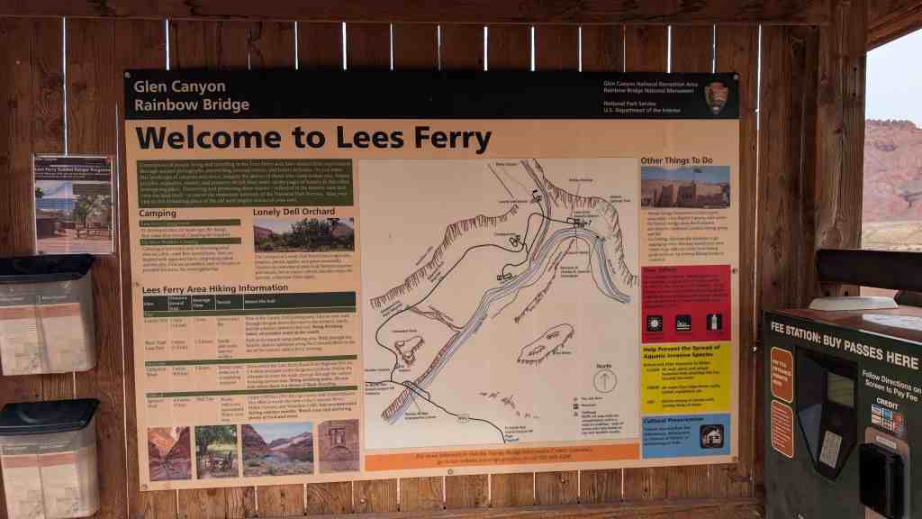
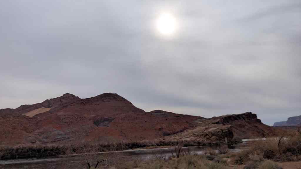
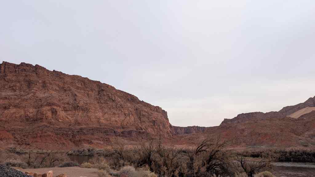
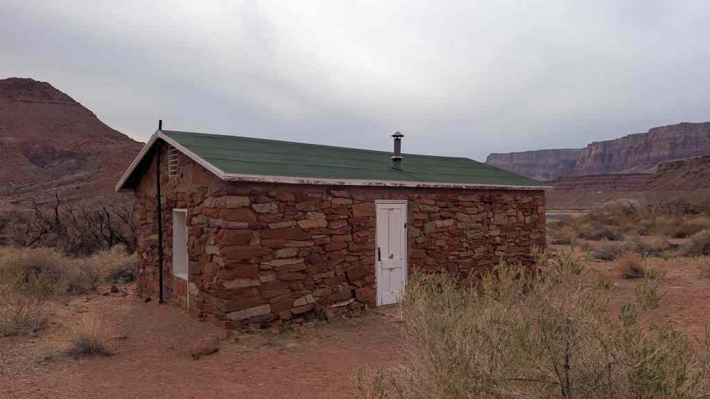
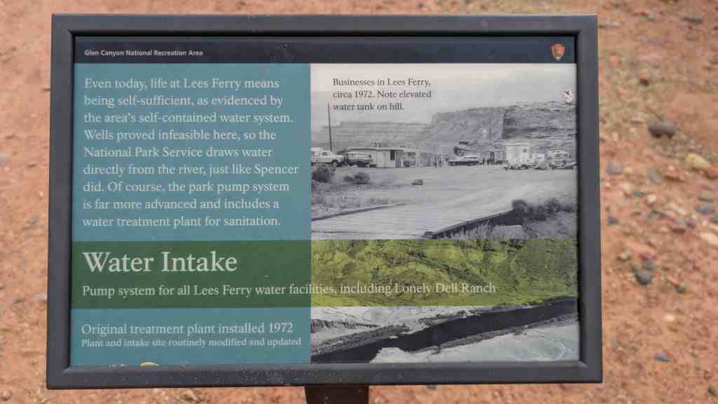
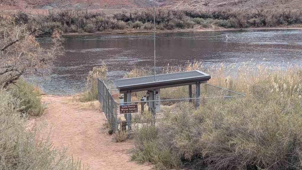
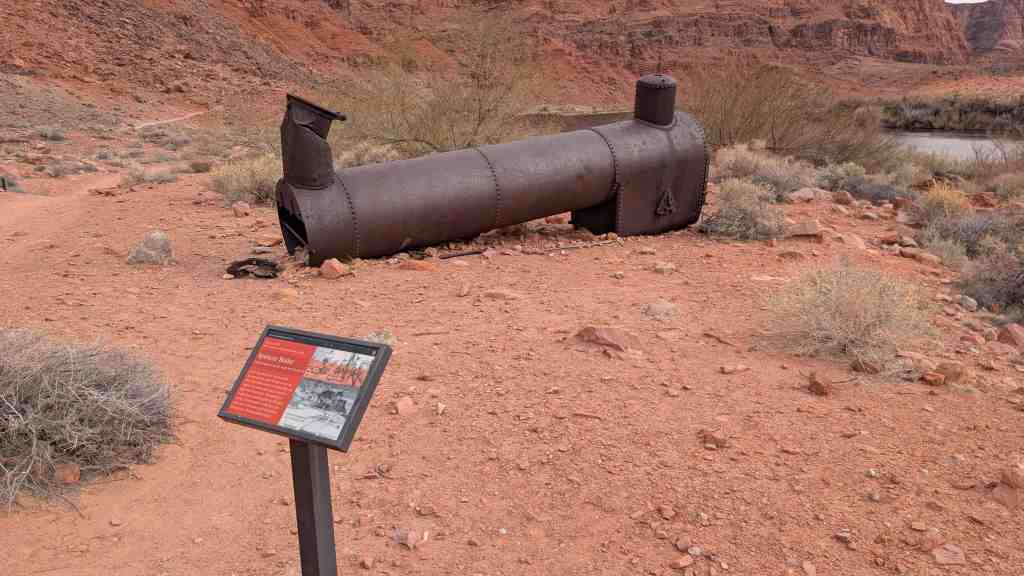
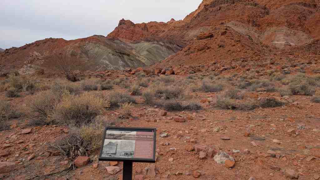
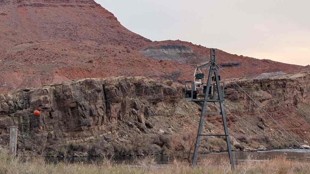
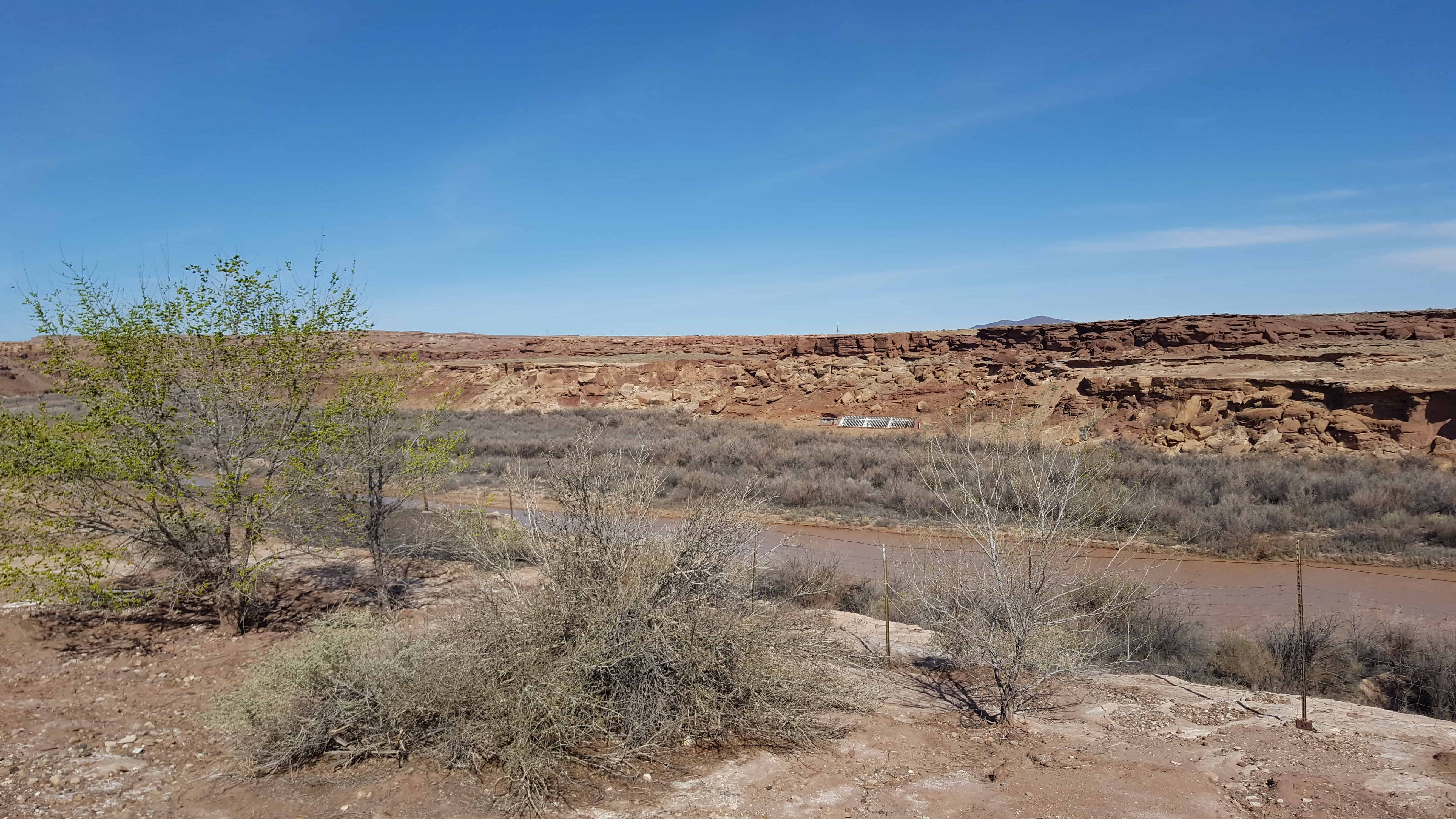
Looking across House Rock Valley at the Vermillion Cliffs.


08 Sunday Jan 2017
Posted in Uncategorized
Looking across House Rock Valley at the Vermillion Cliffs.
08 Sunday Jan 2017
Posted in Uncategorized
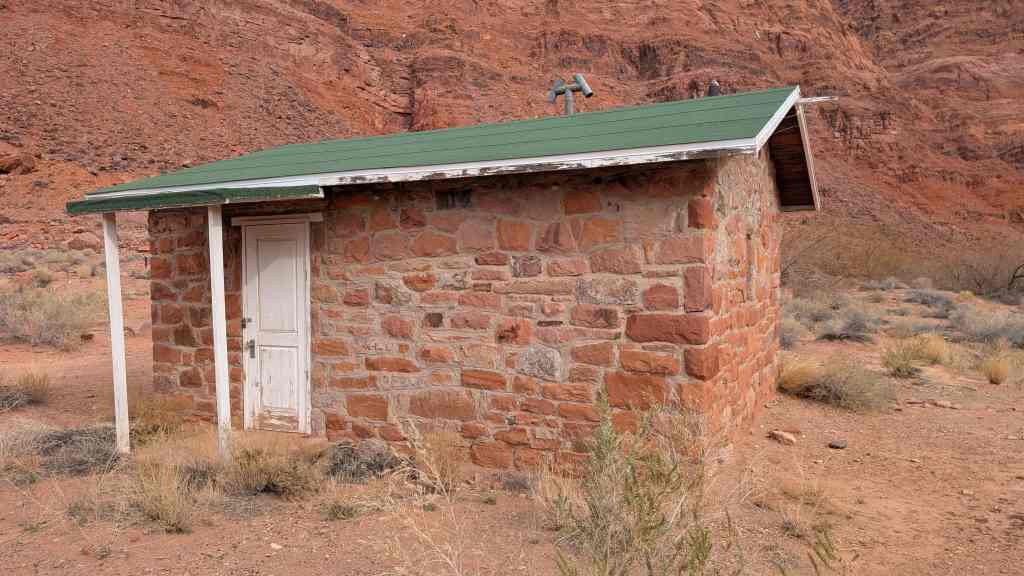
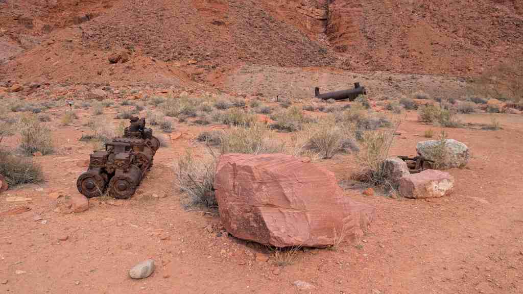
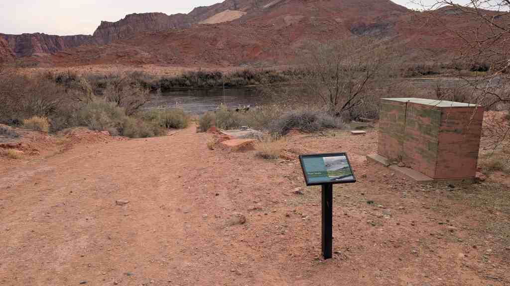
08 Sunday Jan 2017
Posted in Uncategorized


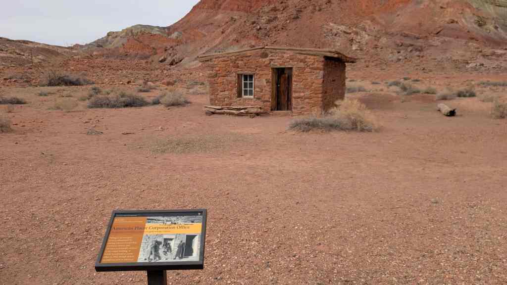
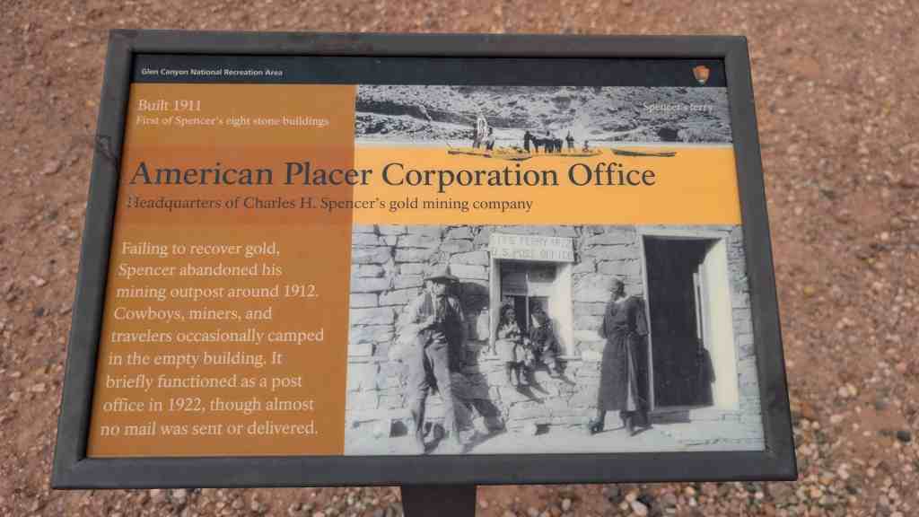
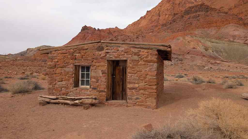
Cameron (Orinally Tanner’s Crossing)
Named for one of Arizona’s first U.S. Senators. A pioneer in development of trails and copper mines in Grand Canyon. Near here was the site of Tanner’s Crossing of the Little Colorado River on The Mormon Trail from Utah via Lee Ferry to settlements in Arizona and Mexico.
n 1911, a sway-back, one-track suspension bridge was erected over a gorge of the Little Colorado on the edge of Navajo and Hopi country. Hubert and C.D. Richardson built a small trading post there in 1916.
Designer – Midland Steel Co.
Location – Cameron, Arizona, USA
Date – 1911
Building Type – Transportation
Construction System – Concrete, Steel, Aluminum
Architectural Style – Suspension-truss hybrid
Street Address – Carries US 89 over the Little Colorado River
Notes – also known as Cameron Bridge;Little Colorado River Bridge
Related:


02 Monday Jan 2017
Posted in Uncategorized
Tags
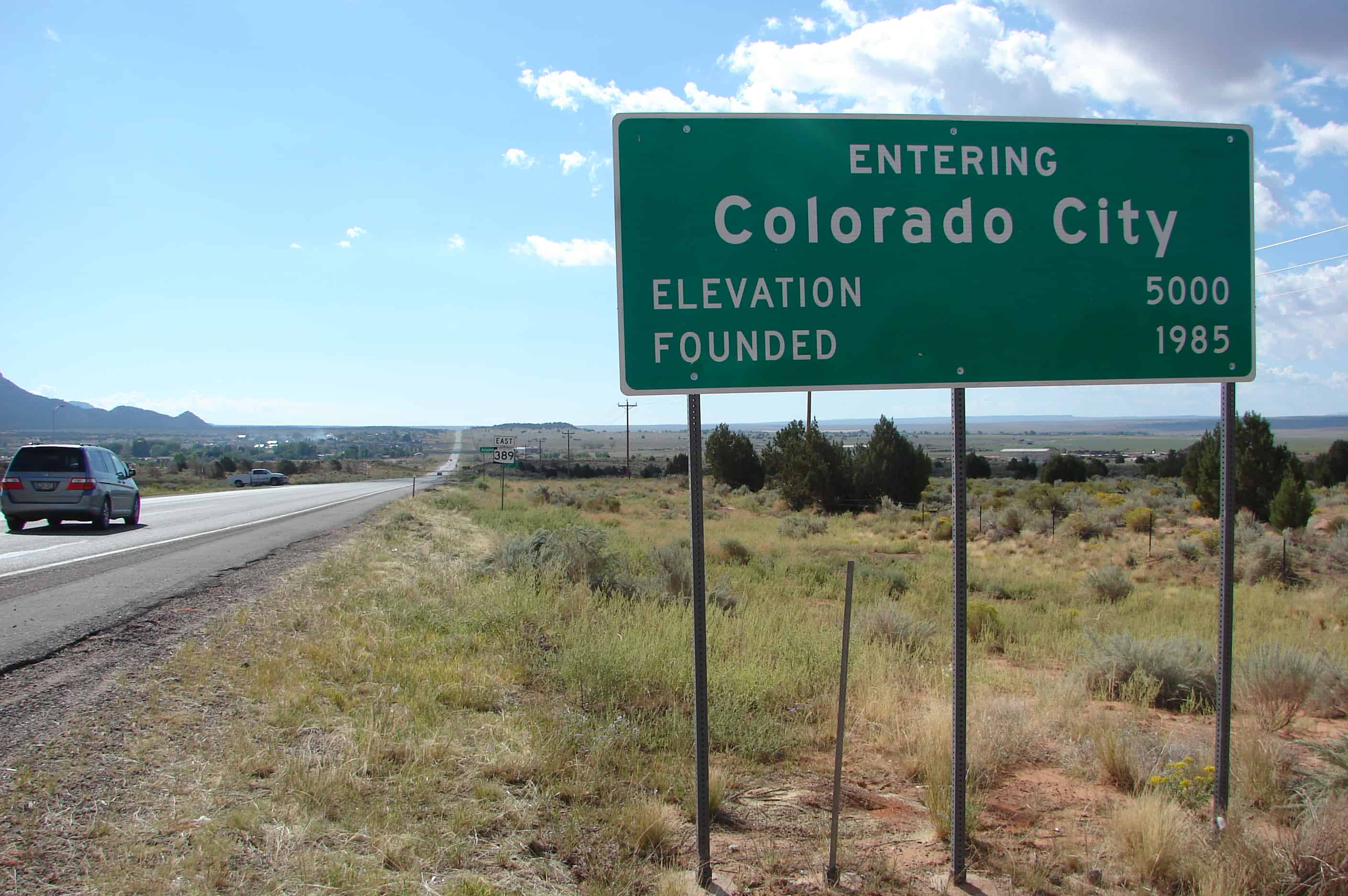
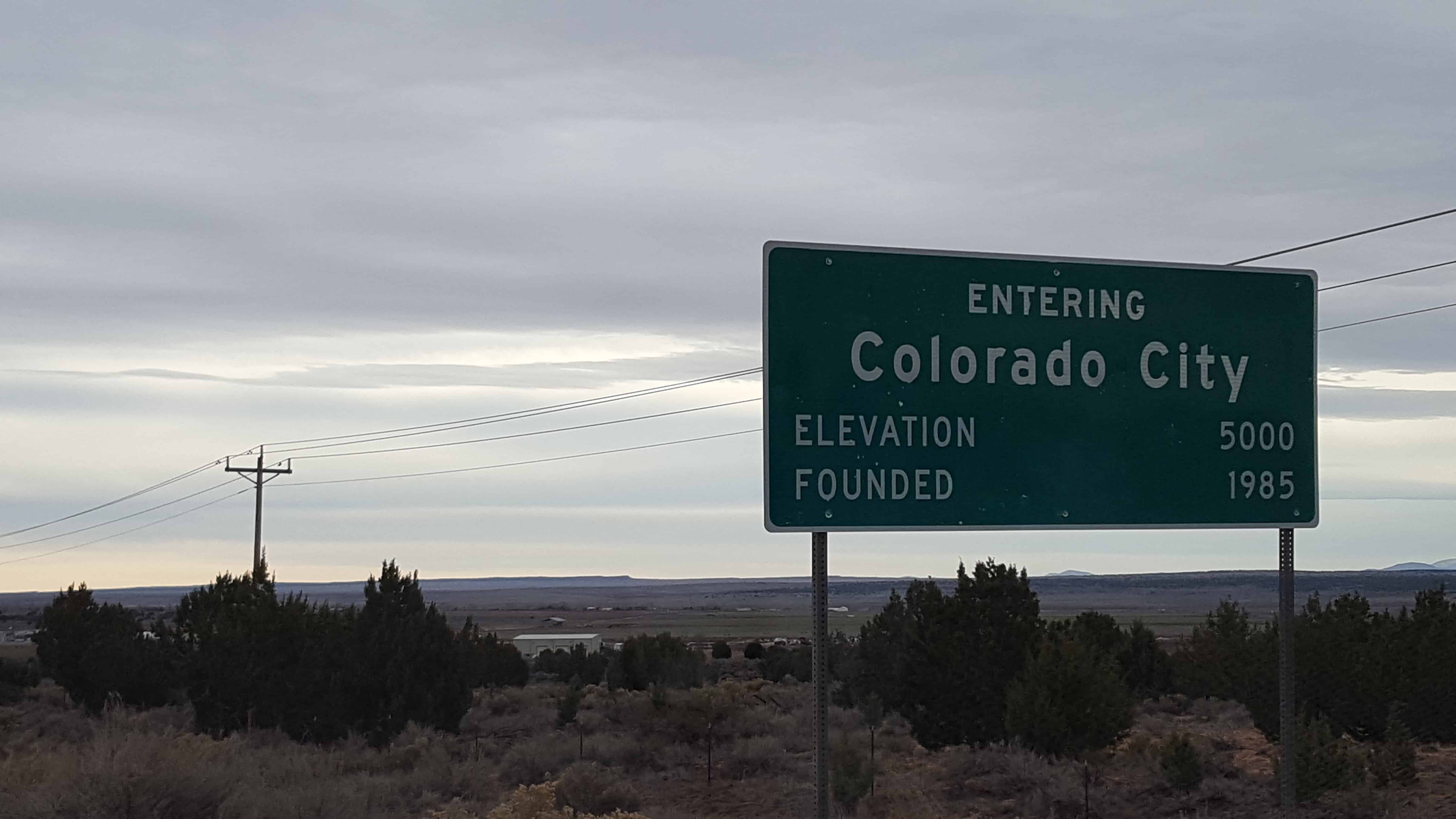
Colorado City, formerly known as Short Creek (or the Short Creek Community), was founded in 1913 by members of the Council of Friends, a breakaway group from the Salt Lake City-based The Church of Jesus Christ of Latter-day Saints (LDS Church). The Council of Friends membership desired a remote location where they could practice plural marriage, which had been publicly abandoned by the LDS Church in 1890. On July 26, 1953, Arizona Governor John Howard Pyle sent troops into the settlement to stop polygamy in what became known as the Short Creek raid. The two-year legal battle that followed became a public relations disaster that damaged Pyle’s political career and set a hands-off tone toward the town in Arizona for the next 50 years.
29 Tuesday Nov 2016
Posted in Uncategorized
Tags

South-east corner of Utah (Four Corners)
Utah, Arizona, Colorado, New Mexico


27 Sunday Nov 2016
Posted in Uncategorized
27 Sunday Nov 2016
Posted in Uncategorized

First exploration probably by early Spanish explorers, Espejo in 1852 and Farfan in 1589. Explored later by Lt. Amiel W. Whipple in 1854. Important agriculture, mining, milling, and smelting area in our early days. The McCrackin Mine discovered by Jackson McCrackin and H. A. “Chloride Jack” Owen in 1874, lies 18 miles south. The Signal Mine was 12 miles south. Stamp mills were at Greenwood, 8 miles southwest and at Virginia City, 9 miles southwest. Cofer Hot Springs 3 miles east.


19 Saturday Nov 2016
Posted in Uncategorized
Tags
Arizona, DUP, historic, LDS, LDS Church, Maricopa County, Mesa

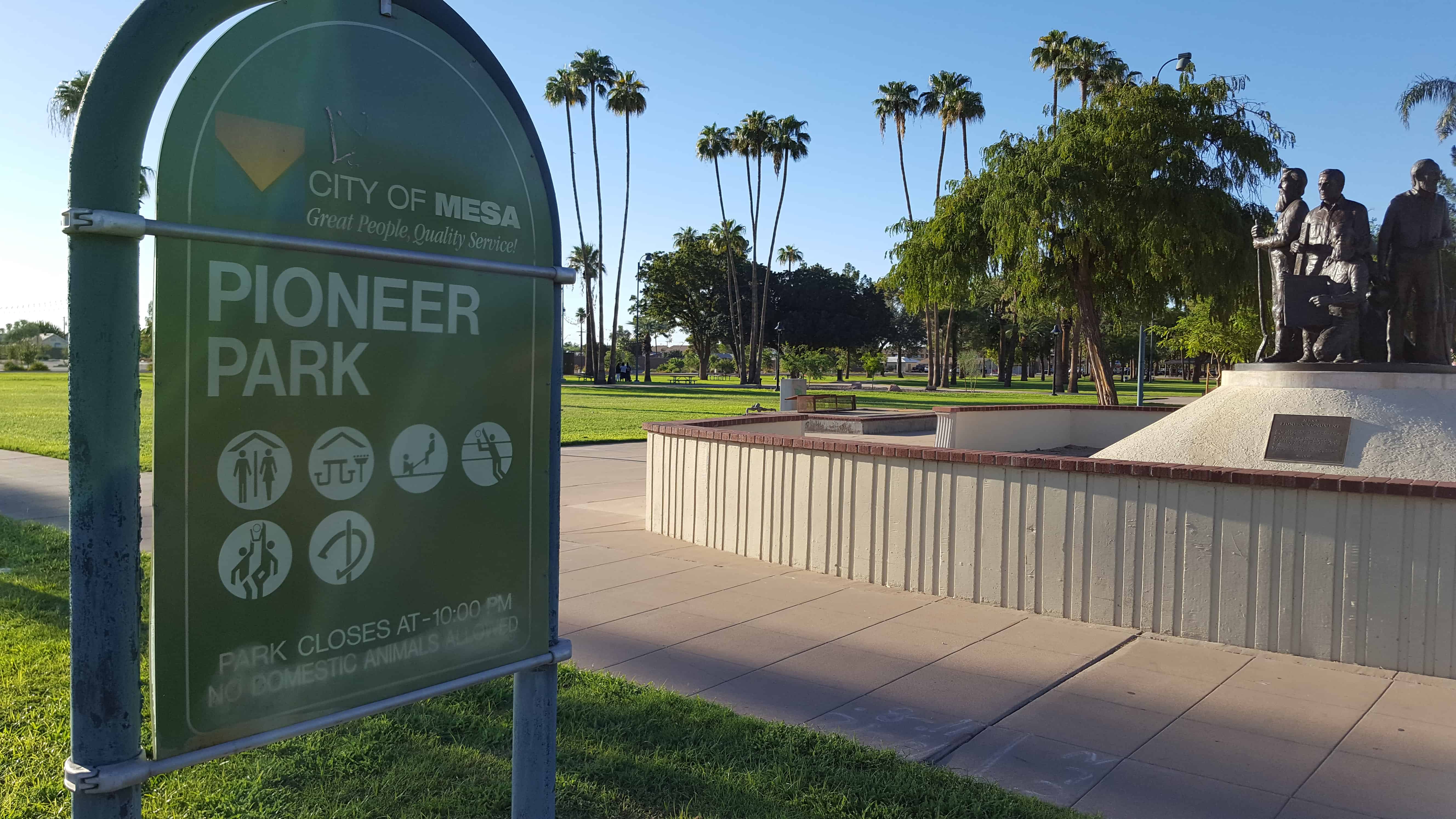
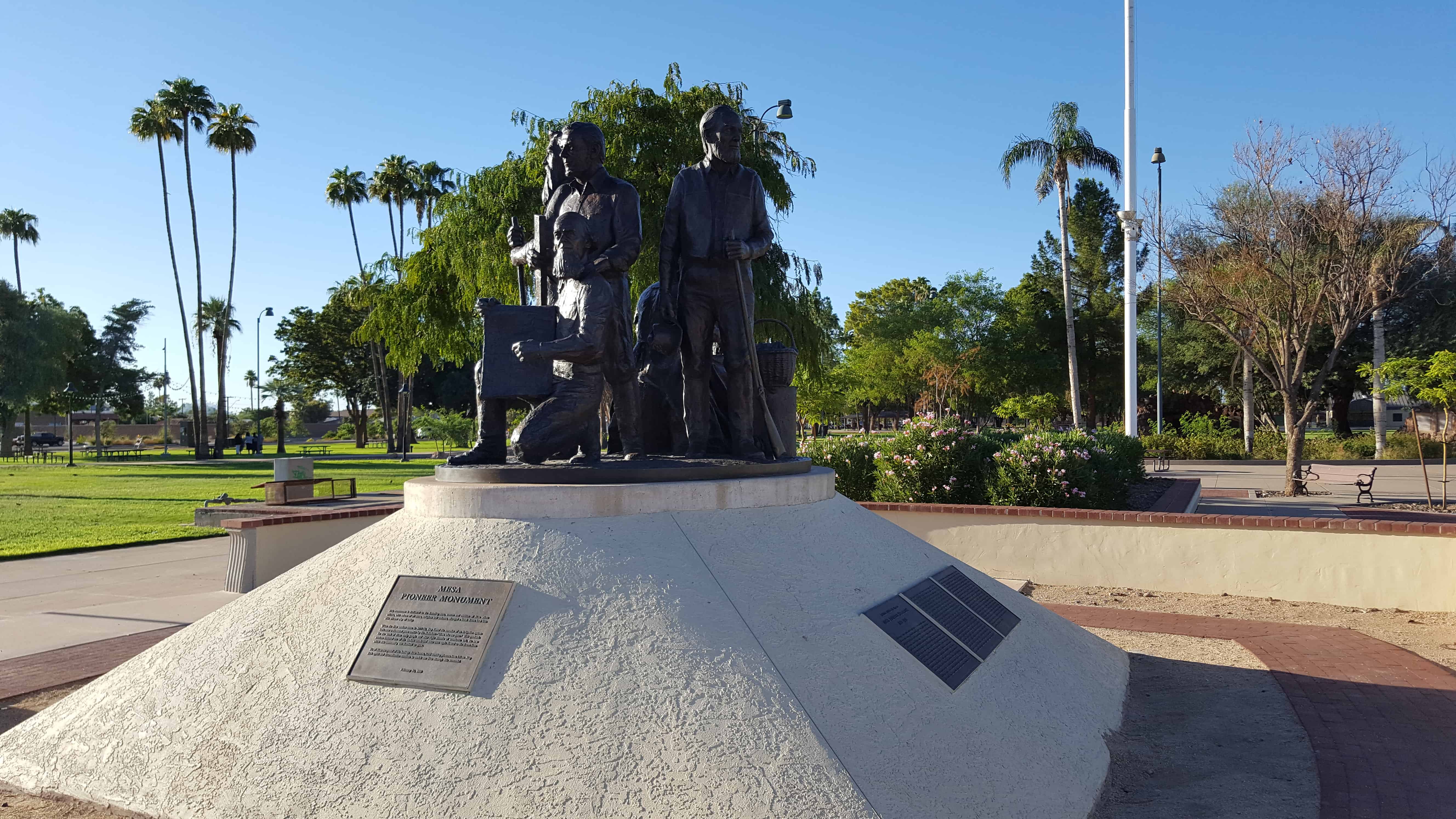
DUP Marker #532 – Located in Mesa’s Pioneer Park.
Arizona’s Honeymoon Trail
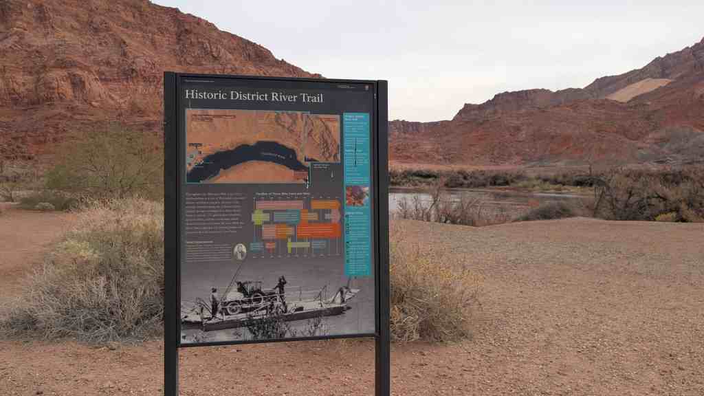
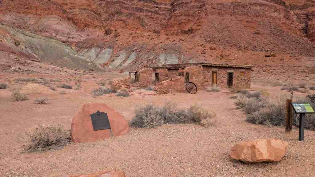
For nearly forty years, couples from Arizona settlements left their homes each fall after harvest and traveled 400 miles to St. George, Utah. Winding slowly through desert and steep canyons, crossing barren plateaus, and passing rivers and pools of undrinkable water, these travelers made their way to be married in the St. George Temple, the only temple completed at that time. The trail followed the old wagon road across the Colorado River at Lee’s Ferry. Couples from Snowflake and Taylor were the first known to make the trip in 1881. Some couples married in civil ceremony before leaving, while others were escorted by chaperones. A few couples, waiting to afford the trip, had children who accompanied them. Frequently couples banded together for the trip. Before leaving on the long, hazardous journey, wagons were loaded with food packed in grub boxes, and water barrels were mounted on the wagon sides. Supplies of hay and grain for the animals were also transported. When needed, settlers along the way furnished food and water from their meager supplies.
Because of the romantic nature of these adventures, reporter Will C. Barnes gave the route its name, The Honeymoon Trail. After the Atlantic Pacific Railroad was completed in 1885, a few couples went by train, and later by auto. When the Mesa Arizona Temple was dedicated in 1927, the journey was no longer necessary. The old trail still is visible in a few places. The route was added to the National Register of Historic Places in 1986. This slender thread that connected the Arizona settlements to the St. George Temple became an enduring testimony to the faith of these settlers, members of The Church of Jesus Christ of Latter-day Saints. A pattern of sacrifice aided the pioneers in settling the Arizona and New Mexico wilderness.


19 Saturday Nov 2016
Posted in Uncategorized
Tags
Arizona, DUP, historic, LDS, LDS Church, Maricopa County, Mesa

DUP Marker #169 – Located in Mesa’s Pioneer Park.
Mesa
Early in 1878 a hardy band of Mormon pioneers arrived on this mesa. With a straight edge and a spirit level they proved the feasibility of using the ancient Montezuma Canal to bring life-giving irrigation water from the Salt River to the desert sands. On February 14th work began on this project. A survey was made and stakes driven, May 16, 1878, to plat the townsite according to the “City of Zion” plan given by Joseph Smith, the founder of the Church of Jesus Christ of Latter-Day-Saints. Elijah Pomeroy was the first Bishop of Mesa and A. F. McDonald the first Mayor. Maricopa County


19 Saturday Nov 2016
Posted in Uncategorized
Tags
Arizona, historic, LDS, LDS Church, Maricopa County, Mesa, Parks