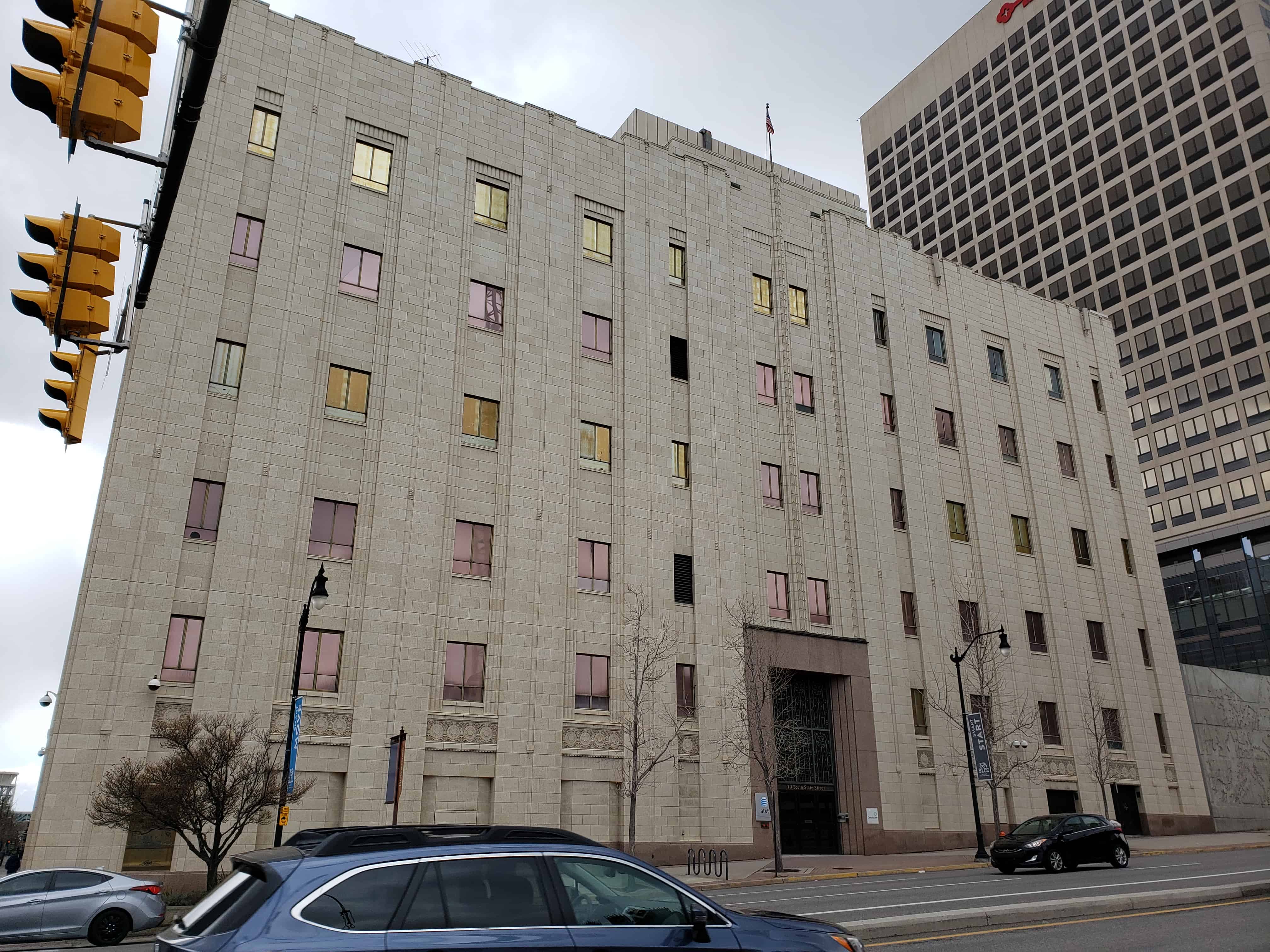
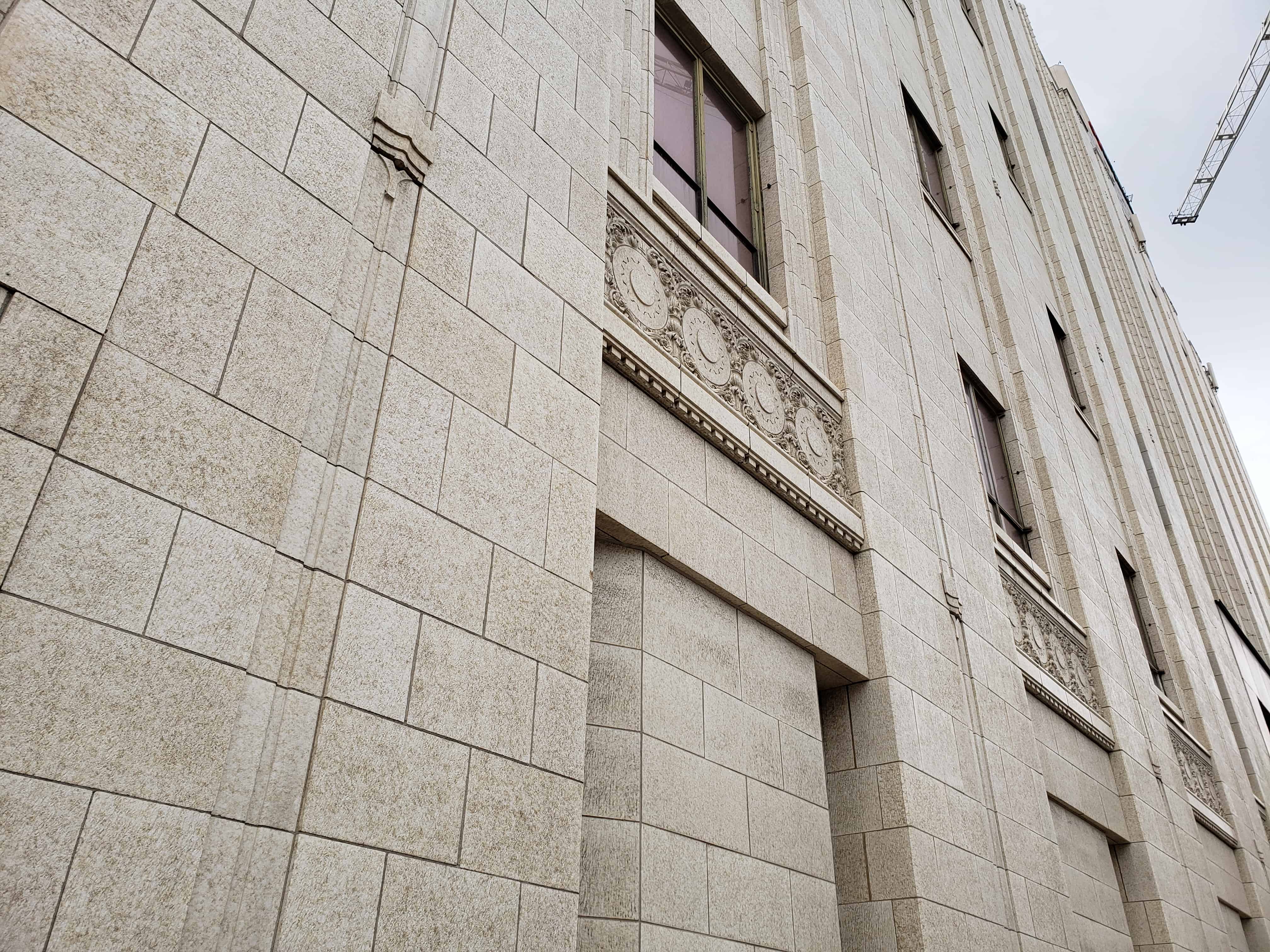
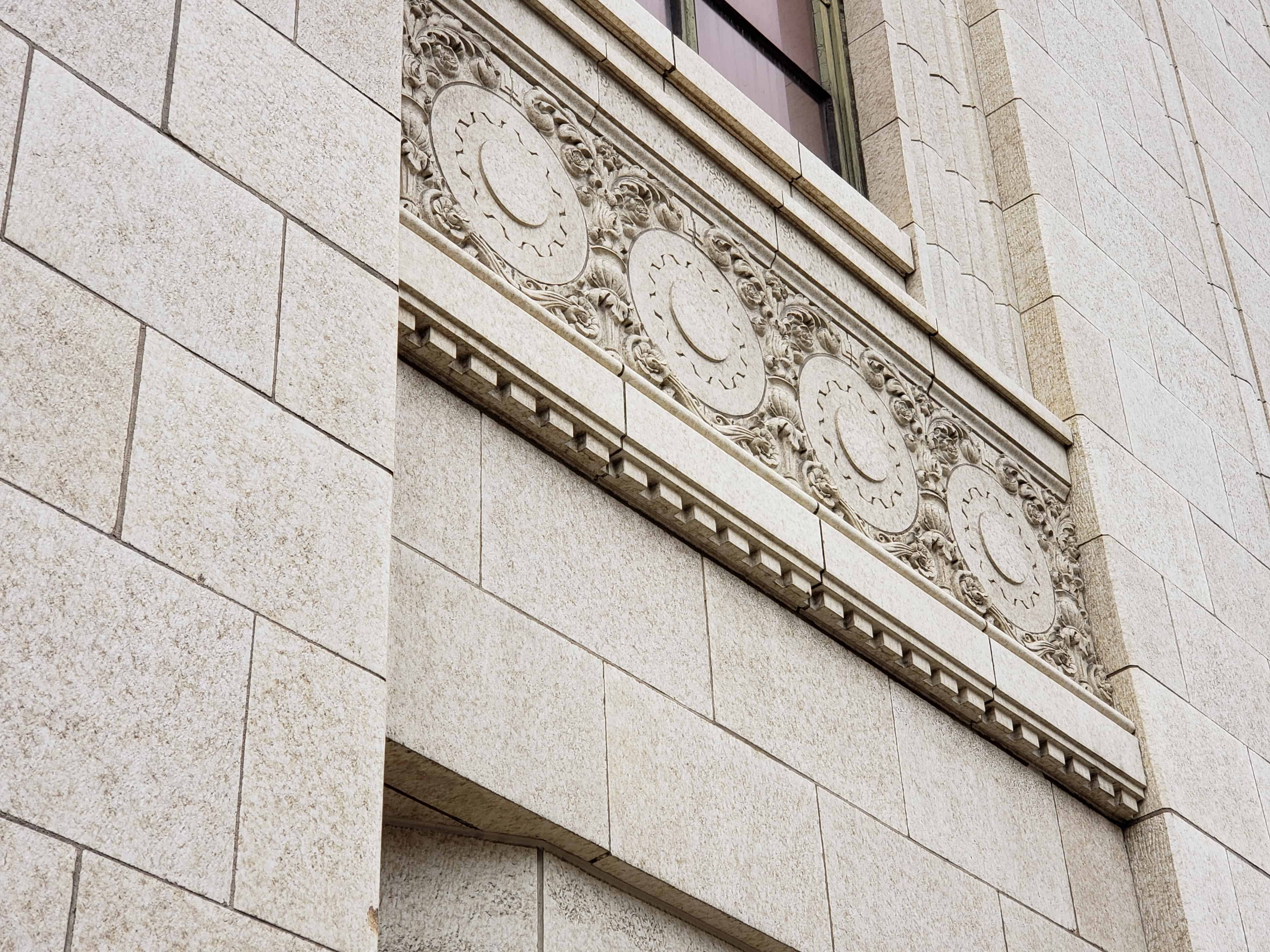
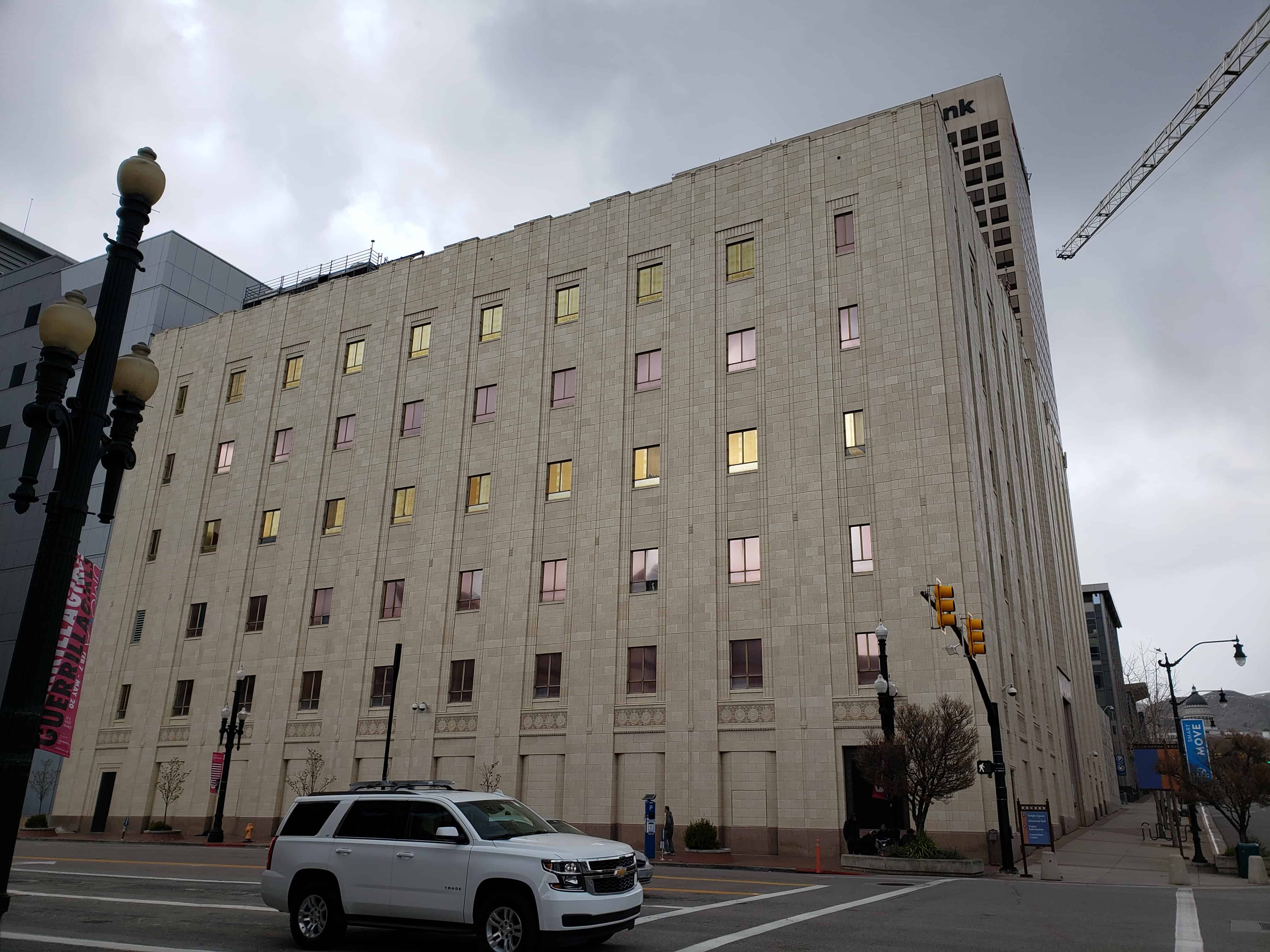
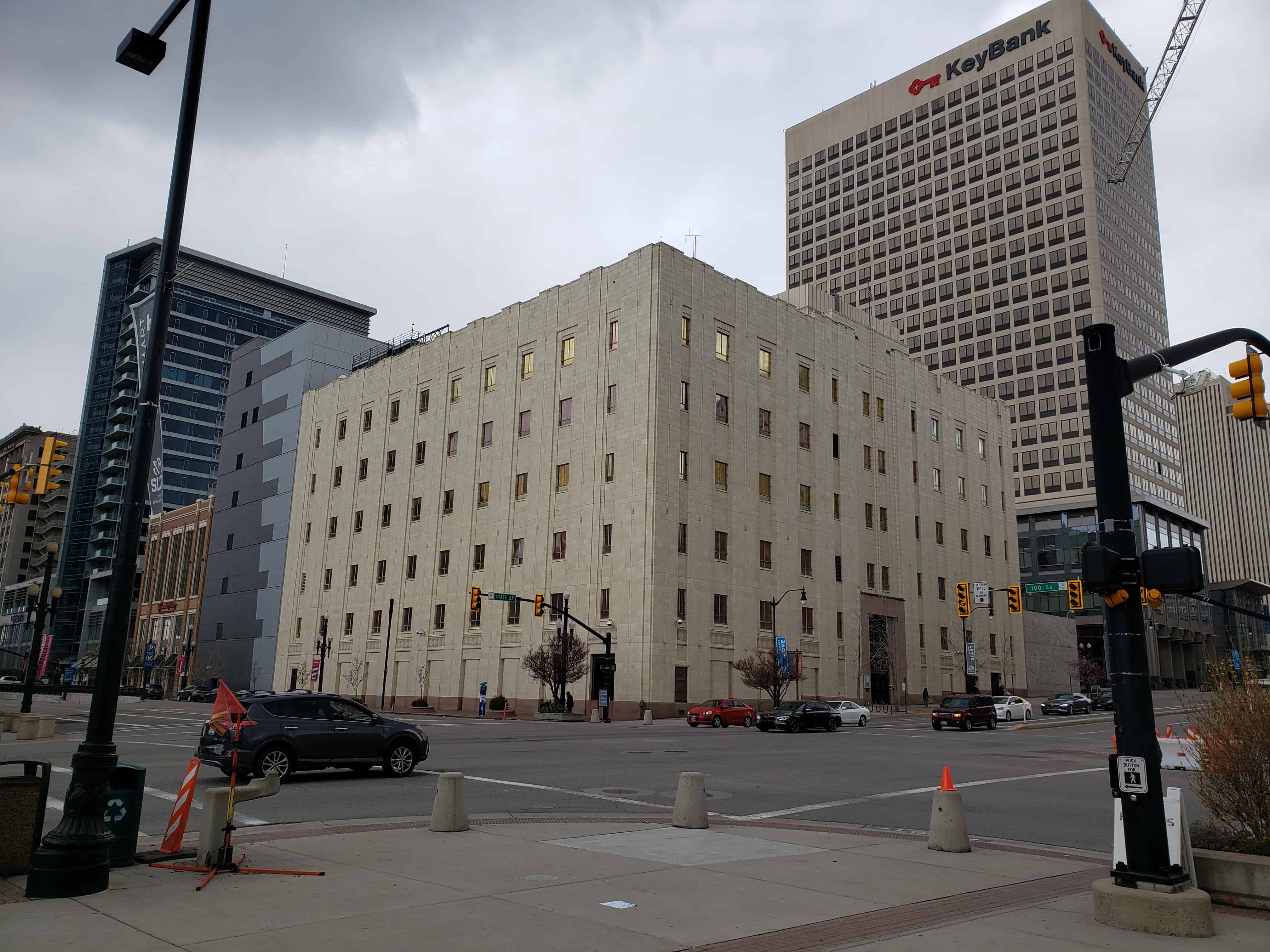
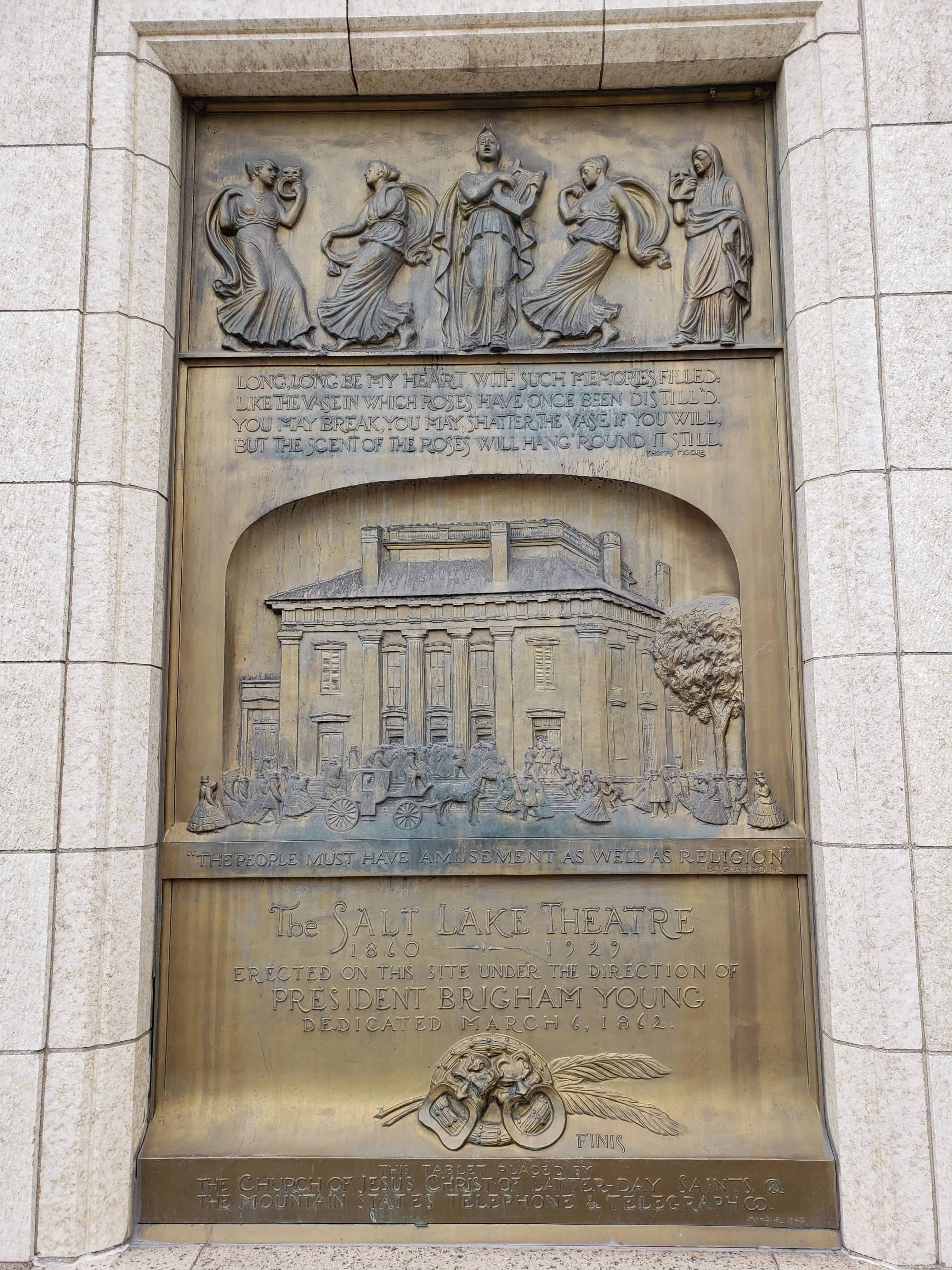
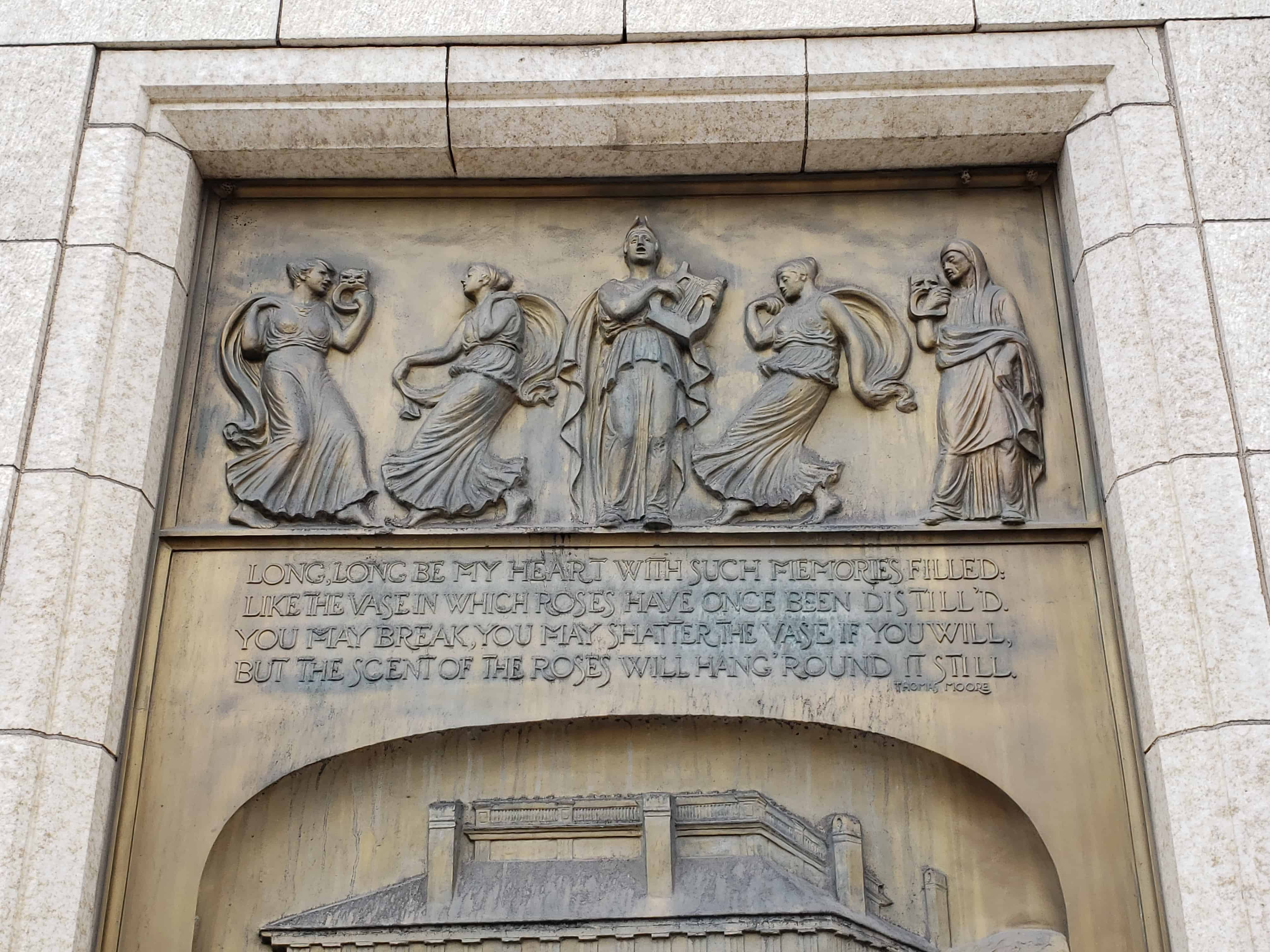
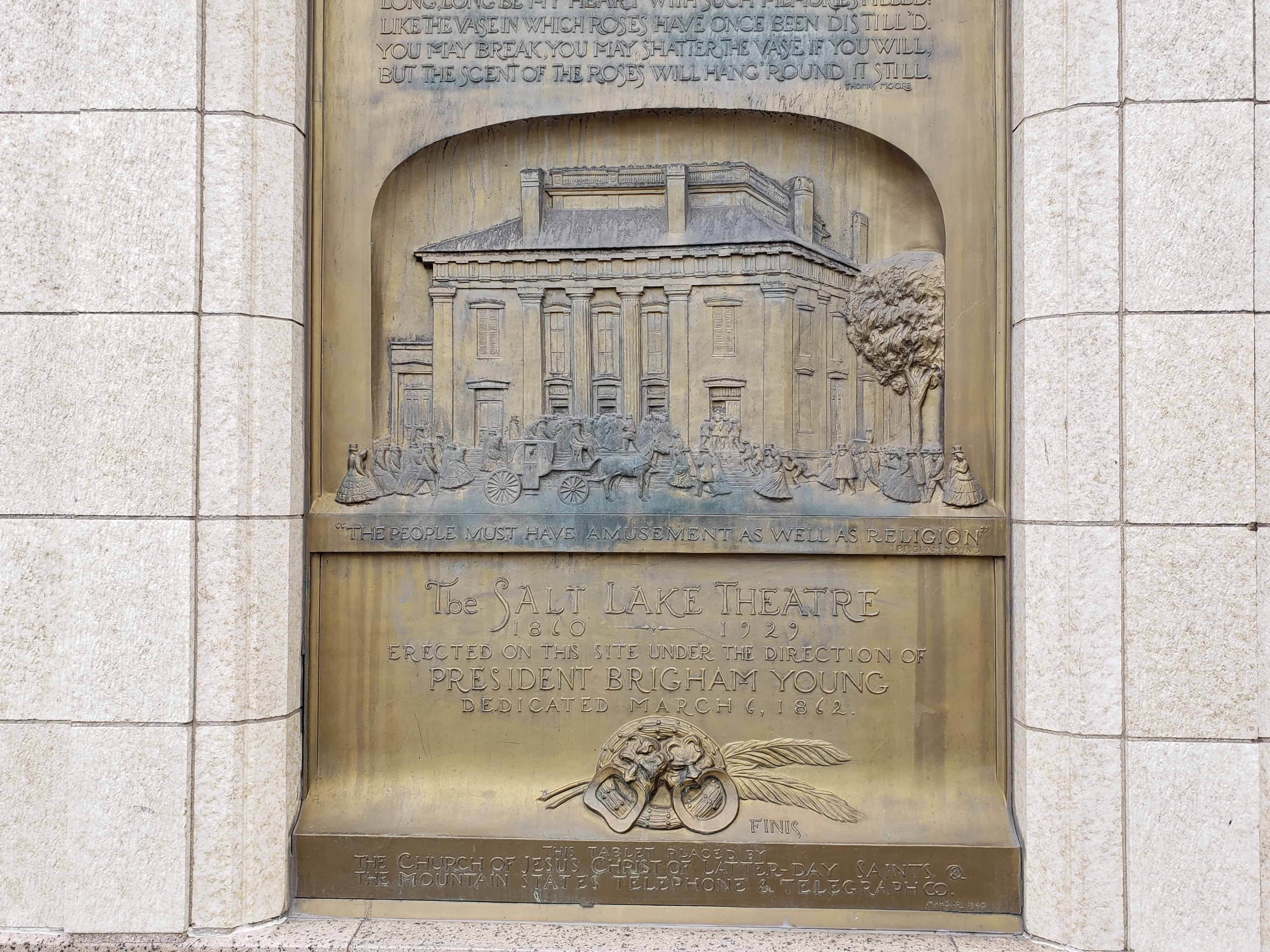
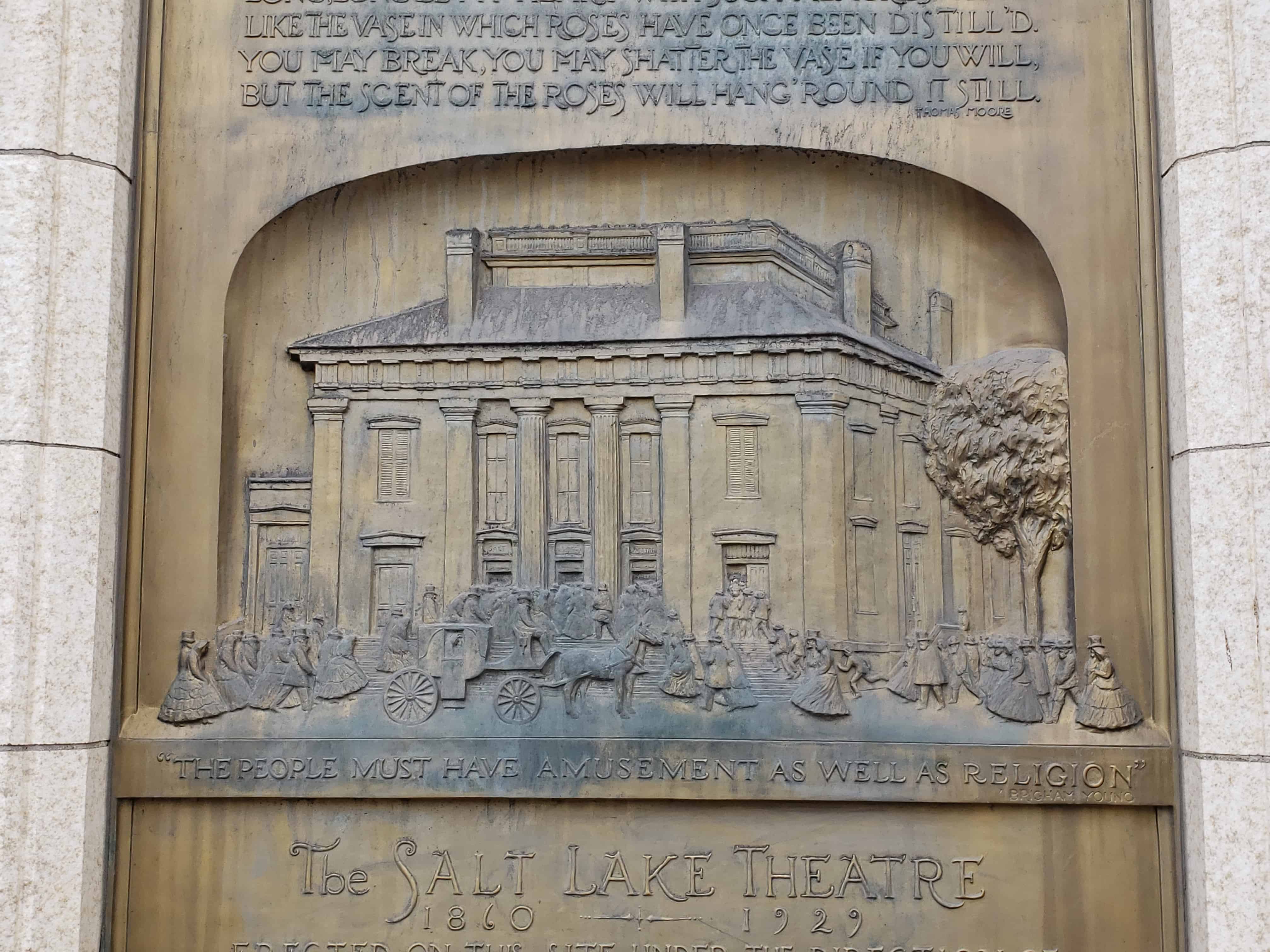
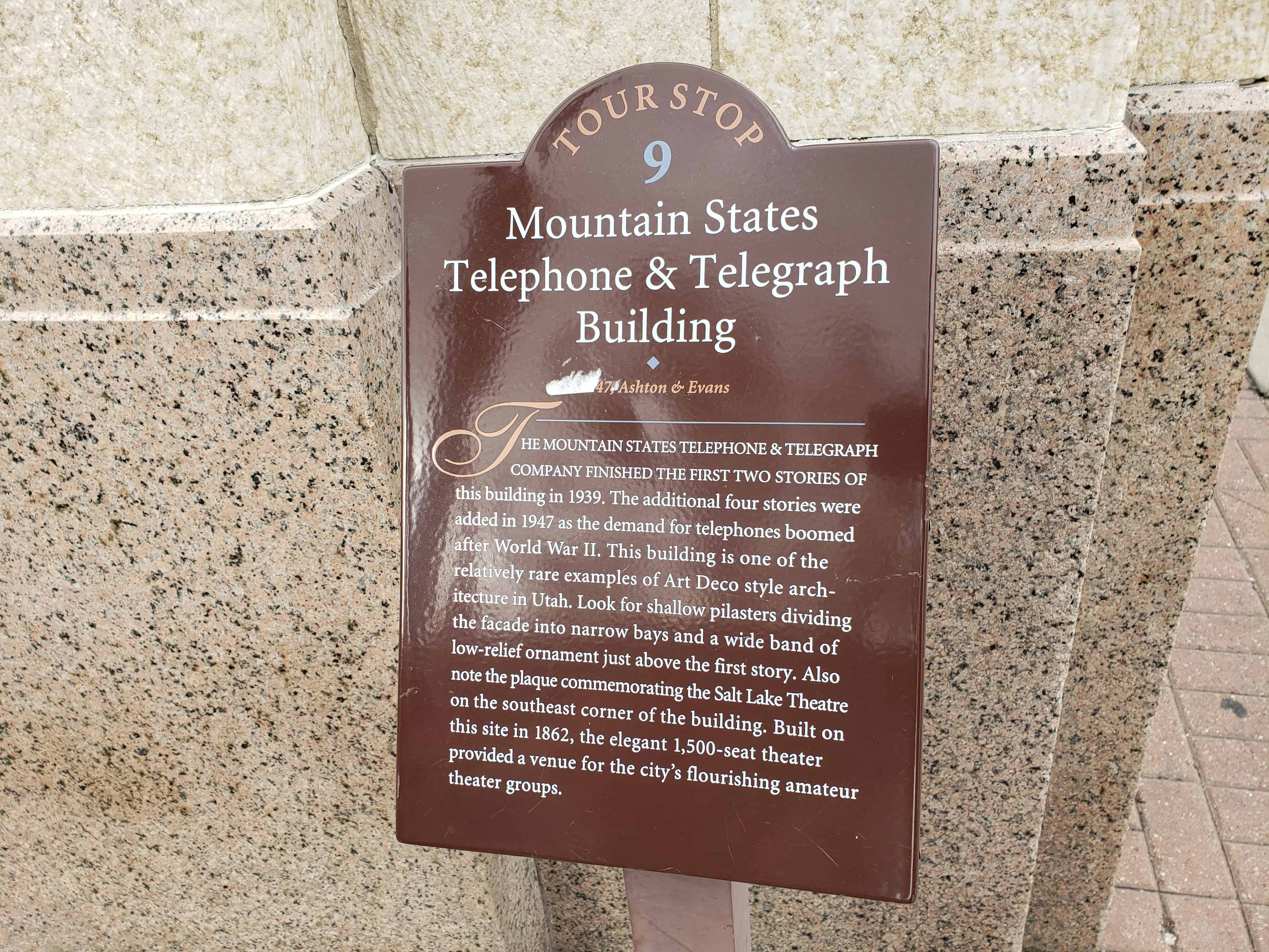
The Mountain States Telephone & Telegraph Company finished the first two stories of this building in 1939. The additional four stories were added in 1947 as the demand for telephones boomed after World War II. This building is one of the relatively rare examples of Art Deco style architecture in Utah. Look for shallow pilasters dividing the facade into narrow bays and a wide band of low-relief ornament just above the first story. Also note the plaque commemorating the Salt Lake Theatre on the southeast corner of the building. Built on this site in 1862, the elegant 1,500-seat theater provided a venue for the city’s flourishing amateur theater groups.
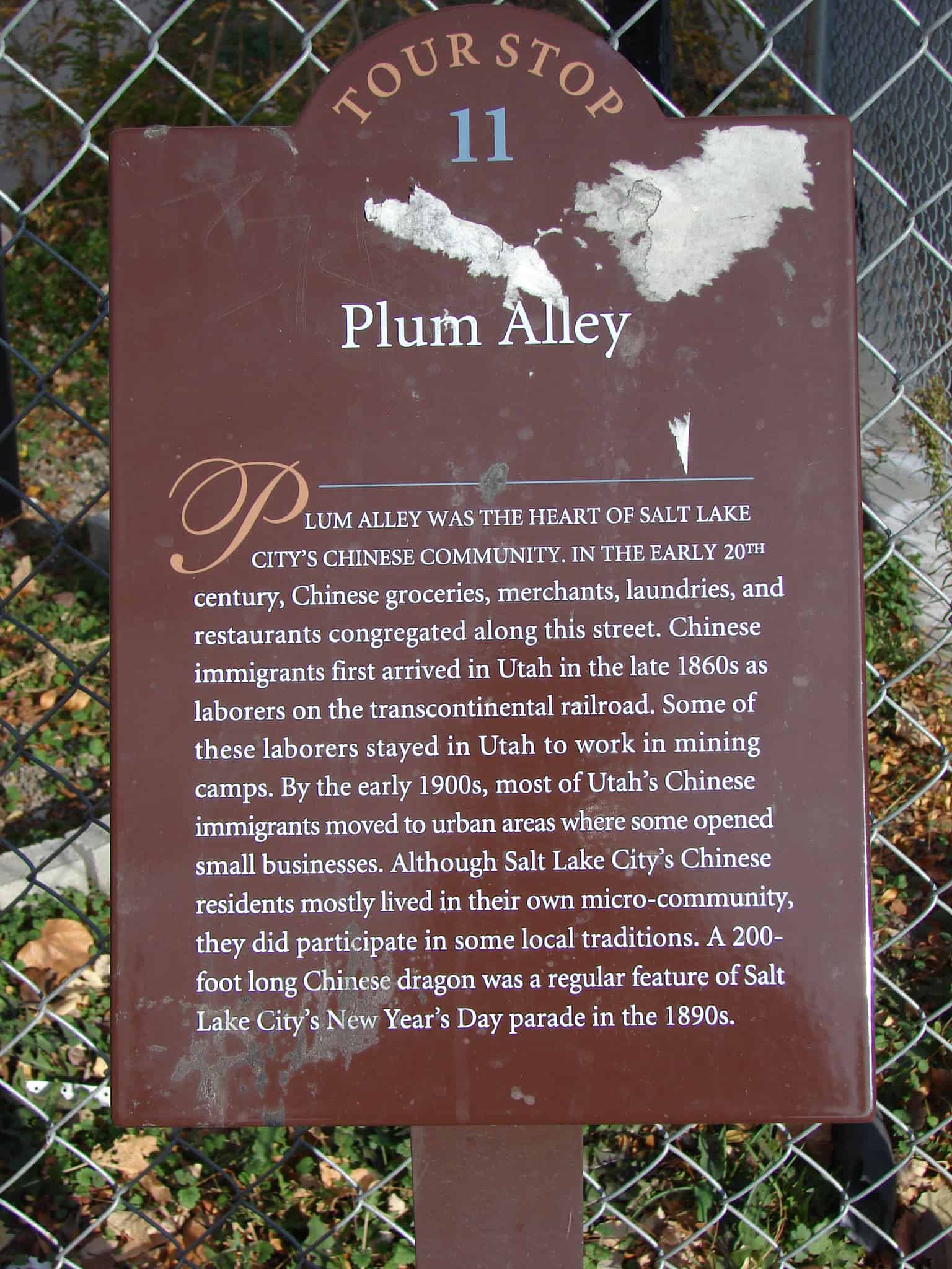
Plum Alley was the heart of Salt Lake City‘s Chinese community. In the early 20th century, Chinese groceries, merchants, laundries and restaurants congregated along this street. Chinese immigrants first arrived in Utah in the late 1860s as laborers on the transcontinental railroad. Some of these laborers stayed in Utah to work in mining camps. By the early 1900s, most of Utah’s Chinese immigrants moved to urban areas where some opened small businesses. Although Salt Lake City’s Chinese residents mostly loved in their own micro-community, they did participate in some local traditions. A 200-foot long Chinese dragon was a regular feature of Salt Lake City’s New Year’s Day parade in the 1890s.
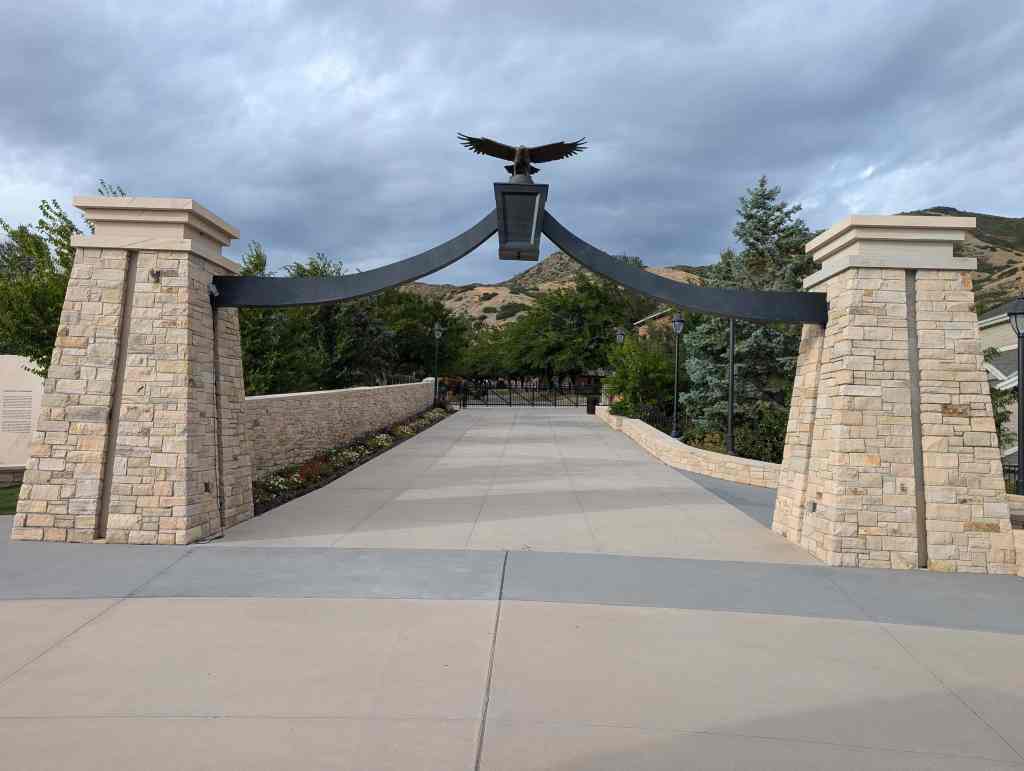
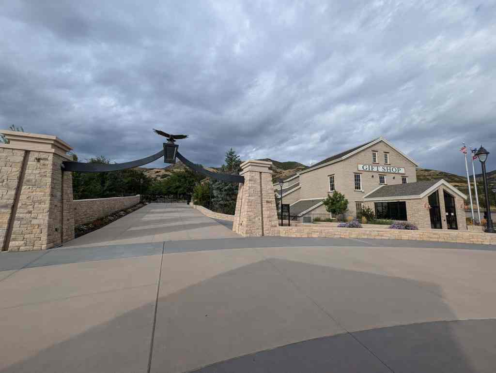
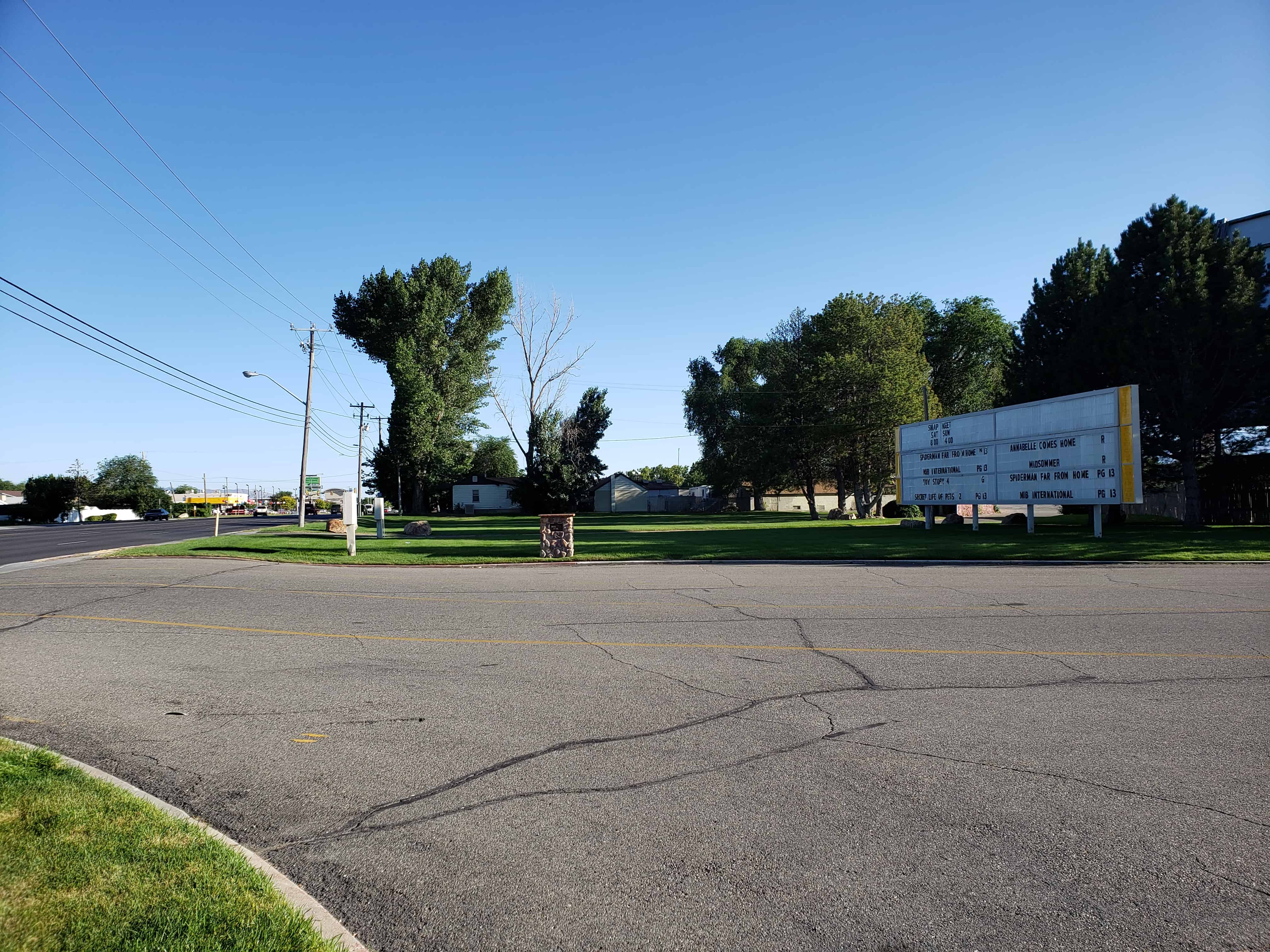
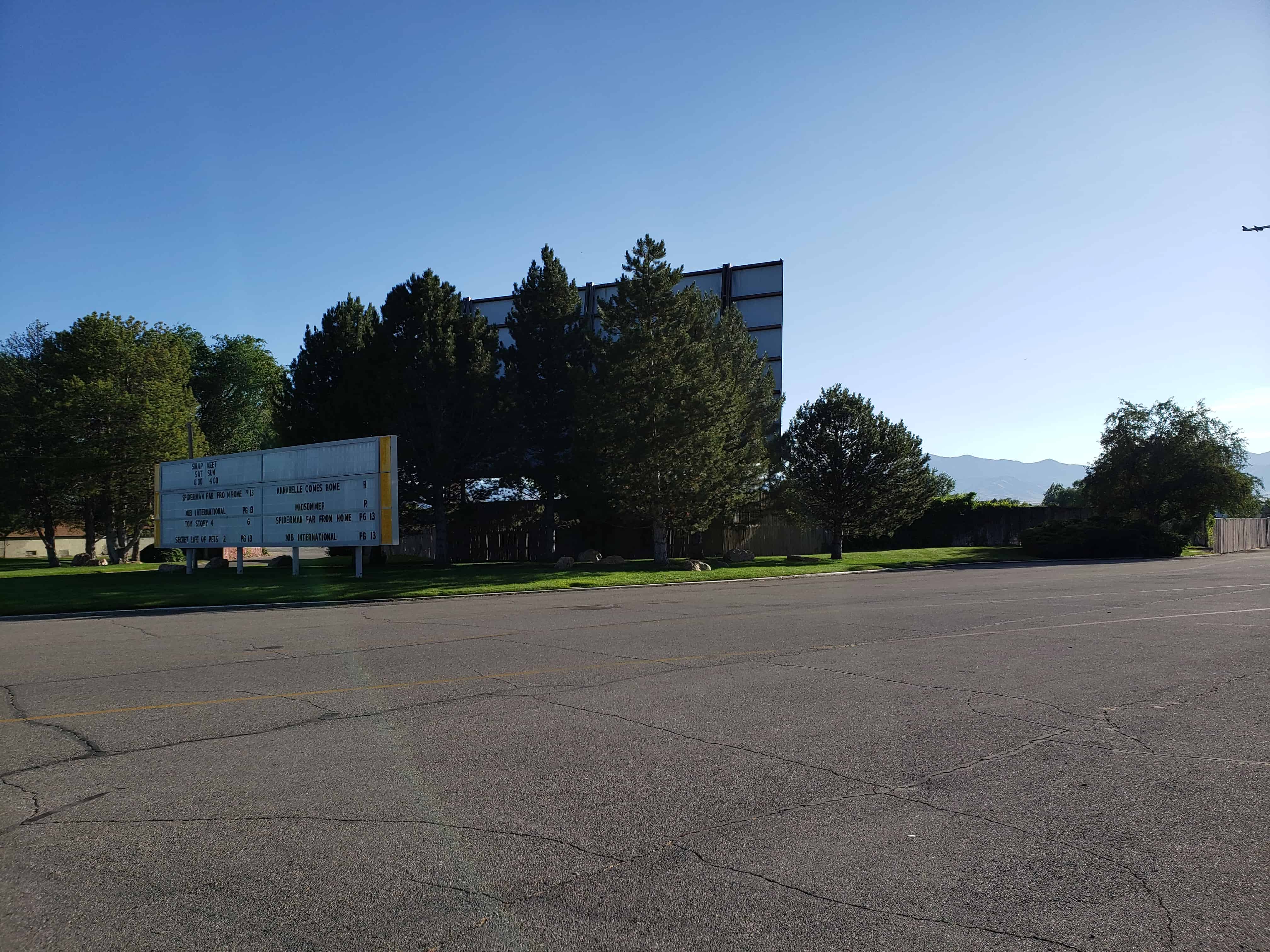
Other Salt Lake City Tour plaques are listed here.
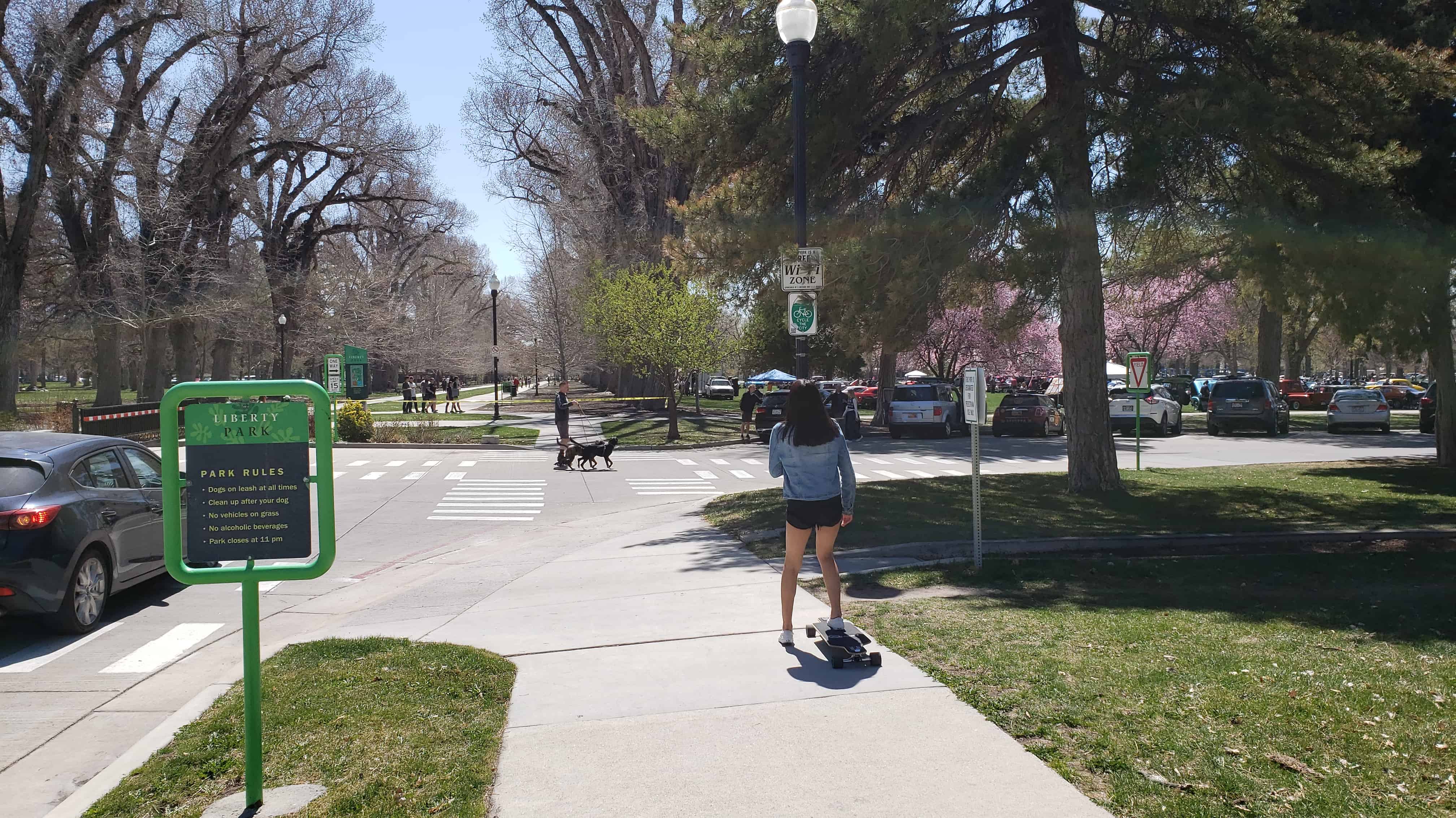
The entire 110 acres of the park was listed on the National Register of Historic Places in 1980 as Liberty Park.
It was established in 1881 upon purchase from the estate of Brigham Young. It is significant as “Utah’s best example of the ‘central park'”, following example of New York City’s Central Park in the general reform movement that represented.
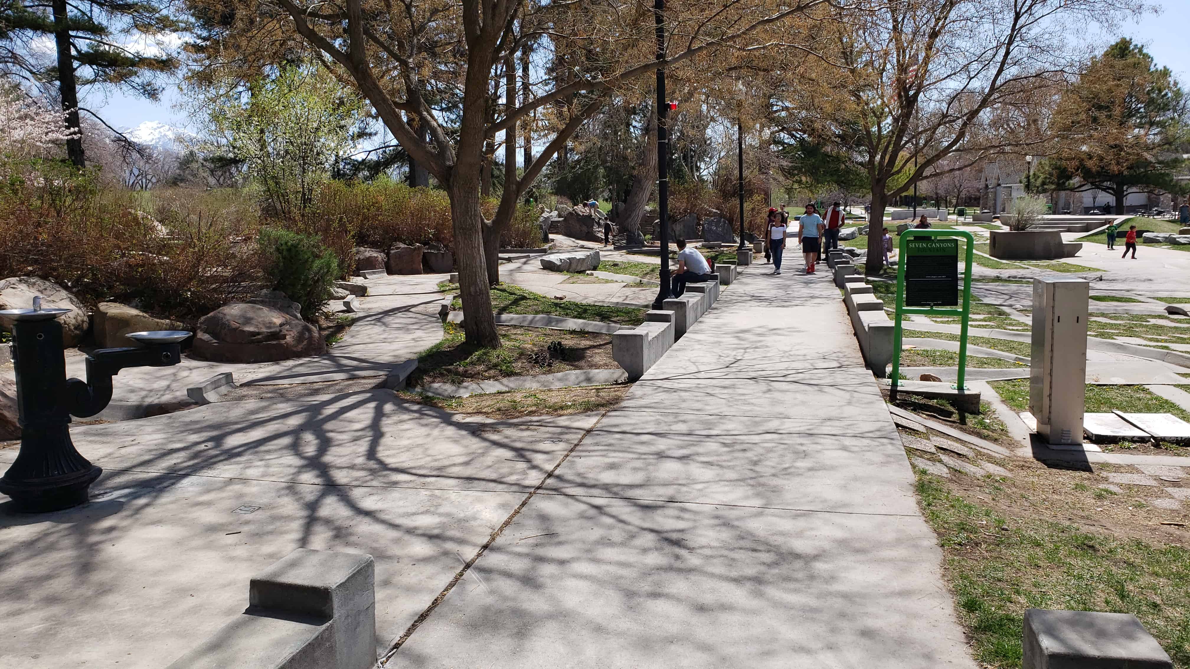
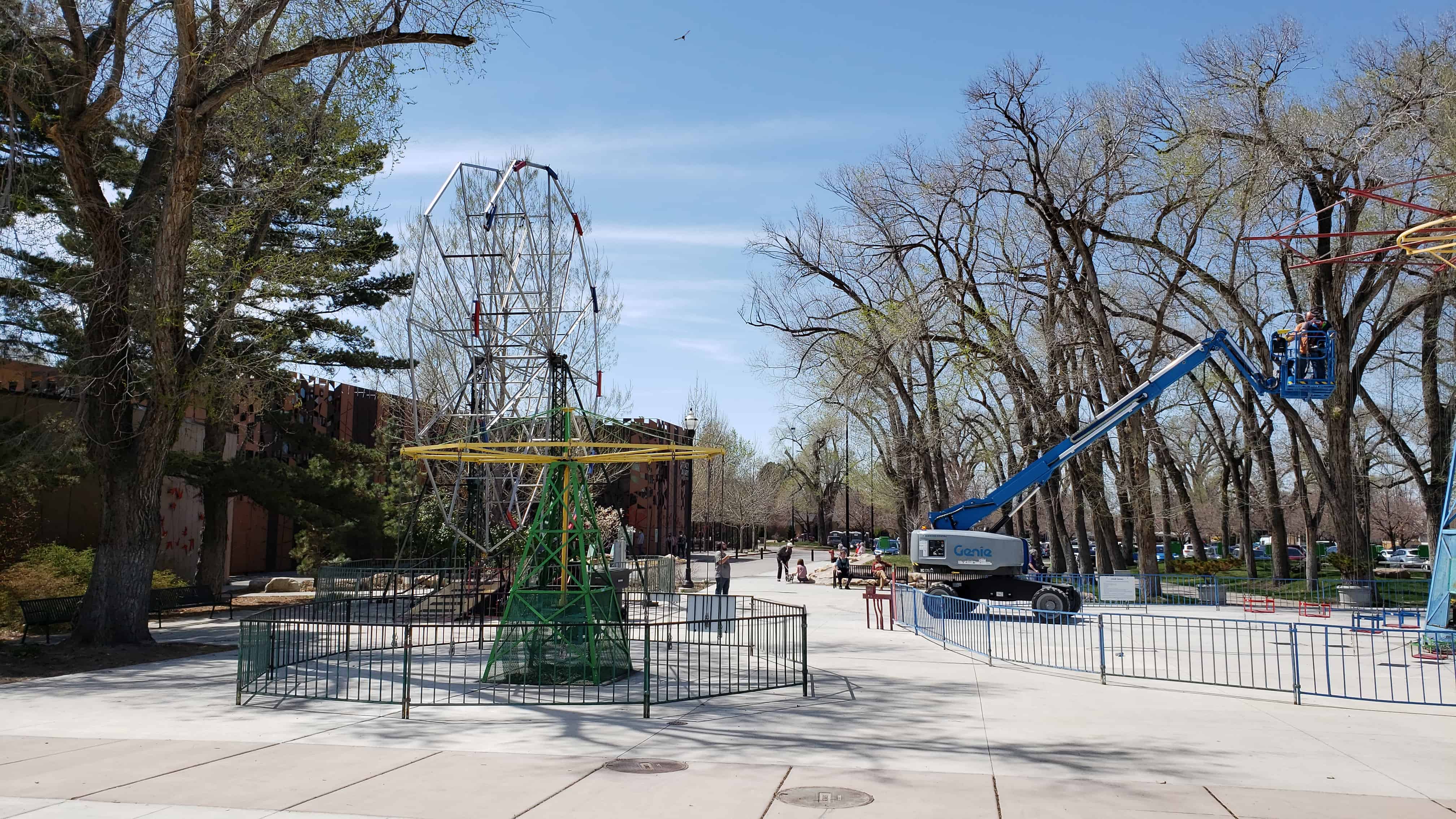
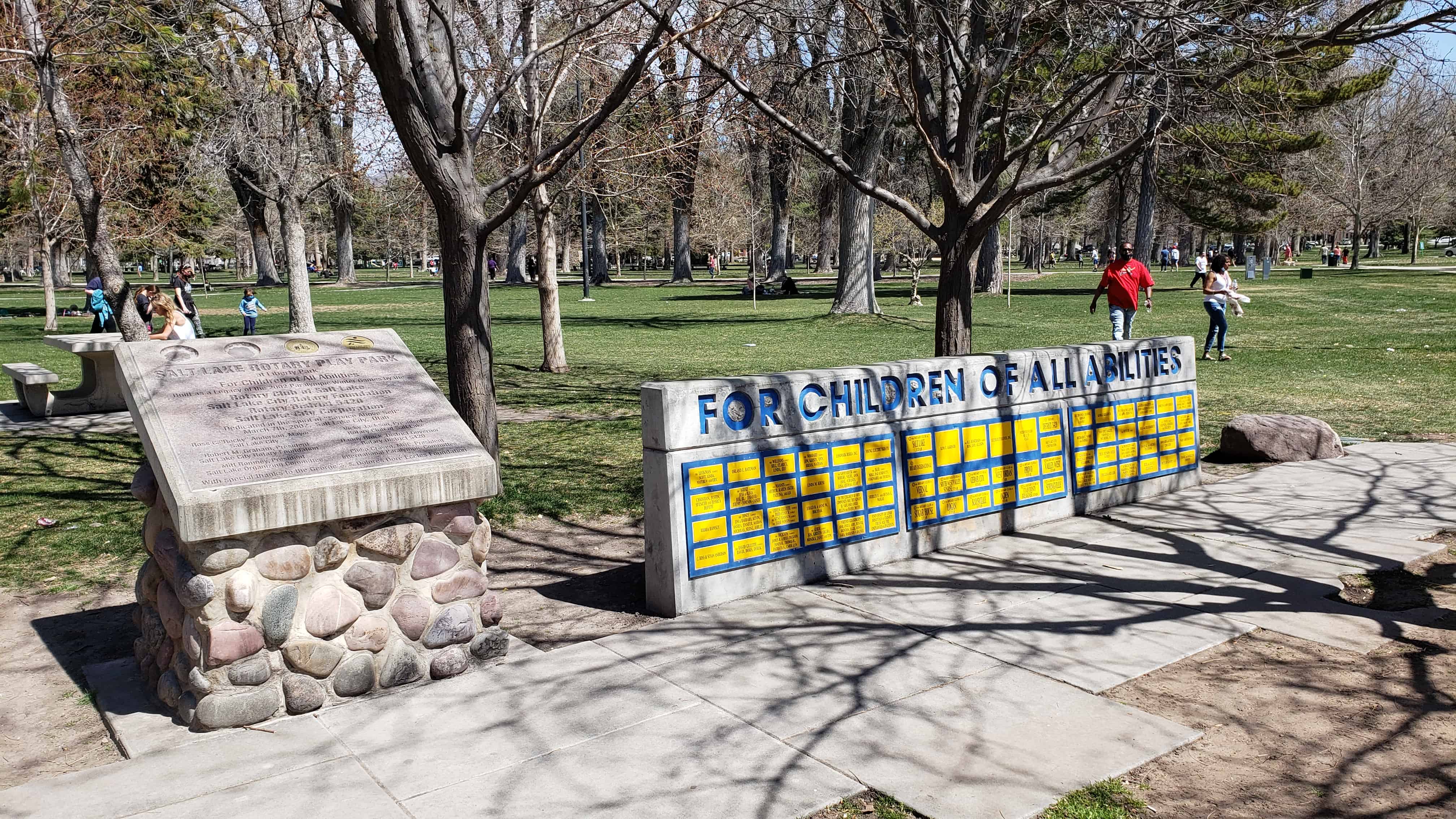
Several historic buildings and markers are located throughout the park.
Liberty Park is significant as one of the earliest and largest urban parks in Utah. Originally purchased by Salt Lake City in 1881 from the estate of Brigham Young, it is Utah’s best example of the “central park.” It documents the spirit of reform of the second half of the nineteenth century, when parks were seen as important factors in civilizing America’s increasingly industrialized cities and improving the moral character of their inhabitants. Many American cities followed the pattern of New York City’s Central Park, which was designed in the late 1850’s. Liberty Park is laid out on the site of a mill and farm established by Isaac Chase (the Isaac Chase Mill is listed on the National Register).
Liberty Park was established on the site of the Isaac Chase Farm and Mill. Chase had been assigned a plot in the original “Big Field Survey” of 1847, which distributed farm plots to the first settlers of the Salt Lake Valley. Because of the mill and the large trees on the farm, it was locally known as Forest Park, the locust Patch and the Mill Farm. The farm and mill were purchased by Brigham Young in 1860, who traded Chase for property in Centerville in Davis County, which Chase never occupied. Brigham Young reportedly expressed the desire that the property be purchased by the city “for the lowest price” after his death. On April 20, 1881, the city paid the Brigham Young estate $27,500 for the farm.
Local newspapers reported that the “locust patch is the only grove within miles of the city and is located about three blocks from the First Ward street car tracks. ‘This grove is large enough for all the purposes that can ever be required….The farm contains as much ground as will be needed for a park for Salt Lake in the next two generations at least, and there is so much that it will never be necessary to keep the grounds like a lawn, as would be the case were it but a ten acre block. The whole can be made to appear rural and rustic, can be sufficiently developed and still give ample room for picnics, for ponds, for walks, for driving and for all other purposes for which parks are used.”
The dedication of the park was originally scheduled for July 4, 1881. Because of the assassination of President Gar field, the celebration was postponed. Although the city waited until the following summer for the dedication, they did not wait until the Fourth of July but instead had the celebration on June 17, 1882, the anniversary of the Battle of Bunker Hill.
The dedicatory procession formed at the City Hall and included Mayor Jennings, ex-mayor Little (who had presided over the purchase of the property), Wilford Woodruff and numerous other city, state, and Mormon Church officials. Music was provided by Croxall’s Silver Band, the Union Glee Club and the Sixth Infantry Band. The remarks of the speakers reflected the popular importance of the new large park. Mr. Ben Sheeks concluded one of the orations by saying that the park “gives to the poor a feeling of interest in his country, and to the rich a satisfaction which ever follows the act of giving to those who needs. And who will say that the man, woman or child does not need the opportunity of enjoying a pleasant walk of beholding the beauties of art or nature even as they need bread. Let us ever remember that sometimes “the beautiful is as useful as the useful perhaps more so.”
A greenhouse was buit in 1903, and tennis courts added about 1915. The large entrance piers at Sixth East and Ninth South were added in 1920. The bandstand was built about 1911, and a bandstand shelter added in 1949. A swimming pool was constructed in 1949. An appropriation for a zoo was made in 1914, and the zoo remained open until the establishment of the Hogle Zoo in 1931. Russell Tracy donated his collection of birds to the city in 1938, with appropriations for its construction matched by Tracy in 1938 and 1939.
A master plan has been proposed by the city, which plans to spend four million dollars during the next ten years improving the facilities and landscaping.
Significant Buildings
The Isaac Chase Mill was built between 1847-1852 by Frederick Kepler and/or Phares Wells, Sr., Architect for the mill was William Weeks. There are conflicting accounts concerning the builder(s) of the mill. The milling parts were brought across the plains in 1847 and the mill was built in various stages. The present building was built in 1852. Adobe for the mill were made in an area that was known as the Church farm. This area is now part of the Forest Dale Golf Club. Several smaller structures housed the mill parts prior to this building. The mill has been noted as the first grist mill and flour mill in Utah. In 1854, Brigham Young married Clarissa Ross Chase, a stepdaughter of Isaac’s. In that same year, Brigham Young and Isaac Chase became partners. By this time, Chase had acquired over 100 acres around the mill site. Chase was appointed superintendent, in charge of the building of mills throughout the LDS church. In 1860, Chase was given land in Centerville by Brigham Young in exchange for his holdings on the mill and adjacent properties. In 1871, John W. Young was listed as the manager of the mill in the Pacific Coast Directory. In 1881, the land and mill were sold to Salt Lake City for development of a park. During this time, some milling appears to have taken place but the mill eventually became used as a supply shed. By 1896, there were efforts to tear the mill down, but fortunately this was never done. The city began leasing the mill to the Daughters of the Utah Pioneers in 1933 for $1.00 a year. The adobe and wood building began deteriorating and in 1970, restoration work started on the building. The building is now restored and open to the public in the summer months. The building is listed on the National Register of Historic Places.
The Isaac Chase House was built in 1853-1854 after the completion of the mill located to the south of the building. Prior to this, Chase and his family resided in a one-room structure on their lot in the Big Field. The house was built of adobe made in the adobe pits located in the area known then as Church Farm. This area is now incorporated in the area of the Forest Dale Golf Club. Isaac and his family resided there until 1860 when they moved to the family home located on State Street in Salt Lake City. He died there in 1861. The house was located in the property that Brigham Young acquired from Chase in exchange for some land in Centerville. George Ogden Chase, a son of Isaac built a house on the property in Centerville. The house was in possession of the Young Family until 1881 when the city purchased the property. After the city purchased the area that would become Liberty Park, the groundskeeper of the park resided there. The house is now used as a relic hall for the DUP at the present time and is open during the summer months.
A popular hike above Salt Lake City and the University of Utah, it’s sometimes referred to as the Living Room or the Flintstone’s Living Room but I always called it The Furniture.
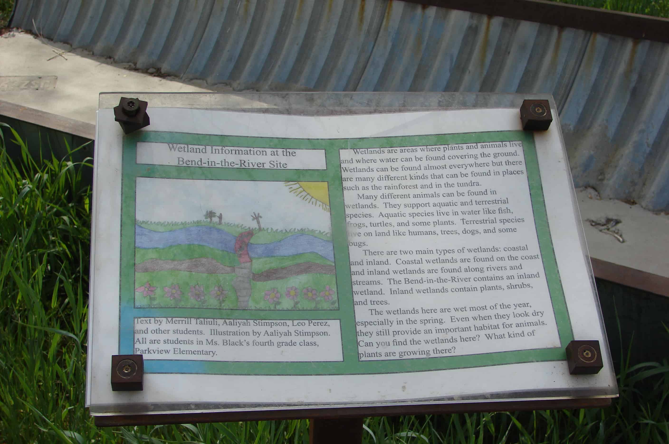
Bend in the River is a site for environmental restoration and protection of ecosystem services. It is one of four river restoration sites completed by Salt Lake City in 2012. However, much work remains in order to improve the impaired water quality of the Jordan River in Salt Lake City.
The location of the park is where, on July 24, 1847, Brigham Young first saw the Salt Lake Valley that would soon become the Mormon pioneers’ new home. Members of The Church of Jesus Christ of Latter-day Saints believe that Young had a vision shortly after they were exiled from Nauvoo, Illinois. In the vision, he saw the place where the Latter-day Saints would settle and “make the desert blossom like a rose” and where they would build their State of Deseret. As the account goes, Brigham Young was very sick with Rocky Mountain Spotted Fever and was riding in the back of a wagon. After exiting Emigration Canyon and cresting a small hill, he asked to look out of the wagon. Those with him opened the canvas cover and propped him up so he could see the empty desert valley below. He then proclaimed, “It is enough. This is the right place. Drive on.” The words, “this is the place,” were soon heard throughout the wagon train as the Mormon pioneers descended into the valley, their long journey having come to an end. The statement was first attributed to Young by Wilford Woodruff more than thirty years after the pioneer advent.
Over the next several years, tens of thousands of Mormon pioneers emerged from Emigration Canyon and first saw their new home from this same location. A Utah state holiday, Pioneer Day, occurs each year on July 24 to commemorate the Mormon pioneers’ entry into the valley.
Sugar House Park, (sometimes mistakenly called Sugarhouse Park) is located between I-80, 2100 South, 1300 East, and 1700 East in the Sugar House neighborhood of Salt Lake City, Utah, United States. The 110-acre park is at the heart of the Sugar House neighborhood and is the site of a fireworks show and concert every Independence Day (July 4th) and a popular sledding location in the winter.
The park was the location of Sugar House Prison, Utah’s first state prison, until 1951 when the current prison was opened in Draper.