Truman Osborn Angell (June 5, 1810 – October 16, 1887) was an American architect who served many years as the official architect of The Church of Jesus Christ of Latter-day Saints (LDS Church). The brother-in-law of Brigham Young, he was a member of the vanguard company of Mormon pioneers that entered the Salt Lake Valley on July 24, 1847.
He designed many of the great and classic buildings in Utah including:
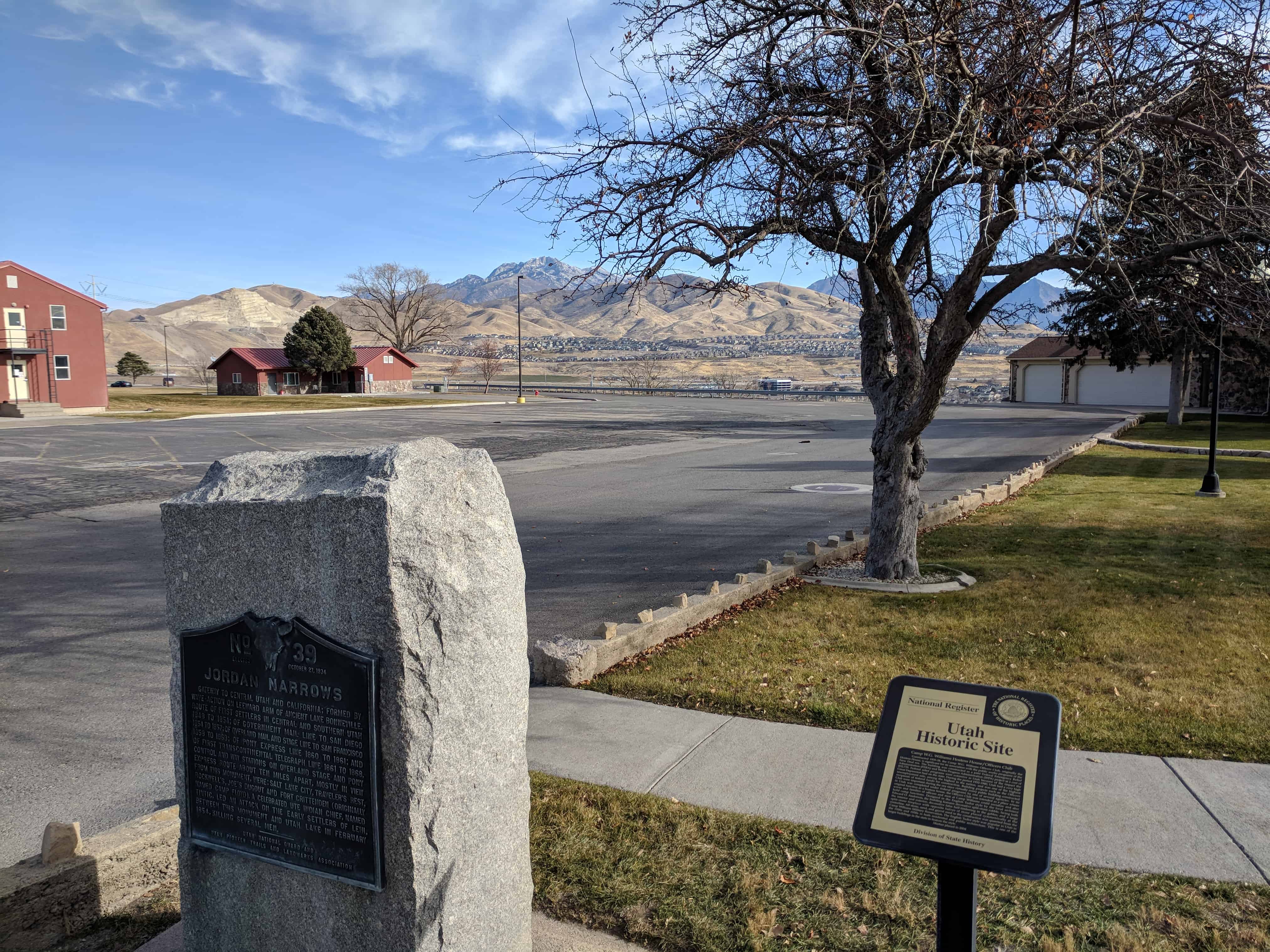
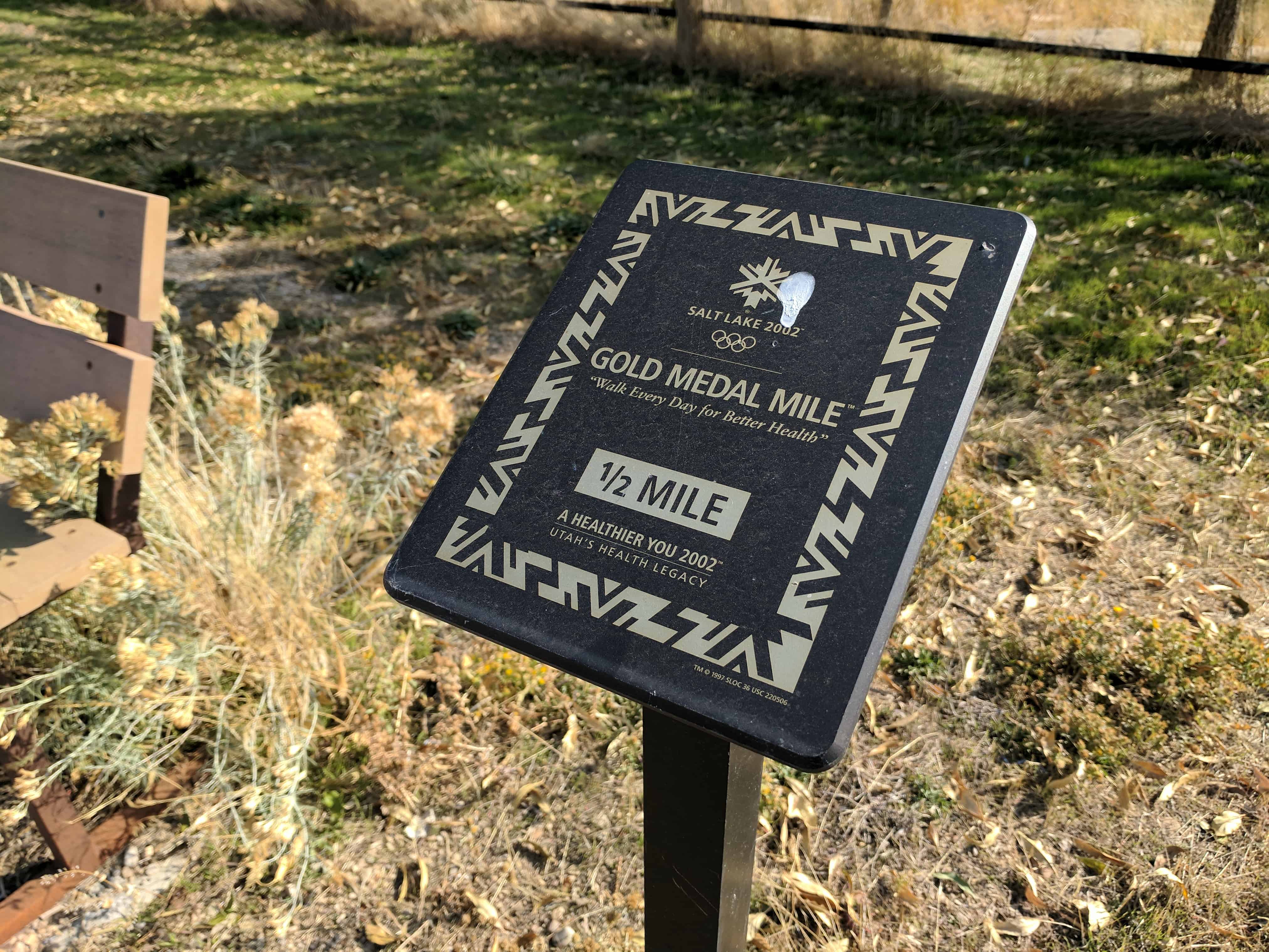
UPTLA Marker #39, see others in the series here.
Gateway to central Utah and California; formed by wave-action on leeward arm of ancient Lake Bonneville. Route of first settlers in central and southern Utah 1848 to 1854; of government mail line to San Diego 1854 to 1857; of Overland Mail and Stage Line to San Francisco 1858 to 1868; of Pony Express Line 1860 to 1861; and of first transcontinental telegraph line 1861 to 1868. Control and way stations on overland stage and Pony Express route about ten miles apart, mostly in view from this monument, were: Salt Lake City, Travelers Rest, Rockwell’s, Joes Dugout and Fort Crittenden (originally named Camp Floyd). A celebrated Ute Indian Chief, Named Tintic, led an attack on the early settlers of Lehi, between this monument and Utah Lake in February 1854, killing several men.
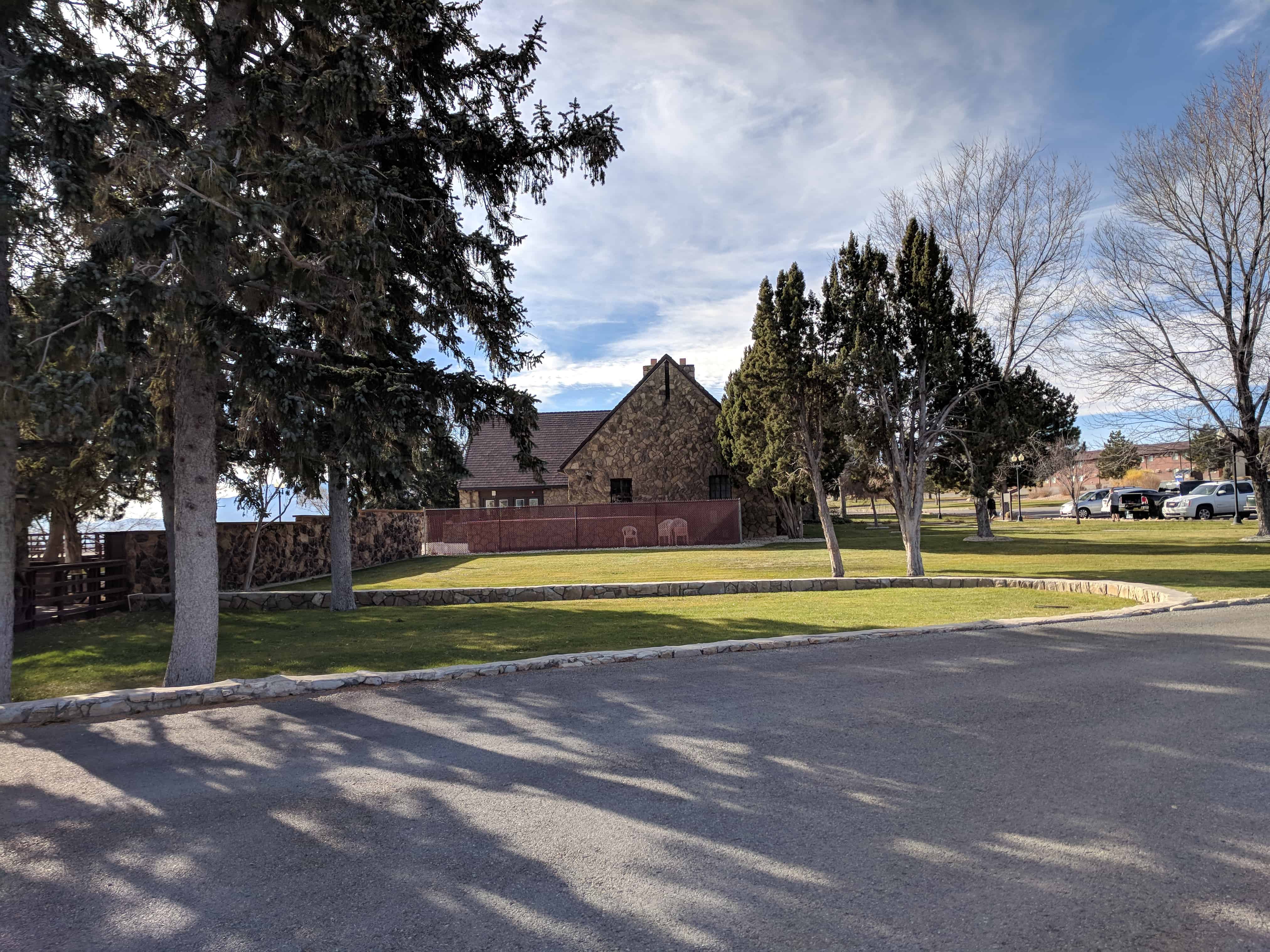
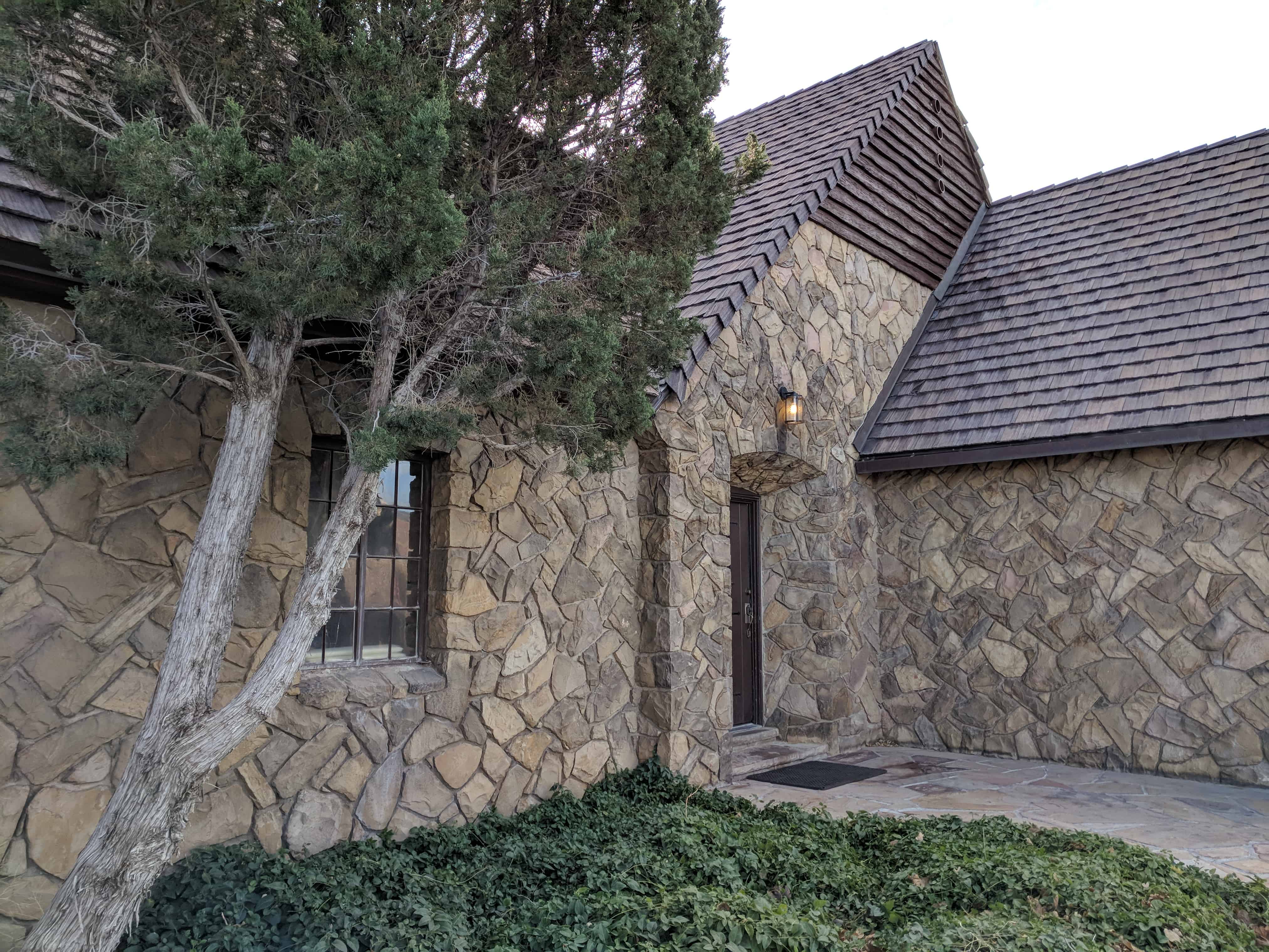
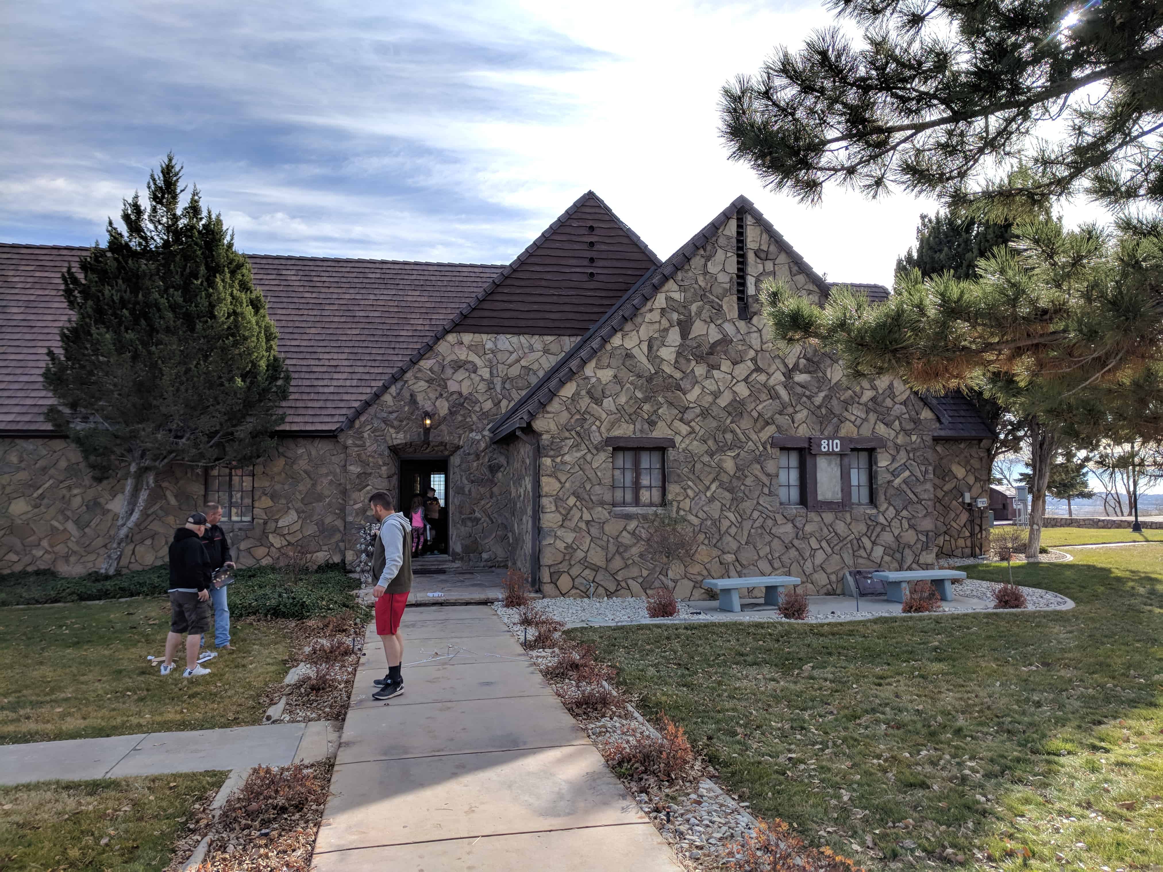
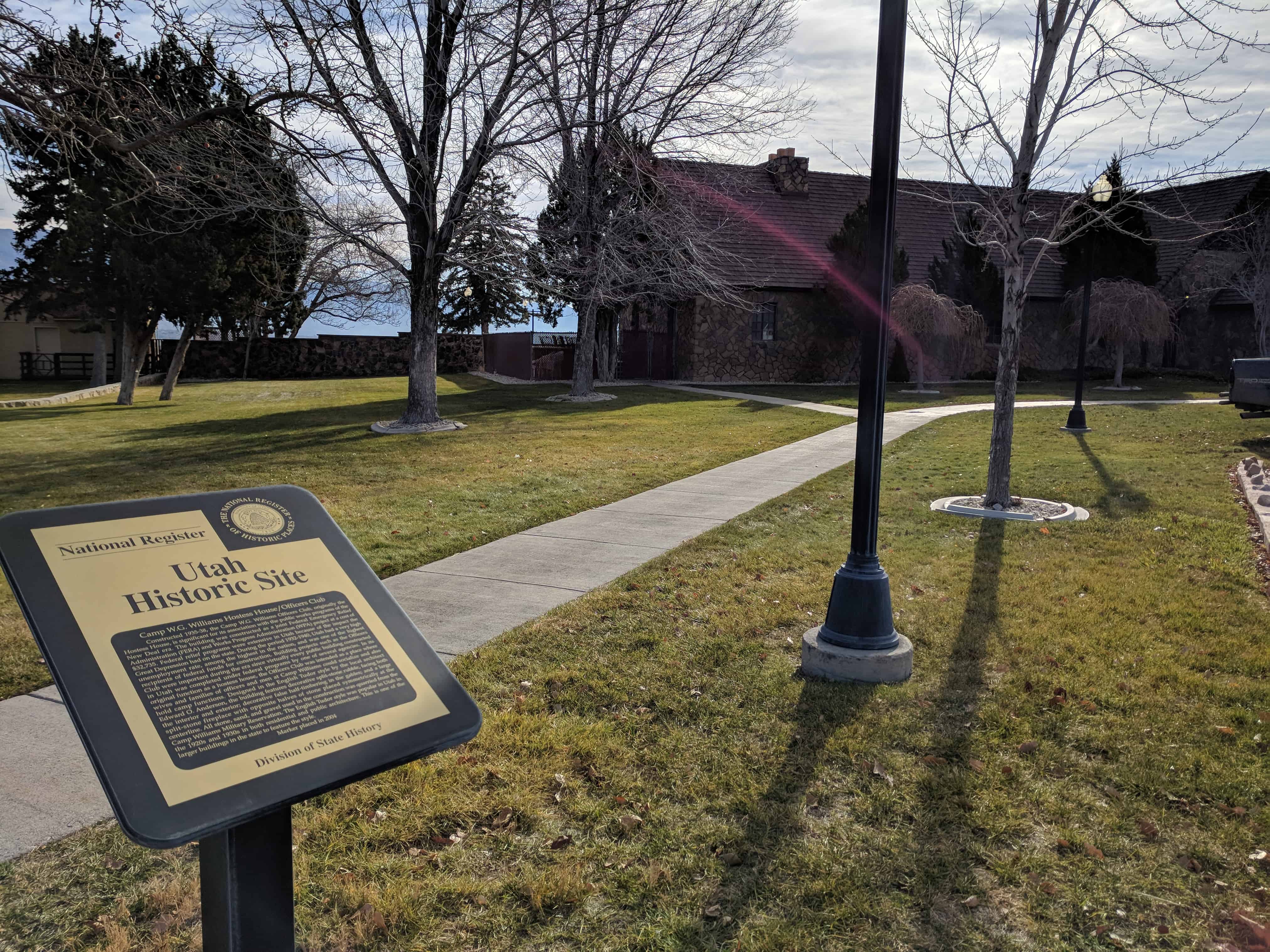
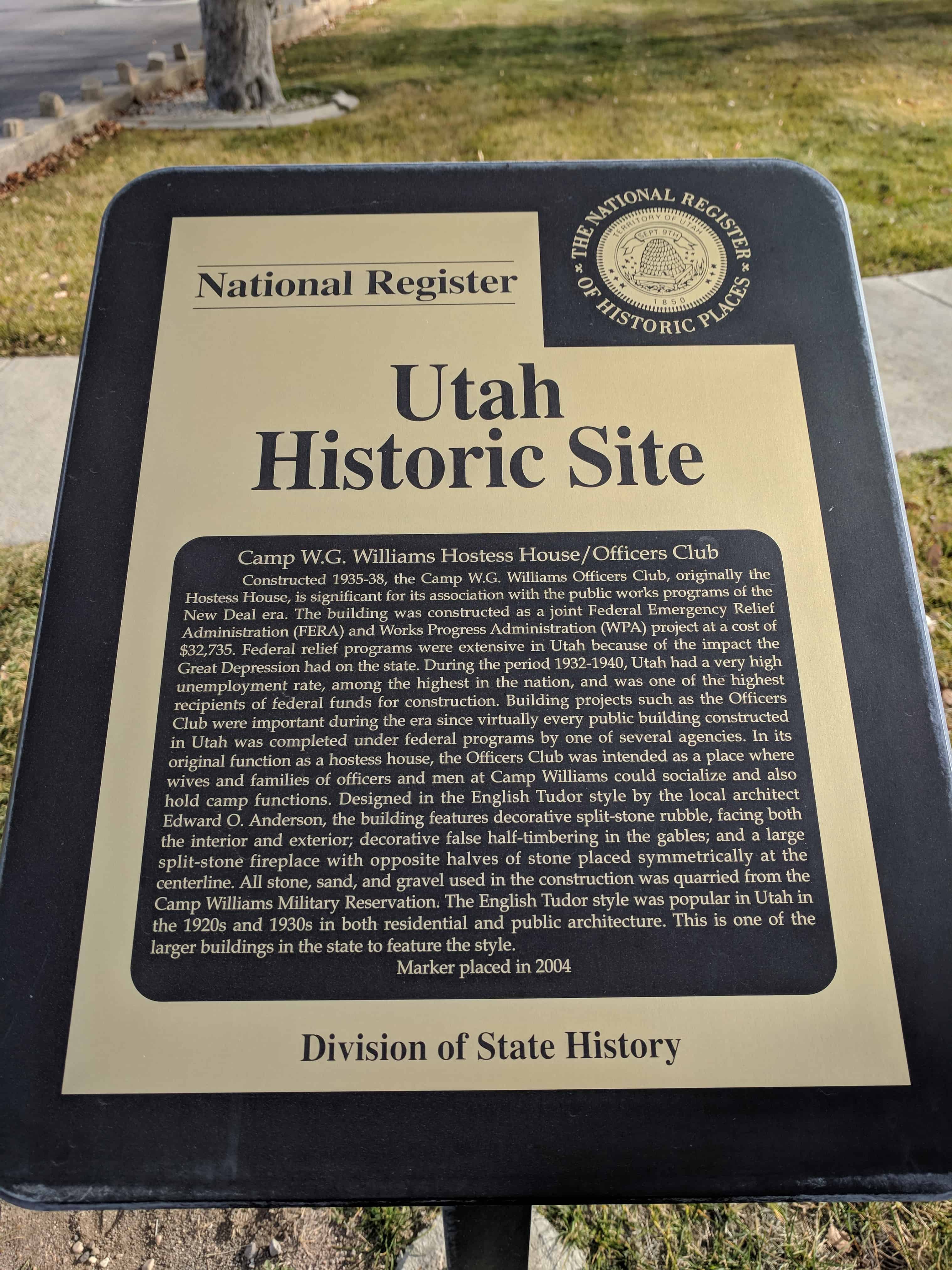
Constructed 1935-38, the Camp W.G. Williams Hostess House / Officers Club, originally the Hostess House, is significant for its association with the public works programs of the New Deal era. The building was constructed as a joint Federal Emergency Relief Administration (FERA) and Works Progress Administration (WPA) project at a cost of $32,735. Federal relief programs were extensive in Utah because of the impact the Great Depression had on the state. During the period 1932-1940, Utah had a very high unemployment rate, among the highest in the nation, and was one of the highest recipients of federal finds for construction. Building projects such as the Officers Club were important during the era since virtually every public building constructed in Utah was completed under federal programs by one of several agencies. In its original function as a hostess house, the Officers Club was intended as a place where wives and families of officers and men at Camp Williams could socialize and also hold camp functions. Designed in the English Tudor style by the local architect Edward O. Anderson, the building features decorative split-stone rubble, facing both the interior and exterior; decorative false half-timbering in the gables; and a large split-stone fireplace with opposite halves of stone placed symmetrically at the centerline. All stone, sand, and gravel used in the construction was quarried from the Camp Williams Military Reservation. The English Tudor style was popular in Utah in the 1920s and 1930s in both residential and public architecture. This is one of the larger buildings in the state to feature the style.
The Camp W.G. Williams historical masonry ditch is a concrete and rock-lined irrigation ditch system constructed for the Utah National Guard by the Works Progress Administration (WPA) during the Great Depression. As such, a federal appropriation of $22,155 was utilized, many Utahns were provided with jobs, and the cantonment area was improved. The project, originally proposed to the WPA in December of 1938, was completed by 1940. The masonry ditch was designed and constructed to irrigate newly planted trees along the camp avenues as well as enhance camp aesthetics. The stone was obtained from a local quarry located west of the cantonment area in the military reservation. The stone and mortar workmanship is characteristic of many WPA projects. All in all, the masonry ditch is credited as the first federally funded “curb and gutter” project in the United States. To this day, the preserved portion of the ditch contains architectural landscape significance for its association with the WPA and early Camp W.G. Williams improvement.
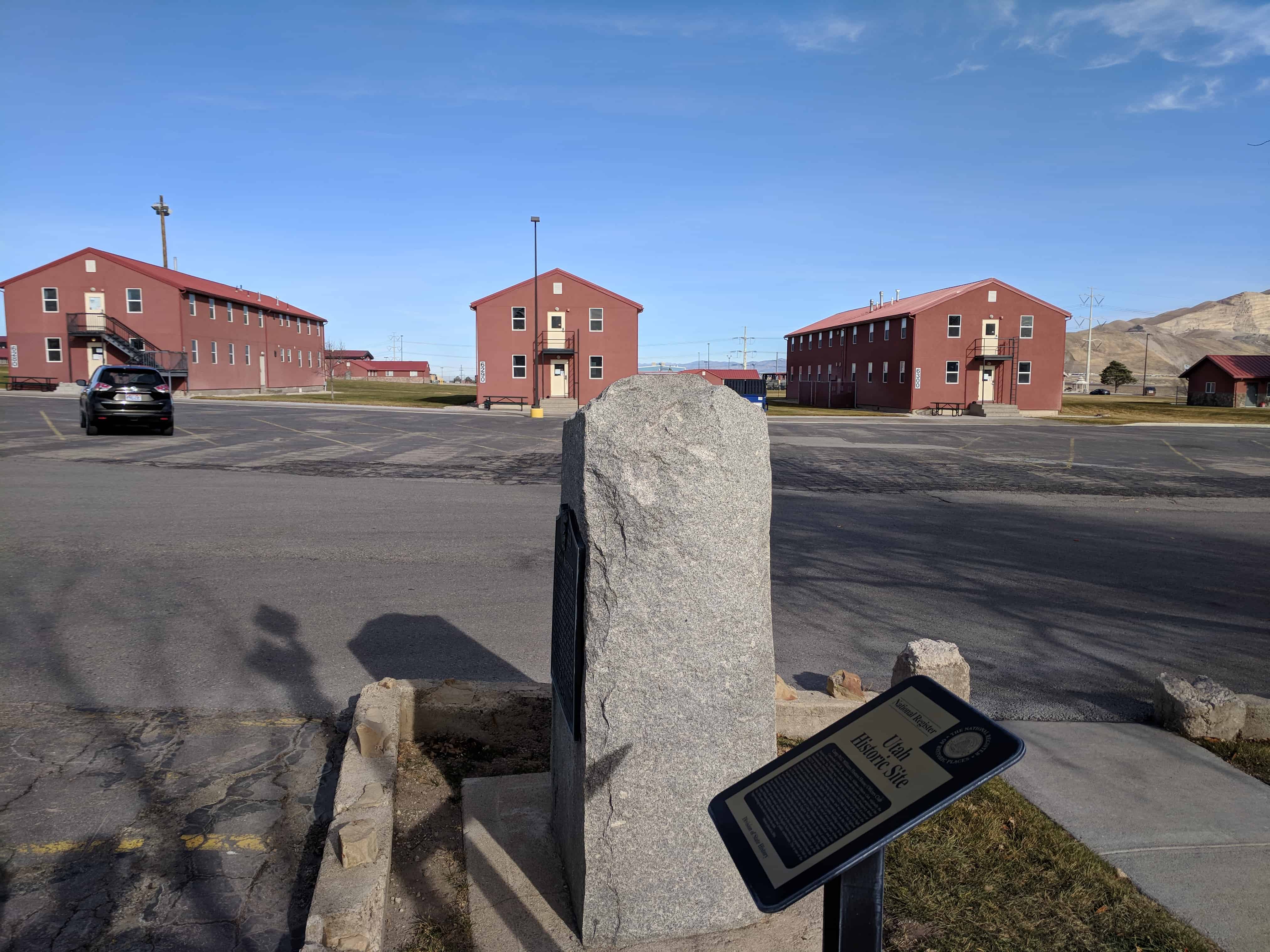
Camp W. G. Williams, commonly known as Camp Williams, also known as Army Garrison Camp Williams, is a National Guard training site operated by the Utah National Guard. It is located south of Bluffdale, west of Lehi, and north of Saratoga Springs and Cedar Fort, approximately 25 miles south of Salt Lake City, straddling the border between Salt Lake County and Utah County in the western portion of the Traverse Mountains. Camp Williams is also home to the Non-Commissioned Officer’s Basic Leader Course, which is taught to Active, National Guard, and Reserve components. Camp Williams land comprises about 6 square miles of flat area and 47 square miles of mountainous region.
We hold in sacred memory those sturdy and brave pioneer women, who left their homes in the Eastern United States or sailed from the foreign lands; that trekked across hills, plains, and mountains, forded streams and rivers, birthed and buried loved ones along the trail. Others followed, with faith in every footstep, arriving in Price River Valley. Contributing their ethnic traditions and religious beliefs; each endured hardship to conquer this desert, make a home, provide for their posterity and contribute to the settlement.
The women hoed and helped husbands, fathers, sons and daughters to prepare the soil and plant. They prayed for sun and rain, in turn; fought off crickets, grasshoppers or prairie fires in order to save their crops. They harvested, gleaned, and ground wheat on gristmill stones, lovingly shaped loaves of bread and baked in earthen ovens. They blessed and broke bread, together, as families and friends.
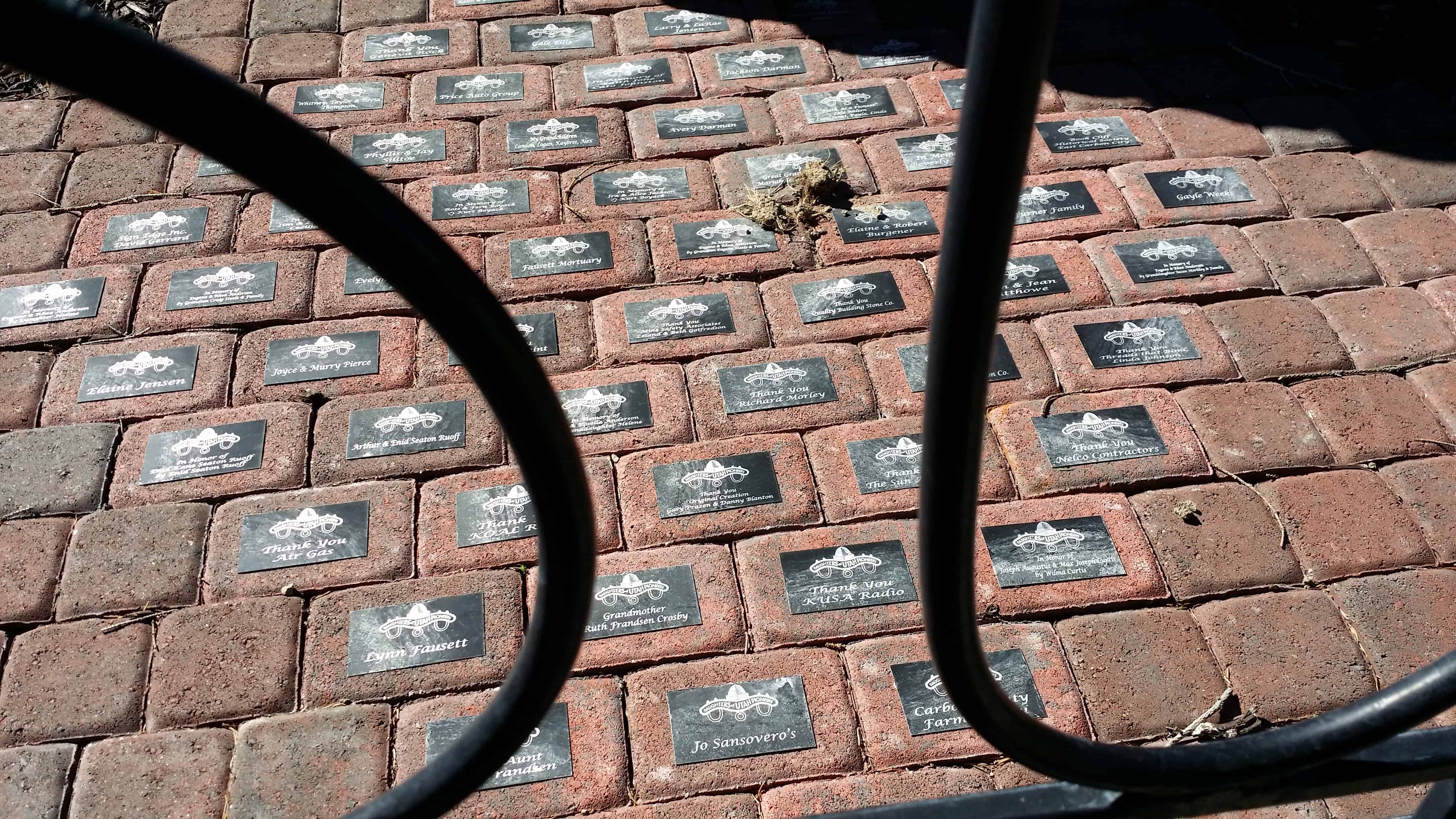
In honor of these pioneer women’s contributions, in June of 1928, Price’s Mayor, W. F. Olson, deeded DUP land for the Pioneer Evergreen Park. Price Company Daughters of Utah Pioneers, their families, and Boy Scouts of America cleared the area and prepared for the monument and statue to be erected. Local artist, Dean Fausett, created an original statue of a pioneer woman in a walking position, dressed in a long dress with a bonnet hanging down her back, and a sack of grain over her left arm, to adorn the top of a rock cairn built by Dan Morley. The dedicatory prayer for the original monument was offered by Bishop George Jorgensen, September 7, 1931. Years later, the cement statue and bronze markers disappeared.
In 2009, a search began to locate the monument’s history. DUP minutes revealed that the original statue was modeled after Florence Virginia Horsley Jorgensen. News articles and photographs were provided to Gary Prazen, a local sculptor, to recreate the replica in enduring bronze. Richard Morley, repaired the original rock monument.
Price City Centennial Year Celebration of 2011 marks the rededication of Price Company Daughters of Utah Pioneer’s efforts to restore “Pioneer Women” to honor all women residing in this multinational community, united in their preservation of the past and dedicated to prepare for Price’s future.